


W0C/SP-071
Schoolmarm Mountain
3454 m / 11332 ft
Aug 22, 2016
By KX0R
Schoolmarm Mountain is a fun sub-alpine SOTA peak in the west-central Puma Hills, on the east side of South Park.
Key Points:
• Pike National Forest
• Closed logging road ascends most of the way
• Relatively short off-trail climb to peak
• Prominent summit
• Fine HF site
• 2.6 miles round-trip
• 1200 vertical feet
-
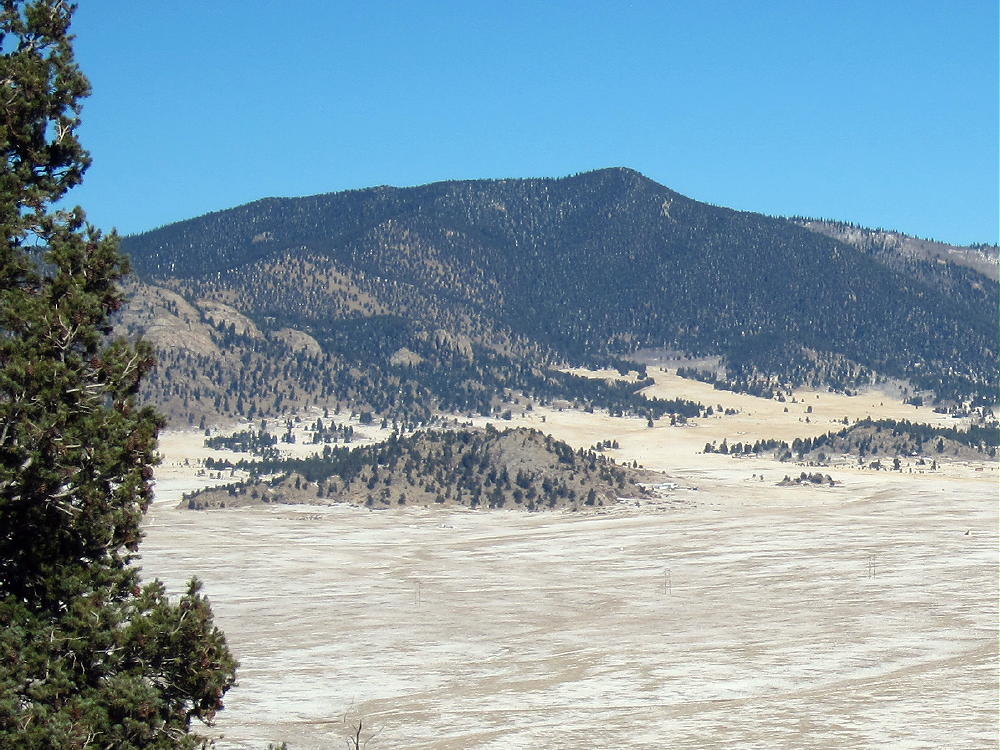
- Schoolmarm Mountain from Sulphur Mountain, November 14, 2015
Driving Directions:
• Drive west on Highway 285, across Kenosha Pass, to Jefferson
• Turn south on Highway 77, and go about 16 miles to Tarryall Reservoir
• Just past Tarryall Reservoir, turn right, west, on CR 23
• CR 23 is mostly a pretty good 2WD dirt road, with some bumpy sections and washboarding
• A detailed map is essential for the rest of the drive. Google maps doesn’t include some of the relevant forest roads and other details.
• The Pike National Forest map is very useful
• Follow CR 23 generally west several miles, around several bends, and past a few splits, until it eventually leads south around the western base of the Puma Hills. This road is called Turner Gulch Road, CR 23, even though it’s slightly west of the actual Turner Gulch Road FR-145. Don’t drive into Packer Gulch:
-
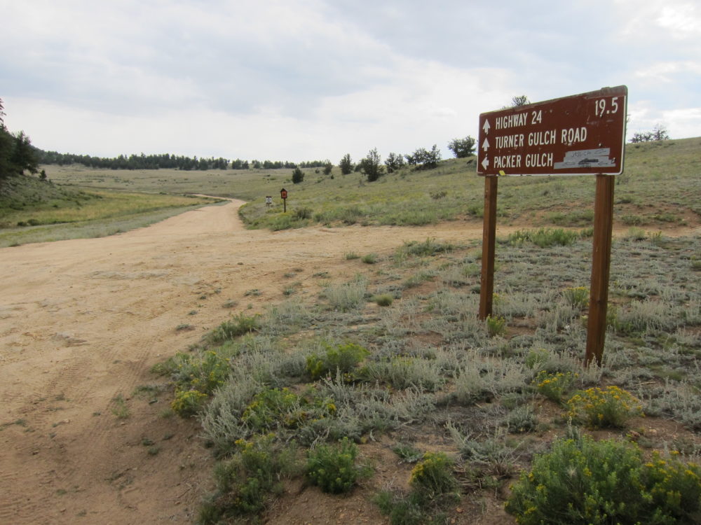
- Schoolmarm Mountain – Sign for Turner Gulch Road CR 23
• Drive south on CR 23 for about 6 miles from the fork where FR-146 goes northwest toward Eagle Rock, etc.
• Turn left, east, on marked FR-237
• FR-237 is an OK, lumpy, narrow 2WD road if it’s dry – at least medium clearance is needed for this part of the trip; there are humps.
• Drive up FR-237 about one mile from CR 23 to a fork.
• At the fork go right, southeast, on FR-237A, into the upper part of Turner Gulch
-
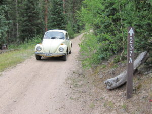
- Schoolmarm Mountain – FR 237A
• Ascend about ½ mile up FR-237A to the gated end of the road
• Park here – this is the “trailhead”, but it’s not so marked.
*** CR 23 can also be accessed easily from Highway 24 ***
-
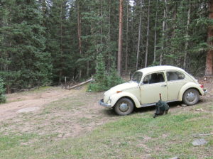
- Schoolmarm Mountain – Trailhead at End of FR-237A
-
- Schoolmarm Mountain – Old Closed Road
The Climb:
• Hike up the closed road behind the gate
• Not far up from the gate at the trailhead there’s a fork, and a road leads left, up a hill, and off to the east
• Stay on the road leading south up Turner Gulch
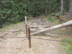
• Unfortunately for hikers, the USFS wants this road permanently closed to vehicles, so they have spread hundreds of old tree trunks across the road for at least ¼ mile up.
-
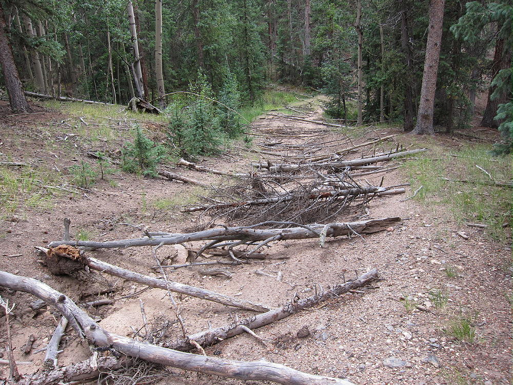
- Schoolmarm Mountain – Old Closed Road with Obstacles
• In some parts it’s easier to hike along the road than on it.
• Eventually the route is mostly clear of obstacles, and hiking becomes more efficient
-
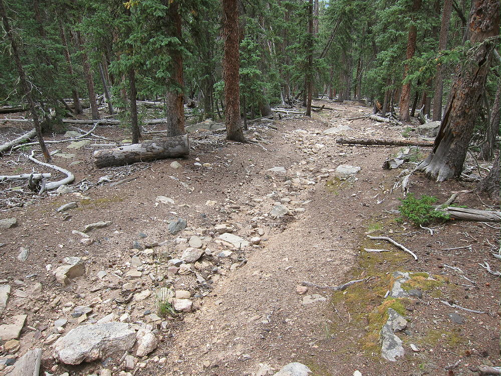
- Schoolmarm Mountain – Old Closed Road beyond the Obstacles
• The road ends at a large cleared area.
• Continue climbing up the hill on game trails, through relatively open sub-alpine forest, to a saddle at 11,000 feet.
• Hike steeply southwest from the saddle for about ¼ mile and 330 vertical feet to the summit of Schoolmarm Mountain. Most of the route is along an old trail up the partly-forested ridge.
-
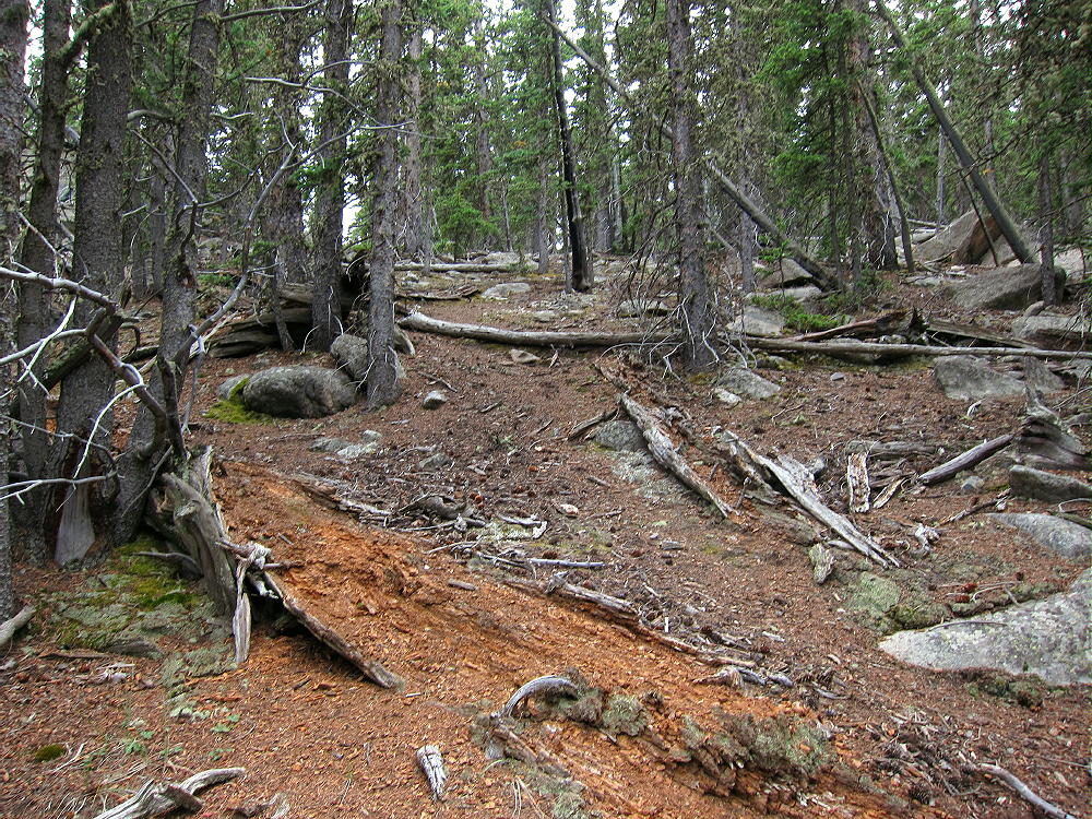
- Schoolmarm Mountain – Open Route up toward Summit
• An intact triangulation station from 1953 stands on the rocky peak
• The related USCGS Benchmark is beneath the wooden station
-
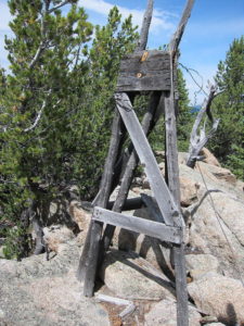
- Schoolmarm Mountain – USCGS Triangulation Station on Summit
-
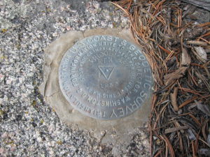
- Schoolmarm Mountain – Benchmark on Summit
Additional Details:
Thanks to Steve WG0AT for his earlier SOTA activations of Schoolmarm!
A little rain shower started when I reached the top, and I found some shelter under a tree. I set up my radio gear slightly southeast of the peak. There’s plenty of room to set up near the rocky summit. You could even set up right by the triangulation station – just be careful of the steel guy wires!
The views from the actual summit are somewhat limited by the bristlecone pines, but what you can see is still awesome – South Park, the Collegiate Peaks, the Divide, etc. There’s a special rocky spot just south of the summit with excellent views.
-
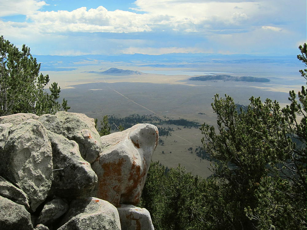
- Schoolmarm Mountain – View Southwest to Spinney and Sulphur Mountains
Schoolmarm is a fine SOTA peak. It’s prominent in all directions, and no higher mountains block HF skip signals significantly. The site has very low noise – there’s no development on the mountain. The peak is probably an OK VHF/UHF site, with coverage limited to areas of South Park.
-
- Schoolmarm Mountain – View West across South Park
This mountain can be combined with several nearby SOTA peaks for a dual activation:
Puma Peak W0C/SP-065
Burntop W0C/SP-074
Eagle Rock W0C/SP-113
Observatory Rock W0C/SP-102
Badger Mountain W0C/SP-072
Be aware of hunters in the fall – wear bright orange.
73
George
KX0R
-
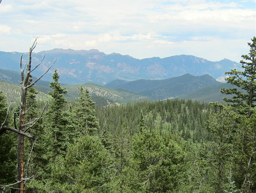
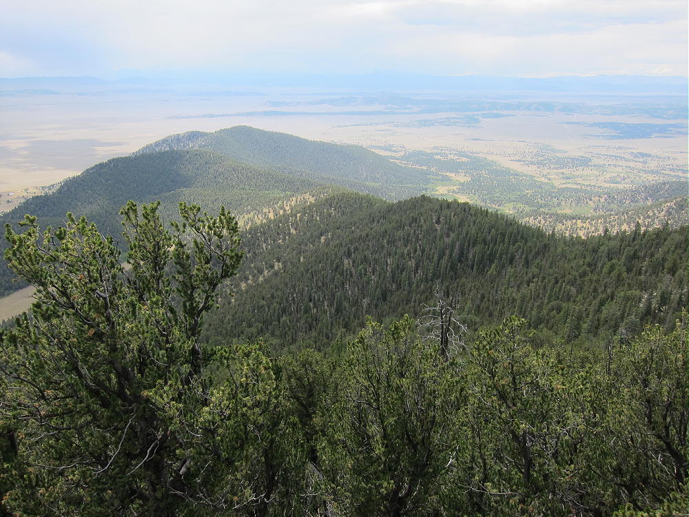
- Schoolmarm Mountain – View East to Tarryall Range
![]() !! WARNING !! There are old mountaineers, and
bold mountaineers... there are no old-bold mountaineers.
Hiking and mountain climbing are potentially hazardous activities particularly in Colorado with its extreme elevations. I am not accepting responsibility for any death or injury resulting from activations based on my trip reports. Proper training, experience, and personal capability assessment is required - enjoy!
!! WARNING !! There are old mountaineers, and
bold mountaineers... there are no old-bold mountaineers.
Hiking and mountain climbing are potentially hazardous activities particularly in Colorado with its extreme elevations. I am not accepting responsibility for any death or injury resulting from activations based on my trip reports. Proper training, experience, and personal capability assessment is required - enjoy!