SOTA outings by KØMOS and contributors

Tag: Puma Hills

  • W0C/SP-074 (Burntop) – 3379 m / 11085 ft

    W0C/SP-074
    Burntop
    3379 m / 11085 ft
    Sep 11, 2016

    By KX0R

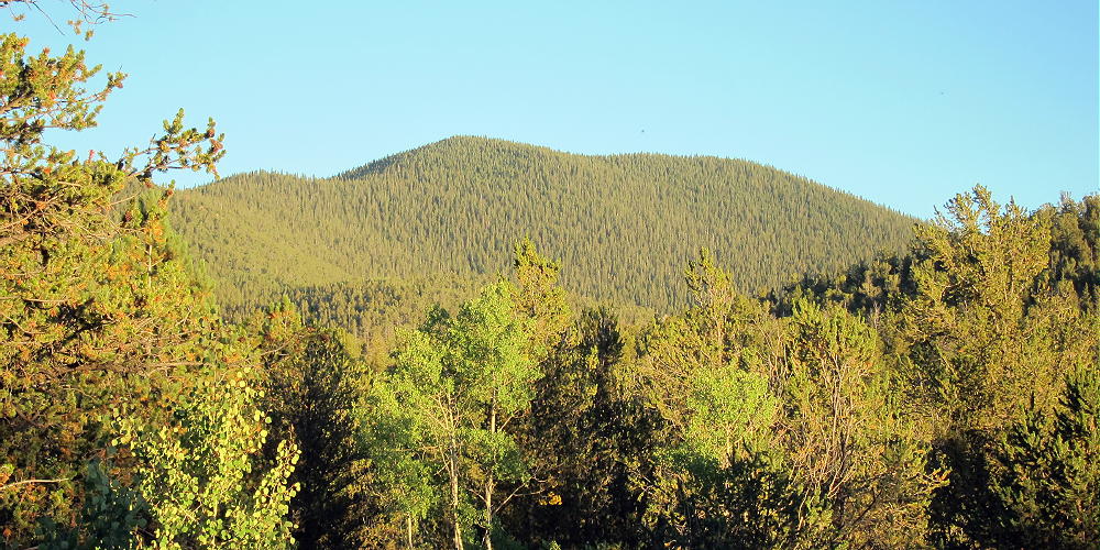
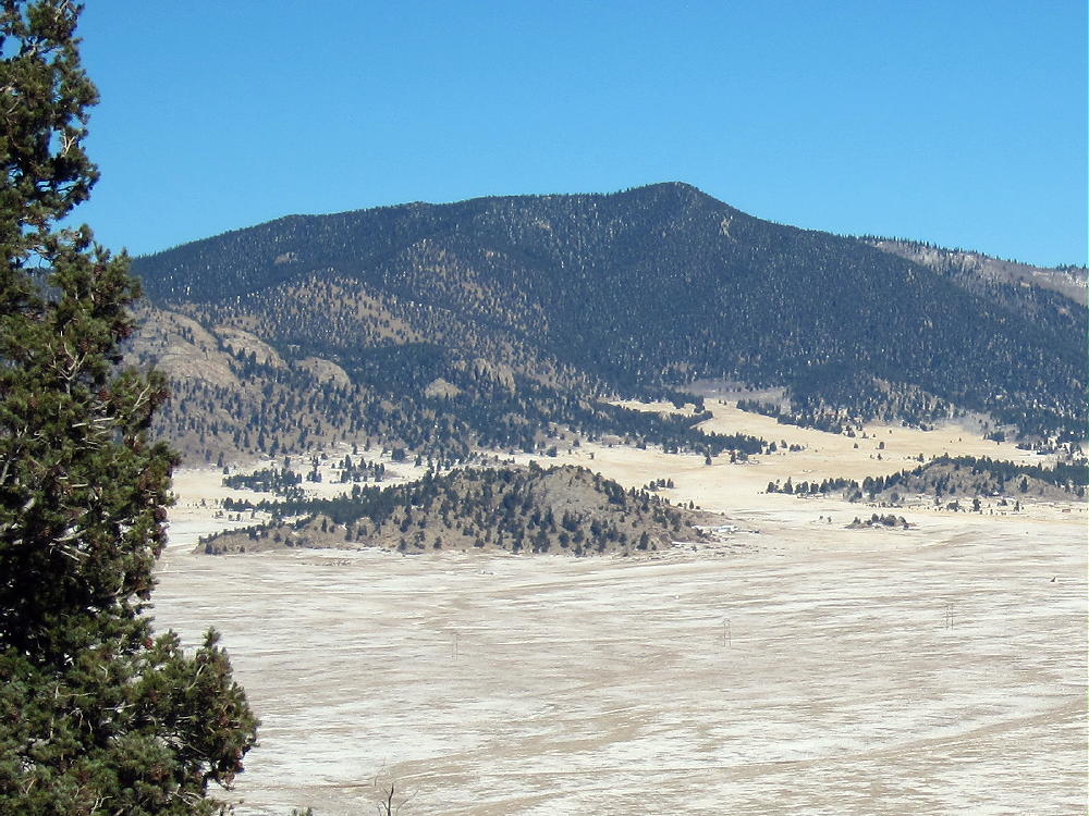
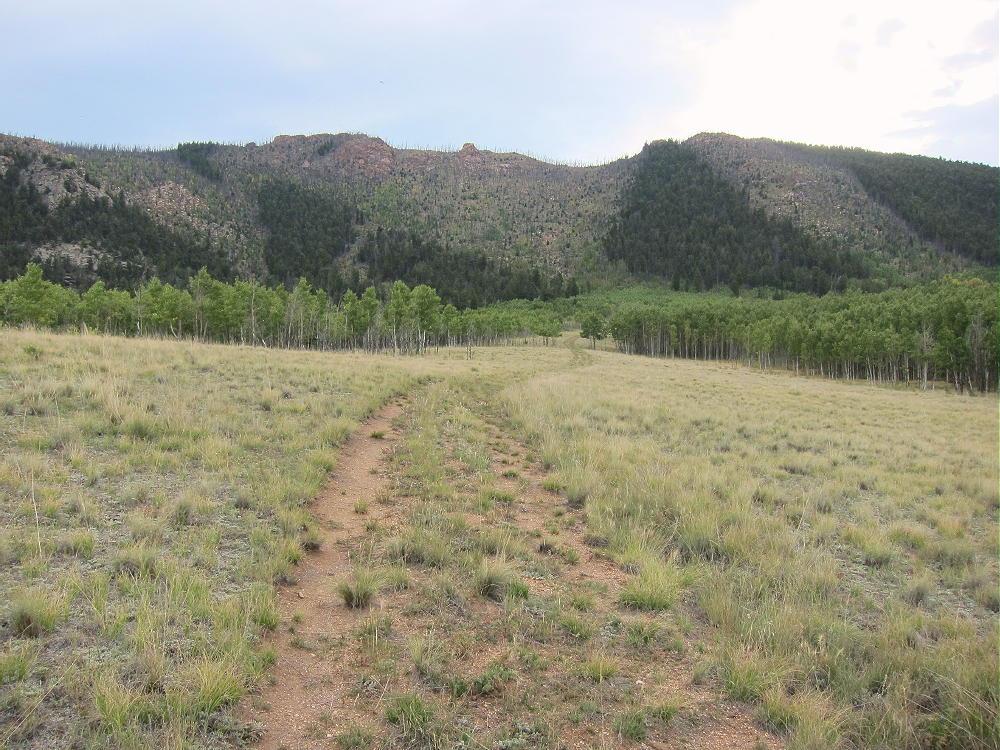
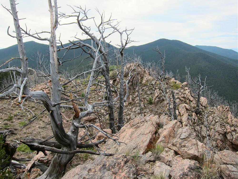
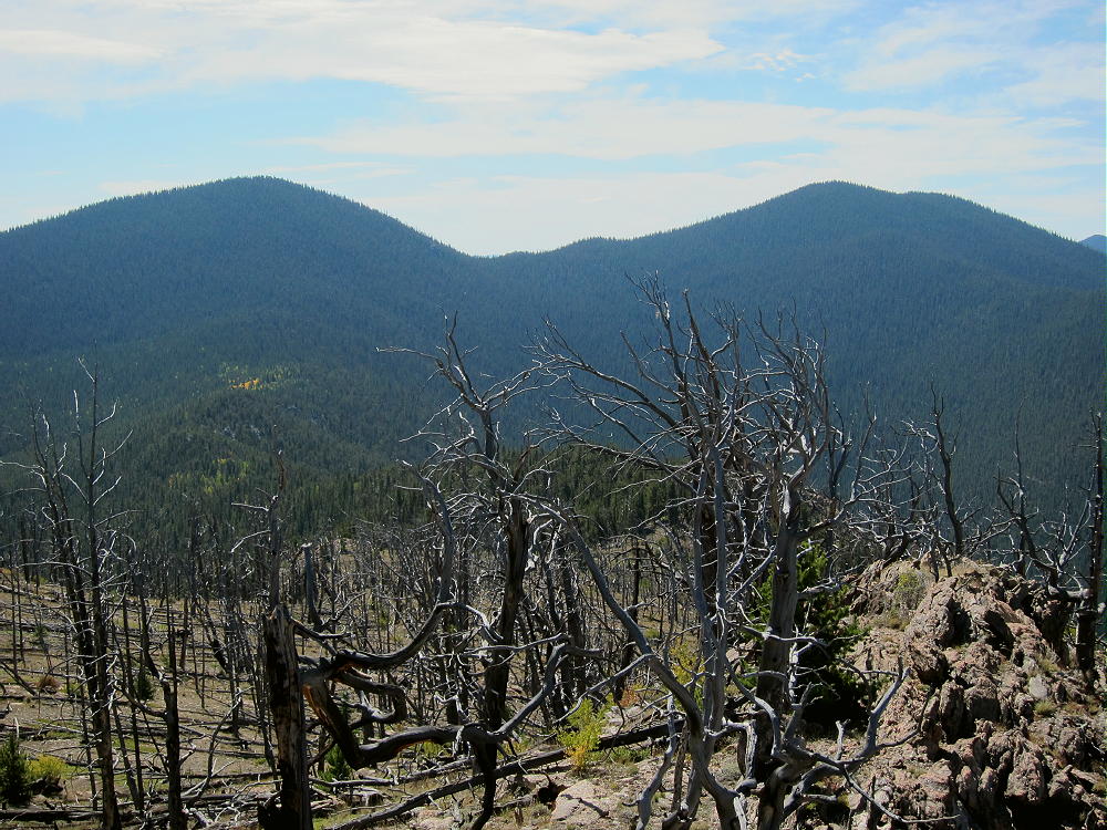
    Burntop is a surprisingly fun sub-alpine SOTA peak in the northern Puma Hills, on the east side of South Park. The west side of the mountain and the summit ridge were burned by a forest fire many years ago.

    Key Points:

    Pike National Forest
    • Burned area
    • Good unmarked trail part of the way
    • Relatively short, steep climb
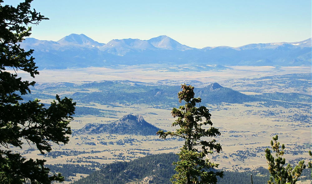
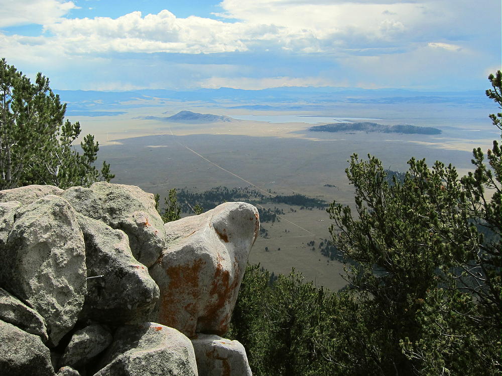
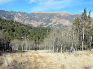
    • Great views of South Park and beyond
    • Fine HF site
    • ~ 2.7 miles round-trip
    • ~ 1570 vertical feet
    Driving Directions:

    • Drive down 285, across Kenosha Pass, to Jefferson
    • Turn south on Highway 77 and go about XX miles to Tarryall Reservoir
    • Just past Tarryall Reservoir, turn right, west, on CR 23
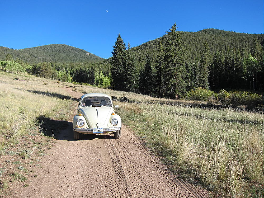
    • CR 23 is a bumpy 2WD dirt road
    • Drive about 1.5 mile to a split in the road
    • Turn left, south, on FR 144 into Packer Gulch
    • FR 144 is a good 2WD dirt road if dry
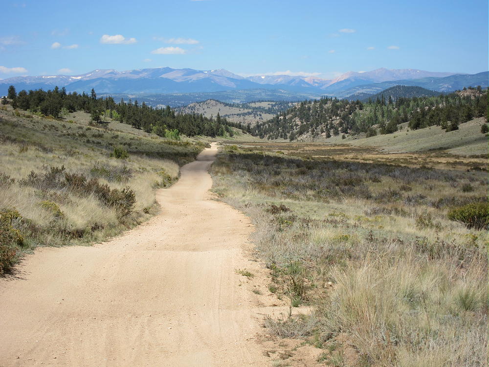
    • Drive south on FR-144 about 3.5 miles
    • Look for Burntop on the left, east, side – the burn scar is obvious
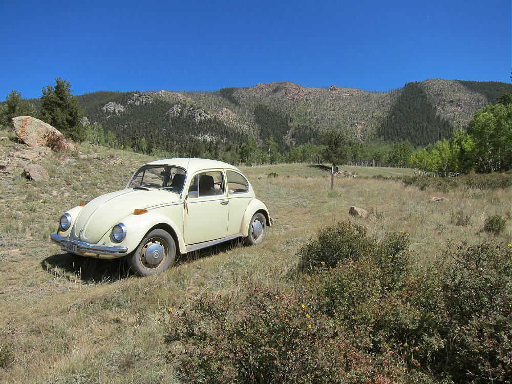
    • A left-right dog-leg in the road precedes the “trailhead” at 9520 feet
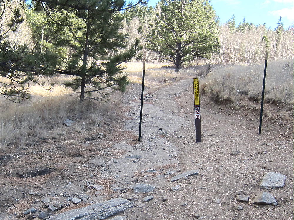
    • A closed forest road will be visible at the second bend of the dog-leg, directly below Burntop – look for a fiberglass USFS marker
    • Park here
    The Climb:

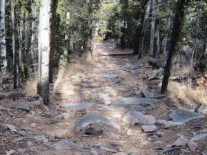
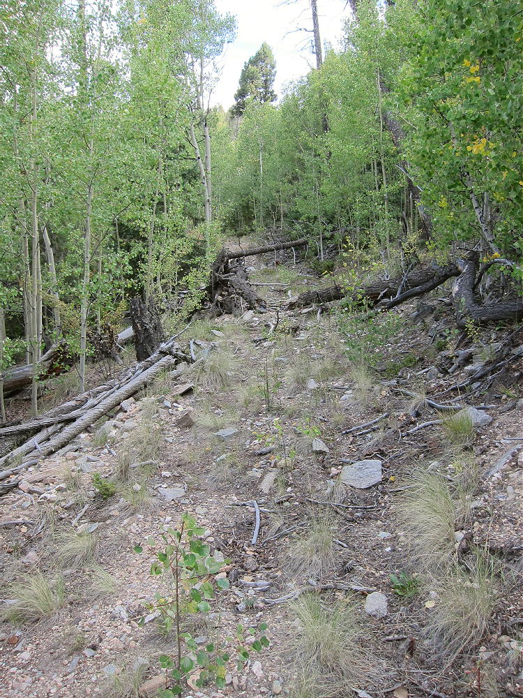
    • Hike up the closed road about 0.6 mile, first through a meadow, and then into the aspens – the road/trail gradually disappears.
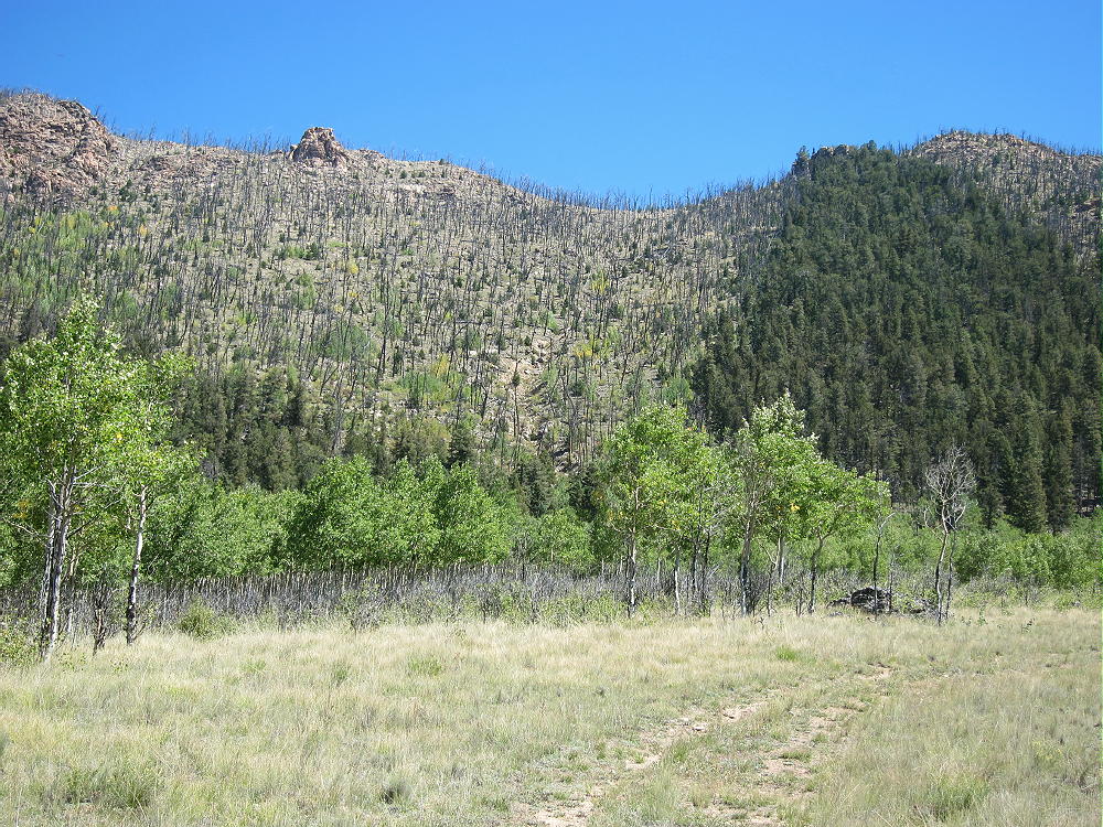
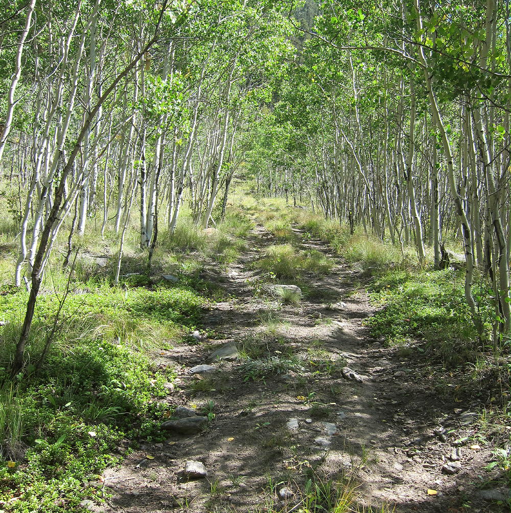
    • Climb left toward an obvious gully
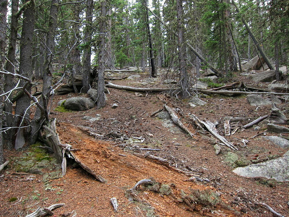
    • Near 9900 feet, cross the steep gully below the burned area, and start hiking up the steep burn scar
    • Small game trails lead up through the dead trees and bushes
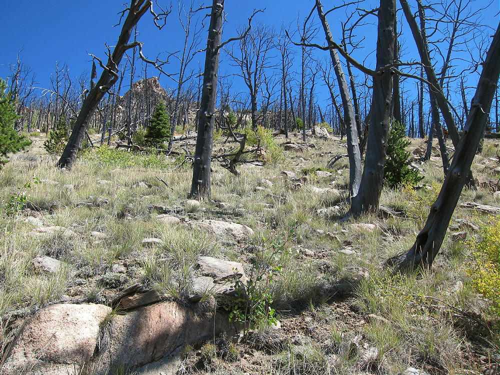
    • Stay north of the gully, and hike ENE up to the ridge-top
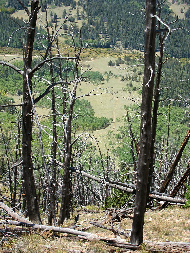
    • Turn north at the ridge-top
    • Hike along the ridge through an open burned area, all the way to the top
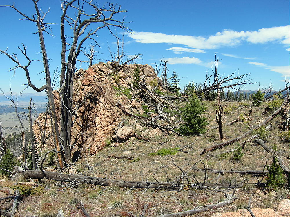
    • There are several large rock outcrops within the Activation Zone
    • The summit has a jar with a register
    • Google maps are OK for this area
    • The Google satellite image is superb – it shows the dog-leg in the road, the trailhead, the closed road as far as it goes, the steep gully, the burn scar, and the summit area.
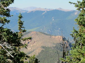
    Additional Details:

    The closed road provides a good route to this accessible SOTA peak. It’s “secret”, because it’s not shown on the Pike National Forest map, nor does it have a marked “trailhead”. It has no number, and its only marking is that it’s closed to motor vehicles. This old trail leads to the best place to cross the gully, in order to climb the burn scar.

    The climb from the upper end of the road to the ridge-top south of the summit is only about 0.4 miles, but the vertical gain is 900 feet. The final ascent along the ridge is about 0.3 miles, with a vertical gain of about 280 feet. It’s sad that the fire burned up the mountain, but the open views near the top create an intense experience.
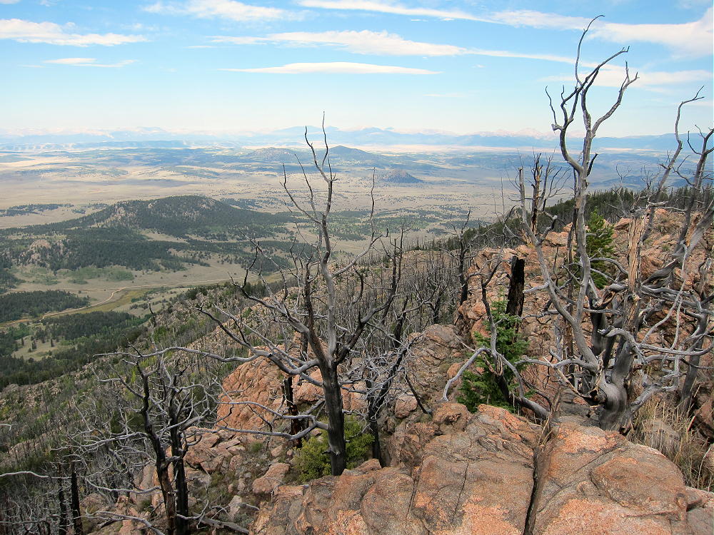
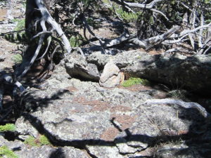
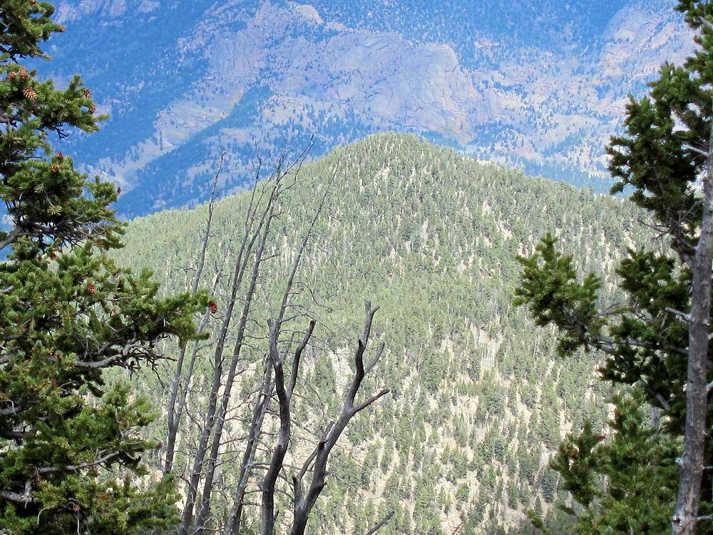
    The pointed summit is small but spectacular. It’s perched at the craggy top of a very steep slope, and the views will take your breath away. A small cairn with a jar marks the peak.

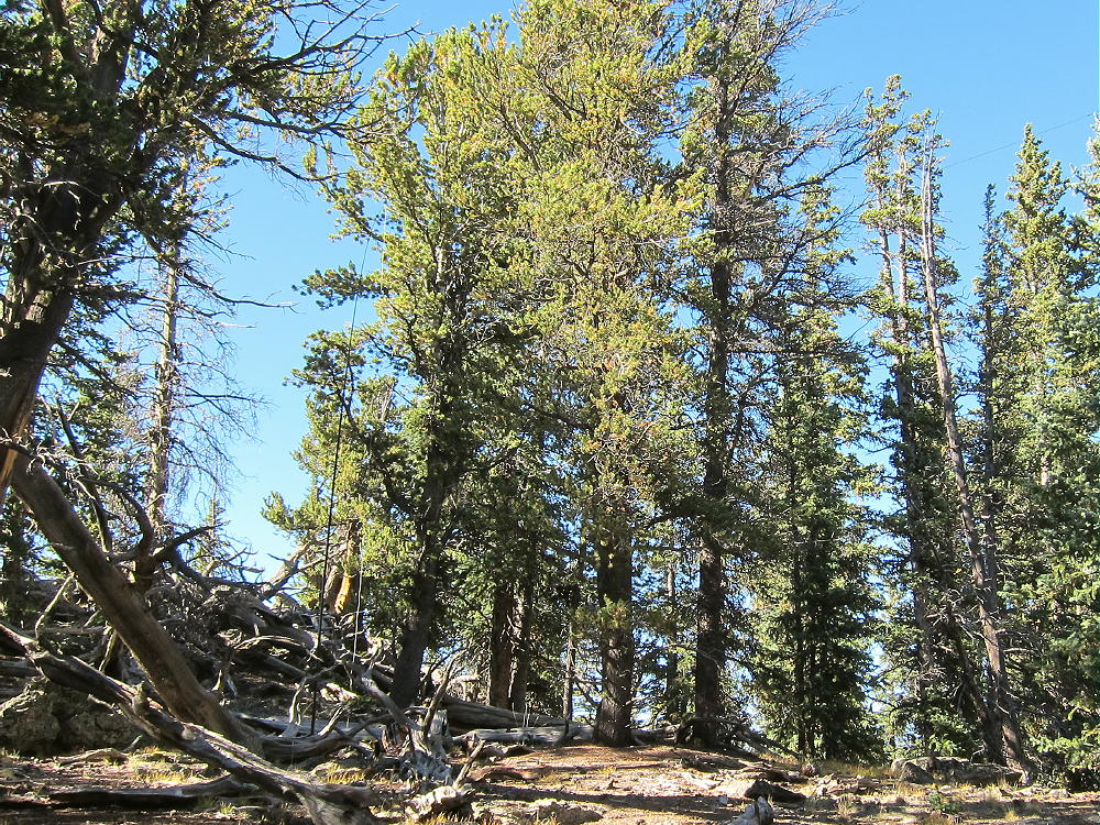
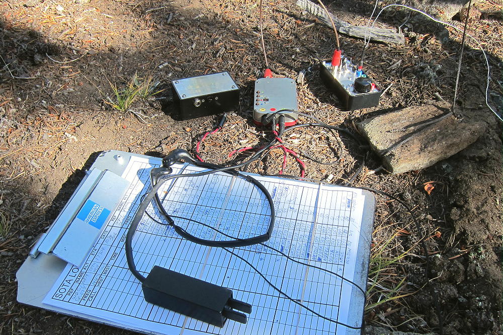
    The day I was there, it was a windy day, so I set up my radio gear in a sunny spot southeast of the peak. A few dead and live trees are available to support a pole or a wire.
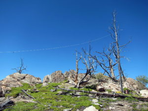
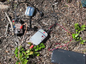
    I found a card from first-activator Steve WG0AT in the jar on the summit! What a pleasant surprise!

    Burntop is almost an ideal SOTA peak. It’s prominent in all directions, and it’s radio quiet, with no development around the mountain. No higher mountains block HF skip signals significantly. The peak is probably a poor VHF/UHF site, with coverage limited to the northern part of South Park.

    This peak can be combined with nearby Puma Peak W0C/SP-065 for a dual activation.
    Dispersed camping is allowed in Packer Gulch – but it’s really busy there on nice weekends.

    Be aware of hunters in the fall – wear bright orange.

    73

    George
    KX0R

    ATTENTION !! WARNING !! There are old mountaineers, and bold mountaineers… there are no old-bold mountaineers. Hiking and mountain climbing are potentially hazardous activities particularly in Colorado with its extreme elevations. I am not accepting responsibility for any death or injury resulting from activations based on my trip reports. Proper training, experience, and personal capability assessment is required – enjoy!

  • W0C/SP-065 (Puma Peak) – 3527 m / 11570 ft

    W0C/SP-065
    Puma Peak
    3527 m / 11570 ft
    Sep 10, 2016

    By KX0R

    Puma Peak is an interesting sub-alpine SOTA peak in the northern Puma Hills, on the east side of South Park.  It’s the highest summit in the Puma Hills.

    Key Points:

    Pike National Forest
    • Jeep road most of the way
    • Relatively short off-trail climb to peak
    • Prominent summit
    • Fine HF site
    • ~ 7.5 miles round-trip, hiking from 9770 feet
    • ~ 1800 vertical feet, hiking from 9770 feet

    Driving Directions:

    • Drive down 285, across Kenosha Pass, to Jefferson
    • Turn south on Highway 77 and go about 16 miles to Tarryall Reservoir
    • Just south of Tarryall Reservoir, turn right, west, on CR 23
    • CR 23 is a bumpy 2WD dirt road
    • Drive about 1.5 miles to a split in the road
    • Turn left, south, on marked Packer Gulch Road FR-144
    • FR-144 is a good 2WD dirt road up the valley if dry
    • Drive south on FR-144 about 4 miles


    • The road ascends the drainage and then makes a big turn to the right as it enters thick forest
    • Very soon there’s a junction with FR-237
    • This is a good place to park, unless you have a high-clearance vehicle

    The Climb:

    • It’s possible to drive up this road to a saddle at 11,040 feet, provided conditions are good
    • The road doesn’t require 4WD or high clearance for the first couple of miles, but it’s very narrow, and it gets considerable use from ATV’s, Jeeps, and trail-bikes
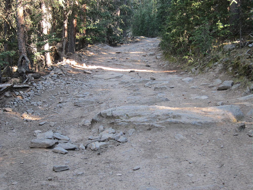
    • The road gets rougher above about 10,000 feet, with large rocks in a few spots

    • There was a tree blocking the road about a mile below the end when I was there – some 4WD drivers were able to go up and around it – steep, serious detour!
    • The road isn’t steep, so it’s an easy hike – but it’s so gentle that it’s inefficient
    • This would be an ideal MTB or motorbike climb – but listen for motor vehicles
    • From the saddle at 11,040 feet, hike southwest, up through the forest, on a small, steep path
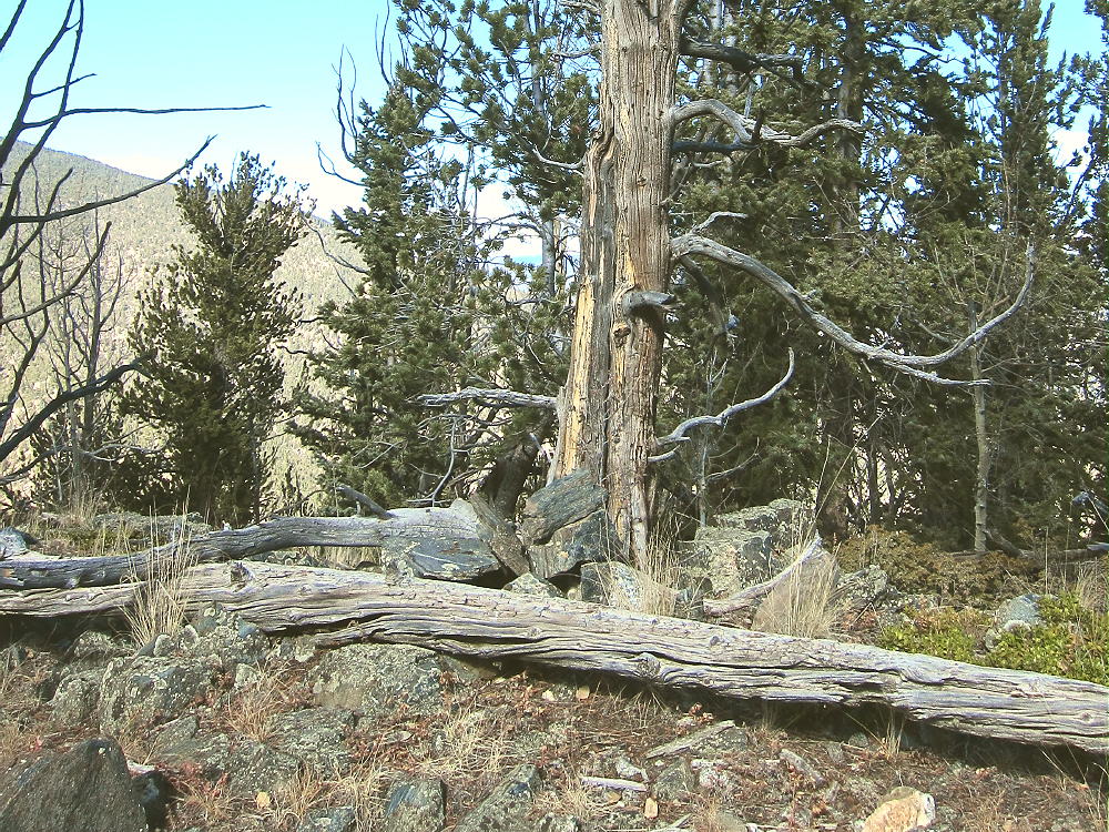
    • The path is less distinct toward the top – just follow the ridge up through the bristlecone pines and a little deadfall


    • After about 0.3 mile and over 500 vertical feet, the rocky summit appears

    Additional Details:

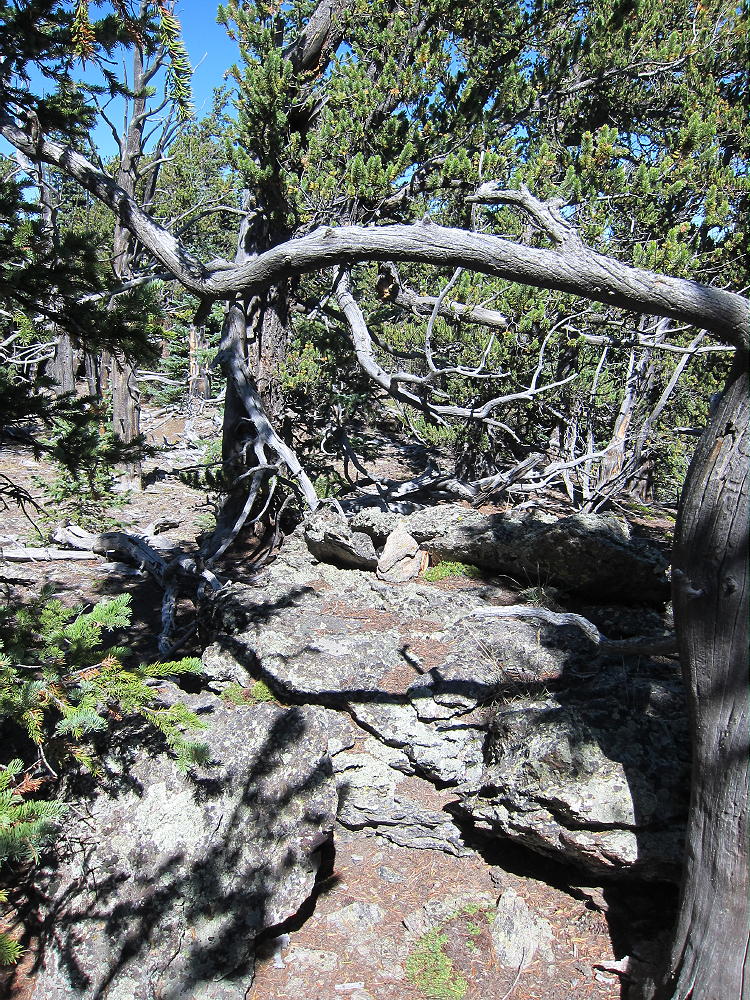
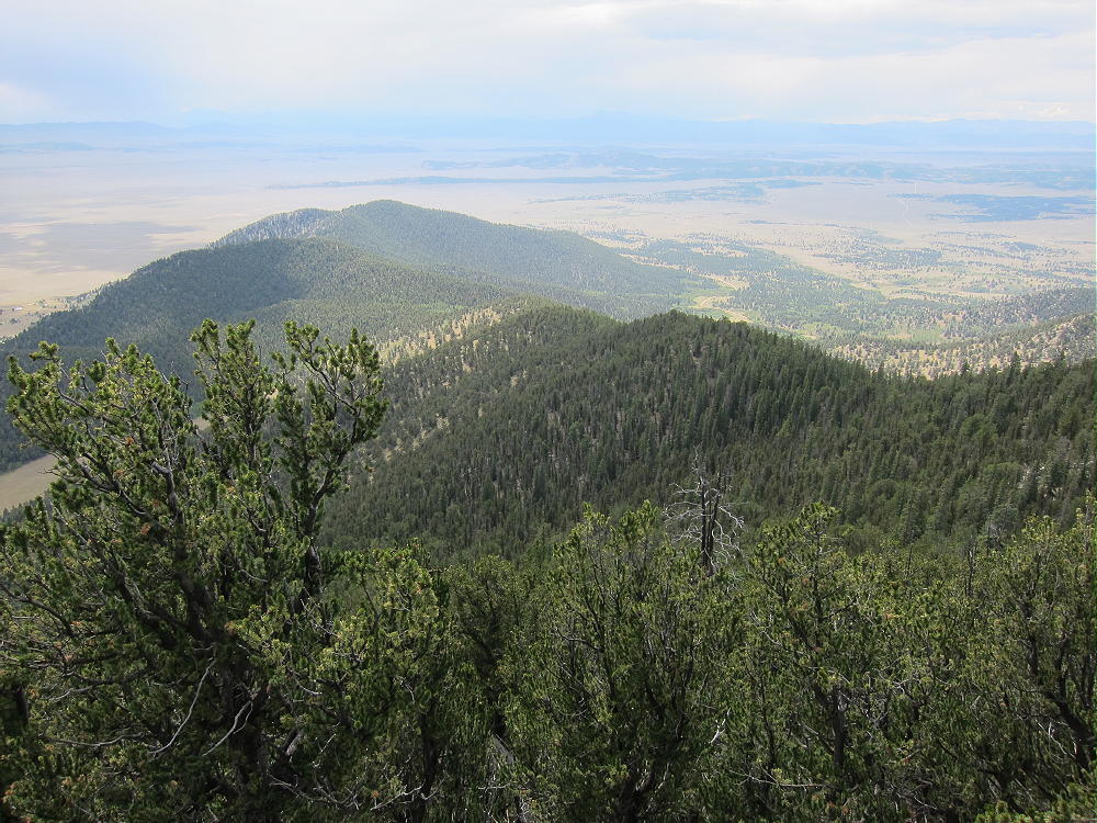
    Puma Peak is heavily forested with bristlecone pine trees. Views across South Park are spectacular but limited by the trees. You can look down at Eagle Rock W0C/SP-113 and Observatory Rock W0C/SP-102 far below, and much of South Park and other mountains far to the west.

    I set up my radio gear just east of the summit, because of rocks and deadfall on the peak. There’s plenty of room to set up among the trees.

    Puma Peak is a fine SOTA peak. It’s prominent in all directions, and no higher mountains block HF skip signals significantly. The site has very low noise – there’s no development near the mountain. The peak is probably an OK VHF/UHF site, with coverage limited to the northern part of South Park.

    This peak can be combined with nearby Burntop W0C/SP-074 for a dual activation.

    Thanks to WG0AT Steve for his First Activation of Puma Peak!

    Which Summit is the Peak?

    Puma Peak has a sister summit about ¼ mile along the ridge to the southwest. This peak’s elevation is similar to that of the designated SOTA peak. The SOTA location of Puma Peak on Google Maps agrees with the location of the red balloon summit shown by Lists of John – both show the northeastern peak as the summit. This location is 39.1572, -105.5815. The SOTA elevation is given as 3527m, or 11570 ft.

    The problem is that the USGS topography on the 7.5 minute quadrangle (Farnum Peak quad) clearly shows the southwestern peak at 11570 feet and the northeastern peak at 11550 feet; the printed numerical elevations for both peaks agree with the contour line data. I looked at the digital version of Farnum Peak quad on the USGS site, and the mapped topography indicates that the southwest summit is the peak. It isn’t clear why this discrepancy exists.

    When I climbed the mountain, I first hiked out to the southwestern summit. I ran my GPS track out and back, and I recorded waypoints on both summits and the saddle. My GPS has a barometric altimeter which tends to stabilize the GPS altitude measurements. The various altitude measurements along the track strongly suggest – but don’t confirm – that the northeast peak is the real SOTA peak.

    Without more accurate instruments, there’s no way to verify which summit is higher. In their book “Colorado’s Lost Creek Wilderness”, Gerry and Jennifer Roach say that they made careful checks with a hand level and determined that the northeast summit is the real peak.  That’s pretty solid.

    Unfortunately the saddle between the peaks appears to be too low for both peaks to share the Activation Zone – my GPS data shows the saddle almost 100 feet below the northeast peak. The USGS map has it even lower.

    After I ran my GPS track out to the southwestern sub-peak and back, I did my activation on the northeastern summit.

    Be aware of hunters in the fall – wear bright orange.

    73

    George
    KX0R


    ATTENTION !! WARNING !! There are old mountaineers, and bold mountaineers… there are no old-bold mountaineers. Hiking and mountain climbing are potentially hazardous activities particularly in Colorado with its extreme elevations. I am not accepting responsibility for any death or injury resulting from activations based on my trip reports. Proper training, experience, and personal capability assessment is required – enjoy!
  • W0C/SP-071 (Schoolmarm Mountain) – 3454 m / 11332 ft

    W0C/SP-071
    Schoolmarm Mountain
    3454 m / 11332 ft
    Aug 22, 2016

    By KX0R

    Schoolmarm Mountain is a fun sub-alpine SOTA peak in the west-central Puma Hills, on the east side of South Park.

    Key Points:

    Pike National Forest
    • Closed logging road ascends most of the way
    • Relatively short off-trail climb to peak
    • Prominent summit
    • Fine HF site
    • 2.6 miles round-trip
    • 1200 vertical feet

    Driving Directions:

    • Drive west on Highway 285, across Kenosha Pass, to Jefferson
    • Turn south on Highway 77, and go about 16 miles to Tarryall Reservoir
    • Just past Tarryall Reservoir, turn right, west, on CR 23
    • CR 23 is mostly a pretty good 2WD dirt road, with some bumpy sections and washboarding
    • A detailed map is essential for the rest of the drive. Google maps doesn’t include some of the relevant forest roads and other details.
    • The Pike National Forest map is very useful
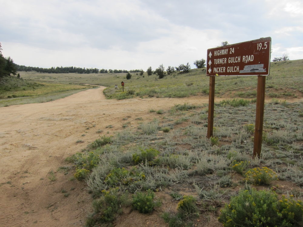
    • Follow CR 23 generally west several miles, around several bends, and past a few splits, until it eventually leads south around the western base of the Puma Hills. This road is called Turner Gulch Road, CR 23, even though it’s slightly west of the actual Turner Gulch Road FR-145.  Don’t drive into Packer Gulch:

    • Drive south on CR 23 for about 6 miles from the fork where FR-146 goes northwest toward Eagle Rock, etc.
    • Turn left, east, on marked FR-237
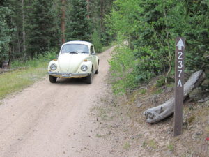
    FR-237 is an OK, lumpy, narrow 2WD road if it’s dry – at least medium clearance is needed for this part of the trip; there are humps.
    • Drive up FR-237 about one mile from CR 23 to a fork.
    • At the fork go right, southeast, on FR-237A, into the upper part of Turner Gulch


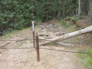
    • Ascend about ½ mile up FR-237A to the gated end of the road
    • Park here – this is the “trailhead”, but it’s not so marked.

    *** CR 23 can also be accessed easily from Highway 24 ***

    The Climb:

    • Hike up the closed road behind the gate
    • Not far up from the gate at the trailhead there’s a fork, and a road leads left, up a hill, and off to the east
    • Stay on the road leading south up Turner Gulch
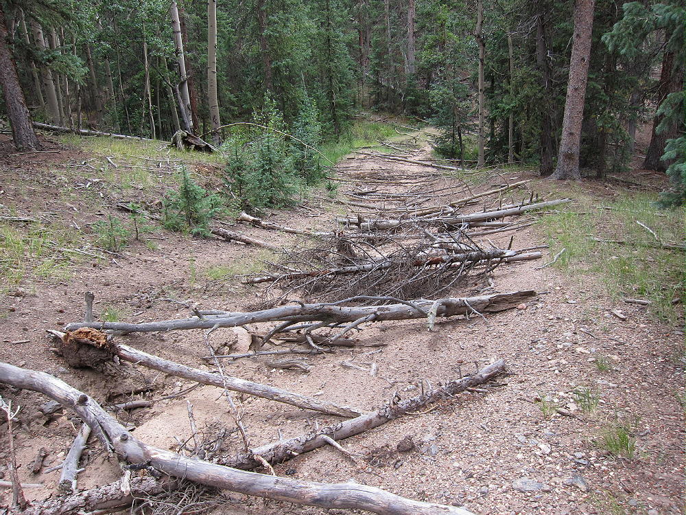
    • Unfortunately for hikers, the USFS wants this road permanently closed to vehicles, so they have spread hundreds of old tree trunks across the road for at least ¼ mile up.

    • In some parts it’s easier to hike along the road than on it.
    • Eventually the route is mostly clear of obstacles, and hiking becomes more efficient


    • The road ends at a large cleared area.
    • Continue climbing up the hill on game trails, through relatively open sub-alpine forest, to a saddle at 11,000 feet.
    • Hike steeply southwest from the saddle for about ¼ mile and 330 vertical feet to the summit of Schoolmarm Mountain.  Most of the route is along an old trail up the partly-forested ridge.

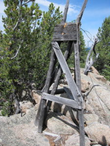
    • An intact triangulation station from 1953 stands on the rocky peak
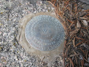
    • The related USCGS Benchmark is beneath the wooden station

    Additional Details:

    Thanks to Steve WG0AT for his earlier SOTA activations of Schoolmarm!

    A little rain shower started when I reached the top, and I found some shelter under a tree. I set up my radio gear slightly southeast of the peak. There’s plenty of room to set up near the rocky summit. You could even set up right by the triangulation station – just be careful of the steel guy wires!

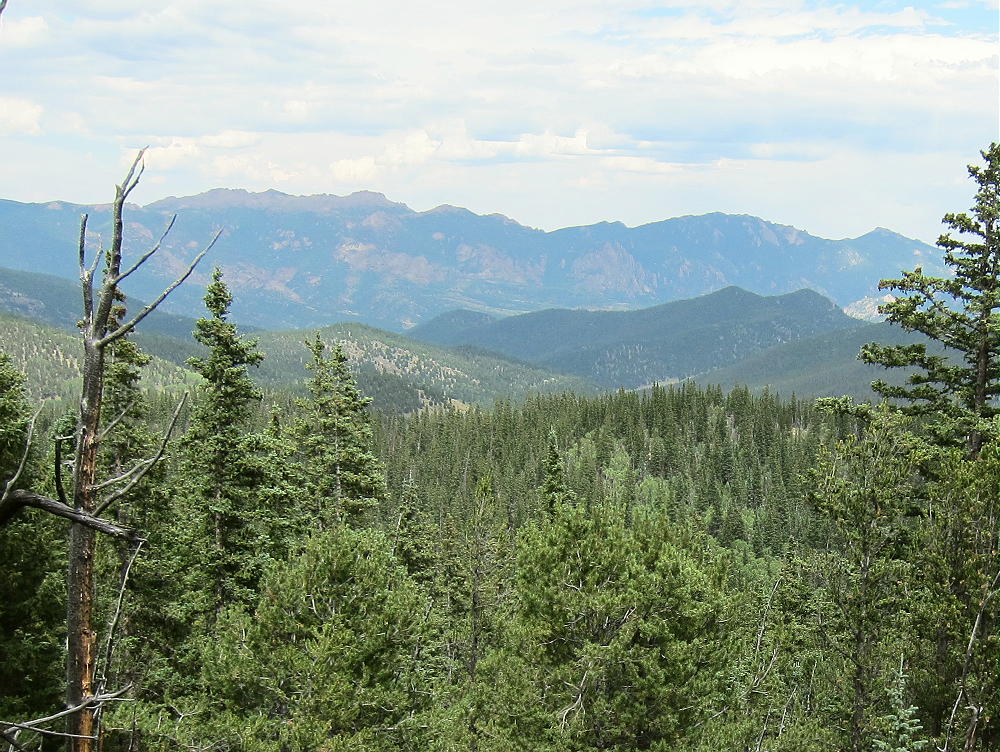
    The views from the actual summit are somewhat limited by the bristlecone pines, but what you can see is still awesome – South Park, the Collegiate Peaks, the Divide, etc. There’s a special rocky spot just south of the summit with excellent views.

    Schoolmarm is a fine SOTA peak. It’s prominent in all directions, and no higher mountains block HF skip signals significantly. The site has very low noise – there’s no development on the mountain. The peak is probably an OK VHF/UHF site, with coverage limited to areas of South Park.

    This mountain can be combined with several nearby SOTA peaks for a dual activation:

    Puma Peak W0C/SP-065
    Burntop W0C/SP-074
    Eagle Rock W0C/SP-113
    Observatory Rock W0C/SP-102
    Badger Mountain W0C/SP-072

    Be aware of hunters in the fall – wear bright orange.

    73

    George
    KX0R


    ATTENTION !! WARNING !! There are old mountaineers, and bold mountaineers… there are no old-bold mountaineers. Hiking and mountain climbing are potentially hazardous activities particularly in Colorado with its extreme elevations. I am not accepting responsibility for any death or injury resulting from activations based on my trip reports. Proper training, experience, and personal capability assessment is required – enjoy!
  • W0C/SP-091 (10462) – 3189 m / 10462 ft

    W0C/SP-091
    10462
    3189 m / 10462 ft
    Nov 14, 2016

    By KX0R

    Peak 10462 is a fun sub-alpine SOTA peak in the Puma Hills, on the east side of South Park.

    Pike National Forest
    • Moderate climb and activation
    • Nice scenery
    • Fine HF site
    • Secret closed road most of the way
    • ~ 4.25 miles round-trip
    • ~ 1750 vertical feet

    Driving access:

    • Drive down 285, cross Kenosha Pass, and continue to Jefferson
    • Turn south on Highway 77 and drive about 16 miles to Tarryall Reservoir
    • Continue south on Highway 77 for 6.8 miles south of the Reservoir
    • Turn right, west, on tiny FR 266
    • Go SE only about 0.15 mile on this rough 2WD road
    • Park near 8800 feet
    • Google Maps are incorrect/inadequate for this area

    The climb:

    • Hike up a marked, closed old road/trail as it climbs along Gooseberry Creek
    • Continue southwest about 1.5 miles to the end of the road near 10,000 feet
    • Follow game trails up south to a saddle at 10,300 feet, east of 10462
    • Hike west up the ridge to the summit

    Additional Details:

    The closed road provides a superb access to this pleasant SOTA peak. It’s “secret”, because it’s not shown on the Pike National Forest map, nor does it have a marked “trailhead”. It has no posted number, and its only marking is that it’s closed to motor vehicles. There’s convenient parking where the closed road forks off FR 266.

    The old road climbs steeply and efficiently up the Gooseberry Creek drainage, through conifers and aspen groves, to the end at about 10,000 feet. Most of the road is visible on the Google satellite images at high magnification – that’s how I found it!

    The climb from the end of the road to the saddle near the summit is only about ¼ mile. There are some subtle game trails leading up to the saddle between 10462 and its eastern sub-peak. The last 150 vertical feet up to the peak is a short, pleasant hike up the east ridge of 10462.

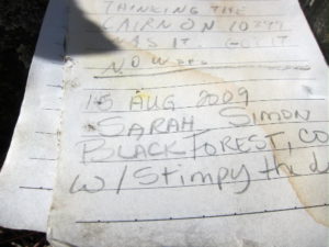
    The pointed summit is small but nice; a few rocks holding a register in a jar mark the peak.  The jar contains the signature of famous Colorado Summitpost author Sarah Simon!  Here’s her report on UN 10462.  She likes 10462 as much as I do.

    A small prospect hole has been dug into the rocks on the northeast corner of the top. The day I was there, it was a windy day, so I set up in a sunny spot southeast of the peak.

    10462 is an almost ideal SOTA peak. It’s prominent in all directions, and no close peaks block HF propagation significantly. Little development is nearby, and the noise level is very low. Views are limited by trees, but the vista east into the Lost Creek Wilderness is impressive.

    Pikes Peak stands far to the southeast, to the right of the eastern sub-peak.

    It’s possible that 10462 is accessible from Weber Park, south of the peak. Most of that area is private land, and I have no information about access to the National Forest land leading up to 10462 from the south side.

    Peak 10462 could easily be combined with another SOTA peak for a dual activation – possibilities include:

    W0C/SP-113 Eagle Rock                      Short, steep, close by
    W0C/SP-078 10874                            Short, steep, rough road
    W0C/SP-072 Badger Mountain             Moderate with 4WD
    W0C/FR-066 Tappan Mountain             Easy, quick
    W0C/FR-038 South Tarryall Peak         Long, hard, close by

    etc.

    Be aware of possible hunters in the fall – wear bright orange.

    Geology Comments:

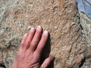
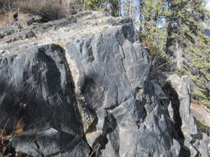
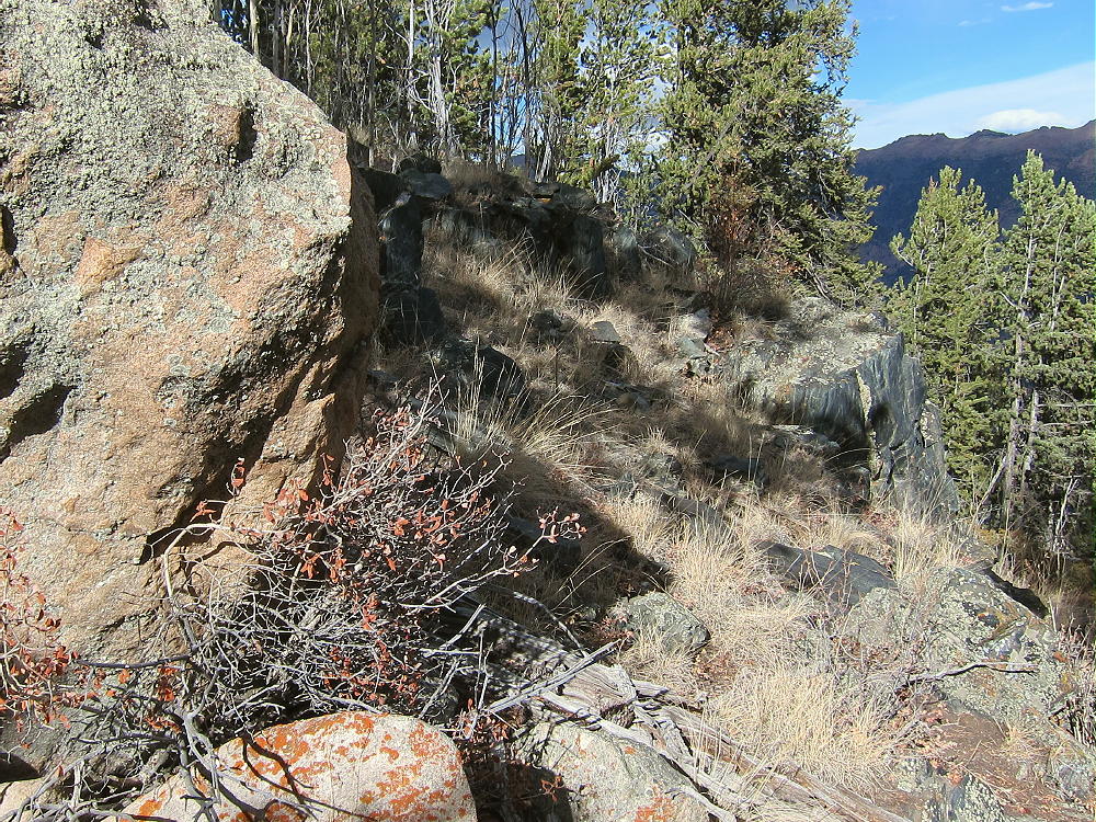
    The summit hill of 10462 has an interesting mix of ancient pre-Cambrain rocks.

    On the south side, massive orange granite forms large rounded boulders in a continuous exposure.

    On the north side, dark gray gneiss shows an equally massive and continuous exposure right along-side the granite.

    The route to the top from the saddle runs right up along the contact between the two strikingly different rocks; it’s hard to miss this conjunction of these two very different ancient rock types.

    73

    George
    KX0R


    ATTENTION !! WARNING !! There are old mountaineers, and bold mountaineers… there are no old-bold mountaineers. Hiking and mountain climbing are potentially hazardous activities particularly in Colorado with its extreme elevations. I am not accepting responsibility for any death or injury resulting from activations based on my trip reports. Proper training, experience, and personal capability assessment is required – enjoy!
  • W0C/SP-111 (9889) – 3014 m / 9889 ft

    W0C/SP-111
    9889
    3014 m / 9889 ft
    First Activation
    Sep 9, 2016

    By KX0R

    9889 is a slightly challenging SOTA peak in the southern Puma Hills, several miles east of Eleven Mile Reservoir.

    Pike National Forest
    • Access via forest roads
    • No marked trail or trailhead
    • Secret closed road leads most of the way
    • Some off-trail hiking near the top
    • Seldom visited
    • Fine SOTA peak
    • ~ 2.2 miles round trip
    • ~ 800 vertical feet

    Driving Directions:

    • Drive to Lake George via Highway 24
    • Continue north 0.8 mile, and turn left, west on CR 90
    • Follow CR90 almost 4 miles, and turn left, southwest, on CR 92
    • Climb up CR 92 into the Puma Hills for about 2 miles
    • At a pass or saddle at 9040 feet, the second high point on this road, turn left, southeast, onto FR 246
    • FR 246 is a good, humpy 2WD road requiring more clearance than some cars allow
    • Drive FR 246 southeast for about one mile, past several dispersed campsites, to a large campsite located near a saddle in the road, on the north side of the road, with an obvious conical hill about 200 feet high on the north side. This is the only campsite in the immediate area with a big hill right behind it.
    • The Google Map coordinates are 38.945715, -105.459343
    • Park at or near this campsite. This is the “trailhead”. I camped there, and it was great!
    The Hike:

    • From the campsite above, walk west along FR-246 for about 100 feet.
    • On the south side of FR-246, find a closed road with a pile of big rocks blocking access. You can see this junction on the Google satellite image.
    • The old road is closed to motor vehicles but not to hikers. This route is not shown on most maps, including Pike NF and Google maps.
    • This route is shown clearly on the Google satellite image, which is where I found it. At high magnification the entire trail is visible running through the forest.
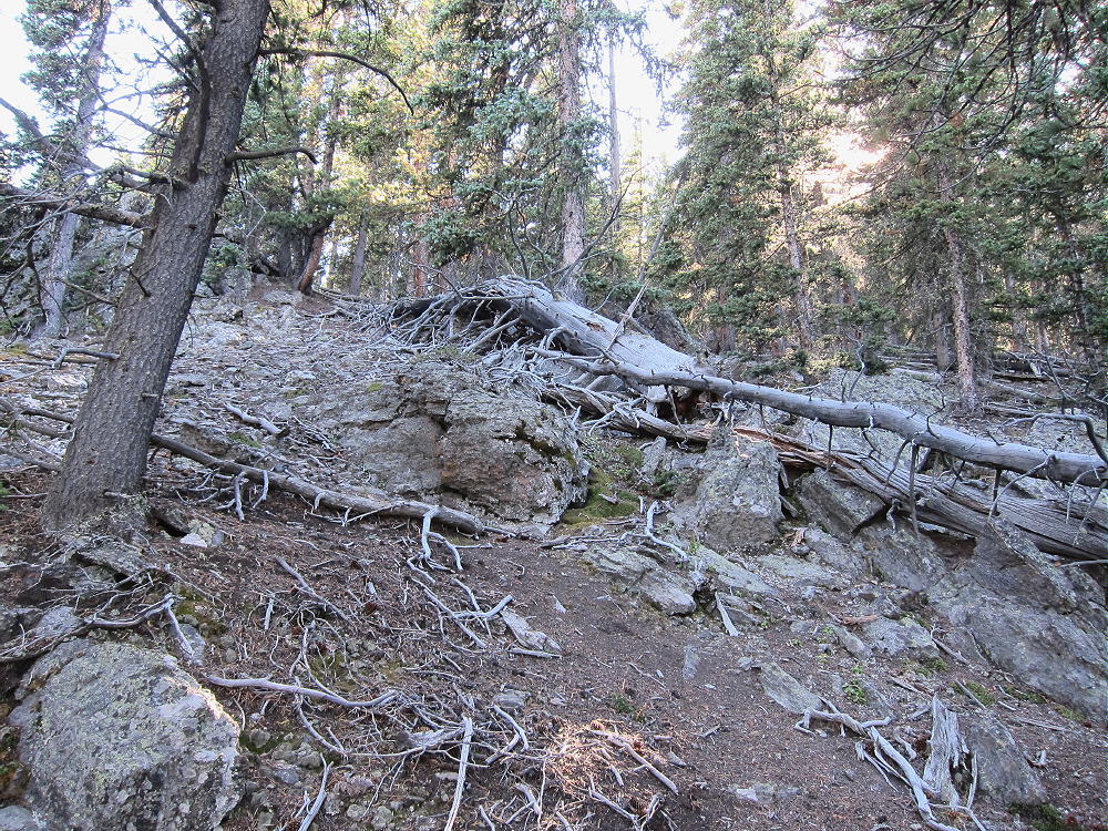
    • Hike southeast up the closed road as far as it goes. It’s not maintained, and there’s significant deadfall and erosion.

    • This convenient secret trail climbs steeply and efficiently toward Peak 9889. It ends at about 9500 feet, about 1/3 mile from the summit.
    • Continue south on a game trail leading up the slope from the end of the road – stay on the north side of the draw.
    • After about ¼ mile, come to a saddle at about 9700 feet.
    • The saddle is between Peak 9889 to the southeast, and its twin sister to the northwest, at almost the same elevation,.
    • Make certain to ascend the peak southeast of the saddle!
    • Hike up less than 0.2 mile, through easy open woods, to the rocky summit.

    Details:

    The Pike National Forest Map is useful for planning a hike to 9889; it shows roads CR 90, CR 92, and FR-246.

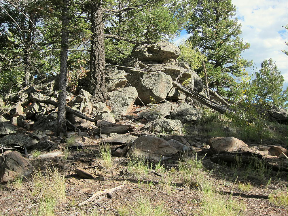
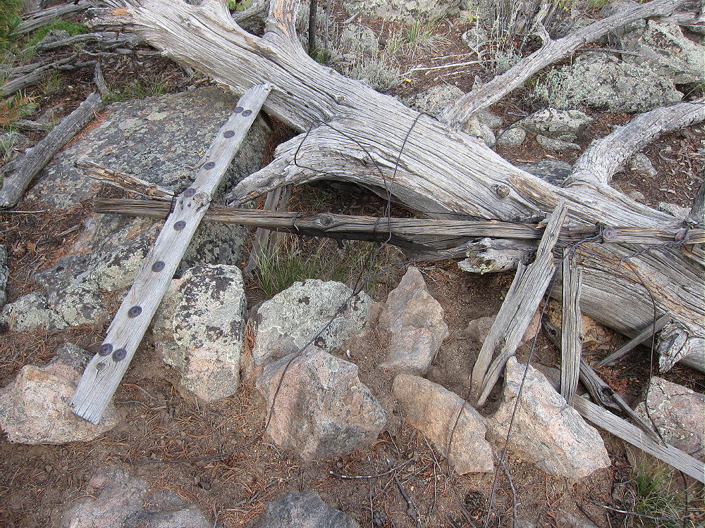
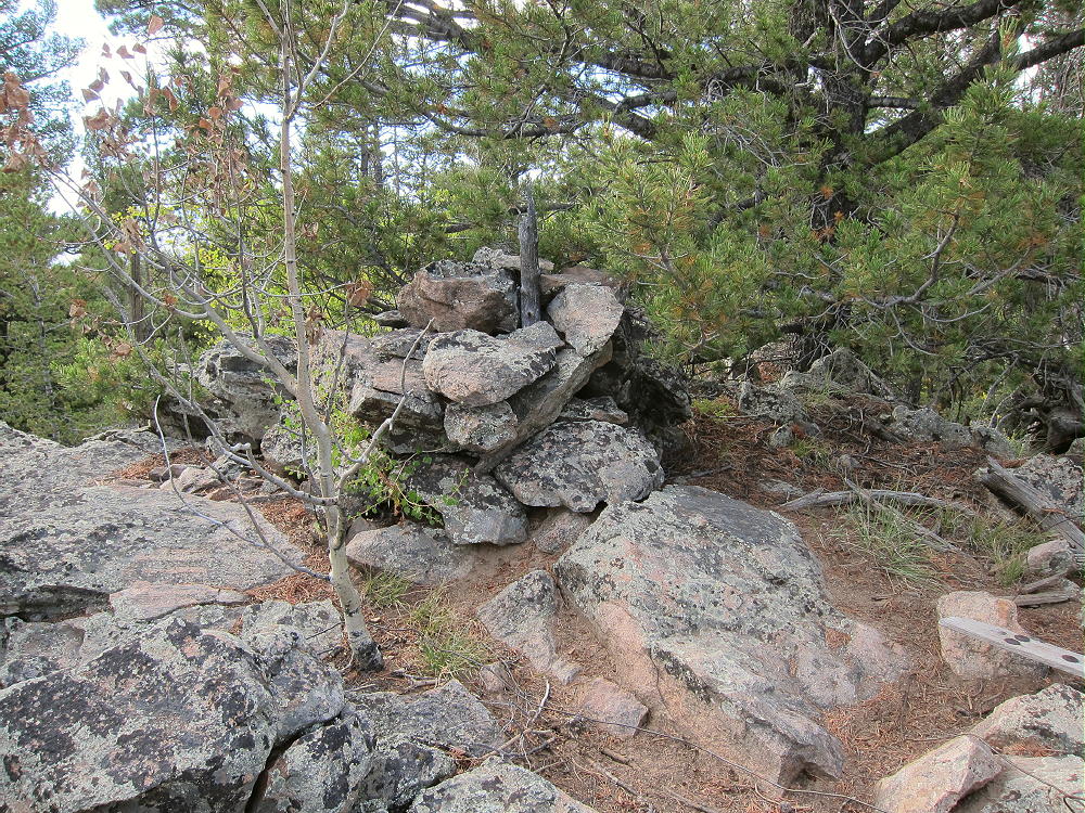
    The top of prominent Peak 9889 is a small rock formation with trees on it. The remains of a triangulation station lie near the peak – boards, wires, etc. There’s a cairn, maybe with a register-jar inside it, on the top. There’s little evidence of visitors. Most of the summit is forested, and views are limited.

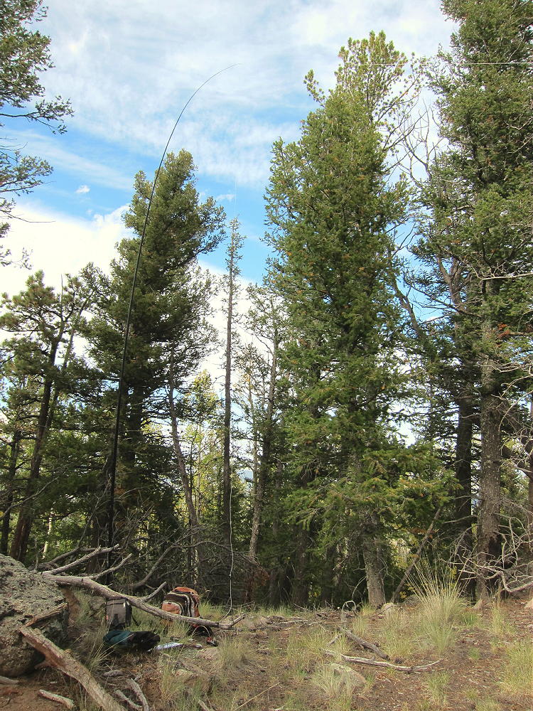
    The large activation zone extends along the ridge-top, with sheltered spots, trees for a pole, etc. I set up immediately north of the peak; I ran my wire from a pole up to a tree at the summit rocks.

    The land falls away on the east side of the summit – it’s possible to see down into Eleven Mile Canyon.

    There’s no development on the mountain, and the RF noise level is very low. This is a fine HF site! There are no close summits to block skip signals. This site has some VHF/UHF coverage of South Park, including around Hartsel, near Elevenmile Reservoir, near Lake George, Divide, and the country northwest of Pikes Peak.

    It might be possible to activate Peak 9889 in the same day as another local summit. Possibilities include:

    W0C/SP-079 Stoll Mountain
    W0C/SP-092 The Pulverizer
    W0C/SP-123 Blue Mountain
    W0C/SP-072 Badger Mountain
    W0C/SP-121 Sulphur Mountain
    W0C/SP-118 Spinney Mountain
    W0C/FR-165 Signal Butte
    W0C/SP-091 10462
    W0C/FR-038 South Tarryall Peak
    W0C/SP-071 Schoolmarm Mountain
    W0C/SP-113 Eagle Rock
    W0C/SP-102 Observatory Rock
    W0C/SP-065 Puma Peak
    W0C/SP-074 Burntop
    W0C/FR-066 Tappan Mountain
    W0C/SP-124 9083
    W0C/SP-125 9036
    Etc.

    This area is popular with hunters – there were bow hunters in the area when I was there. Wear bright color – be cautious.

    73

    George
    KX0R


    ATTENTION !! WARNING !! There are old mountaineers, and bold mountaineers… there are no old-bold mountaineers. Hiking and mountain climbing are potentially hazardous activities particularly in Colorado with its extreme elevations. I am not accepting responsibility for any death or injury resulting from activations based on my trip reports. Proper training, experience, and personal capability assessment is required – enjoy!