SOTA outings by KØMOS and contributors

Category: WØC

SOTA (Summits on the Air) trip reports in W0 land with pictures and videos by K0MOS. Amateur radio mountain topping.

  • WØC/SR-153 (Sheep Mountain) – 3380 m / 11089 ft

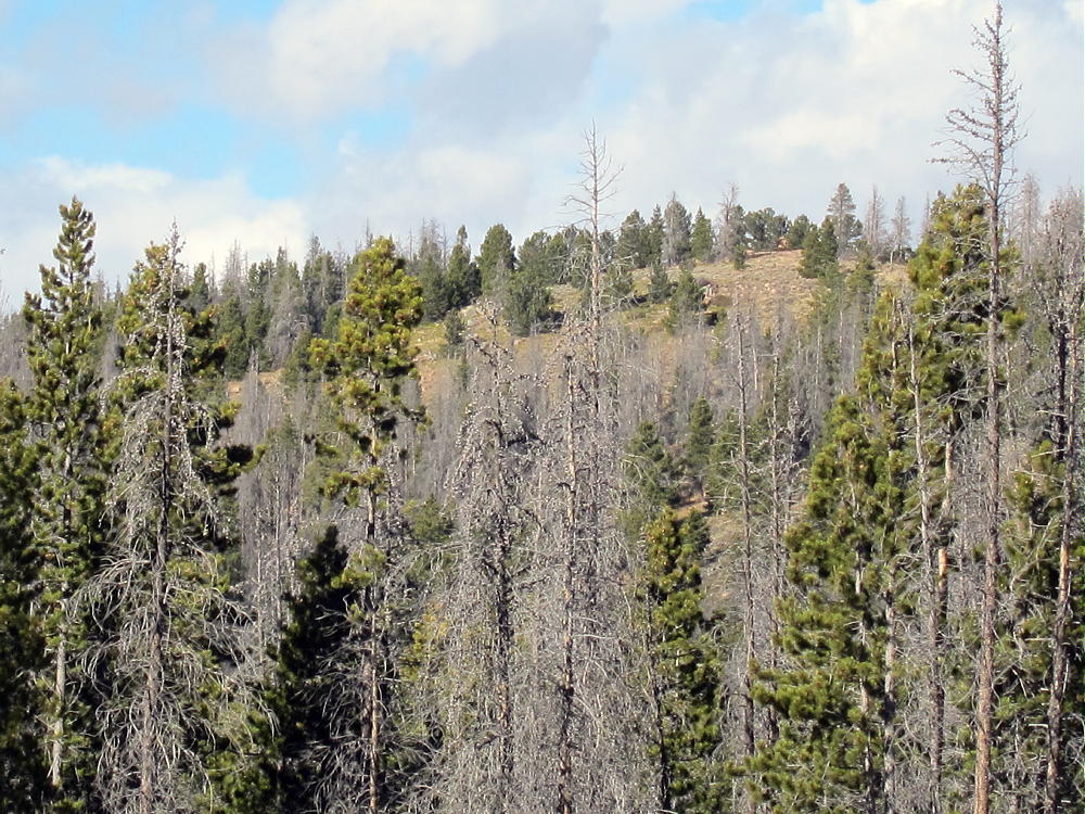
    Sheep Mountain is an rarely visited mountain in White River National Forest, approximately a half mile bushwhack from the nearest road.

    The first thing worth noting is that both Google Maps and COTREX have the marker for this mountain very much not on top of a mountain. The latitude \ longitude from the SOTA database is the correct one – approximately 1.2 miles South and 1600 feet above the marker.

    To get to Sheep Mountain, take I-70 to Silverthorne and head North on CO-9. Once you pass the reservoir, you’ll go by the turn off for Williams Peak Road on your right, and hang a left onto County Highway 10. Take this back a while, until you see a sign indicating Dice Hill to your right, and National Forest land straight ahead. Continue straight past this sign, onto BLM2773. At the border of the National Forest, there will be a bunch of information signs and various admonishments. Veer right on FS23.1, which quickly climbs uphill. Take this back almost 3 miles. I parked at 39.87308N 106.43094W – there was a convenient pull-off on the right with an open field that heads up Sheep Mountain:
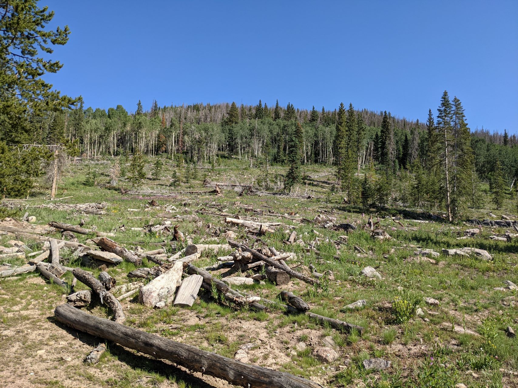
    If you encounter a split in the road with FS1834.1 off to the left and FS202.1 continuing straight, you’ve gone too far.

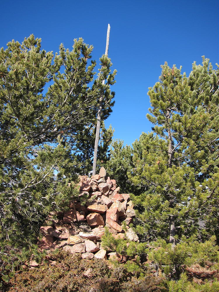
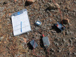
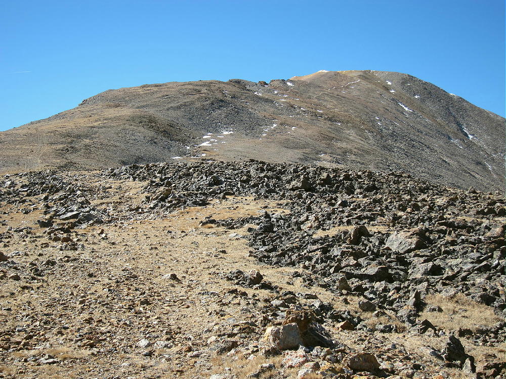
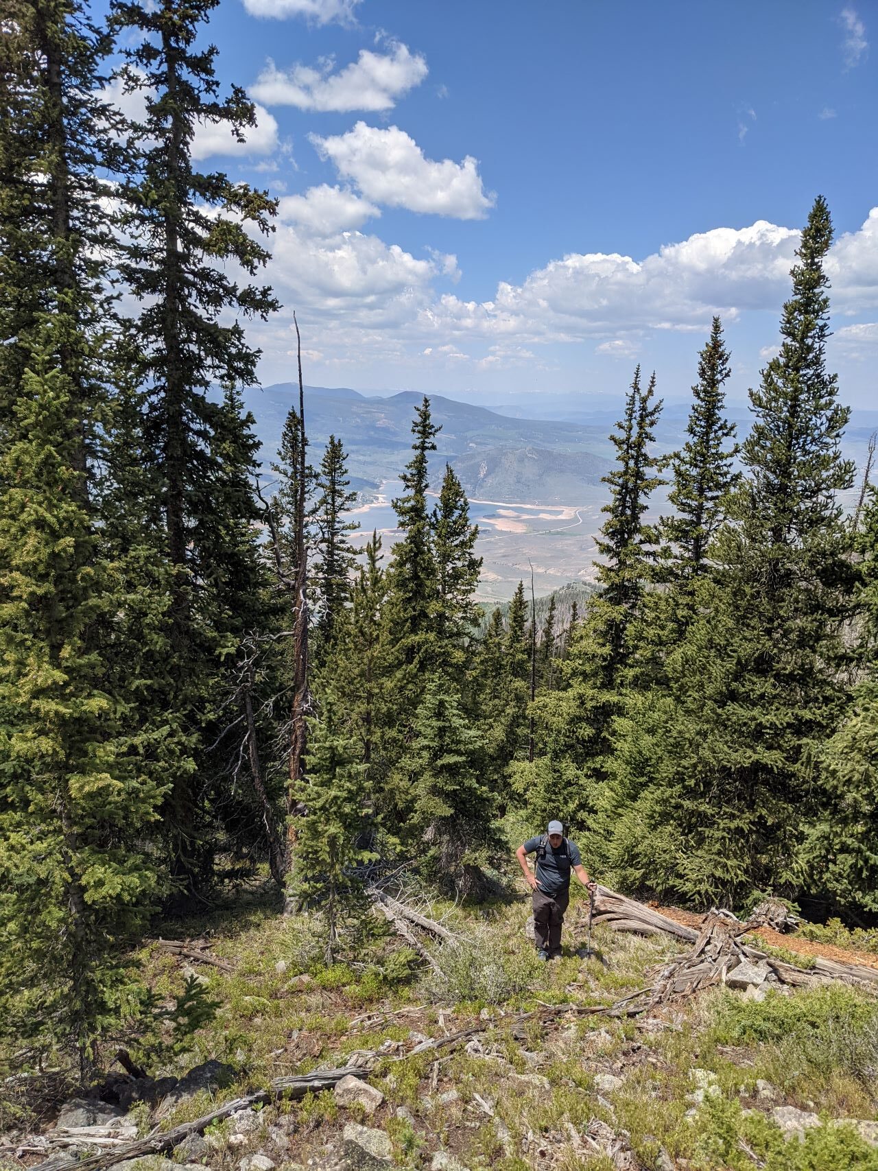
    From here, it’s a pick-your-own-adventure bushwhack up to the top. I crossed the field and aimed for the what looked like a ridge on the left (West). This wasn’t a good choice – there were long rocky segments, tons of downed trees, and and waist-high grass hiding ankle deep mud. Regardless, I made it to the top. Having not seen any cars, or signs of people, since the National Forest boundary, I was somewhat surprised to see some gear with a solar panel and antenna on top of the mountain:
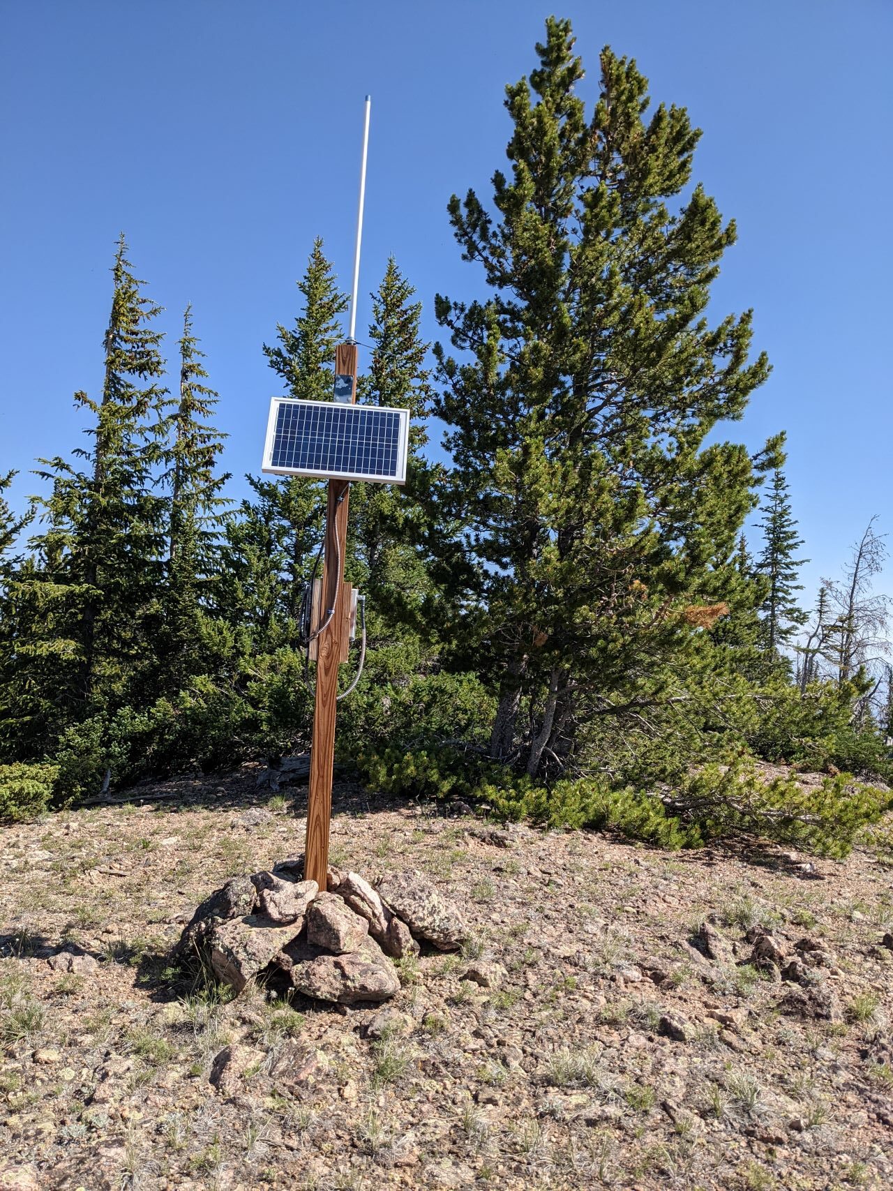
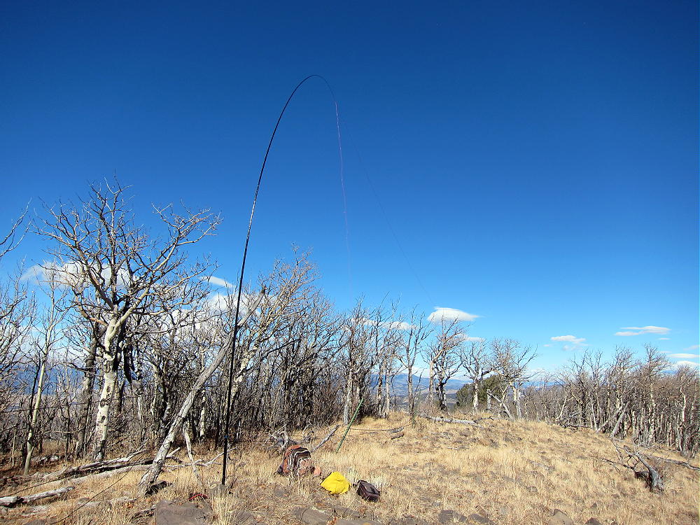
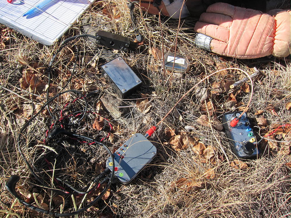
    The summit has some low (5′) trees that I threw a random wire over. There were also a couple logs and rocks that a pole could be guyed to. The weather on top was lovely, and I spent an hour or so working the radio. I tested out a newly-added GPS to my portable FT8 setup, got a couple QSOs that way, then hunted for P2P and S2S. My phone showed plenty of bars, but data service was non-existent.

    As far as VHF goes, I was able to intermittently hear a couple activators on the other side of continental divide on 2m, but didn’t manage to get through to them.
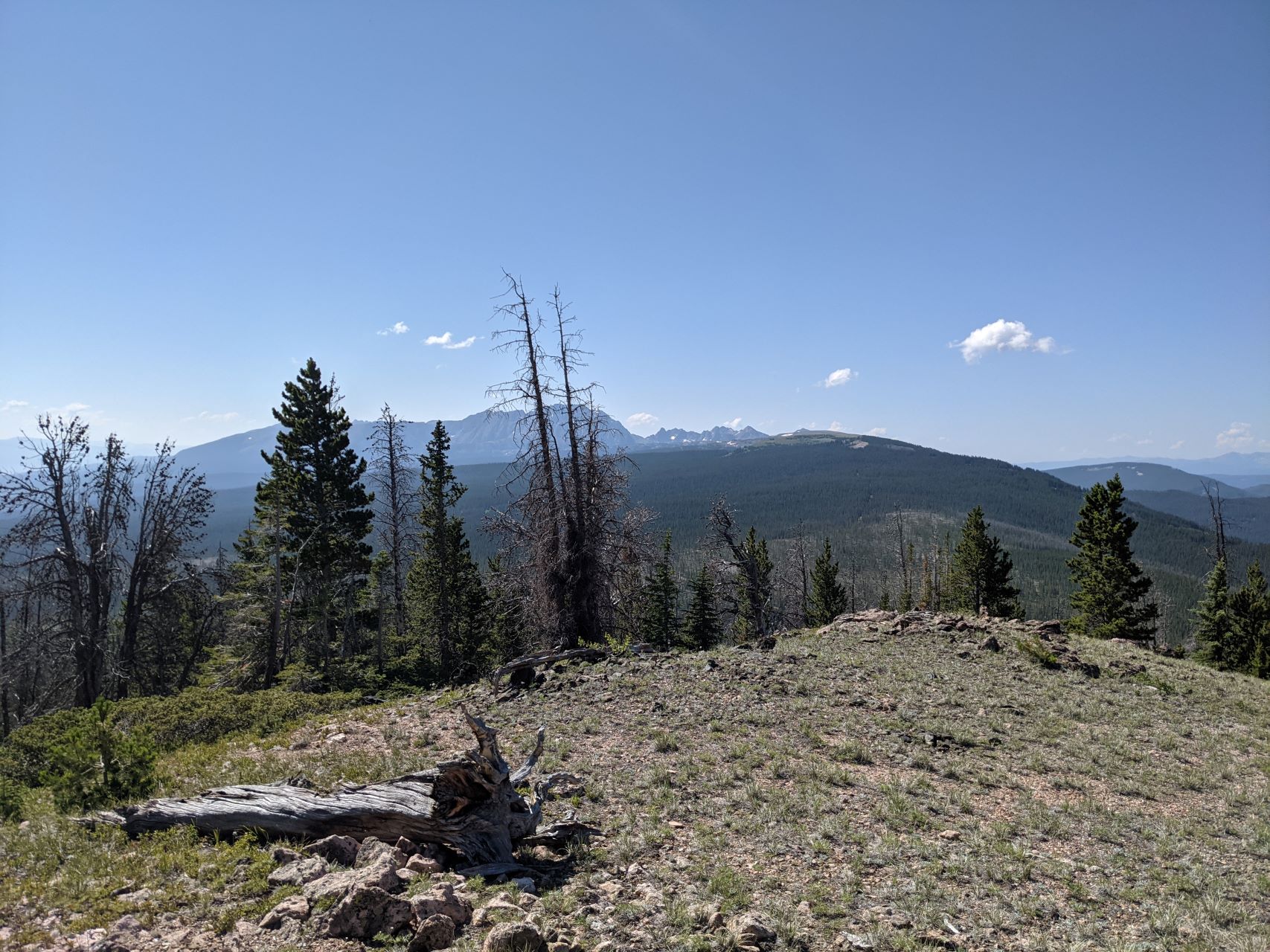
    On the way down, I stayed more to the East, and emerged at the Eastern edge of the clearing that I parked by. This was significantly less rocky and muddy compared to the way up. Back in your car, you can retrace your steps, or continue further along the forest service road towards Cottonwood Peak and Piney Peak. The road quickly gets worse in that direction, and I would strongly recommend only attempting this with a high-clearance 4WD vehicle. I was planning on attempting to activate one of them, but time and weather ended up forcing me to leave them for another day.

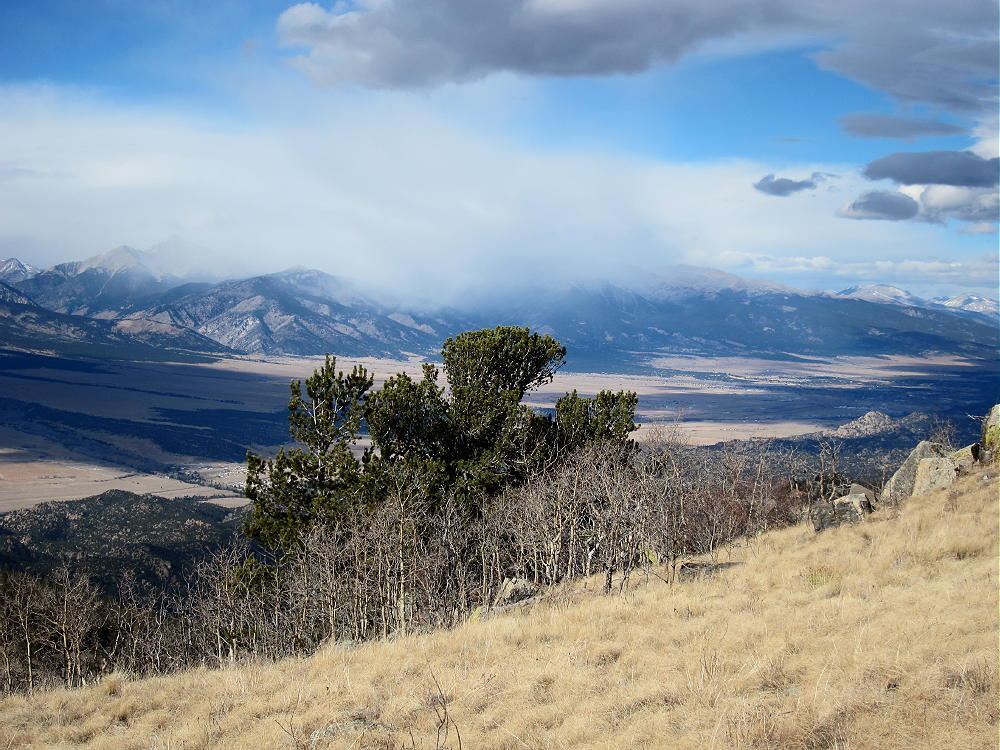
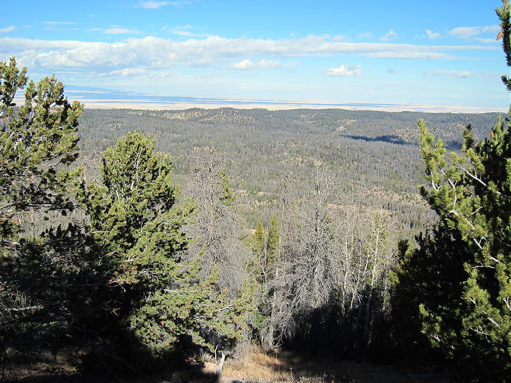
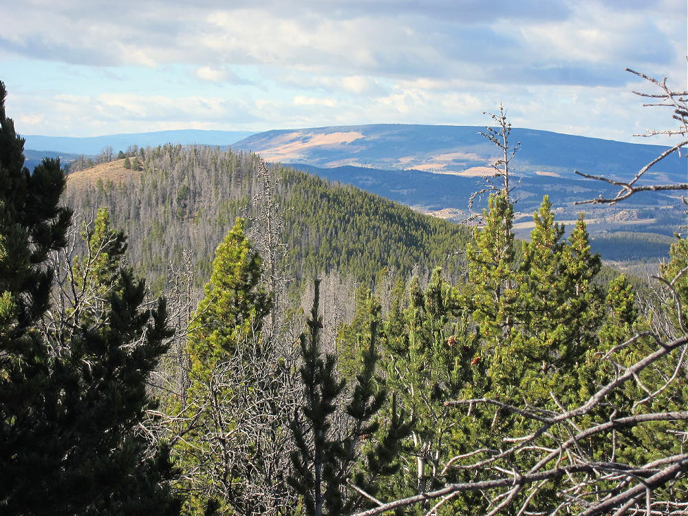
    This was slightly harder to get to than Dice Hill, but significantly more scenic, and could be easily combined with any of the other summits in the area.


    ATTENTION !! WARNING !! There are old mountaineers, and bold mountaineers… there are no old-bold mountaineers. Hiking and mountain climbing are potentially hazardous activities particularly in Colorado with its extreme elevations. I am not accepting responsibility for any death or injury resulting from activations based on my trip reports. Proper training, experience, and personal capability assessment is required – enjoy!
  • WØC/PR-12Ø (Dice Hill) – 3003 m / 9853 ft

    W0C/PR-120
    Dice Hill
    3003 m / 9853 ft
    First Activation: June 20, 2021
    With N0TZW

    By N3ALT

    Dice Hill is an easily accessible summit North of Silverthorne, that you can almost drive up.

    Following our activation of W0C/PR-077 (Williams Peak), Tim (N0TZW) and I headed over to Dice Hill. Taking CO-9 North from Silverthorne, past the reservoir and the turn off for W0C/PR-077, take a left on County Highway 10. This will turn into County Road 23, and then you will take a left on BLM 2750 \ County Road 1830 heading North. This starts as a paved road and turns into a very well maintained dirt road. This eventually dead-ends into a forest service parking lot, where you’ll take a right onto a narrow two track.

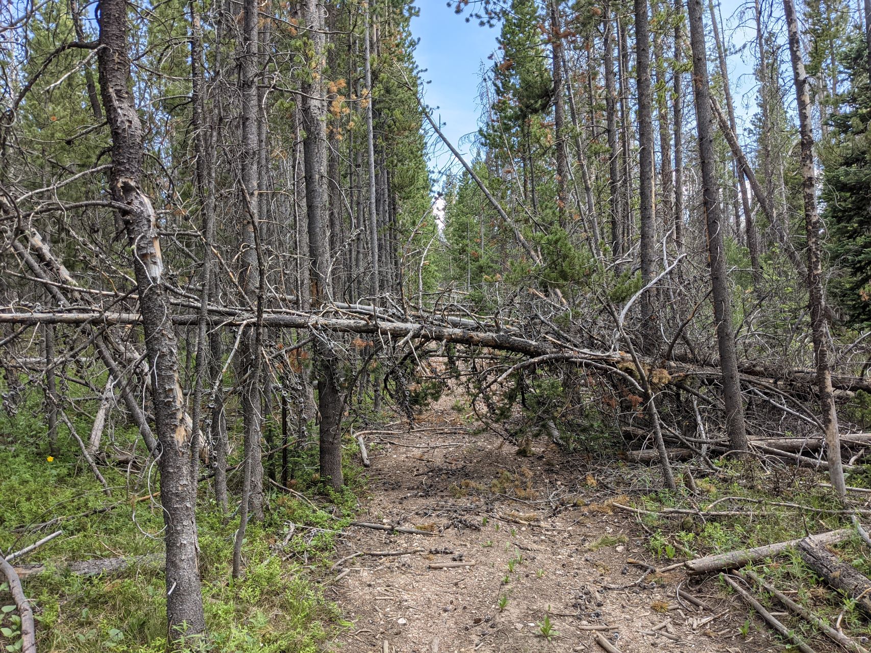
    Assuming they’re dry, all of these roads should be doable in most crossovers if you’re careful. The main requirement is your ability \ willingness to back up on a narrow road with leaves touching both your mirrors. A full-size pick-up truck would be less than ideal for this. This became especially important when we reached the end of the road prematurely:

    According to the map, you can normally drive almost to the top of the mountain. We were blocked by downed trees, and lacking a chainsaw, ended up backing out a ways until we found a reasonable pull off. Leaving the car there, we followed the two-track up the hill, zigging and zagging to avoid the downed trees.

    To the left of the road, there’s a barbed wire fence. Sometimes, the fence is hidden under a pile of fallen logs. If you cross over the fence here without realizing it, you may be further up when you need to cut right and there’s a fence in the way. In general, I would stay to the right (Western) side of the road as you climb up it.

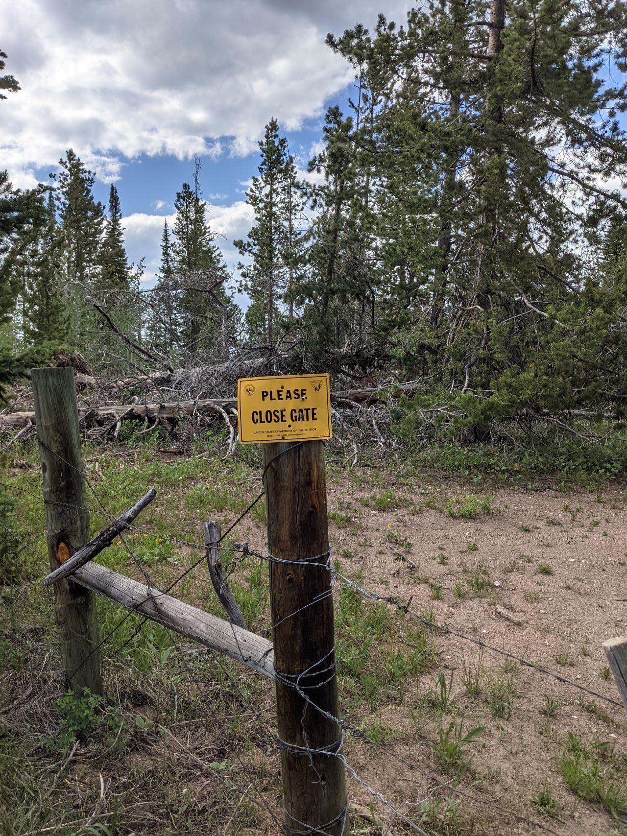
    At the top, you’ll dead end into another fence. We were initially disappointed, only to stick our head over the fence to notice a bunch of signs telling us to close the gate – there’s a wire loop right next to a tree that lets you move a chunk of fence. Make sure you close it behind you. The view coming back down the trail, with the actual “gate mechanism” off to the right of the sign:

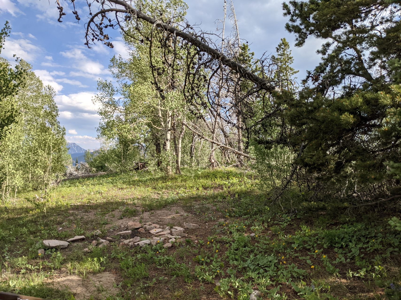
    Follow the now overgrown two-track another couple hundred feet to the top. There’s a big flat open spot, with some smallish trees, and tons of wildflowers. The views are mostly obscured by trees, but it’s a fine HF site. Like Williams Peak, I hadn’t heard any traffic on the 2m/70cm simplex calling frequencies all day, and didn’t bother trying – there are significantly taller mountains between you and where most people live.

    It was fairly late in the day at this point, so Tim & I quickly got our contacts and headed back down. Along the road, we passed several campsites that could make for some nice laid-back car-camping. Besides a first activation and 4 points, the main attraction to this mountain was that it was easy – the road the entire way up is reasonable, the hike is short and not especially steep (roughly a quarter mile and 150 feet vertical from where we found parking), and it’s a nice HF site. I wouldn’t make a return trip just for Dice Hill, but if I was activating anything else in the area would happily tack it on a nice way to close out my day.


    ATTENTION !! WARNING !! There are old mountaineers, and bold mountaineers… there are no old-bold mountaineers. Hiking and mountain climbing are potentially hazardous activities particularly in Colorado with its extreme elevations. I am not accepting responsibility for any death or injury resulting from activations based on my trip reports. Proper training, experience, and personal capability assessment is required – enjoy!
  • WØC/PR-Ø77 (Williams Peak) – 3451m / 11617ft

    W0C/PR-077
    Williams Peak
    3541 m / 11617 ft
    First Activation: June 20, 2021
    With N0TZW

    By N3ALT

    Williams Peak was a fun, rarely visited peak accessible by 4×4 trail on the border of Arapahoe and White River National Forests.

    Take I-70 to Silverthorne, then head North on CO-9 for roughly a half hour.  You’ll pass the Green Mountain Reservoir on your left, then you’ll see FS-200 (technically BLM2780 for the first bit) on your right.  There’s a gate you can open to let yourself into the parking area.

    From there, FS-200 is an “easy” off-road trail, which you should interpret as “there are no technical obstacles”.  The trail is deeply rutted, sometimes steep, and sometimes off-camber.  We saw a number of ATVs, SxSs, along with some Jeeps & pick-up trucks along it.  The road goes 2.2 miles back to the FS service boundary, then 3.75 miles to the first major intersection, with FS-200.1A.  Follow the road to the right of the parking area and continue down FS-200.

    At this point, Tim (N0TZW) and I parted ways.  He planned to drive up 200.1A to the top of W0C/PR-094, while I continued to the top of Williams Peak, and we would activate both with a summit-to-summit.  This didn’t exactly work out, as he got to the top, discovered it was covered by a swarm of black flies, and decided that it wasn’t worth it.  Presumably, the swarm isn’t year round, and is probably a side-effect of all the recent snow melt.  In any case, W0C/PR-094 is still there for the taking.  Tim returned to FS-200, and started following me over to Williams Peak, which we then both activated.

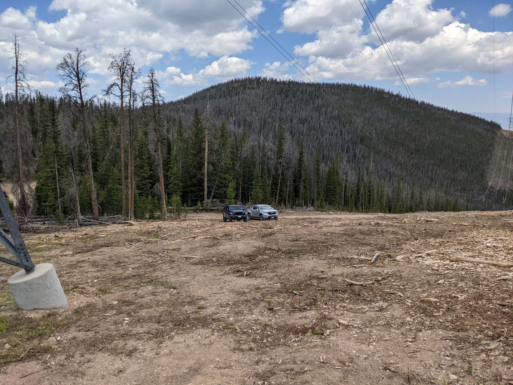
    The drive from there to Williams Peak was significantly easier.  The road was in better condition, significantly flatter along both axes, and the views over the reservoir were fantastic.  You’ll take this around 4.5 miles, at which point you’ll find a large strip cleared of trees underneath some power lines, with Williams Peak dead ahead.

    We parked under the power lines, at which point it was a straightforward, steep half-mile bushwhack up the mountain.  There’s one clear, true summit, with an old USCGS marker on top.  There was little evidence that anyone had been there recently.

    On top, there’s a decently sized activation zone, with a number of low-ish trees with plenty of branches for those of us that are not overly concerned with getting our antenna too high off the ground.  There are also plenty of loose rocks for bracing a pole.

    It was a fantastic HF summit – possibly the lowest noise environment that I’ve seen.  It was sufficiently far out that I didn’t even bother trying VHF – I had the HT on 146.52 the whole time without hearing a peep.

    On the way up, we swung around to the Southwest a bit.  We stayed a bit more North on the way down.  It was very similar difficulty-wise.  Every so often, we got a glimpse through the trees of the power lines, which made navigation back to the cars easy.

    The road continues further, eventually meeting a hiking trail that would also afford access to Williams Peak, at the cost of a 19 mile round-trip hike.  We didn’t explore this section, but instead egressed the way we came, and headed onwards to another first activation – Dice Hill (W0C/PR-120).


    ATTENTION !! WARNING !! There are old mountaineers, and bold mountaineers… there are no old-bold mountaineers. Hiking and mountain climbing are potentially hazardous activities particularly in Colorado with its extreme elevations. I am not accepting responsibility for any death or injury resulting from activations based on my trip reports. Proper training, experience, and personal capability assessment is required – enjoy!
  • WØC/FR-ØØ8 (Hagues Peak) – 4125 m / 13560 ft

    August 15th, 2020
    by Matt Schnizer

    Please refer to Carey’s/KXØR excellent trip report for details.

    Just providing some additional impressions (video clips) from my recent trip to Hagues Peak using the standard route (Lawnlake via saddle between Fairchild and Hagues). Carey took a slightly different approach from Lawnlake to the summit.

    It depicts the beauty of the Mummy Range in the Rocky Mountain National Park and some of the terrain you will encounter.

    Trailhead: 8550 ft / 2606 m
    Summit: 13560 ft / 4133
    Elev. gain: 5010 ft / 1527 m
    Roundtrip: 18 mi / 29 km


    If you would like to leave questions or comments, please do so through Youtube.


    ATTENTION !! WARNING !! There are old mountaineers, and bold mountaineers… there are no old-bold mountaineers. Hiking and mountain climbing are potentially hazardous activities particularly in Colorado with its extreme elevations. I am not accepting responsibility for any death or injury resulting from activations based on my trip reports. Proper training, experience, and personal capability assessment is required – enjoy!
  • Rocky Mountain National Park (RMNP) – Smoke Warning and Correction

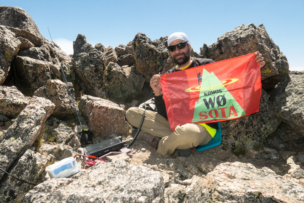
    I spent the last two weeks hiking in RMNP and of course activating some SOTA summits. As one of the highlights, I was attempting to do part of the Mummy Mania (a long day hike to climb six peaks between 12,500 and 13,500 ft (3800m-4100m).

    • Mount Chapin: 12454 ft / 3796 m
    • Mount Chiquita: 12,454 ft / 3983 m/
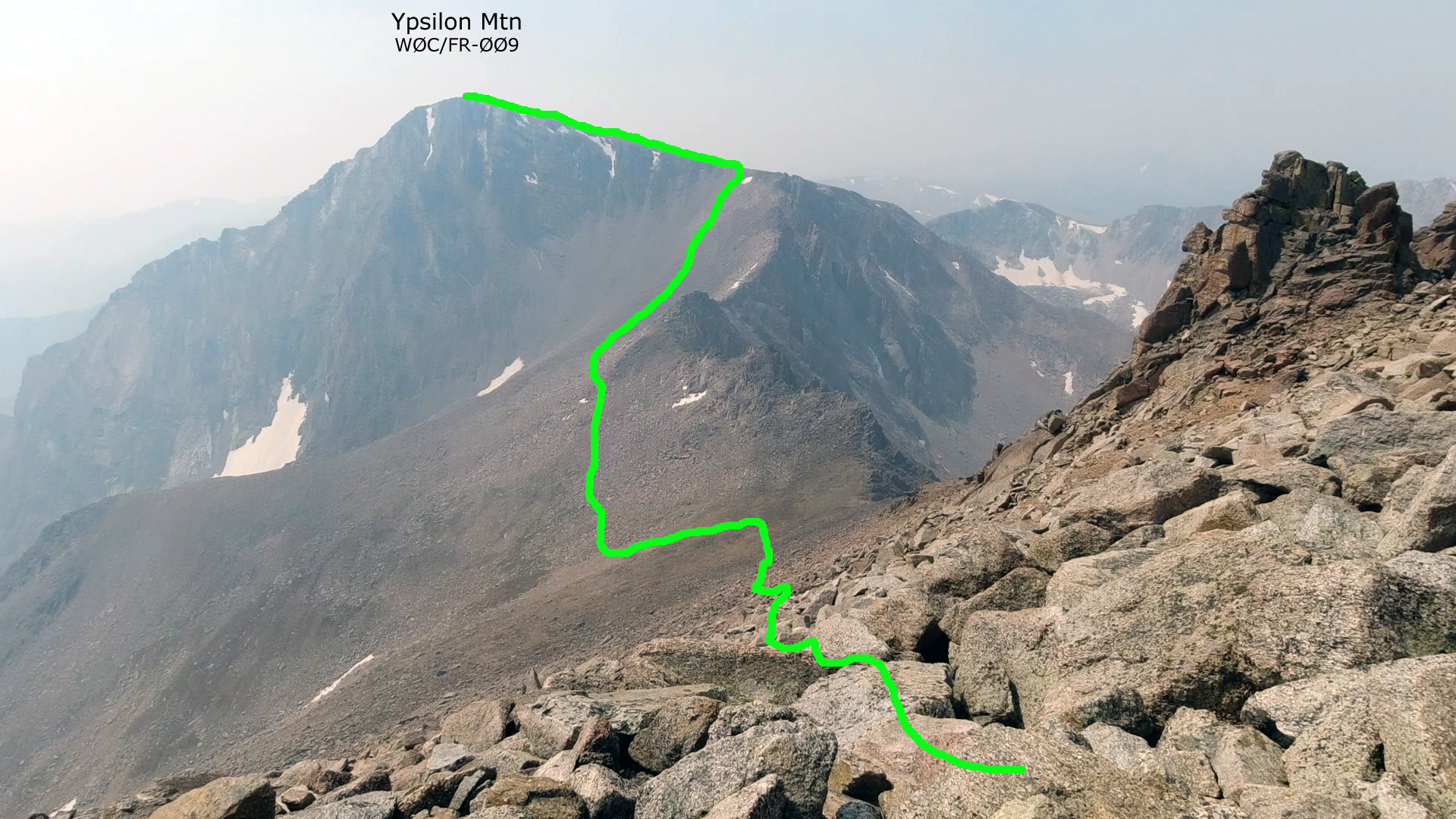
    • Ypsilon Mountain: 13,520 ft/ 4121 m
    • Fairchild Mountain: 13,508 ft / 4117 m
    • Hagues Peak: 13,560 ft / 4133 m
    • Mummy Mountain: 13,430-ft / 4,093 m

    The BOLD peaks qualify for SOTA.

    Mummy Range Overview

    ‘Killing’ all of the Mummies requires two cars (shuttle), excellent weather, strong hiking and path finding skills and stamina. The terrain varies wildly between (Class II to Class III max) and some exposure if you choose so. Trying to activate 3 summits in addition to the 15+ miles and ~7000 ft elevation gain – impossible, at least for me. So I split it up in two sections on different days.

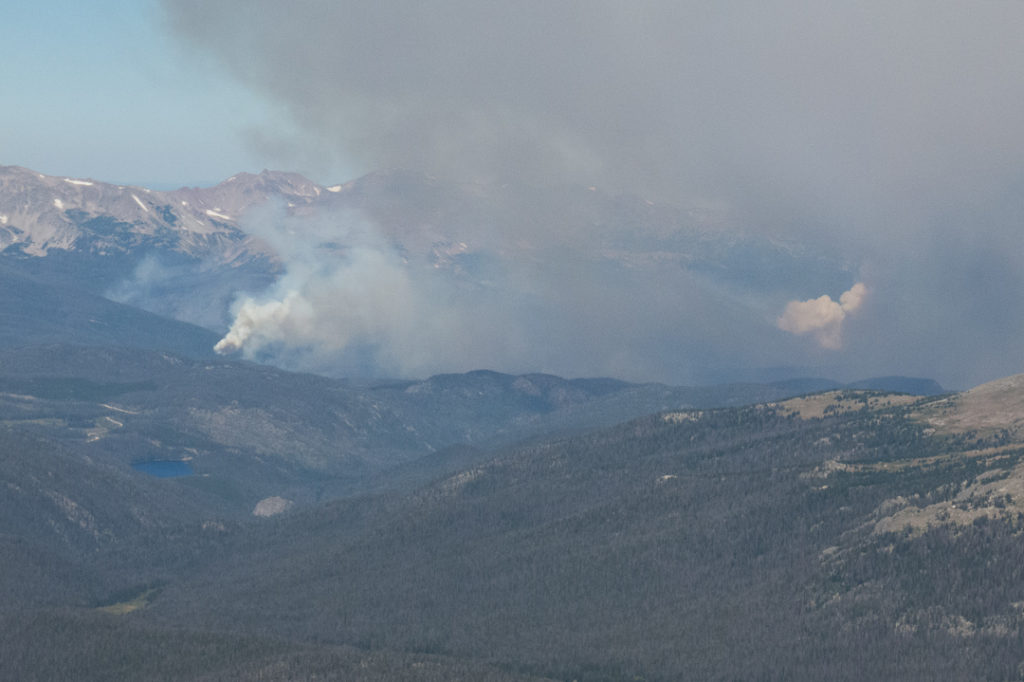
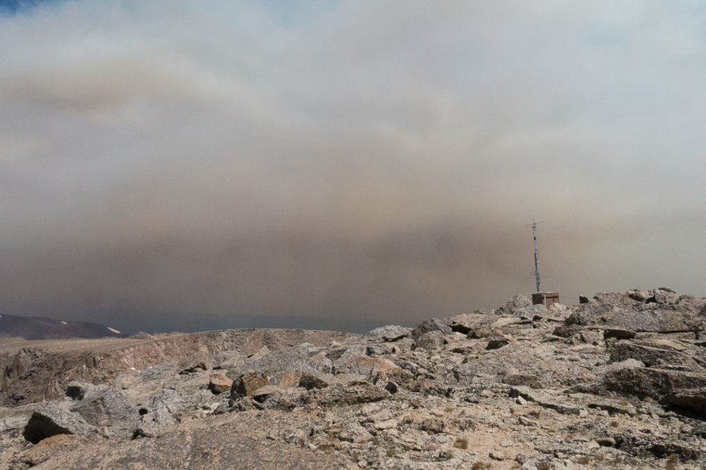
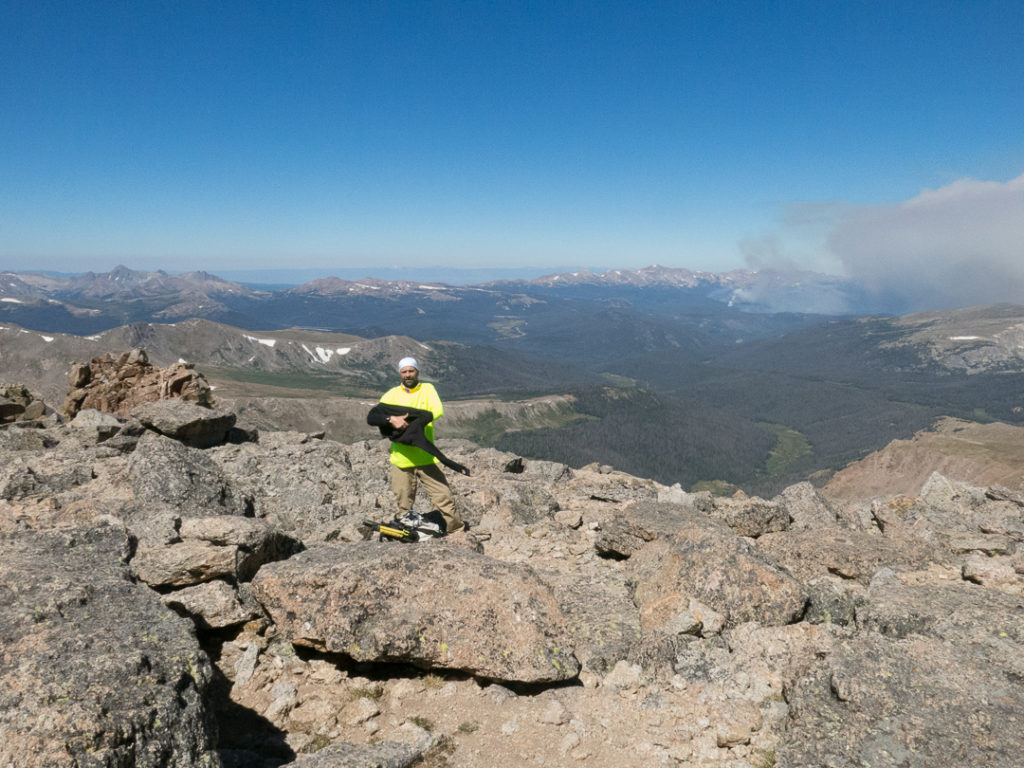
    During my activation of Hagues Peak (13,560 ft/4133 m), the highest of the Mummies, I could see the Cameron Pk fire and how it blackened the skies (see pictures).

    The smoke from several fires in Colorado thickened over the last 14 days, making for nice sun sets in Boulder and along the Front Range but also for very poor air quality. Early mornings air quality was better but the easterly winds pushed the smoke over the Mountains during the day making the views from peaks mediocre at best and breathing difficult.

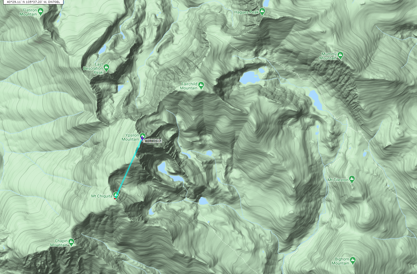
    Never the less, I decided to ‘finish’ the Mummies yesterday (Sunday 8/22/2020), starting at Chapin TH to summit Chapin/Chiquita/Ypsilon and as the big finale Fairchild Mtn which got away from me several times.

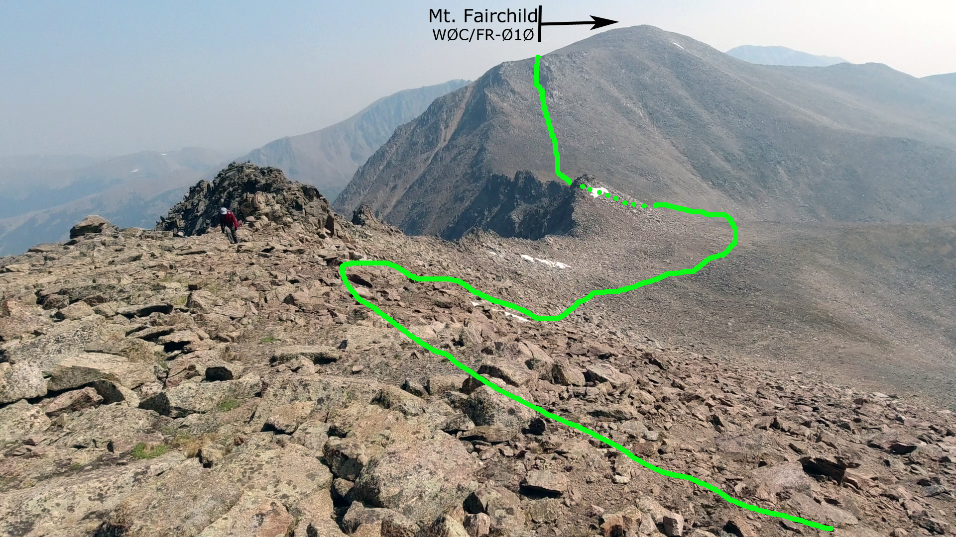
    Ypsilon to Fairchild is a steep and treacherous route, descending and ascending 1000+ feet over ~1 mile across terrain littered with talus and huge boulders. It takes all your extremities to get up to Fairchild Mtn.

    The smoke from the fires increased along our route and made breathing more difficult as we went along (slowing us down measurably). By the time we hit the ridge on Fairchild the smoke was pretty bad, hurting nose and throat and burning in the eyes. We abandoned the idea to activate the peak 1385 ft/422m before reaching the summit (no, we were not within the activation zone yet). The idea to spend another 1h+ in these conditions before hiking back an approx. 5h to the car with burning eyes and coughing was not pretty.

    Disappointed that Fairchild got away again again, but sort of happy at the same time for reaching (and playing with the radio on) 3 summits and the satisfaction that I made the treacherous traverse over to Fairchild – I could have made it without the smoke. I know now how a chain-smoker must feel every day.

    So, bottom-line of the story is that you please pay attention to the wind/fire/smoke conditions when you are planning to activate in/near RMNP. Check their Website, large areas are already closed (no roads yet). Right now it’s neither pretty (no visibility) nor healthy I presume.

    Oh, yeah, and if we had a QSO at ~14:40 UTC and I told you I am on Ypsilon Mtn (WØC/FR-ØØ9) I was wrong… I was on Mount Chiquita (not a SOTA Pk) and realized my mistake later (I blame lack of oxygen and smoke inhalation for my mistake – could be my age too). I was on Ypsilon Mountain at 16:30 UTC – I apologize for that.

    Stay safe and healthy.

    Best, Matt/KØMOS


    ATTENTION !! WARNING !! There are old mountaineers, and bold mountaineers… there are no old-bold mountaineers. Hiking and mountain climbing are potentially hazardous activities particularly in Colorado with its extreme elevations. I am not accepting responsibility for any death or injury resulting from activations based on my trip reports. Proper training, experience, and personal capability assessment is required – enjoy!
  • W0C/SP-084 (Aspen Ridge) – 3274 m / 10740 ft

    W0C/SP-084
    Aspen Ridge
    3274 m / 10740 ft
    Nov 20, 2016
    With N0TA

    By KX0R

    Aspen Ridge is a fun sub-alpine SOTA peak southeast of Buena Vista.

    Key Points:

    San Isabel National Forest
    • Accessible during warmer months – late spring, summer, fall
    • Relatively easy climb and activation
    • Beautiful scenery
    • Fine HF site
    • Private land on southeast side of summit ridge
    • Access via a rough 2WD/4WD road
    • ~ 1.8 miles round-trip
    • ~ 450 vertical feet

    Driving Directions:

    • Drive west on Highway 285, and cross Kenosha Pass
    • Continue through South Park to Antero Junction
    • Stay on 285 and descend southwest toward Buena Vista
    • Take FR 307 left, south, near Trout Creek
    • Follow FR 307 for 1.3 miles
    • Turn left on FR 187 and drive toward Castle Rock
    • Continue south on 187 for 5.8 miles to a junction with FR 185
    • Turn south on FR 185 – drive about 6 more miles total
    • Continue south past Elk Mountain Ranch
    • FR 185 climbs and becomes much rougher
    • As the road climbs above 10,200 feet, Aspen Ridge is visible above to the southeast
    • The road levels out just above 10,200 feet elevation
    • While driving south above 10,200 feet, look for a small trail leading southeast – this is the trail you want to hike.
    • Park near this trail, or perhaps a little further south

    The Hike:

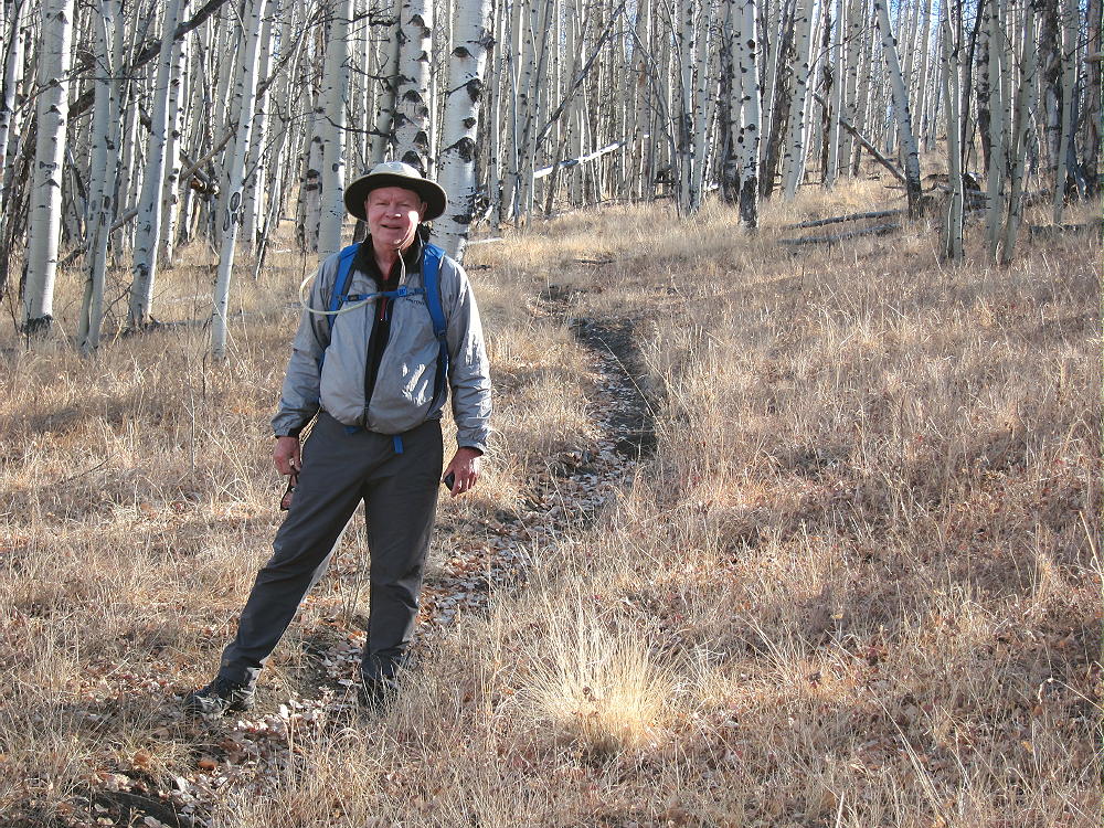
    • Hike up the trail through a meadow and then up into aspen forest
    • If you park at the saddle near 10,300 feet, hike northeast toward the ridge south of the summit, and intersect the trail in the aspens

    • Don’t climb the sub-peak south of Aspen Ridge
    • The trail goes up to the saddle south of the peak.
    • It then leads down into private land to the east.
    • The land is fenced and posted from near the ridge-top to the east.

    • Stay on the west side of the fence, and go north along the ridge; or pick a route  lower down, west of the ridge top, and continue toward the summit.
    • Pass a large pile of stones marking a property corner and the county boundary.
    • The entire ridge top is public land north of the stone pile.
    • Continue north to the actual peak.

    Additional Details:

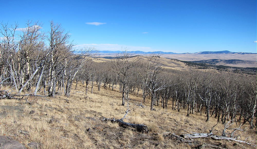
    This trip would be superb during aspen-gold season! Huge aspen groves cover the west side of the summit, as well as several miles all along the road.

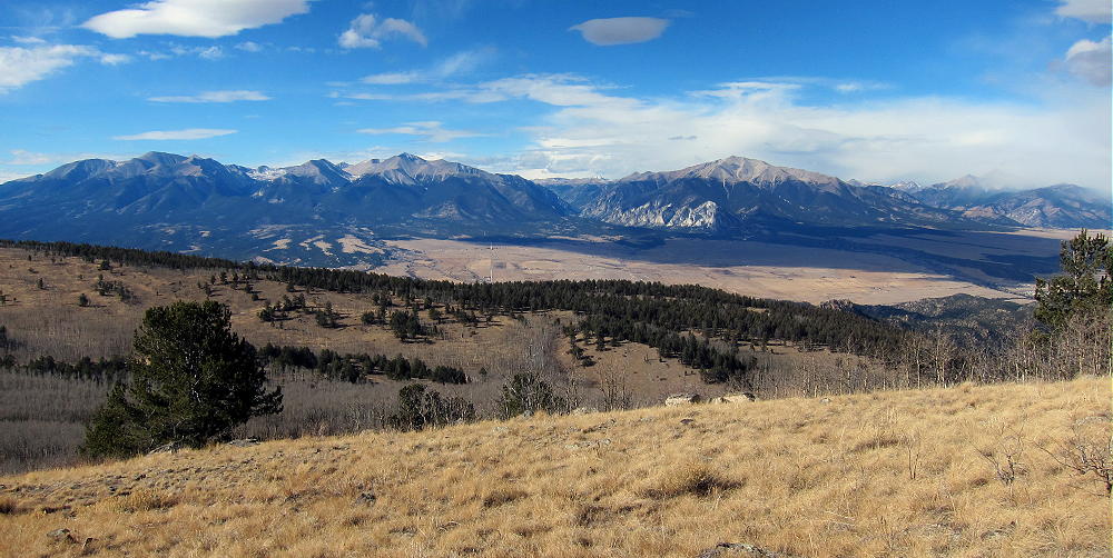
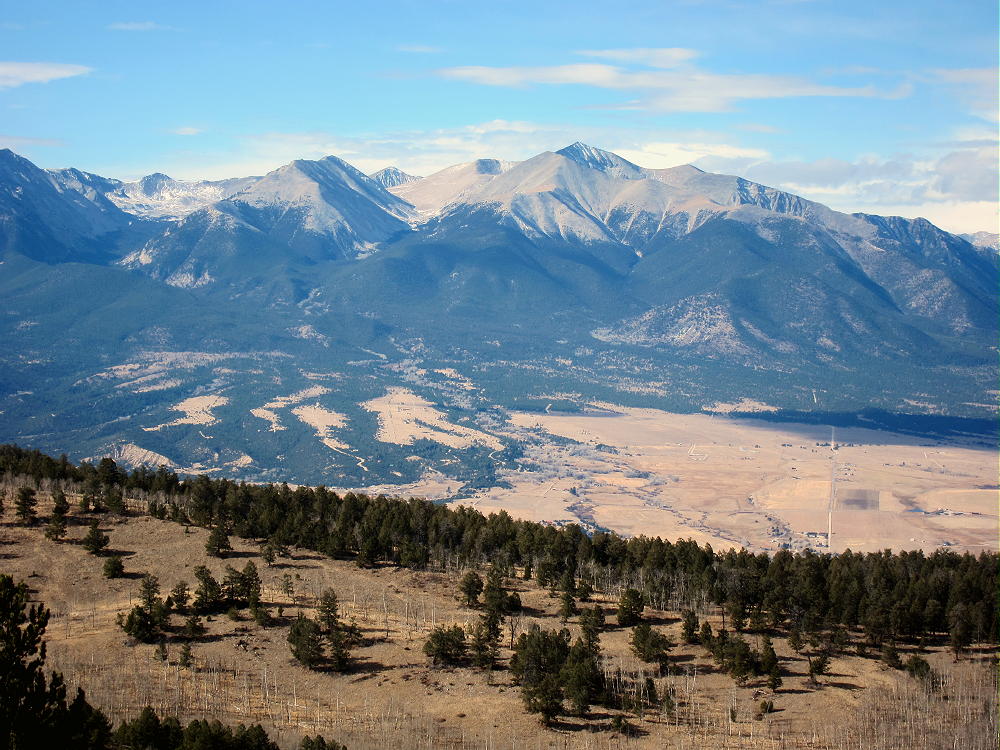
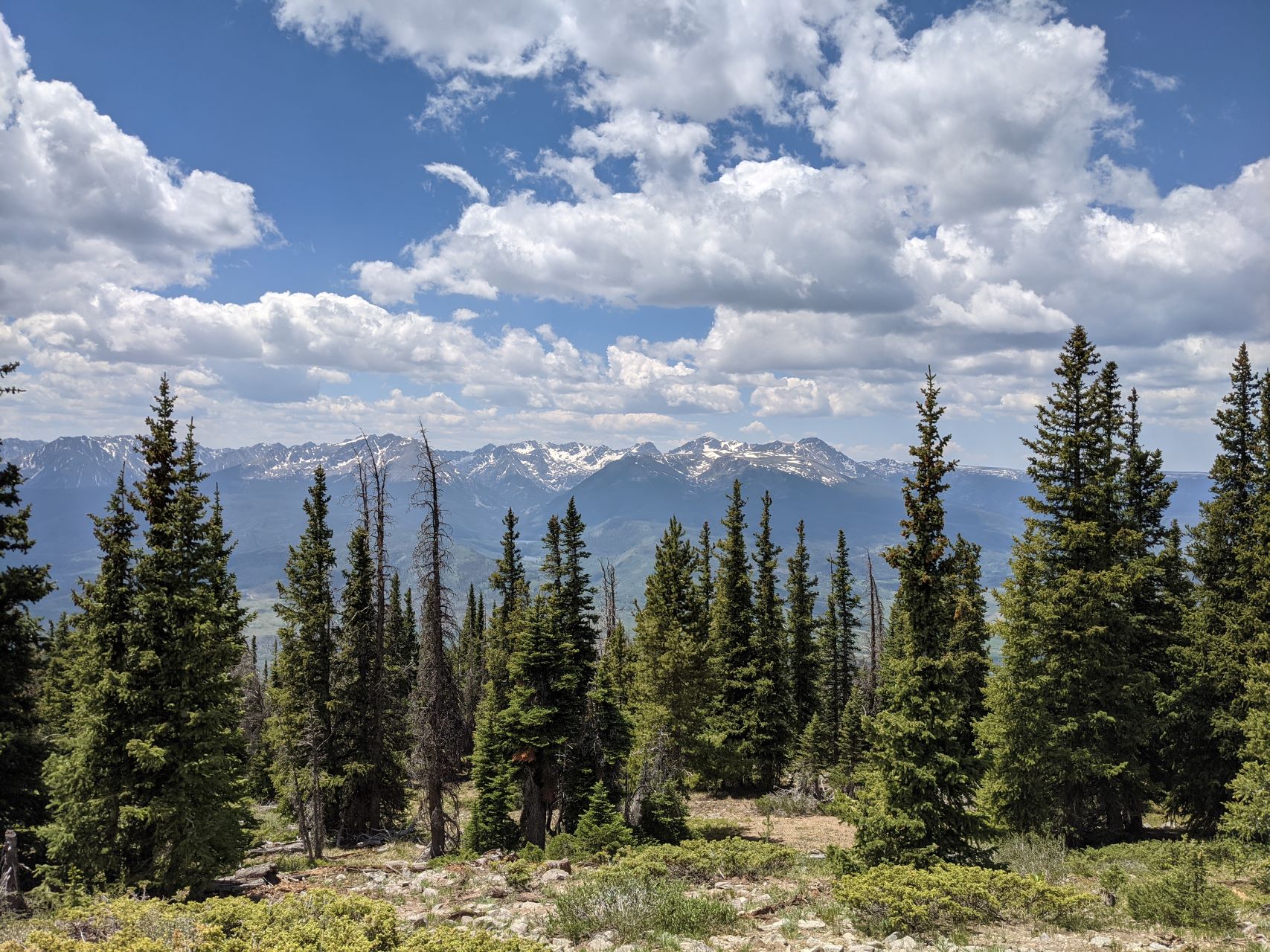
    The prominent summit is spectacular, with awesome views of the high Sawatch Range and Collegiate Peaks 14-ers about 15 miles to the west.

    Mount Antero isn’t very far away.

    The view northeast includes South Park and various mountains to the east.

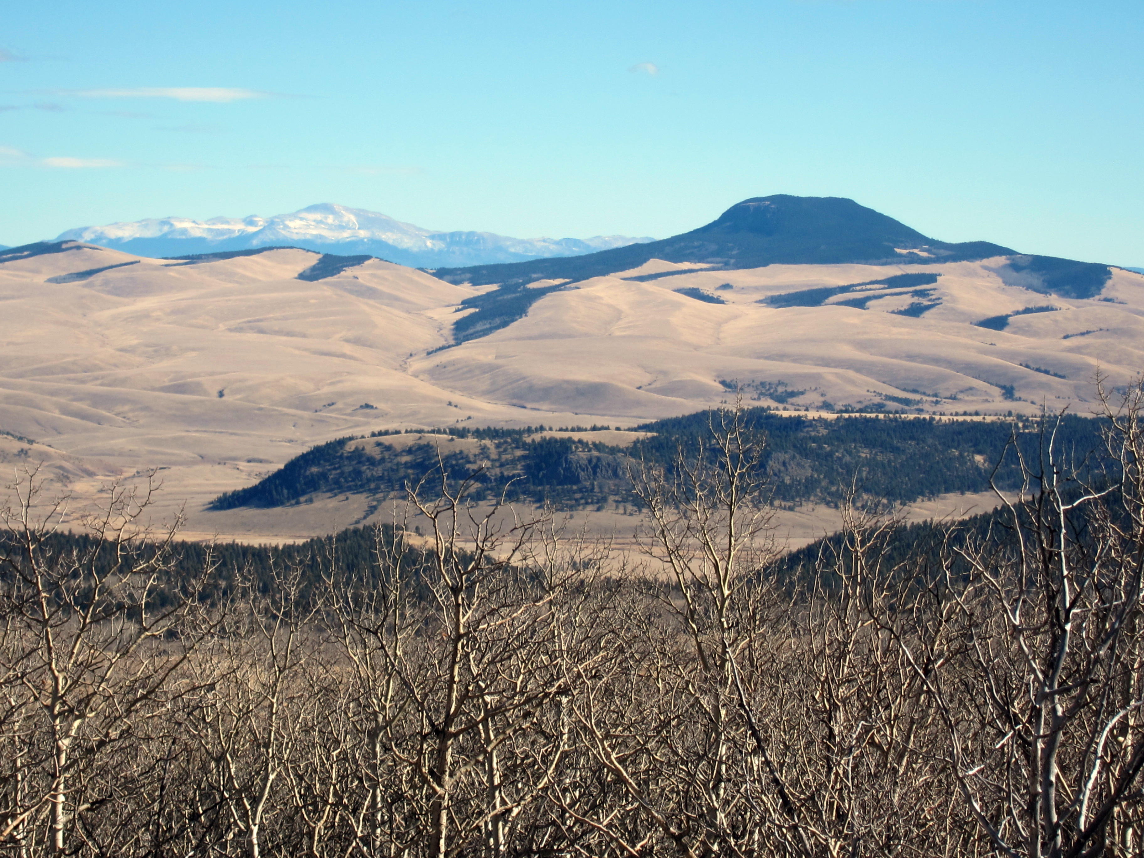
    Pikes Peak stands 51 miles away.

    The ridge runs almost level for a long way – the SOTA Activation Zone may be ¼ mile long. Many convenient trees are available along the top, so it’s easy to run a wire north-south right on the crest. Some protection from wind is provided by the ridge-top, as well as the vegetation.

    Aspen Ridge has a low HF noise level – almost no development is nearby. HF signals can take off at a low angle, because various higher summits are distant. This is a nearly ideal summit for HF SOTA.

    My results were good:

    7 MHz CW 21 contacts
    10 MHz CW 17 contacts
    18 MHz CW 11 contacts

    (49 total)

    John N0TA was on simultaneously, and he also did well:

    14 MHz CW 26 contacts
    7 MHz CW 10 contacts

    (36 total)

    We were both running 5 watts. The solar flux was 77, and the geomagnetic field was relatively quiet.

    I observed an amazing phenomenon while operating CW on 18 MHz. While calling CQ, I heard another station sending weakly on my exact frequency. Concerned about possible QRM, I stopped sending to listen. Instantly the other station also stopped – I heard nothing. I resumed sending CQ’s again, and the QRM resumed immediately. After a couple more repeats of this apparent interference, I sent a few dits, and I heard something come back. Soon it was apparent what was going on…Every time I sent, there was an apparent echo. I also could hear signals between my own dits and dahs.

    I was hearing my own signals, propagating all the way around the world! The QSK in my ATS-3B rig is fast enough to hear part of what went around the long path.

    Just when I realized I was hearing my own 5 watt signals traveling close to 25,000 miles, not QRM, other stations began calling me. I made 11 contacts on 17M, including ZL1BYZ, John, in New Zealand. Signals were quite strong on 17M – John was 579, I was 419; N1EU was 599, W4DOW was 599, etc.

    I also heard beautiful echoes on many of the 17M signals! They had long path components, and it was a real thrill to hear the band so incredibly alive! Some of the echoes were strong enough to make the signals hard to copy. This wasn’t the first time I’ve heard echoes on strong signals, but I’d never heard my own signals before.

    The low noise and excellent propagation from the summit of Aspen Ridge facilitated hearing the echoes. Unfortunately, such wonders may be rare as we descend into what remains of the current solar cycle.

    Because the Aspen Ridge looks down into parts of the Arkansas Valley and South Park, VHF/UHF contacts may be made with stations in these areas. Many 2M contacts have been made from Aspen Ridge.

    73

    George
    KX0R


    ATTENTION

    !! WARNING !! There are old mountaineers, and
    bold mountaineers… there are no old-bold mountaineers.
    Hiking and mountain climbing are potentially hazardous activities particularly in Colorado with its extreme elevations. I am not accepting responsibility for any death or injury resulting from activations based on my trip reports. Proper training, experience, and personal capability assessment is required – enjoy!
  • W0C/FR-171 (Green Mountain) / 2818 m / 9245 ft

    W0C/FR-171
    Green Mountain
    2818 m / 9245 ft
    First Activation
    Nov 13, 2016

    By KX0R

    Green Mountain is a relatively easy, fun SOTA peak in the Laramie Mountains of Northern Colorado.

    Key Points:

    • Access via Roosevelt National Forest
    • Dead Tree State Wildlife Area
    • Gentle climb to a pleasant, prominent summit
    • Nice scenery
    • Fine HF site
    • Long dirt road access
    • Forest road runs close to the peak
    • Google Maps don’t show the road access adequately
    • Beware of hunters in fall
    • ~ 1.6 miles round-trip
    • ~ 250 vertical feet

    Driving Directions:

    • Start up Highway 287 northwest of Fort Collins
    • Drive about 23 miles from the northern edge of Fort Collins
    • Turn west on Cherokee Park Road 80C
    • This road is a pretty good 2WD dirt road
    • It gets rougher and steeper as it climbs into the mountains
    • Drive northwest on Road 80C for about 28 miles
    • Turn north on FR 315 – the junction is marked by a sign.
    • Drive northeast about 1.9 miles and ascend about 600 vertical feet
    • FR 315 is a small 2WD road – too rough for many cars
    • Park slightly west of the high point of the road, between 8940 and 9000 feet
    • There’s no trail or marked trailhead

    The Hike:

    • The route is up the southeast slopes of Green Mountain
    • Study the satellite image and the topo map
    • GPS is strongly recommended for this hike
    • The peak is the highest summit of many sub-peaks, several of which are above 9200 feet, on a long forested ridge running WSW-ENE
    • Be sure you climb the correct summit
    • Hike through meadows in a logged area, first north, and then west
    • Short-cut through some thick remaining stands of trees, or go around them on the east side
    • Climb the southeast side of the peak
    • This route’s fairly open, with good game trails running right up to the top
    • A huge rock cairn and a benchmark mark the summit.
    • If you don’t see the cairn, you’re not at the right summit!

    Additional Details:

    This is another remote, seldom-climbed Colorado summit that provides a fine experience and a good SOTA activation. The most challenging task is locating the peak. The summit is listed as Dead Tree Benchmark on some maps.  The southern approach to the peak is from the Roosevelt National Forest.  The peak itself may be in the Dead Tree State Wildlife Area.  It’s not posted.

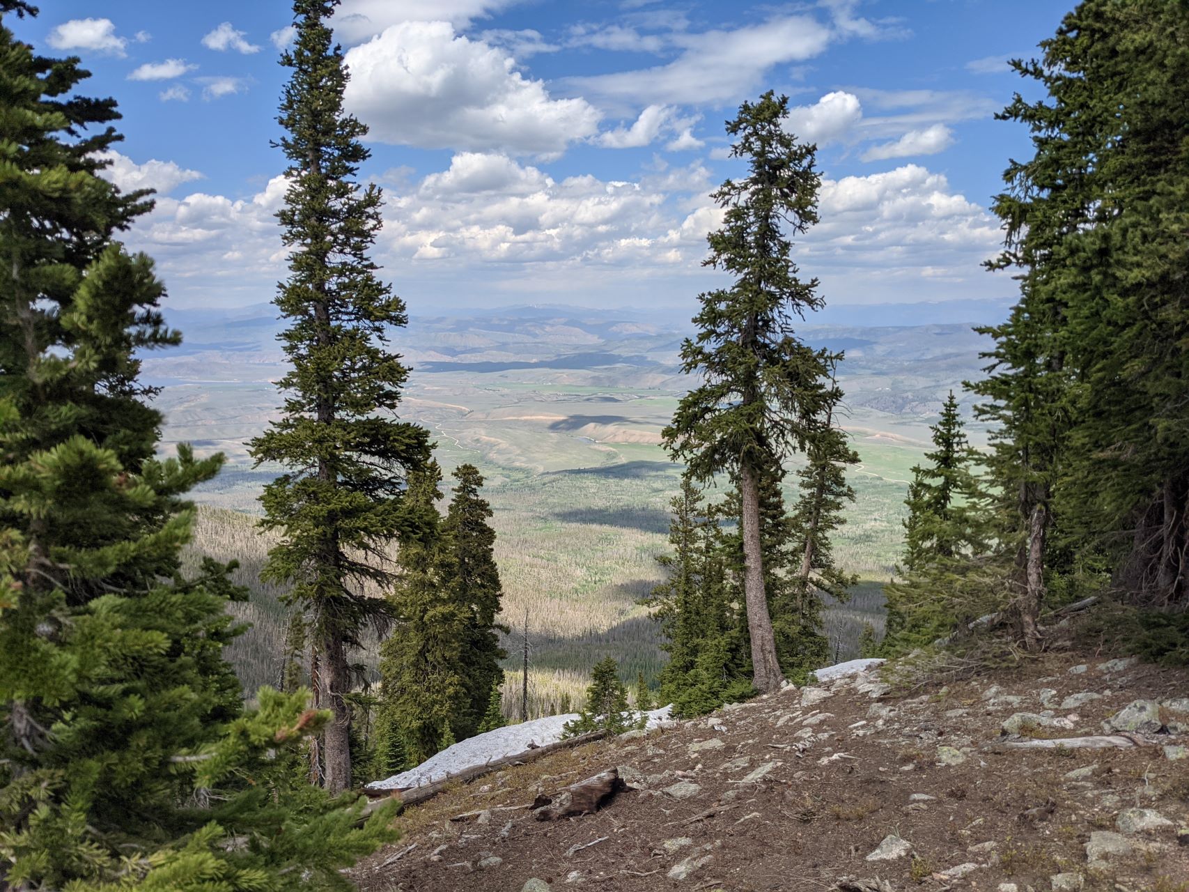
    Green Mountain is only 2-1/2 miles from Wyoming. There are fine views of northern Colorado and southeast Wyoming.

    There’s no development nearby, and the RF noise level is very low. The SOTA Activation Zone is large and pleasant. Good spots for setting up gear are available near the top, as well as on the ridge.

    Many good trees grow up there, and shelter from the wind is easy to find. The day we climbed Green Mountain, it was cool and windy, but we were both comfortable during our joint activation – we set up our gear in sunny, sheltered spots.

    The area around Green Mountain has many deer and elk, as well as many hunters in the fall. Definitely wear safety orange if you go there during hunting season.

    This is a good summit to combine with nearby W0C/FR-183, 8740, for a dual activation with little extra driving.

    73

    George
    KX0R


    ATTENTION

    !! WARNING !! There are old mountaineers, and
    bold mountaineers… there are no old-bold mountaineers.
    Hiking and mountain climbing are potentially hazardous activities particularly in Colorado with its extreme elevations. I am not accepting responsibility for any death or injury resulting from activations based on my trip reports. Proper training, experience, and personal capability assessment is required – enjoy!
  • W0C/SR-061 (Mount Sherman) – 4278 m / 14036 ft

    W0C/SR-061
    Mount Sherman
    4278 m / 14036 ft
    Sep 28, 2016

    By KX0R

    Mount Sherman is a rocky, high, alpine summit in a historic mining area about 10 miles west of Fairplay, Colorado.

    • High altitude hike
    • Very popular 14-er climb
    • Rocky trail goes all the way to the top
    • Spectacular alpine scenery
    • Excellent HF site
    • 4.7 miles round-trip
    • ~2000 vertical feet total
    *** SOTA Classic! ***

    Driving Directions:

    • Drive west on Highway 285, and cross Kenosha Pass
    • Continue west on Highway 285 to Fairplay
    • Drive south from Fairplay about one mile
    • Just past the turn-off for Highway 9, Highway 285 goes up a little hill
    • Turn west at the top of the hill on County Road 18, the Four Mile Creek Road
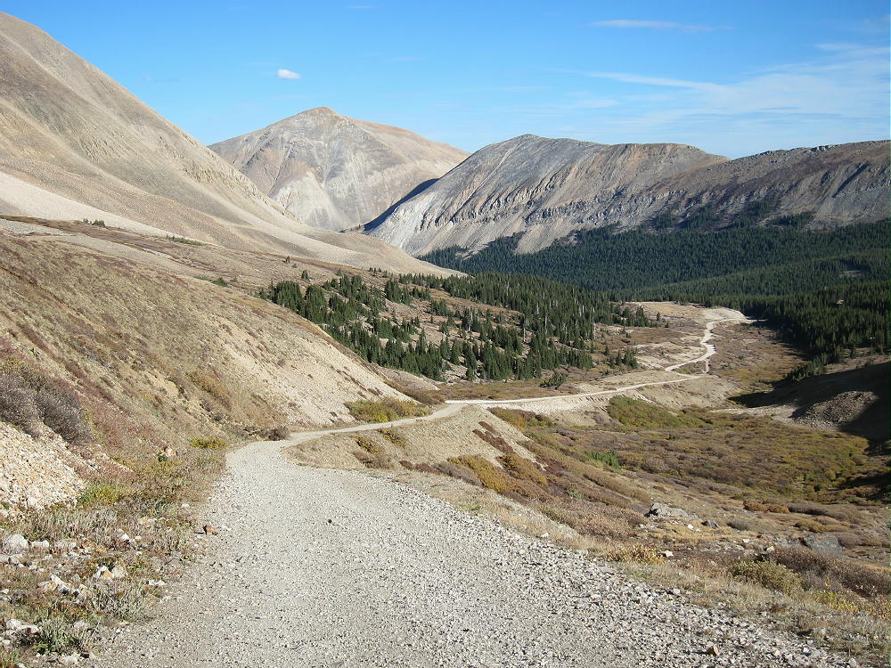
    • This unpaved road is OK for several miles, but it gets worse as it heads up into the mountains. 4WD is not required, but many parts of the road are rocky and rough.
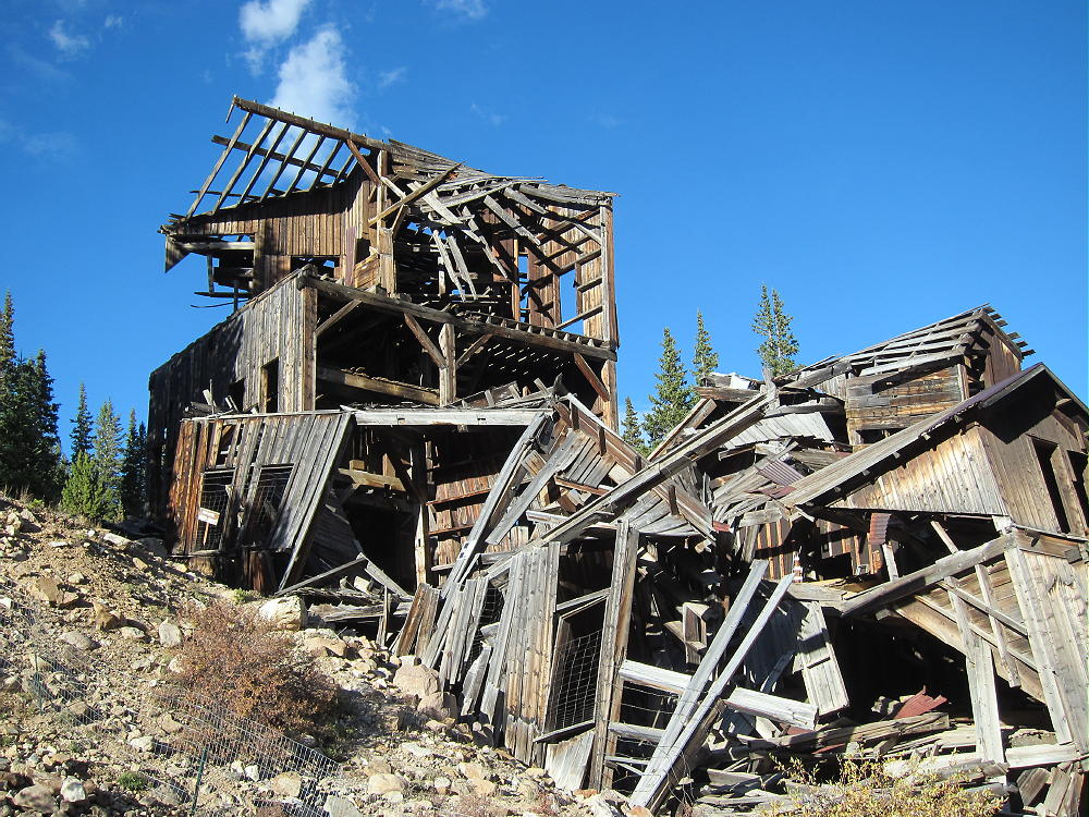
    • Follow CR 18 up scenic, historic Four Mile Creek, past old mines and mills.

    • The last mile or so is rough and steep. There are many rocks too large for low-clearance vehicles. Some vehicles with medium clearance may make it OK, if driven carefully.

    • Parking lower along the road is possible – some parking is available about one mile down, near 11,600 feet.
    • The road ends at a gate near an old mine; there’s a large parking area.
    • This is the Fourmile Creek Trailhead, also called the Mount Sherman Trailhead.

    • This trailhead is at 12,200 feet
    • It’s about 12 miles from Highway 285 to the trailhead.
    • This is a very popular trailhead, because Mount Sherman is one of the most-climbed 14-ers.

    The Hike:

    • Because of the high altitude, this trip is recommended only for experienced climbers with a high level of physical fitness.
    • Google Maps show none of the trails near Mount Sherman
    • GPS is very useful in this area
    • The hike is relatively simple, but it isn’t marked well with signs, etc.
    • Hike up the road past the gate, and stay on the mine road as it ascends mostly north, up past various old mines and historic structures, into a high basin at about 12,900 feet.

    • A well-used foot trail leads west from the basin at 12,900 feet up to the saddle at about 13,125 feet. There are a few cairns marking the correct route.
    • At the saddle, Mount Sherman stands high to the northeast; Mount Sheridan stands less high to the southwest.
    • Follow the trail northeast up the moderate ridge

    • Continue climbing up past 13,500 feet, as the ridge narrows and becomes steeper and rougher.
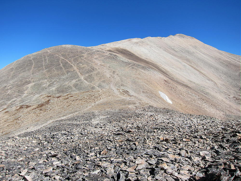
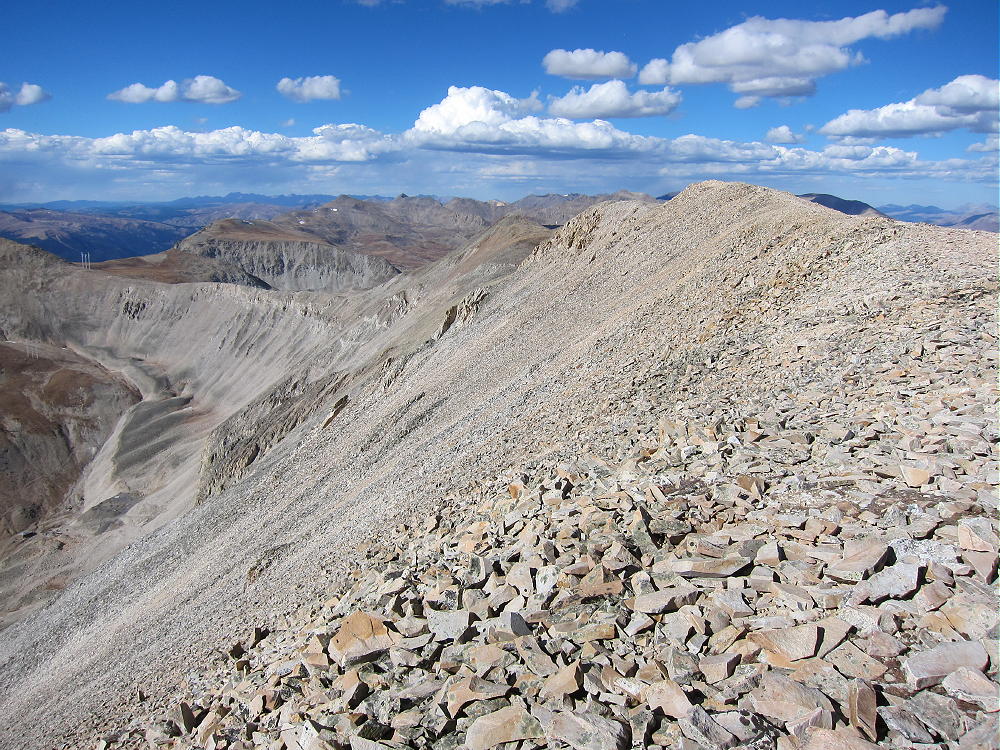
    • At 14,000 feet the trail reaches the long, flat summit ridge.

    • The actual summit is near the middle of the ridge.
    • Several rock piles and wind shelters are available.

    Additional Details:

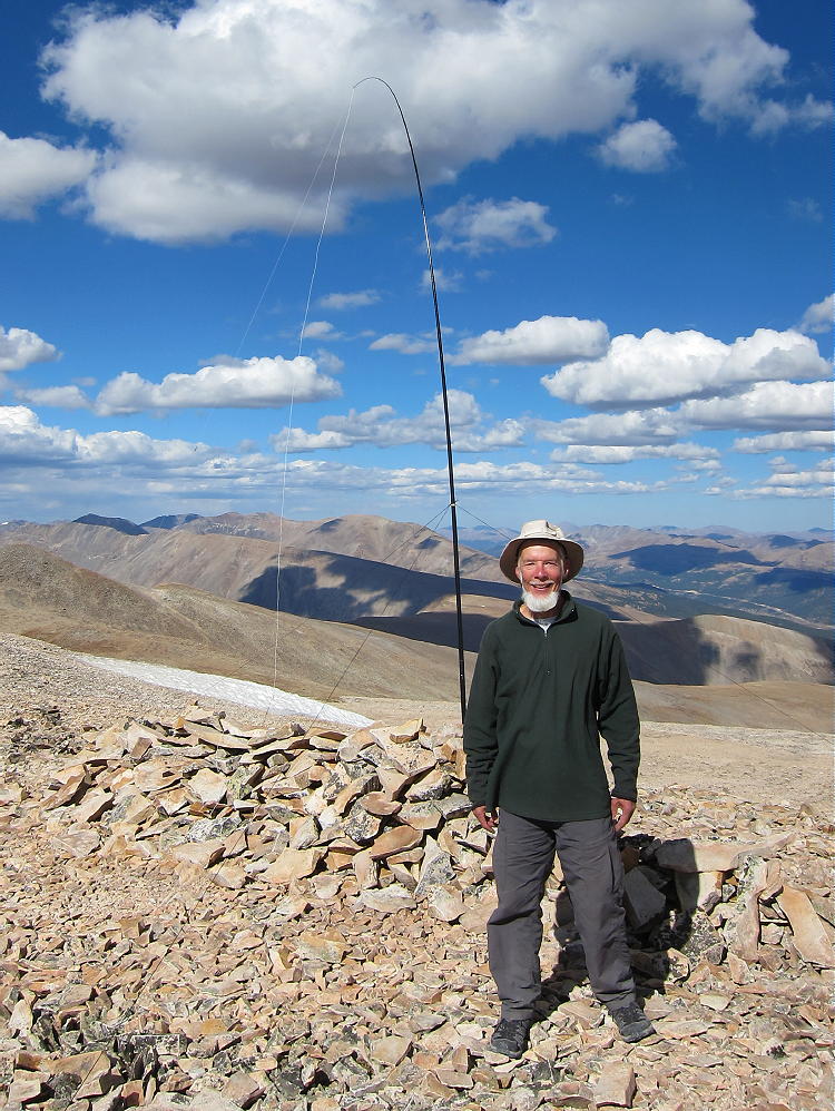
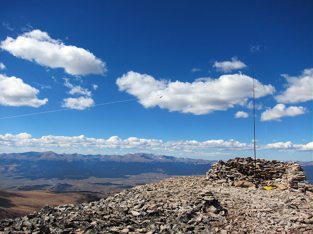
    Unless the wind is extreme, or people are already there, a wind shelter may be a good place to set up radio gear. I had some wind, so I guyed my pole to rocks near a convenient shelter north of the summit. It was easy to run the wire along the ridge and set up my gear in the shelter.

    Mount Sherman is a perfect HF summit. It falls away in all directions, and there are no higher peaks nearby to affect skip signals. There’s little development with AC power nearby, and the RF noise level is very low. I had no problem making 43 CW contacts on three HF bands!

    Sherman is an OK VHF/UHF peak, because it looks out across most of South Park, as well as into parts of the Arkansas Valley. The SOTA page shows many 2M contacts.

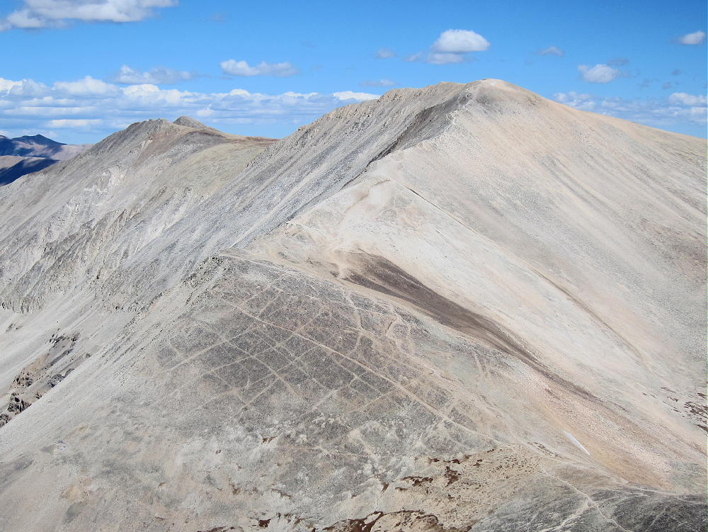
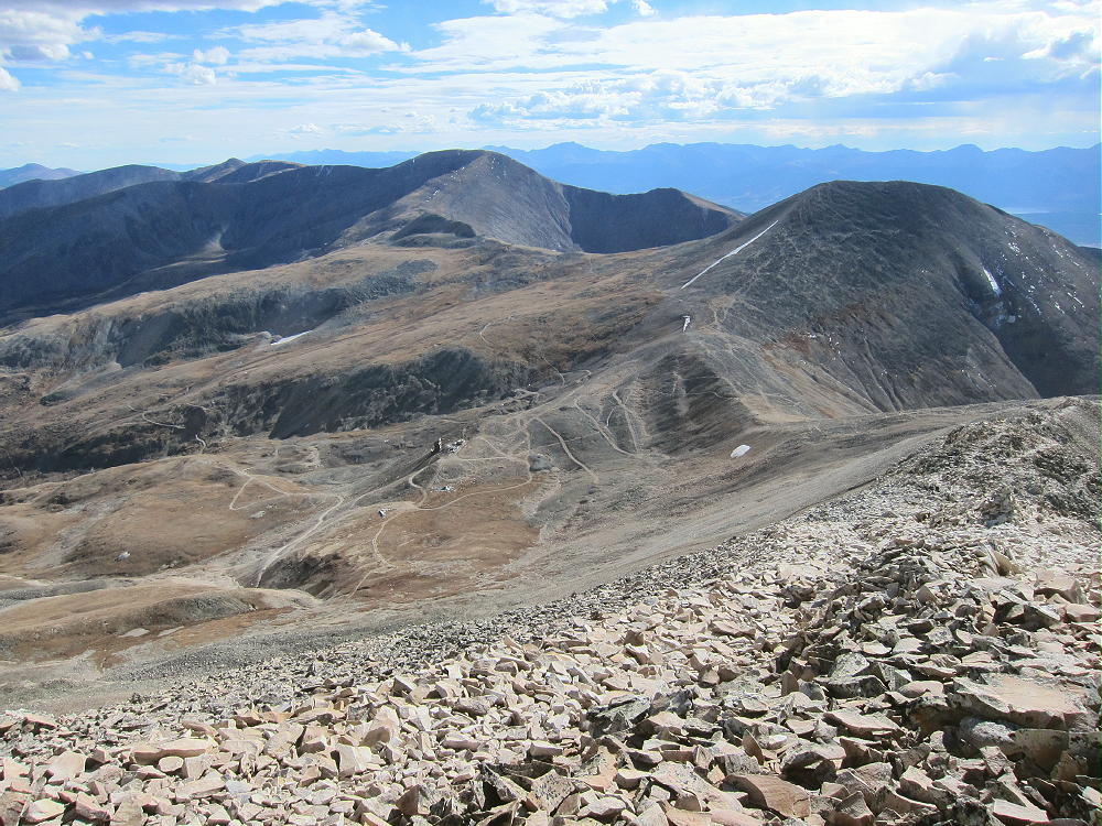
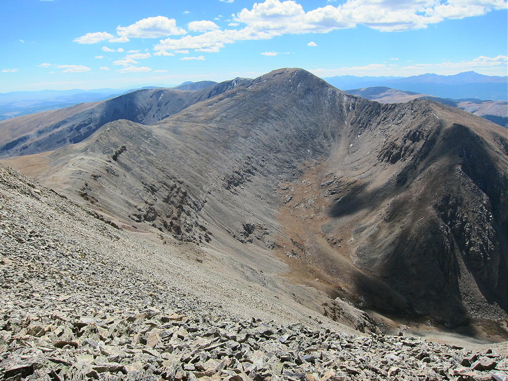
    The summit offers great views of numerous peaks and most of South Park. The immediate area near the mountain is impressive – White Ridge extends far out to the east – it’s very bright. Pikes Peak stands alone across South Park, 66 miles to the southeast.

    Other high peaks stand for miles along the top of the Mosquito Range to the north. Mount Sheridan is only about 1.3 mile southwest, and the ridge continues 1.6 miles south to Horseshoe Mountain.

    The ridge stays high for many more miles. It seems like everything in sight is over 4000M! The Sawatch Range isn’t far away, with numerous higher peaks to the west. . Dozens of SOTA peaks are visible.

    Mount Sheridan W0C/SR-070 offers a reasonable dual activation nearby. Activating Sheridan adds about 2 miles and 650 vertical feet to the trip up Sherman. I activated both peaks, but I started with Sheridan. It was a long day, but so nice that there was almost nothing to worry about.

    I saw only a few people on Sherman, mostly because my visit was late in the season. It was perfect weather, with little wind, and sunny all day. It’s incredible to be in such high places with ideal conditions! It was nice to contact so many chasers with my tiny radio!

    Mount Sherman is a SOTA Classic for all the reasons detailed above, and Mount Sherman and Sheridan are a SOTA Classic Dual Activation!

    73

    George
    KX0R


    ATTENTION

    !! WARNING !! There are old mountaineers, and
    bold mountaineers… there are no old-bold mountaineers.
    Hiking and mountain climbing are potentially hazardous activities particularly in Colorado with its extreme elevations. I am not accepting responsibility for any death or injury resulting from activations based on my trip reports. Proper training, experience, and personal capability assessment is required – enjoy!

  • W0C/SR-070 (Mount Sheridan) – 4190 m / 13748 ft

    W0C/SR-070
    Mount Sheridan
    4190 m / 13748 ft
    Sep 28, 2016

    By KX0R

    Mount Sheridan is a rocky, high, alpine summit in the historic mining area about 10 miles west of Fairplay, Colorado.

    • High altitude hike
    • Partially marked route
    • Rocky trail goes all the way to the top
    • Spectacular alpine scenery
    • Excellent HF site
    • ~ 4.5 miles round-trip
    • ~ 1750 vertical feet
    *** SOTA Classic! ***

    Driving Directions:

    • Drive west on Highway 285, and cross Kenosha Pass
    • Continue west on Highway 285 to Fairplay
    • Drive south from Fairplay about one mile
    • Just past the turn-off for Highway 9, Highway 285 goes up a little hill
    • Turn west at the top of the hill on County Road 18, the Four Mile Creek Road
    • This unpaved road is OK for several miles, but it gets worse as it heads up into the mountains. 4WD is not required, but many parts of the road are rocky and rough.
    • Follow CR 18 up scenic, historic Four Mile Creek, past old mines and mills.

    • The last mile or so is rough and steep. There are many rocks too large for low-clearance vehicles. Some vehicles with medium clearance may make it OK, if driven carefully.
    • Parking lower along the road is possible – some parking is available about one mile down, near 11,600 feet, and lower.
    • The road ends at a gate near an old mine; there’s a large parking area.
    • This is the Fourmile Creek Trailhead, also called the Mount Sherman Trailhead.
    • This trailhead is at 12,200 feet
    • It’s about 12 miles from Highway 285 to the trailhead.
    • This is a very popular trailhead, because Mount Sherman W0C/SR-061 is one of the most-climbed 14-ers.

    The Hike and Climb:

    • Because of the high altitude, this hike is recommended only for experienced climbers with a high level of physical fitness.
    • Google Maps show none of the trails near Mount Sherman
    • GPS is very useful in this area
    • The hike is relatively simple, but it isn’t marked well with signs, etc.
    • Hike up the road past the gate, and stay on the mine road as it ascends mostly north, up past various old mines and historic structures, into a high basin at about 12,900 feet.

    • A well-used foot trail leads west from the basin at 12,900 feet up to the big saddle at about 13,125 feet. There are a few cairns marking the correct route.

    • At the saddle, Mount Sherman stands high to the northeast; Mount Sheridan stands less high to the southwest.

    • Follow the trail southwest along the gentle ridge, and then ascend Sheridan by staying on the most visible trail up the rocky ridge.
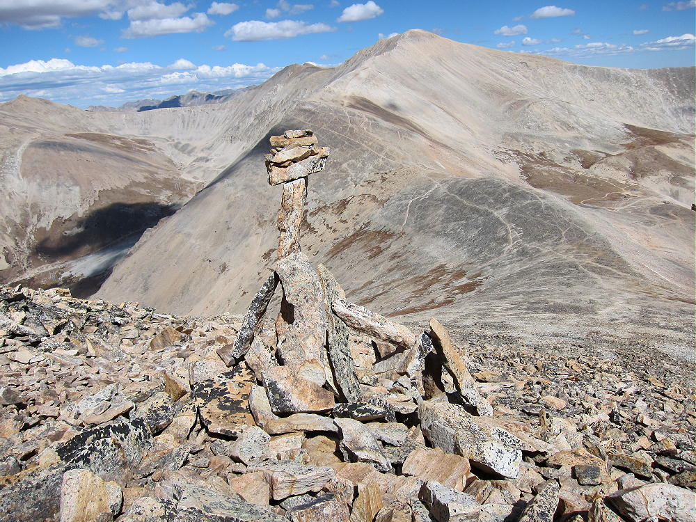
    • Near the summit, the trail leads up through talus – there are some cairns, including the most exotic ones I’ve ever seen.

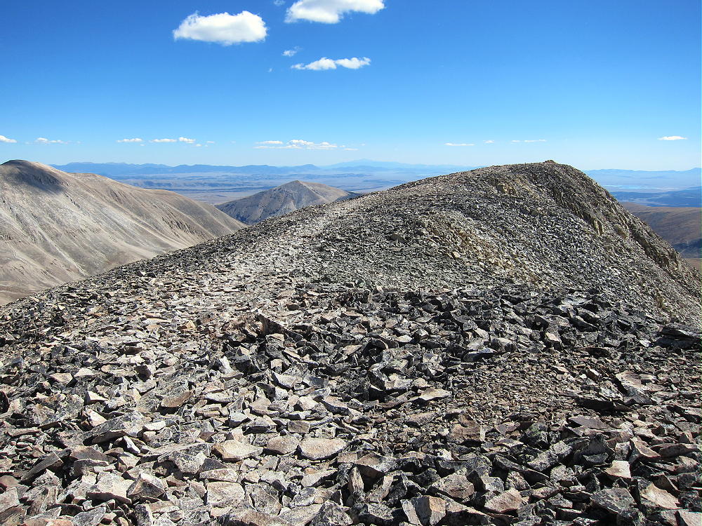
    • At the top, the long, flat summit ridge comes into view.
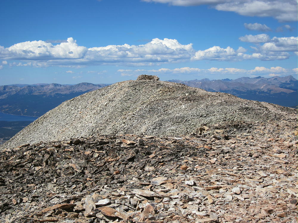
    • The actual summit is at the southeast end of this ridge; a big pile of rocks marks the spot.

    • A large wind-shelter built from rocks stands on the northwest end of the summit ridge, 400 feet from the actual peak.
    • A pleasant stroll along the ridge-top leads to the wind-shelter; fortunately, the entire ridge is well within the SOTA Activation Zone.

    Additional Details:

    Unless the wind is extreme, or people are already there, the northwestern wind shelter is an ideal place to set up radio gear. Just tie the pole to the rock wall, string the wire out along the open ridge, sit down in the shelter, and go on the air. Sometimes high peaks are tricky, but this one is already set up for SOTA!

    Mount Sheridan is a near-perfect HF summit. It falls away in most directions, and except for Mount Sherman to the north, there are no higher peaks close enough to affect skip signals much. There’s no development with AC power nearby, and the RF noise level is very low.

    I had no problem making 38 CW contacts on three HF bands! One of the 20M contacts was summit-to-summit (S2S) with K7NEW on W7W/NO-035.

    Sheridan is a decent VHF/UHF peak, because it looks out across parts of South Park, as well as into part of the Arkansas Valley near Leadville. The peak’s SOTA history shows many 2M contacts.

    The summit offers great views of numerous peaks and parts of South Park. The immediate area near the mountain is stunning – Mount Sherman is very bright, almost white, to the north; other high peaks stand for miles back along the top of the Mosquito Range behind Sherman. The high ridge leads south about 1.6 miles to Horseshoe Mountain W0C/SR-064, and then the ridge stays high and continues south for many more miles.

    Many of the peaks in view exceed 4000 M! The Sawatch Range isn’t far away, with numerous higher peaks to the west; and Pikes Peak stands out clearly in the southeast, 66 miles away.

    Mount Sherman W0C/SR-061 offers a reasonable dual SOTA activation nearby. I had no problem hiking down to the saddle at 13,125 feet and then up Sherman via the main trail up the south ridge. It was a long day, but so nice that I had almost nothing to worry about!

    I never saw a soul on Mount Sheridan, mostly because I was there late in the season. The sunny weather was ideal, with little wind all day. It’s incredible to be alone in such places when everything is perfect.

    Mount Sheridan is a SOTA Classic for all the reasons detailed above!  Mount Sheridan and Mount Sherman are a SOTA Classic Dual Activation!

    73

    George
    KX0R


    ATTENTION

    !! WARNING !! There are old mountaineers, and
    bold mountaineers… there are no old-bold mountaineers.
    Hiking and mountain climbing are potentially hazardous activities particularly in Colorado with its extreme elevations. I am not accepting responsibility for any death or injury resulting from activations based on my trip reports. Proper training, experience, and personal capability assessment is required – enjoy!
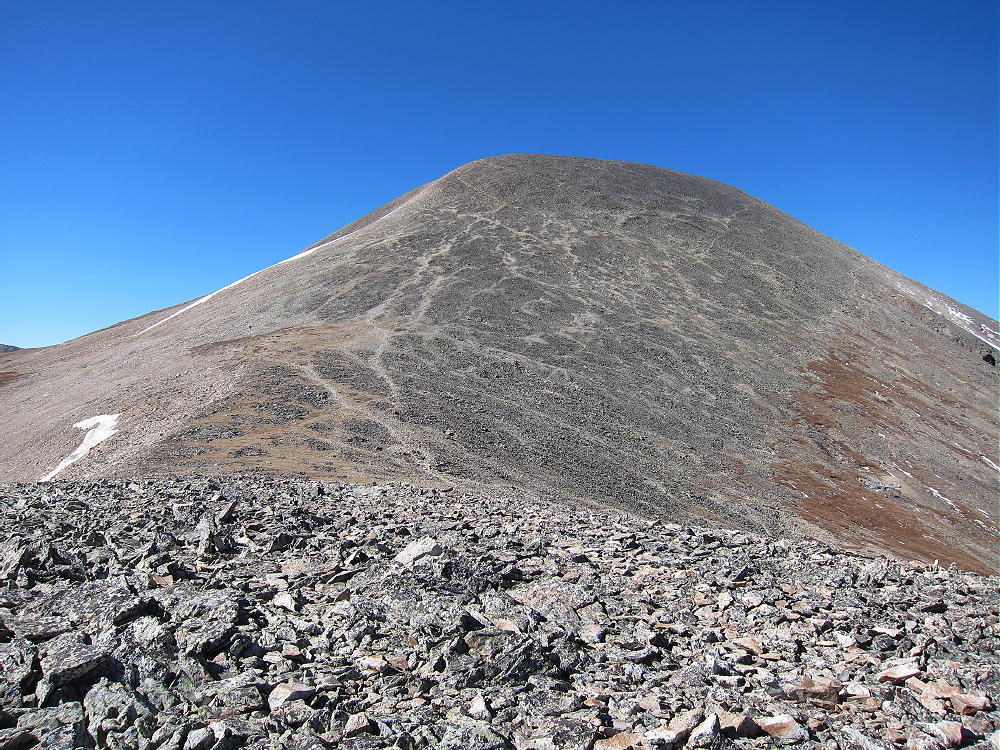
  • W0C/SR-064 (Horseshoe Mountain) – 4236 m / 13898 ft

    W0C/SR-064
    Horseshoe Mountain
    4236 m / 13898 ft
    Sep 27, 2016

    By KX0R

    Horseshoe Mountain is a high, alpine summit in a historic mining area about 10 miles west of Fairplay, Colorado.

    Key Points:

    • High altitude hike
    • No marked route
    • Old mining road ascends part way
    • Rocky path leads along ridge to the top
    • Spectacular alpine scenery
    • Geology field trip
    • Excellent HF site
    • ~ 6 miles round-trip from 11,850 foot parking spot
    • ~ 2050 vertical feet total from 11,850 foot parking spot
    • ~ 4 miles round trip from 12,300 foot parking spot
    • ~ 1600 vertical feet total from 12,300 foot parking spot
    *** SOTA Classic! ***
    Driving Directions:

    • Drive west on Highway 285 and cross Kenosha Pass
    • Continue west on Highway 285 to Fairplay
    • Drive south from Fairplay about 1 mile
    • Just past the turn-off for Highway 9, Highway 285 goes up a little hill.
    • Turn west at the top of the hill on CR 18, the Four Mile Creek Road.
    • Mostly unpaved CR 18 is OK for several miles, but it gets worse as it heads up into the mountains. 4WD isn’t required, but many parts of the road are rocky and rough.
    • Follow CR 18 up historic Four Mile Creek, past old mines and mills, for about 10 miles from Highway 285.


    • At about 11,600 feet, a small, insignificant road, FR-603, leads south across Four Mile Creek.
    • It might be possible to park on the north side of CR 18 near FR-603.
    • FR-603 is an easy 4WD road – it climbs steeply southwest and leads into the Horseshoe Cirque below the summit.

    • FR-603 requires high clearance in spots, but it may be passable in some 2WD vehicles.
    • Most of the land along the first part of FR-603 is private and is posted.
    • It’s possible to park along the road past the posted land.
    • FR-603 improves as it enters the Horseshoe.
    • There’s a good parking spot at about 12,300 feet overlooking a small lake.

    The Hike:

    • Because of the high altitude, this trip is recommended only for experienced hikers with a high level of physical fitness.
    • Google Maps show none of the trails near Horseshoe Mountain.
    • GPS is very useful in this area.
    • The hike is simple, but it isn’t marked well with signs, etc.
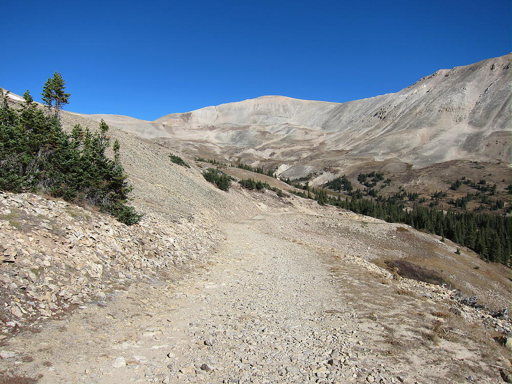
    • From the 4WD parking spot at 12,300 feet, hike up the mine road as it continues steeply up switchbacks and climbs the ridge north of the peak.

    • If you have a serious 4WD vehicle, you may be able to drive up as high as 13,000 feet.
    • Hike up the remains of the road to the saddle on the ridge at 13,200 feet.


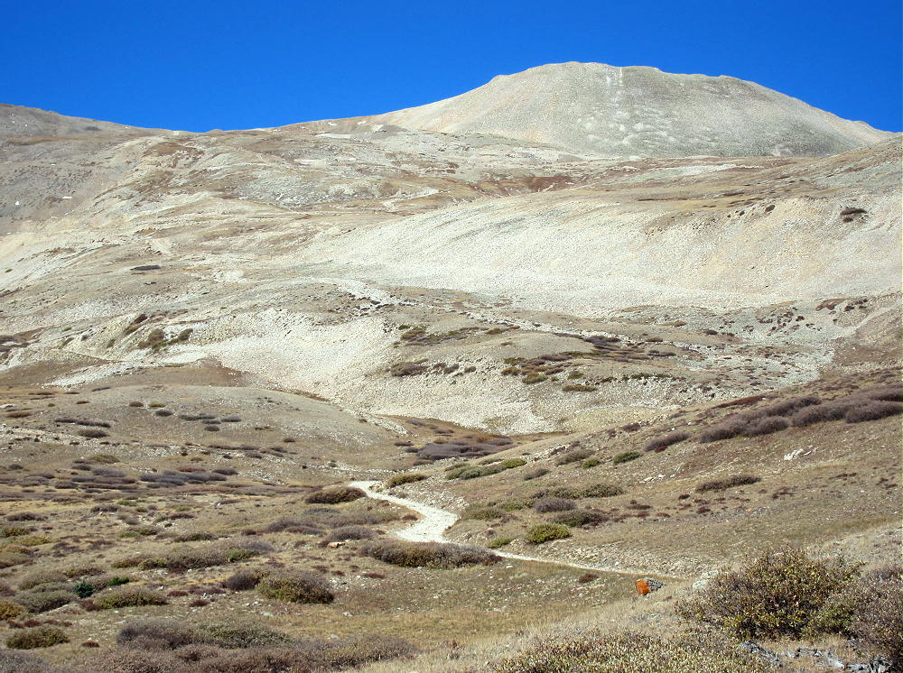
    • An unmarked faint path leads south and climbs up the moderate ridge about 0.8 miles to the summit area.
    • A rock-pile is near the summit, but there’s no wind shelter.

    Additional Details:

    The part of the summit ridge above 13,800 feet is about ½ mile long. The SOTA Activation Zone is perhaps 2000 feet long and is relatively flat. As long as the wind is not too strong, you can set up radio gear anywhere that’s convenient.
    The weather was perfect when I climbed up Horseshoe Mountain. With only a breeze, I guyed my pole and set up on top.

    Horseshoe Mountain is a perfect HF summit. It falls away in all directions, and there are no higher peaks nearby to affect skip signals. There’s no development nearby, and the RF noise level is very low.

    I had no problem making 43 CW contacts on four HF bands! I logged three DX contacts:

    F6HKA in France               20M
    ZL1BYZ in New Zealand    20M
    ZL1BYZ in New Zealand    17M

    I also made three summit-to-summit (S2S) contacts:

    W4EON    W4V/HB-020    20M
    WA9STI    W6/CC-002     30M
    NS7P       W7O/CM-072   30M

    Horseshoe is fair VHF/UHF peak, because it looks out across most of South Park, as well as into parts of the Arkansas Valley. The history for the peak shows many 2M contacts.

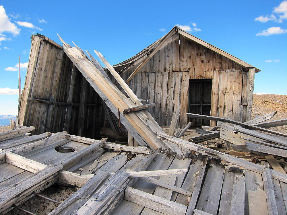
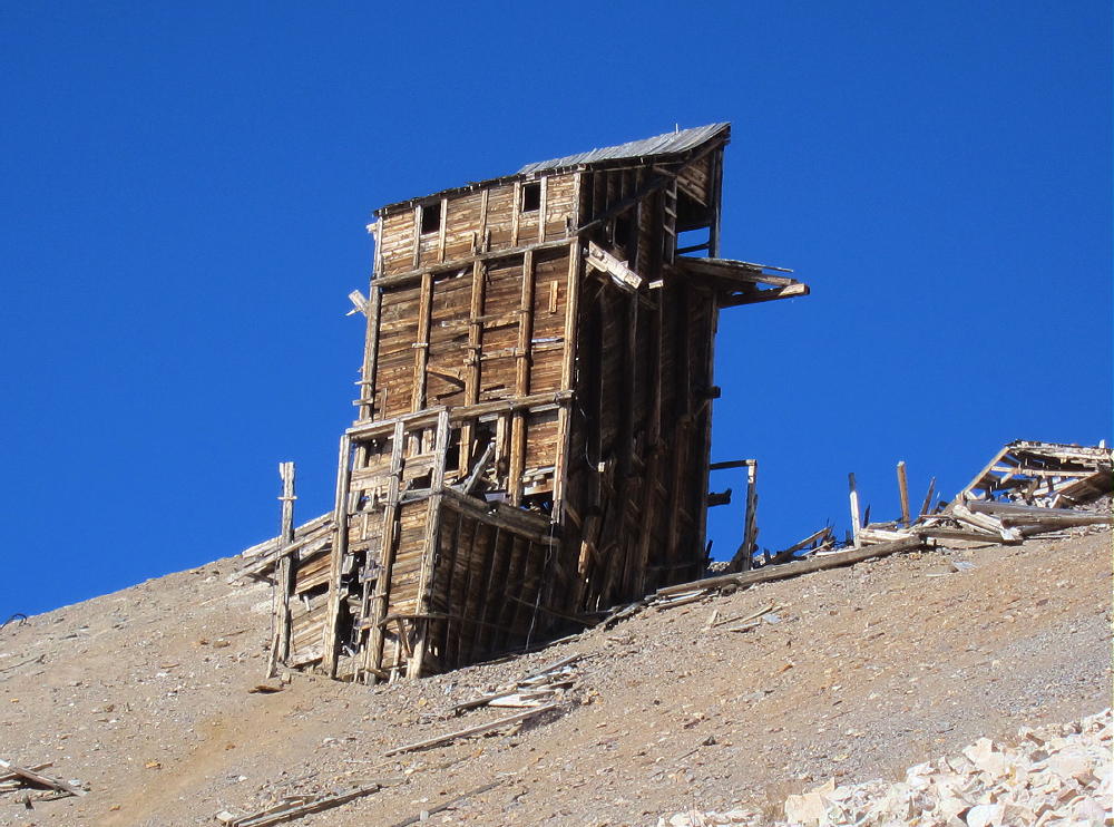
    The weathered remains of a house stand on the summit ridge about 1000 feet north of the peak. This house is within the activation zone, and the structure could be used for shelter from wind, but be careful of nails, etc.

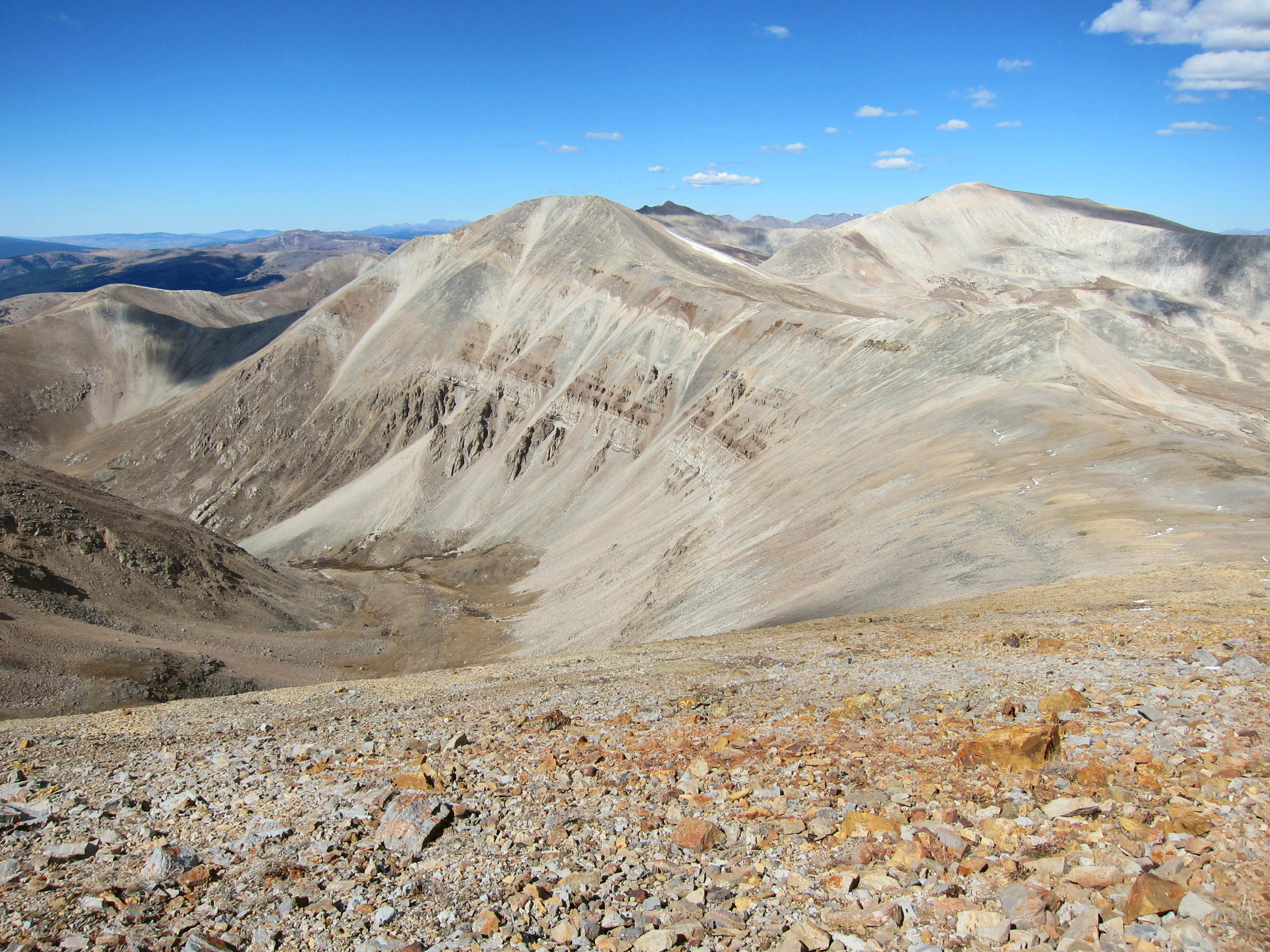
    The summit offers great views of numerous peaks and most of South Park. Mount Sheridan and Mount Sherman stand to the north, and other high peaks are visible along the top of the Mosquito Range in both directions.

    The Sawatch Range isn’t far away, with numerous 4000+M peaks to the west; and Pikes Peak stands out clearly in the southeast, 66 miles away. Dozens of SOTA peaks are visible.

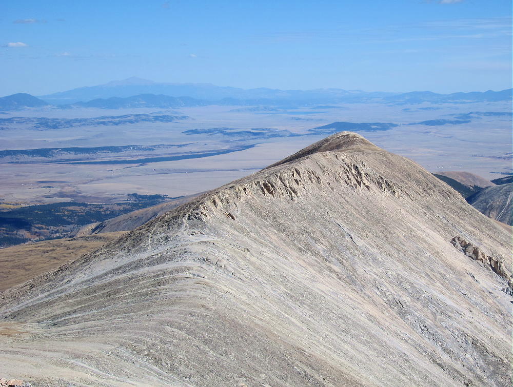
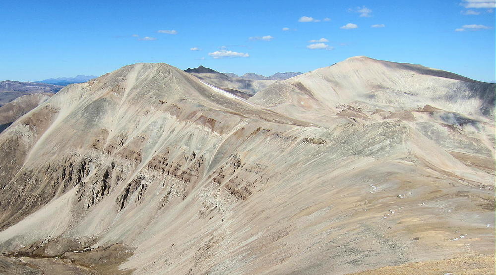
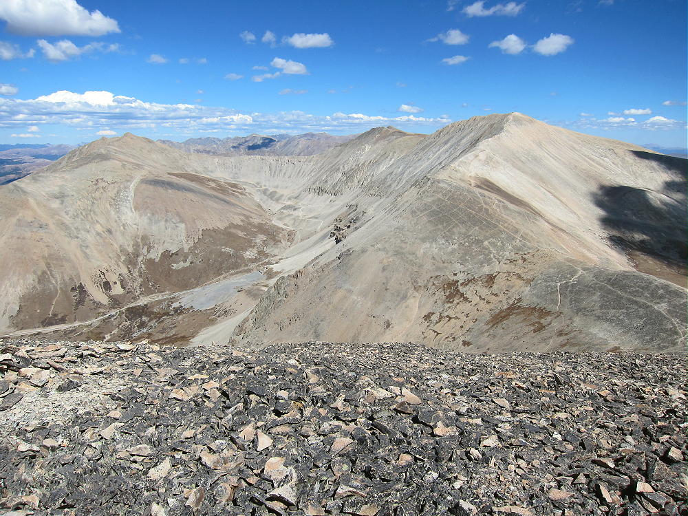
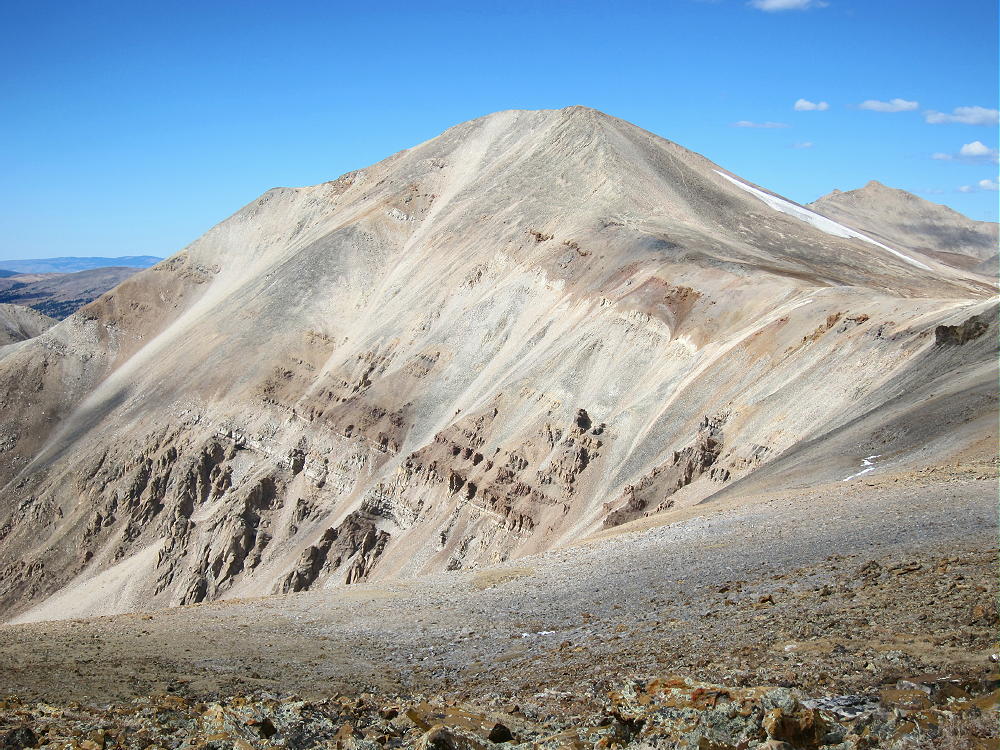
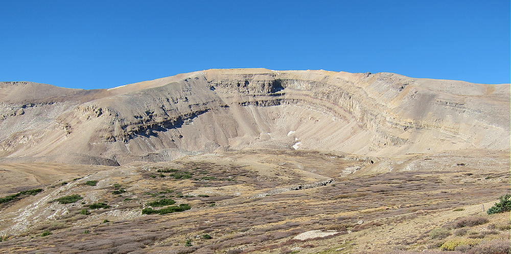
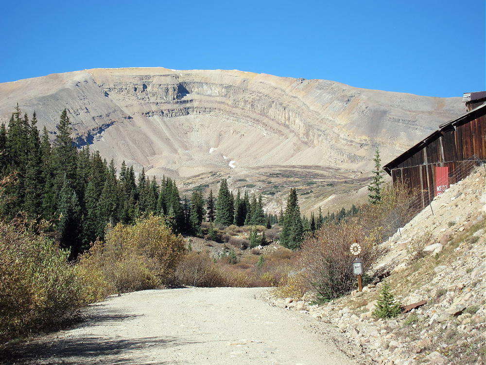
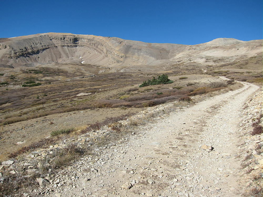
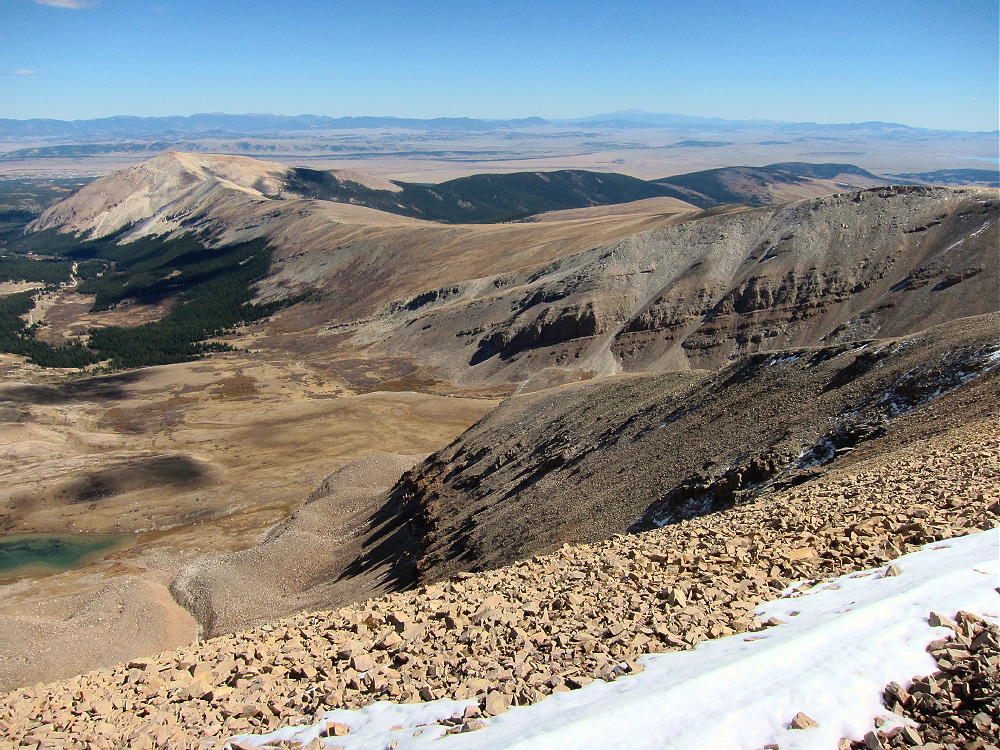
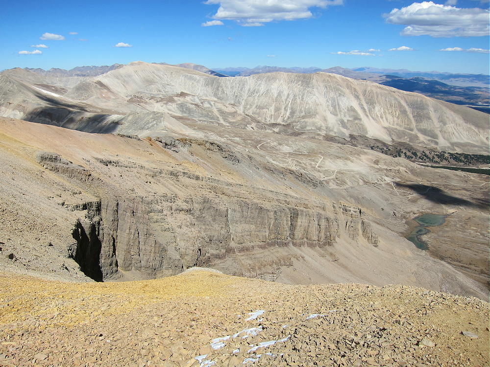
    The horseshoe-shaped mountain is spectacular when viewed both from the cirque, as well as from the summit. This mountain is actually a glacially-sculpted sedimentary hogback ridge. The tilted bedded rocks date from hundreds of millions of years ago, and there’s limestone right on top of the peak!

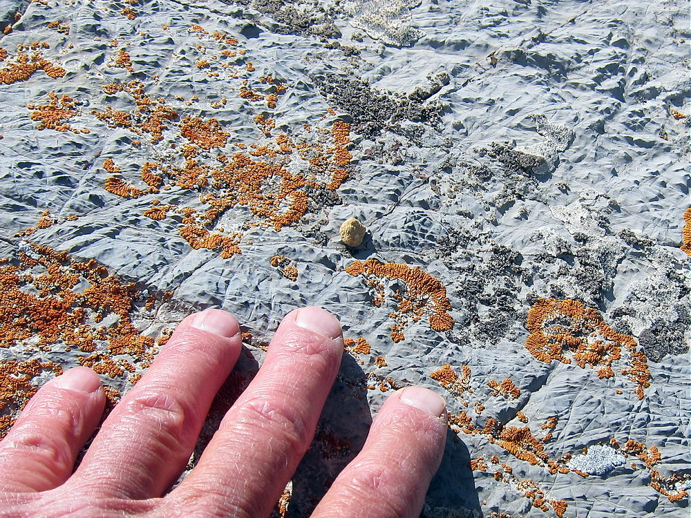
    The cirque is eroded deeply enough that the whole sequence of rocks is visible. There are many examples of mineralized rock along the route, as well as numerous mines and prospect holes all over the mountain. The colored sedimentary layers are visible for miles along the west side of the Mosquito Range, and elsewhere in the area.

    I saw no one when I was on the Horseshoe or in the Cirque. It’s amazing to visit and enjoy such a huge, spectacular place when everything is perfect. It was nice to have so many chasers calling on my tiny radio!

    Horseshoe Mountain is a SOTA Classic for all the reasons detailed above.

    73

    George
    KX0R


    ATTENTION

    !! WARNING !! There are old mountaineers, and
    bold mountaineers… there are no old-bold mountaineers.
    Hiking and mountain climbing are potentially hazardous activities particularly in Colorado with its extreme elevations. I am not accepting responsibility for any death or injury resulting from activations based on my trip reports. Proper training, experience, and personal capability assessment is required – enjoy!