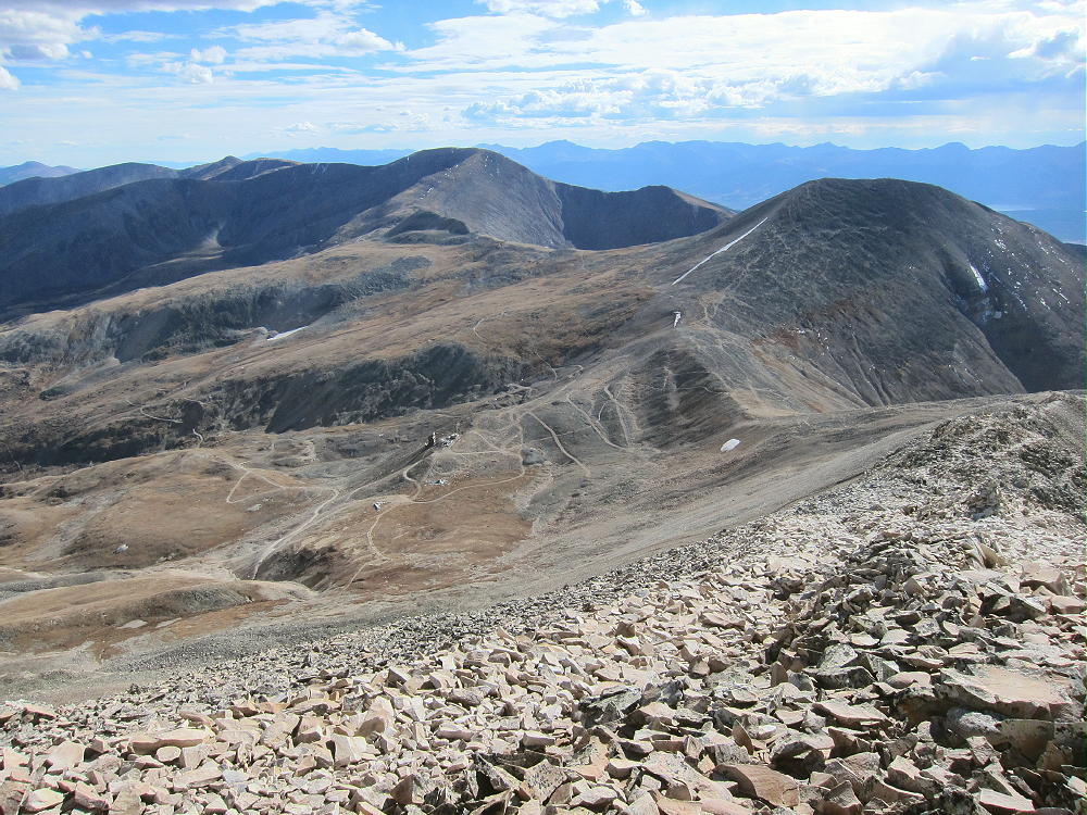
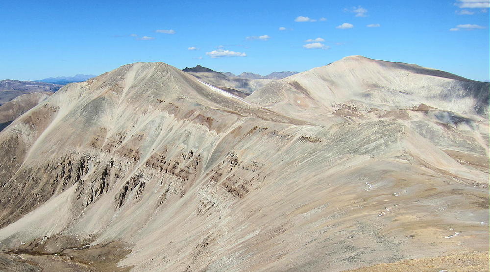
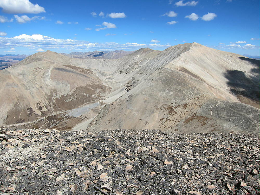
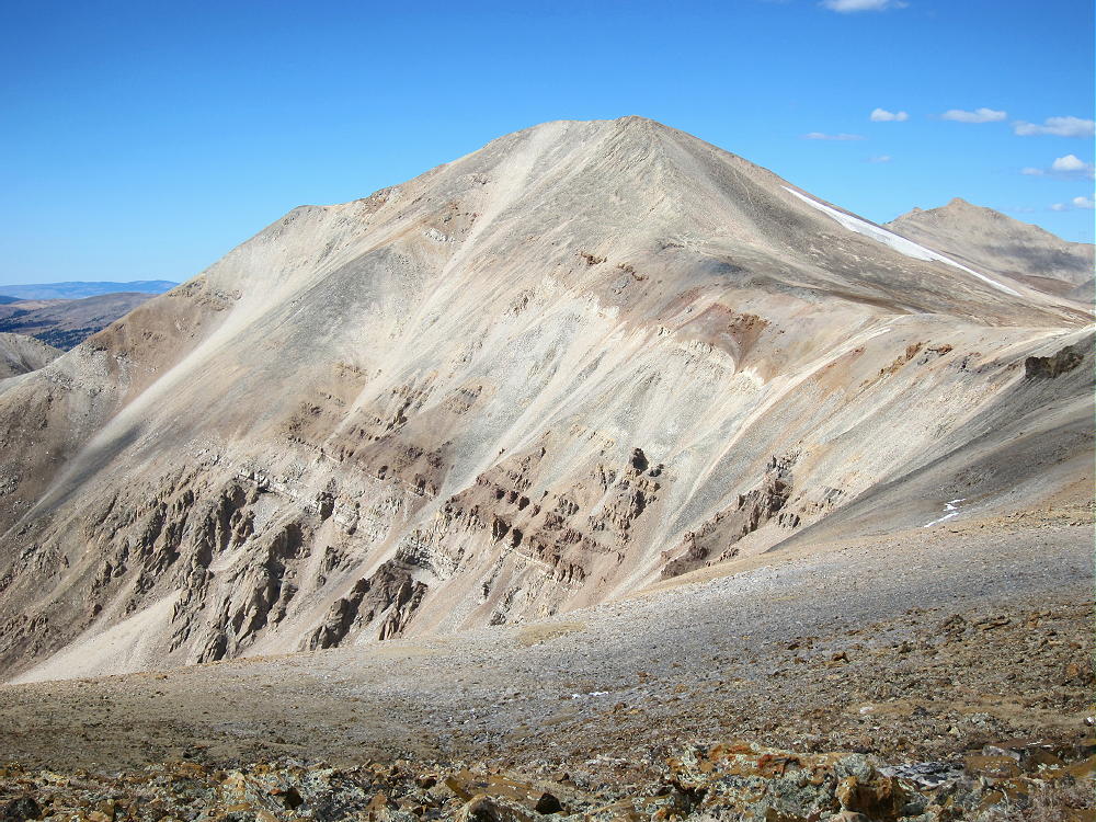
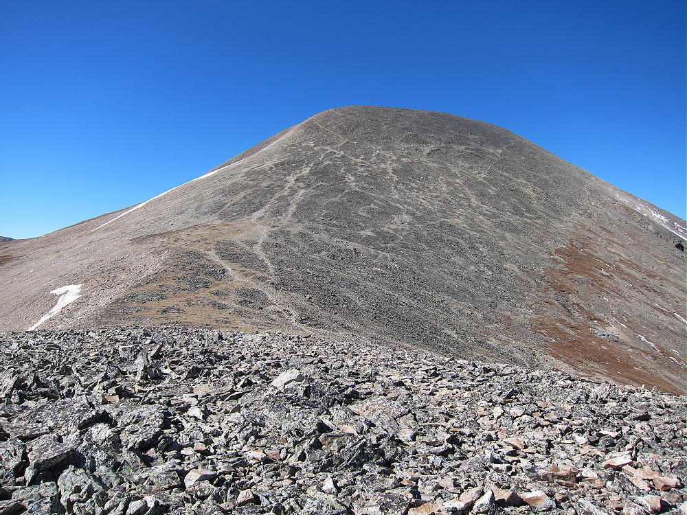
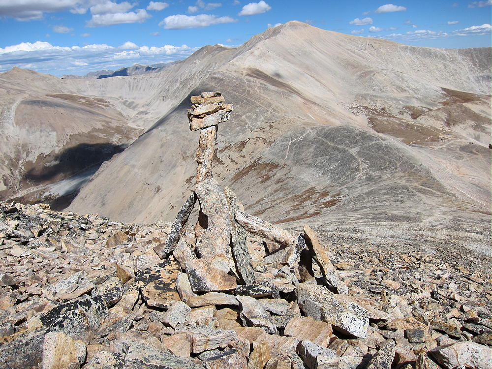
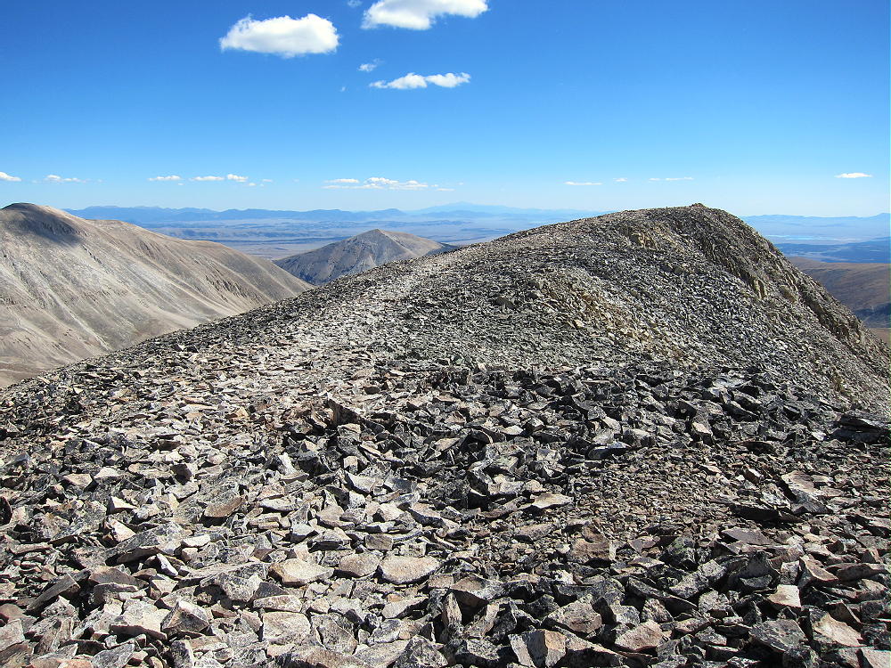
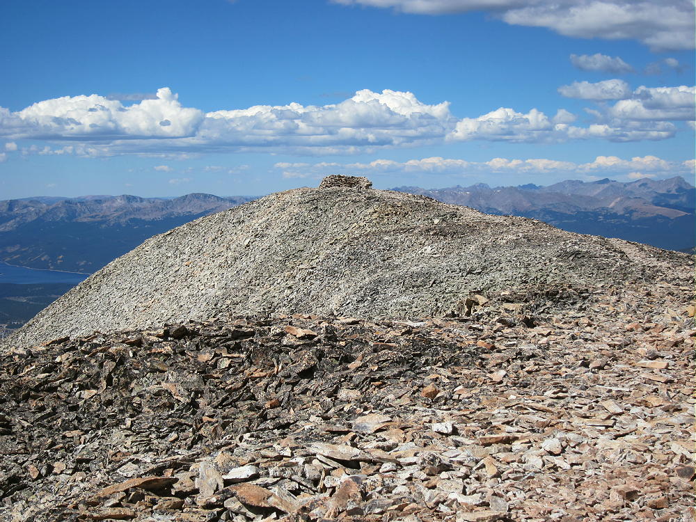
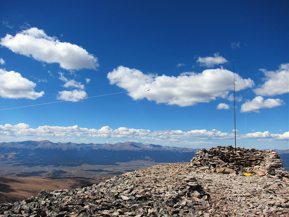
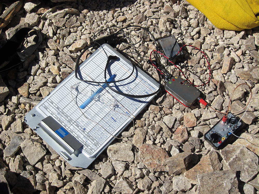
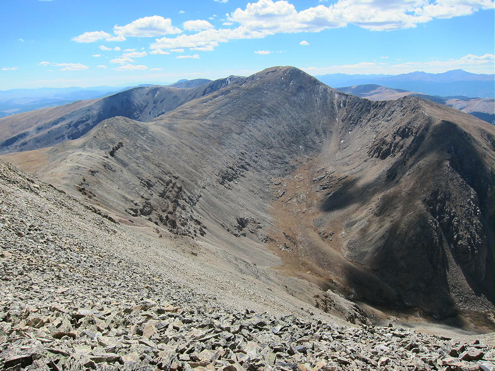
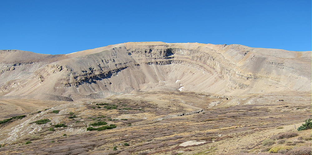
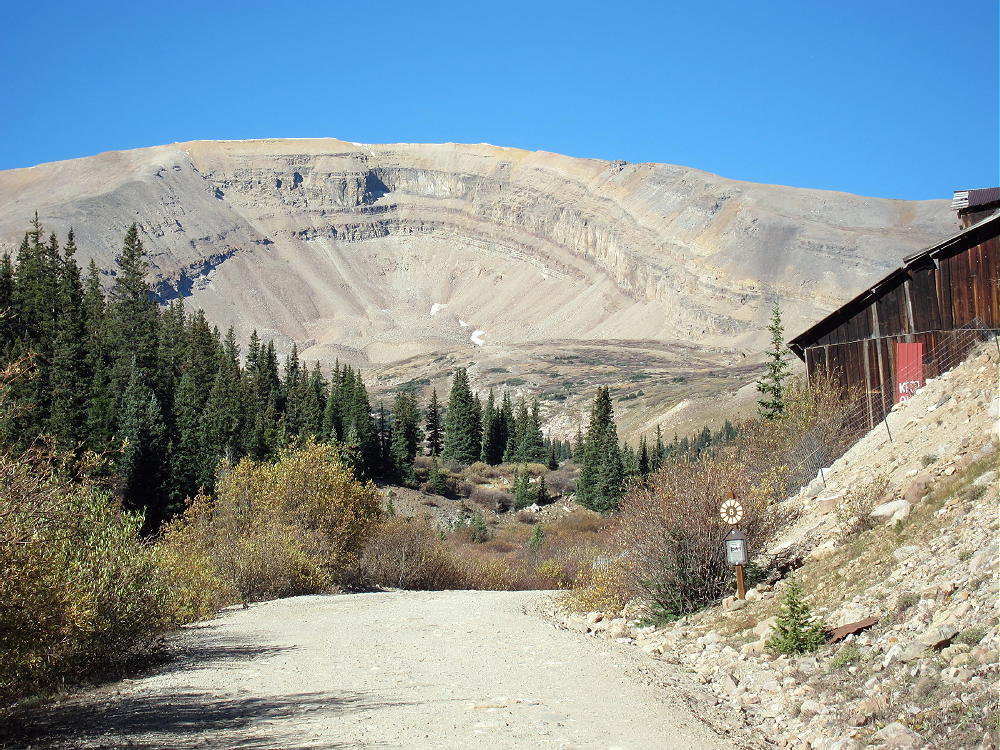
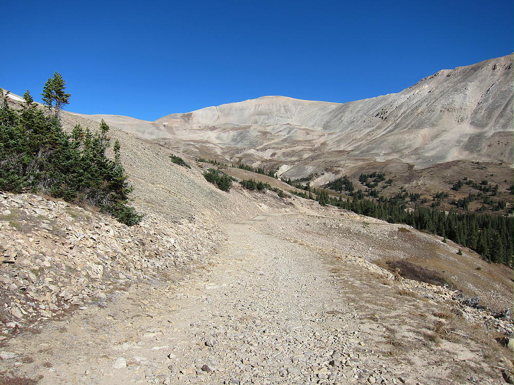
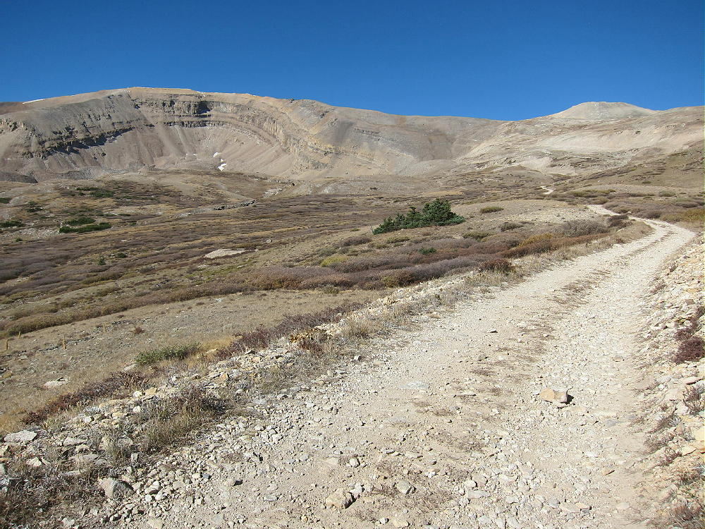
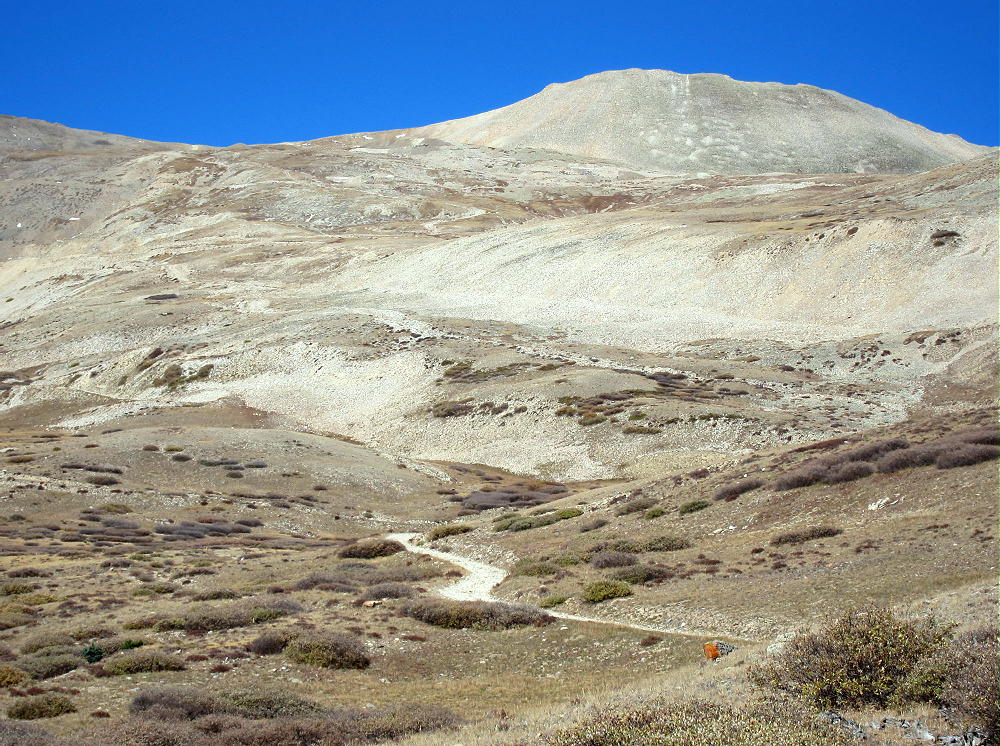
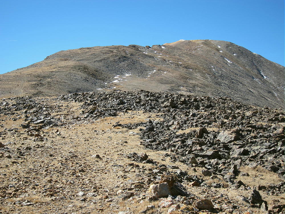
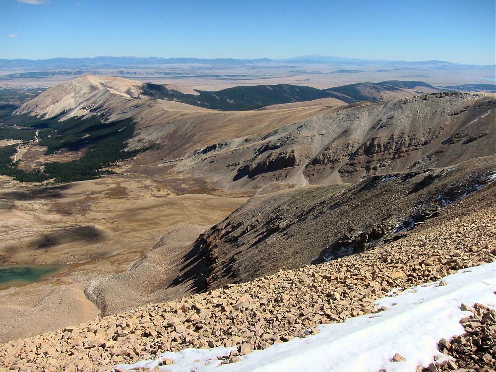
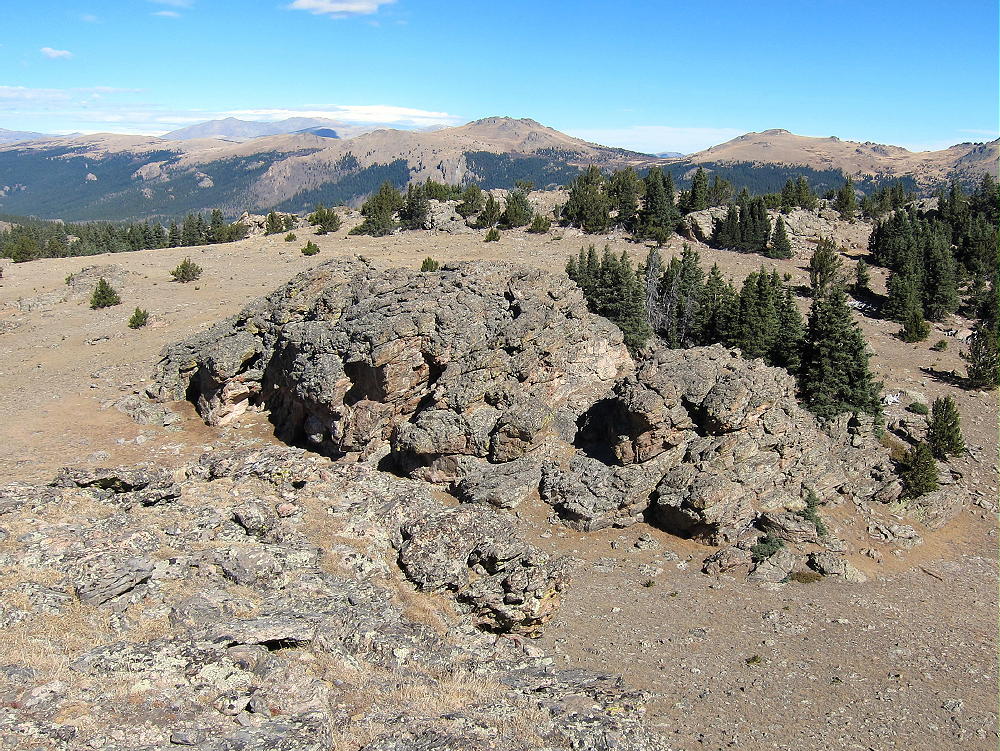
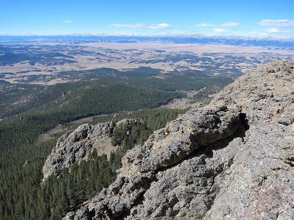
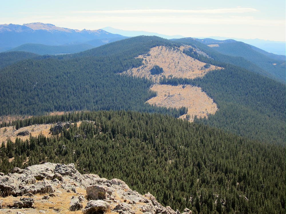
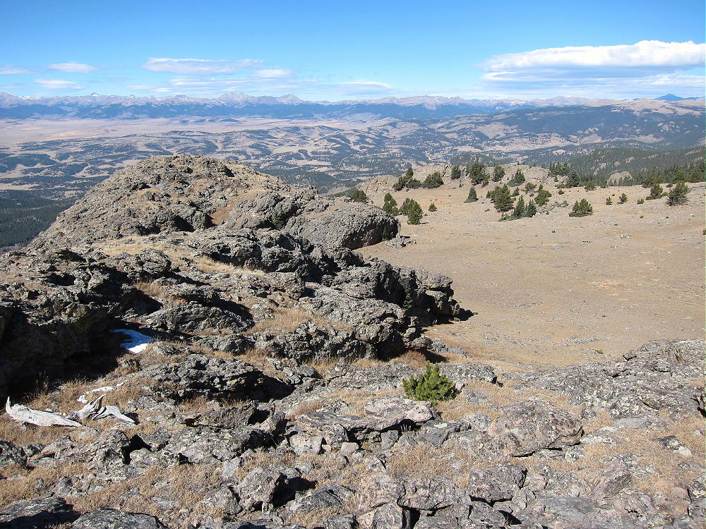
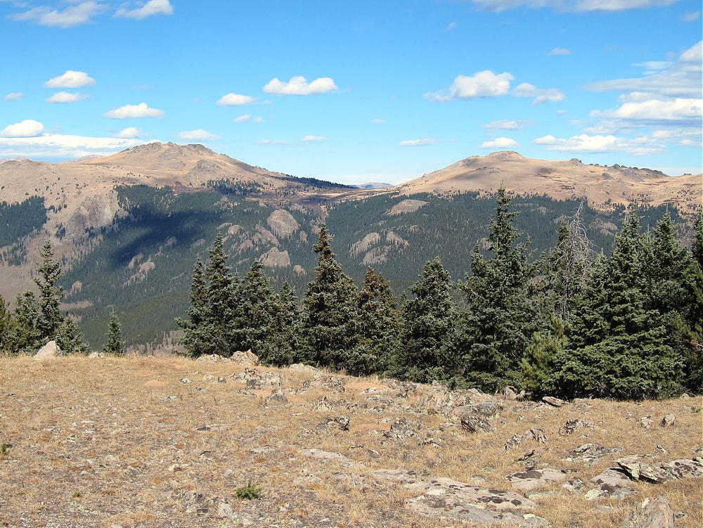
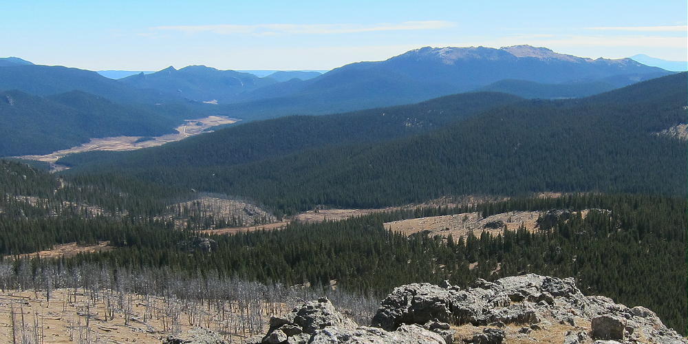
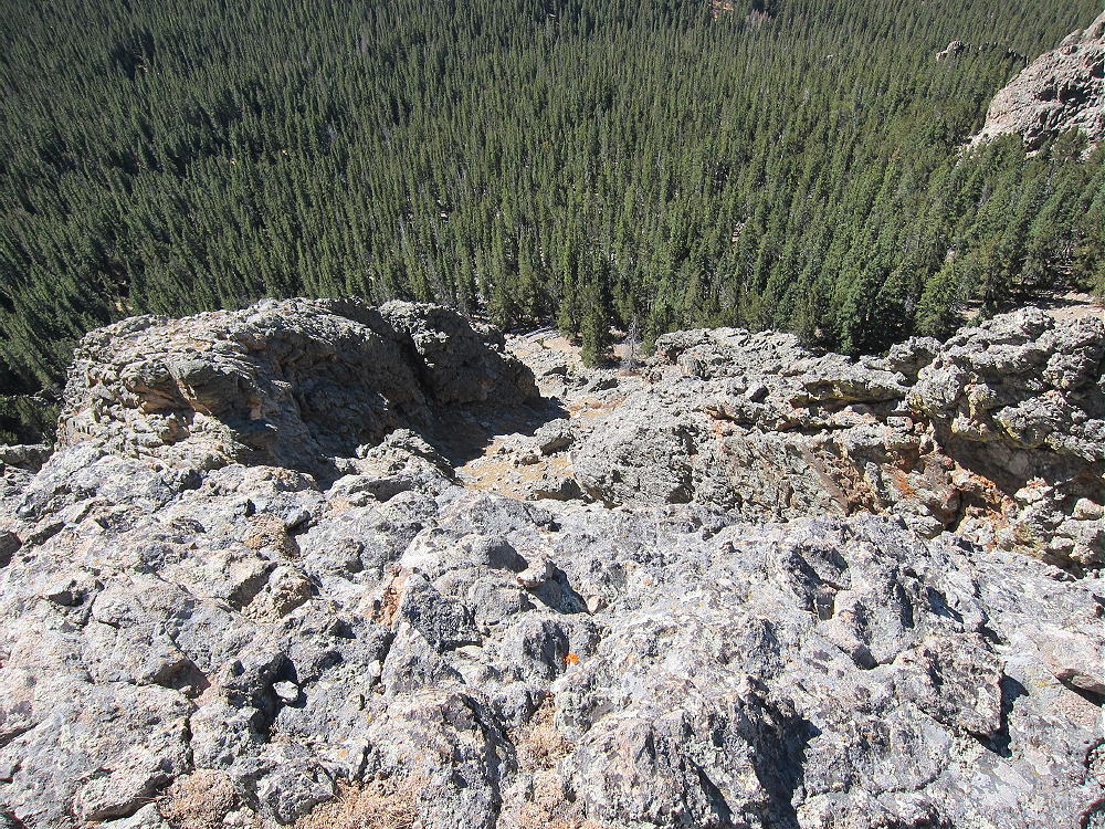
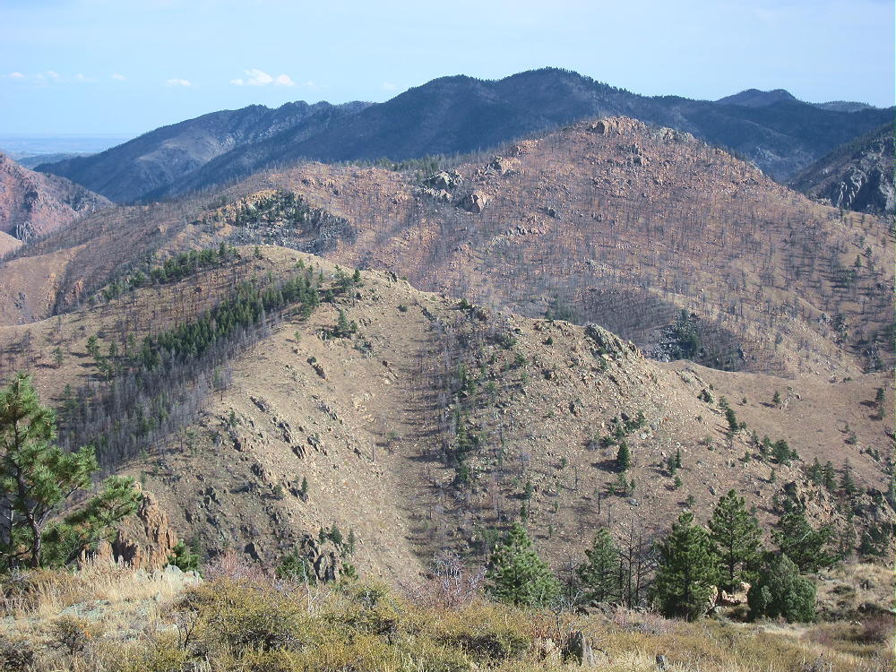
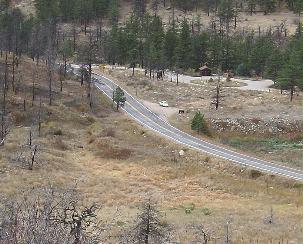
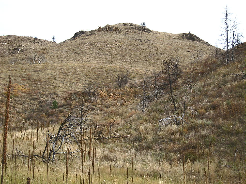
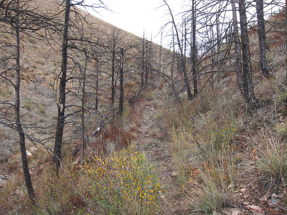
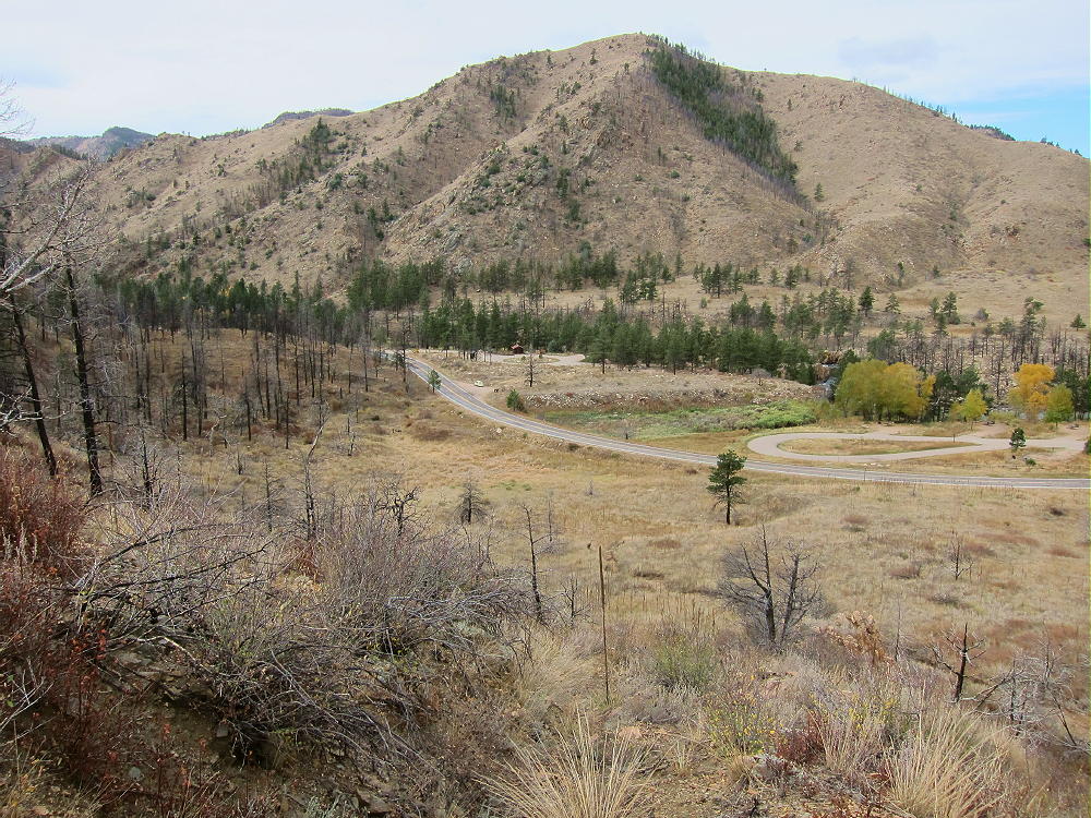
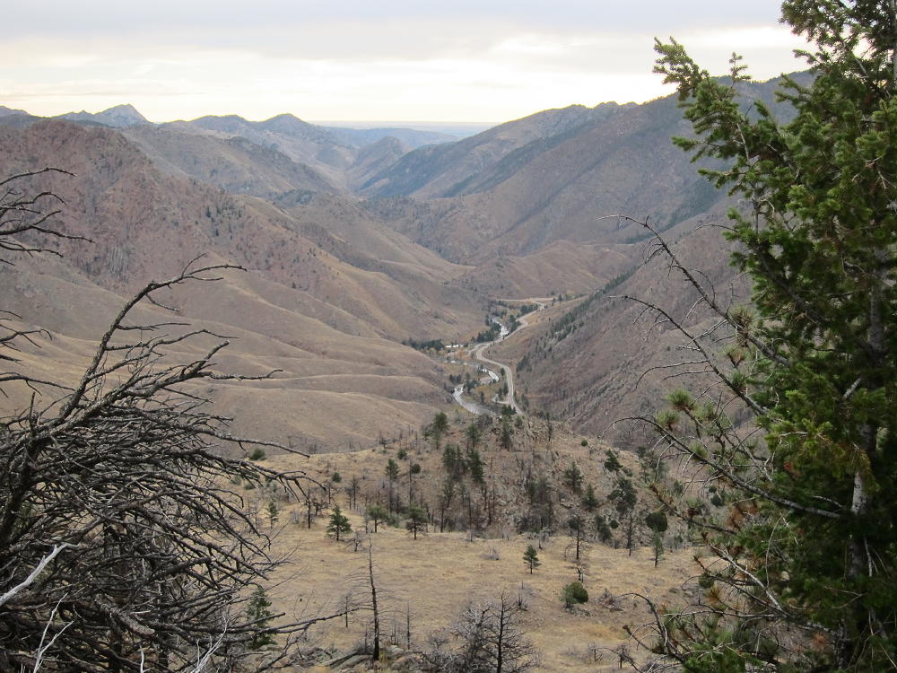
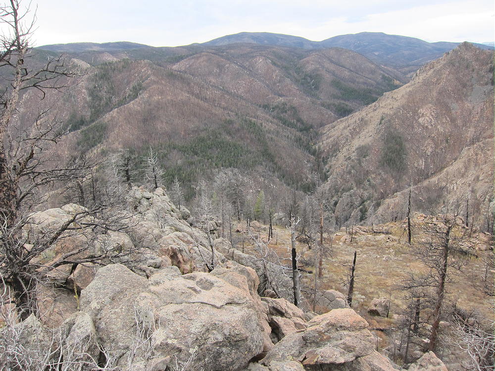
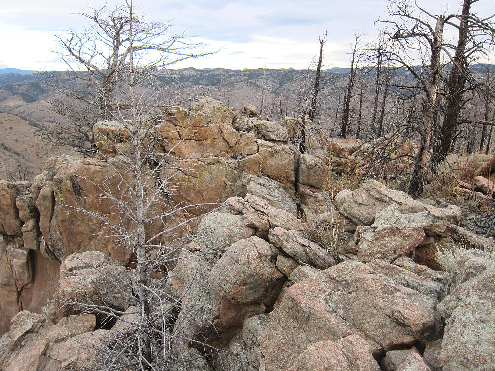
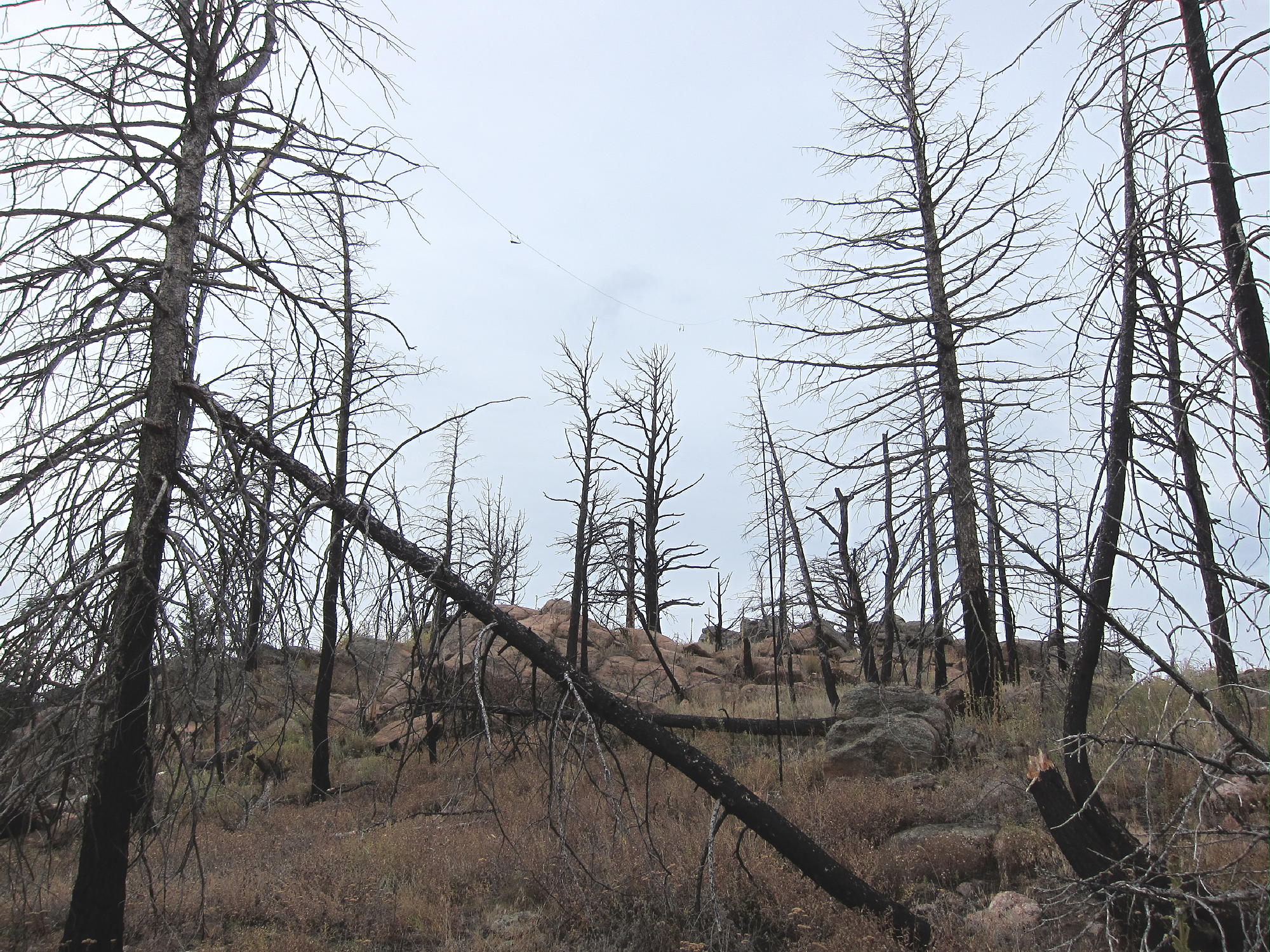
Please refer to Carey’s/KXØR excellent trip report for details.
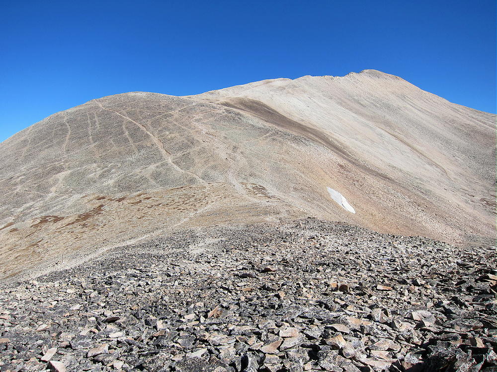
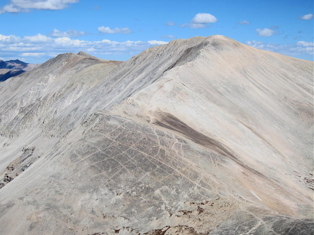
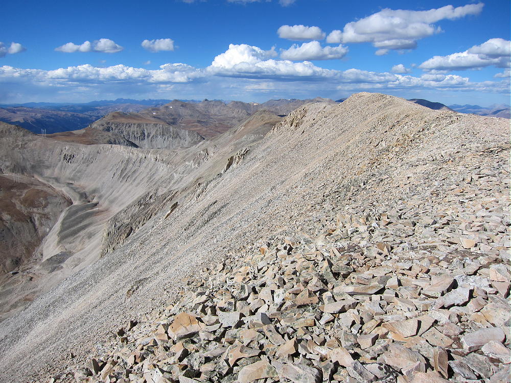
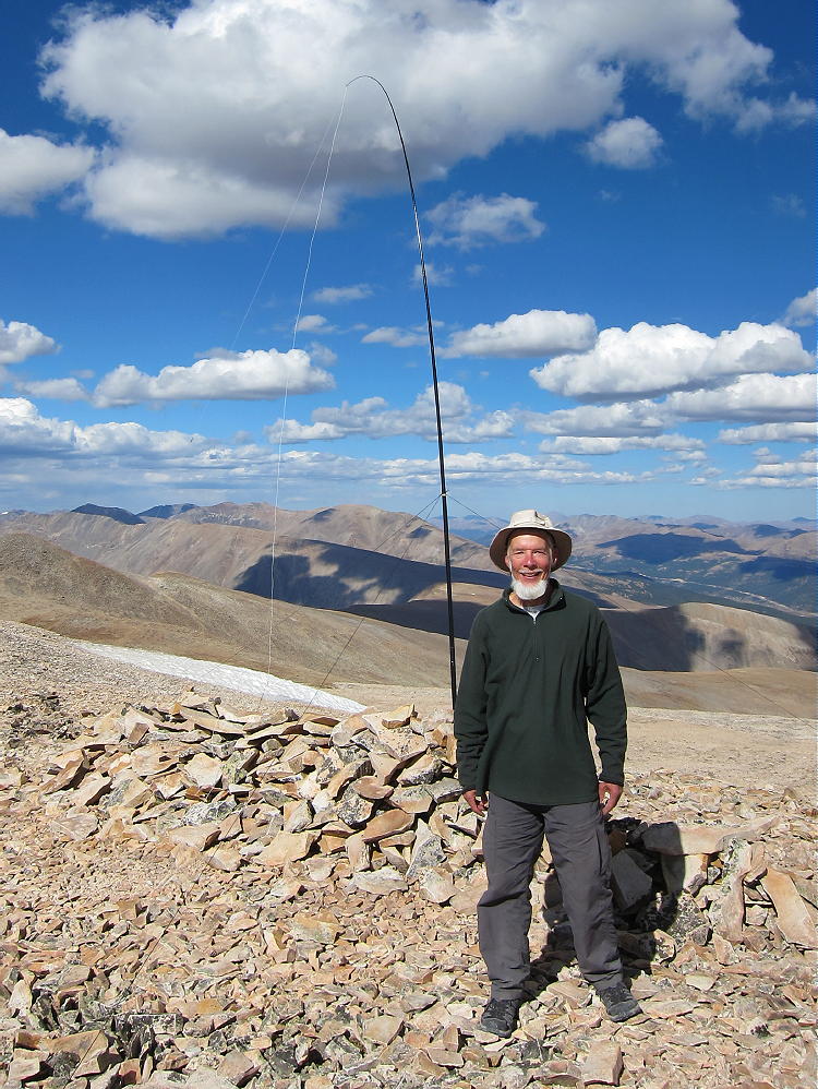
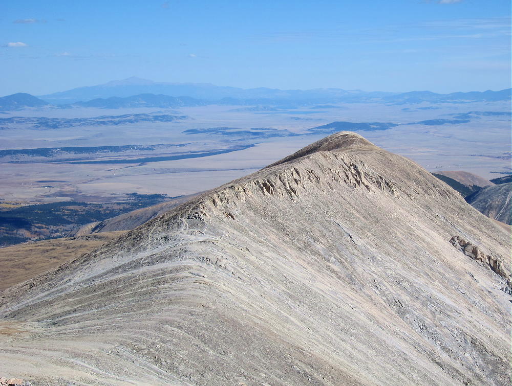
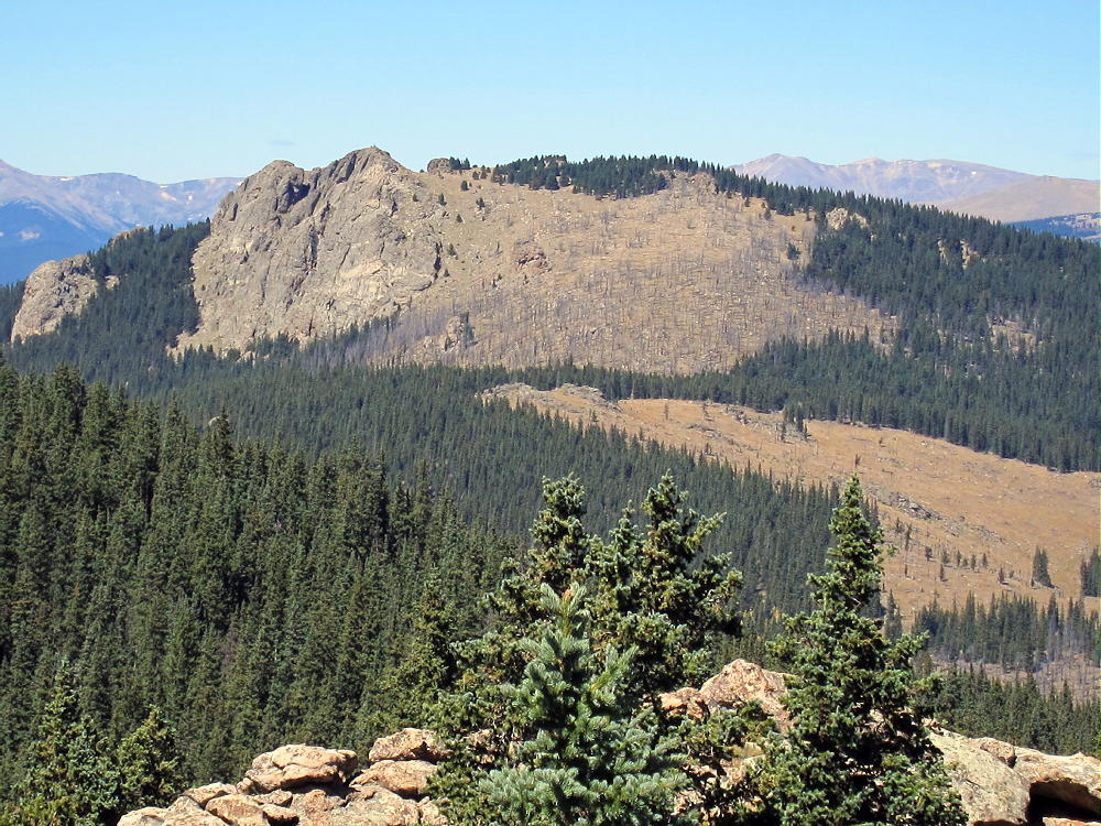
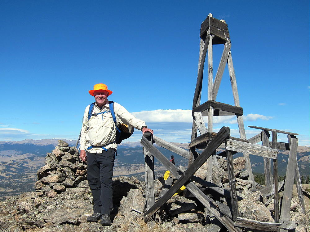
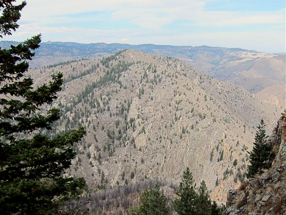
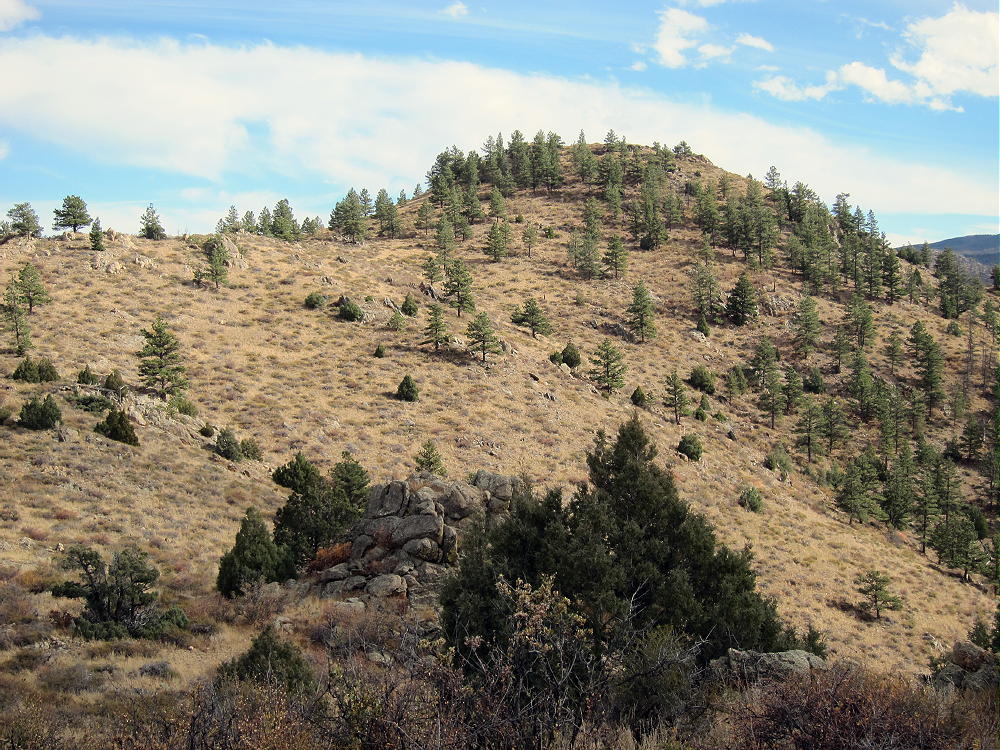
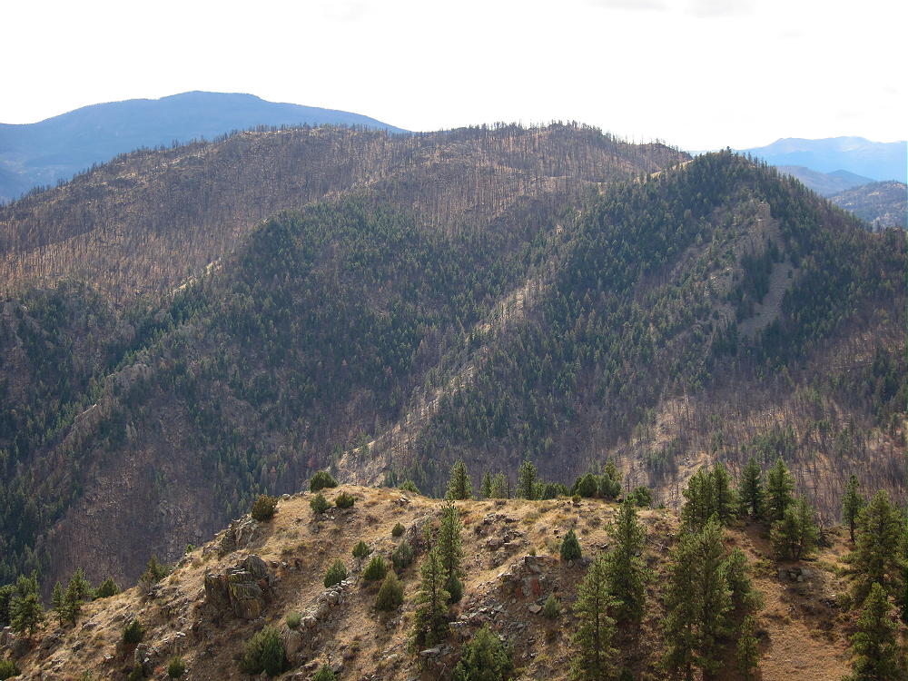
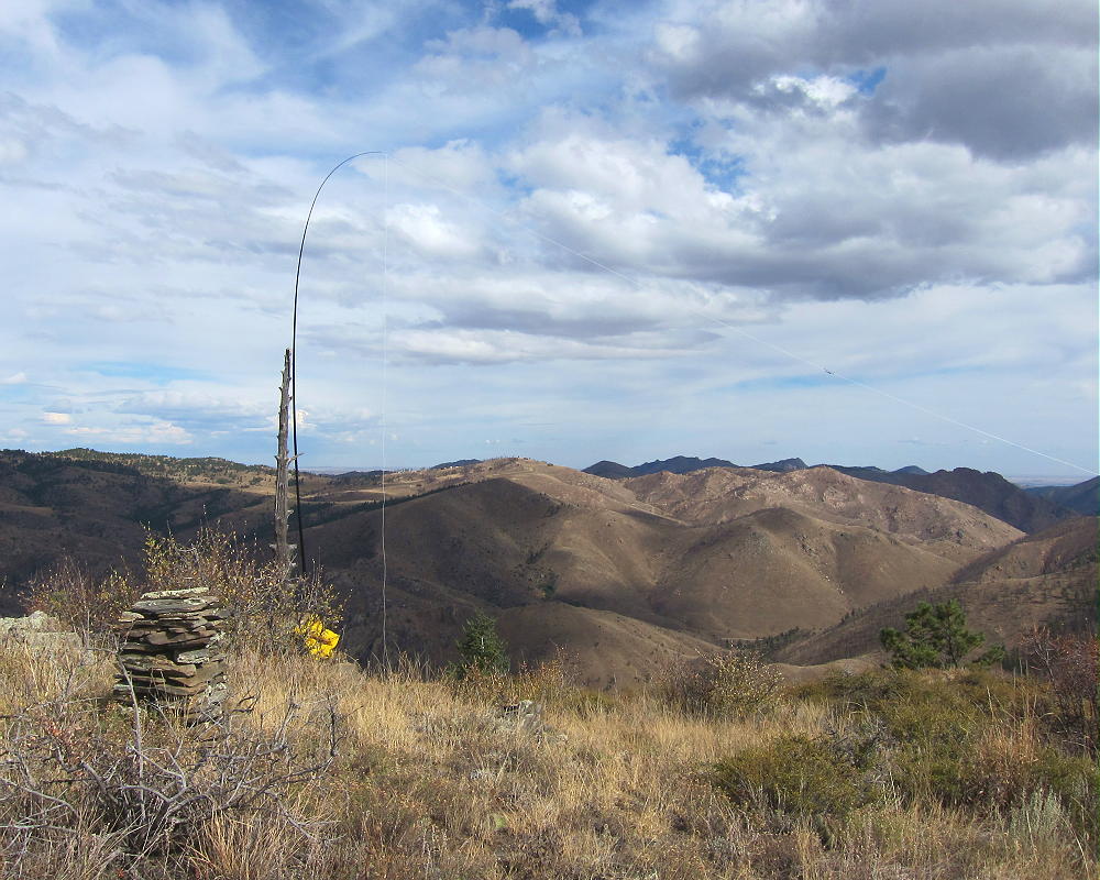
Just providing some additional impressions (video clips) from my recent trip to Hagues Peak using the standard route (Lawnlake via saddle between Fairchild and Hagues). Carey took a slightly different approach from Lawnlake to the summit.
Trailhead: 8550 ft / 2606 m Summit: 13560 ft / 4133 Elev. gain: 5010 ft / 1527 m Roundtrip: 18 mi / 29 km
If you would like to leave questions or comments, please do so through Youtube.
!! WARNING !! There are old mountaineers, and
bold mountaineers… there are no old-bold mountaineers.
Hiking and mountain climbing are potentially hazardous activities particularly in Colorado with its extreme elevations. I am not accepting responsibility for any death or injury resulting from activations based on my trip reports. Proper training, experience, and personal capability assessment is required – enjoy!
W0C/SP-084
Aspen Ridge
3274 m / 10740 ft
Nov 20, 2016
With N0TA
By KX0R
Aspen Ridge is a fun sub-alpine SOTA peak southeast of Buena Vista.
Key Points:
• San Isabel National Forest
• Accessible during warmer months – late spring, summer, fall
• Relatively easy climb and activation
• Beautiful scenery
• Fine HF site
• Private land on southeast side of summit ridge
• Access via a rough 2WD/4WD road
• ~ 1.8 miles round-trip
• ~ 450 vertical feet
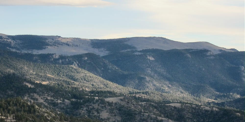
Aspen Ridge – from Green Mountain
Driving Directions:
• Drive west on Highway 285, and cross Kenosha Pass
• Continue through South Park to Antero Junction
• Stay on 285 and descend southwest toward Buena Vista
• Take FR 307 left, south, near Trout Creek
• Follow FR 307 for 1.3 miles
• Turn left on FR 187 and drive toward Castle Rock
• Continue south on 187 for 5.8 miles to a junction with FR 185
• Turn south on FR 185 – drive about 6 more miles total
• Continue south past Elk Mountain Ranch
• FR 185 climbs and becomes much rougher
• As the road climbs above 10,200 feet, Aspen Ridge is visible above to the southeast
• The road levels out just above 10,200 feet elevation
• While driving south above 10,200 feet, look for a small trail leading southeast – this is the trail you want to hike.
• Park near this trail, or perhaps a little further south
The Hike:
• Hike up the trail through a meadow and then up into aspen forest
• If you park at the saddle near 10,300 feet, hike northeast toward the ridge south of the summit, and intersect the trail in the aspens
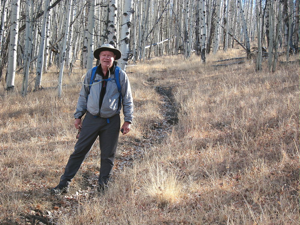
Aspen Ridge – N0TA on the Trail
• Don’t climb the sub-peak south of Aspen Ridge
• The trail goes up to the saddle south of the peak.
• It then leads down into private land to the east.
• The land is fenced and posted from near the ridge-top to the east.
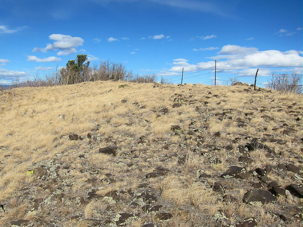
Aspen Ridge Fence – Private Land – Stay West of this Fence
• Stay on the west side of the fence, and go north along the ridge; or pick a route lower down, west of the ridge top, and continue toward the summit.
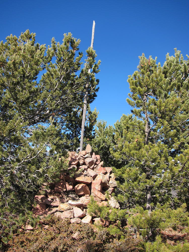
• Pass a large pile of stones marking a property corner and the county boundary.
• The entire ridge top is public land north of the stone pile.
• Continue north to the actual peak.
Additional Details:
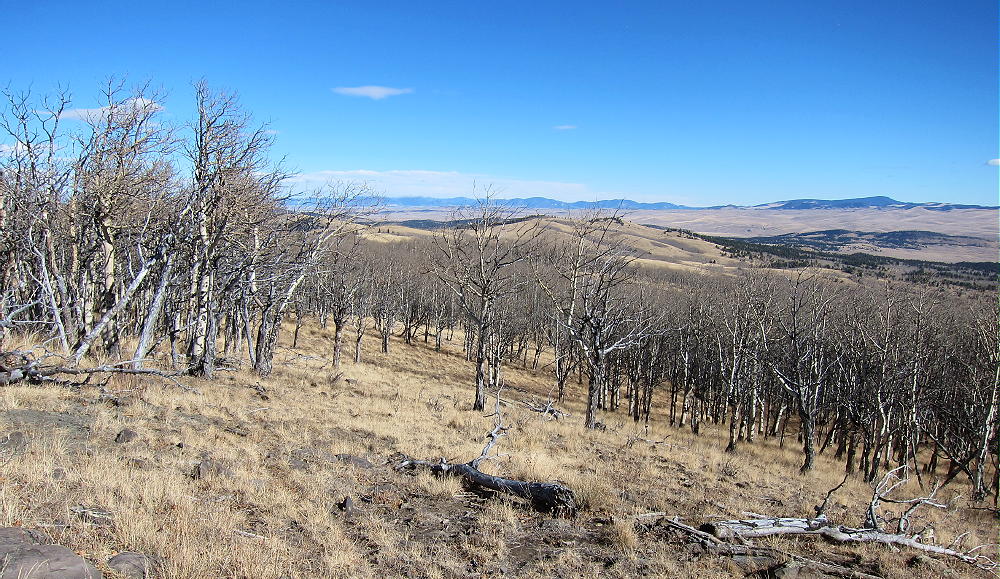
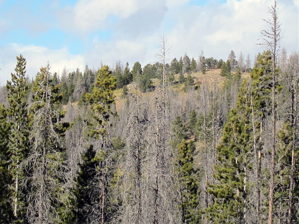
This trip would be superb during aspen-gold season! Huge aspen groves cover the west side of the summit, as well as several miles all along the road.
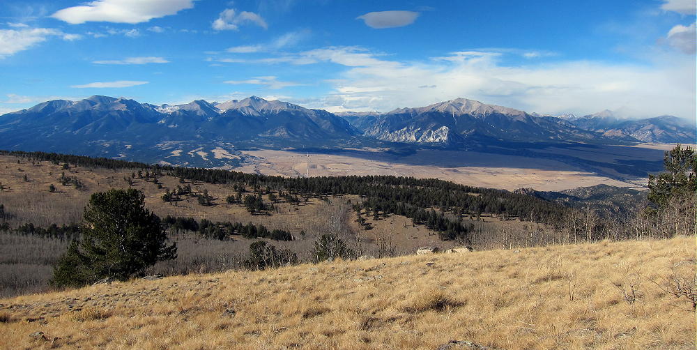
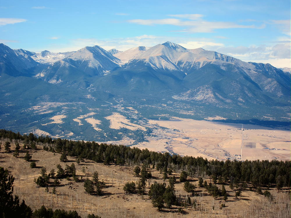
The prominent summit is spectacular, with awesome views of the high Sawatch Range and Collegiate Peaks 14-ers about 15 miles to the west.
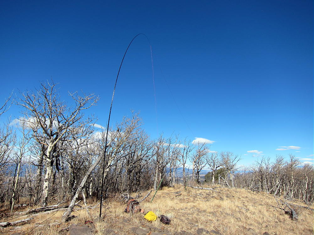
The ridge runs almost level for a long way – the SOTA Activation Zone may be ¼ mile long. Many convenient trees are available along the top, so it’s easy to run a wire north-south right on the crest. Some protection from wind is provided by the ridge-top, as well as the vegetation.
Aspen Ridge – KX0R Activation
Aspen Ridge has a low HF noise level – almost no development is nearby. HF signals can take off at a low angle, because various higher summits are distant. This is a nearly ideal summit for HF SOTA.
John N0TA was on simultaneously, and he also did well:
14 MHz CW 26 contacts
7 MHz CW 10 contacts
(36 total)
We were both running 5 watts. The solar flux was 77, and the geomagnetic field was relatively quiet.
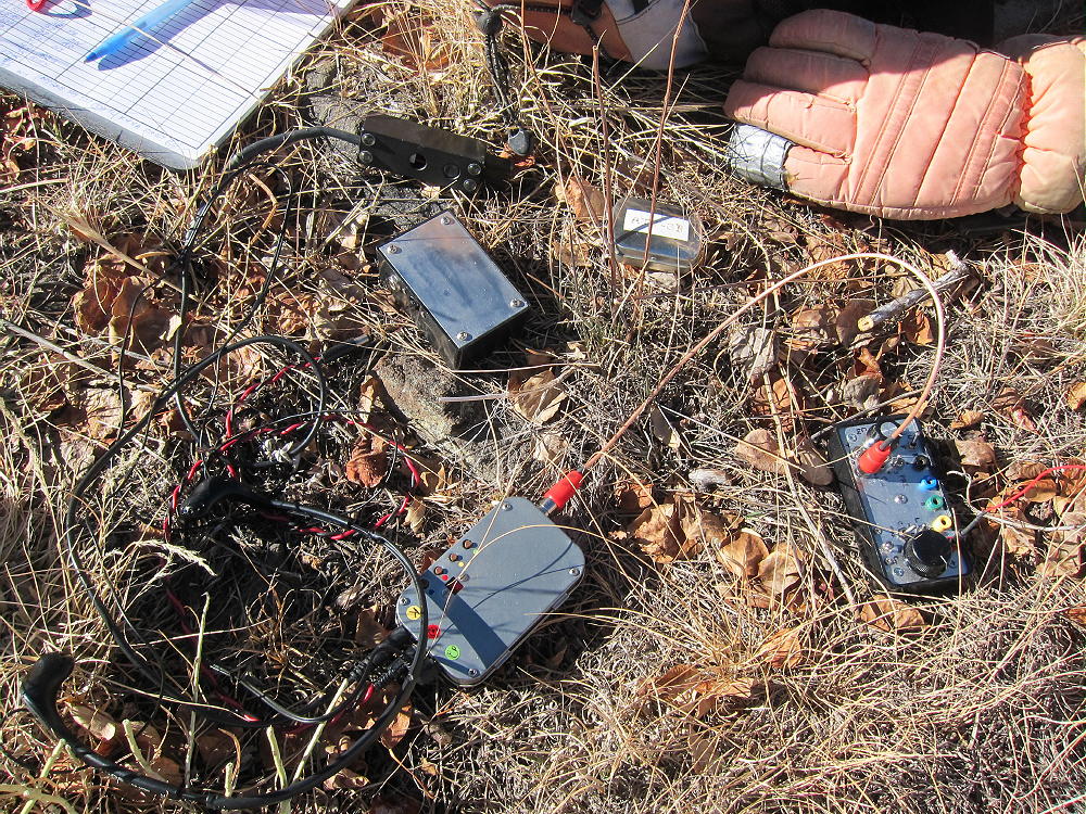
Aspen Ridge – KX0R QRP 5 Watt Radio Gear
I observed an amazing phenomenon while operating CW on 18 MHz. While calling CQ, I heard another station sending weakly on my exact frequency. Concerned about possible QRM, I stopped sending to listen. Instantly the other station also stopped – I heard nothing. I resumed sending CQ’s again, and the QRM resumed immediately. After a couple more repeats of this apparent interference, I sent a few dits, and I heard something come back. Soon it was apparent what was going on…Every time I sent, there was an apparent echo. I also could hear signals between my own dits and dahs.
I was hearing my own signals, propagating all the way around the world! The QSK in my ATS-3B rig is fast enough to hear part of what went around the long path.
Just when I realized I was hearing my own 5 watt signals traveling close to 25,000 miles, not QRM, other stations began calling me. I made 11 contacts on 17M, including ZL1BYZ, John, in New Zealand. Signals were quite strong on 17M – John was 579, I was 419; N1EU was 599, W4DOW was 599, etc.
I also heard beautiful echoes on many of the 17M signals! They had long path components, and it was a real thrill to hear the band so incredibly alive! Some of the echoes were strong enough to make the signals hard to copy. This wasn’t the first time I’ve heard echoes on strong signals, but I’d never heard my own signals before.
The low noise and excellent propagation from the summit of Aspen Ridge facilitated hearing the echoes. Unfortunately, such wonders may be rare as we descend into what remains of the current solar cycle.
Because the Aspen Ridge looks down into parts of the Arkansas Valley and South Park, VHF/UHF contacts may be made with stations in these areas. Many 2M contacts have been made from Aspen Ridge.
73
George
KX0R
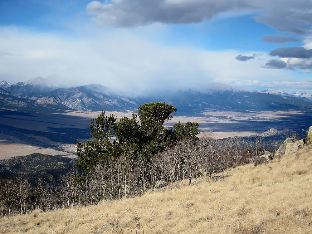
Aspen Ridge – Squalls near Mount Yale
!! WARNING !! There are old mountaineers, and bold mountaineers… there are no old-bold mountaineers.
Hiking and mountain climbing are potentially hazardous activities particularly in Colorado with its extreme elevations. I am not accepting responsibility for any death or injury resulting from activations based on my trip reports. Proper training, experience, and personal capability assessment is required – enjoy!
• Access via Roosevelt National Forest
• Dead Tree State Wildlife Area
• Gentle climb to a pleasant, prominent summit
• Nice scenery
• Fine HF site
• Long dirt road access
• Forest road runs close to the peak
• Google Maps don’t show the road access adequately
• Beware of hunters in fall
• ~ 1.6 miles round-trip
• ~ 250 vertical feet
Green Mountain – Summit, South Side
Driving Directions:
• Start up Highway 287 northwest of Fort Collins
• Drive about 23 miles from the northern edge of Fort Collins
• Turn west on Cherokee Park Road 80C
• This road is a pretty good 2WD dirt road
• It gets rougher and steeper as it climbs into the mountains
• Drive northwest on Road 80C for about 28 miles
• Turn north on FR 315 – the junction is marked by a sign.
• Drive northeast about 1.9 miles and ascend about 600 vertical feet
• FR 315 is a small 2WD road – too rough for many cars
• Park slightly west of the high point of the road, between 8940 and 9000 feet
• There’s no trail or marked trailhead
The Hike:
• The route is up the southeast slopes of Green Mountain
• Study the satellite image and the topo map
• GPS is strongly recommended for this hike
• The peak is the highest summit of many sub-peaks, several of which are above 9200 feet, on a long forested ridge running WSW-ENE
• Be sure you climb the correct summit
• Hike through meadows in a logged area, first north, and then west
• Short-cut through some thick remaining stands of trees, or go around them on the east side
• Climb the southeast side of the peak
• This route’s fairly open, with good game trails running right up to the top
• A huge rock cairn and a benchmark mark the summit.
• If you don’t see the cairn, you’re not at the right summit!
Green Mountain – Huge Summit Cairn
Additional Details:
This is another remote, seldom-climbed Colorado summit that provides a fine experience and a good SOTA activation. The most challenging task is locating the peak. The summit is listed as Dead Tree Benchmark on some maps. The southern approach to the peak is from the Roosevelt National Forest. The peak itself may be in the Dead Tree State Wildlife Area. It’s not posted.
Green Mountain is only 2-1/2 miles from Wyoming. There are fine views of northern Colorado and southeast Wyoming.
Green Mountain – View Northeast
Green Mountain – View Northwest across Sub-Peak to Bull Mountain
There’s no development nearby, and the RF noise level is very low. The SOTA Activation Zone is large and pleasant. Good spots for setting up gear are available near the top, as well as on the ridge.
Green Mountain – KX0R SOTA Activation
Green Mountain – KX0R Radio Gear
Many good trees grow up there, and shelter from the wind is easy to find. The day we climbed Green Mountain, it was cool and windy, but we were both comfortable during our joint activation – we set up our gear in sunny, sheltered spots.
Green Mountain – N0TA Logging CW Contacts
Green Mountain – N0TA Sending CW
The area around Green Mountain has many deer and elk, as well as many hunters in the fall. Definitely wear safety orange if you go there during hunting season.
This is a good summit to combine with nearby W0C/FR-183, 8740, for a dual activation with little extra driving.
73
George
KX0R
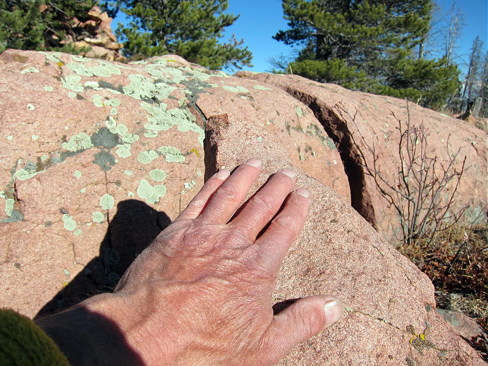
Green Mountain – Pink Granite Bedrock
!! WARNING !! There are old mountaineers, and bold mountaineers… there are no old-bold mountaineers.
Hiking and mountain climbing are potentially hazardous activities particularly in Colorado with its extreme elevations. I am not accepting responsibility for any death or injury resulting from activations based on my trip reports. Proper training, experience, and personal capability assessment is required – enjoy!
W7U/SJ-032
La Sal Benchmark
2197 m / 7207 ft
Nov 28, 2016
By KX0R
La Sal Benchmark is an accessible SOTA peak about 27 miles southeast of Moab, UT. The prominent summit is not difficult to climb.
Key Points:
• The mountain top is BLM land
• Hogback ridge – tilted mesa – runs for miles
• Somewhat wild area on top – pinion/juniper forest and bushes
• Seldom visited by people
• Considerable development east of the mountain – uranium mines and ponds, old buildings, machines, and homes
• The land is used for cattle, but it’s not posted.
• Access via paved County Highway 113 from up north, near La Sal
• Area north of the summit is posted
• My “trailhead” access was along Homestake Road 114, southeast of the summit
• Trailhead elevation ~ 6920 ft
• ~ 1.0 mile round-trip
• ~ 300 vertical feet
• Ascent requires about 25 minutes
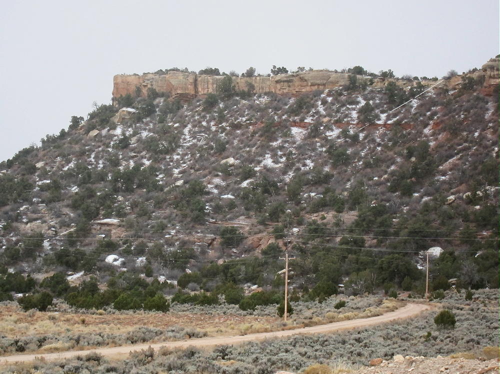
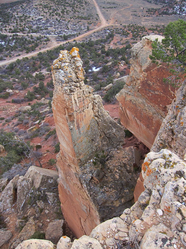
La Sal Benchmark – Summit Cliffs
Driving Directions from central Moab:
• Head south on Highway 191 and drive about 20 miles
• Turn east on Highway 46 toward La Sal
• Drive about 6.5 miles
• Turn south on CR 113 about a mile west of La Sal
• CR 113 is a pretty good paved road
• Go south 5.0 miles on CR 113
• Turn right on small 2WD dirt road CR 114, Homestake Road
La Sal Benchmark – Summit, Cliffs, and Pipeline, North Side above CR 114
• Drive southwest and then south about 0.8 mile total
• Part just north of the stock tank, near where CR 302 heads off to the southwest
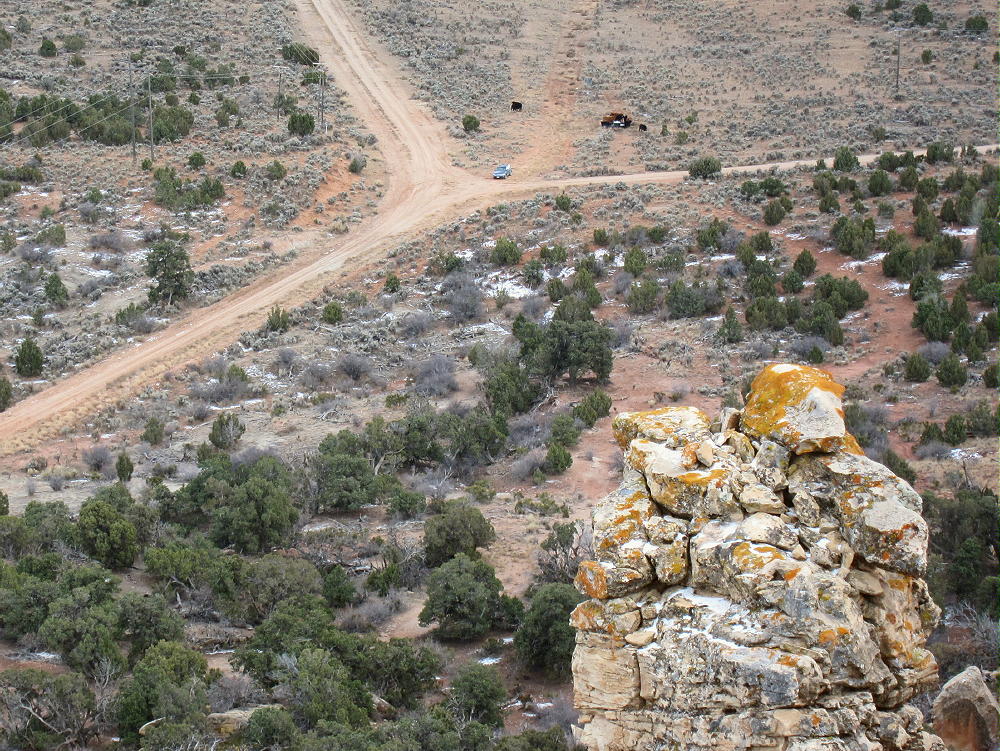
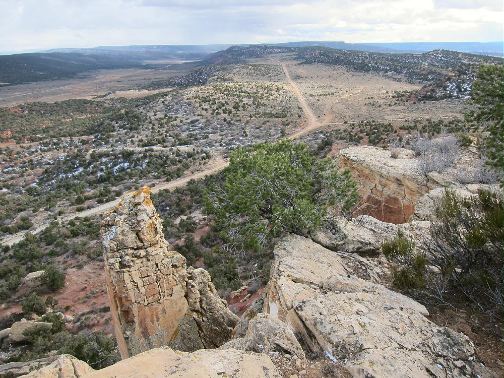
La Sal Benchmark – Summit View to Parking Spot at Road Fork and Stock Tank
The Hike:
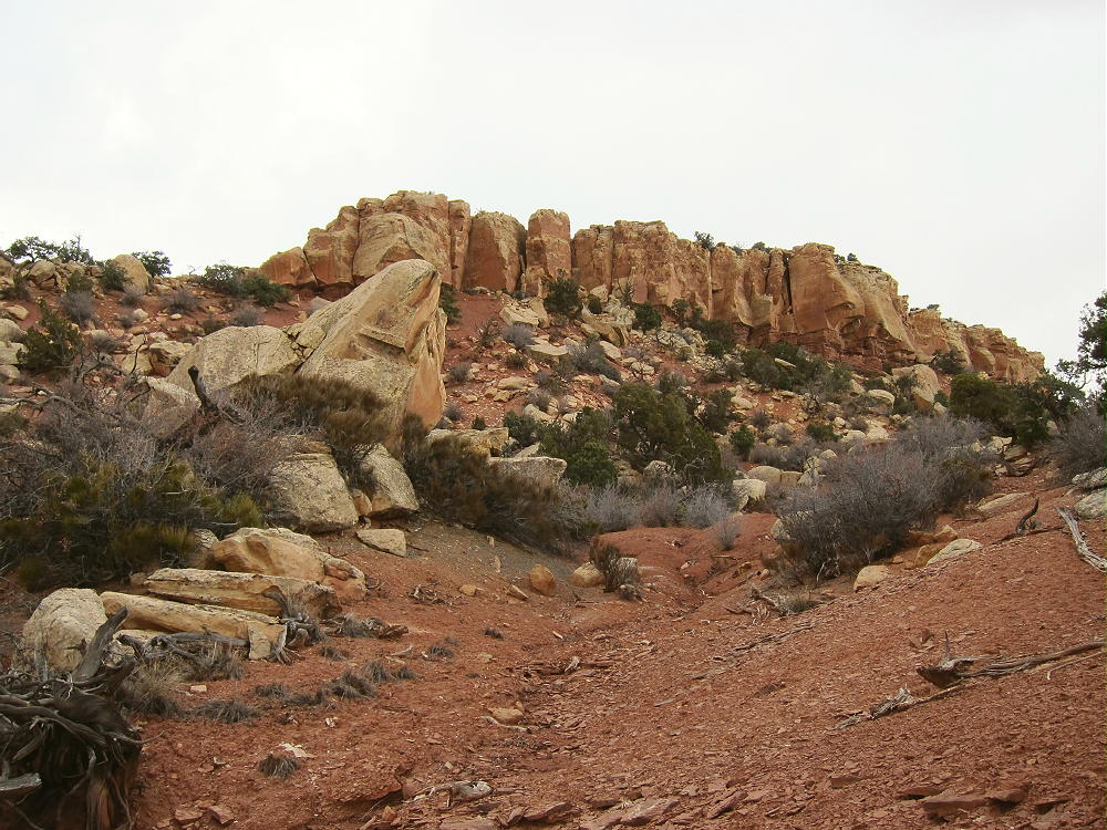
From the parking spot, hike northwest up toward the ridge south of the summit. Note that the summit ridge is mostly a cliff-line, much like a wall. It’s impractical to climb up most of this outcrop. Instead, hike up to the obvious saddle in the cliff, about 1000 feet southwest of the summit.
La Sal Benchmark – Route up through Cliff at Upper Left
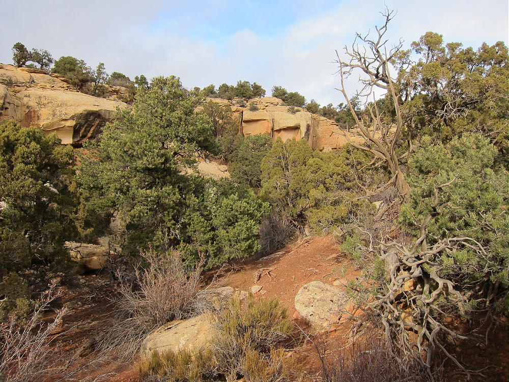
When I climbed up to this saddle, I thought the ridge route on the rocks looked tricky, so I went northwest and down into the little gulch west of the ridge rocks. I then followed the gulch most of the way northeast and up to the summit. It’s brushy but not difficult.
La Sal Benchmark – Route up Gulch
It might be possible to approach the summit from the northwest via CR 116 and BLM 1141 jeep road. I didn’t try this, but the route is certainly visible on the Google map and satellite image. If these roads are open and OK, access to the summit might be easier than the off-trail route I took from CR 113.
There also appears to be a jeep road southwest of the summit leading north from CR 302. This appears to connect with BLM 1141 not far northwest of the summit. Whether open to driving or not, this route is likely OK to hike.
Avoid trying to ascend the cliffs just east of the summit, or anywhere on the northeast or north side of the peak. The only conveniently accessible break in the cliff wall is described above!
La Sal Benchmark – Summit View off Cliffs
Note that land along Road 113, well north of the peak, is clearly posted “No Trespassing”, etc.
Useful Details:
Thanks to Fred WS0TA for his first SOTA activation of La Sal Benchmark!
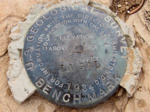
La Sal Benchmark – USGS Marker from 1934
The summit’s rocky with great views of the entire area.
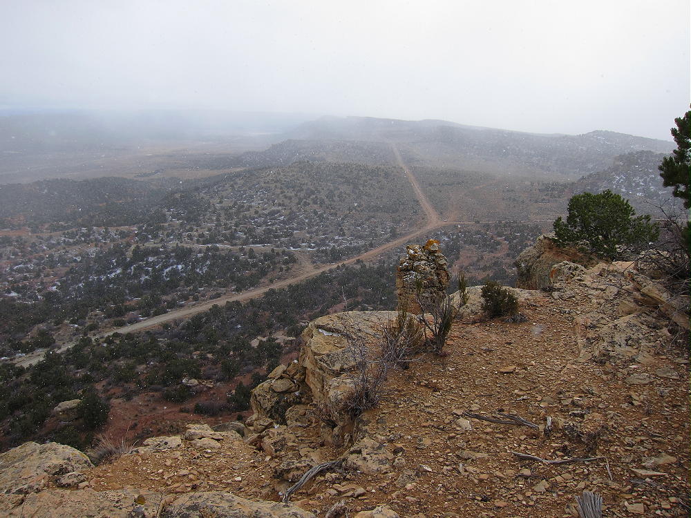
La Sal Benchmark – Summit View South – Road 114
There are good shelter trees, and the SOTA Activation Zone is large. When I was there, the summit area was inhabited by large black cows. Several snow squalls came through as I was setting up my gear, but the activation went well.
La Sal Benchmark – Snow Showers along Road 114
La Sal Benchmark is a fine radio site – the HF noise level is low, despite power lines nearby along CR 114. Propagation is not affected significantly by any nearby mountains.
In spite of the cows, snow showers, and frigid weather, I made 47 CW contacts on 7-10-14-18 MHz. One contact was summit-to-summit (S2S) on 14 MHz with KE5AKL on W5T/DW-018. I ran 5W and stayed on the air for almost an hour.
La Sal Benchmark – KX0R SOTA Activation
La Sal Benchmark – KX0R Radio Gear
Making random VHF or UHF contacts would be unlikely from this summit, due to its isolation from significant population centers; however, Moab and Monticello may be within range of the peak.
Please look at the satellite image for these details:
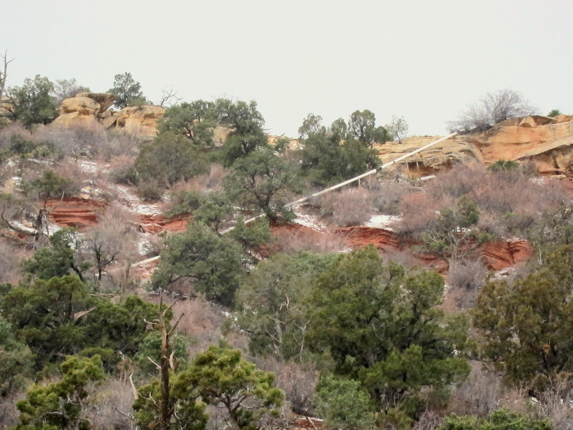
A white oil pipeline crosses the summit ridge about 200 yards north of the summit:
La Sal Benchmark – Oil Pipeline near Summit
This pipeline runs near a couple of tanks visible on the satellite image about 0.2 mile northwest of the peak, near the upper end of BLM 1141. This seems to be an oil well site – not sure if it’s still active. I didn’t go near this area, and I couldn’t see it from the peak, so I have no other information. An old jeep track runs from the site to just east of the summit. The entire west slope of the mountain is riddled with numerous jeep tracks – perhaps these were related to exploration for minerals?
In addition to several large mine developments nearby, the satellite images reveal a large oil field with many pads and pumps several miles east and southeast of La Sal Benchmark.
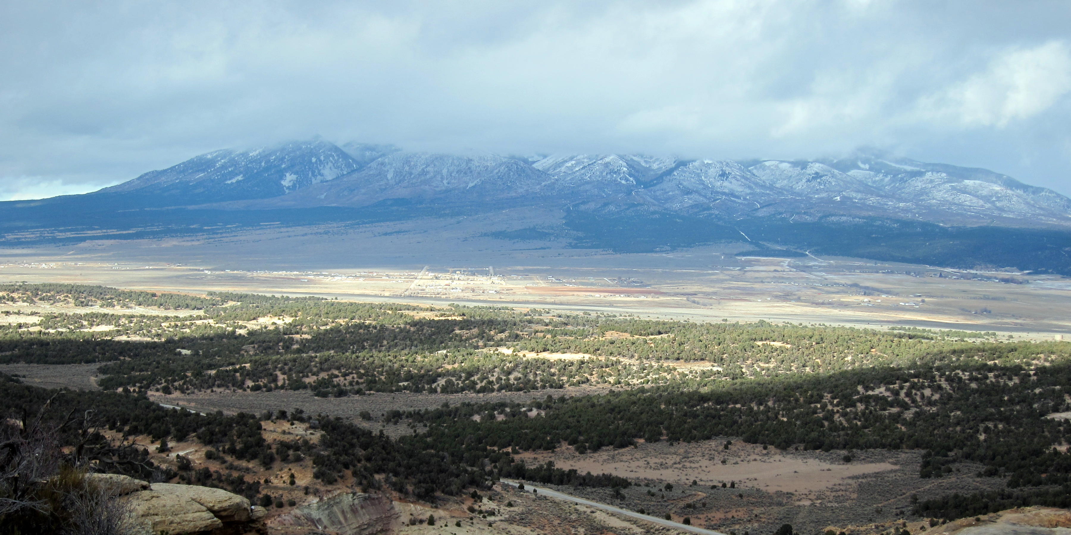
La Sal Benchmark has a fine view of the nearby La Sal Mountains, but they were socked in when I was there.
La Sal Benchmark – La Sal and La Sal Mountains
73
George
KX0R
!! WARNING !! There are old mountaineers, and bold mountaineers… there are no old-bold mountaineers.
Hiking and mountain climbing are potentially hazardous activities particularly in Colorado with its extreme elevations. I am not accepting responsibility for any death or injury resulting from activations based on my trip reports. Proper training, experience, and personal capability assessment is required – enjoy!
W0C/SR-061
Mount Sherman
4278 m / 14036 ft
Sep 28, 2016
By KX0R
Mount Sherman is a rocky, high, alpine summit in a historic mining area about 10 miles west of Fairplay, Colorado.
• High altitude hike
• Very popular 14-er climb
• Rocky trail goes all the way to the top
• Spectacular alpine scenery
• Excellent HF site
• 4.7 miles round-trip
• ~2000 vertical feet total
• *** SOTA Classic! ***
Mount Sherman South Ridge Route from Saddle
Driving Directions:
• Drive west on Highway 285, and cross Kenosha Pass
• Continue west on Highway 285 to Fairplay
• Drive south from Fairplay about one mile
• Just past the turn-off for Highway 9, Highway 285 goes up a little hill
• Turn west at the top of the hill on County Road 18, the Four Mile Creek Road
• This unpaved road is OK for several miles, but it gets worse as it heads up into the mountains. 4WD is not required, but many parts of the road are rocky and rough.
• Follow CR 18 up scenic, historic Four Mile Creek, past old mines and mills.
Mount Sheridan – Mill along Fourmile Creek Road at Leavick
• The last mile or so is rough and steep. There are many rocks too large for low-clearance vehicles. Some vehicles with medium clearance may make it OK, if driven carefully.
Mount Sherman – Four Mile Creek Road – Last Mile
• Parking lower along the road is possible – some parking is available about one mile down, near 11,600 feet.
• The road ends at a gate near an old mine; there’s a large parking area.
• This is the Fourmile Creek Trailhead, also called the Mount Sherman Trailhead.
Mount Sherman – Four Mile Creek Trailhead
• This trailhead is at 12,200 feet
• It’s about 12 miles from Highway 285 to the trailhead.
• This is a very popular trailhead, because Mount Sherman is one of the most-climbed 14-ers.
The Hike:
• Because of the high altitude, this trip is recommended only for experienced climbers with a high level of physical fitness.
• Google Maps show none of the trails near Mount Sherman
• GPS is very useful in this area
• The hike is relatively simple, but it isn’t marked well with signs, etc.
• Hike up the road past the gate, and stay on the mine road as it ascends mostly north, up past various old mines and historic structures, into a high basin at about 12,900 feet.
Mount Sheridan – Mill below Sherman-Sheridan Saddle
• A well-used foot trail leads west from the basin at 12,900 feet up to the saddle at about 13,125 feet. There are a few cairns marking the correct route.
• At the saddle, Mount Sherman stands high to the northeast; Mount Sheridan stands less high to the southwest.
• Follow the trail northeast up the moderate ridge
Mount Sherman – South Ridge Route from Mount Sheridan
• Continue climbing up past 13,500 feet, as the ridge narrows and becomes steeper and rougher.
• At 14,000 feet the trail reaches the long, flat summit ridge.
Mount Sherman Ridge, View North
• The actual summit is near the middle of the ridge.
• Several rock piles and wind shelters are available.
Additional Details:
Unless the wind is extreme, or people are already there, a wind shelter may be a good place to set up radio gear. I had some wind, so I guyed my pole to rocks near a convenient shelter north of the summit. It was easy to run the wire along the ridge and set up my gear in the shelter.
Mount Sherman – KX0R SOTA Activation
Mount Sherman is a perfect HF summit. It falls away in all directions, and there are no higher peaks nearby to affect skip signals. There’s little development with AC power nearby, and the RF noise level is very low. I had no problem making 43 CW contacts on three HF bands!
Sherman is an OK VHF/UHF peak, because it looks out across most of South Park, as well as into parts of the Arkansas Valley. The SOTA page shows many 2M contacts.
The summit offers great views of numerous peaks and most of South Park. The immediate area near the mountain is impressive – White Ridge extends far out to the east – it’s very bright. Pikes Peak stands alone across South Park, 66 miles to the southeast.
Mount Sherman – Pikes Peak, South Park, and White Ridge
Other high peaks stand for miles along the top of the Mosquito Range to the north. Mount Sheridan is only about 1.3 mile southwest, and the ridge continues 1.6 miles south to Horseshoe Mountain.
Horseshoe Mountain, Mount Sheridan, Mining Basin, and Sheridan-Sherman Saddle from Mount Sherman
The ridge stays high for many more miles. It seems like everything in sight is over 4000M! The Sawatch Range isn’t far away, with numerous higher peaks to the west. . Dozens of SOTA peaks are visible.
Mount Sheridan W0C/SR-070 offers a reasonable dual activation nearby. Activating Sheridan adds about 2 miles and 650 vertical feet to the trip up Sherman. I activated both peaks, but I started with Sheridan. It was a long day, but so nice that there was almost nothing to worry about.
Mount Sheridan and Mount Sherman from Horseshoe Mountain
I saw only a few people on Sherman, mostly because my visit was late in the season. It was perfect weather, with little wind, and sunny all day. It’s incredible to be in such high places with ideal conditions! It was nice to contact so many chasers with my tiny radio!
Mount Sherman is a SOTA Classic for all the reasons detailed above, and Mount Sherman and Sheridan are a SOTA Classic Dual Activation!
73
George
KX0R
Mount Sherman’s South and West Sides from Mount Sheridan
!! WARNING !! There are old mountaineers, and bold mountaineers… there are no old-bold mountaineers.
Hiking and mountain climbing are potentially hazardous activities particularly in Colorado with its extreme elevations. I am not accepting responsibility for any death or injury resulting from activations based on my trip reports. Proper training, experience, and personal capability assessment is required – enjoy!
W0C/SR-070
Mount Sheridan
4190 m / 13748 ft
Sep 28, 2016
By KX0R
Mount Sheridan is a rocky, high, alpine summit in the historic mining area about 10 miles west of Fairplay, Colorado.
• High altitude hike
• Partially marked route
• Rocky trail goes all the way to the top
• Spectacular alpine scenery
• Excellent HF site
• ~ 4.5 miles round-trip
• ~ 1750 vertical feet
• *** SOTA Classic! ***
Mount Sheridan, Southeast Side
Driving Directions:
• Drive west on Highway 285, and cross Kenosha Pass
• Continue west on Highway 285 to Fairplay
• Drive south from Fairplay about one mile
• Just past the turn-off for Highway 9, Highway 285 goes up a little hill
• Turn west at the top of the hill on County Road 18, the Four Mile Creek Road
• This unpaved road is OK for several miles, but it gets worse as it heads up into the mountains. 4WD is not required, but many parts of the road are rocky and rough.
• Follow CR 18 up scenic, historic Four Mile Creek, past old mines and mills.
Mount Sheridan – Mill along Fourmile Creek Road at Leavick
• The last mile or so is rough and steep. There are many rocks too large for low-clearance vehicles. Some vehicles with medium clearance may make it OK, if driven carefully.
• Parking lower along the road is possible – some parking is available about one mile down, near 11,600 feet, and lower.
• The road ends at a gate near an old mine; there’s a large parking area.
• This is the Fourmile Creek Trailhead, also called the Mount Sherman Trailhead.
• This trailhead is at 12,200 feet
• It’s about 12 miles from Highway 285 to the trailhead.
• This is a very popular trailhead, because Mount Sherman W0C/SR-061 is one of the most-climbed 14-ers.
The Hike and Climb:
• Because of the high altitude, this hike is recommended only for experienced climbers with a high level of physical fitness.
• Google Maps show none of the trails near Mount Sherman
• GPS is very useful in this area
• The hike is relatively simple, but it isn’t marked well with signs, etc.
• Hike up the road past the gate, and stay on the mine road as it ascends mostly north, up past various old mines and historic structures, into a high basin at about 12,900 feet.
Mount Sheridan – Mill below Sherman-Sheridan Saddle
• A well-used foot trail leads west from the basin at 12,900 feet up to the big saddle at about 13,125 feet. There are a few cairns marking the correct route.
Horseshoe Mountain, Mount Sheridan, Mining Basin, and Sheridan-Sherman Saddle from Mount Sherman
• At the saddle, Mount Sherman stands high to the northeast; Mount Sheridan stands less high to the southwest.
Mount Sheridan Northeast Ridge Route, from Sheridan-Sherman Saddle
• Follow the trail southwest along the gentle ridge, and then ascend Sheridan by staying on the most visible trail up the rocky ridge.
• Near the summit, the trail leads up through talus – there are some cairns, including the most exotic ones I’ve ever seen.
Mount Sheridan Cairn-Man with Mount Sherman Behind
• At the top, the long, flat summit ridge comes into view.
• The actual summit is at the southeast end of this ridge; a big pile of rocks marks the spot.
Mount Sheridan Summit Ridge – View West to East, with South Park and Pikes Peak behind Sherman’s Actual Summit
• A large wind-shelter built from rocks stands on the northwest end of the summit ridge, 400 feet from the actual peak.
• A pleasant stroll along the ridge-top leads to the wind-shelter; fortunately, the entire ridge is well within the SOTA Activation Zone.
Mount Sheridan Summit Ridge – View from East to West, with Large Wind-Shelter at West End
Additional Details:
Unless the wind is extreme, or people are already there, the northwestern wind shelter is an ideal place to set up radio gear. Just tie the pole to the rock wall, string the wire out along the open ridge, sit down in the shelter, and go on the air. Sometimes high peaks are tricky, but this one is already set up for SOTA!
Mount Sheridan SOTA Activation – Wind Shelter at West End
Mount Sheridan is a near-perfect HF summit. It falls away in most directions, and except for Mount Sherman to the north, there are no higher peaks close enough to affect skip signals much. There’s no development with AC power nearby, and the RF noise level is very low.
I had no problem making 38 CW contacts on three HF bands! One of the 20M contacts was summit-to-summit (S2S) with K7NEW on W7W/NO-035.
Mount Sheridan – KX0R Radio Gear
Sheridan is a decent VHF/UHF peak, because it looks out across parts of South Park, as well as into part of the Arkansas Valley near Leadville. The peak’s SOTA history shows many 2M contacts.
The summit offers great views of numerous peaks and parts of South Park. The immediate area near the mountain is stunning – Mount Sherman is very bright, almost white, to the north; other high peaks stand for miles back along the top of the Mosquito Range behind Sherman. The high ridge leads south about 1.6 miles to Horseshoe Mountain W0C/SR-064, and then the ridge stays high and continues south for many more miles.
Mount Sheridan View of Horseshoe Mountain and Empire Amphitheater
Many of the peaks in view exceed 4000 M! The Sawatch Range isn’t far away, with numerous higher peaks to the west; and Pikes Peak stands out clearly in the southeast, 66 miles away.
Mount Sherman W0C/SR-061 offers a reasonable dual SOTA activation nearby. I had no problem hiking down to the saddle at 13,125 feet and then up Sherman via the main trail up the south ridge. It was a long day, but so nice that I had almost nothing to worry about!
I never saw a soul on Mount Sheridan, mostly because I was there late in the season. The sunny weather was ideal, with little wind all day. It’s incredible to be alone in such places when everything is perfect.
Mount Sheridan is a SOTA Classic for all the reasons detailed above! Mount Sheridan and Mount Sherman are a SOTA Classic Dual Activation!
73
George
KX0R
!! WARNING !! There are old mountaineers, and bold mountaineers… there are no old-bold mountaineers.
Hiking and mountain climbing are potentially hazardous activities particularly in Colorado with its extreme elevations. I am not accepting responsibility for any death or injury resulting from activations based on my trip reports. Proper training, experience, and personal capability assessment is required – enjoy!
• High altitude hike
• No marked route
• Old mining road ascends part way
• Rocky path leads along ridge to the top
• Spectacular alpine scenery
• Geology field trip
• Excellent HF site
• ~ 6 miles round-trip from 11,850 foot parking spot
• ~ 2050 vertical feet total from 11,850 foot parking spot
• ~ 4 miles round trip from 12,300 foot parking spot
• ~ 1600 vertical feet total from 12,300 foot parking spot
• *** SOTA Classic! ***
Horseshoe Mountain
Driving Directions:
• Drive west on Highway 285 and cross Kenosha Pass
• Continue west on Highway 285 to Fairplay
• Drive south from Fairplay about 1 mile
• Just past the turn-off for Highway 9, Highway 285 goes up a little hill.
• Turn west at the top of the hill on CR 18, the Four Mile Creek Road.
• Mostly unpaved CR 18 is OK for several miles, but it gets worse as it heads up into the mountains. 4WD isn’t required, but many parts of the road are rocky and rough.
• Follow CR 18 up historic Four Mile Creek, past old mines and mills, for about 10 miles from Highway 285.
Horseshoe Mountain from Leavick on CR 18
• At about 11,600 feet, a small, insignificant road, FR-603, leads south across Four Mile Creek.
• It might be possible to park on the north side of CR 18 near FR-603.
• FR-603 is an easy 4WD road – it climbs steeply southwest and leads into the Horseshoe Cirque below the summit.
Horseshoe Mountain – FR-603 and Mount Sherman
• FR-603 requires high clearance in spots, but it may be passable in some 2WD vehicles.
• Most of the land along the first part of FR-603 is private and is posted.
• It’s possible to park along the road past the posted land.
• FR-603 improves as it enters the Horseshoe.
• There’s a good parking spot at about 12,300 feet overlooking a small lake.
Horseshoe – FR-603 into Horseshoe Cirque
The Hike:
• Because of the high altitude, this trip is recommended only for experienced hikers with a high level of physical fitness.
• Google Maps show none of the trails near Horseshoe Mountain.
• GPS is very useful in this area.
• The hike is simple, but it isn’t marked well with signs, etc.
• From the 4WD parking spot at 12,300 feet, hike up the mine road as it continues steeply up switchbacks and climbs the ridge north of the peak.
Horseshoe – Jeep Road up to Saddle
• If you have a serious 4WD vehicle, you may be able to drive up as high as 13,000 feet.
• Hike up the remains of the road to the saddle on the ridge at 13,200 feet.
Horseshoe – View of North Ridge Route from Saddle
• An unmarked faint path leads south and climbs up the moderate ridge about 0.8 miles to the summit area.
• A rock-pile is near the summit, but there’s no wind shelter.
Additional Details:
The part of the summit ridge above 13,800 feet is about ½ mile long. The SOTA Activation Zone is perhaps 2000 feet long and is relatively flat. As long as the wind is not too strong, you can set up radio gear anywhere that’s convenient.
The weather was perfect when I climbed up Horseshoe Mountain. With only a breeze, I guyed my pole and set up on top.
Horseshoe – KX0R Activation at Summit
Horseshoe – KX0R Radio Gear
Horseshoe Mountain is a perfect HF summit. It falls away in all directions, and there are no higher peaks nearby to affect skip signals. There’s no development nearby, and the RF noise level is very low.
I had no problem making 43 CW contacts on four HF bands! I logged three DX contacts:
F6HKA in France 20M
ZL1BYZ in New Zealand 20M
ZL1BYZ in New Zealand 17M
I also made three summit-to-summit (S2S) contacts:
Horseshoe is fair VHF/UHF peak, because it looks out across most of South Park, as well as into parts of the Arkansas Valley. The history for the peak shows many 2M contacts.
Horseshoe Mountain – View East across Sheep Mountain, South Park, to Pikes Peak
The weathered remains of a house stand on the summit ridge about 1000 feet north of the peak. This house is within the activation zone, and the structure could be used for shelter from wind, but be careful of nails, etc.
Horseshoe Mountain – House South of Summit
The summit offers great views of numerous peaks and most of South Park. Mount Sheridan and Mount Sherman stand to the north, and other high peaks are visible along the top of the Mosquito Range in both directions.
Horseshoe View Northeast to Mount Sherman
The Sawatch Range isn’t far away, with numerous 4000+M peaks to the west; and Pikes Peak stands out clearly in the southeast, 66 miles away. Dozens of SOTA peaks are visible.
The horseshoe-shaped mountain is spectacular when viewed both from the cirque, as well as from the summit. This mountain is actually a glacially-sculpted sedimentary hogback ridge. The tilted bedded rocks date from hundreds of millions of years ago, and there’s limestone right on top of the peak!
Horseshoe Mountain – Limestone on Summit
The cirque is eroded deeply enough that the whole sequence of rocks is visible. There are many examples of mineralized rock along the route, as well as numerous mines and prospect holes all over the mountain. The colored sedimentary layers are visible for miles along the west side of the Mosquito Range, and elsewhere in the area.
Horseshoe Mountain – View North to Mount Sheridan and Mount Sherman
I saw no one when I was on the Horseshoe or in the Cirque. It’s amazing to visit and enjoy such a huge, spectacular place when everything is perfect. It was nice to have so many chasers calling on my tiny radio!
Horseshoe Mountain is a SOTA Classic for all the reasons detailed above.
73
George
KX0R
!! WARNING !! There are old mountaineers, and bold mountaineers… there are no old-bold mountaineers.
Hiking and mountain climbing are potentially hazardous activities particularly in Colorado with its extreme elevations. I am not accepting responsibility for any death or injury resulting from activations based on my trip reports. Proper training, experience, and personal capability assessment is required – enjoy!
• Pike National Forest
• Somewhat challenging off-trail climb to the summit
• Spectacular scenery
• Exciting alpine summit
• Superb radio site
• ~ 3.5 miles round-trip
• ~ 1250 vertical feet
** SOTA Classic **
North Tarryall Peak from Topaz Mountain
Driving Directions:
• Drive west on Highway 285 and cross Kenosha Pass
• About 2 miles beyond the Pass, turn left, south, on CR 56, the Lost Park Road
• This unpaved road is rocky and rough, but it’s normally a 2WD road, and high clearance is not required
• Follow CR 56 about 13.3 miles up to Lost Pass at 10,680 feet
• Park at the Pass
** Note that CR 56 may be closed seasonally – check with the USFS **
The Hike and the Climb:
• A fence runs up the hill just south of the Pass
• Hike southwest along the fence through the woods
• Head west near the top of the hill, and go through open forest to a bench at about 11,000 feet
• The bench is a large marsh
• Follow a game trail southwest across the southeast side of the bench
• Enter the forest at about 11,100 feet
• Follow game trails south-southwest up the steep slope toward the summit
• At about 11,650 feet, continue hiking up the rocky northeast ridge of the mountain
• Continue on the ridge to the summit area at 11,800 feet
• The rocky summit is visible to the southwest across a large alpine meadow
• An impressive old triangulation station stands intact on the rocky peak
• A convenient path leads up a gully to the summit
North Tarryall Peak – Triangulation Station with N0TA
Additional Details:
The ascent route described above is direct and efficient. Since this way is up the northeast side of the mountain, it might not be so nice if there’s snow in the woods. Other possible routes start by driving (or hiking) south on FR-446 for a mile or two. Some old closed logging roads lead up roughly west from FR-446 and provide partial access to the upper part of the mountain. These roads are visible in the Google satellite images.
Regardless of the route you choose, GPS navigation is a good idea up there, because the forest is so thick that the summit’s often hidden from view. A good map and a compass also can keep you on course.
The huge activation zone definitely includes a broad sub-peak, with nice trees and shelter from wind, about 500 feet north of the triangulation station. Please see the enlarged topo map of the summit. Activating from the exposed triangulation station is also possible, but there’s little shelter from wind, and no trees are available.
North Tarryall Peak – KX0R SOTA Activation
North Tarryall Peak – KX0R Radio Gear
North Tarryall Peak – View North of Large Activation Zone
North Tarryall Peak is a perfect HF site. Far from development, the noise level is very low. The prominent summit falls away quickly in all directions. No nearby mountains significantly block HF skip signals.
This mountain should be useful for VHF/UHF communication as well. It’s high enough to have coverage across South Park to the Divide and the Collegiate Peaks.
North Tarryall Peak View West
North Tarryall Peak sits on the long, high ridge-top of the Tarryall Mountains. The open views from the cliffy summit are spectacular. Topaz Mountain W0C/SP-062 stands 2.4 miles to the southeast.
Topaz Mountain from North Tarryall Peak – McCurdy, Bison, and Pikes Beyond
Pikes Peak is visible far to the south, beyond Topaz Mountain, Bison Peak, and McCurdy Mountain.
Most of South Park spreads out far below. Other mountain ranges are easy to see far in the distance.
In the southeast the eastern plains are visible, behind Lost Park and various summits in the Lost Creek Wilderness.
North Tarryall Peak – View Southeast to Lost Park
North Tarryall can be combined with other nearby SOTA peaks for a dual activation:
W0C/SP-062 Topaz Mountain 2.4 miles southeast
W0C/SP-075 11060 4.2 miles east
W0C/SP-068 11423 6.2 miles southeast
North Tarryall Peak is a SOTA Classic!
• Spectacular rocky alpine summit
• Awesome views all around
• Near-perfect radio site
• Large, pleasant activation zone
• Challenging hike
• Relative solitude
Thanks to Mark N0MTN for his First Activation!
Be aware of possible hunters in the fall – wear bright orange; also note that the willow swamps east of the summit are prime moose territory.
73
George
KX0R
North Tarryall Peak View Down the Cliffs
!! WARNING !! There are old mountaineers, and bold mountaineers… there are no old-bold mountaineers.
Hiking and mountain climbing are potentially hazardous activities particularly in Colorado with its extreme elevations. I am not accepting responsibility for any death or injury resulting from activations based on my trip reports. Proper training, experience, and personal capability assessment is required – enjoy!
• Roosevelt National Forest
• Accessible trailhead
• No marked trail
• Old trails provide a path part way
• Navigation and route-finding required
• Minimal bushwhacking via correct route
• Prominent open summit
• Fine views of Poudre Canyon
• Burned up in High Park Fire of 2012
• Fine HF summit
• Mount McConnel and 7612 are nearby
• Trailhead elevation ~ 6500 feet
• ~ 2.2 miles round-trip
• ~ 1030 vertical feet
Sheep Mountain, Orange Color, West Side from 7612
Driving Directions:
• Drive to Fort Collins.
• Continue northwest from Fort Collins on Highway 287 to Ted’s Place.
• Turn west on Highway 14, and enter the Poudre Canyon after 4 miles.
• Continue up the winding canyon road, and pass through the Narrows
• Look for the Narrows Picnic Area on the left side of the highway
• A good parking spot is nearby, on the west side of the highway. It’s about 20 miles from Highway 287 to the parking spot.
• Parking is prohibited in some other pullouts nearby.
Sheep Mountain – Parking Spot near Narrows Picnic Area in Canyon
The Hike:
• Walk across the highway and hike northeast through an open area toward the obvious gulch.
• Just to the right, above the gully, is an eroded hill with hints of a trail.
Sheep Mountain – Initial Route up Eroded Orange Dirt to Secret Trail
• Climb up this steep spot, to the eroded orange dirt, rather than hiking directly up the rocky gully.
• A hidden abandoned road 50-100 feet above the gully leads eastward.
• A good game trail follows this track.
Sheep Mountain – Secret Trail above Gully to Saddle
• This route ascends efficiently up to the wide saddle at 6860 feet, north of Sheep Mountain.
• Head south from the saddle and climb the north slope of Sheep Mountain.
• It’s steep and eroded, but it’s probably easier than other routes to the summit – there are hints of an old trail.
• At the top of the slope, follow the gentle ridge south.
• Stay just east of a rocky sub-peak.
• A shallow valley leads up toward summit.
• Follow the valley and remains of an old trail
• Climb up the northeast ridge to the top.
Here’s an alternative trip report from K0MOS. Matt ascended up the steep southeast side of Sheep Mountain from The Narrows. I believe my route detailed here is much easier.
Additional Details:
The following photo shows the key details of the first part of the climb. To find the secret trail up above the gully north of Sheep Mountain, you must ascend to the point where this photo was taken. This is the start of the hidden path up to the saddle north of Sheep Mountain. Note that this spot is directly across the highway from the south end of the Narrows Campground. The parking spot is visible down the road to the left.
Sheep Mountain – Initial Route from Parking Spot – View Southwest to Narrows Campground
Because the mountain was burned, there are great views of the Canyon in all directions from the summit:
Sheep Mountain – View Southeast into Poudre Canyon
Sheep Mountain – View Southwest
The prominent summit is very rocky; scorched trees stand all over the slopes.
Sheep Mountain Summit
The large Activation Zone offers several good places to set up with shelter from wind. Plenty of dead trees are available to support an antenna. The wind forced me to set up my gear down the northeast side below the top.
Sheep Mountain – SOTA Activation in Burned Area
Sheep Mountain is an excellent HF radio site. There are no higher mountains nearby to interfere with HF propagation. The only development is far down in the canyon, so the HF noise level is low. This is probably a poor VHF/UHF site, as there’s only a glimpse of the plains down the Canyon.
I had a busy HF activation on 7-10-14 MHz, with 30 CW contacts in less than an hour.
Of these, 7612 and Mount McConnel are the best choices for a dual or multiple activation. I had no problem activating 7612 on the same day as Sheep Mountain.
Use caution during hunting season in the fall – wear orange; and be careful about lightning, especially in spring and summer.
73
George
KX0R
!! WARNING !! There are old mountaineers, and bold mountaineers… there are no old-bold mountaineers.
Hiking and mountain climbing are potentially hazardous activities particularly in Colorado with its extreme elevations. I am not accepting responsibility for any death or injury resulting from activations based on my trip reports. Proper training, experience, and personal capability assessment is required – enjoy!
Peak 7612 is an obscure SOTA summit in the Poudre Canyon west of Fort Collins. It was surprisingly fun to climb and activate!
Key Points:
• Roosevelt National Forest
• Accessible trailhead
• No marked trail
• Abandoned roads provide a path almost to the summit
• Good navigation required
• Minimal bushwhacking via correct route
• Exciting, open summit with great views of Poudre Canyon
• No recent fire damage – live trees and bushes
• Fine HF summit
• Trailhead elevation ~ 6700 feet
• ~ 2.7 miles round-trip
• ~ 900 vertical feet
7612 Across the Canyon from Mount McConnel
Driving Directions:
• Drive to Fort Collins.
• Continue northwest from Fort Collins on Highway 287 to Ted’s Place.
• Turn west on Highway 14, and enter the Poudre Canyon after 4 miles.
• Continue up the winding canyon road, past the Narrows, for about 23 miles to Mountain Park Campground.
• This USFS campground is clearly marked.
• Pass the bridge to the Campground, and drive west about 0.3 miles
• Park on the right (north) side of the road at a large pull-out, directly across the River from the Campground.
7612 Parking Spot off Highway 14
The Hike:
• Avoid the obvious trail heading northwest up a gulch – it goes to an informal shooting area.
• Hike northeast from the parking spot instead, along a less obvious, gentle path through ponderosa pines, for about 100 yards to an old abandoned road.
7612 – Old Abandoned Roadway
• This overgrown road is the easiest way up.
• First the road climbs progressively up into a large valley west of the mountain.
• Then it continues up a long, gentle ridge leading north to the west ridge of the mountain.
7612 – Route up West Ridge
• The path intersects a more recent jeep road running along the west ridge.
• This road comes up a steep hill from the northwest – a jeep road is visible in the distance.
• This un-maintained trail leads to several old campsites northwest of the summit.
• The jeep trail ends just beyond these campsites.
• Most of this route is visible on the magnified Google satellite image.
Beyond the end of the road, a path climbs southeast along the ridge, where it crosses a prominent false summit with a large buttress on the south side. The route continues along the ridge over several small false summits. The trail gradually disappears, but it’s an easy hike to the actual peak.
7612 – Summit, from False Summit
The final climb up the north side of 7612 is steep but short. Most of the mountain is bare, but there are no black burned trees, either standing or down; live trees grow on the north side of the summit.
Additional Details:
There are great views for miles in all directions. Mount McConnel stands south of Mountain Park Campground, about a mile directly across the canyon.
Mount McConnel from Peak 7612
The views down into the canyon are exciting. The Plains are barely visible in the east, but the high peaks to the west are easy to see. The perspective up there is very different from what you have in a vehicle down in the canyon!
Sheep Mountain, Orange Color, West Side from 7612
A large classic cairn made from slabs of gneiss stands on the summit. A dead tree stands near the cairn – it’s anchored down in the rocks, and it’s ideal for holding an antenna pole.
7612 – KX0R SOTA Activation at Summit
There’s some shelter from wind on the east side of the rocks by the dead tree, near the cairn; this is where I set up my gear.
7612 – KX0R SOTA Antenna
7612 – KX0R Radio Gear
7612 is a fine HF radio summit. It’s very prominent, with little blockage from higher mountains nearby. The only development nearby is far down in the canyon, so the HF noise level is low. With my pole supported by the dead tree near the cairn, I tied the far end of my antenna wire to a piece of another tree stuck into a bush south of the summit.
My 5-band activation on 7-10-14-18-21 CW was fun – I made 32 contacts in about an hour.
This site is probably not very effective for VHF/UHF work. The location is too far west into the mountains to see the population centers to the east.
Of these, Sheep Mountain and Mount McConnel are the best choices for a dual or multiple activation. I had no problem activating Sheep Mountain on the same day as 7612.
Use caution during hunting season in the fall, and wear orange clothing. Please be careful about lightning, especially in spring and summer.
73
George
KX0R
!! WARNING !! There are old mountaineers, and bold mountaineers… there are no old-bold mountaineers.
Hiking and mountain climbing are potentially hazardous activities particularly in Colorado with its extreme elevations. I am not accepting responsibility for any death or injury resulting from activations based on my trip reports. Proper training, experience, and personal capability assessment is required – enjoy!
 !! WARNING !! There are old mountaineers, and
bold mountaineers… there are no old-bold mountaineers.
Hiking and mountain climbing are potentially hazardous activities particularly in Colorado with its extreme elevations. I am not accepting responsibility for any death or injury resulting from activations based on my trip reports. Proper training, experience, and personal capability assessment is required – enjoy!
!! WARNING !! There are old mountaineers, and
bold mountaineers… there are no old-bold mountaineers.
Hiking and mountain climbing are potentially hazardous activities particularly in Colorado with its extreme elevations. I am not accepting responsibility for any death or injury resulting from activations based on my trip reports. Proper training, experience, and personal capability assessment is required – enjoy!