


W0C/PR-077
Williams Peak
3541 m / 11617 ft
First Activation: June 20, 2021
With N0TZW
By N3ALT
Williams Peak was a fun, rarely visited peak accessible by 4×4 trail on the border of Arapahoe and White River National Forests.
Take I-70 to Silverthorne, then head North on CO-9 for roughly a half hour. You’ll pass the Green Mountain Reservoir on your left, then you’ll see FS-200 (technically BLM2780 for the first bit) on your right. There’s a gate you can open to let yourself into the parking area.
From there, FS-200 is an “easy” off-road trail, which you should interpret as “there are no technical obstacles”. The trail is deeply rutted, sometimes steep, and sometimes off-camber. We saw a number of ATVs, SxSs, along with some Jeeps & pick-up trucks along it. The road goes 2.2 miles back to the FS service boundary, then 3.75 miles to the first major intersection, with FS-200.1A. Follow the road to the right of the parking area and continue down FS-200.
At this point, Tim (N0TZW) and I parted ways. He planned to drive up 200.1A to the top of W0C/PR-094, while I continued to the top of Williams Peak, and we would activate both with a summit-to-summit. This didn’t exactly work out, as he got to the top, discovered it was covered by a swarm of black flies, and decided that it wasn’t worth it. Presumably, the swarm isn’t year round, and is probably a side-effect of all the recent snow melt. In any case, W0C/PR-094 is still there for the taking. Tim returned to FS-200, and started following me over to Williams Peak, which we then both activated.
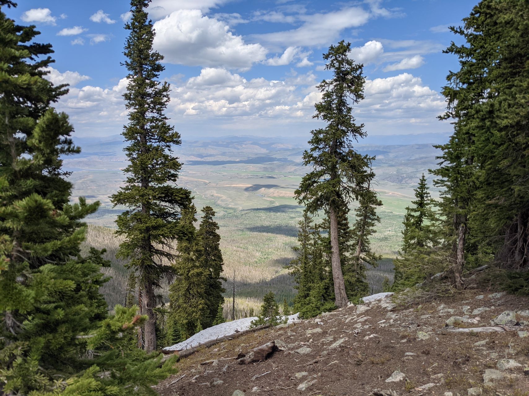
The drive from there to Williams Peak was significantly easier. The road was in better condition, significantly flatter along both axes, and the views over the reservoir were fantastic. You’ll take this around 4.5 miles, at which point you’ll find a large strip cleared of trees underneath some power lines, with Williams Peak dead ahead.
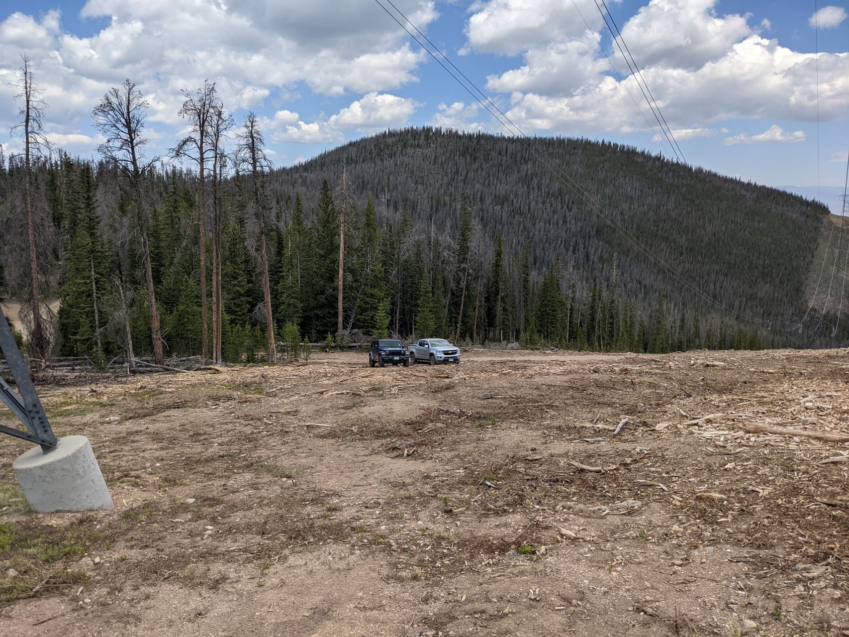
We parked under the power lines, at which point it was a straightforward, steep half-mile bushwhack up the mountain. There’s one clear, true summit, with an old USCGS marker on top. There was little evidence that anyone had been there recently.
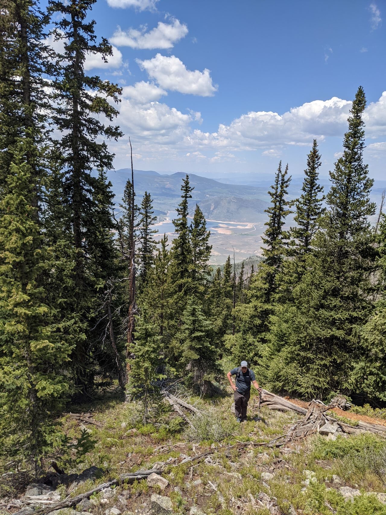
On top, there’s a decently sized activation zone, with a number of low-ish trees with plenty of branches for those of us that are not overly concerned with getting our antenna too high off the ground. There are also plenty of loose rocks for bracing a pole.
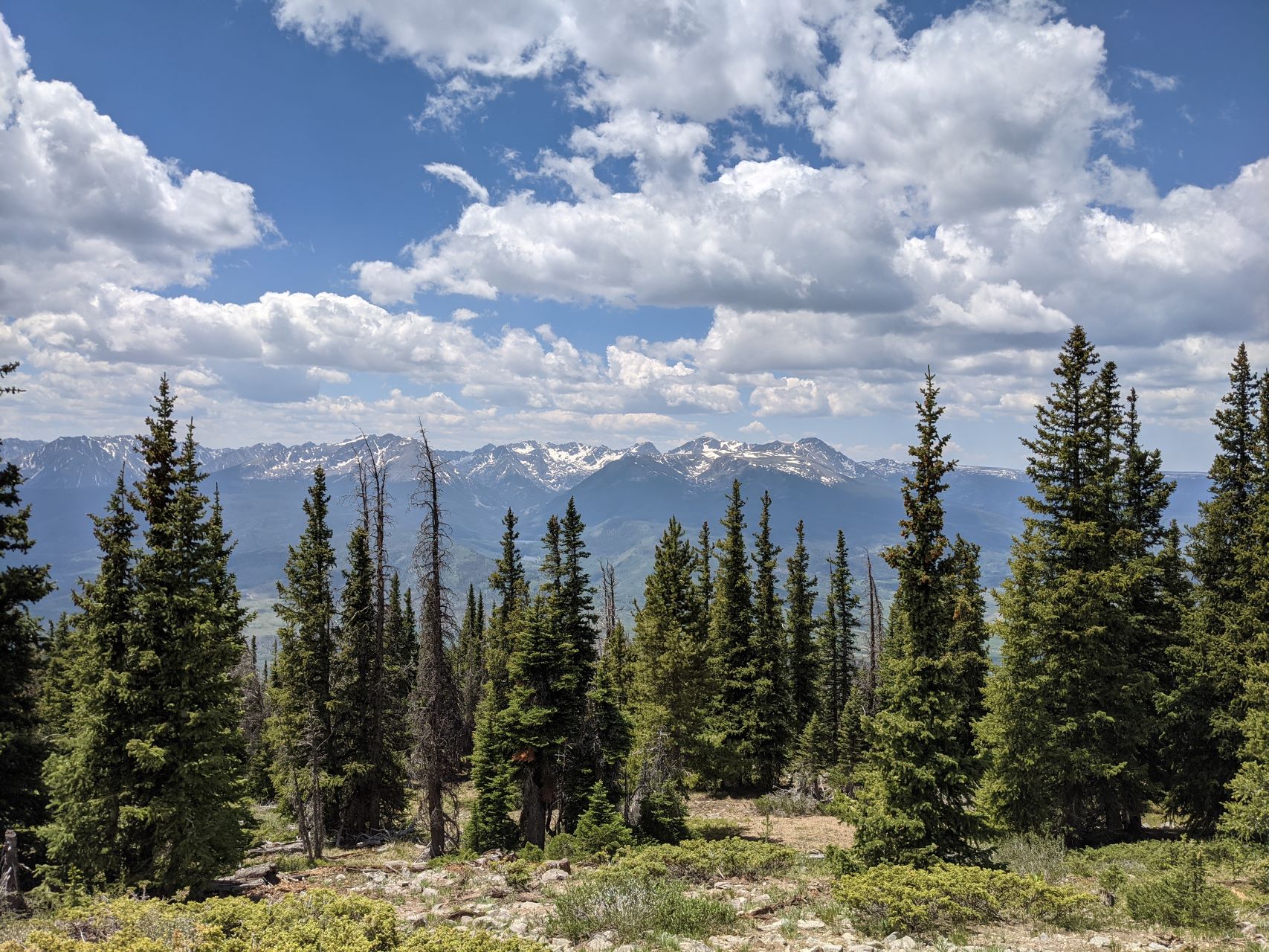
It was a fantastic HF summit – possibly the lowest noise environment that I’ve seen. It was sufficiently far out that I didn’t even bother trying VHF – I had the HT on 146.52 the whole time without hearing a peep.
On the way up, we swung around to the Southwest a bit. We stayed a bit more North on the way down. It was very similar difficulty-wise. Every so often, we got a glimpse through the trees of the power lines, which made navigation back to the cars easy.
The road continues further, eventually meeting a hiking trail that would also afford access to Williams Peak, at the cost of a 19 mile round-trip hike. We didn’t explore this section, but instead egressed the way we came, and headed onwards to another first activation – Dice Hill (W0C/PR-120).
![]() !! WARNING !! There are old mountaineers, and
bold mountaineers... there are no old-bold mountaineers.
Hiking and mountain climbing are potentially hazardous activities particularly in Colorado with its extreme elevations. I am not accepting responsibility for any death or injury resulting from activations based on my trip reports. Proper training, experience, and personal capability assessment is required - enjoy!
!! WARNING !! There are old mountaineers, and
bold mountaineers... there are no old-bold mountaineers.
Hiking and mountain climbing are potentially hazardous activities particularly in Colorado with its extreme elevations. I am not accepting responsibility for any death or injury resulting from activations based on my trip reports. Proper training, experience, and personal capability assessment is required - enjoy!