


W0C/SR-031 (James Peak)
4044 m / 13294 ft
First Activation
August 15, 2013
Second Activation
August 02, 2014
By KX0R
James Peak is a prominent SOTA peak on the Continental Divide west of Boulder. There are several popular routes up to the summit. No regular roads are close to the summit, and all the trails require significant effort.
-
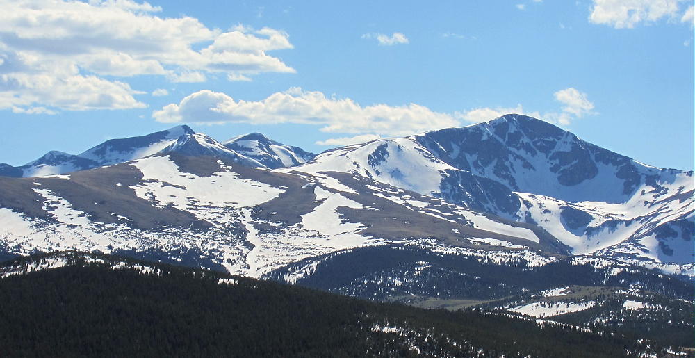
- Bancroft, Parry and James from Dakota Hill 6-1-2014
-
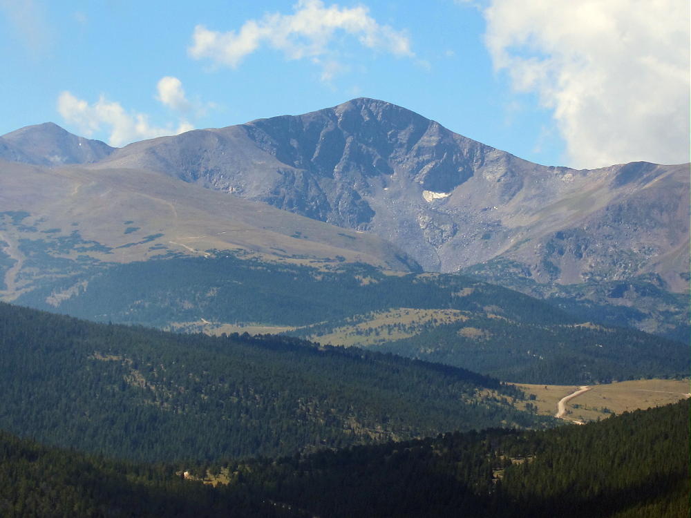
- James from Dakota Hill 9-19-2013
The primary trail up the east side of James starts near Saint Mary’s Glacier above Alice. To get to Alice, take the Fall River Road 275 north of I-70 – this paved road begins about 2 miles west of Idaho Spings, north off I-70, at mile 238.
Another way to start the hike is via the Rollins Pass road west of Rollinsville. Just west of Tolland, Mammoth Gulch Road 4-N heads steeply up southwest, and one fork eventually climbs the long northeast ridge of James. At the first road divide, take the east fork – don’t go into Mammouth Gulch. In a 4WD vehicle it is possible to drive up this rough road to about 11,400 feet, within about 3 miles of the summit.
Note that Google Maps does not show this jeep road accurately – use the satellite image. Take a good topo map up this mountain! Hike either on the road or across the vast tundra, and continue up the east ridge of James. Eventually this route meets the trail up from Saint Mary’s Glacier. Continue up the gentle southeast side of James, up a few switchbacks, and climb to the pleasant peak.
-
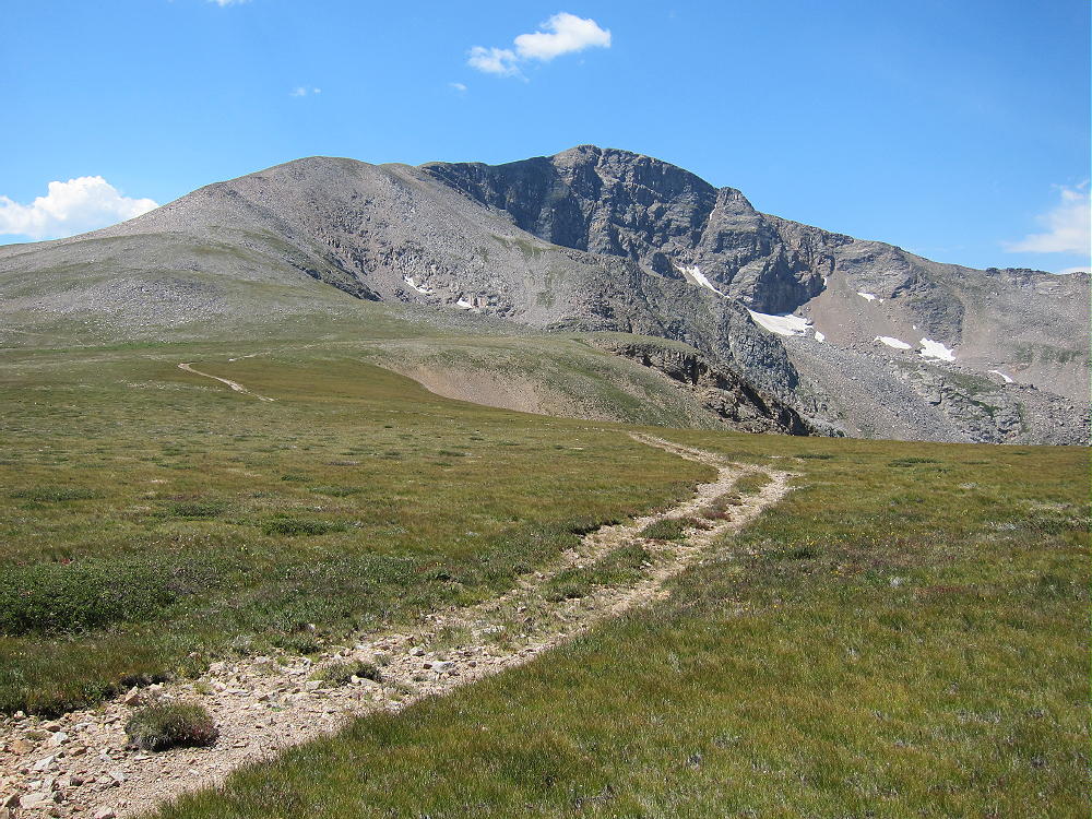
- James Peak East Slopes
-
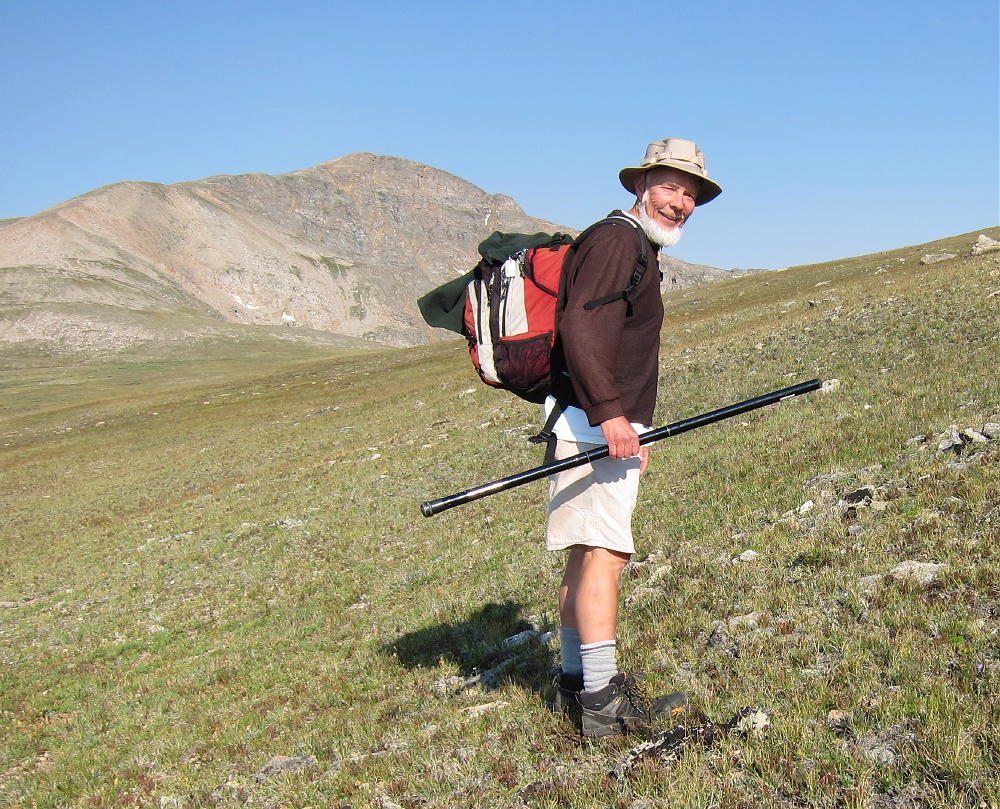
- KX0R Hiking up James Peak
-
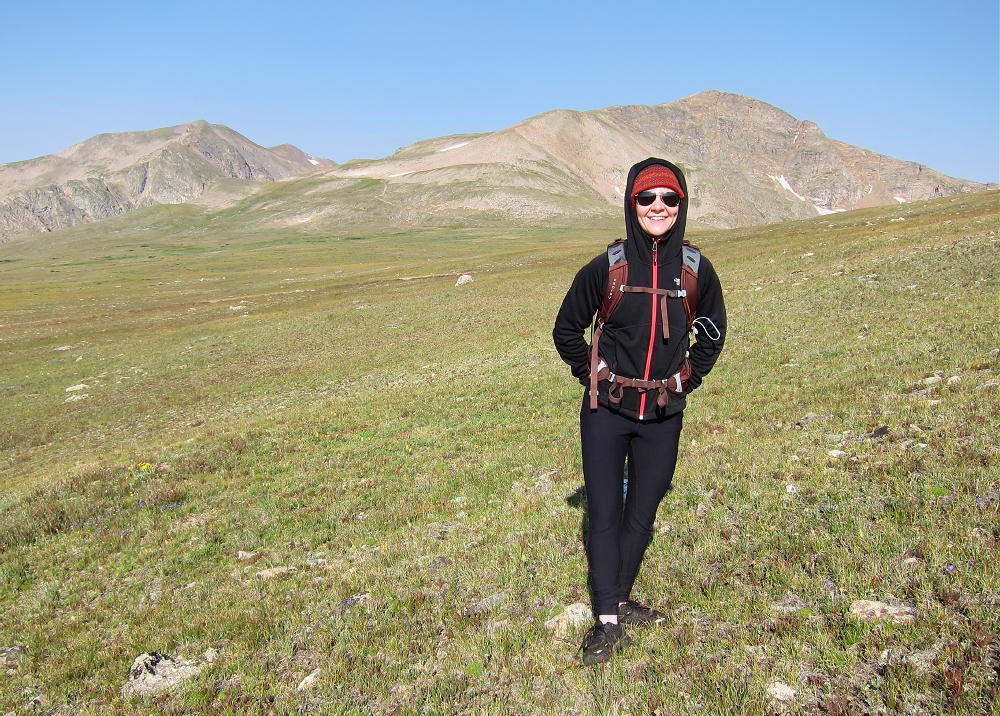
- Rose Fuller on East Slopes of James
The alpine summit has enough room to activate east of the summit if there are other visitors. The views are fine in all directions, and this is an almost perfect radio site for UHF, VHF, and HF.
-
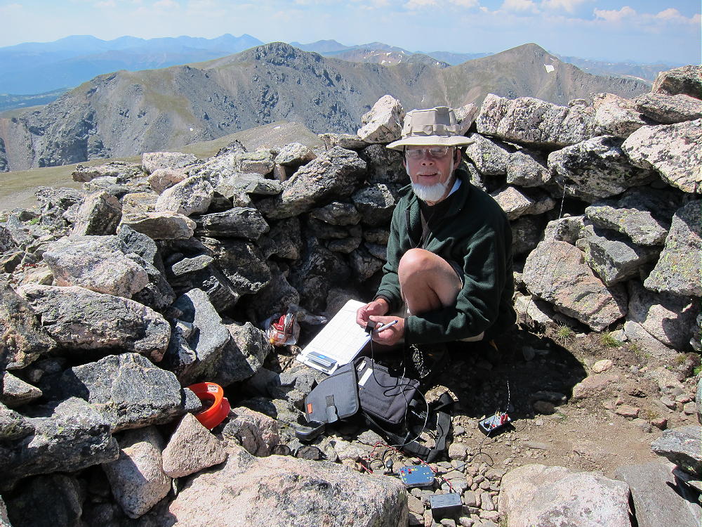
- KX0R First Activation of James Peak
-
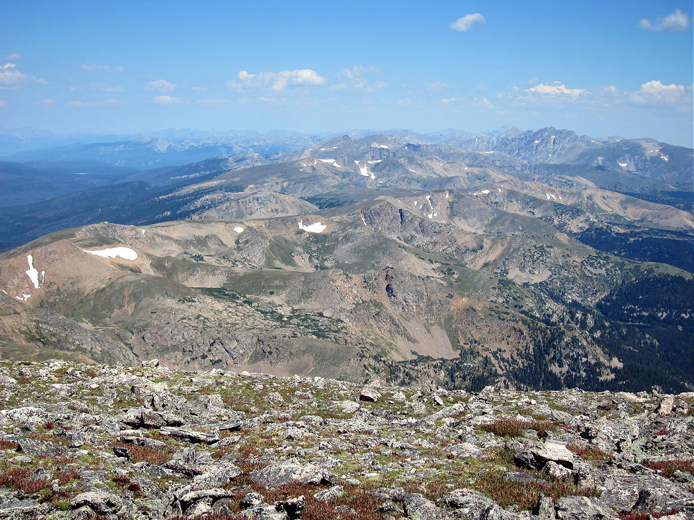
- View North along Divide from James
-
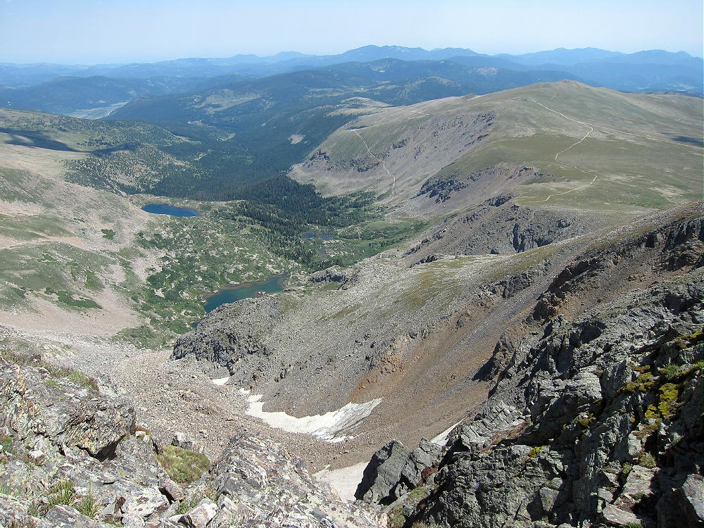
- East Side of James Peak and Mammoth Gulch
-
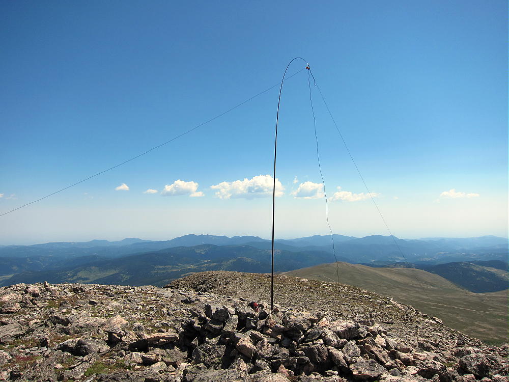
- KX0R Dipole on James Peak Summit
It is possible to combine James with Parry Peak for a rugged dual activation. Hike south from James along the Continental Divide Trail (CDT), descend the deep, rocky saddle to 12,600 feet west of Ice Lake, and climb up the moderately steep north ridge of Mount Bancroft. Hike west along the ridge about a mile and ascend up to Parry Peak. See the report on Parry Peak for the rest of the story.
-
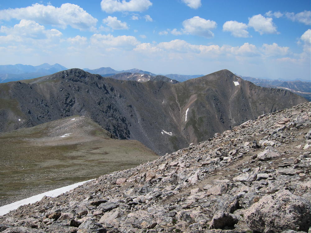
- Bancroft and Parry from James Peak
-
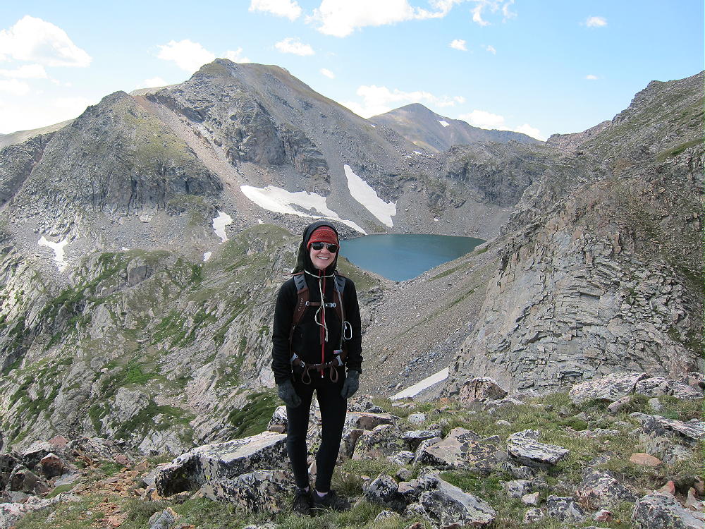
- Ice Lake, Rose, Bancroft-James Saddle, and Parry Peak Behind
-
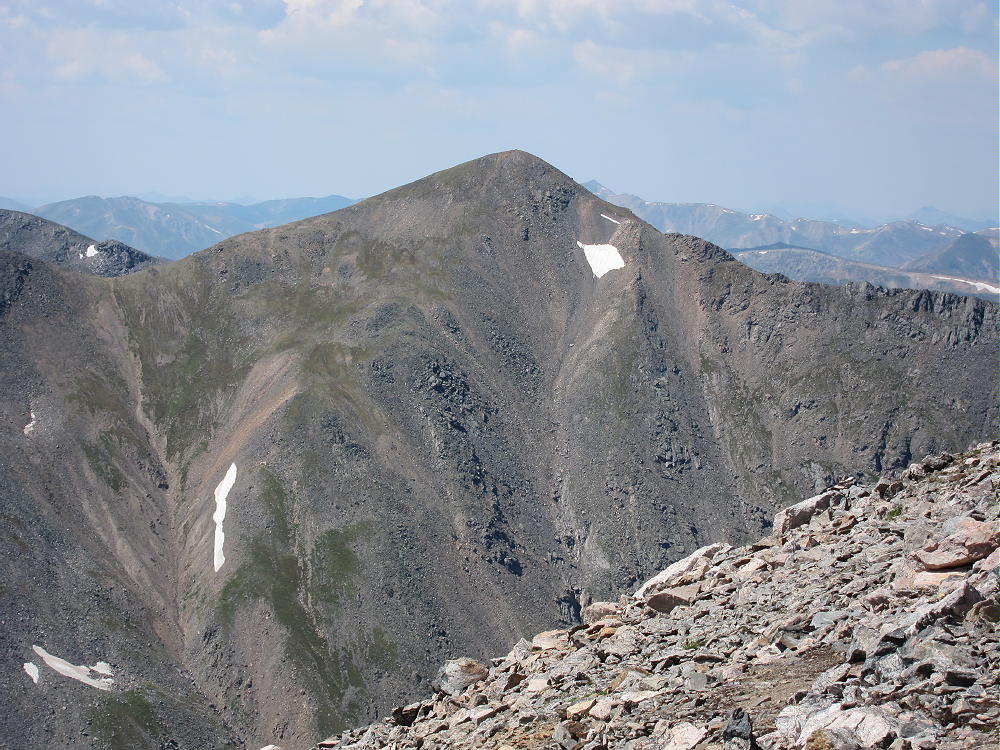
- Mount Bancroft from James Peak
There is a long but interesting route up James from the Moffat Tunnel access to the James Peak Wilderness. Hike about 5 miles up to Rogers Pass Lake. Climb up past Heart Lake, and then hike up the switch-backed trail to Rogers Pass. Continue south along the Divide (CDT) about 1-1/2 miles, and up the broad north side of James to the top. This scenic route requires time and effort, but it goes through some of the best scenery in the area, and an ordinary car can drive to the trailhead at the East Portal of the Moffat Tunnel.
It is also possible to drive over Berthoud Pass to Winter Park, then up a dirt road, FR-128 and FR-149, route 80, up toward the west side of Corona Pass/Rollins Pass, and then climb James via the Rogers Pass jeep road and the CDT along the Divide. A 4WD high-clearance vehicle is required to drive up to Rogers Pass – otherwise hike up the 4WD road from the Corona Pass road.
James Peak is a classic alpine SOTA peak during the summer and early fall. Get an early start, travel light, and enjoy SOTA at altitude!
George Carey Fuller
KX0R
![]() !! WARNING !! There are old mountaineers, and
bold mountaineers... there are no old-bold mountaineers.
Hiking and mountain climbing are potentially hazardous activities particularly in Colorado with its extreme elevations. I am not accepting responsibility for any death or injury resulting from activations based on my trip reports. Proper training, experience, and personal capability assessment is required - enjoy!
!! WARNING !! There are old mountaineers, and
bold mountaineers... there are no old-bold mountaineers.
Hiking and mountain climbing are potentially hazardous activities particularly in Colorado with its extreme elevations. I am not accepting responsibility for any death or injury resulting from activations based on my trip reports. Proper training, experience, and personal capability assessment is required - enjoy!