W0C/SR-029
Parry Peak
4074 m / 13391 ft
August 24, 2013 First Activation
August 02, 2014 Second Activation
By KX0R
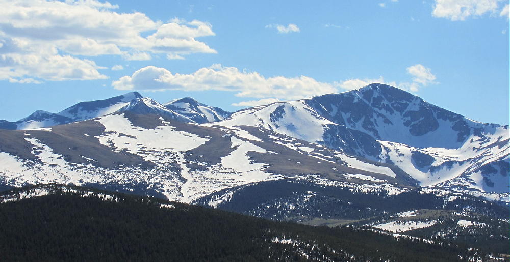
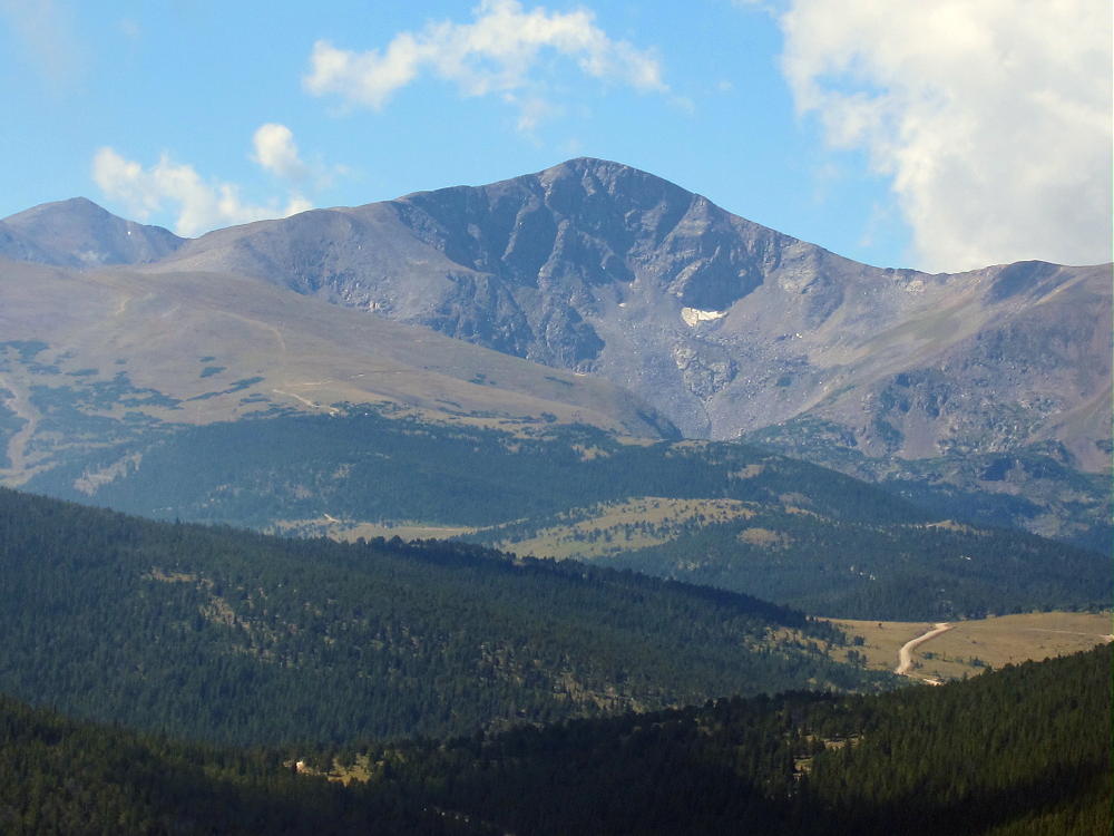
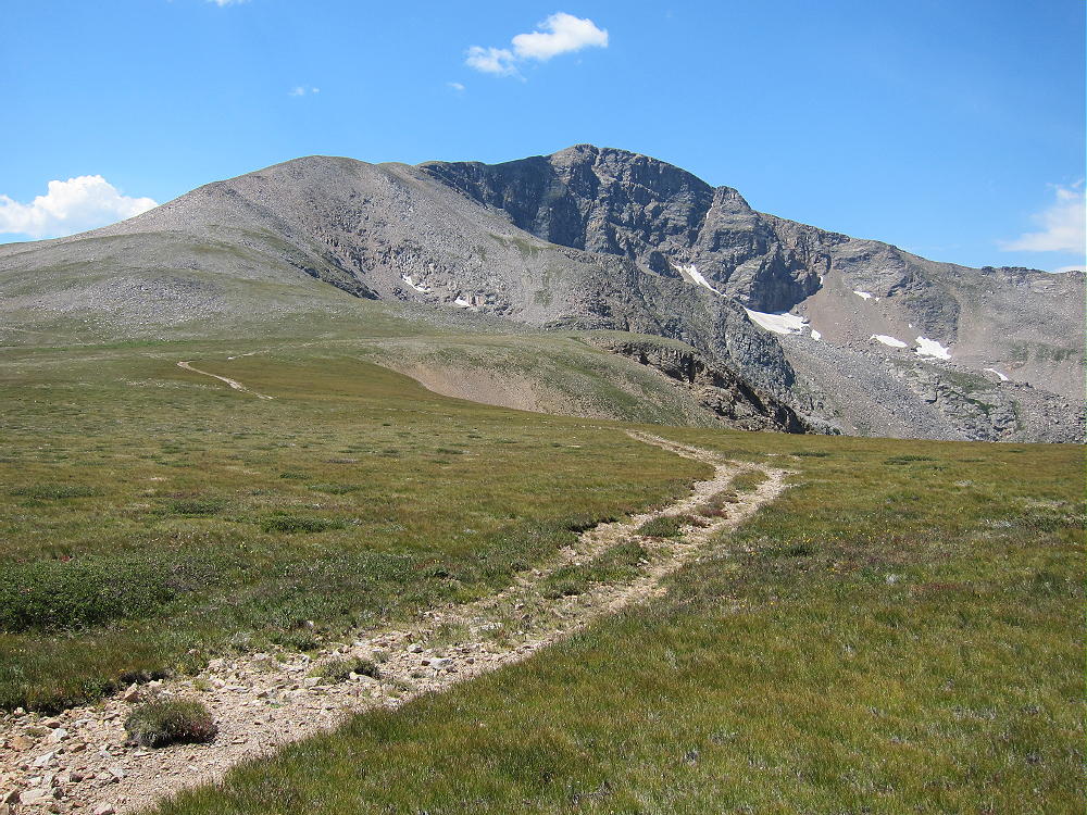
Parry Peak is a classic alpine SOTA peak on the Continental Divide, west of Boulder and east of Winter Park. Climbing Parry requires a serious commitment and a good day. No regular roads are close to the summit, all the routes are long, and there is significant vertical gain. Since large parts of the route are not on marked trails, a good topo map and off-trail experience are critical. The thin air at 4000 meters increases the challenge and the risks.
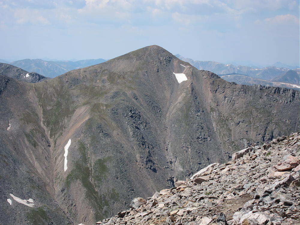
My first ascent of Parry included a hike starting just west of the old mining town of Alice. To get to Alice, drive up the Fall River Road 275 north of I-70. At Alice, turn left on Alice Road and follow it about a mile to Steuart Road – this is the Loch Lomand 4WD Road. Most cars can go about ¼ mile, but the rough road requires a high clearance vehicle after that. Park near Alice at about 10,400 feet if you have a regular car. Follow the road to Loch Lomond, a large reservoir near treeline at 11,200 feet.
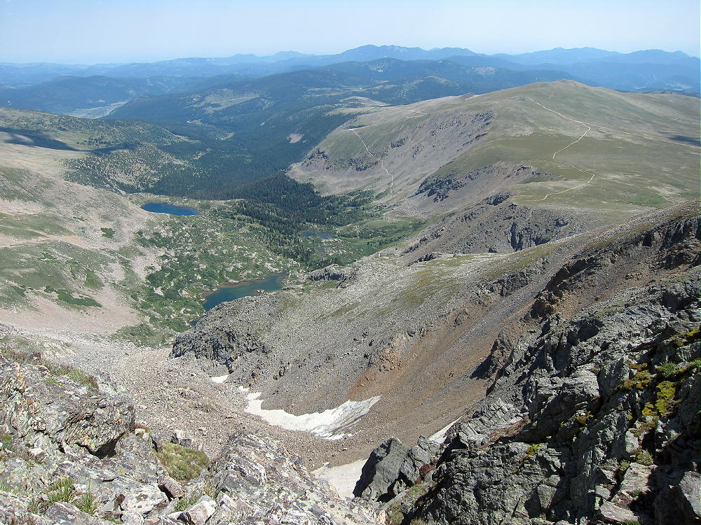
Find a closed road leading SW from Loch Lomond, and hike up past Lake Caroline to about 12,000 feet.
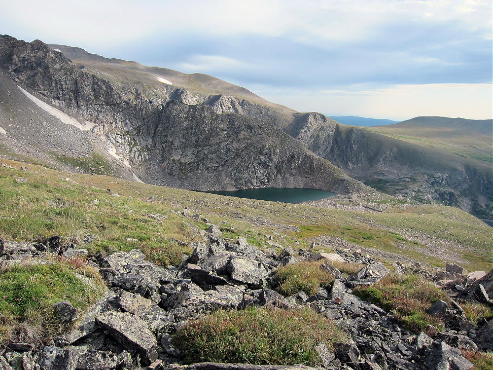
Climb northwest up a long moderate ridge leading to Mount Bancroft. This ridge is grassy and nice for a while, and then it gets steeper and rockier near the top. Climb Bancroft or contour west to the Bancroft-Parry ridge; it an easy mile along the Divide from the Bancroft summit to Parry Peak. From near Alice to Parry Peak is about 4.5 miles one way, with about 3000 vertical feet of ascent.
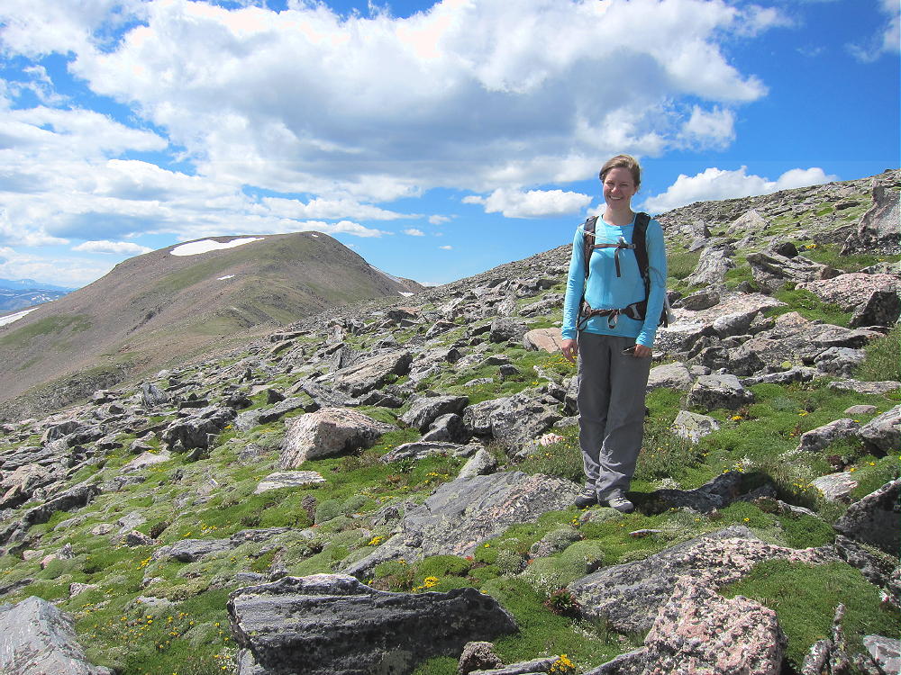
See the report on James Peak W0C/SR-031 or a description of how to combine an ascent of James with Parry. That route requires climbing James and then descending south along the Divide via the deep saddle between James and Bancroft. The Bancroft – Parry ridge completes the connection along the Divide.
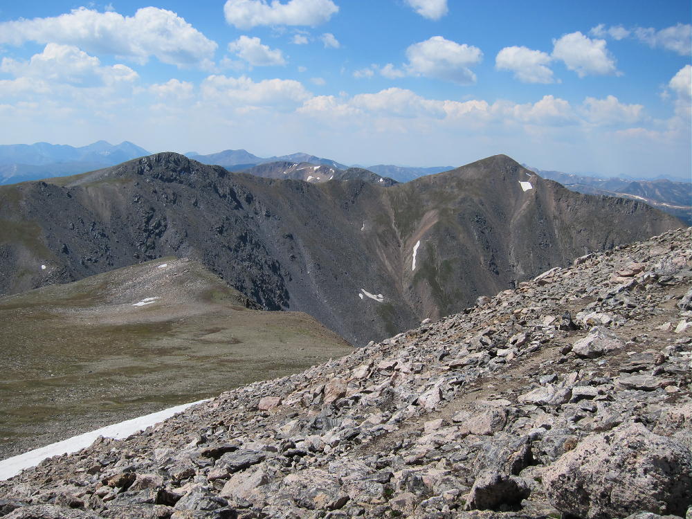
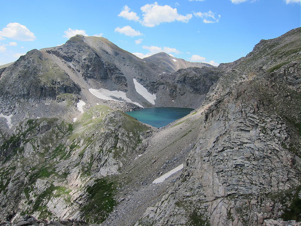
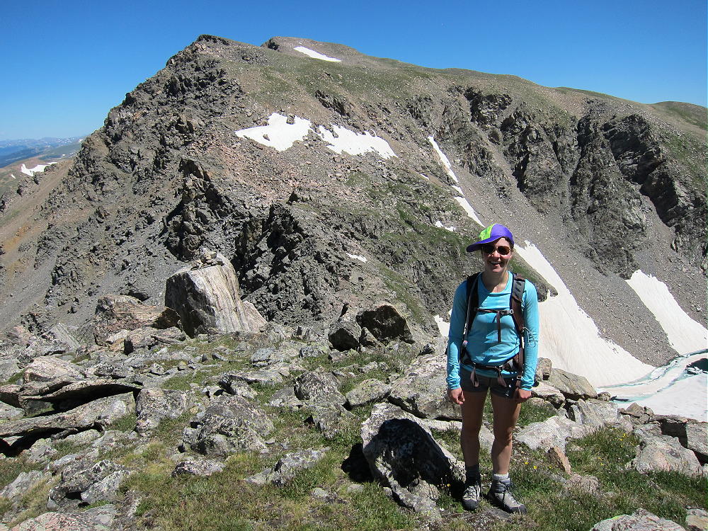
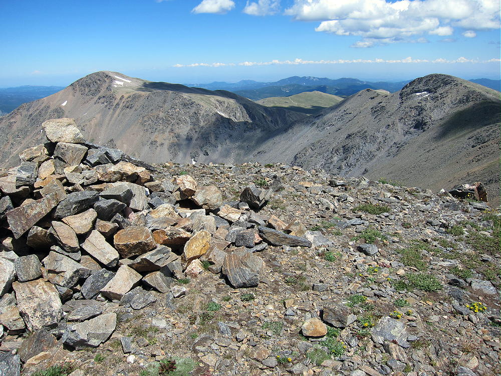
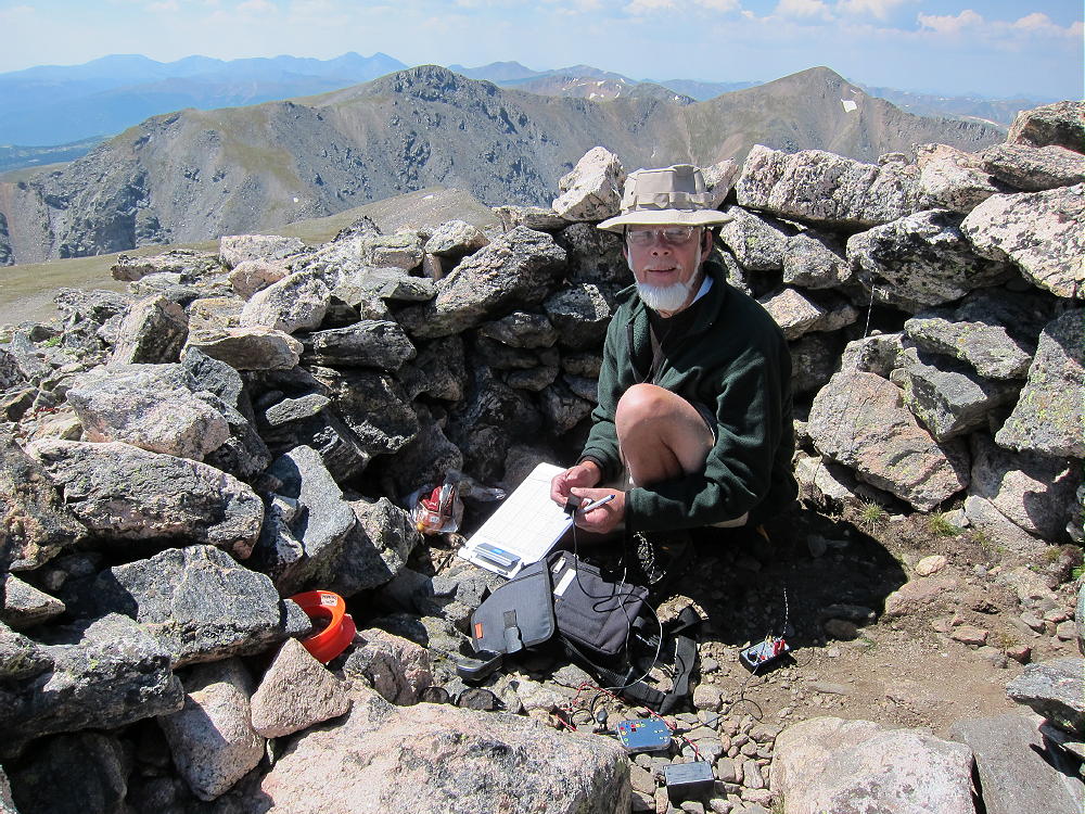
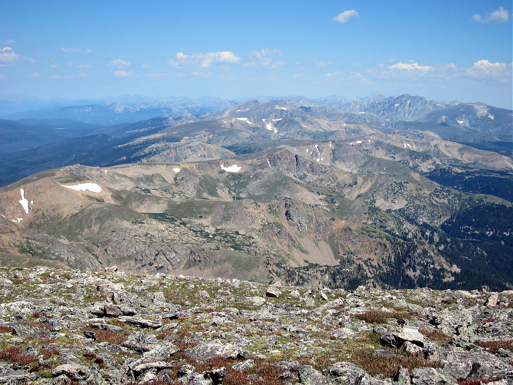
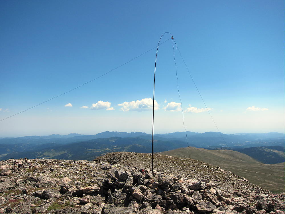
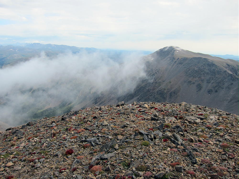
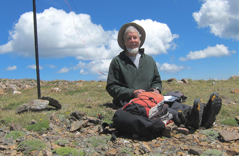
The broad summit of Parry has a large activation zone, and there is a convenient rock shelter with some protection from wind. Few people visit Parry, and it’s an ideal radio site. A pole is required for an HF activation. There are fine views all around, and it’s a pleasant summit – as long as the weather is nice.
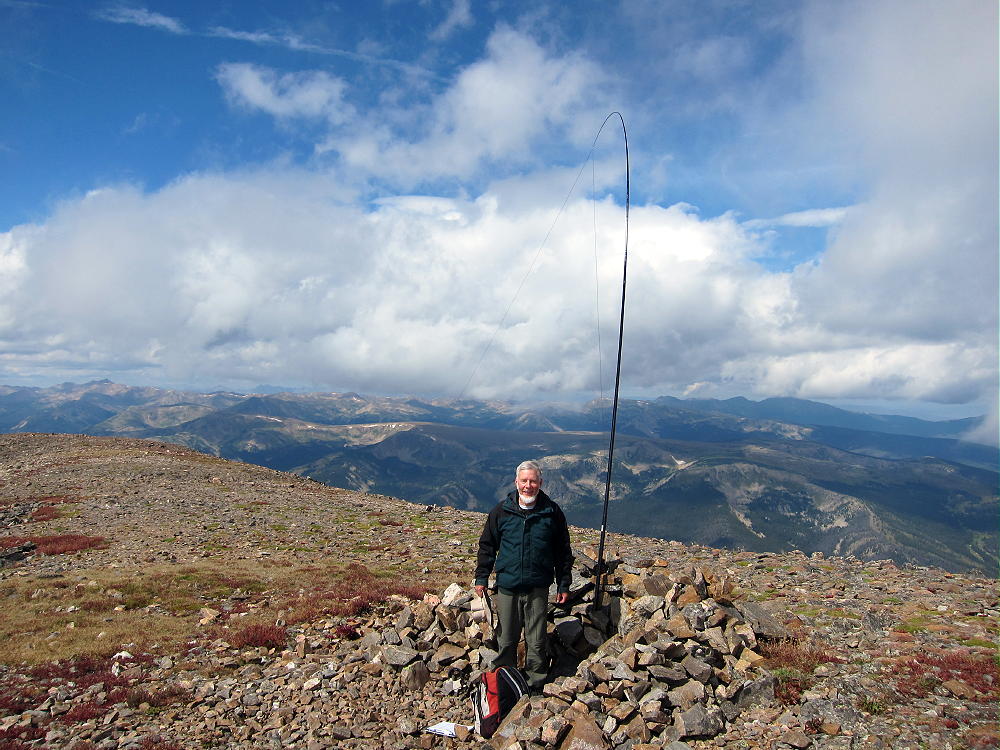
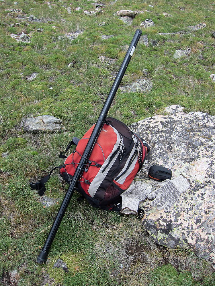
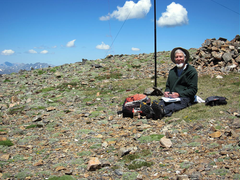
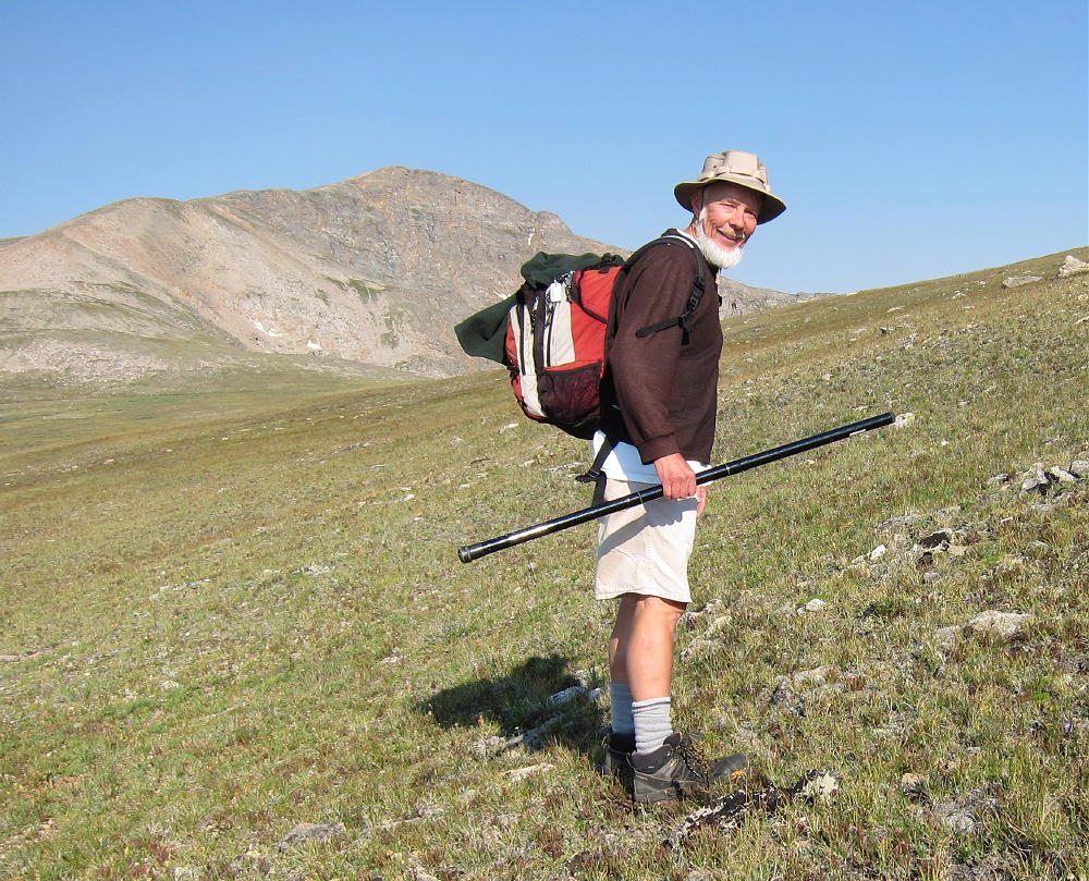
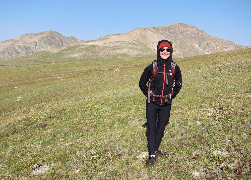
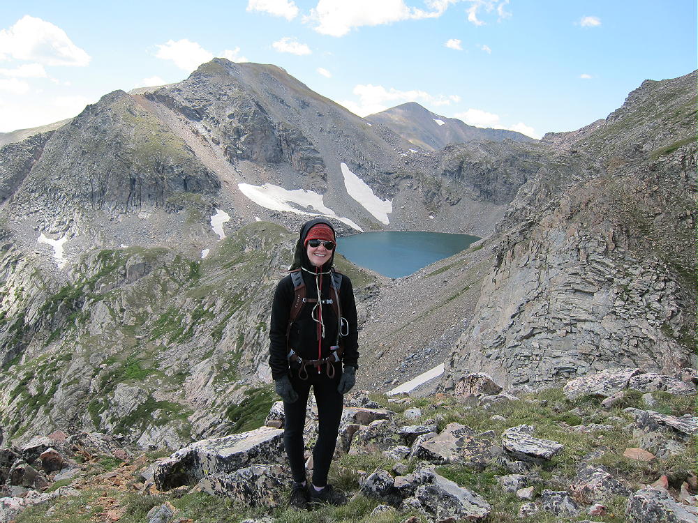
My second activation of Parry was a dual activation after climbing James. My daughter Rose accompanied me on this long, strong hike. We had good weather and enjoyed Parry. We descended Parry via the Bancroft to Loch Lomond route described above; then we hiked back up across the tundra and over Kingston Peak for almost three miles to our vehicle east of James. The total distance around the loop that day was 11.1 miles, and the total vertical ascent was about 3600 feet.
It’s possible to climb Parry from Berthoud Pass (US 40) via the Continental Divide Trail (CDT). This spectacular 5-mile (one way, approx) route leads over Mount Flora, W0C/SR-035, 3999M, 13146 ft, also on the Continental Divide. On a good, dry day it might be possible to activate both summits. The entire route is high and exposed – there is little shelter. The route starting at Berthoud Pass is less difficult than the routes from the east, but good weather is critical up on the Divide.
Parry Peak is a SOTA Classic any way you do it!
George Carey Fuller
KX0R
 !! WARNING !! There are old mountaineers, and
bold mountaineers… there are no old-bold mountaineers.
Hiking and mountain climbing are potentially hazardous activities particularly in Colorado with its extreme elevations. I am not accepting responsibility for any death or injury resulting from activations based on my trip reports. Proper training, experience, and personal capability assessment is required – enjoy!
!! WARNING !! There are old mountaineers, and
bold mountaineers… there are no old-bold mountaineers.
Hiking and mountain climbing are potentially hazardous activities particularly in Colorado with its extreme elevations. I am not accepting responsibility for any death or injury resulting from activations based on my trip reports. Proper training, experience, and personal capability assessment is required – enjoy!