


W0C/SP-086
Lost Platte Peak
3248 m / 10657 ft
First Activation
Oct 14, 2016
By KX0R
Lost Platte Peak is a fine SOTA peak in the wilderness near Bailey, Colorado.
Key Points:
• Pike National Forest
• Platte River Mountains
• Lost Creek Wilderness
• Good marked trail much of the way
• Off-trail final climb, about one mile to a pleasant summit
• Nice scenery – wilderness
• Summit is seldom visited
• ~ 12 miles round-trip
• ~ 2500 vertical feet
-
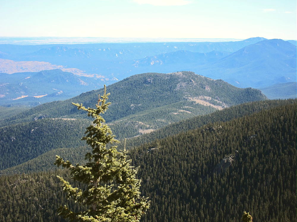
- Lost Platte Peak from Payne Benchmark
Driving Directions:
• Drive west from Denver via Highway 285 to Bailey
• Turn south on CR 64, at a bridge next to the lumber-yard
• Where the road forks, continue left, mostly west, on 2WD dirt road CR 64
• After about 2 miles, look for Payne Gulch Road on the left
• Payne Gulch Road is gated and closed to the public
• Drive past Payne Creek about 0.2 mile
• Turn left, south, on a small forest road, and continue about 0.1 mile to the parking area
• Park here – this is the Brookside-McCurdy Trailhead
• There is no charge to park or enter
• Google Maps shows the roads in this area OK
The Hike and the Climb:
• Google Maps only shows fragments of the trails here – the Trails Illustrated/National Geographic maps are much better.
• The trail first leads roughly south – it’s not very efficient, because it was built to bypass private land.
• About one mile from the trailhead, the trail splits.
-
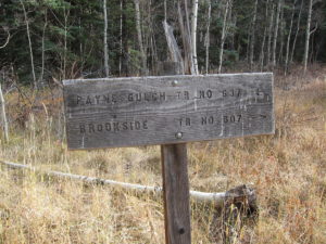
- Lost Platte Peak – Trail Sign at Split
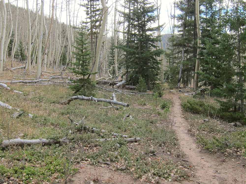
• Head left, southeast, on Payne Gulch Trail 637. This trail is less traveled than Trail 607.
• Follow Trail 637 as it leads toward Payne Creek and up into the Lost Creek Wilderness.
-
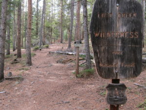
- Lost Platte Peak – Wilderness Boundary on Trail 637
• The route climbs along old logging roads to a broad pass or saddle.
-
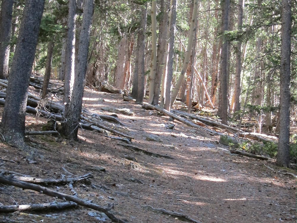
- Lost Platte Peak – Payne Gulch Trail 637
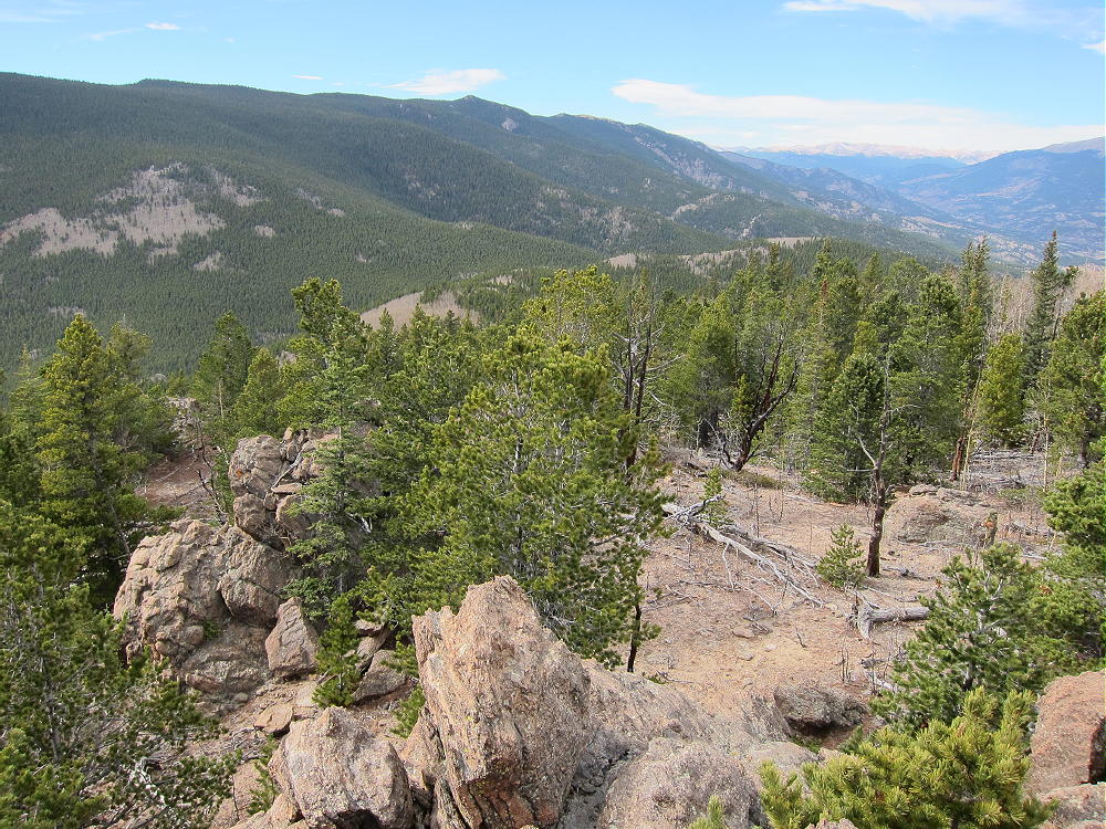
• It’s over 4 miles from the trailhead to the pass at 9900 feet:
-
- Lost Platte Peak – Saddle at about 9900 Feet on Trail 637
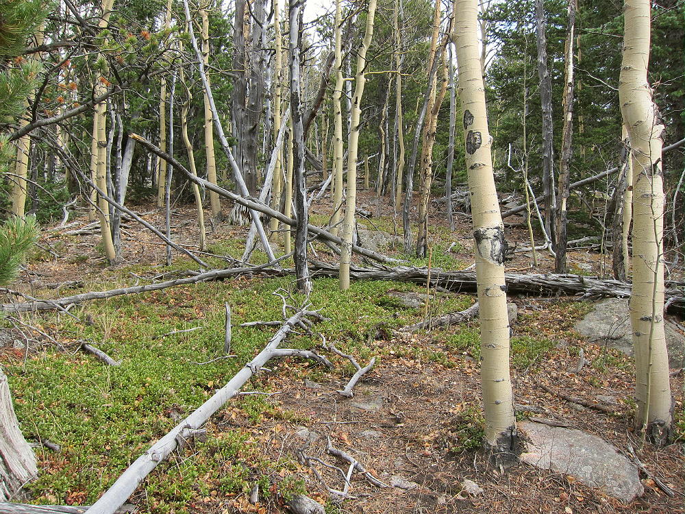
• At the pass, leave the trail and climb east-souteast through aspens
• Ascend the nearby ridge at about 10,100 feet, and follow the ridge southeast toward Lost Platte Peak.
-
- Lost Platte Peak – Off-Trail Route
• It’s more than 1 mile from the saddle at 9900 feet to the summit.
• The ridge is mixed aspen and conifer forest, with some deadfall.
• Most of the route is easy, with useful game trails.
• Climb over a small sub-peak at about 10,280 feet, and Lost Platte Peak comes into view.
-
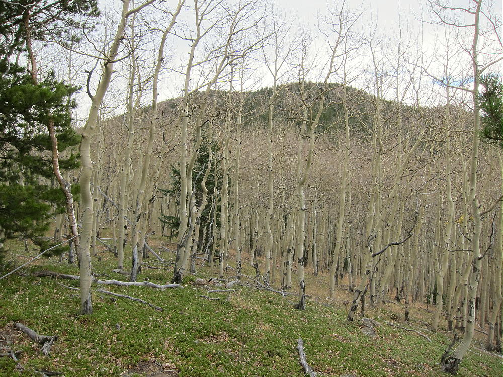
- Lost Platte Peak – Through the Trees of Sub-peak at 10280 Feet
• The final climb to the summit is about 500 vertical feet – just follow the ridge; stay slightly left, north, of any craggy spots.
-
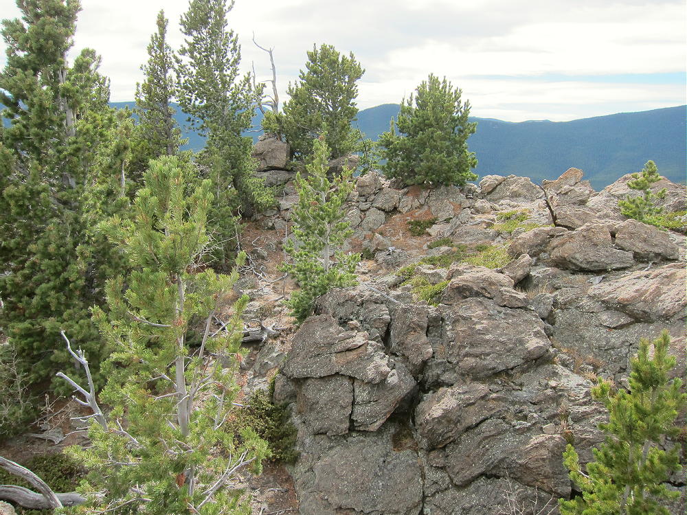
- Lost Platte Peak – Summit Rocks
Here’s an excellent report on a winter expedition to Lost Platte Peak.
Details:
Lost Platte Peak has several rocky points, and they’re all in the large activation zone. Many trees are available for holding a pole or a wire. Because of wind, I set up slightly below the top in a nice aspen grove.
-
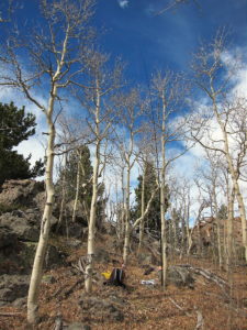
- Lost Platte Peak – First SOTA Activation
-
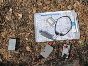
- Lost Platte Peak – KX0R Radio Gear
The peak is a fine HF radio site – very prominent and RF quiet. I logged 58 CW contacts on 4 HF bands during my SOTA first activation.
UHF/VHF coverage probably is limited to the area around Bailey, plus a few places out east.
The peak feels very high when you’re up there. The open views into the Lost Creek Wilderness reveal peaks and other features not visible from the highways around the area. Windy Peak W0C/SP-056 and Buffalo Peak W0C/FR-032 stand high in the southeast; Wellington Lake and The Castle W0C/FR-161 stand far below!
-
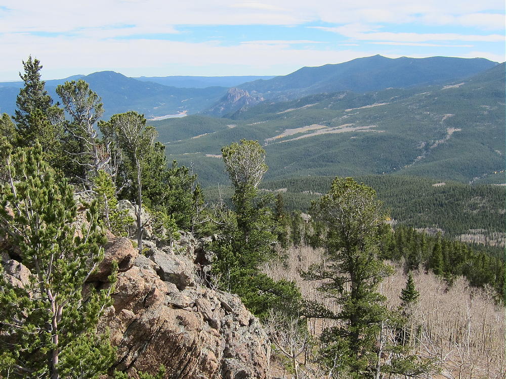
- Lost Platte Peak – View SE to Green Mountain, Wellington Lake, The Castle, and Buffalo Peak
-
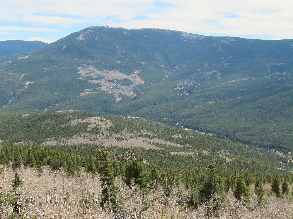
- Lost Platte Peak – View of Windy Peak across Craig Creek
The summit of Bison Peak W0C/FR-021 stands behind other mountains. There’s even a glimpse of the Plains far to the east, as well as a few peaks on the Divide in the west.
-
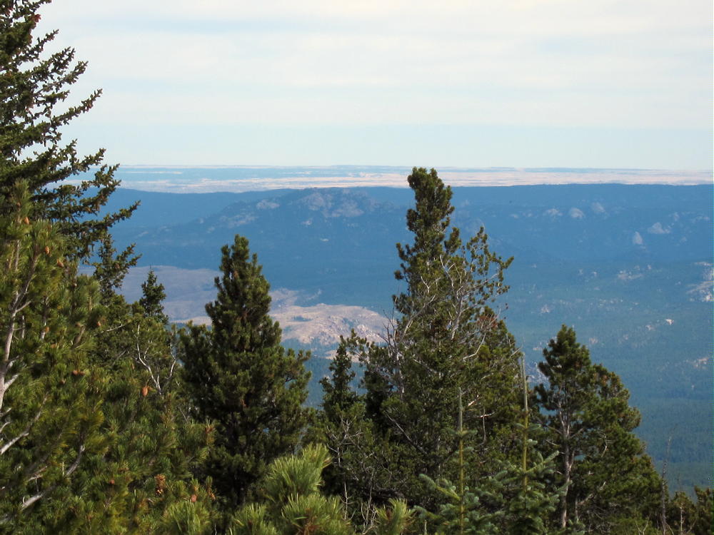
- Lost Platte Peak – View East to Plains
Despite being so close to the Denver Metro Area, the Payne Creek Trail leads to some wild country not visited by the masses. This is a special place; it provides intense solitude and wonderful vistas for the fortunate few who go up there.
-
- Lost Platte Peak – Summit View Northwest, across Saddle at 9900 feet, to Payne Benchmark
Payne Benchmark W0C/SP-061 is about 4 miles west of Lost Platte Peak, and it might be reached by hiking along the top of the Platte River Range; but activating both peaks in one day would be very difficult. Payne Benchmark also can be climbed from the same trailhead as Lost Platte Peak, via Brookside-McCurdy Trail 607.
Mount Bailey W0C/FR-062 is only a few miles east of the Brookside-McCurdy Trailhead, and it’s a practical second summit to combine with Lost Platte Peak for a dual activation.
73
George
KX0R
![]() !! WARNING !! There are old mountaineers, and
bold mountaineers... there are no old-bold mountaineers.
Hiking and mountain climbing are potentially hazardous activities particularly in Colorado with its extreme elevations. I am not accepting responsibility for any death or injury resulting from activations based on my trip reports. Proper training, experience, and personal capability assessment is required - enjoy!
!! WARNING !! There are old mountaineers, and
bold mountaineers... there are no old-bold mountaineers.
Hiking and mountain climbing are potentially hazardous activities particularly in Colorado with its extreme elevations. I am not accepting responsibility for any death or injury resulting from activations based on my trip reports. Proper training, experience, and personal capability assessment is required - enjoy!