


W0C/SP-075
11060
3371 m / 11060 ft
First Activation
Sep 18, 2016
By KX0R
Peak 11060 is a fun sub-alpine SOTA peak in the Tarryall Mountains east of South Park.
Key Points:
• Pike National Forest
• Just outside the Lost Creek Wilderness Area
• Good trail half way
• Short off-trail climb to the summit
• Nice scenery
• Excellent HF site
• 2.0 miles round-trip
• ~500 vertical feet
-
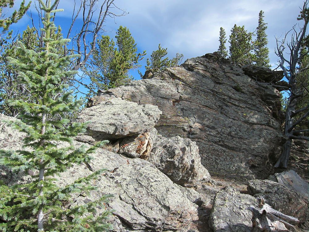
- 11060 – Summit Rocks
Driving Directions:
• Drive west on Highway 285, and cross Kenosha Pass
• About 2 miles beyond the Pass, turn left, south, on CR 56, the Lost Park Road
• This unpaved road is rocky and rough, but it’s normally a 2WD road, and high clearance is not required
• Follow the road about 13 miles to Lost Pass at 10,680 feet
• Continue on CR 56 for about 2.3 miles southeast, down the valley
• At a signed junction, turn left, north, on FR-134
• FR-134 is a humpy 2WD dirt road, but many vehicles can use it
-
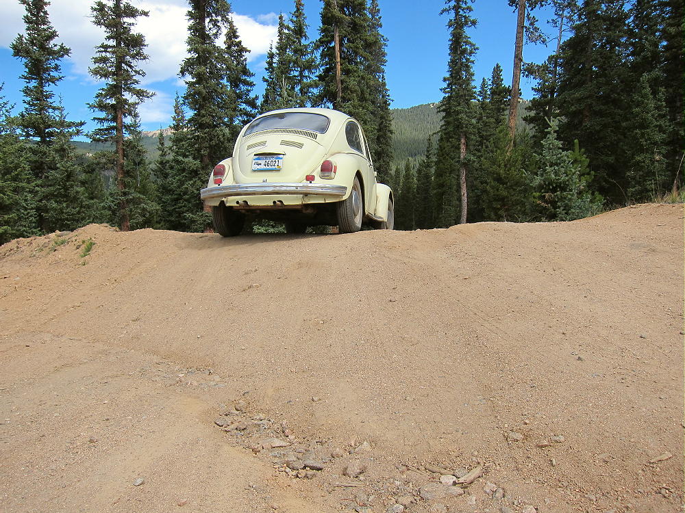
- 11060 – Hump-Bumps on Forest Road 134
• Ascend about a mile to a saddle at almost 10,600 feet
• About 500 feet northwest of this saddle, a closed road heads south into a logged area
• This road is on my older Garmin GPS map-set
• This logging road is clearly visible in Google satellite images with magnification
• Park near the closed road
-
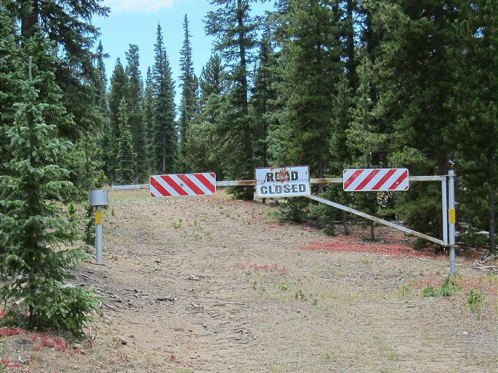
- 11060 – Closed Logging Road – Access to 11060
The Hike and Climb:
• GPS is recommended for navigation
• Walk south along the closed logging road – it’s almost level at first
• The road first passes a large, dark pile of logging waste – see Google satellite image
• Follow the road about ½ mile, until it approaches the north side of 11060 and curves to the east-northeast
• Leave the road and hike southeast up through open sub-alpine forest
• The route’s a bit steeper toward the top
• Stay on the northwest ridge, and avoid any cliffs
• Hike over some rock outcrops near the top, and continue a short distance along the forested ridge to the summit
• The peak is near a prominent rock outcrop overlooking the South Fork of Lost Creek
Additional Details:
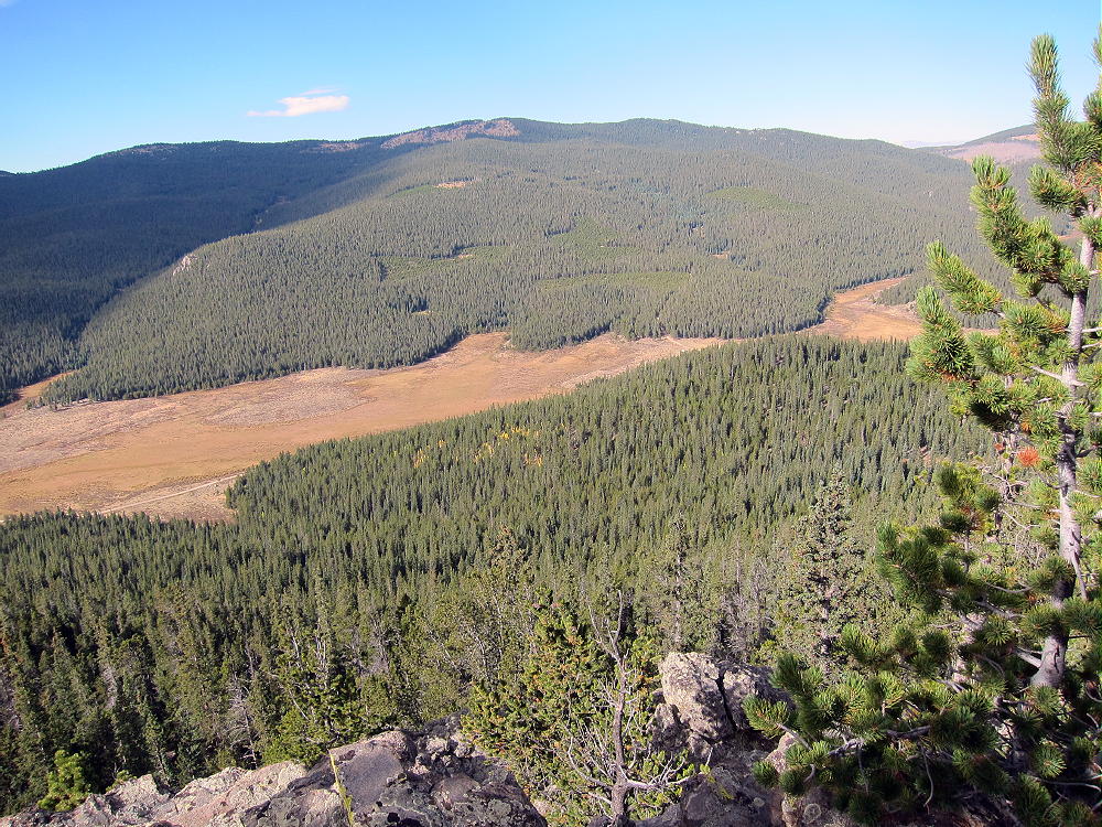
Very few people visit 11060. Even though the peak is over 11,000 feet high, distant views are limited by higher peaks in most directions. Bison Peak and Peak 11423 are visible a few miles to the south; Topaz and North Tarryall Peak stand out to the west. This summit is surprisingly pleasant and uplifting, with so many visual delights all around. The peak has a convenient balcony for looking out at the sights!
-
- 11060 – View Southwest to Topaz Mountain
There are several summits along the ridge of 11060. The sub-peak ¼ mile southeast of the actual peak looks like it’s almost the same elevation as the northwest summit.
-
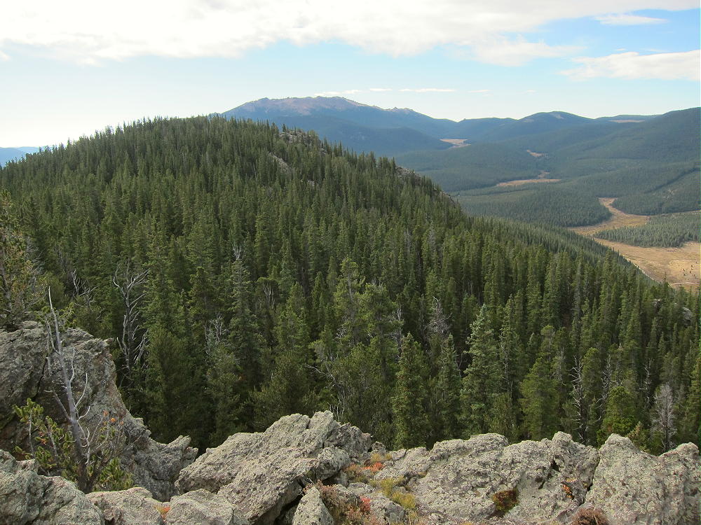
- 11060 – Summit View SSE to Sub-peak and Bison Peak
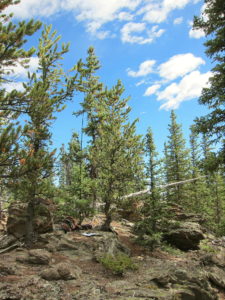
Most of the rock on the ridge is gneiss or similar; this hard, gray, metamorphic rock forms several interesting outcrops along the top. This is not the massive orange Pikes Peak granite found in many other Tarryall Range summits.
11060 is a fine HF site. Miles from development, the noise level is very low. The summit’s quite prominent and falls away quickly in most directions. The peak’s surrounded by slightly higher mountains, but they’re too far away to affect HF skip signals much. However, VHF/UHF coverage is probably poor and limited to the immediate area.
-
- 11060 – KX0R First SOTA Activation
-
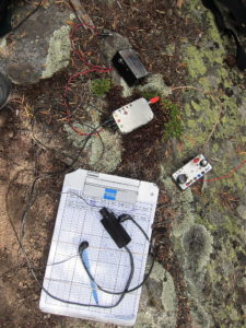
- 11060 – KX0R SOTA Radio Gear
My SOTA First Activation was fun, with 25 CW contacts logged on 7, 10, and 14 MHz.
11060 can be combined with another local summit for a dual activation.
Possibilities include:
W0C/FR-029 North Tarryall Peak
W0C/SP-068 11423
W0C/SP-062 Topaz Mountain
Etc.
Be aware of possible hunters in the fall – wear bright orange.
73
George
KX0R
-
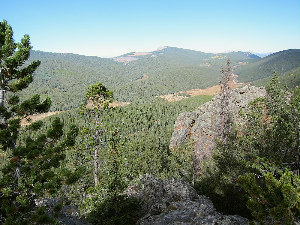
- 11060 – Summit View West to North Tarryall Peak
![]() !! WARNING !! There are old mountaineers, and
bold mountaineers... there are no old-bold mountaineers.
Hiking and mountain climbing are potentially hazardous activities particularly in Colorado with its extreme elevations. I am not accepting responsibility for any death or injury resulting from activations based on my trip reports. Proper training, experience, and personal capability assessment is required - enjoy!
!! WARNING !! There are old mountaineers, and
bold mountaineers... there are no old-bold mountaineers.
Hiking and mountain climbing are potentially hazardous activities particularly in Colorado with its extreme elevations. I am not accepting responsibility for any death or injury resulting from activations based on my trip reports. Proper training, experience, and personal capability assessment is required - enjoy!