SOTA outings by KØMOS and contributors

Tag: Tarryall Mountains

  • W0C/FR-029 (North Tarryall Peak) – 3628 m / 11902 ft

    W0C/FR-029
    North Tarryall Peak
    3628 m / 11902 ft
    Oct 15, 2016 – with N0TA

    By KX0R

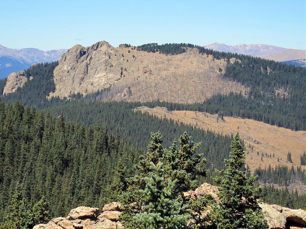
    North Tarryall Peak is a classic alpine SOTA peak in the Tarryall Mountains east of South Park.

    Pike National Forest
    • Somewhat challenging off-trail climb to the summit
    • Spectacular scenery
    • Exciting alpine summit
    • Superb radio site
    • ~ 3.5 miles round-trip
    • ~ 1250 vertical feet

    ** SOTA Classic **
    Driving Directions:

    • Drive west on Highway 285 and cross Kenosha Pass
    • About 2 miles beyond the Pass, turn left, south, on CR 56, the Lost Park Road
    • This unpaved road is rocky and rough, but it’s normally a 2WD road, and high clearance is not required
    • Follow CR 56 about 13.3 miles up to Lost Pass at 10,680 feet
    • Park at the Pass

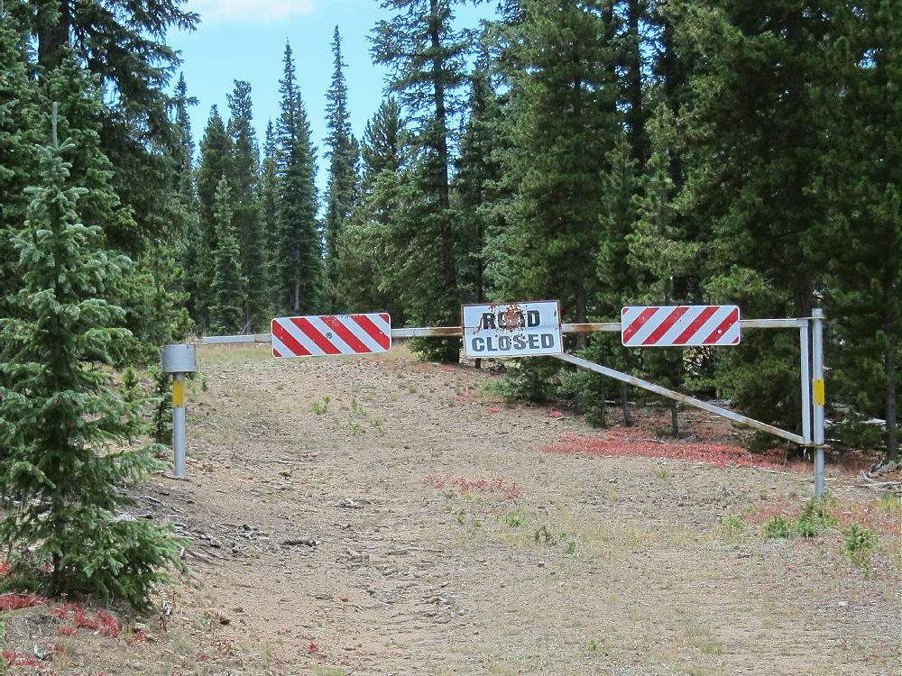
    ** Note that CR 56 may be closed seasonally – check with the  USFS **

    The Hike and the Climb:

    • A fence runs up the hill just south of the Pass
    • Hike southwest along the fence through the woods
    • Head west near the top of the hill, and go through open forest to a bench at about 11,000 feet
    • The bench is a large marsh
    • Follow a game trail southwest across the southeast side of the bench
    • Enter the forest at about 11,100 feet
    • Follow game trails south-southwest up the steep slope toward the summit
    • At about 11,650 feet, continue hiking up the rocky northeast ridge of the mountain
    • Continue on the ridge to the summit area at 11,800 feet
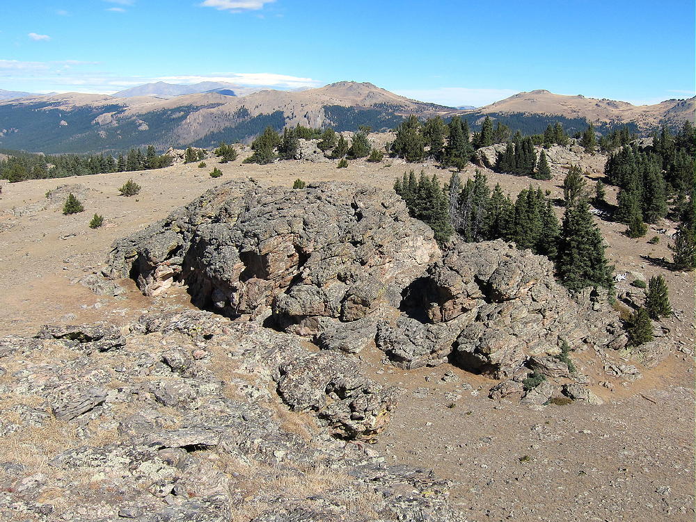
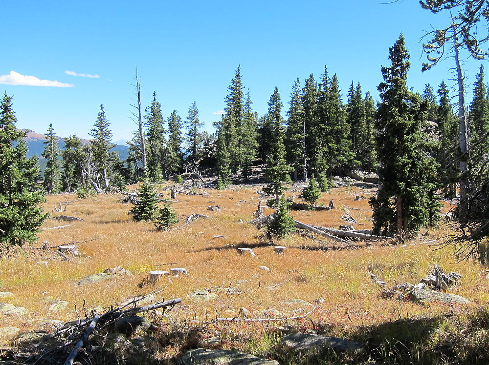
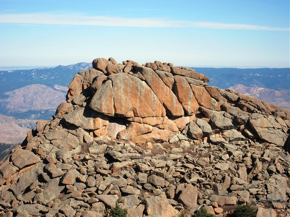
    • The rocky summit is visible to the southwest across a large alpine meadow
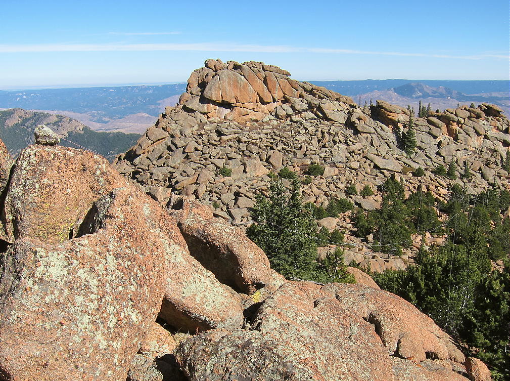
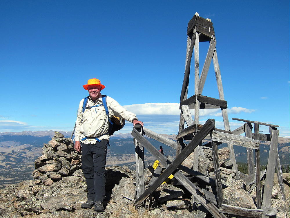
    • An impressive old triangulation station stands intact on the rocky peak
    • A convenient path leads up a gully to the summit
    Additional Details:

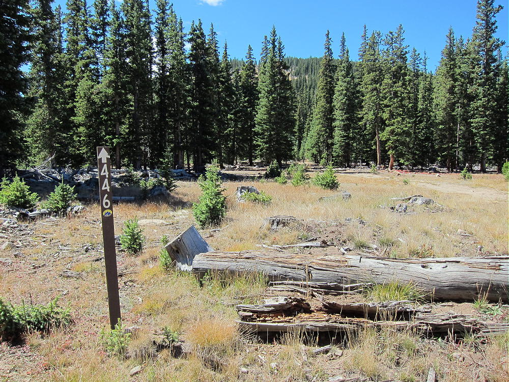
    The ascent route described above is direct and efficient. Since this way is up the northeast side of the mountain, it might not be so nice if there’s snow in the woods. Other possible routes start by driving (or hiking) south on FR-446 for a mile or two. Some old closed logging roads lead up roughly west from FR-446 and provide partial access to the upper part of the mountain. These roads are visible in the Google satellite images.

    Regardless of the route you choose, GPS navigation is a good idea up there, because the forest is so thick that the summit’s often hidden from view. A good map and a compass also can keep you on course.

    The huge activation zone definitely includes a broad sub-peak, with nice trees and shelter from wind, about 500 feet north of the triangulation station. Please see the enlarged topo map of the summit. Activating from the exposed triangulation station is also possible, but there’s little shelter from wind, and no trees are available.
    North Tarryall Peak is a perfect HF site. Far from development, the noise level is very low. The prominent summit falls away quickly in all directions. No nearby mountains significantly block HF skip signals.

    This mountain should be useful for VHF/UHF communication as well. It’s high enough to have coverage across South Park to the Divide and the Collegiate Peaks.
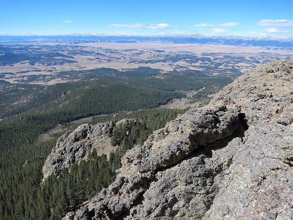
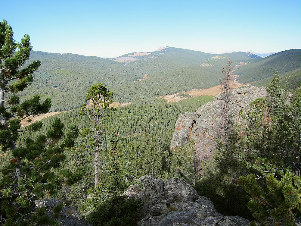
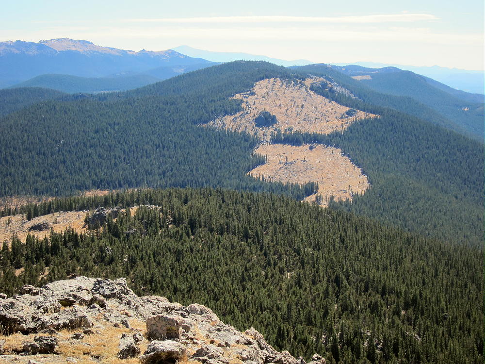
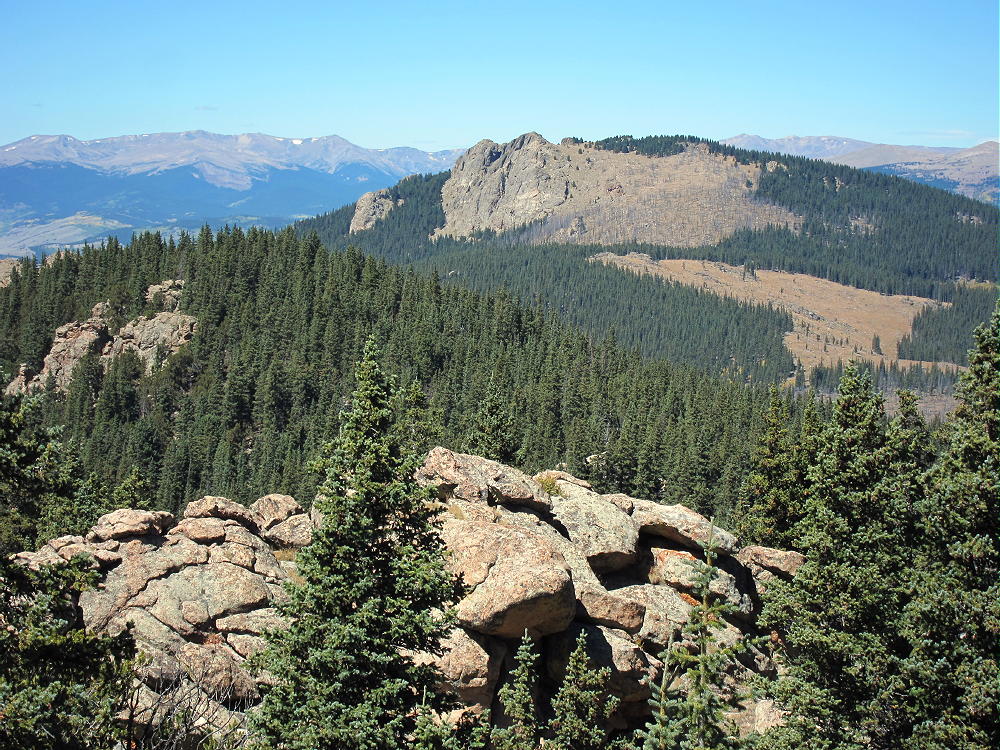
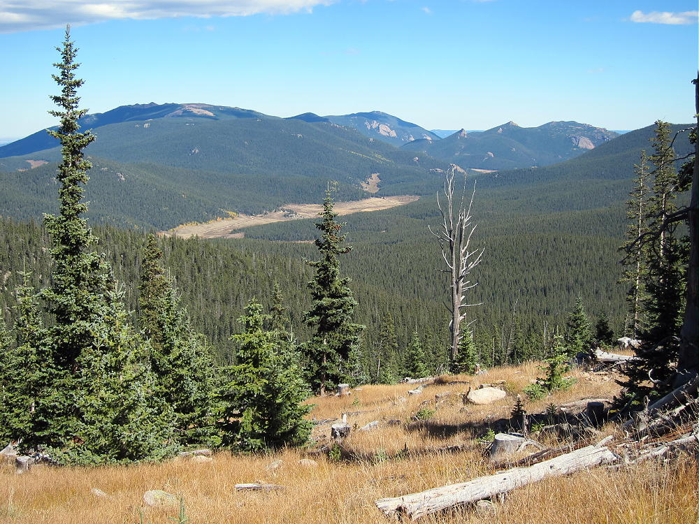
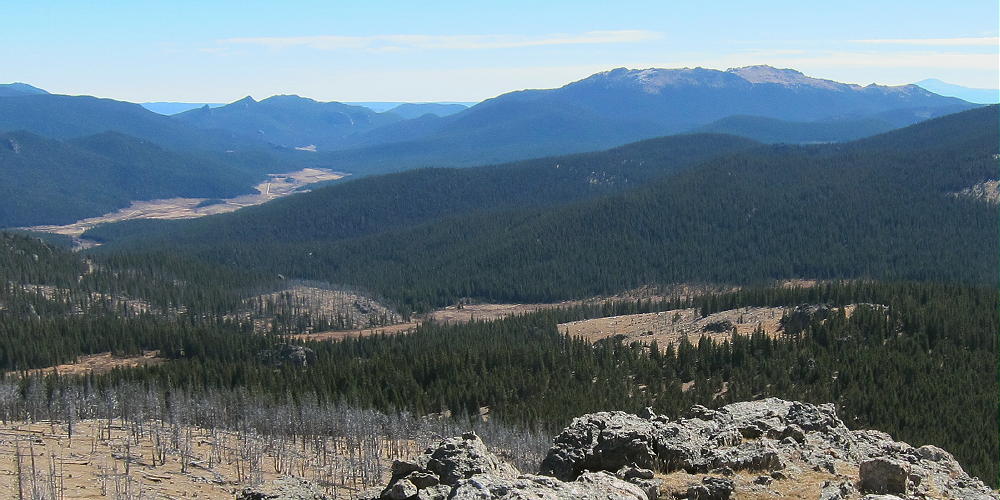
    North Tarryall Peak sits on the long, high ridge-top of the Tarryall Mountains. The open views from the cliffy summit are spectacular. Topaz Mountain W0C/SP-062 stands 2.4 miles to the southeast.
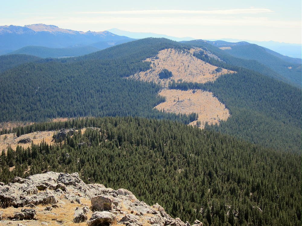
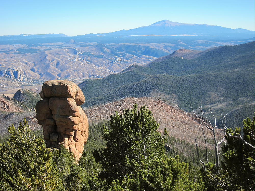
    Pikes Peak is visible far to the south, beyond Topaz Mountain, Bison Peak, and McCurdy Mountain.

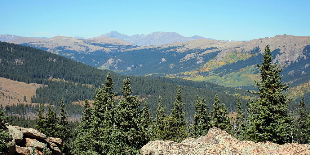
    Most of South Park spreads out far below. Other mountain ranges are easy to see far in the distance.
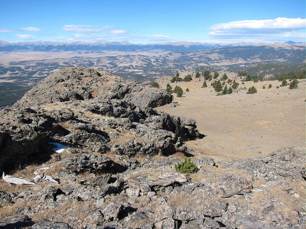
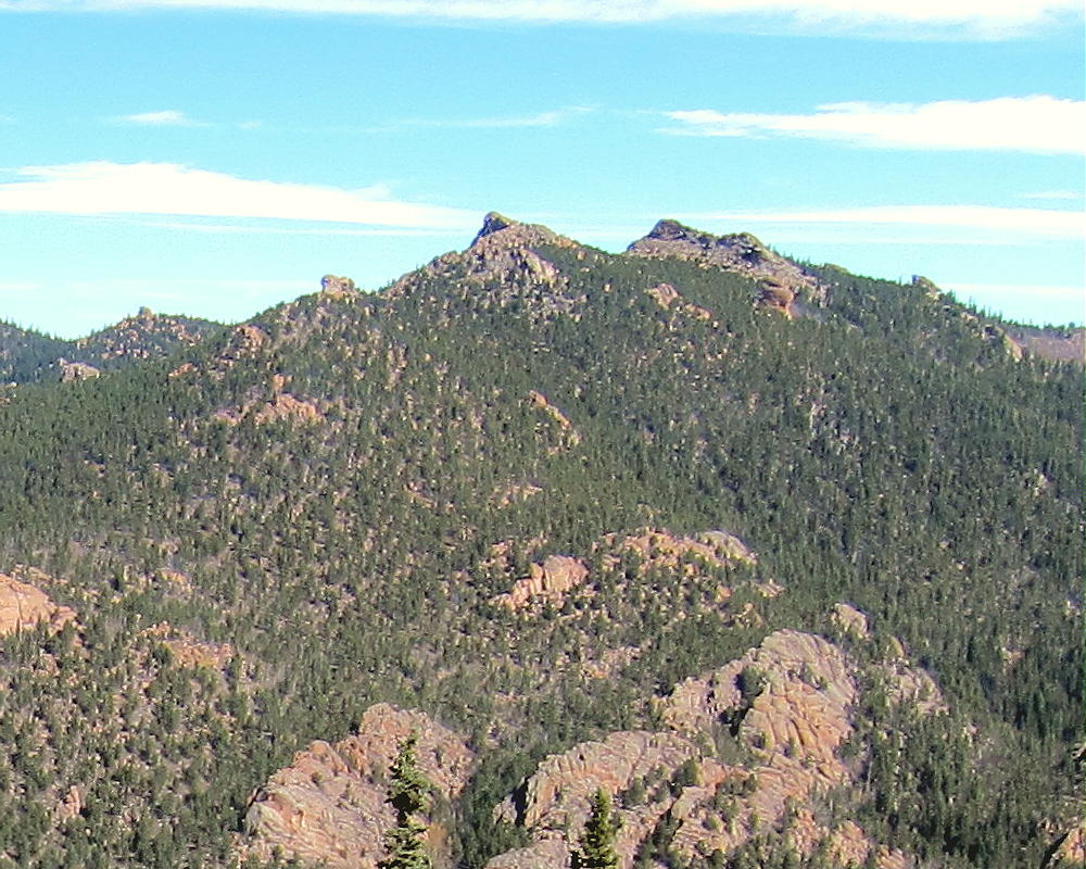
    Peak X (W0C/FR-022) and Peak Y (W0C/SP-052) stand less than 4 miles north in the Kenosha Mountains:
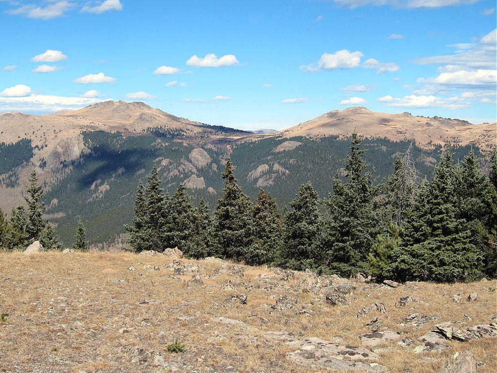
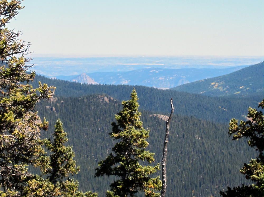
    In the southeast the eastern plains are visible, behind Lost Park and various summits in the Lost Creek Wilderness.
    North Tarryall can be combined with other nearby SOTA peaks for a dual activation:

    W0C/SP-062 Topaz Mountain 2.4 miles southeast
    W0C/SP-075 11060 4.2 miles east
    W0C/SP-068 11423 6.2 miles southeast

    North Tarryall Peak is a SOTA Classic!

    • Spectacular rocky alpine summit
    • Awesome views all around
    • Near-perfect radio site
    • Large, pleasant activation zone
    • Challenging hike
    • Relative solitude

    Thanks to Mark N0MTN for his First Activation!

    Be aware of possible hunters in the fall – wear bright orange; also note that the willow swamps east of the summit are prime moose territory.

    73

    George
    KX0R

    ATTENTION !! WARNING !! There are old mountaineers, and bold mountaineers… there are no old-bold mountaineers. Hiking and mountain climbing are potentially hazardous activities particularly in Colorado with its extreme elevations. I am not accepting responsibility for any death or injury resulting from activations based on my trip reports. Proper training, experience, and personal capability assessment is required – enjoy!
  • W0C/SP-075 (11060) – 3371 m / 11060 ft

    W0C/SP-075
    11060
    3371 m / 11060 ft
    First Activation
    Sep 18, 2016

    By KX0R

    Peak 11060 is a fun sub-alpine SOTA peak in the Tarryall Mountains east of South Park.

    Key Points:

    Pike National Forest
    • Just outside the Lost Creek Wilderness Area
    • Good trail half way
    • Short off-trail climb to the summit
    • Nice scenery
    • Excellent HF site
    • 2.0 miles round-trip
    • ~500 vertical feet

    Driving Directions:

    • Drive west on Highway 285, and cross Kenosha Pass
    • About 2 miles beyond the Pass, turn left, south, on CR 56, the Lost Park Road
    • This unpaved road is rocky and rough, but it’s normally a 2WD road, and high clearance is not required
    • Follow the road about 13 miles to Lost Pass at 10,680 feet
    • Continue on CR 56 for about 2.3 miles southeast, down the valley
    • At a signed junction, turn left, north, on FR-134
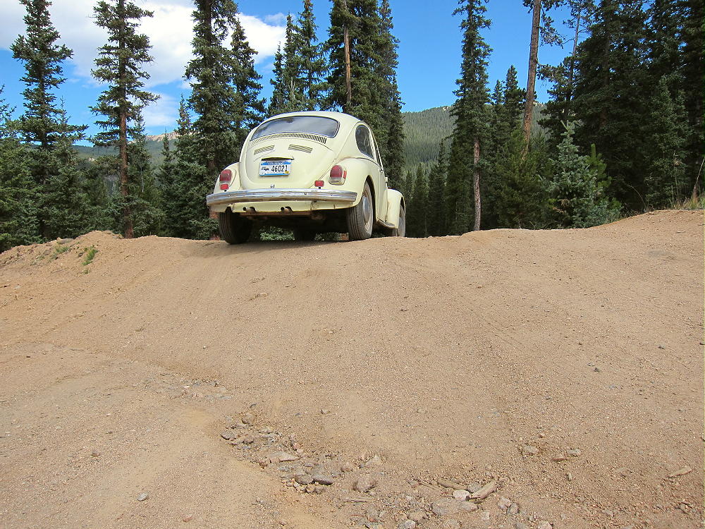
    • FR-134 is a humpy 2WD dirt road, but many vehicles can use it


    • Ascend about a mile to a saddle at almost 10,600 feet
    • About 500 feet northwest of this saddle, a closed road heads south into a logged area
    • This road is on my older Garmin GPS map-set
    • This logging road is clearly visible in Google satellite images with magnification
    • Park near the closed road

    The Hike and Climb:

    • GPS is recommended for navigation
    • Walk south along the closed logging road – it’s almost level at first
    • The road first passes a large, dark pile of logging waste – see Google satellite image
    • Follow the road about ½ mile, until it approaches the north side of 11060 and curves to the east-northeast
    • Leave the road and hike southeast up through open sub-alpine forest
    • The route’s a bit steeper toward the top
    • Stay on the northwest ridge, and avoid any cliffs
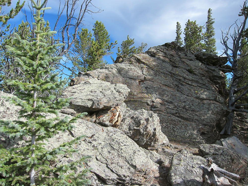
    • Hike over some rock outcrops near the top, and continue a short distance along the forested ridge to the summit
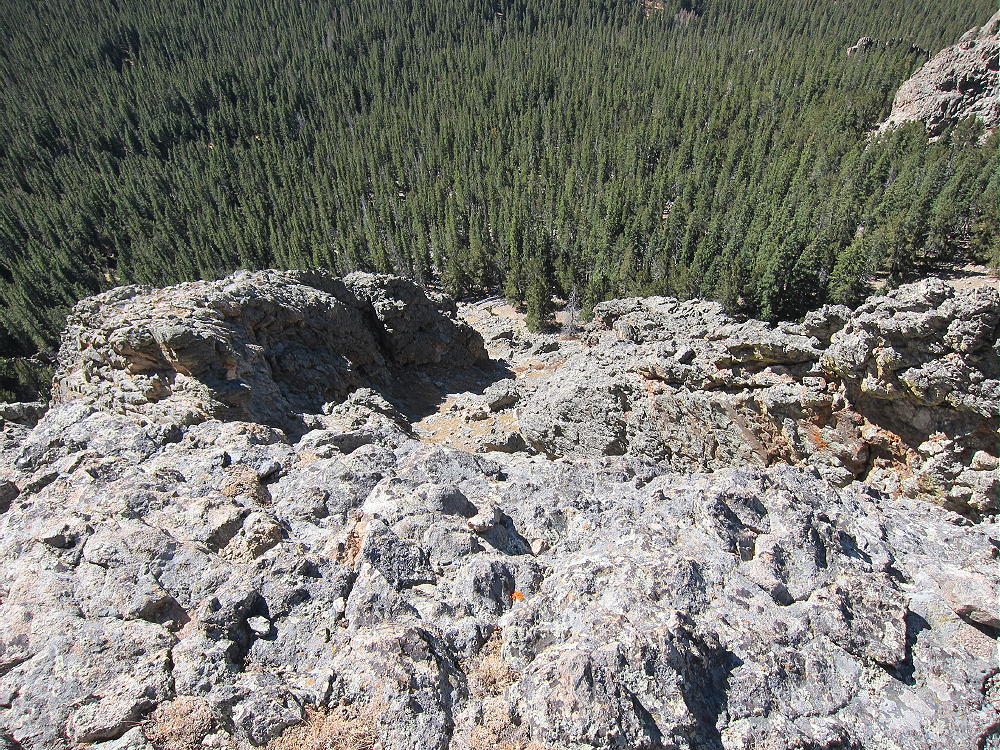
    • The peak is near a prominent rock outcrop overlooking the South Fork of Lost Creek

    Additional Details:

    Very few people visit 11060. Even though the peak is over 11,000 feet high, distant views are limited by higher peaks in most directions. Bison Peak and Peak 11423 are visible a few miles to the south; Topaz and North Tarryall Peak stand out to the west. This summit is surprisingly pleasant and uplifting, with so many visual delights all around.  The peak has a convenient balcony for looking out at the sights!

    There are several summits along the ridge of 11060. The sub-peak ¼ mile southeast of the actual peak looks like it’s almost the same elevation as the northwest summit.

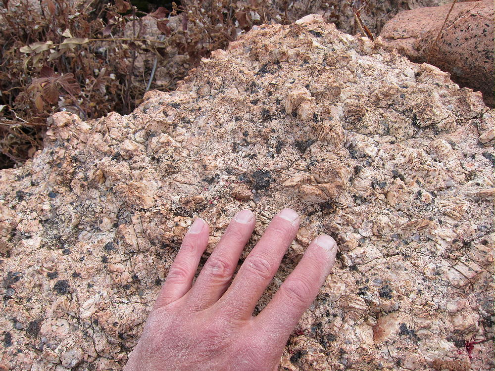
    Most of the rock on the ridge is gneiss or similar; this hard, gray, metamorphic rock forms several interesting outcrops along the top.  This is not the massive orange Pikes Peak granite found in many other Tarryall Range summits.

    11060 is a fine HF site. Miles from development, the noise level is very low. The summit’s quite prominent and falls away quickly in most directions. The peak’s surrounded by slightly higher mountains, but they’re too far away to affect HF skip signals much. However, VHF/UHF coverage is probably poor and limited to the immediate area.

    My SOTA First Activation was fun, with 25 CW contacts logged on 7, 10, and 14 MHz.

    11060 can be combined with another local summit for a dual activation.
    Possibilities include:

    W0C/FR-029 North Tarryall Peak
    W0C/SP-068 11423
    W0C/SP-062 Topaz Mountain
    Etc.

    Be aware of possible hunters in the fall – wear bright orange.

    73

    George
    KX0R


    ATTENTION !! WARNING !! There are old mountaineers, and bold mountaineers… there are no old-bold mountaineers. Hiking and mountain climbing are potentially hazardous activities particularly in Colorado with its extreme elevations. I am not accepting responsibility for any death or injury resulting from activations based on my trip reports. Proper training, experience, and personal capability assessment is required – enjoy!
  • W0C/SP-062 (Topaz Mountain) – 3585 m / 11762 ft

    W0C/SP-062
    Topaz Mountain
    3585 m / 11762 ft
    First Activation
    Sep 18, 2016

    By KX0R

    Key Points:

    Topaz Mountain is a surprisingly accessible sub-alpine SOTA peak in the Tarryall Mountains east of South Park.

    Pike National Forest
    • Jeep trails provide access close to the peak
    • Short, moderate off-trail climb to the summit
    • Fine scenery, nice views
    • Pleasant summit
    • Excellent Radio site
    • ~ 2.0 miles round-trip
    • ~ 600 vertical feet

    Driving Directions:

    • Drive west on Highway 285 and cross Kenosha Pass
    • About 2 miles beyond the Pass, turn left, south, on CR 56, the Lost Park Road
    • This unpaved road is rocky and rough, but it’s normally a 2WD road, and high clearance is not required
    • Follow the road about 13 miles up to Lost Pass at 10,680 feet
    • About 0.3 miles east of the Pass, turn right, south, on FR-446
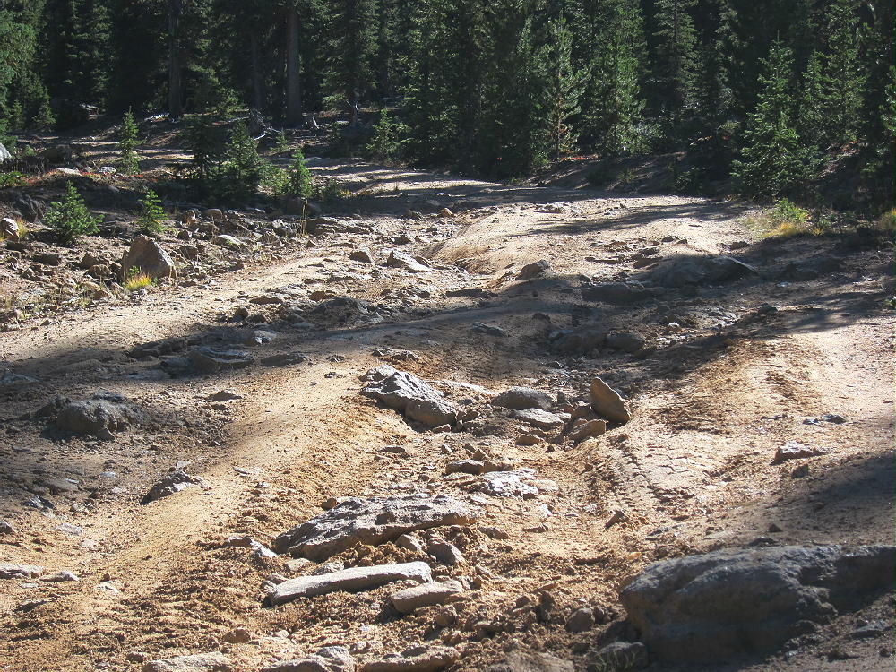
    • FR-446 is a high-clearance 2WD road if it’s dry
    • The road has some steep and rocky spots as it approaches Topaz Mountain


    • Depending on your vehicle, you may be able to drive close to Topaz
    • Even if you park part way, the hike up the road is easy
    • Drive or hike to a gentle saddle at 11,200 feet northeast of Topaz
    • An old logging road leads off west to a campsite – park here
    • This point is about 4.2 driving miles from the turn-off from Road 56

    The Hike:

    • Hike along the logging road toward the summit – follow it as it ascends northeast of the peak
    • From the end of the road, continue toward the summit
    • Hike southwest up a steep, clear-cut meadow almost to the top


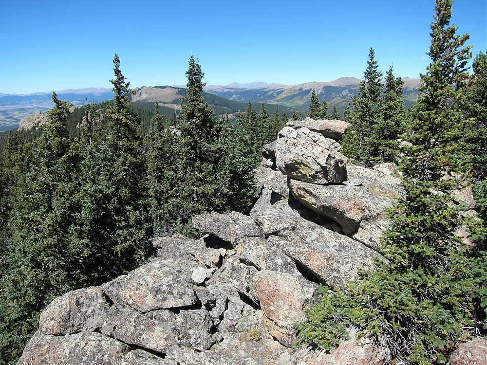
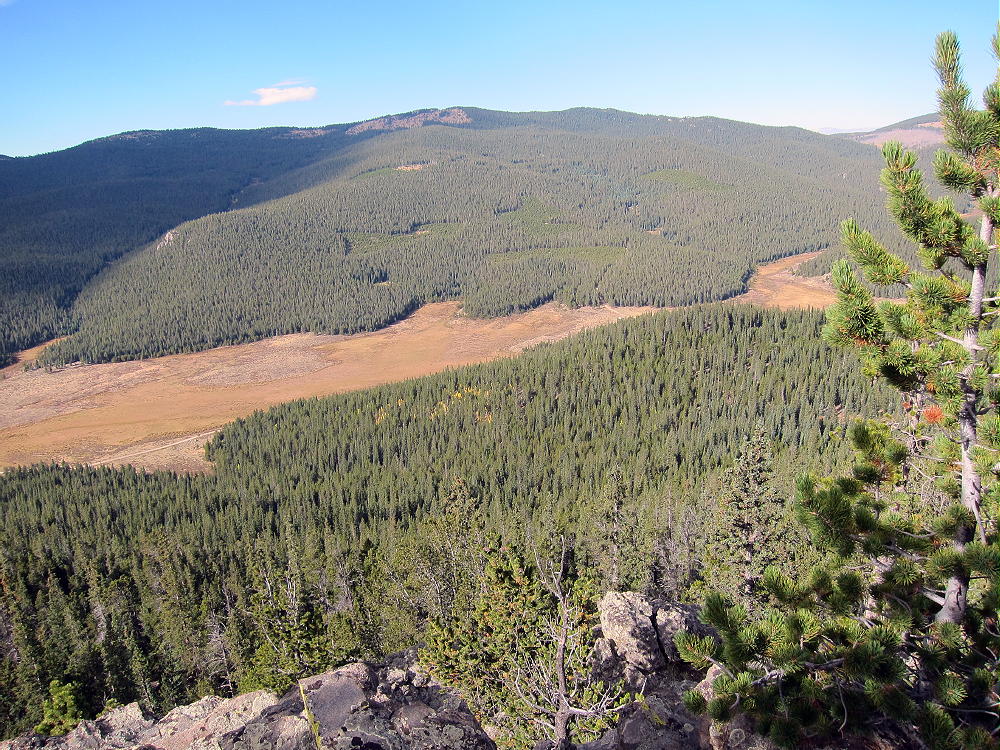
    • The summit is on a forested rock outcrop just above a clear-cut open area; the views are awesome:

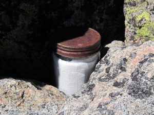
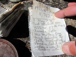
    A jar with a summit register is available on the summit:

    Additional Details:

    The off-trail ascent from the closed logging road to the peak is only about 1/2 mile, with a vertical gain of 500 feet. While not a drive-up summit, Topaz is one of the more accessible peaks in the area, especially if you have a 4WD vehicle and the road’s open.

    Topaz Mountain is a near-perfect HF site. Far from development, the noise level is very low. The prominent summit falls away quickly in all directions. No nearby mountains block HF skip signals. The activation zone is large, with sunny, sheltered spots just south of the craggy peak.

    My log shows 37 CW contacts on 7-10-14 MHz. EA2IF Guru contacted me from Spain on 14 Mhz.

    This summit should be useful for VHF/UHF communication as well. It’s high enough to see across much of South Park to the Divide and the Collegiate Peaks. There’s even a glimpse of the Eastern Plains:


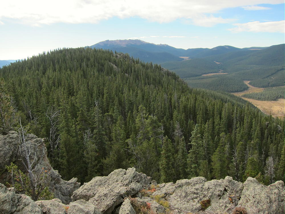
    The peak sits on the long, high ridge-top of the Tarryall Mountains. The open views from the craggy summit are spectacular. North Tarryall Peak W0C/FR-029 stands with its high cliffs 2 miles to the northwest.

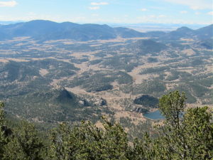
    Most of South Park spreads out far below. Other mountain ranges look like high waves in the distance.

    Topaz Mountain can be combined with another nearby SOTA peak for a dual activation. My dual activation with W0C/SP-075 11060 worked well.

    W0C/SP-075 11060
    W0C/SP-068 11423
    W0C/FR-029 North Tarryall Peak
    etc.

    Be aware of possible hunters in the fall – wear bright orange.

    73

    George
    KX0R


    ATTENTION !! WARNING !! There are old mountaineers, and bold mountaineers… there are no old-bold mountaineers. Hiking and mountain climbing are potentially hazardous activities particularly in Colorado with its extreme elevations. I am not accepting responsibility for any death or injury resulting from activations based on my trip reports. Proper training, experience, and personal capability assessment is required – enjoy!
  • W0C/SP-069 (Lake Park Peak) – 3476 m / 11403 ft

    W0C/SP-069
    Lake Park Peak
    3476 m / 11403 ft
    First Activation
    Oct 20, 2016

    By KX0R

    Lake Park Peak is a challenging sub-alpine SOTA peak in the Tarryall Mountains east of South Park.

    Key Points:

    Pike National Forest
    Lost Creek Wilderness Area
    • Good trail most of the way
    • Challenging off-trail climb to the summit
    • Great scenery
    • Excellent Radio site
    • ~ 12.5 miles round-trip
    • ~ 3000 vertical feet

    Driving Directions:

    • Drive Highway 285 west from Denver, cross Kenosha Pass, and continue to Jefferson
    • Turn south on Highway 77 and go about 16 miles to Tarryall Reservoir
    • Continue south on 77 for about 10.7 miles to the trailhead at Spruce Grove Campground
    • This campground is about a mile south of Tarryall Ranch
    • Look for a sign for the USFS Spruce Grove Campground on the east side
    • Park outside the campground, away from the gate
    • There is no charge to park

    The Hike and Climb:

    • Google Maps is inadequate for hiking in this area – trails are missing
    • The Trails Illustrated/National Geographic maps are fine
    • GPS is useful and recommended
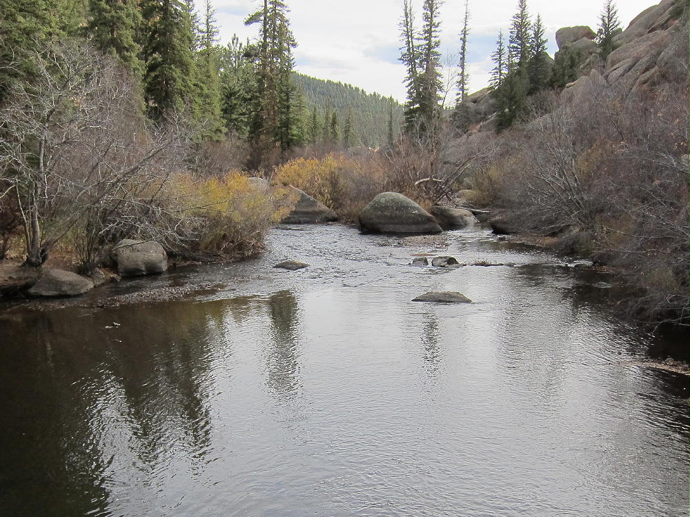
    • Walk from the trailhead down into the campground, and head slightly east and down to Tarryall Creek
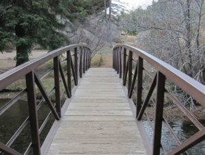
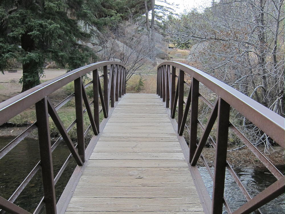
    • Cross the creek on a large footbridge
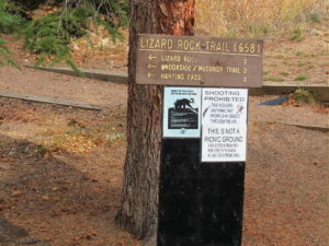
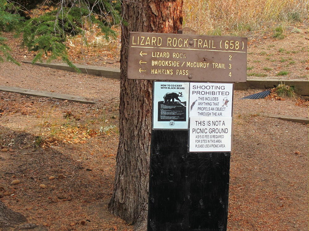
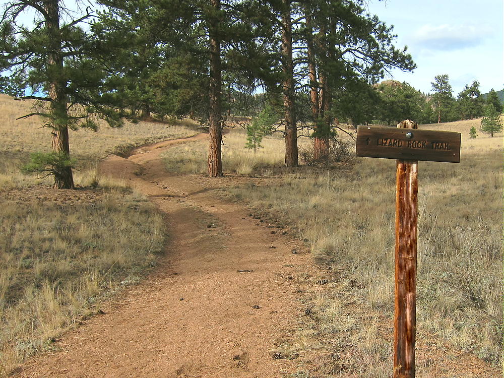
    • Immediately head left, upstream, on trail Lizard Rock Trail 658
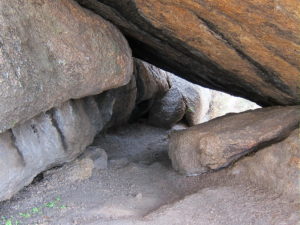
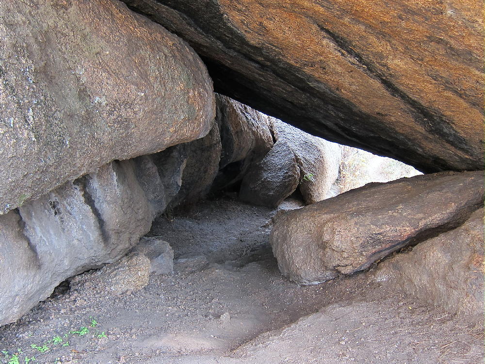
    • The route passes through a tunnel under a large boulder


    • Continue north through open meadows and up a small canyon on Trail 658


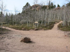
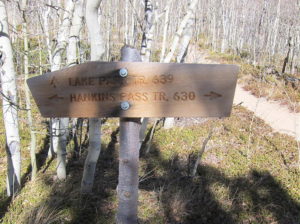
    • Where the trail comes to a T-junction, turn right, east on Trail 630 toward Hankins Pass. The trail signs were missing or damaged when I was there.
    • Follow the trail up more than a mile to Hankins Pass.


    • At the Pass, turn left, north, and follow marked Trail 639 as it climbs switchbacks up toward Lake Park.
    • Near 10,900 feet the trail reaches an obvious saddle – Lake Park is visible below
    • Head right, off the trail to the east, and climb toward the ridge southwest of Lake Park Peak
    • Near the top of the ridge, at about 11,100 feet, contour around to the east, to the south side of Lake Park Peak


    • Climb up through forest and rocks until you see the summit, and then head up the knobby Pikes Peak granite to the top.
    • This route avoids rock climbing and scrambling along the craggy southwest ridge
    • Note that the western summit is slightly higher than the steep eastern sub-peak, which stands about 500 feet away

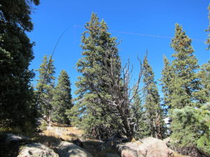
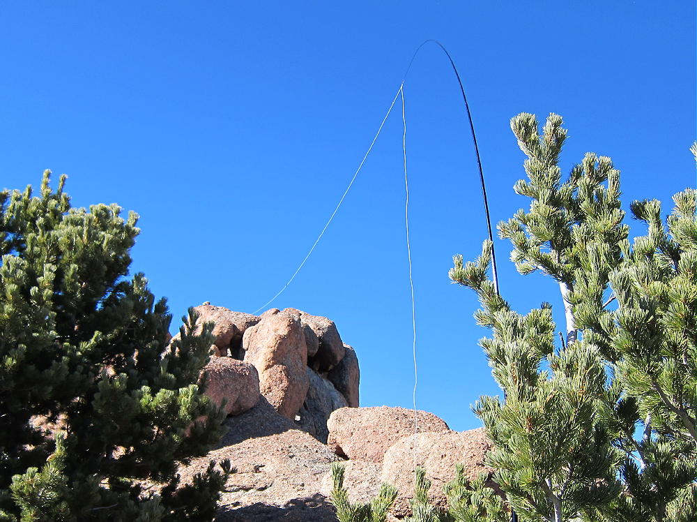
    In the image above, look carefully at lower right for the white wire antenna running all the way up to the rock at upper left.

    Additional Details:

    The off-trail part of this ascent is harder than it looks on the map, and it may take longer than you expect! I climbed via the southwest ridge, which involves route-finding and some class-3 moves in several spots. The orange granite is good rock, and the ridge up to the summits is interesting, with many weird rock formations. Lake Park Peak is rarely visited, but it’s visually fascinating.

    The actual summit is all granite, and setting up a pole there may be difficult. I moved down to the east and tied my pole to a pine tree; I ran the wire up to the ridge near the summit. I had shelter from the wind, warm sun, and an excellent spot to operate from.

    Lake Park Peak is a perfect HF site. Miles from any development, the noise level is very low. The prominent summit falls away quickly in all directions. No nearby mountains cause significant blockage of HF skip signals.

    My SOTA First Activation was fun. I made 26 CW contacts on 3 HF bands.

    The peak may be a useful VHF/UHF site as well. It’s high enough to see parts of the Eastern Plains, Pikes Peak, and across South Park to the Collegiate Peaks.

    Check this link for more info on the Lost Creek Wilderness.

    Be aware of possible hunters in the fall – wear bright orange.

    73

    George
    KX0R


    ATTENTION !! WARNING !! There are old mountaineers, and bold mountaineers… there are no old-bold mountaineers. Hiking and mountain climbing are potentially hazardous activities particularly in Colorado with its extreme elevations. I am not accepting responsibility for any death or injury resulting from activations based on my trip reports. Proper training, experience, and personal capability assessment is required – enjoy!
  • W0C/FR-038 (South Tarryall Peak) – 3416 m / 11206 ft

    W0C/FR-038
    South Tarryall Peak
    3416 m / 11206 ft
    Oct 12, 2016

    By KX0R

    South Tarryall Peak is a challenging sub-alpine SOTA peak in the Lost Creek Wilderness, east of South Park.

    Pike National Forest
    Lost Creek Wilderness Area
    • Good trail most of the way
    • Challenging off-trail climb to the summit
    • Awesome scenery
    • Excellent Radio site
    • 10.0 miles round-trip
    • 2700 vertical feet

    Driving Directions:

    • Drive down 285, cross Kenosha Pass, and continue to Jefferson
    • Turn south on Highway 77 and drive about 16 miles to Tarryall Reservoir
    • Continue south on 77 for about 10.7 miles to the trailhead at Spruce Grove Campground
    • This campground is about a mile south of Tarryall Ranch
    • Look for a sign for the USFS Spruce Grove Campground on the east side
    • Park outside the campground, away from the gate
    • There is no charge to park

    The Hike and the Climb:

    • Google Maps is inadequate for hiking in this area – trails are missing
    • The Trails Illustrated/National Geographic maps are fine
    • GPS is useful and recommended
    • Walk from the trailhead down into the campground
    • Head slightly east and down to Tarryall Creek
    • Cross the creek on a large footbridge
    • Immediately head left, upstream, on Lizard Rock Trail 658
    • The route passes through a tunnel under a large boulder

    • Continue north through open meadows and up a small canyon on Trail 658

    • Where the trail comes to a T-junction, turn right, east, on Hankins Pass Trail 630. Some trail signs were missing or damaged when I was there.
    • Follow the trail up more than a mile to Hankins Pass.


    • At the Pass, turn right, south, and hike off-trail, past a campsite, and up into the forest
    • Follow a social trail up toward a large rock formation about 200 yards to the south


    • Stay on the right (north) side of the rock formation and ascend south
    • From the southern end of the rock formation, continue climbing south along a ridge
    • The ridge leads south to the saddle east of South Tarryall Peak
    • There’s a path with occasional cairns almost all the way up to the high saddle


    • At the top of the ridge, break out of the forest and climb up to the wide saddle at 10,960 feet.

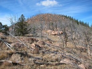
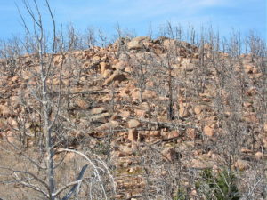
    • The saddle and the peak have been burned by a fire; numerous dead trees stand or lie on the slopes

    • Climb west from the saddle up the rocky ridge to the summit

    Additional Details:

    The trails to Hankins Pass are excellent; this part of the hike is relatively efficient.

    The off-trail part of this ascent is easier than it looks on the map, provided you go up to the large rock formation and then follow the ridge route up to the saddle, as described above. The mountain is all Pikes Peak granite, with numerous knobs and bumps.

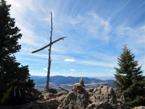
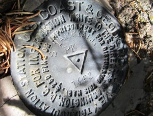
    An old triangulation station stands on the peak – it’s a large pole with a cross. The USCGS benchmark stands underneath the cross, and the steel guy wires are still holding up the pole. Incredible views spread out in all directions.

    South Tarryall Peak is a perfect HF site. Far above development below, the noise level is very low. The prominent summit falls away quickly in all directions. No nearby mountains block HF skip signals, except perhaps a couple of higher peaks to the east. Several good spots are available for setting up a pole and operating radio gear.

    The peak may be useful for VHF/UHF communication as well. It’s high enough to see areas to the south and across South Park to the Collegiate Peaks.

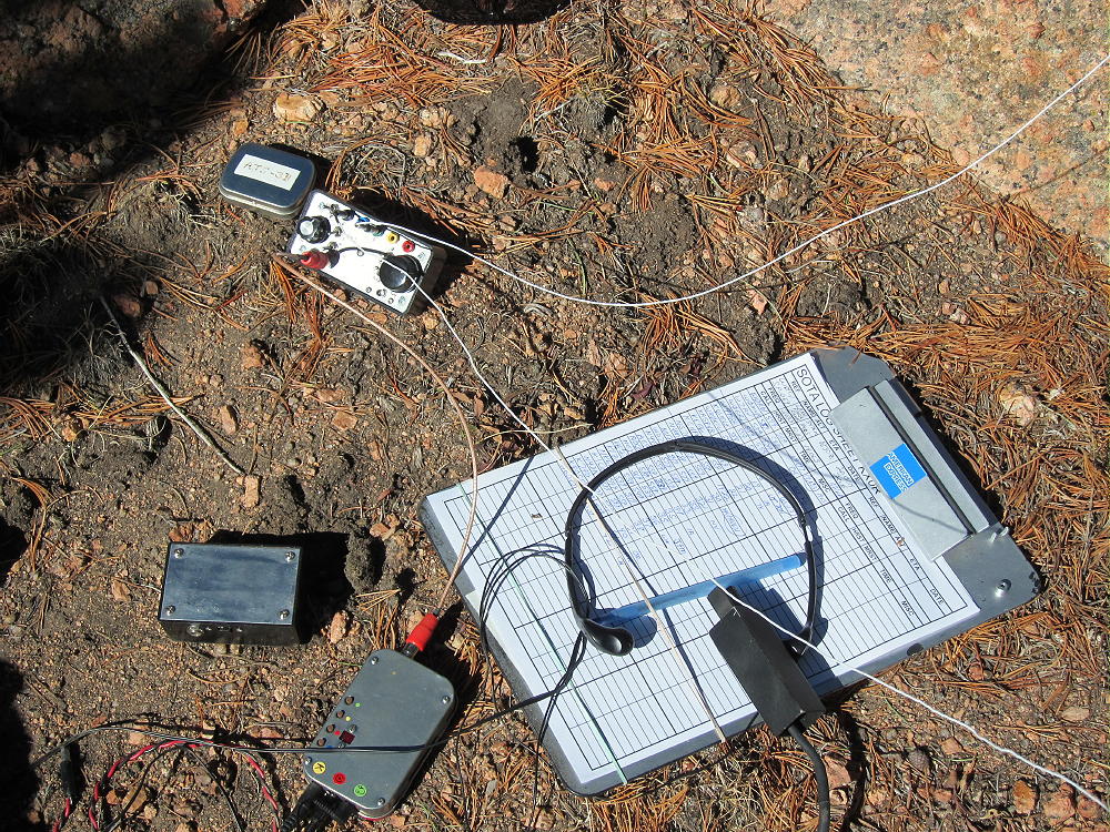
    I had a fun SOTA activation, with 40 CW contacts on 4 HF bands.  These included a summit-to-summit (S2S) contact with NS0TA on W6/CN-002 (Lassen Peak), 9A7W Ozren in Croatia, and John ZL1BYZ in New Zealand.

    It might be possible to combine South Tarryall Peak with nearby Lake Park Peak W0C/SP-069 for a dual activation.  This would be a long, hard day!
    Be aware of possible hunters in the fall – wear bright orange.

    73

    George Carey Fuller
    KX0R


    ATTENTION !! WARNING !! There are old mountaineers, and bold mountaineers… there are no old-bold mountaineers. Hiking and mountain climbing are potentially hazardous activities particularly in Colorado with its extreme elevations. I am not accepting responsibility for any death or injury resulting from activations based on my trip reports. Proper training, experience, and personal capability assessment is required – enjoy!