


W0C/SP-066
Thirtynine Mile Mountain
3520 m / 11,548 ft
First Activation
Nov 1, 2016
By KX0R
Thirtynine Mile Mountain is a large, remote summit at the south end of South Park. Its dark volcanic rock is the remains of a huge volcano active about 35 million years ago.
• Pike National Forest
• No marked trailhead
• No marked trail
• Game trails and man-trail part of the way
• Navigation required
• Obscure summit, rarely visited
• Excellent radio site
• Interesting igneous geology
• ~ 8.0 miles round-trip
• ~ 3500 vertical feet gain total, in and out
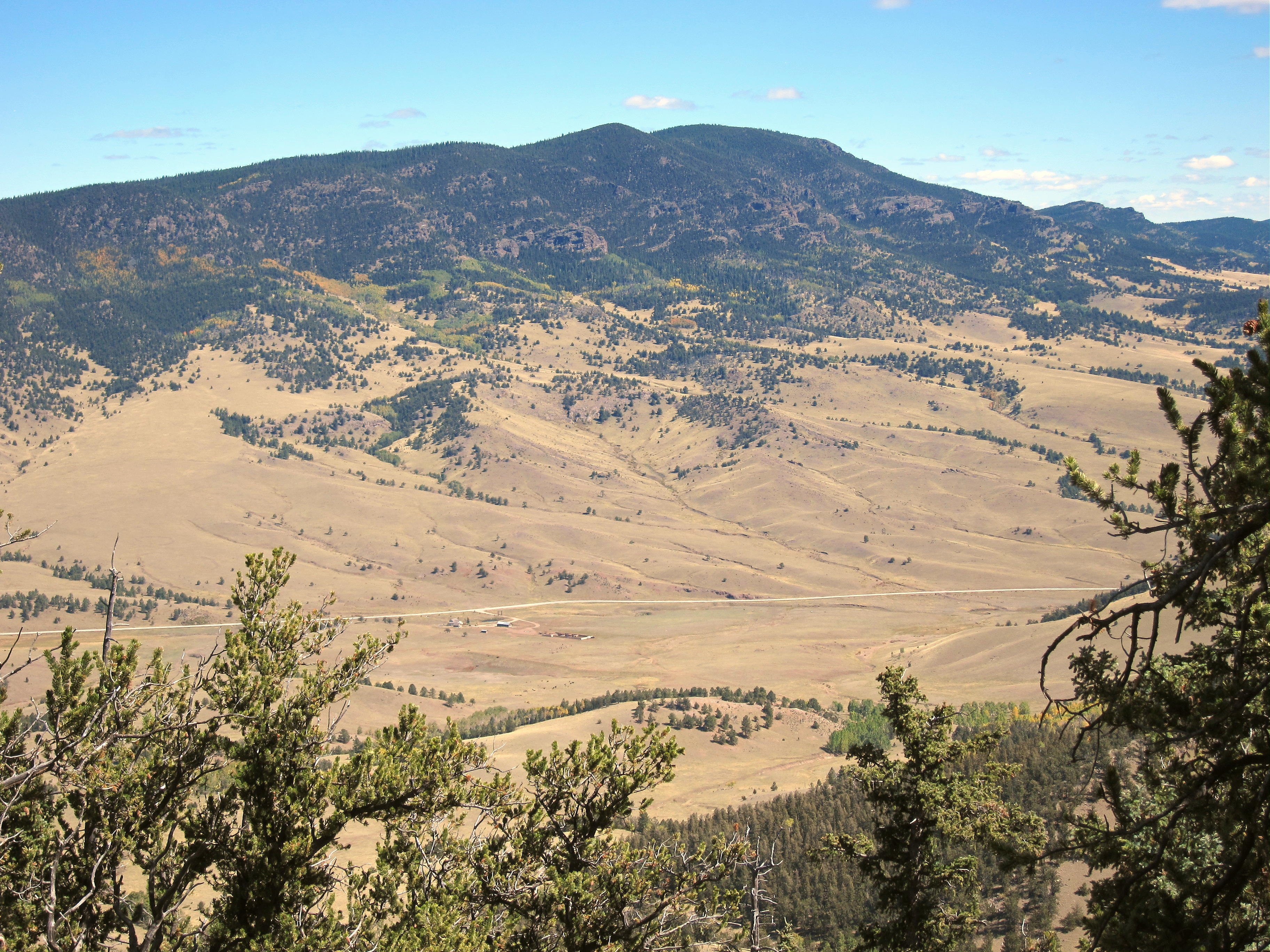
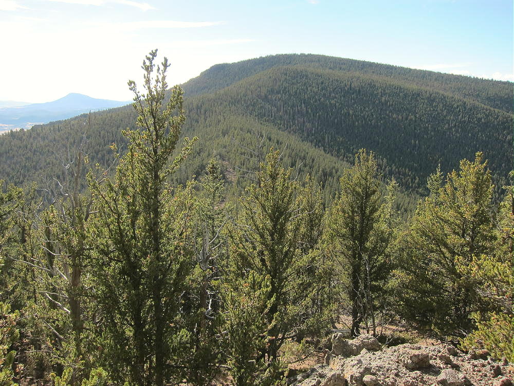
Thirtynine Mile Mountain SW Side, from Dicks Peak
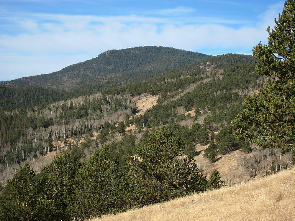
Thirtynine Mile Mountain East Side, from Mid-route
Driving directions:
• Drive to South Park, either by Highway 285 or Highway 24
• Continue mostly via dirt roads to the south end of Elevenmile Reservoir
• Use CR 23 and CR 59 from near Spinney Mountain
• Or use CR 46 and CR 98 from near Florissant
• From the junction of CR 59 and CR 98, continue south on CR 59 (Thirtynine Mile Road)
• Ascend this OK 2WD dirt road to a saddle at about 9550 feet, between Thirtyninemile Mountain and Saddle Mountain
• Park off the side of the road at the pass
The Hike:
• The hike from the Pass to the summit climbs over several significant sub-peaks, and descends to saddles, along the main east-west ridge.
• There’s no accessible water on the entire trip – except for snow, etc.
• The route generally runs within about 100 yards of the ridge-top.
• From the parking spot at the pass, an unmarked path leads west and skirts below some rocks. Stay on the north side of the ridge.
Thirtynine Mile Mountain, near Start of Route at Pass, View of Hill 10734
• A jeep road comes up from the north to a fire ring in a clearing. People camp and park here sometimes.
• A trail ascends steeply west from the clearing.
• Soon the route comes to a fence line running east-west.
• A fence-gate with a USFS sign says to close the gate.
• The land south of the fence is likely private, but it’s not posted.
• Hill 10734 rises to the west – it’s necessary to climb most of the way to the top, up about 800 vertical feet, through thick grassy meadows along the fence-line.
• Near the top of 10734, at about 10550 feet, either continue on up along the fence, into the forest, and across the summit; or contour around the south side through more meadows – I did this.
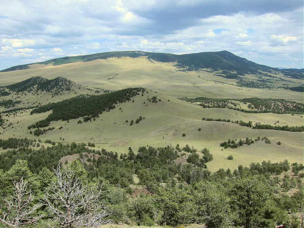
• Contouring south leads to beautiful open views of the Guffey area, valleys far below, Black Mountain, Waugh Mountain, and the south slopes of Thirtynine Mile Mountain two miles to the west.
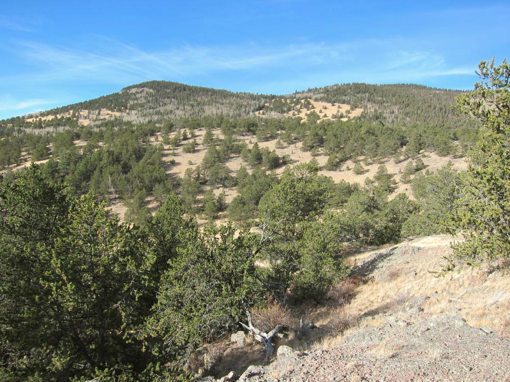
Thirtynine Mile Mountain Trip, View Southwest from Mid-route
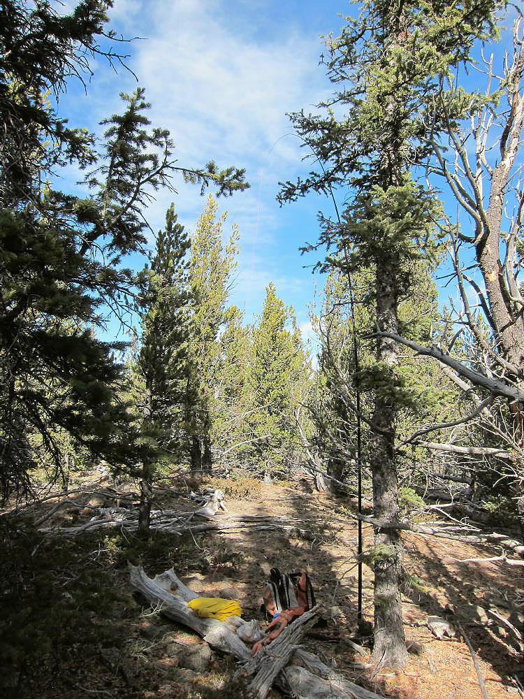
• Next hike northwest to the main ridge and pick up a game trail – also a man-trail – that runs west along the ridge. Stick with the ridge. There are sections where the trail thins or disappears, but it comes back further on.
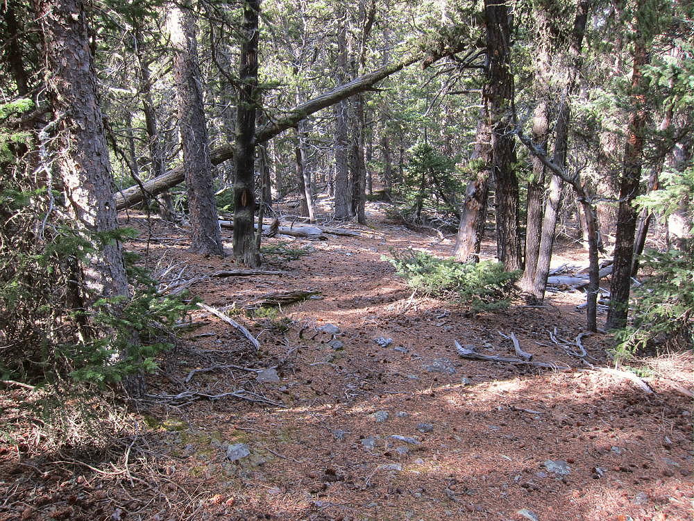
Thirtynine Mile Mountain Trail
• Sawed logs are visible, and a few blazes show on trees along the path.
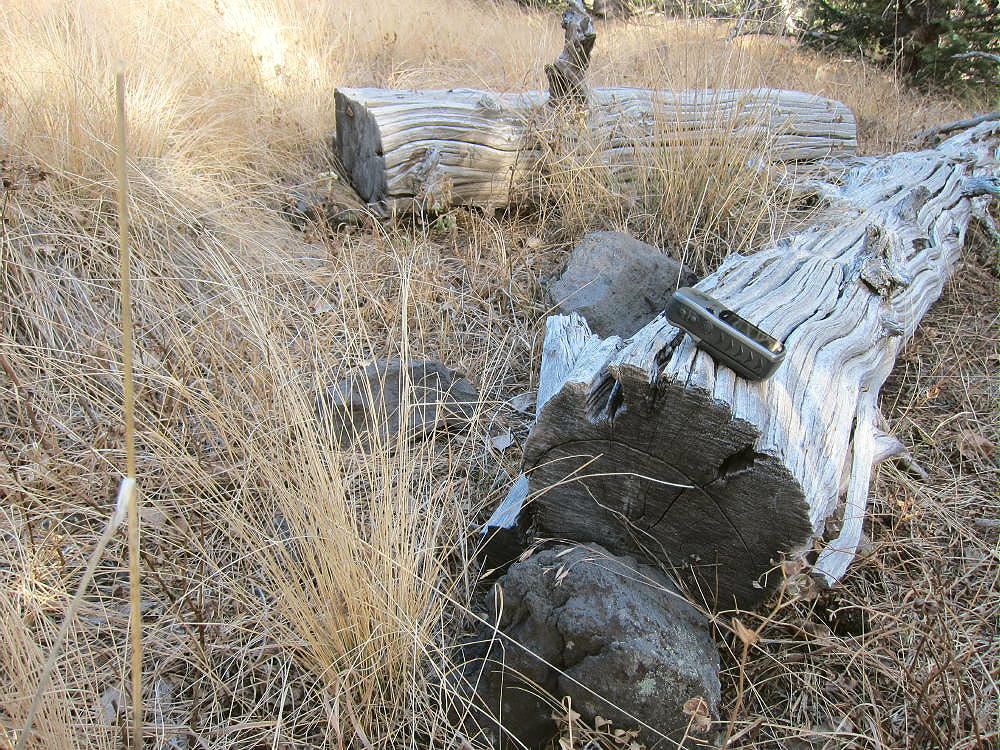
Thirtynine Mile Mountain Sawed Logs Along Route
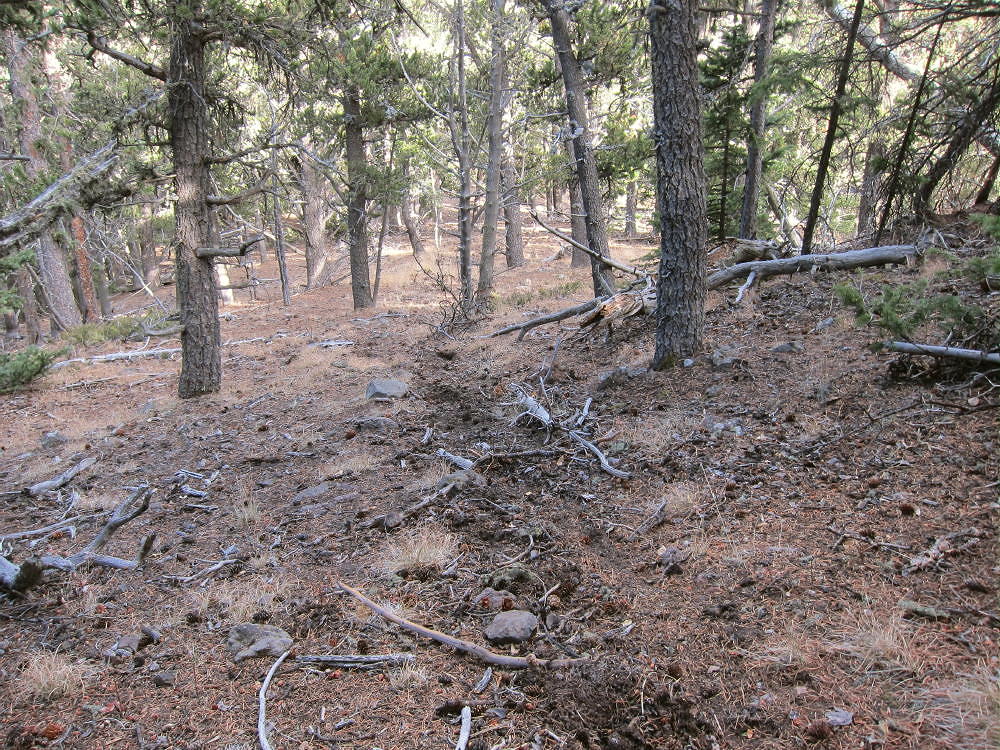
Eventually the trail leads over a couple of minor bumps and ends at an old campsite with a log fence around it. This camp is at a saddle, and it looks like it’s used occasionally. The USGS topo shows a trail crossing from north to south at the saddle.
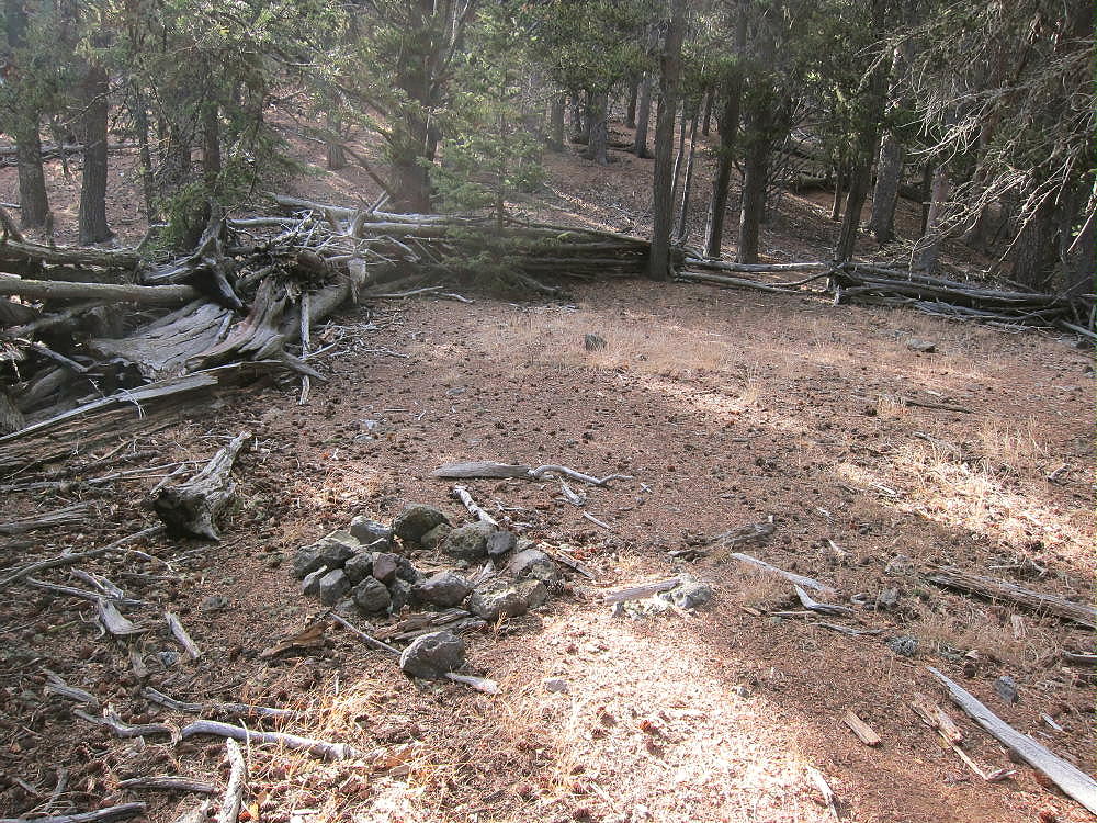
Thirtynine Mile Mountain, Campsite at Saddle East of 11121
• The next challenge is to climb about 500 vertical feet up big sub-peak 11121, east of the primary summit. A fair game trail starts up from the camp and ascends along the ridge. It deviates just north of the ridge to skirt rock outcrops and fallen trees.
• It’s essential to stay on the ridge near 11121 and then to descend correctly WSW to the saddle at 10850 feet, between Peak 11121 and the main peak. This narrow saddle is like a bridge, and it’s easy to cross; however, it’s hard to see through the trees – use GPS to hit it.
Thirtynine Mile Mountain East Side, Bridge Saddle to Main Summit
• From the saddle, the route follows game trails up along the east ridge of the main peak. These paths lead up around the north sides of various rocky obstructions, climb west along the moderately steep ridge, and continue up gentle slopes to the top. These game trails showed fresh use by elk.
• The mountain top is forested, and the summit’s almost flat. Look for a cairn with a register in a jar – only a people sign each year.
• Views are very limited – cliffs about ¼ mile south of the top likely offer fine views – but I didn’t go down there.
Additional Details:
This hike is just over 4 miles each way, but the total vertical gain is about 3500 vertical feet for the entire round-trip. The sub peaks and saddles are significant! After the first mountain, you’re at 10,800 or higher for most of the way. You keep dropping down to that level and then going up again.
It took me almost three hours to hike from the pass to the summit. The return is similar, but a bit easier and faster. Two quarts or more of water are necessary if it’s cool – much more if it’s warm.
Thirtynine Mile Mountain is easy to activate – the huge Activation Zone contains numerous bristlecone pines and other trees – it’s really nice. It doesn’t feel like a regular mountain when you’re on top.
Thirtynine Mile Mountain Summit Activation
There’s no development nearby, and the HF noise level is very low. With no higher peaks for many miles, this peak is an ideal HF site. VHF/UHF coverage is likely OK across parts of South Park, east toward Pikes Peak, and down to the south.
There’s a sister summit about 2000 feet west of the main summit, at almost the same elevation. Both summits and the connecting ridge appear to be within the SOTA Activation Zone.
I saw no hunters or recent evidence of them, but there certainly could be hunting up there in the fall. I heard an elk about half-way in, in the meadows down below. It’s very nice country all the way.
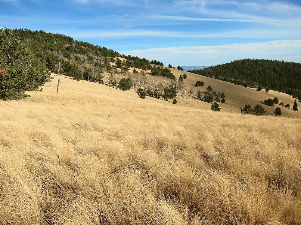
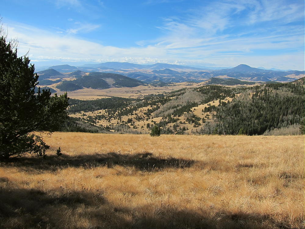
Thirtynine Mile Mountain, High Meadows West of 10734
The entire mountain is volcanic – much of it is breccia made of large rock fragments, etc. Some of the rocks have obvious bubbles. Most of it’s dark, but there are many orange and red rocks. The Guffey Volcano was huge, and this is just one small part of it, originally about half-way up the north side of the monster.
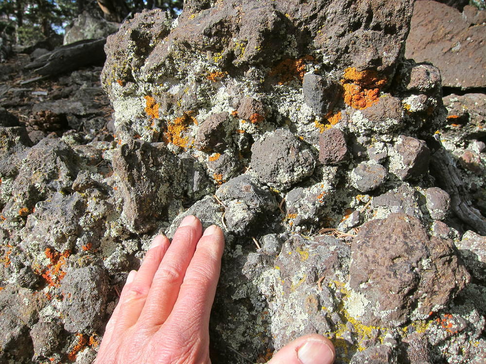
Thirtynine Mile Mountain Volcanic Breccia
There are a few sections of the hike that pass through loose rocks, with plenty of chances to stumble on them.

Thirtynine Mile Mountain Bridge Saddle – View East to 11121
Most of the ridge route is very reasonable and pleasant, with nice paths, and only moderate deadfall. Avoid the aspens where you can.
Thirtynine Mile Mountain Fresh Game Trail
If the summit had better views, it would be a SOTA Classic. If you like long off-trail hikes, wilderness, and geology, this trip is a winner! It’s a lot of driving – about three hours for me via Fairplay and Hartsel – and a big hike for sure. In the fall it takes some night driving both ways to do this trip, and there’s no extra time.
It’s certainly possible to climb Thirtynine Mile Mountain from the west, perhaps from near Currant Creek Pass, but I have not done this. The view of the huge west side from Peak 10090 is inspirational:
Thirtynine Mile Mountain West Side, from Peak 10090
73
George
KX0R
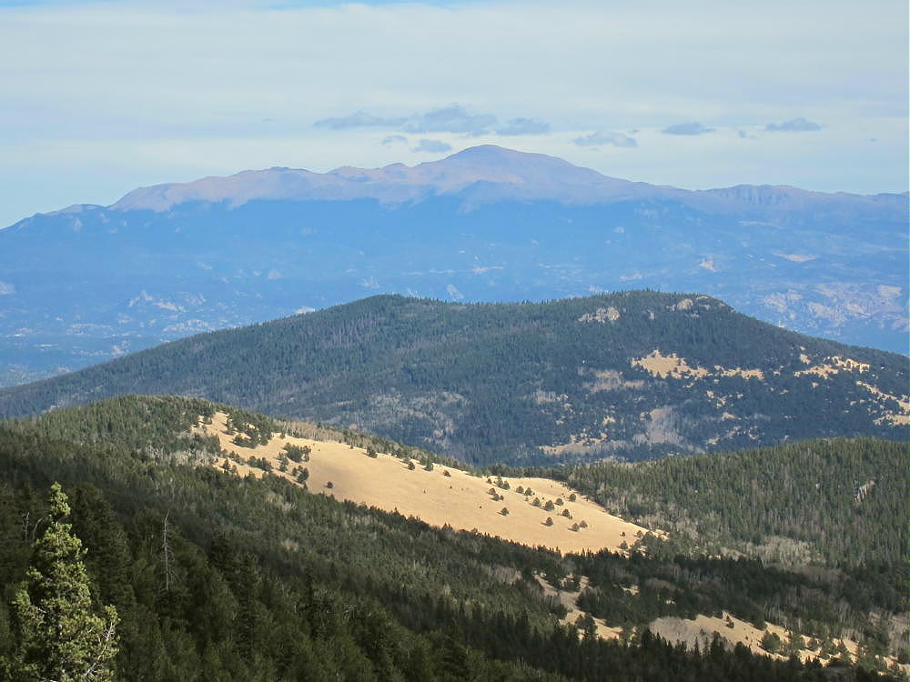
Thirtynine Mile Mountain View East, Across 10734 and Saddle Mountain, to Pikes Peak
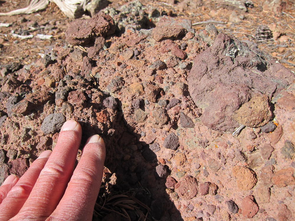
Thirtynine Mile Mountain Red Volcanic Breccia
![]() !! WARNING !! There are old mountaineers, and
bold mountaineers... there are no old-bold mountaineers.
Hiking and mountain climbing are potentially hazardous activities particularly in Colorado with its extreme elevations. I am not accepting responsibility for any death or injury resulting from activations based on my trip reports. Proper training, experience, and personal capability assessment is required - enjoy!
!! WARNING !! There are old mountaineers, and
bold mountaineers... there are no old-bold mountaineers.
Hiking and mountain climbing are potentially hazardous activities particularly in Colorado with its extreme elevations. I am not accepting responsibility for any death or injury resulting from activations based on my trip reports. Proper training, experience, and personal capability assessment is required - enjoy!