


W0C/PR-144
Green Ridge
2747 m / 9012 ft
First Activation
Sep 13, 2014
Green Ridge is a broad, gentle mountain located south of Shadow Mountain Reservoir, west and above the Colorado River. There is no marked route to the summit, but there is a trail part of the way. Here’s how to access this peak:
1) Drive to Shadow Mountain Reservoir, which is just south of Grand Lake, via US 34.
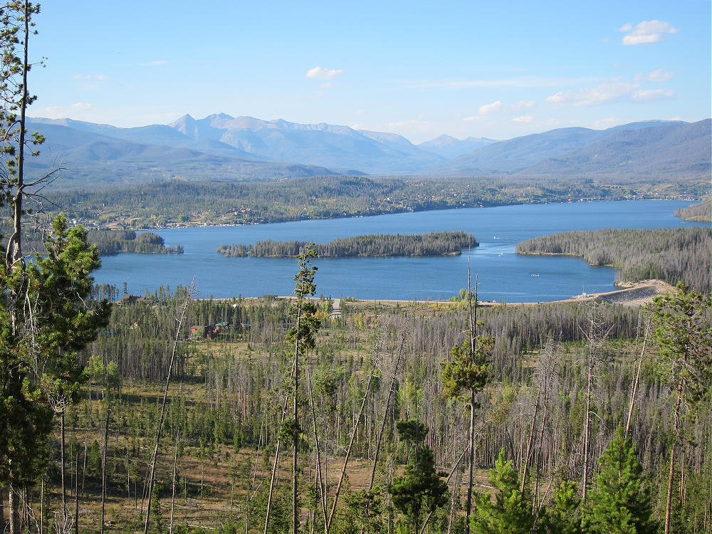
Shadow Mountain Reservoir from Green Ridge Approach
2) Follow road 66 to the Green Ridge Campground. This is part of the Arapaho National Recreation Area, and a fee may be charged to park.
3) There is a small dirt road south of the Campground which leads to an osprey viewing area – limited parking is available along this road.
4) Hike south and avoid private land located on the west side of the approach to the Ridge. It is possible to stay far enough east to stay in the National Forest, but this requires some bushwhacking and hiking through areas with fallen trees for perhaps 1/2 mile. Google Maps clearly shows the public land in green. In particular, a tempting access road that goes to some houses leads into the private land. Just head south up toward the Ridge, and once the route steepens, stay on the ridge.
5) There is a good path along the NW ridge above about 8800 feet. This path comes from the private development on the west side; it’s the best route up the mountain; and it’s in the National Forest all the way up from where you’ll run into it after you hike up through the fields and woods below.
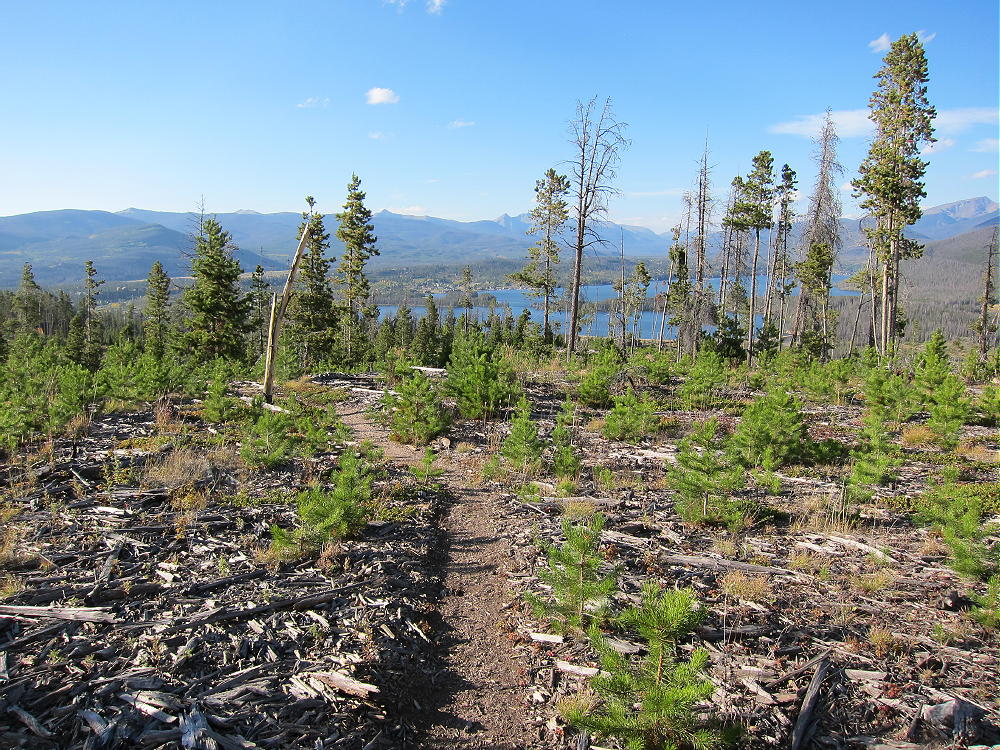
Green Ridge Trail Looking North
6) The path goes SE all the way to the summit, but the mountain top is so broad that the real summit is not obvious. There are two possible summit areas, about 2000 feet apart, and both may be within the Activation Zone. The NW summit is shown as 8970 feet on the USGS map. There is a little saddle or dip in the path between the two summits. This dip may lie within the activation zone. Keep following the path SE, go through the dip, and then ascend slightly until the path crosses over the southeastern true summit, at 9012 feet. There the route heads down gently, with no close summits visible.
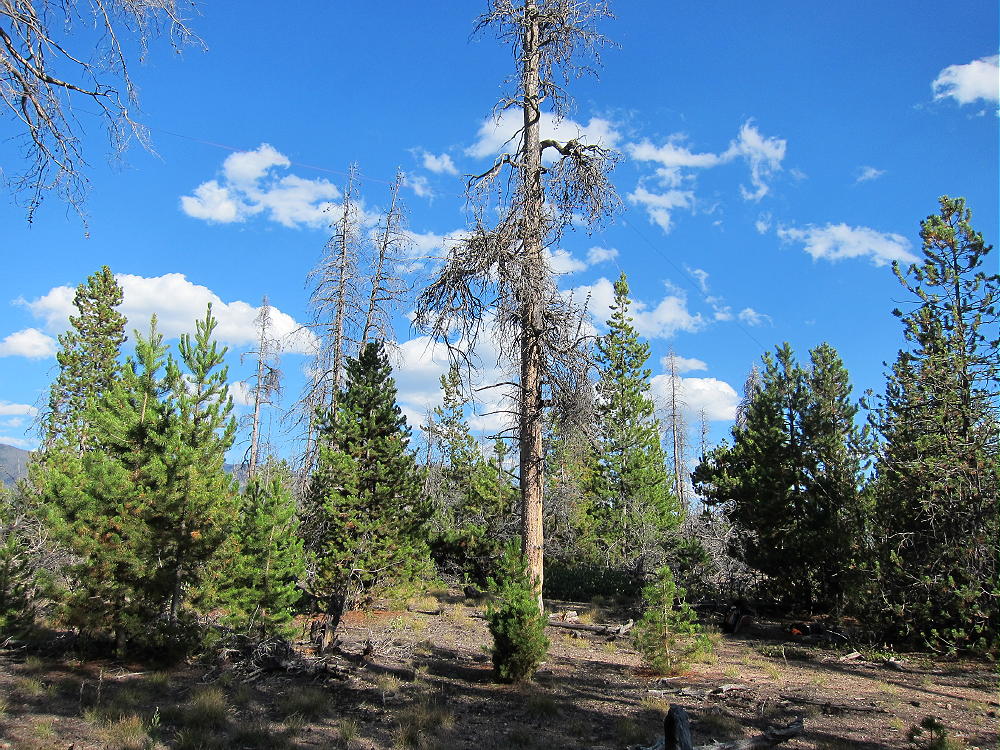
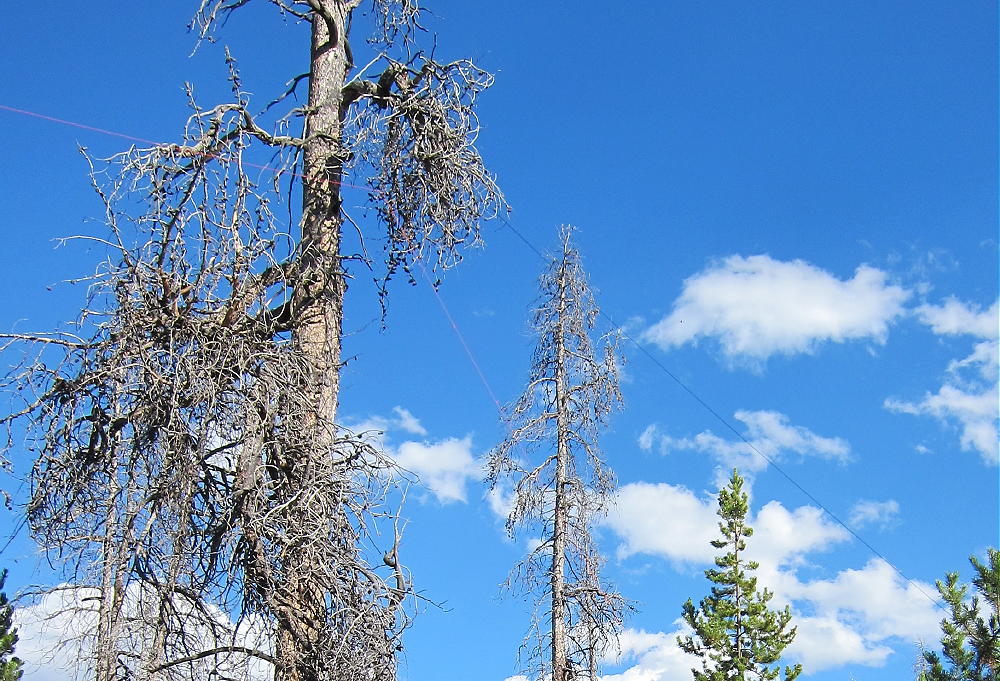
The pine forest on Green Ridge has seen extensive beetle kill. Dead trees are everywhere – standing and on the ground. Some areas have been cleared of beetle kill.
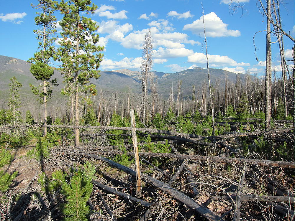
Typical Beetle Kill Terrain – Green Ridge
The forest is very open, and the summit is easy to activate, with or without a pole. The noise level is low, and few people visit this mountain – it is an excellent HF site. VHF-UHF coverage may be limited to local stations; this is a low summit surrounded by much higher peaks.
-
- Green Ridge First Activation Site near Summit
-
- Green Ridge Antenna in Dead Tree
The round-trip distance for this expedition is about 3.6 miles, with about 600 vertical feet to the summit. Overall, this is an easy 4-point SOTA peak, but the off-trail hike up the lower part of the peak is a challenge that may not be fun for everyone. I saw hunters the day I climbed the peak – and they saw me – be sure to wear bright colors and be careful in the fall.
Green Ridge can be combined with other local SOTA Peaks, such as Green Mountain W0C/PR-110 in Rocky Mountain National Park, for a double activation. This worked well for me, because I had a nice dry day in September.
73
George Carey Fuller
KX0R
![]() !! WARNING !! There are old mountaineers, and
bold mountaineers... there are no old-bold mountaineers.
Hiking and mountain climbing are potentially hazardous activities particularly in Colorado with its extreme elevations. I am not accepting responsibility for any death or injury resulting from activations based on my trip reports. Proper training, experience, and personal capability assessment is required - enjoy!
!! WARNING !! There are old mountaineers, and
bold mountaineers... there are no old-bold mountaineers.
Hiking and mountain climbing are potentially hazardous activities particularly in Colorado with its extreme elevations. I am not accepting responsibility for any death or injury resulting from activations based on my trip reports. Proper training, experience, and personal capability assessment is required - enjoy!