


W0C/PR-100
Blue Ridge
3271 m / 10731 ft
First Activation
Oct 2, 2016
By KX0R
Blue Ridge is a fun, easy SOTA peak hidden in the woods west of Fraser, Colorado.
• Convenient access via Arapaho National Forest roads
• Summit may be on private land
• Not posted to prohibit entry
• No marked trail or trailhead
• Relatively easy off-trail ascent
• Summit is not visible from the road or in the woods
• GPS navigation recommended
• Peak is rarely visited
• ~ 1.0 miles round-trip
• ~ 350 vertical feet
-
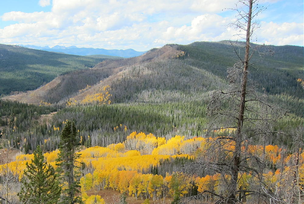
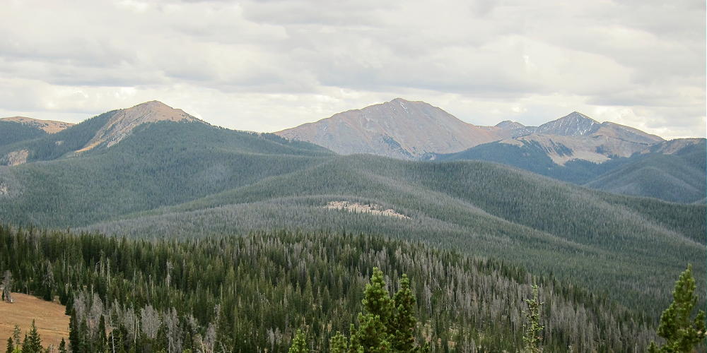
- Blue Ridge, Upper Right, View from Sheep Mountain
Driving access:
• Drive west from Denver on I-70
• Turn north on Highway 40
• Cross Berthoud Pass, drive through Winter Park, and continue north to Fraser
• At Fraser, turn west on CR 73
• Follow CR 73 west about a mile, and turn right on CR 50S
• CR 50S merges with CR 50 after about 1 mile
• Follow good dirt road CR 50 about 3 more miles west to the National Forest
• Continue on CR 50/FR-139 up the Crooked Creek Drainage for about 4 miles to a fork in the road, at about 9960 feet
• Head right at the fork, northwest on CR 50/FR-133 – this is a pretty good 2WD dirt road
• Continue up about 1.5 miles toward Blue Ridge
• The road runs clockwise around a hill and levels out near 10,400 feet
• Park off the road where the road heads NW and starts to descend slightly
• From the parking spot, initially hike northeast about 0.2 miles up a moderately gentle forested slope
• There are old logging roads in the area – much of the area has been logged
• Continue northeast, and head slightly east of the summit
• Climb the Blue Ridge east of the summit to avoid cliffs and talus near the peak
• Once on the obvious ridge, walk northwest to the peak.
Details:
Blue Ridge W0C/PR-100 is one of the easier 6-point SOTA peaks in Colorado.
The summit is just a bump on the very long ridge-top. GPS may be helpful for finding the actual peak. The large activation zone is mostly open – good trees are available for supporting an antenna or a pole.
-
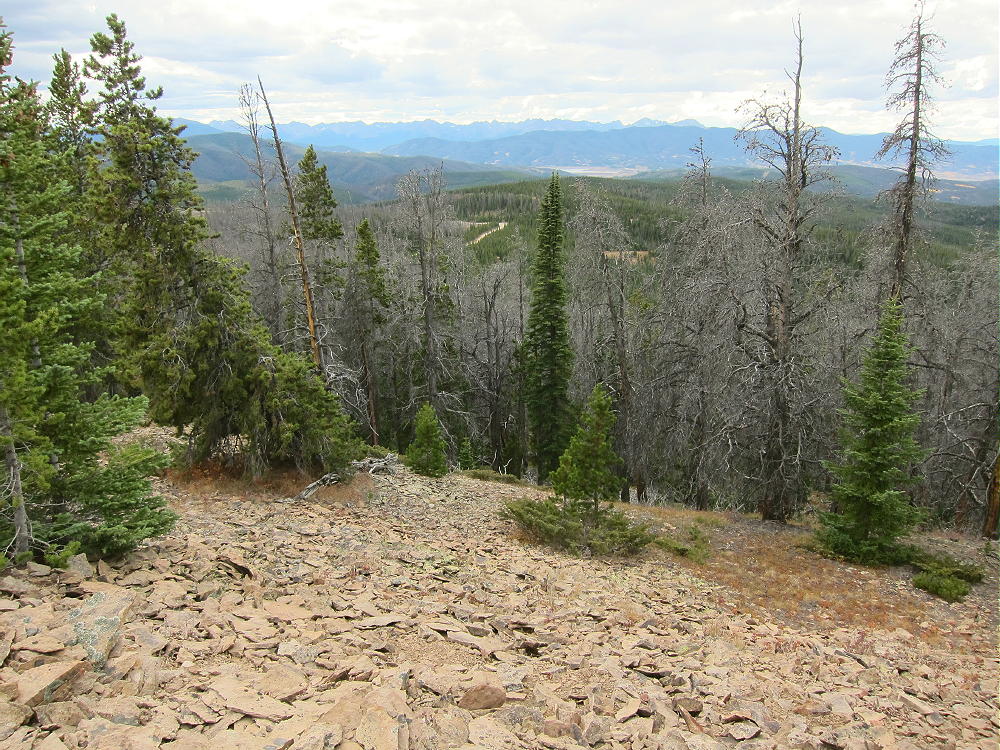
- Blue Ridge, Summit Ridge View Northwest
There’s no development for miles, so the RF noise level is low; this is a perfect HF site. It’s not blocked much in any direction for skip signals. This may be an OK site for VHF/UHF, at least for the area around Kremmling, Fraser, Granby, Grand Lake, etc.
-
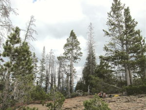
- Blue Ridge, KX0R SOTA First Activation
-
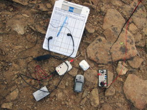
- Blue Ridge, KX0R SOTA Radio Gear
My SOTA activation was fun – I made 40 CW contacts on 4 bands with my 5 watt radio. On 40M I made a summit-to-summit contact with Kay, KE7BGM, on W7A/AP-005; on 17M I contacted John, ZL1BYZ, in New Zealand!
Blue Ridge offers good views of nearby Ptarmigan Peak and Byers Peak to the south, as well as more distant ranges.
-
- Blue Ridge, View North to Byers Peak
-
- Blue Ridge, Summit Ridge View Southwest to Gore Range
Blue Ridge is easily combined with nearby Sheep Mountain W0C/PR-103 for a dual activation. After Sheep Mountain, Blue Ridge is just a pleasant walk in the woods.
Geology Notes:
The Blue Ridge is actually a large feature – it runs SE-NW for several miles; there’s a broad anticline west of the ridge. The summit ridge is a hogback formed from sedimentary paleocene-cretaceous Middle Park Formation rock. The rock dips down to the east.
-
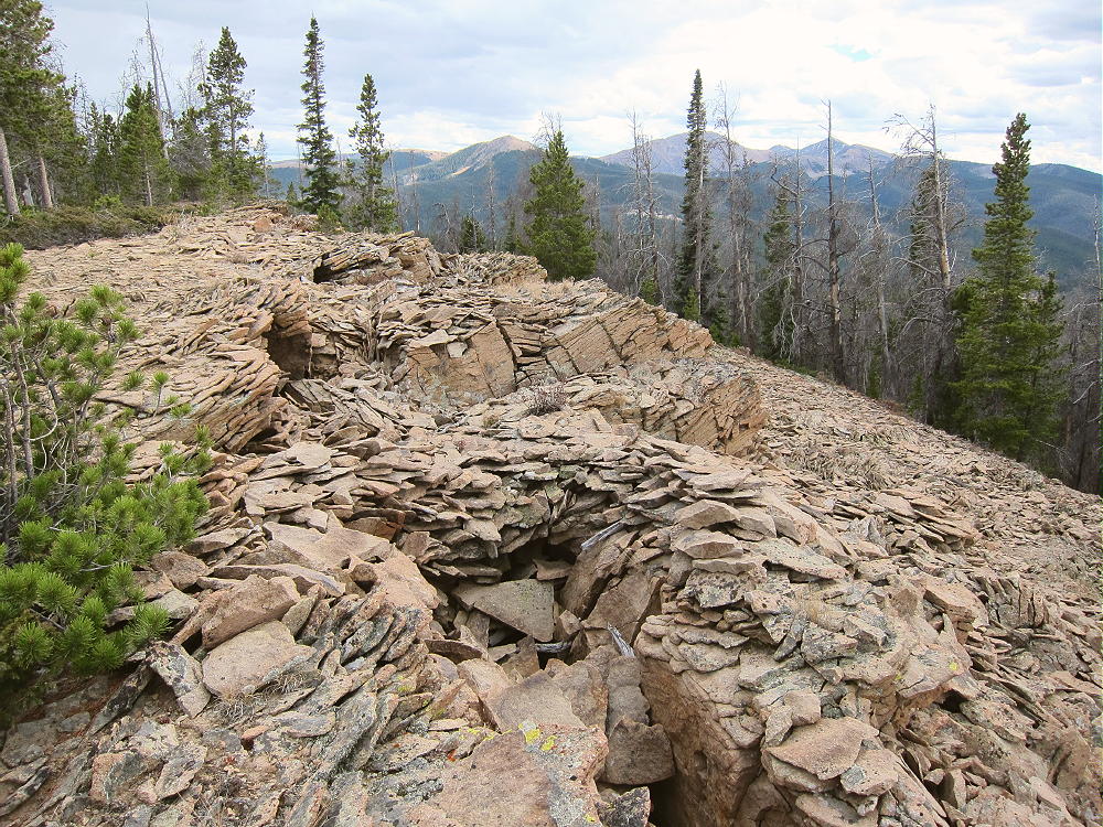
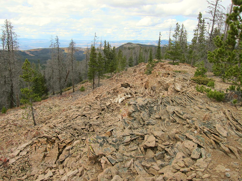
- Blue Ridge, Summit Ridge View South, Showing Collapsed Beds, Sinks, etc.
This light orange rock is thinly layered; it’s made up of a variety of sediment, including older pebbles and mostly rounded stones – it’s a conglomerate. It erodes strangely, forming piles of thin slabs and talus slopes, and there are odd collapsed areas all along the top edge of the ridge.
-
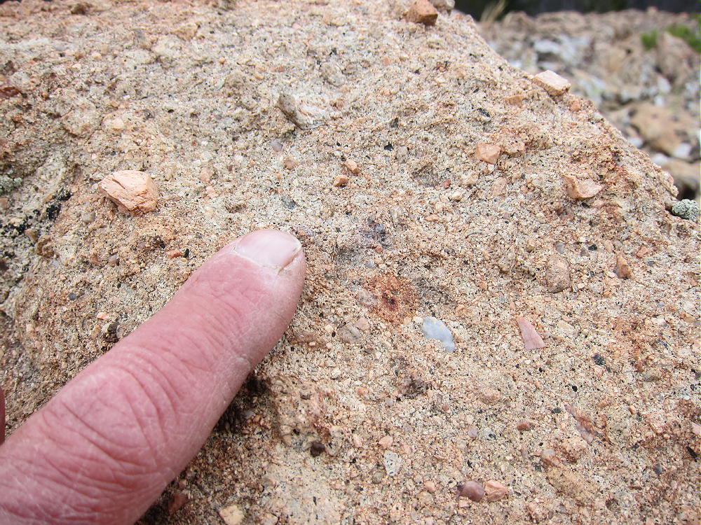
- Blue Ridge – Summit, Middle Park Formation Conglomerate
Here’s the Geologic Map.
Most of the summit ridge seems solid and safe, but the tops of the ledges show evidence of collapse, even to the point of forming holes and sinks several feet deep. These unstable areas should be avoided.
73
George
KX0R
![]() !! WARNING !! There are old mountaineers, and
bold mountaineers... there are no old-bold mountaineers.
Hiking and mountain climbing are potentially hazardous activities particularly in Colorado with its extreme elevations. I am not accepting responsibility for any death or injury resulting from activations based on my trip reports. Proper training, experience, and personal capability assessment is required - enjoy!
!! WARNING !! There are old mountaineers, and
bold mountaineers... there are no old-bold mountaineers.
Hiking and mountain climbing are potentially hazardous activities particularly in Colorado with its extreme elevations. I am not accepting responsibility for any death or injury resulting from activations based on my trip reports. Proper training, experience, and personal capability assessment is required - enjoy!