


W0C/FR-086
Coffintop Mountain
2457 m / 8060 ft
July 18, 2013 First Activation
May 3, 2014
May 17, 2015
May 12, 2016
By KX0R
Despite its name, Coffintop Mountain is a fun, challenging summit in the mountains west of Lyons, Colorado. This peak offers an exciting SOTA activation.
Key points:
• Mountain in Roosevelt National Forest
• Wild area – few visitors
• No development on or near the mountain
• Access via Buttonrock Preserve (City of Longmont)
• Free parking at Buttonrock Trailhead, via Longmont Dam Road, CR 80.
• Special rules apply in the Preserve
• Upper part of route is mostly off-trail
• Good navigation and route-finding required
• My ascent required about 2-3/4 hours; descent was slightly less
• Trailhead elevation ~ 6000 feet
• Round-trip distance ~ 10 miles
• Total elevation gain ~ 2050 vertical feet
• SOTA Classic!
-
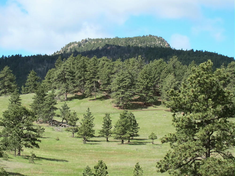
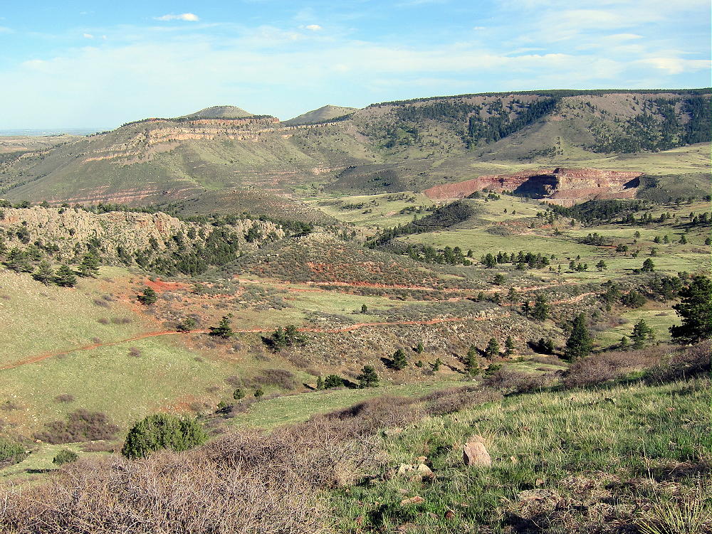
- Coffintop Mountain from Hall Ranch
Driving Directions:
• First drive to Lyons, Colorado.
• Continue northwest on Highway 36 for about 3 miles
• The road follows the North Saint Vrain Creek through a rocky canyon.
• Just before the highway starts up a long hill, marked County Road 80 leads left across a bridge over the creek – tricky left turn.
• Follow dirt road 80, Longmont Dam Road, about 3 miles to the Buttonrock Trailhead.
• There’s no fee for entry or parking.
The Hike:
• Walk west up the scenic canyon on the gated service road.
• The road leads by a small reservoir called Longmont Reservoir.
• Continue up the canyon about ¼ mile to the marked Sleepy Lion Trail
• Follow Sleepy Lion up a side canyon on the south side of the road.
• Continue up Sleepy Lion until it connects with the Buttonrock Trail.
• Follow the Buttonrock Trail up toward the northeast ridge of Coffintop.
-
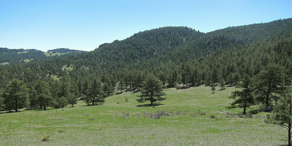
- Coffintop East Side from Buttonrock Trail
Route Explanation:
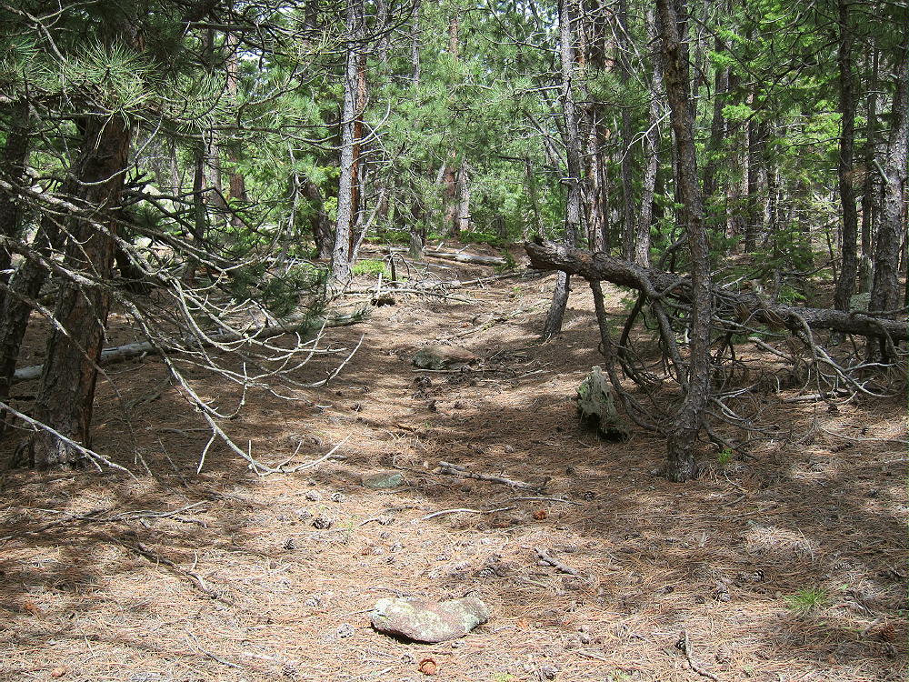
There’s no marked trail from the Buttonrock Trail to the top of Coffintop. It’s necessary to leave the trail, ascend south, and meet the northeast ridge of Coffintop. The northeast ridge provides efficient, fun access to the summit. A social/game trail with some cairns leads up along this ridge. It’s essential to have a detailed topo map and compass to navigate through the rugged terrain. A GPS with map data is very helpful. This expedition is recommended only for hikers with off-trail experience in similar terrain.
-
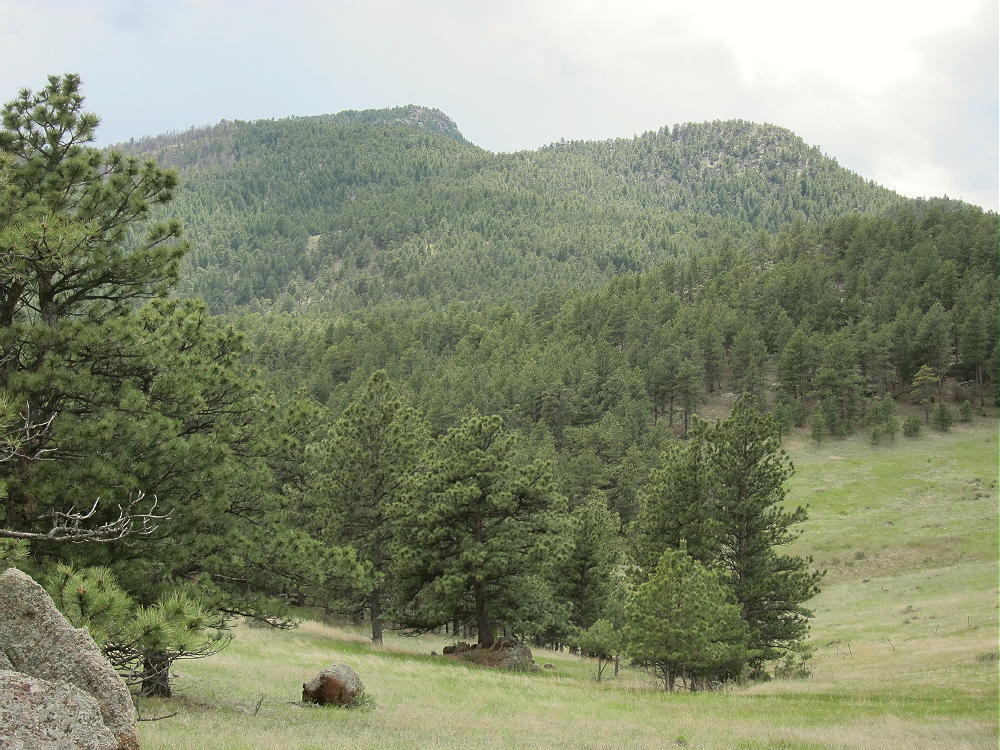
- Coffintop – Northeast Ridge from Hall Ranch
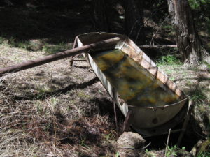
Several possible routes provide access to the northeast ridge of Coffintop. Since some of the Boulder County land at the western edge of the Hall Ranch is a closed “conservation area”, hiking all the way up the Buttonrock Trail to the ridge is not the best option. A pleasant shortcut through the National Forest leads directly up to the northeast ridge and avoids crossing through the closed County area. This efficient route follows an abandoned road along a small creek up a secluded valley. The Buttonrock Trail meets this abandoned road at a sharp left-turn bend, at about 6500 feet elevation, where the main trail intersects the creek drainage. The old road is visible from the main trail, and it starts out on the west side of the creek.
The coordinates of this key junction are:
N 40 12.934’ W 105 20.657’ (WGS84)
or
40.2156 -105.3442
-
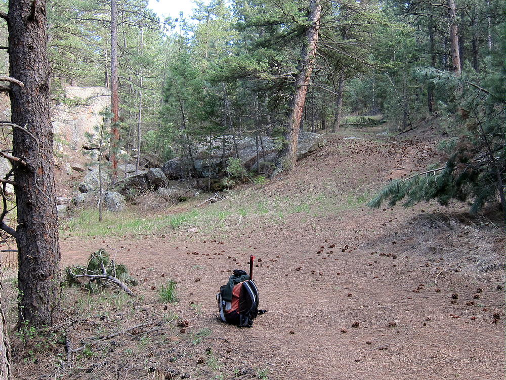
- Coffintop Secret Trail Junction with Buttonrock Trail
-
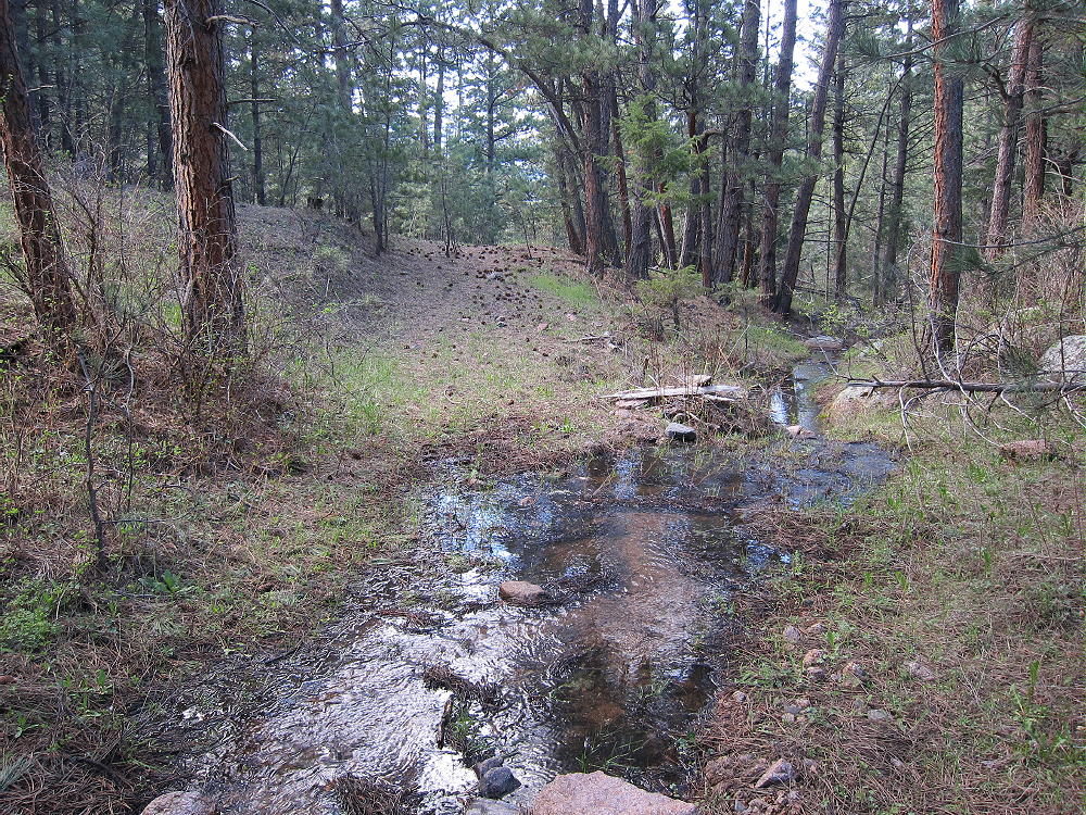
- Coffintop – Secret Trail up to East Side of Coffintop
After climbing for about 0.4 miles along the forested creek, the old road passes by an old water trough at about 6710 feet elevation.
N 40 12.676’ W 105 20.492’
or
40.2112 -105.3415
-
- Coffintop Stock Trough on Secret Trail
Above the trough, head east up a slope for several hundred feet up to an open meadow. Stay west of the old road visible in the meadow to the east – that road doesn’t lead to the summit. From the meadow look southwest, and find an opening on a little hill heading up toward the northeast ridge of Coffintop. An old trail leads up the ridge just south of the ridgetop. This rough route runs a long way up toward the summit. Following this trail is a challenge, but the route is efficient and avoids many hassles. Parts of the trail run along a Vee-shaped gully. Avoid any steep slopes or cliffs.
-
- Coffintop Northeast Ridge Route – Old Abandoned Trail/Road
A key waypoint on the northeast ridge at about 7080 feet elevation is at:
N 40 12.510’ W 105 20.672’
or
40.2085 -105.3445
Above this point the route climbs progressively up the ridge through the forest. At about 7400-7500 feet elevation the path is sketchy, and the route I follow is on the north side of a ridge. Avoid any steep rocks.
A waypoint in that area of the northeast ridge at about 7440 feet elevation is:
N 40 12.244’ W 105 20.979’
or
40.2041 -105.3496
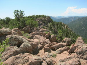
Above about 7600 feet elevation, continue ascending the northeast ridge; follow cairns leading up a shallow gully, just south of some rock outcrops east of the summit. Soon the route passes south of the north summit; the south summit is about 450 feet further along the rocky ridge. The views west are stunning!
-
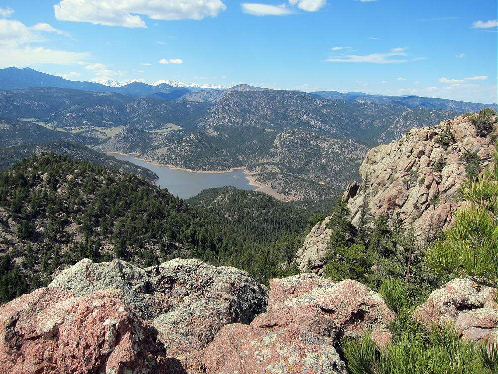
- Coffintop – View Northwest – Twin Sisters, Cook Mountain, Ralph Price Reservoir and Buttonrock Mountain
Note that most of Coffintop Mountain, including the part of the northeast ridge used for this route, is within Roosevelt National Forest.
Which summit is the highest point?
I made various GPS measurements – my GPS has a barometric altimeter that helps stabilize the readings, allowing approximate comparisons of closely-spaced points. I could not determine which summit is the actual peak – they are within a few vertical feet of each other. My measurements from two trips suggest that both summits and the connecting ridge are within the activation zone. Visually it looks that way also.
-
- Coffintop – South Summit from North Area
-
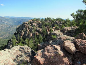
- Coffintop – North Summit from South Area
The Google maps on the SOTA summit page show the red balloon for the summit on the south peak, so activating this would seem to remove any doubt. Lists of John also shows the south summit as the peak, and the list says 8060 feet, but none of the online maps on that site support that elevation for the south summit. However, the Google map shows the green summit symbol on the north peak. Significantly, the historical USGS 7-1/2 minute topo map (Lyons Quadrangle) clearly shows the north summit with an additional contour line at 8040 feet, but this contour only appears on the north summit. The altitude of the north summit is designated as 8049 on the map – indicating that USGS thought the north summit is the real peak.
However, the current USGS digital map for the Lyons quad online shows the south summit within a closed contour of only 8000 feet. The contour interval is 40 feet. The north summit is not shown above 8000 feet! I cannot see where the number 8060 came from – this does not agree with the current USGS digital data. That data says that the south summit is the peak, and it is less than 8040 feet. This current map appears to confirm that the Activation Zone includes both summits and the connecting ridge.
Pick whichever summit you like for your activation, and set up well within 75 vertical feet of the top. There are plenty of nice spots in the Activation Zone. The ridge provides shelter from the west wind, and numerous trees are available to hold a pole or a wire antenna.
-
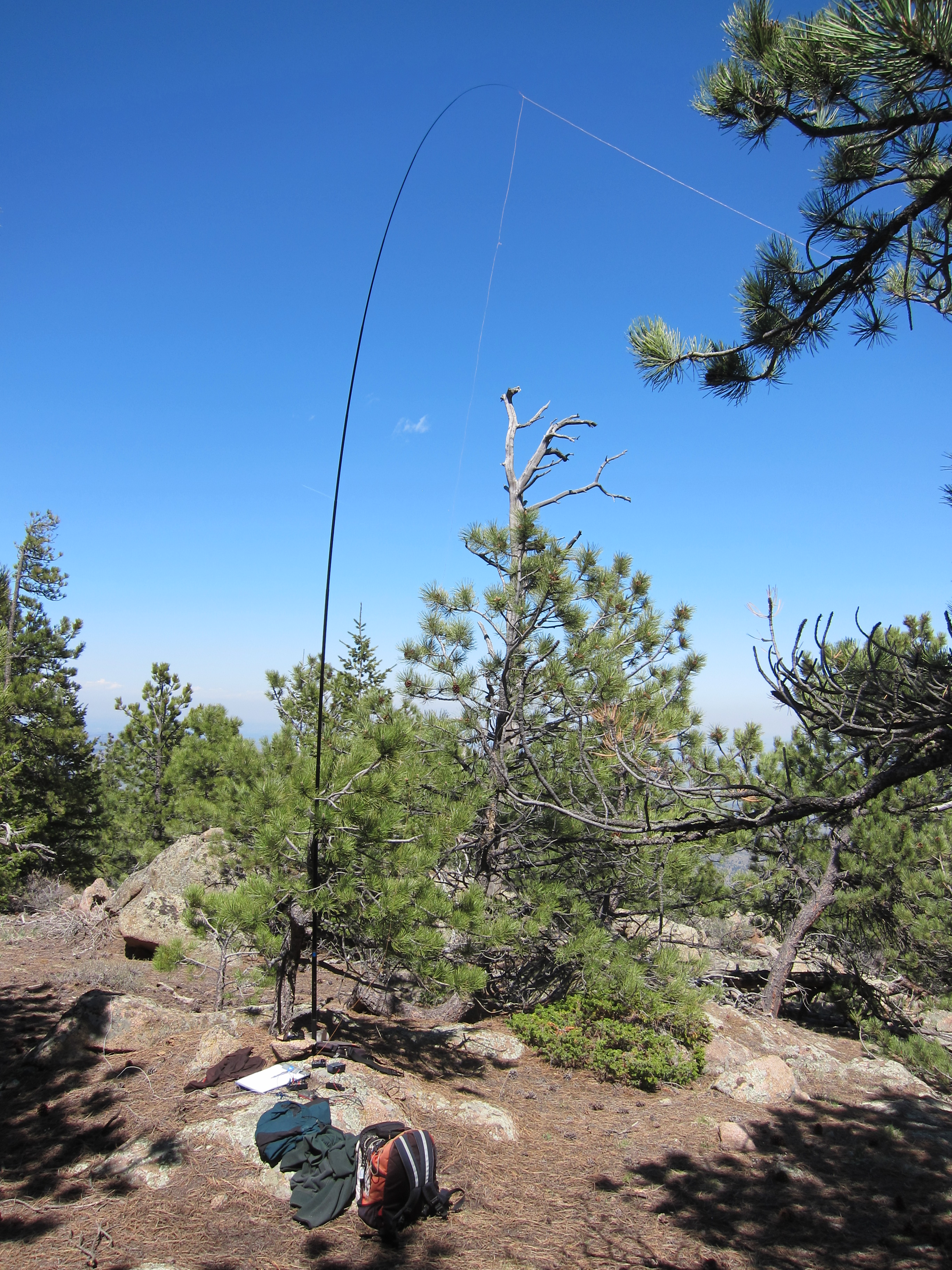
- Coffintop – KX0R SOTA Activation
Coffintop is a classic radio site. Its prominence and eastern position provide wide views out across the Plains. Only a few slightly higher mountains stand near the mountain in other directions, so this peak is an almost ideal HF site. HF noise is very low. There are plenty of trees and rocks for supporting a wire or a pole.
This peak is probably a pretty good VHF/UHF site. The view is clear from southeast to northeast. Some other mountains partially block signals north and south of the mountain – western parts of Denver, Boulder, and Fort Collins are not directly visible.
All of my activations of Coffintop have been fun.
Summary of results:
July 18, 2013 14, 18, 21 MHz CW 34 Q’s 0 S2S 0 DX
May 3, 2014 7, 14, 21 MHz CW 43 Q’s 6 S2S 5 DX
May 17, 2015 10, 14, 18, 21 MHz CW 32 Q’s 2 S2S 2 DX
May 12, 2016 7, 10, 14 MHz CW 34 Q’s 0 S2S 1 DX
Coffintop Mountain is a SOTA Classic!
• Interesting, challenging hike
• Convenient access
• Wild area
• Exciting, prominent summit
• Great views
• Excellent radio site
• Nice activation zone
• Seldom visited
-

- Coffintop View of Longs Peak up the North Saint Vrain Canyon
Coffintop’s prominence makes it a target for lightning. Higher mountains to the west generate thunder storms in spring and summer, so it’s essential to climb Coffintop on dry days, or early enough to avoid storms. Don’t let Coffintop put you in a coffin!
-
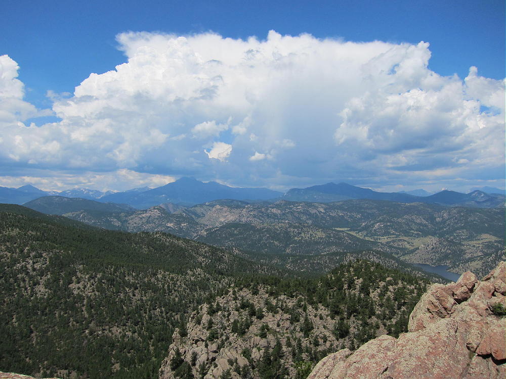
- Coffintop – View of Storm Developing to the West
Hiking in Buttonrock Preserve is a special privilege. This is a watershed for the City of Longmont, and it’s a protected area. Longmont is very generous in allowing access to the public. Many cities, including Boulder, don’t allow hiking in some of their watershed areas. It’s important to understand and obey the rules while in the Preserve. Fortunately, these rules are simple and clear:
• NO Camping
• NO Overnight parking
• NO Bicycles
• NO Horses
• NO Fires
• NO Hunting
• NO Firearms
• NO Boats or Floating Devices
• NO Swimming
• NO Resource Collection or Removal
• Fishing in the Reservoir requires a special permit
Note that hiking off-trail is NOT prohibited. Please respect and obey the Preserve rules so that continued access will be allowed.
Coffintop also can be accessed from the huge, beautiful Hall Ranch, Boulder County Open Space, east of the peak. The Hall Ranch Trailhead is located north of South Saint Vrain Highway 7, about a mile west of Lyons. There’s no fee to park, but special rules apply. The Nighthawk Trail leads all the way up to the Buttonrock Trail northeast of Coffintop. This is a much longer route than from the Buttonrock Preserve, but it’s very scenic.
-
- Coffintop – Hall Ranch Open Space Trail
Several other more challenging approaches can be used to climb Coffintop.
Be aware that rattlesnakes are common at both Hall Ranch and Buttonrock Preserve!
-
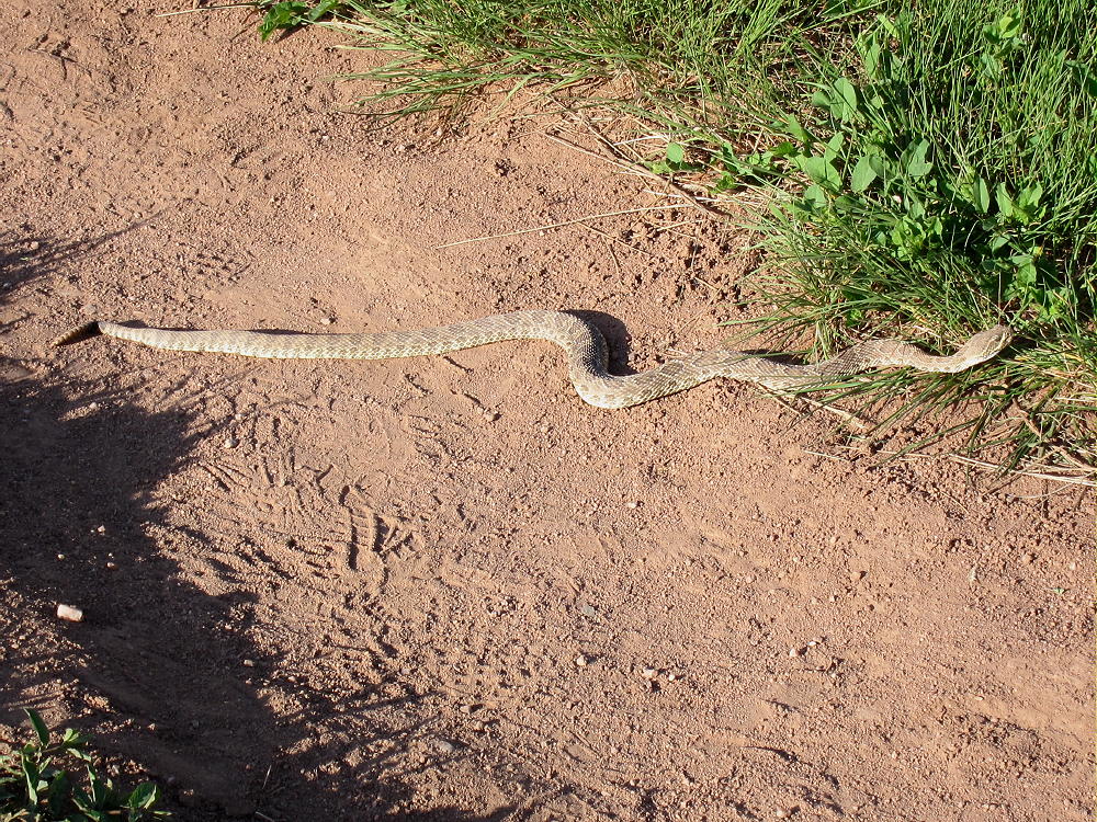
- Coffintop – Hall Ranch Rattlesnake
73
George
KX0R
-
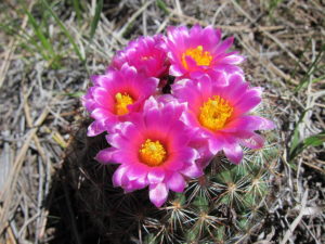
- Coffintop Hike – Ball Cactus
-
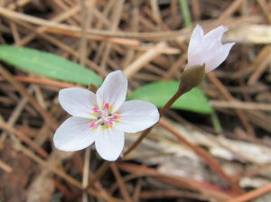
- Coffintop Hike – Spring Beauties
![]() !! WARNING !! There are old mountaineers, and
bold mountaineers... there are no old-bold mountaineers.
Hiking and mountain climbing are potentially hazardous activities particularly in Colorado with its extreme elevations. I am not accepting responsibility for any death or injury resulting from activations based on my trip reports. Proper training, experience, and personal capability assessment is required - enjoy!
!! WARNING !! There are old mountaineers, and
bold mountaineers... there are no old-bold mountaineers.
Hiking and mountain climbing are potentially hazardous activities particularly in Colorado with its extreme elevations. I am not accepting responsibility for any death or injury resulting from activations based on my trip reports. Proper training, experience, and personal capability assessment is required - enjoy!