SOTA outings by KØMOS and contributors

Tag: Front Range

  • W0C/FR-080 (Sheep Mountain) – 2576 m / 8450 ft

    W0C/FR-080
    Sheep Mountain
    2576m / 8450 ft
    Oct 7, 2015
    Sep 29, 2016

    By KX0R

    Key points:

    City of Loveland and Roosevelt National Forest
    • Good maintained trail to the top
    • Easily accessible trailhead – eventually – closed now – see below!!
    • Moderate hike with considerable elevation gain
    • Beautiful trip through varied terrain
    • Plenty of wildlife
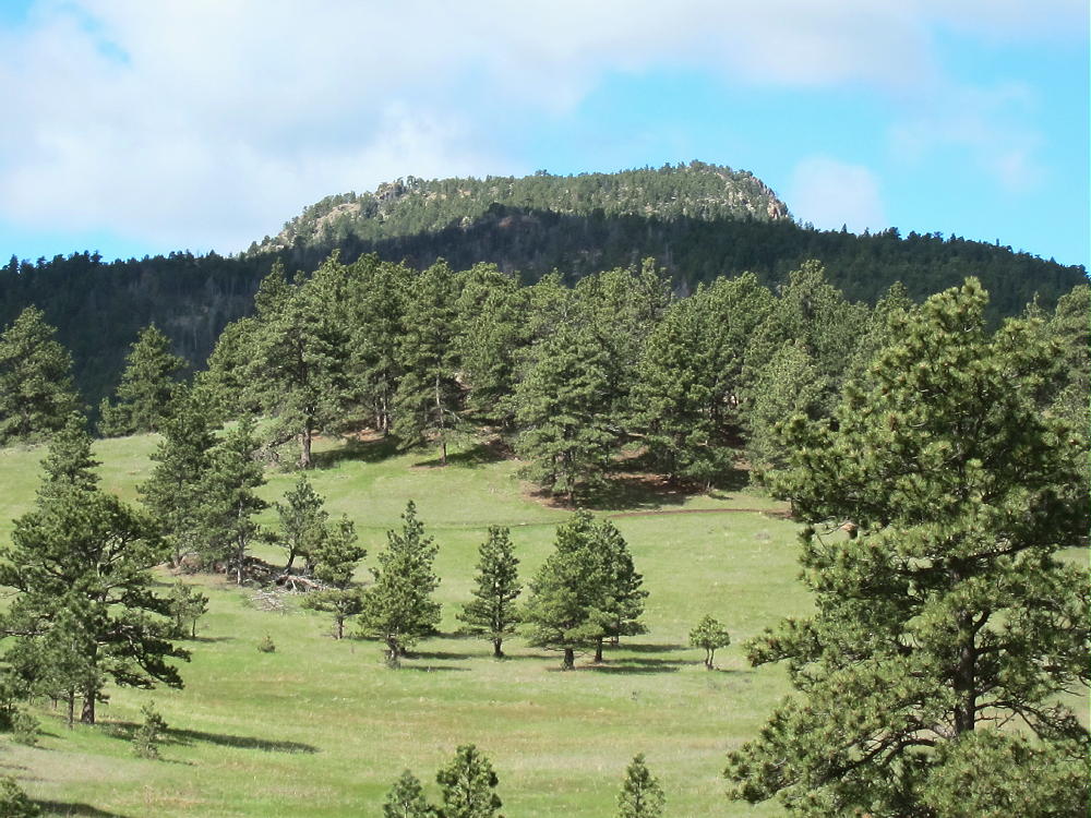
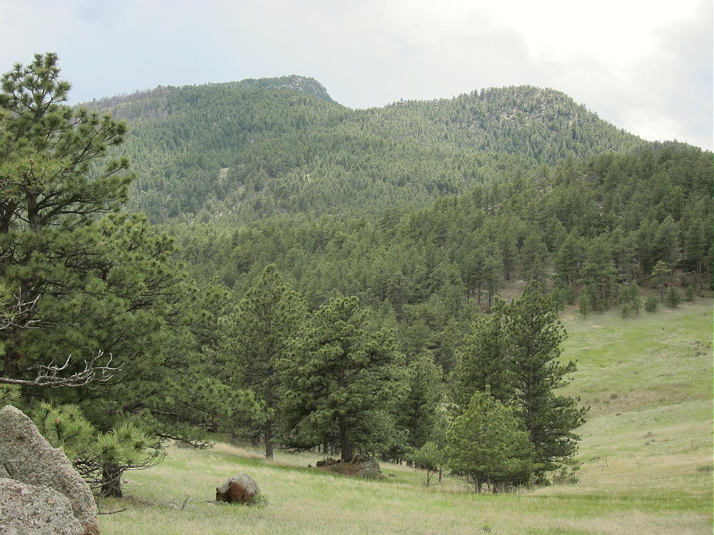
    • Pleasant forested summit with no fire damage
    • Starting elevation ~ 5770 feet
    • ~ 9.4 miles round trip
    • ~ 2800 total vertical feet of gain
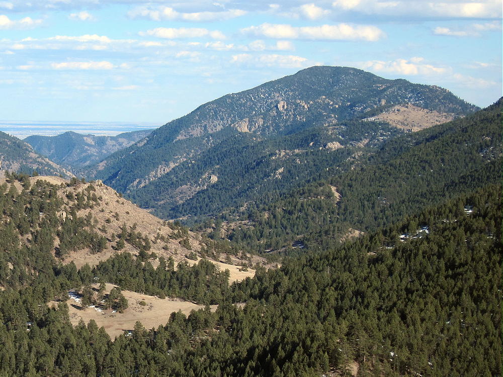
    There are many “Sheep Mountains” in Colorado. Sheep Mountain W0C/FR-080 is a prominent summit on the south side of the Big Thompson Canyon, west of Loveland, Colorado. It’s about 2 miles from Palisade Mountain W0C/FR-084, across the canyon.

    Thanks to Brian N0BCB for first activating W0C/FR-080. This aroused my curiosity about the big mountain. When I first looked at the Google map, I assumed that there was no trail. Eventually I learned otherwise…

    The USFS Round Mountain Trail # 969 leads all the way to the summit of Sheep Mountain. This is a National Recreation Trail; it was built mostly by the CCC in the 1930’s. The upper part is called the Summit Adventure Trail. This is a well-maintained hiking trail with excellent access; the USFS says use is light.

    Driving Directions:

    • Drive several miles west of Loveland on Highway 34.
    • The trailhead is about 4 miles west of the Dam Store
    • In the canyon, pass the closed entrance to the Loveland Viestenz-Smith Mountain Park on the right
    • Look on the left for a sign
    • Immediately turn left onto a marked dirt road leading into the parking area
    • There’s space for about 20 cars
    • Parking is free

    *** In 2017 the Big Thompson Canyon Highway 34, including the area near this trailhead, is closed due to highway re-construction.  Check online before going up there!!
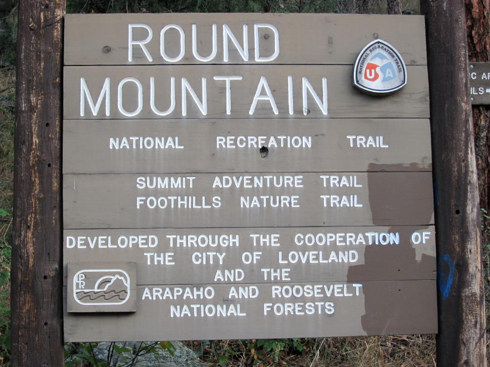
    This trailhead isn’t labeled on Google Maps, and the Round Mountain Trail is not shown at all!

    The Hike:

    • Start up the trail on the Foothills Nature Trail, which is property of Loveland.
    • After ¼ mile, the Round Mountain Trail splits off to the left at a sign.
    • At first the trail climbs gently east, across a steep, north-facing slope
    • Then it climbs progressively up the northeast ridge of Sheep Mountain.
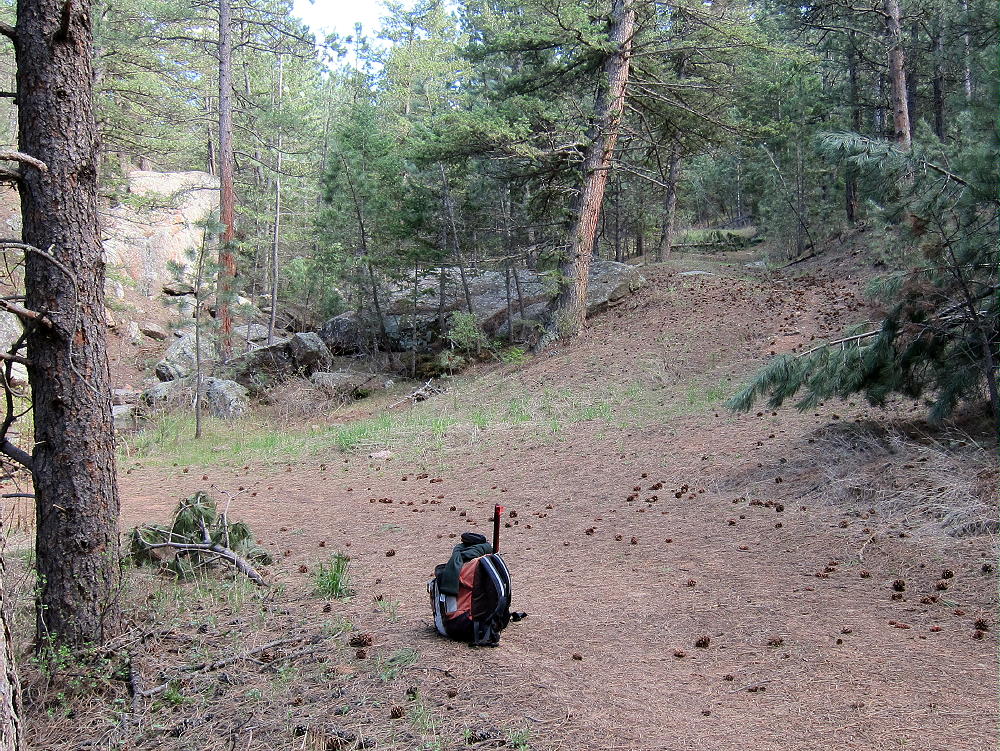
    • The route leads southwest through some interesting rock formations

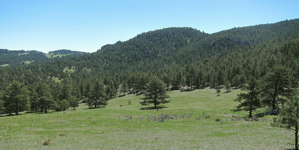
    • At 7380 feet, it turns south and contours into a pleasant valley
    • The path ascends the head of the valley to the saddle southeast of Sheep Mountain
    • From the saddle, the trail climbs 1000 vertical feet, up several switchbacks to the summit.
    The only water on the trail is a spring along the trail in the valley, at about 7370 feet. There’s a warning there that the water must be treated to be safe to drink. Carry enough water, or use a pump-filter or other means to purify the available water.

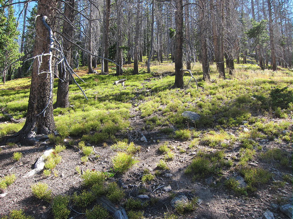
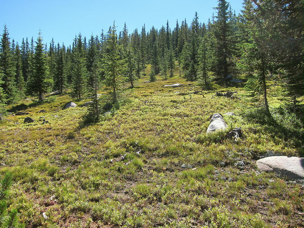
    The forested summit is large and relatively flat – the Activation Zone is spacious! There are plenty of pine trees for supporting a pole or a wire. I set up my gear about 100 feet north of the summit, in a pleasant spot at the edge of a small meadow. It was quiet, and I saw no one while I was up there.
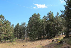
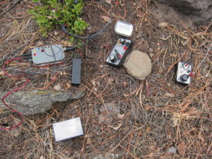
    There’s no development or radio equipment on the mountain. Sheep Mountain is an ideal radio site, with no close sources of RF noise, and it’s not blocked by any higher mountains nearby. This peak has pretty good UHF/VHF coverage of much of the greater Denver metro area, as well other cities along the northern Front Range.

    My HF SOTA activations on Sheep Mountain have been easy and fun!  With an ATS-3B radio, an end-fed wire, and only 5 watts output:

    October 7, 2015, I spent more than an hour on the air, and I logged 25 CW contacts on 7, 10, 14, and 18 MHz. This session included one summit-to-summit (S2S) contact.

    September 29, 2016, I logged 44 CW contacts on 7, 10, and 14 MHz. This session included two S2S contacts.

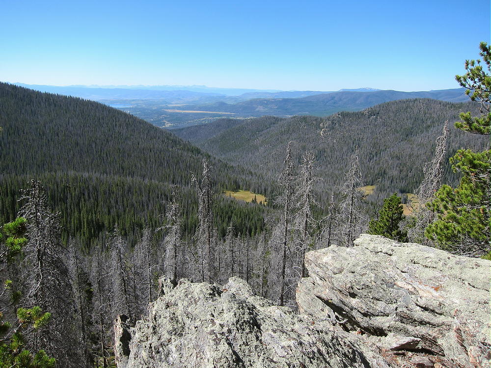
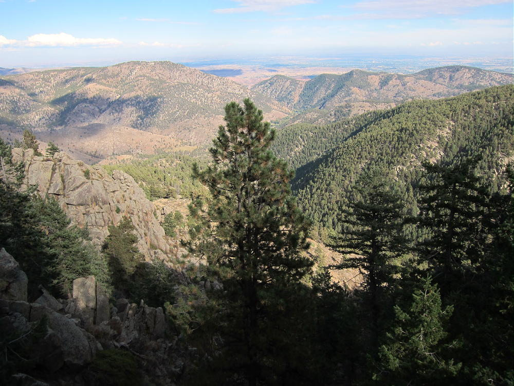
    Later I enjoyed exploring the top of the mountain and looking for views. This forested peak has no wide vistas, but dramatic views can be found at nearby crags.
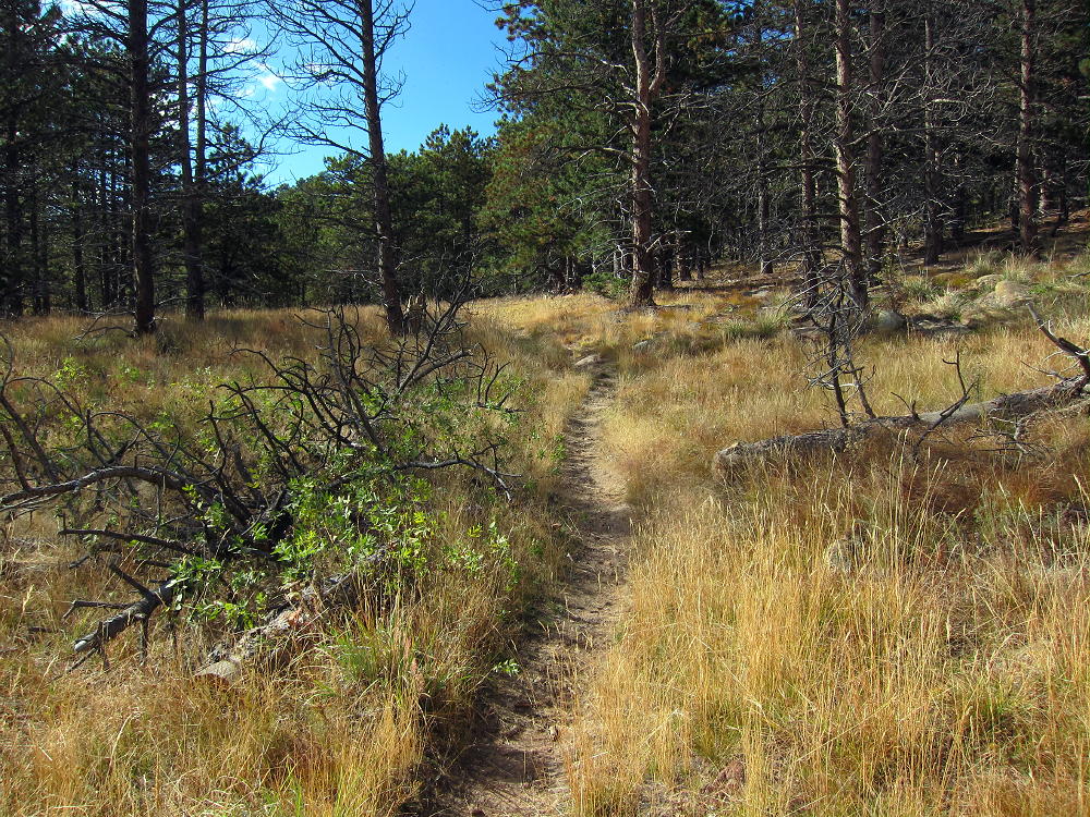
    Even though the USFS classifies the Round Mountain Trail as “most difficult”, this is a relative rating. It’s a moderately stiff trail, and it might be better to skip it on a hot day – or start really early. This is a fine climb for experienced hikers with light gear, but it might be arduous for those not used to the altitude, or carrying too much weight. It’s also too long for a good family hike. Unless you’re a SOTA activator, the summit’s slightly disappointing. I thought the hike was really nice in early October!
    Other SOTA peaks are near Sheep Mountain:

    W0C/FR-084 Palisade Mountain 2 miles north, across the canyon
    W0C/FR-192 8310 2 miles west
    W0C/FR-103 Alexander Mountain 3-1/2 miles east
    W0C/FR-057 Crosier Mountain 6 miles west
    W0C/FR-064 West Crosier 7 miles west

    Of these, Palisade is the easiest peak to combine with Sheep Mountain for a dual activation.
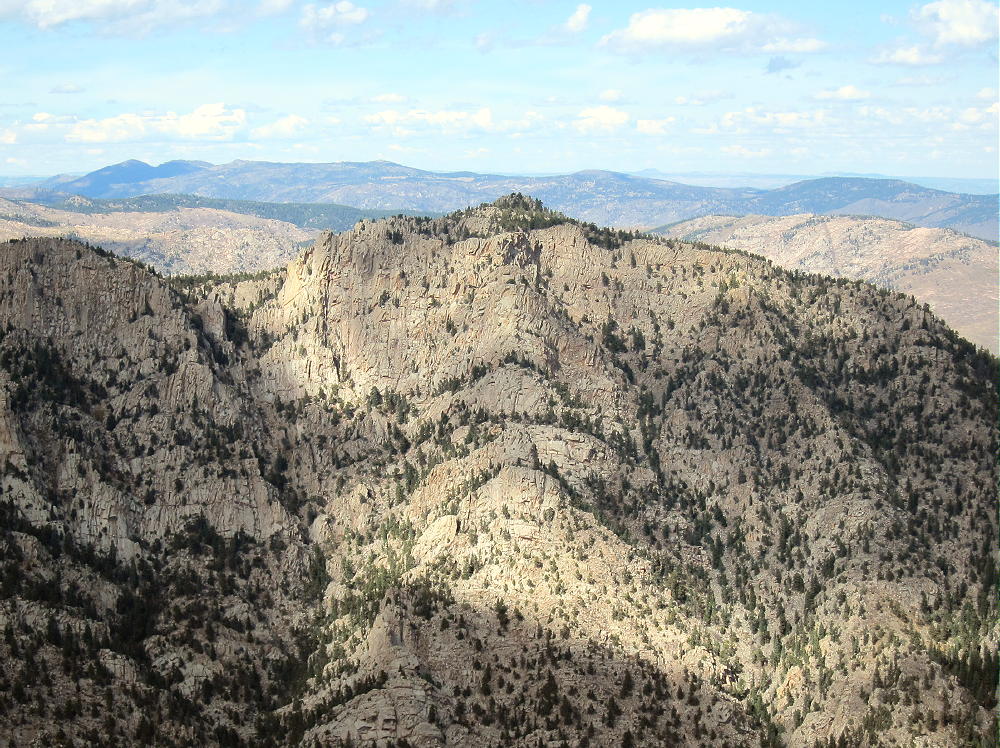
    Sheep Mountain is a fine SOTA peak with a convenient trailhead. Activators who like to hike with light equipment will enjoy this peak. This is another Colorado two-point summit that comes with lots of exercise and few hassles.

    73

    George
    KX0R
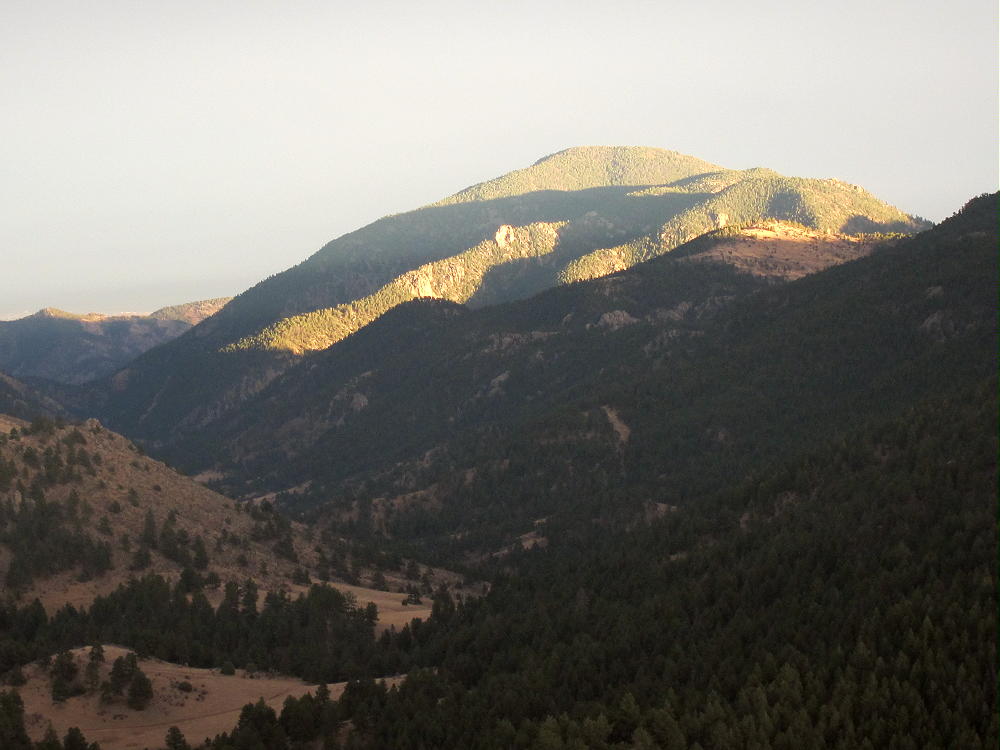

    ATTENTION !! WARNING !! There are old mountaineers, and bold mountaineers… there are no old-bold mountaineers. Hiking and mountain climbing are potentially hazardous activities particularly in Colorado with its extreme elevations. I am not accepting responsibility for any death or injury resulting from activations based on my trip reports. Proper training, experience, and personal capability assessment is required – enjoy!
  • W0C/FR-020 (Kataka Mountain) – 3792 m / 12441 ft

    W0C/FR-020
    Kataka Mountain
    3792 m / 12441 ft
    First Activation
    July 11, 2015

    By KX0R

    Kataka Mountain is a lightly-visited alpine summit in the Mount Evans Wilderness about 25 miles west of the Denver area.

    Key points of the trip:

    Pike National Forest
    • Good trail most of the way
    • No marked route or trail to the summit
    • Navigation and route-finding required
    • Fine HF site
    • Friendly meadows with alpine flowers
    • ~14.4 miles round-trip (~3 hours each way)
    • ~3100 vertical feet

    Driving Directions:

    • Drive west from Denver on Highway 285
    • About ½ mile before Crow Hill, turn right on Road 43A – this becomes Road 43
    • Continue on Road 43 up the Deer Creek Valley for several miles, to the end of the road
    • The last section of the road is unpaved but passable in most cars
    • Park at the Deer Creek Trailhead at 9300 feet

    Summary of the route:

    • Hike the marked Rosalie Trail 603 all the way up to the saddle at about 11600 feet
    • At the sign go left on Three Mile Trail 635
    • Continue south to the willows east of Kataka
    • Hike through or around the willows near the south side
    • Climb up the tundra on the east side of Kataka
    • Continue to the summit near the south end of the mountain

    Additional details:

    Most of the route is in the Mount Evans Wilderness. This is a protected area with special rules. There is no charge for parking or entry. The Rosalie Trail follows Deer Creek up a beautiful valley, all the way to the alpine tundra.

    This is a high-quality hike on its own. An early start is advised, especially if thunderstorms are in the forecast.

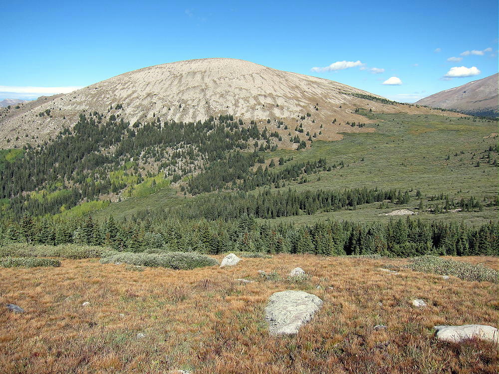
    Kataka is visible above tree-line; at the sign where the trail splits, the dome-shaped mountain is obvious to the southwest.

    It’s not far to the willows east of Kataka. The southern part of the willow area has gaps and paths through the bushes; avoid the dense northern part. This area looks like it would be wet in early summer, but it was no problem July 11, 2015.

    The summit is about 700 vertical feet above the saddle near the willows. There’s no trail up to the top. The climb up the tundra is not difficult – stay north of the steep, rocky slopes on the southeast side. The Google satellite image shows many key details. The northeast slopes also may provide a good route.

    Kataka is a massive mountain with a large, rounded top. The summit surprised me – it was very beautiful, with lush vegetation and many alpine flowers. It’s a friendly place in good weather. There’s little evidence of other visitors. The views are wonderful in all directions! Mount Evans and Mount Bierstadt stand high to the north, and broad Mount Logan dominates the southeast.

    Rosalie Peak is three miles to the northeast, and Geneva Mountain is only two miles to the northwest. All of these mountains are fine SOTA peaks!

    Kataka also looks southwest across Kenosha Pass into South Park. Some of the Collegiate Peaks are visible far beyond; if it’s clear, the tops of the Crestones are visible above other peaks far to the south.

    The large activation zone is mostly alpine tundra and boulders. I set up my pole and gear slightly east of the peak to avoid the breeze. Because Kataka is surrounded by higher mountains in several directions, it’s probably not a good VHF/UHF site. There may be some coverage down the valley to the east, as well as into South Park.

    This peak is a fine HF location. All development is miles away, so the HF noise level is low. The surrounding peaks don’t attenuate HF sky-wave signals much. I had a fine SOTA session, with 32 contacts on 10-14-18-21 MHz CW. I was on the air for over 80 minutes, and I didn’t want to shut down.

    Kataka Mountain should be climbed on a dry day with a low probability of thunderstorms. My hike required just over three hours from the trailhead to the summit – I was pushing pretty hard, because clouds were gathering as I climbed. An early start is essential, because the hike is long, and a good activation requires a long time on the summit.

    Kataka Mountain is a SOTA Classic:

    • Pristine wilderness location
    • Beautiful hike up the Rosalie Trail
    • Challenging distance
    • Significant vertical gain
    • Wonderful setting among higher peaks
    • Seldom visited
    • Friendly summit with flowers and great views
    • Great HF radio site

    This mountain is recommended only for SOTA activators who enjoy long, fast hikes at high altitude. Lightweight gear is essential.

    It’s possible to climb Kataka from the west via the Three Mile Trail. The trailhead is along the southern part of the Guanella Pass Road, about three miles north of Grant. This equally-scenic route is about the same difficulty as the route from the east!

    There are other SOTA peaks in the area of Kataka Mountain. Possibilities for a challenging dual activation include:

    W0C/SP-050 Geneva Mountain 2 miles NW
    W0C/FR-007 Rosalie Peak 3 miles NE
    W0C/FR-017 Mount Logan 2-1/2 miles SE

    Camping nearby might make it practical to activate multiple summits in the area. Numerous forest campgrounds and campsites are within a few miles of Kenosha Pass; backpack camping in the Mount Evans Wilderness is allowed – but special rules apply.

    Let’s keep Kataka pristine – tread gently on its fragile alpine meadows!

    73

    George
    KX0R


    ATTENTION !! WARNING !! There are old mountaineers, and bold mountaineers… there are no old-bold mountaineers. Hiking and mountain climbing are potentially hazardous activities particularly in Colorado with its extreme elevations. I am not accepting responsibility for any death or injury resulting from activations based on my trip reports. Proper training, experience, and personal capability assessment is required – enjoy!
  • W0C/FR-086 (Coffintop Mountain) – 2457 m / 8060 ft

    W0C/FR-086
    Coffintop Mountain
    2457 m / 8060 ft
    July 18, 2013 First Activation
    May 3, 2014
    May 17, 2015
    May 12, 2016

    By KX0R

    Despite its name, Coffintop Mountain is a fun, challenging summit in the mountains west of Lyons, Colorado. This peak offers an exciting SOTA activation.

    Key points:

    • Mountain in Roosevelt National Forest
    • Wild area – few visitors
    • No development on or near the mountain
    • Access via Buttonrock Preserve (City of Longmont)
    • Free parking at Buttonrock Trailhead, via Longmont Dam Road, CR 80.
    • Special rules apply in the Preserve
    • Upper part of route is mostly off-trail
    • Good navigation and route-finding required
    • My ascent required about 2-3/4 hours; descent was slightly less
    • Trailhead elevation ~ 6000 feet
    • Round-trip distance ~ 10 miles
    • Total elevation gain ~ 2050 vertical feet
    SOTA Classic!

    Driving Directions:

    • First drive to Lyons, Colorado.
    • Continue northwest on Highway 36 for about 3 miles
    • The road follows the North Saint Vrain Creek through a rocky canyon.
    • Just before the highway starts up a long hill, marked County Road 80 leads left across a bridge over the creek – tricky left turn.
    • Follow dirt road 80, Longmont Dam Road, about 3 miles to the Buttonrock Trailhead.
    • There’s no fee for entry or parking.

    The Hike:

    • Walk west up the scenic canyon on the gated service road.
    • The road leads by a small reservoir called Longmont Reservoir.
    • Continue up the canyon about ¼ mile to the marked Sleepy Lion Trail
    • Follow Sleepy Lion up a side canyon on the south side of the road.
    • Continue up Sleepy Lion until it connects with the Buttonrock Trail.
    • Follow the Buttonrock Trail up toward the northeast ridge of Coffintop.

    Route Explanation:

    There’s no marked trail from the Buttonrock Trail to the top of Coffintop. It’s necessary to leave the trail, ascend south, and meet the northeast ridge of Coffintop. The northeast ridge provides efficient, fun access to the summit. A social/game trail with some cairns leads up along this ridge. It’s essential to have a detailed topo map and compass to navigate through the rugged terrain. A GPS with map data is very helpful.  This expedition is recommended only for hikers with off-trail experience in similar terrain.

    Several possible routes provide access to the northeast ridge of Coffintop. Since some of the Boulder County land at the western edge of the Hall Ranch is a closed “conservation area”, hiking all the way up the Buttonrock Trail to the ridge is not the best option. A pleasant shortcut through the National Forest leads directly up to the northeast ridge and avoids crossing through the closed County area. This efficient route follows an abandoned road along a small creek up a secluded valley. The Buttonrock Trail meets this abandoned road at a sharp left-turn bend, at about 6500 feet elevation, where the main trail intersects the creek drainage. The old road is visible from the main trail, and it starts out on the west side of the creek.

    The coordinates of this key junction are:

    N 40 12.934’   W 105 20.657’ (WGS84)
    or
    40.2156   -105.3442

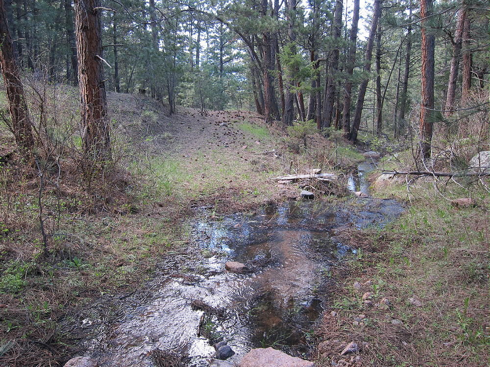
    After climbing for about 0.4 miles along the forested creek, the old road passes by an old water trough at about 6710 feet elevation.

    N 40 12.676’   W 105 20.492’
    or
    40.2112   -105.3415

    Above the trough, head east up a slope for several hundred feet up to an open meadow. Stay west of the old road visible in the meadow to the east – that road doesn’t lead to the summit. From the meadow look southwest, and find an opening on a little hill heading up toward the northeast ridge of Coffintop. An old trail leads up the ridge just south of the ridgetop. This rough route runs a long way up toward the summit. Following this trail is a challenge, but the route is efficient and avoids many hassles. Parts of the trail run along a Vee-shaped gully. Avoid any steep slopes or cliffs.

    A key waypoint on the northeast ridge at about 7080 feet elevation is at:

    N 40 12.510’   W 105 20.672’
    or
    40.2085   -105.3445

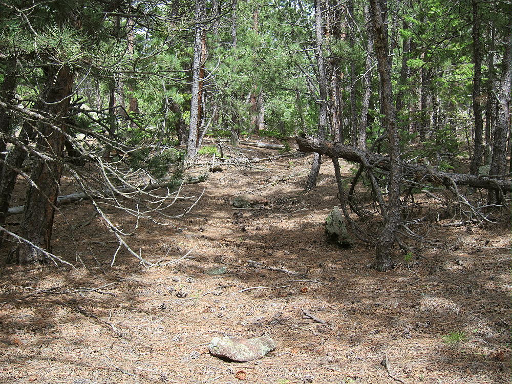
    Above this point the route climbs progressively up the ridge through the forest. At about 7400-7500 feet elevation the path is sketchy, and the route I follow is on the north side of a ridge. Avoid any steep rocks.

    A waypoint in that area of the northeast ridge at about 7440 feet elevation is:

    N 40 12.244’   W 105 20.979’
    or
    40.2041   -105.3496

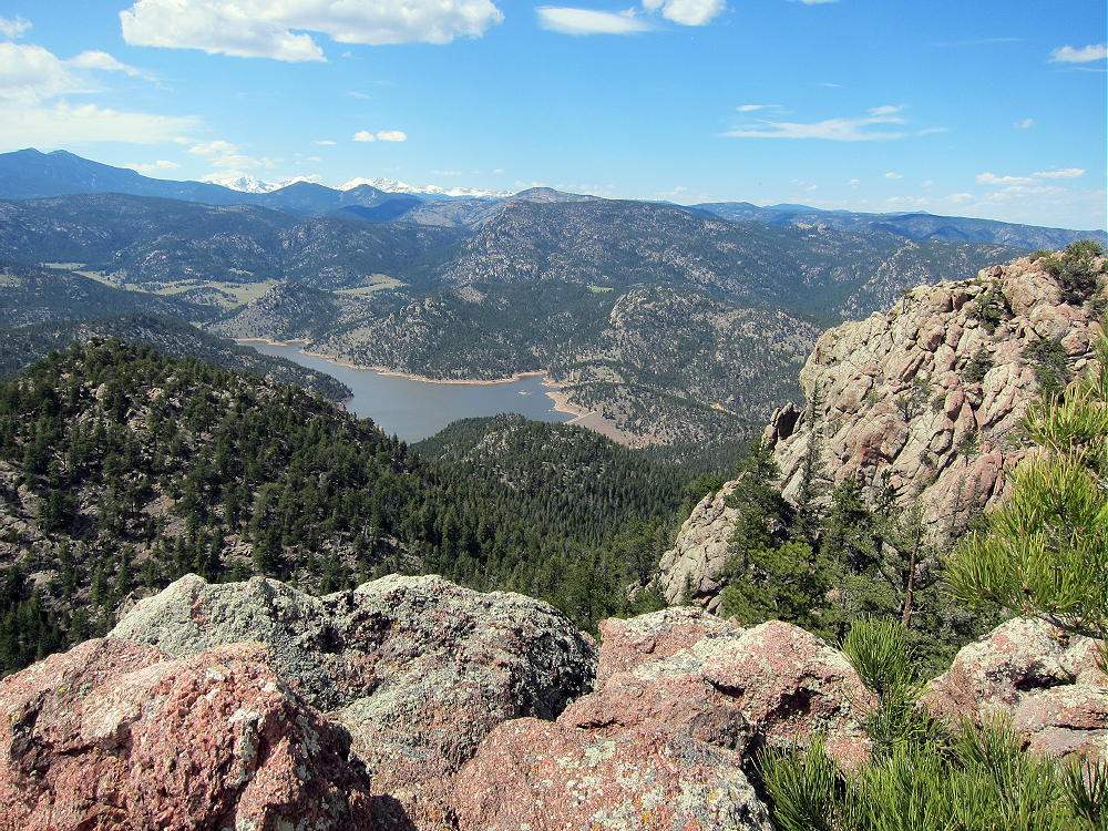
    Above about 7600 feet elevation, continue ascending the northeast ridge; follow cairns leading up a shallow gully, just south of some rock outcrops east of the summit. Soon the route passes south of the north summit; the south summit is about 450 feet further along the rocky ridge. The views west are stunning!

    Note that most of Coffintop Mountain, including the part of the northeast ridge used for this route, is within Roosevelt National Forest.

    Which summit is the highest point?

    I made various GPS measurements – my GPS has a barometric altimeter that helps stabilize the readings, allowing approximate comparisons of closely-spaced points. I could not determine which summit is the actual peak – they are within a few vertical feet of each other. My measurements from two trips suggest that both summits and the connecting ridge are within the activation zone. Visually it looks that way also.

    The Google maps on the SOTA summit page show the red balloon for the summit on the south peak, so activating this would seem to remove any doubt. Lists of John also shows the south summit as the peak, and the list says 8060 feet, but none of the online maps on that site support that elevation for the south summit. However, the Google map shows the green summit symbol on the north peak. Significantly, the historical USGS 7-1/2 minute topo map (Lyons Quadrangle) clearly shows the north summit with an additional contour line at 8040 feet, but this contour only appears on the north summit. The altitude of the north summit is designated as 8049 on the map – indicating that USGS thought the north summit is the real peak.

    However, the current USGS digital map for the Lyons quad online shows the south summit within a closed contour of only 8000 feet. The contour interval is 40 feet. The north summit is not shown above 8000 feet! I cannot see where the number 8060 came from – this does not agree with the current USGS digital data. That data says that the south summit is the peak, and it is less than 8040 feet. This current map appears to confirm that the Activation Zone includes both summits and the connecting ridge.

    Pick whichever summit you like for your activation, and set up well within 75 vertical feet of the top. There are plenty of nice spots in the Activation Zone. The ridge provides shelter from the west wind, and numerous trees are available to hold a pole or a wire antenna.

    Coffintop is a classic radio site. Its prominence and eastern position provide wide views out across the Plains. Only a few slightly higher mountains stand near the mountain in other directions, so this peak is an almost ideal HF site. HF noise is very low.  There are plenty of trees and rocks for supporting a wire or a pole.

    This peak is probably a pretty good VHF/UHF site. The view is clear from southeast to northeast. Some other mountains partially block signals north and south of the mountain – western parts of Denver, Boulder, and Fort Collins are not directly visible.

    All of my activations of Coffintop have been fun.

    Summary of results:

    July 18, 2013    14, 18, 21 MHz CW           34 Q’s     0 S2S    0 DX
    May 3, 2014      7, 14, 21 MHz CW            43 Q’s     6 S2S    5 DX
    May 17, 2015    10, 14, 18, 21 MHz CW    32 Q’s     2 S2S    2 DX
    May 12, 2016    7, 10, 14 MHz CW            34 Q’s     0 S2S    1 DX

    Coffintop Mountain is a SOTA Classic!

    • Interesting, challenging hike
    • Convenient access
    • Wild area
    • Exciting, prominent summit
    • Great views
    • Excellent radio site
    • Nice activation zone
    • Seldom visited

    Coffintop’s prominence makes it a target for lightning. Higher mountains to the west generate thunder storms in spring and summer, so it’s essential to climb Coffintop on dry days, or early enough to avoid storms.  Don’t let Coffintop put you in a coffin!

    Hiking in Buttonrock Preserve is a special privilege. This is a watershed for the City of Longmont, and it’s a protected area. Longmont is very generous in allowing access to the public. Many cities, including Boulder, don’t allow hiking in some of their watershed areas. It’s important to understand and obey the rules while in the Preserve. Fortunately, these rules are simple and clear:

    • NO Camping
    • NO Overnight parking
    • NO Bicycles
    • NO Horses
    • NO Fires
    • NO Hunting
    • NO Firearms
    • NO Boats or Floating Devices
    • NO Swimming
    • NO Resource Collection or Removal
    • Fishing in the Reservoir requires a special permit

    Note that hiking off-trail is NOT prohibited. Please respect and obey the Preserve rules so that continued access will be allowed.

    Coffintop also can be accessed from the huge, beautiful Hall Ranch, Boulder County Open Space, east of the peak. The Hall Ranch Trailhead is located north of South Saint Vrain Highway 7, about a mile west of Lyons. There’s no fee to park, but special rules apply. The Nighthawk Trail leads all the way up to the Buttonrock Trail northeast of Coffintop. This is a much longer route than from the Buttonrock Preserve, but it’s very scenic.

    Several other more challenging approaches can be used to climb Coffintop.

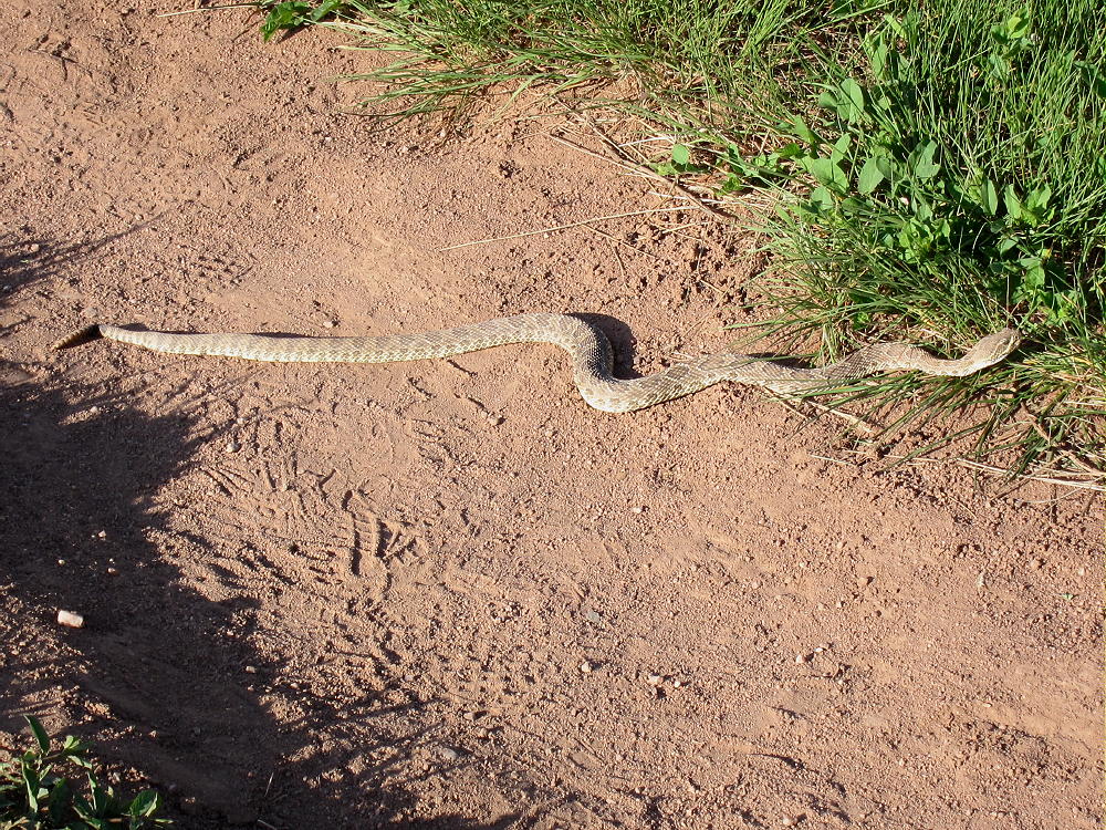
    Be aware that rattlesnakes are common at both Hall Ranch and Buttonrock Preserve!

    73

    George
    KX0R


    ATTENTION !! WARNING !! There are old mountaineers, and bold mountaineers… there are no old-bold mountaineers. Hiking and mountain climbing are potentially hazardous activities particularly in Colorado with its extreme elevations. I am not accepting responsibility for any death or injury resulting from activations based on my trip reports. Proper training, experience, and personal capability assessment is required – enjoy!
  • W0C/FR-172 (9166) – 2794 m / 9166 ft

    W0C/FR-172
    9166
    2794 m / 9166 ft
    Sep 16, 2015 First Activation
    Aug 9, 2016 Second Activation

    By KX0R

    Summit 9166 is an obscure summit near Stove Prairie, west of Fort Collins, Colorado.

    Key Points:

    • Roosevelt National Forest
    • Access via forest road
    • No marked trail
    • Game trails and serious bushwhacking
    • Burned by the High Park Fire in 2012
    • Flood damage in 2013
    • Rarely visited
    • Fine HF site
    • ~ 4.6 miles round-trip
    • ~ 1400 vertical feet

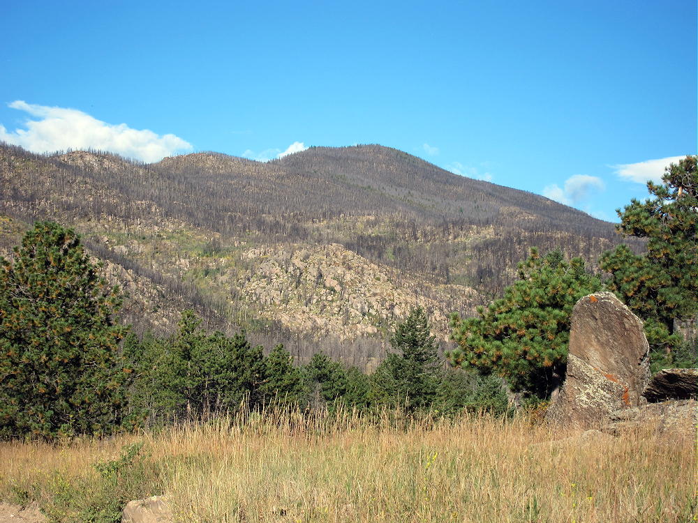
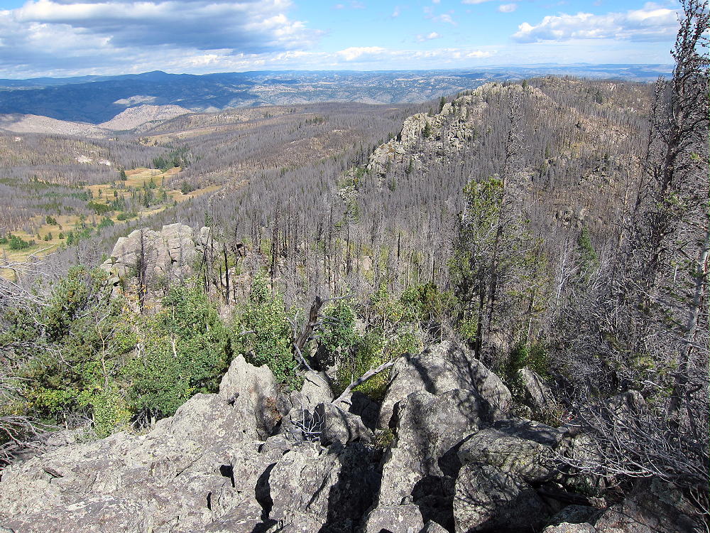
    9166 stands about 3.2 miles west of Stove Prairie. Most of the peak and the surrounding forest burned in the huge High Park Fire of 2012. The torrential rains and resulting floods of 2013 further eroded and damaged the burned area. For a long time these parts of Roosevelt National Forest were closed to recreation.

    In 2015 I learned that County Road 52E, the Old Flowers Road, was open to the public; this 4WD road provides access to 9166, as well as the National Forest further west.

    Driving Directions:

    • From Highway 287 in Loveland, drive west on Highway 34 about 6.5 miles
    • Turn north on CR 27 and continue north about 5 miles to Masonville
    • Follow CR 27 Buckhorn Road northwest about 13 miles to Stove Prairie
    • Stove Prairie also can be accessed via Rist Canyon Road 52E from Fort Collins
    • At the crossroads by the school, turn west on 2WD Road 52E
    • Follow 52E about 3 miles through private ranches to the National Forest
    • Continue west up a creek on Old Flowers Road FR-152 (4WD)
    • The trailhead is about 2 miles west of the National Forest gate near the top of a big, open saddle at 8420 feet.

    Road Details:

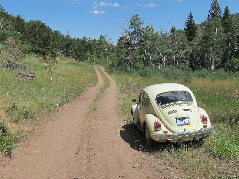
    Initially 52E is a good unpaved 2WD road; it runs through several beautiful private ranches – driving by is OK, but signs warn that no parking or trespassing is allowed. After about 2 miles, 52E goes up over a low pass; then it descends through another ranch, down to a small creek. The Old Flowers Road FR-152 leads west up the narrow valley and enters the National Forest. The road shrinks, becomes rougher, and starts to look and feel like a jeep road. I was able to drive my old VW bug over a mile, up to a steep section east of the trailhead. There are a few pullouts and informal campsites along the road.

    Where Old Flowers Road leaves the ranch property and enters the National Forest there’s a gate. Please check with the USFS to find out if the gate’s open. It’s likely closed for most of the winter and spring.

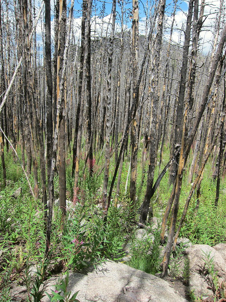
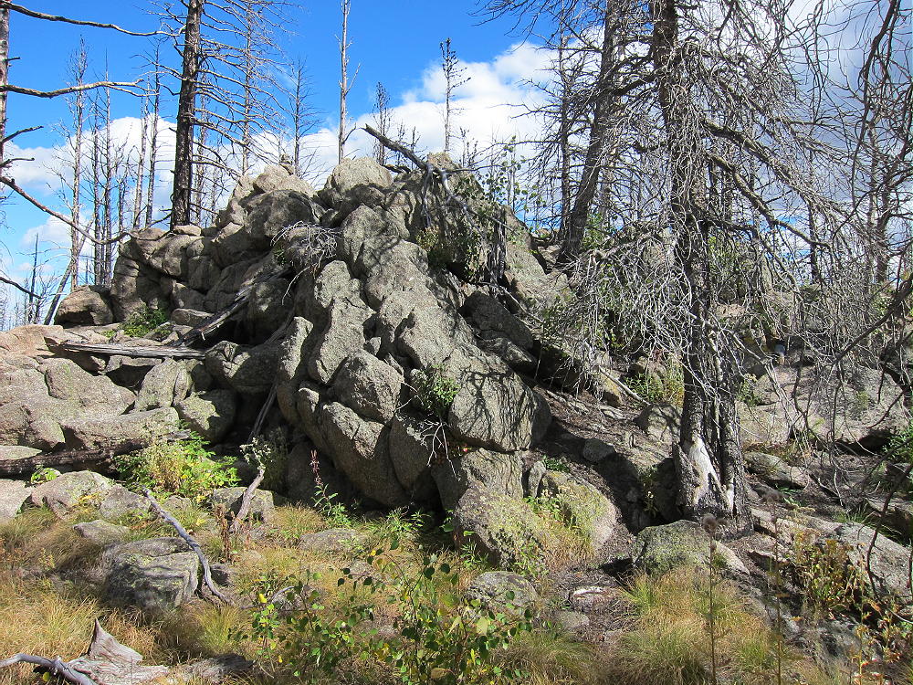
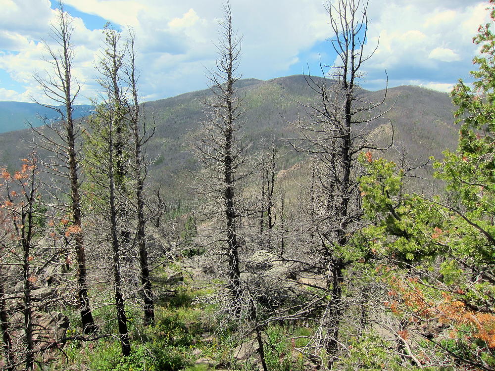
    Except near the creek, most of the forest back there is burned up. Almost all the trees are black, but most are still standing. The area is now full of weeds and other plants that came in after the fire.

    The Hike:

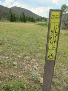
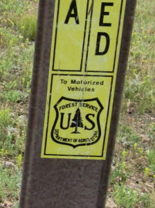
    • From the top of the pass at 8420 feet, walk west a short distance along the road to a Forest Service marker that prohibits access to motorized vehicles.

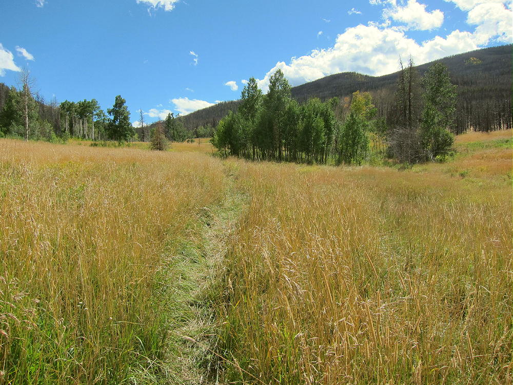
    • Hike south along a track into a huge meadow
    • Follow a game trail along the east side of the meadow for about ¼ mile

    • Head east up a draw, on a good game trail, to the saddle at 8700 feet, north of 9166

    • Hike south on rough game trails up the rocky north ridge of 9166
    • The summit is only about 0.3 miles from the saddle at 8700 feet
    • The ridge has plenty of thickets, deadfall, and other challenges

    • In spots you can choose between scrambling up big rocks or bushwhacking through hells of small trees!
    • The route gets much nicer near the summit
    • The peak’s at the top of a large rock outcrop in a relatively flat area.

    Summit Details:

    The activation zone of 9166 is large, with plenty of dead trees for supporting a pole or antenna wire. The mountain has a pretty good view east to the Plains – I could see a wind farm out near the Wyoming state line. East White Pine Mountain stands higher to the southwest, but the raised horizon is no problem in that direction. HF propagation should be fine in most other directions. There’s limited VHF/UHF coverage to the east. With no development close by, the RF noise level is very low. 9166 is an excellent SOTA peak, once you get up there.

    When I first climbed 9166 in 2015, I left FR-152 northeast of the mountain near 8000 feet and began ascending southwest up the valley there. That route was so overgrown that I climbed up to the saddle at 8700 feet on the north ridge; I continued up the ridge as described above. The route up the grassy valley northwest of the mountain is far superior to anything northeast of the peak.

    When I was on 9166 in 2015, there was no evidence that anyone had visited the peak for a long time. This is probably one of the least-visited SOTA peaks near the Front Range area.

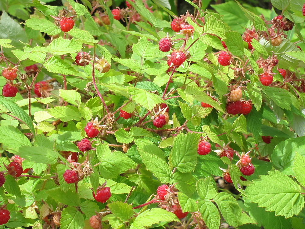
    On August 9, 2016, the north ridge and the summit area were covered with millions of ripe raspberries. It was incredible – these plants flourish after a big fire!

    9166 could be combined with other SOTA peaks in the area for a dual activation:

    W0C/FR-046 West White Pine Mountain
    W0C/FR-146 East White Pine Mountain
    W0C/FR-198 7980
    W0C/FR-097 Sheep Mountain
    W0C/FR-205 7612
    W0C/FR-088 Mount McConnel

    It might be possible to hike the burned northeast ridge of East White Pine mountain to Summit 9166 and back. It’s more than 2 miles from one summit to the other. Possibly all three summits could be done in one very long day: West White Pine, East White Pine, and 9166. The access from Old Flowers Road might work as well as the washed-out Forest Road/Trail 100 from Buckhorn Road.

    Don’t try this unless you’re Superman…the route requires miles of bushwhacking through burned forest.

    73

    George
    KX0R


    ATTENTION !! WARNING !! There are old mountaineers, and bold mountaineers… there are no old-bold mountaineers. Hiking and mountain climbing are potentially hazardous activities particularly in Colorado with its extreme elevations. I am not accepting responsibility for any death or injury resulting from activations based on my trip reports. Proper training, experience, and personal capability assessment is required – enjoy!
  • W0C/PR-031 (Mount Sniktau) – 4034 m / 13234 ft

    W0C/PR-031
    Mount Sniktau
    4034 m / 13234 ft
    July 25, 2015
    Nov 9, 2016

    By KX0R

    Mount Sniktau is an accessible alpine summit near the Continental Divide west of Denver.

    Key points:

    • Relatively easy high summit
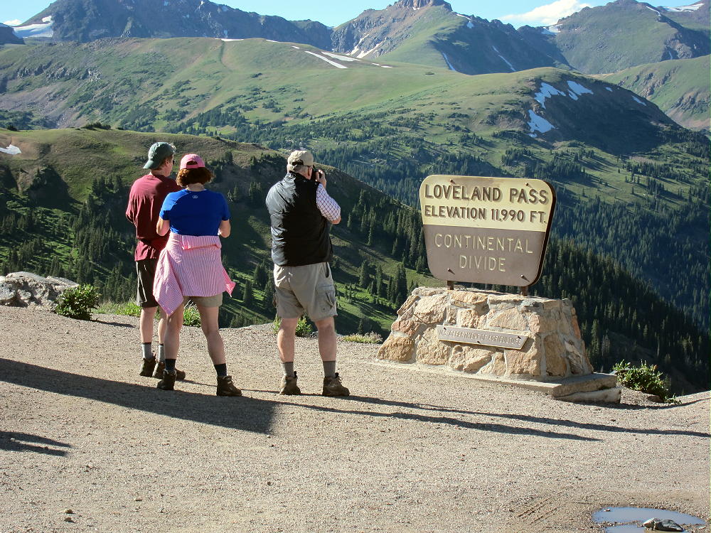
    • Access via Loveland Pass
    • Trail to the top
    • Fine HF site
    • Great scenery
    • ~ 3.6 miles round trip
    • ~ 1350 vertical feet to the summit
    • ~ 100 vertical feet on the return

    Driving Directions:

    • Drive west from Denver on I-70
    • Exit east of the Eisenhower Tunnel on Route 6
    • Follow the highway several miles up to Loveland Pass
    • Park near the 12,000-foot Pass
    • Loveland Pass is a popular spot, and parking is limited
    • There’s additional parking south of the Pass

    The Hike:

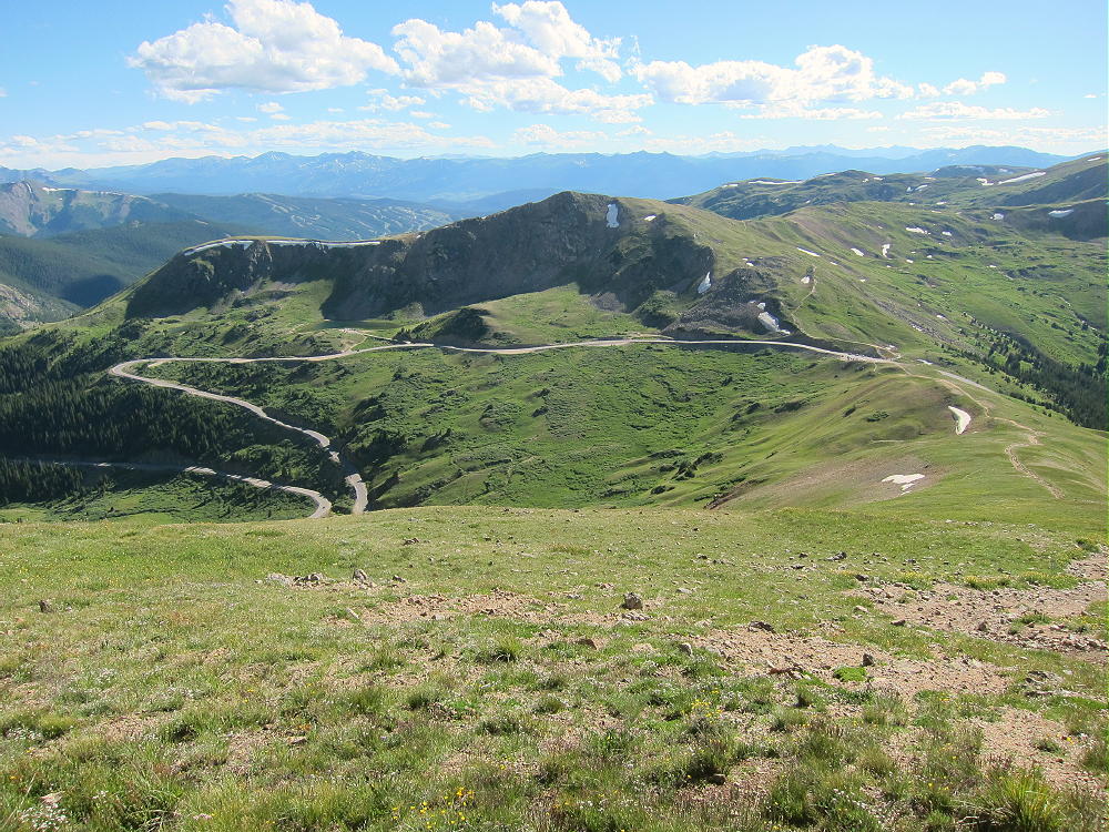
    • Hike about 0.8 mile northeast up the ridge trail to a higher ridge at 12900 feet.  This part of the route is along the Continental Divide.

    • Continue north along the higher ridge for about 1.0 mile to Mount Sniktau

    Details:

    Because of the high location, dangerous afternoon thunder storms may occur in spring and summer; an early start is recommended.

    The entire hike is above tree-line along rocky ridges.

    On a day with wind, this might be a challenging hike. The temperature may be cold, even in summer. If conditions are good, this is one of the easier high summits near Denver. The views of the nearby mountains are spectacular.

    The alpine summit has a convenient, relatively flat top; the activation zone has plenty of room for an HF antenna. If there are many other hikers, it might be best to set up away from the actual peak. A pole is needed for erecting a wire antenna.

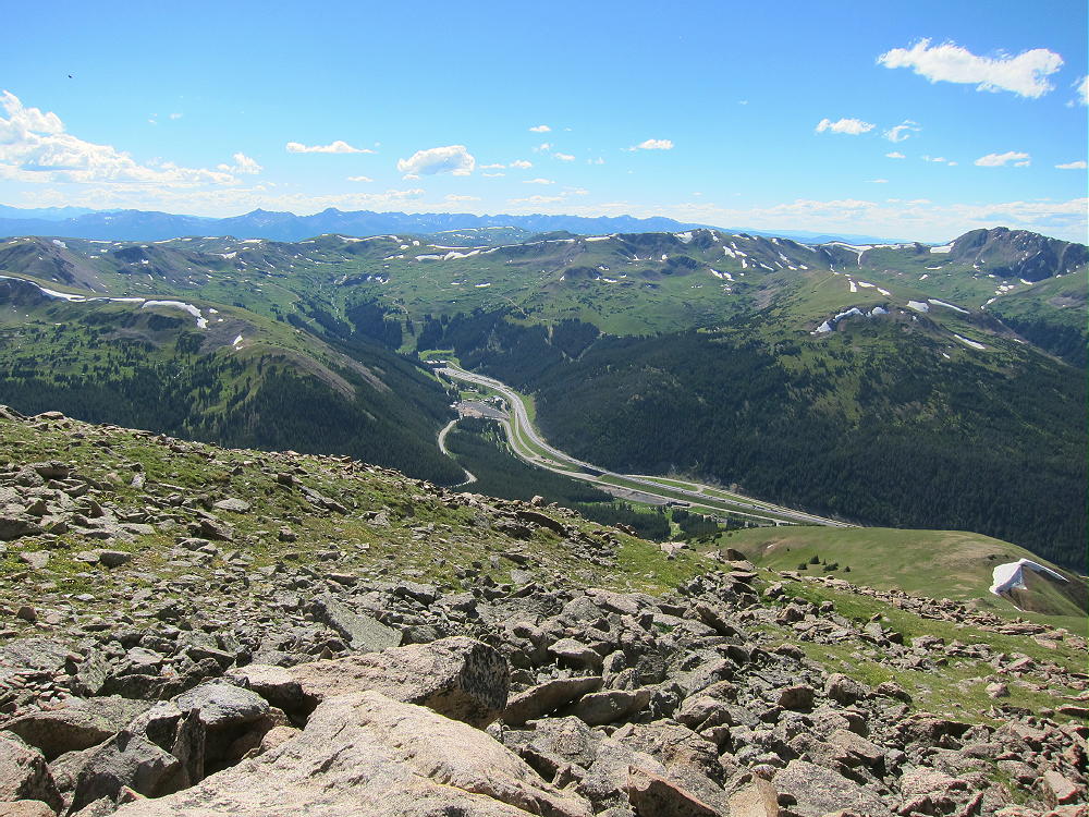
    Sniktau has no development close by, and the HF noise level is low. The peak looks down on I-70, the Eisenhower Tunnel, and ski areas far below.

    There are several higher peaks to the south and north. VHF/UHF coverage of the populated areas to the east is partially blocked by numerous mountains, but it may be possible to make some contacts anyhow.

    Mount Sniktau is a fine HF site. I had a relatively short activation, with only 18 contacts on 10, 14, and 21 MHz CW. However, one of those contacts on 21 MHz was VK5CZ, Ian, in South Australia; and Jean, VE2JCW/M, worked me on 14 MHz, mobile from Quebec!  On Nov 9, 2016, I made 41 CW contacts on 10, 14, and 18 MHz.

    There are numerous other high SOTA peaks within sight of Sniktau. A few of these summits might be combined with Sniktau for a dual activation, although long hikes are required to reach the summits of most high peaks. Possibilities include:

    W0C/PR-022 Grizzly Peak 4084 m / 13427 ft 2-1/2 miles south
    W0C/SR-025 Pettingell Peak 4123 m / 13553 ft 4 miles NW
    W0C/PR-044 Coon Hill 3881 m / 12757 ft 5 miles west
    W0C/FR-054 Douglas Mountain 2905 m / 9550 ft near Empire

    Mount Sniktau is a fine alpine SOTA peak with relatively convenient access. On a good day, it offers an ideal alpine SOTA activation!

    73

    George
    KX0R


    ATTENTION !! WARNING !! There are old mountaineers, and bold mountaineers… there are no old-bold mountaineers. Hiking and mountain climbing are potentially hazardous activities particularly in Colorado with its extreme elevations. I am not accepting responsibility for any death or injury resulting from activations based on my trip reports. Proper training, experience, and personal capability assessment is required – enjoy!
  • W0C/PR-085 (Mount Patterson) – 3482 m / 11424 ft

    W0C/PR-085
    Mount Patterson
    3482 m / 11424 ft
    First Activation
    Sep 12, 2015

    By KX0R

    Mount Patterson is located on the west side of the Continental Divide in the backcountry of Rocky Mountain National Park.

    Key Points:

    • Rocky Mountain National Park
    • Wilderness Trip
    • Seldom climbed
    • No marked trail
    • Navigation and route-finding required
    • Game trails all the way to the top
    • ~ 8.5 miles round trip
    • ~ 2750 vertical feet
    SOTA Classic !

    Figuring out how to climb Mount Patterson, navigating up to the summit, and doing the first activation on a fine day in September was a lot of fun!

    The ascent required a little more than 2-1/2 hours, and the descent took slightly less time. I was on top almost three wonderful hours! This is not a family hike.

    Driving Directions:

    • Drive to the west side of Rocky Mountain Park.
    • The only road is US 34
    • Either motor across Trail Ridge Road, or
    • Drive via Grand Lake
    • Continue to the Green Mountain Trailhead, about 4 miles north of Grand Lake
    • This popular trailhead is on the east side of the highway.

    The Hike:

    • Follow the easy trail about 1.5 miles to Big Meadows
    • The vertical gain in this sections is 600 feet
    • Turn right, south, on the Tonahutu Creek Trail
    • Continue south about 0.4 mile
    • Find a marked path leading east toward the Meadows

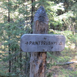
    • This trail leads to a backcountry campsite called Paintbrush #1

    • This path includes a very useful bridge across the large creek

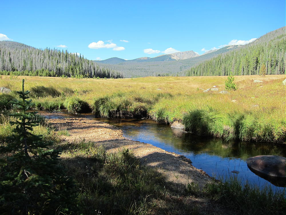
    • Follow the path east across the meadow to the forest
    • Choose a route up the big mountain

    Key Details:

    Several game trails lead up the slope, and a few contour through the forest. The easiest way to climb Patterson is to ascend to the broad saddle at 10,880 feet, northwest of the summit. A ridge route leads all the way up, starting southeast of the Paintbrush campsite path. Study a topographic map carefully before going up there – the navigation is really easy with preparation!

    The immediate goal is to find a game trail leading southeast to the ridge that climbs towards the saddle northwest of Patterson – many game trails are available on the slope. The ridge is the northern edge of the basin west of Patterson’s summit. This ridge route is the key to the climb.

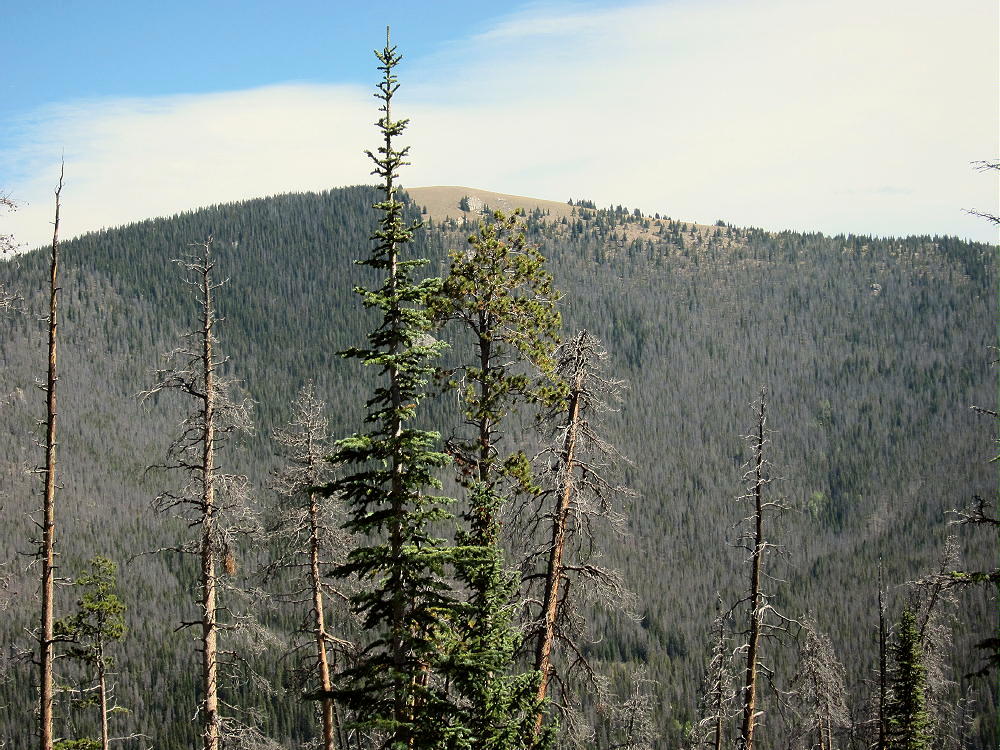
    There’s an established game trail up this ridge, all the way to the high saddle. This major game trail provides an efficient, pleasant ascent through open pine woods. It climbs east, up along the ridge, or slightly north (left) of it, all the way up the slope, for 1500 vertical feet to the saddle! This route even includes a couple of nice overlooks, with views down the Tonahutu Creek valley toward Grand Lake; Green Mountain W0C/PR-110 stands across the valley at 10313 feet. This route is as efficient as many constructed trails!

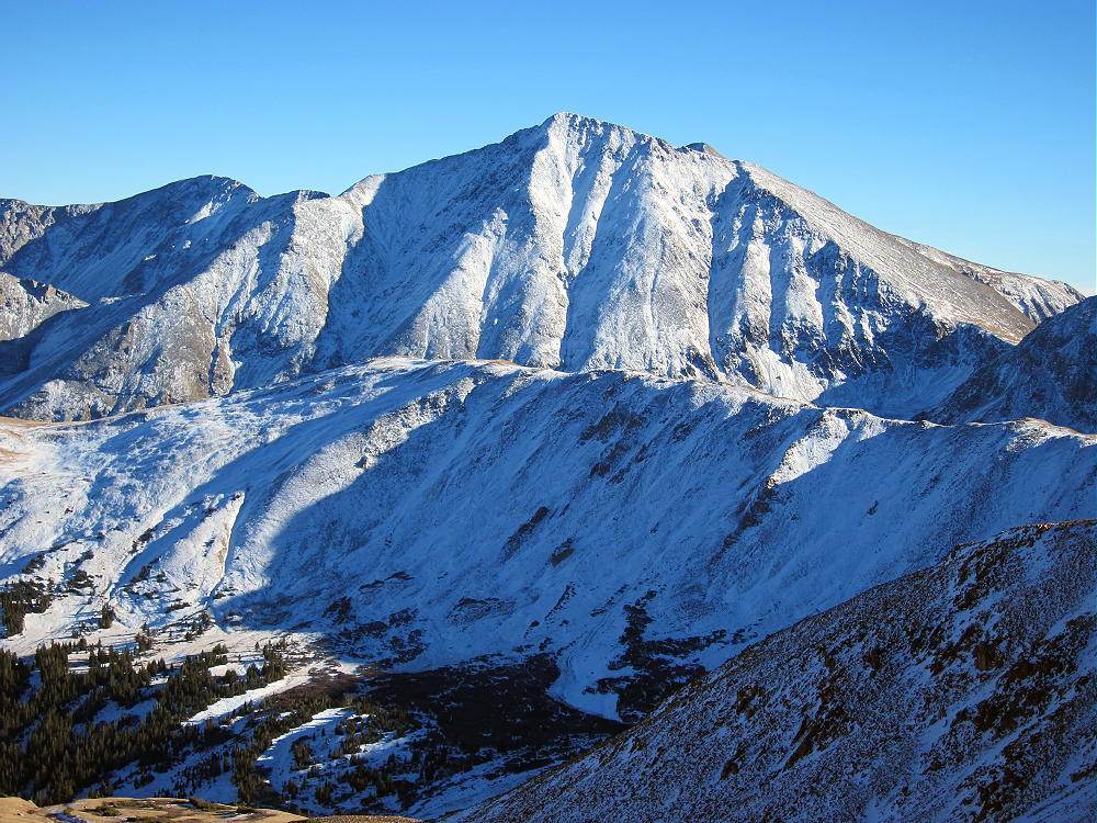
    In the image above, the ridge leading to Mount Nisa is on the left.  This provides another route to the summit of Mount Patterson.  Nisa Ridge is south of the ridge route described here.

    Plan on spending well over an hour to climb from the valley to the saddle at 10,880 feet – I did it in 1:08 on a good day. From the saddle, hike southeast up through open sub-alpine forest on the gentle northwest ridge of Patterson; it’s about ½ mile and 500 vertical feet from the saddle to the top. There are good game trails there also.

    The mountain top is a huge meadow of many acres – I was stunned when I first saw it! Wide views extend out in all directions. Chiefs Head and Mount Alice stand high behind the Divide to the east; lakes shimmer down below to the south; several high peaks along the Divide are visible to the north. The Never Summer Range extends like a wall across the western horizon.

    The actual peak is at a cairn on the west side of the meadow.

    The vast activation zone offers choices. Large trees north of the summit offer shelter from wind; smaller trees in the meadow are ideal for supporting a pole; the southern part of the meadow is wide open, with fine views and flowers in summer.

    Mount Patterson is miles from any development, so the RF noise level is very low. The summit is high, but higher mountains stand a few miles away – HF propagation is still be OK in most directions. The only VHF/UHF coverage is down the valley to the south. I was on the air for over 1-1/2 hours on the 7-10-14-18 MHz bands, CW only. The log has 34 QSO’s, including 6 amazing summit-to-summit (S2S) contacts!

    Mount Patterson offers a wilderness experience combined with a scenic SOTA activation. There are many deer, elk, and moose, and other wild animals in that area. There’s no hunting, but camping is allowed at specific backcountry sites, with a formal permit. It’s possible to camp at one of the sites below Mount Patterson, and then hike up the mountain from camp. Information on camping is available online.

    If you climb Patterson, start your drive very early; tell someone exactly where you plan to go and when you expect to return. Take the Ten Essentials. GPS is not required for this hike, if you have a detailed topographic map, a compass, and a good sense of direction. However, a GPS unit with internal topo map data is good for resolving questions about the route, keeping a record of the track, and helping to backtrack accurately.

    Mount Patterson could be combined with other SOTA peaks in the area for a dual activation, or for a group of activations while visiting the National Park:

    W0C/PR-110 Green Mountain
    W0C/PR-144 Green Ridge
    W0C/PR-076 Jackstraw Mountain
    W0C/PR-092 Gray Jay
    W0C/FR-016 Mount Ida
    W0C/FR-123 Trail Ridge
    W0C/FR-019 Sundance Mountain
    Plus many other SOTA summits…

    Mount Patterson is a SOTA Classic in every way. It offers a combination of the best characteristics of Colorado SOTA peaks:

    • A challenging, fun hike
    • Superb high-mountain scenery
    • Wilderness experience
    • Nearly ideal quiet radio site
    • Huge activation zone
    • Accessible in summer and fall
    • Summit is rarely visited by people
    • No access to vehicles

    If you go up there, tread lightly on the meadow, and please leave things just as they are…

    73

    George
    KX0R


    ATTENTION !! WARNING !! There are old mountaineers, and bold mountaineers… there are no old-bold mountaineers. Hiking and mountain climbing are potentially hazardous activities particularly in Colorado with its extreme elevations. I am not accepting responsibility for any death or injury resulting from activations based on my trip reports. Proper training, experience, and personal capability assessment is required – enjoy!
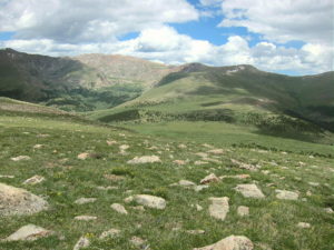
  • W0C/PR-007 (Mount Epworth) – 3610 m / 11843 ft

    W0C/PR-007
    Mount Epworth
    3610 m / 11843 ft
    First Activation
    Sep 11, 2015

    By KX0R

    Mount Epworth is a fun alpine SOTA peak less than a mile west of the Continental Divide, near Winter Park.

    Arapaho National Forest
    • Accessible summer and fall
    • Relatively easy alpine activation
    • Beautiful scenery
    • Few visitors
    • Fine HF site
    • Rocky off-trail hike up the mountain
    • Access via a rough 2WD road
    • 1.7 miles round-trip
    • 730 vertical feet, including the return trip

    Driving Directions:

    • Drive west from Denver on I-70
    • Turn northwest on Highway 40
    • Cross Berthoud Pass
    • Continue down Highway 40 to Winter Park
    • About 0.6 mile past Winter Park Resort, turn right, north, on Corona Pass Road 80.
    • This road also is called the Moffat Road.
    • Follow this rough, unpaved, 2WD road about 13 miles
    • The Moffat Road is passable in cars with enough clearance
    • Park along the road about 1 mile south of Rollins Pass
    • A small sign “Corona Lake Trail #118” marks the trail west of the road
    • This is the trailhead.

    Trail 118 leads to beautiful Corona Lake, about a mile to the north. Mount Epworth stands west across the valley from the trailhead.

    The Hike:

    • Walk down the Corona Lake Trail about 1/5 mile.
    • Look for an informal path heading down off the main trail, toward Pumphouse Lake below

    • Hike down to the north end of Pumphouse Lake
    • Cross the small outlet creek
    • Continue southwest toward Mount Epworth, and pick a route up the steep, rocky northeast slope.
    • There are some paths in the scree, but there’s no real trail up Epworth.
    • Further around the mountain to the west, an alternate route is available
    • It’s less rocky, but slightly longer.

    After about 250 vertical feet of loose rocks above the lake, the route gets much easier. The last part of the climb is over large, stable boulders. The summit is a large mass of rocks, and the pile can be climbed easily on its southeast side. There are numerous large cairns on the summit – the cairn builders certainly had a lot of energy!

    The activation zone is large and rocky. In good weather it’s pleasant, and the summit has nice views. There are no trees; a pole can be guyed or braced with rocks. It’s possible to operate right on the peak as I did; if it’s windy, set up behind rocks for shelter.

    No development is near the mountain, and the RF noise level is very low. It’s a good HF site – there are no higher peaks nearby to block the signals. Low-angle radiation is possible in most directions. Epworth is probably a poor VHF/UHF site, because it’s partly blocked to the east by the Continental Divide. There’s some coverage of Winter Park, Fraser, and the area around Granby.

    I had an enjoyable late-afternoon activation.  My logs shows 19 contacts on 30, 20, and 17M.  I was able to work EA2IF, Guru, in Spain, across the Continental Divide and the Atlantic Ocean, with my tiny 5 watt ATS-3B radio.

    Mount Epworth can be combined with nearby Skyscraper Peak W0C/FR-122 for a dual activation. Skyscraper takes more time than Epworth, so it’s probably better to activate Skyscraper first. I did this, and it worked well. The mileage total for the dual activation is about 6.9 miles, with a total vertical gain of about 1425 feet. My total time for both trips, including the short drive between the trailheads, was about 7 hours. The drive from Boulder took about 3 hours each way, so it was a 13-hour day in perfect conditions.

    Climbing and activating Mount Epworth should be reserved for a day with stable, dry weather. The Continental Divide often has dangerous lightning storms, high winds, hail, snow any month, fog & clouds, etc.

    73

    George
    KX0R


    ATTENTION !! WARNING !! There are old mountaineers, and bold mountaineers… there are no old-bold mountaineers. Hiking and mountain climbing are potentially hazardous activities particularly in Colorado with its extreme elevations. I am not accepting responsibility for any death or injury resulting from activations based on my trip reports. Proper training, experience, and personal capability assessment is required – enjoy!
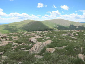
  • W0C/FR-013 (Mount Audubon) – 4030 m / 13223 ft

    W0C/FR-013
    Mount Audubon
    4030 m / 13223 ft
    July 12, 2015
    Sep 1, 2016

    By KX0R

    Mount Audubon is a popular alpine summit in the Indian Peaks Wilderness west of Boulder, Colorado.

    Key points:

    Brainard Lake Recreation Area
    Roosevelt National Forest
    • Fun trail all the way to the top
    • Spectacular views
    • Fine radio site
    • Busy trailhead
    • ~ 4 miles one-way
    • ~ 2800 vertical feet
    • SOTA Classic!

    Driving Directions:

    • Drive west from Boulder via Highway 119 to Nederland.
    • Turn north on Highway 72, the Peak-to-Peak Highway.
    • Drive to the turn-off to Ward, but don’t turn yet.
    • Continue on Highway 72 about 100 yards – turn west on the marked paved road FR-112 to the Indian Peaks Wilderness.
    • Continue about 4 miles to the Brainard Lake Recreation Area.

    Useful details:

    The route to Audubon is in the Indian Peaks Wilderness; this is a protected area with special rules. There’s a charge for entry via the Brainard Lake Road. It’s essential to start early, especially on a summer weekend; the area is very popular, and parking is limited.

    Early in the morning it may be possible to drive to the Mitchell Lake Trailhead, and to park there – otherwise, parking may be available near Brainard Lake. Parking at Brainard Lake adds about 3/4 mile to the hike – each direction. At the Mitchell Lake Trailhead, be careful to start out on the Mount Audubon Trail – not the Mitchell Lake Trail.

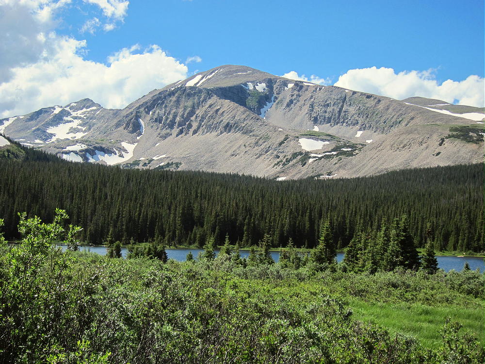
    Mount Audubon is visible from Brainard Lake – it’s the huge 13-er to the northwest.

    Mount Audubon from Brainard Lake

    One of the most accessible high peaks in the northern Front Range, Audubon is climbed often. The trail is worn and rocky from decades of heavy use.

    The Hike:

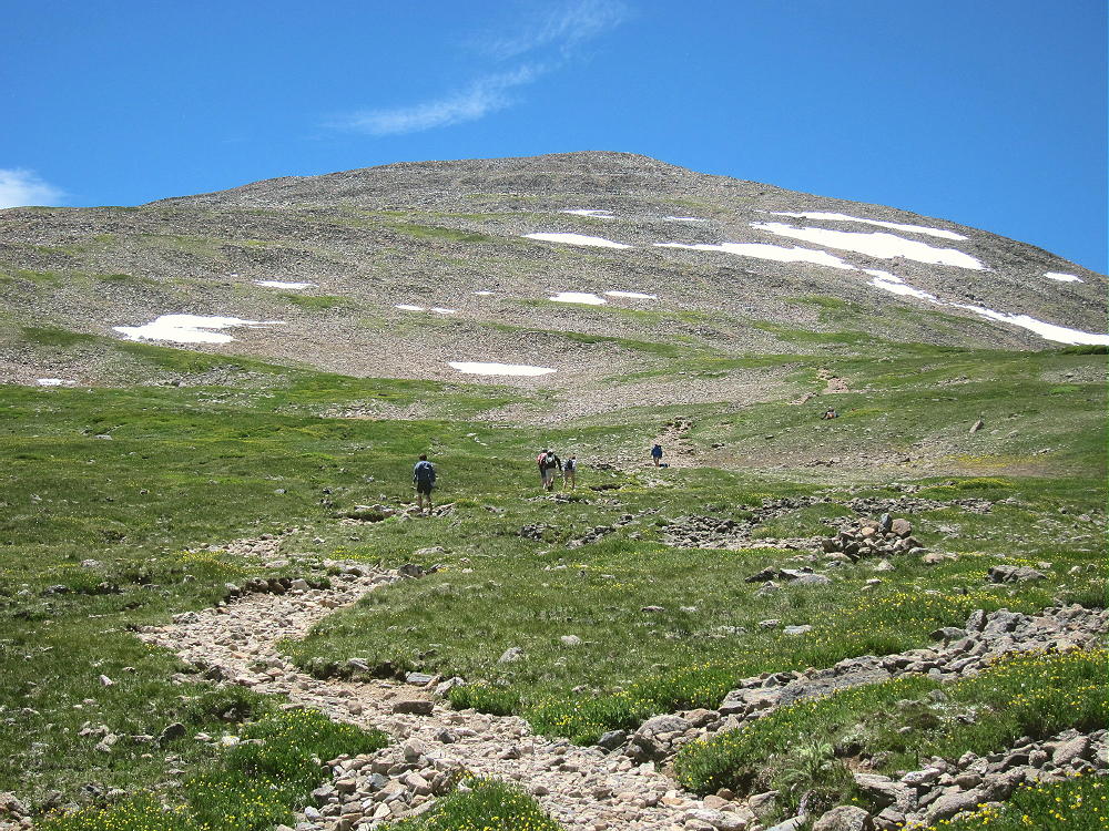
    • Start up the Mount Audubon Trail
    • The route leads north through the forest and up to timberline southeast of the summit on a good trail
    • The trail continues north through an open alpine area to a split – the left (west) fork leads to the peak.
    • The route ascends across the open tundra, eventually reaching a broad saddle northeast of the peak.
    • The last half-mile is up through large rocks, where multiple paths climb to the large summit.

    There are fine views from the trail and the peak, snow lingers into the summer, and alpine wildflowers cover the high slopes – the popularity of this mountain is justified!

    Mount Audubon Trail
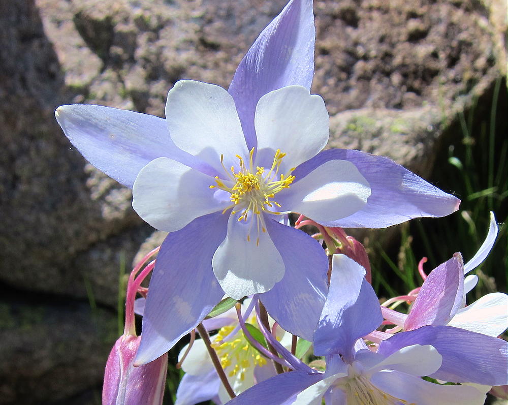
    Mount Audubon Columbines

    Activation Details:

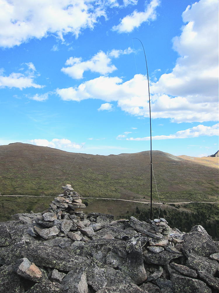
    Mount Audubon is a friendly place in good weather. Although it was sunny and dry when I was there, the wind was so roaring so strong that I wasn’t sure if I could do my activation. Although the spacious summit is almost flat, I couldn’t set up on the windy top; I searched for a spot with minimal wind. I found my place on the east side, about 30 feet below the summit, among large boulders. The wind was roaring and hissing across the edge of the peak above, but I was able to set up my pole in the rocks and guy it securely. My spot was well south of the trail, off the routes used by other hikers.

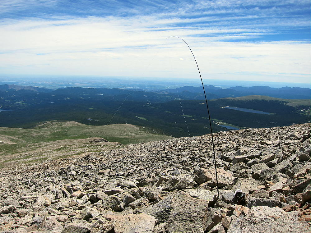
    Mount Audubon Activation

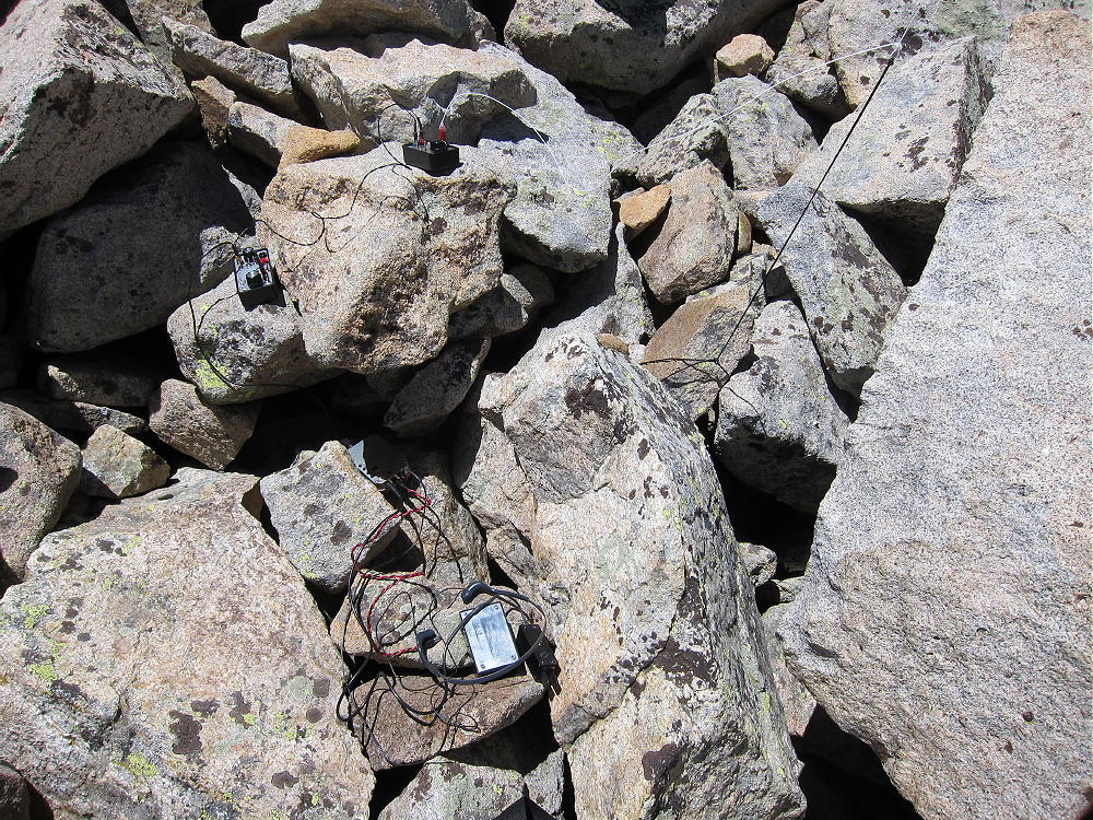
    Once the pole and wire were up and dancing, there were no more problems getting on the air and starting the activation. Setting up in a rock-pile is sometimes the only worthwhile option when winds are extreme; considerable care is required to avoid dropping small, critical items down into holes among the large rocks!

    Mount Audubon Activation – Radio Gear in the Rocks

    Mount Audubon stands prominently east of the Continental Divide; the summit is thousands of feet above the lower mountains and plains below. Audubon has a wide-open view of the populated areas to the east; it’s surely an excellent VHF/UHF site. Other high mountains are north, west, and south of Audubon, but they’re not high enough to adversely affect propagation of HF signals. This is an excellent HF site; the noise level is low, because little development is near the peak. On a day when many people are on the summit, it’s probably a good idea to set up HF gear out of the way, slightly down from the popular top.

    Despite the incredible wind, I had a fine SOTA activation on Audubon, with 31 contacts on 10-14-18-21 MHz CW. The session lasted about 70 minutes, and I was delighted at my results!

    After I took down the pole and put away my gear, I climbed up on top to take some pictures; it was difficult to stand on the west side of the summit, where the wind was strongest. A few other people came and went, but not many stayed more than a few minutes!

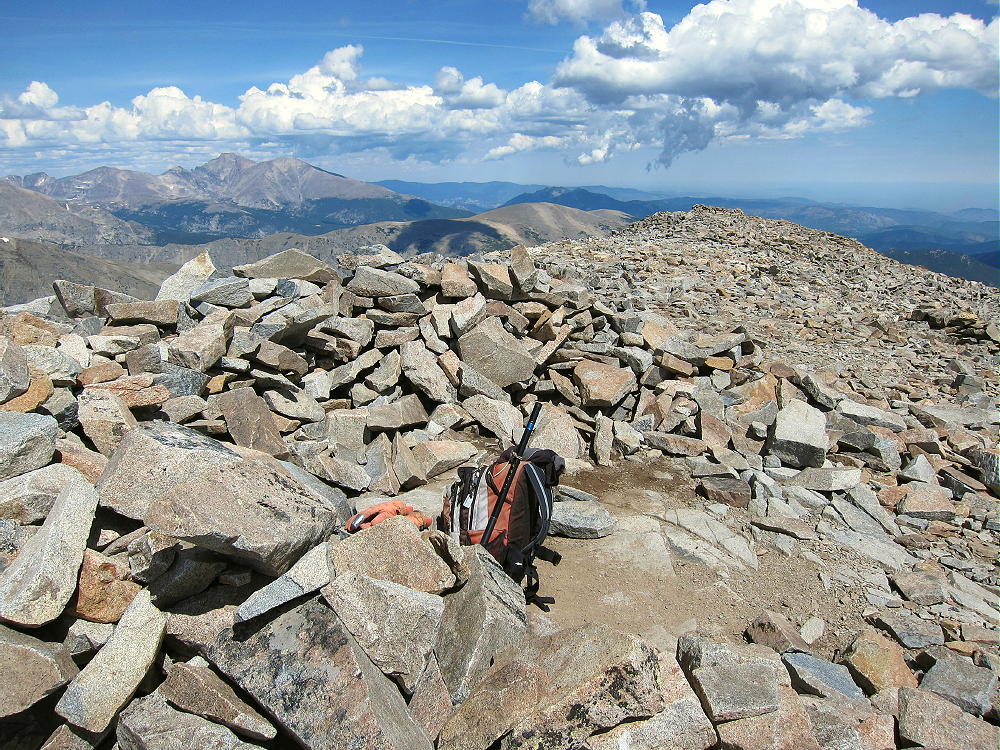
    Mount Audubon Summit Wind Shelter

    Dry windy weather is generally safer than storms and lightning. Mount Audubon is one of the highest mountains in its area, so it often has cumulus clouds and dangerous lightning. It should be avoided if storms are in the forecast, or if dark-bottomed clouds are forming in the area. An early start is essential to minimize the risk of bad weather in spring and summer.

    Mount Audubon is a SOTA Classic:

    • Spectacular wilderness location
    • Beautiful alpine hike up an accessible trail
    • Significant vertical gain
    • Wonderful setting with high peaks all around
    • Great HF/VHF/UHF radio site

    Mount Audubon View North to Longs Peak

    There are numerous other high SOTA peaks within sight of Mount Audubon. However, most of these summits require significant hikes, comparable to the trip up Audubon. There are few possibilities for a reasonable dual activation, except for a few lower mountains located near roads lower down. These lower possibilities include:

    W0C/FR-061 Taylor Mountain 2779m / 9134ft 4 points
    W0C/FR-174 Bald Mountain 2783m / 9147ft 4 points

    Camping offers a way to activate multiple high summits in the area. Numerous forest campgrounds and campsites are within a few miles of Mount Audubon; many of these campgrounds are popular, so reservations may be required. Roosevelt National Forest has a few places where dispersed camping is allowed. Backpack camping in the Indian Peaks Wilderness is a possibility, but a permit is required, and special rules apply.

    Mount Audubon is a Classic SOTA Peak – a real alpine jewel on the right day!

    73

    George Carey Fuller
    KX0R

    Mount Audubon – Upper Coney Lake
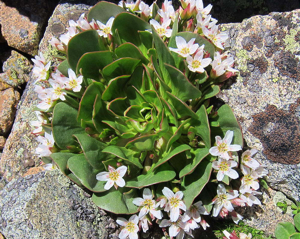
    Mount Audubon – Alpine Spring Beauty

    ATTENTION !! WARNING !! There are old mountaineers, and bold mountaineers… there are no old-bold mountaineers. Hiking and mountain climbing are potentially hazardous activities particularly in Colorado with its extreme elevations. I am not accepting responsibility for any death or injury resulting from activations based on my trip reports. Proper training, experience, and personal capability assessment is required – enjoy!
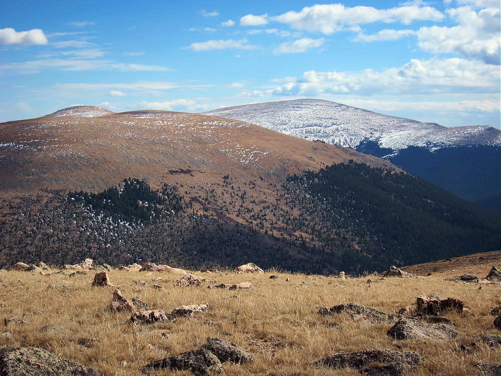
  • WØC/FR-Ø64 (West Crosier Mountain) – 2749 m / 9020 ft

    W0C/FR-064
    West Crosier Mountain
    2749 m / 9020 ft

    W0C/FR-057
    Crosier Mountain
    2819 m / 9250 ft

    Sep 6, 2014

    by KX0R

    Please see K0MOS’s excellent report on Crosier Mountain for details on the trailheads, access, etc. Much of my report here deals with the dual activation of both summits.

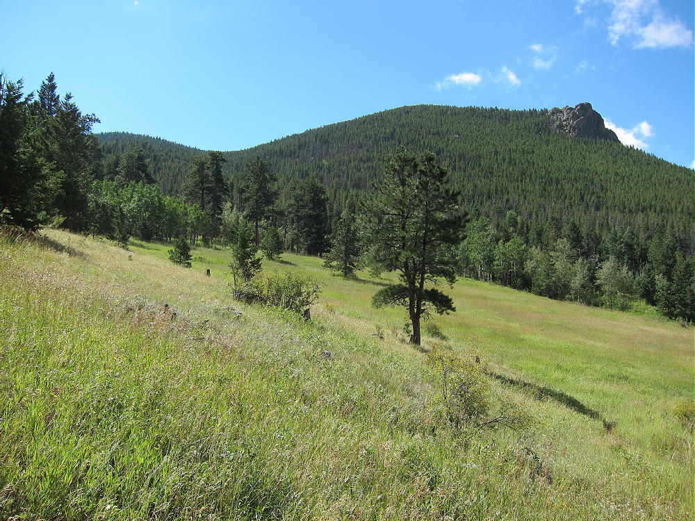
    Crosier and West Crosier Mountains are twin summits located several miles north of Estes Park, near Glen Haven. With an early start and good weather, both mountains can be climbed and activated in one expedition. These two peaks make a good 8-point SOTA day.

    Crosier Mountain View West to Mummy Peak
    Crosier Mountain View – West Crosier and Mummy Peak

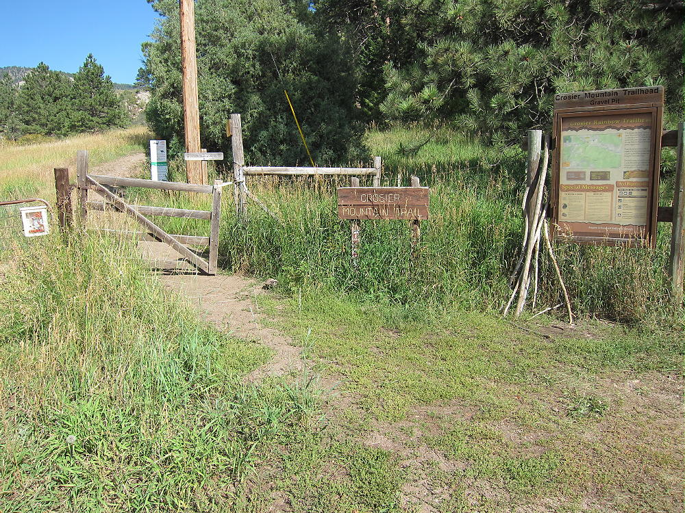
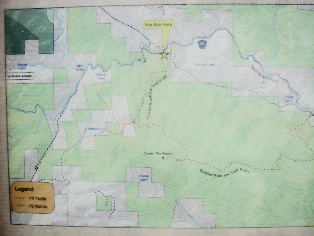
    There are three public trails to Crosier Mountain. These trails, and most roads and trails nearby, were closed after the 2013 floods. I chose the Crosier Rainbow Trail 981, because I had information that it was open, and that the parking was OK. Good parking is available at the “gravel pit” trailhead along road 43, on the south side of the road, about 1.4 miles down the creek from Glen Haven.  There are signs at the start of the trail.

    Rainbow Trail-head and Signs near Gravel-Pit
    Rainbow Trail-head and Signs near Gravel-Pit

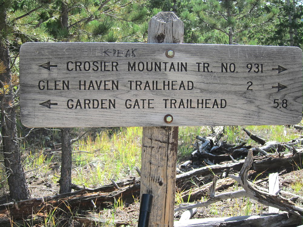
    Take plenty of water. Climb up moderately steep, efficient trail 918 about 2 miles to a T-junction with Trail 931.

    Sign at T-Junction of Trails 918 and 931
    Sign at T-Junction of Trails 918 and 931

    Turn southeast at the signed trail junction, and continue about a mile to the signed junction with the Summit Trail. Turn right, west, and climb about ½ mile up the southeast side of the mountain. The trail is pretty good. The summit is large, with some nice rocks right at the peak.

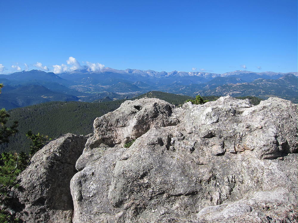
    Crosier Summit and View West to RMNP
    Crosier Summit and View West to RMNP

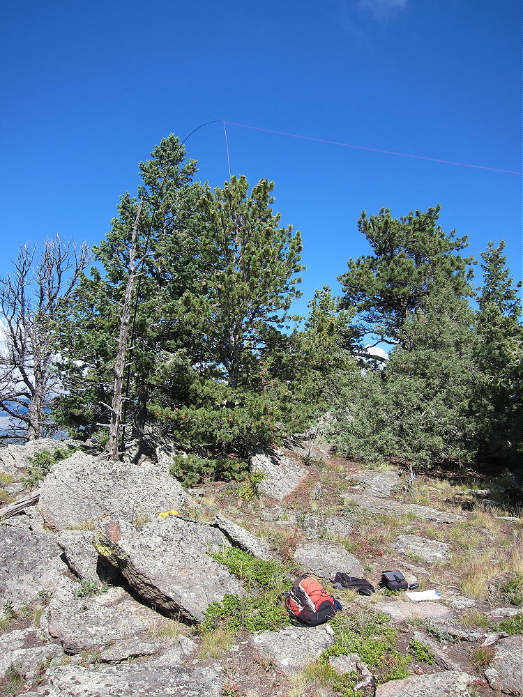
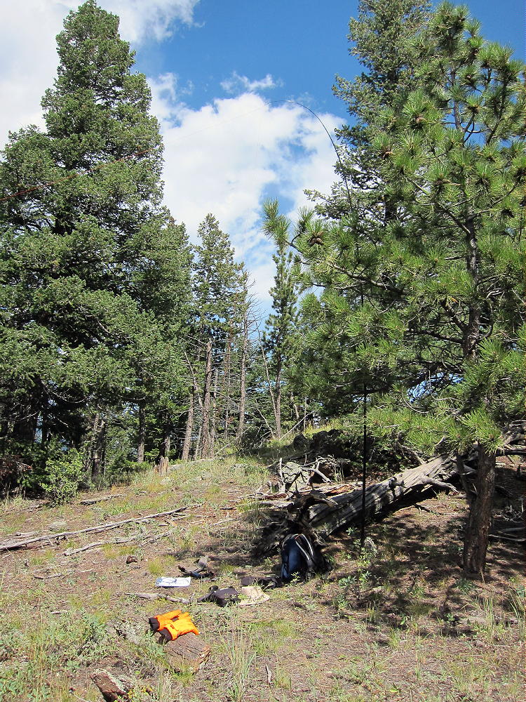
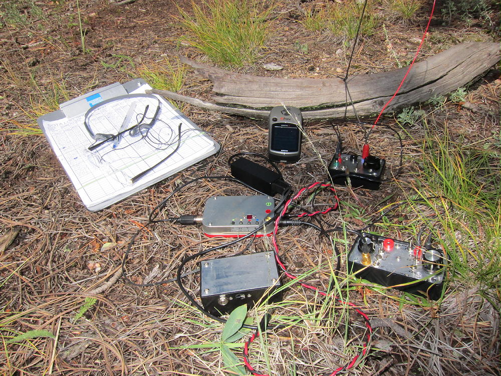
    I set up about 100 feet southeast of the peak, at a convenient open spot with nice views. I ran my 67 foot end-fed wire southeast across the large meadow, and tied it off with a long Dacron string to an elevated tree on the far side. This was an excellent antenna!

    Crosier Mountain Activation Site
    Crosier Mountain Activation Site

    A few people climb Crosier. There is private space in the woods on the northwest side of the summit. The southwest side looks down over 1000 vertical feet. There are nice views, and the mountain top is wonderful on a good day!

    To connect with West Crosier, it’s tempting to descend the west ridge and find a way directly down to the saddle between the two mountains. There are cliffs and huge rocks on the west side of Crosier, and it’s steep. There probably is a workable route, but it may require dropping down steep, rocky gullies between the rock formations. There is no way to find it quickly from above. If you go too far north, there is a large, dense lodge-pole forest on the north and northwest side of Crosier that is surely Hell. It extends around to the northeast side and even along the trail. It looks difficult to penetrate.

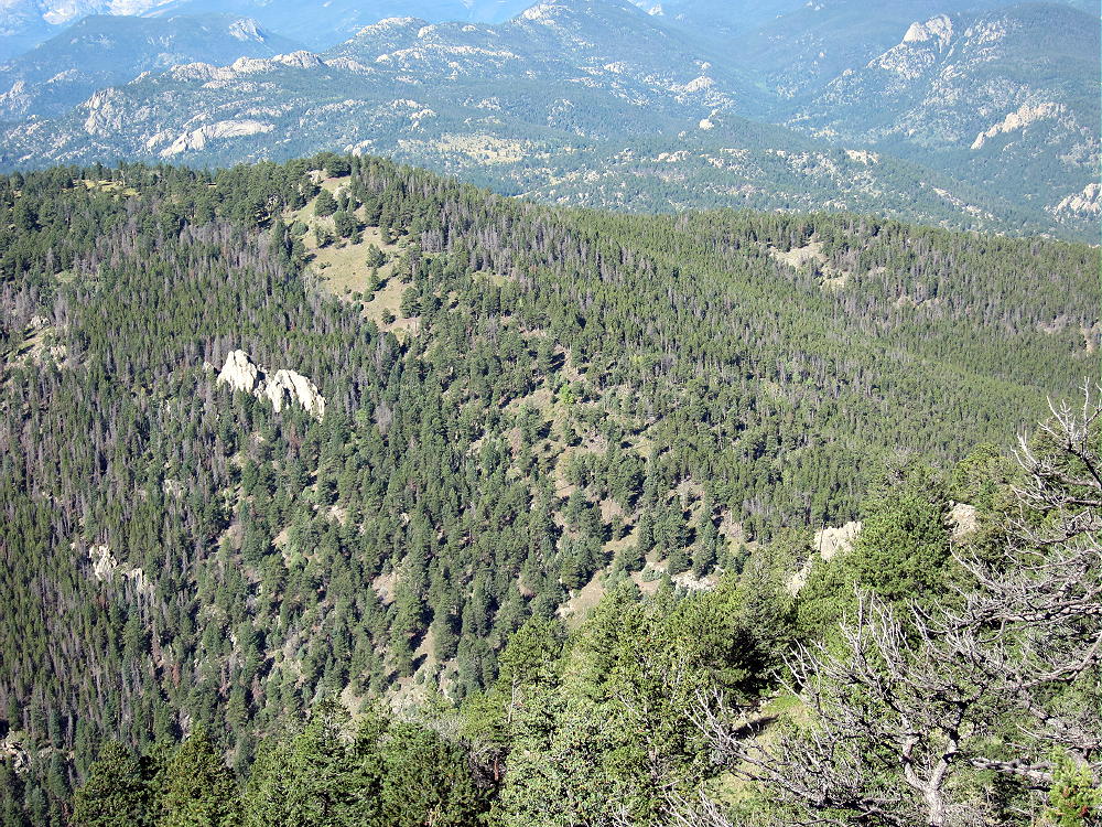
    Crosier Mountain from West Crosier
    West Side of Crosier Mountain from West Crosier Mountain

    I decided to take the “better safe than sorry” approach to West Crosier.

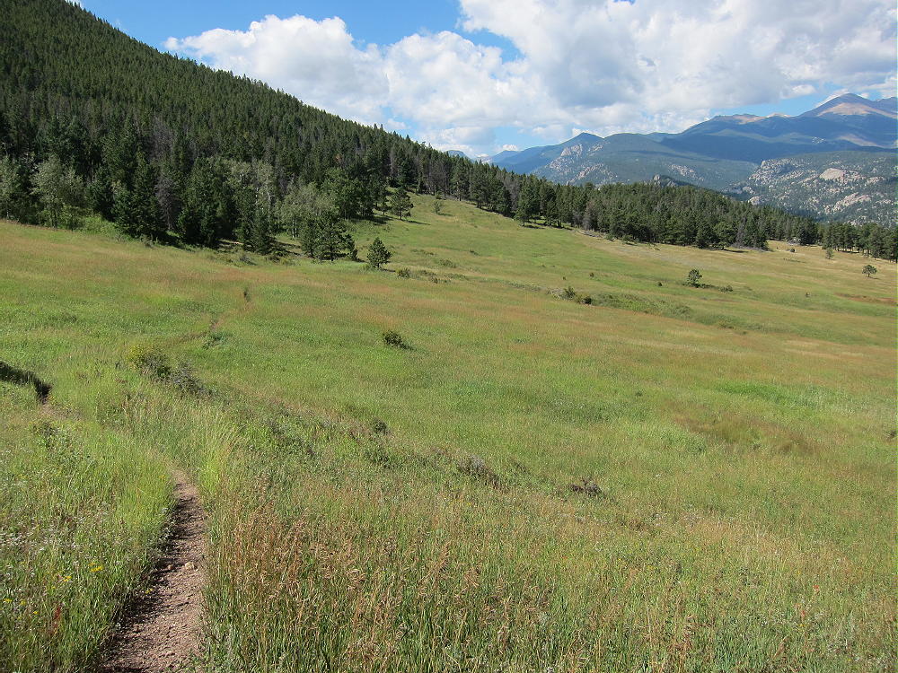
    I followed the summit trail back down to the junction with the main trail 931, turned northwest, and followed 931 back to the signed junction with Rainbow Trail 981, and then I continued down 931 about ¼ mile to Piper Meadows. This is a huge, beautiful meadow with open views to the northwest.

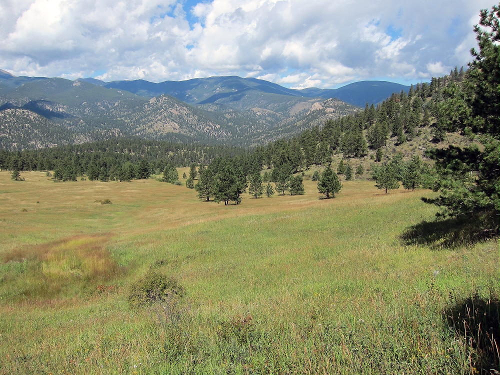
    Piper Meadows View North
    Piper Meadows View North

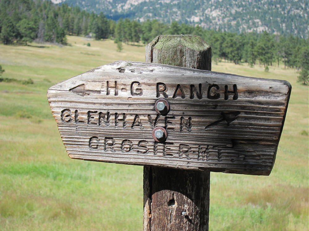
    The trail through the Meadows leads down to Glen Haven. At Piper Meadows there is a sign for the H BAR G Ranch, which is about 1-1/2 miles to the southwest.

    Follow the small trail southwest toward the H BAR G Ranch – walk only about 100 yards past the sign; then turn southeast, uphill, and climb up through the meadow and into the woods. Find the remains of an old abandoned road that ascends southeast, all the way to the Crosier – West Crosier Saddle. This road follows a small creek-gully that descends from the Saddle. The road is just east of the gully. Remember that you want to go to the Saddle, and you’ll have no trouble finding this obvious road.

    Old Secret Road to West Crosier Saddle
    Old Secret Road to West Crosier Saddle

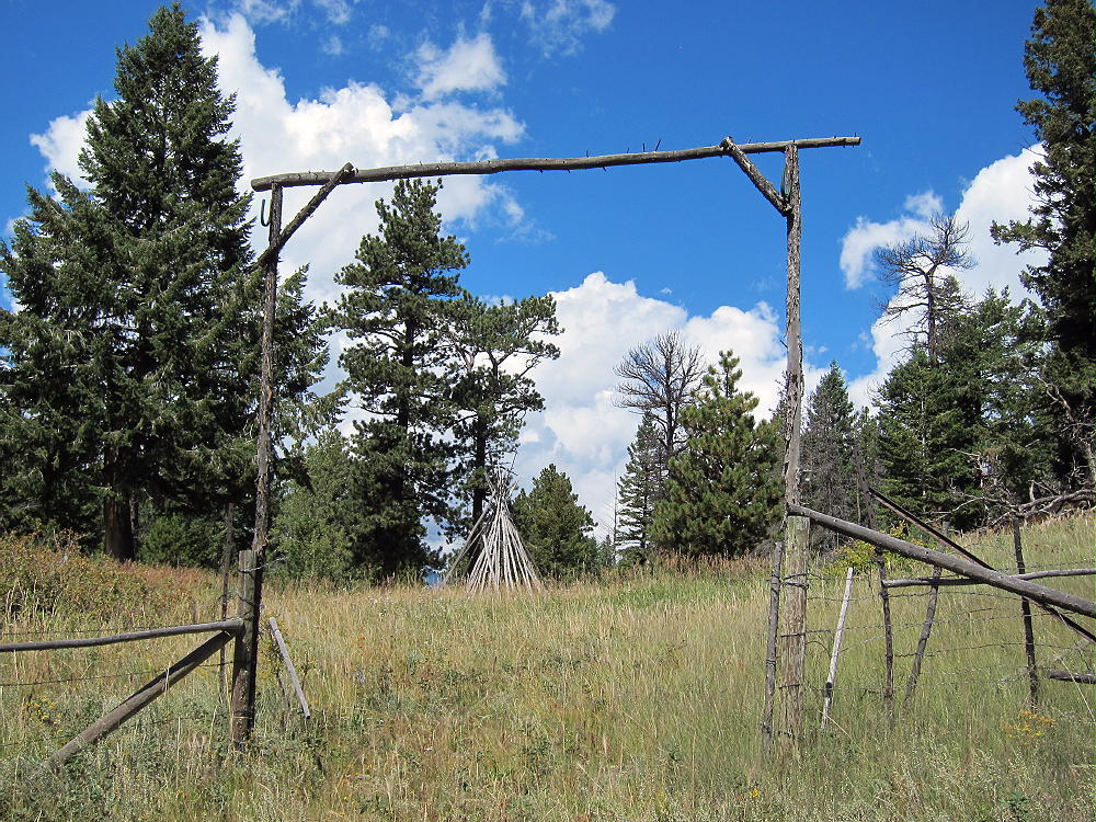
    It’s an easy hike up to the Saddle. The road ends there at a teepee and fence, but nothing is posted or signed. This is beautiful country!

    Gateway at Crosier-West Crosier Saddle
    Gateway at Crosier-West Crosier Saddle

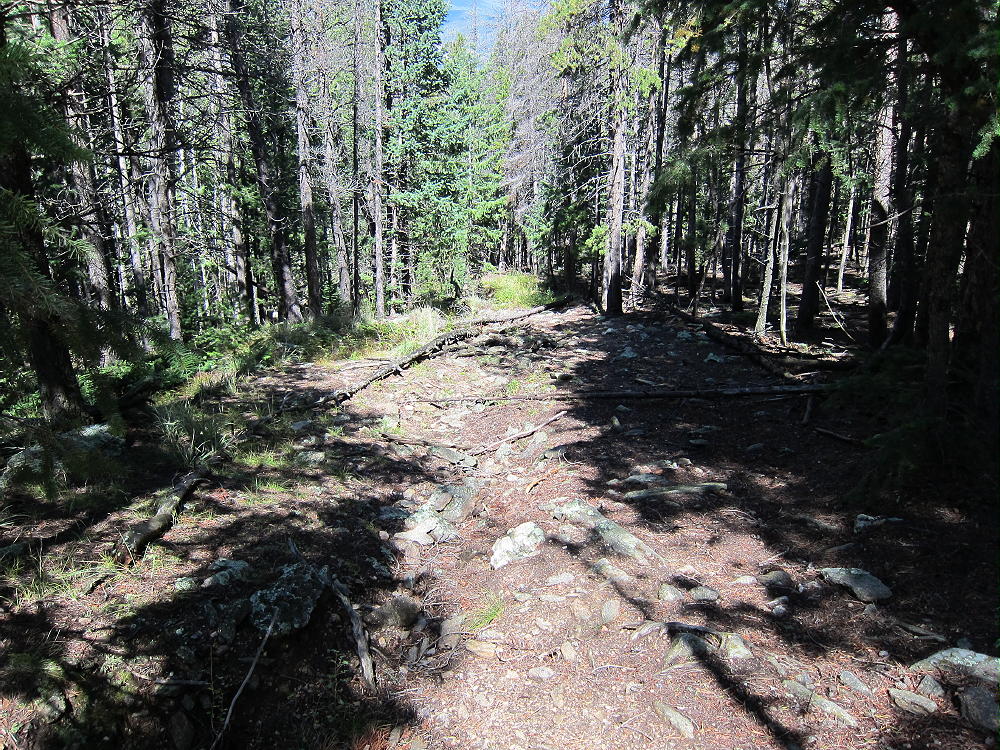
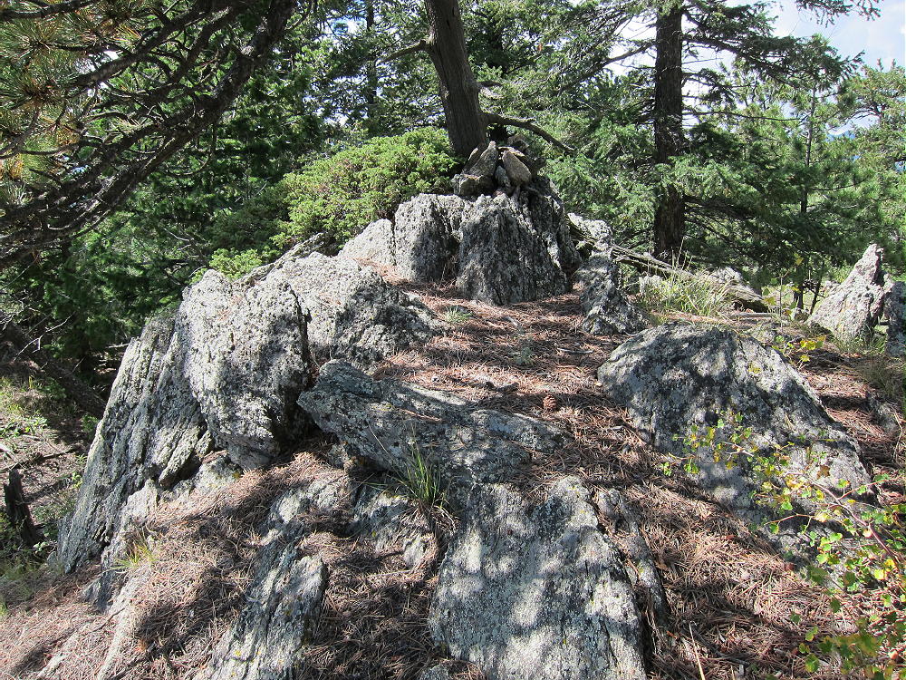
    Follow the ridge southwest from the saddle – look for the remains of a barb-wire fence – there is a decent trail that leads up southwest, on the southeast side of the ridge, right along the old fence line. It’s still used occasionally by horses. Follow this trail about 1/3 mile, climbing about 300 vertical feet, and then head west, directly up toward the peak. If you go to an obvious fence corner along the trail, head up from there – you’ll climb right to the top. There are several false summits to the southwest – the real peak is the northeast knob on the big hill.

    West Crosier Summit from Crosier Summit
    West Crosier Summit from Crosier Summit

    It takes only 1-1/2 to 2 hours to hike from Crosier summit to West Crosier Summit via the route detailed here. This may be better than the short-cut down the tricky, steep west side of Crosier. No matter how you go, aim for the saddle between the two peaks. Since there’s a trail up the southeast side of the ridge from the saddle, that’s where you need to be. The summits of both peaks are in the National Forest, and the spots that touch private land are not posted or otherwise marked. Very few people visit West Crosier, but it’s a perfect SOTA peak with nice big trees on top, including a large ponderosa pine right on the summit. There are rocks for shelter from wind, sunny spots, and it has just the right amount of open space for running an antenna without trouble from too many trees. The view of Crosier is impressive. This summit delivers a private, pleasant activation!

    Go back to the Rainbow Trail 981 the same way you came to West Crosier. Go back up trail 931 to the junction with 981, and head back down to the trailhead. The total distance for doing both peaks is about 10.5 miles, with about 3400 vertical feet of total ascent. With good weather and enough water, activating both summits is no problem. Only a few hundred feet of easy off-trail “bush whacking” are required, thanks to the unmarked routes described here. The visit to Piper Meadows is one of the best parts of the hike, and it would be a shame to miss it!

    It’s possible to do this trip more efficiently from Glen Haven via Trail 931, if there is access to the trailhead with parking. This trail was closed after the 2013 flood disaster, but perhaps it has been re-opened. It’s slightly easier and shorter than the Rainbow Trail route.

    Here’s the GPS Track PDF Image for both Crosier summits:

    Crosier & West Crosier SOTA’s 9-6-2014

    73

    George Carey Fuller
    KX0R


    ATTENTION !! WARNING !! There are old mountaineers, and bold mountaineers… there are no old-bold mountaineers. Hiking and mountain climbing are potentially hazardous activities particularly in Colorado with its extreme elevations. I am not accepting responsibility for any death or injury resulting from activations based on my trip reports. Proper training, experience, and personal capability assessment is required – enjoy!
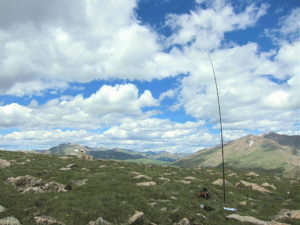
  • WØC/FR-ØØ2 (Grays Pk.) – 4341 m / 14270 ft and WØC/PR-Ø13 (Torreys Pk.) – 4340 M / 14267 ft

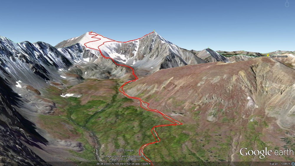
    I picked the perfect early fall day to activate Grays Pk. (WØC/FR-ØØ2) and Torreys Pk. (WØC/PR-Ø13). There was no cloud in the sky all day long to threaten the activations. The two 14ers, which can easily be reached from Denver, are separated by only about 0.7 mi / 1.1 km and are commonly climbed together. Besides the scarcity of oxygen they do not pose any challenges. A well established and easy to follow trail leads up from the parking lot through Stevens Gulch all the way up to the summits. Pick either one to start with but in my opinion you are better off climbing Grays Pk first (meaning it is easier). Both peaks can be climbed all year round. To assist a winter climb, they have huge stone cairns along the way. If you are familiar with the French comic book series Astérix le Gaulois, the cairns have the size and form of Obélix. Or maybe my brain just played tricks on me, lacking oxygen.

    Grays/Torrey – View up the valley

    Trailhead: 11300 ft/ 2565 m
    Summit:   14270 ft / 4341 m (Grays) – 14267 ft / 4340 m (Torreys)
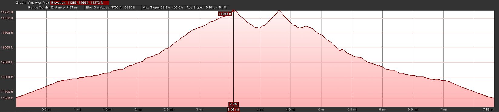
    Elev. gain: 3731 ft / 1137 m
    Roundtrip: 7.8   mi / 12.6 km

    Compare this summit with my other activated summits

    How to get there:
    As mentioned, access to Grays/Torreys is rather easy coming from Denver. Follow I70 West, take exit Bakerville (#221) and turn left just after the ramp. This is the winter TH (FSR  189). Follow the dirt road for about 3 miles to the parking lot at the TH. Make sure to check the status off the dirt road if you are driving a ‘normal’ car. It’s kind of rough but my Outback made it without problems. Just take it slow.

    Parking/Trailhead

    View Larger Map

    Red Tape:
    – Parking lots fill up quickly, specifically on week-ends.
    – Rough road

    The Ascent:

    Grays/Torreys – Elevation Profile

    One of the best resources to check the status of the trail, trail-head etc. is the 14ers.com Website. Check the latest trip reports and photos before you leave.
    As already mentioned the trail is easy to find and follow. I went up Grays Pk. first. Since I left my QTH at 3:30 AM, I arrived early at the TH and pulled into an almost empty parking lot at 5:40. It was still pitch dark and below freezing, there was no wind or cloud in the sky. I used my headlamp for the first minutes to cross the bridge and get on my way. On my way up I passed two groups of hikers and finally arrived on the summit at 8:45 AM. A group of Mountain goats welcomed me on the summit – but kept a safe distance, not like the one on Mt. Evans.

    The Summit:

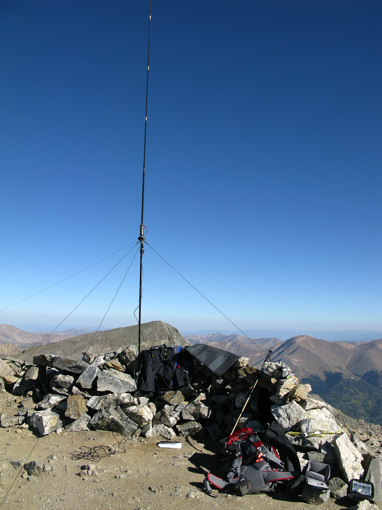
    Grays Pk. – My Shack

    Arriving at the summit of Grays Pk (North Americas highest elevation in the Continental Divide) I setup my shack in one of the two stone shelters on the summit. A group of six hikers were having a good time in the other one. I setup and tuned the antenna for 20m. Going through the frequencies I heard special event station W6P calling CQ on 14.285 and I got my first contact within minutes of arriving on the summit – an excellent start. Just over 30 minutes later I had no more takers to my calls and started to pack up my stuff to move on to the next summit. By then, I had a lot of interested people surrounding me and enough time to answer all the questions. The most asked question was: “How far does your signal go?” Most were amazed to hear all the states I just contacted with just 5W. And it is amazing thinking about it… one just stops thinking about it after doing it for 14 months.

    The route over to Torreys Pk. is again easy to find, even without the people caravan. You loose about 600 ft ASL before the steep ascent to Torreys Pk. When I arrived, the summit was very crowded and I could not find a safe location to setup the antenna. I opted for a spot about 10 ft below the summit to make sure nobody trips over my guy-lines. As usual during the HF setup I called CQ on 2m, hoping to make some local contacts but my calls were not returned. I definitely had better luck on 20m. The most unusual contact I had up there (or at all) was KB5FJN/Bill. We exchanged our signal reports (both 55) and our QTH… he was sitting on Grays Pk., the summit I just activated an hour ago just 0.7 miles north of me. Too bad I did not bring my binoculars… I sure could have spotted him up there.

    The Descent:
    The climb down was never ending , or at least it felt that way. I waited for Bill/KB5FJN on the saddle between Gray Pt. and Torreys Pk., trying to meet him in person – no luck. I could not spot him among all the people coming from Grays. I pressed on after about 15 minutes to avoid some of the heavy traffic on I70 going back to Denver on a Sunday afternoon. I am glad I did, turns out Bill never made it towards Torreys Pk. Driving back down slowly to I70 I was able to enjoy the yellow/golden Aspens glowing in the afternoon sun along the road – fall certainly arrived in Colorado.

    Some video impressions:

    If you would like to leave questions or comments, please do so through Youtube.


    ATTENTION !! WARNING !! There are old mountaineers, and bold mountaineers… there are no old-bold mountaineers. Hiking and mountain climbing are potentially hazardous activities particularly in Colorado with its extreme elevations. I am not accepting responsibility for any death or injury resulting from activations based on my trip reports. Proper training, experience, and personal capability assessment is required – enjoy!