


W0C/FR-015
Mount Jasper
3931 m / 12923 ft
First Activation Sep 27, 2014
By KX0R
Mount Jasper is a challenging, potentially fun summit in the Indian Peaks Wilderness, high on the Divide, directly west of Boulder, Colorado. This is a wild summit with several ascent routes, and you will earn all of your 8 SOTA points if you manage to activate Jasper! I tried to activate it in 2013, and I made it to the top – but the weather looked tricky, so I descended without activating. This year I waited until a perfect day came along in late September, and I totally enjoyed activating this nice peak for the first time.
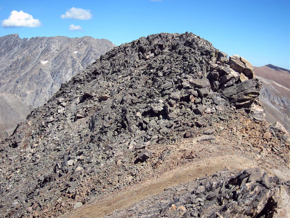
Jasper First Activation South Side
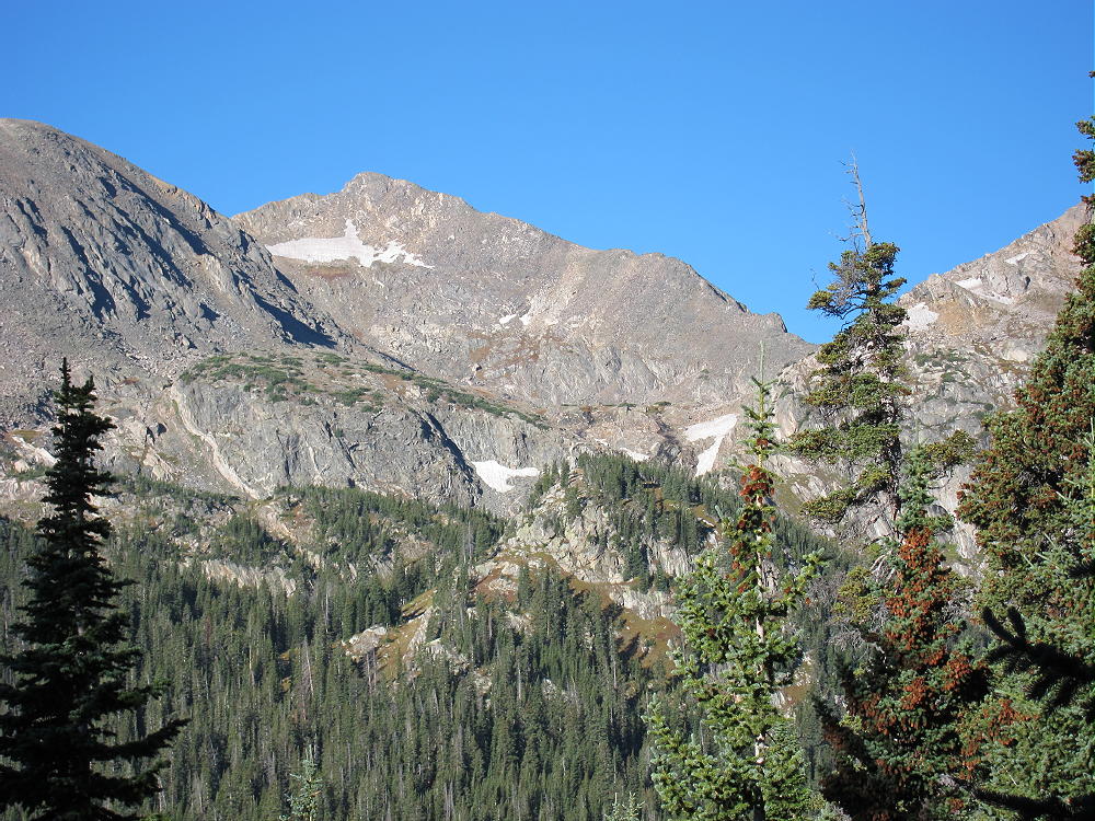
There are some resources online with climbers’ trip reports, and Jasper is detailed by Gerry Roach in his book on the Indian Peaks. Study topo maps and climbing info before attempting this peak. There are no marked trails, only paths used by climbers; sharp navigation and good off-trail hiking skills are critical. In particular there are only a few good descent routes leading down to the east. Your ascent may take longer than you expect. I have climbed Jasper several times by different routes over the years, so I knew what to expect. It’s only about 8.5 miles round trip, with about 2800 vertical feet of gain, but much of the route is in the rocks.
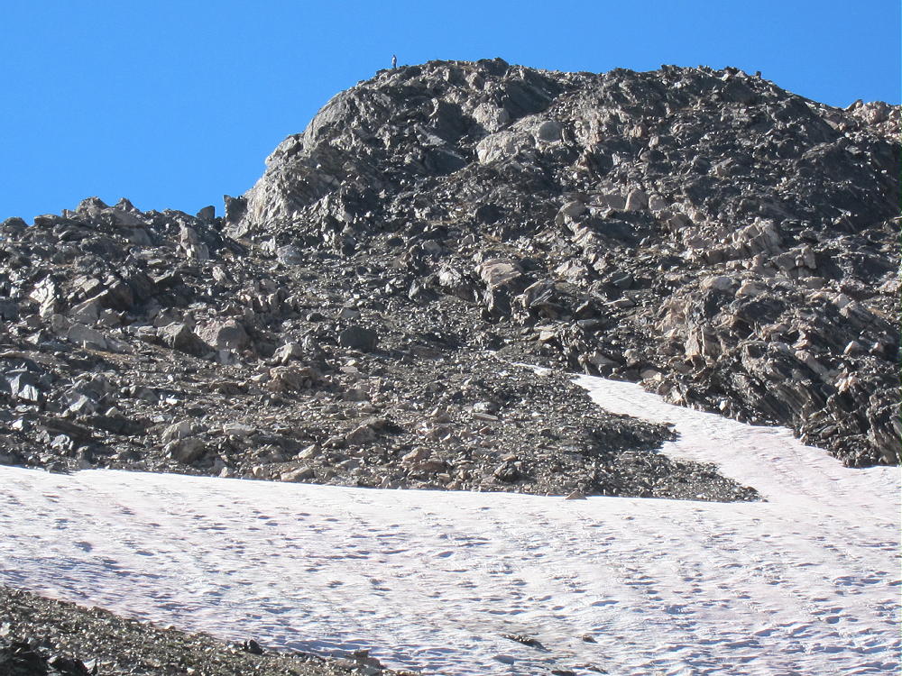
Man on Jasper Sub-Peak
The standard access is from the Fourth of July Trailhead, located about 7 miles up rough dirt road 111 west of the town of Eldora (not Lake Eldora) – several miles west of Nederland. On busy weekends the parking spaces fill quickly. Start up the Arapaho Pass Trail, and turn left at the sign for Diamond Lake.
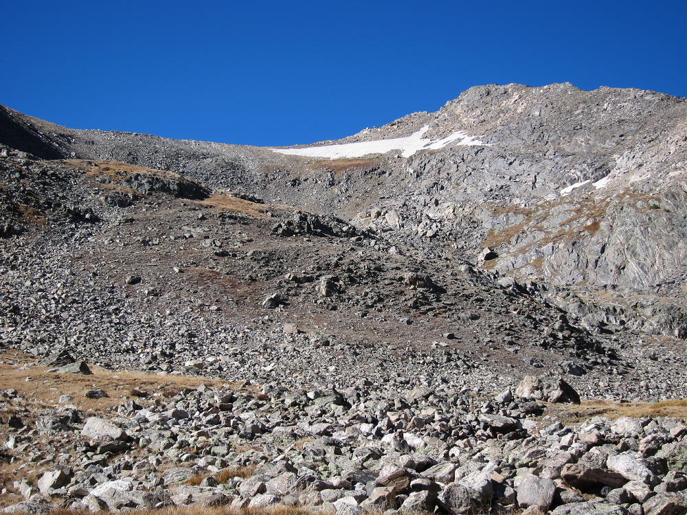
Jasper Route from Arapaho Pass Trail
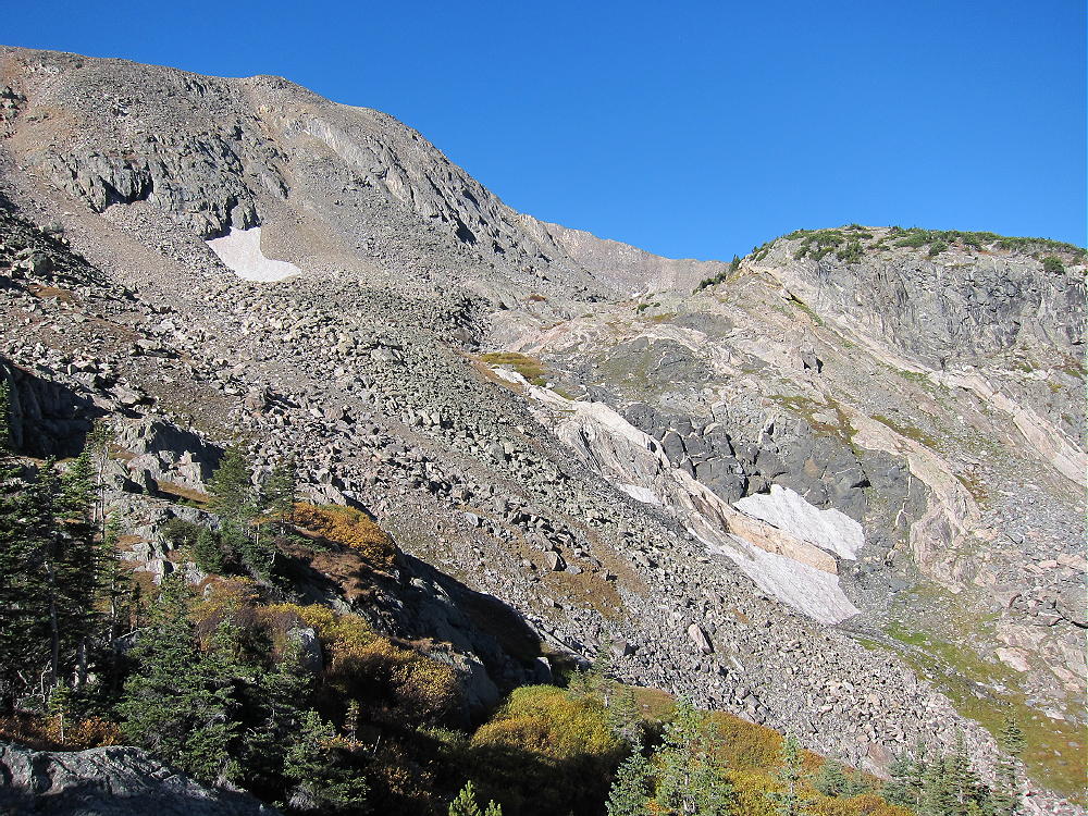
Hike an additional 1-1/2 miles, until the route descends and crosses the main creek down in the valley. Cross the creek on a log bridge near a waterfall, leave the Diamond Lake trail, and head up the south side of the creek on a small path. Walk about 100 yards and then hike southwest on an unmarked, spotty trail up through the woods. Try to find and use game trails that run through the sub-alpine forest wilderness. Travel up the steep slopes to treeline, and then climb up several hundred vertical feet into a large cirque – stay on the south side as you head up toward this cirque.
Route to Deep Lake and Jasper
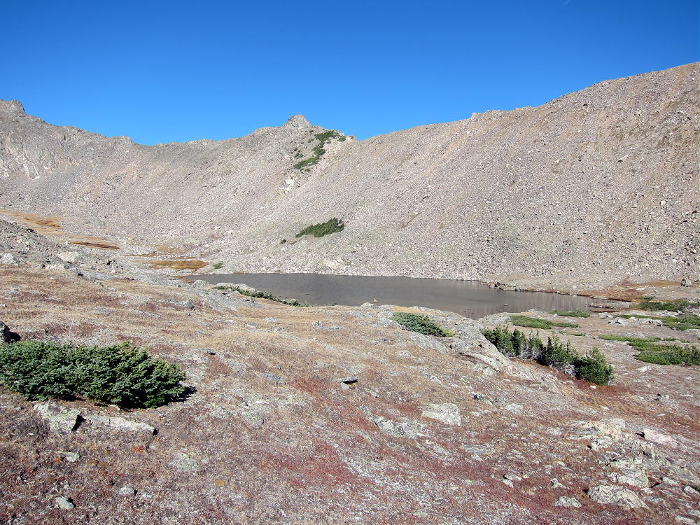
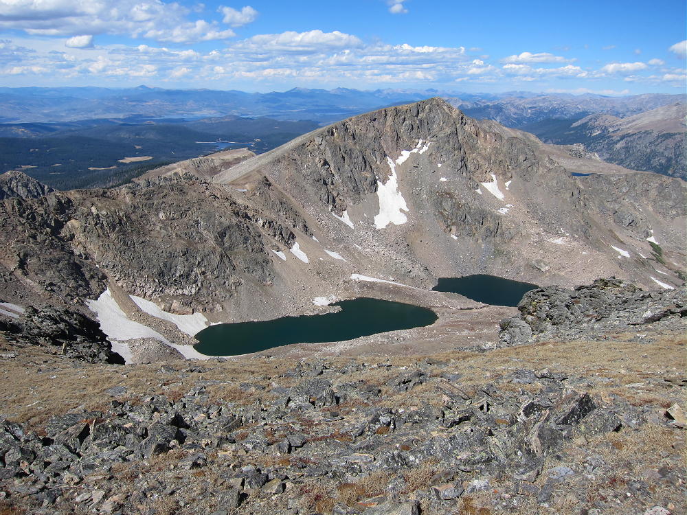
No rock-climbing is required. This route is easiest in late summer – it holds snow very late. At about 11,400 feet, head toward the un-named lake at about 11550 feet. This lake is called Deep Lake by some. This is a very special place.
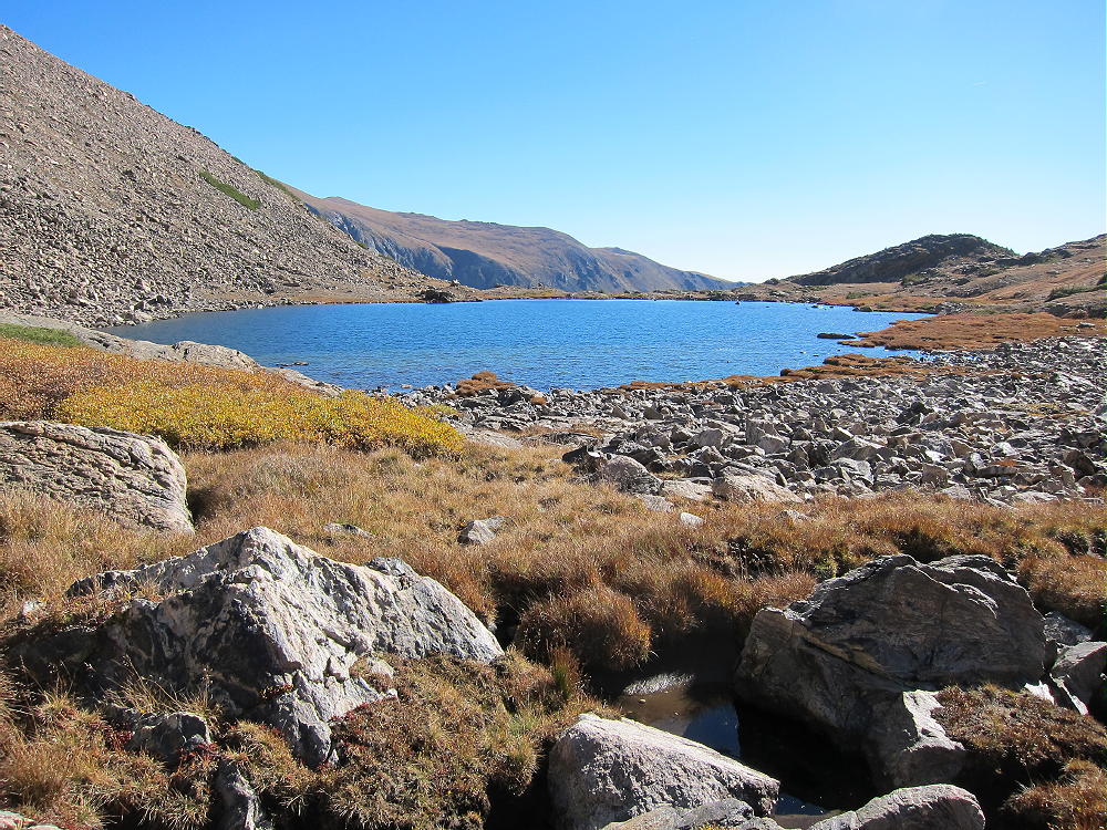
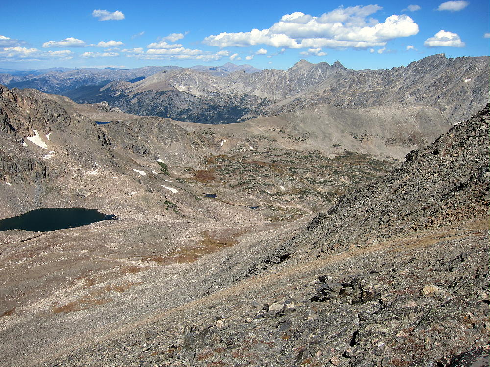
View East of Deep Lake at 11550 ft
The remains of a crashed single-engine airplane are located about 500 feet west of the lake.
-
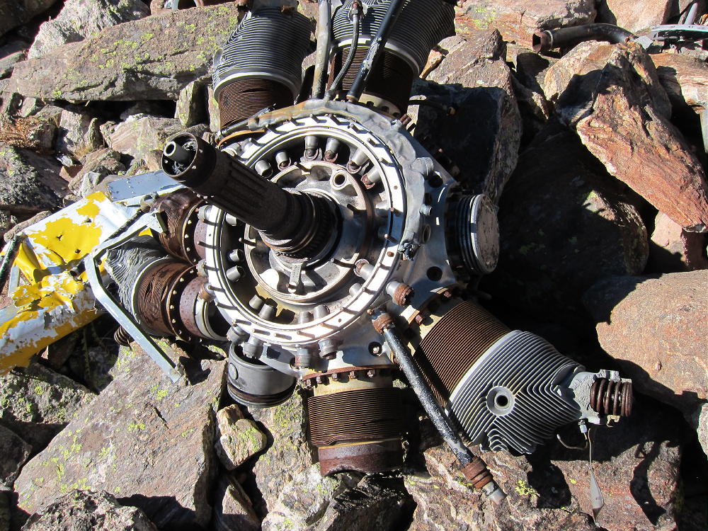
- Radial Airplane Engine
-
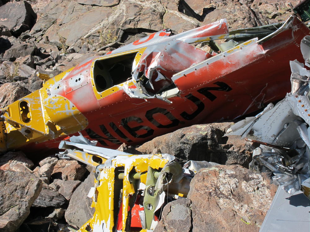
- Crashed Airplane on Route to Jasper
From the crash site, you can see your future high above – you need to decide whether to proceed. If the weather is good and you’re enjoying the rich off-trail experience of this corner of the Indian Peaks Wilderness, by all means climb on up to the summit! On the other hand, if there is any doubt, try it again another day. From the airplane wreck, you can choose one of two viable late summer or early fall routes:
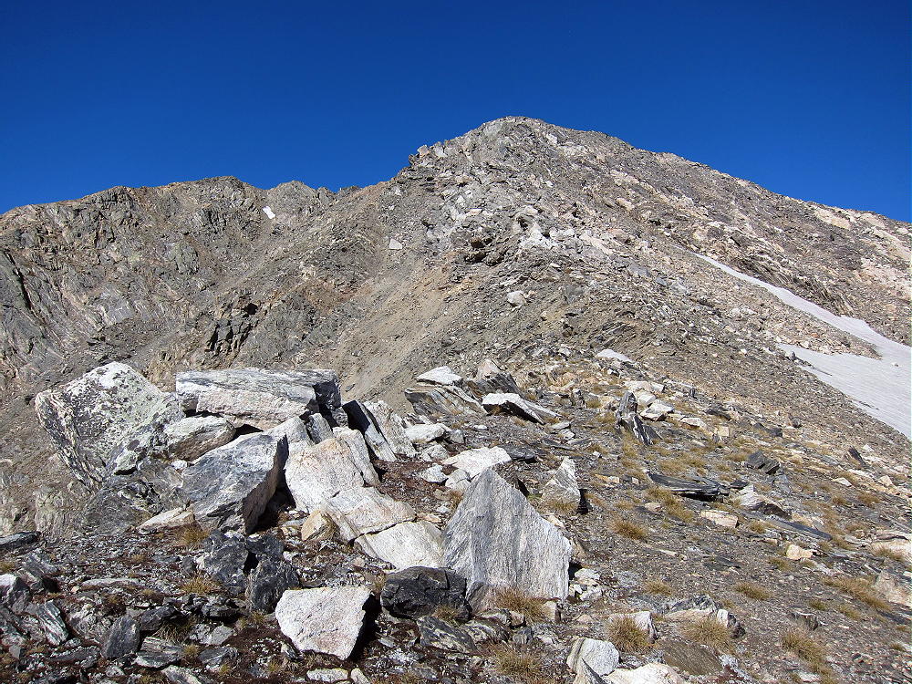
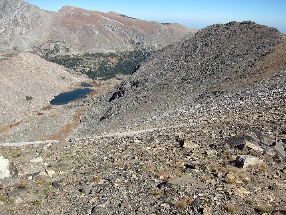
1) Jasper Northeast Ridge – this is the long rocky ridge north of the Lake. It’s mostly a class 2 walkway up the dramatic ridge-top all the way to the summit. There are only a few spots where it approaches class 3, and there are ways around anything that seems tricky. The hardest part is climbing up to the ridge from the airplane. You will see climbers’ trails heading up through the rocks. If it’s really windy, the ridge might be rough or worse. This is an exciting climb with relatively little real exposure! At the top of the ridge you must go over a false summit to climb Jasper itself.
Deep Lake and Jasper NE Ridge
OR
2) Climb the valley to Jasper’s East Ridge – this pleasant ascent goes up progressively to a saddle at about 12,500 feet on the East Ridge. It’s mostly tundra at first, and it ends up on a pretty solid talus slope below the saddle. If there’s snow it would be more serious. From the saddle, head west up a climbers’ path along the ridge, and just to the right of the ridge, and climb 300 vertical feet up dirt, rocks, and scree to the northeast sub-peak. Head SW over the rocky sub-peak and climb a short slope up Jasper.
Jasper North Slope Route
Jasper East Ridge Route

Jasper East Ridge Climbers
The south and west slopes of Jasper are large grassy meadows. The West Slope and the Divide spread out for miles and miles, as far as you can see. The rugged east side of the Divide lies far below in sharp contrast to the gentler, less-glaciated western slopes.
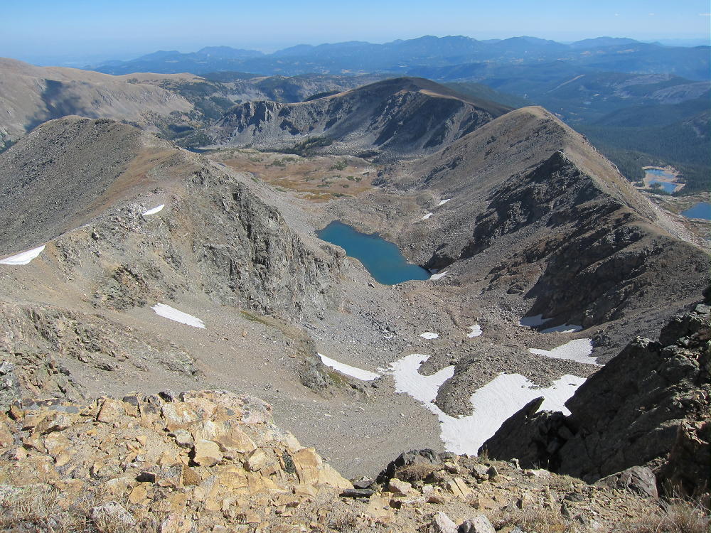
Jasper View to Upper Diamond Lake and SE Ridge
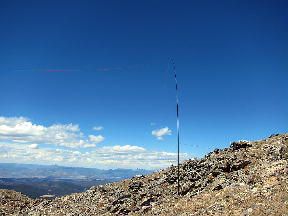
On a good day you can activate right near the summit; I set up on the south side, far enough below the summit to keep the area clear for visitors – people do travel up here, and usually you’ll meet some fellow climbers. The people I met were intrigued with the radio set-up. I used my 20-foot pole guyed to two rocks, with a 67-foot wire running down the south slope. It was a fine HF activation, with 45 contacts on 4 bands. If the summit is windy, you may have to set up in the lee of the peak – wherever you can find cover.
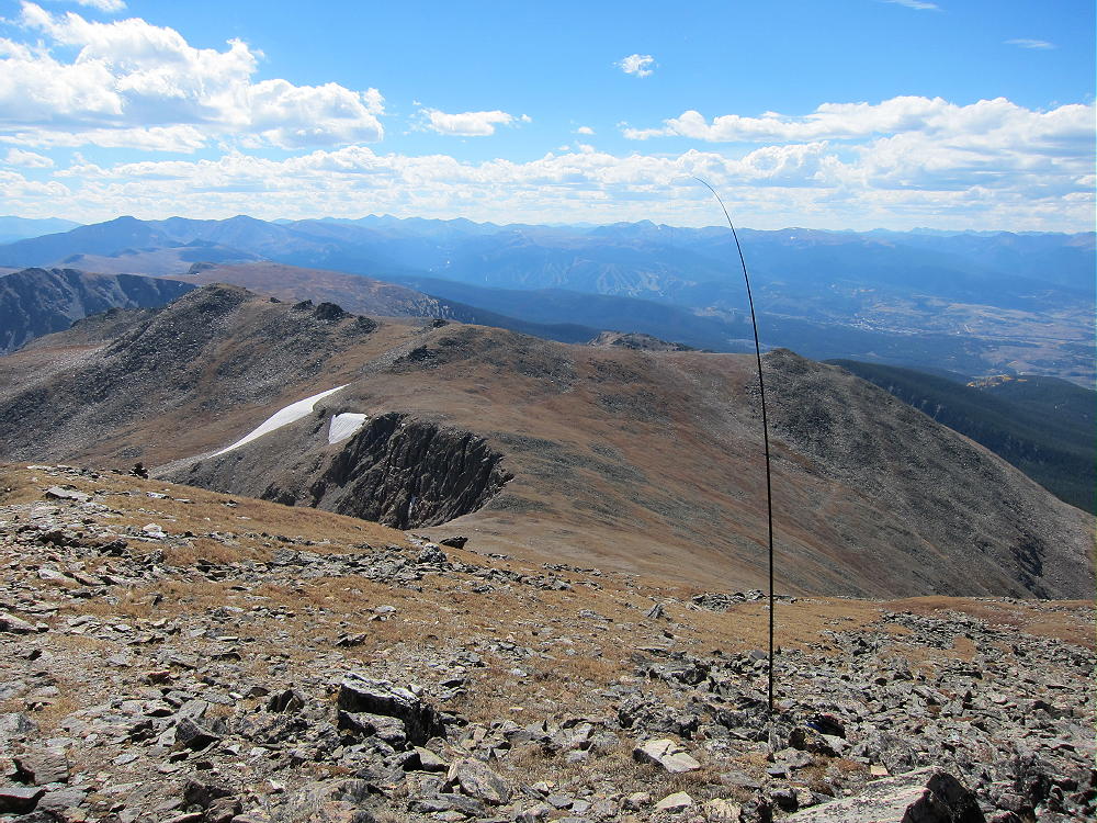
Jasper Activation on the Divide looking South
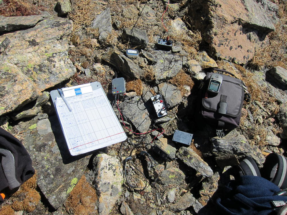
Jasper Activation Rig
Your best bet is to avoid this summit unless everything is just right! Bad weather up here could be deadly! This is a real mountain – don’t be fooled because it’s less than 13,000 feet high!
I suggest descending only by a route that you have previously ascended. Most of the ridges have serious problems and may be too difficult. In particular, avoid going over Mount Neva – the craggy ridge north of Neva is difficult/technical.
-
- Jasper Route Down from Saddle
-
- Jasper Route More Down
-
- Iceberg Lakes and Mount Neva from Jasper
The long Southeast Ridge will work OK, provided you descend the steep north slope just southeast of Upper Diamond Lake – but the hike back to the Fourth-of-July Trailhead is much longer. Going south along the Divide from the Jasper summit is a pleasant route, but you still have to get back to your vehicle somehow. Other descents are possible, but I say again – climb it first and descend what you know! The routes described here via Deep Lake Cirque are the most efficient.
It is possible to climb Jasper via Rollins Pass – Corona Pass. If you can drive to Rollins Pass from Winter Park, on the old railroad grade, park at the pass, hike north along the Divide over several smaller peaks. It’s about 4 miles over varied alpine terrain each way. Don’t try this except early on a good day. This might be the preferred route early in the summer.
Any way you do it, activating Jasper is a SOTA Classic!
73
George Carey Fuller
KX0R
-
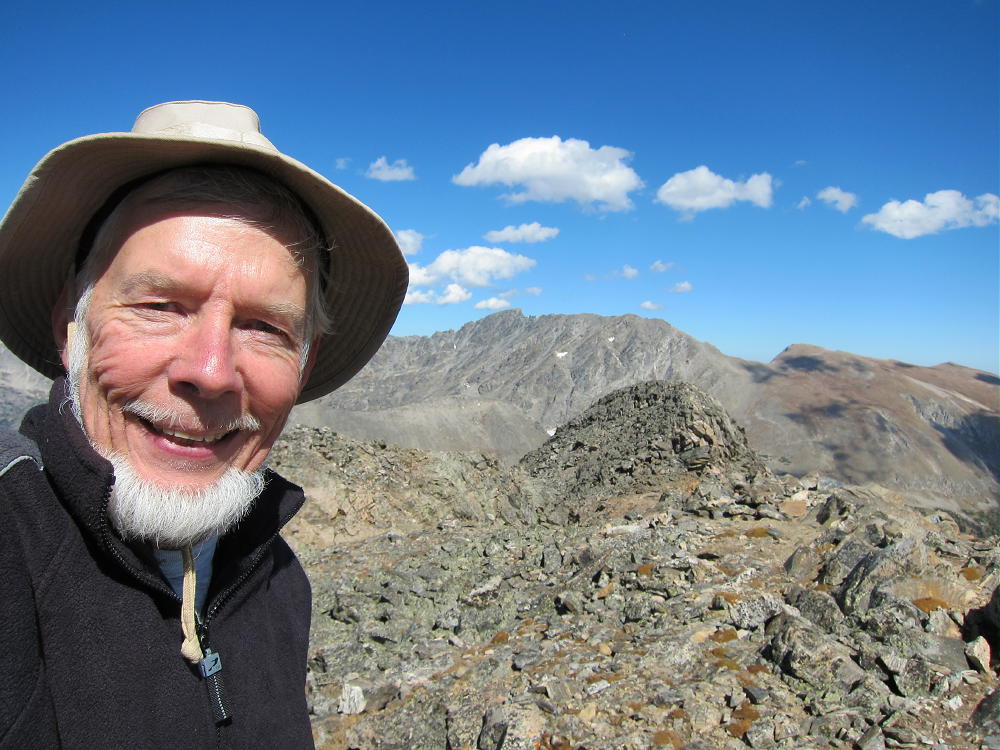
- KX0R Selfie on Jasper
-
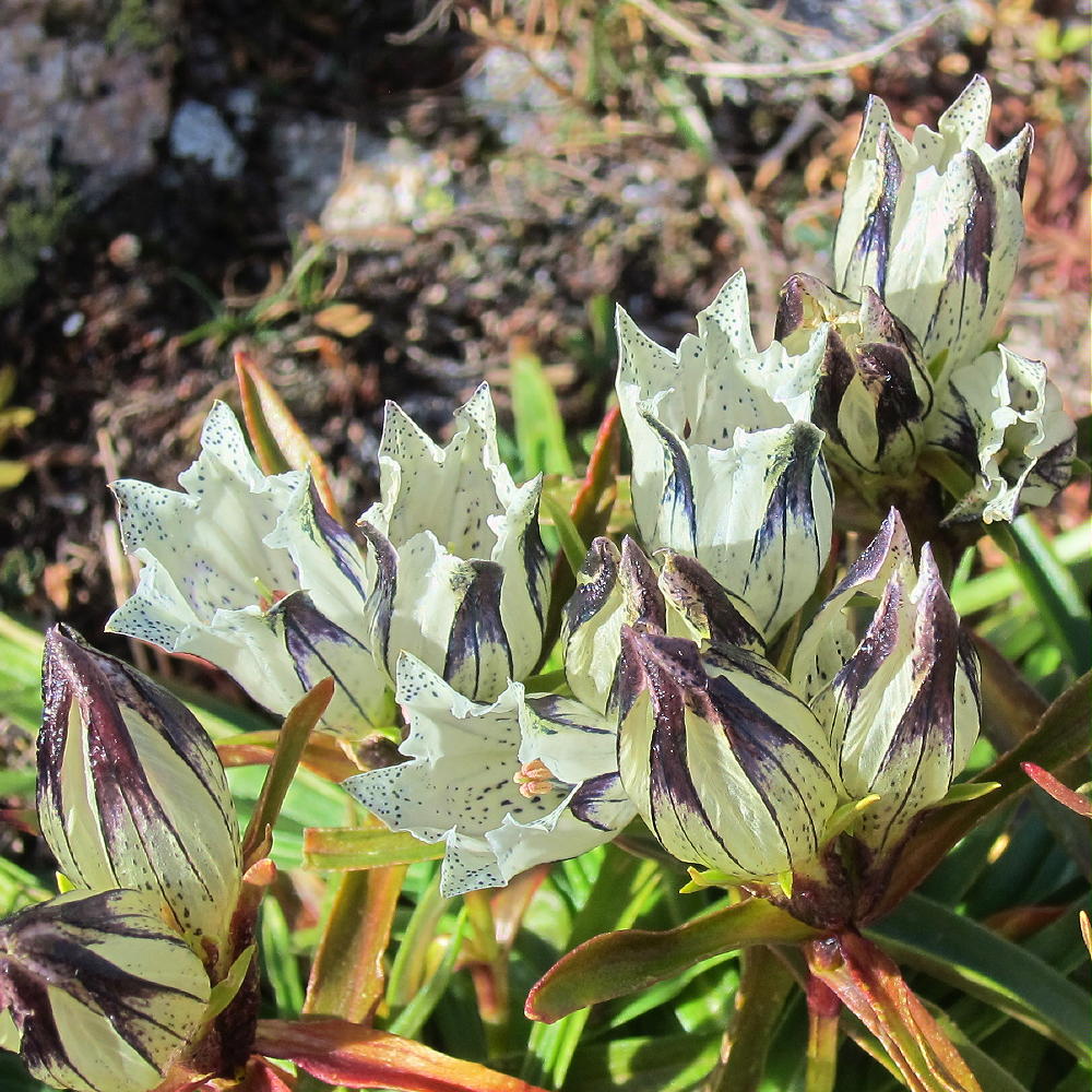
- White Gentians on Jasper
-
- Jasper View of Indian Peaks North
-
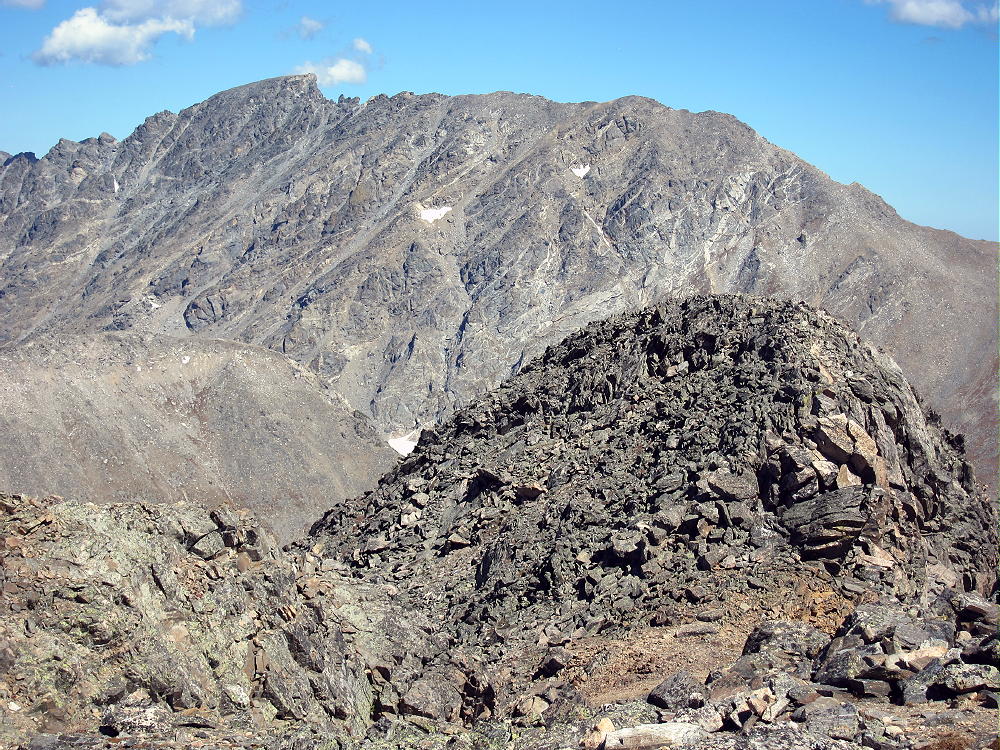
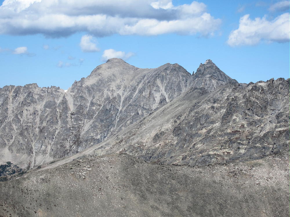
- Jasper Sub-Peak and North Arapaho Summit
-
- Jasper NE Sub-Peak on Route
-
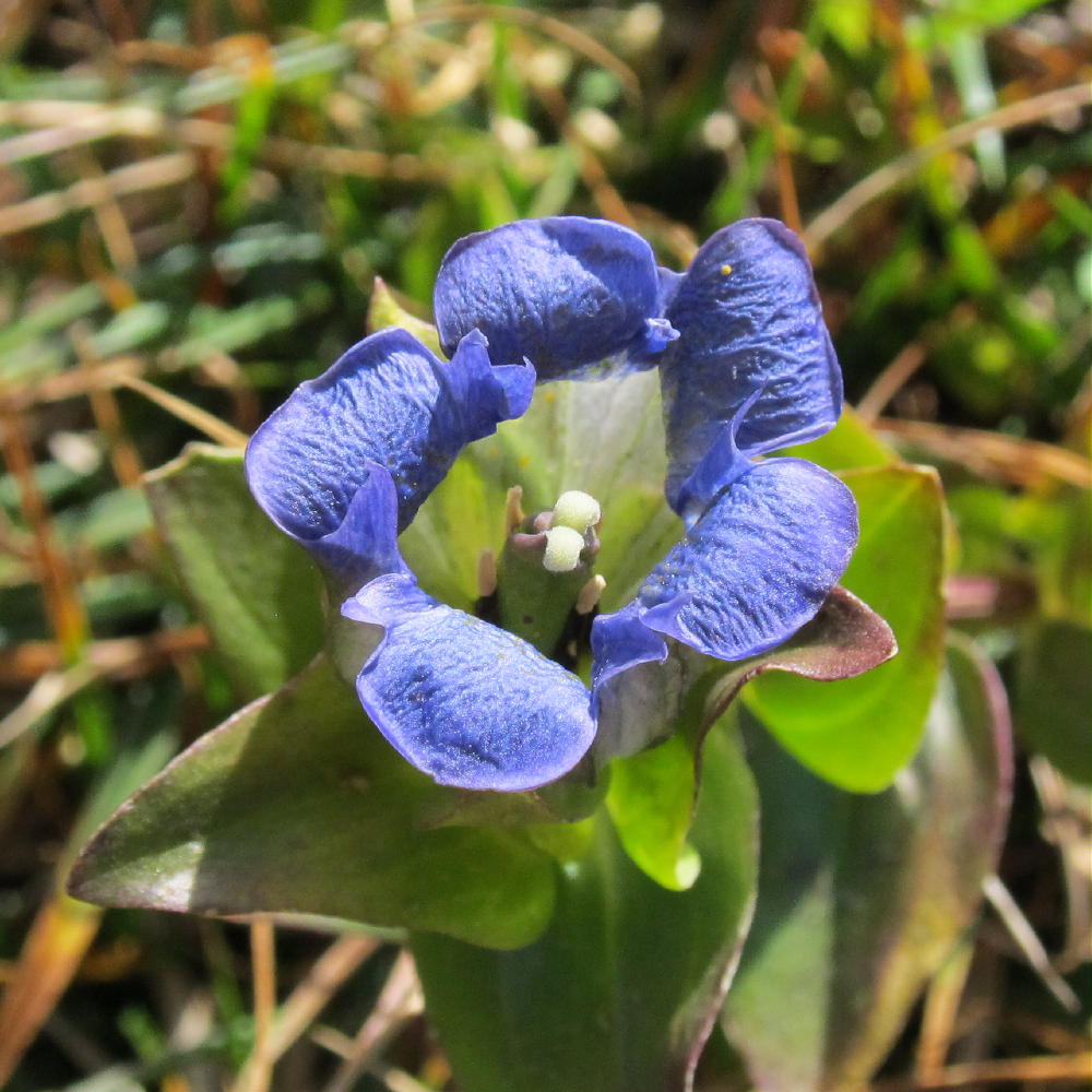
- Blue Gentian on Jasper
-
- Apache and Navajo Peaks from Jasper
![]() !! WARNING !! There are old mountaineers, and
bold mountaineers... there are no old-bold mountaineers.
Hiking and mountain climbing are potentially hazardous activities particularly in Colorado with its extreme elevations. I am not accepting responsibility for any death or injury resulting from activations based on my trip reports. Proper training, experience, and personal capability assessment is required - enjoy!
!! WARNING !! There are old mountaineers, and
bold mountaineers... there are no old-bold mountaineers.
Hiking and mountain climbing are potentially hazardous activities particularly in Colorado with its extreme elevations. I am not accepting responsibility for any death or injury resulting from activations based on my trip reports. Proper training, experience, and personal capability assessment is required - enjoy!