SOTA outings by KØMOS and contributors

Tag: Indian Peaks Wilderness

  • W0C/FR-013 (Mount Audubon) – 4030 m / 13223 ft

    W0C/FR-013
    Mount Audubon
    4030 m / 13223 ft
    July 12, 2015
    Sep 1, 2016

    By KX0R

    Mount Audubon is a popular alpine summit in the Indian Peaks Wilderness west of Boulder, Colorado.

    Key points:

    Brainard Lake Recreation Area
    Roosevelt National Forest
    • Fun trail all the way to the top
    • Spectacular views
    • Fine radio site
    • Busy trailhead
    • ~ 4 miles one-way
    • ~ 2800 vertical feet
    • SOTA Classic!

    Driving Directions:

    • Drive west from Boulder via Highway 119 to Nederland.
    • Turn north on Highway 72, the Peak-to-Peak Highway.
    • Drive to the turn-off to Ward, but don’t turn yet.
    • Continue on Highway 72 about 100 yards – turn west on the marked paved road FR-112 to the Indian Peaks Wilderness.
    • Continue about 4 miles to the Brainard Lake Recreation Area.

    Useful details:

    The route to Audubon is in the Indian Peaks Wilderness; this is a protected area with special rules. There’s a charge for entry via the Brainard Lake Road. It’s essential to start early, especially on a summer weekend; the area is very popular, and parking is limited.

    Early in the morning it may be possible to drive to the Mitchell Lake Trailhead, and to park there – otherwise, parking may be available near Brainard Lake. Parking at Brainard Lake adds about 3/4 mile to the hike – each direction. At the Mitchell Lake Trailhead, be careful to start out on the Mount Audubon Trail – not the Mitchell Lake Trail.

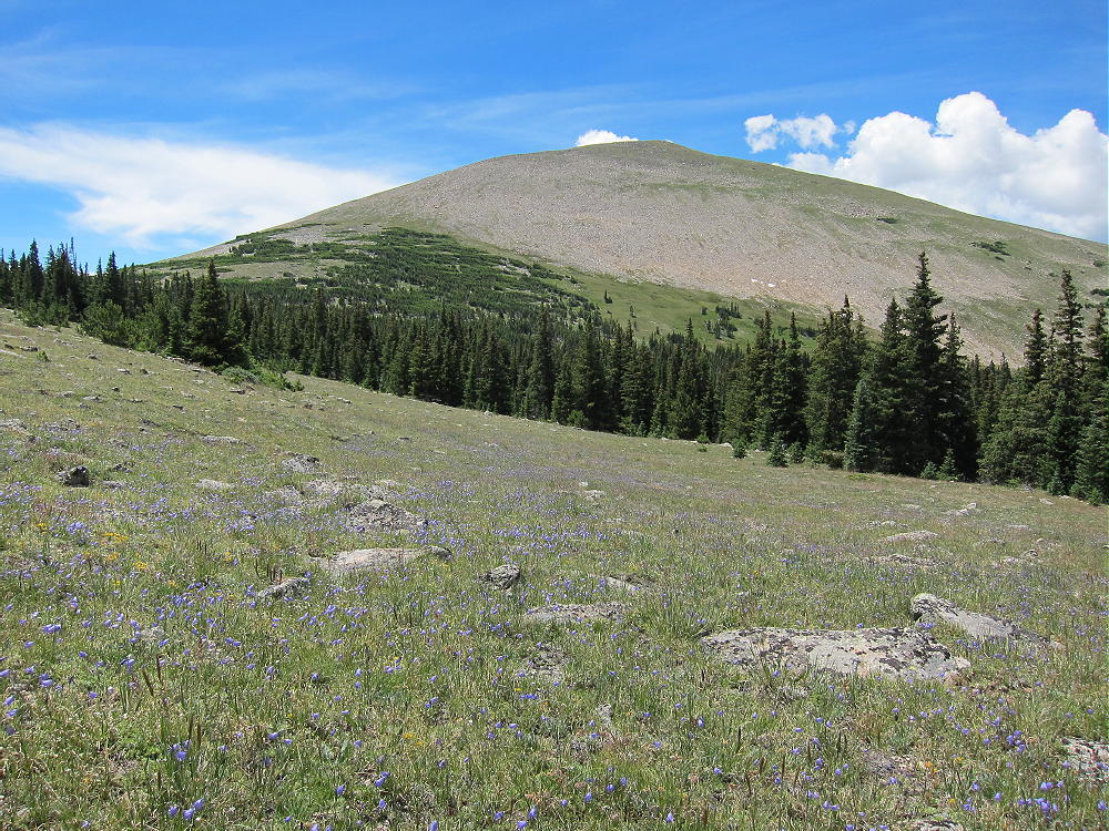
    Mount Audubon is visible from Brainard Lake – it’s the huge 13-er to the northwest.
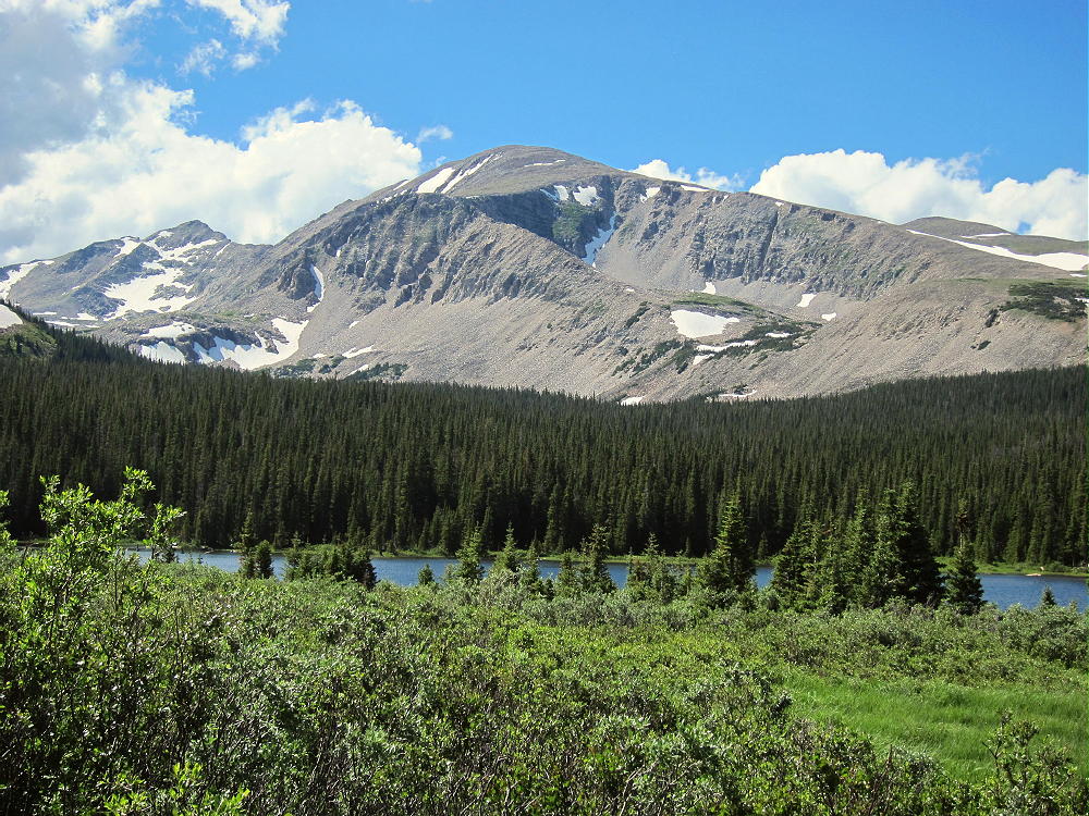
    Mount Audubon from Brainard Lake

    One of the most accessible high peaks in the northern Front Range, Audubon is climbed often. The trail is worn and rocky from decades of heavy use.

    The Hike:

    • Start up the Mount Audubon Trail
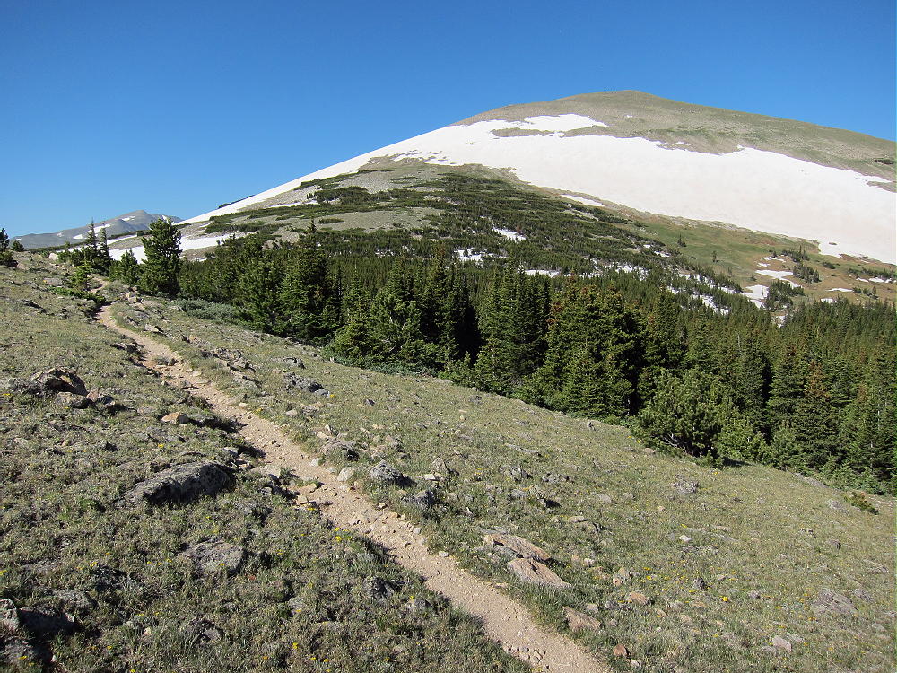
    • The route leads north through the forest and up to timberline southeast of the summit on a good trail
    • The trail continues north through an open alpine area to a split – the left (west) fork leads to the peak.
    • The route ascends across the open tundra, eventually reaching a broad saddle northeast of the peak.
    • The last half-mile is up through large rocks, where multiple paths climb to the large summit.

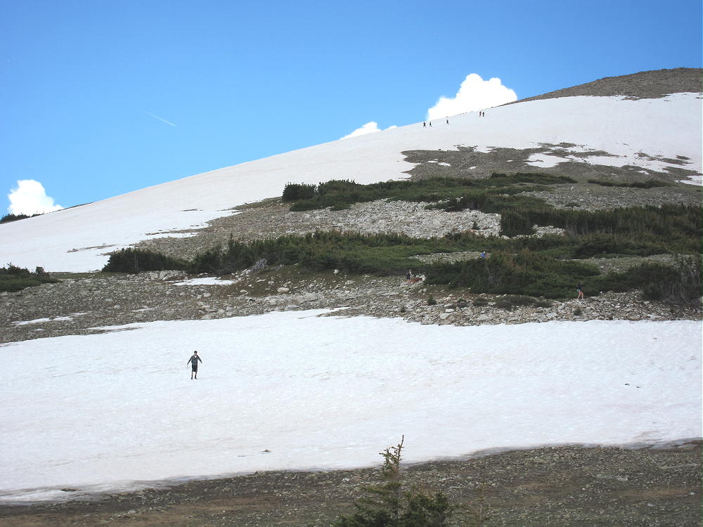
    There are fine views from the trail and the peak, snow lingers into the summer, and alpine wildflowers cover the high slopes – the popularity of this mountain is justified!
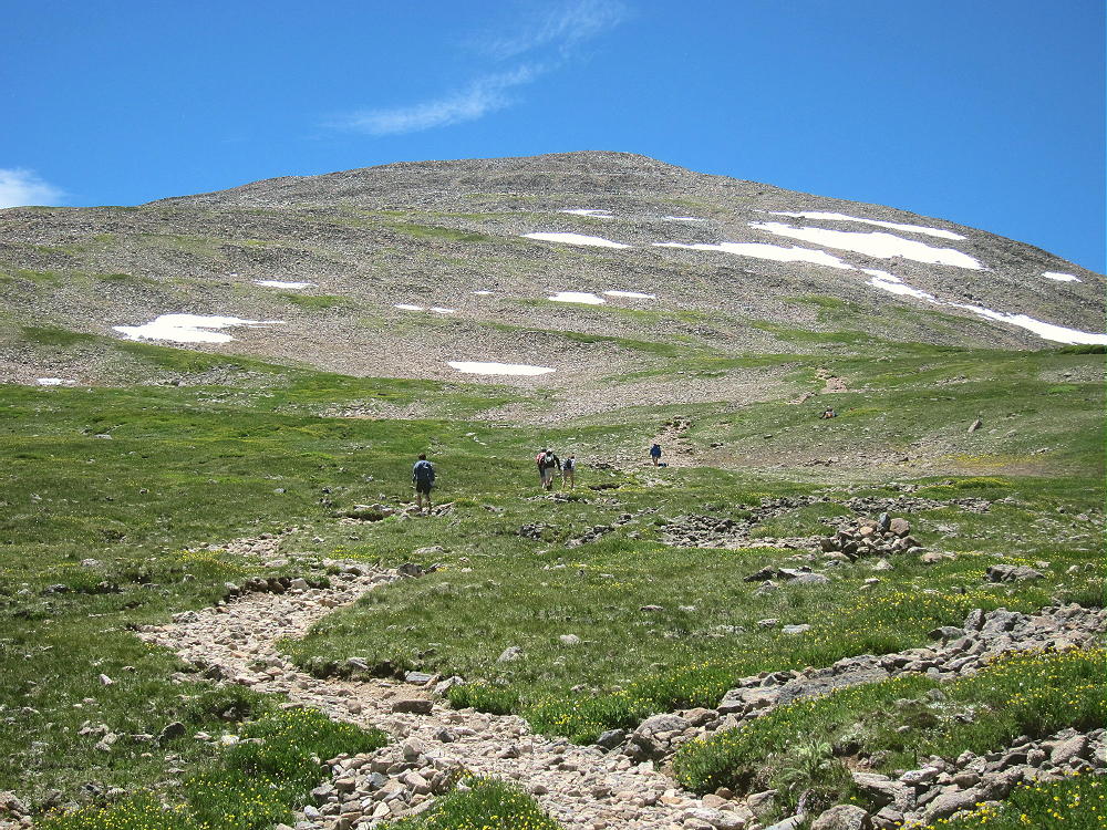
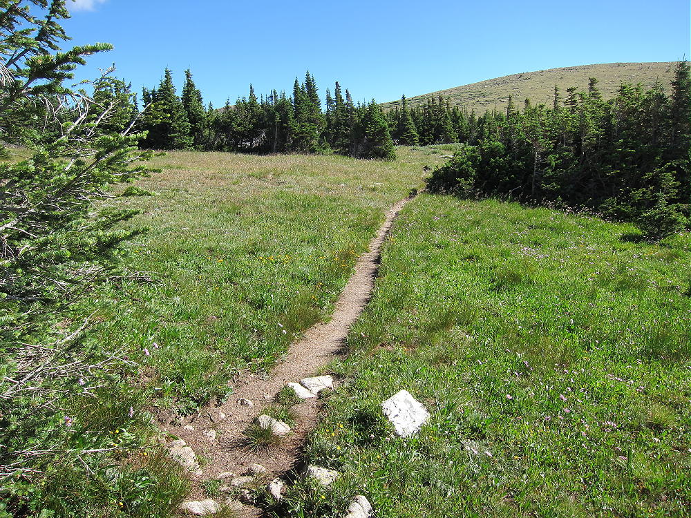
    Mount Audubon Trail
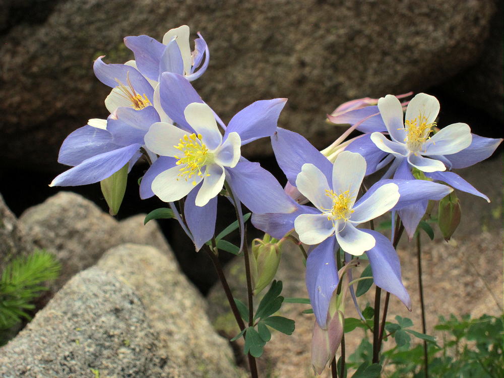
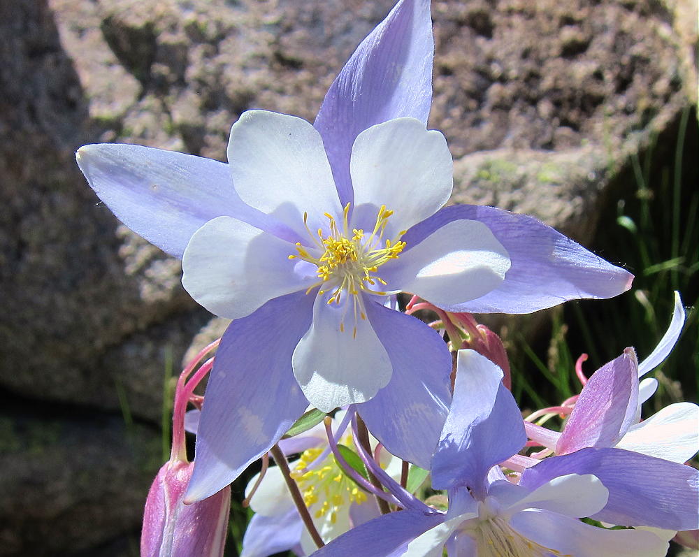
    Mount Audubon Columbines

    Activation Details:

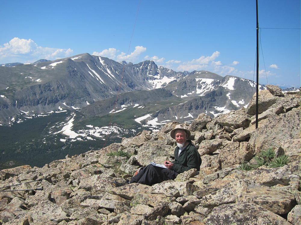
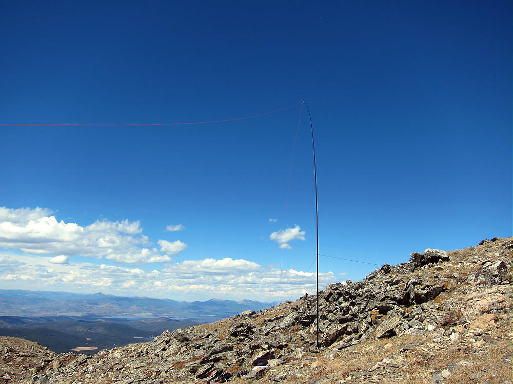
    Mount Audubon is a friendly place in good weather. Although it was sunny and dry when I was there, the wind was so roaring so strong that I wasn’t sure if I could do my activation. Although the spacious summit is almost flat, I couldn’t set up on the windy top; I searched for a spot with minimal wind. I found my place on the east side, about 30 feet below the summit, among large boulders. The wind was roaring and hissing across the edge of the peak above, but I was able to set up my pole in the rocks and guy it securely. My spot was well south of the trail, off the routes used by other hikers.
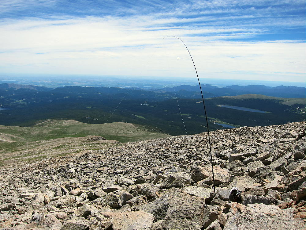
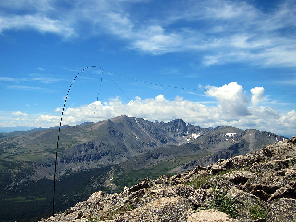
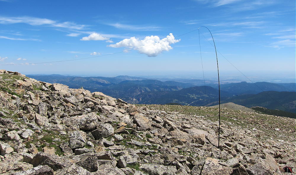
    Mount Audubon Activation

    Once the pole and wire were up and dancing, there were no more problems getting on the air and starting the activation. Setting up in a rock-pile is sometimes the only worthwhile option when winds are extreme; considerable care is required to avoid dropping small, critical items down into holes among the large rocks!
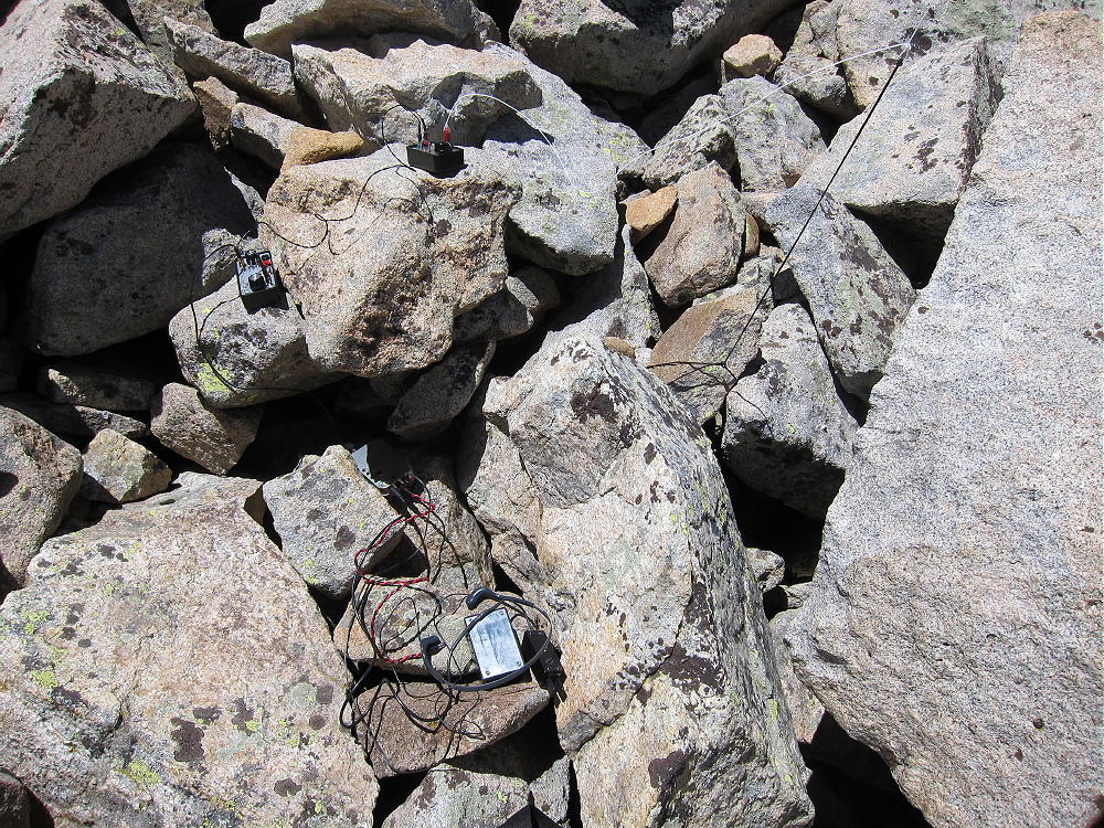
    Mount Audubon Activation – Radio Gear in the Rocks

    Mount Audubon stands prominently east of the Continental Divide; the summit is thousands of feet above the lower mountains and plains below. Audubon has a wide-open view of the populated areas to the east; it’s surely an excellent VHF/UHF site. Other high mountains are north, west, and south of Audubon, but they’re not high enough to adversely affect propagation of HF signals. This is an excellent HF site; the noise level is low, because little development is near the peak. On a day when many people are on the summit, it’s probably a good idea to set up HF gear out of the way, slightly down from the popular top.

    Despite the incredible wind, I had a fine SOTA activation on Audubon, with 31 contacts on 10-14-18-21 MHz CW. The session lasted about 70 minutes, and I was delighted at my results!

    After I took down the pole and put away my gear, I climbed up on top to take some pictures; it was difficult to stand on the west side of the summit, where the wind was strongest. A few other people came and went, but not many stayed more than a few minutes!
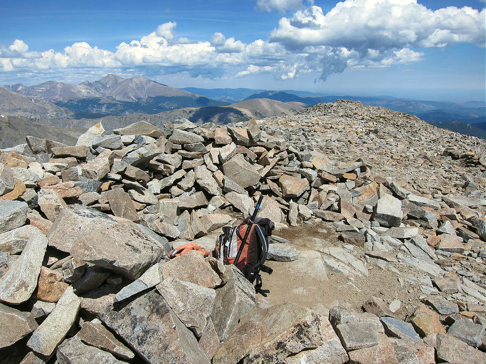
    Mount Audubon Summit Wind Shelter

    Dry windy weather is generally safer than storms and lightning. Mount Audubon is one of the highest mountains in its area, so it often has cumulus clouds and dangerous lightning. It should be avoided if storms are in the forecast, or if dark-bottomed clouds are forming in the area. An early start is essential to minimize the risk of bad weather in spring and summer.

    Mount Audubon is a SOTA Classic:

    • Spectacular wilderness location
    • Beautiful alpine hike up an accessible trail
    • Significant vertical gain
    • Wonderful setting with high peaks all around
    • Great HF/VHF/UHF radio site
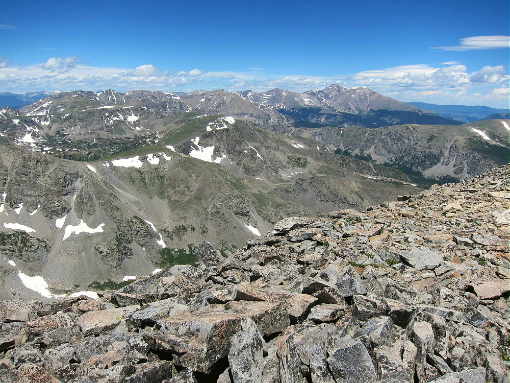
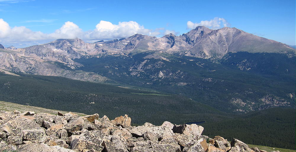
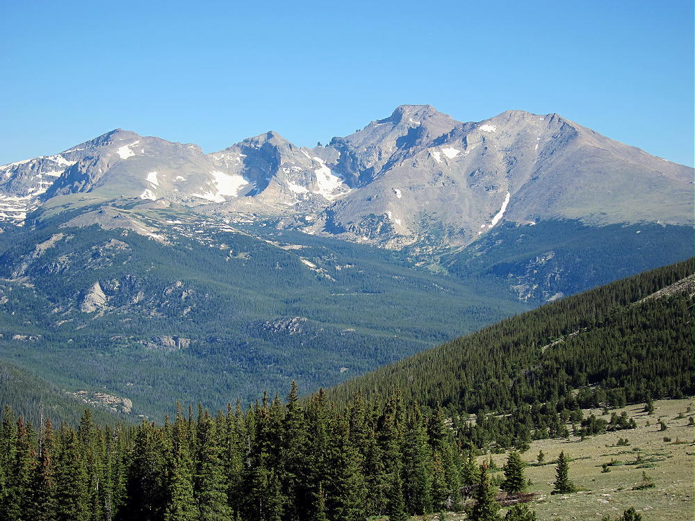
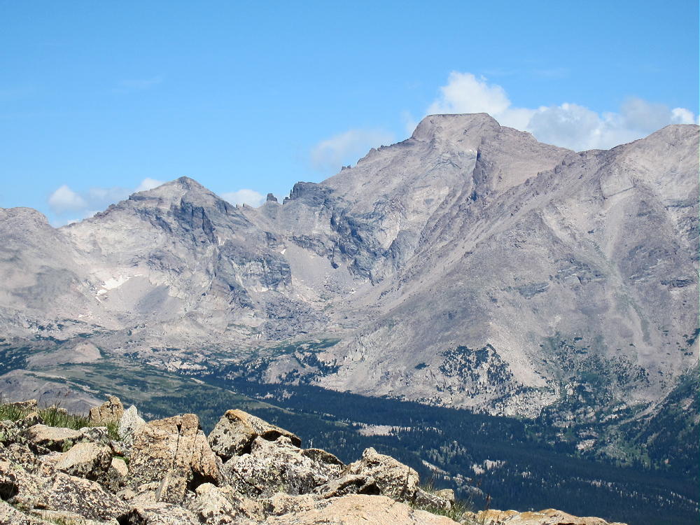
    Mount Audubon View North to Longs Peak

    There are numerous other high SOTA peaks within sight of Mount Audubon. However, most of these summits require significant hikes, comparable to the trip up Audubon. There are few possibilities for a reasonable dual activation, except for a few lower mountains located near roads lower down. These lower possibilities include:

    W0C/FR-061 Taylor Mountain 2779m / 9134ft 4 points
    W0C/FR-174 Bald Mountain 2783m / 9147ft 4 points

    Camping offers a way to activate multiple high summits in the area. Numerous forest campgrounds and campsites are within a few miles of Mount Audubon; many of these campgrounds are popular, so reservations may be required. Roosevelt National Forest has a few places where dispersed camping is allowed. Backpack camping in the Indian Peaks Wilderness is a possibility, but a permit is required, and special rules apply.

    Mount Audubon is a Classic SOTA Peak – a real alpine jewel on the right day!

    73

    George Carey Fuller
    KX0R
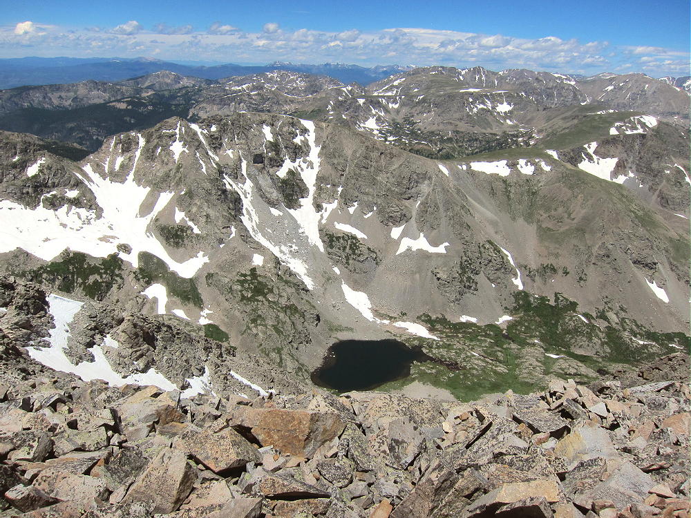
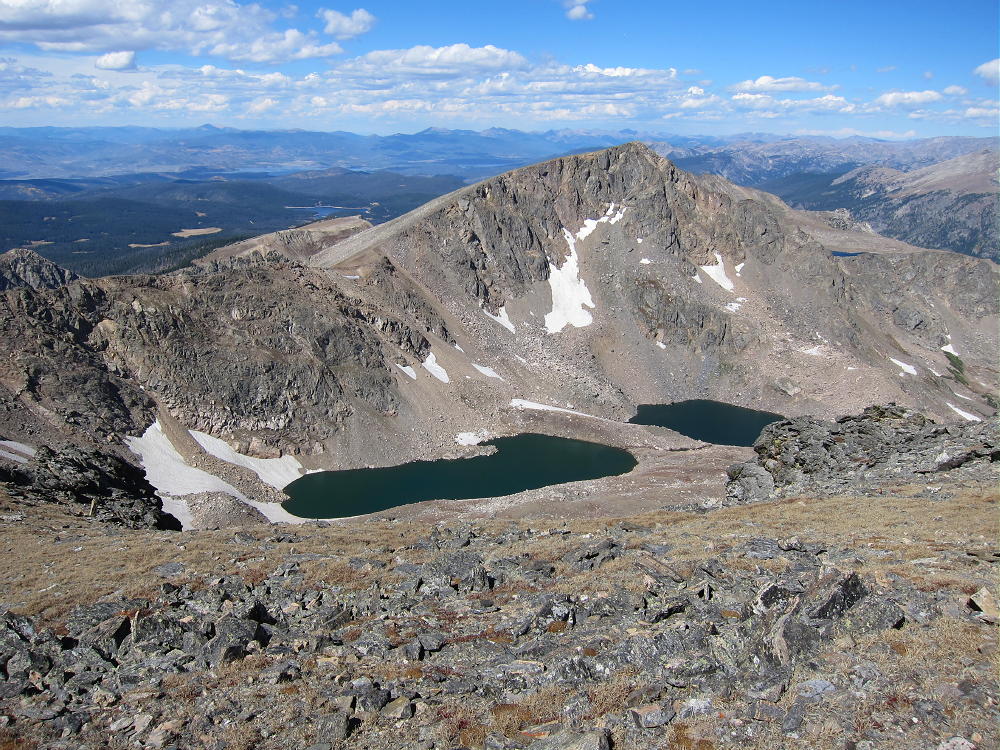
    Mount Audubon – Upper Coney Lake
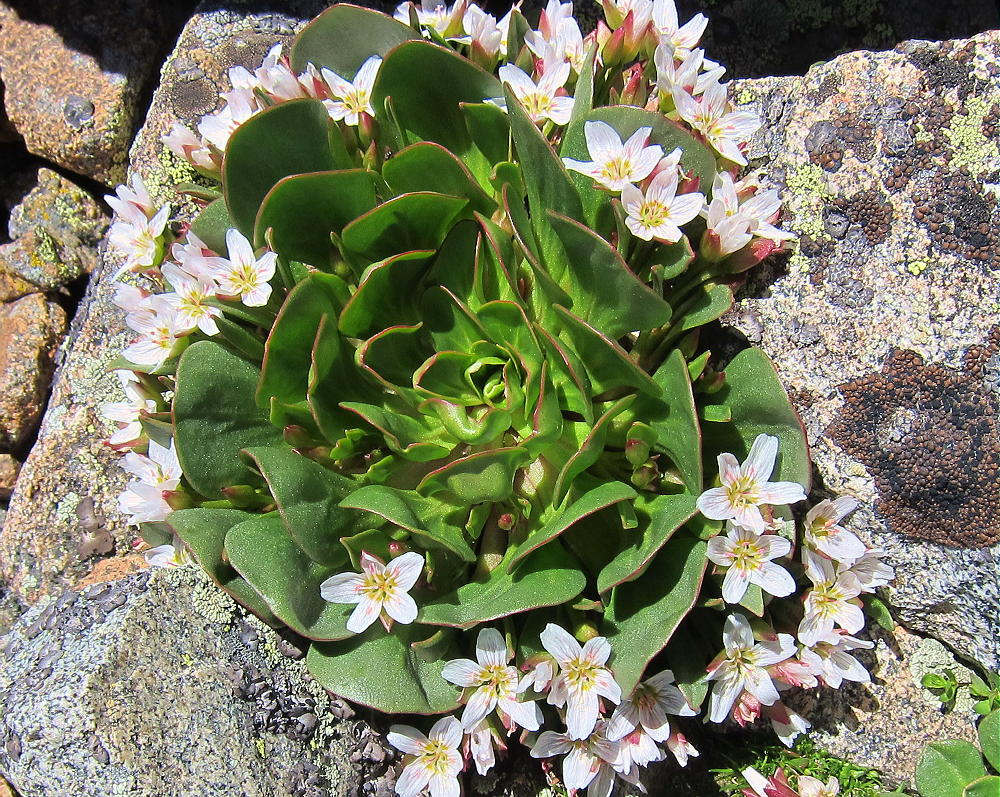
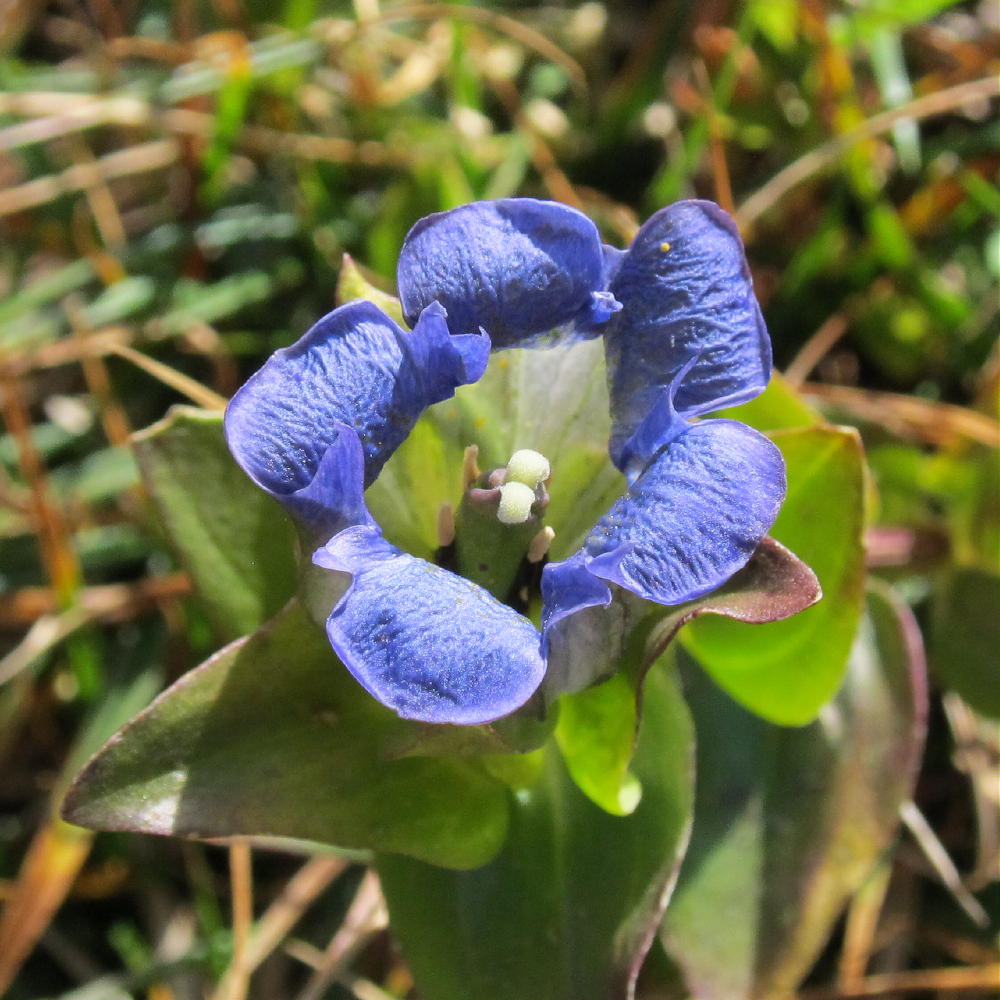
    Mount Audubon – Alpine Spring Beauty

    ATTENTION !! WARNING !! There are old mountaineers, and bold mountaineers… there are no old-bold mountaineers. Hiking and mountain climbing are potentially hazardous activities particularly in Colorado with its extreme elevations. I am not accepting responsibility for any death or injury resulting from activations based on my trip reports. Proper training, experience, and personal capability assessment is required – enjoy!
  • WØC/FR-Ø26 (Saint Vrain Mountain) – 3700 m / 12162 ft

    W0C/FR-026
    Saint Vrain Mountain
    3700 m / 12162 ft
    First Activation August 2, 2013
    Second Activation July 6, 2014

    By KX0R

    Saint Vrain Mountain is a prominent SOTA peak west of Allenspark, on the boundary between the Indian Peaks Wilderness and Rocky Mountain National Park. There is a pretty good trail most of the way up to the top, so it’s a popular hike in summer.

    Saint Vrain Trail near Saddle
    Saint Vrain Trail near Saddle

    To climb Saint Vrain Mountain, first drive along the Peak to Peak Highway 7 to the town of Allenspark. Turn south at the big hilltop, drive south a couple of blocks past some houses, and find dirt road USFS 107. Follow 107 about 1.5 miles south up the valley of Rock Creek. At about 8700 feet the road splits – take the right fork, USFS 116.1, uphill about 1/2 mile to about 9000 feet, where the road dead-ends at the trailhead. There is very limited parking, and access is free, so get up there early!

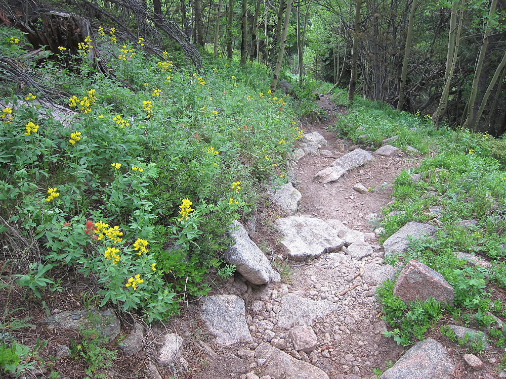
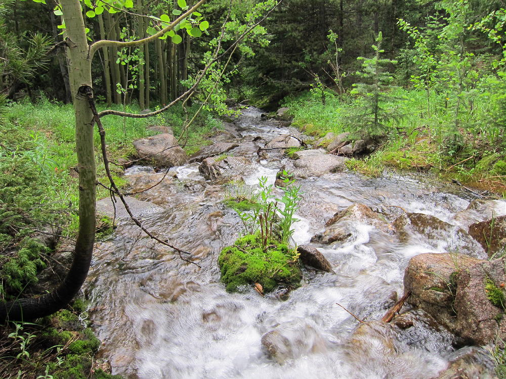
    The beautiful trail climbs steeply up through the forest through aspen groves along a pretty creek.

    After about 3 miles the trail reaches a scenic alpine saddle just south of Meadow Mountain at 11,200 feet. Follow the trail south about a half mile through the sub-alpine forest and across the tundra to a point just east of Saint Vrain Mountain. Leave the trail and climb 800 vertical feet up the moderate east side of Saint Vrain. Depending on the season, this will either be snow fields or grassy slopes and rock. The route follows the marked National Park boundary.

    The hike is 4.4 miles and about 3200 vertical feet from the trail-head to the summit. Views from the peak are spectacular in all directions, and many SOTA Peaks are visible.

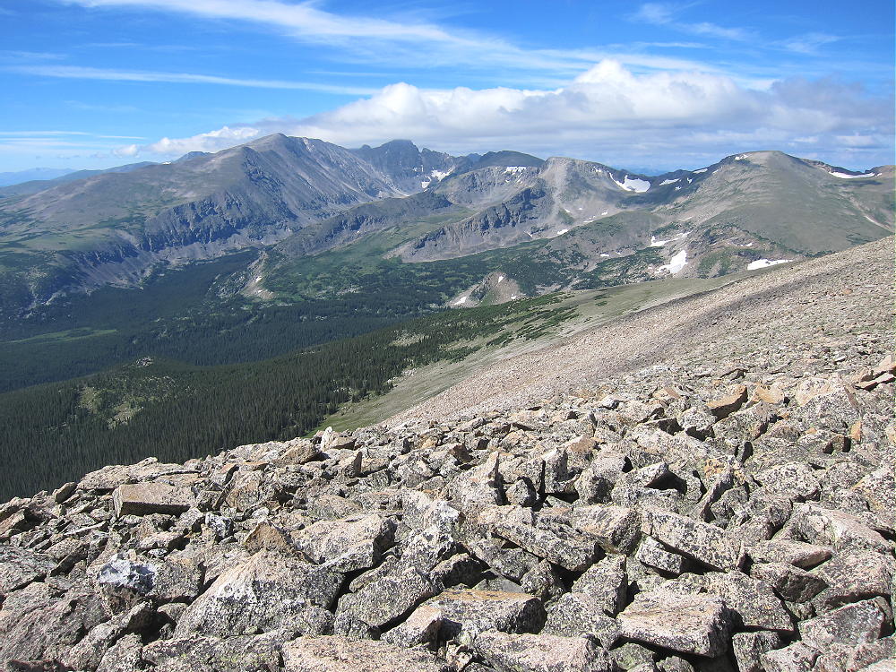
    The rocky summit has plenty of room to share with other visitors. It may be better to set up just below the peak to escape people or wind. Saint Vrain is an excellent radio site for HF and VHF/UHF – it is east of the Divide, and it has a wide view across the Eastern Plains, as well as the east side of the Front Range.

    The region around Saint Vrain Mountain forms many thunderstorms in summer. Small cumulus clouds can turn into dark-bottomed monsters in a short time. Get an early start, and don’t push your luck.

    George Carey Fuller
    KX0R


    ATTENTION !! WARNING !! There are old mountaineers, and bold mountaineers… there are no old-bold mountaineers. Hiking and mountain climbing are potentially hazardous activities particularly in Colorado with its extreme elevations. I am not accepting responsibility for any death or injury resulting from activations based on my trip reports. Proper training, experience, and personal capability assessment is required – enjoy!
  • WØC/FR-Ø15 (Jasper Peak) – 3931 m / 12923 ft

    W0C/FR-015
    Mount Jasper
    3931 m / 12923 ft
    First Activation Sep 27, 2014

    By KX0R

    Mount Jasper is a challenging, potentially fun summit in the Indian Peaks Wilderness, high on the Divide, directly west of Boulder, Colorado. This is a wild summit with several ascent routes, and you will earn all of your 8 SOTA points if you manage to activate Jasper! I tried to activate it in 2013, and I made it to the top – but the weather looked tricky, so I descended without activating. This year I waited until a perfect day came along in late September, and I totally enjoyed activating this nice peak for the first time.

    Jasper First Activation South Side
    Jasper First Activation South Side

    There are some resources online with climbers’ trip reports, and Jasper is detailed by Gerry Roach in his book on the Indian Peaks. Study topo maps and climbing info before attempting this peak. There are no marked trails, only paths used by climbers; sharp navigation and good off-trail hiking skills are critical. In particular there are only a few good descent routes leading down to the east. Your ascent may take longer than you expect. I have climbed Jasper several times by different routes over the years, so I knew what to expect. It’s only about 8.5 miles round trip, with about 2800 vertical feet of gain, but much of the route is in the rocks.

    Man on Jasper Sub-Peak
    Man on Jasper Sub-Peak

    The standard access is from the Fourth of July Trailhead, located about 7 miles up rough dirt road 111 west of the town of Eldora (not Lake Eldora) – several miles west of Nederland. On busy weekends the parking spaces fill quickly. Start up the Arapaho Pass Trail, and turn left at the sign for Diamond Lake.

    Jasper Route from Arapaho Pass Trail
    Jasper Route from Arapaho Pass Trail

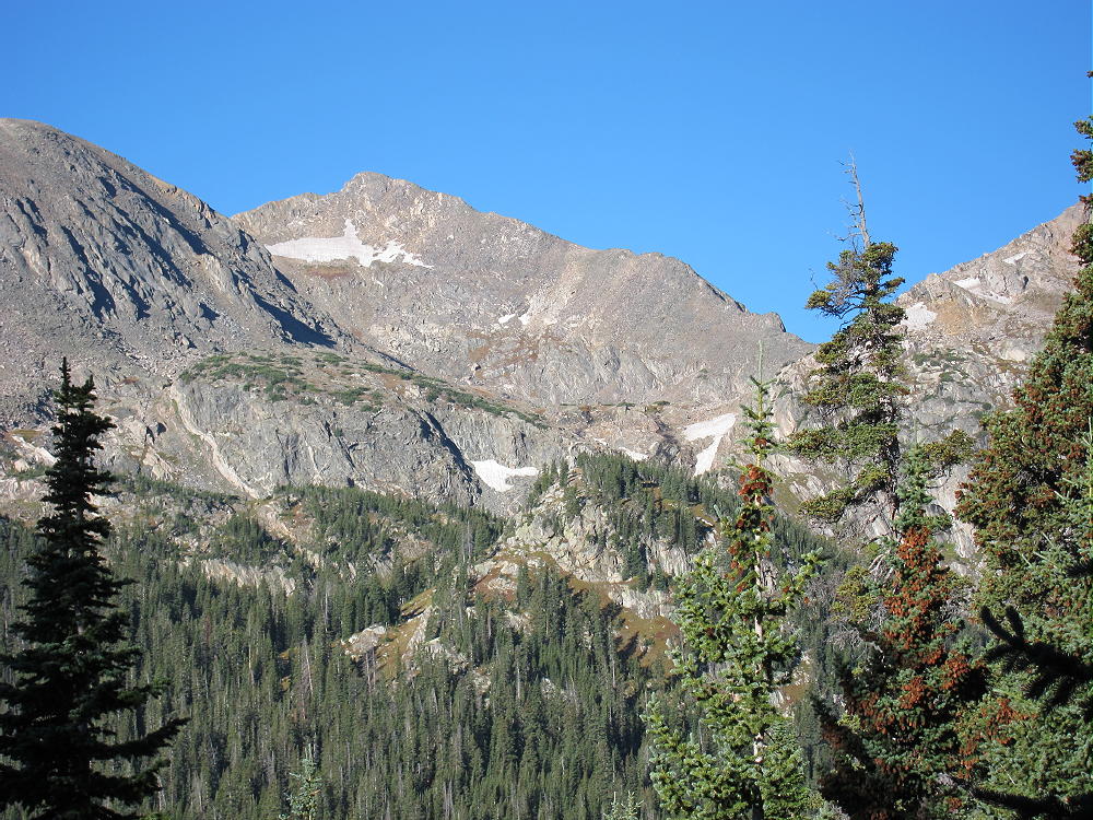
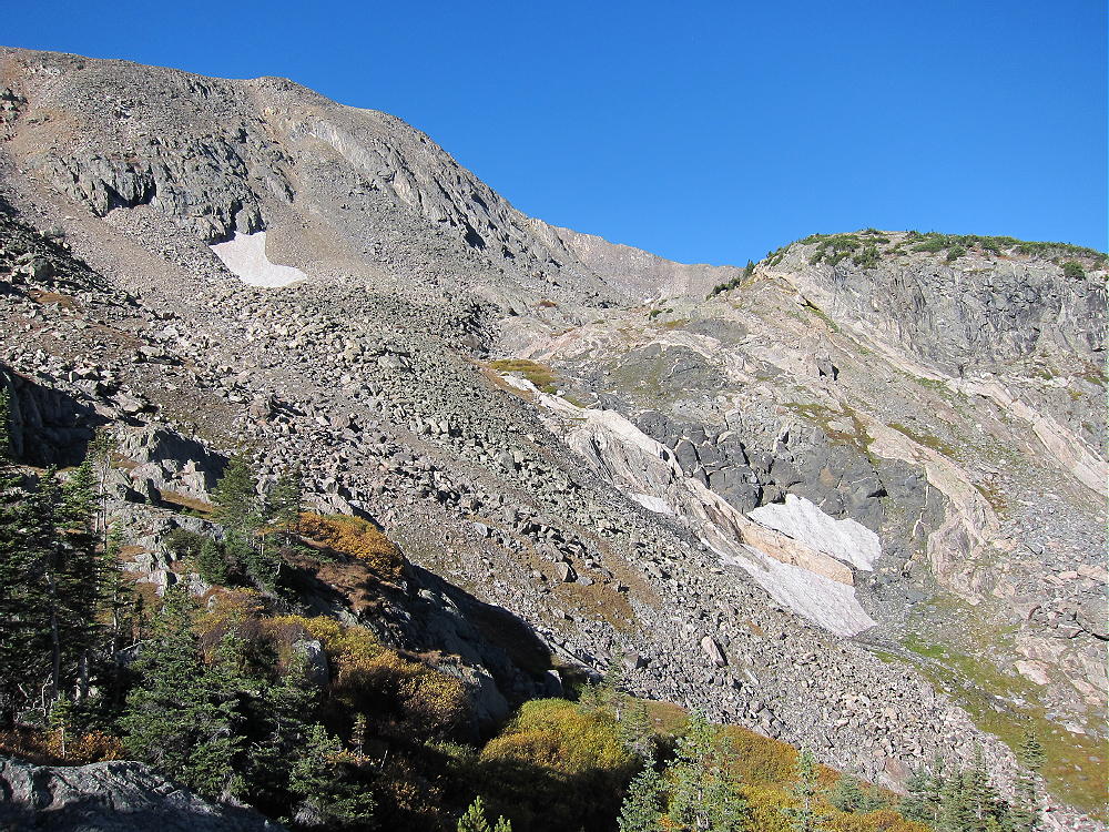
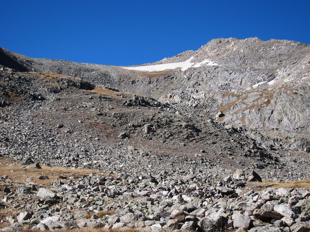
    Hike an additional 1-1/2 miles, until the route descends and crosses the main creek down in the valley. Cross the creek on a log bridge near a waterfall, leave the Diamond Lake trail, and head up the south side of the creek on a small path. Walk about 100 yards and then hike southwest on an unmarked, spotty trail up through the woods. Try to find and use game trails that run through the sub-alpine forest wilderness. Travel up the steep slopes to treeline, and then climb up several hundred vertical feet into a large cirque – stay on the south side as you head up toward this cirque.

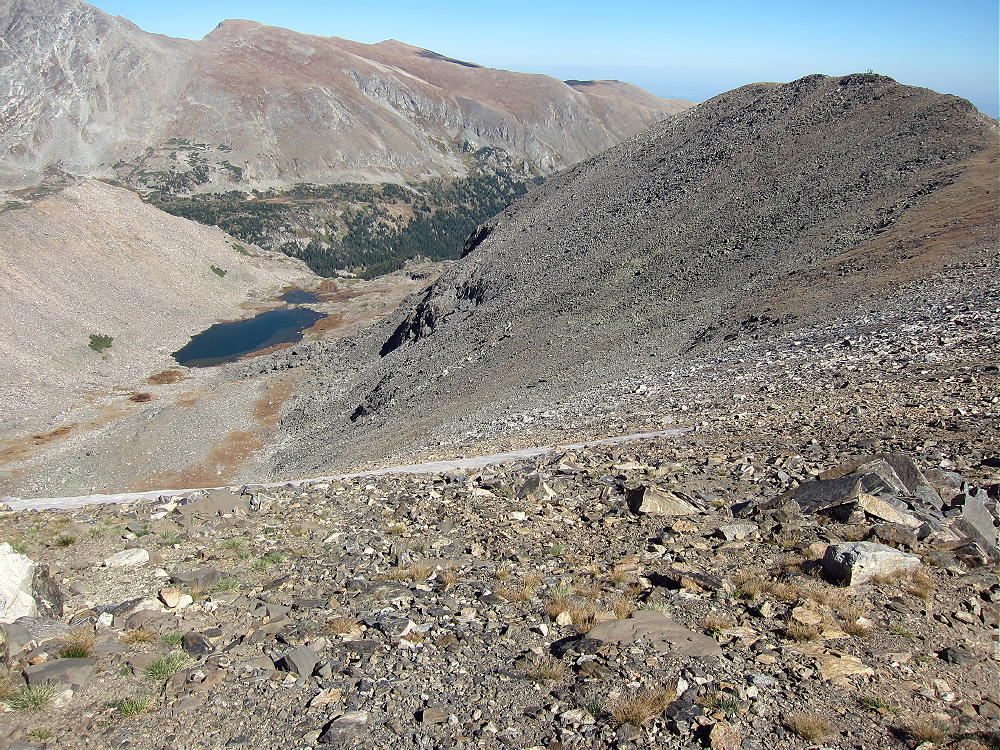
    Route to Deep Lake and Jasper
    Route to Deep Lake and Jasper

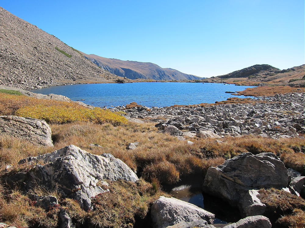
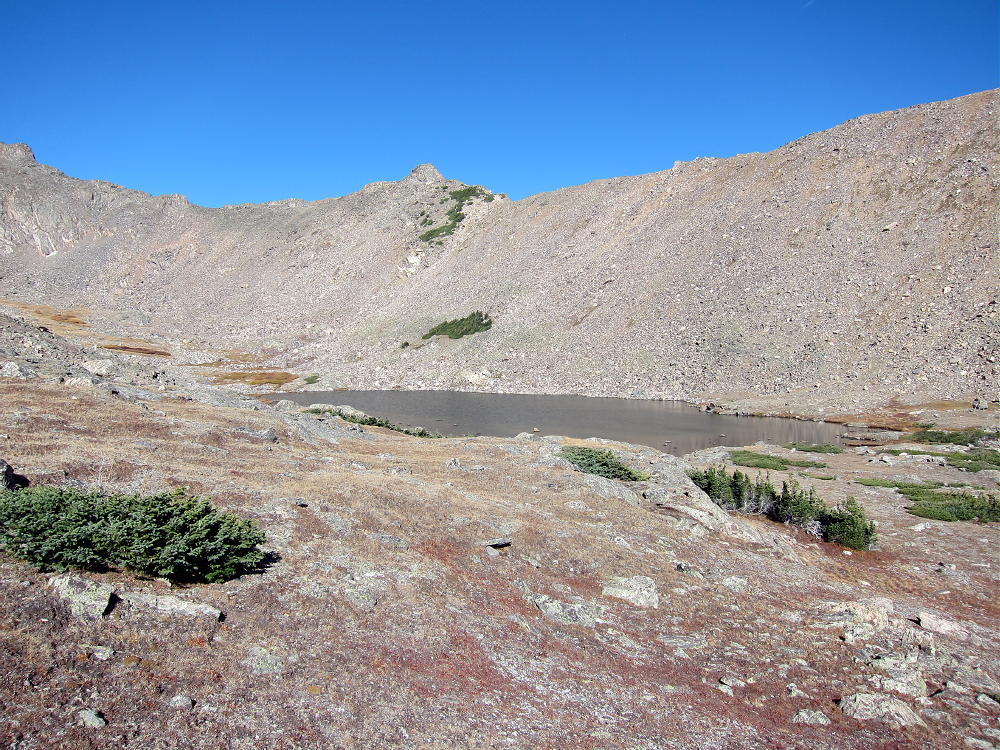
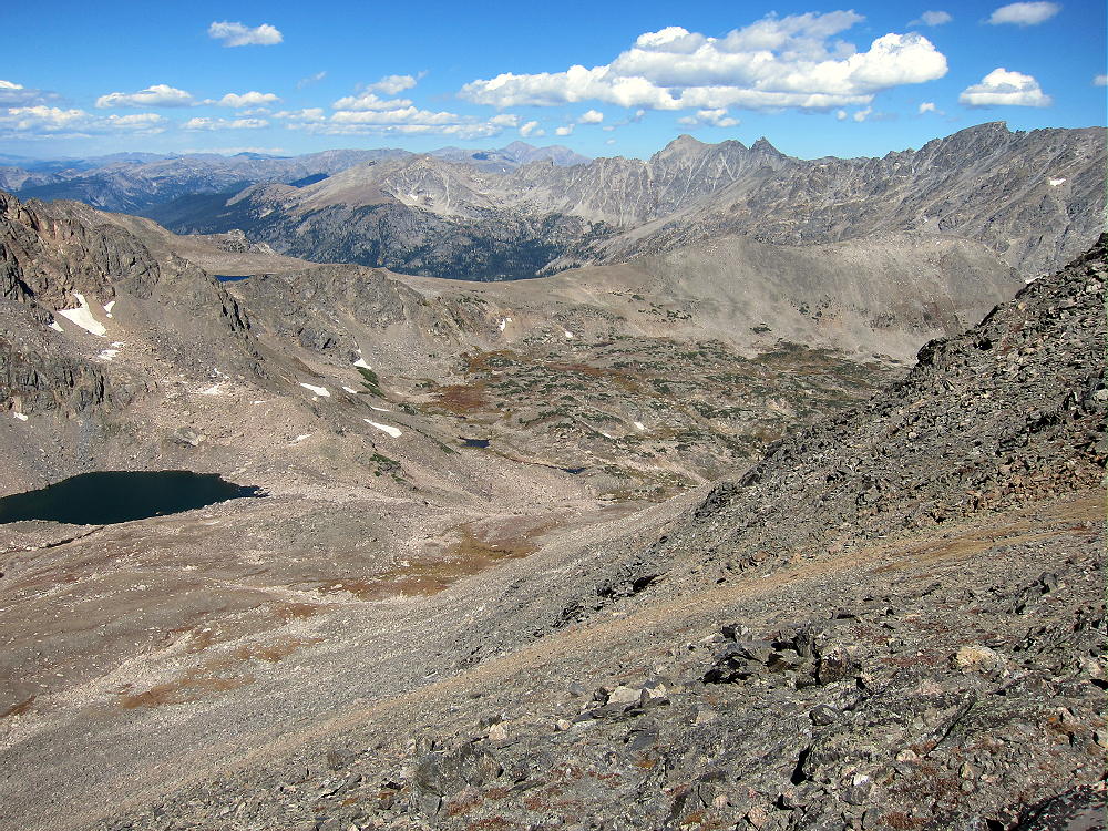
    No rock-climbing is required. This route is easiest in late summer – it holds snow very late. At about 11,400 feet, head toward the un-named lake at about 11550 feet. This lake is called Deep Lake by some. This is a very special place.

    View East of Deep Lake at 11550 ft
    View East of Deep Lake at 11550 ft

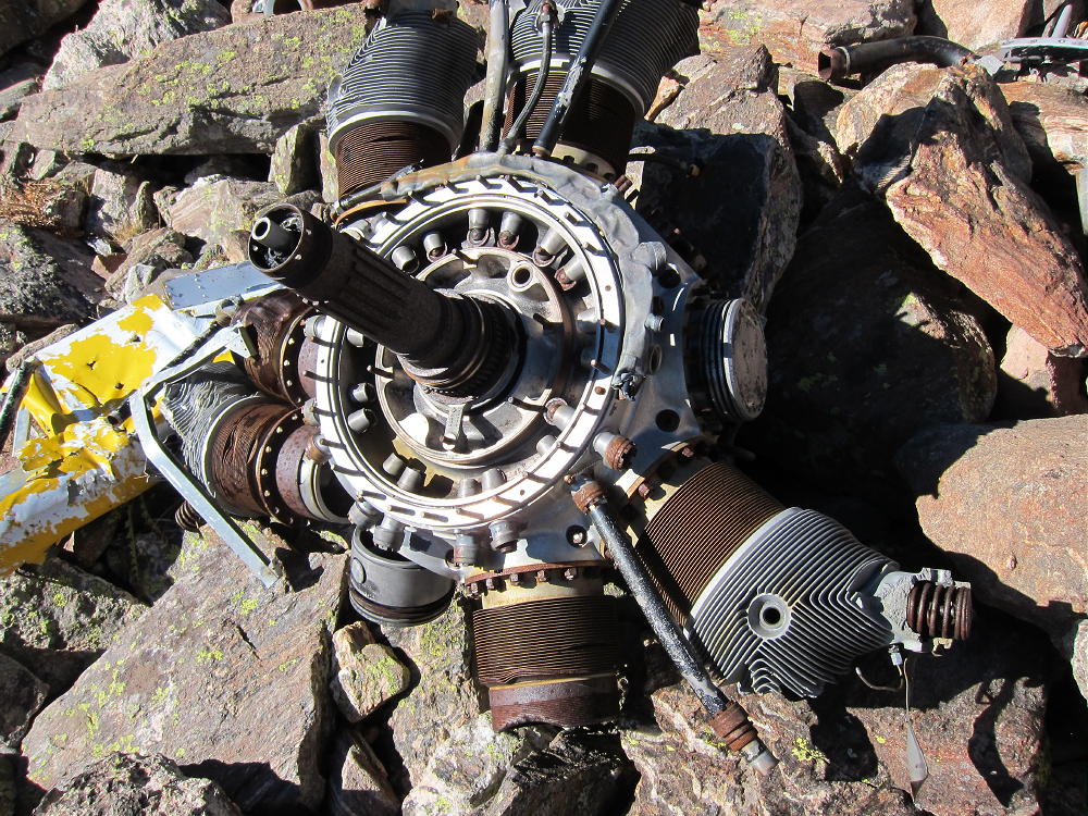
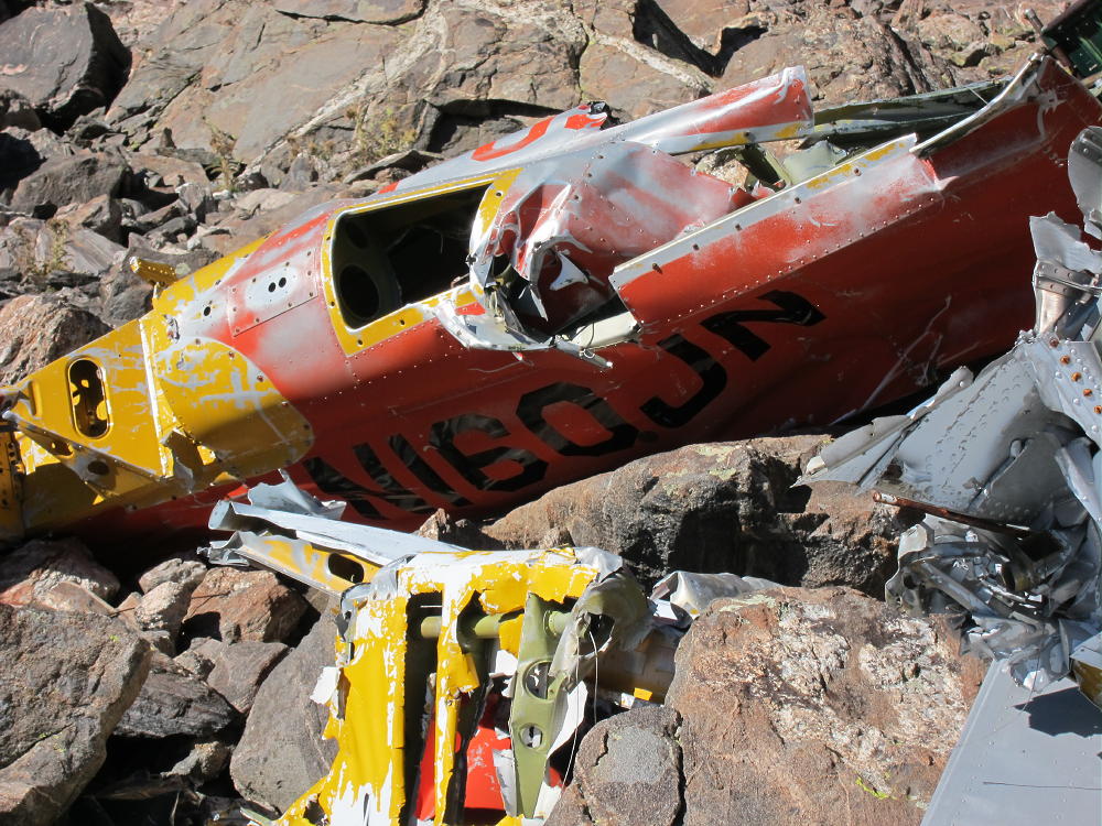
    The remains of a crashed single-engine airplane are located about 500 feet west of the lake.

    From the crash site, you can see your future high above – you need to decide whether to proceed. If the weather is good and you’re enjoying the rich off-trail experience of this corner of the Indian Peaks Wilderness, by all means climb on up to the summit! On the other hand, if there is any doubt, try it again another day. From the airplane wreck, you can choose one of two viable late summer or early fall routes:

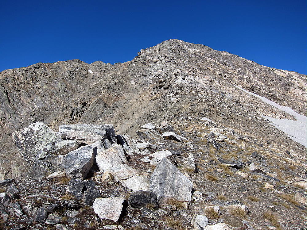
    1) Jasper Northeast Ridge – this is the long rocky ridge north of the Lake. It’s mostly a class 2 walkway up the dramatic ridge-top all the way to the summit. There are only a few spots where it approaches class 3, and there are ways around anything that seems tricky. The hardest part is climbing up to the ridge from the airplane. You will see climbers’ trails heading up through the rocks. If it’s really windy, the ridge might be rough or worse. This is an exciting climb with relatively little real exposure! At the top of the ridge you must go over a false summit to climb Jasper itself.

    Deep Lake and Jasper NE Ridge
    Deep Lake and Jasper NE Ridge

    OR

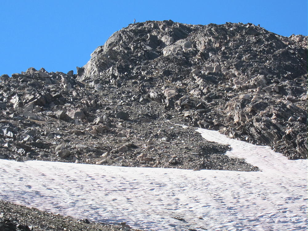
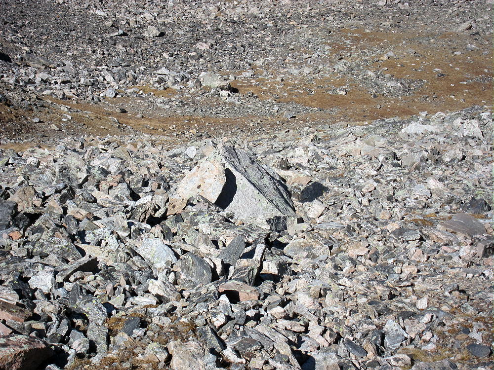
    2) Climb the valley to Jasper’s East Ridge – this pleasant ascent goes up progressively to a saddle at about 12,500 feet on the East Ridge. It’s mostly tundra at first, and it ends up on a pretty solid talus slope below the saddle. If there’s snow it would be more serious. From the saddle, head west up a climbers’ path along the ridge, and just to the right of the ridge, and climb 300 vertical feet up dirt, rocks, and scree to the northeast sub-peak. Head SW over the rocky sub-peak and climb a short slope up Jasper.

    Jasper North Slope Route
    Jasper North Slope Route
    Jasper East Ridge Route
    Jasper East Ridge Route
    Jasper East Ridge Climbers
    Jasper East Ridge Climbers

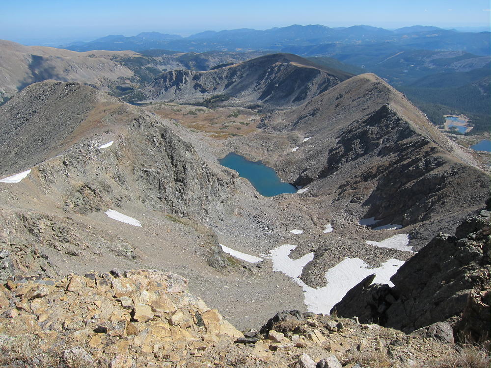
    The south and west slopes of Jasper are large grassy meadows. The West Slope and the Divide spread out for miles and miles, as far as you can see. The rugged east side of the Divide lies far below in sharp contrast to the gentler, less-glaciated western slopes.

    Jasper View to Upper Diamond Lake and SE Ridge
    Jasper View to Upper Diamond Lake and SE Ridge

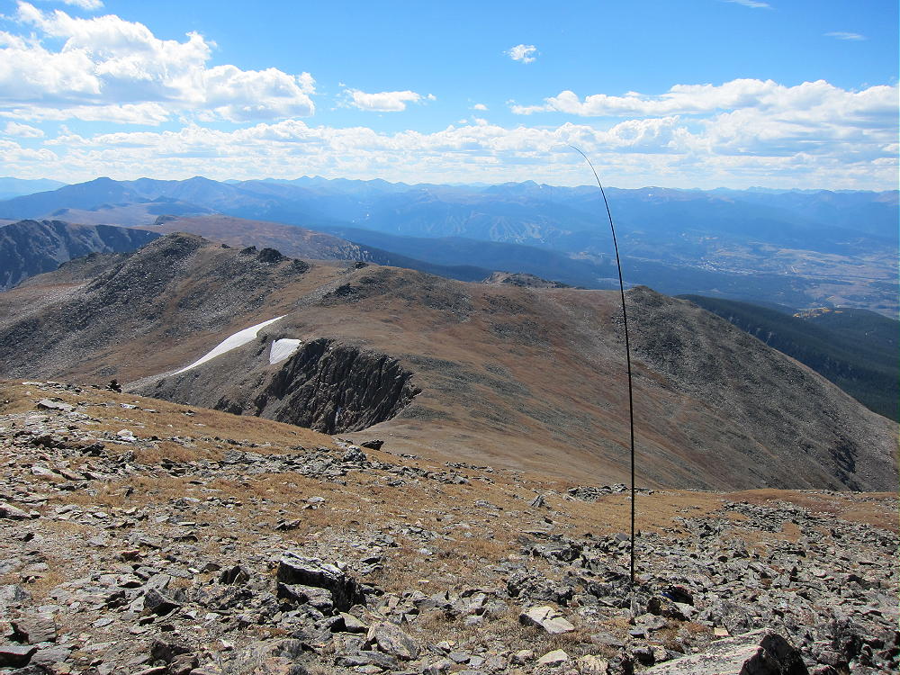
    On a good day you can activate right near the summit; I set up on the south side, far enough below the summit to keep the area clear for visitors – people do travel up here, and usually you’ll meet some fellow climbers. The people I met were intrigued with the radio set-up. I used my 20-foot pole guyed to two rocks, with a 67-foot wire running down the south slope. It was a fine HF activation, with 45 contacts on 4 bands. If the summit is windy, you may have to set up in the lee of the peak – wherever you can find cover.

    Jasper Activation on the Divide looking South
    Jasper Activation on the Divide looking South
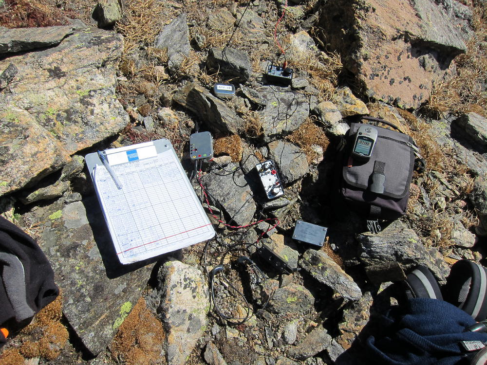
    Jasper Activation Rig
    Jasper Activation Rig

    Your best bet is to avoid this summit unless everything is just right! Bad weather up here could be deadly! This is a real mountain – don’t be fooled because it’s less than 13,000 feet high!
    I suggest descending only by a route that you have previously ascended. Most of the ridges have serious problems and may be too difficult. In particular, avoid going over Mount Neva – the craggy ridge north of Neva is difficult/technical.

    The long Southeast Ridge will work OK, provided you descend the steep north slope just southeast of Upper Diamond Lake – but the hike back to the Fourth-of-July Trailhead is much longer.  Going south along the Divide from the Jasper summit is a pleasant route, but you still have to get back to your vehicle somehow. Other descents are possible, but I say again – climb it first and descend what you know!  The routes described here via Deep Lake Cirque are the most efficient.

    It is possible to climb Jasper via Rollins Pass – Corona Pass. If you can drive to Rollins Pass from Winter Park, on the old railroad grade, park at the pass, hike north along the Divide over several smaller peaks. It’s about 4 miles over varied alpine terrain each way. Don’t try this except early on a good day. This might be the preferred route early in the summer.

    Any way you do it, activating Jasper is a SOTA Classic!

    73

    George Carey Fuller
    KX0R


    ATTENTION !! WARNING !! There are old mountaineers, and bold mountaineers… there are no old-bold mountaineers. Hiking and mountain climbing are potentially hazardous activities particularly in Colorado with its extreme elevations. I am not accepting responsibility for any death or injury resulting from activations based on my trip reports. Proper training, experience, and personal capability assessment is required – enjoy!