


W0C/SP-123
Blue Mountain
2813 m / 9230 ft
Dec 09, 2015 with N0TA
May 21, 2016 with N0TA
Feb 20, 2017 with N0TA
By KX0R
Key Points:
Blue Mountain is an easy, fun SOTA summit a few miles south of Lake George.
• Pike National Forest
• West of Colorado Springs
• Relatively easy to climb
• Short hike
• Relatively good access, even in winter
• No marked trail to the peak
• Excellent SOTA Peak
• ~ 1.0 mile round trip
• ~ 300 vertical feet
-
- Blue Mountain – Saddle and Summit from FR-244
Driving Directions:
THIS MAP is very useful for driving in the Pike National Forest.
• Drive west on Highway 24 from Colorado Springs.
• Pass through Woodland Park, Divide, and Florissant.
• Continue to the small community of Lake George.
• Turn left, southwest, on CR 96 at Lake George.
• After less than a mile, turn south on good dirt road CR 61.
• Drive about 3.3 miles on CR 61 – pass the Blue Mountain Campground, and continue south along the east side of Blue Mountain to an intersection with CR 98.
• This intersection is south of the summit, and it would be possible to park near here and climb the mountain directly, as the terrain is open.
• Head west on CR 98 for about one mile, to where two roads lead off to the right.
• The left fork goes to an obvious ranch property.
• The right fork is USFS FR-244 – it leads east toward Blue Mountain.
• If this road is dry, it’s passable in cars with adequate clearance.
• If the road’s open and in good condition, drive northeast about one mile, up near the mountain, to a turn-around at a campsite.
• This is the trailhead.
• Otherwise park farther down, and hike up the road to the trailhead.
The Hike:
• Blue Mountain is a long ridge running roughly N-S.
• The actual peak is near the south end of the ridge.
• From the end of the road, hike up toward the mountain on a jeep trail.
• The summit is on your right.
• Pass the remains of a miner’s shack.
• Continue north about 150 feet, and find a crude trail leading up to the right (south).
• Don’t follow any route farther to the north.
• Hike south up the faint, rough trail – it soon fades out
• Continue diagonally southeast up game trails through bushes to the broad saddle at 9200 feet, north of the peak
• Hike south along the ridge on a path for about 200 yards to the summit
• The route passes by some old prospect holes and a trench
• The summit is south of the diggings – a small cairn marks the top
Additional Details:
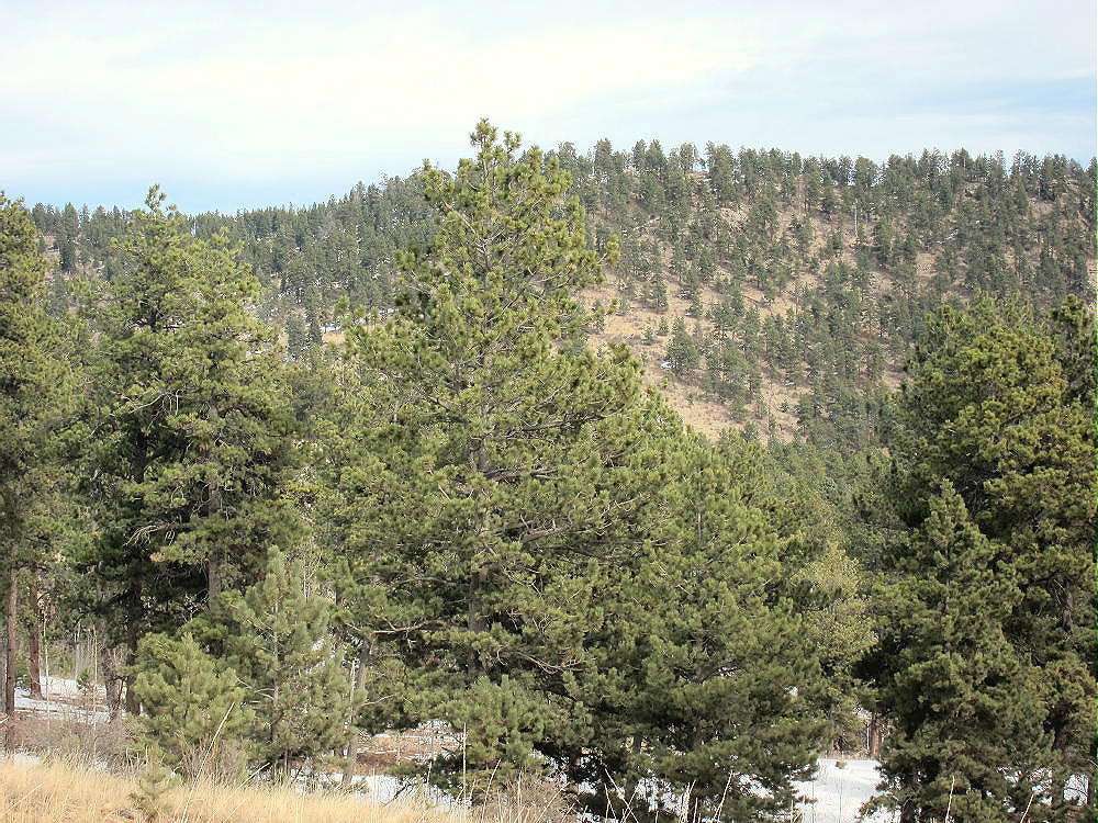
The activation zone is large, open, and pleasant, with some large pine trees. We found dry, sunny spots just south of the peak, out of the wind. This area offers nice views of Pikes Peak and the area south and west of Blue Mountain.
-
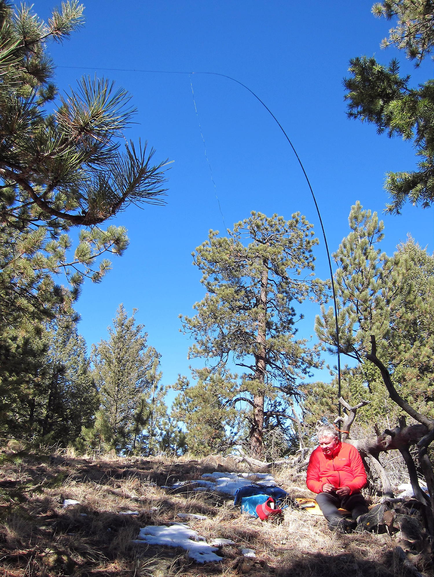
- Blue Mountain – N0TA SOTA Activation
-
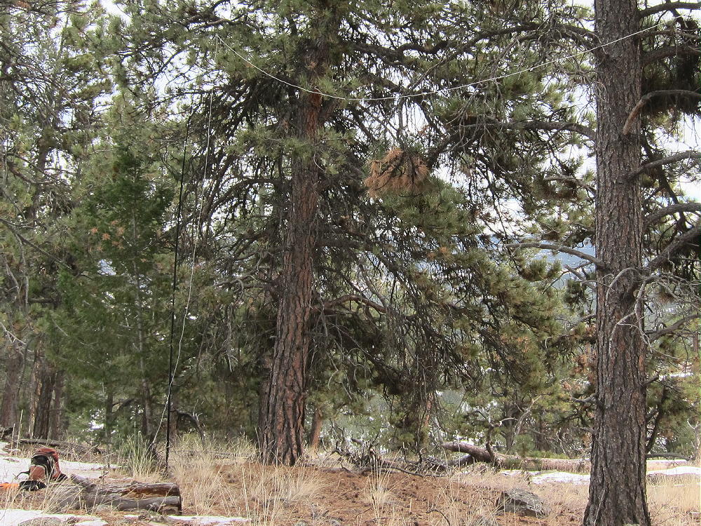
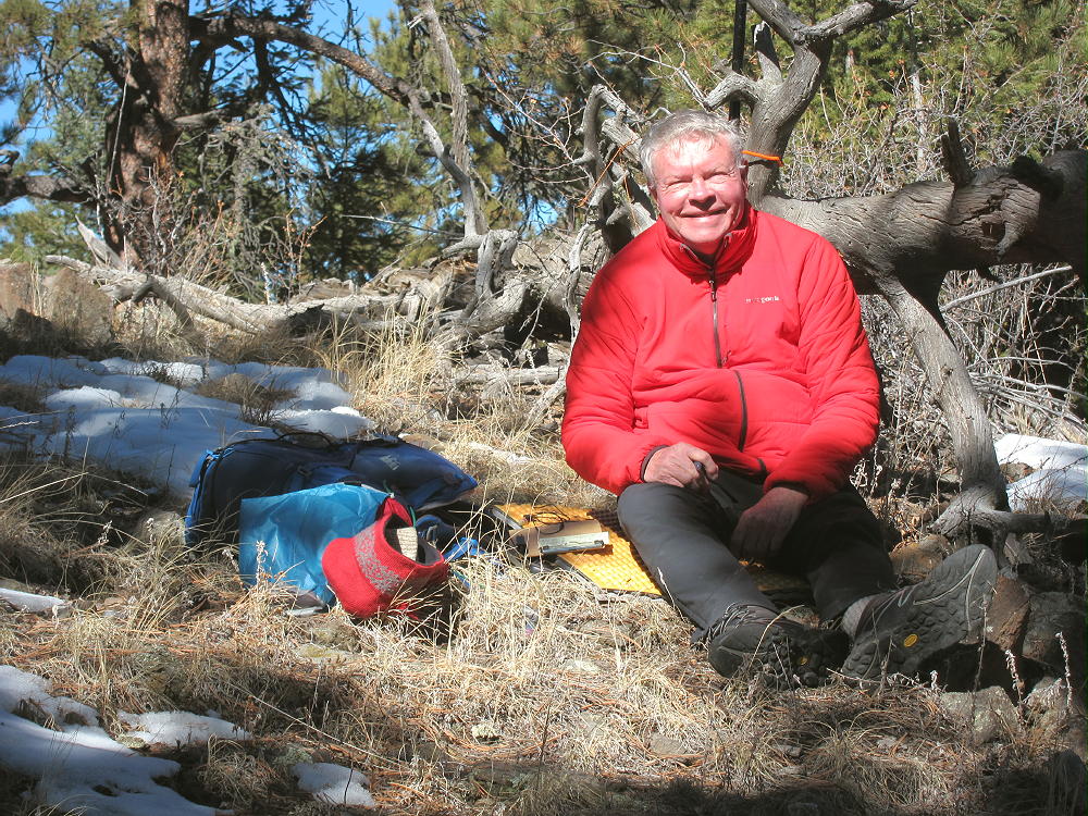
- Blue Mountain – KX0R SOTA Activation
The peak is a good radio site, and the HF noise level is low. It’s easy to set up a SOTA activation and make contacts up there. VHF/UHF coverage is probably limited to the area around Lake George, and the north side of Pikes Peak.
-
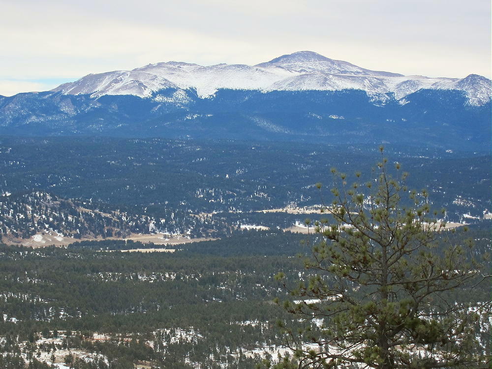
- Blue Mountain – View of Pikes Peak
Blue Mountain is close to several other SOTA peaks and might be combined with any of them for a dual or multiple activation:
9083 W0C/SP-124 – about 7 miles to the north
9036 W0C/SP-125 – about 10 miles to the north
Tappan Mountain W0C/FR-066 – about 10 miles to the north
Signal Butte W0C/FR-165 – about 11 miles to the northeast
The forest near Blue Mountain looks like a good place for hunting. Wear hunter safety orange if you go there in the fall!
73
George
KX0R
-
- Blue Mountain – N0TA Operating SOTA
![]() !! WARNING !! There are old mountaineers, and
bold mountaineers... there are no old-bold mountaineers.
Hiking and mountain climbing are potentially hazardous activities particularly in Colorado with its extreme elevations. I am not accepting responsibility for any death or injury resulting from activations based on my trip reports. Proper training, experience, and personal capability assessment is required - enjoy!
!! WARNING !! There are old mountaineers, and
bold mountaineers... there are no old-bold mountaineers.
Hiking and mountain climbing are potentially hazardous activities particularly in Colorado with its extreme elevations. I am not accepting responsibility for any death or injury resulting from activations based on my trip reports. Proper training, experience, and personal capability assessment is required - enjoy!
Pingback: Easy SOTA: Blue Mountain (W0C/SP-123) - The KØNR Radio Site