SOTA outings by KØMOS and contributors

Tag: Pikes Peak Region

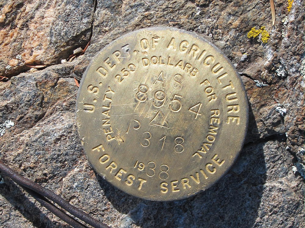
  • W0C/FR-066 (Tappan Mountain) – 2724 m / 8954 ft

    W0C/FR-066
    Tappan Mountain
    2724 m / 8954 ft
    Nov 15, 2015 – with N0TA
    Nov 11, 2016 – with N0TA

    by KX0R

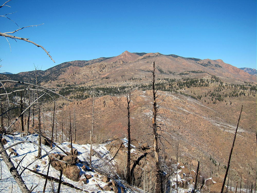
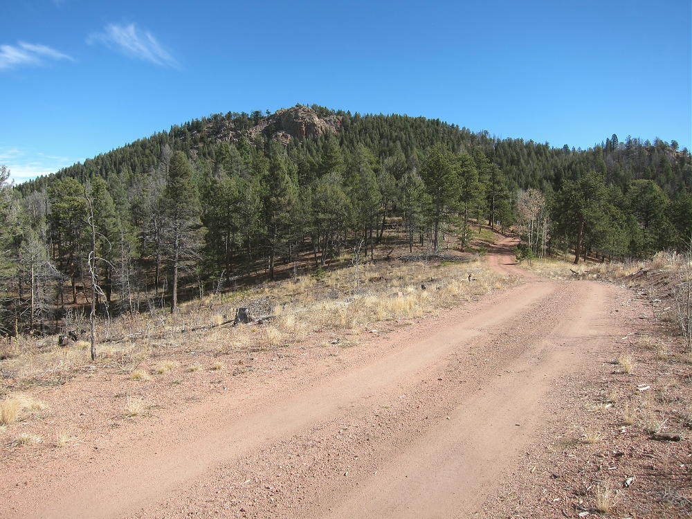
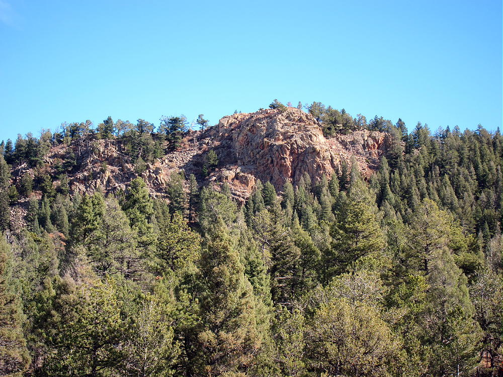
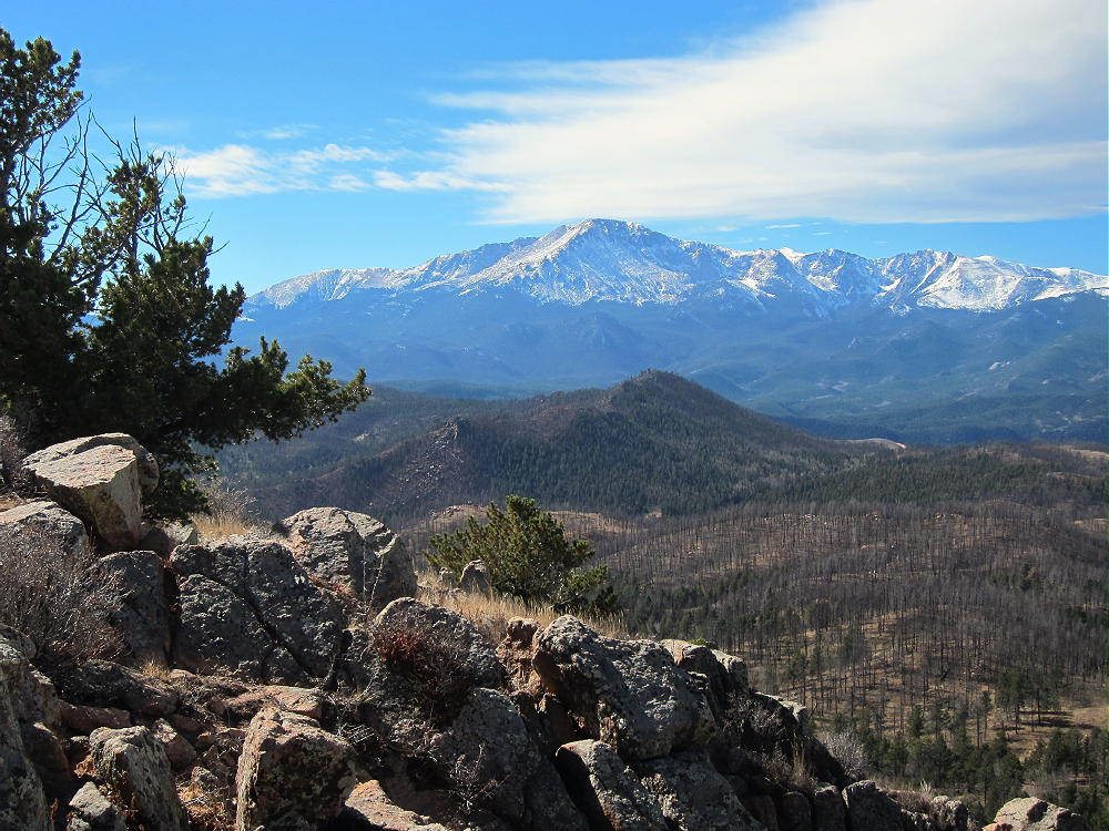
    Tappan Mountain is an easy summit in the Pike National Forest a few miles north of Lake George.

    Key Points:

    • Pike National Forest
    • Jeep road most of the way
    • No marked trail, but path to the top
    • Navigation and route-finding required
    • Nice open summit
    • ~ 1.6 miles round-trip
    • ~ 450 feet vertical
    Driving Directions:

    THIS MAP is very useful in the Pike National Forest.

    • Drive to Woodland Park on Highway 24, west of Colorado Springs
    • Continue west through Divide, Florissant, and Lake George
    • Almost 1 mile north of Lake George, turn north, right, on Highway 77, Tarryall Road
    • Follow this road up a valley north for about 5 miles
    • At 8280 feet, just before Highway 77 reaches a low pass, turn right on dirt FR-210, Platte Springs Road
    • Google Maps are inadequate for navigation in this area
    • Drive up FR-210 about ¼ mile, and turn left on FR-292. This road may not be marked with a number.
    • FR-292 climbs up a short, steep hill and then continues through open forest toward Tappan
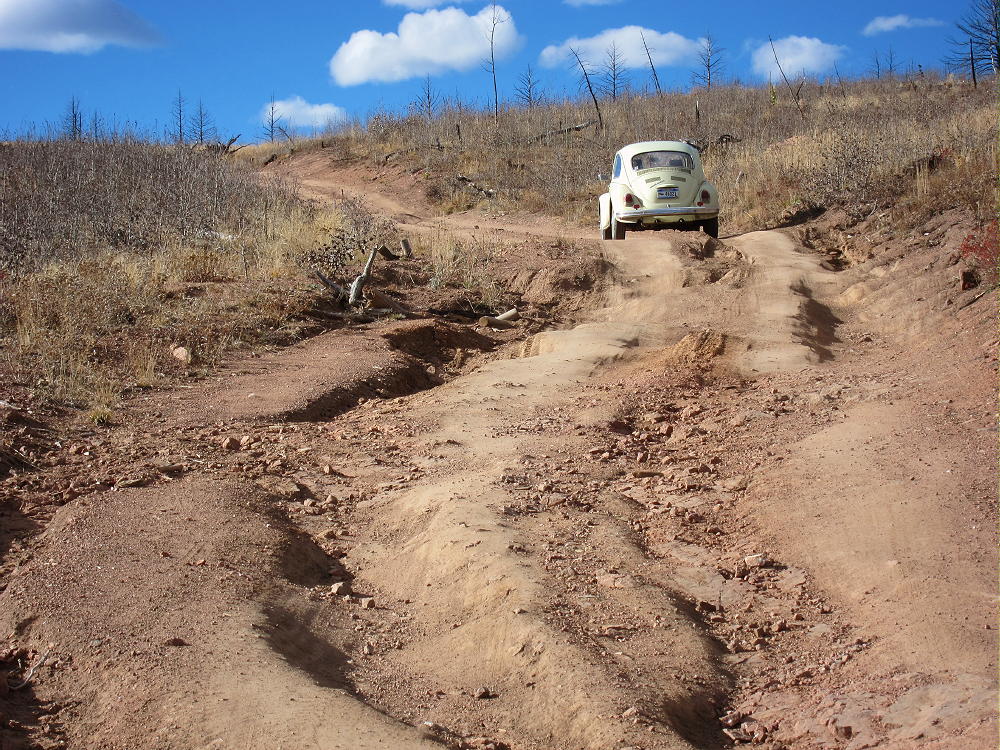
    • FR-292 is a jeep road, but 4WD may not be required, if the road’s dry and your vehicle has adequate clearance
    • Where the road splits, go left on FR-292.A
    • FR-292.A climbs up the south side of Tappan Mountain and eventually drops down a steep hill to a power line
    • Park off the road
    • If FR-292 is too rough, snowy, or muddy, park near the bottom and hike up – it’s about 1 mile to Tappan
    • FR-293 also could be used to access Tappan’s east side

    The Hike:

    • Drive or hike up near where FR-292.A reaches maximum elevation on the south side of Tappan
    • Head up the open southwest ridge toward the peak
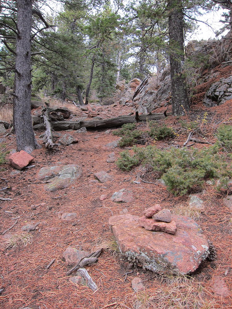
    • There’s no marked trail to the summit, but game trails provide easy access.
    • It’s also possible to hike up the northeast ridge, or even the south side.
    Additional Details:

    The roads in this area are mostly easy 4WD or 2WD with adequate clearance. If the snow is deep, it would be better to hike or snowshoe the roads than to take a chance of getting stuck back there. From the bottom of Road 210 to the top of Tappan is only about 1.5 miles each way. The road could be gated in winter at the bottom – but it wasn’t closed on various winter dates when we’ve been up there the past two years.

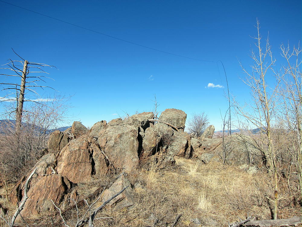
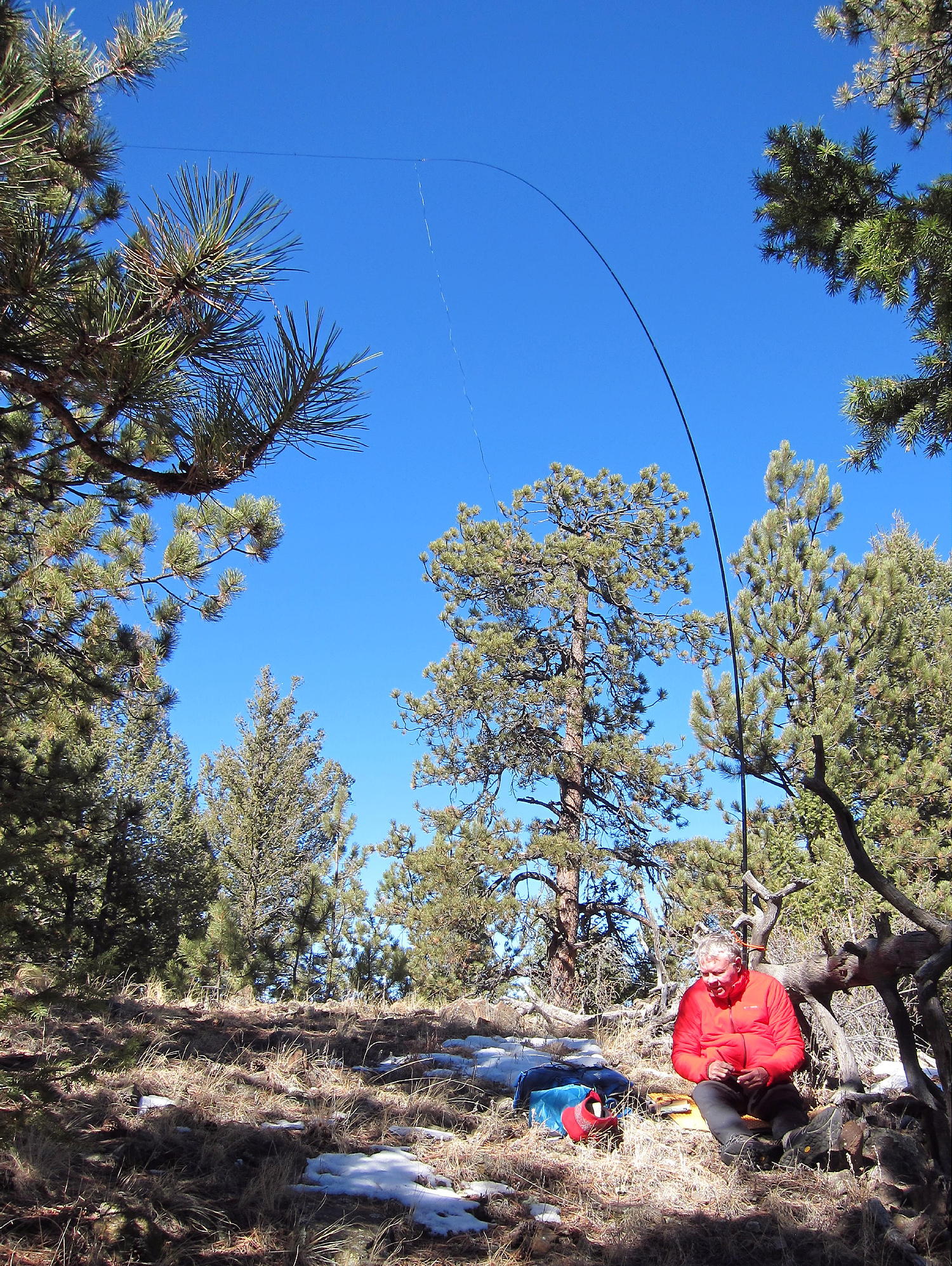
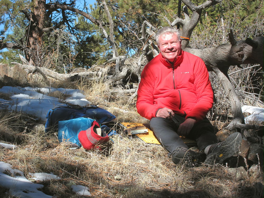
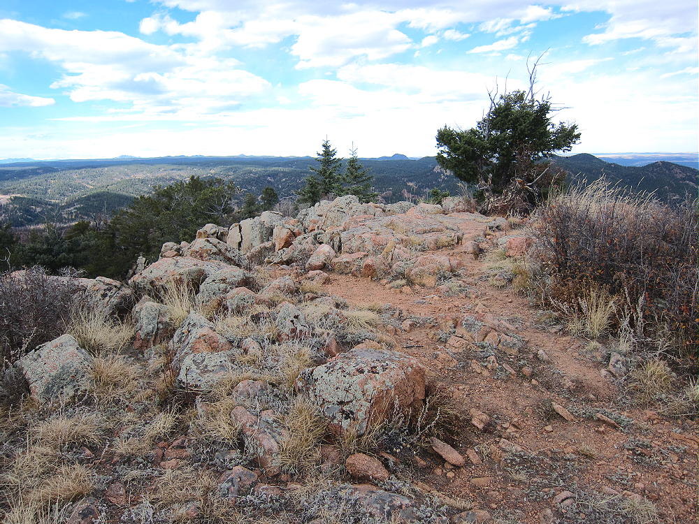
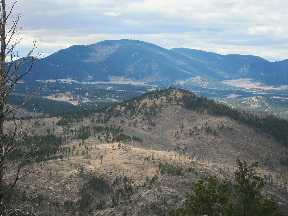
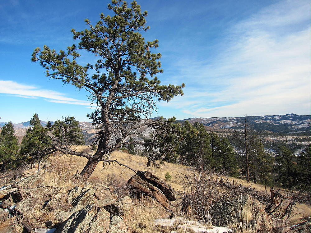
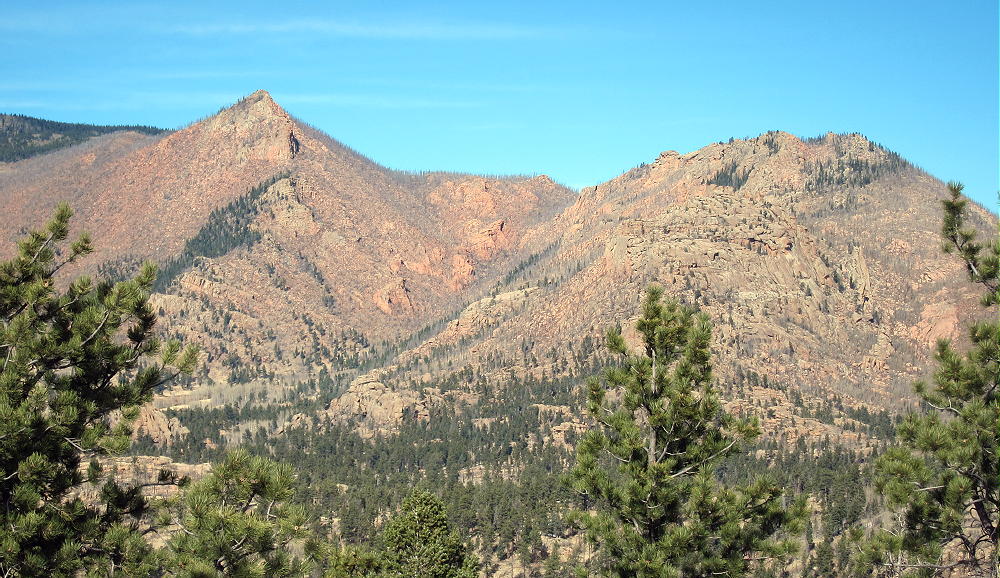
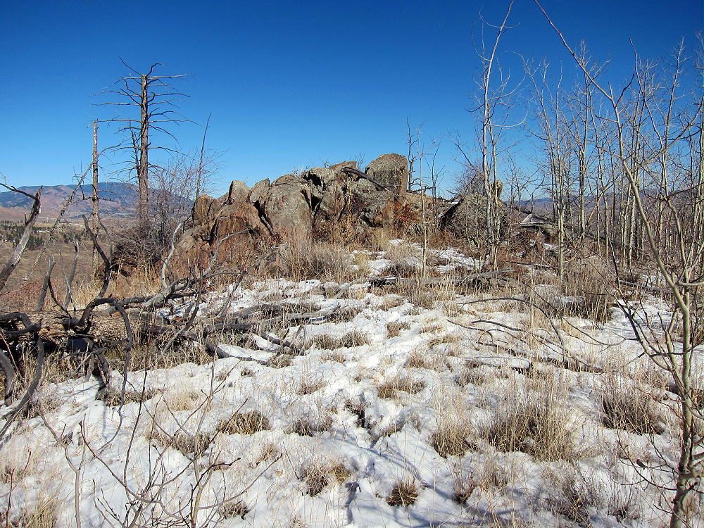
    The summit of Tappan is a rocky point on an extended ridge; the activation zone is large, open, and pleasant.
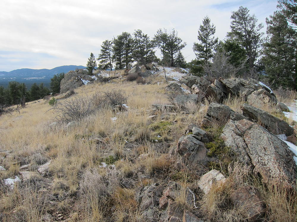
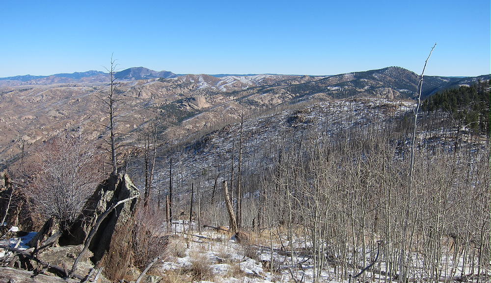
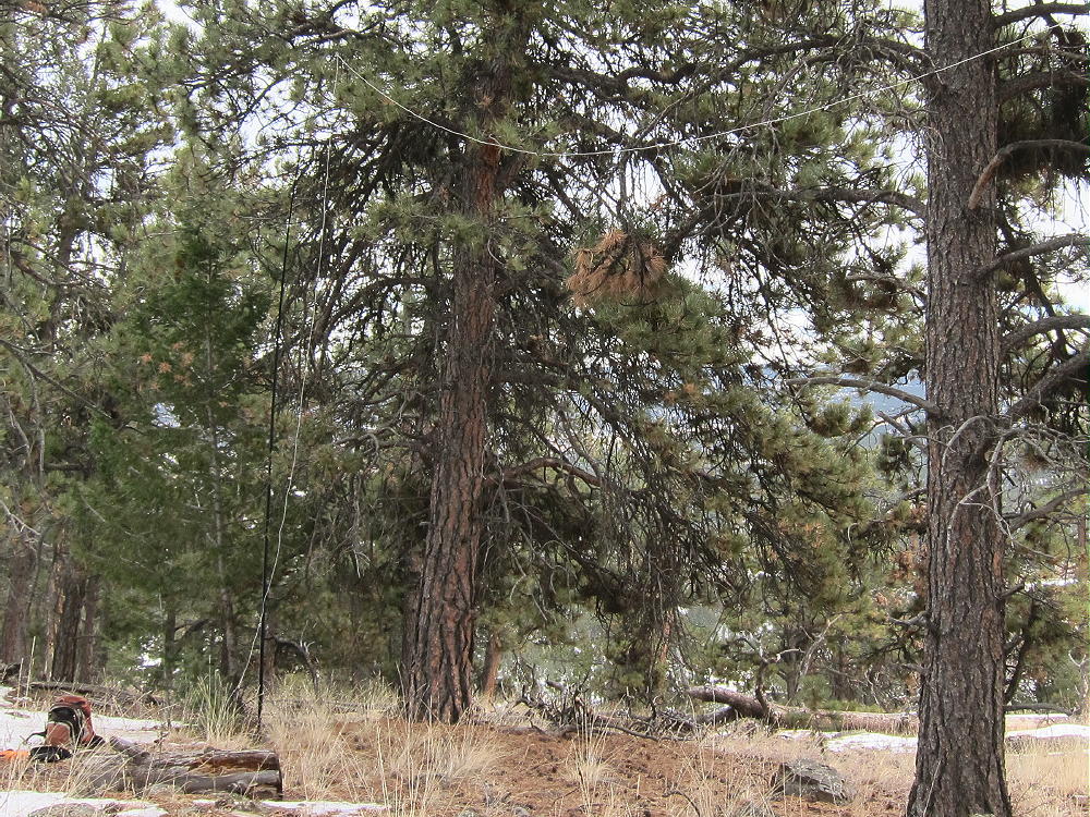
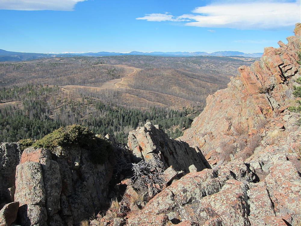
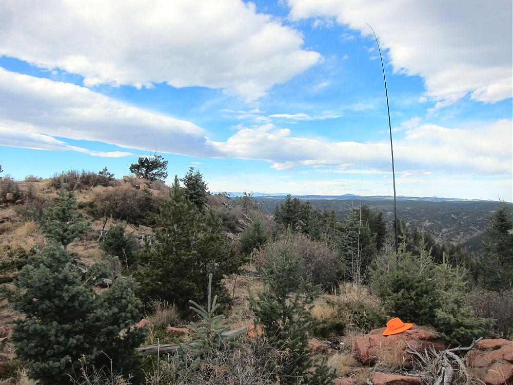
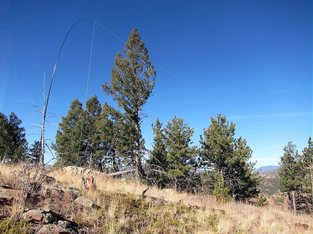
    There are many good trees and rocks to support a pole or an antenna, and there are views all around.
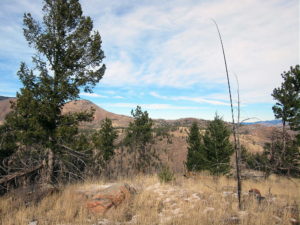
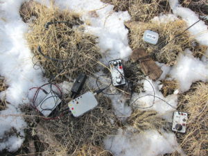
    This is an excellent HF site – there’s no development near the summit, and the power lines southwest of the peak seem quiet.
    VHF and UHF contacts will be hard to get from Tappan, due to the isolated location.

    Tappan Mountain stands close to several other SOTA peaks and might be combined with any of them for a dual or multiple activation:

    9036                W0C/SP-125   ~ 1.7 miles east
    9083                W0C/SP-124   ~ 2.6 miles southeast
    Blue Mountain   W0C/SP-123   ~ 10 miles south
    Signal Butte      W0C/FR-165   ~ 9 miles east

    9036 is the easiest to combine with Tappan, since they share road access.

    The National Forest near Tappan Mountain looks like good hunting territory – if you go there in the fall, be careful, and wear orange hunter clothing.

    73

    George
    KX0R

    ATTENTION !! WARNING !! There are old mountaineers, and bold mountaineers… there are no old-bold mountaineers. Hiking and mountain climbing are potentially hazardous activities particularly in Colorado with its extreme elevations. I am not accepting responsibility for any death or injury resulting from activations based on my trip reports. Proper training, experience, and personal capability assessment is required – enjoy!
  • W0C/SP-125 (9036) – 2754 m / 9036 ft

    W0C/SP-125
    9036
    2754 m / 9036 ft
    Nov 15, 2015 with N0TA
    Nov 6, 2016 with N0TA
    Feb 20, 2017 with N0TA

    By KX0R

    Peak 9036 is an obscure summit in the Pike National Forest north of Lake George.

    Key Points:

    Pike National Forest
    • Trail most of the way to the top
    • Relatively easy climb
    • Some deadfall near the top
    • Summit area was burned up years ago
    • Great views
    • Excellent HF Site
    • ~ 2.8 miles round trip
    • ~ 530 vertical feet

    Driving Directions:

    THIS MAP is very useful in the Pike National Forest.

    • Drive to Woodland Park on Highway 24, west of Colorado Springs
    • Continue west through Divide, Florissant, and Lake George
    • Almost 1 mile north of Lake George, turn north, right, on Highway 77, Tarryall Road
    • Follow this road up a valley north for about 5 miles
    • At 8280 feet, just before Highway 77 reaches a low pass, turn right on dirt FR-210, Platte Springs Road
    • Drive up FR-210 about ½ mile, and then take the right fork, FR-601, east
    • FR-601 requires moderate clearance, but not 4WD, unless it’s snowy or muddy
    • Follow FR-601 east for about 1 mile: around the north side of a hill, across a fenced shallow valley, to a parking area with a gate
    • This is the trailhead

    The Hike:

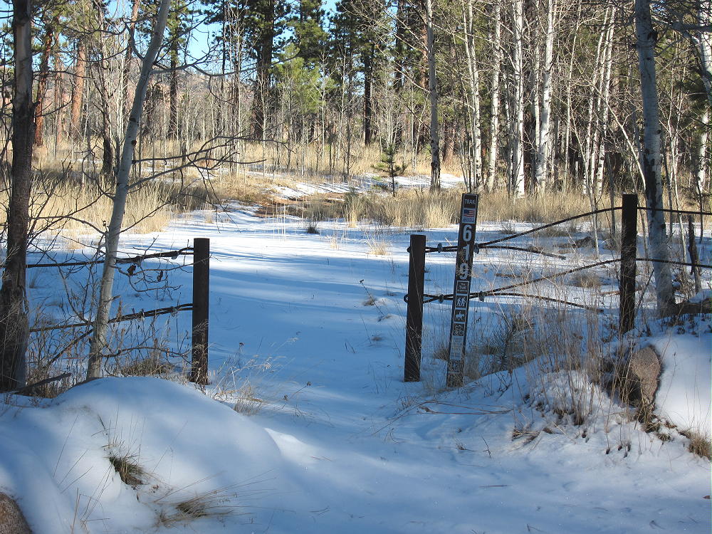
    • A relatively new trail, marked 619, heads northeast from the parking area.
    • This route is shown clearly on the Google satellite image, but not on the Google map.
    • Don’t follow the gated Platte Springs Road east down the hill
    • Trail 619 starts out flat, and then it ascends northeast up a wide draw.

    • At the top of the draw, the trail reaches a saddle between the forested false summit on the east, and the actual summit farther west.
    • Before the saddle, leave the trail and climb northwest up a draw to the ridge
    • Hike west along the ridge less than 0.2 miles to the summit
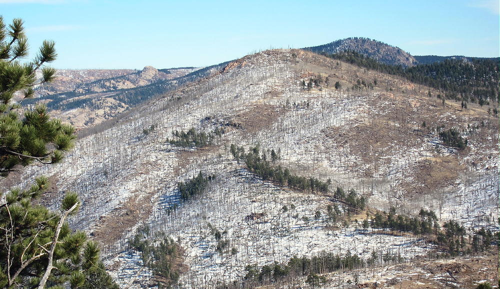
    • The forest near the top was burned by fire.
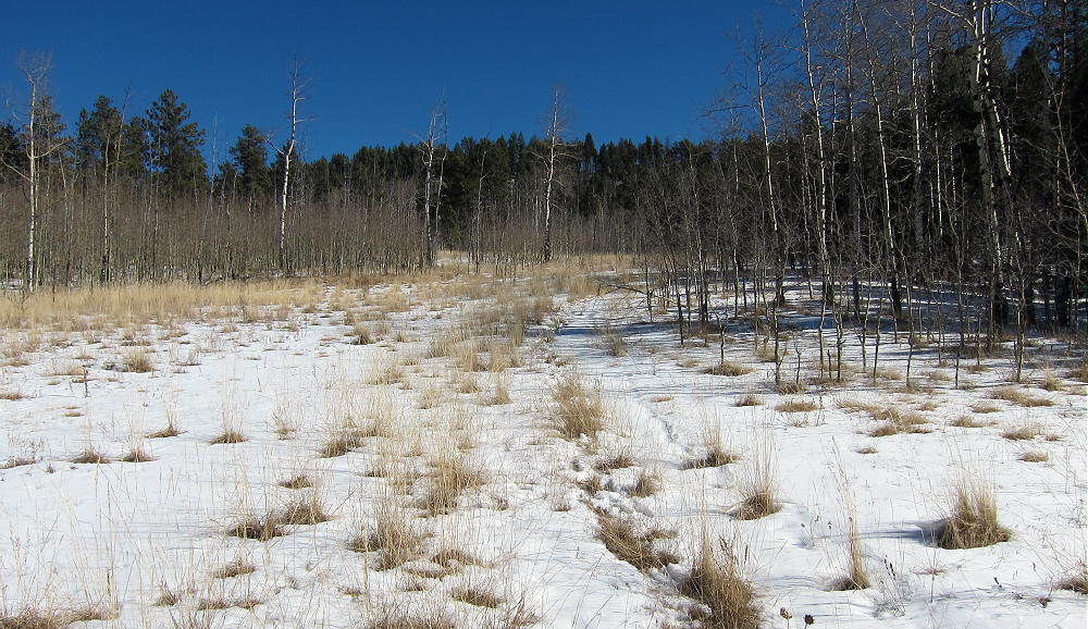
    • Follow game and cattle trails around the aspen thickets

    Additional Details:

    The roads in this area are mostly easy 4WD or 2WD, with adequate clearance. If there’s considerable snow, it would be better to hike or snowshoe in than to risk getting stuck back there. When John Reilly N0TA and I climbed this mountain in mid-November 2015, it was fun, despite some snow on the roads and the trail.

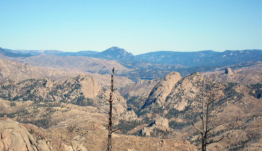
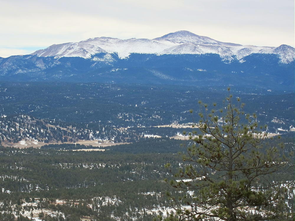
    Great views spread out for miles in all directions. Chessman Reservoir is visible in the South Platte Canyon several miles to the northeast; Devils Head and Long Scraggy Peak stand many miles beyond.  Badger Mountain stands 8.5 miles to the west.

    The summit of 9036 is a rocky knob, and numerous trees and rocks are available to support a pole or an antenna.

    Some shelter from wind is provided by various large rocks. We found this to be an excellent RF-quiet HF site in 2015 and 2016, but in 2017 we heard significant man-made noise on 7 MHz. Nevertheless, this is a fine SOTA site, and we both made plenty of HF CW contacts on all three of our activations up there.

    The isolated location of 9036 suggests that VHF and UHF contacts may be hard to get.

    Peak 9036 is close to several other SOTA peaks and might be combined with any of them for a dual or multiple activation:

    Peak 9083 W0C/SP-124            2.6 miles south
    Tappan Mountain W0C/FR-066  1.75 miles west
    Blue Mountain W0C/SP-123      10.3 miles south
    Signal Butte W0C/FR-165          7.3 miles east

    The forest near Peak 9036 looks like good hunting territory – in the fall, be careful, and wear hunter orange clothing!

    73

    George
    KX0R


    ATTENTION !! WARNING !! There are old mountaineers, and bold mountaineers… there are no old-bold mountaineers. Hiking and mountain climbing are potentially hazardous activities particularly in Colorado with its extreme elevations. I am not accepting responsibility for any death or injury resulting from activations based on my trip reports. Proper training, experience, and personal capability assessment is required – enjoy!
  • W0C/SP-123 (Blue Mountain) – 2813 m / 9230 ft

    W0C/SP-123
    Blue Mountain
    2813 m / 9230 ft
    Dec 09, 2015 with N0TA
    May 21, 2016 with N0TA
    Feb 20, 2017 with N0TA

    By KX0R

    Key Points:

    Blue Mountain is an easy, fun SOTA summit a few miles south of Lake George.

    Pike National Forest
    • West of Colorado Springs
    • Relatively easy to climb
    • Short hike
    • Relatively good access, even in winter
    • No marked trail to the peak
    • Excellent SOTA Peak
    • ~ 1.0 mile round trip
    • ~ 300 vertical feet

    Driving Directions:

    THIS MAP is very useful for driving in the Pike National Forest.

    • Drive west on Highway 24 from Colorado Springs.
    • Pass through Woodland Park, Divide, and Florissant.
    • Continue to the small community of Lake George.
    • Turn left, southwest, on CR 96 at Lake George.
    • After less than a mile, turn south on good dirt road CR 61.
    • Drive about 3.3 miles on CR 61 – pass the Blue Mountain Campground, and continue south along the east side of Blue Mountain to an intersection with CR 98.
    • This intersection is south of the summit, and it would be possible to park near here and climb the mountain directly, as the terrain is open.
    • Head west on CR 98 for about one mile, to where two roads lead off to the right.
    • The left fork goes to an obvious ranch property.
    • The right fork is USFS FR-244 – it leads east toward Blue Mountain.
    • If this road is dry, it’s passable in cars with adequate clearance.
    • If the road’s open and in good condition, drive northeast about one mile, up near the mountain, to a turn-around at a campsite.
    • This is the trailhead.
    • Otherwise park farther down, and hike up the road to the trailhead.

    The Hike:

    • Blue Mountain is a long ridge running roughly N-S.
    • The actual peak is near the south end of the ridge.
    • From the end of the road, hike up toward the mountain on a jeep trail.
    • The summit is on your right.
    • Pass the remains of a miner’s shack.
    • Continue north about 150 feet, and find a crude trail leading up to the right (south).
    • Don’t follow any route farther to the north.
    • Hike south up the faint, rough trail – it soon fades out
    • Continue diagonally southeast up game trails through bushes to the broad saddle at 9200 feet, north of the peak
    • Hike south along the ridge on a path for about 200 yards to the summit
    • The route passes by some old prospect holes and a trench
    • The summit is south of the diggings – a small cairn marks the top

    Additional Details:

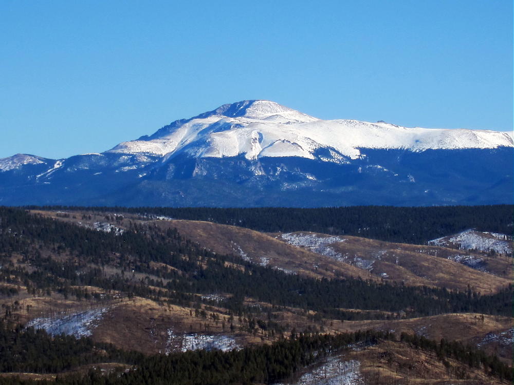
    The activation zone is large, open, and pleasant, with some large pine trees. We found dry, sunny spots just south of the peak, out of the wind. This area offers nice views of Pikes Peak and the area south and west of Blue Mountain.

    The peak is a good radio site, and the HF noise level is low.  It’s easy to set up a SOTA activation and make contacts up there.  VHF/UHF coverage is probably limited to the area around Lake George, and the north side of Pikes Peak.

    Blue Mountain is close to several other SOTA peaks and might be combined with any of them for a dual or multiple activation:

    9083 W0C/SP-124 – about 7 miles to the north
    9036 W0C/SP-125 – about 10 miles to the north
    Tappan Mountain W0C/FR-066 – about 10 miles to the north
    Signal Butte W0C/FR-165 – about 11 miles to the northeast

    The forest near Blue Mountain looks like a good place for hunting. Wear hunter safety orange if you go there in the fall!

    73

    George
    KX0R


    ATTENTION !! WARNING !! There are old mountaineers, and bold mountaineers… there are no old-bold mountaineers. Hiking and mountain climbing are potentially hazardous activities particularly in Colorado with its extreme elevations. I am not accepting responsibility for any death or injury resulting from activations based on my trip reports. Proper training, experience, and personal capability assessment is required – enjoy!
  • W0C/FR-052 (Ormes Peak) – 2965 m / 9727 ft

    W0C/FR-052
    Ormes Peak
    2965 m / 9727 ft
    Nov 1, 2015
    May 28, 2016

    By KX0R

    Ormes Peak is a relatively accessible SOTA peak located in the Rampart Range northwest of Colorado Springs.

    Key Points:

    Pike National Forest
    • Access via forest roads
    • Good unmarked social trail
    • Easy hike
    • Minimal route-finding required
    • Roads closed in winter
    • ~ 0.4 mile one way
    • ~ 375 vertical feet

    Driving Directions:

    Start by driving to the Rampart Range Road FR 300:

    Colorado Springs Access:

    • Start at Garden Drive, at the northwest corner of Garden of the Gods Park, north of Highway 24 in Colorado Springs.
    • The bumpy, heavily-used gravel road FR 300 ascends the range via numerous switchbacks.
    • FR 300 then leads northwest along the Rampart Range.
    • After ascending for several winding miles, the road levels off somewhat.
    • It continues north along the ridge at about 9200 feet.
    • About 1-1/4 miles north of the turn to Eagle Lake, marked FR 303 heads .northeast at an intersection at about 9320 feet.
    • FR 303 is a good 2WD dirt road.
    • Follow FR 303 for about ¾ mile to a fork.
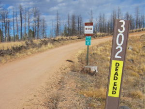
    • Turn right on FR 302 and follow it southeast toward Ormes Peak.

    Woodland Park Access:

    • From Highway 24 at Woodland Park, turn north on Baldwin Street at a stop light at the east side of town.
    • This becomes Road 22 and is called “Rampart Range Road” locally.
    • Follow this paved road about 3 miles, northeast and then east, up into a canyon.
    • Loy Creek Road forks off to the right.
    • Follow Loy Creek Road about one mile up to the actual Rampart Range Road FR 300.
    • Turn right, south, on the Rampart Range Road FR 300.
    • Follow FR 300 for about 6 miles, well past the marked road to Rampart Range Reservoir.
    • Marked FR 303 heads northeast at an intersection at about 9320 feet
    • FR 303 is a good 2WD dirt road.
    • Follow FR 303 about ¾ mile to a fork.
    • Turn right on FR 302 and follow it southeast toward Ormes Peak.

    Regardless of how you drive there:

    • Follow Road 303 and then FR 302 up over a little hill and down a gully toward Ormes Peak, which is visible to the east.
    • If this road is wet or snowy, 4WD may be required. The section where the road leads down has bad drainage and can become muddy.
    • If the road is muddy or snowy, it may still provide a good hiking route to Ormes – the distance is only about a mile from the 2WD section of the road to the south side of Ormes.
    • If the FR 302 is dry, it may be passable in cars with adequate clearance.

    Note: in May of 2016 the muddy spot had an official “Road Closed” sign, but a few people were driving 4WD vehicles through the mud or around it. If the road is closed, park back up at the top of the hill west of the closure and hike in.

    • FR 302 is good east of the muddy section – it contours around the southwest, south, and east sides of the mountain.

    • Follow this FR 302 to a point about 0.3 mile southwest of the summit
    • Find a small side road leading north up into the woods on the left (north) side of FR 302.
    • This is the only such road on this side of the peak.
    • The only marking is a small sign with a letter “P”, indicating that it’s OK to park there.
    • Follow the little side road up to a large campsite on a low ridge.
    • Continue east along the ridge to a second campsite; then follow a faint social trail east up the hill toward the summit.
    • This trail gradually gets steeper as it ascends.
    • Occasional cairns mark the route as it approaches and climbs the southwest side of the peak.

    • The path leads north up a sloping ramp through some rocks to the top.
    • The actual summit is a short distance up to the north.
    • This route measures about 0.4 miles, with about 375 vertical feet of gain, from FR 302 to the summit.

    There’s also an OK route up the moderate southeast ridge of Ormes.

    • There’s a large marked parking spot where the road bends sharply around the southeast ridge toward the east side.
    • Hike northeast along the partially-burned ridge toward the summit.
    • There’s no marked trail, but game trails lead through the open forest.
    • The south ridge is rocky near the top.
    • Skirt around the outcrops as required.
    • Near the top, hike along the west side of the ridge.
    • A small trail is marked with cairns (see above).
    • The path leads north up a sloping ramp through some rocks to the peak.
    • The actual summit is a short distance up to the north.
    • This route to the top is about 2/3 mile from the road, with a vertical gain of about 350 feet.

    The top of Ormes Peak is mostly open, with fine views in several directions. Pikes Peak stands high to the south, Devils Head is up north, and Mount Herman rises northeast above the Plains. Thunder Butte W0C/FR-048 is lined up with nearby Rampart Range Reservoir and some alpine peaks on the other side of South Park, way out to the northwest. Some of the Collegiate Peaks, including Mount Princeton, are visible on the horizon.  Huge burned areas stand dead, killed by the Waldo Canyon Fire southeast of the peak.

    The SOTA Activation Zone is large; there are useful trees and many bushes. I found a pleasant spot to set up my gear southeast of the peak. Setting up on top would be OK if the weather’s ideal.

    Ormes Peak is an excellent HF summit, with no close development; the RF noise level is low. It also is fine VHF/UHF peak – it has coverage of populated areas in and near Colorado Springs, as well as large areas of the Plains.

    Ormes could be combined with other SOTA peaks nearby for a dual activation:

    Devils Head W0C/FR-051
    Bennett Mountain W0C/FR-087
    Mount Herman W0C/FR-063

    Ormes has relatively good access in late spring, summer, and fall.  It’s easy to climb and activate, and it offers a pleasant summit not visited by many people. Give it a try!

    73

    George
    KX0R


    ATTENTION !! WARNING !! There are old mountaineers, and bold mountaineers… there are no old-bold mountaineers. Hiking and mountain climbing are potentially hazardous activities particularly in Colorado with its extreme elevations. I am not accepting responsibility for any death or injury resulting from activations based on my trip reports. Proper training, experience, and personal capability assessment is required – enjoy!