


W0C/SR-035
Mount Flora
3999 m / 13146 ft
August 29, 2013 First Activation
July 5, 2014 Second Activation
By KX0R
Mount Flora is a classic SOTA peak on the Continental Divide west of Denver. This summit is relatively easy to climb via the Continental Divide Trail (CDT) from the trail-head at 11,300 foot Berthoud Pass. To reach Berthoud Pass, drive west of Denver on I-70 and exit northwest toward Winter Park on Route 40. Park on the east side of the highway at the Pass; there are facilities there.
Follow the signs for the CDT. The trail starts up a gated dirt road behind the parking area on the east side of the Pass. The road leads up to a microwave facility on the Divide. Part way up to the facility, at a sharp switchback at about 11,700 feet, the CDT heads north off the dirt road at a signed junction. Leave the road and follow the CDT up across the tundra meadows to the Divide. This is a good, efficient trail. Do not continue up the road to the microwave facility on Colorado Mines Peak.
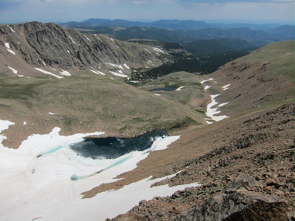
Note that Google Maps show only the route going up to Colorado Mines Peak and then along the Divide. The new trail is not shown on Google Maps, but this trail is shown clearly on the Google satellite images when zoomed in. From where the trail reaches the Divide at about 12,150 feet, the route climbs progressively northeast for about 1-1/2 miles to Mount Flora. This section of the Divide is pleasant and easy to hike in good weather. There are spectacular views in all directions; Ethel Lake enhances the scene below the steep east side of Flora.
-
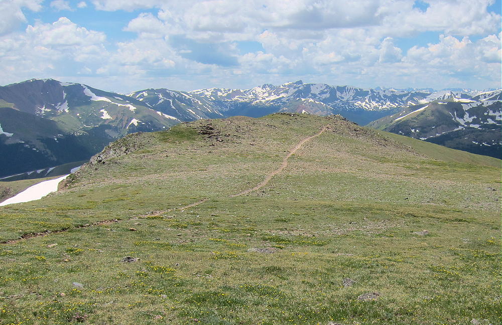
- CDT Route along Divide South of Flora
-
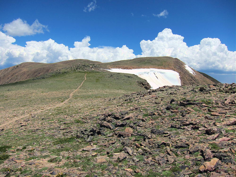
- CDT Route toward Mount Flora
-
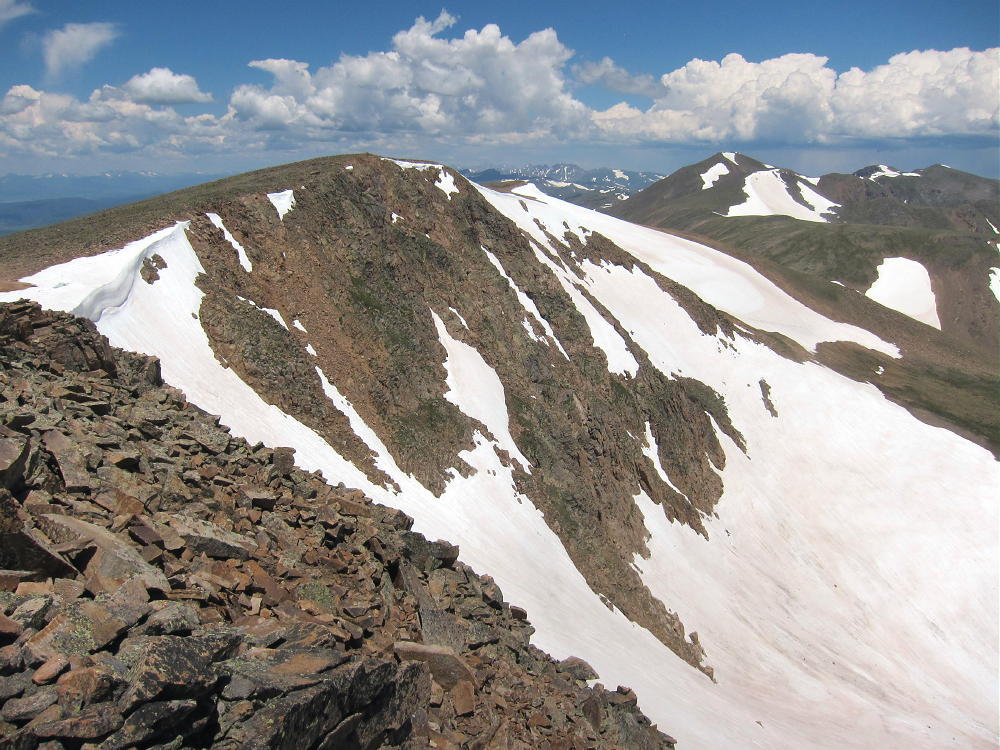
- Mount Flora North Summit with Parry Behind
The trail is about 3.5 miles one way from Berthoud Pass to Mount Flora, with a vertical gain of about 1800 feet.
Mount Flora has two summits about 1000 feet apart horizontally. On the Google satellite image from the SOTA summits page for Mount Flora, the SOTA summit is shown by a red balloon marker on the NORTHERN summit; however, Google Maps shows the SOUTHERN summit as the peak! The USGS Empire quadrangle also shows the southern summit as the peak. There is a cairn near, but not on, the southern summit – this cairn is probably a trail marker.

Mount Flora North Summit to South Summit
When I first climbed Flora, I pondered which summit was the real summit. The summits look about the same height, and they’re too far apart to judge by eye. Even though the northern summit requires a few extra minutes of hiking, I decided to go there. My GPS was running the whole time, and I checked the altitudes of both bumps on the mountain. On the first pass it appeared that the northern summit is a few feet higher, so I activated that point. GPS is not very accurate for altitude, but my GPS has a barometric altimeter that effectively integrates the altitude data over several minutes. Now I have been up to Flora twice with the GPS, with four trips from one summit to the other, and my GPS data indicates:
1) The northern summit of Flora is the real summit.
2) The difference in height is only about 10 feet
3) The minimum point on the saddle between the summits is within the Activation Zone by about 10 feet
4) Both summits are in the very large Activation Zone
Therefore – it does not matter which summit you activate for SOTA!
Each summit appears higher than the other when viewed from the other.
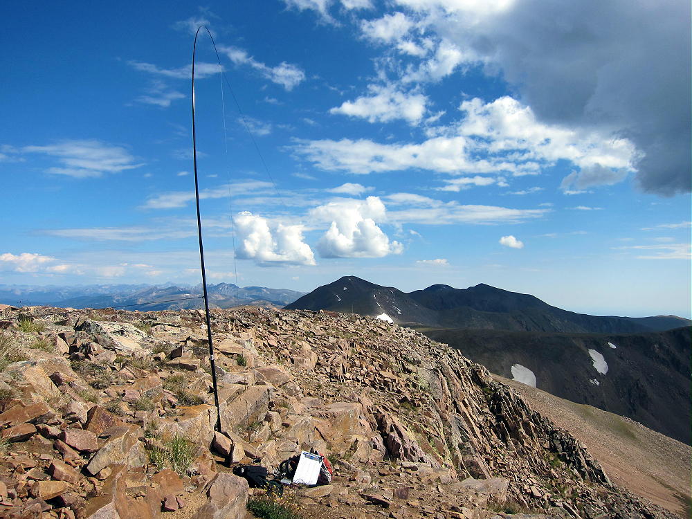
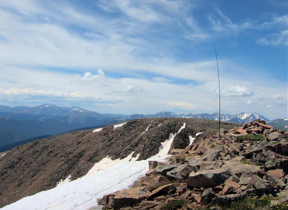
The northern summit sees fewer visitors than the southern summit, which most visitors believe is the real summit. The northern summit is more private and has a spectacular view down to Ethel Lake. There is a pile of rocks on the summit that provides some shelter from the west wind, and there is a convenient spot to set up just below the rock pile, close to the cliff above the cirque, but wide enough to be safe. I guyed my pole to the rocks and suspended my wire above the cliff edge to the north.
-
- Mount Flora First Activation
-
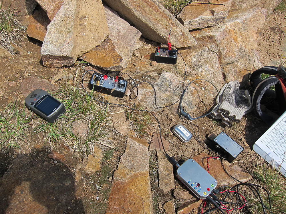
- Mount Flora First Activation Gear
-
- Mount Flora Second Activation 67′ Wire
-
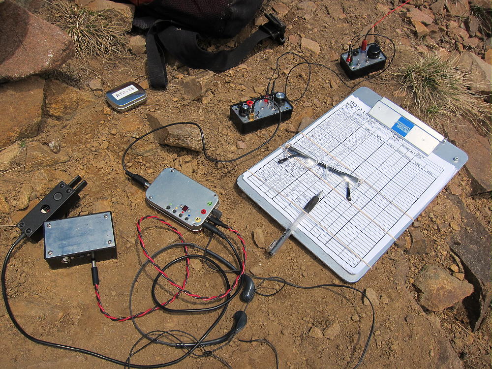
- Mount Flora Second Activation Gear
-
- Mount Flora Activation Site on Divide
-
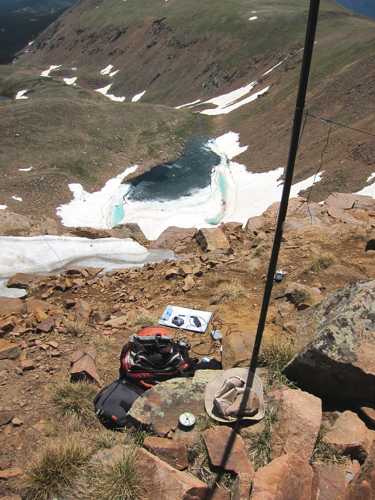
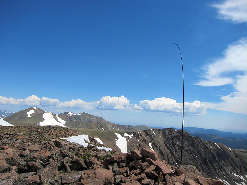
- Mount Flora Activation Site High above Ethel Lake
This is a fine radio site for HF as well as VHF/UHF. It’s a SOTA Classic!
If you decide to climb Mount Flora, be sure to check the weather forecast and get an early start. The Divide is where thunder storms form, and Mount Flora is the highest point for several miles.
George Carey Fuller
KX0R
-

- Sky Pilots on Flora
-
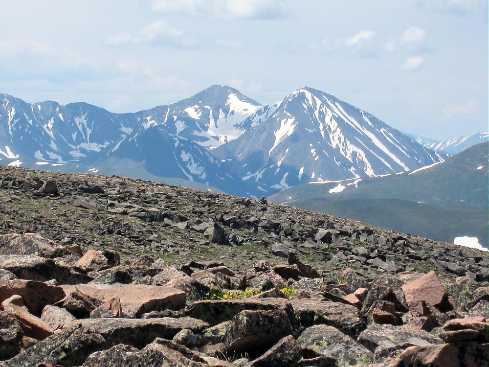
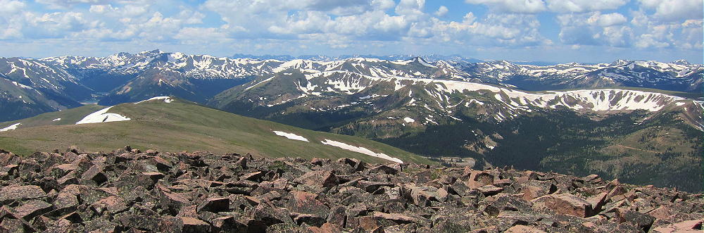
- Gray and Torreys from near Mount Flora
-
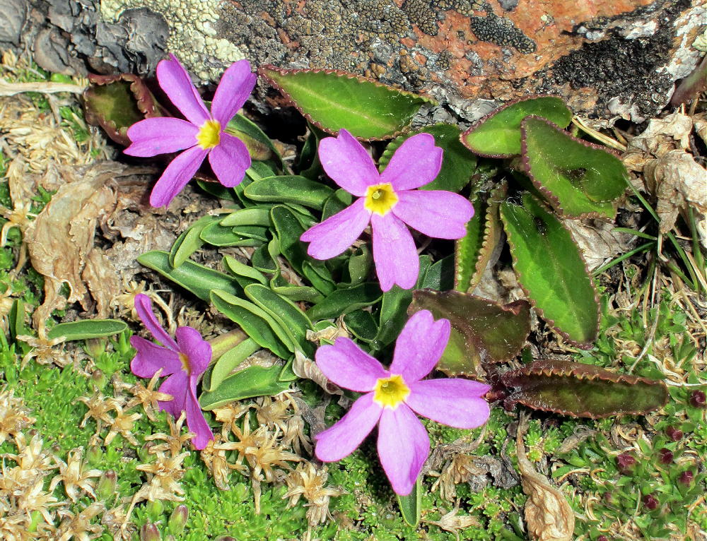
- Alpine Primrose on Flora
-
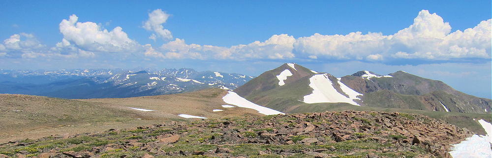
- Mount Flora View North
-
- Mount Flora Cirque and Ethel Lake Looking East
-
- Mount Flora View Southwest along Divide
-
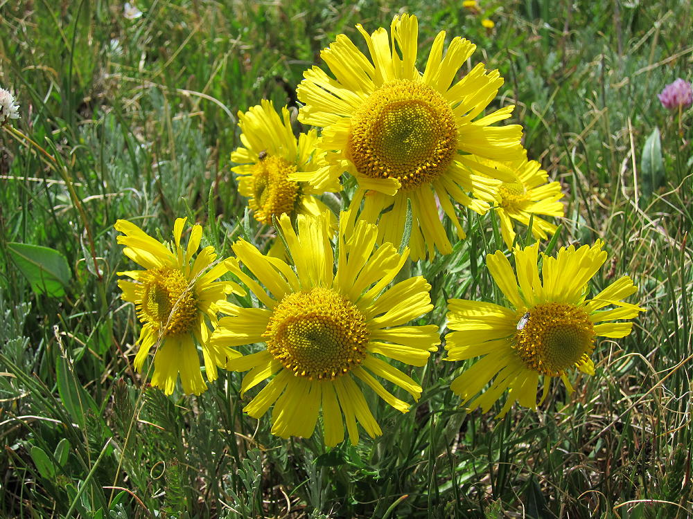
- Alpine Sunflowers on Mount Flora
-
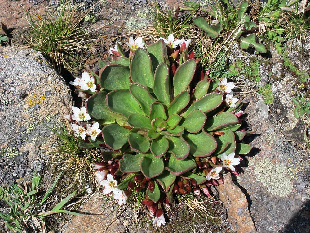
- Alpine Spring Beauties on Mount Flora
-
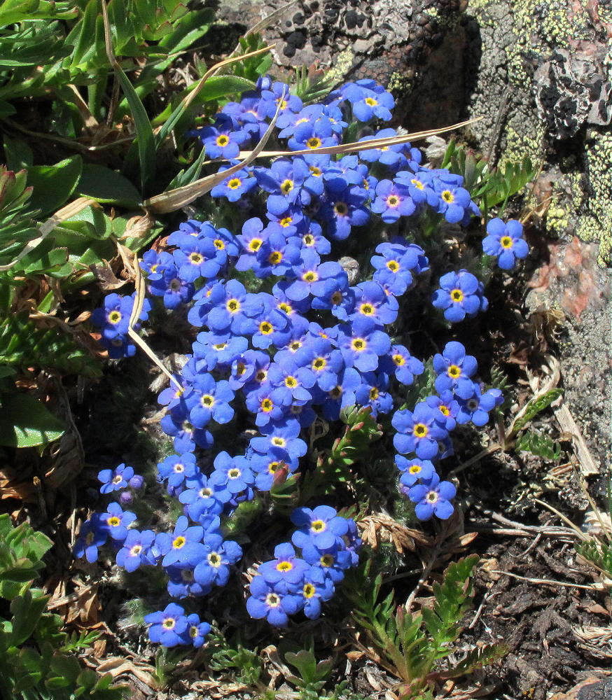
- Alpine Forget-Me-Nots on Mount Flora
![]() !! WARNING !! There are old mountaineers, and
bold mountaineers... there are no old-bold mountaineers.
Hiking and mountain climbing are potentially hazardous activities particularly in Colorado with its extreme elevations. I am not accepting responsibility for any death or injury resulting from activations based on my trip reports. Proper training, experience, and personal capability assessment is required - enjoy!
!! WARNING !! There are old mountaineers, and
bold mountaineers... there are no old-bold mountaineers.
Hiking and mountain climbing are potentially hazardous activities particularly in Colorado with its extreme elevations. I am not accepting responsibility for any death or injury resulting from activations based on my trip reports. Proper training, experience, and personal capability assessment is required - enjoy!
I just hiked Mt. Flora and saw the two peaks in question. When you were there, was there a rod poking out of a cairn on the edge of the peak farther from Colorado Mines Peak? I took that notable rod as confirmation I was on the correct Mr. Flora peak.
Yes, that’s what I think is the real summit – the one with the rod.
KX0R
George, if you’re still reading this years later, I am very glad to read your post. We are hiking Mount Flora next week and we’ll be sure to walk over to the north summit to make sure we really made it to the top! Best regards. (I was a ham as a boy years ago, N1CCU.)
Looking at a topo map it is clear that the ‘south summit’ is the peak of Mount Flora–its the top of a mountain. The ‘north summit’ is also above 13,100′ on the topo map, so it may be higher than the south summit. But it does not appear to be the peak of a mountain. (At least this is my amateur opinion.) In any case, on our hike we will be sure to get to both of them!
https://www.topozone.com/colorado/clear-creek-co/summit/mount-flora/
I took some measurements today. Granted it was only through my phone’s GPS sensor, but readings seemed pretty stable, and were based on 15-17 satellites at a time. For each of the peaks I placed the phone on the highest structure, that is on top of their respective cairns/shelters (these structures are about 3ft tall). South peak: 13,149ft. North peak: 13,160ft. Saddle in between: 13,088ft. This would imply that both of the high points, as well as the areas around them (including as low as the saddle) are within the activation zone (difference of no more than 25m ~ 82ft).