


W0C/SP-070
11356
3461 M / 11356 ft
Sep 5, 2015 First Activation
July 23, 2016 with N0TA
Peak 11356 stands north of Highway 285, a few miles east of Kenosha Pass.
Key Points:
• Pike National Forest
• Access via Hall Valley
• Hike up Burning Bear Trail
• No marked trail to the top
• Navigation and route-finding required
• Easy off-trail hike
• Seldom visited
• ~ 6.6 miles round-trip
• ~ 1700 vertical feet ascent
-
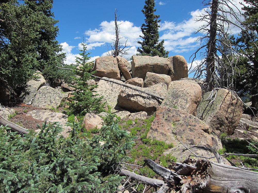
- 11356 Summit – Pikes Peak Granite?
Driving Directions:
• Drive west from Denver on Highway 285.
• Continue west past Bailey.
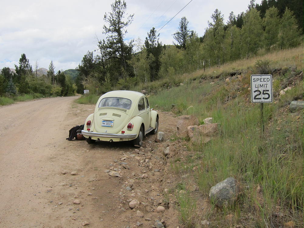
• About 3 miles past Grant, turn north on Hall Valley Road CR 60.
• Drive almost three miles up this 2WD dirt road to the marked trailhead for the Burning Bear Trail 601, on the east side of the road.
-
- 11356 – Burning Bear Trail 601 West Trailhead
-
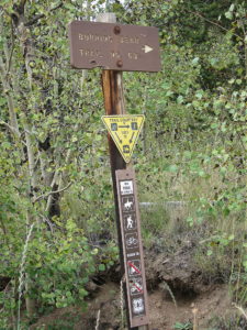
- 11356 Burning Bear Trail 601 Trailhead Sign
-
- 11356 Burning Bear Trail 601 Trailhead Sign
Trail 601 runs across a saddle northwest of Peak 11356. This moderately popular hiking trail runs through Pike National Forest between Hall Valley Road 60 and Geneva Road 62 (southern part of Guanella Pass Road).
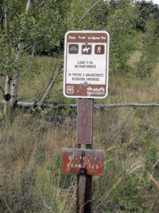
CR 60 is the west end of the Trail, and the elevation at the trailhead is about 9650 feet. Burning Bear Trail is closed to motorized vehicles, and it’s open only to horses, bicycles, and hikers. The western approach to the summit is shorter.
The east end of Trail 601 can be accessed from a trailhead along Geneva Creek, via the southern section of the recently-rebuilt Guanella Pass Scenic Byway. This paved road joins Highway 285 at Grant, west of Bailey.
The Hike:
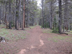
• Trail 601 heads uphill through bristlecone pines.
• Soon it joins Lamping Creek.
• The route continues up the Creek and a tributary to a saddle at 10,750 feet.
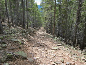
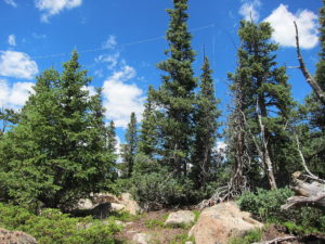
• Most of the trail is an old road. Parts of the route are moderately steep and somewhat rocky
-
- 11356 Burning Bear Trail 601 East Side
-
- 11356 Burning Bear Trail East of Pass
• The route is efficient.
• The trail’s high point, at the saddle, is only about ¾ mile from the summit
• From the saddle, head southeast along a forested ridge
-
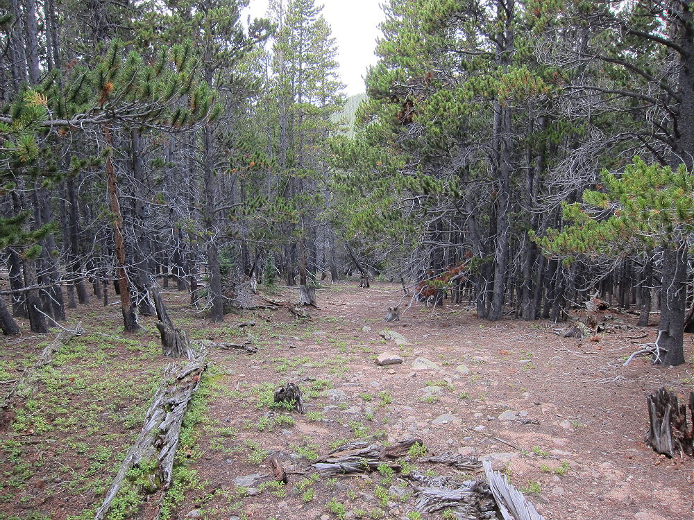
- 11356 Easy Off-trail Route near Pass
• Climb up the ridge about 0.6 miles to the western sub-peak at about 11,200 feet
• Continue ESE about 0.3 miles along the ridge to the SOTA peak at 11,356 feet
Details:
When I climbed 11356 in September 2015, it was a totally pleasant first activation. Perhaps this peak had not been activated previously because there’s no marked trail to the summit. Otherwise 11356 is an accessible, convenient, fun mountain to climb.
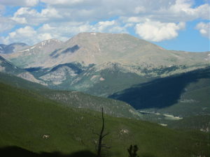
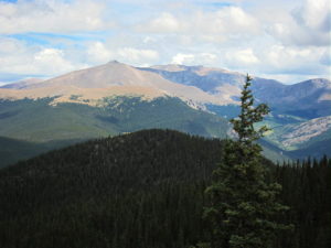
The vertical gain from the saddle to the peak is about 600 feet. Most of the off-trail route is through open sub-alpine forest, with a moderate grade up to the summit. The peak is not visible along most of the hike, but at the western sub-peak at 11,200 feet, the summit is apparent about 0.3 mile to the east. The peak is a prominent, partially-forested, granite knob. There are good views of Mount Logan W0C/FR-017, Mount Bierstadt W0C/PR-015, and Squaretop W0C/PR-018 to the east and north, as well as South Park to the southwest.
-
- 11356 View North to Square Top Mountain
-
- 11356 View of Mount Bierstadt
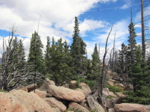
The rocky summit has a large SOTA Activation Zone. Some nice sheltered spots are available among the boulders. Setting up an antenna and operating out of the wind is no problem. Trees for supporting a pole or an antenna are there.
-
- 11356 KX0R SOTA Activation Sep 5, 2015
-
- 11356 KX0R SOTA Activation July 23, 2016
The site is far from development and power lines, so HF radio noise is minimal. 11356 isn’t a good VHF-UHF site, because it’s partly surrounded by higher mountains, and it’s mostly blocked from the populated areas to the east. For HF it’s almost ideal – no close mountains significantly block skip signals. Few people visit 11356, so there’s no need to set up away from the peak.
The summit looks like it could be activated even when there’s snow on the trail. If Hall Valley Road is open to the trailhead, a winter activation using snowshoes or skis might be practical.
73
George
KX0R
-
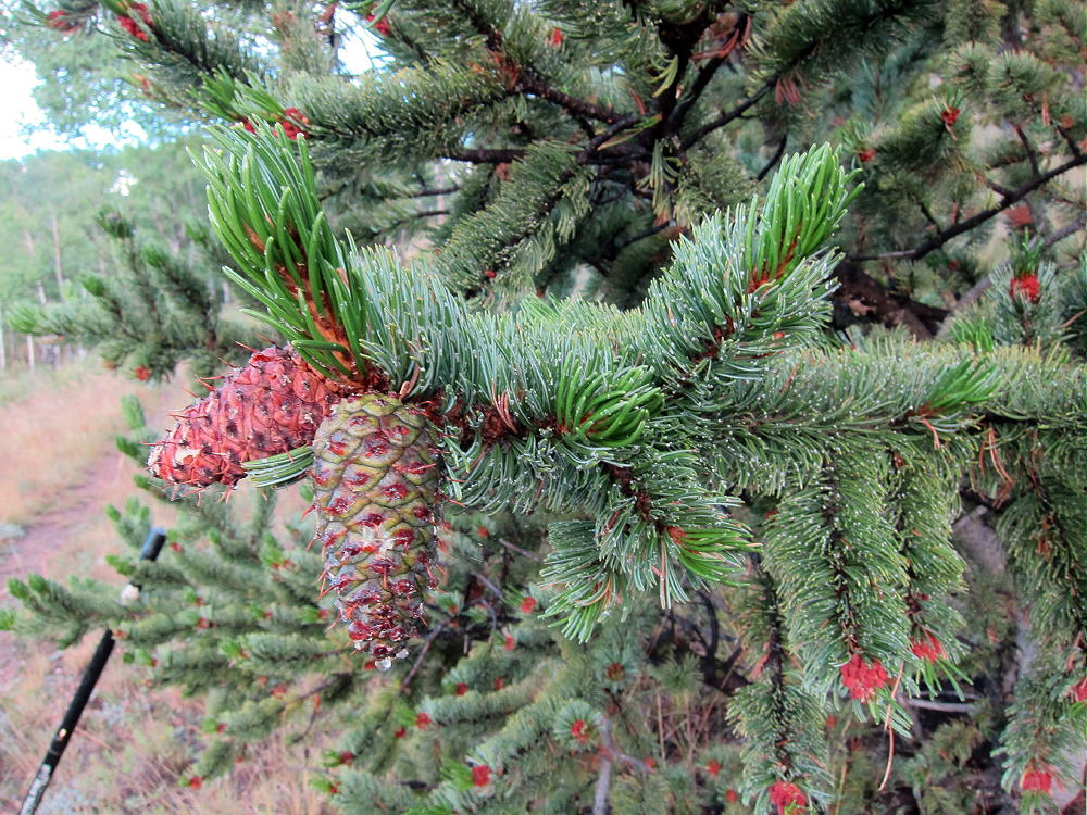
- 11356 – Trail 601 Bristlecone Pine
![]() !! WARNING !! There are old mountaineers, and
bold mountaineers... there are no old-bold mountaineers.
Hiking and mountain climbing are potentially hazardous activities particularly in Colorado with its extreme elevations. I am not accepting responsibility for any death or injury resulting from activations based on my trip reports. Proper training, experience, and personal capability assessment is required - enjoy!
!! WARNING !! There are old mountaineers, and
bold mountaineers... there are no old-bold mountaineers.
Hiking and mountain climbing are potentially hazardous activities particularly in Colorado with its extreme elevations. I am not accepting responsibility for any death or injury resulting from activations based on my trip reports. Proper training, experience, and personal capability assessment is required - enjoy!