


W0C/SP-068
11423
3482 m / 11423 ft
First Activation
Oct 24, 2016
By KX0R
11423 is a fun sub-alpine SOTA peak in the Lost Creek Wilderness east of South Park.
Key Points:
• Pike National Forest
• Lost Creek Wilderness Area
• Tarryall Mountains
• Good trail more than half the way
• Moderate off-trail climb to the summit
• Fine scenery
• Excellent HF site
• ~ 5.8 miles round-trip
• ~ 1500 vertical feet
-
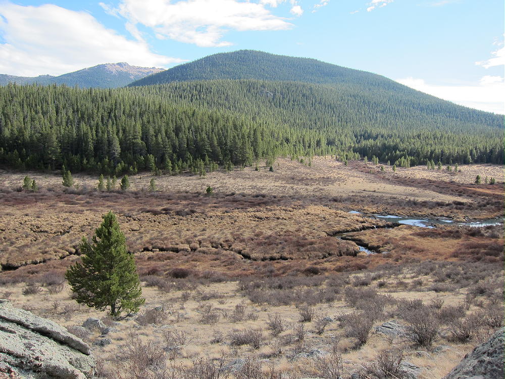
- 11423 – View of Mountain at Trailhead
Driving Directions:
• Drive down 285 and cross Kenosha Pass
• About 2 miles beyond the Pass, turn left, south, on CR 56, the Lost Park Road
• This unpaved road is rocky and rough, but it’s normally a 2WD road, and high clearance is not required
• Follow the road about 16 miles to the end at the Lost Park Trailhead
• Park off the road and well back from the gate
• Don’t go east into the campground, etc.
• There’s no fee to park at the trailhead
The Hike and the Climb:
• Google Maps is inadequate for hiking in this area – trails are missing
• The Trails Illustrated/National Geographic maps are fine
• GPS is useful and recommended
• Follow marked trail 607, Brookside McCurdy Trail, a short distance downhill from the trailhead and west to the South Fork of Lost Creek
• The trail crosses the creek on a small wooden bridge
-
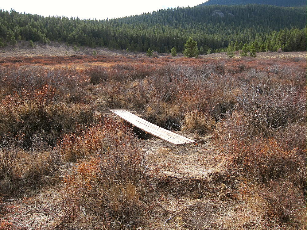
- 11423 – Bridge on Trail 607 near Trailhead
• The trail meets Trail 609 at a T-junction south of the creek
• Continue right at the fork, southwest, on Trail 607
• This nice old trail leads uphill and into the forest
-
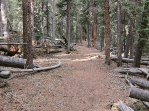
- 11423 – Trail 607 Southwest of Bridge
-
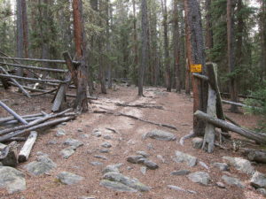
- 11423 – Trail 607 – Old Fence and Gate
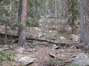
• The trail climbs roughly SSW along Indian Creek
• Hike about 1.4 miles from the bridge on Trail 607
• At about 10,440 feet, leave the trail, and hike roughly southeast up through the forest to the ridge southwest of the summit – try to hit the saddle at 10,960 feet
-
- 11423 – Off-Trail Route, West Side
-
- 11423 – Route up Southwest Ridge
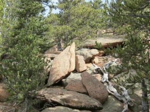
• From the saddle, hike northeast up the ridge – go slightly north to bypass a few rock outcrops
• Climb up the ridge to the rocky summit of 11423
Additional Details:
From leaving the trail to the summit is about 0.8 miles, with a vertical gain of 1000 feet. This is steep but practical in the open sub-alpine forest. A bit of easy rock scrambling may be required to reach the summit.
A sister summit with a rocky pinnacle stands about 1000 feet northeast of the actual summit. It’s almost as high as the main peak. Both summits and the connecting ridge appear to be within the Activation Zone. Most of the peak is orange Pikes Peak granite.
-
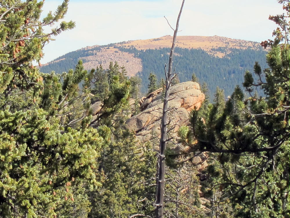
- 11423 – Northeast Sub-peak
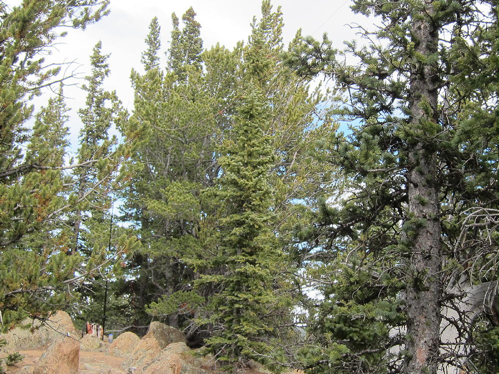
There’s a summit register in a jar on the actual summit. Most of the trees are healthy bristlecone pines. The views south of massive Bison Peak are awesome, and other parts of the wilderness are visible for miles around.
-
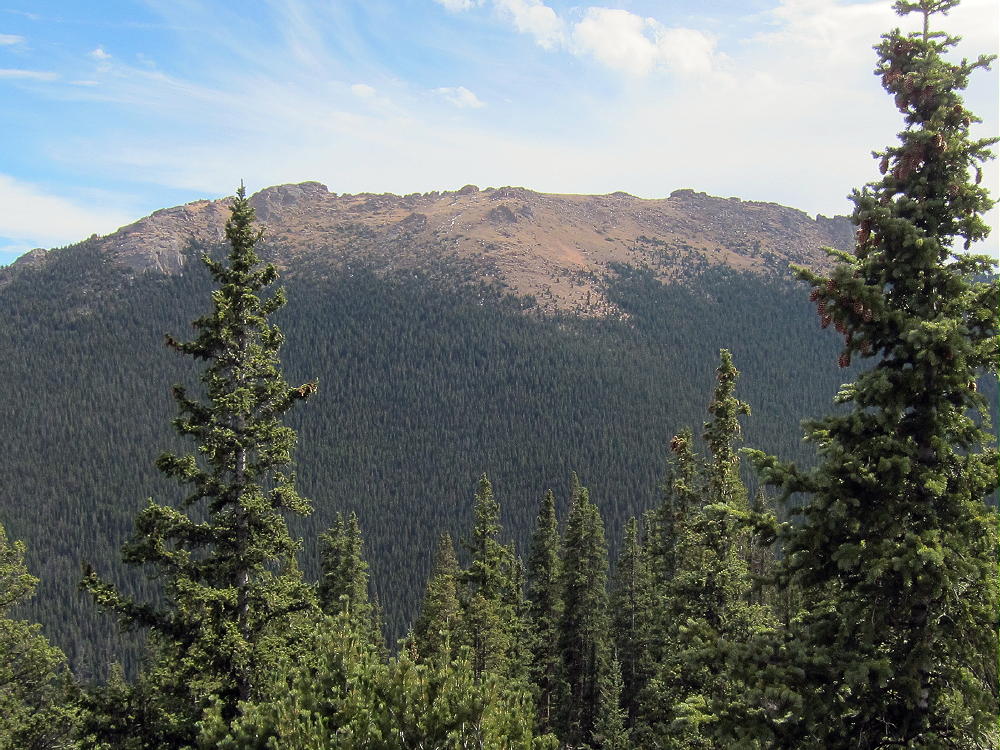
- 11423 – View of Bison Peak
The summit area of 11423 is ideal for setting up and HF SOTA station. There’s enough room for a long wire antenna. The space is open and convenient, with a flat spot to operate from; nice trees are available to hold a pole.
-
- 11423 – First SOTA Activation – KX0R
-
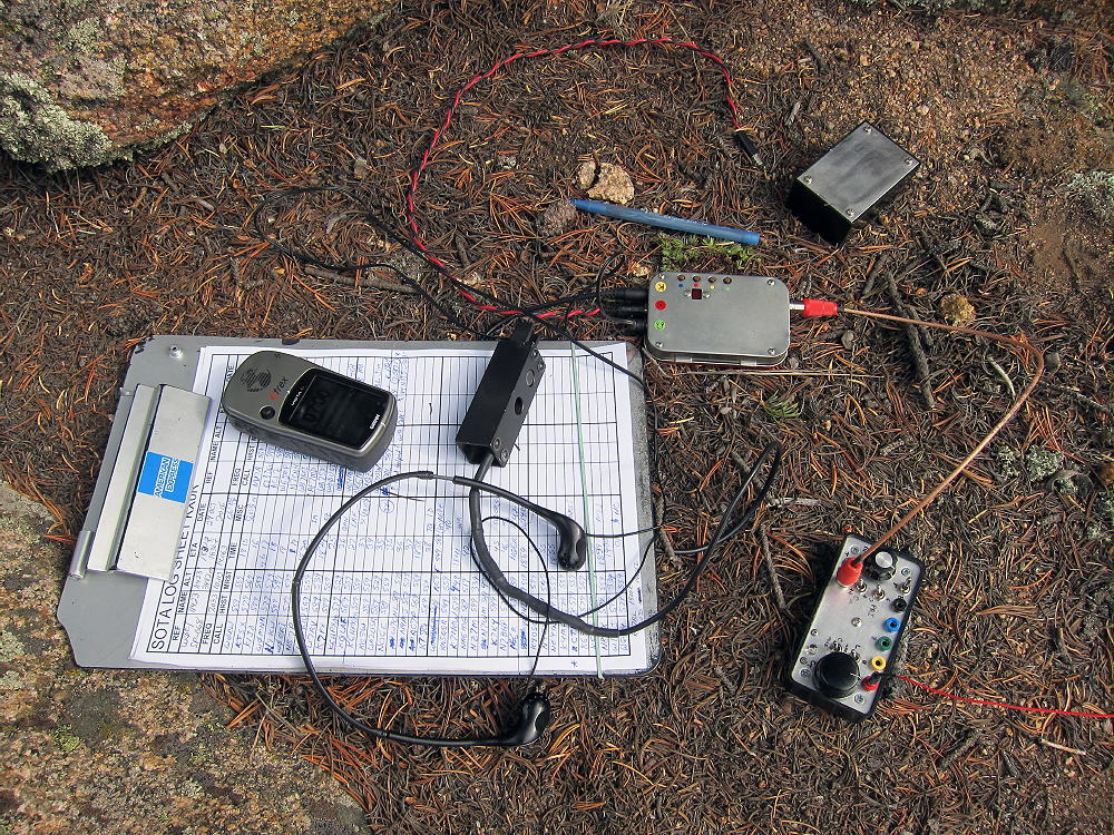
- 11423 – SOTA Radio Gear
The peak is a near-perfect HF site. Miles from any development, the noise level is very low. The summit’s quite prominent and falls away quickly in all directions. The only significant blockage for HF skip signals is Bison Peak, about 2 miles south of 11423. VHF/UHF coverage is probably limited to a few places in South Park.
Once I got on the air, I made 55 CW contacts on 7-10-14 MHz. These included a summit-to-summit (S2S) contact with KH7AL on W0C/FR-134 on 7 MHz, and a DX contact with CT1HIX on 14 Mhz.
I first climbed this mountain by an interesting but longer route. I hiked more than 2-1/2 miles on trail 607, all the way around the rocky southwest corner of the mountain, before I left the trail. I entered a large meadow southwest of the summit.
-
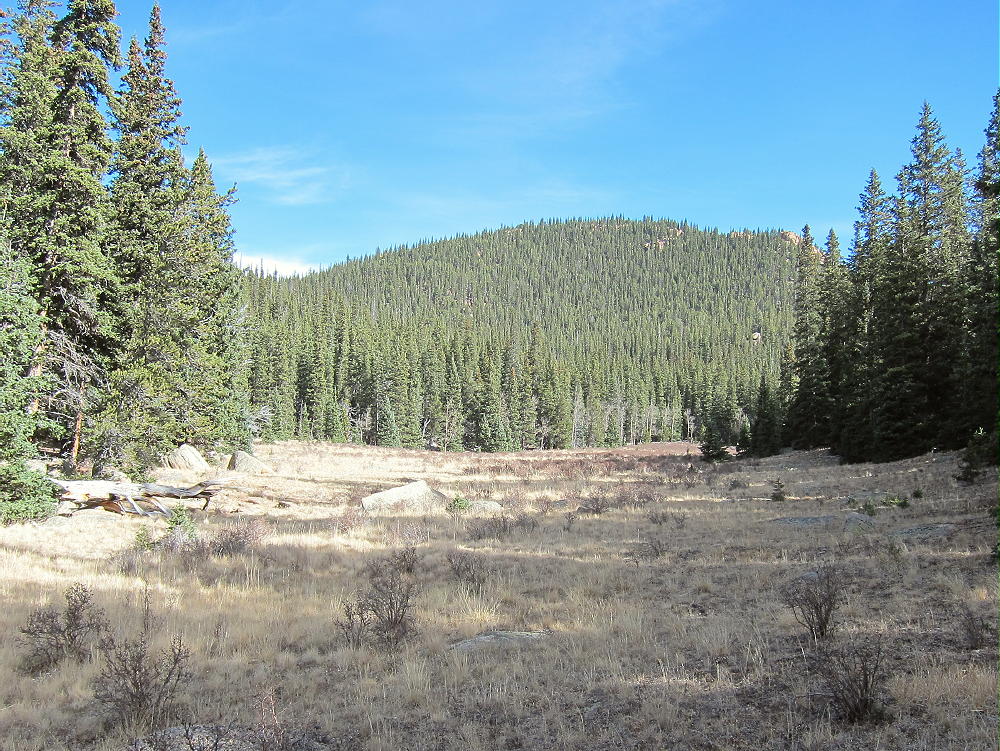
- 11423 – Meadow Route Southwest of Summit
After crossing north through the meadow, I continued north up through open forest to the saddle on the southwest ridge; then I followed the ridge up to the peak. My descent was via the route described above.
A short, direct route up the north side of the mountain to the northwest ridge might be practical – however, I have not tried this.
11423 might be combined with other local SOTA peaks for a dual activation:
11060 W0C/SP-075 less difficult, not far north
Topaz Mountain W0C/SP-062 less difficult, further north
North Tarryall Peak W0C/FR-029 more difficult, further north
Bison Peak W0C/FR-021 much more difficult, nearby
Be aware of possible hunters in the fall – wear bright orange.
73
George
KX0R
![]() !! WARNING !! There are old mountaineers, and
bold mountaineers... there are no old-bold mountaineers.
Hiking and mountain climbing are potentially hazardous activities particularly in Colorado with its extreme elevations. I am not accepting responsibility for any death or injury resulting from activations based on my trip reports. Proper training, experience, and personal capability assessment is required - enjoy!
!! WARNING !! There are old mountaineers, and
bold mountaineers... there are no old-bold mountaineers.
Hiking and mountain climbing are potentially hazardous activities particularly in Colorado with its extreme elevations. I am not accepting responsibility for any death or injury resulting from activations based on my trip reports. Proper training, experience, and personal capability assessment is required - enjoy!