W0C/SP-061
Payne Benchmark
3591 m / 11780 ft
First Activation
Oct 27, 2016
By KX0R
Payne Benchmark is a fine SOTA peak in the wilderness near Bailey, Colorado.
Key Points:
• Pike National Forest
• Platte River Mountains
• Lost Creek Wilderness
• Good marked trail much of the way
• Off-trail final climb, about 0.6 mile to a pleasant summit
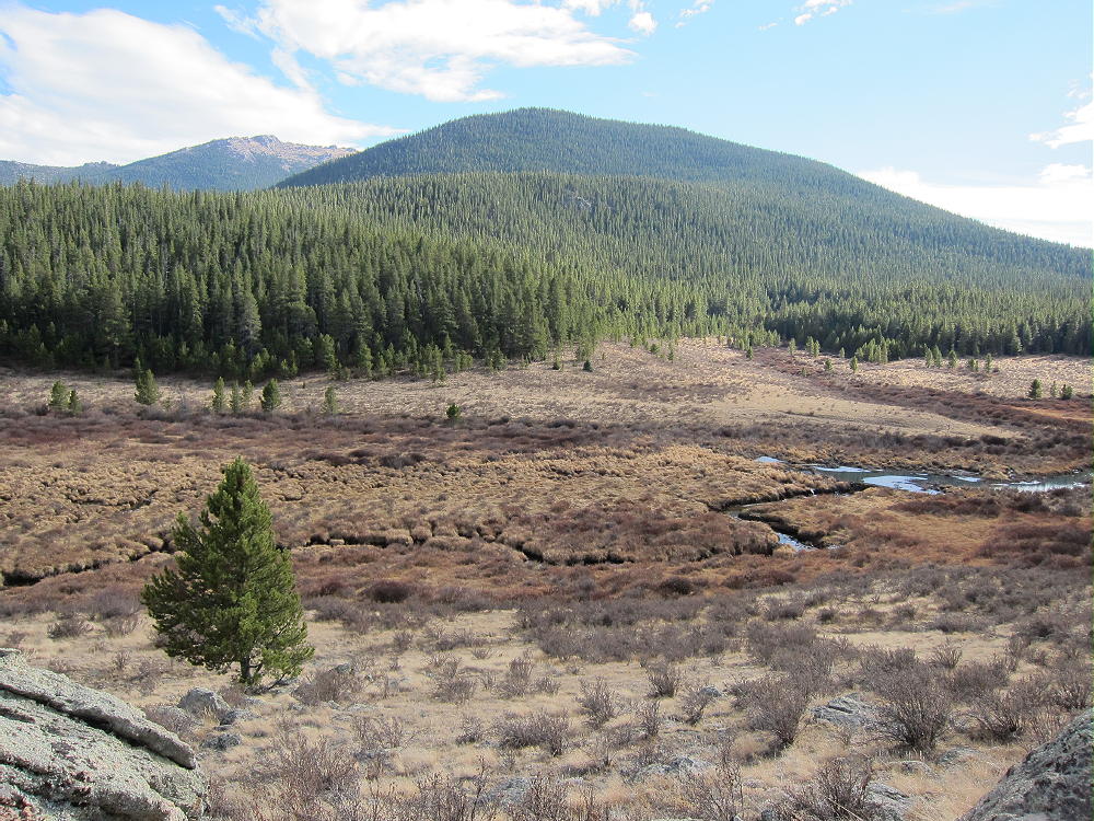
• Nice scenery – wilderness
• Summit is rarely visited
• ~ 15.5 miles round-trip
• ~ 3750 vertical feet
• “SOTA Classic”
Driving Directions:
• Drive west from Denver via Highway 285 to Bailey
• Turn south on CR 64, at a bridge next to the lumber-yard
• Where the road forks, continue left, mostly west on 2WD dirt road CR 64
• After about 2 miles, look for Payne Gulch Road on the left (closed to public)
• Drive past Payne Creek on CR 64 about 0.2 mile
• Turn left, south, on a small forest road, and continue about 100 yards to the parking area
• Park here – this is the Brookside-McCurdy Trailhead
• There is no charge to park or enter
• Google Maps shows the roads in this area OK
The Hike and the Climb:
• Google Maps only shows fragments of the trails here – the Trails Illustrated/National Geographic maps are much better.
• The trail first leads roughly south – it’s not very efficient, because it was built to bypass private land.
• At about one mile from the trailhead, the trail splits.
• Head southwest on Brookside-McCurdy Trail 607.
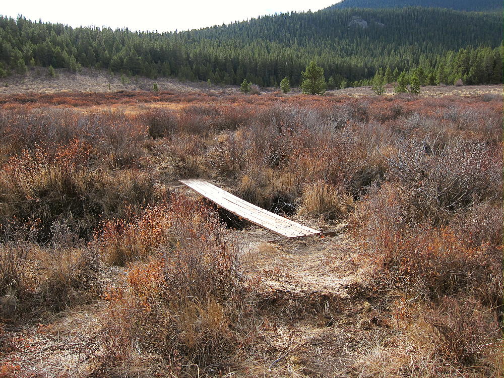
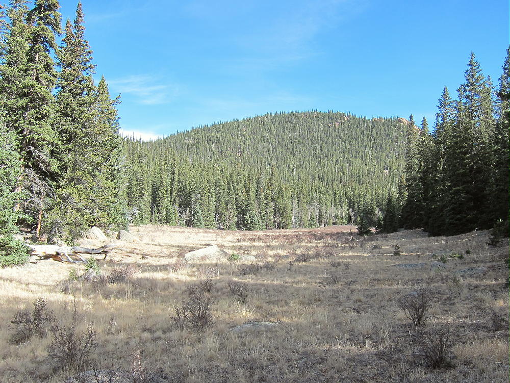
• Follow Trail 607 as it leads across a small creek, crosses a large ridge, and climbs high into the Lost Creek Wilderness.
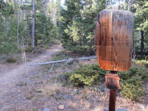
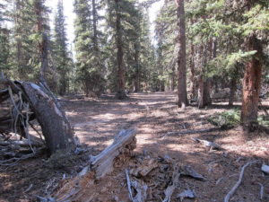
• The trail continues up McArthur Gulch and gains plenty of vertical feet.
• Eventually the grade moderates, and the route reaches a broad saddle at about 11,250 feet, near the crest of the Platte River Range.
• Be sure you have a good map and/or a GPS unit with topo map data for the final off-trail climb
• Leave the trail and head southeast into the forest – the summit is not visible
• Hike steeply up the slope toward the peak – the exact route is not critical – it’s about 500 vertical feet to the top.
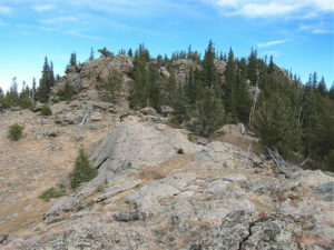
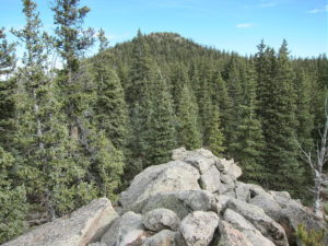
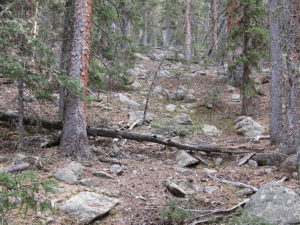
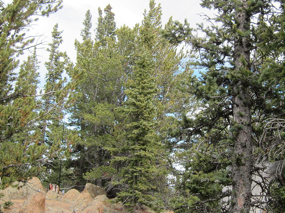
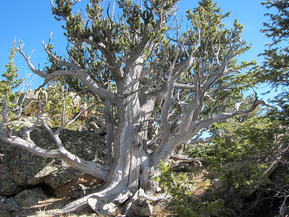
• The route ascends to a broad bench at 11,600 feet – this area is covered with young bristlecone pine trees
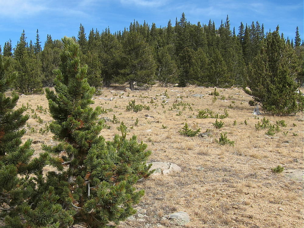
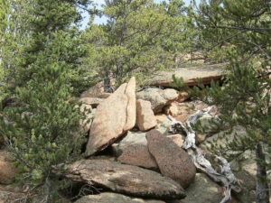
• Climb east from the bench, up through a thick forest of much older bristlecone pines, and finally up a few rocks to the craggy summit.
Details:
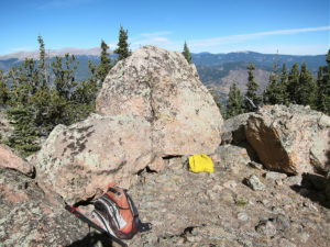
The summit’s small, but it has a convenient flat spot right at the top. A few live and dead trees are available for supporting a pole or a wire. Since the weather was perfect, I decided to set up right next to the summit block, so I guyed my pole to the rocks.
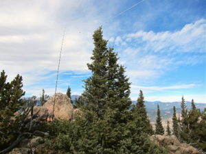
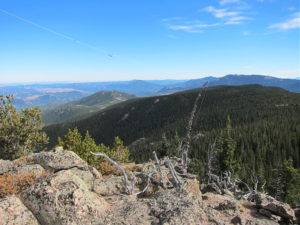
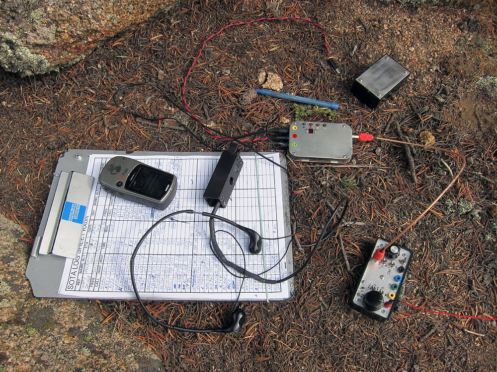
I tied the far end of the wire to an erect dead tree, the old SOTA trick for a second pole! Payne Benchmark is a near-perfect HF radio site – very prominent and RF-quiet. I logged 48 CW contacts on 4 HF bands during my activation.
UHF/VHF coverage probably is significant, because the peak looks east across lower mountains to some large areas out on the plains.
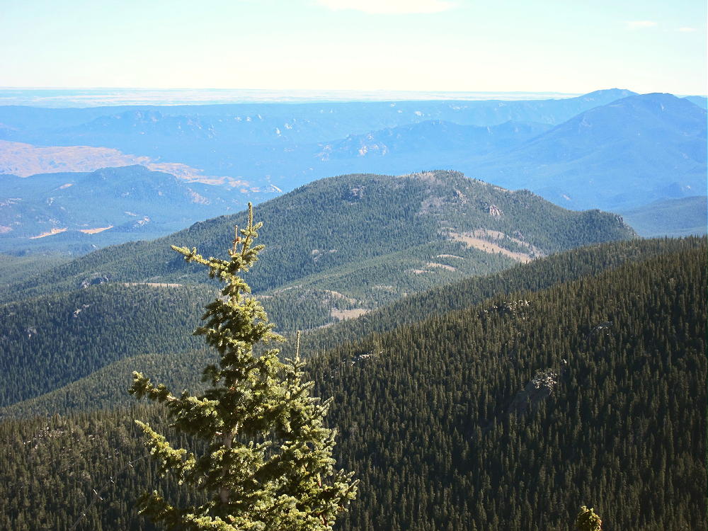
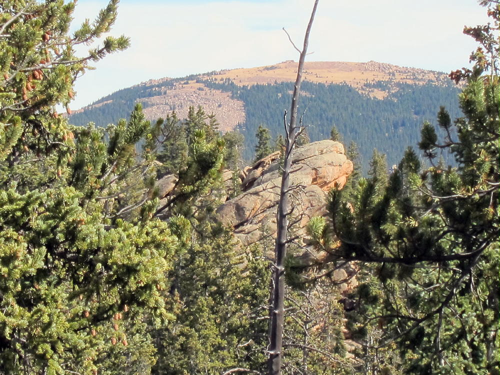
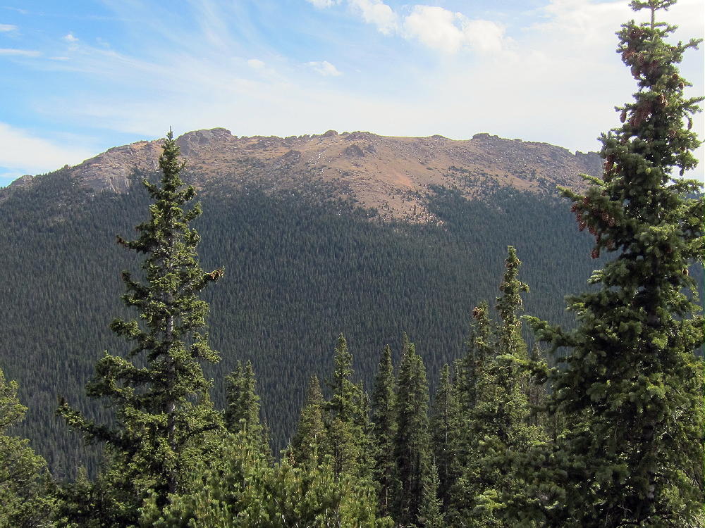
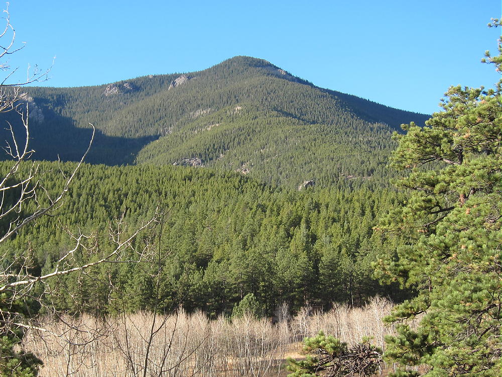
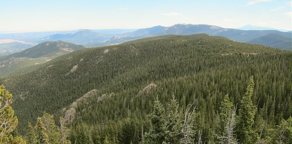
The peak feels even higher than it is. The vast, open views into the Lost Creek Wilderness reveal peaks and other features not visible from the highways in the valleys below.
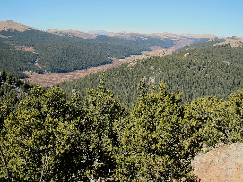
Many SOTA peaks are visible. Lost Platte Peak stands a few miles to the east, and Pikes Peak is visible in the south. Windy Peak and Buffalo Peak are not far away; Green Mountain, Wellington Lake and The Castle stand far below! South Twin Cone and North Twin Cone command the western view, along with higher peaks on the Divide further west. Peaks X and Y stand right across the immense glacial valley of Craig Creek that runs 1000 feet down below.
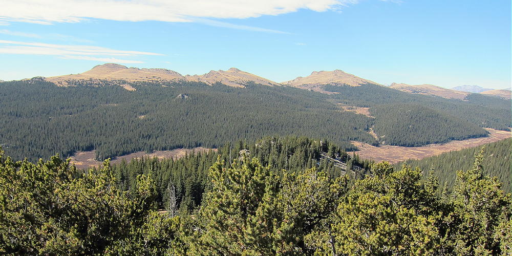
These views pulls you in – the more you look, the more you see. As a relative newcomer to the Lost Creek Wilderness, I was stunned by the vastness and intricacy of the views. This is true wilderness – there’s no one else – and it’s all perfect and incredible – for too short a time. Only the radio connects you to civilization.
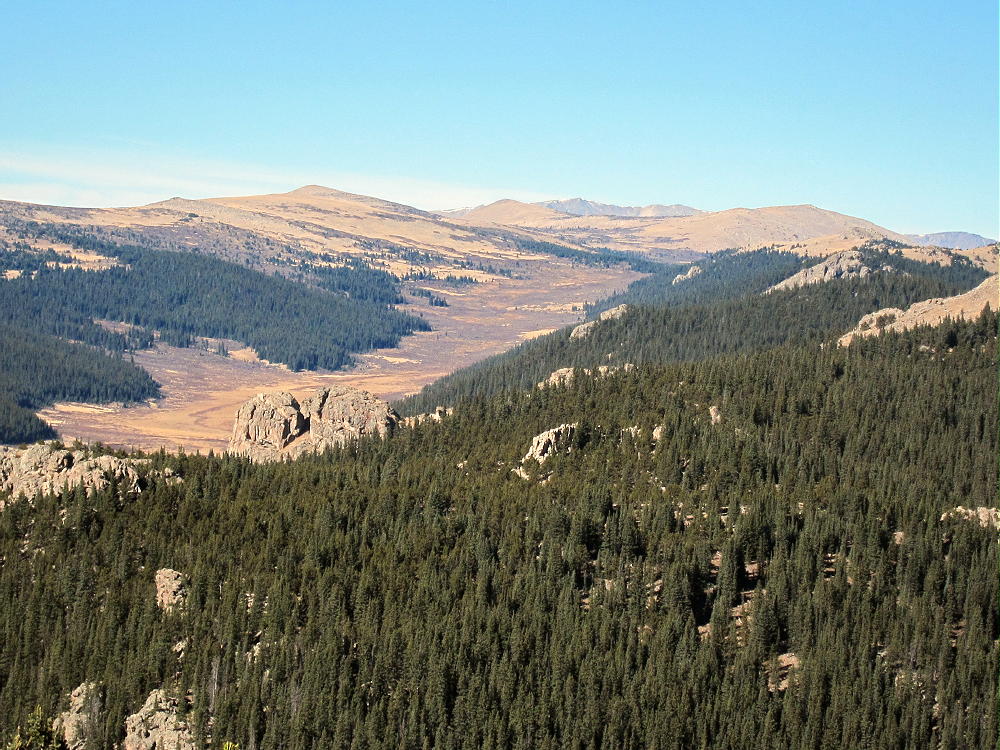
Payne Benchmark is a true “SOTA Classic”. The excellent challenging hike, the fine scenery, the pure wilderness, the summit climb through the bristlecone pines, the small rocky summit looking out across incredible views for miles in every direction, and the perfect radio site make this one of the best SOTA peaks around!
Save this summit for the best day you have free.
Please don’t visit this summit when cumulus clouds threaten. It’s certainly a dangerous place in a storm. The tiny summit is the highest point for miles, and it’s just reaching up toward the clouds for a lightning strike. Most of the central trunks of the old bristlecone pines there have been struck and killed hundreds of years ago – it’s obvious. Only a few branches are still alive on some – and many others are all dead.
Lost Platte Peak W0C/SP-086 is only about 4 miles east of Payne Benchmark, and it might be reached by hiking along the heavily-forested top of the Platte River Range, but activating both peaks in one day would be difficult.
Lost Platte Peak can also be reached from the same trailhead as Payne Benchmark, via the Payne Gulch Trail 637.
73
George
KX0R
 !! WARNING !! There are old mountaineers, and
bold mountaineers… there are no old-bold mountaineers.
Hiking and mountain climbing are potentially hazardous activities particularly in Colorado with its extreme elevations. I am not accepting responsibility for any death or injury resulting from activations based on my trip reports. Proper training, experience, and personal capability assessment is required – enjoy!
!! WARNING !! There are old mountaineers, and
bold mountaineers… there are no old-bold mountaineers.
Hiking and mountain climbing are potentially hazardous activities particularly in Colorado with its extreme elevations. I am not accepting responsibility for any death or injury resulting from activations based on my trip reports. Proper training, experience, and personal capability assessment is required – enjoy!