


W0C/FR-081
Button Rock Mountain
2576 m / 8450 ft
July 6, 2013
Nov 2, 2014
by KX0R
Button Rock Mountain is a moderate 2-point SOTA peak hidden in the Roosevelt National Forest. This was my first SOTA activation, and it went well, so it is special to me.

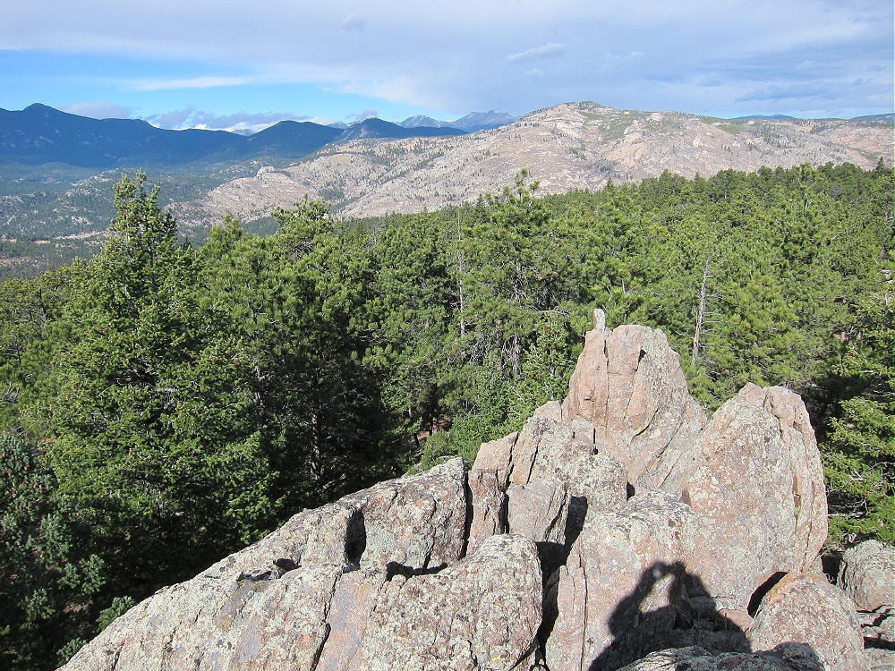
Button Rock Mountain and Preserve from Coffintop Mountain
Access is not difficult, but good navigation is required. I suggest using USGS topo maps – Google maps are incomplete in the area. The forest has several jeep roads, plus secret mountain bike trails. Many of the roads are currently closed to vehicles due to damage from the 2013 floods, but the route to Button Rock Mountain is in good condition and is open to hikers.
Drive up US 36 to Pinewood Springs, and continue to the junction with road 47. This road has been partly rebuilt following the devastating floods, but it’s not paved – caution is advised. Follow 47 up to the marked cutoff to Johnny Park. Turn left, and if you have enough clearance, drive up the eroded road to the Coulson Gulch Trailhead – otherwise park off the road, and walk up to the trailhead. This trailhead serves as a gateway to a huge area of the National Forest, and almost anything can happen here. People camp, build fires, hang out, drink, take drugs, shoot guns, go hunting, and ride bikes, ATV’s, jeeps, or whatever. Park but don’t leave anything valuable in your car. Hike up the gated Forest Road 118 leading east from the parking area. This road quickly climbs up to a plateau at about 7800 feet. Button Rock Mountain looms up to the east. Follow the road around the plateau, or short-cut northeast across it on a path, and continue northeast and down to a saddle at 7600 feet.
Continue east on a gated road leading from the saddle; follow this road up a rocky ridge and into the saddle valley north of Button Rock Mountain. The practical way up the mountain is to hike to this broad saddle, and then pick a route up the relatively gentle north side of the mountain. Don’t head south and up too soon – continue far enough east to pass the steep rocks on the northwest side of the mountain. From the saddle, it’s easy to find a reasonable route up the north slopes. There is no marked route, there are fallen trees, and there are old forestry-maintenance trails that may or may not be useful. Part way up you’ll find a lovely secret mountain bike trail that has been artfully built up the northeast side of the mountain. This route leads up near the summit, but it has so many curves and switchbacks that it’s not an efficient hiking route. Just head up through the open woods, and you’ll be on the large summit plateau before you know it.
Note that the actual “Button Rock” is not the summit, nor is it on this route. Button Rock lies well to the northeast of Button Rock Mountain. Also note that many people use the term “Button Rock” to refer to the Button Rock Preserve or to Ralph Price Reservoir in the Preserve.
Finding the actual summit is tricky. Cairns lead through the pleasant, open woods along the ridge near the top. A GPS with maps will get you very close. There are several large rock outcrops in the huge Activation Zone, and the western-most crag appears to be the real summit. This point is well-hidden by trees and is the only one with a really good view! A short scramble leads to the top. There is a cairn and register jar top, suggesting that this rock is the summit.
-
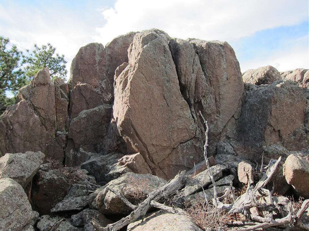
- Button Rock Mountain Summit
-
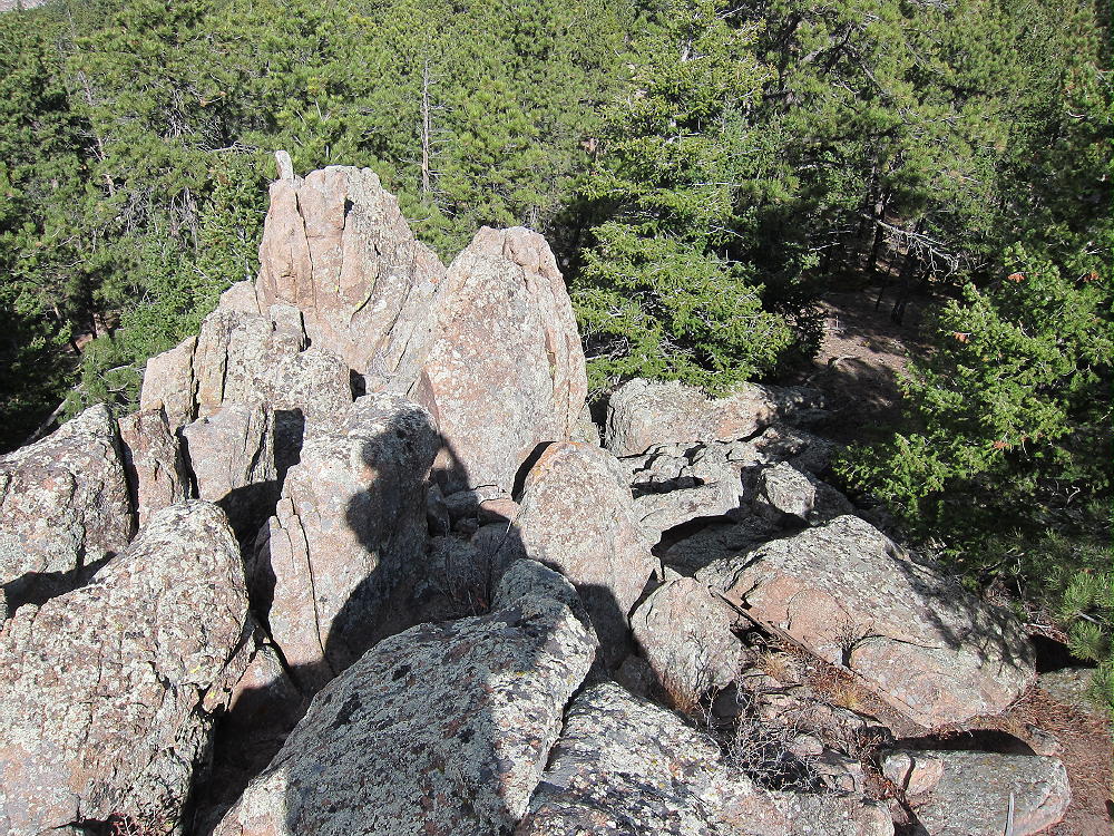
- Button Rock Mountain Summit Climb
There are plenty of trees and sheltered spots where you can set up and activate within the Zone. There is no real need for a pole, if you have a way to get a line up over a limb. Erecting serious antennas is possible here. Propagation should be fine at VHF and UHF, as well as HF. Few people visit this massive, prominent mountain.
-
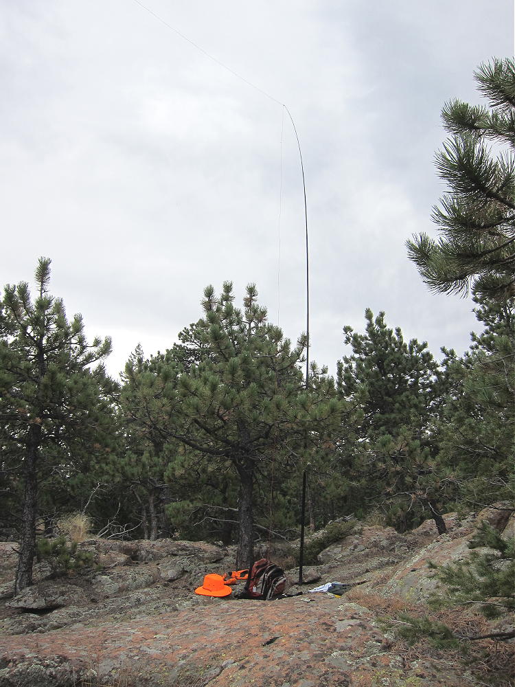
- Button Rock Activation 2014
-
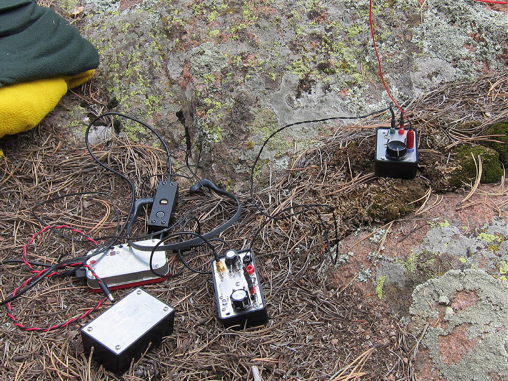
- Button Rock Rig 2014
-
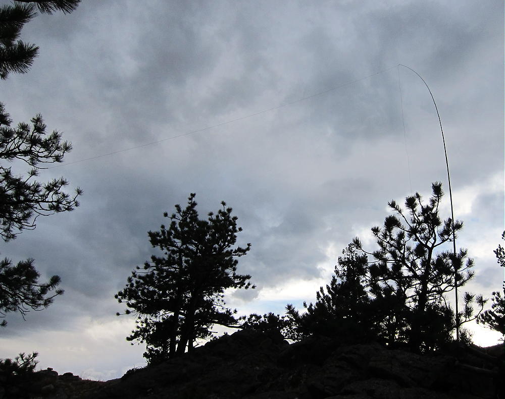
- Button Rock Mountain Antenna 2014
Descend by a route that leads back to the saddle north of the mountain – avoid the cliffs on the west side.
The one-way distance is about 2.6 miles by the route detailed here. The total ascent is about 1000 vertical feet. There is no reliable water on the route, so be sure to bring enough. This is a pleasant hike during spring or fall – wear bright colors during hunting season.
There certainly are routes up from the East, but I have not hiked in that area.
Access from Button Rock Preserve is certainly possible, but at this writing, the entire Preserve is closed to all entry due to the floods. One of the logical approaches would be to climb from the Reservoir via Rattlesnake Gulch – which is so named for good reason. There really are rattlers in the Preserve and in the surrounding area – watch your step! Button Rock Mountain has many deer and elk, and it’s also prime mountain lion habitat. The entire area North Saint Vrain Creek area is wild, fascinating, and beautiful.
A hike up Buttonrock Mountain is a great introduction to this region, and it’s a SOTA Classic!
73
George Carey Fuller
KX0R
-
- Button Rock Mountain View North
-
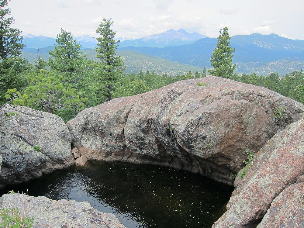
- Button Rock Summit Pool
-
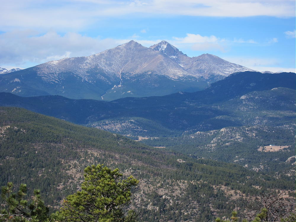
- Button Rock Mountain View West
-
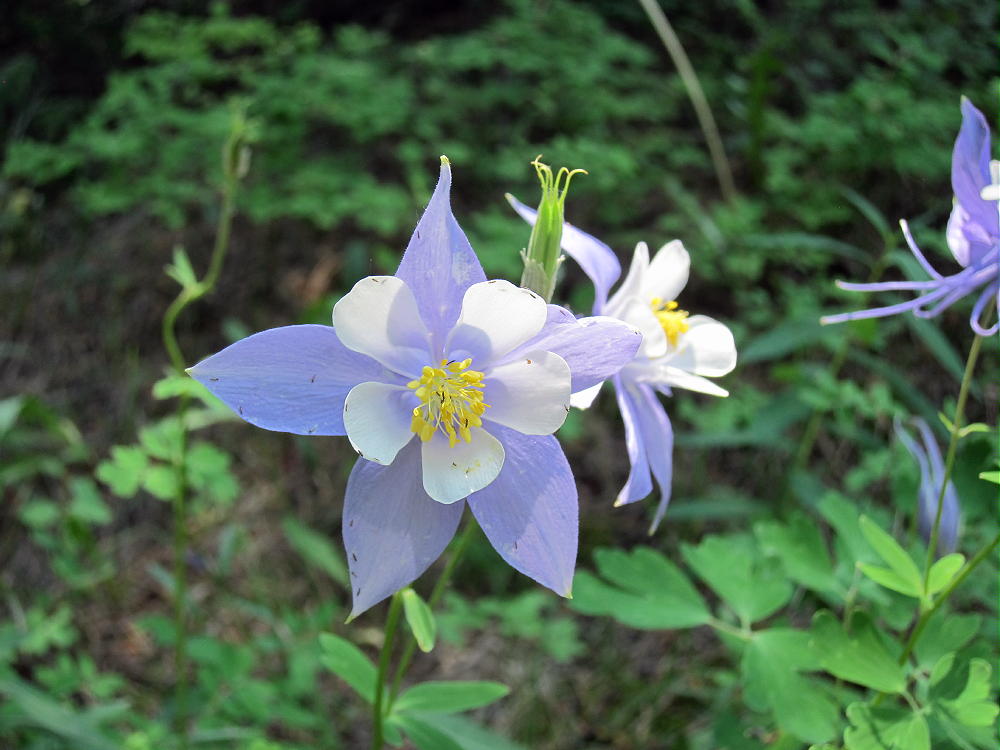
- Button Rock Mountain Columbines
-
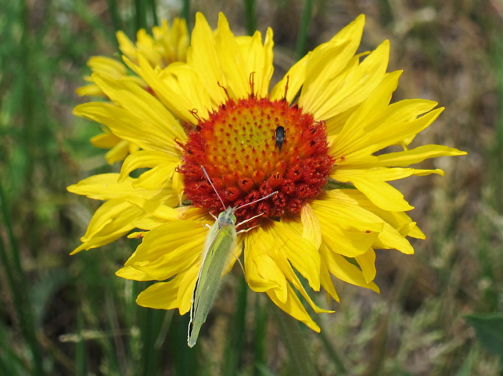
- Button Rock Mountain Flower
-
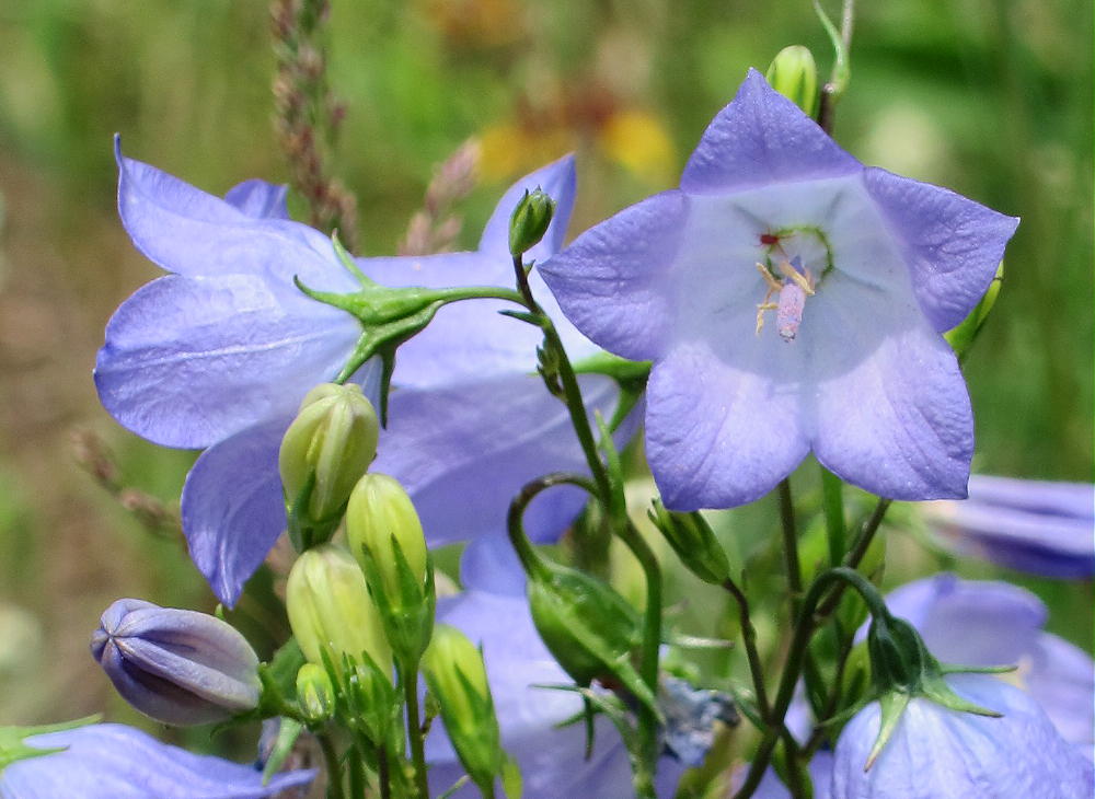
- Button Rock Mountain Flowers
![]() !! WARNING !! There are old mountaineers, and
bold mountaineers... there are no old-bold mountaineers.
Hiking and mountain climbing are potentially hazardous activities particularly in Colorado with its extreme elevations. I am not accepting responsibility for any death or injury resulting from activations based on my trip reports. Proper training, experience, and personal capability assessment is required - enjoy!
!! WARNING !! There are old mountaineers, and
bold mountaineers... there are no old-bold mountaineers.
Hiking and mountain climbing are potentially hazardous activities particularly in Colorado with its extreme elevations. I am not accepting responsibility for any death or injury resulting from activations based on my trip reports. Proper training, experience, and personal capability assessment is required - enjoy!