W0C/FR-098
Cook Mountain
2298 m / 7540 ft
Nov 30, 2014 1st Activation
May 23, 2015 2nd Activation
Apr 25, 2016 3rd Activation
By KX0R
Cook Mountain is a hidden mountain west of Lyons, Colorado. This peak offers a pleasant SOTA activation in a special place.
Key points:
• Access from Roosevelt National Forest and Buttonrock Preserve
• Cook Mountain is within Buttonrock Preserve – special rules apply
• Trailhead at Coulson Gulch
• Navigation and route-finding required – some off-trail hiking
• The trailhead is at 7650 feet, higher than the summit
• ~ 5.4 miles round-trip
• ~ 1100 feet vertical gain, including about 600 feet back up to the trailhead
Driving Directions:
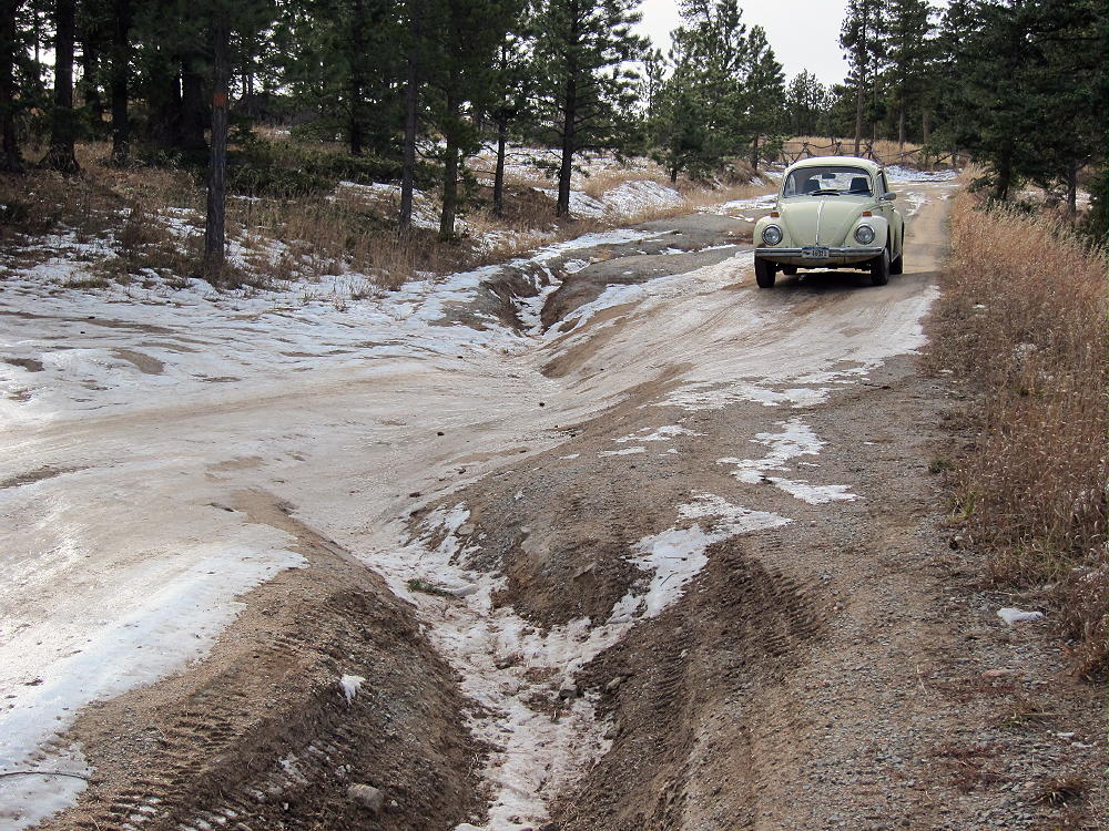
Starting at Lyons, follow Highway 36 northwest for several miles. About 1-1/2 miles beyond Pinewood Springs, turn left, west, onto dirt road 47. Follow 47 about 3-1/2 miles southwest as it climbs up a valley. Just before a sharp bend in the road, a USFS dirt road leads off to the left. Follow this lumpy road up to a large parking area, at a saddle between two large hills. Don’t continue on up to the jeep road leading to Johnny Park. The trailhead is at the southeast side of the parking area.
The Hike:
The route is down to Higgins Park via Coulson Gulch, and then up the north ridge of Cook Mountain to the top.
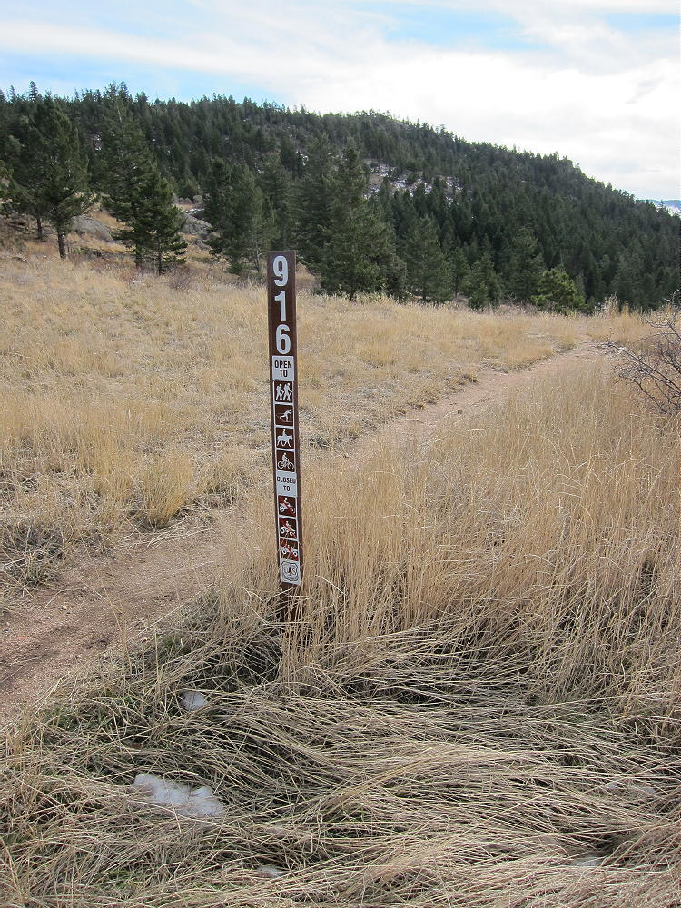
Hike south down the Coulson Gulch Trail #916. Sometimes there are shooters here – use caution. The trail descends along a little creek, and it’s very scenic below the parking area. The route descends steeply into Higgins Park, where an old cabin stands near the trail. Continue along the creek, and follow marked Trail 916 through the huge meadows.
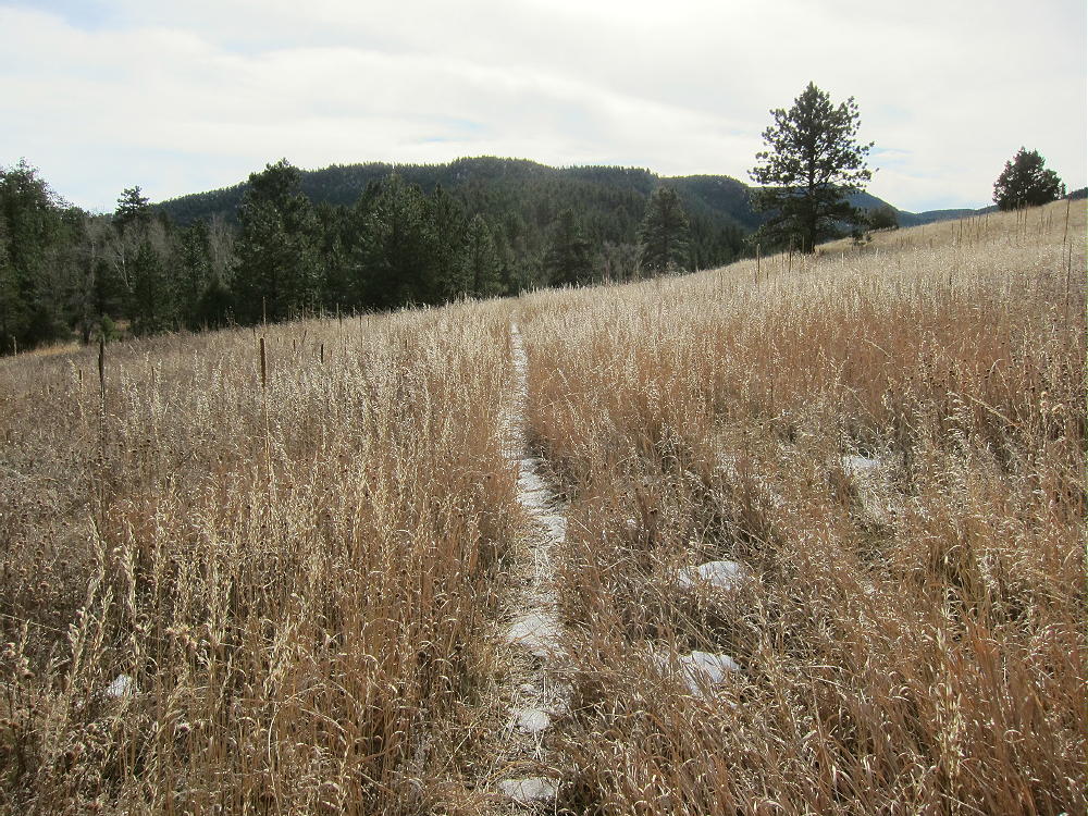
Where the trail splits, take the dirt road left, east, and cross the creek where a bridge has been washed out. Follow the road up a short hill into Buttonrock Preserve. This is a good place for a short break.
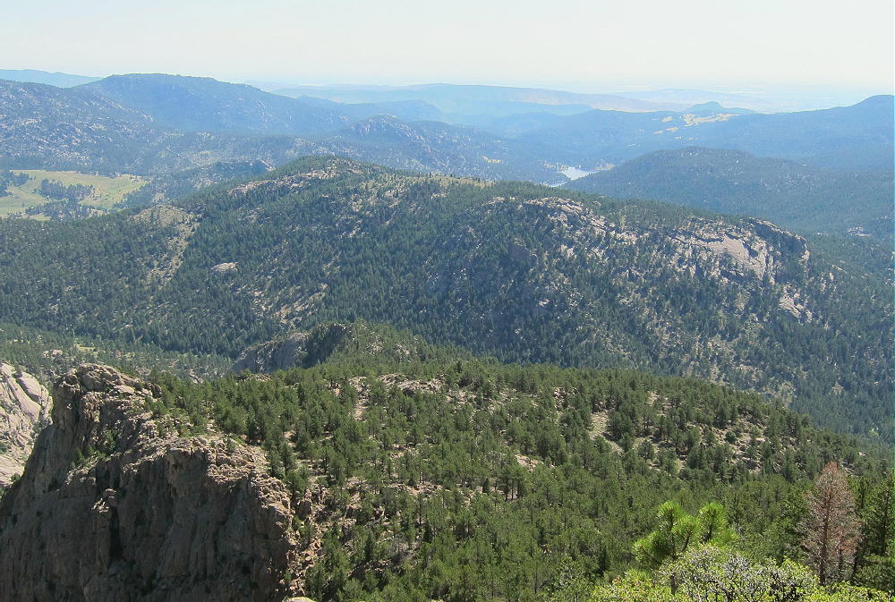
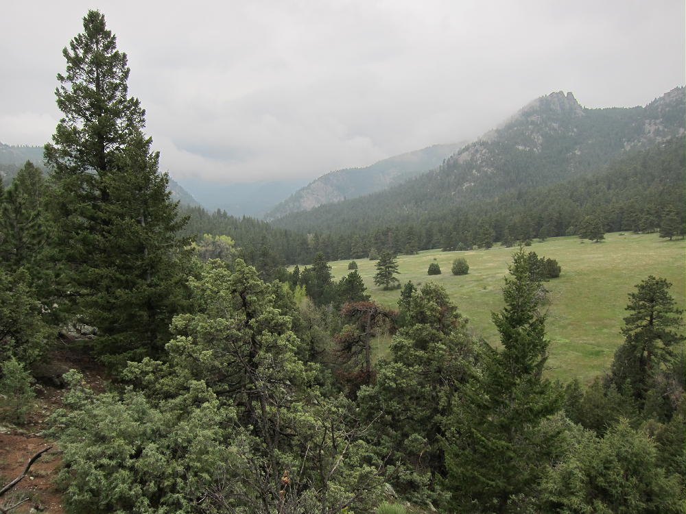
Enjoy the nice view of the Preserve from the saddle at 7000 feet. Don’t continue down, but find an unmarked jeep track leading south along the ridge toward Cook Mountain. Follow this road for almost ½ mile to the end; continue up a faint, rough game trail ascending south along the rocky, forested ridge. Stay close to the ridge-top, and follow it all the way to an obvious high point.
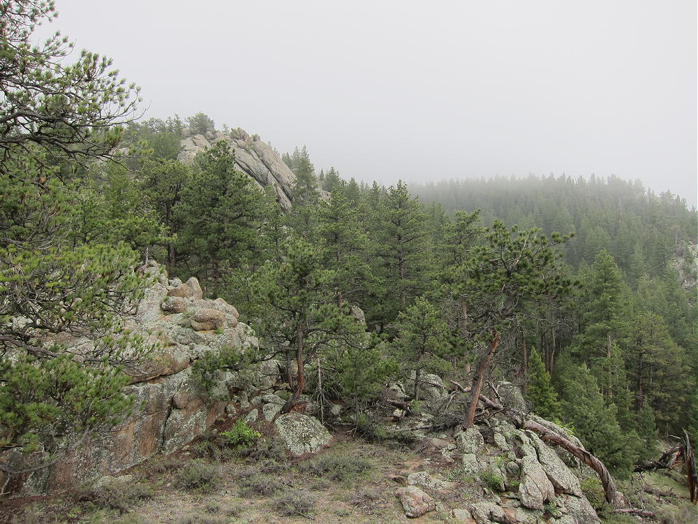
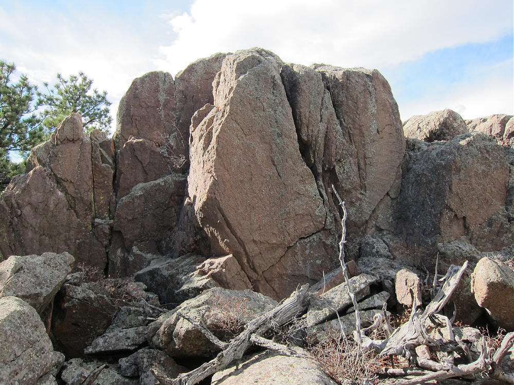
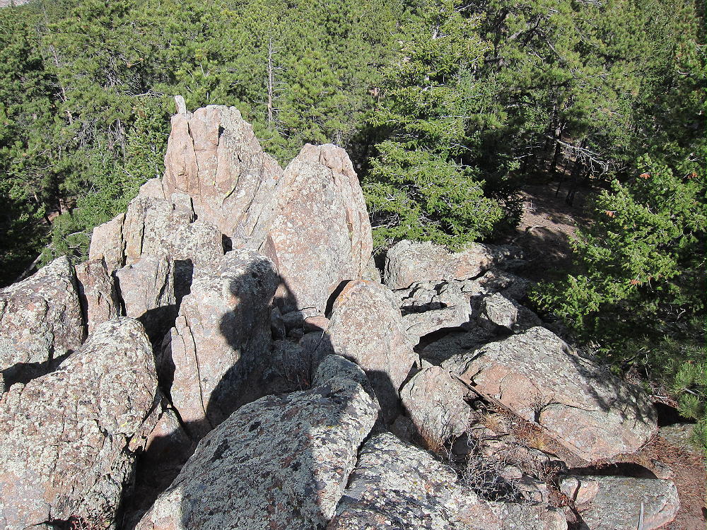
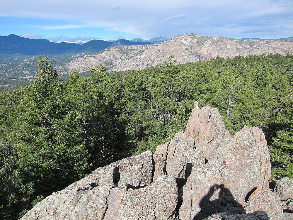
The northern high point is not the summit shown on the SOTA map, but it’s in the Activation Zone. There are three or four high points, all at about the same elevation, and the saddles are shallow. It’s just a matter of selecting which summit you want to activate.
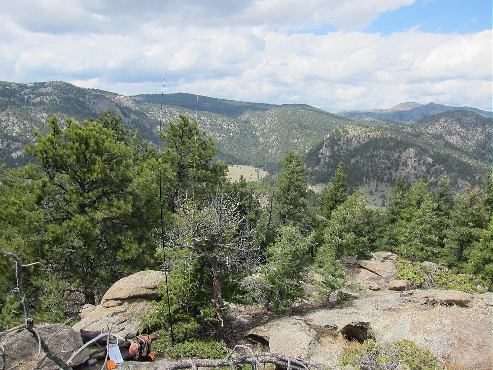
The east side of the mountain looks down over 1100 feet to Buttonrock Reservoir, and the west side looks down into the rugged North Saint Vrain Canyon. This canyon is one of the wildest areas in Boulder County.
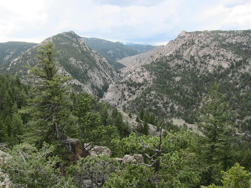
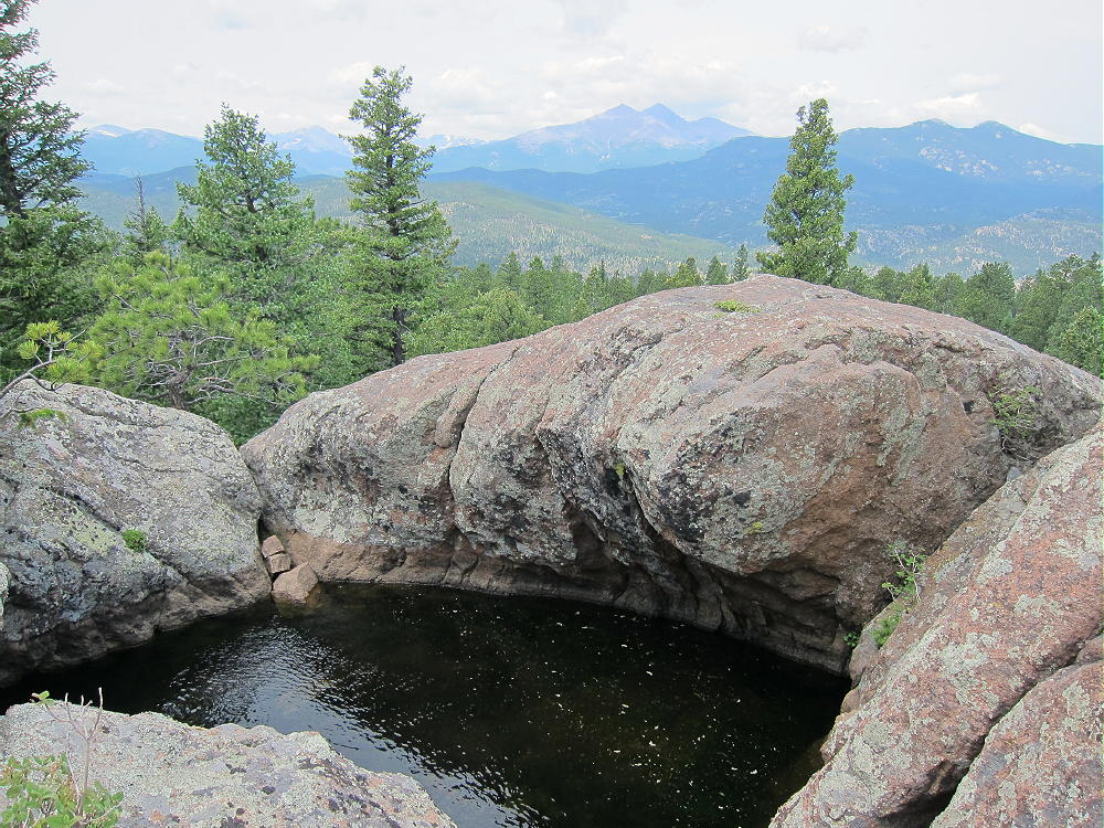
Many good spots are available for setting up radio gear in the large Activation Zone. Granite outcrops and trees provide shelter from wind. With essentially no development in the area, this site has a very low HF noise level.
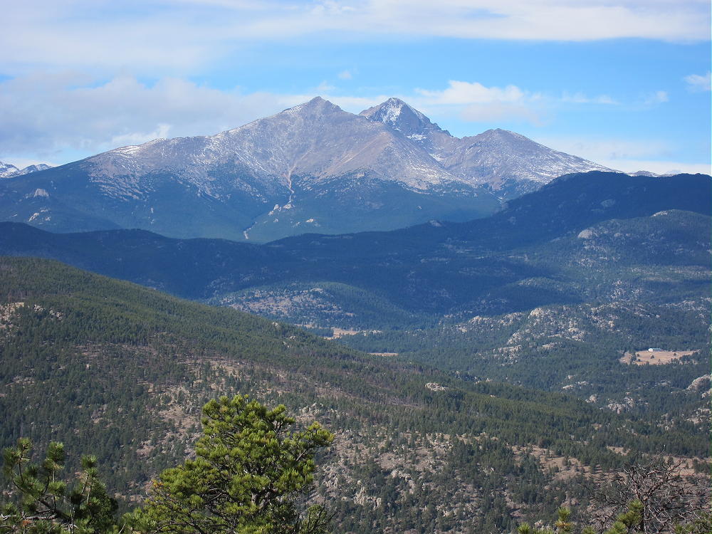
HF propagation is wide open to the east, and is minimally impaired by a few higher mountains in other directions. This is an excellent HF site! However, there is only a very limited view out toward the plains, and the Denver metro area is mostly blocked by other mountains, so Cook Mountain is probably a poor VHF/UHF site.
On Nov 30, 2014, I made only 26 contacts, all on 17M CW. However, seven of these contacts were DX stations:
EA2LU
DJ5AV
DL3JON
G4OBK
F6EAZ
CU3BL
GI4ONL
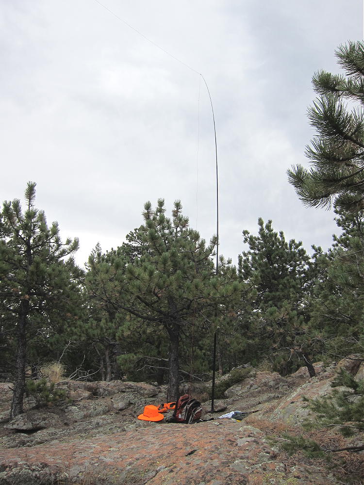
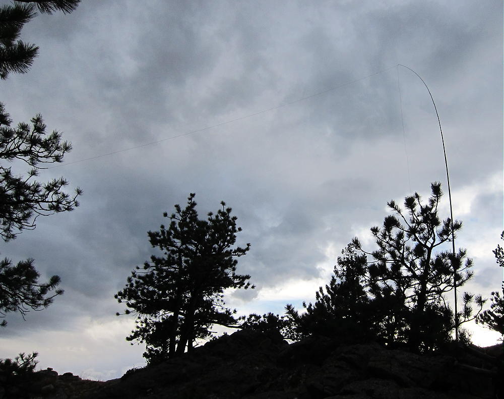
This was rather incredible, as I was running 5 watts to an end-fed inverted-L antenna up 19 feet. Perhaps it helped that I was on the north side of one of the summits, looking down the slope toward the northeast.
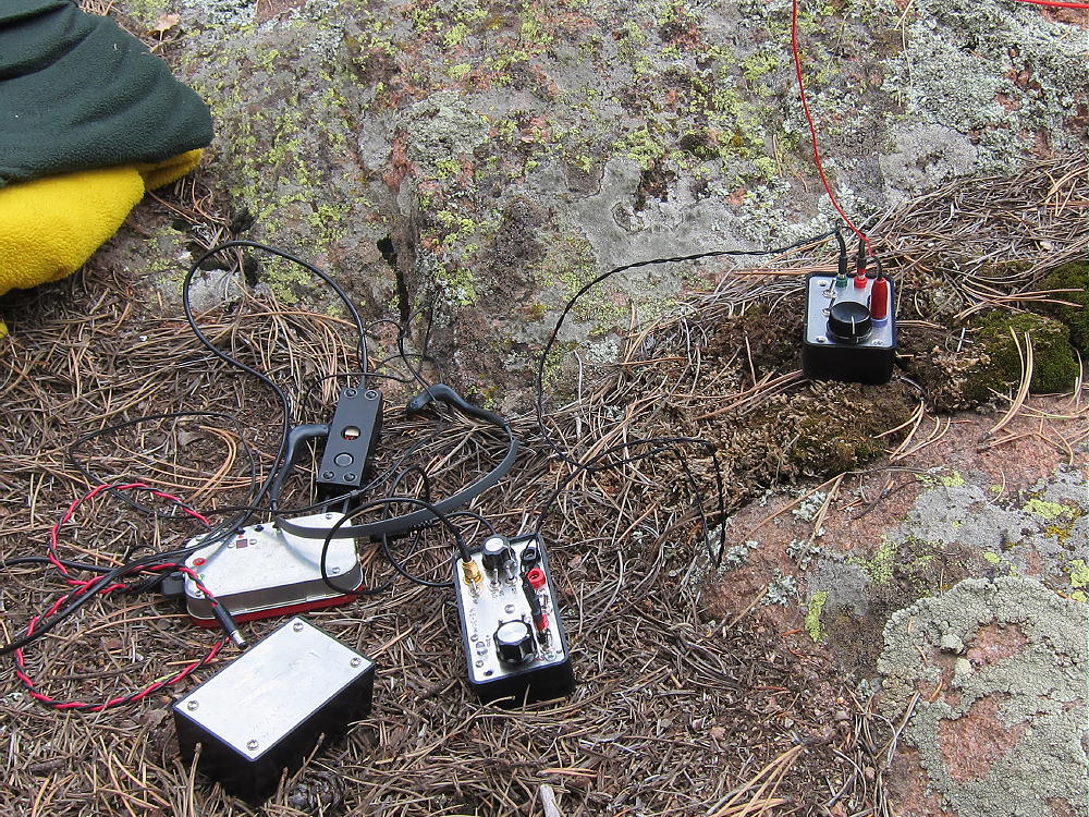
On May 23, 2015 I made 33 contacts on 20 and 30M CW from Cook Mountain. This was pretty good for a 1-point activation. There was no DX, but there were four S2S contacts with operators on other summits. I was using the same rig and antenna as in 2014.
The April 25, 2016 activation covered 40, 30, 20, and 17M CW. I made a total of 39 contacts, including one S2S contact on 40M with KT0A in the Black Hills.
Don’t be fooled by the one-point SOTA designation – Cook Mountain offers other rewards, with its secluded near-wilderness location, low HF noise, and large, rugged summit. The area is home to many wild animals, and few people venture up this quiet peak. Keep your eyes open if you go up there. Climbing Cook Mountain is a wonderful mini-adventure!
Hiking in Buttonrock Preserve is a special privilege. This is a watershed for the City of Longmont, and it’s a protected area. Longmont is very generous in allowing access to the public. It’s important to understand and obey the rules while in the Preserve. Fortunately, these rules are simple and clear:
• NO Camping
• NO Overnight parking
• NO Bicycles
• NO Horses
• NO Fires
• NO Hunting
• NO Firearms
• NO Boats or Floating Devices
• NO Swimming
• NO Resource Collection or Removal
• Fishing in the Reservoir requires a special permit
Note that hiking off-trail is NOT prohibited. Please respect and obey the Preserve rules so that continued access will be allowed.
73
George Carey Fuller
KX0R
 !! WARNING !! There are old mountaineers, and
bold mountaineers… there are no old-bold mountaineers.
Hiking and mountain climbing are potentially hazardous activities particularly in Colorado with its extreme elevations. I am not accepting responsibility for any death or injury resulting from activations based on my trip reports. Proper training, experience, and personal capability assessment is required – enjoy!
!! WARNING !! There are old mountaineers, and
bold mountaineers… there are no old-bold mountaineers.
Hiking and mountain climbing are potentially hazardous activities particularly in Colorado with its extreme elevations. I am not accepting responsibility for any death or injury resulting from activations based on my trip reports. Proper training, experience, and personal capability assessment is required – enjoy!