


W0C/FR-046
West White Pine Mountain
3141 m / 10305 ft
Oct 17, 2014
W0C/FR-146
East White Pine Mountain
3124 m / 10248 ft
Oct 17. 2014
by KX0R
This report covers both West and East White Pine Mountains.
The White Pine Summits provide a classic dual activation. These prominent twin peaks are almost the same altitude, and there is a trail leading conveniently to White Pine Pass, the saddle between the two mountains. Start early so you have time to activate both mountains.
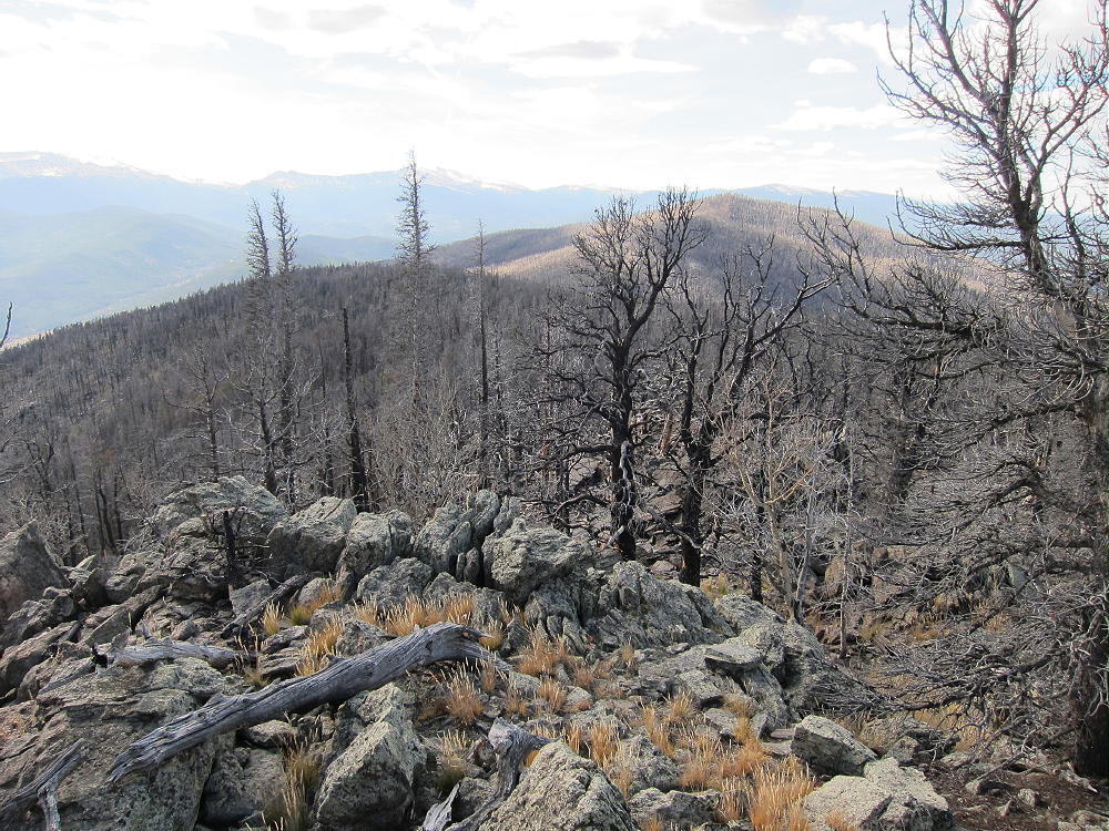
View from East White Pine to West White Pine
To get to the trailhead, drive to Masonville, and follow Road 27 up Buckhorn Canyon. This road and other roads in this area were badly damaged in the September 2013 floods, but they are being repaired. Check on conditions before starting your trip. About 10 miles from Masonville, the Buckhorn Road 44H splits off and heads west into Buckhorn Canyon. Follow 44H up the winding Canyon for many unpaved miles, until you come to a US Forest Service Ranger Station and some signs. Look for the sign for road FS 100, and park off the road before you come to the gate.
FS 100 is badly damaged and is closed to motor vehicles – it looks like it will be closed for a long time. The area north of Road 44H includes a huge tract of forest that was destroyed by the High Park Fire in 2012. This includes both of the White Pine Mountains, along with many square miles of previously beautiful forest. Begin by hiking up FS 100 for almost 2 miles, starting at about 8300 feet and gaining 1300 vertical feet at 9600 foot White Pine Pass. The first part of the route is not steep, but as the washed-out road gains altitude, it steepens, and parts of it are just deep gullies.
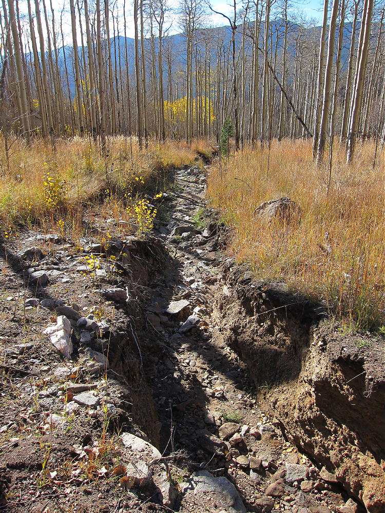
West White PIne Trail Flood Damage
Walk along the sides and follow the route up to a big meadow.
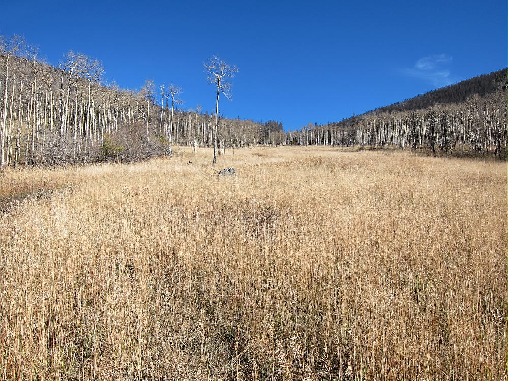
White Pine Meadow
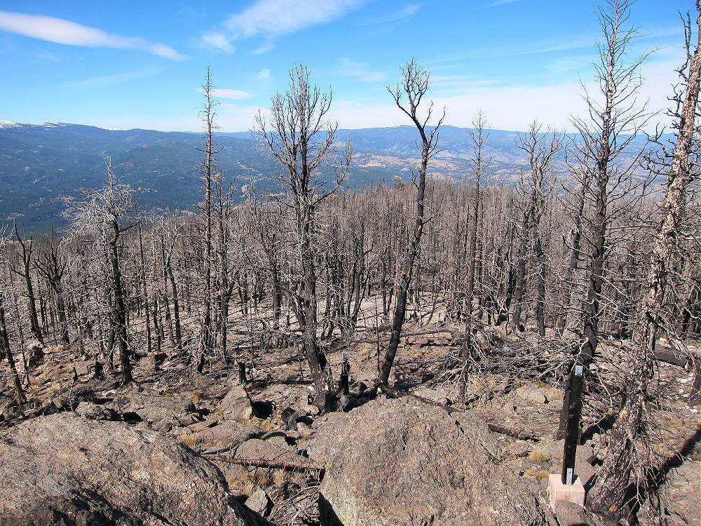
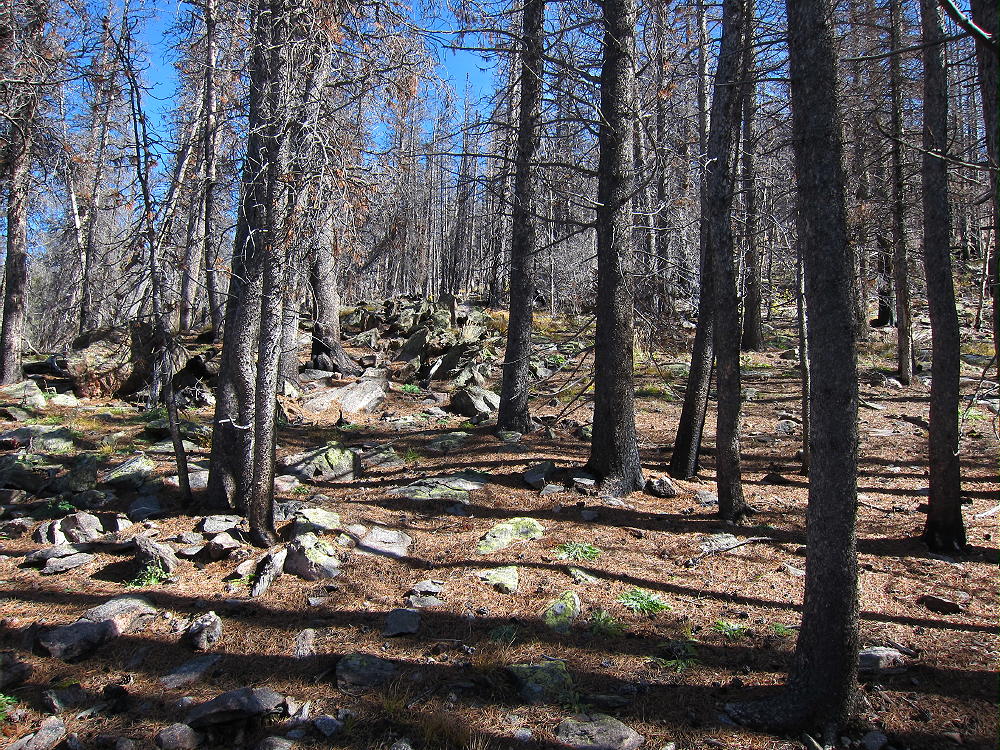
The route gets better as you go up, and there’s less damage. The forest up high is almost completely burned, but most of the black trees are still standing.
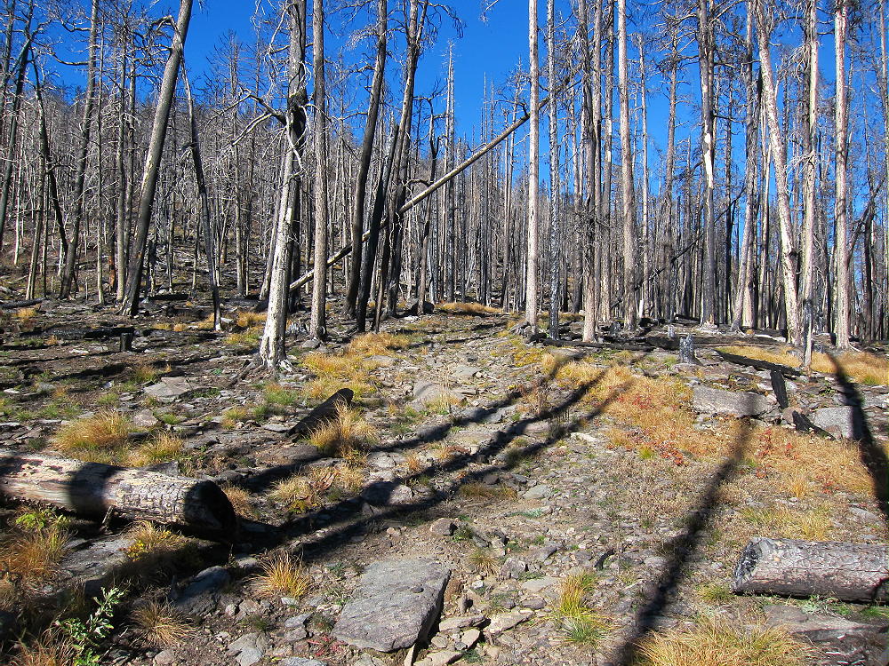
White Pine Pass
From the Pass head west, and continue to follow the road all the way to the summit of West White Pine Mountain.
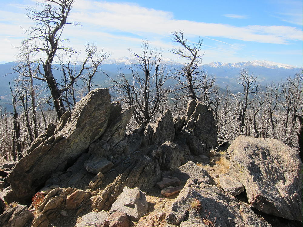
West White PIne Summit
There was once a large fire lookout tower up here, and the remains suggest what a beautiful place it once was. You can see the staircase that the ranger climbed to the tower, the base for the outhouse, the site of the cabin, the tower anchors, etc.
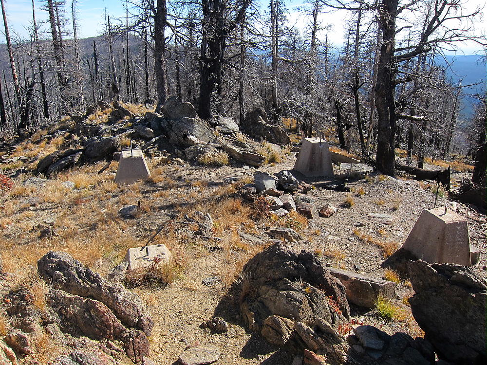
Footings for West White Pine Lookout
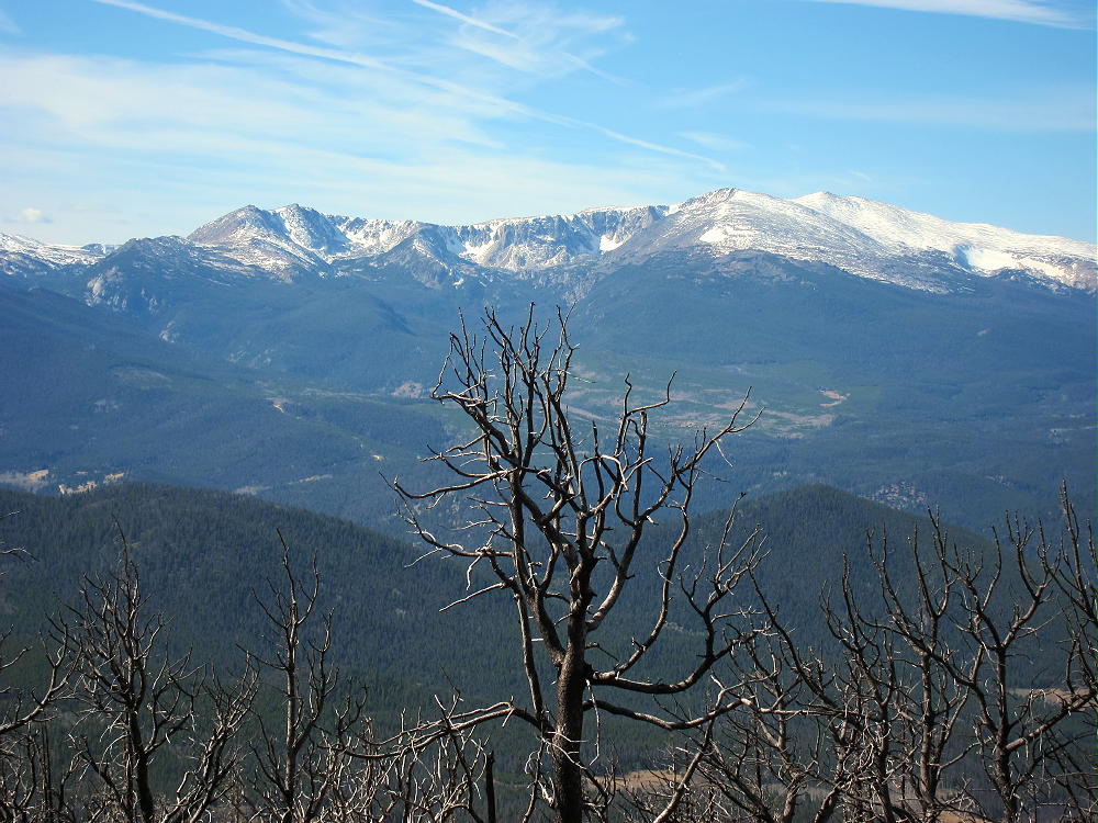
The view is incredible – most of Northern Colorado is out there. It’s easy to set up on or very near the summit and activate. HF, VHF, and UHF should work fine; it’s a great radio site. The hike is almost 3 miles to the top, with almost 2000 feet of gain.
-
- View West from West White Pine Mountain
-
- View across Pingree Park from West White Pine Mountain
-
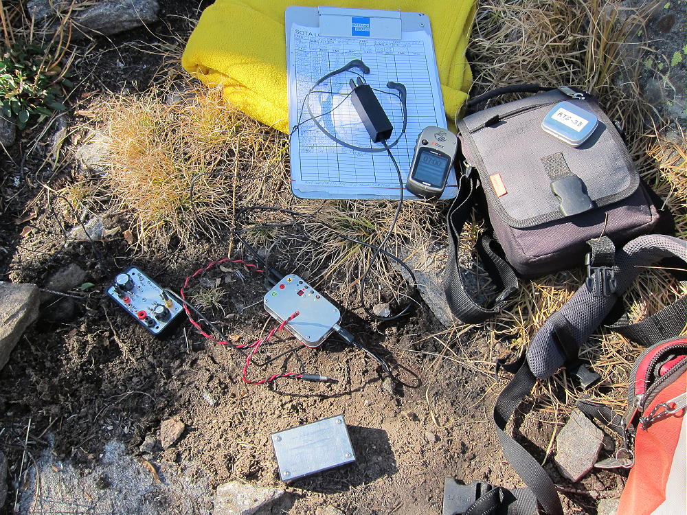
- West White Pine Radio Gear
-
- West White PIne Activation
After West White Pine, head back down the old road and back to the Pass. From the Pass hike east, up the slope, by any convenient direct route, and climb the west ridge of East White Pine Mountain. There is no marked route, but there are hints of a game trail. In spite of the burned forest, animals live there now – I heard elk bugling the day I was there. The route is steep at first, but it becomes easier after you get up higher on the ridge. You walk over an amazing amount of white quartz on this slope!
-
- East White Pine Ascent Route
-
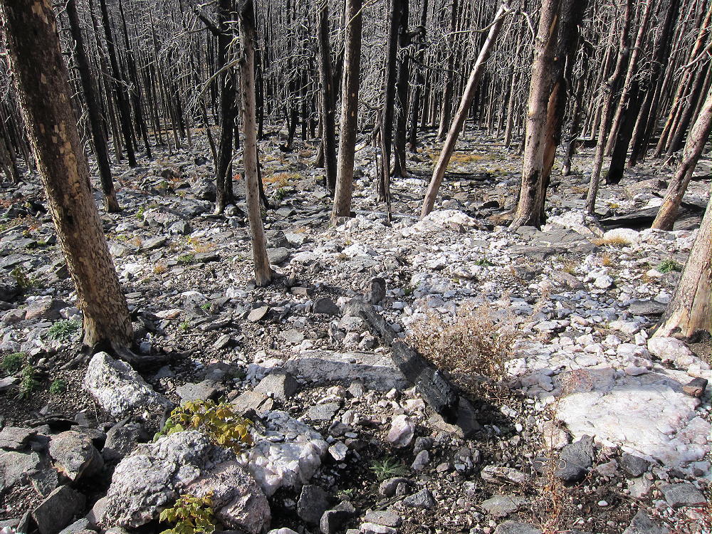
- Quartz on East White pIne
Past the 10,000 foot contour, just follow the ridge up northeast and east, for almost a mile from the Pass to East White Pine’s rocky summit. There are some live trees mixed in with the burned ones up there – not everything was destroyed. It’s easy to set up and activate near the top – and the view is much like on the western summit.
-
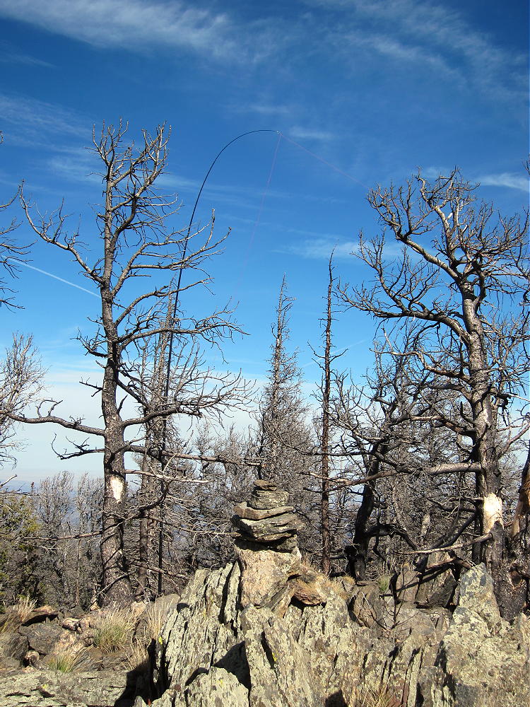
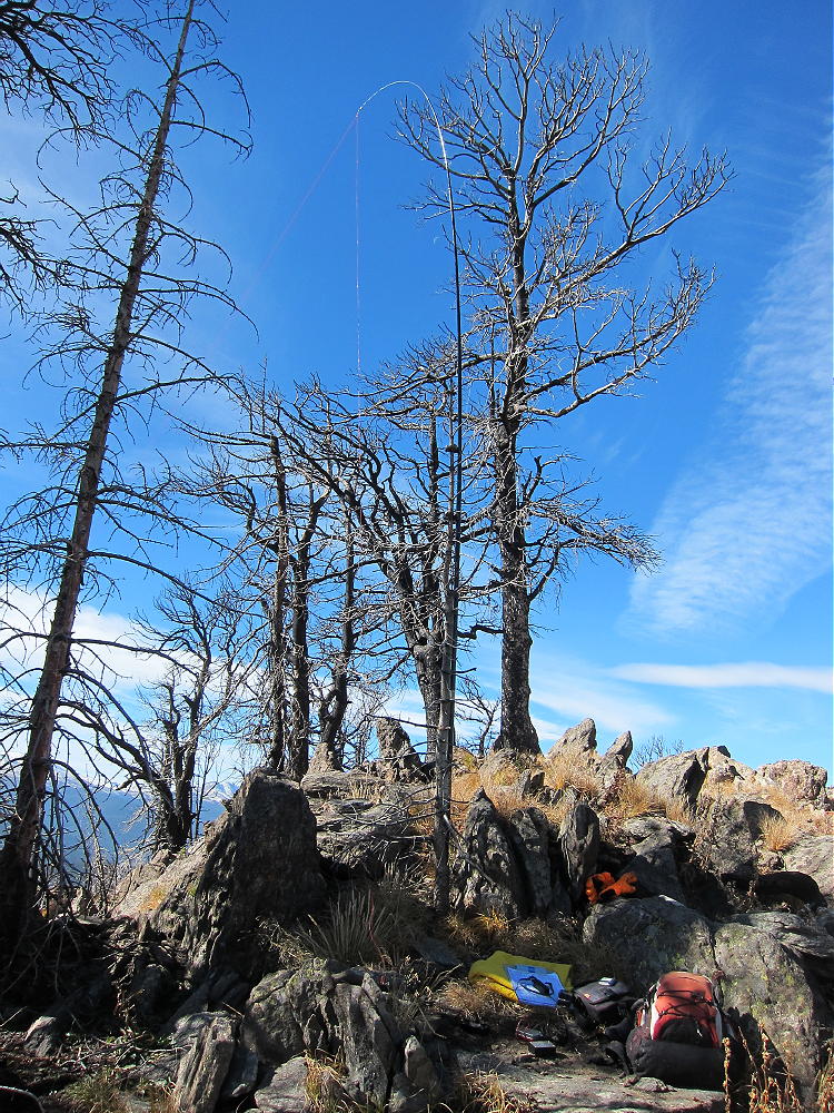
- East White PIne Activation
-
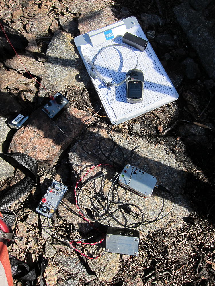
- East White Pine Radio Gear
-
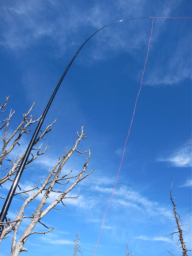
- East White Pine Antenna
Be sure to head back to White Pine Pass before descending to the south.
-
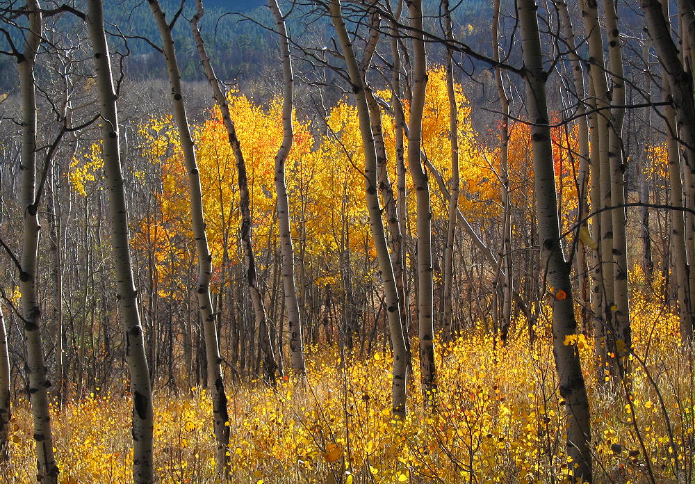
- Aspen Grove along White Pine Route
-
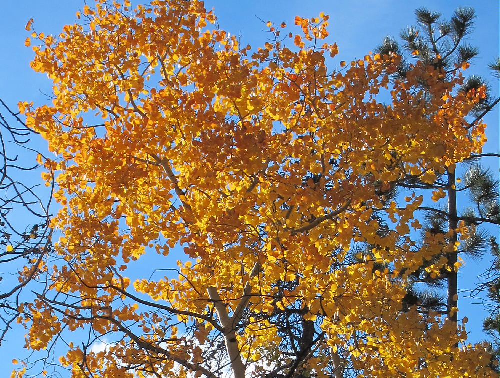
- Aspen along White Pine Route
This expedition was more fun than I thought it would be. It might be possible to activate in colder months, provided the snow is not too deep – but plan on using snowshoes. The burned forest does not retain the snow as long as a live forest does, but both mountains are well above 10,000 feet in a snowy part of our Northern Colorado mountains.
For the dual activation of both mountains, the total distance for the hike is 7.3 miles, and the total ascent is about 2600 vertical feet.
73
George Carey Fuller
KX0R
![]() !! WARNING !! There are old mountaineers, and
bold mountaineers... there are no old-bold mountaineers.
Hiking and mountain climbing are potentially hazardous activities particularly in Colorado with its extreme elevations. I am not accepting responsibility for any death or injury resulting from activations based on my trip reports. Proper training, experience, and personal capability assessment is required - enjoy!
!! WARNING !! There are old mountaineers, and
bold mountaineers... there are no old-bold mountaineers.
Hiking and mountain climbing are potentially hazardous activities particularly in Colorado with its extreme elevations. I am not accepting responsibility for any death or injury resulting from activations based on my trip reports. Proper training, experience, and personal capability assessment is required - enjoy!