W0C/FR-172
9166
2794 m / 9166 ft
Sep 16, 2015 First Activation
Aug 9, 2016 Second Activation
By KX0R
Summit 9166 is an obscure summit near Stove Prairie, west of Fort Collins, Colorado.
Key Points:
• Roosevelt National Forest
• Access via forest road
• No marked trail
• Game trails and serious bushwhacking
• Burned by the High Park Fire in 2012
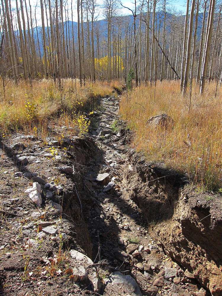
• Flood damage in 2013
• Rarely visited
• Fine HF site
• ~ 4.6 miles round-trip
• ~ 1400 vertical feet
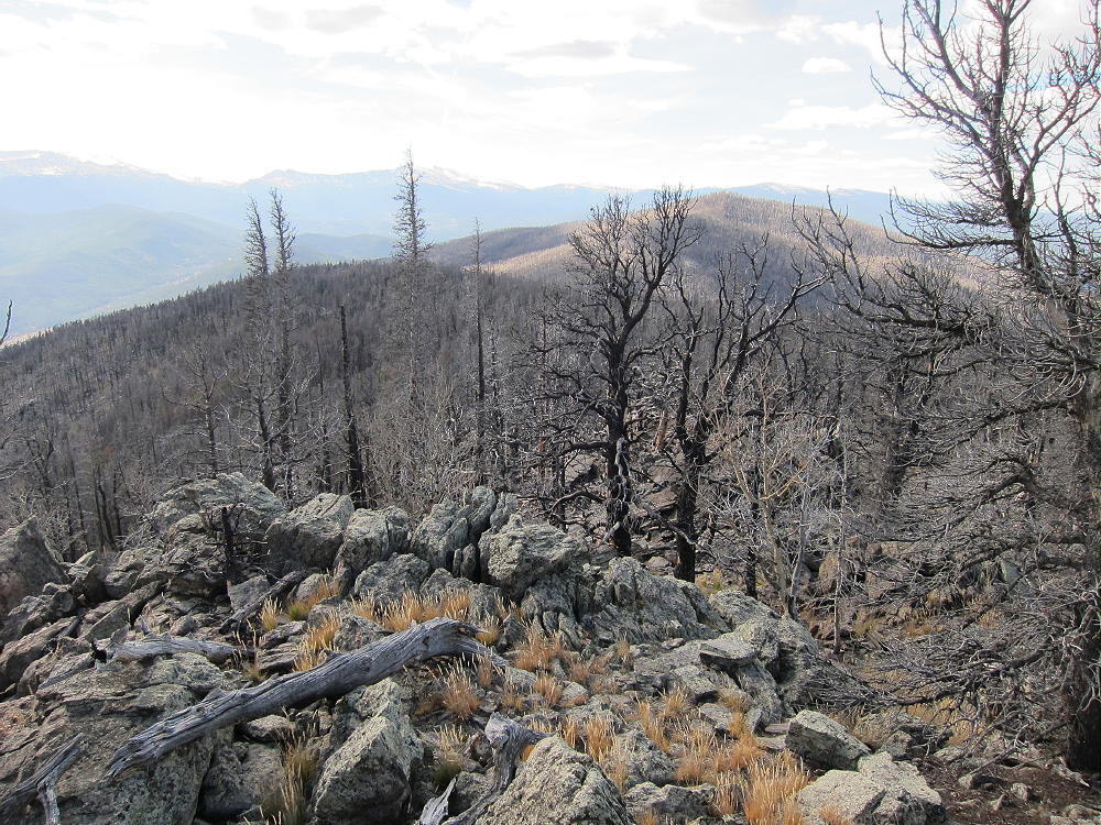
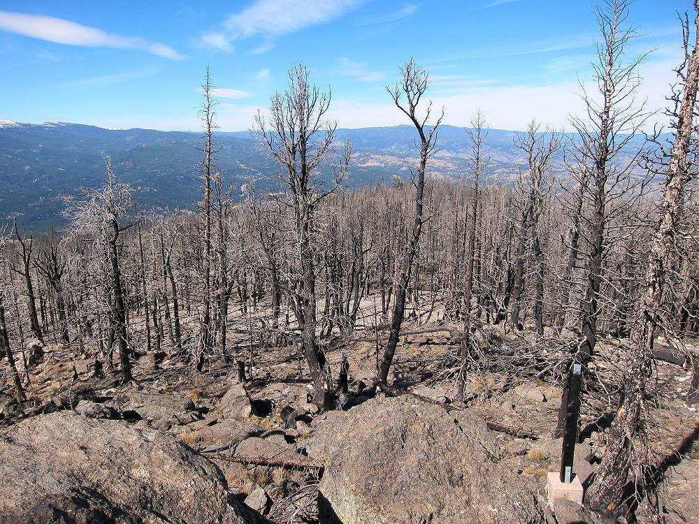
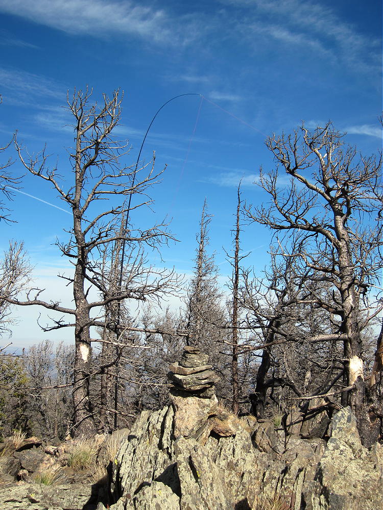
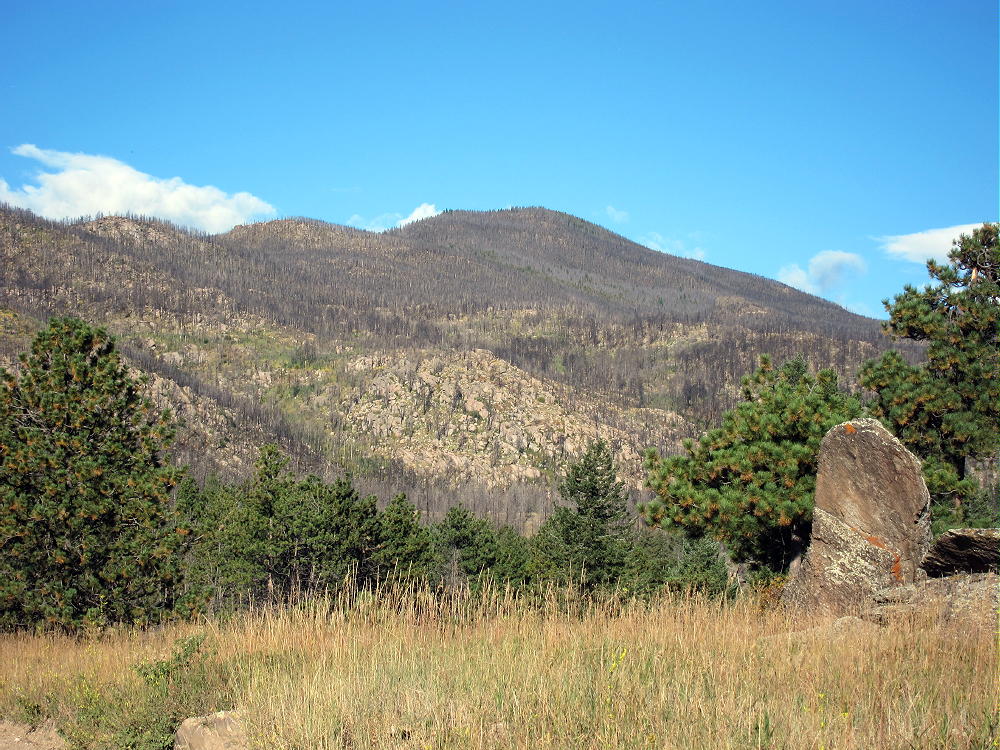
9166 stands about 3.2 miles west of Stove Prairie. Most of the peak and the surrounding forest burned in the huge High Park Fire of 2012. The torrential rains and resulting floods of 2013 further eroded and damaged the burned area. For a long time these parts of Roosevelt National Forest were closed to recreation.
In 2015 I learned that County Road 52E, the Old Flowers Road, was open to the public; this 4WD road provides access to 9166, as well as the National Forest further west.
Driving Directions:
• From Highway 287 in Loveland, drive west on Highway 34 about 6.5 miles
• Turn north on CR 27 and continue north about 5 miles to Masonville
• Follow CR 27 Buckhorn Road northwest about 13 miles to Stove Prairie
• Stove Prairie also can be accessed via Rist Canyon Road 52E from Fort Collins
• At the crossroads by the school, turn west on 2WD Road 52E
• Follow 52E about 3 miles through private ranches to the National Forest
• Continue west up a creek on Old Flowers Road FR-152 (4WD)
• The trailhead is about 2 miles west of the National Forest gate near the top of a big, open saddle at 8420 feet.
Road Details:
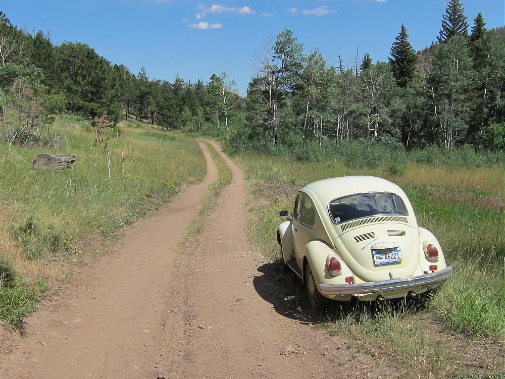
Initially 52E is a good unpaved 2WD road; it runs through several beautiful private ranches – driving by is OK, but signs warn that no parking or trespassing is allowed. After about 2 miles, 52E goes up over a low pass; then it descends through another ranch, down to a small creek. The Old Flowers Road FR-152 leads west up the narrow valley and enters the National Forest. The road shrinks, becomes rougher, and starts to look and feel like a jeep road. I was able to drive my old VW bug over a mile, up to a steep section east of the trailhead. There are a few pullouts and informal campsites along the road.
Where Old Flowers Road leaves the ranch property and enters the National Forest there’s a gate. Please check with the USFS to find out if the gate’s open. It’s likely closed for most of the winter and spring.
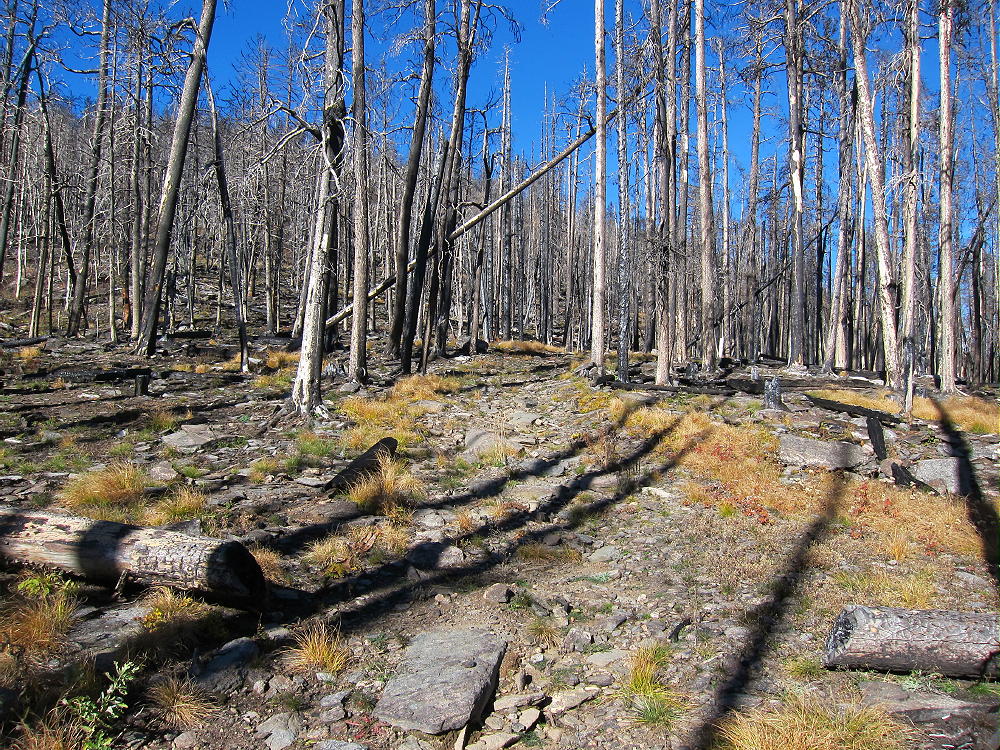
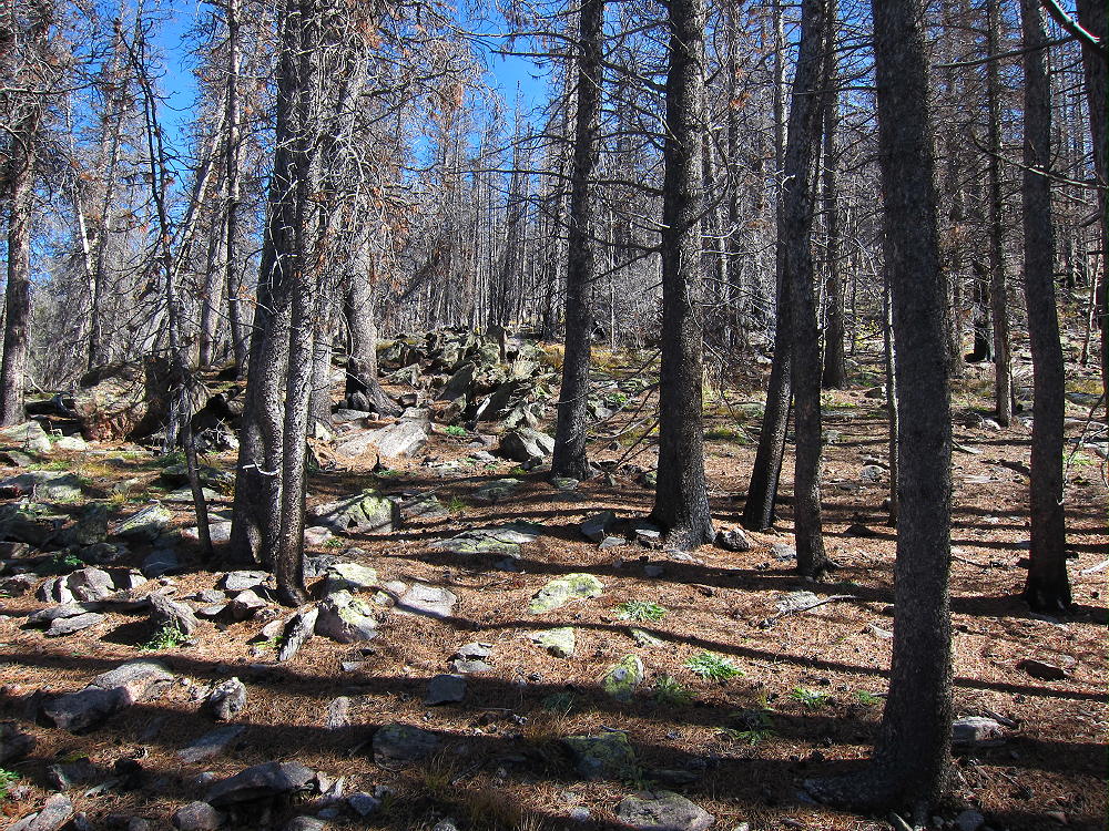
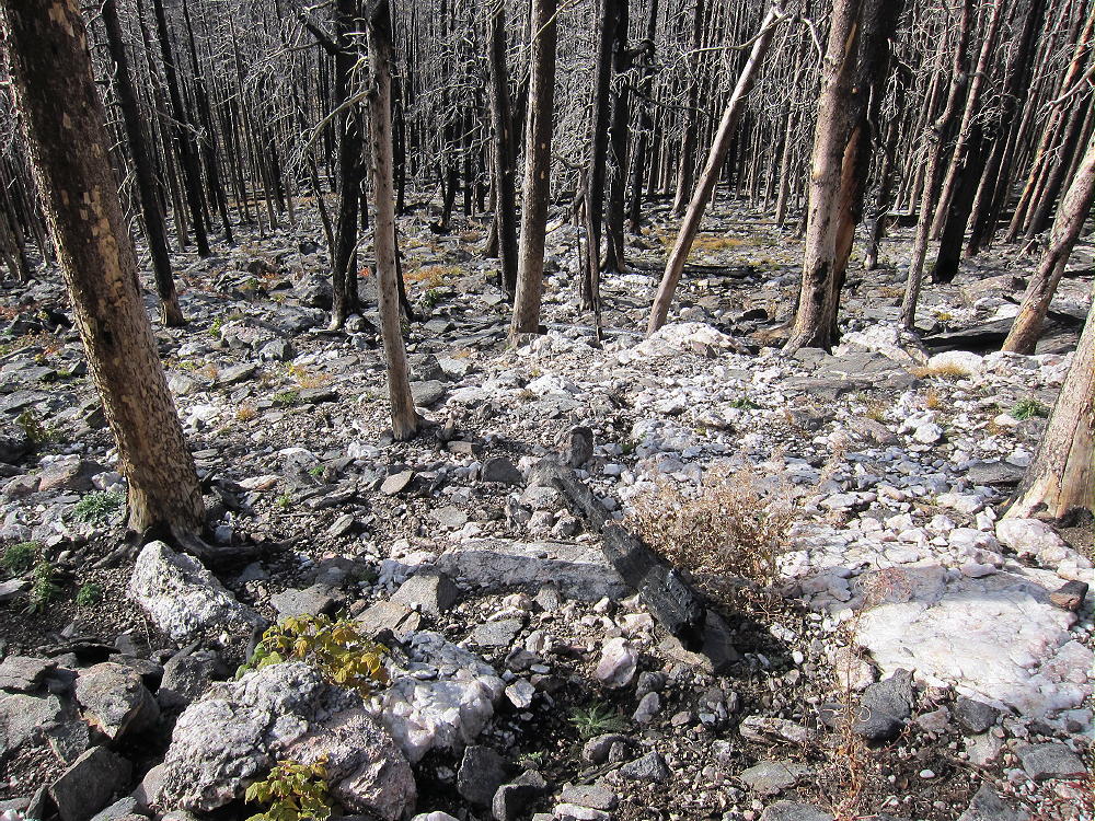
Except near the creek, most of the forest back there is burned up. Almost all the trees are black, but most are still standing. The area is now full of weeds and other plants that came in after the fire.
The Hike:
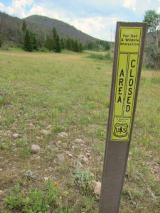
• From the top of the pass at 8420 feet, walk west a short distance along the road to a Forest Service marker that prohibits access to motorized vehicles.
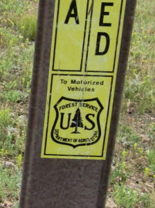
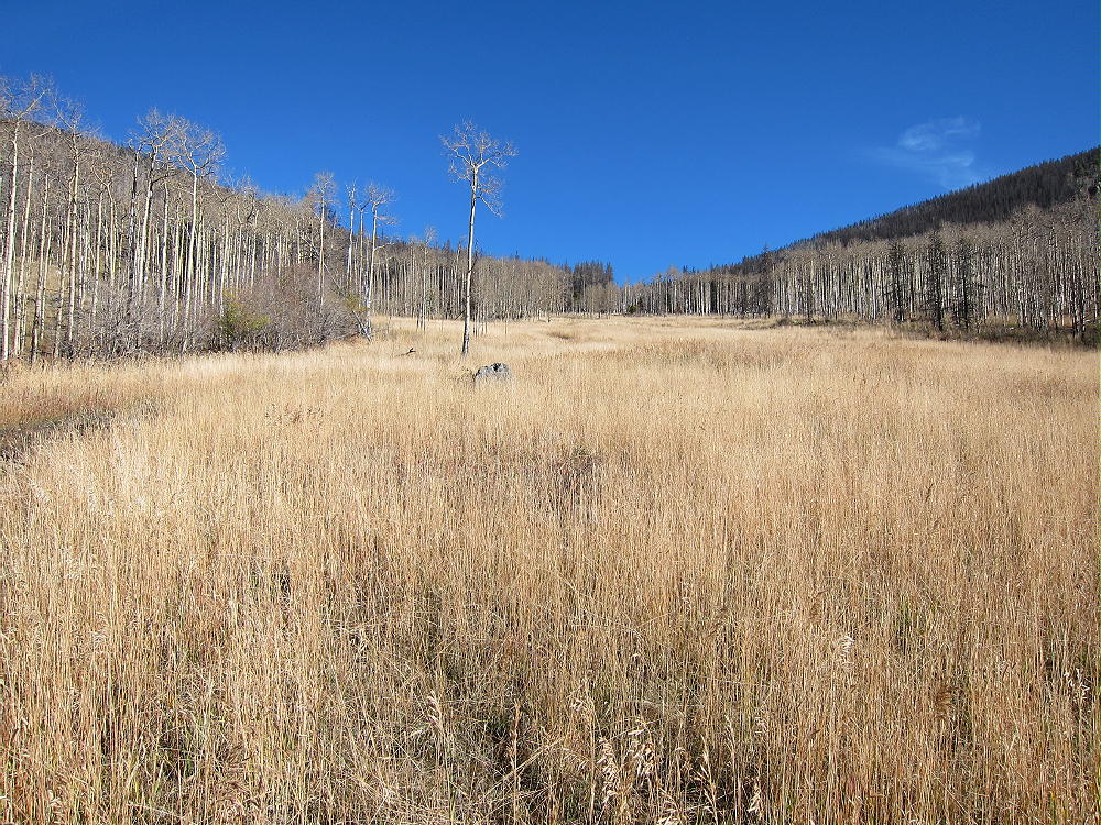
• Hike south along a track into a huge meadow
• Follow a game trail along the east side of the meadow for about ¼ mile
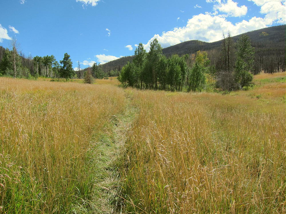
• Head east up a draw, on a good game trail, to the saddle at 8700 feet, north of 9166
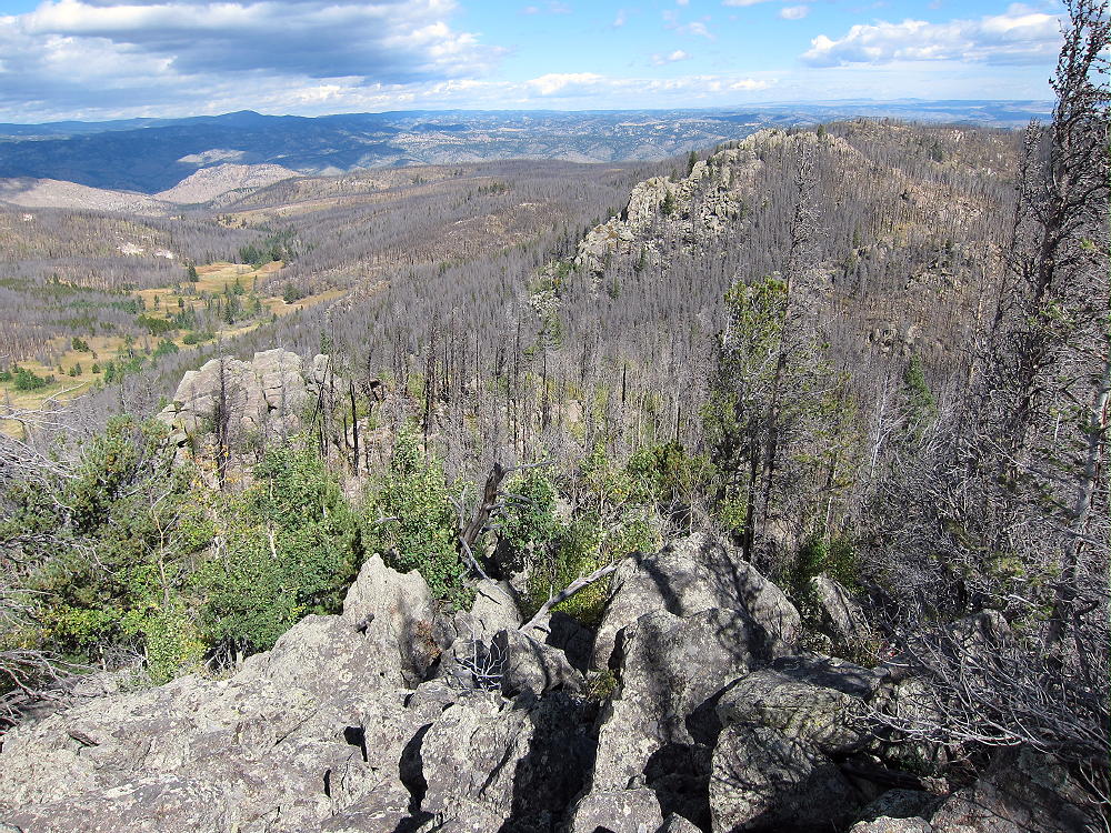
• Hike south on rough game trails up the rocky north ridge of 9166
• The summit is only about 0.3 miles from the saddle at 8700 feet
• The ridge has plenty of thickets, deadfall, and other challenges
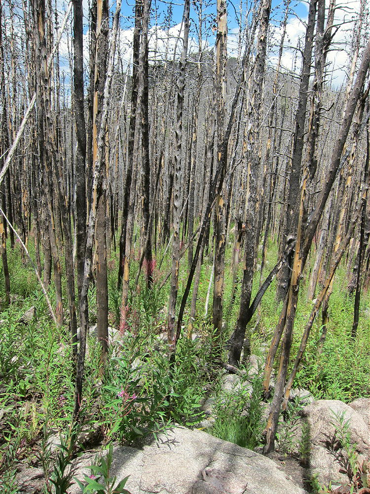
• In spots you can choose between scrambling up big rocks or bushwhacking through hells of small trees!
• The route gets much nicer near the summit
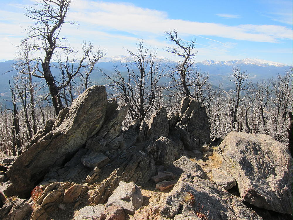
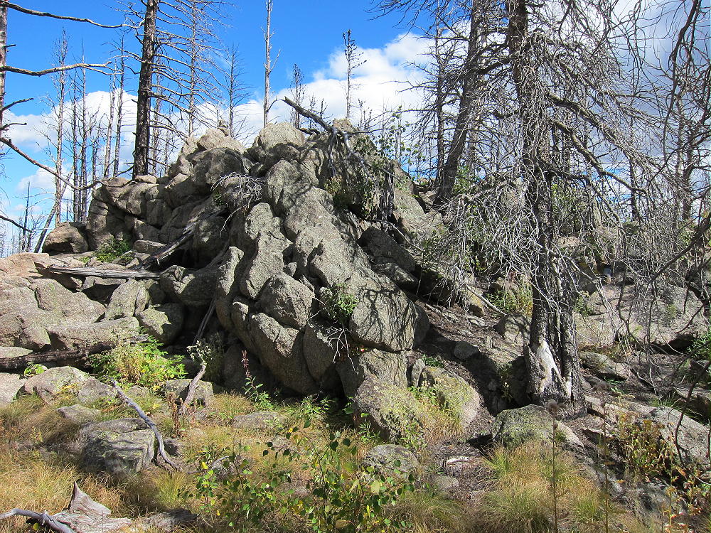
• The peak’s at the top of a large rock outcrop in a relatively flat area.
Summit Details:
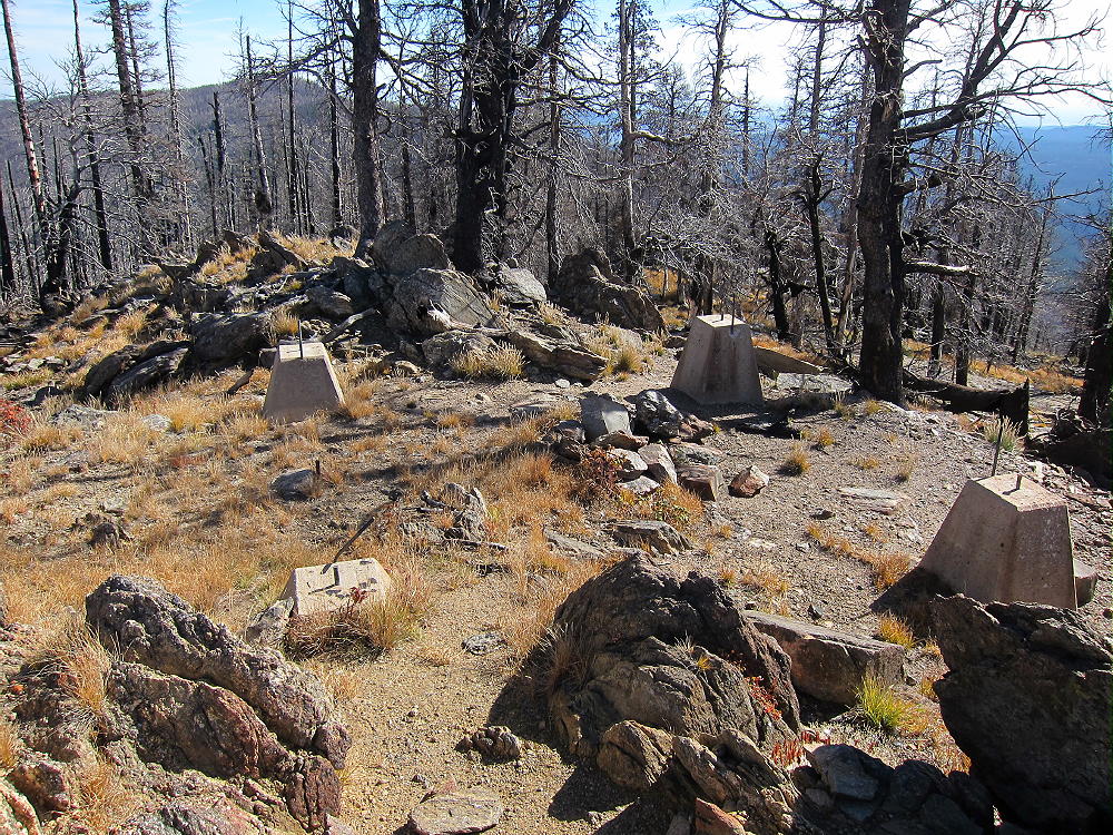
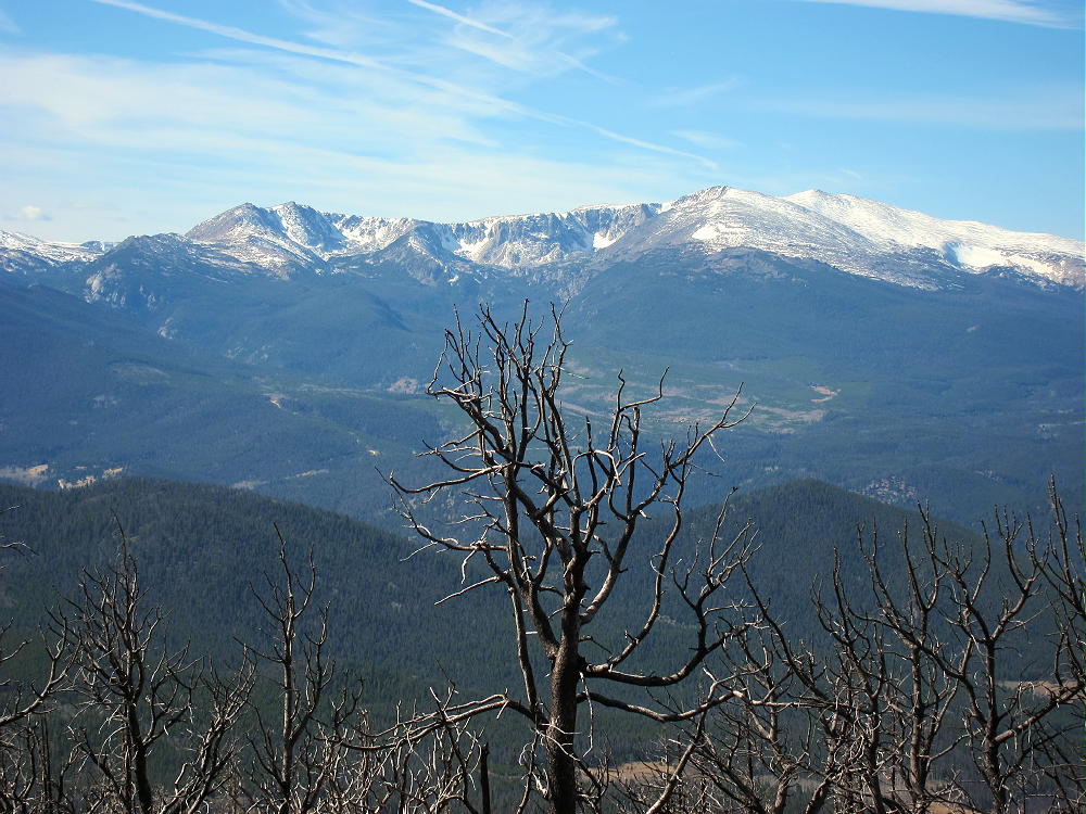
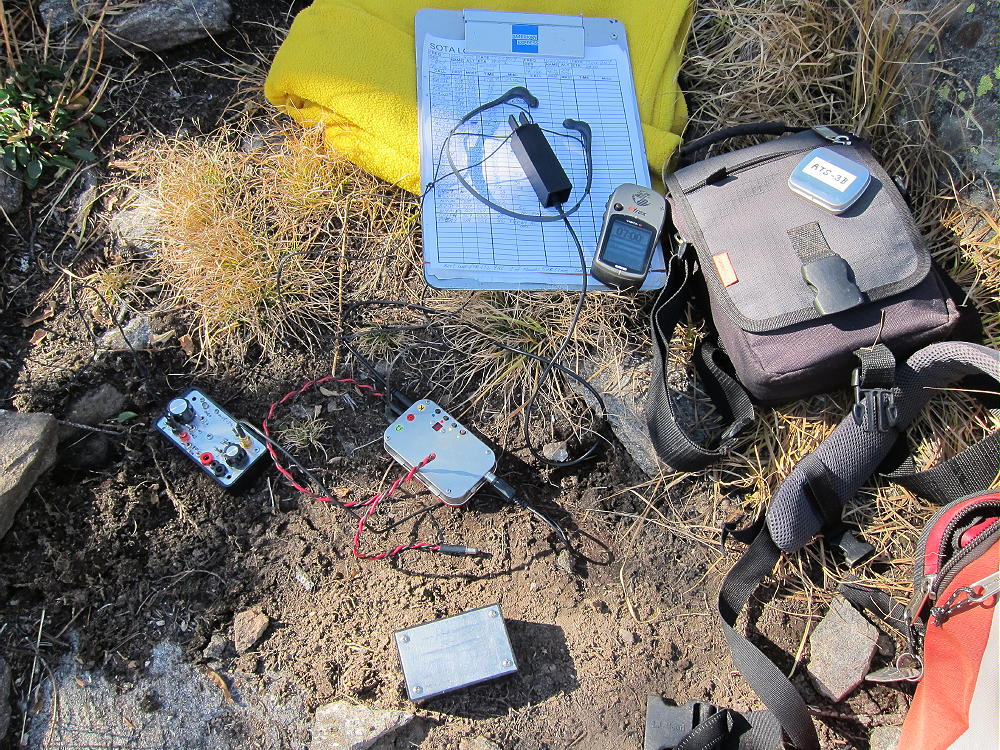
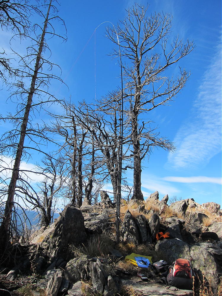
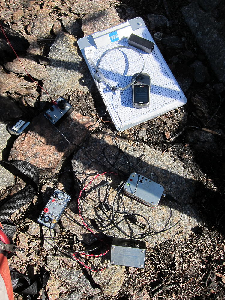
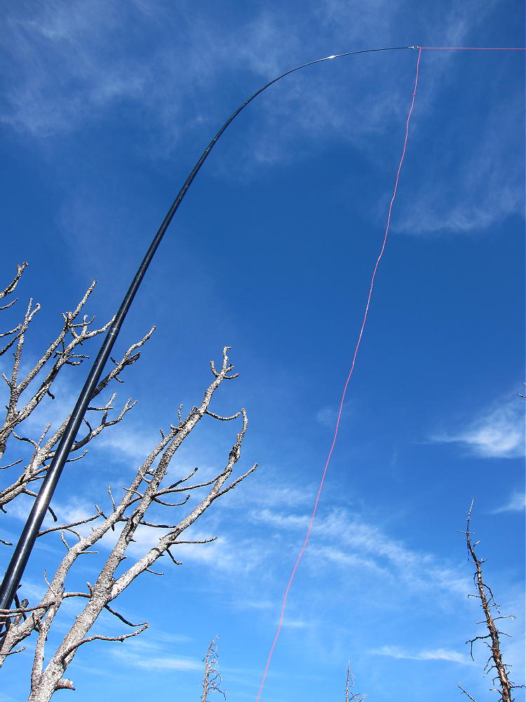
The activation zone of 9166 is large, with plenty of dead trees for supporting a pole or antenna wire. The mountain has a pretty good view east to the Plains – I could see a wind farm out near the Wyoming state line. East White Pine Mountain stands higher to the southwest, but the raised horizon is no problem in that direction. HF propagation should be fine in most other directions. There’s limited VHF/UHF coverage to the east. With no development close by, the RF noise level is very low. 9166 is an excellent SOTA peak, once you get up there.
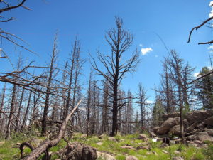
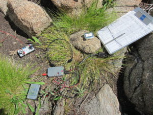
When I first climbed 9166 in 2015, I left FR-152 northeast of the mountain near 8000 feet and began ascending southwest up the valley there. That route was so overgrown that I climbed up to the saddle at 8700 feet on the north ridge; I continued up the ridge as described above. The route up the grassy valley northwest of the mountain is far superior to anything northeast of the peak.
When I was on 9166 in 2015, there was no evidence that anyone had visited the peak for a long time. This is probably one of the least-visited SOTA peaks near the Front Range area.
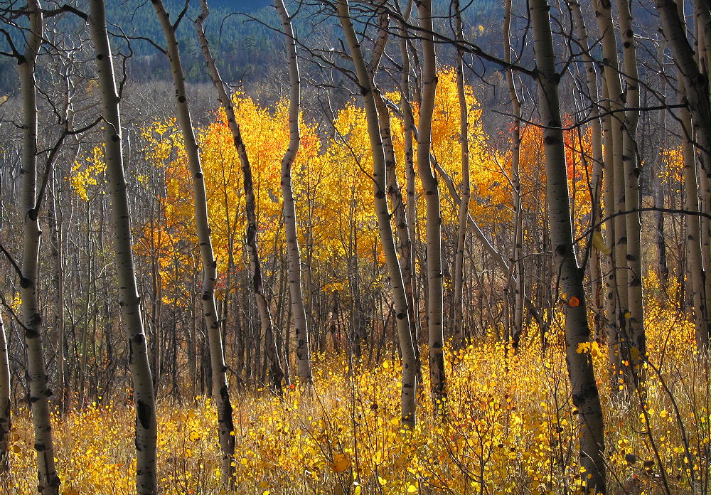
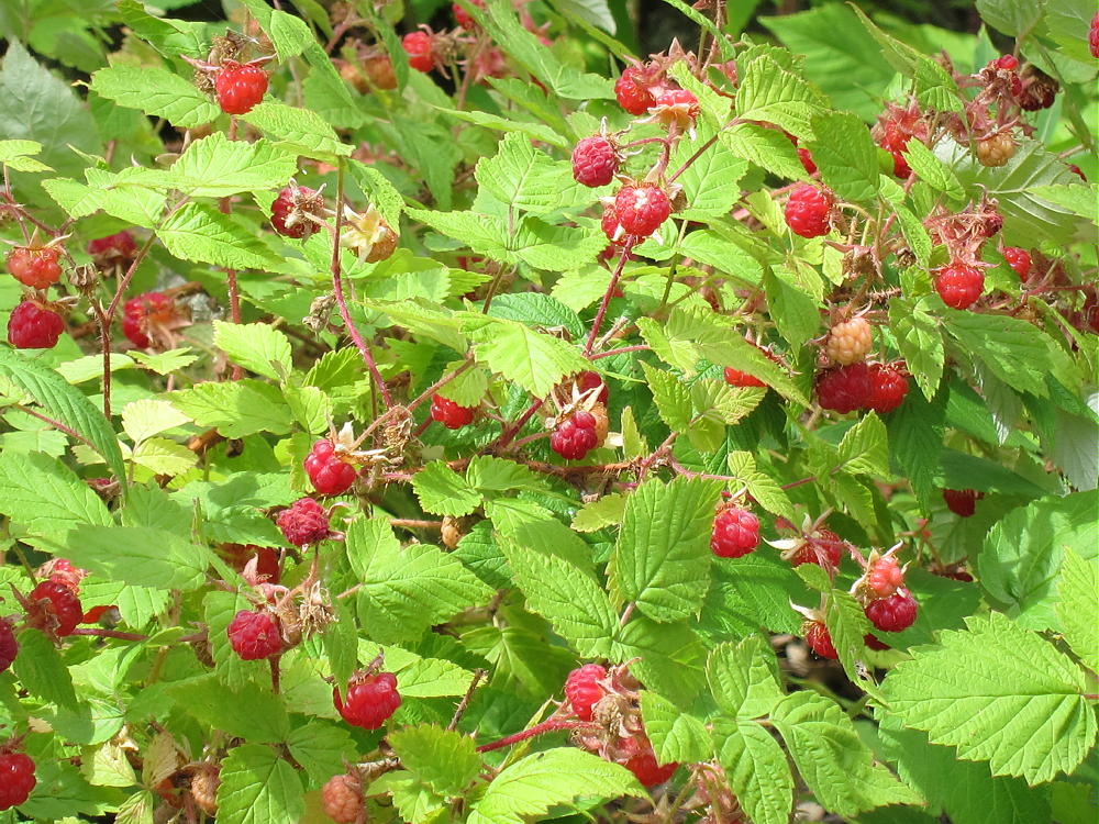
On August 9, 2016, the north ridge and the summit area were covered with millions of ripe raspberries. It was incredible – these plants flourish after a big fire!
9166 could be combined with other SOTA peaks in the area for a dual activation:
W0C/FR-046 West White Pine Mountain
W0C/FR-146 East White Pine Mountain
W0C/FR-198 7980
W0C/FR-097 Sheep Mountain
W0C/FR-205 7612
W0C/FR-088 Mount McConnel
It might be possible to hike the burned northeast ridge of East White Pine mountain to Summit 9166 and back. It’s more than 2 miles from one summit to the other. Possibly all three summits could be done in one very long day: West White Pine, East White Pine, and 9166. The access from Old Flowers Road might work as well as the washed-out Forest Road/Trail 100 from Buckhorn Road.
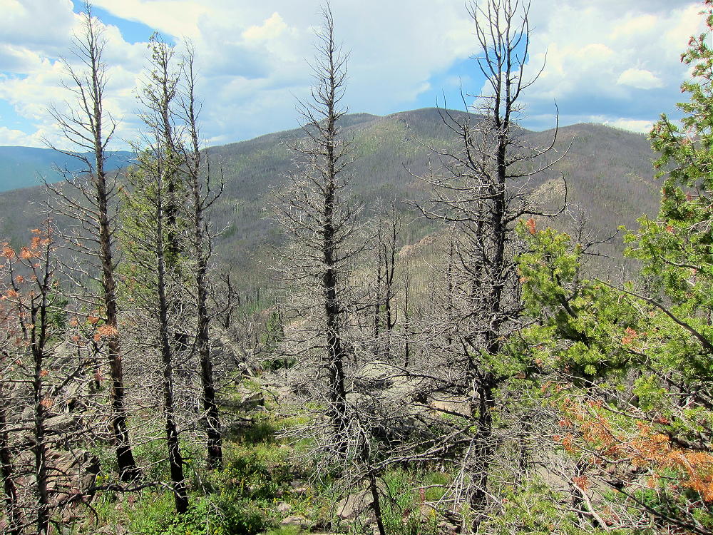
Don’t try this unless you’re Superman…the route requires miles of bushwhacking through burned forest.
73
George
KX0R
 !! WARNING !! There are old mountaineers, and
bold mountaineers… there are no old-bold mountaineers.
Hiking and mountain climbing are potentially hazardous activities particularly in Colorado with its extreme elevations. I am not accepting responsibility for any death or injury resulting from activations based on my trip reports. Proper training, experience, and personal capability assessment is required – enjoy!
!! WARNING !! There are old mountaineers, and
bold mountaineers… there are no old-bold mountaineers.
Hiking and mountain climbing are potentially hazardous activities particularly in Colorado with its extreme elevations. I am not accepting responsibility for any death or injury resulting from activations based on my trip reports. Proper training, experience, and personal capability assessment is required – enjoy!