


W0C/FR-064
West Crosier Mountain
2749 m / 9020 ft
W0C/FR-057
Crosier Mountain
2819 m / 9250 ft
Sep 6, 2014
by KX0R
Please see K0MOS’s excellent report on Crosier Mountain for details on the trailheads, access, etc. Much of my report here deals with the dual activation of both summits.
Crosier and West Crosier Mountains are twin summits located several miles north of Estes Park, near Glen Haven. With an early start and good weather, both mountains can be climbed and activated in one expedition. These two peaks make a good 8-point SOTA day.
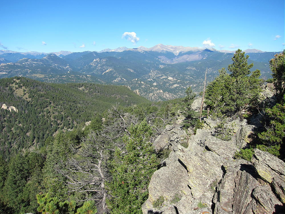
Crosier Mountain View – West Crosier and Mummy Peak
There are three public trails to Crosier Mountain. These trails, and most roads and trails nearby, were closed after the 2013 floods. I chose the Crosier Rainbow Trail 981, because I had information that it was open, and that the parking was OK. Good parking is available at the “gravel pit” trailhead along road 43, on the south side of the road, about 1.4 miles down the creek from Glen Haven. There are signs at the start of the trail.
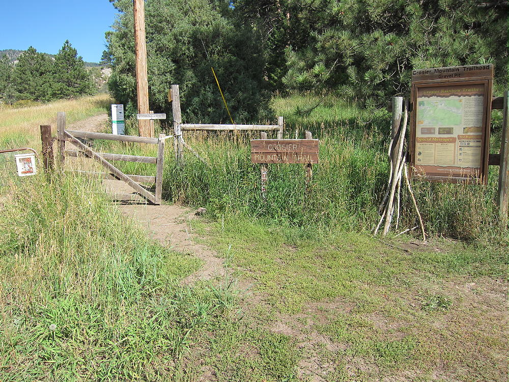
Rainbow Trail-head and Signs near Gravel-Pit
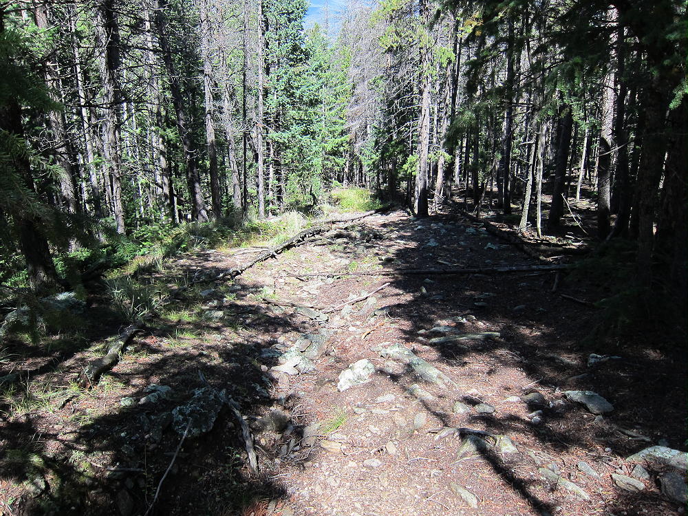
Take plenty of water. Climb up moderately steep, efficient trail 918 about 2 miles to a T-junction with Trail 931.
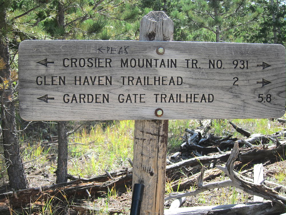
Sign at T-Junction of Trails 918 and 931
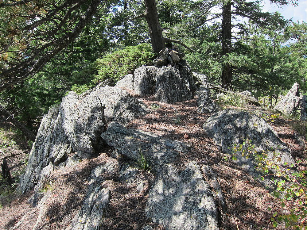
Turn southeast at the signed trail junction, and continue about a mile to the signed junction with the Summit Trail. Turn right, west, and climb about ½ mile up the southeast side of the mountain. The trail is pretty good. The summit is large, with some nice rocks right at the peak.
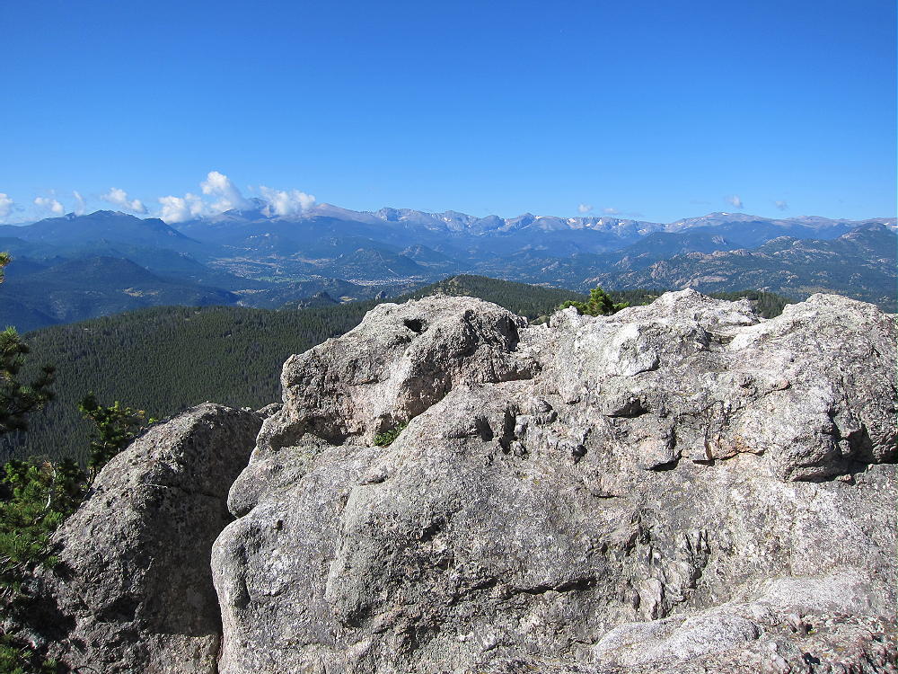
Crosier Summit and View West to RMNP
I set up about 100 feet southeast of the peak, at a convenient open spot with nice views. I ran my 67 foot end-fed wire southeast across the large meadow, and tied it off with a long Dacron string to an elevated tree on the far side. This was an excellent antenna!
Crosier Mountain Activation Site
A few people climb Crosier. There is private space in the woods on the northwest side of the summit. The southwest side looks down over 1000 vertical feet. There are nice views, and the mountain top is wonderful on a good day!
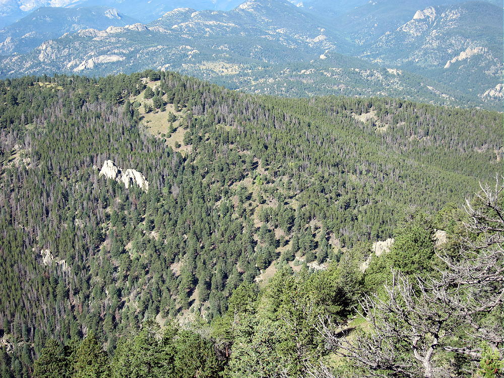
To connect with West Crosier, it’s tempting to descend the west ridge and find a way directly down to the saddle between the two mountains. There are cliffs and huge rocks on the west side of Crosier, and it’s steep. There probably is a workable route, but it may require dropping down steep, rocky gullies between the rock formations. There is no way to find it quickly from above. If you go too far north, there is a large, dense lodge-pole forest on the north and northwest side of Crosier that is surely Hell. It extends around to the northeast side and even along the trail. It looks difficult to penetrate.
West Side of Crosier Mountain from West Crosier Mountain
I decided to take the “better safe than sorry” approach to West Crosier.
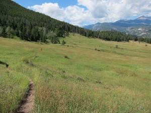
I followed the summit trail back down to the junction with the main trail 931, turned northwest, and followed 931 back to the signed junction with Rainbow Trail 981, and then I continued down 931 about ¼ mile to Piper Meadows. This is a huge, beautiful meadow with open views to the northwest.
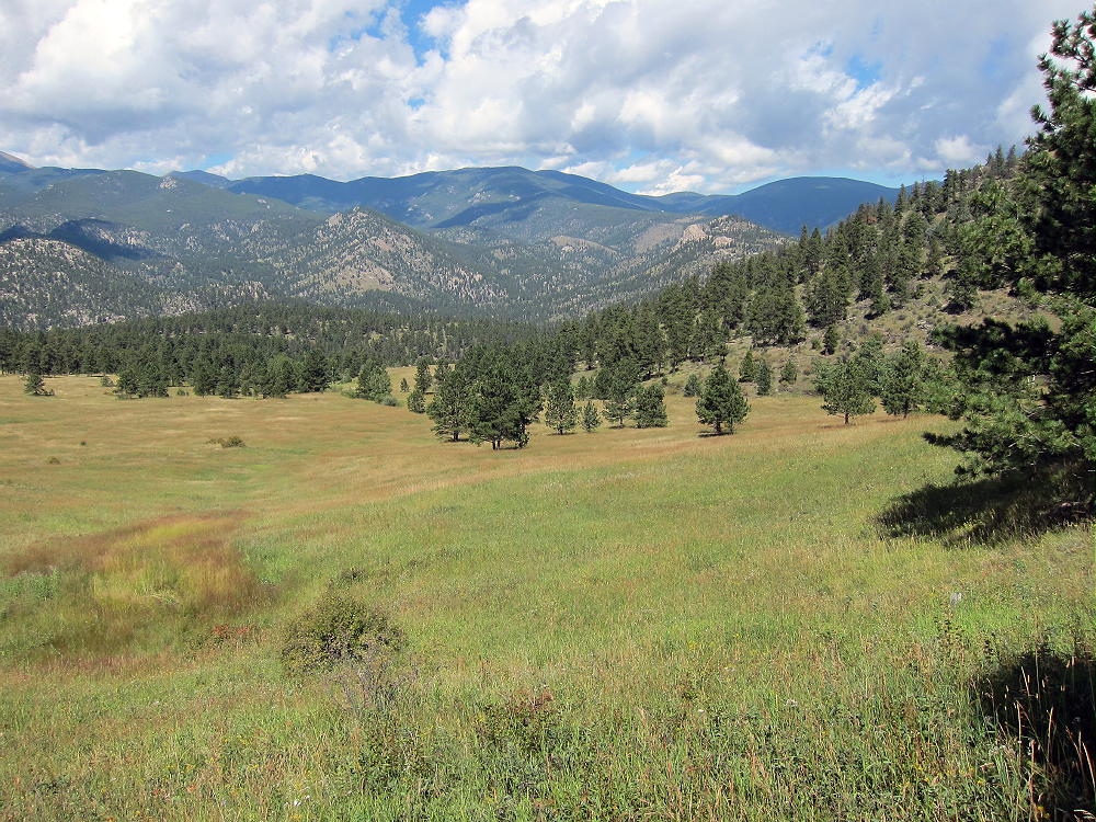
Piper Meadows View North
The trail through the Meadows leads down to Glen Haven. At Piper Meadows there is a sign for the H BAR G Ranch, which is about 1-1/2 miles to the southwest.
-
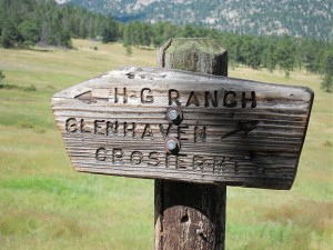
- H-BAR-G Ranch Sign at Piper Meadows
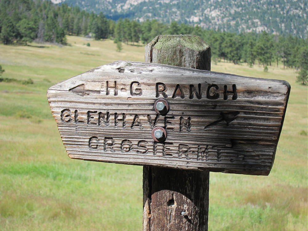
-
- Piper Meadows Trail to H-Bar-G Ranch
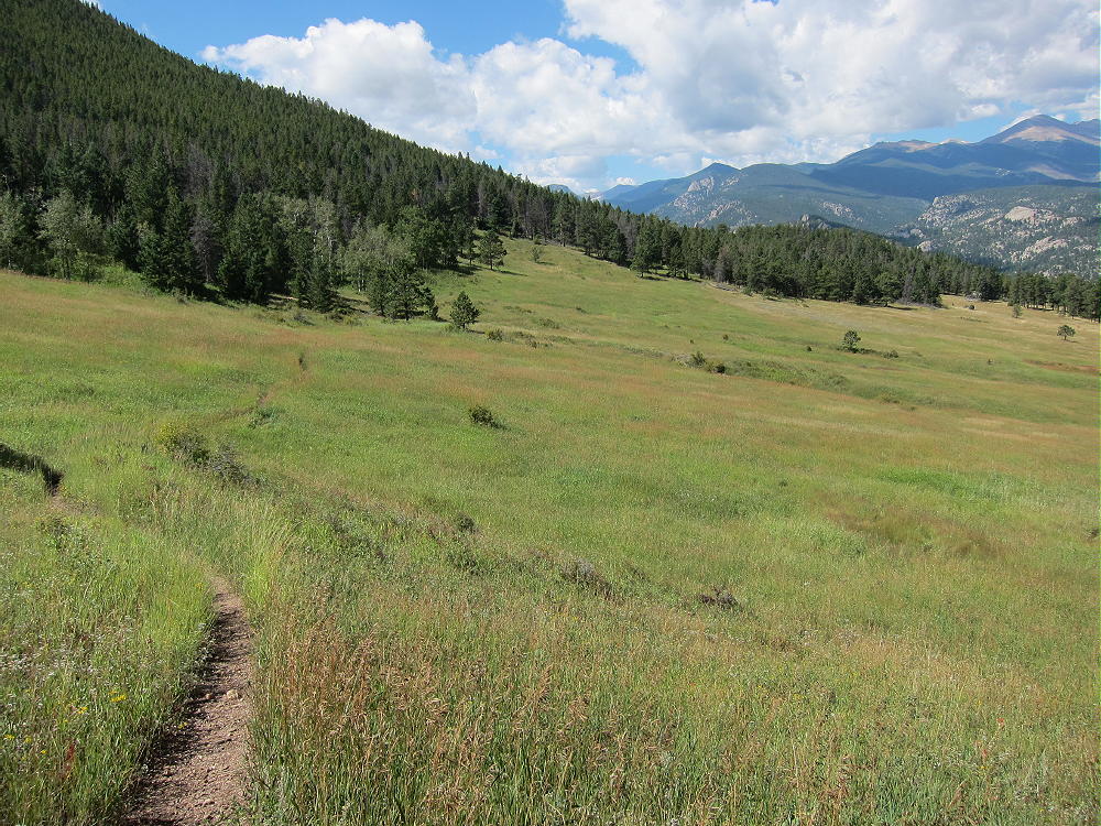
Follow the small trail southwest toward the H BAR G Ranch – walk only about 100 yards past the sign; then turn southeast, uphill, and climb up through the meadow and into the woods. Find the remains of an old abandoned road that ascends southeast, all the way to the Crosier – West Crosier Saddle. This road follows a small creek-gully that descends from the Saddle. The road is just east of the gully. Remember that you want to go to the Saddle, and you’ll have no trouble finding this obvious road.
Old Secret Road to West Crosier Saddle
It’s an easy hike up to the Saddle. The road ends there at a teepee and fence, but nothing is posted or signed. This is beautiful country!
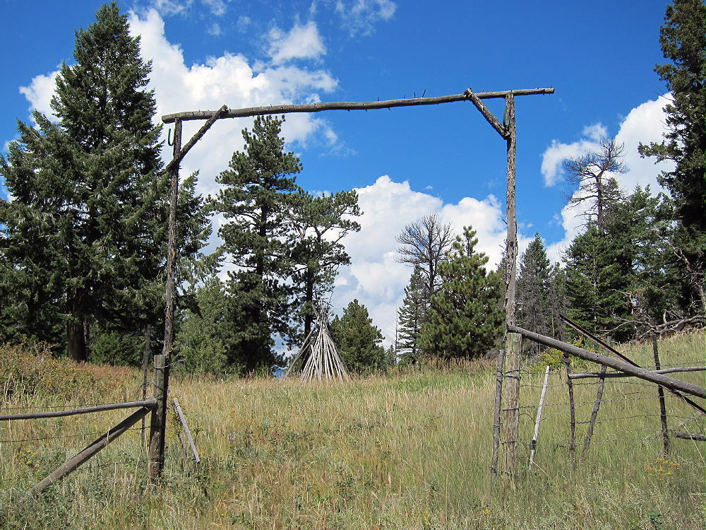
Gateway at Crosier-West Crosier Saddle
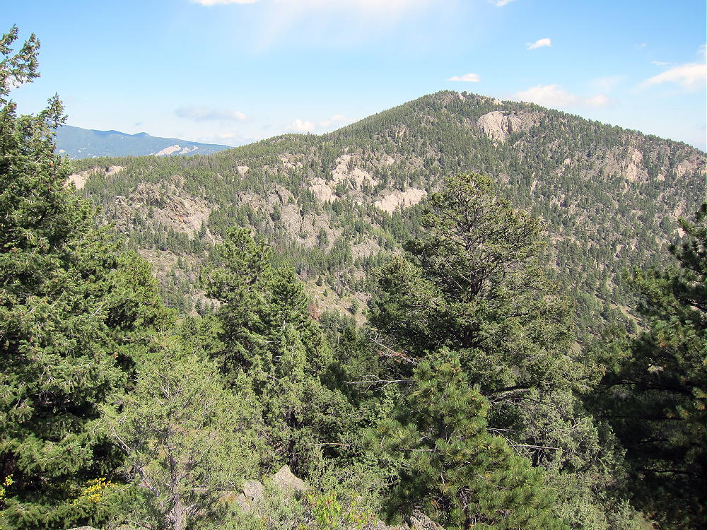
Follow the ridge southwest from the saddle – look for the remains of a barb-wire fence – there is a decent trail that leads up southwest, on the southeast side of the ridge, right along the old fence line. It’s still used occasionally by horses. Follow this trail about 1/3 mile, climbing about 300 vertical feet, and then head west, directly up toward the peak. If you go to an obvious fence corner along the trail, head up from there – you’ll climb right to the top. There are several false summits to the southwest – the real peak is the northeast knob on the big hill.
West Crosier Summit from Crosier Summit
It takes only 1-1/2 to 2 hours to hike from Crosier summit to West Crosier Summit via the route detailed here. This may be better than the short-cut down the tricky, steep west side of Crosier. No matter how you go, aim for the saddle between the two peaks. Since there’s a trail up the southeast side of the ridge from the saddle, that’s where you need to be. The summits of both peaks are in the National Forest, and the spots that touch private land are not posted or otherwise marked. Very few people visit West Crosier, but it’s a perfect SOTA peak with nice big trees on top, including a large ponderosa pine right on the summit. There are rocks for shelter from wind, sunny spots, and it has just the right amount of open space for running an antenna without trouble from too many trees. The view of Crosier is impressive. This summit delivers a private, pleasant activation!
-
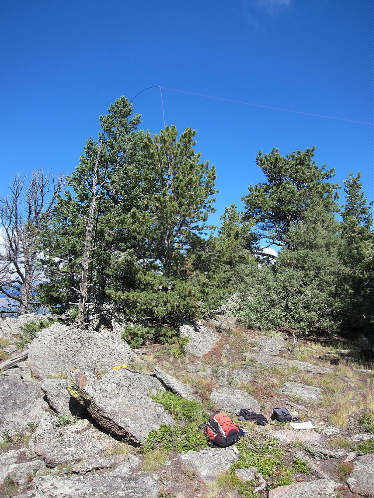
- West Crosier Summit
-
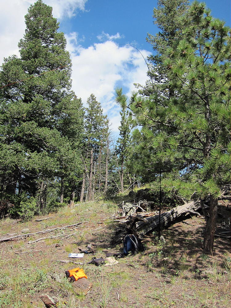
- West Crosier Activation Setup
-
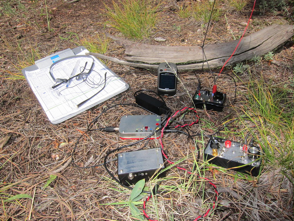
- West Crosier Radio Gear
Go back to the Rainbow Trail 981 the same way you came to West Crosier. Go back up trail 931 to the junction with 981, and head back down to the trailhead. The total distance for doing both peaks is about 10.5 miles, with about 3400 vertical feet of total ascent. With good weather and enough water, activating both summits is no problem. Only a few hundred feet of easy off-trail “bush whacking” are required, thanks to the unmarked routes described here. The visit to Piper Meadows is one of the best parts of the hike, and it would be a shame to miss it!
It’s possible to do this trip more efficiently from Glen Haven via Trail 931, if there is access to the trailhead with parking. This trail was closed after the 2013 flood disaster, but perhaps it has been re-opened. It’s slightly easier and shorter than the Rainbow Trail route.
Here’s the GPS Track PDF Image for both Crosier summits:
Crosier & West Crosier SOTA’s 9-6-2014
73
George Carey Fuller
KX0R
-
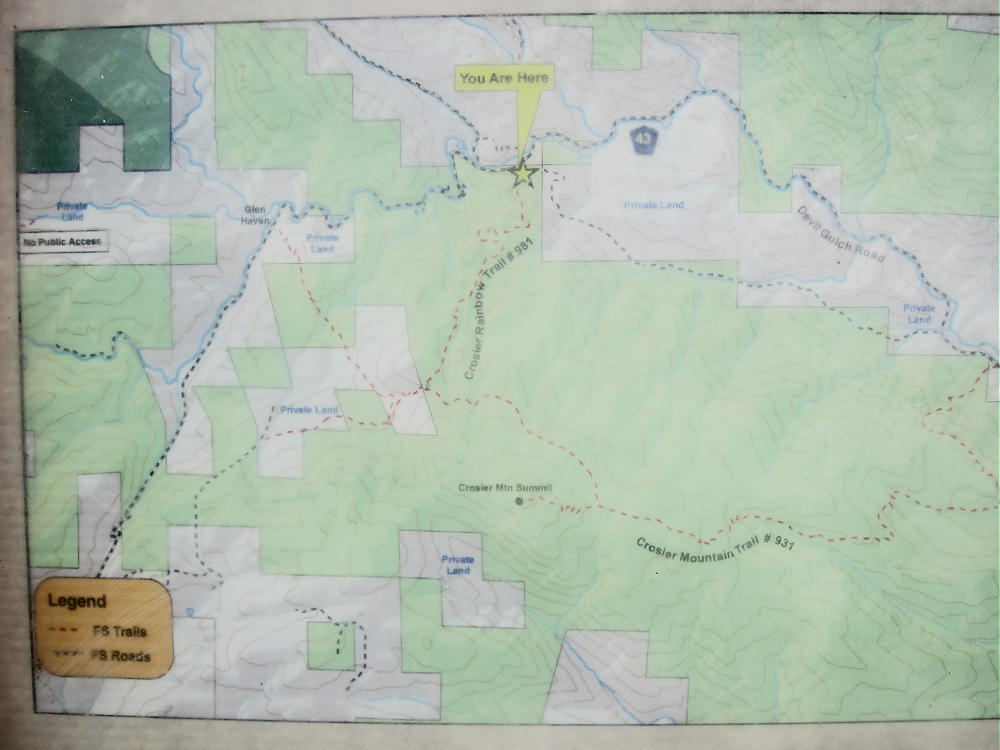
- Trail-head Map Showing Crosier Trails and Private Land
-
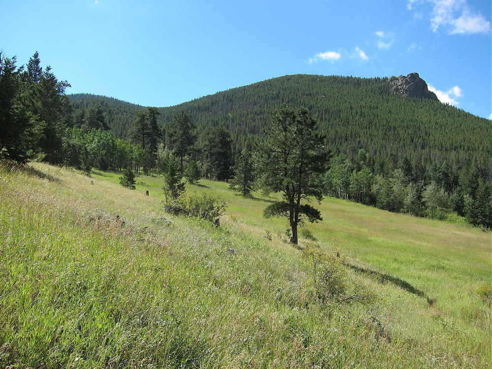
- North Ridge of West Crosier from Piper Meadows
-
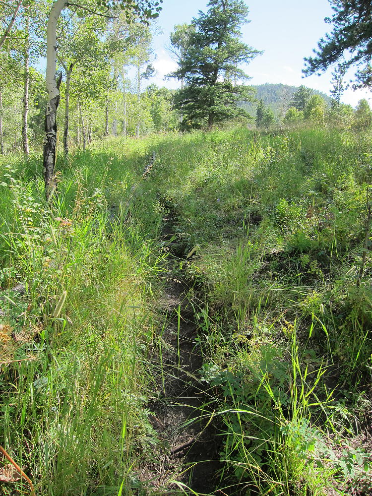
- Rainbow Trail Partway Up
![]() !! WARNING !! There are old mountaineers, and
bold mountaineers... there are no old-bold mountaineers.
Hiking and mountain climbing are potentially hazardous activities particularly in Colorado with its extreme elevations. I am not accepting responsibility for any death or injury resulting from activations based on my trip reports. Proper training, experience, and personal capability assessment is required - enjoy!
!! WARNING !! There are old mountaineers, and
bold mountaineers... there are no old-bold mountaineers.
Hiking and mountain climbing are potentially hazardous activities particularly in Colorado with its extreme elevations. I am not accepting responsibility for any death or injury resulting from activations based on my trip reports. Proper training, experience, and personal capability assessment is required - enjoy!
I agree with Carey… do NOT try to take the west ridge down to the saddle to W Crosier. It tried it without success the first time and was successful on another attempt but it is treacherous and dangerous and nobody will find you back there…