SOTA outings by KØMOS and contributors

Author: N3ALT

  • WØC/SR-153 (Sheep Mountain) – 3380 m / 11089 ft

    Sheep Mountain is an rarely visited mountain in White River National Forest, approximately a half mile bushwhack from the nearest road.

    The first thing worth noting is that both Google Maps and COTREX have the marker for this mountain very much not on top of a mountain. The latitude \ longitude from the SOTA database is the correct one – approximately 1.2 miles South and 1600 feet above the marker.

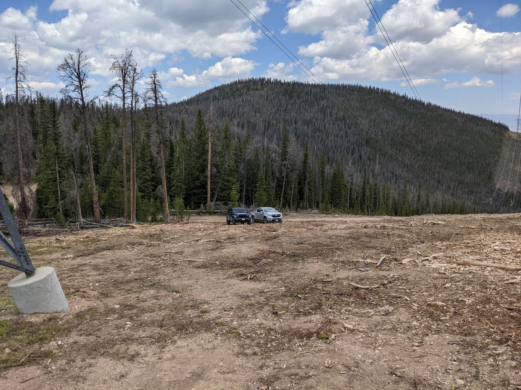
    To get to Sheep Mountain, take I-70 to Silverthorne and head North on CO-9. Once you pass the reservoir, you’ll go by the turn off for Williams Peak Road on your right, and hang a left onto County Highway 10. Take this back a while, until you see a sign indicating Dice Hill to your right, and National Forest land straight ahead. Continue straight past this sign, onto BLM2773. At the border of the National Forest, there will be a bunch of information signs and various admonishments. Veer right on FS23.1, which quickly climbs uphill. Take this back almost 3 miles. I parked at 39.87308N 106.43094W – there was a convenient pull-off on the right with an open field that heads up Sheep Mountain:
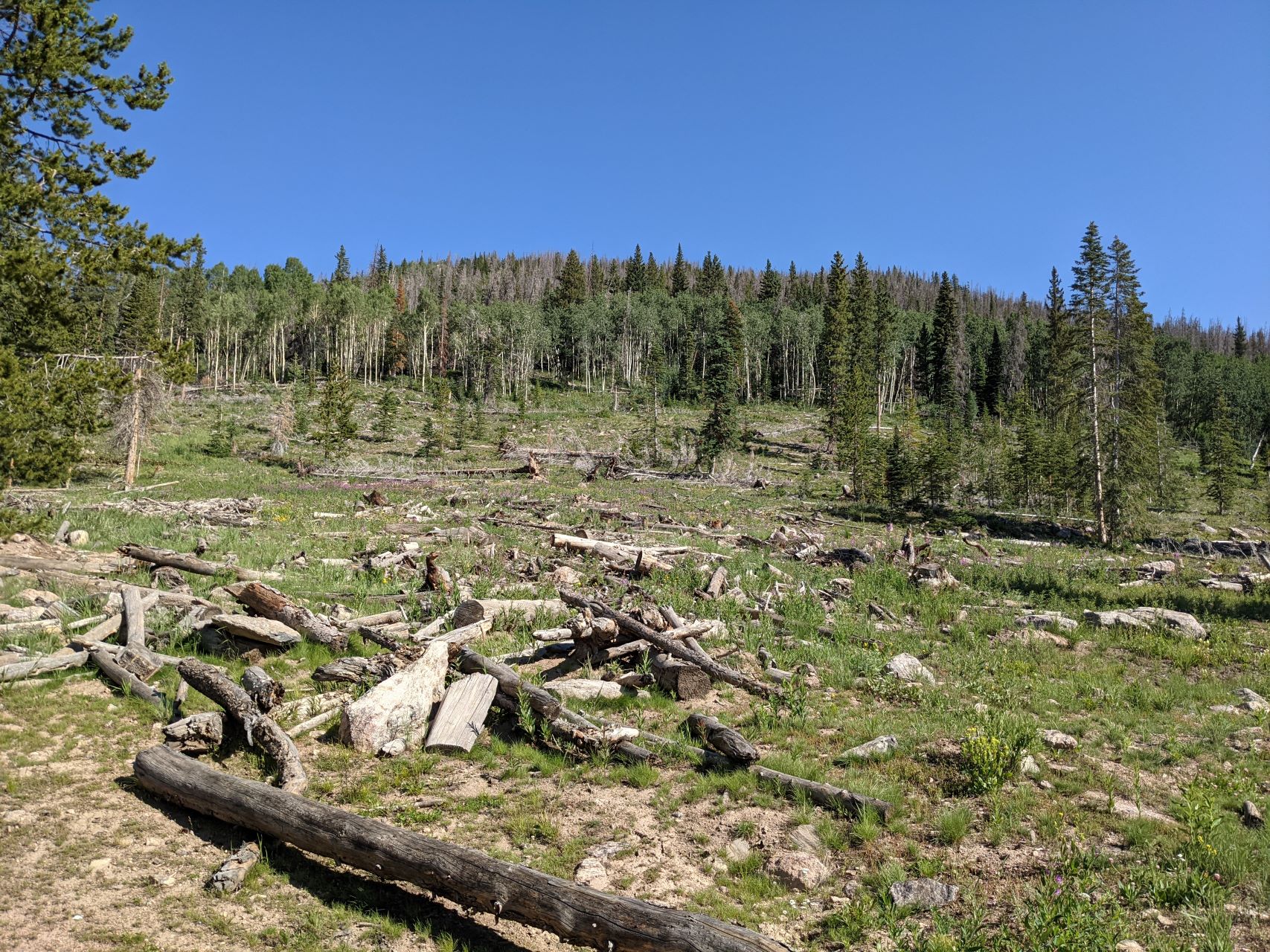
    If you encounter a split in the road with FS1834.1 off to the left and FS202.1 continuing straight, you’ve gone too far.

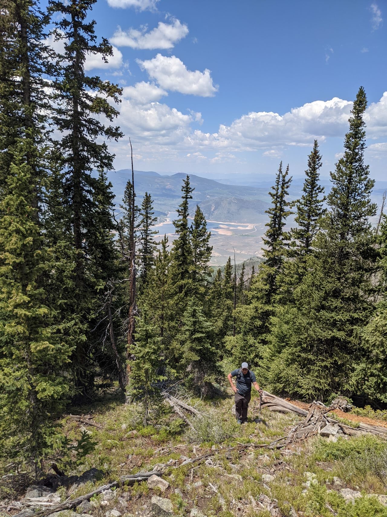
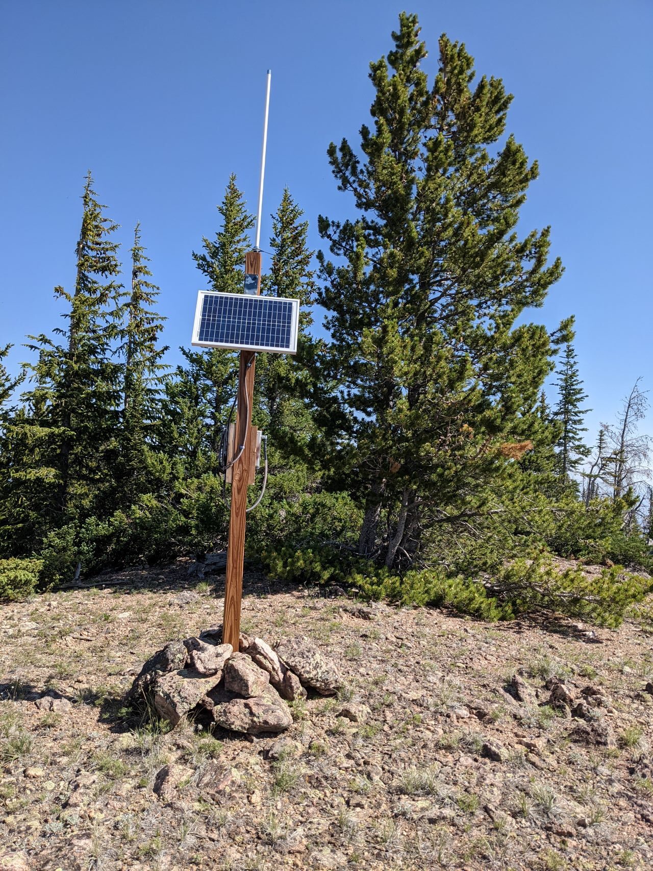
    From here, it’s a pick-your-own-adventure bushwhack up to the top. I crossed the field and aimed for the what looked like a ridge on the left (West). This wasn’t a good choice – there were long rocky segments, tons of downed trees, and and waist-high grass hiding ankle deep mud. Regardless, I made it to the top. Having not seen any cars, or signs of people, since the National Forest boundary, I was somewhat surprised to see some gear with a solar panel and antenna on top of the mountain:
    The summit has some low (5′) trees that I threw a random wire over. There were also a couple logs and rocks that a pole could be guyed to. The weather on top was lovely, and I spent an hour or so working the radio. I tested out a newly-added GPS to my portable FT8 setup, got a couple QSOs that way, then hunted for P2P and S2S. My phone showed plenty of bars, but data service was non-existent.

    As far as VHF goes, I was able to intermittently hear a couple activators on the other side of continental divide on 2m, but didn’t manage to get through to them.
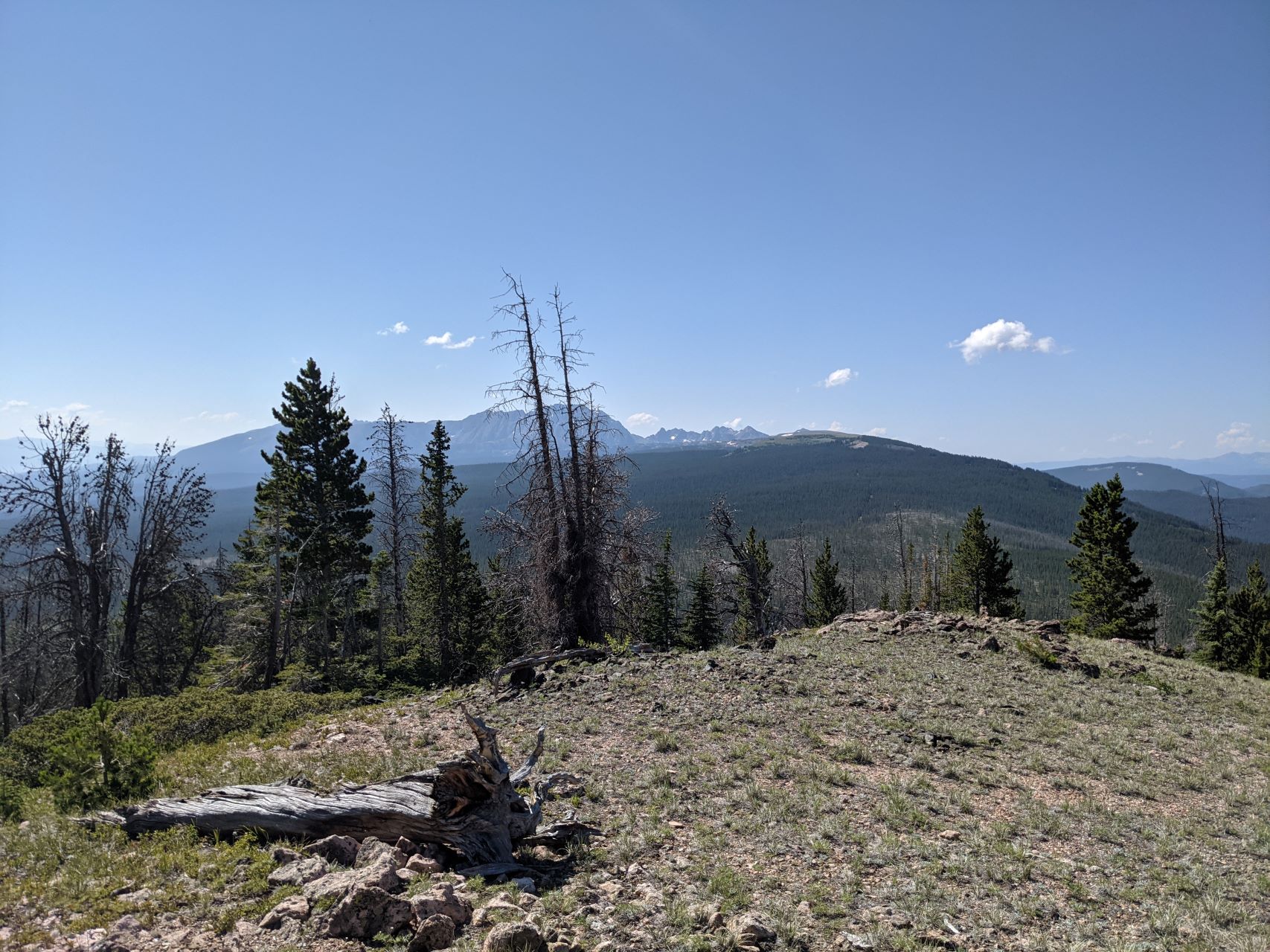
    On the way down, I stayed more to the East, and emerged at the Eastern edge of the clearing that I parked by. This was significantly less rocky and muddy compared to the way up. Back in your car, you can retrace your steps, or continue further along the forest service road towards Cottonwood Peak and Piney Peak. The road quickly gets worse in that direction, and I would strongly recommend only attempting this with a high-clearance 4WD vehicle. I was planning on attempting to activate one of them, but time and weather ended up forcing me to leave them for another day.

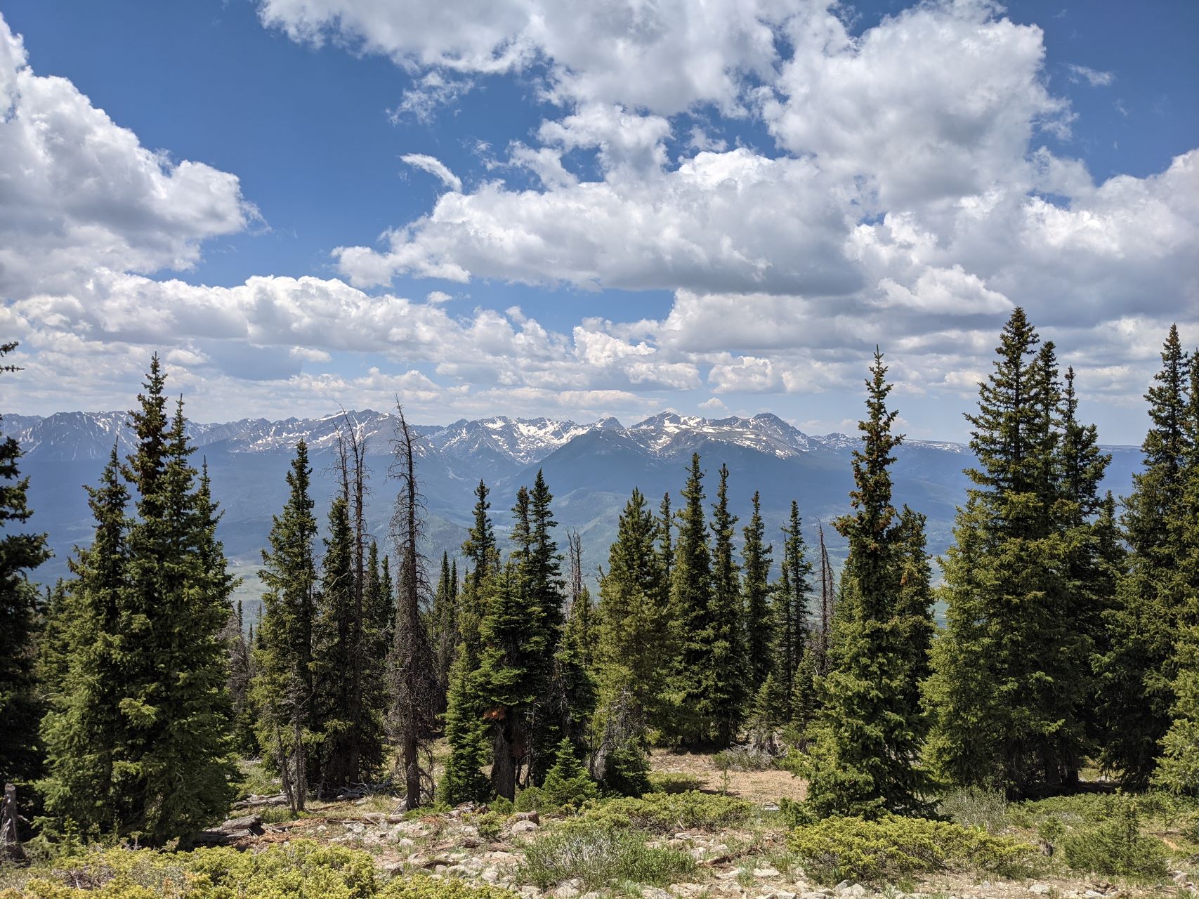
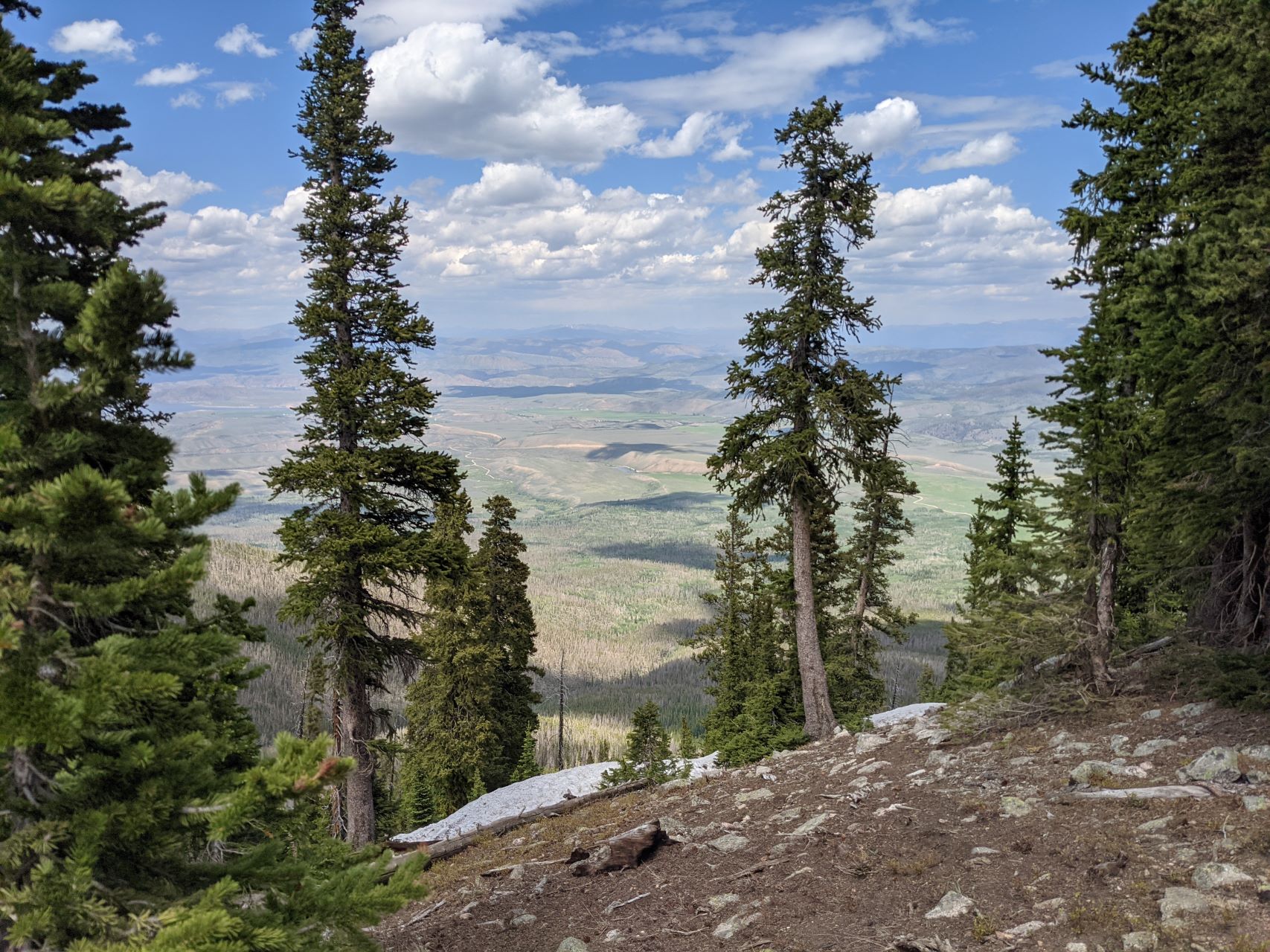
    This was slightly harder to get to than Dice Hill, but significantly more scenic, and could be easily combined with any of the other summits in the area.


    ATTENTION !! WARNING !! There are old mountaineers, and bold mountaineers… there are no old-bold mountaineers. Hiking and mountain climbing are potentially hazardous activities particularly in Colorado with its extreme elevations. I am not accepting responsibility for any death or injury resulting from activations based on my trip reports. Proper training, experience, and personal capability assessment is required – enjoy!
  • WØC/PR-12Ø (Dice Hill) – 3003 m / 9853 ft

    W0C/PR-120
    Dice Hill
    3003 m / 9853 ft
    First Activation: June 20, 2021
    With N0TZW

    By N3ALT

    Dice Hill is an easily accessible summit North of Silverthorne, that you can almost drive up.

    Following our activation of W0C/PR-077 (Williams Peak), Tim (N0TZW) and I headed over to Dice Hill. Taking CO-9 North from Silverthorne, past the reservoir and the turn off for W0C/PR-077, take a left on County Highway 10. This will turn into County Road 23, and then you will take a left on BLM 2750 \ County Road 1830 heading North. This starts as a paved road and turns into a very well maintained dirt road. This eventually dead-ends into a forest service parking lot, where you’ll take a right onto a narrow two track.

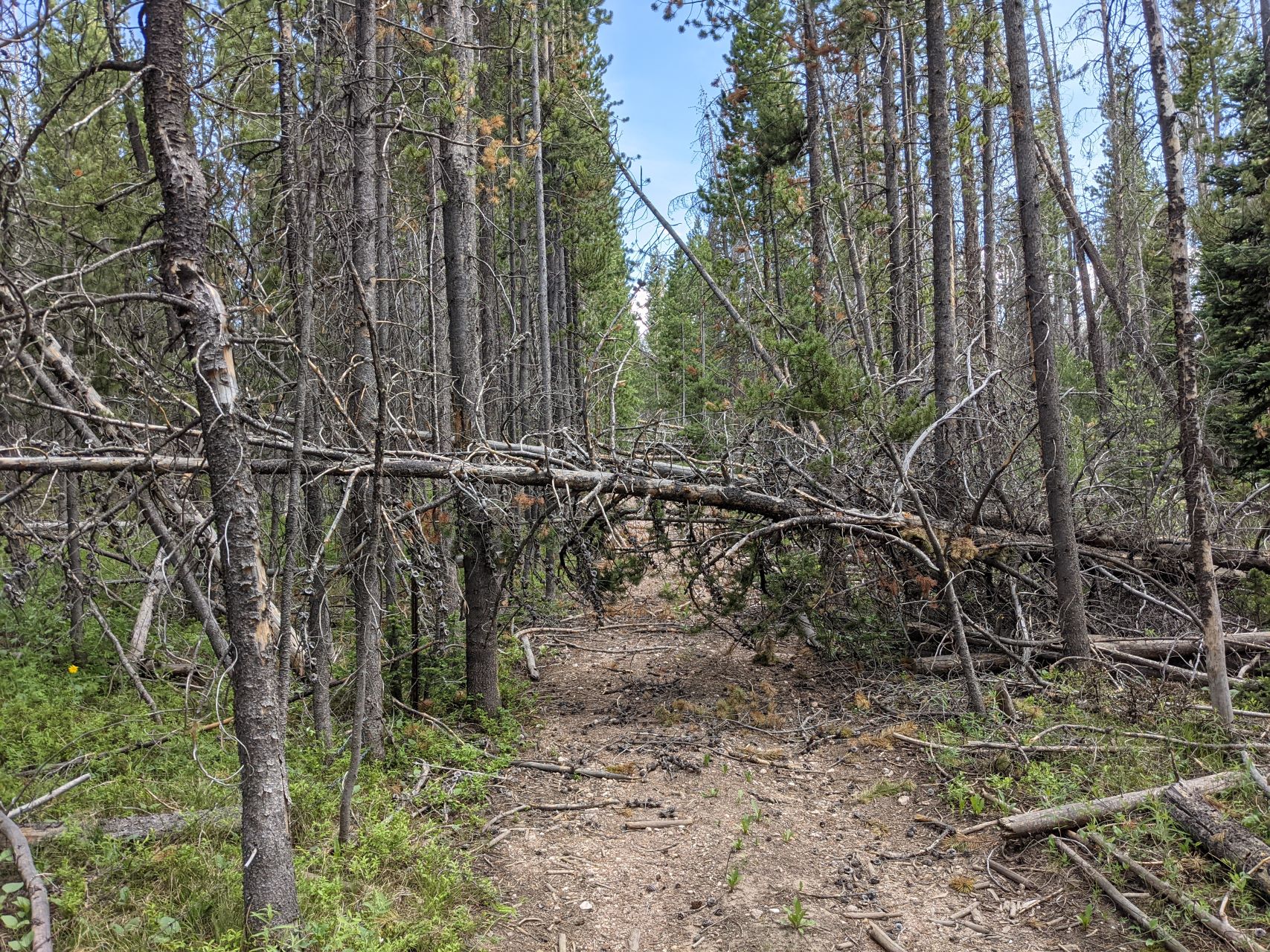
    Assuming they’re dry, all of these roads should be doable in most crossovers if you’re careful. The main requirement is your ability \ willingness to back up on a narrow road with leaves touching both your mirrors. A full-size pick-up truck would be less than ideal for this. This became especially important when we reached the end of the road prematurely:

    According to the map, you can normally drive almost to the top of the mountain. We were blocked by downed trees, and lacking a chainsaw, ended up backing out a ways until we found a reasonable pull off. Leaving the car there, we followed the two-track up the hill, zigging and zagging to avoid the downed trees.

    To the left of the road, there’s a barbed wire fence. Sometimes, the fence is hidden under a pile of fallen logs. If you cross over the fence here without realizing it, you may be further up when you need to cut right and there’s a fence in the way. In general, I would stay to the right (Western) side of the road as you climb up it.

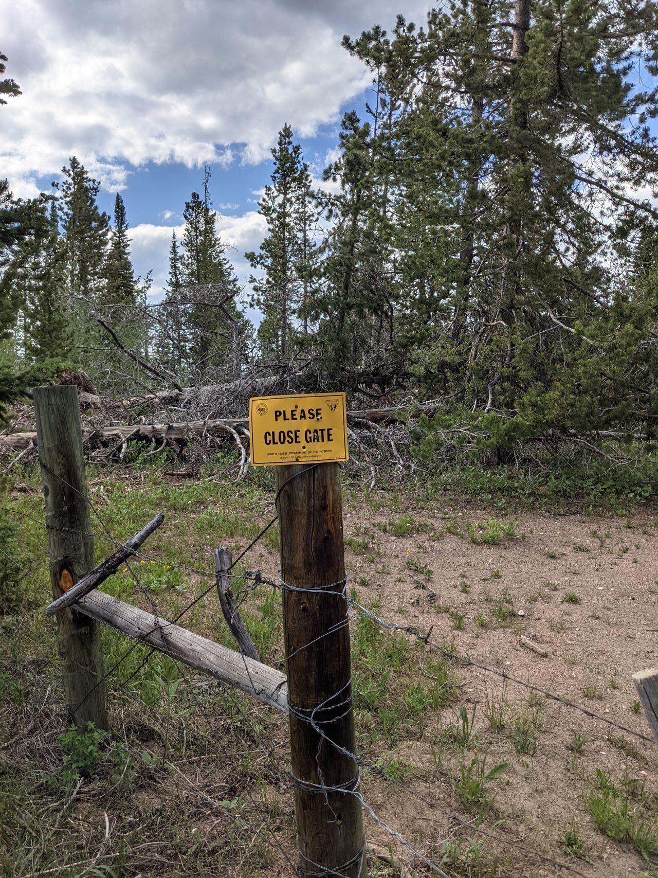
    At the top, you’ll dead end into another fence. We were initially disappointed, only to stick our head over the fence to notice a bunch of signs telling us to close the gate – there’s a wire loop right next to a tree that lets you move a chunk of fence. Make sure you close it behind you. The view coming back down the trail, with the actual “gate mechanism” off to the right of the sign:

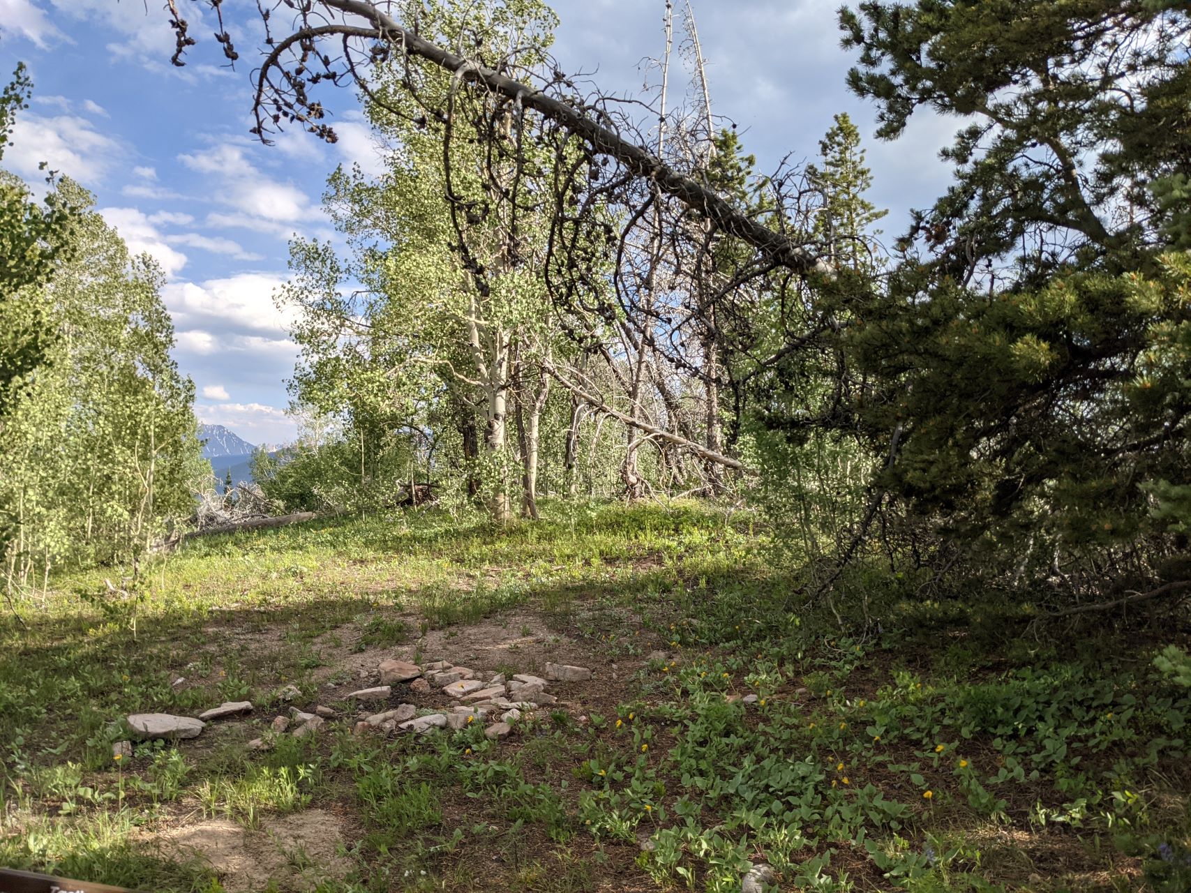
    Follow the now overgrown two-track another couple hundred feet to the top. There’s a big flat open spot, with some smallish trees, and tons of wildflowers. The views are mostly obscured by trees, but it’s a fine HF site. Like Williams Peak, I hadn’t heard any traffic on the 2m/70cm simplex calling frequencies all day, and didn’t bother trying – there are significantly taller mountains between you and where most people live.

    It was fairly late in the day at this point, so Tim & I quickly got our contacts and headed back down. Along the road, we passed several campsites that could make for some nice laid-back car-camping. Besides a first activation and 4 points, the main attraction to this mountain was that it was easy – the road the entire way up is reasonable, the hike is short and not especially steep (roughly a quarter mile and 150 feet vertical from where we found parking), and it’s a nice HF site. I wouldn’t make a return trip just for Dice Hill, but if I was activating anything else in the area would happily tack it on a nice way to close out my day.


    ATTENTION !! WARNING !! There are old mountaineers, and bold mountaineers… there are no old-bold mountaineers. Hiking and mountain climbing are potentially hazardous activities particularly in Colorado with its extreme elevations. I am not accepting responsibility for any death or injury resulting from activations based on my trip reports. Proper training, experience, and personal capability assessment is required – enjoy!
  • WØC/PR-Ø77 (Williams Peak) – 3451m / 11617ft

    W0C/PR-077
    Williams Peak
    3541 m / 11617 ft
    First Activation: June 20, 2021
    With N0TZW

    By N3ALT

    Williams Peak was a fun, rarely visited peak accessible by 4×4 trail on the border of Arapahoe and White River National Forests.

    Take I-70 to Silverthorne, then head North on CO-9 for roughly a half hour.  You’ll pass the Green Mountain Reservoir on your left, then you’ll see FS-200 (technically BLM2780 for the first bit) on your right.  There’s a gate you can open to let yourself into the parking area.

    From there, FS-200 is an “easy” off-road trail, which you should interpret as “there are no technical obstacles”.  The trail is deeply rutted, sometimes steep, and sometimes off-camber.  We saw a number of ATVs, SxSs, along with some Jeeps & pick-up trucks along it.  The road goes 2.2 miles back to the FS service boundary, then 3.75 miles to the first major intersection, with FS-200.1A.  Follow the road to the right of the parking area and continue down FS-200.

    At this point, Tim (N0TZW) and I parted ways.  He planned to drive up 200.1A to the top of W0C/PR-094, while I continued to the top of Williams Peak, and we would activate both with a summit-to-summit.  This didn’t exactly work out, as he got to the top, discovered it was covered by a swarm of black flies, and decided that it wasn’t worth it.  Presumably, the swarm isn’t year round, and is probably a side-effect of all the recent snow melt.  In any case, W0C/PR-094 is still there for the taking.  Tim returned to FS-200, and started following me over to Williams Peak, which we then both activated.

    The drive from there to Williams Peak was significantly easier.  The road was in better condition, significantly flatter along both axes, and the views over the reservoir were fantastic.  You’ll take this around 4.5 miles, at which point you’ll find a large strip cleared of trees underneath some power lines, with Williams Peak dead ahead.

    We parked under the power lines, at which point it was a straightforward, steep half-mile bushwhack up the mountain.  There’s one clear, true summit, with an old USCGS marker on top.  There was little evidence that anyone had been there recently.

    On top, there’s a decently sized activation zone, with a number of low-ish trees with plenty of branches for those of us that are not overly concerned with getting our antenna too high off the ground.  There are also plenty of loose rocks for bracing a pole.

    It was a fantastic HF summit – possibly the lowest noise environment that I’ve seen.  It was sufficiently far out that I didn’t even bother trying VHF – I had the HT on 146.52 the whole time without hearing a peep.

    On the way up, we swung around to the Southwest a bit.  We stayed a bit more North on the way down.  It was very similar difficulty-wise.  Every so often, we got a glimpse through the trees of the power lines, which made navigation back to the cars easy.

    The road continues further, eventually meeting a hiking trail that would also afford access to Williams Peak, at the cost of a 19 mile round-trip hike.  We didn’t explore this section, but instead egressed the way we came, and headed onwards to another first activation – Dice Hill (W0C/PR-120).


    ATTENTION !! WARNING !! There are old mountaineers, and bold mountaineers… there are no old-bold mountaineers. Hiking and mountain climbing are potentially hazardous activities particularly in Colorado with its extreme elevations. I am not accepting responsibility for any death or injury resulting from activations based on my trip reports. Proper training, experience, and personal capability assessment is required – enjoy!