


W0C/SP-090 (Crooked Top Mountain) – 3183 M / 10465 ft
Oct 24, 2013 – First Activation
by KX0R
Crooked Top is well-hidden, but it’s a fine SOTA peak. It takes some effort to find it and climb it, so it gets few visitors. When climbed and activated along with its sister summit 10140, W0C/SP-098, Crooked Top provides a rewarding outing.
The route to Crooked Top begins with a drive west from Denver on Highway 285. Crooked Top is located about 4 miles NW of Bailey, but the best road approach is via Road 43, the Deer Creek Road. The marked turn to Road 43 is about one mile east of Crow Hill. From 285, turn right (north) on 43A, continue north about 0.4 mile to 43, and then drive northwest on 43 about 6 miles. Find Saddlestring Road, turn left, cross over Deer Creek, and follow Saddlestring past several other roads to a large parking area and a marked 4WD road (997/P-63) leading uphill – south – into the Pike National Forest. The entire route is shown accurately on Google Maps. Follow 997/P-63 about two miles, first west and then south, until it becomes Forest Road 101, at a junction with FSR-105. Continue southeast on 101, approximately along the 9400 foot contour line, for more than a mile.
Road 101 has two junctions with FSR-105, a 4WD loop road leading over the ridge to the SW. There is a large gate at the second (SE) junction. When I went up there in late October, that gate was closed across 101 – if the gate is open, you may be able to drive all the way to the Pass at about 9550 feet, between Crooked Top and 10140. If the gate’s closed, just park there and walk up the gentle road to the Pass.
A couple of key points:
1. The route from Saddlestring Road to the pass at 9550 is called a 4WD road on signs, but it’s not a true 4WD road – 2WD vehicles with medium to high clearance can handle this road, as long as conditions are OK and the driver is careful. There are plenty of rocks and other problems, and it’s over 4 miles of bumps, but there are no really steep spots, big humps, mud-holes, or large rocks. It appears that dispersed camping and fires are permitted along the road.
2. There is no open road from the 9550 Pass to the southeast. You cannot drive NW from Crow Hill (285) and reach the 9550 Pass from the south. There may have been such a road (101) up Crow Creek in the past – it is shown on some maps – but it is no longer an option. Google Maps is correct – 101 continues down SE from the Pass for about 1.5 miles, but it either dead-ends or is blocked. There also was a locked gate at the pass the day I was there, and there is a fence across the Pass. Despite the barriers, much of the land immediately south of the Pass, including Crooked Top Mountain, is in Pike National Forest.
Crooked Top Mountain towers about 900 feet above the 9550 Pass; from the Pass, head up east along the fence until you come to the remains of an old road. Follow this road up SE a short distance until it ends, and then climb directly east, up the moderately steep west slope of Crooked Top, all the way to the ridge just NW of the summit. Once on the ridge, follow the ridge SE up to the summit. There are several rocky knolls on top – the actual summit is toward the SE. There are great views there, as well as nice spots to set up and activate. With some shelter from wind, ample space, and trees suitable for antenna supports, the summit is friendlier than many. This wild peak sees few visitors – but it’s a classic SOTA peak.
The descent is the reverse of the climb. Strong knees are required to descend – it’s 900 vertical feet down to the Pass, and 700 of those feet are directly down the slope. The west side of Crooked Top is relatively open, with little talus, no cliffs, and few fallen trees – but avoid the steep south slopes below the summit.
After returning down to the Pass, you can decide whether to activate 10140. See the trip report for that peak – the route is simpler and easier than Crooked Top, so doing them both for 8 points is a great idea if weather and time allow. These two peaks make for a classic dual SOTA activation!
George Carey Fuller
KX0R
-
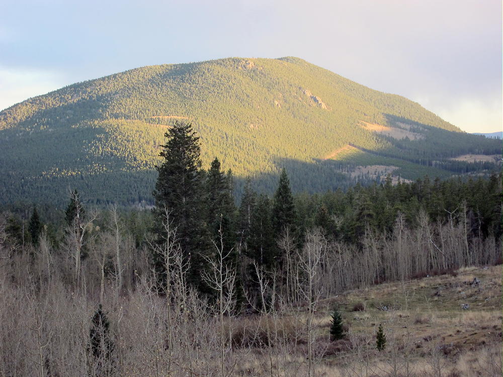
- Sunset on Crooked Top
-
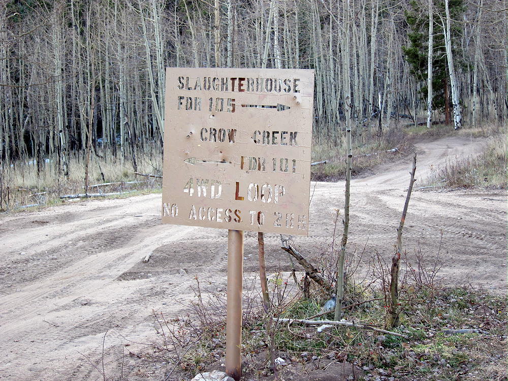
- Junction with FSR-105 and FSR-101
-
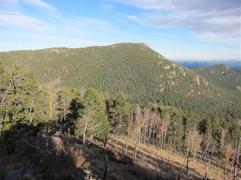
- Crooked Top Viewed from 10140
-
- Activation Antenna 66 ft EFFW on Crooked Top
-
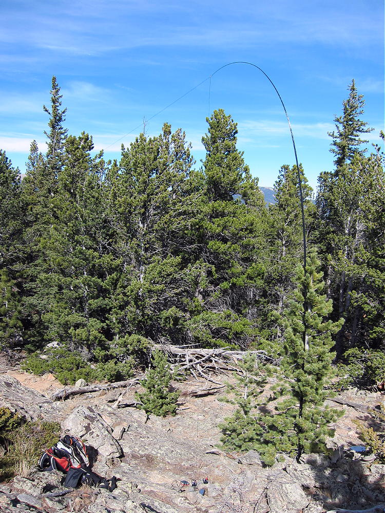
- KX0R First Activation Site on Crooked Top
-
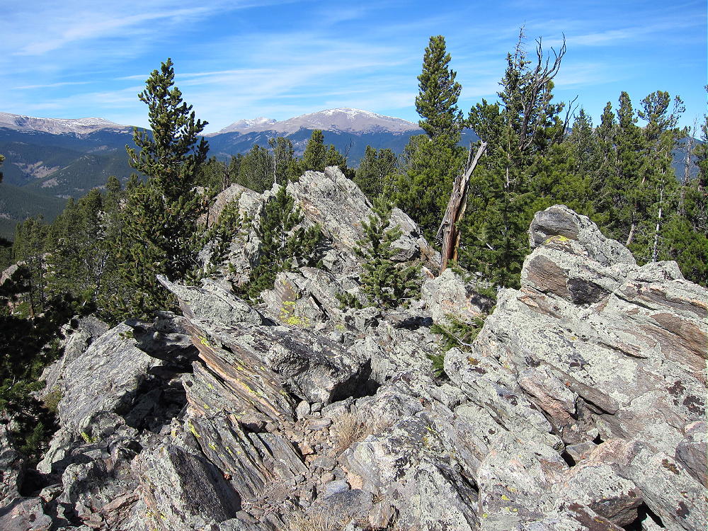
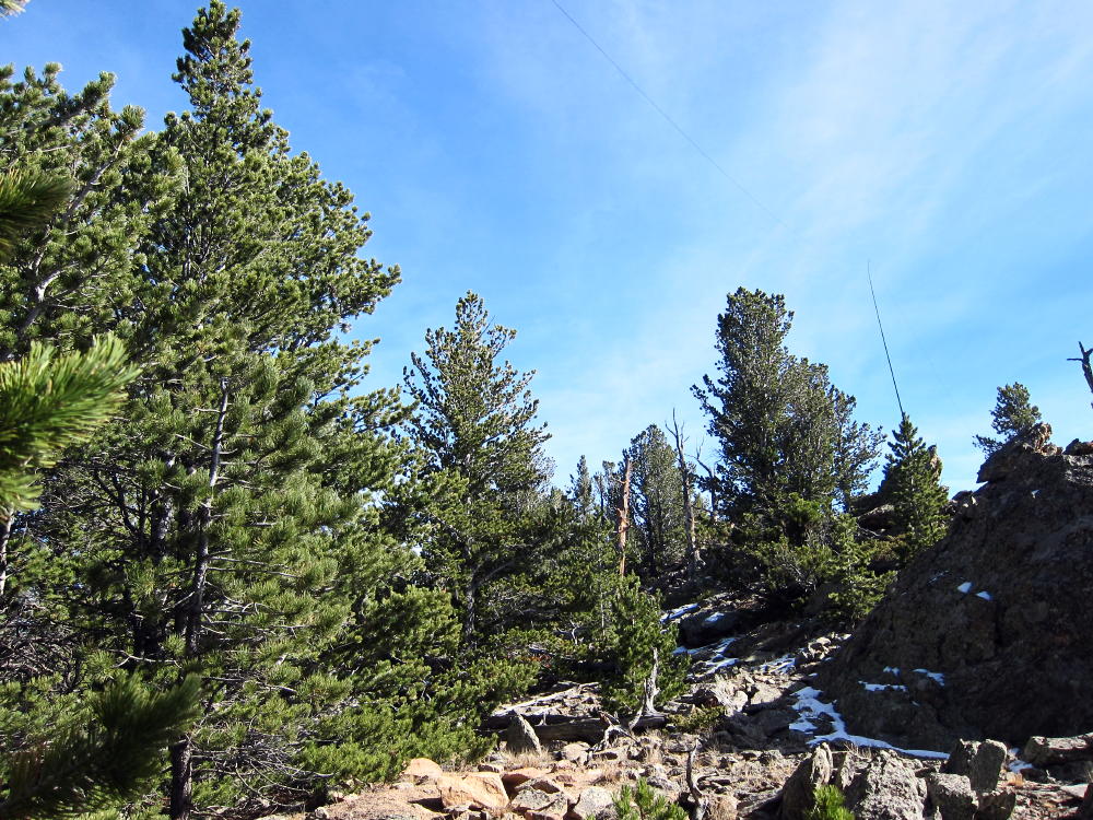
- Summit Rocks on Crooked Top
-
- Sunset on Crooked Top and 10140
![]() !! WARNING !! There are old mountaineers, and
bold mountaineers... there are no old-bold mountaineers.
Hiking and mountain climbing are potentially hazardous activities particularly in Colorado with its extreme elevations. I am not accepting responsibility for any death or injury resulting from activations based on my trip reports. Proper training, experience, and personal capability assessment is required - enjoy!
!! WARNING !! There are old mountaineers, and
bold mountaineers... there are no old-bold mountaineers.
Hiking and mountain climbing are potentially hazardous activities particularly in Colorado with its extreme elevations. I am not accepting responsibility for any death or injury resulting from activations based on my trip reports. Proper training, experience, and personal capability assessment is required - enjoy!