


W0C/SR-040
Vasquez Peak
3938 m / 12947 ft
First Activation Aug 9, 2014
By KX0R
My first activation of Vasquez Peak was a high country adventure. The surrounding Vasquez Peak Wilderness is named for this high, prominent summit. While there is no marked trail to the mountain, the climb is not difficult.
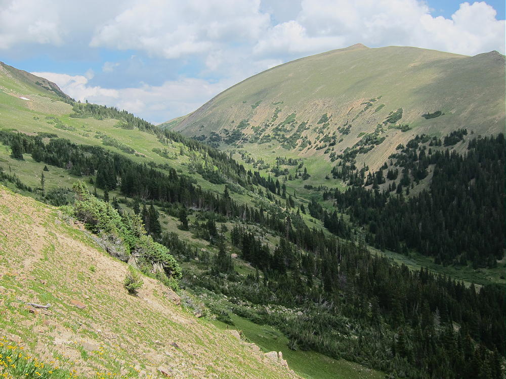
Start by driving up I-70 west of Denver. Take the exit toward Berthoud Pass, and follow Route 40 about 6-1/2 miles up past Empire. Right before the big switchback curve below the Pass, there is a sign for the Henderson Mine – turn left on Road 202, which heads up toward Jones Pass. Drive about 1.7 miles west on 202, pass the huge Henderson Mine facility on your left, and take the right fork where the road splits off towards Jones Pass. After about half a mile, look for a trail sign marking the Continental Divide Trail (CDT) access on the right of the dirt road. Park nearby and head up the trail.
This well-built trail starts at about 10,400 feet elevation and climbs up the forested slope with several switchbacks. At about 11,300 feet the trail comes to a junction with the CDT, near where a creek comes down. Head east (right) on the CDT, cross the creek, and continue east about 500 feet or more. Head north up the obvious ridge that rises northeast of the creek. There are hints of a trail up this ridge. At about 12,000 feet, head off the ridge and traverse northwest up grassy tundra toward the 12,440 foot saddle between points near 12,880 and 12,680 feet.
-
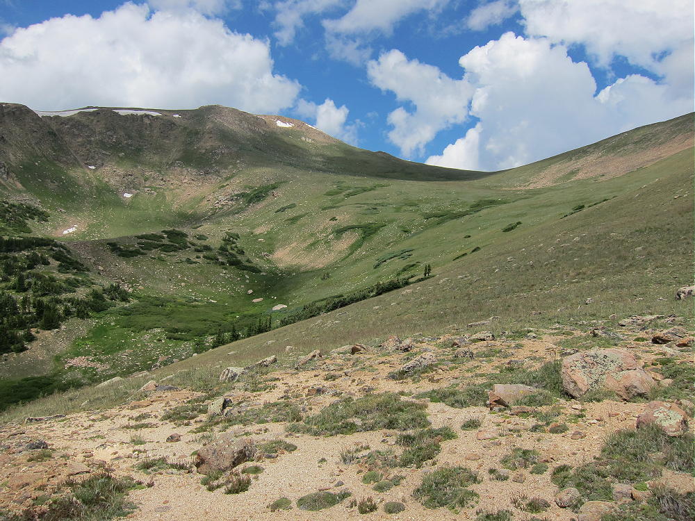
- Route up to Saddle East of 12880
-
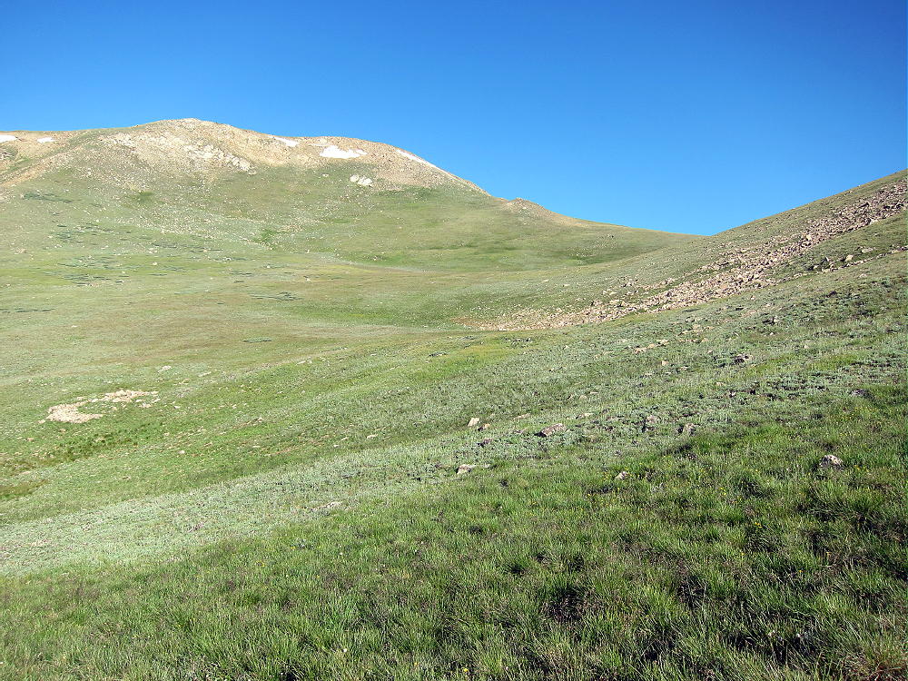
- Meadows Leading up to Saddle East of 12880
This is a beautiful alpine meadow high in the Wilderness. Hike up to the saddle, and you’re on the Continental Divide.
-
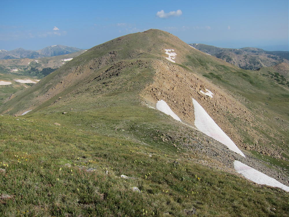
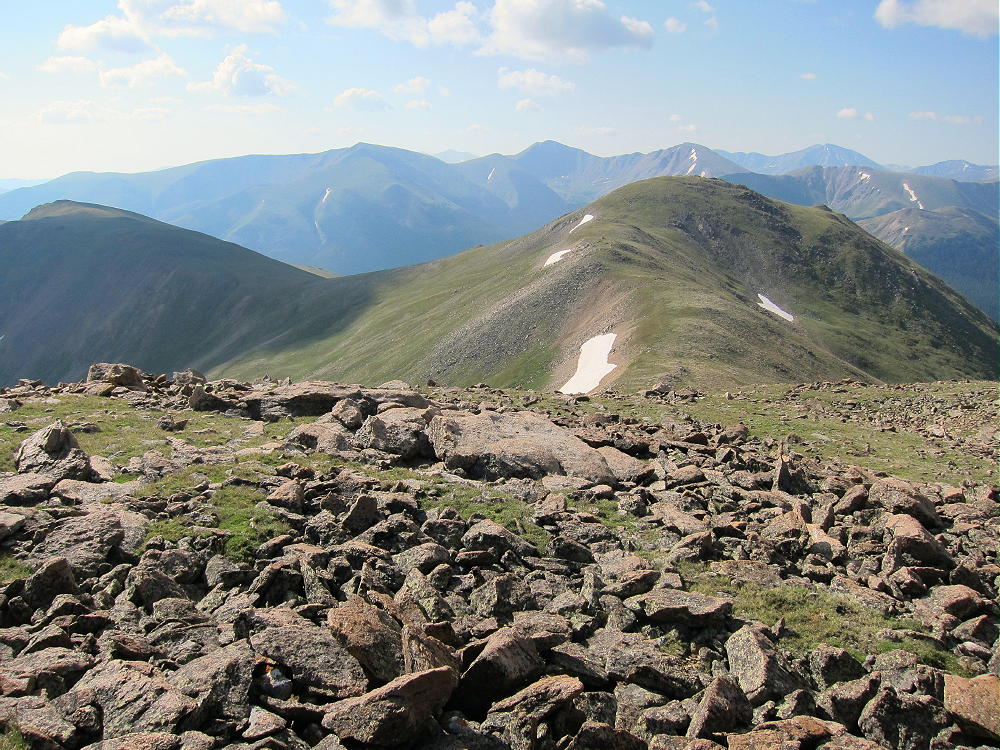
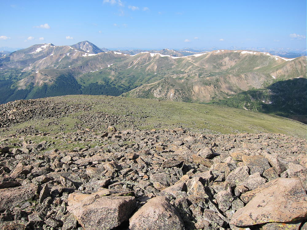
- Vasquez and Ridge from Point 12880
-
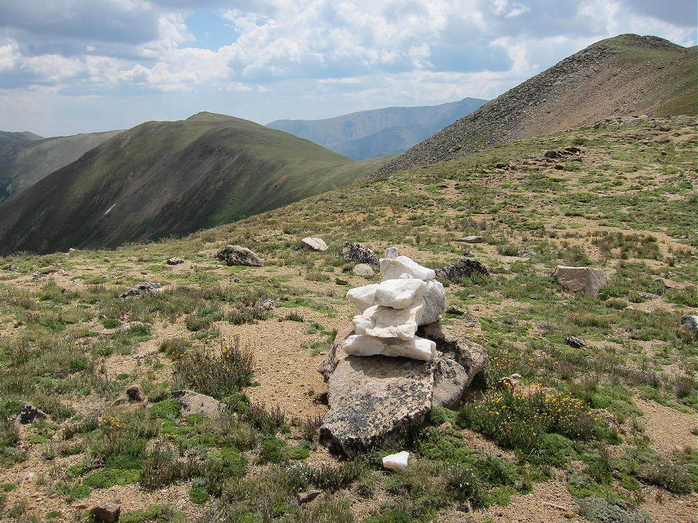
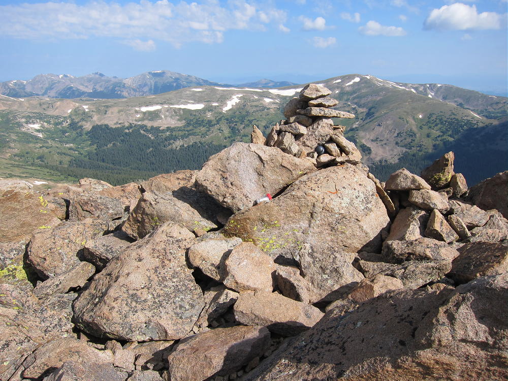
- Quartz Cairn on Divide near Vasquez
Climb up the moderate ridge west of the saddle, traverse north around point 12,880, and follow the easy Divide ridge from point 12,880 north about 3000 feet and up to Vasquez Peak. This is a classic alpine hike with stunning views of the Wilderness. This route was easy in August, but earlier in the summer, there might be steep snowfields – point 12,880 might be a problem.
Vasquez Peak’s summit is rocky, but it’s easy to climb.
-
- Vasquez View South to 12880
-
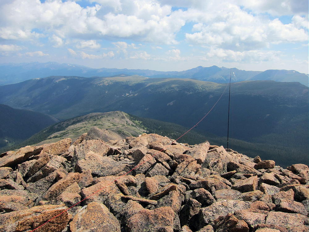
- Vasquez Summit
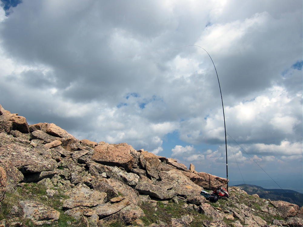
There is limited shelter from wind among the rocks within the activation zone. Be sure to bring a pole in order to erect a wire HF antenna. It’s a perfect HF location, but it has limited VHF/UHF coverage to the east.
-
- Vasquez First Activation Just East of Summit
-
- Vasquez Activation Antenna
Needless to say, this is a place to avoid in bad weather – it’s the highest summit for miles in every direction! Start early and don’t mess with Vasquez unless the weather forecast is OK.
The day I went up there, I saw no one else near the summit or on the high ridges. I did meet people on the CDT, and while I was on the air, I saw more than 50 elk in a secluded valley northeast of the summit.
It looks like Vasquez also can be climbed by following the west fork of the CDT all the way around the west side of 12,880, and then climbing about 800 vertical feet directly up to the ridge between 12,880 and Vasquez. I have not tried this route, but it might be a convenient descent route if weather threatens on the high Divide.
Vasquez is a SOTA Classic!
George Carey Fuller
KX0R
-
- Vasquez View West to Jones Pass
-
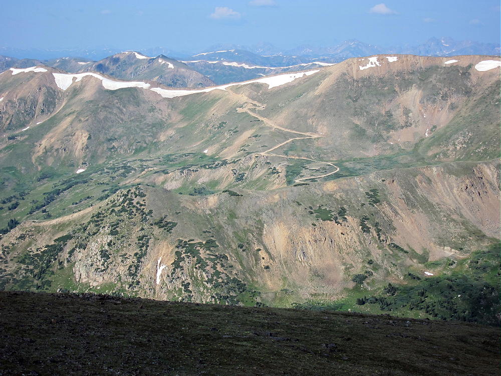
- Jones Pass 4WD Road from Vasquez Peak
-
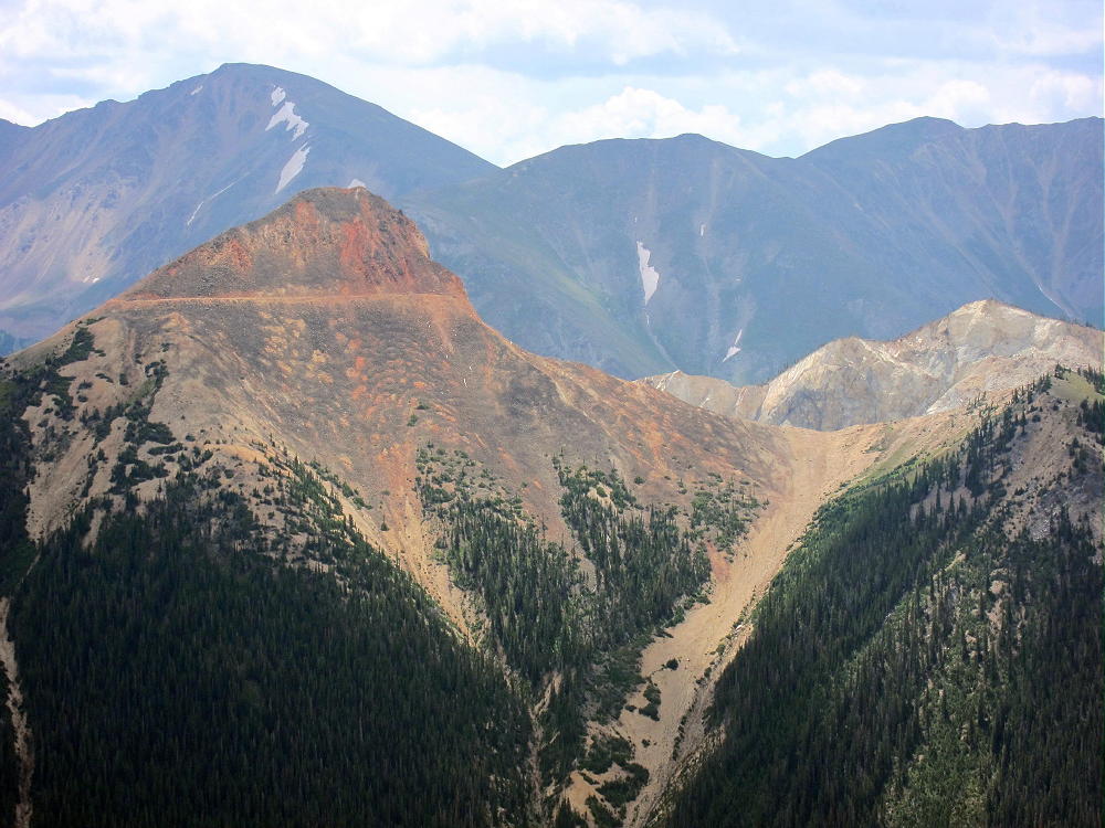
- Stanley Mountain Southwest Side
-
- Henderson Mine Glory Hole
-
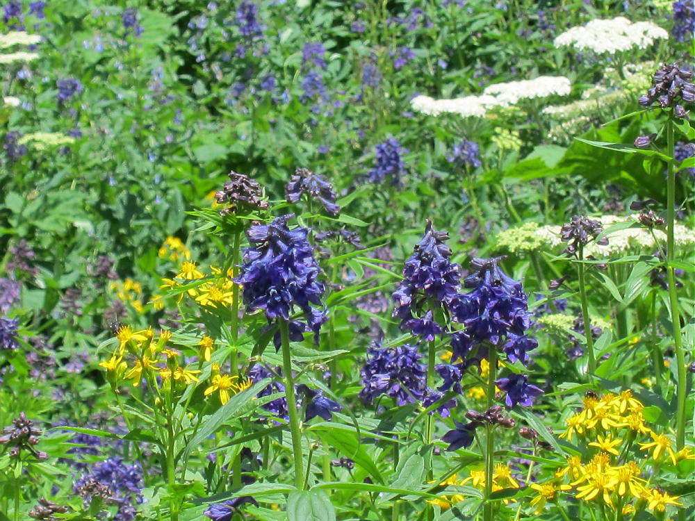
- Larkspur Flowers along CDT
-
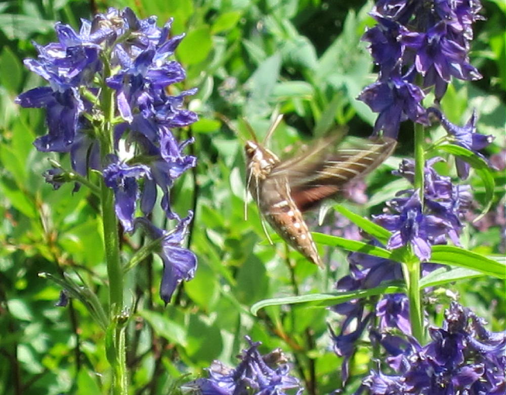
- Hummingbird Moth and Larkspur near CDT
![]() !! WARNING !! There are old mountaineers, and
bold mountaineers... there are no old-bold mountaineers.
Hiking and mountain climbing are potentially hazardous activities particularly in Colorado with its extreme elevations. I am not accepting responsibility for any death or injury resulting from activations based on my trip reports. Proper training, experience, and personal capability assessment is required - enjoy!
!! WARNING !! There are old mountaineers, and
bold mountaineers... there are no old-bold mountaineers.
Hiking and mountain climbing are potentially hazardous activities particularly in Colorado with its extreme elevations. I am not accepting responsibility for any death or injury resulting from activations based on my trip reports. Proper training, experience, and personal capability assessment is required - enjoy!
Thanks for the great trip report, George! I will find this useful when it is my turn to go up there…..
Pete
KD2OMV