


W0C/FR-044
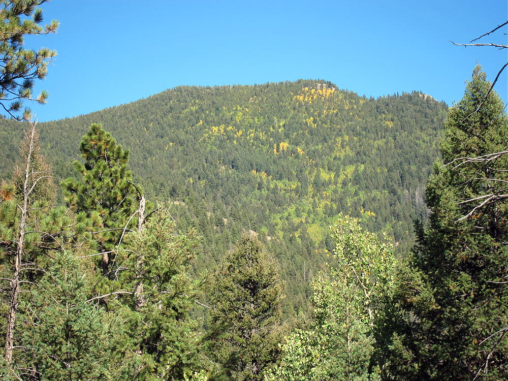
Green Mountain 3170 m / 10421 ft
First Activation
Sep 20, 2014
by KX0R
There are many Green Mountains in Colorado, but W0C/FR-044 is one of the best for SOTA. What it lacks in points, it makes up for in prominence and satisfaction for the successful activator. Best of all, it has reasonable access from the Denver Metro area, and it makes a nice day trip. This is a true SOTA “Classic”!
Green Mountain West Side
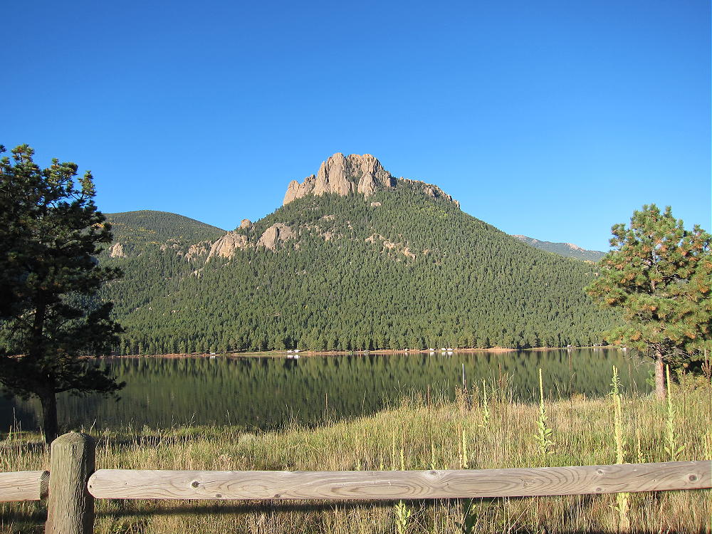
Start by driving up Highway 285 to Bailey, and at the bottom of Crow Hill, turn left where the road curves to the right as it enters the town. Pass the Liquor, Tobacco, and Firearms store and take Road 68 southeast. This road is paved a short distance, but after it enters the Pike National Forest, it becomes dirt. Follow 68 for several miles, up and over some large, steep hills, and through the scenic forest. Follow the signs to Wellington Lake. Road 68 forks into Road 105, which leads through some ranches to the Lake. Wellington Lake is a private resort, but it’s OK to drive past the lake on the bumpy road, in order to reach the Stoney Pass Road at the SE corner of the Lake. If you pay a fee you can camp or fish at the Lake – it is spectacular. Huge rock formations called The Castle tower above the Lake. The Castle is W0C/FR-161, and it has not been activated at this writing.
Wellington Lake and The Castle
Follow Road 105 along the shore to the T-intersection with Forest Road 543. Go straight on Forest Road 560, and continue to the far SE corner of the Lake. First ford a small creek – this pool is several inches deep, and OK to cross in a car in summer or fall, but it might be more serious during the spring runoff- or after a heavy rain. After the ford, Road 560 passes through posted private land for a short distance, and then it enters the Pike National Forest again. The road climbs steeply up to Stoney Pass, which is not as bad as it sounds. In cold weather, this north-side road may be gated or impassable due to snow and ice. Access might or might not be available from the south side of the Pass. At Stoney Pass there is parking and dispersed camping in the aspen trees. This area was minimally burned in the recent fires, so it is special – the huge burn area begins a couple of miles south of Stoney Pass.
From the pass, hike along a closed forest road that leads roughly east up to a plateau area with open pine woods. Follow the main fork of the road until it begins to descend SE, down toward a meadow area in a valley. From the apparent high point of the road, head slightly left, and follow an easy game trail east along the obvious gentle ridge, keeping Green Mountain in mind and in view, and gradually climb up a draw northeast, through open aspen forests toward the distinct south ridge of Green Mountain.
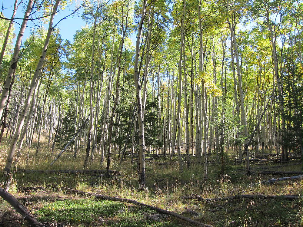
Green Mountain Hike through Aspens
I headed up the draw southwest of Green Mountain’s South Ridge, and then I went up steep slopes to the craggy ridge. Pick your way up the South Ridge through prickly bushes and over rocks and fallen trees, following game trails, and go either left or right of any problematic cliffs or large blocks – there are several.
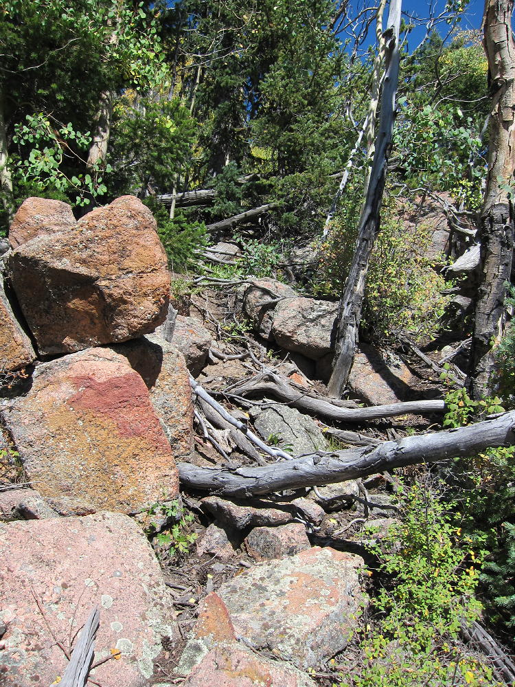
Green Mountain Ridge Route – Typical
There is no serious climbing required, just use good judgment and look for alternatives; go back down a little, and try another route if you come up against anything worse than a bit of Class 3. The part from 10000 to 10,200 feet is the crux. Much of this route is fun, and it leads very efficiently up to the summit. It all gets better near the top. It’s all south-facing, so it looks like it would be hot in summer – be sure to carry enough water. It’s about 2000 vertical feet and about 3 miles from Stoney Pass to the top of Green Mountain.
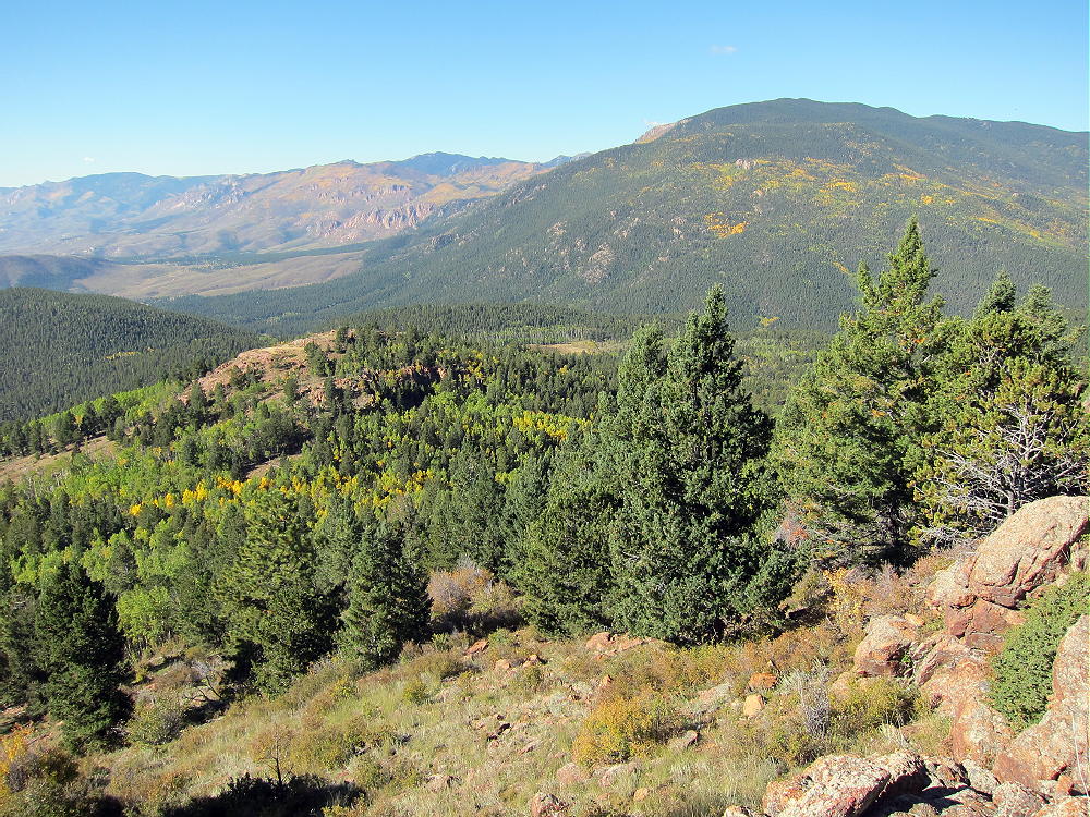
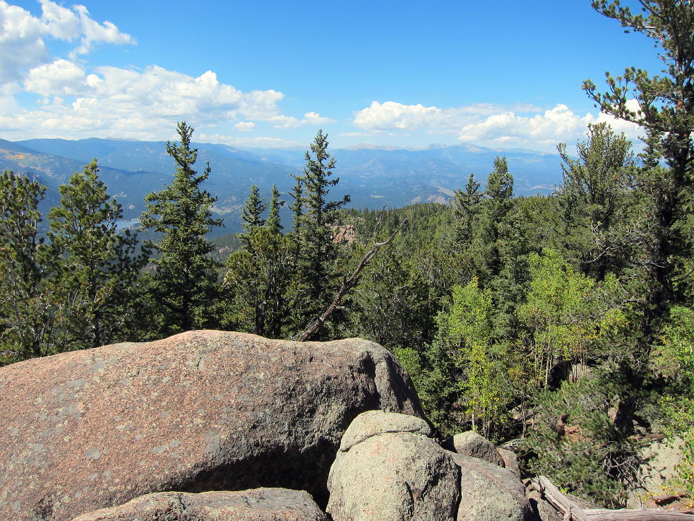
Green Mountain and Buffalo Peak
After a small sub-peak you come to the summit. This area is forested and has limited views – but after the wide-open South Ridge, you may be happy to trade for the security and peace that exists up there. Few people climb this mountain, despite the fact that it dominates the landscape and looks really high from below.
-
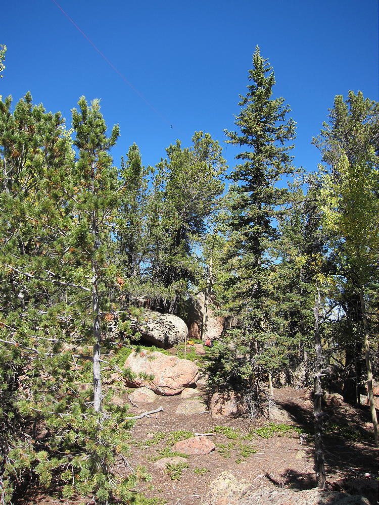
- Green Mountain Activation with Antenna in Tree
-
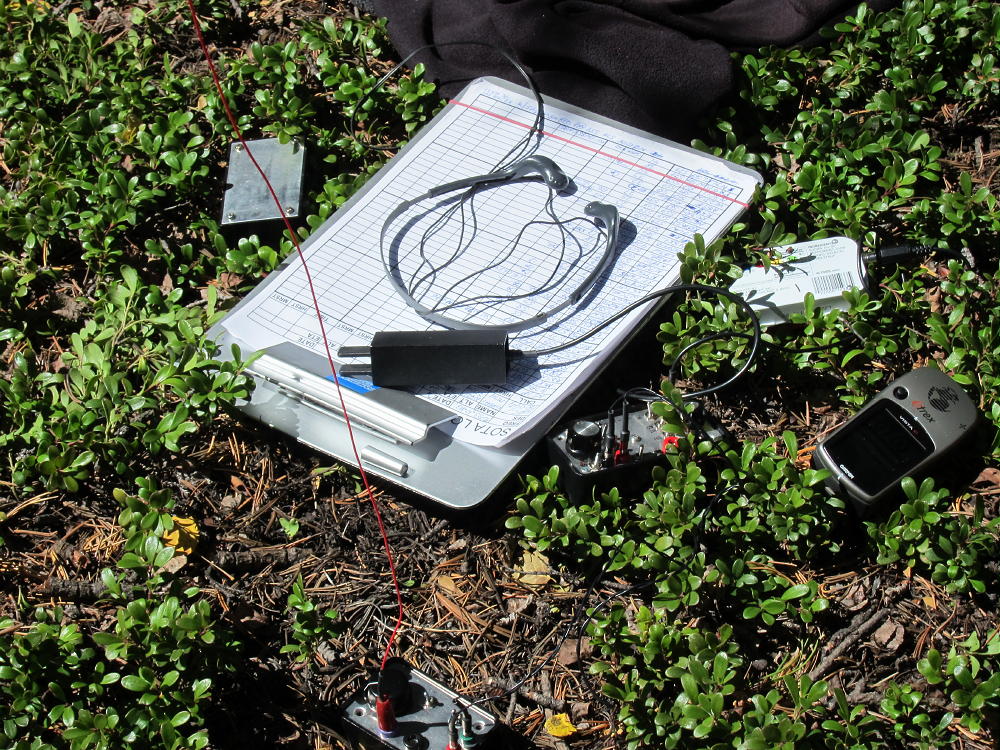
- Green Mountain Activation Gear
The activation zone is large and convenient, with plenty of trees and rocks, and some shelter from wind. It looks like this summit would work for UHF/VHF as well as HF skip, since the view includes most of the South Platte Drainage, as well as the eastern Plains and some of the South Denver area. Green Mountain looks dangerous if lightning is a possibility – especially the South Ridge! Plan your trip for a good weather day to make sure that you make the best of this wonderful summit.
-
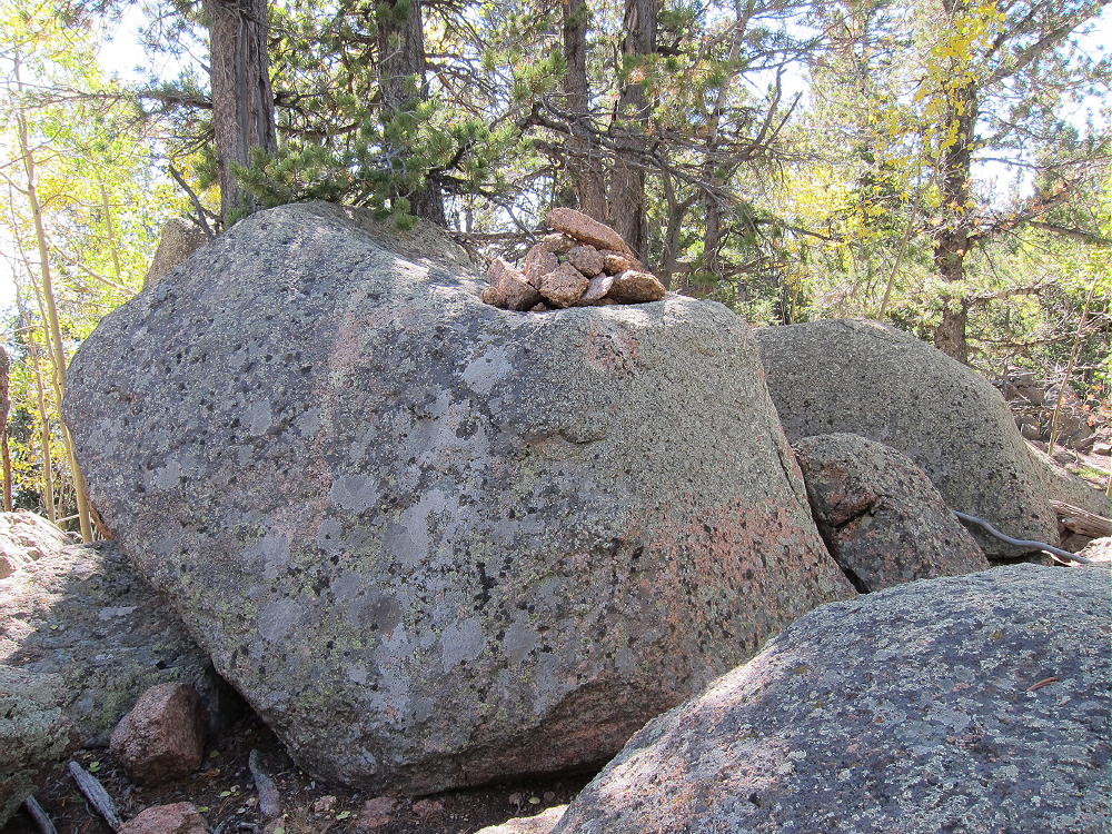
- Green Mountain Summit
-
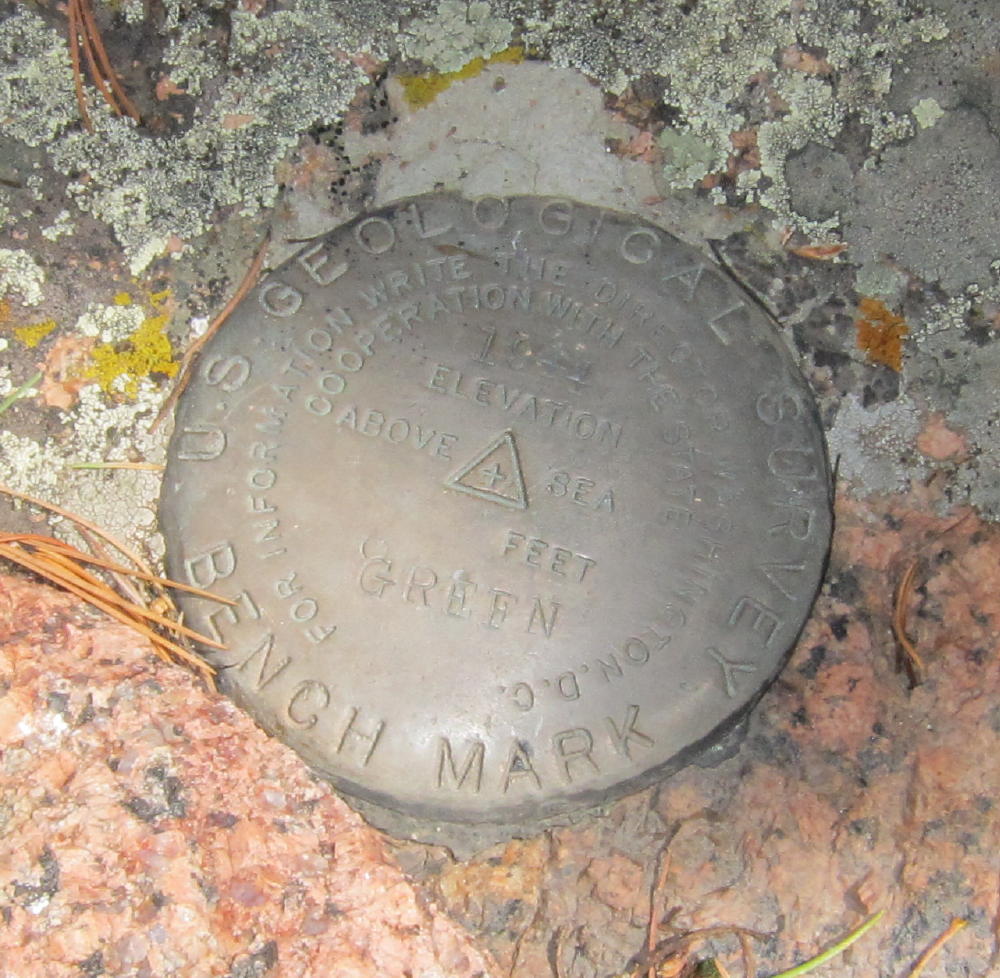
- Green Mountain USGS Benchmark
When descending, try not to be too creative – there surely are many other workable routes than the South Ridge, but it would be easy to get off course in bad weather or after sunset. GPS is very useful for accurate backtracking.
Beware of hunters in the fall – there are deer and elk up here. I met some courteous bow hunters the day I climbed on September 20.
73
George Carey Fuller
KX0R
Green Mountain View Northwest
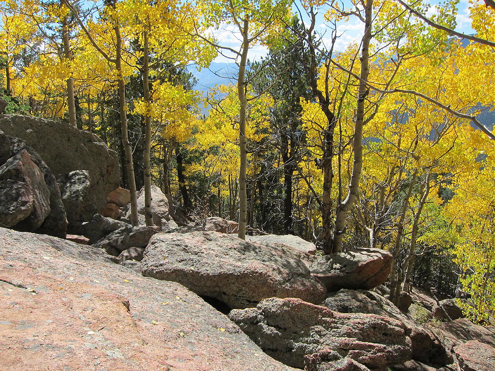
Green Mountain Aspens
![]() !! WARNING !! There are old mountaineers, and
bold mountaineers... there are no old-bold mountaineers.
Hiking and mountain climbing are potentially hazardous activities particularly in Colorado with its extreme elevations. I am not accepting responsibility for any death or injury resulting from activations based on my trip reports. Proper training, experience, and personal capability assessment is required - enjoy!
!! WARNING !! There are old mountaineers, and
bold mountaineers... there are no old-bold mountaineers.
Hiking and mountain climbing are potentially hazardous activities particularly in Colorado with its extreme elevations. I am not accepting responsibility for any death or injury resulting from activations based on my trip reports. Proper training, experience, and personal capability assessment is required - enjoy!