


W0C/FR-017
Mount Logan
3915 m / 12870 ft
Sep 7, 2014
by KX0R
Mount Logan is a relatively high, wild mountain in the southern part of the scenic Mount Evans Wilderness.
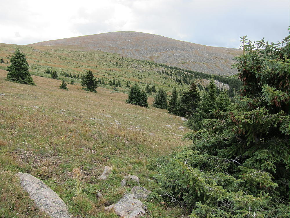
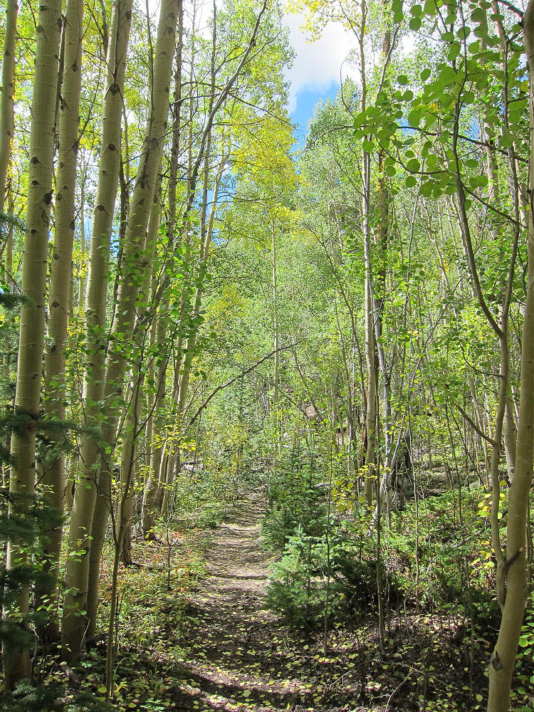
Mount Logan Route from Treeline
Climbing Logan is a fun introduction to this Wilderness Area. Here are some details from my SOTA activation that may be of interest.
The standard trailhead for Mount Logan is at Three Mile Creek:
1) Drive west on Highway 285, down Crow Hill and past Bailey, and continue about 10 miles west to the town of Grant. Turn right at Grant on Road 62. This is the Geneva Road, and it also goes to Guanella Pass.
2) Drive up Road 62 about 3 miles to the Three Mile Trailhead. There is limited parking.
3) The marked trail 635 starts at about 9100 feet and heads up Three Mile Creek through a beautiful, moderately steep canyon.
-
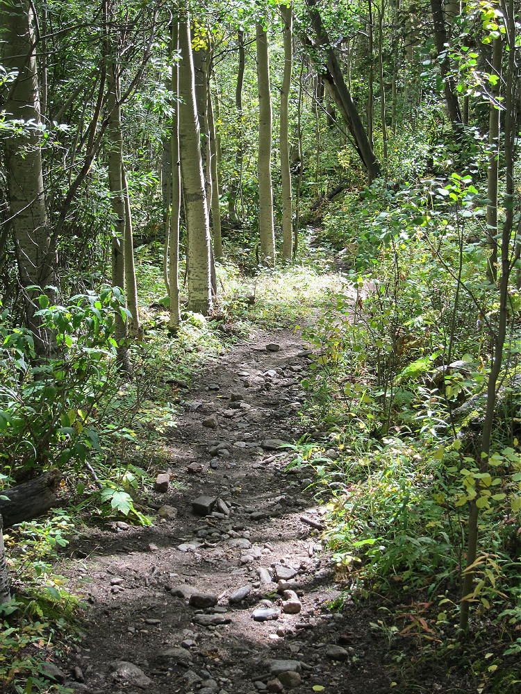
- Three Mile Creek Trail 1
-
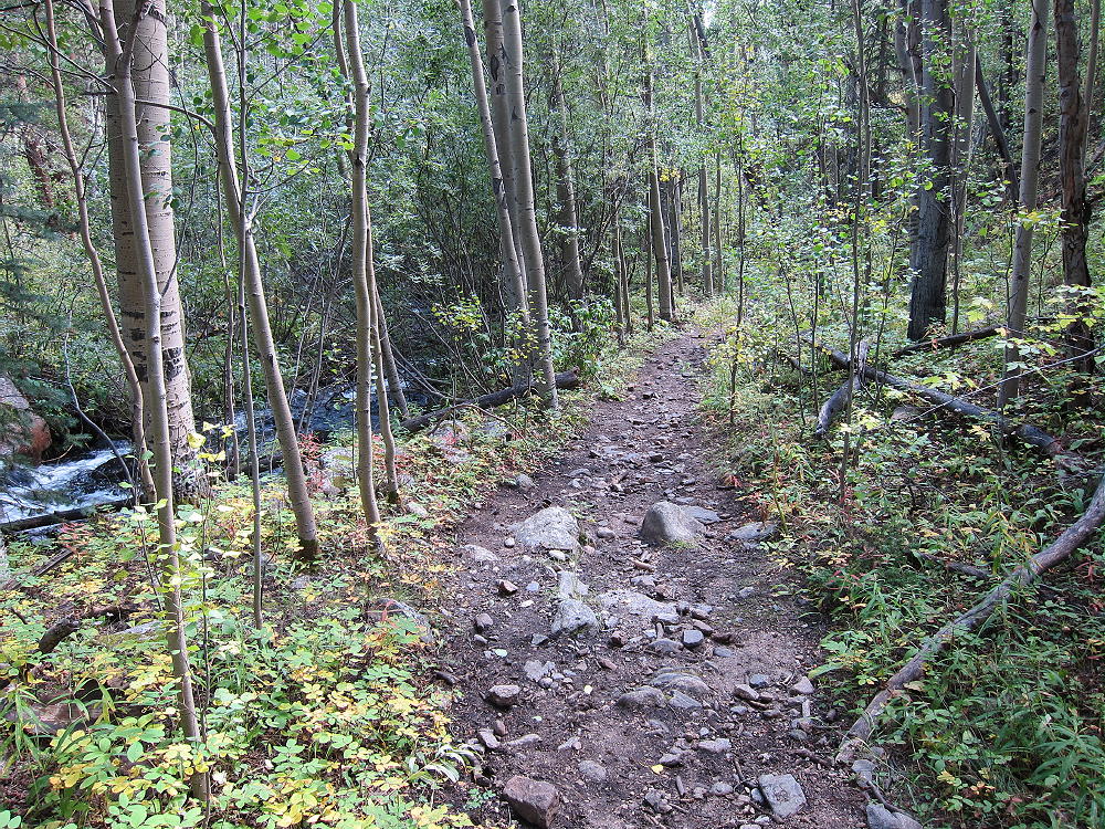
- Three Mile Creek Trail 2
-
- Three MIle Creek Trail 3
-
- Three Mile Creek Trail 4
-
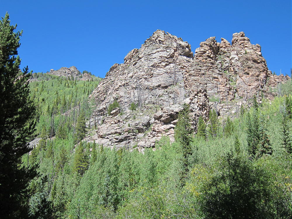
- Cliffs along Three Mile Creek Trail
-
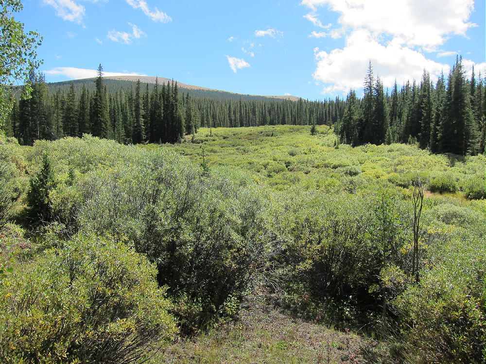
- Willows Far below Mount Logan
The trail gains altitude efficiently and eventually leads to a high pass at about 11,900 feet. However, if you stay on the trail all the way to the pass, as I did, you will end up too far north and will have to do extra work to climb Mount Logan.
4) Follow the trail up the canyon past the north side of Spearhead Mountain. The canyon splits at about 10,600 feet, and the trail heads up a small creek east of Spearhead and then climbs southeast. Follow this trail up steeply through willows and open high country. You can see the slopes of Mount Logan up to the southeast. After climbing straight up the hill for several hundred feet, the trail switches back to the left and makes a sharp turn to the north at 11,565 feet elevation.
The GPS Coordinates of this point are: N39 30.725 W105 38.807
5) Leave the trail at this bend and continue up southeast through meadows and sparse trees.
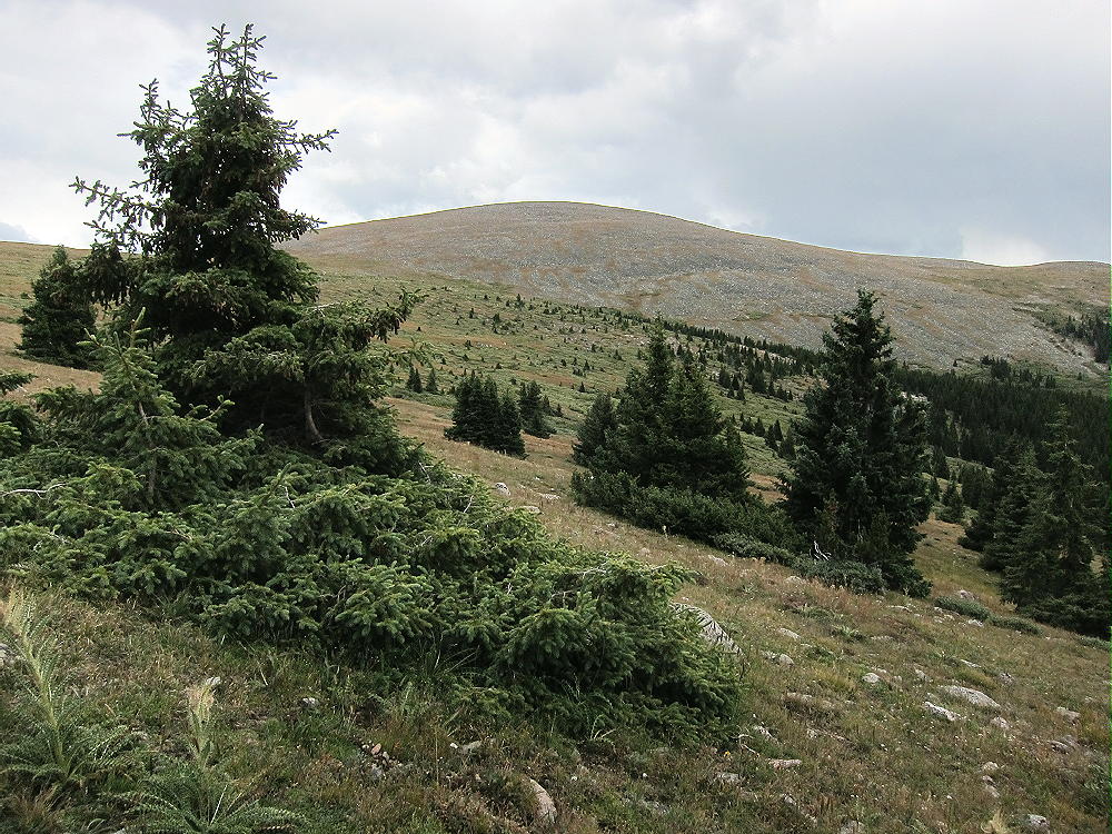
Off-Trail Route to Logan near Treeline
Climb toward the broad pass just north of Mount Logan. There is no real trail or marked route, but this part of the trip is not difficult; avoid willow thickets and talus piles.
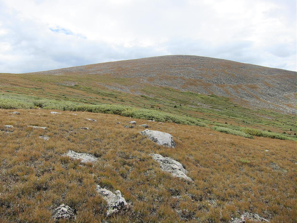
Mount Logan NW Slopes Route
6) At about 12,300 feet head south up the north slope of Mount Logan; climb across the tundra to the broad summit.
There are some remains from a helicopter crash north of the summit. A convenient wind shelter made from rocks is at the top – it makes an ideal spot to activate the mountain. Nearby are some old wooden remains from a geodetic triangulation station. Otherwise this mountain is wide open with no large rocks or other features – it is high and exposed. The incredible 360-degree view includes South Park, the Divide to the west, and the impressive alpine area around Mount Evans.
Mount Logan is a nearly perfect radio site. Human-caused radio noise and acoustic noise are minimal at this spot high in the Wilderness. On a day with good weather, it’s a pleasant place to do a SOTA activation. Be sure to bring a pole for an HF antenna.
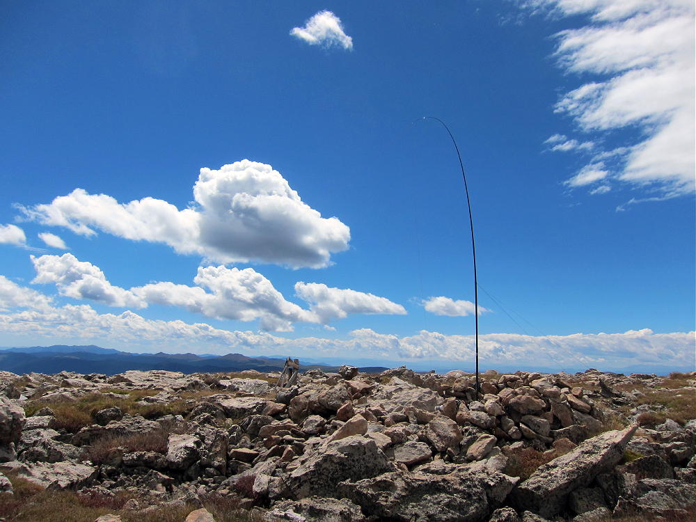
KX0R Mount Logan HF Activation
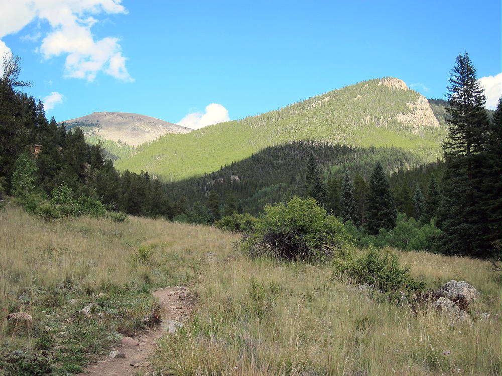
This peak has good VHF/UHF coverage of some areas out on the plains, as well as South Park and the surrounding mountains. The stunning views and fun hike make for a rewarding expedition. The total vertical gain is about 3800 feet, and the hike is about 12 miles round trip. It’s not the easiest summit around, but Mount Logan is a SOTA classic!
George Carey Fuller
KX0R
-
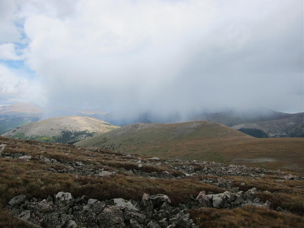
- Shower Headed for Mount Logan
-
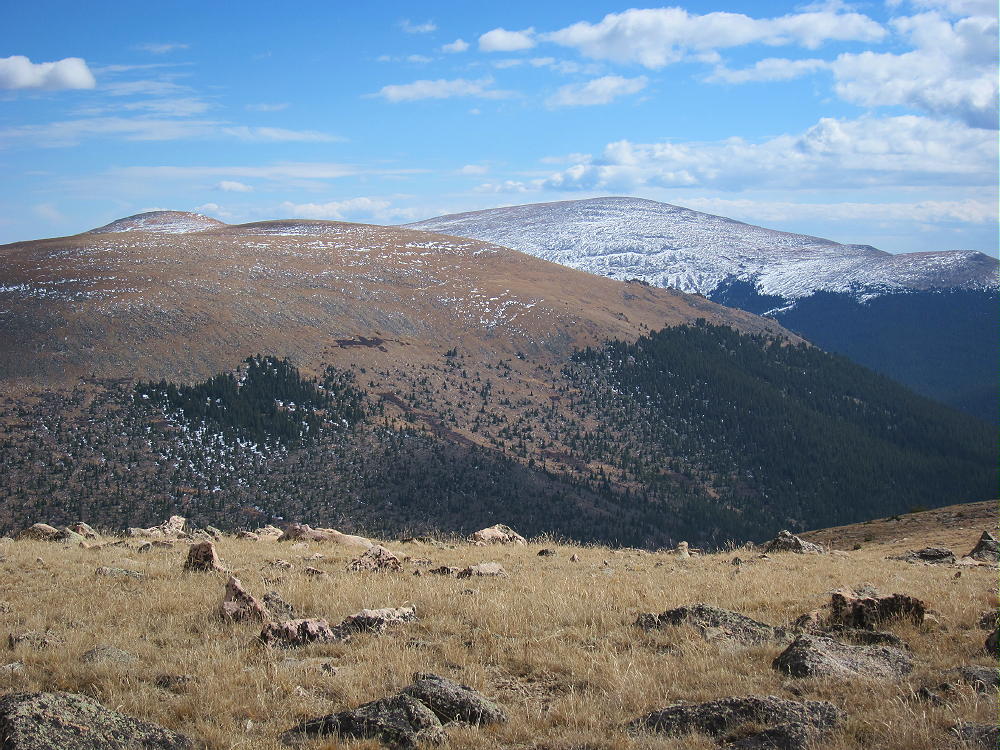
- Kataka and Mount Logan from Geneva Mountain – Mid-October
![]() !! WARNING !! There are old mountaineers, and
bold mountaineers... there are no old-bold mountaineers.
Hiking and mountain climbing are potentially hazardous activities particularly in Colorado with its extreme elevations. I am not accepting responsibility for any death or injury resulting from activations based on my trip reports. Proper training, experience, and personal capability assessment is required - enjoy!
!! WARNING !! There are old mountaineers, and
bold mountaineers... there are no old-bold mountaineers.
Hiking and mountain climbing are potentially hazardous activities particularly in Colorado with its extreme elevations. I am not accepting responsibility for any death or injury resulting from activations based on my trip reports. Proper training, experience, and personal capability assessment is required - enjoy!
Carey,
I reviewed your trip report before heading out to Mt Logan on Sunday for the 14er event. I wasn’t able to find the trailhead in the location you mentioned, but I did manage to find a trail after a couple hours into the hike. The weather wasn’t great on Sunday morning, so I eventually followed the trail back down, with the intent to finish the climb on a later date. If I can feed back more accurate details for the trailhead from CR-62, I will do so.