


W0C/PR-098
Swan Mountain
3291 m / 10796 ft
Aug 2, 2016
By KX0R
Swan Mountain is a somewhat challenging summit near Breckenridge. An old closed power-line road provides efficient access.
• White River National Forest
• Steep closed power-line road most of the way
• Moderately short, off-trail climb to peak
• Some navigation required
• Good game trails near the top
• Very prominent summit
• Fine HF site
• ~3.7 miles round-trip
• ~1800 vertical feet
-
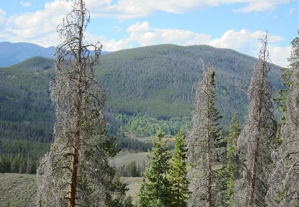
- Swan Mountain from the Southeast
Driving Directions:
• Drive west on I-70 from Denver
• Go through the Tunnel and continue to Frisco
• Exit and follow Highway 9 south toward Breckenridge
• At the southwest corner of Dillon Reservoir, turn east on Swan Mountain Road
• Drive about 0.2 miles
• Park across the river in a large parking area on the east side of the road.
• Parking is free
• The parking area is mostly used by fishermen
The Hike and Climb:
• Look for a social trail, and hike northeast from the parking spot a short distance
• Head for the large power lines
• Go through the woods and find the power-line road under the lines
• Climb steeply up this closed road
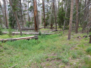
-
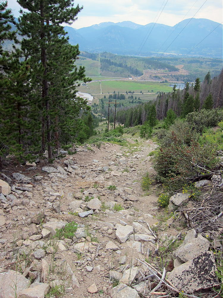
- Swan Mountain Power Line Road, Lower Part
• Follow the power lines all the way up to a huge meadow at 9800 feet
• Continue northeast along the road through the meadow
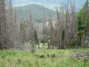
-
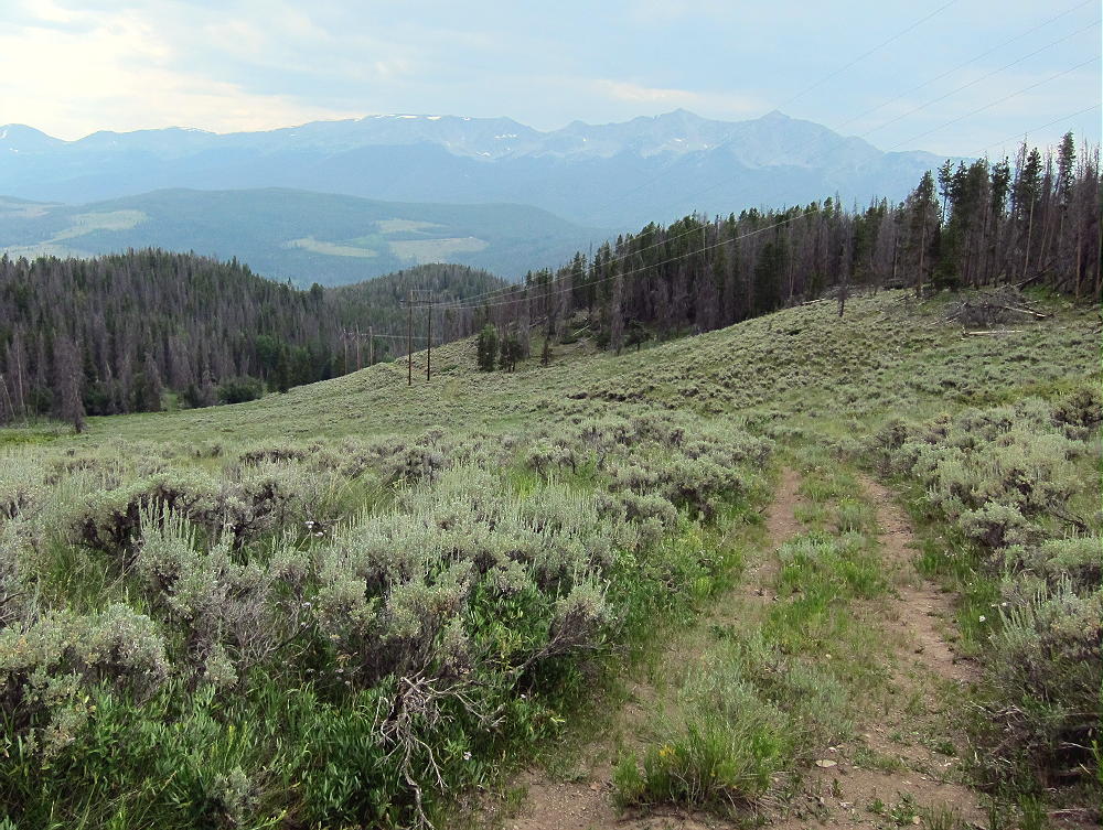
- Swan Mountain, Power Line Road, Upper Part
• Swan Mountain is visible to the east
• Follow the road as it ascends northwest of Swan Mountain, up to a saddle and power line junction at 10,300 feet
• Leave the road and hike east up to the ridge at about 10,400 feet. There is some deadfall as you go up through the forest. Try to follow game trails near the ridge-top.
• Continue southeast along the ridge and over a sub-peak at about 10650 feet
• Continue across a shallow saddle at 10,600 feet and follow a game trail southeast, up through open forest to the peak.
Additional Details:
You’ll know you’re on top when you come to the classic old triangulation station still standing up there!
-
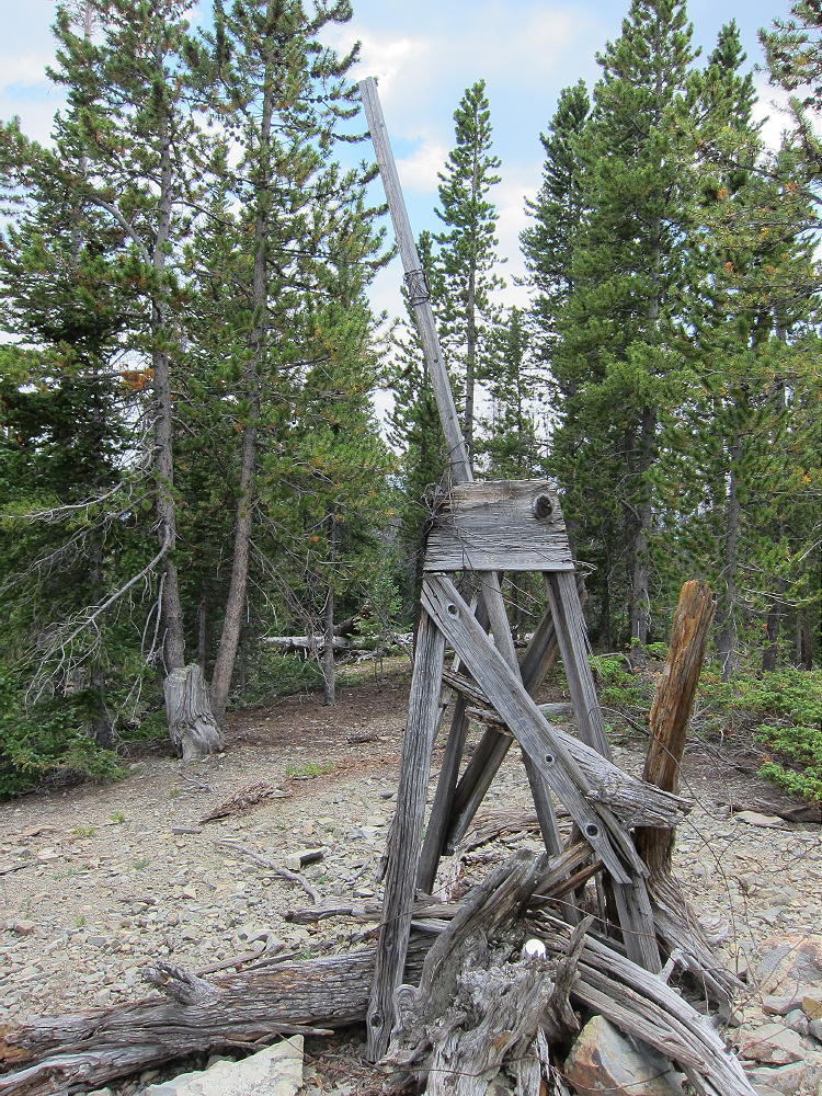
- Swan Mountain Summit Triangulation Station
There’s also a benchmark at that spot with the initials DMWW (Denver Water), the date 1931, and “N. SWAN”.
-
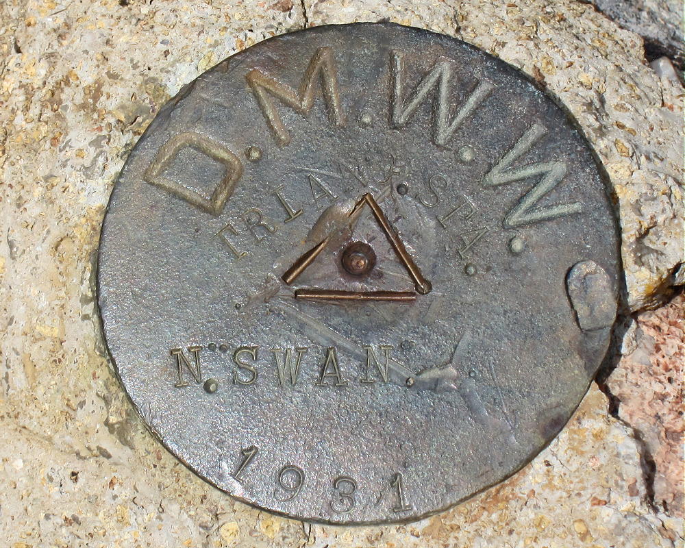
- Swan Mountain DMWW Benchmark
The broad top of the prominent mountain is covered with widely-spaced pine trees. It’s easy to set up radio gear and a wire antenna. It’s relatively friendly, and there are few rock outcrops; the summit appears to be made of soft shale. Few people visit the summit. Views are limited by the trees, but where you can see off the peak, it’s very impressive.
-
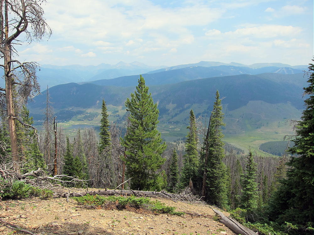
- Swan Mountain View East toward Keystone
Swan Mountain is a good HF peak. The major power lines are some distance from the summit, and the RF noise level is low. No nearby peaks block skip signals significantly. I had no problem making 33 contacts on four HF bands from up there. VHF/UHF coverage is probably limited to the area around the Blue River Valley.
-
- Swan Mountain KX0R SOTA Activation
-
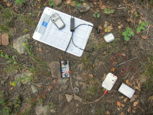
- Swan Mountain KX0R SOTA Radio Gear
Swan Mountain has a sister summit about 0.2 mile southeast of the main (north) peak. Both peaks have similar elevation, and the activation zone appears to include both of them, along with the shallow saddle between.
It’s possible to access this peak more directly by climbing up to the saddle northeast of the summit from the meadows and forest below.
-
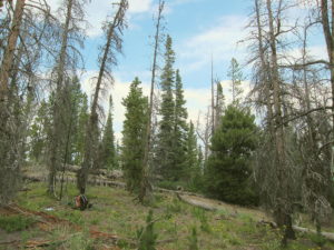
- Swan Mountain, West Side, Open Woods
-
- Swan Mountain, West Side, Direct Route
I descended this way, and it was more pleasant than the northwest ridge route. GPS is recommended for navigation on Swan Mountain.
This peak can be combined with several nearby SOTA peaks for a dual activation:
10450 W0C/PR-107
Mount Sniktau W0C/PR-031
Be aware of hunters in the fall – wear bright orange.
73
George
KX0R
![]() !! WARNING !! There are old mountaineers, and
bold mountaineers... there are no old-bold mountaineers.
Hiking and mountain climbing are potentially hazardous activities particularly in Colorado with its extreme elevations. I am not accepting responsibility for any death or injury resulting from activations based on my trip reports. Proper training, experience, and personal capability assessment is required - enjoy!
!! WARNING !! There are old mountaineers, and
bold mountaineers... there are no old-bold mountaineers.
Hiking and mountain climbing are potentially hazardous activities particularly in Colorado with its extreme elevations. I am not accepting responsibility for any death or injury resulting from activations based on my trip reports. Proper training, experience, and personal capability assessment is required - enjoy!