W0C/PR-107
10450
3185 m / 10450 ft
First Activation
Sep 12, 2016
By KX0R
Peak 10450 is a fun SOTA peak hidden in the forest near Breckenridge, Colorado
• White River National Forest
• Good marked trail much of the way
• Very moderate off-trail final climb, about 0.6 mile to a pleasant forested summit
• Nice hike partly along the Colorado Trail
• Interesting, popular trailhead
• Obscure summit, rarely visited
• ~ 5.5 miles round-trip
• ~ 1000 vertical feet
Driving Directions:
• Drive west from Denver on I-70 to Frisco
• Turn south on Highway 9 and drive toward Breckenridge
• Turn left, east, at a stop light north of Breckenridge onto Tiger Road
• About 2.1 miles from the stop light, look for a trailhead on the left (north) side of the road, at a small lake
• This is the Horseshoe Gulch Trailhead
• Galena Gulch leads south on the opposite side of the paved road from the Trailhead
• This is called Blair Witch Trailhead on Google Maps (click the link for Drone Video!)
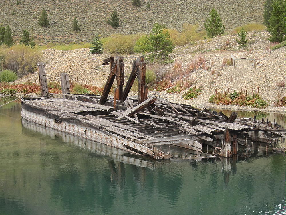
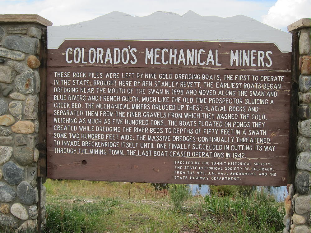
• It’s also the site of the Tiger Gold Dredge, sitting in the small lake
• It’s a very popular mountain bike trailhead with convenient access to the Colorado Trail
• Parking is free, but the lot may fill up on summer weekends
The Hike:
• Hike around the east end of the lake by the dredge and follow the excellent Horseshoe Gulch Trail 9131 north up the valley. Keep an eye open for mountain bikers!
• At about 0.5 miles, the trail intersects the Colorado Trail No. 1776
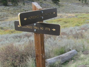
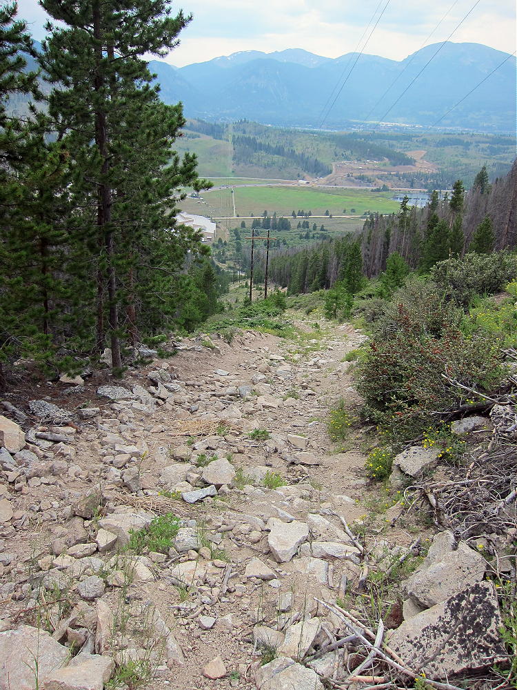
• Follow the Colorado Trail east as it climbs switchbacks up a hill
• The trail leads around the north side of the hill
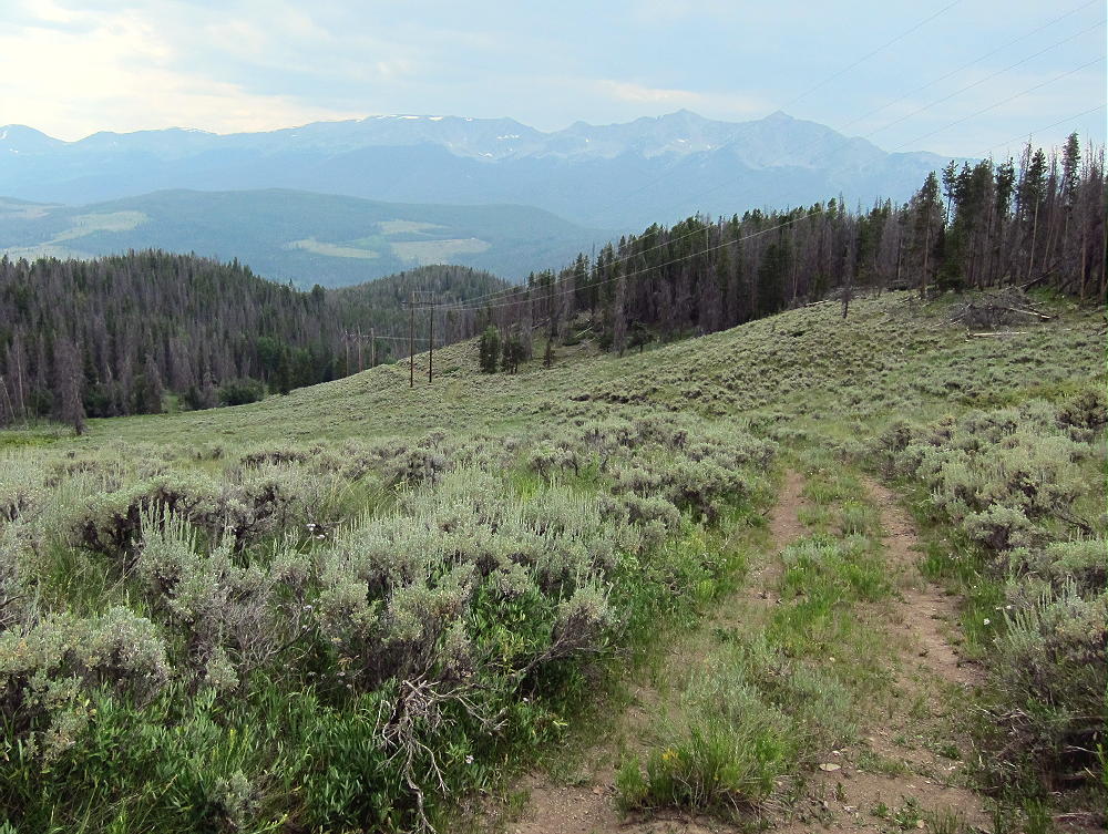
• Next it crosses an open, clear-cut saddle at about 9850 feet
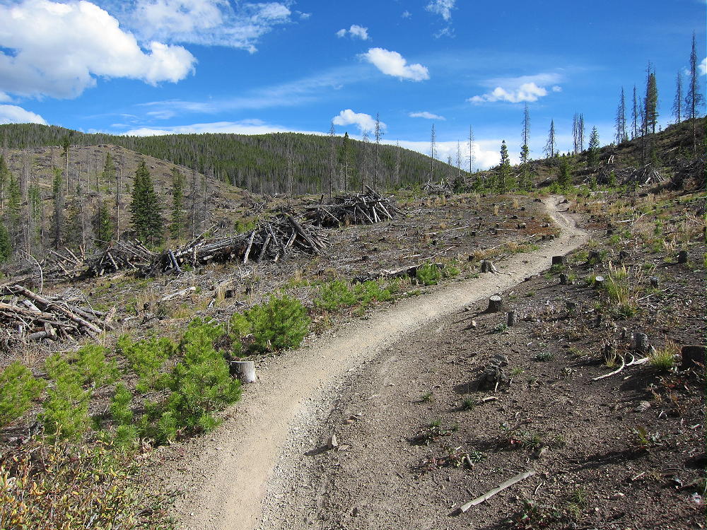
• The trail ascends around the north side of a higher ridge to a saddle at 10,200 feet
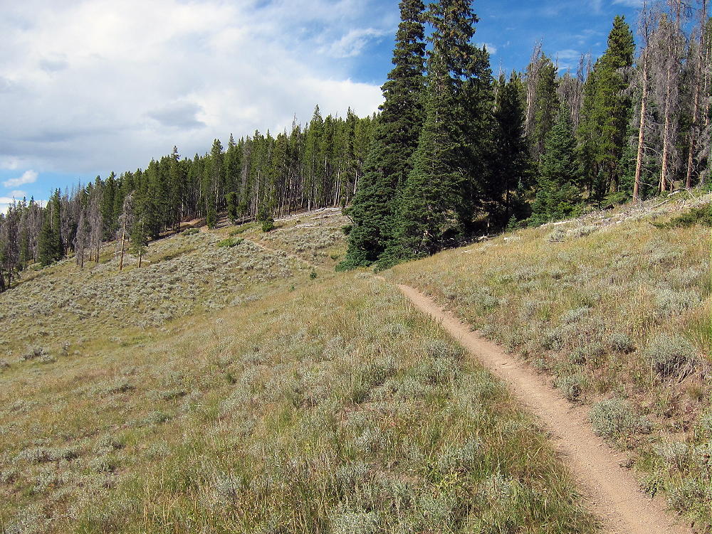
• At the saddle, leave the trail and head south up the big forested ridge
• Follow the ridge about 0.2 miles to a sub-peak at 10,400 feet
• Continue southwest through the forest for 0.4 additional miles, along the relatively open ridge to the actual summit
• The correct summit is obvious, because the land falls away steeply to the west, south, and east
Additional Details:
While you’ll probably see hikers and bikers on the Colorado Trail, Peak 10450 sees very few visitors – it’s an average summit surrounded by much higher peaks. However, 10450 is very accessible – I was surprised that it had not been activated for SOTA.
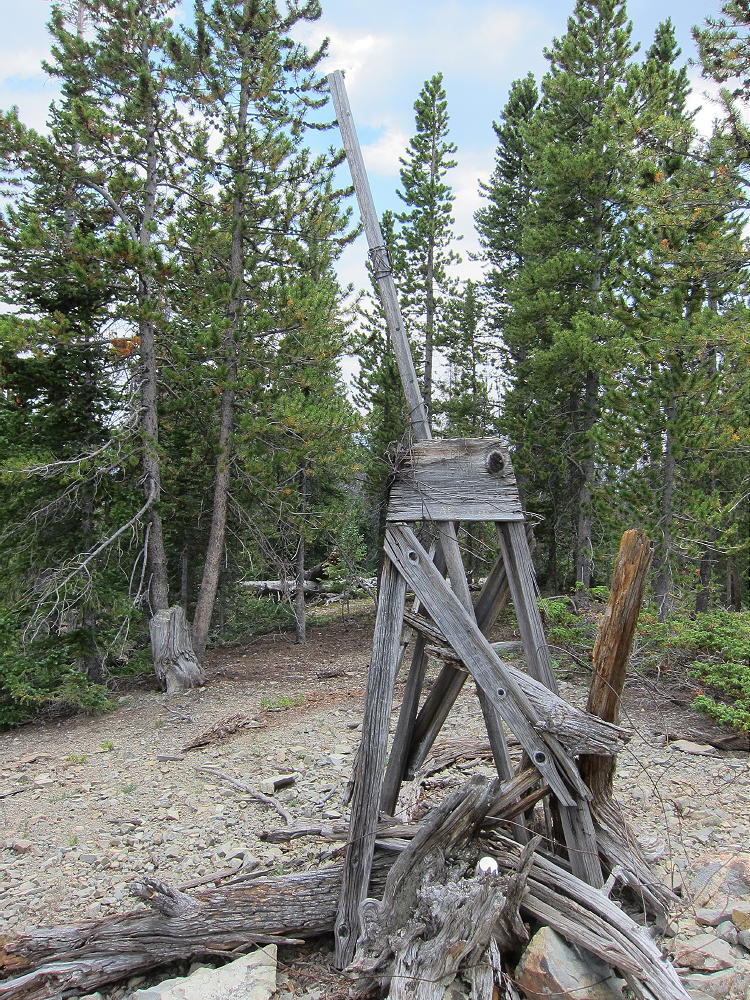
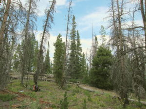
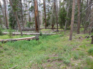
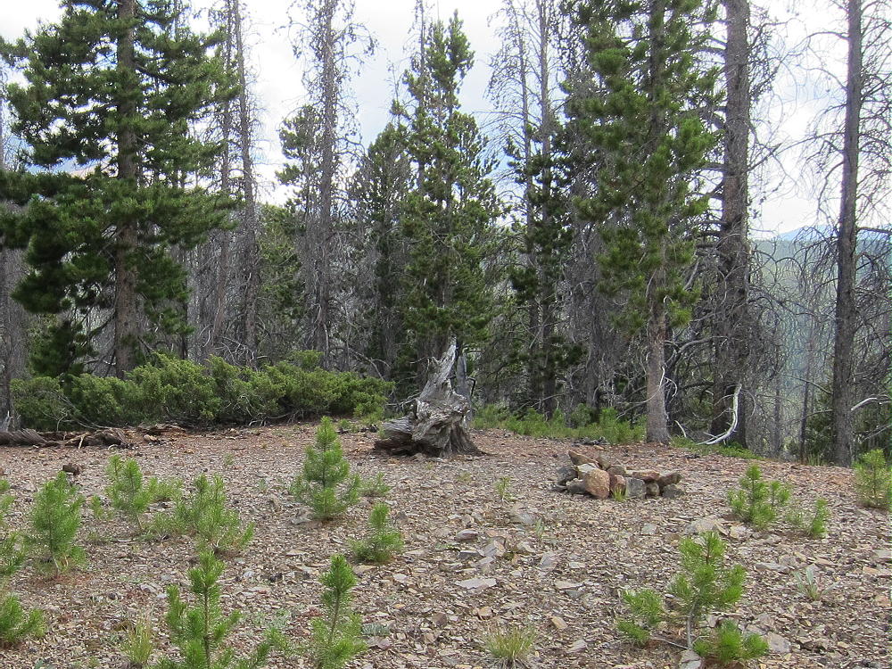
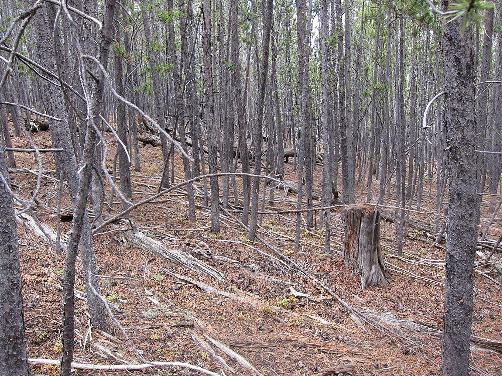
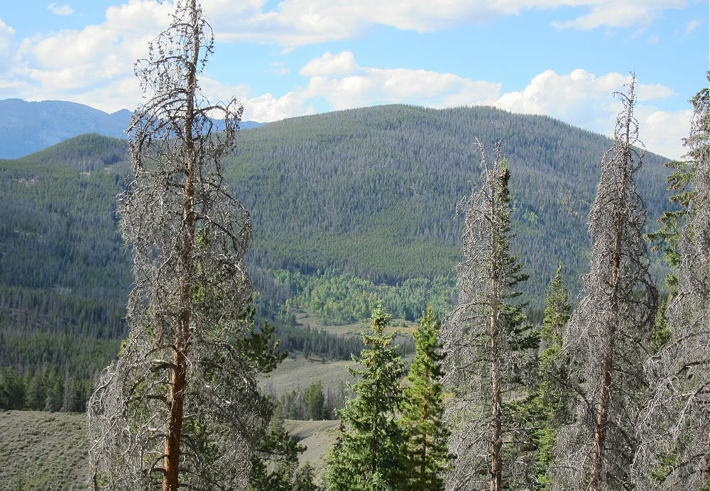
Most of the route along the ridge is through open pine forest, but there are a few spots of thick lodge-poles with a little deadfall. Be sure to hike all the way south to the actual summit. There’s a pile of rocks near the peak.
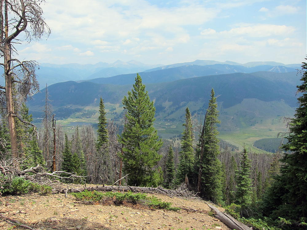
The large Activation Zone is open forest, with plenty of trees for supporting a pole or a wire. It’s possible to set up in a sunny spot with some shelter from wind. There are partial views through the trees off the south side.
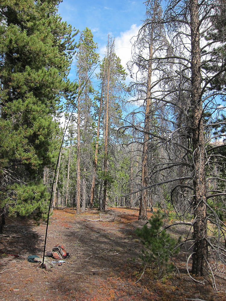
Because there’s no development near the peak, the HF noise level is low. It’s a fine HF site – I made 40 contacts on 4 HF bands. VHF/UHF coverage probably is limited to the area around Breckenridge and Frisco.
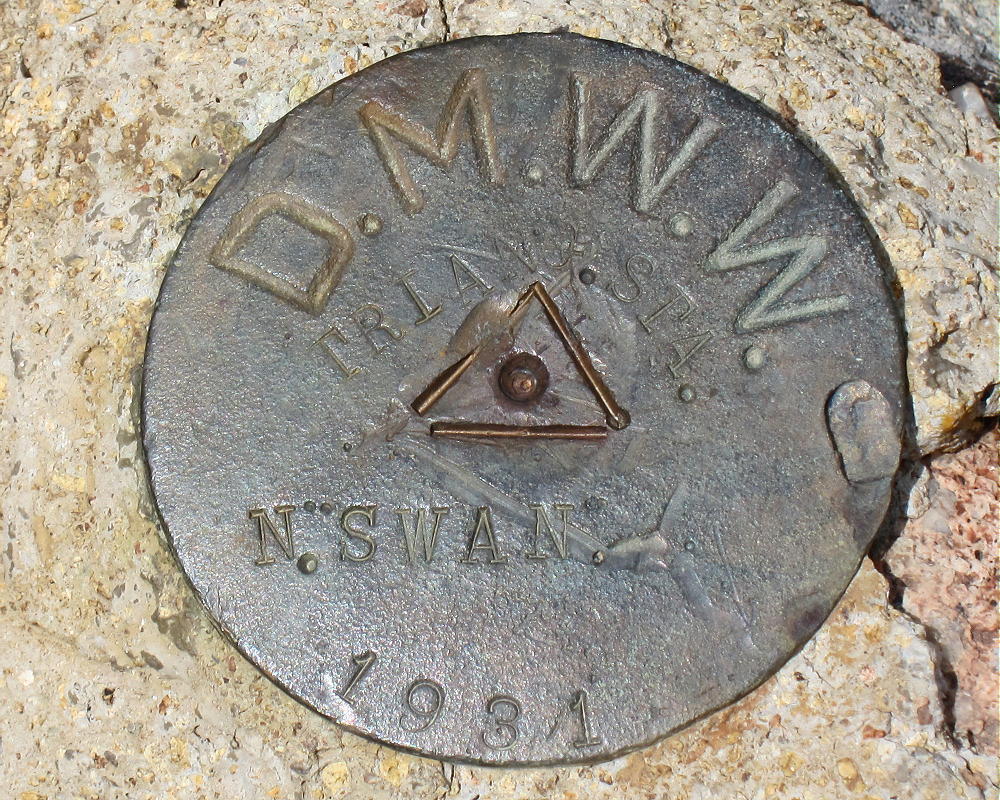
Peak 10450 is close to Swan Mountain W0C/PR-098, and the two mountains could be climbed in a long day for a dual activation.
73
George
KX0R
 !! WARNING !! There are old mountaineers, and
bold mountaineers… there are no old-bold mountaineers.
Hiking and mountain climbing are potentially hazardous activities particularly in Colorado with its extreme elevations. I am not accepting responsibility for any death or injury resulting from activations based on my trip reports. Proper training, experience, and personal capability assessment is required – enjoy!
!! WARNING !! There are old mountaineers, and
bold mountaineers… there are no old-bold mountaineers.
Hiking and mountain climbing are potentially hazardous activities particularly in Colorado with its extreme elevations. I am not accepting responsibility for any death or injury resulting from activations based on my trip reports. Proper training, experience, and personal capability assessment is required – enjoy!