W0C/FR-092
Mount Morrison 2397 M / 7837 FT
Nov 10, 2013 by KX0R
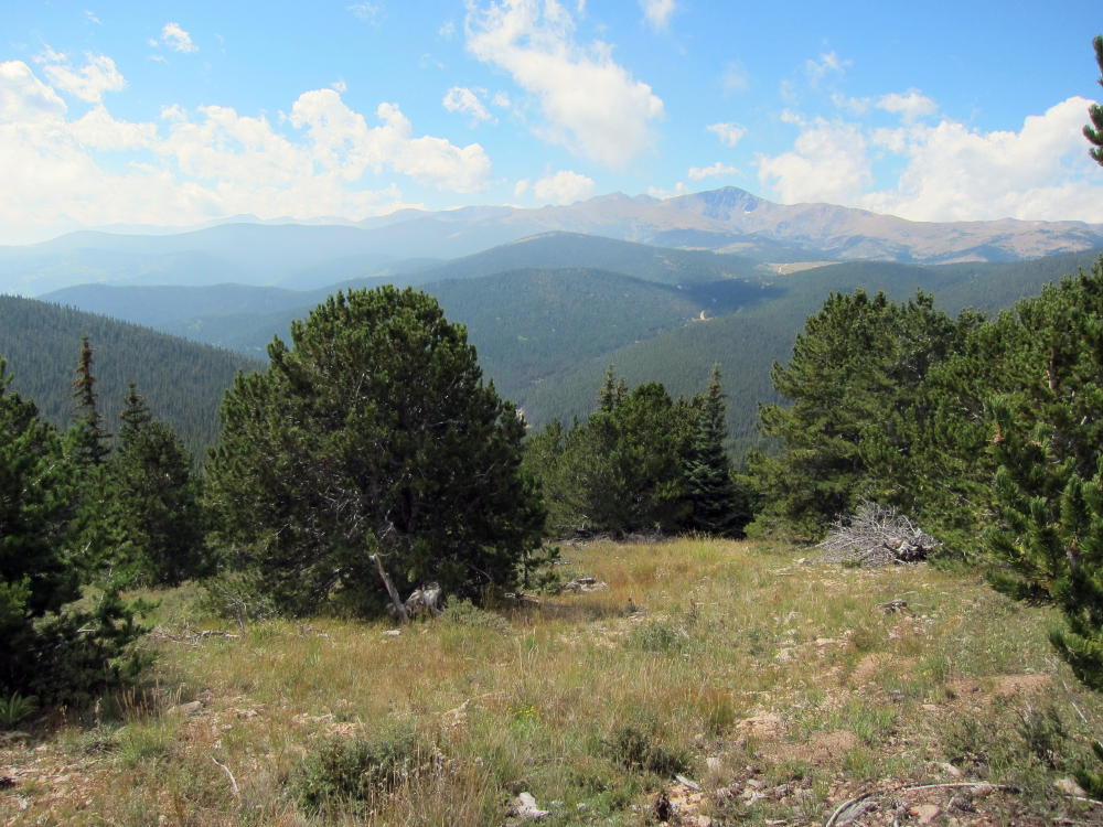
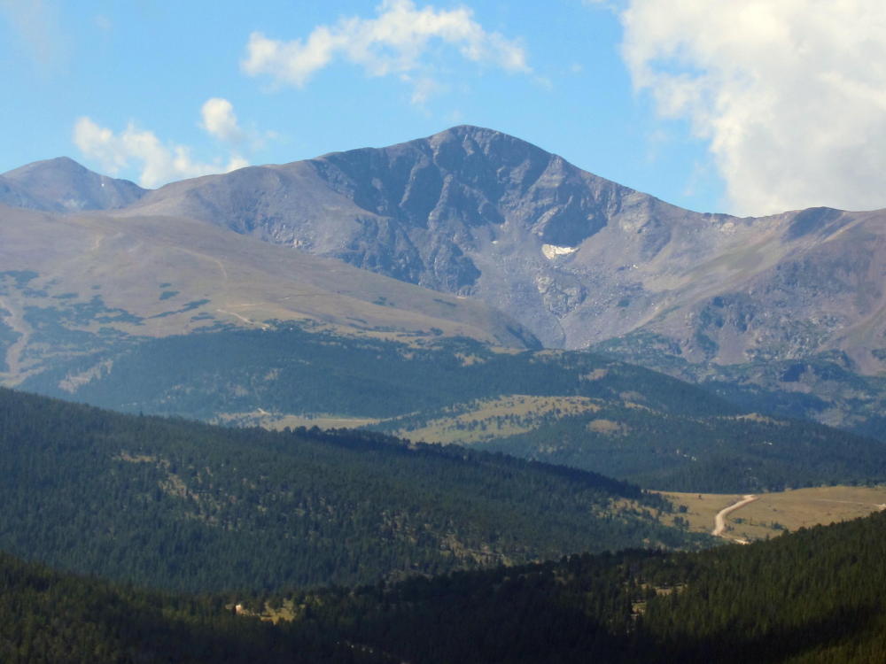
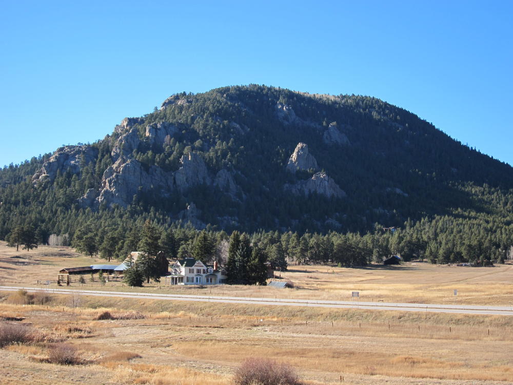
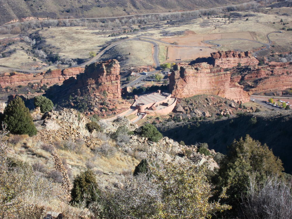
Mount Morrison is a very accessible peak located right above Red Rocks Park and Amphitheater, just west of Denver. The trip starts with a drive to Morrison near Red Rocks.
Drive west from Morrison on Bear Creek Road almost ½ mile. Turn north into Red Rocks Park Entrance 4 – the west entrance. Look for parking about 100 yards up the road on the right. There is no charge for entering the Park or for parking, but parking might fill at the trailhead on busy weekends. The trailhead is obvious on the west side of the road, but there are no signs or facilities. The rough, mostly unimproved South Ridge Trail goes up almost 2000 vertical feet, starting near 5900 ft, to the summit at 7837 ft, in less than 2 miles. The trail is direct and steep – there are no switch-backs. The first half mile is steep, the middle part is easy, and the last half mile is the very steep. There is some Class 3 scrambling for about 200 feet or more on the exposed rocky ridge below the summit. Going down the steep part is worse than going up – it’s better to sit down than to slip and fall.
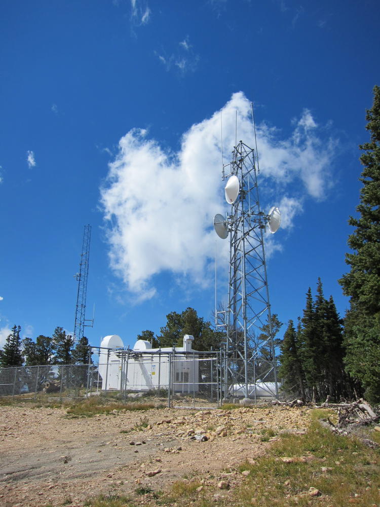
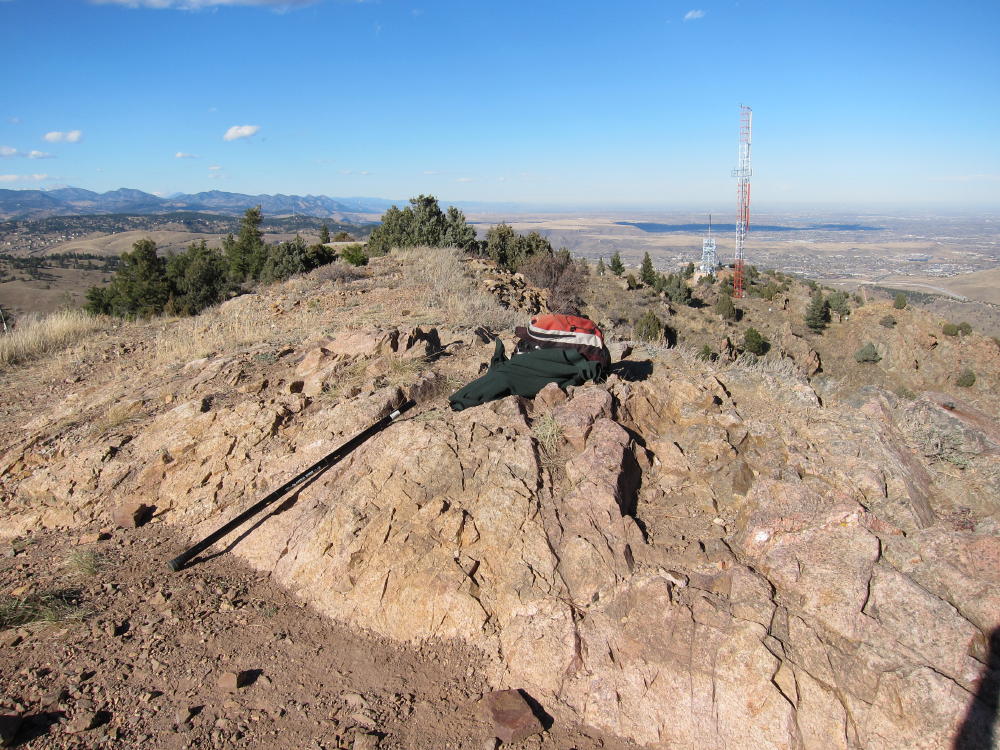
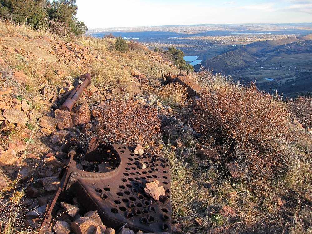
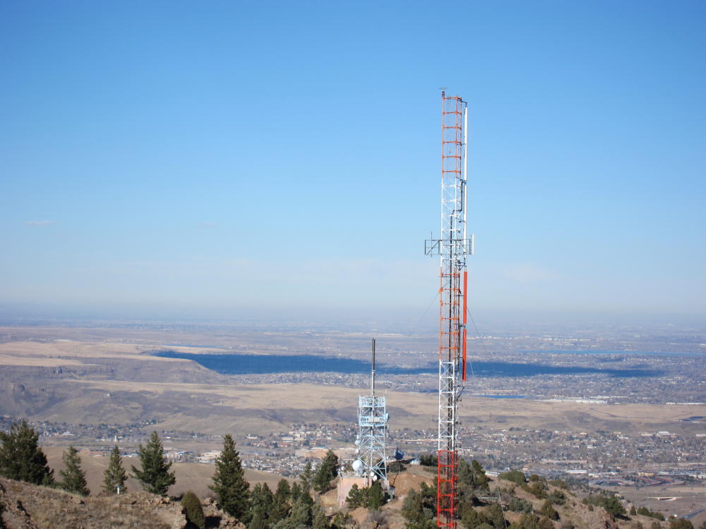
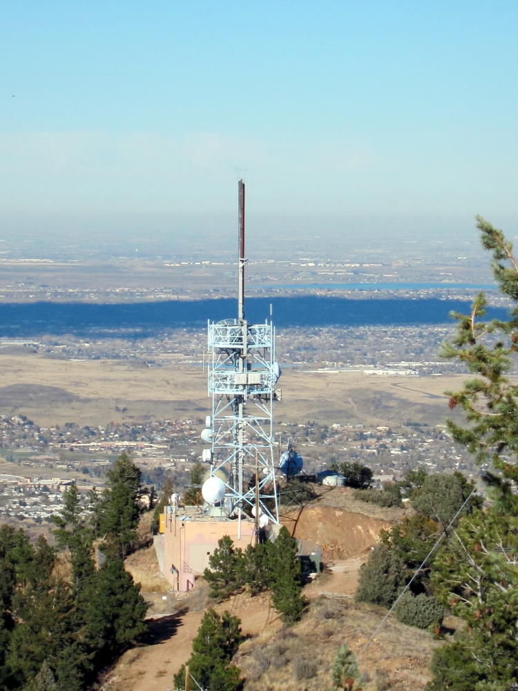
The South Ridge trail is the only one that is “approved” and OK to hike. Hiking on closed trails is strongly discouraged. Mount Morrison has had a hard life during the past hundred years or so. Currently the peak is a major transmitter site for the Denver Metro Area – there are a couple of large towers about 150-200 yards north of the actual (south) summit. Concrete pads, tower anchors, and assorted junk remain from radio facilities that previously existed on the south summit. An old steam boiler lies rusting near the top – was it used for power for a radio transmitter long ago? On the northwest side of the mountain there’s a jeep road, but this is not open to the public for driving up to the summit.
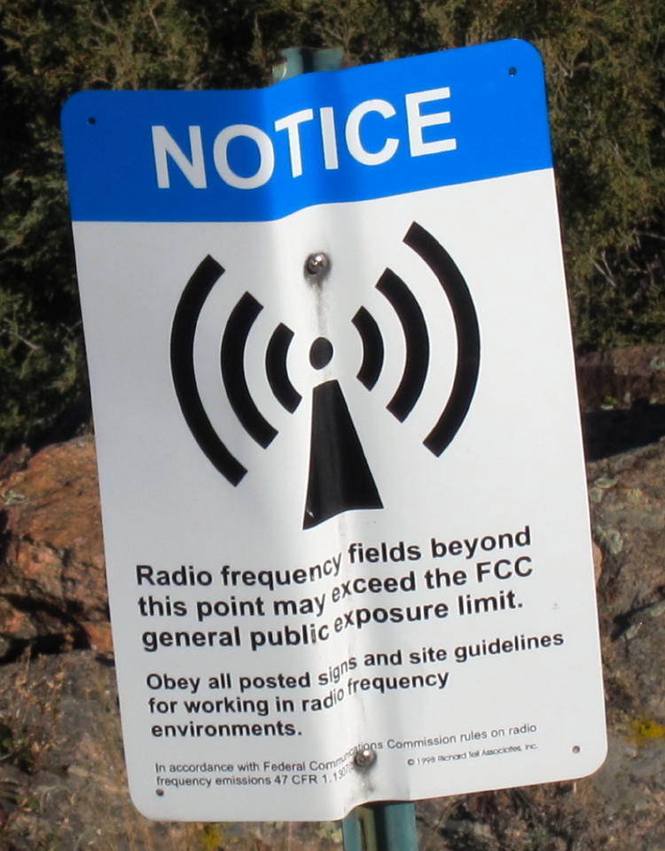
Just north of the summit a power pole stands, with the high voltage disconnected from a transformer. The high voltage line appears to be live, radiating line noise, because I had about 5-10 db of AC RF noise on 20M. I heard almost no noise on 40M. The big surprise was that there was no RFI from the nearby transmitters! Those antennas look really serious, and the site nearby is posted with warnings for RF exposure limits.
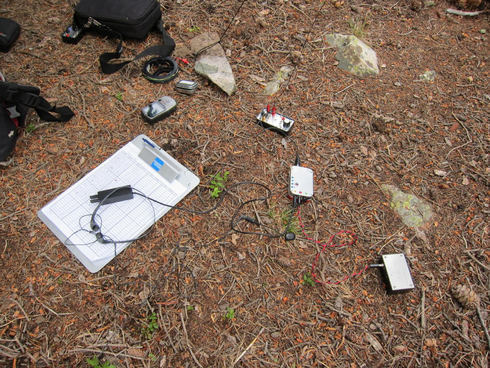
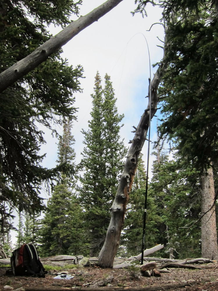
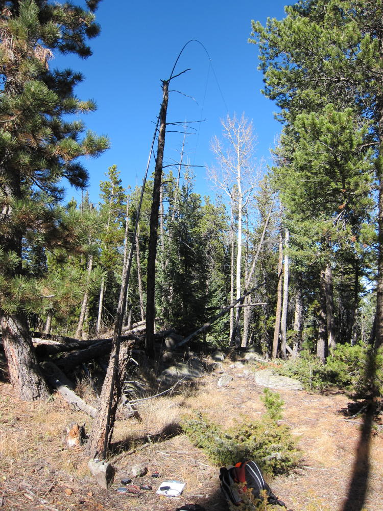
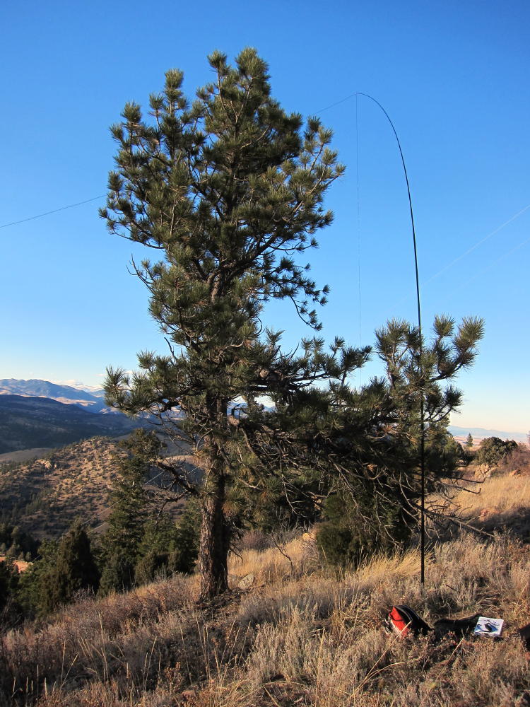
I set up my rig about 50 feet west of the south summit, about 15 feet below the summit rock, with a wire stretched from my pole southwest down the hill. There are few useful trees on the summit. A SOTA location up there is a compromise between the power pole, the transmitters, visitors, wind, abundant cactus, and the limited flat ground. The front (east side) of the mountain is very steep. Needless to say, this is probably an awesome VHF/UHF site, unless the RFI level creates intermod or overload problems.
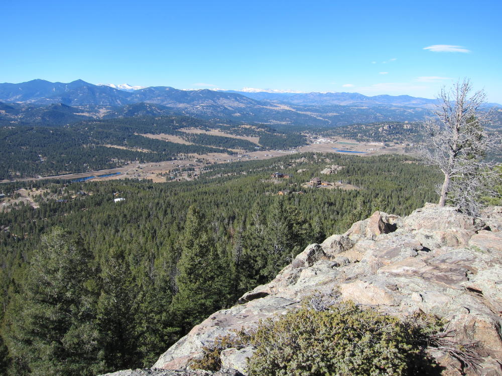
In spite of the AC line noise on 20M, I had a nice CW activation with 34 contacts on 20M and 7 on 40M. The view was spectacular, and it was exciting to be so high above Denver in the late afternoon.
The trip down is steep, relatively fast, and OK – if you have good knees.
Until I did this hike, I didn’t understand why Mount Morrison wasn’t previously activated, given its proximity to Denver and public access. There are a couple of fourteeners that are easier to climb than Mount Morrison! It certainly requires a lot of work for one SOTA point; there are peaks in other states where a similar climb might be worth 8 or 10 points.
This is actually a very rewarding SOTA adventure, if you’re in good condition and don’t carry a pack full of heavy gear.
George Carey Fuller
KX0R
Mount Morrison South Ridge Route
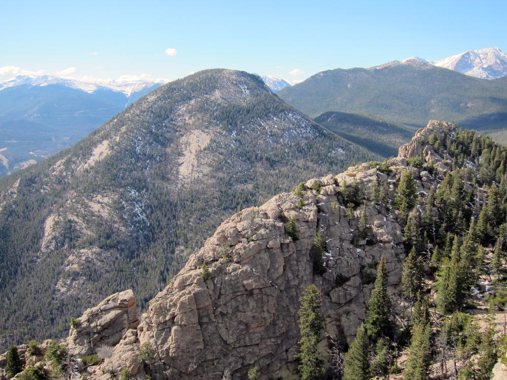
Summit of Mount Morrison
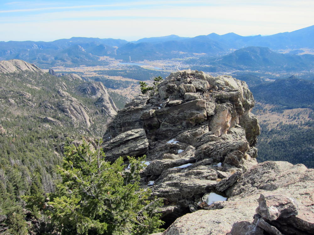
Red Rocks from Mount Morrison Summit
RF Fields Warning Sign near Transmitters
Old Boiler near Mount Morrison Summit
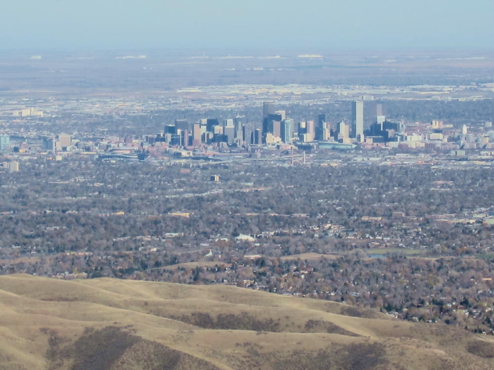
View of Denver from Mount Morrison
Radio Towers on Mount Morrison
Transmitter on Mount Morrison
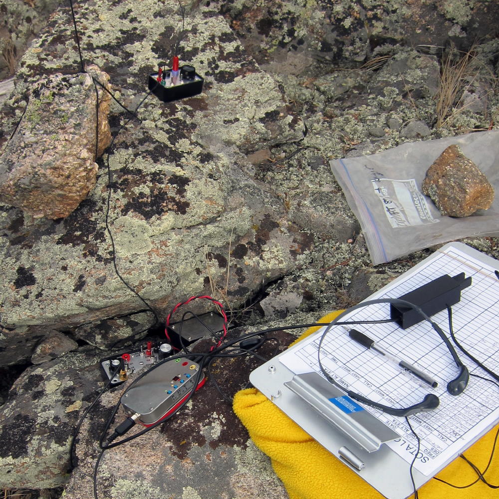
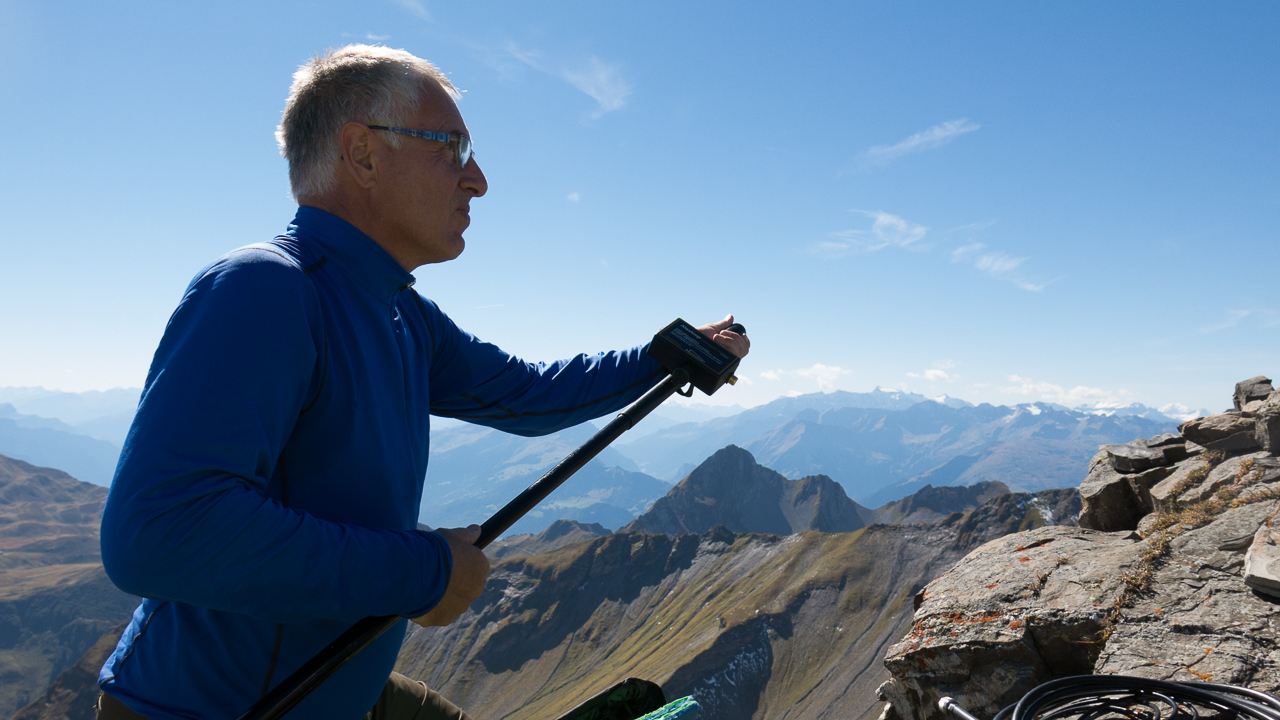
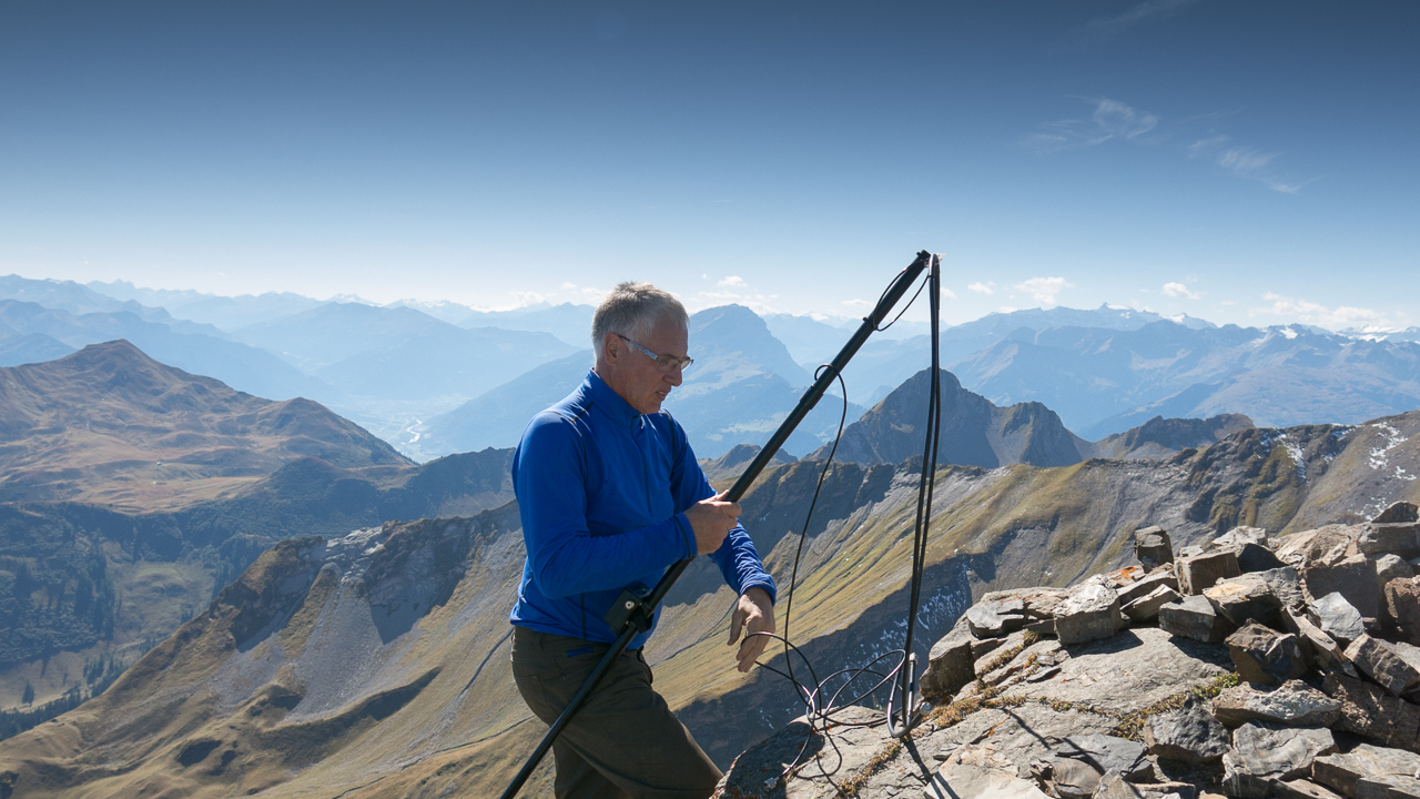
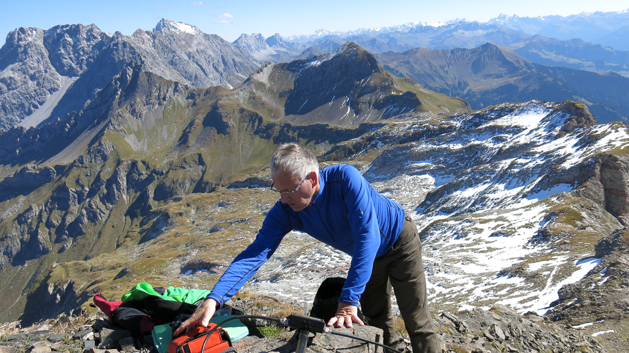
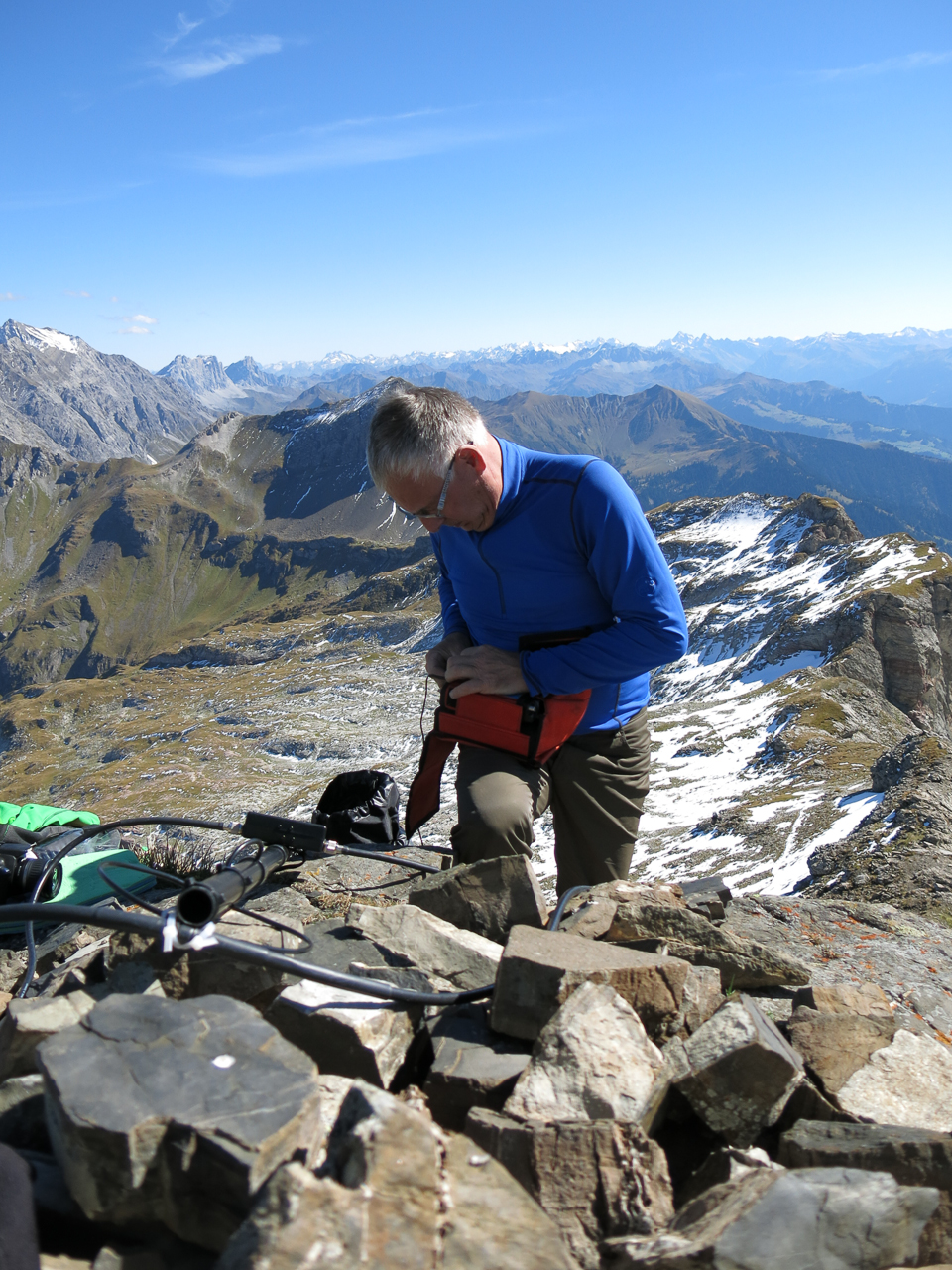
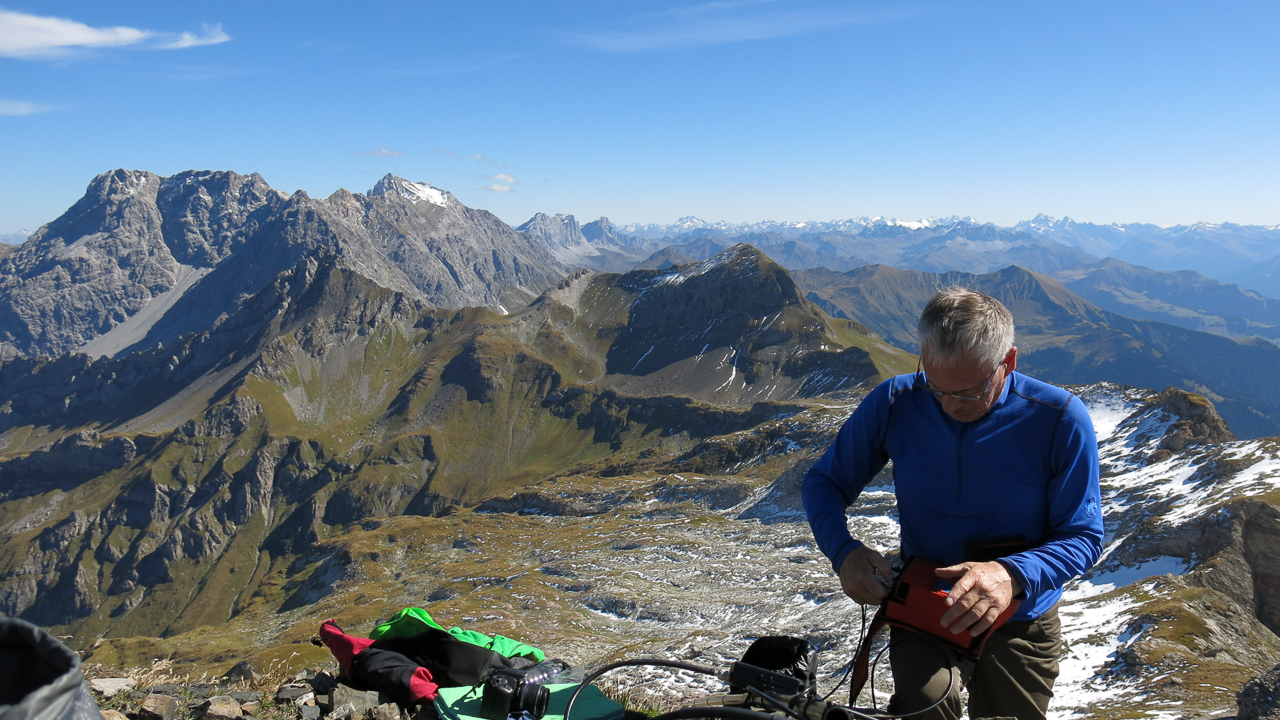
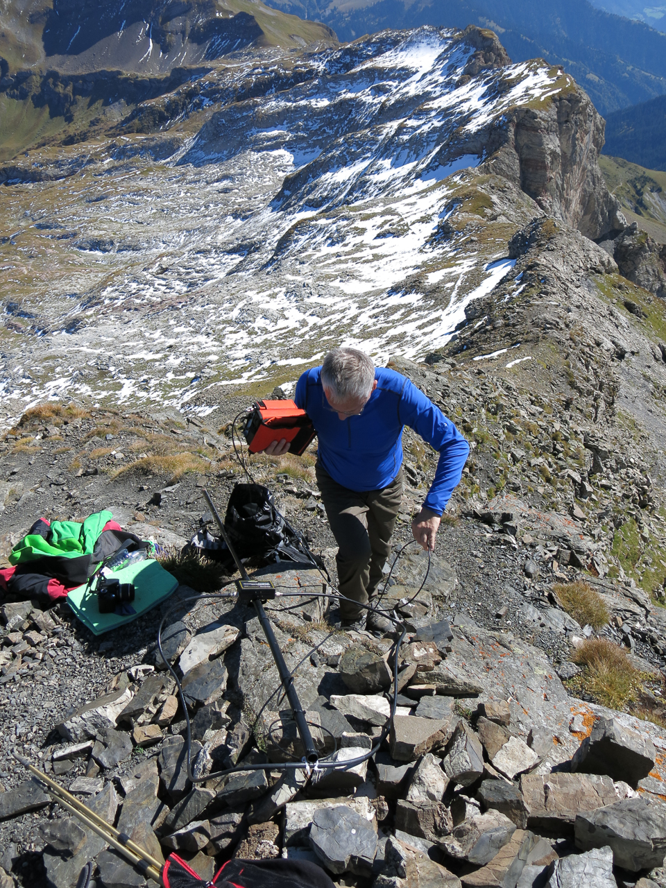
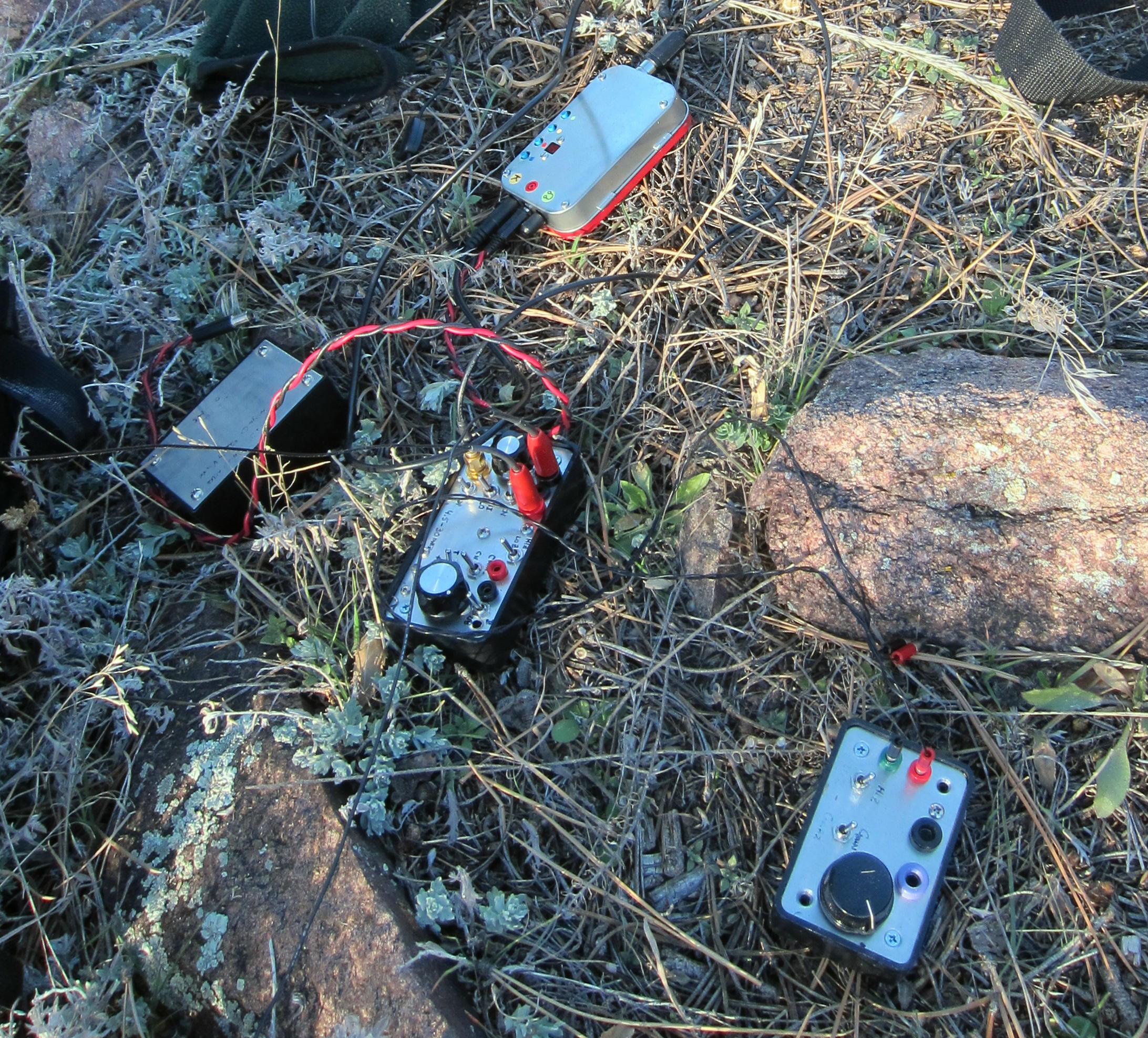
KX0R Activation Gear
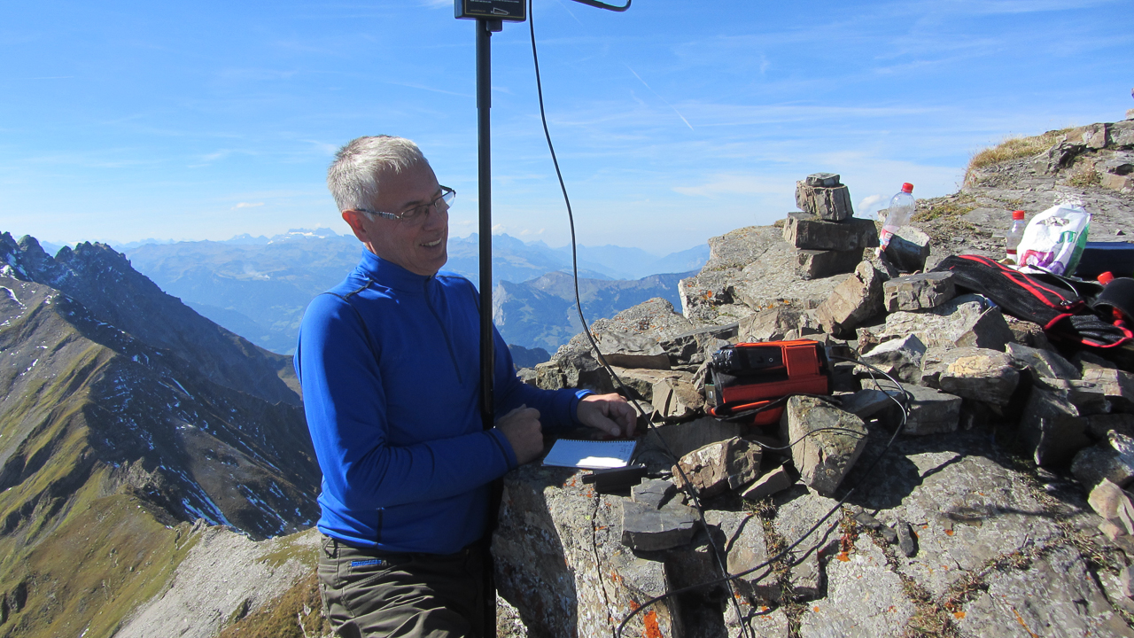
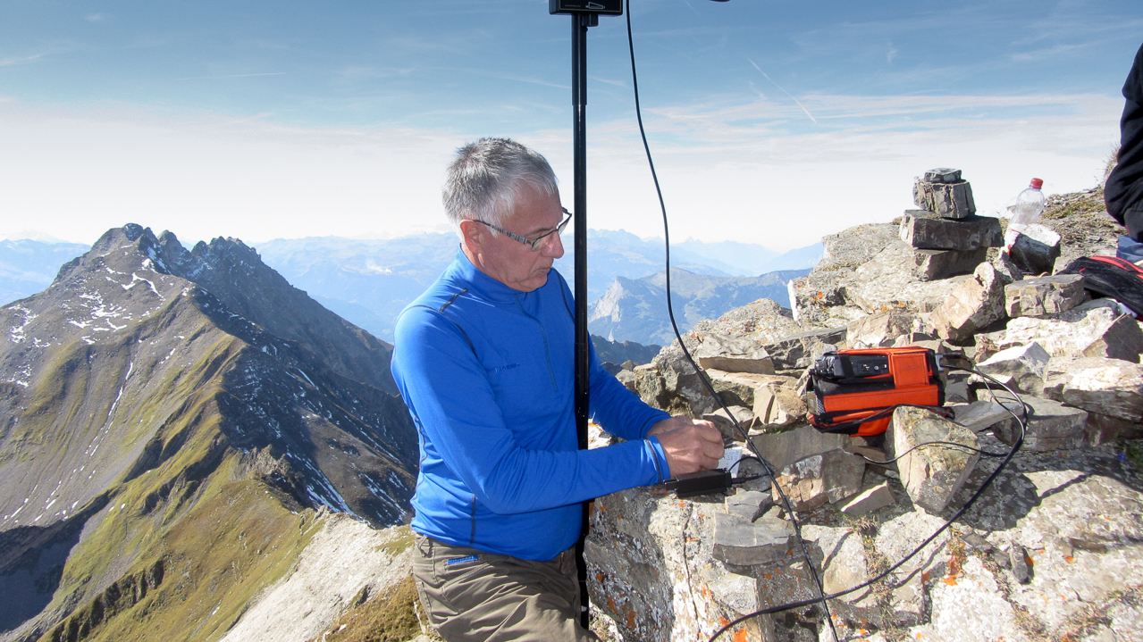
KX0R Activation near Summit
<
!! WARNING !! There are old mountaineers, and
bold mountaineers… there are no old-bold mountaineers.
Hiking and mountain climbing are potentially hazardous activities particularly in Colorado with its extreme elevations. I am not accepting responsibility for any death or injury resulting from activations based on my trip reports. Proper training, experience, and personal capability assessment is required – enjoy!
W0C/FR-145
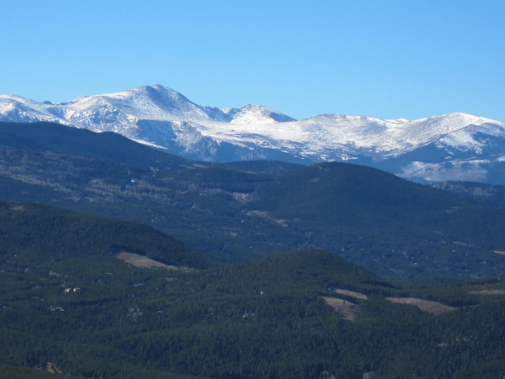
McGregor Mountain 3190M / 10,486 FT
Sep 01, 2013
by KX0R
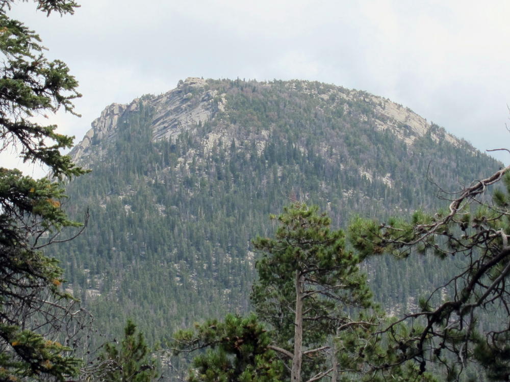
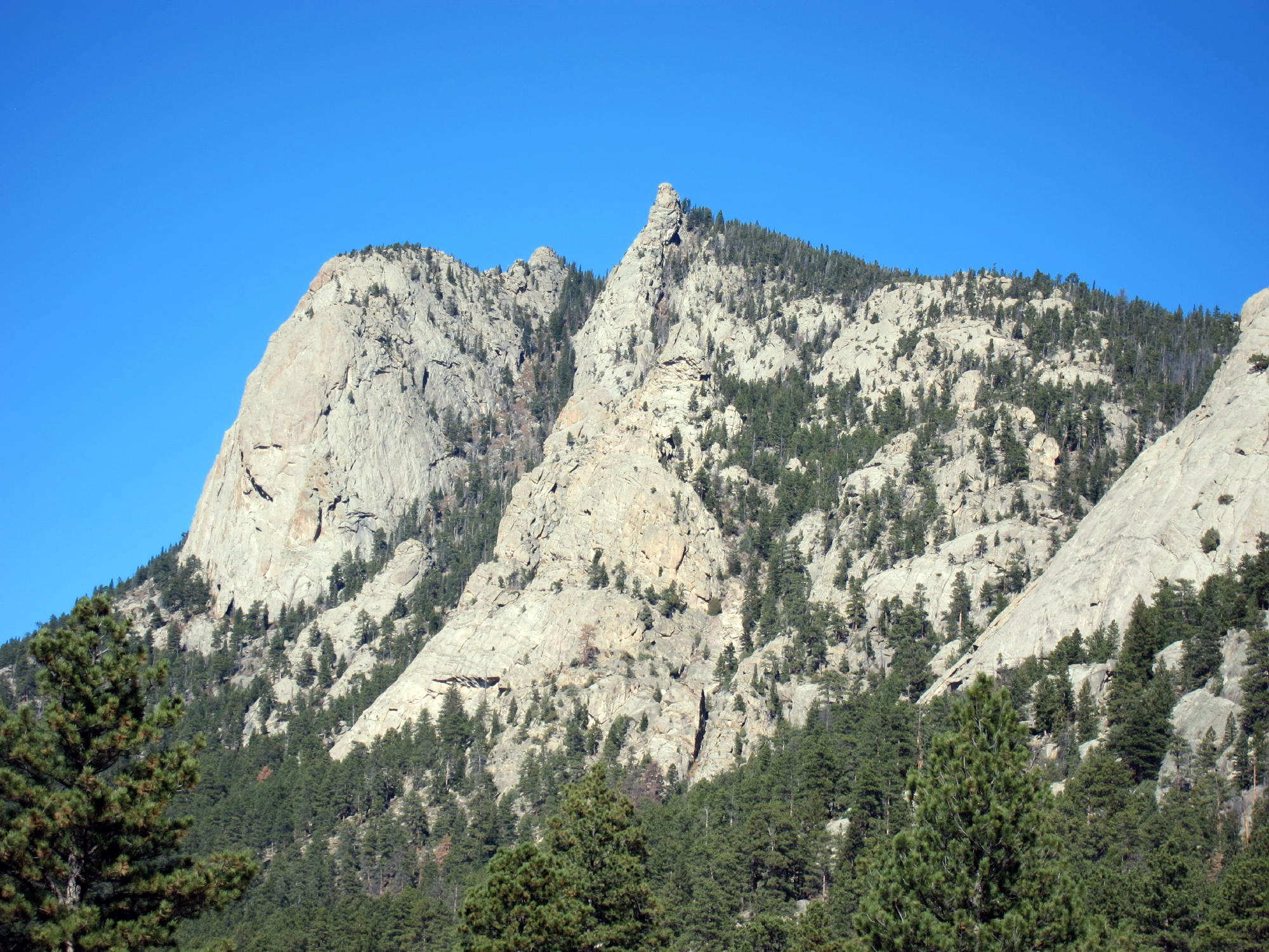
McGregor Mountain is a seldom-climbed prominent granite dome located in Rocky Mountain National Park, close to Estes Park. At 10486 feet it towers over 2000 feet above its immediate surroundings, but it’s dwarfed by major peaks several miles away. Activating this peak requires considerable effort with some risks no matter how you do it. There are no trails up or near McGregor. Activating this giant dome provides an exciting challenge – it’s a SOTA classic!
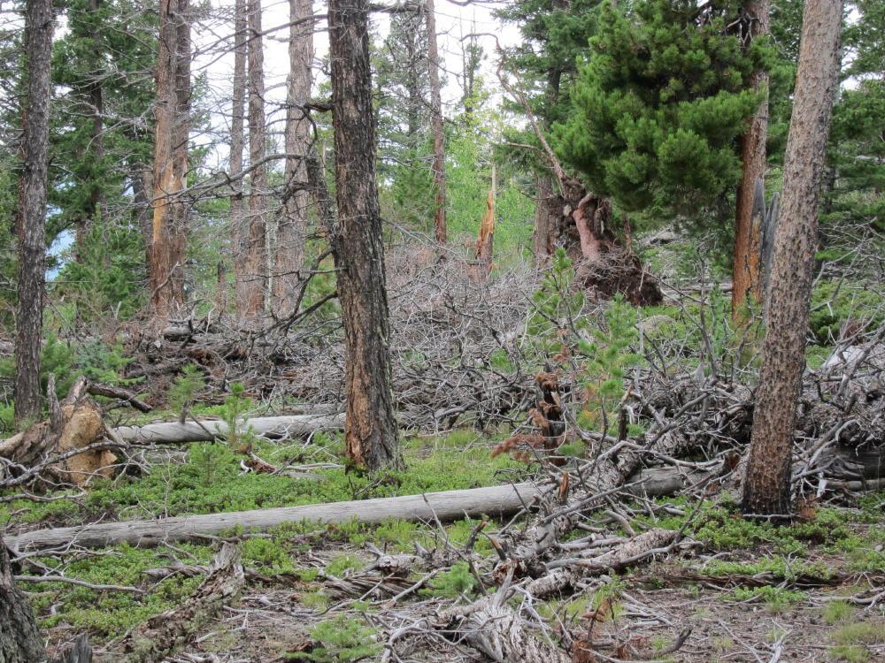
My ascent up McGregor was full of surprises. The original plan was to ascend the major gulch west of McGregor – the gulch route looks reasonable on the topo map. I parked just west of RMNP Fall River Entrance Station. There is a service road up the gulch, but it’s closed to the public. I skirted above and to the west, and I was able to drop into the gulch and go a short distance upstream, but I found the route blocked by huge boulders and thickets. I headed NW up a tributary gulch, up steep slopes covered with fallen trees, loose rocks, thickets, and thorny bushes. It was so bad I almost quit and went down; but I gradually gained altitude, and above 9000 feet the route became more reasonable. I found a game trail and headed NW up to a forested bench at about 9400 feet. The problem was that I had gone NW, away from McGregor, so I had to head northeast and then east toward the mountain.
The route over the forested bench was tedious but much better than the steep slopes down in the gulch. The whole place is covered with thousands of fallen pine trees, most with snagly limbs, so traveling requires picking over and around hundreds of trees. Closer to McGregor there are several forested, rocky ridges to negotiate, but there were no major problems getting over or around these obstacles. The last of these ridges is at about 9800 feet, and from there I descended northeast and then ascended up to the saddle below the west slope of McGregor. There is a faint trail near the saddle – it looks like it comes up from Black Canyon Creek 600 vertical feet and 1/2 mile to the north.
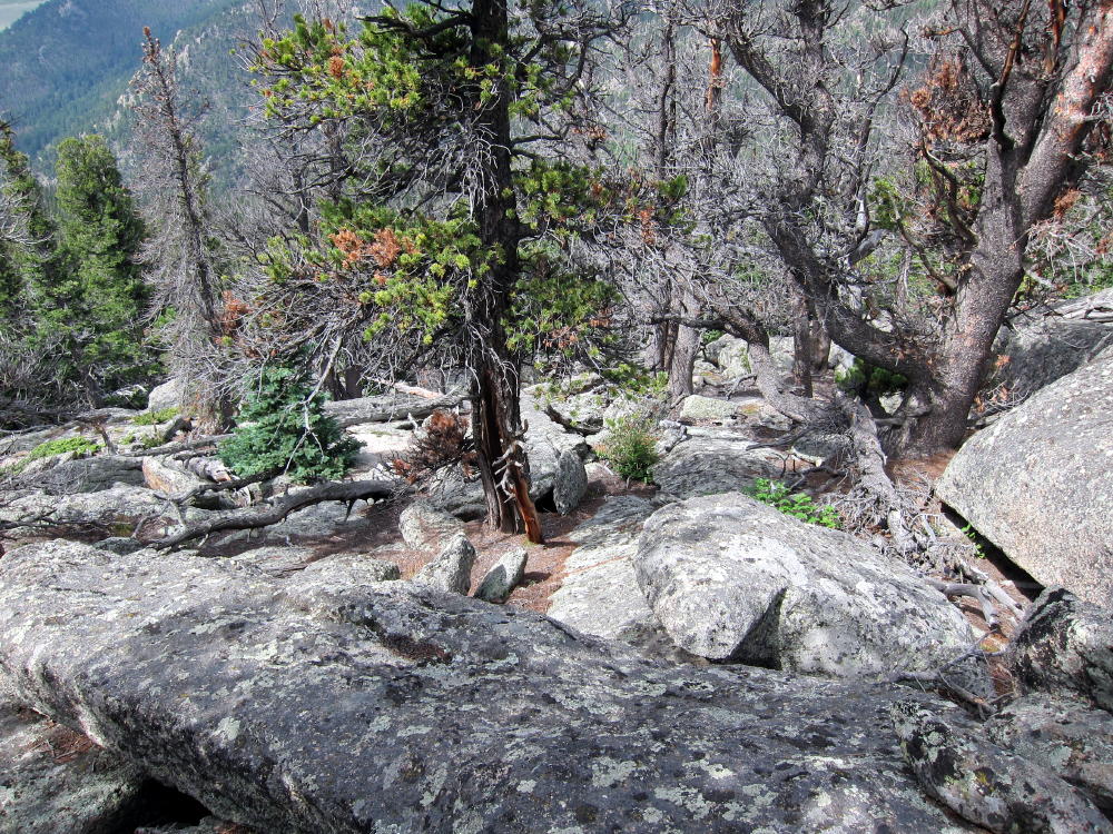
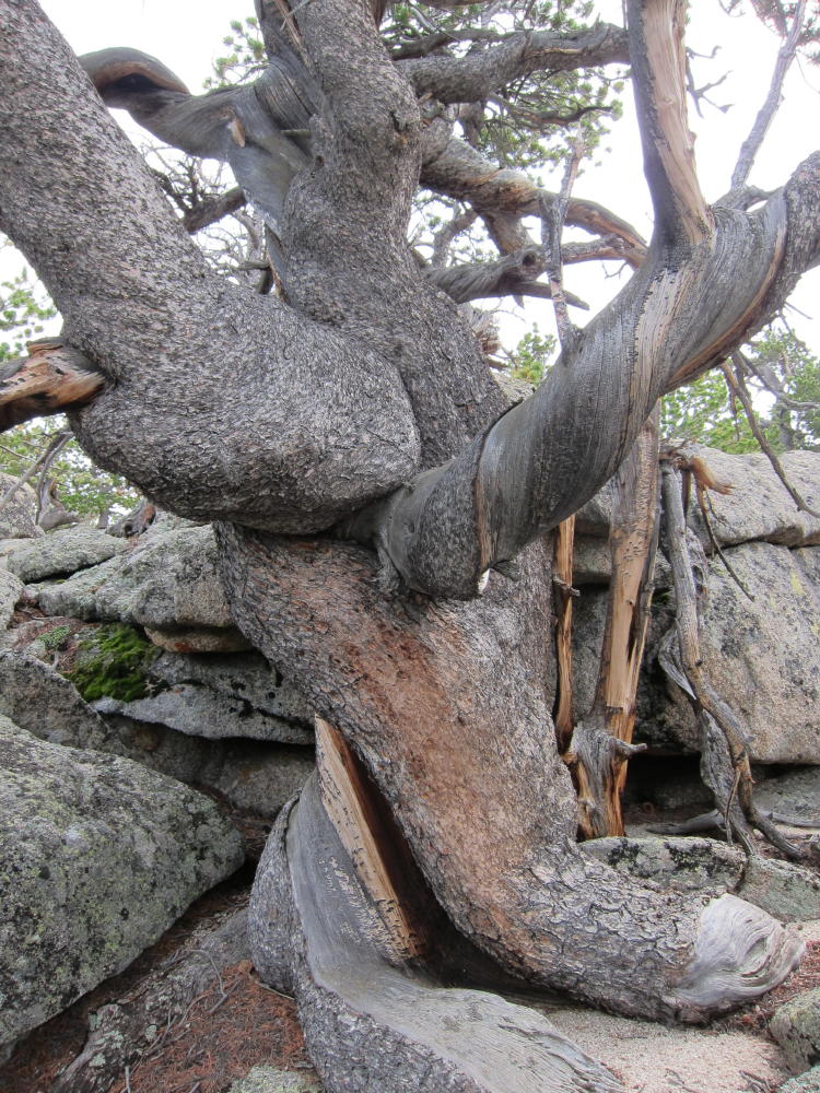
I climbed McGregor via the west ridge. There is no trail, and the route gradually gets steeper and more challenging as you climb higher. There are fallen trees, big rocks, and steep slopes, but most of the route is solid. There is a section of rocks requiring a bit of class 3 climbing, but on the descent I found that most the problems can be avoided by staying a slightly south on the ridge; the route is not technical. Toward the summit the route becomes really fun, as you pass through an amazing area filled with huge ancient twisted trees and granite formations. The top of the mountain is large and impressive – the awesome view looks half a mile down into the valleys to the south and east. To the northwest the high MummyRange summits tower at 13,500 feet, about 6 miles away. All of Lumpy Ridge and the Needles are close below and to the east.
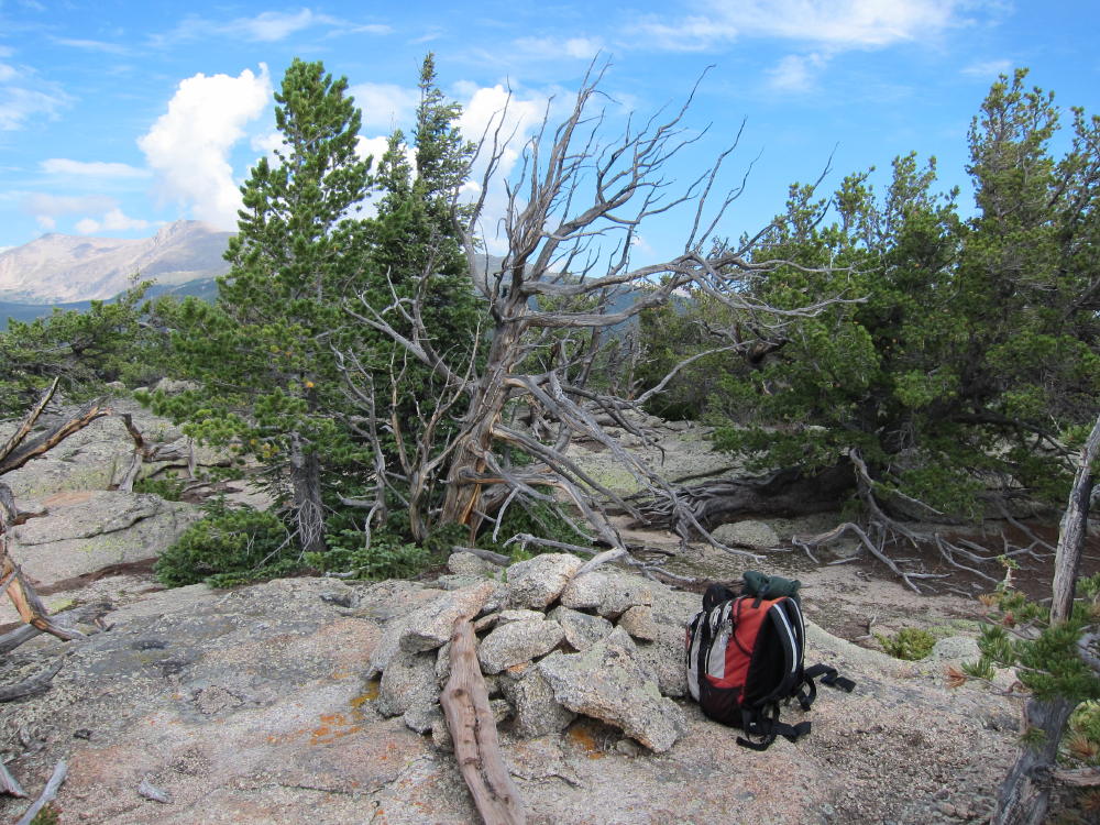
There are plenty of good spots for activating McGregor near the summit. There are good antenna trees, so it’s not necessary to take a pole up there. Various rocky knobs are available for shelter, and if the weather’s OK, it’s a great place to relax and get on the air.
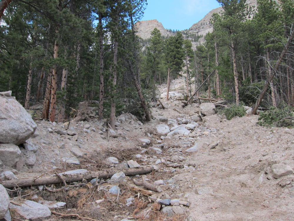
There are certainly other routes up McGregor. Trip reports online suggest going up the southeast side of the mountain, but any southern approach requires over 2000 vertical feet of steep bushwhacking and climbing. There may be routes up the SE side from Black Canyon Creek, but you’re on your own. In mid-September of 2013 torrential rains caused flooding throughout the area, and there’s an enormous mudslide path down a gulch on the SE side of McGregor. To climb McGregor’s SE ridge, a possible approach is from Black Canyon Creek. Since there’s no legal parking at MacGregor Ranch, hikers must park far to the east, at the GemLake – Lumpy Ridge trailhead.
I don’t recommend my gulch-and-bench route described above for activating McGregor. While it’s only a few miles, parts of it are very steep and/or covered with numerous fallen trees. The return trip requires precise navigation (GPS) in order to descend without peril into the gulch. Instead, I suggest:
Park at the Lumpy Ridge/Gem Lake TH north of Devils Gulch Road 43
Hike through MacGregor Ranch and past the Lumpy Ridge climbing formations north of the trail
Follow Black Canyon Creek Trail all the way up to 9100 feet and the junction with the Cow Creek Trail
Head west 2/3 mile through Black Canyon, down and then up to about 9040 feet, where the trail approaches the Creek
Cross Black Canyon Creek
Head south up the moderate forested valley, over 600 vertical feet to the saddle west of McGregor at about 9650 feet
Ascend the west ridge of MacGregor as in my description above
This is probably the safest and least stressful route up McGregor, even though it’s long. There should be no problems navigating, as long as you carry a topo map and compass – you don’t need GPS. Be sure you return down McGregor’s west ridge the same way you came up – an incorrect descent on McGregor might be somewhere between miserable and tragic. If you take a pump filter, there’s usually good water in Black Canyon. The hike through MacGregor Ranch and below Lumpy Ridge is spectacular, and you can see McGregor looming ahead all the way. Start early.
This mountain is nothing to mess with in bad weather – in particular, the lichens on the steep rocks get slick when they’re wet. If there’s ice or snow on the steep slopes, climbing may be too risky. Save this summit for a good day – McGregor is a classic!
George Carey Fuller
KX0R
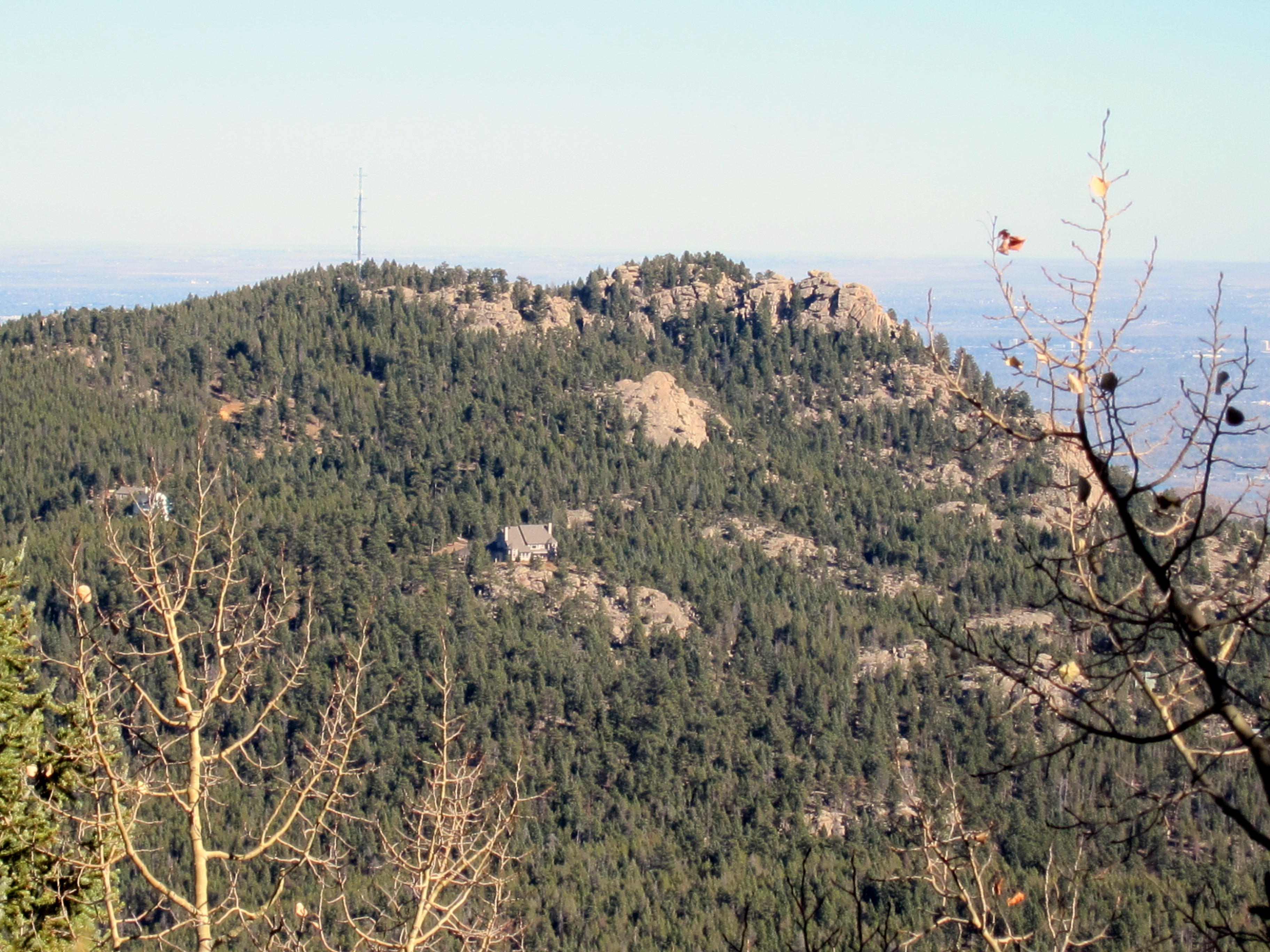
McGregor’s NW Side
Route down NW Side of McGregor
McGregor Route through Downed Trees
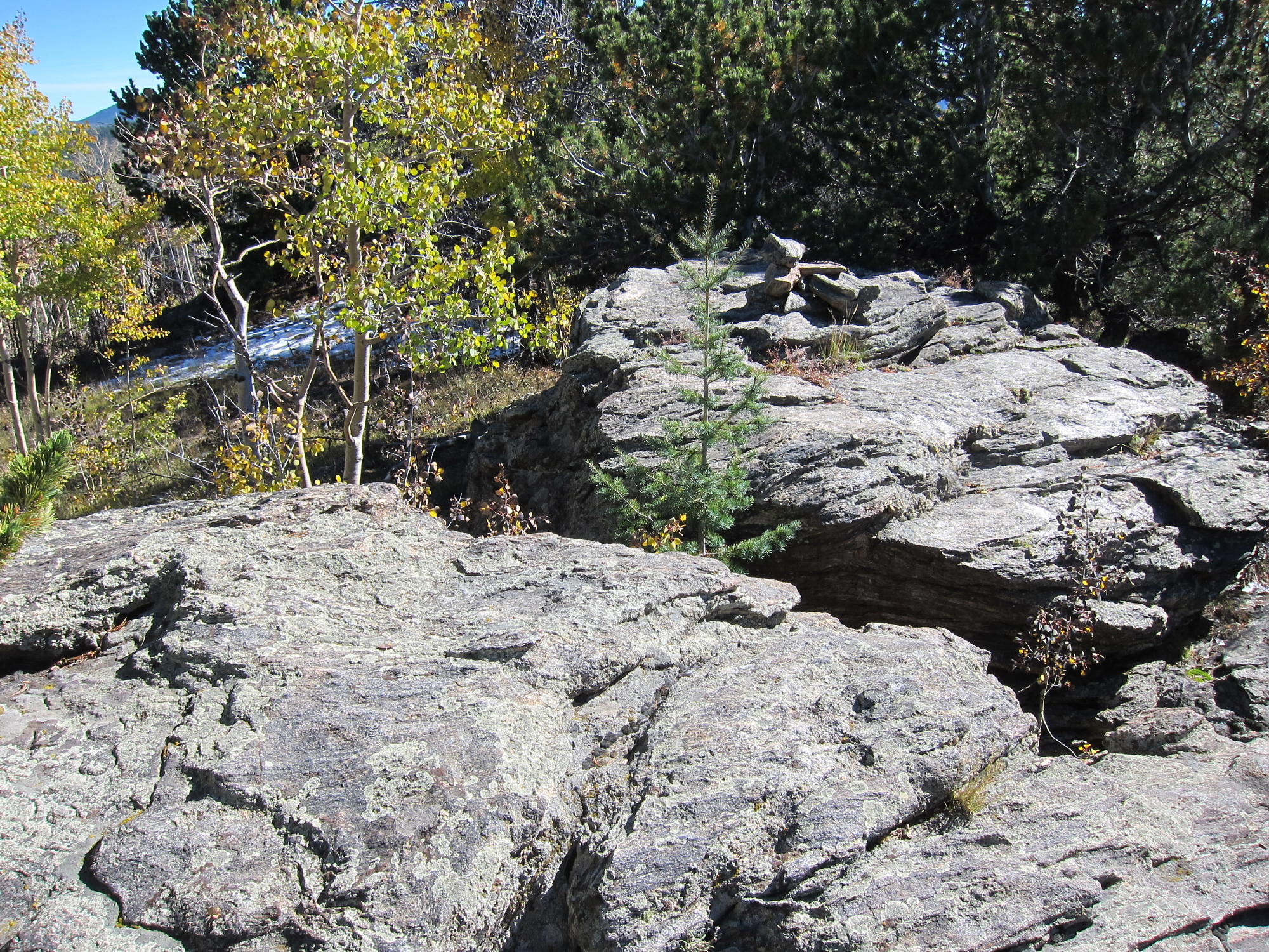
Summit Area
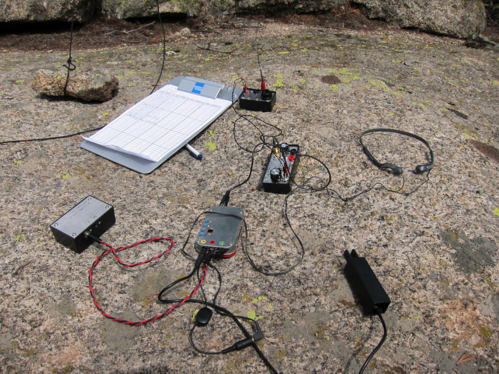
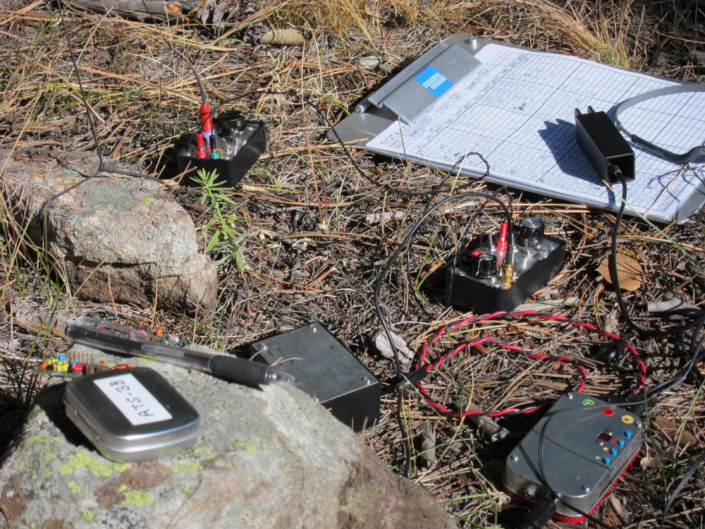
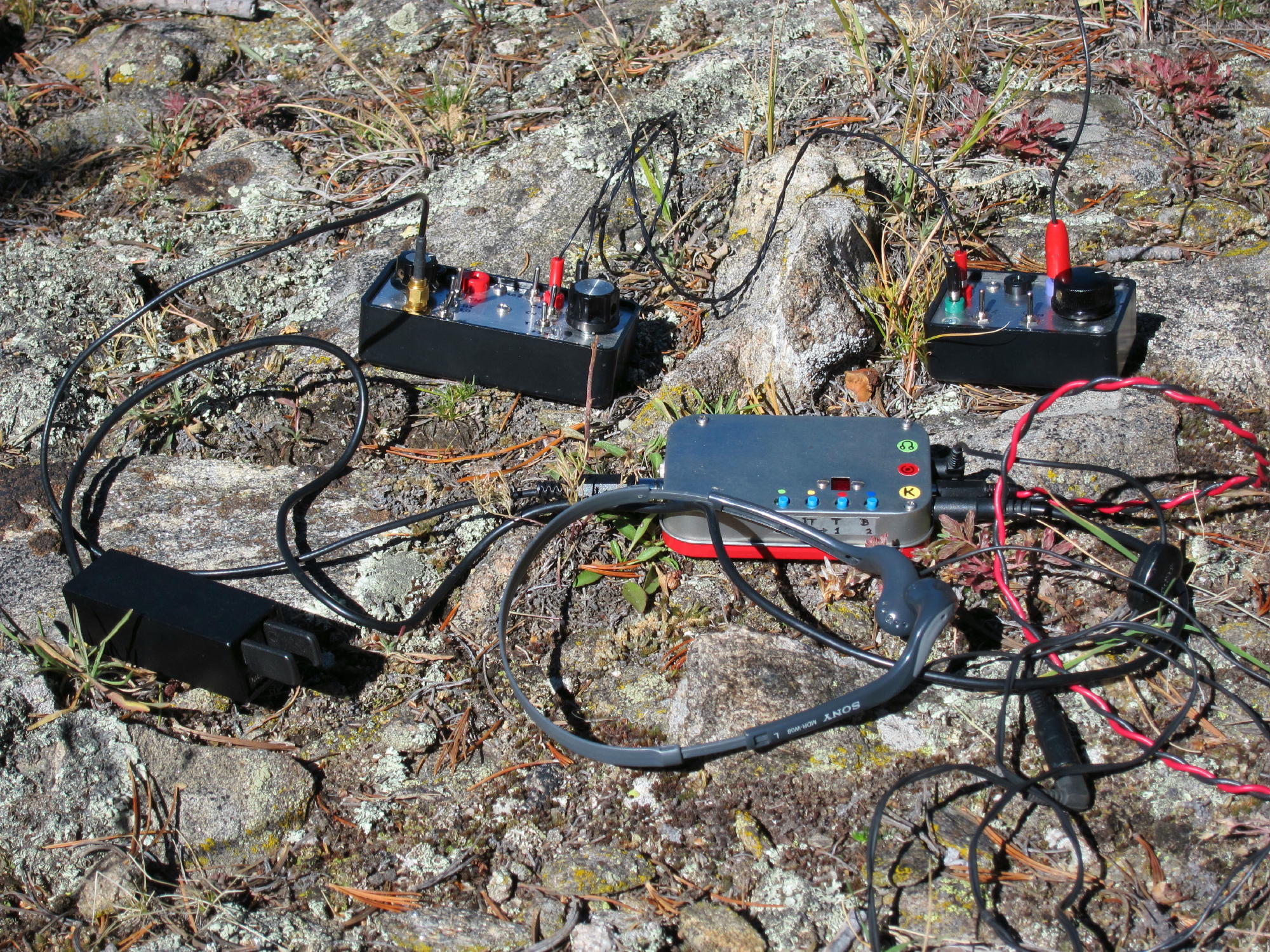
ATS-3B Rig and Tuners
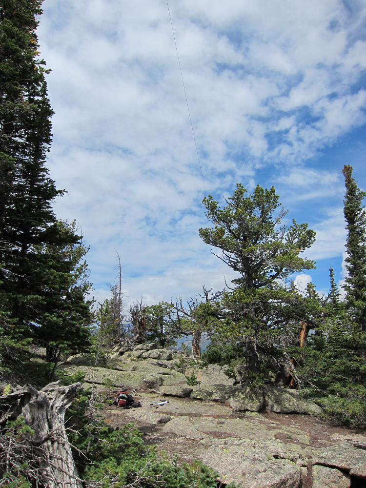
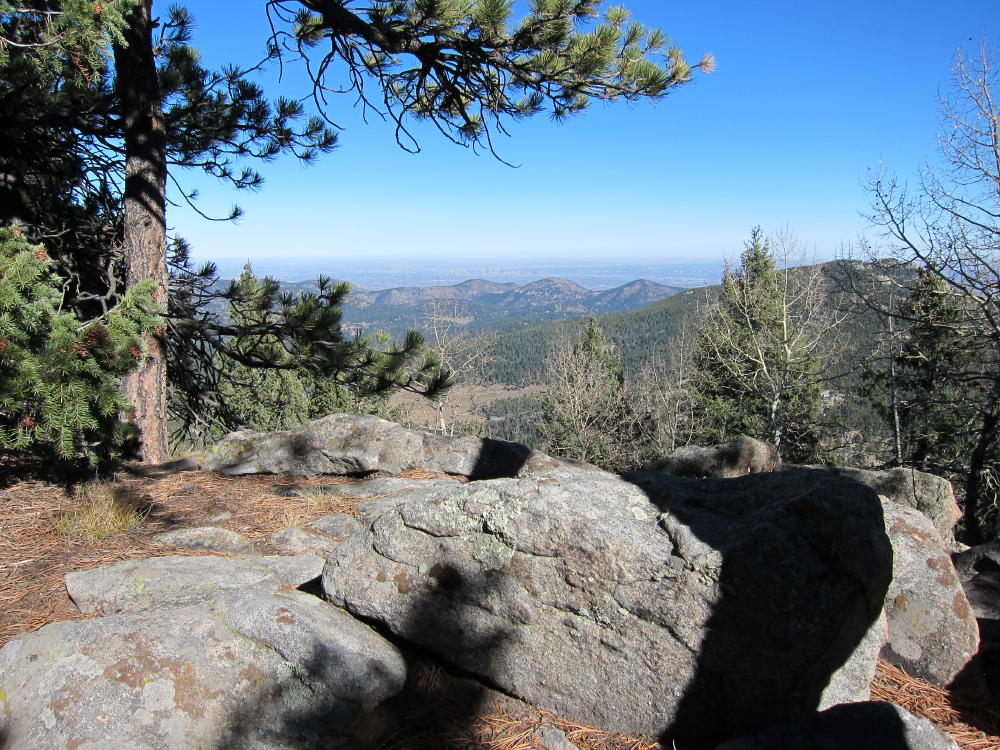
Activation Site with Antenna in Tree
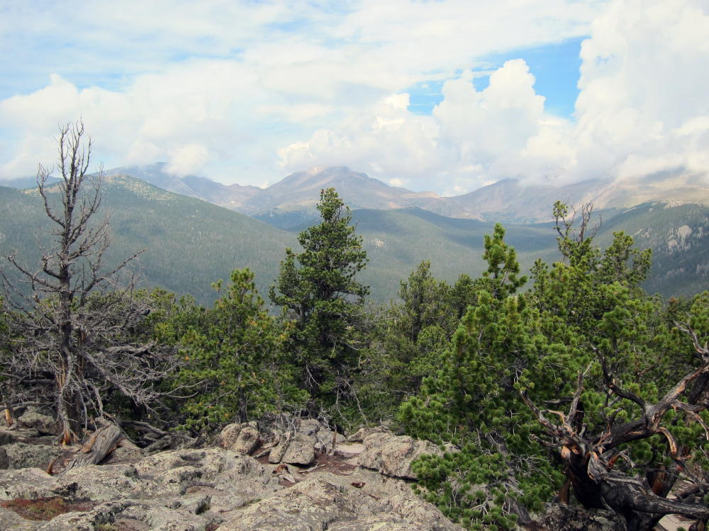
View of Mummy Range
Twisted Tree near Summit
!! WARNING !! There are old mountaineers, and
bold mountaineers… there are no old-bold mountaineers.
Hiking and mountain climbing are potentially hazardous activities particularly in Colorado with its extreme elevations. I am not accepting responsibility for any death or injury resulting from activations based on my trip reports. Proper training, experience, and personal capability assessment is required – enjoy!
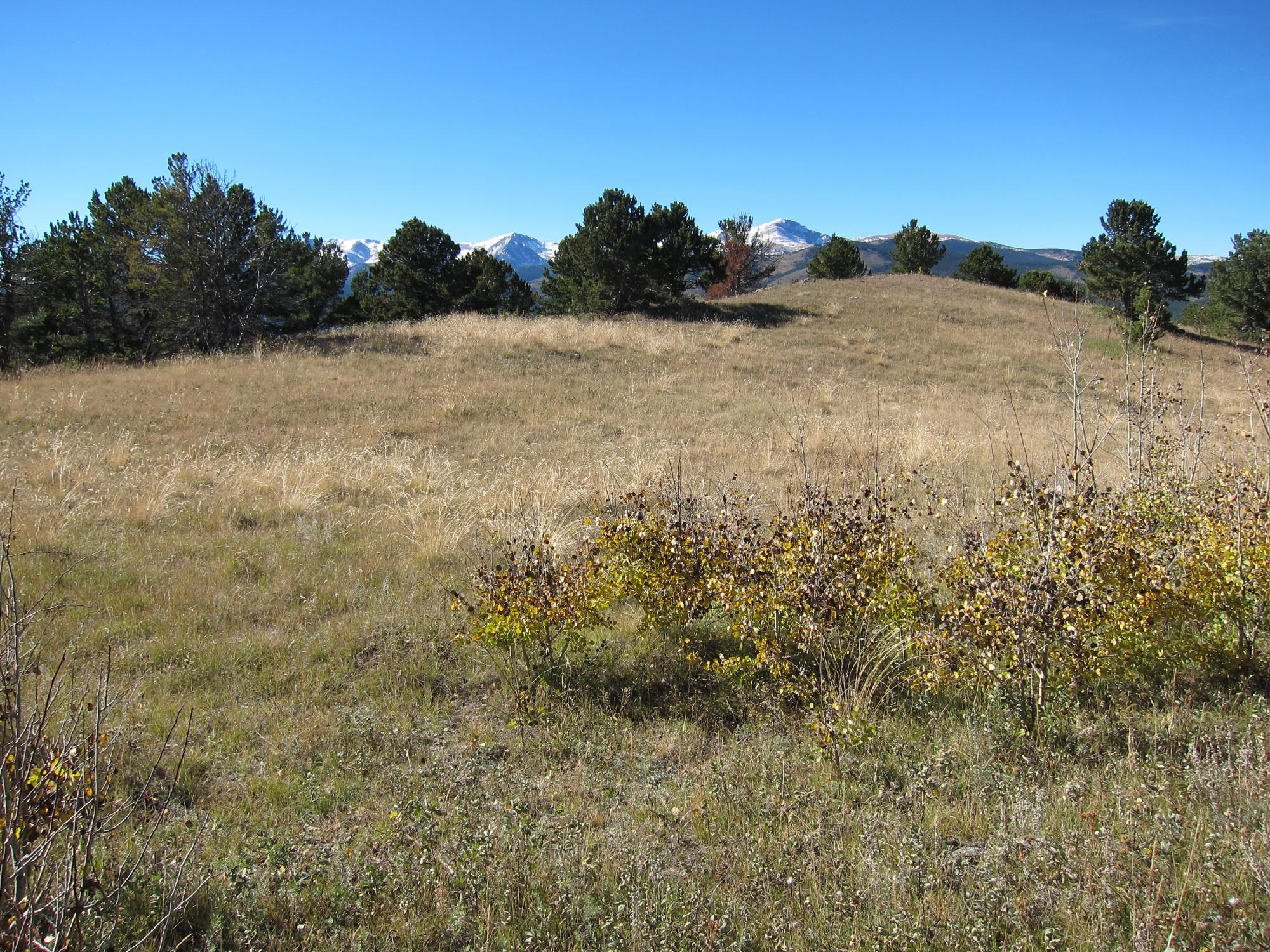
Dakota Hill is a good SOTA peak, but it’s not in the Dakotas; and at 10,929 feet, 3325M, it’s not really a hill. Activating this peak requires a little map-reading, some interesting driving, and a short hike.
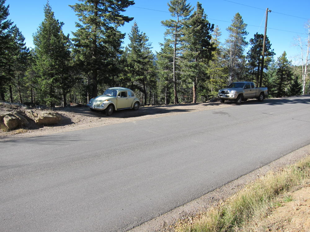
Drive to Black Hawk, head north on Highway 119 about 2-1/2 miles, and turn left on Apex Valley Road, Co Rd 4-S. Google maps show this route clearly. Follow Apex Valley Road several miles, and continue past the left turn for Elk Park Road – Mammoth Gulch Road. The road gradually gets rougher here, and you may wonder if you’re on the right track. Go north uphill on Co Rd 4-S, then up around a switch back – the road gets steep, and parts of it have been eroded by recent heavy rains. If you have an ordinary car, you should park before the road gets too rough. I was able to drive my old VW bug up to an old mine, where there are a couple of buildings. Parking is not prohibited – park well off the road. Above the mine the road is very rough, but if you have a 4WD vehicle you can drive a bit higher. From the mine you can hike directly up the slope 700 vertical feet to the summit. You also can hike or drive up the road, and then climb the NW ridge up to the summit. Either way this is a short SOTA hike.
There is a fenced microwave facility and towers on top of the mountain. The area is not posted, but obviously you should avoid the facility.
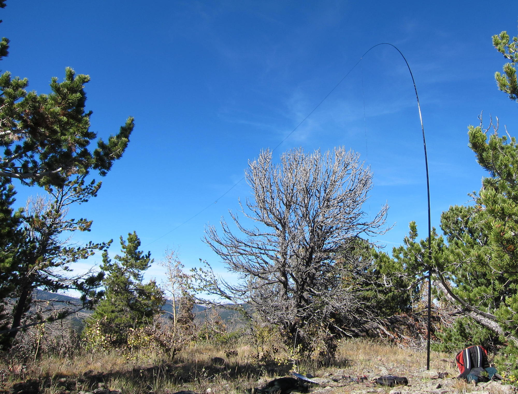
The Dakota Hill summit is wide and almost flat, so you can easily set up and operate several hundred feet east of the microwave site, while staying well within 75 vertical feet of the summit. The eastern part of the peak is a pleasant, sheltered forest. You are unlikely to see anyone up there. It’s easy to set up and activate. I experienced no interference from the microwave facility.
There is another 4WD route up the eastern side of Dakota Hill – I have no information about access via that route. The western access via Apex Valley Road seems like the best way up.
George Carey Fuller
KX0R
Dakota Hill View
Dakota Hill Facility
James Peak
KX0R Rig
Dakota Hill Activation
!! WARNING !! There are old mountaineers, and
bold mountaineers… there are no old-bold mountaineers.
Hiking and mountain climbing are potentially hazardous activities particularly in Colorado with its extreme elevations. I am not accepting responsibility for any death or injury resulting from activations based on my trip reports. Proper training, experience, and personal capability assessment is required – enjoy!
W0C/FR-060 Berrian Mountain 2783 M / 9147 FT
Nov 02, 2013 by KX0R
Berrian Mountain is almost a secret mountain. It’s very prominent north of Aspen Park near Highway 285, close to the Denver area, and it’s a fine SOTA peak. The summit and approach are owned by Denver Mountain Parks (DMP) and held as conservation property, so the peak is not developed. However, most of the land around the mountain is private, so access is tricky. Fortunately there is an unmarked trailhead with a small parking place along a public road on the northwest side of the peak.
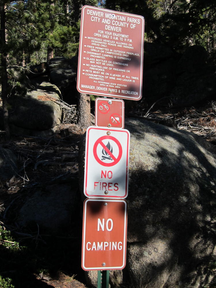
The trailhead is on Armadillo Trail road, about 1000 feet north of “Grand Summit Trail”. Look on Google maps for this. If you look at the satellite image, you can see the parking area on the west side of Armadillo. The DMP land extends all the way down to the road, and the land at the trailhead is posted “DMP”. There is an official sign for the trailhead up about 100 feet east of the road, but it’s hard to see from the road while driving. Please obey the rules posted on the sign to preserve public access. In particular, camping, fires, and bicycles are prohibited.
A trail heads up a small gully behind the DMP sign, and it leads to a massive fire-mitigation and deforestation project on the ridge above. The trail is hard to follow through the cut-down forest, but just keep heading uphill, following the ridge SSE, and eventually ascend into the uncut forest. The upper trail is distinct, and trees are marked with red and orange paint along the path. When you come to a large elevated rock formation below and northwest of the summit, climb up and have a look at the fine view. This nice spot is the primary destination for hikers and locals who enjoy their mountain.
From the rocks, head east about 50 feet, and then climb SSE up the ridge on a faint unmarked path until you come to the ridge-top. There are several rocky summits spaced along the ridge, all within a few vertical feet of each other. The northern summit is probably the actual peak, but it’s almost academic. The southernmost summit has a really fine view south, so be sure to go there and have a look down at Aspen Park, Highway 285, and across to several other peaks visible around the area.
The Berrian summit ridge is mostly flat and forested, and there are several nice sites to set up an antenna and operate. There are some sunny spots with shelter from wind, and the trees are high enough – over 40 feet – to be useful for supports. Few people visit the summit area, so it’s relatively private. This is a good SOTA peak for the fall – hunting is not allowed. The road is maintained, so winter access is probably good. The ascent route looks OK for snowshoes. It’s a little more than a mile up there, and about 1000 vertical feet.
Please treat this mountain, the trailhead, and other visitors with total respect so that access is preserved. Berrian Mountain is one of the best SOTA peaks near the greater Denver area; practice Leave No Trace if you visit this special place.
George Carey Fuller
KX0R
A few pictures:
Small Parking Area at Berrian Trailhead
Berrian Trail near the Rocks
View of Mount Evans from Berrian
Doublehead Mountain from Berrian Mountain
View East from Berrian
KX0R Radio Gear on Berrian
Berrian Mountain from Highway 285
Berrian Trailhead Sign and Rules
KX0R Antenna and Gear on Berrian
View NW from Berrian Rocks
!! WARNING !! There are old mountaineers, and
bold mountaineers… there are no old-bold mountaineers.
Hiking and mountain climbing are potentially hazardous activities particularly in Colorado with its extreme elevations. I am not accepting responsibility for any death or injury resulting from activations based on my trip reports. Proper training, experience, and personal capability assessment is required – enjoy!
The Needles are the highest points along Lumpy Ridge, an elongated mass of granite summits and cliffs located north of Estes Park, next to the McGregor Ranch. It takes considerable effort to activate the Needles, but it’s a rewarding expedition.
The most practical route up to the Needles starts at the Gem Lake Trailhead, located northeast of McGregor Ranch. Drive into Estes Park on route 34 or 36, follow the bypass (34) west past the Stanley Hotel on the hill, and turn right, north, on the Devils Gulch Road (43). Go north about 2/3 mile, pass the left turn to McGregor Ranch (where parking is no longer allowed), and drive northeast for about ½ mile on Road 43. Turn left on Lumpy Ridge Road and go north a short distance uphill to the marked Gem Lake Trailhead.
From the popular trailhead, start up the trail, and be careful to choose the route northwest to the Black Canyon Trail and McGregor Ranch – don’t go north up toward Gem Lake. The hike traverses the wide valley of McGregor Ranch and passes several climbing areas along the cliffs of Lumpy Ridge. After a couple of miles you’ll see the Needles high above. Below the Needles the route crosses an impressive mudslide path created during the September 2013 floods; this slide gushed down from near the Needles all the way to the valley floor. After the mudslide, the trail gains altitude steadily for about a mile, until it reaches a junction with the Cow Creek Trail. Turn right, go about 100 yards east to an obvious saddle, have some water, and head southeast up the northwest ridge of the Needles. Climb steadily up through the trees along the ridge until it gets craggy; then head slightly north of the ridge and continue climbing, while heading toward the summits. If you try to follow the ridge all the way it’s too craggy. Avoid the obvious NW summit – it’s a false summit. Stay on the left side of the ridge going up, north of the first summit, until you see the middle summit. The third summit, The Needle, may not be visible until you pass the middle summit. As before, stay left – north – of the middle summit until you come to the higher Needle right behind it.
If you have time, climb the middle summit – it’s a fun scramble up from the west end of its summit rock.
The third (actual) summit requires a bit of class 3 scrambling, and the peak is a very airy point. It feels as high as it appears from below! The views are spectacular in all directions. Estes Park and Lumpy Ridge lie below, prominent McGregor Mountain is close by, and Ypsilon and Fairchild are just a few miles away. This hike would be much more popular if there were a trail up to the Needles.
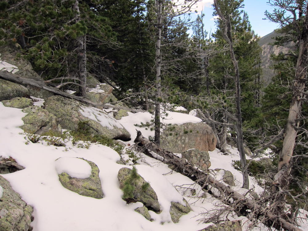
Please note that the final half mile of this climb is not recommended unless you have experience with off-trail hiking and navigation. From the developed trail at the saddle, there is no reliable path, and visibility is limited. The route gets progressively rougher, and there are many large rocks and fallen trees to climb over toward the top. When I climbed the Needles, there were a couple of inches of snow in the woods, and care was required to negotiate the slippery slope northeast of the ridge.
The dramatic summit area near the Needles can be very pleasant; I found a nice sunny spot with protection from wind right below the summit rock; this was a better place for my activation than the exposed summit. There are several small trees and useful rocks, and propagation is excellent in most directions.
Except for the off-trail part of this expedition, this is a scenic low-altitude Rocky Mountain National Park hike, with grand views and a variety of terrain. The total distance is about 10 miles, with a vertical gain of about 2500 feet. Trail use is light to moderate. This climb is not recommended unless weather and other conditions are right. On the right day, the Needle is a classic SOTA peak, offering a rich experience for the operator who enjoys activating high, isolated places.
A few pictures:
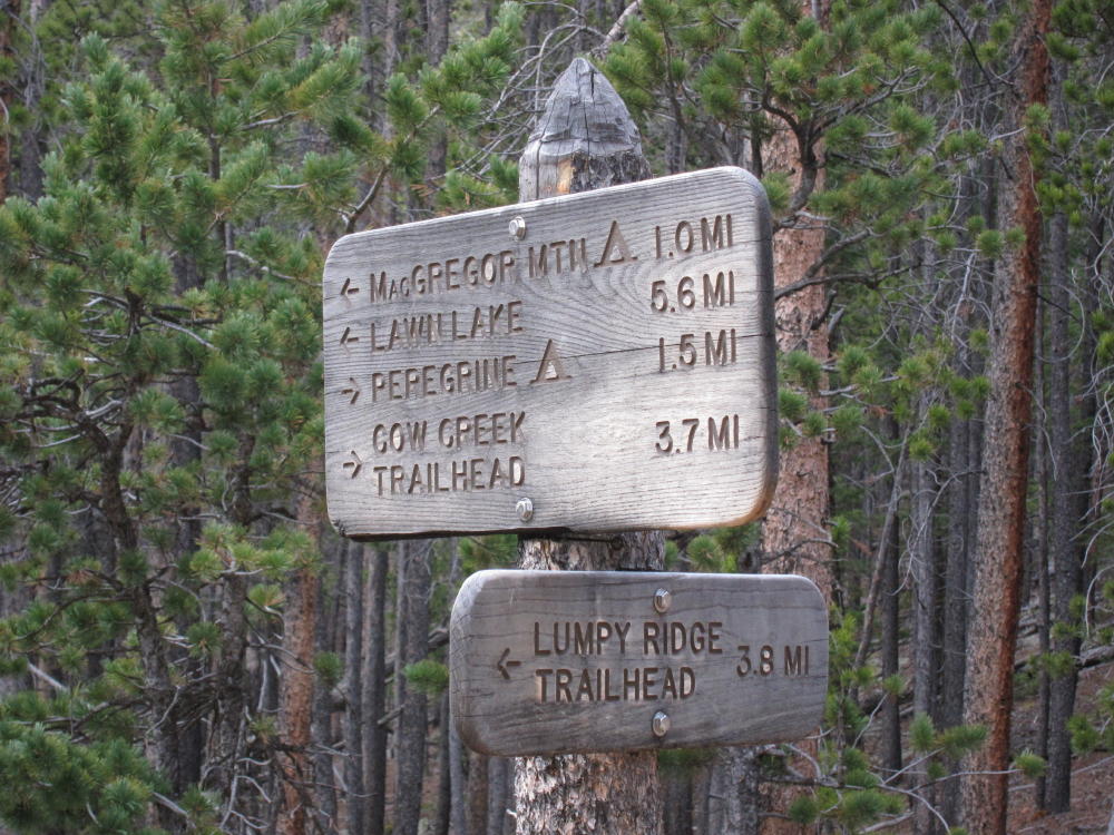
Trail Sign at the Junction West of the Saddle
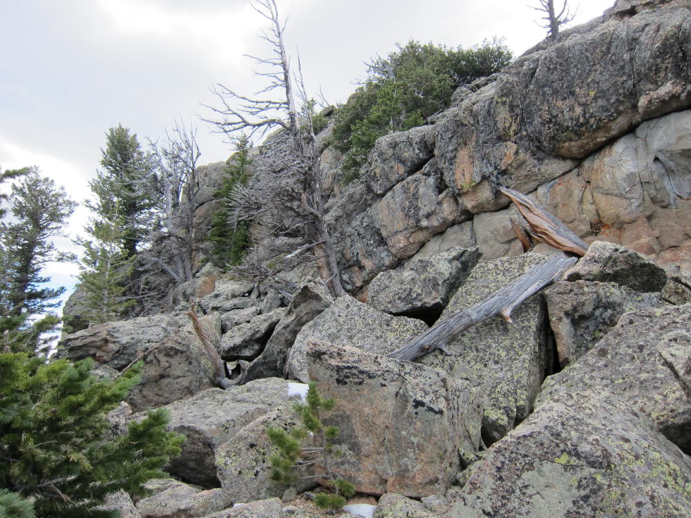
Route NW of the Summits Showing Challenges
NW Side of the Summit Rocks
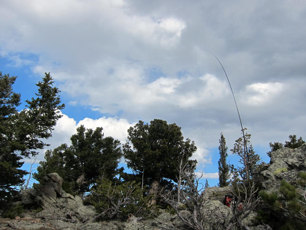
KX0R Activation of the Needles
ATS3B and Tuners
McGregor Mountain and Middle Needle from Summit
Exposed Summit of The Needle
Ypsilon and Fairchild from the Middle Needle
Middle Needle and Summit from Below
Mudslide at Trail Crossing below The Needles
George Carey Fuller
KX0R
!! WARNING !! There are old mountaineers, and
bold mountaineers… there are no old-bold mountaineers.
Hiking and mountain climbing are potentially hazardous activities particularly in Colorado with its extreme elevations. I am not accepting responsibility for any death or injury resulting from activations based on my trip reports. Proper training, experience, and personal capability assessment is required – enjoy!
W0C/PR-114 (Bald Mountain) 3040 M/ 9994 Ft
Central City Area
Oct 06, 2013
by KX0R
George Carey Fuller
Bald Mountain is a wonderful SOTA peak in the historic mining zone southwest of Central City. While it’s partly surrounded by private land, mines, and new homes, the summit is on National Forest land, and so is the hike and parking!
This is not obvious at first…
Drive to Central City and follow Main Street, which climbs and becomes the Nevadaville Road, west about 3 miles, until you reach a high point near 9500 feet. Turn right north on Co Rd 1N, go about 2000 feet to a junction, and turn left on Bald Mountain Lane. If you see Bald Mountain ROAD, do not follow that, it’s private, and they do not want you there! Bald Mountain LANE leads immediately to the Bald Mountain Cemetery, down on the right side, which has many historical graves and some spooky tales associated with the dead who are buried there. Google it for more info…
If you drive a little farther north from the cemetery, you will see USFS signs marking the forest boundary, and now you’re all set! Just go a bit farther, find a convenient parking spot on the east side, and park there, off the road. Cross the road and hike up the NE slope of the mountain on game trails – there is no marked route – just head straight up the slope through the forest. You’ll see the remains of old prospects here and there. It’s about 600 vertical feet and about 2/3 mile to the summit. If you go too far south, there is posted private land – but the NE route and the summit area is all in the National Forest.
The west summit is the high point – but the east summit is almost as high. There are lovely meadows surrounded by aspen trees all around the spacious top – this peak is colorful when the trees turn gold in the fall. The views are fabulous, right up to the Divide, and all around. Bald Mountain is a classic, and few people know about it or climb it.
You can set up and operate wherever you like within 75 vertical feet of the top. There are trees that could be used for an antenna – or bring a pole.
When you get down, it’s fun to drive around the Nevadaville – Russell Gulch area to see various old mines and buildings. The Virginia Canyon Road 279 provides an interesting alternative descent road down to Idaho Springs.
Some pictures (click onto the picture for a larger version):
Bald Mountain Summit
Bald Mountain Radio Gear, ATS-3B and Tuners
Bald Mountain Meadow
Bald Mountain Activation Setup – KX0R
Bald Mountain View West from Summit – Continental Divide
!! WARNING !! There are old mountaineers, and
bold mountaineers… there are no old-bold mountaineers.
Hiking and mountain climbing are potentially hazardous activities particularly in Colorado with its extreme elevations. I am not accepting responsibility for any death or injury resulting from activations based on my trip reports. Proper training, experience, and personal capability assessment is required – enjoy!
Fairburn Mountain is a convenient and pleasant SOTA peak with great access. The trailhead and parking are at Cold Springs Campground, about 1000 feet southwest of where Golden Gate Canyon Road 46 intersects Highway 119, near the major hilltop at about 9350 feet on 119. Park in the free lot just to the right of the forest road – do not enter the campground.
There is no developed trail up Fairburn, but there’s a path with some cairns most of the way up the south ridge. The ascent from the parking lot to the SE summit is 1000 vertical feet in about 1 mile – it’s a pleasant hike up through aspens and evergreens. Unfortunately the SE summit at 10,360 feet is a false summit. The actual SOTA peak at 10390 feet, 3161M, is almost ½ mile to the northwest along the forested ridge. Fortunately there’s little loss of altitude between the summits, but you have to pick your way through some fallen trees, rocks, and other minor obstacles – there is no real trail. Few people visit the real summit. There are numerous places to set up and operate within 75 vertical feet of the top, and good trees for antenna supports are available.
This summit offers the possibility of camping for an overnight outing, and winter access seems likely as well.
It might be possible to access this peak from the Missouri Gulch Road Co Rd 51-S to the west, via the NW ridge of Fairburn, with less ascent and a shorter hike; but I have no information on whether that route is practical.
Fairburn Mountain provides a good SOTA outing with a moderate amount of effort required. Its proximity to the Denver-Boulder area should make it more popular for SOTA activations.
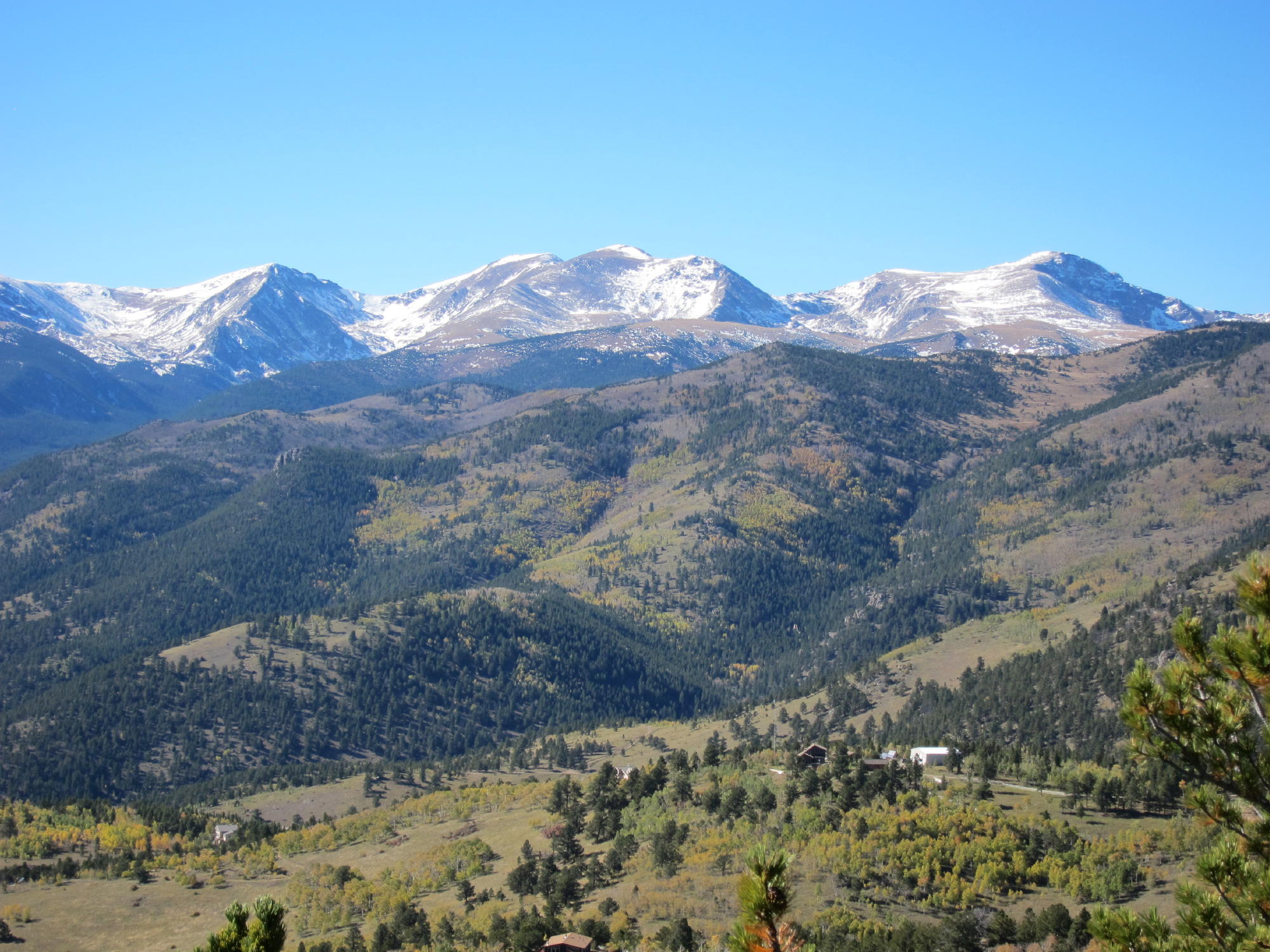
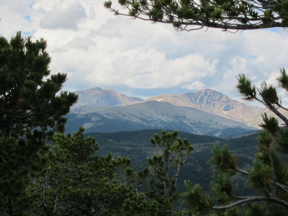
Fairburn View to James Peak and Continental DivideFairburn Southeast Summit Area
!! WARNING !! There are old mountaineers, and
bold mountaineers… there are no old-bold mountaineers.
Hiking and mountain climbing are potentially hazardous activities particularly in Colorado with its extreme elevations. I am not accepting responsibility for any death or injury resulting from activations based on my trip reports. Proper training, experience, and personal capability assessment is required – enjoy!
Black Mountain is a very prominent summit located adjacent to Staunton State Park, several miles west of Connifer, CO. Because of its proximity to the Denver metro area, it could become more popular as a SOTA site. This mountain presents significant physical and navigational challenges; the ascent is about 5 miles and 2500 vertical feet from the parking lot; and more than half of that climb is up through rocky, heavily forested slopes with limited visibility. You’ll be lucky if you see the top part of the mountain before you’re on top. Your success depends on your physical conditioning and how well you’ve studied the topo map before you try the climb.
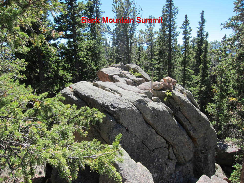
As far as I know, there are no trails up the peak; nevertheless, a few people occasionally get up there. On the SW summit at point 10756, marked with an X on the USGS 7-1/2 minute quad, there’s a summit register consisting of a jar with a small notebook inside, and some people have signed their names! A cairn marks the top of the highest rock.
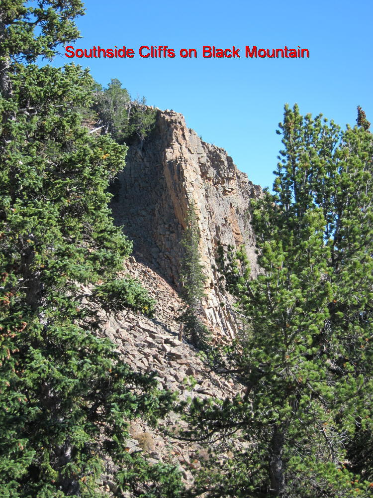
Here’s what you need to know to get up there. To get to Staunton State Park, drive 6 miles SW of Conifer on Route 285 and turn right at Shaffers Crossing – a sign to the Park marks the exit. Drive 1-1/2 miles north and enter the Park. Show your pass or buy a day pass for $7. You’ll get you money’s worth. Be sure to get a visitor map showing the trails and topography. Park at the upper group picnic area if possible – otherwise park in the main lot. There are several possible routes up to the top – I chose to climb via the major ridge SW of the peak. Find the Staunton Ranch (SR) trail at the parking lot and follow it north and then northwest, for about 3 miles, enjoying the fine Western scenery, until you come to the intersection with the Border Line (BL) trail. This spot is in a large clearing, with thick forest and higher terrain just to the north. Don’t follow the BL trail, or the nearby Marmot Passage (MP) trails. Look north to the forest, spot the USFS boundary markers and signs, and head directly north into the woods. Although off-trail hiking is not allowed in the State Park, it’s a very short distance from the SR and BL trails to the federal land, where hiking off-trail is OK. The map in the Park brochure shows this boundary clearly. To be perfectly legal, proceed a short distance NW up the Bugling Elk (BE) trail, cross into the USFS land, and then head NE up into the woods. Once on federal land, proceed north uphill into the obvious gulch leading up to the saddle just east of point 9715. There is a good game trail about 50 to 100 feet east of the creek gully – the route to the saddle is easier if you find this game trail. It looks like there are plenty of deer and elk up there. From the saddle turn right, hike NE up the ridge, and reach another saddle at 9800 feet. I found bear poop there. Pick a route NE and climb up a steeper section to about 10200 feet, and then hike more gently toward the next saddle near 10400. Stay left (west) of cliffs located to the east. As you approach the saddle at 10400, stay about 50 to 100 yards west of the actual saddle and climb up the SW slopes of Black Mountain. Stay left, north of talus and cliffs south of the summit. Although there is no trail, you can find a natural steep route all the way up, through a mix of boulders, trees, logs, and pine needles. You want to end up just south of summit 10756. The actual summit is marked by a cairn on top of some large boulders. Most of the top of Black Mountain is a long, rocky, heavily forested ridge curving around north and then east. If you climb the east side of the mountain, you’ll have to traverse this entire ridge to get to the actual summit near the SW end. There is a nice little flat clearing, with convenient tall trees and rocks, about 50 to 100 feet north of the summit rocks. The view is limited but stunning. This is a great place to do SOTA – you don’t need a pole if you have a way to get a rope up in a tree. I put up a 66-foot inverted L at 25 feet with no problem. It would be possible to erect a 40 meter dipole up there. This looks like a good VHF/UHF site, with excellent coverage of local mountains, and fair coverage of the eastern plains. I suggest you descend the same way you came up. A GPS device makes it easy to backtrack. The key point is to avoid going down the south side of Black Mountain, which is mostly steep slopes and cliffs. If you find another good route up, please write it up and post it here.
Please don’t try this climb unless you have a topo map, good map-and-compass skills, and plenty of off-trail hiking experience; a GPS device may save you time by preventing mistakes, provided you know what you’re doing without it. This trip is best done in spring or fall, and in good weather. Take plenty of water, start early, and allow enough time. Tell someone where you’re going. Please read and respect Park rules, and remember that the hours are 8 AM to 8PM.
Some pictures (click on the picture for a larger version):
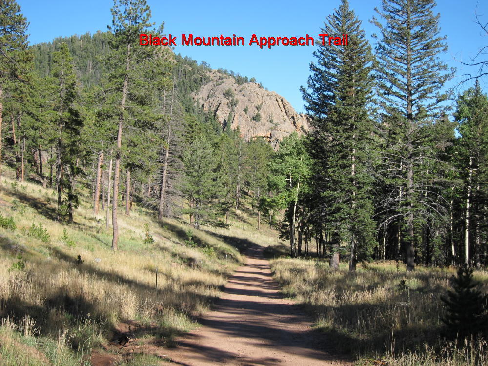
Staunton State Park Trail below Black Mountain
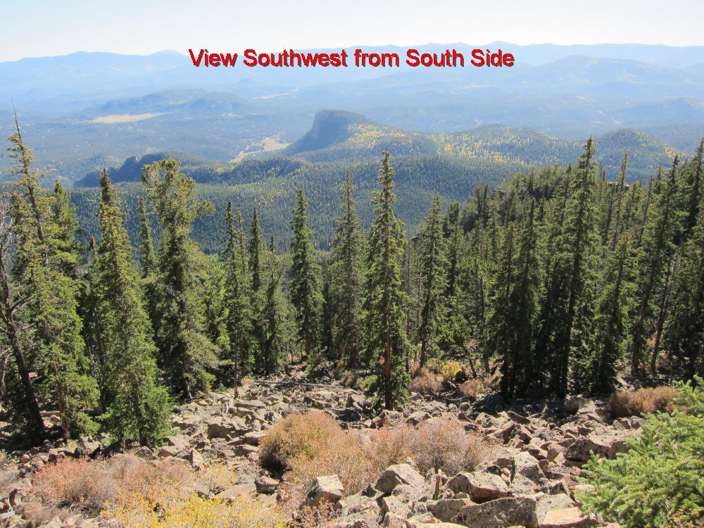
View SW from South Side
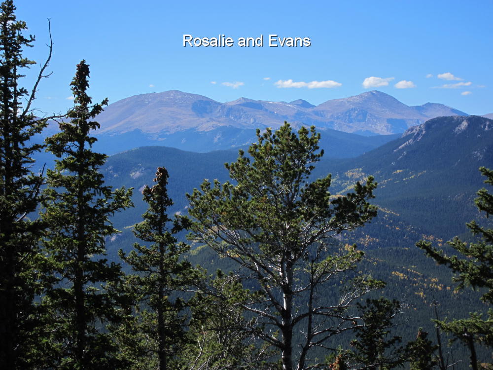
Rosalie and Evans
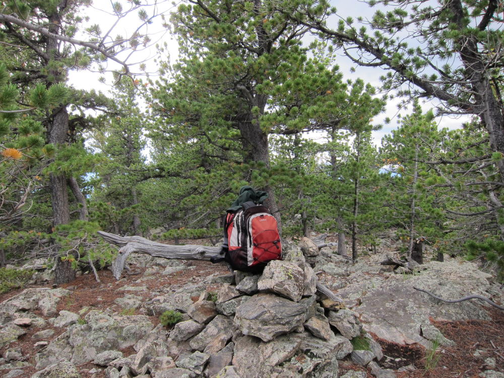
Black Mountain Summit
South Side Cliffs – Black Mountain
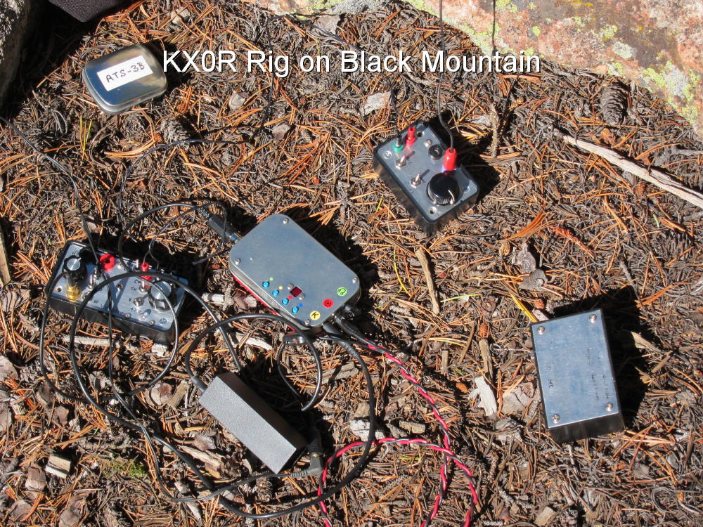
KX0R Activation Rig
George Carey Fuller
KX0R
!! WARNING !! There are old mountaineers, and
bold mountaineers… there are no old-bold mountaineers.
Hiking and mountain climbing are potentially hazardous activities particularly in Colorado with its extreme elevations. I am not accepting responsibility for any death or injury resulting from activations based on my trip reports. Proper training, experience, and personal capability assessment is required – enjoy!
I just wrapped up a trip in Europe and I could not resist to activate a few summits while I had the chance. Staying in Austria (OE), I was able to activate two nearby and new (for me) associations (HBØ and HB). I also took the opportunity to make a second attempt on HBØ/LI-ØØ4 – Augstenberg. This summit eluded me last year due to extreme winds in excess of 100 km/h (60 mph). We had to turn around shortly before reaching the summit. This time the WX forecast looked more promising.
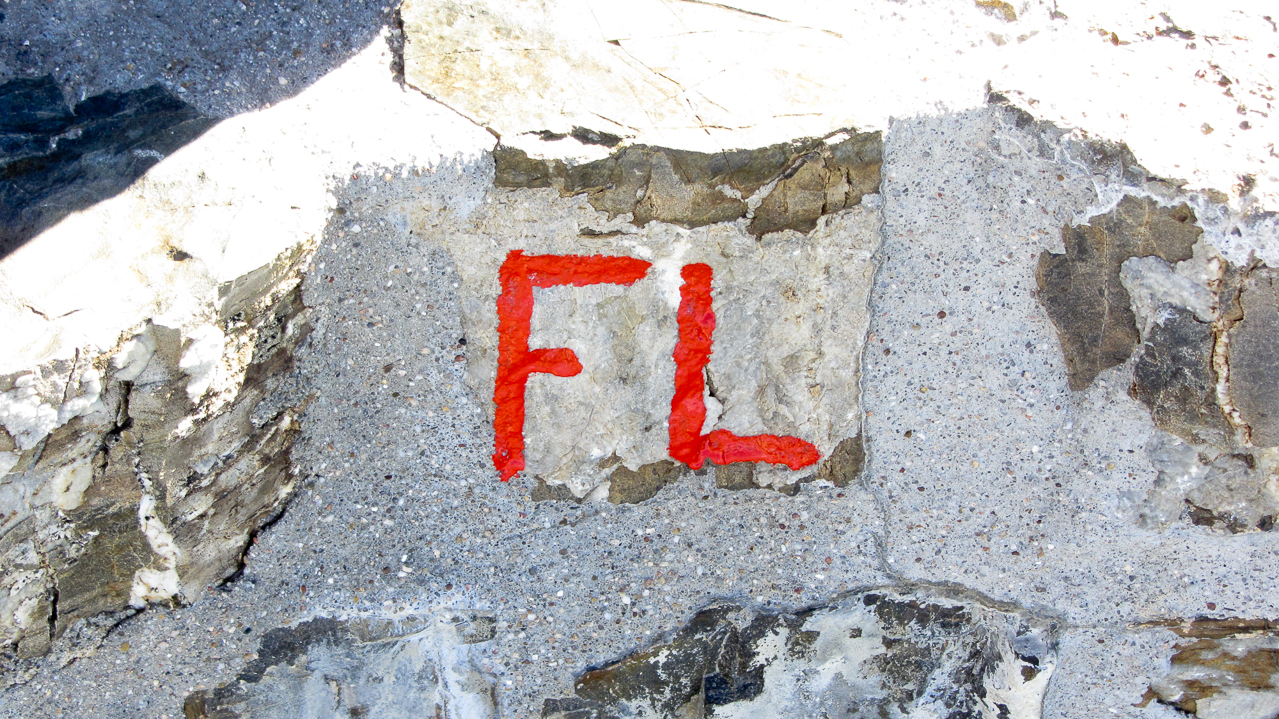
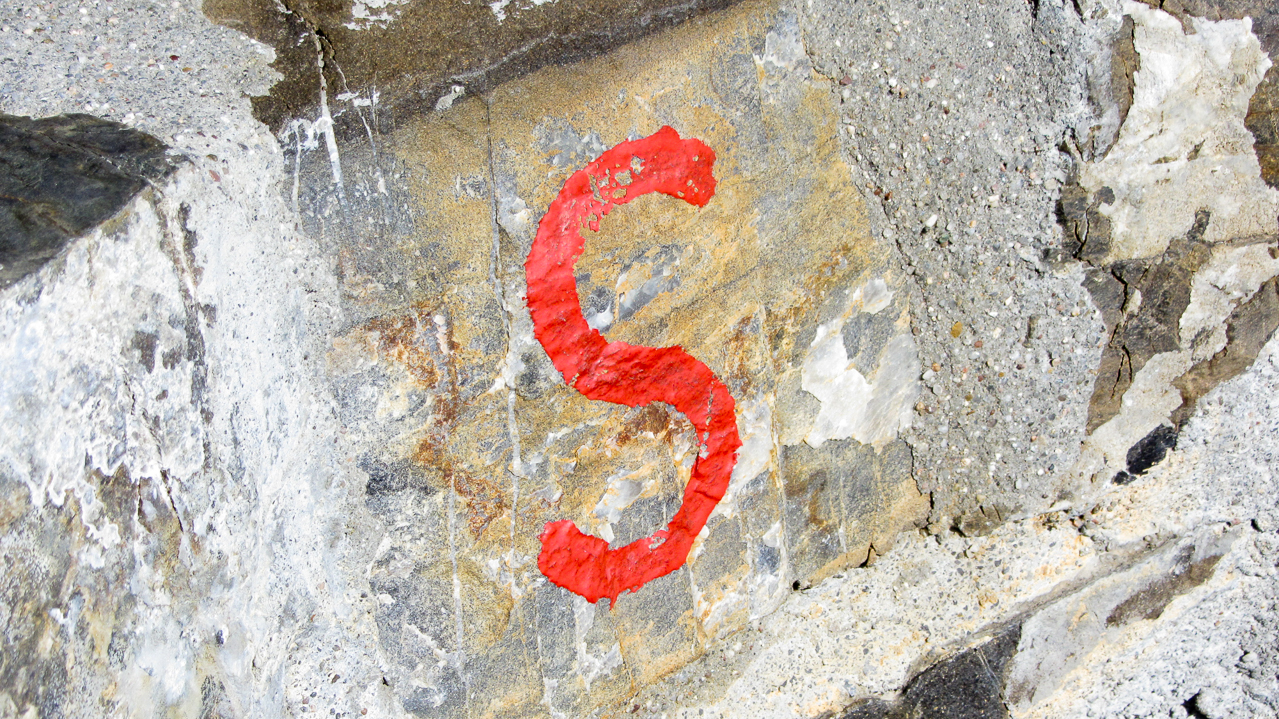
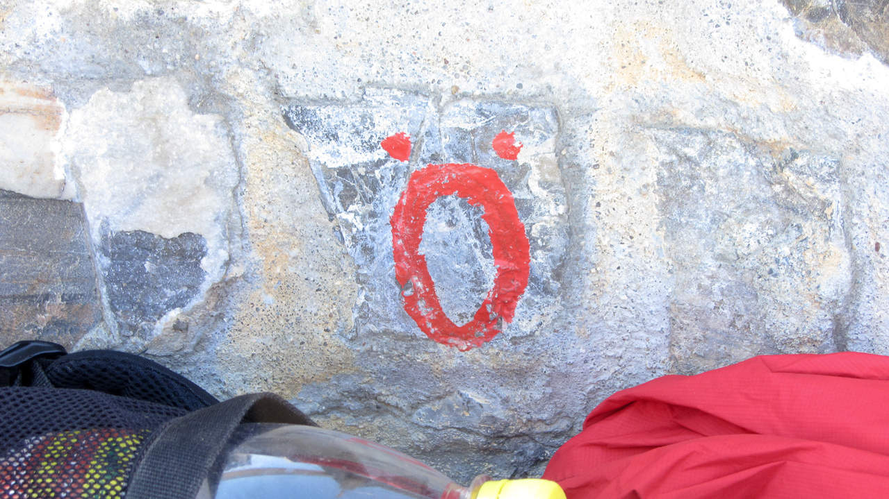
As usual, Herbert/OE9HRV organized the activations when I visit his neck of the woods. Arno/OE9AMJ and Ramon/OE9CSH joined the activation and what these guys had in store for me was quite a trip. Weather and time permitting they were planning to continue on a loop with the possibility to activate three more summits for a total of four. The best part… HBØ/LI-ØØ2 or Naafkopf was one of them. This unique SOTA summit is a rare gem. The border of three countries, Lichtenstein (HBØ), Switzerland (HB) and Austria (OE) meet exactly at the summit and it is therefore worth 30 SOTA points in total. I am not aware of any other SOTA summit which has a similar setting.
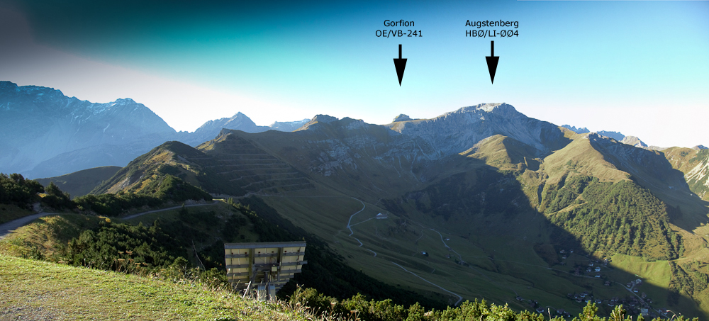
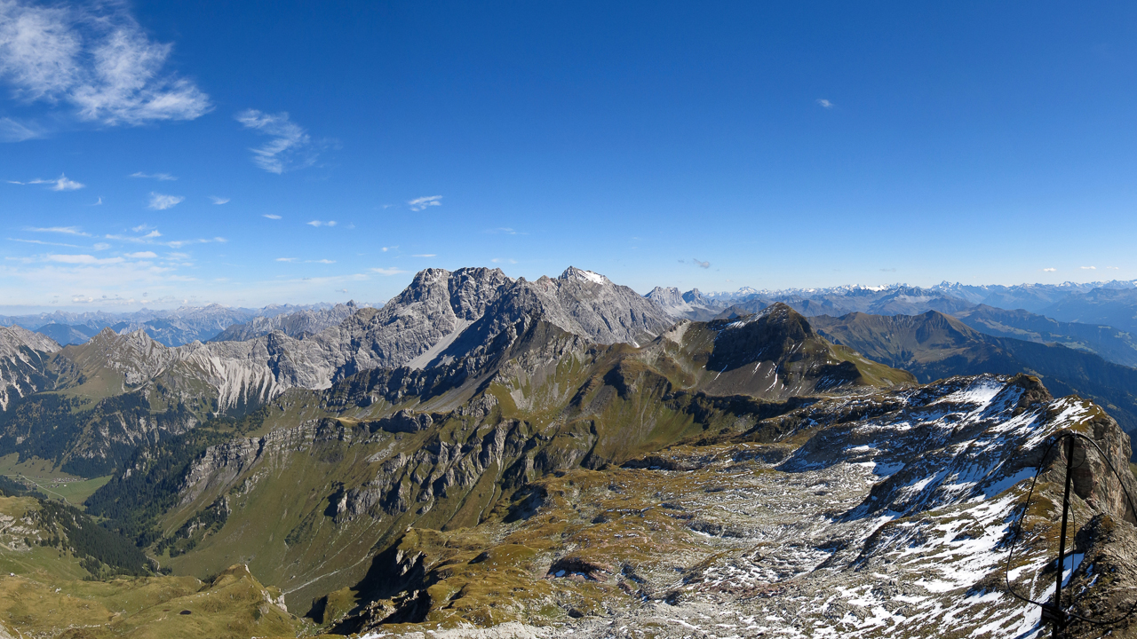
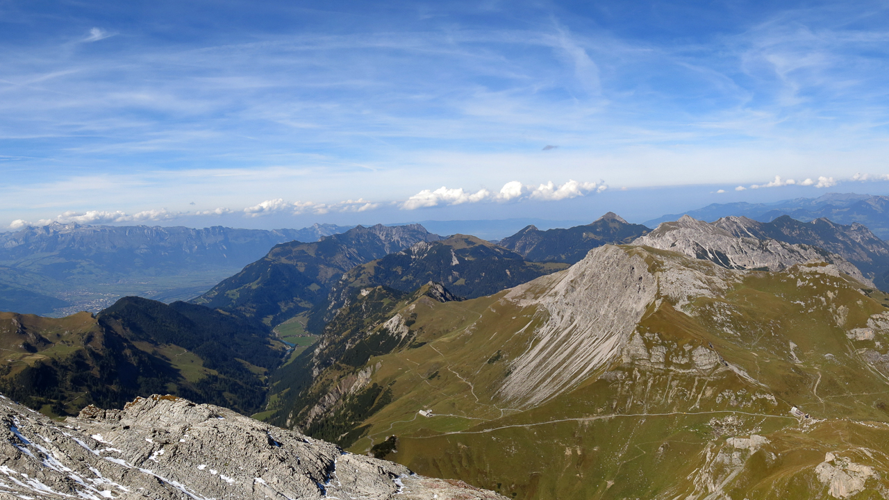
Panorama from the summit station
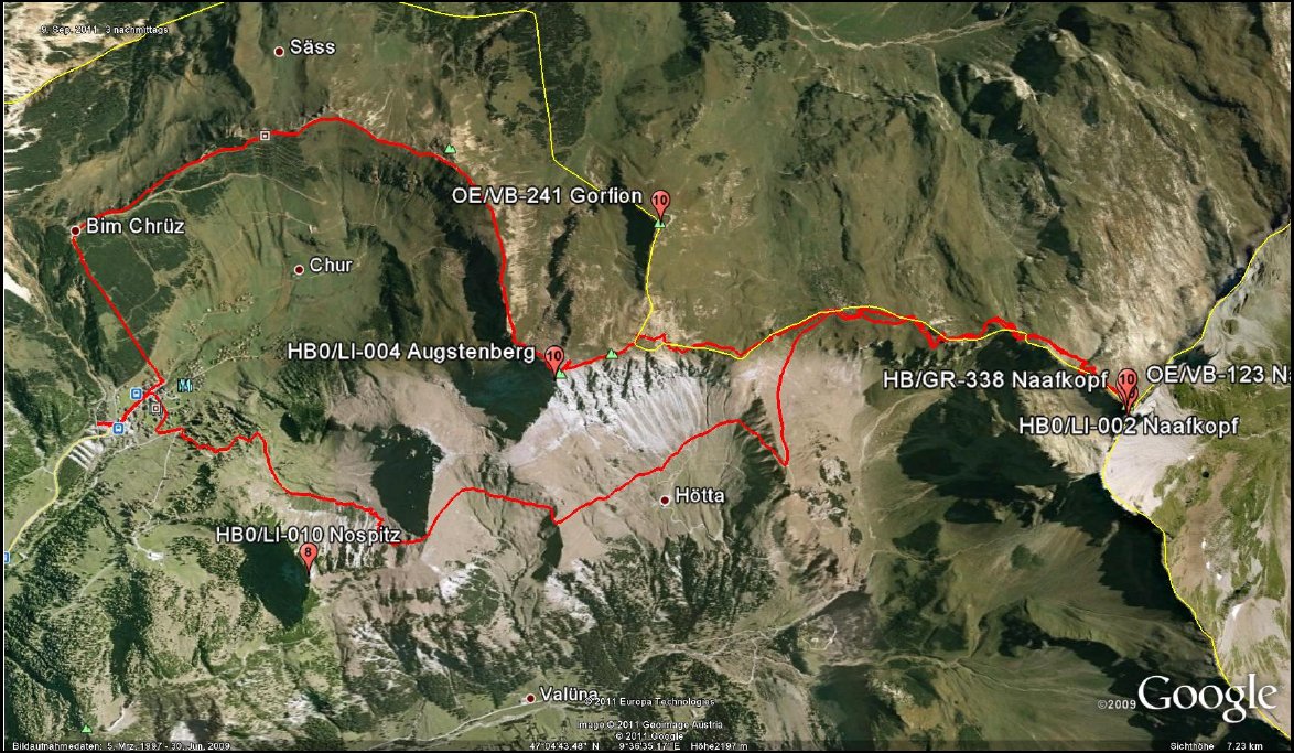
The complete trip could potentially rake in a total of 58 points on a ~20 km (12.5 mi) loop with 1700+ m (~5600 ft) elevation gain including two new associations for my log. Needless to say that I was motivated :)
This trip report is focused on the Naafkopf only.
The route we took in red
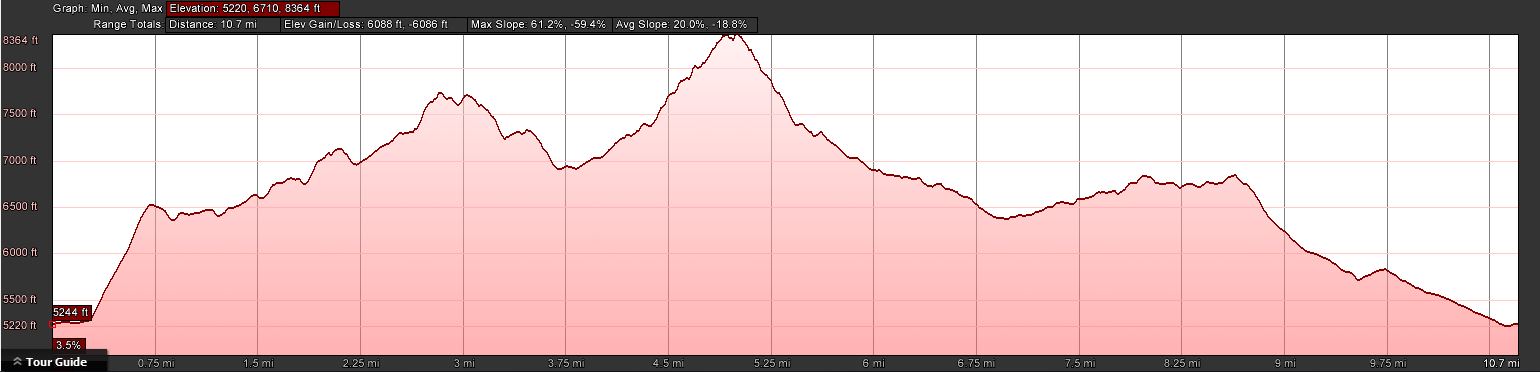
 Trailhead:  5243 ft / 1598 m
 Summit:     7740 ft / 2359 m (Augstenberg)
             8432 ft / 2570 m (Naafkopf)
             6860 ft / 2091 m (Nospitz)
 Elev. gain: 4832 ft / 1473 m (exludes gondola - hiking only)
 Roundtrip:  10.2 mi / 16.4 km(exludes gondola - hiking only)
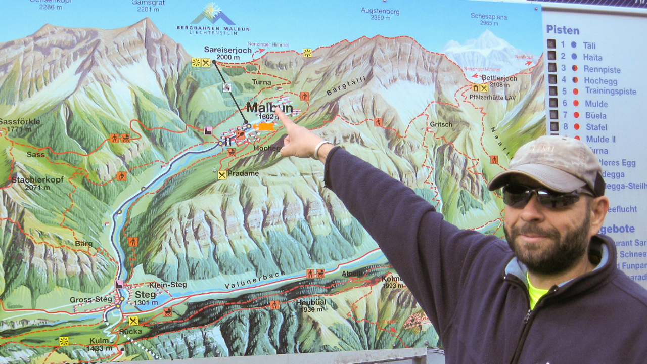
We headed south from OE towards the Principality of Liechtenstein (or Liechtenstein for short.) Liechtenstein is a rather small independent country near the Lake of Constance and shares the border with Switzerland and Austria. With an area of just over 160 square kilometers (62 sq mi), it has a population of ~35’000 and a total of eleven SOTA summits – all of them already activated. We started our hike in Malbun, the only ski resort in Lichtenstein.
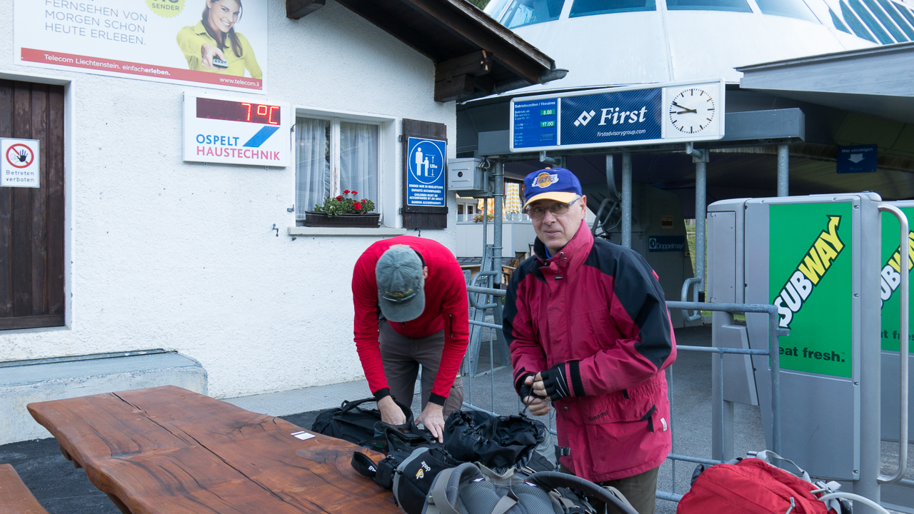
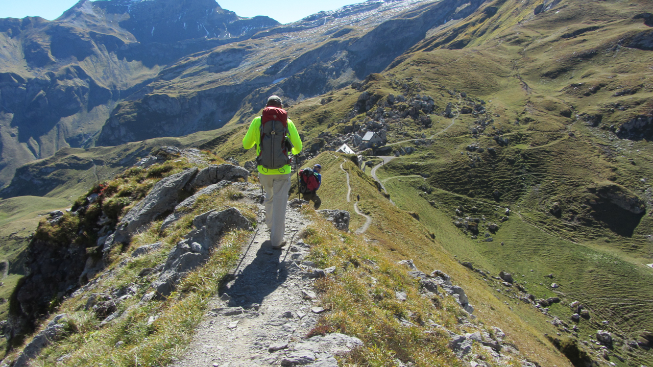
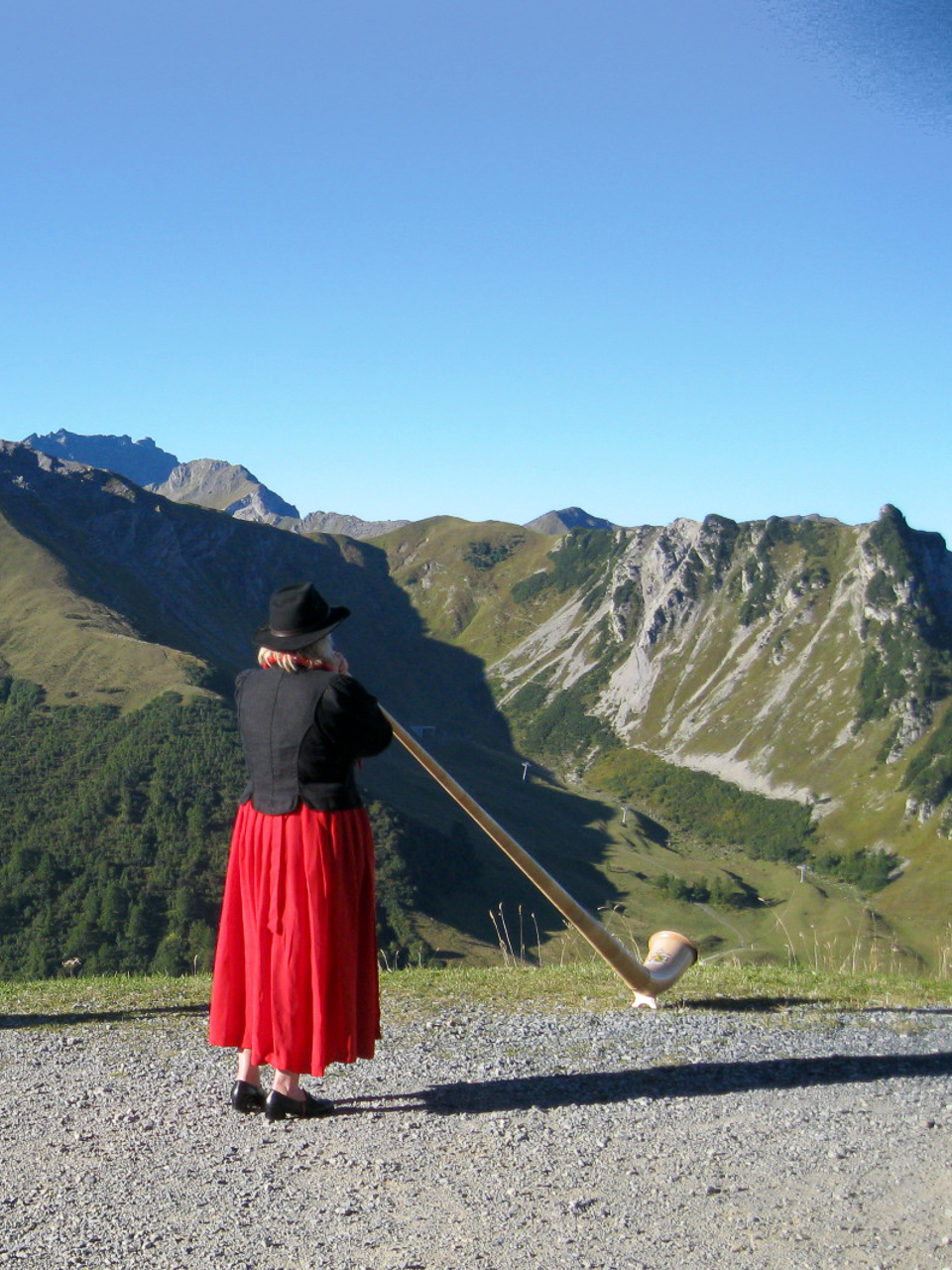
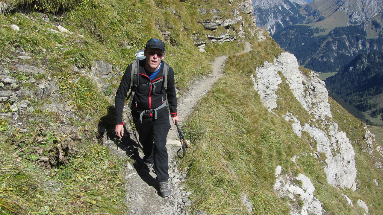
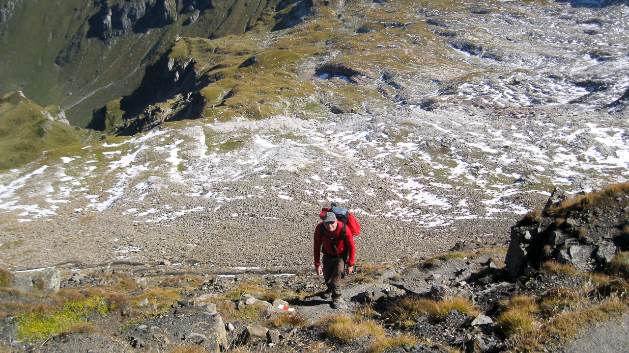
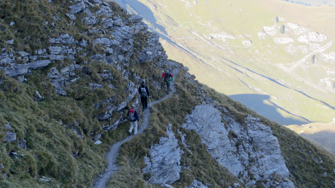
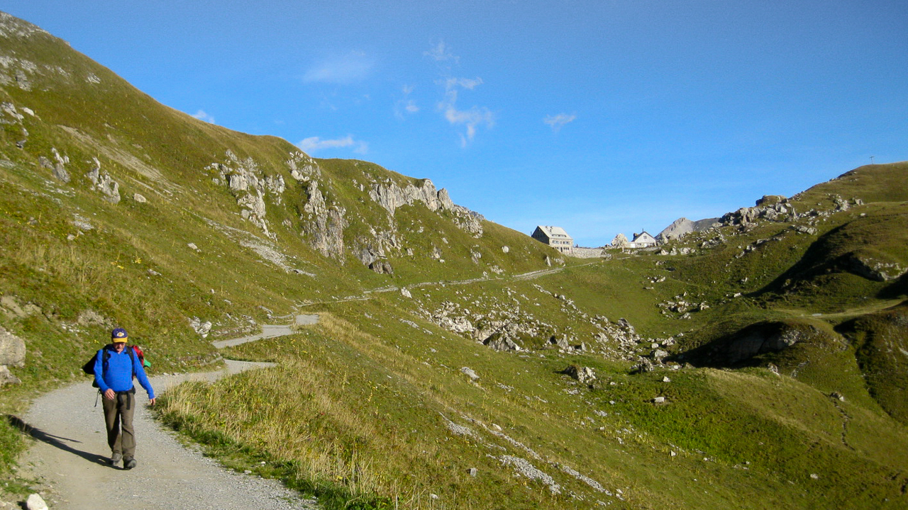
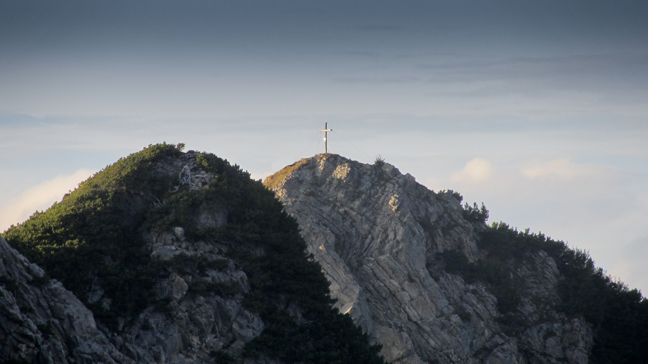
From Malbun we took the gondola from 5274 ft (1608 m) to the Sareiserjoch at 6526 ft (1990 m). At the top we were greeted by an Alphorn player – a nice touch to start our day – and we could hear her tunes for quite a while across the valley. The first ~2.5 mi (4 km) follows a trail to the Chalbergrad and continues along a very pronounced ridge towards our first summit. Great views in both directions of the ridge. The last 0.4 mile (0.6 km) before HBØ/LI-ØØ4 – Augstenberg, are kind of steep. The summit is a rocky outcropping on a rather large, sloped and green summit. The obligatory cross at the summit served as a backdrop for our first SOTA summit photo of the day.
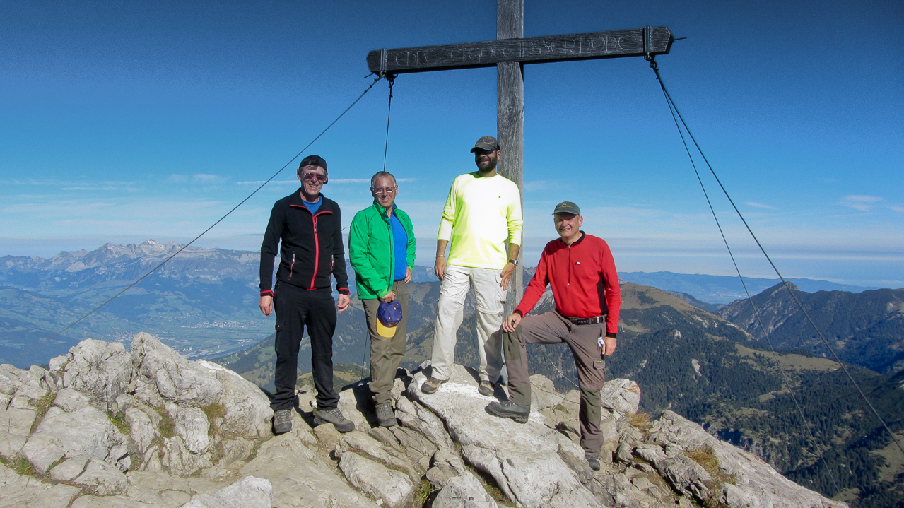
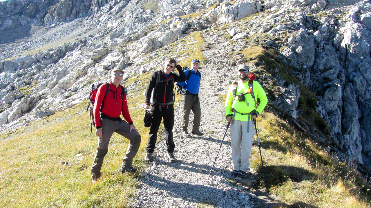
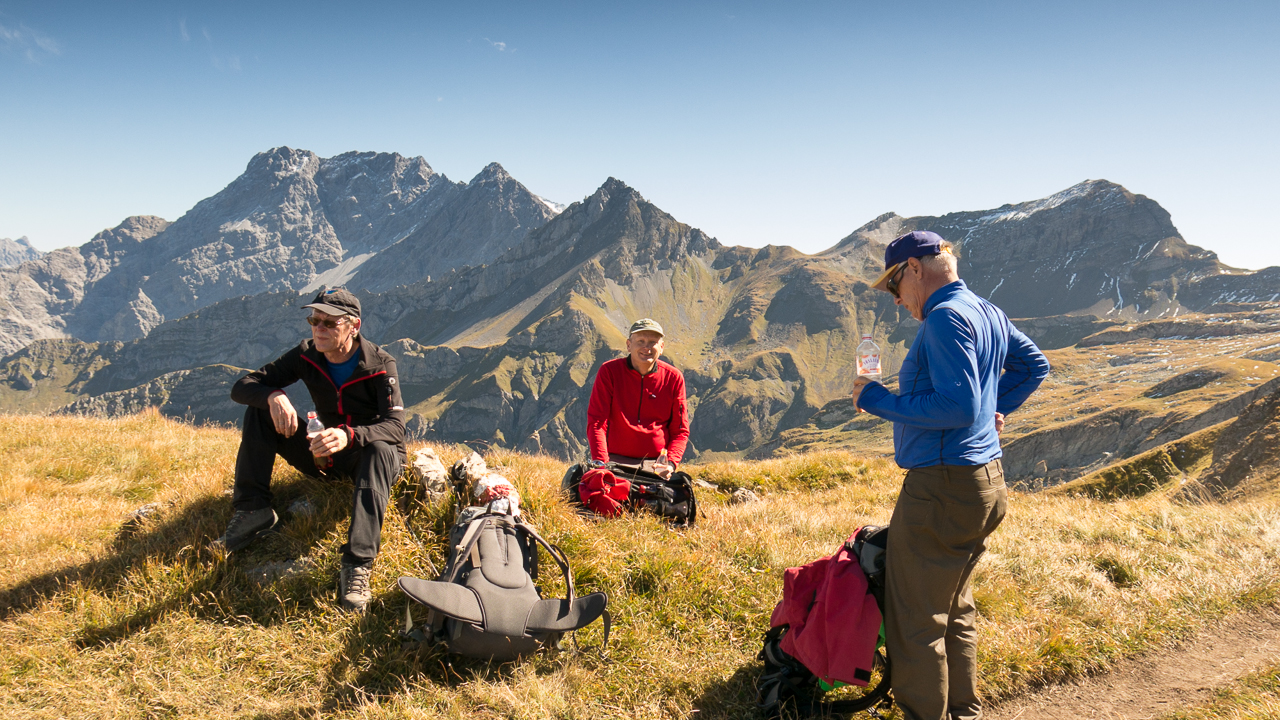
OE9CSH, OE9AMJ, KØMOS, OE9HRV (l to r)
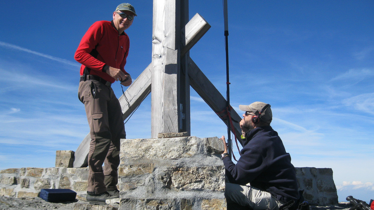
On the summit we setup two stations, a CW station for Arno/OE9AMJ and an SSB station for the rest of us. No problem to activate a summit on 40m in Europe :)
Within 40 minutes we all had our contacts logged and were on our way to the grand prize of the day. Reluctantly we decided to skip Gorfion (OE/VB-241) to allow plenty of operation time on the Naafkopf. In retrospect a wise decision, considering that we reached the car just as the sun went down.
Haeding towards Pfälzerhütte
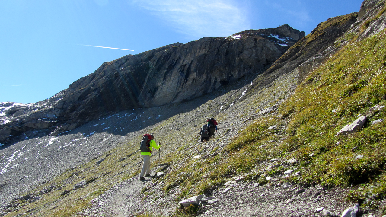
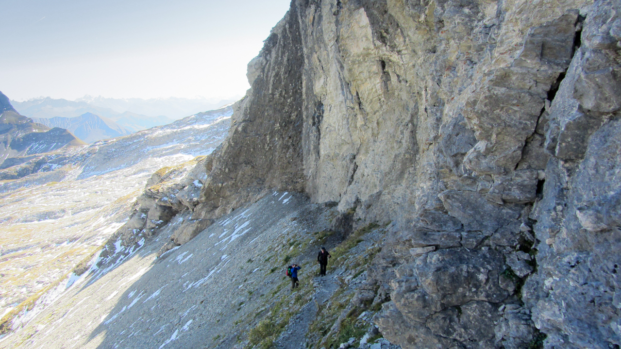
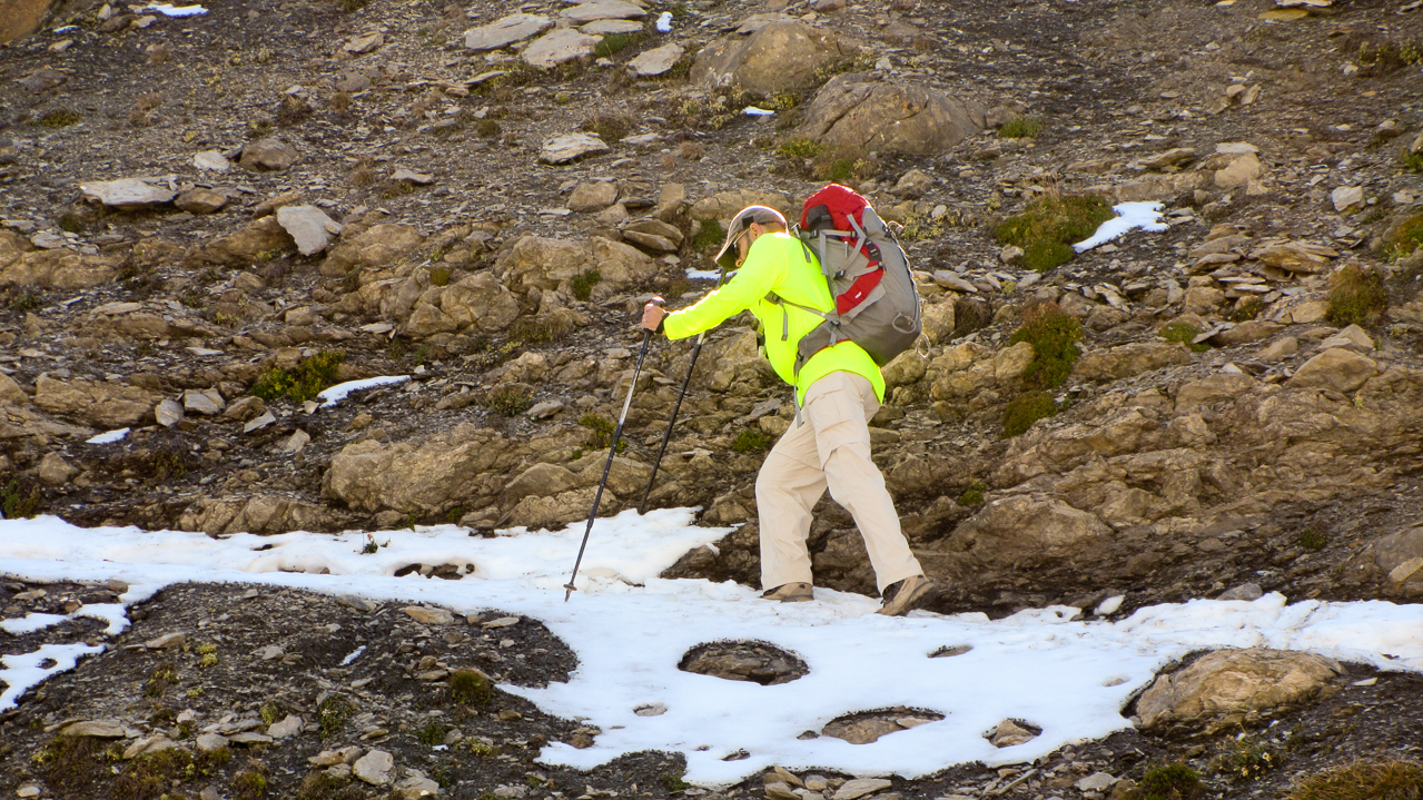
From the summit of Augstenberg (2359 m/7740 ft) we had to descend to the saddle, where the Pfälzerhütte is located at 2108 m/6916ft. A great location for having a beer, assuming you have the time… we decided to continue on to the next summit – a 462 m/1516 ft ascent over 1.8 km/1.1 mi. There is still a well defined trail up the steep slope and only one ‘critical’ spot we had to navigate. Some lingering snow from last weeks nasty weather in combination with the steep terrain slowed us down just a bit about halfway up to the summit. After that it was smooth sailing.
The Summit:
Setup on the summit:
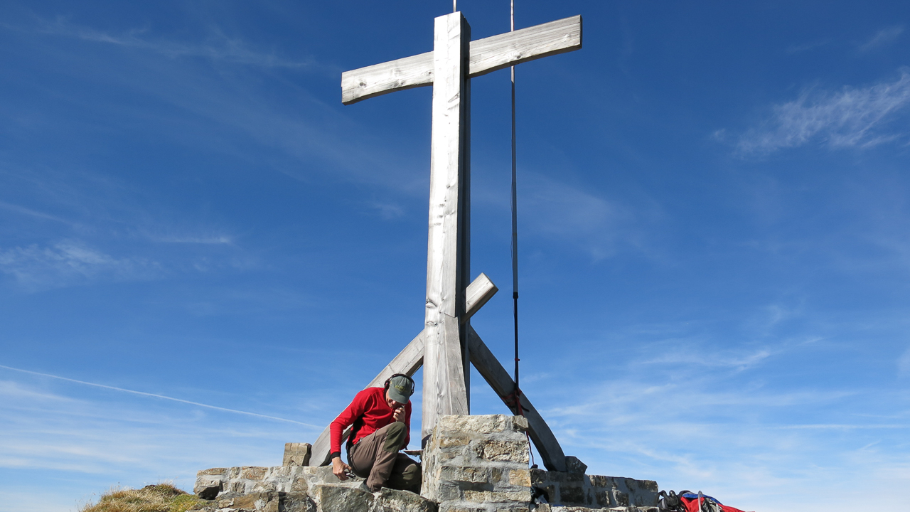
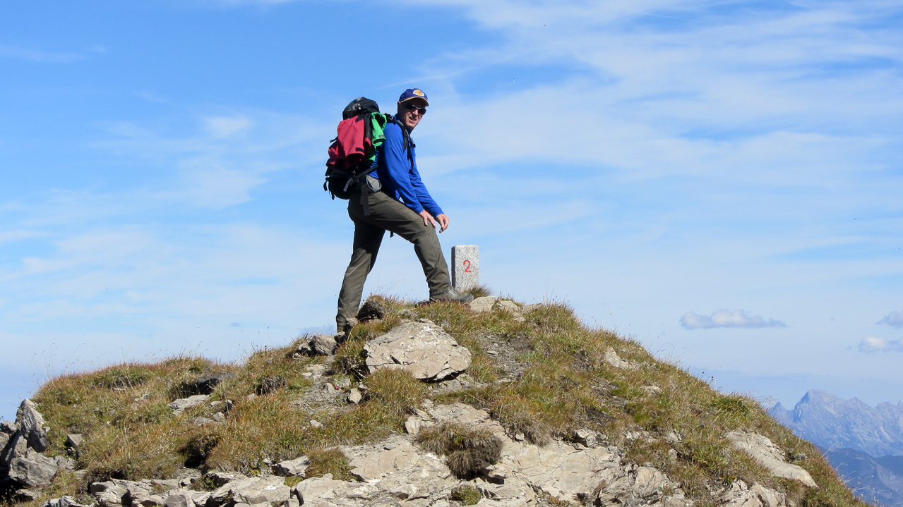
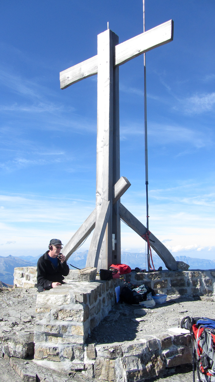
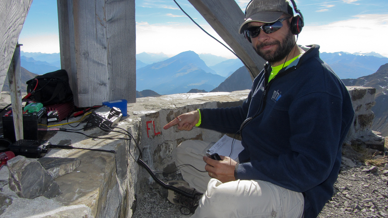
We reached the small summit around 14:00 local time under blue skies and with very comfortable temperatures. An artificial wall built from rocks, ~40 cm/16 in. in height, is dividing the summit along the border lines and building the base for the dominating summit cross. To make it really easy for us, each section of the wall was clearly marked with the name of the country so we would always know where we are :)
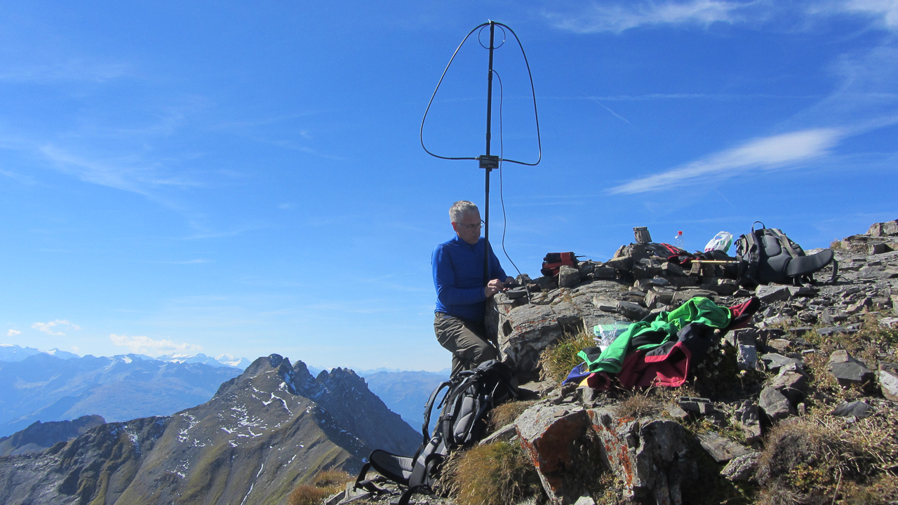
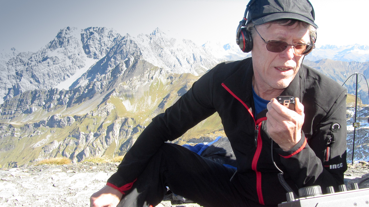
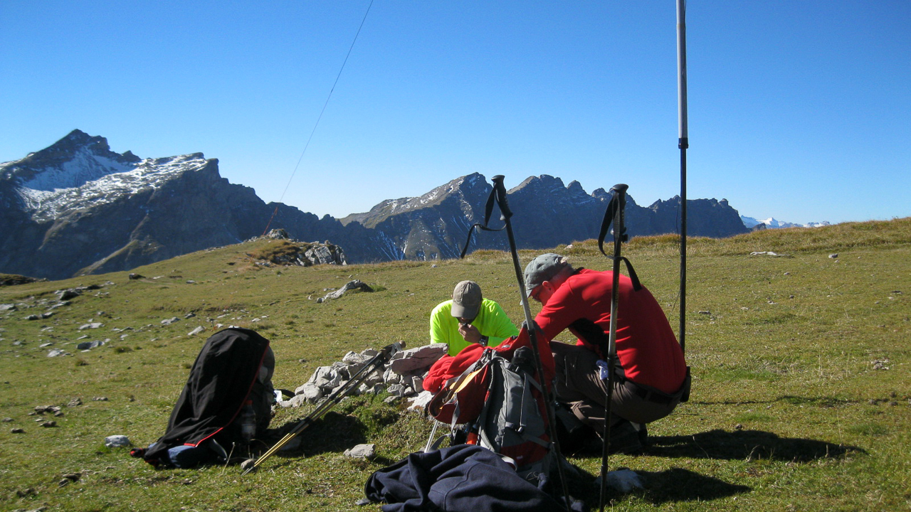
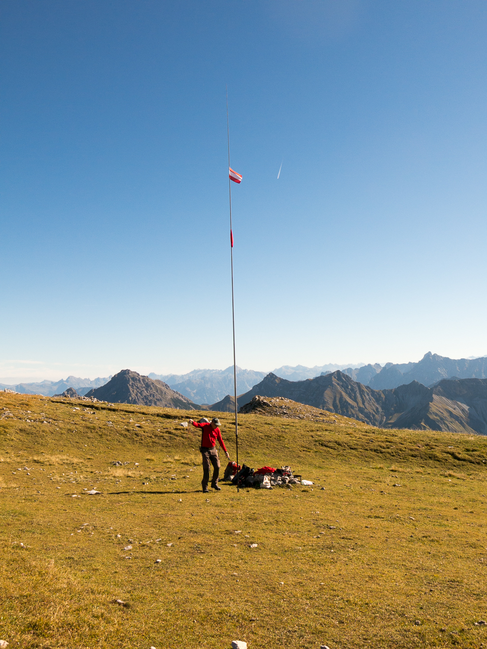
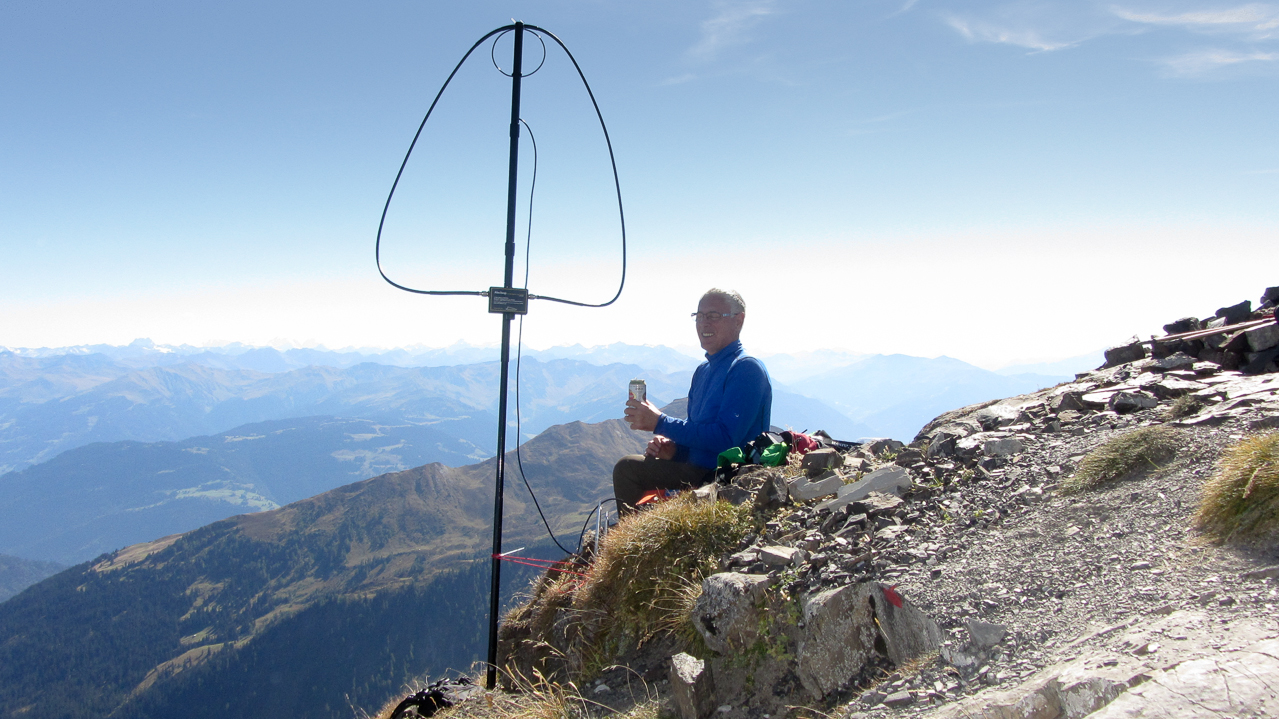
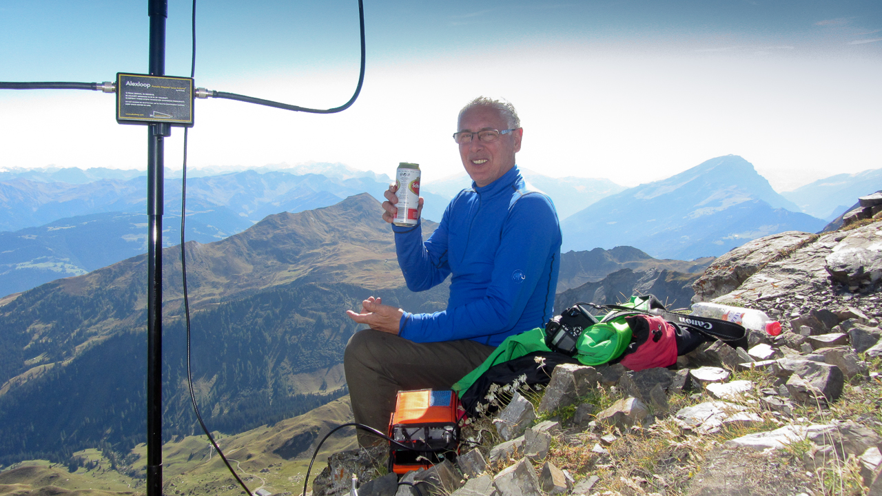
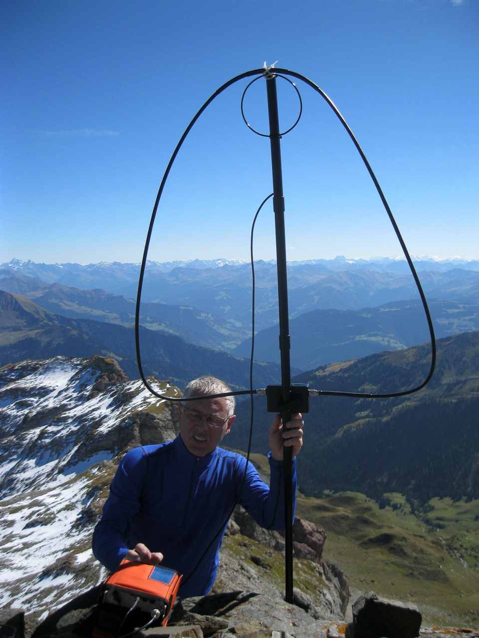
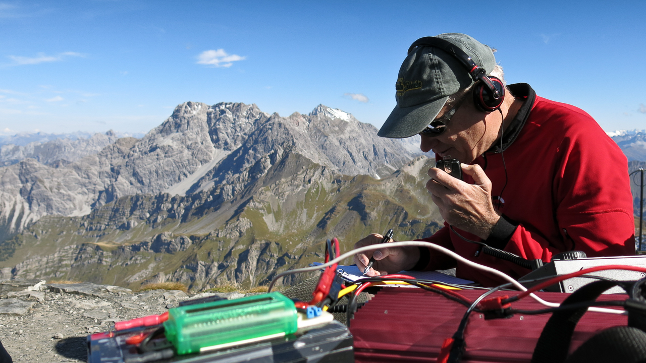
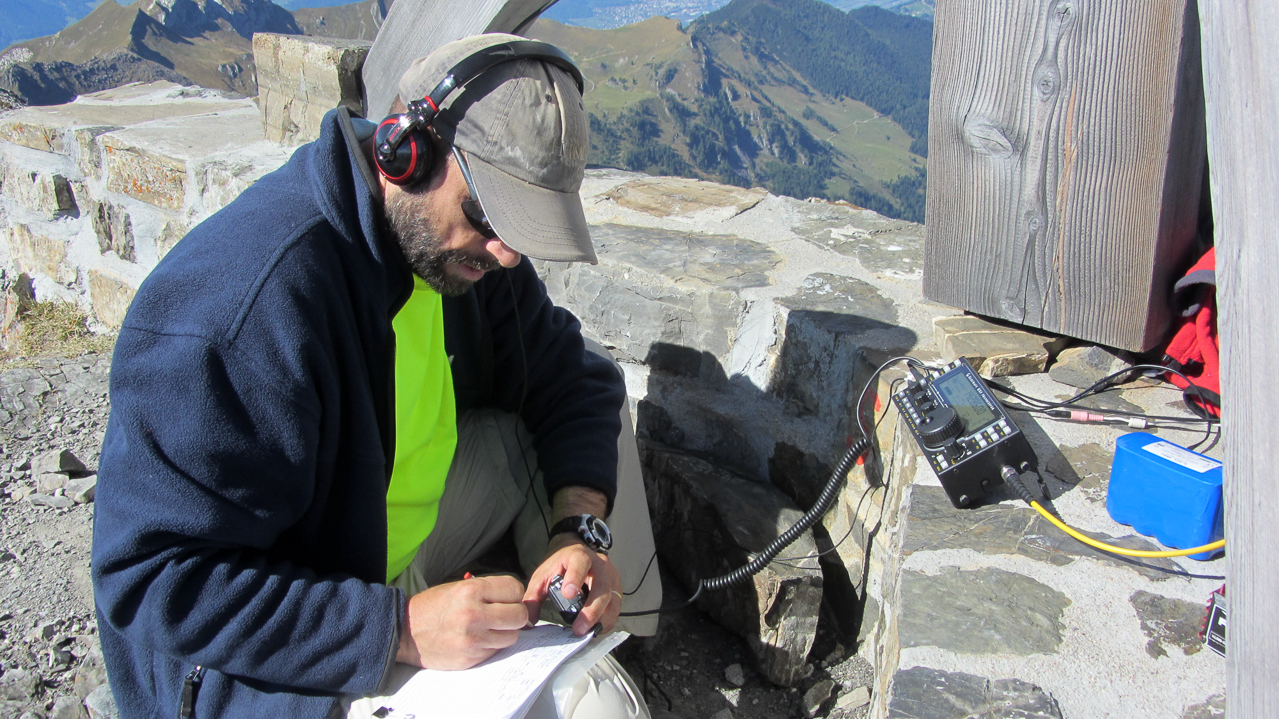
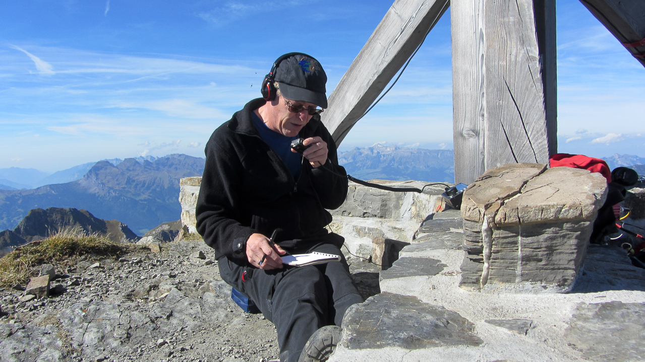
We followed the same procedure as before; Arno setting up a CW station with his FT-817 and an Alex loop, and Hebert setting up the KX-3 with a 20m J-Pole for the SSB crowd. I got the honor to go first and I chose to start on the Swiss (HB) side of the summit – hoping to activate my 10th SOTA association.
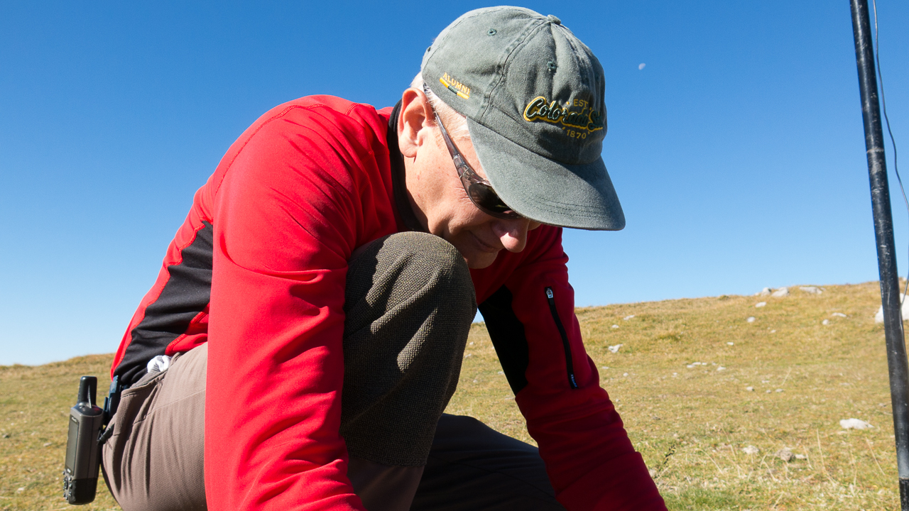
Arno/OE9AMJ on the summit
We took turns on the radio. Every 15-20 minutes we announced an operator change so we all had the chance to activate every section (association) of the summit. But announcing a summit change after the first hour stirred up some confusion in the chaser community. Changing the operator and the summit within 30 sec. on the same frequency is not very common. A short explanation of the situation kept everybody’s log in sync.
Taking turns on the summit worked out great, giving me enough time to talk and share stories with other SOTA operators and to take plenty of pictures and video footage of a perfect day.
The view towards the east with Arno’s Alex loop
We saved the best for last. With just 11 SOTA summits, Lichtenstein (HBØ) is a rare opportunity for chasers. We changed our antenna for the 15m band, hoping to get across the Atlantic and catch some stations in the US. The plan worked, NA1RL/Richard in Connecticut copied my signal and so did K2JB/Jimmy and AE4FZ/Chuck both in NC. The highlight for me however was the contact with YC5YZ on Sumatra Island – my first contact with Indonesia :)
Following my motto ‘always stop when things are at the top‘I announced another operator change and handed over the mic to Ramon.
Ramon/OE9CSH on 20m
The Descent:
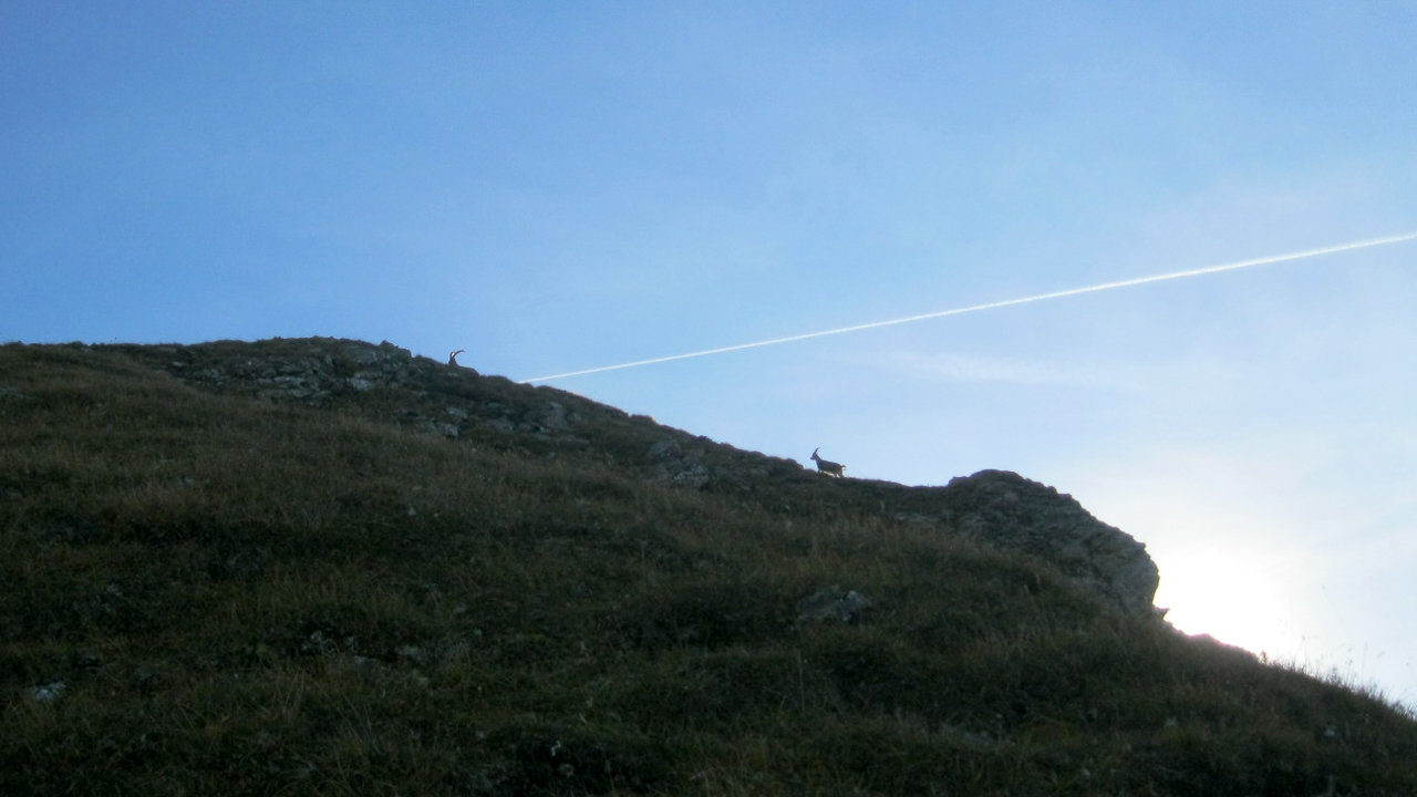
Alpine ibex
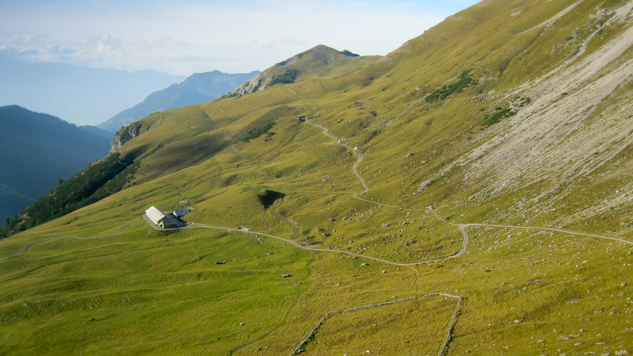
We almost had to detach Herbert from the radio by force… as longs as he has some space left in his logbook, he will not quit. But there was another summit beckoning from the distance. It was already late in the afternoon and a cool breeze forced us to put on another layer for the descent. Arno led the way down. A herd of Alpine ibexretreated from us and gave us little chance for a decent photo. At the Pfälzerhütte we turned west towards Alp Gritsch. Arno could not believe that we passed up the chance to have a beer, but chose to press on to activate another summit. Luckily he is a great guy and readily admitted that the chance to activate another HBØ summit does not come along everyday for me. I guess I owe him a beer.
Tälihöhi with Nospitz in the distance
We passed by the Alp towards Tälihöhi, the last ridge we had to get over before heading down to Malbun. The Nospitz can be easily reached by a short ascent from the Tälihöhi. From this ridge it was another 45-50 minutes back to town and to the car. We all started to feel some wear and tear in our bones and joints and reached the car just when the sun went down – perfect timing.
Needless to say that it was an incredible day. The weather cooperated, amazing views, a great hike, special camaraderie and overall perfectly organized by Herbert – a trip I will always remember.
Here some additional pictures:
Alphorn player at the summit station
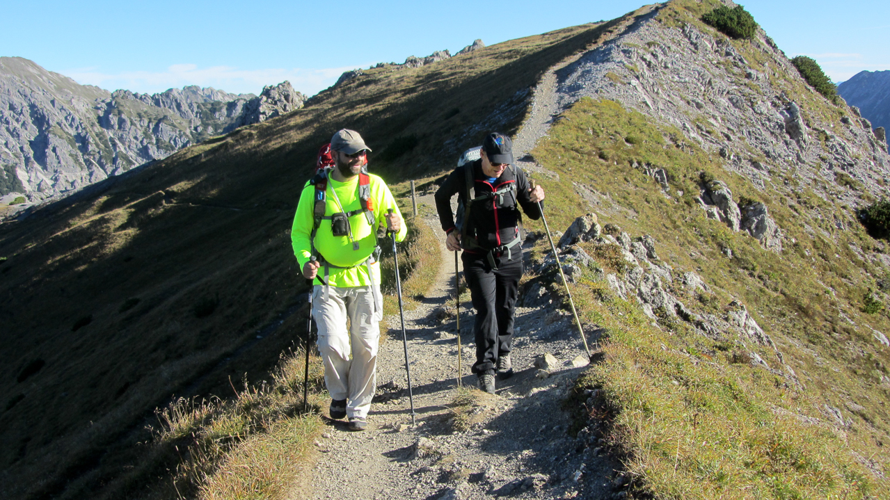
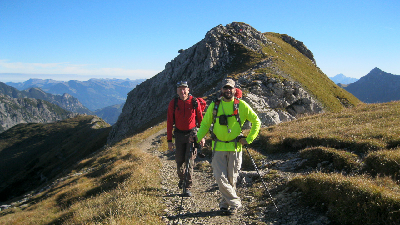
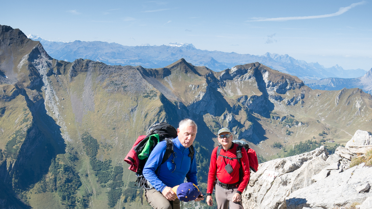
Ramon & Matt on the ridge
Herbert & Matt on the ridge
Heading up Augstenberg
The summit of Augstenberg
Setting up on Augstenberg
Setting up on Augstenberg
The view from Augstenberg with the Naafkopf
40m Bazooka
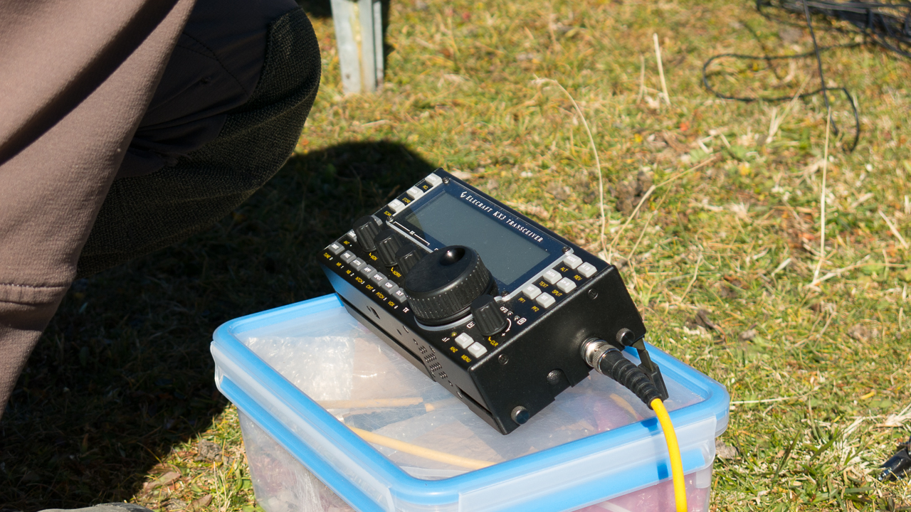
KX3 ready for action
Herbert
Matt
Herbert & Arno
Short break: Ramon,Arno and Hebert
Ramon heading up Naafkopf
Arno, Ramon, Matt
Arno, Ramon
Arno investigating a boundary stone
Slippery when wet
Waiting for Herbert
Operating on the HBØ side
Arno is setting up his station
Arno is setting up his station
Arno is setting up his station
Arno is setting up his station
Arno is setting up his station
Please don’t trip
Ready to go
CQ CQ
Arno celebrating
Arno celebrating
re-tuning the Alex loop
The view towards the east with Arno’s Alex loop
The view towards NE
Labels on the summit (FL-Fürstentum Lichtenstein)
Labels on the summit (S-Schweiz)
Labels on the summit (Ö=Österreich)
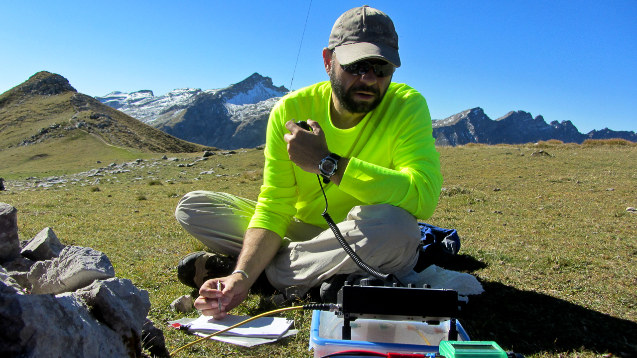
Hebert in his element
Matt on the OE side
Ramon on HB side
Ramon a little closer
I am in HBØ
Heading down
Arno with Pfälzerhütte in the background
The last summit of the day: Nospitz
Some video impressions:
httpvh://www.youtube.com/watch?v=gA8NaYhz1fQ
If you would like to leave questions or comments, please do so through Youtube.
!! WARNING !! There are old mountaineers, and
bold mountaineers… there are no old-bold mountaineers.
Hiking and mountain climbing are potentially hazardous activities particularly in Colorado with its extreme elevations. I am not accepting responsibility for any death or injury resulting from activations based on my trip reports. Proper training, experience, and personal capability assessment is required – enjoy!
W0C/PR-021 (Mt. Parnassus) 4129 M / 13574 ft
W0C/FR-006 (Bard Peak) 4150 M / 13641 ft
August 21, 2013
by KØMOS
Mount Parnassus (no, not the famous Mountain from the Greek mythology) and Bard Peak are two summits in the Rocky Mountains of Colorado. They are just along I-70, shortly before entering the Eisenhower tunnel (coming from the east). I have driven by these unspectacular mountains numerous times without even noticing them. They are rather easy to access via Herman Lake TH which is right at the exit 218 of I-70. Looking at the SOTA map for WØC, I decided to pay them a visit.
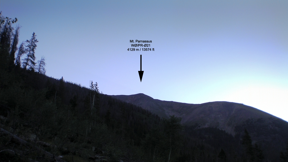
Mt. Parnassus as seen from the TH (almost)
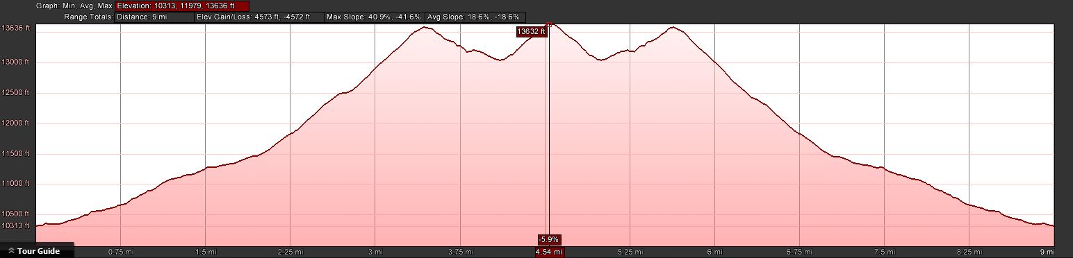
 Trailhead:  10313 ft / 2526 m
 Summit:     13574 ft / 4137 m (Parnassus)
             13641 ft / 4150 m (Bard Peak)
 Elev. gain: 4574 ft  / 1394 m
 Roundtrip:  9.0  mi  / 14.5 km
From Denver, take I-70 West and take exit 218. If you go through the Eisenhower tunnel, you went too far. Take a right at the end of the ramp and drive back, parallel to I-70, for 0.15 mi (0.25 km). Information kiosk and outhouse are right there.
Red Tape:
Both summits are part of Arapaho National Forest and their rules and regulations apply.
The Ascent:
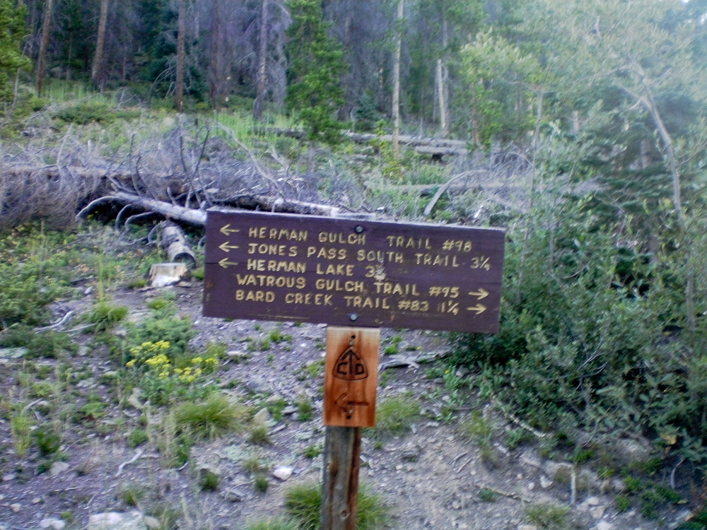
The elevation profileTrail splits after 300 yds
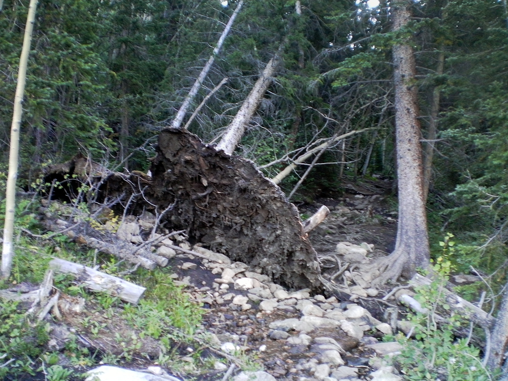
The first part of the trip follows the Watrous Trail. From the info kiosk I headed out east. After a few hundred yards the trail splits… I continued east on the trail through dead and downed trees and lots of noise coming from the highway :(
When I tried to take a few snapshots with my trusted Canon G9 I only got a ‘Lens error, restart camera’ error message combined with an ear piercing whining noise in return. A couple of restarts gave me the same result – the lens was stuck in the open position – therefore all photos were made with my video cam. My excuse for the ‘great’ quality of all the pictures. What I did not know at this point, more camera problems were to come.
Down and dead trees
After about a mile into the hike the trail starts to head towards the north, along what I can only assume is Watrous Creek. Even though the creek was still carrying water, the noise coming from I-70 was still prominent. Eventually the forest/dead-tree environment makes room for alpine tundra with quite nice scenery and views of Woods Mtn. and Mt. Parnassus. The trail follows along the west side of the creek and disappears soon after it crosses over to the other side towards the saddle between Woods Mtn. and Mt. Parnassus.
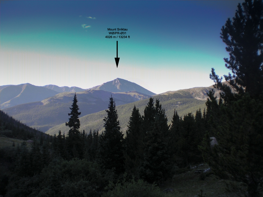
View of Mt. Sniktau
From here it is a straight shot to the saddle after passing through a few remaining trees. Conveniently, somebody erected a stone cairn near the top of the saddle. You can barely see it from here but aiming for the cairn brings you into perfect position for the last 3/4 miles or so up a rocky/grassy slope to the top of Mt. Parnassus. The views are rather nice, nearby Mt. Sniktau (WØC/PR-Ø31) clearly visible with Quandary Peak (WØC/PR-Ø14) in the background under mostly blue skies with only a few white clouds.
Aim for the stone cairn
View of Mt. Parnassus from the saddle
The Summit:
The rather steep west slope flattens towards the summit. The stone shelter can be reached without any obstacles. The large summit could host quite a few activators with their gear and antennas without getting too crowded. The views are stunning in all directions. Lot’s of high altitude SOTA peaks are in clear view.
Just after I finished shooting a 360 degree video, the battery of my remaining camera quit on me. Now I was sitting at 13574 ft / 4137 m with beautiful weather and a second summit to activate, and no camera – very disappointing.
Mt. Evans and Mt. Bierstadt with the saw-tooth route in the distance
With hardly any wind and with very comfortable temperatures I started to setup my antenna and gear. I logged my first QSO at 16:00 UTC, exactly as planned. I handed out the wrong SOTA reference number at first. Realizing that something was fishy, I asked Glenn/N4MJ to verify it for me. I only logged four QSO’s in 25 minutes. Since I had still a lot of ground to cover and because there were no more takers, I started to pack-up and move towards Bard Mountain.
Bard Peak as seen from Mt. Parnassus
Mt. Parnassus to Bard Pk.: The decent from Parnassus down to the saddle is similar to the west flank, a steep grassy slope with some rocks. Larger outcroppings can be circumnavigated without any problems . From the bottom of the saddle it is another ~600 ft (183 m) of elevation gain to the summit. I started to feel my knees and other body parts but having another 10 pointer so close by released some new energy.
It took me more than an hour to get to the top, slightly longer than planed. Setting up my shack went without hick-up under still amazing weather conditions. Logged 12 QSQ’s in 15 minutes on 20m SSB. Looked like all the chasers were finally awake ;)
After a few more but unanswered CQ’s I started my long hike back to the car.
The Descent:
Nothing noteworthy on the descent… took the same route via Parnassus. It felt like it took forever going down to the saddle and up again before heading down to the saddle of Parnassus and Woods Mountain. I reached the car, conked out after 9 miles and 4574 ft ASL (14.5 km / 1394 m). A snack and fresh water supply in the car gave me back the necessary energy for the drive home.
73, Matt/KØMOS
Feel free to leave comments and/or questions below.
!! WARNING !! There are old mountaineers, and
bold mountaineers… there are no old-bold mountaineers.
Hiking and mountain climbing are potentially hazardous activities particularly in Colorado with its extreme elevations. I am not accepting responsibility for any death or injury resulting from activations based on my trip reports. Proper training, experience, and personal capability assessment is required – enjoy!
 !! WARNING !! There are old mountaineers, and
bold mountaineers… there are no old-bold mountaineers.
Hiking and mountain climbing are potentially hazardous activities particularly in Colorado with its extreme elevations. I am not accepting responsibility for any death or injury resulting from activations based on my trip reports. Proper training, experience, and personal capability assessment is required – enjoy!
!! WARNING !! There are old mountaineers, and
bold mountaineers… there are no old-bold mountaineers.
Hiking and mountain climbing are potentially hazardous activities particularly in Colorado with its extreme elevations. I am not accepting responsibility for any death or injury resulting from activations based on my trip reports. Proper training, experience, and personal capability assessment is required – enjoy!