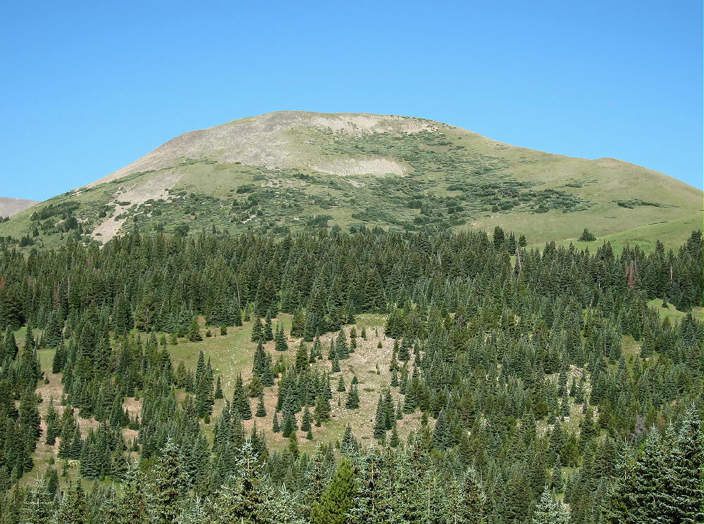
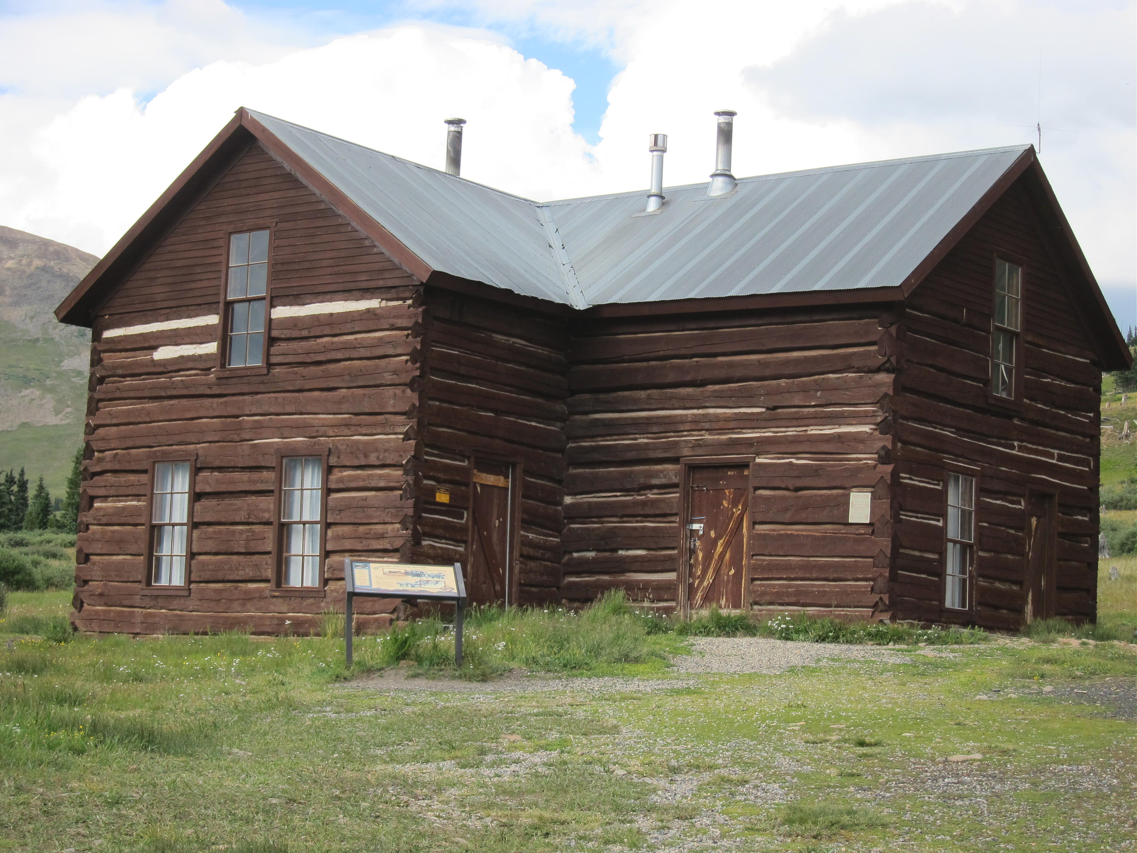
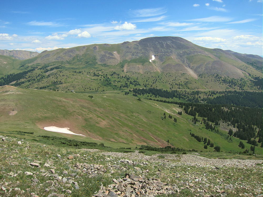
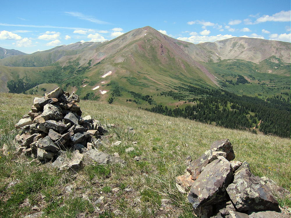
SOTA outings by KØMOS and contributors

Category: WØC

SOTA (Summits on the Air) trip reports in W0 land with pictures and videos by K0MOS. Amateur radio mountain topping.

  • W0C/FR-086 (Coffintop Mountain) – 2457 m / 8060 ft

    W0C/FR-086
    Coffintop Mountain
    2457 m / 8060 ft
    July 18, 2013 First Activation
    May 3, 2014
    May 17, 2015
    May 12, 2016

    By KX0R

    Despite its name, Coffintop Mountain is a fun, challenging summit in the mountains west of Lyons, Colorado. This peak offers an exciting SOTA activation.

    Key points:

    • Mountain in Roosevelt National Forest
    • Wild area – few visitors
    • No development on or near the mountain
    • Access via Buttonrock Preserve (City of Longmont)
    • Free parking at Buttonrock Trailhead, via Longmont Dam Road, CR 80.
    • Special rules apply in the Preserve
    • Upper part of route is mostly off-trail
    • Good navigation and route-finding required
    • My ascent required about 2-3/4 hours; descent was slightly less
    • Trailhead elevation ~ 6000 feet
    • Round-trip distance ~ 10 miles
    • Total elevation gain ~ 2050 vertical feet
    SOTA Classic!

    Driving Directions:

    • First drive to Lyons, Colorado.
    • Continue northwest on Highway 36 for about 3 miles
    • The road follows the North Saint Vrain Creek through a rocky canyon.
    • Just before the highway starts up a long hill, marked County Road 80 leads left across a bridge over the creek – tricky left turn.
    • Follow dirt road 80, Longmont Dam Road, about 3 miles to the Buttonrock Trailhead.
    • There’s no fee for entry or parking.

    The Hike:

    • Walk west up the scenic canyon on the gated service road.
    • The road leads by a small reservoir called Longmont Reservoir.
    • Continue up the canyon about ¼ mile to the marked Sleepy Lion Trail
    • Follow Sleepy Lion up a side canyon on the south side of the road.
    • Continue up Sleepy Lion until it connects with the Buttonrock Trail.
    • Follow the Buttonrock Trail up toward the northeast ridge of Coffintop.
    Route Explanation:

    There’s no marked trail from the Buttonrock Trail to the top of Coffintop. It’s necessary to leave the trail, ascend south, and meet the northeast ridge of Coffintop. The northeast ridge provides efficient, fun access to the summit. A social/game trail with some cairns leads up along this ridge. It’s essential to have a detailed topo map and compass to navigate through the rugged terrain. A GPS with map data is very helpful.  This expedition is recommended only for hikers with off-trail experience in similar terrain.
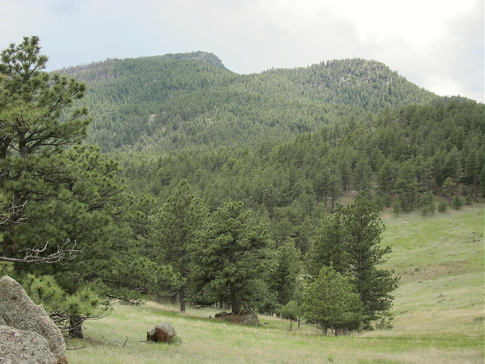
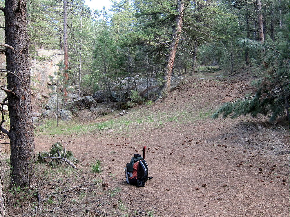
    Several possible routes provide access to the northeast ridge of Coffintop. Since some of the Boulder County land at the western edge of the Hall Ranch is a closed “conservation area”, hiking all the way up the Buttonrock Trail to the ridge is not the best option. A pleasant shortcut through the National Forest leads directly up to the northeast ridge and avoids crossing through the closed County area. This efficient route follows an abandoned road along a small creek up a secluded valley. The Buttonrock Trail meets this abandoned road at a sharp left-turn bend, at about 6500 feet elevation, where the main trail intersects the creek drainage. The old road is visible from the main trail, and it starts out on the west side of the creek.

    The coordinates of this key junction are:

    N 40 12.934’   W 105 20.657’ (WGS84)
    or
    40.2156   -105.3442
    After climbing for about 0.4 miles along the forested creek, the old road passes by an old water trough at about 6710 feet elevation.

    N 40 12.676’   W 105 20.492’
    or
    40.2112   -105.3415
    Above the trough, head east up a slope for several hundred feet up to an open meadow. Stay west of the old road visible in the meadow to the east – that road doesn’t lead to the summit. From the meadow look southwest, and find an opening on a little hill heading up toward the northeast ridge of Coffintop. An old trail leads up the ridge just south of the ridgetop. This rough route runs a long way up toward the summit. Following this trail is a challenge, but the route is efficient and avoids many hassles. Parts of the trail run along a Vee-shaped gully. Avoid any steep slopes or cliffs.
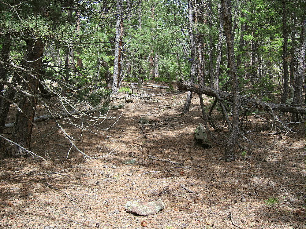
    A key waypoint on the northeast ridge at about 7080 feet elevation is at:

    N 40 12.510’   W 105 20.672’
    or
    40.2085   -105.3445

    Above this point the route climbs progressively up the ridge through the forest. At about 7400-7500 feet elevation the path is sketchy, and the route I follow is on the north side of a ridge. Avoid any steep rocks.

    A waypoint in that area of the northeast ridge at about 7440 feet elevation is:

    N 40 12.244’   W 105 20.979’
    or
    40.2041   -105.3496

    Above about 7600 feet elevation, continue ascending the northeast ridge; follow cairns leading up a shallow gully, just south of some rock outcrops east of the summit. Soon the route passes south of the north summit; the south summit is about 450 feet further along the rocky ridge. The views west are stunning!
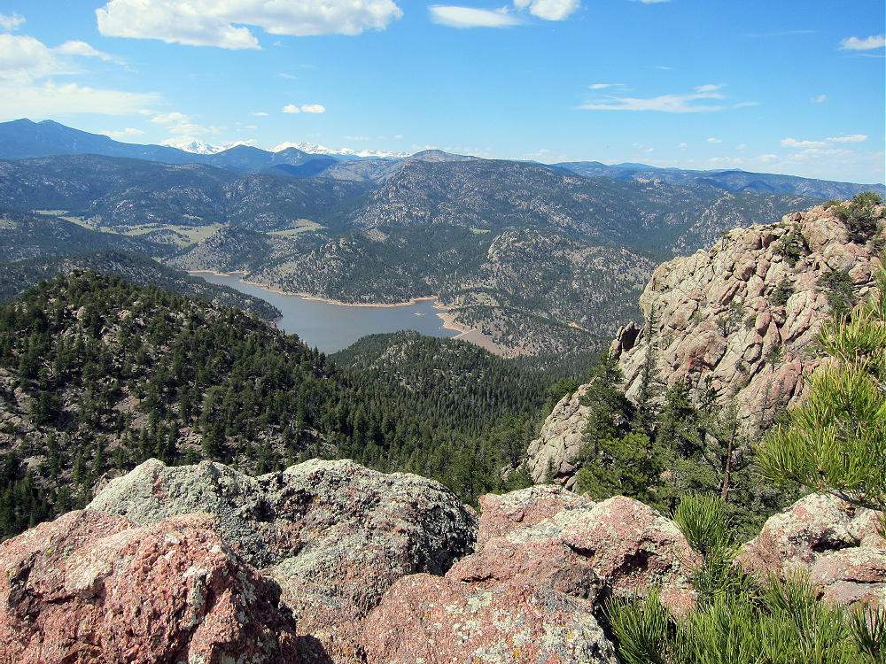
    Note that most of Coffintop Mountain, including the part of the northeast ridge used for this route, is within Roosevelt National Forest.

    Which summit is the highest point?

    I made various GPS measurements – my GPS has a barometric altimeter that helps stabilize the readings, allowing approximate comparisons of closely-spaced points. I could not determine which summit is the actual peak – they are within a few vertical feet of each other. My measurements from two trips suggest that both summits and the connecting ridge are within the activation zone. Visually it looks that way also.
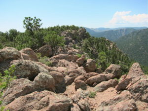
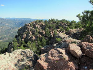
    The Google maps on the SOTA summit page show the red balloon for the summit on the south peak, so activating this would seem to remove any doubt. Lists of John also shows the south summit as the peak, and the list says 8060 feet, but none of the online maps on that site support that elevation for the south summit. However, the Google map shows the green summit symbol on the north peak. Significantly, the historical USGS 7-1/2 minute topo map (Lyons Quadrangle) clearly shows the north summit with an additional contour line at 8040 feet, but this contour only appears on the north summit. The altitude of the north summit is designated as 8049 on the map – indicating that USGS thought the north summit is the real peak.

    However, the current USGS digital map for the Lyons quad online shows the south summit within a closed contour of only 8000 feet. The contour interval is 40 feet. The north summit is not shown above 8000 feet! I cannot see where the number 8060 came from – this does not agree with the current USGS digital data. That data says that the south summit is the peak, and it is less than 8040 feet. This current map appears to confirm that the Activation Zone includes both summits and the connecting ridge.

    Pick whichever summit you like for your activation, and set up well within 75 vertical feet of the top. There are plenty of nice spots in the Activation Zone. The ridge provides shelter from the west wind, and numerous trees are available to hold a pole or a wire antenna.
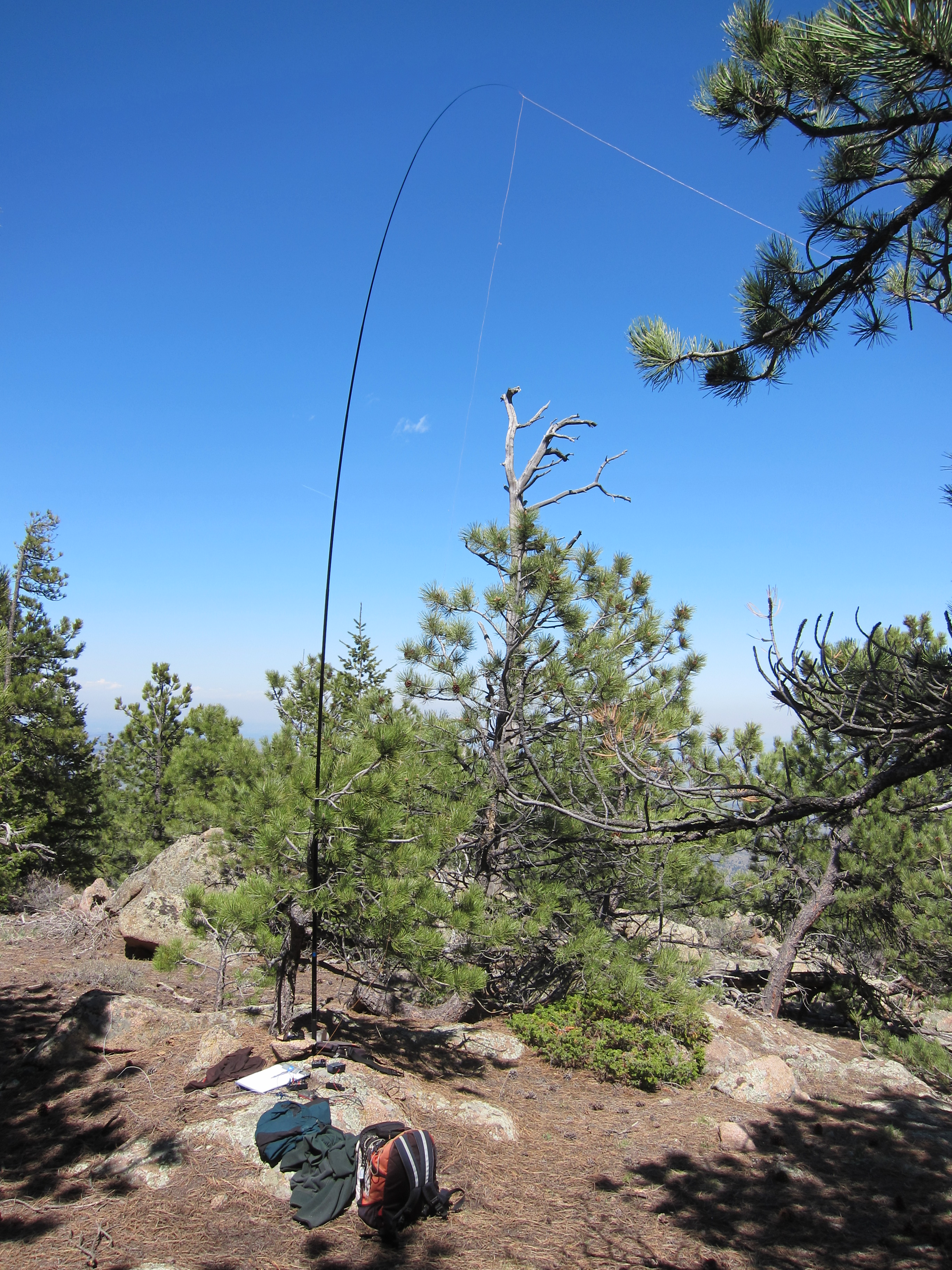
    Coffintop is a classic radio site. Its prominence and eastern position provide wide views out across the Plains. Only a few slightly higher mountains stand near the mountain in other directions, so this peak is an almost ideal HF site. HF noise is very low.  There are plenty of trees and rocks for supporting a wire or a pole.

    This peak is probably a pretty good VHF/UHF site. The view is clear from southeast to northeast. Some other mountains partially block signals north and south of the mountain – western parts of Denver, Boulder, and Fort Collins are not directly visible.

    All of my activations of Coffintop have been fun.

    Summary of results:

    July 18, 2013    14, 18, 21 MHz CW           34 Q’s     0 S2S    0 DX
    May 3, 2014      7, 14, 21 MHz CW            43 Q’s     6 S2S    5 DX
    May 17, 2015    10, 14, 18, 21 MHz CW    32 Q’s     2 S2S    2 DX
    May 12, 2016    7, 10, 14 MHz CW            34 Q’s     0 S2S    1 DX

    Coffintop Mountain is a SOTA Classic!

    • Interesting, challenging hike
    • Convenient access
    • Wild area
    • Exciting, prominent summit
    • Great views
    • Excellent radio site
    • Nice activation zone
    • Seldom visited
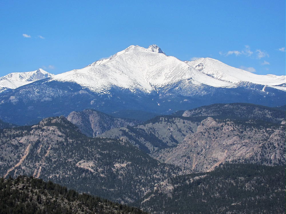
    Coffintop’s prominence makes it a target for lightning. Higher mountains to the west generate thunder storms in spring and summer, so it’s essential to climb Coffintop on dry days, or early enough to avoid storms.  Don’t let Coffintop put you in a coffin!
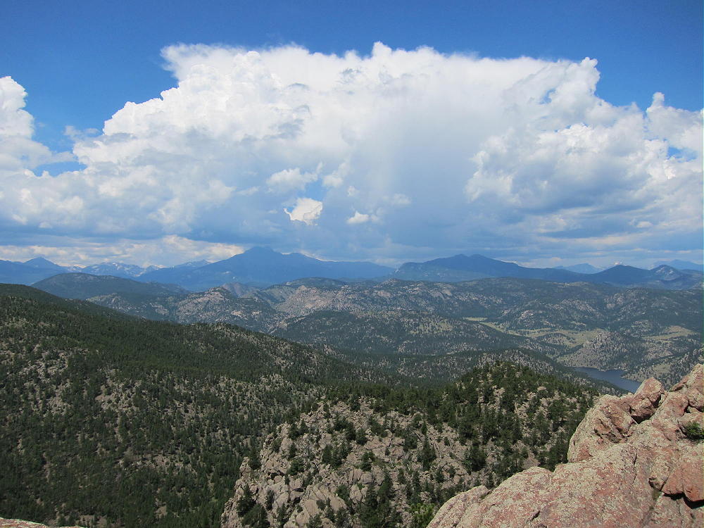
    Hiking in Buttonrock Preserve is a special privilege. This is a watershed for the City of Longmont, and it’s a protected area. Longmont is very generous in allowing access to the public. Many cities, including Boulder, don’t allow hiking in some of their watershed areas. It’s important to understand and obey the rules while in the Preserve. Fortunately, these rules are simple and clear:

    • NO Camping
    • NO Overnight parking
    • NO Bicycles
    • NO Horses
    • NO Fires
    • NO Hunting
    • NO Firearms
    • NO Boats or Floating Devices
    • NO Swimming
    • NO Resource Collection or Removal
    • Fishing in the Reservoir requires a special permit

    Note that hiking off-trail is NOT prohibited. Please respect and obey the Preserve rules so that continued access will be allowed.

    Coffintop also can be accessed from the huge, beautiful Hall Ranch, Boulder County Open Space, east of the peak. The Hall Ranch Trailhead is located north of South Saint Vrain Highway 7, about a mile west of Lyons. There’s no fee to park, but special rules apply. The Nighthawk Trail leads all the way up to the Buttonrock Trail northeast of Coffintop. This is a much longer route than from the Buttonrock Preserve, but it’s very scenic.
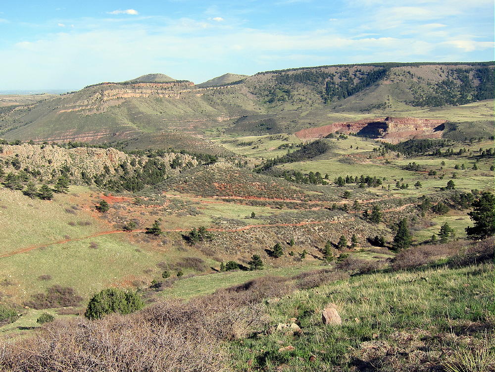
    Several other more challenging approaches can be used to climb Coffintop.

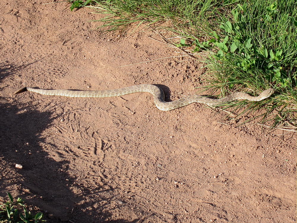
    Be aware that rattlesnakes are common at both Hall Ranch and Buttonrock Preserve!
    73

    George
    KX0R

    ATTENTION !! WARNING !! There are old mountaineers, and bold mountaineers… there are no old-bold mountaineers. Hiking and mountain climbing are potentially hazardous activities particularly in Colorado with its extreme elevations. I am not accepting responsibility for any death or injury resulting from activations based on my trip reports. Proper training, experience, and personal capability assessment is required – enjoy!
  • W0C/PR-107 (10450) – 3185 m / 10450 ft

    W0C/PR-107
    10450
    3185 m / 10450 ft
    First Activation
    Sep 12, 2016

    By KX0R

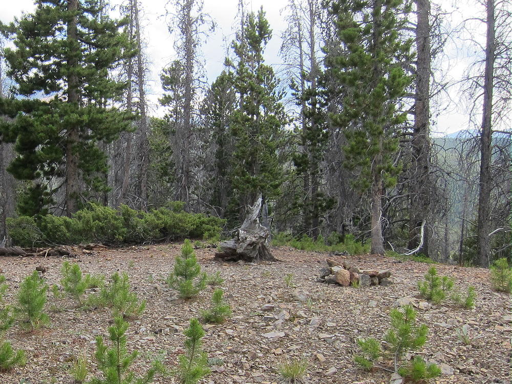
    Peak 10450 is a fun SOTA peak hidden in the forest near Breckenridge, Colorado

    White River National Forest
    • Good marked trail much of the way
    • Very moderate off-trail final climb, about 0.6 mile to a pleasant forested summit
    • Nice hike partly along the Colorado Trail
    • Interesting, popular trailhead
    • Obscure summit, rarely visited
    • ~ 5.5 miles round-trip
    • ~ 1000 vertical feet

    Driving Directions:

    • Drive west from Denver on I-70 to Frisco
    • Turn south on Highway 9 and drive toward Breckenridge
    • Turn left, east, at a stop light north of Breckenridge onto Tiger Road
    • About 2.1 miles from the stop light, look for a trailhead on the left (north) side of the road, at a small lake
    • This is the Horseshoe Gulch Trailhead
    • Galena Gulch leads south on the opposite side of the paved road from the Trailhead
    • This is called Blair Witch Trailhead on Google Maps (click the link for Drone Video!)
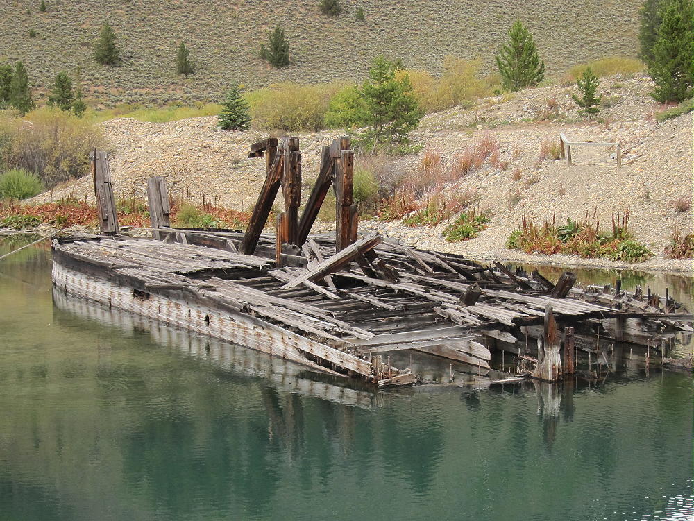
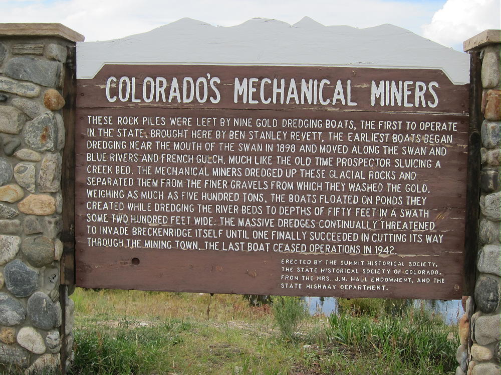
    • It’s also the site of the Tiger Gold Dredge, sitting in the small lake


    • It’s a very popular mountain bike trailhead with convenient access to the Colorado Trail
    • Parking is free, but the lot may fill up on summer weekends

    The Hike:

    • Hike around the east end of the lake by the dredge and follow the excellent Horseshoe Gulch Trail 9131 north up the valley. Keep an eye open for mountain bikers!
    • At about 0.5 miles, the trail intersects the Colorado Trail No. 1776

    • Follow the Colorado Trail east as it climbs switchbacks up a hill
    • The trail leads around the north side of the hill
    • Next it crosses an open, clear-cut saddle at about 9850 feet


    • The trail ascends around the north side of a higher ridge to a saddle at 10,200 feet


    • At the saddle, leave the trail and head south up the big forested ridge
    • Follow the ridge about 0.2 miles to a sub-peak at 10,400 feet
    • Continue southwest through the forest for 0.4 additional miles, along the relatively open ridge to the actual summit
    • The correct summit is obvious, because the land falls away steeply to the west, south, and east

    Additional Details:

    While you’ll probably see hikers and bikers on the Colorado Trail, Peak 10450 sees very few visitors – it’s an average summit surrounded by much higher peaks. However, 10450 is very accessible – I was surprised that it had not been activated for SOTA.

    Most of the route along the ridge is through open pine forest, but there are a few spots of thick lodge-poles with a little deadfall. Be sure to hike all the way south to the actual summit. There’s a pile of rocks near the peak.

    The large Activation Zone is open forest, with plenty of trees for supporting a pole or a wire. It’s possible to set up in a sunny spot with some shelter from wind. There are partial views through the trees off the south side.

    Because there’s no development near the peak, the HF noise level is low. It’s a fine HF site – I made 40 contacts on 4 HF bands. VHF/UHF coverage probably is limited to the area around Breckenridge and Frisco.

    Peak 10450 is close to Swan Mountain W0C/PR-098, and the two mountains could be climbed in a long day for a dual activation.

    73

    George
    KX0R


    ATTENTION !! WARNING !! There are old mountaineers, and bold mountaineers… there are no old-bold mountaineers. Hiking and mountain climbing are potentially hazardous activities particularly in Colorado with its extreme elevations. I am not accepting responsibility for any death or injury resulting from activations based on my trip reports. Proper training, experience, and personal capability assessment is required – enjoy!
  • W0C/PR-098 (Swan Mountain) – 3291 m / 10796 ft

    W0C/PR-098
    Swan Mountain
    3291 m / 10796 ft
    Aug 2, 2016

    By KX0R

    Swan Mountain is a somewhat challenging summit near Breckenridge. An old closed power-line road provides efficient access.

    White River National Forest
    • Steep closed power-line road most of the way
    • Moderately short, off-trail climb to peak
    • Some navigation required
    • Good game trails near the top
    • Very prominent summit
    • Fine HF site
    • ~3.7 miles round-trip
    • ~1800 vertical feet

    Driving Directions:

    • Drive west on I-70 from Denver
    • Go through the Tunnel and continue to Frisco
    • Exit and follow Highway 9 south toward Breckenridge
    • At the southwest corner of Dillon Reservoir, turn east on Swan Mountain Road
    • Drive about 0.2 miles
    • Park across the river in a large parking area on the east side of the road.
    • Parking is free
    • The parking area is mostly used by fishermen

    The Hike and Climb:

    • Look for a social trail, and hike northeast from the parking spot a short distance
    • Head for the large power lines
    • Go through the woods and find the power-line road under the lines
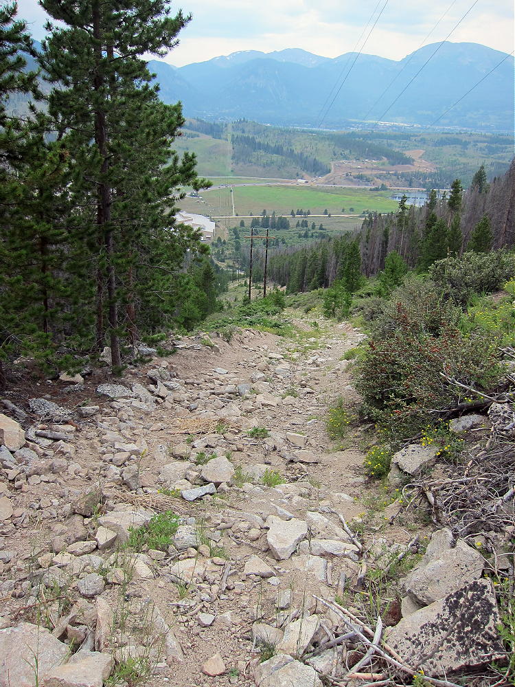
    • Climb steeply up this closed road


    • Follow the power lines all the way up to a huge meadow at 9800 feet
    • Continue northeast along the road through the meadow


    • Swan Mountain is visible to the east
    • Follow the road as it ascends northwest of Swan Mountain, up to a saddle and power line junction at 10,300 feet
    • Leave the road and hike east up to the ridge at about 10,400 feet. There is some deadfall as you go up through the forest. Try to follow game trails near the ridge-top.
    • Continue southeast along the ridge and over a sub-peak at about 10650 feet
    • Continue across a shallow saddle at 10,600 feet and follow a game trail southeast, up through open forest to the peak.

    Additional Details:


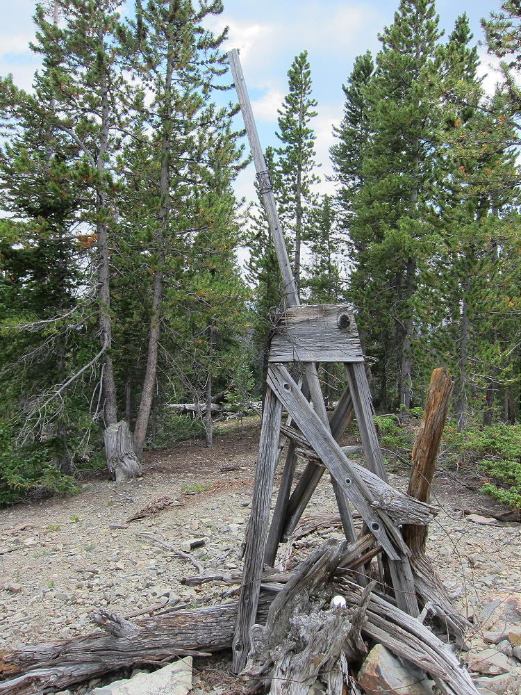
    You’ll know you’re on top when you come to the classic old triangulation station still standing up there!

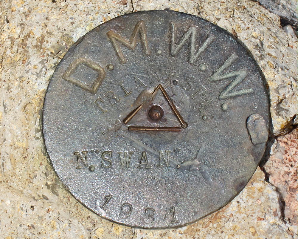
    There’s also a benchmark at that spot with the initials DMWW (Denver Water), the date 1931, and “N. SWAN”.

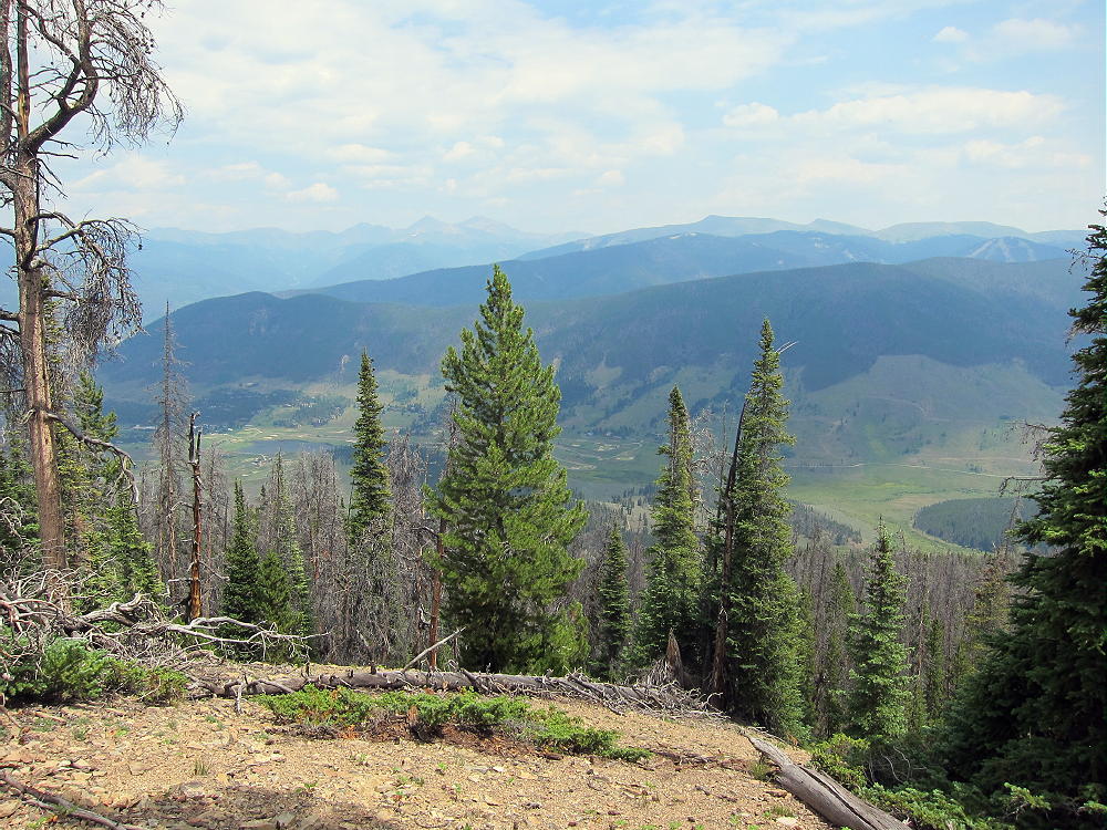
    The broad top of the prominent mountain is covered with widely-spaced pine trees. It’s easy to set up radio gear and a wire antenna. It’s relatively friendly, and there are few rock outcrops; the summit appears to be made of soft shale. Few people visit the summit. Views are limited by the trees, but where you can see off the peak, it’s very impressive.

    Swan Mountain is a good HF peak. The major power lines are some distance from the summit, and the RF noise level is low. No nearby peaks block skip signals significantly. I had no problem making 33 contacts on four HF bands from up there. VHF/UHF coverage is probably limited to the area around the Blue River Valley.

    Swan Mountain has a sister summit about 0.2 mile southeast of the main (north) peak. Both peaks have similar elevation, and the activation zone appears to include both of them, along with the shallow saddle between.

    It’s possible to access this peak more directly by climbing up to the saddle northeast of the summit from the meadows and forest below.

    I descended this way, and it was more pleasant than the northwest ridge route. GPS is recommended for navigation on Swan Mountain.

    This peak can be combined with several nearby SOTA peaks for a dual activation:

    10450 W0C/PR-107
    Mount Sniktau W0C/PR-031

    Be aware of hunters in the fall – wear bright orange.

    73

    George
    KX0R


    ATTENTION !! WARNING !! There are old mountaineers, and bold mountaineers… there are no old-bold mountaineers. Hiking and mountain climbing are potentially hazardous activities particularly in Colorado with its extreme elevations. I am not accepting responsibility for any death or injury resulting from activations based on my trip reports. Proper training, experience, and personal capability assessment is required – enjoy!
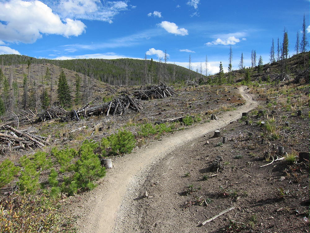
  • W0C/SP-121 (Sulphur Mountain) – 2847 m / 9339 ft

    W0C/SP-121
    Sulphur Mountain
    2847 m / 9339 ft
    Nov 14, 2015
    July 16, 2016 with N0TA

    By KX0R

    Sulphur Mountain is located in South Park, a few miles north of Spinney Mountain W0C/SP-118.

    Key points:

    • No trail
    • Hike up and along a hogback ridge
    • Geology field trip
    • Fine HF site
    • Good dual activation with Spinney Mountain W0C/SP-118
    • ~2.2 miles round-trip
    • About 585 vertical feet

    Sulphur Mountain is about a mile from the north entrance to Spinney Mountain State Park.

    Driving Directions:

    • Drive to Highway 24 west of Wilkerson Pass, either via Lake George from the east, or via Hartsell from the west.
    • Continue to CR 23 – the turn is about 4.5 miles west of Wilkerson Pass, or about 10.5 miles east of Hartsel
    • Drive south on CR 23 for 1.4 miles
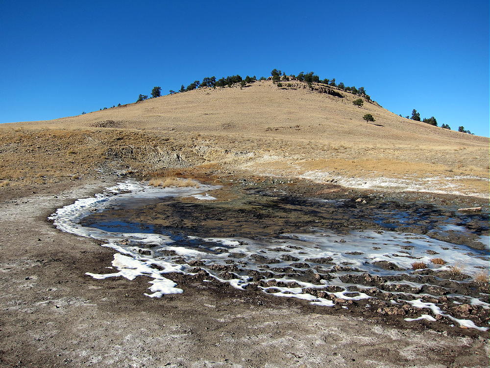
    • Turn west on CR 418, Mineral Springs Road, and drive 1.4 miles to the mineral springs near the south end of Sulphur Mountain
    • Sulphur Mountain is well-named for these springs– they smell of sulphur.
    • Park here off the road

    Thanks to Walt, W0CP, for first activating Sulphur Mountain!

    Before activating Sulphur, examine the Google satellite image. Most of the land around the 2-mile-long mountain is private, but there’s hiking access at the south end near the springs. The springs area isn’t posted.

    The Hike:

    • Walk up the draw just west of the springs. This area appears to be an informal shooting area.

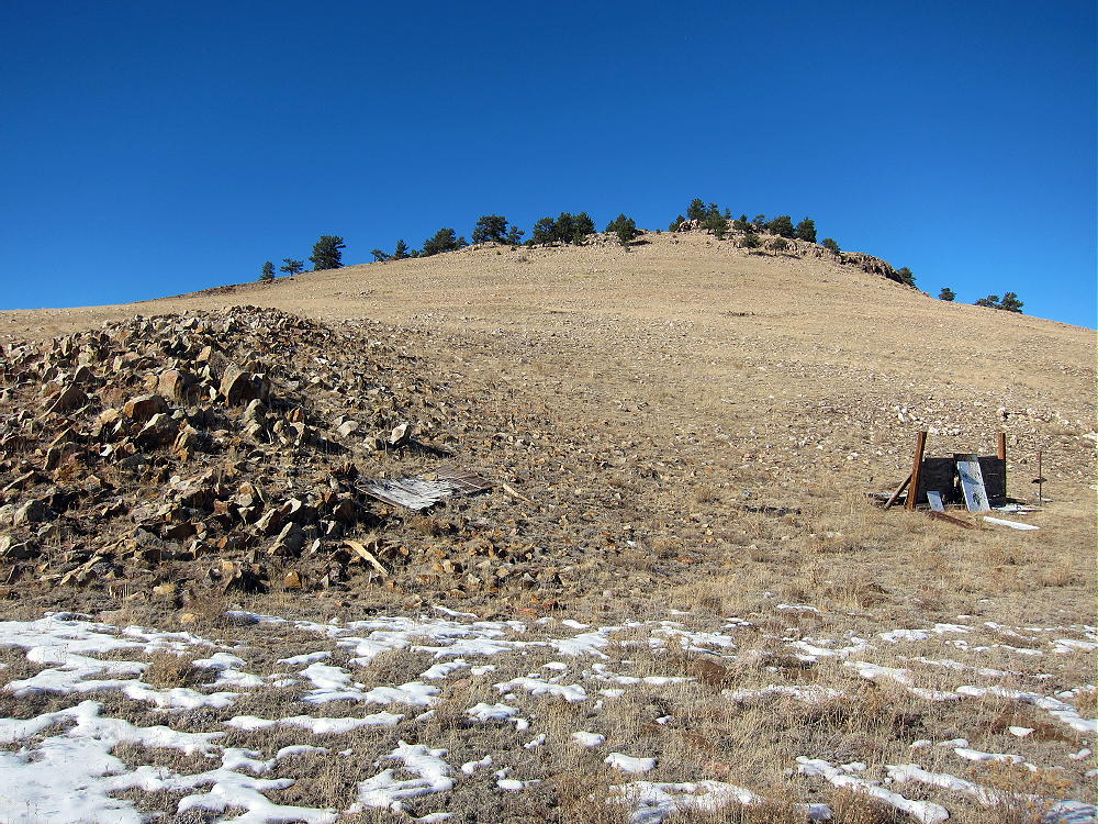
    • Head up the open rocky slope toward the right – east side – of the ridge.
    • Avoid the private road west of the draw – it doesn’t lead toward the summit.
    • Some of the land on the mountain may be private, but it wasn’t posted anywhere along the route when I was there. It appears that the occasional visitor is OK.

    Details:

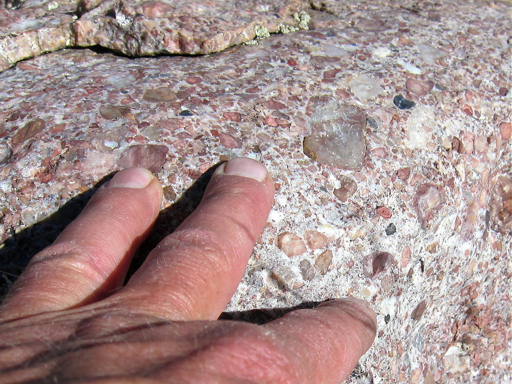
    Sulphur Mountain is a hogback ridge running SE-NW. The ridge is on the major Elkhorn Thrust Fault. The summit ridge is partly made of inclined bedded quartzite and other rocks.

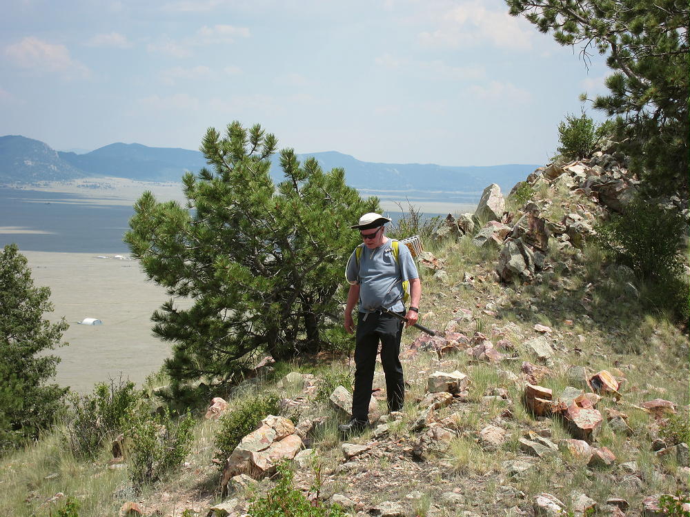
    Follow the ridge along the east side, through sparsely-forested meadows. Game trails make most of the route easy. The ridge-top is rocky, and depending on conditions, it may be easier to hike below and parallel to the ridge, instead of right along the top. The peak is about 0.6 mile from the south end of the ridge, or about a mile from the mineral springs.

    The summit is a bump on the long, prominent ridge; the activation zone is large. It was pleasant when I was there in the fall. The views of South Park and the surrounding mountains are impressive. Even though a few houses stand down below, you can’t see them from the top of the ridge.

    It’s easy to set up for a SOTA activation anywhere near the rocky peak.  The large activation zone has a some trees for supporting an antenna pole.  Shelter from wind is provided by the summit ridge.  Sulphur Mountain is a good HF site; I heard no man-made RF noise. VHF/UHF coverage is limited mostly to South Park.

    I had a fine HF activation on Sulphur, with 43 contacts on 10, 14, and 18 MHz CW.

    Although I saw no hunters, be careful of hunters in the fall.

    It’s possible to combine an activation of Sulphur Mountain with nearby Spinney Mountain W0C/SP-118 a few miles to the south, as well as with other SOTA summits in South Park.

    73

    George
    KX0R


    ATTENTION !! WARNING !! There are old mountaineers, and bold mountaineers… there are no old-bold mountaineers. Hiking and mountain climbing are potentially hazardous activities particularly in Colorado with its extreme elevations. I am not accepting responsibility for any death or injury resulting from activations based on my trip reports. Proper training, experience, and personal capability assessment is required – enjoy!
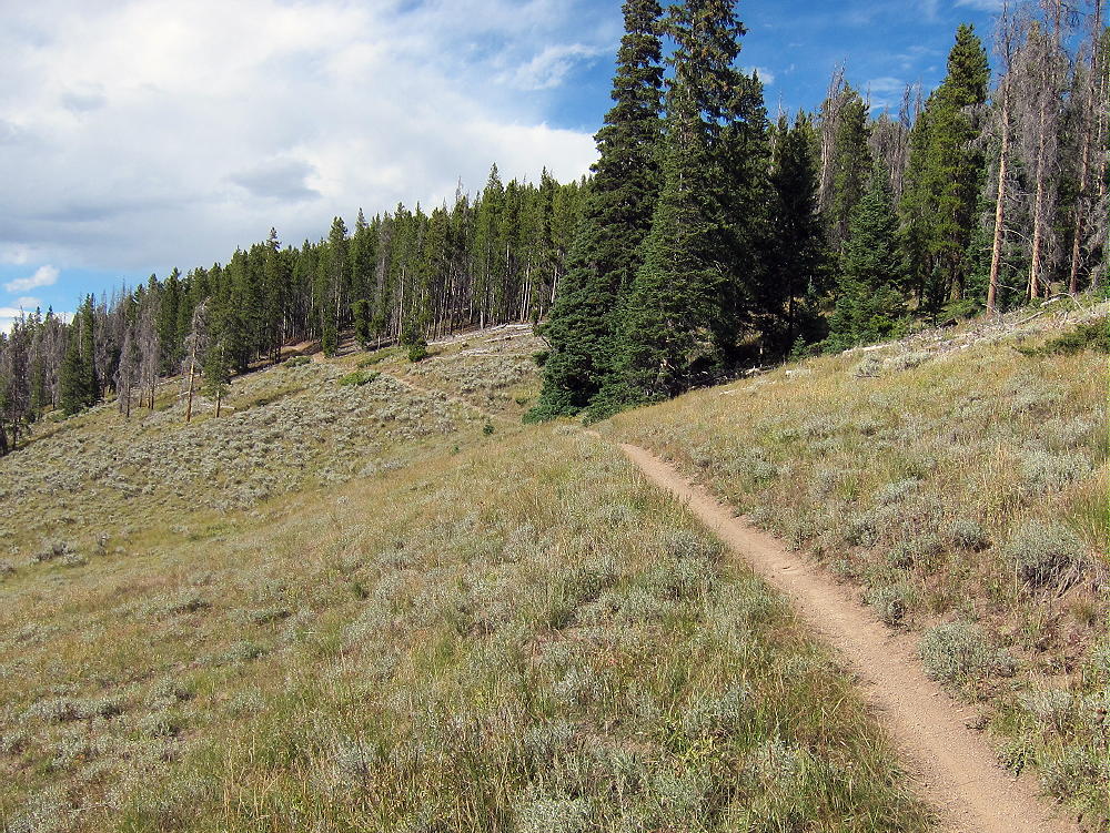
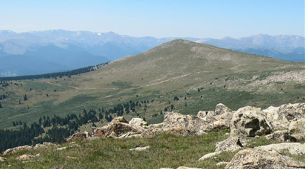
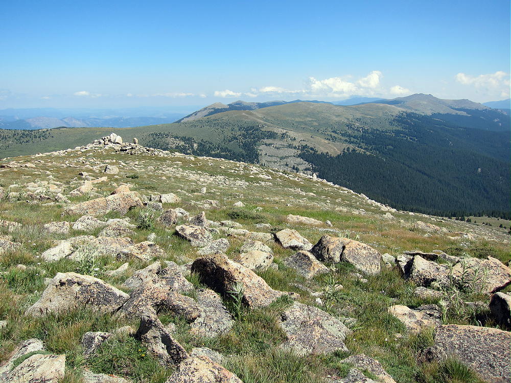
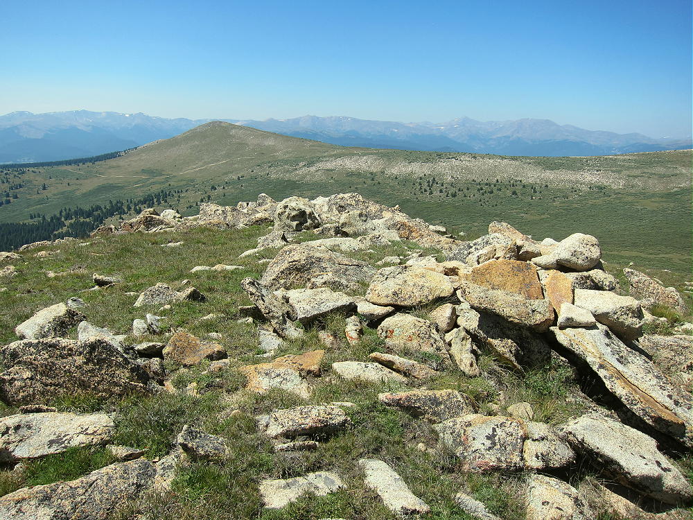
  • W0C/SP-049 (South Twin Cone) – 3761 m / 12340 ft

    W0C/SP-049
    South Twin Cone Peak
    3761 m / 12340 ft
    First Activation
    Aug 19, 2015

    By KX0R

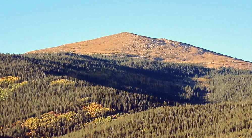
    South Twin Cone Peak is a prominent alpine summit in the Lost Creek Wilderness, about 4 miles east of Kenosha Pass.

    Key points:

    • Pleasant alpine peak
    • Seldom climbed
    • No trail to the top
    • Navigation and route-finding required
    • Access via dirt road from Kenosha Pass
    • Road requires moderately high clearance vehicle
    • Accessible in summer and fall
    • Fine HF site
    • ~11.4 miles round-trip to the summit via my route
    • ~ 2000 feet total vertical gain
    • With a 4WD high-clearance vehicle, the hiking distance can be reduced

    Driving Directions:

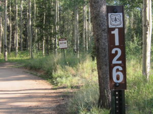
    First drive to Kenosha Pass via Highway 285. Turn east onto Forest Road 126 at the Pass. FR 126 begins as an easy 2WD dirt road.

    Follow the road into the Kenosha Creek drainage and continue upstream. The road crosses a ford in the creek – this is a big pile of rocks. Only cars with adequate clearance – at least 5 inches – can drive over these rocks without possible damage. Some of the land in the valley along the road is private, but it’s OK to pass through to the National Forest.

    About three miles from Highway 285, at 10,400 feet, FR 126 leaves the creek and heads up a series of steep switchbacks. The road quickly gets steeper and rockier. Depending on your vehicle, you might be wise to park near the first switchback, before the road gets more serious – I did this. There are more large rocks as the road ascends, but a careful driver should be able to drive a high-clearance vehicle higher than I did, even without 4WD.

    Either drive or hike up the switchbacks as the road climbs the southwest side of North Twin Cone Peak. Continue along the rocky 4WD road toward North Twin Cone. There are several nice campsites along this road.

    After climbing above 11,300 feet, the road descends east about 200 vertical feet for about 2/3 mile into the upper Kenosha Creek drainage, south of North Twin Cone and west of South Twin Cone.

    From the obvious turn-around and parking spot, FR-126 ascends a long, steep, rocky 4WD hill.

    Only experienced drivers with very-high-clearance vehicles should attempt to drive up the rough trail toward North Twin Cone Peak. It’s more practical to park and hike up!

    Hiking Directions:

    To reach South Twin Cone, leave the jeep trail south of North Twin Cone at about 11,800 feet, and hike east across the tundra. There’s no marked route, but there are hints of a path. Heading east too soon leads into a big willow swamp.

    It’s not necessary to climb all the way east, up to the ridge between North and South Twin Cones. The upper part of the willows area is sparse, and animal paths lead through the thickets. The best route to South Twin Cone may depend on the season and conditions.

    It might be possible to short-cut east from the jeep road at 11,200 feet and climb up the forested southwest ridge of South Twin Cone, but I don’t know if this is a practical route. I chose to hike via the North Twin Cone road, because it’s mostly easy and open all the way.

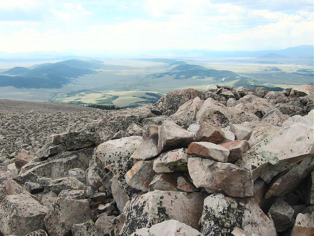
    Above about 11,600 feet the area is mostly alpine meadows filled with rocks and wildflowers. The upper part of South Twin Cone is an easy climb over tundra and large rocks. The large, rounded summit slopes gently to the east – the activation zone is spacious. Some shelter from wind is provided by large rocks and the summit itself. The views are spectacular. Alpine terrain extends southeast for miles into the wilderness.

    Details:

    South Twin Cone is a fine HF radio site. There’s little blockage of HF signals in any direction, and the ground slopes down at a nice angle. The HF noise level is very low – there’s almost no development for miles. This high site probably is not a very good VHF/UHF site; but it may have limited coverage of the Front Range foothills, parts of the eastern Plains, some of the Denver Metro area, and areas to the southeast. Coverage of South Park is likely good.

    There’s a small solar-powered radio facility on North Twin Cone. I experienced no HF noise from this site.

    I made 23 HF contacts on four bands during my SOTA activation of South Twin Cone. It was fun to operate from this wonderful high spot on a sunny, dry day. I saw no one after I left my car. It’s surprising how many nice, accessible mountains are seldom visited!

    In bad weather, South Twin Cone may experience lightning storms, high winds, hail, and snow; this mountain is best climbed in dry, stable weather. The descent route is high and exposed to the weather for a long distance.

    I started the hike at 10:22 AM from where I parked on the road at 10,400 feet, and I reached the summit at 12:58 PM. On a day with storms this would have been way too late for a SOTA activation! Because of the drive and the length of the hike, South Twin Cone may require a very early start if storms are likely. It will be a long day.

    While there are other SOTA peaks in the area of South Twin Cone, it would be difficult to do a dual activation with another summit. Possibilities include:

    W0C/SP-070 11356 6 miles NW, off Hall Valley Road
    W0C/FR-062 Mount Bailey 10 miles east, off 285 near Bailey

    Camping nearby might make it practical to activate multiple summits in the area. Numerous forest campgrounds and campsites are within a few miles of Kenosha Pass.

    South Twin Cone is a fine SOTA peak with reasonable access. The low-noise alpine summit and wildflower-meadows are really nice! The only reason it’s not quite a “SOTA Classic” is that the long hike runs for miles along a jeep road. I’m planning to come back!

    73

    George Carey Fuller
    KX0R


    ATTENTION !! WARNING !! There are old mountaineers, and bold mountaineers… there are no old-bold mountaineers. Hiking and mountain climbing are potentially hazardous activities particularly in Colorado with its extreme elevations. I am not accepting responsibility for any death or injury resulting from activations based on my trip reports. Proper training, experience, and personal capability assessment is required – enjoy!
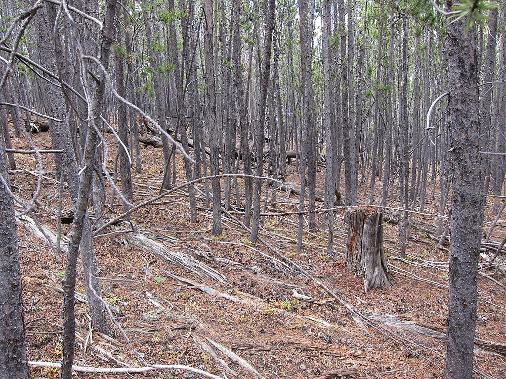
  • W0C/SP-046 (Volz Benchmark) – 3837 m / 12589 ft

    W0C/SP-046
    Volz Benchmark
    3837 m / 12589 ft
    First Activation
    Aug 15, 2016

    By KX0R

    Volz Benchmark is a moderately challenging alpine summit near Boreas Pass, south of Breckenridge.

    Pike National Forest
    • High altitude hike
    • No marked trail to the summit
    • Route-finding required
    • Fine alpine scenery
    • Excellent HF site
    • ~3.1 miles round-trip
    • ~1650 vertical feet total

    Driving Directions:

    • Drive west on Highway 285 and cross Kenosha Pass
    • Continue west on Highway 285 about 11 miles
    • Turn north on CR 33 and drive about ½ mile to Como
    • Pass through Como and drive up CR 33 about 9 miles to Boreas Pass at 11482 feet
    • The route follows a historic narrow gage rail line and continues all the way across to Breckenridge
    Boreas Pass Road CR 33 also can be reached by driving up from Breckenridge and I-70 to the north
    • CR 33 is an OK unpaved road, with several rough, rocky sections, but most cars can make the trip along the railway roadbed
    • Do not drive all the way up to the pass
    • Park at Selkirk Gulch, at 10,960 feet, where the road takes a broad bend to the left as it goes across a small creek.
    • This spot is about 1 mile north of the marked left turn, northwest, where FR-801 goes down to Selkirk Campground.
    • This is the “trailhead”

    The hike and climb:

    • Google Maps shows none of the hiking trails near Boreas Pass
    • GPS is very useful in this area
    • The hike begins on the south side of Selkirk Creek.
    • An old closed road runs northeast up the creek to a large meadow at almost 11,200 feet.


    • Continue hiking up the steep valley that ascends east from the upper part of the meadow. Don’t follow the north drainage.

    • A good game trail leads all the way up the valley to a high saddle at almost 12,000 feet.


    • From the saddle, hike south up the broad ridge for about ½ mile, following the easiest route available, up to a saddle at about 12,450 feet.

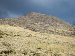
    • The rocky northwest peak is Volz Benchmark.
    • The southeast peak is a slightly lower sub-peak.
    • Climb up a rough path through the talus to the rocky top of Volz

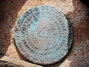
    • A USCGS benchmark from 1951 marks the summit – it says “VOLZ”.

    Additional Details:

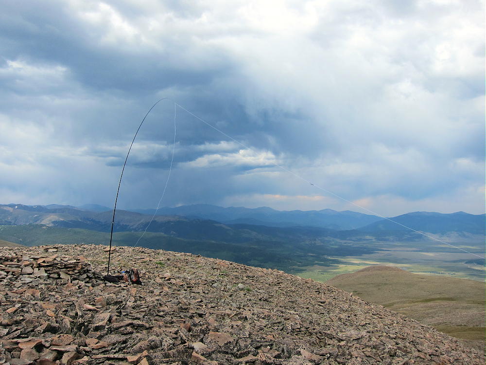
    Few people visit this prominent, pleasant peak. A large cairn is near the summit, and a tiny wind shelter is available nearby; a register container is there. I guyed my pole to some rocks and set up my SOTA radio gear in the lee of the wind shelter. Some dark clouds were developing, so I couldn’t stay on too long, but I made 24 CW contacts on three HF bands.

    Volz is a fine HF summit. It falls away in all directions, and the noise level is very low. Almost no development is visible nearby. This peak is likely a fair VHF/UHF summit, with coverage across much of South Park.

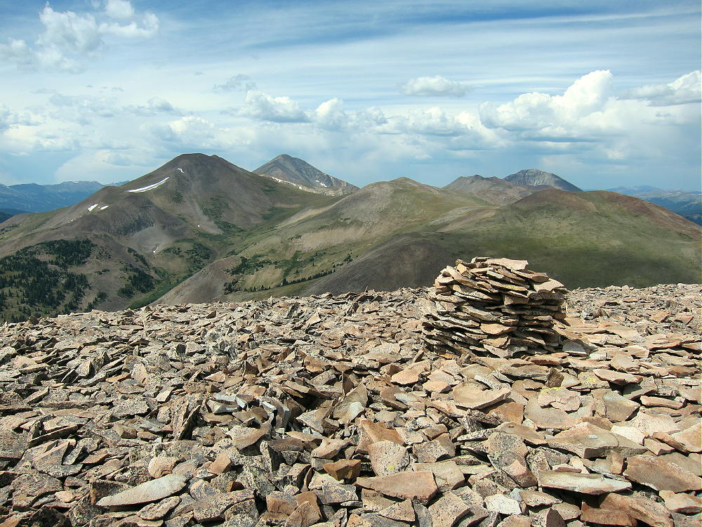
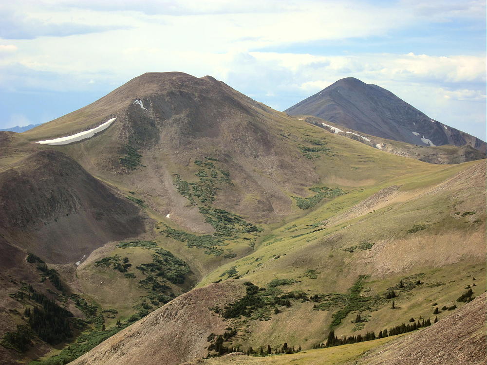
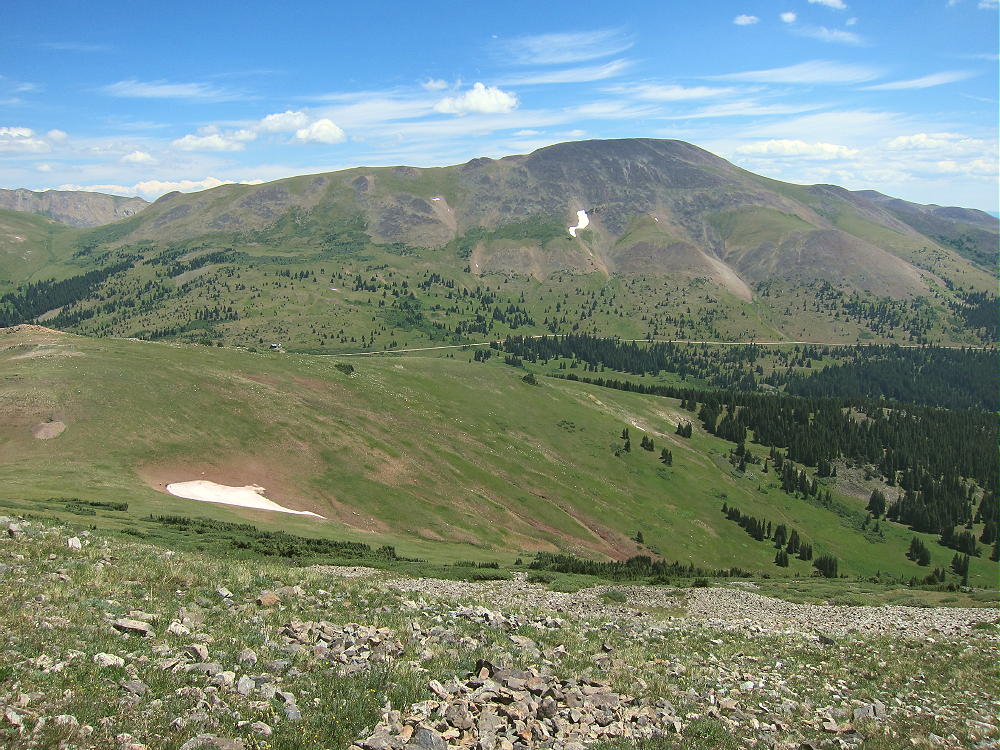
    The summit offers great views of several higher peaks and parts of South Park below. Boreas Mountain stands about 2 miles to the north, and Bald Mountain stands much higher behind it.

    The top of Mount Guyot looms across a high ridge east of Bald Mountain in the north. The views of the high Divide to the southwest are nice – Red Peak, Hoosier Ridge, and huge Mount Silverheels. Volz’s sub-peak stands nearby across the saddle, and it appears to have a cairn on top.

    Clearly there’s a decent route from CR 33 up the drainage on the southwest side of Volz. The “trailhead” for that route is about ¼ mile down the road from Selkirk Creek. It might be a better route for early in the year – more on the sunny side.

    For a dual activation, consider these nearby summits:

    Madonna Dome W0C/SP-051 – Easy – TH at Boreas Pass

    Boreas Mountain W0C/SP-030 – Challenging – TH at Boreas Pass

    Little Baldy Mountain W0C/SP-054 – Challenging – south several miles

    Bald Mountain W0C/PR-019 – Very challenging – TH at Boreas Pass

    I climbed and activated Volz after doing Little Baldy, and it was a full, very fun day!

    73

    George
    KX0R


    ATTENTION !! WARNING !! There are old mountaineers, and bold mountaineers… there are no old-bold mountaineers. Hiking and mountain climbing are potentially hazardous activities particularly in Colorado with its extreme elevations. I am not accepting responsibility for any death or injury resulting from activations based on my trip reports. Proper training, experience, and personal capability assessment is required – enjoy!
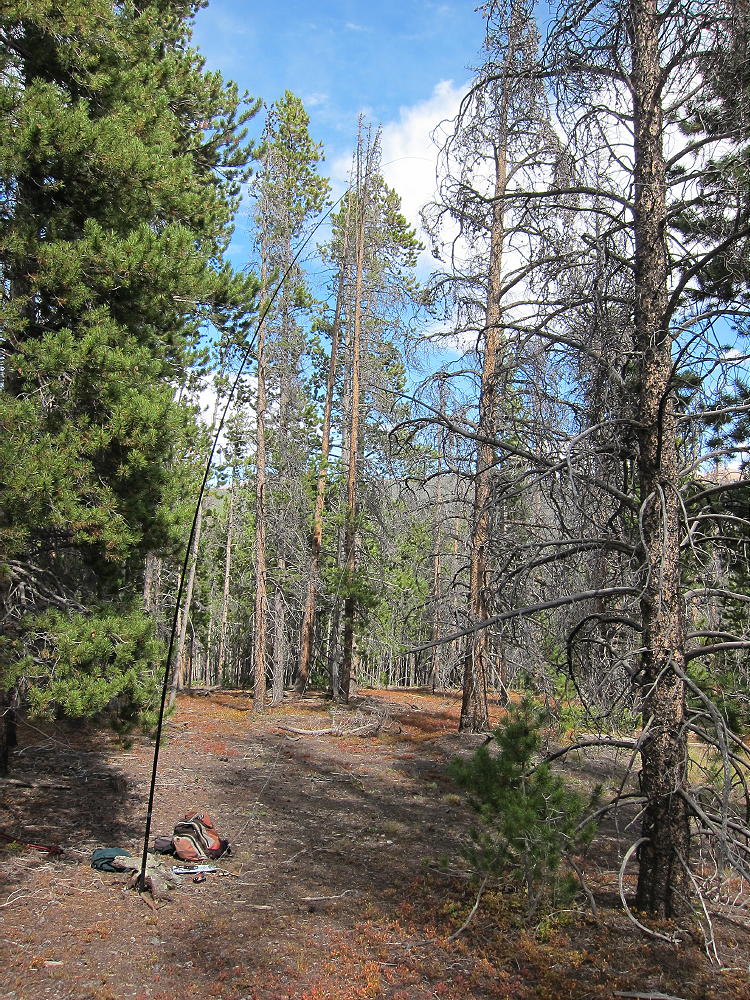
  • W0C/SP-054 (Little Baldy Mountain) – 3701 m / 12142 ft

    W0C/SP-054
    Little Baldy Mountain
    3701 m / 12142 ft
    First Activation
    Aug 15, 2016

    By KX0R

    Little Baldy Mountain is the prominent bald-topped peak standing above Como, in South Park.

    Key Points:

    Pike National Forest
    • Access via Gold Dust Trail
    • No marked trail up the north ridge
    • Route finding required
    • Game trails and bushwhacking
    • ~ 5.5 miles round-trip
    • ~ 2000 vertical feet
    • Seldom visited
    • Superb HF site

    Driving Directions:

    • Drive west on Highway 285 and cross Kenosha Pass
    • Continue west on Highway 285 about 11 miles
    • The Pike National Forest visitor map is very helpful in this area
    • Turn north on CR 33 and drive about ½ mile to Como
    • Continue on CR 33 up the Tarryall Creek drainage for about 3 miles to a marked split where CR 33 heads off to the right, NW, toward Boreas Pass
    Roberts Cabin is near this split
    • Don’t follow CR 33 right at this intersection, but continue straight on CR 50 northwest along Tarryall Creek for about 1.5 miles
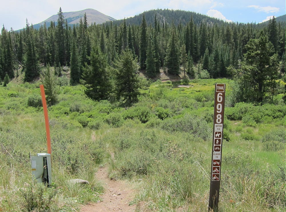
    • Look for a marker on the south side of the road for Trail 698, the Gold Dust Trail

    • The Gold Dust Trail crosses the road at this point – this is the trailhead – park on the north side of the road
    • Most of the land along the creek and the road is private, and the Gold Gust Trail 698 provides convenient, legal access to the National Forest land south of the creek

    The Hike and the Climb:

    • Google Maps show none of the hiking trails in this area, and the Gold Dust Trail 698 and trailhead are not shown
    • All the trails and creeks are shown on the Pike National Forest visitor map
    • GPS is also very useful in this area
    • Hike south from the trailhead on Trail 698
    • Cross Tarryall Creek on a convenient wood bridge

    • This bridge is visible on Google satellite images, and is the key to the whole trip – this is how I found the Gold Dust trailhead!
    • Follow the Gold Dust Trail 698 southeast for about ½ mile to a trail junction – Trail 614 splits off and heads west up Silverheels Creek.
    • Cross Silverheels Creek and continue southeast on Gold Dust Trail 698 for about 0.4 mile to South Tarryall Creek

    • Cross the creek and walk southeast along Trail 698 for about 100-200 feet.
    • Leave the trail and head south, uphill, through mostly open forest

    • This route is gentle at first, but the hike becomes steeper and tougher as it ascends south up the long north ridge of Little Baldy.
    • Visibility is limited; it’s important to stay on the ridge and keep climbing south.
    • Some bushwhacking is inevitable in dense parts of the forest.
    • At about 10,800 feet the ridge gets steeper, but the route ahead can be seen
    • The hardest part of the climb is up through the forest from 10,800 to 11,500 feet – use the available game trails and stay on the ridge.

    • Above 11,500 feet the grade is less steep.
    • Climb south via faint game trails, up tundra and talus of the open, spectacular north ridge, to the summit area

    • The actual peak is at the top of a rocky knoll on the west side of the broad mountaintop
    • Climb carefully over boulders to the top of this knoll.

    Additional Details:

    As far as I can tell, there’s no public route up the south or east side of Little Baldy. There’s likely access on the steep west side via either FR-194 or Trail 614, but I see no advantage to either route. The north ridge route is challenging but relatively efficient. Stay on the ridge – avoid the deadfall and thickets of the steep northeast slopes.

    The forest on the north side holds snow for many months of the year, so the north-side ascent is best done during the summer or fall.

    There are some good spots for setting up radio gear near the summit knoll. I set up on the south side to reduce the wind. Setting up on the knoll provides some additional height for an antenna.

    Little Baldy Mountain is a near-perfect HF radio site. It falls away in all directions, and the noise level is very low. Little development is nearby. This peak is likely a fair VHF/UHF summit, with coverage across much of South Park.

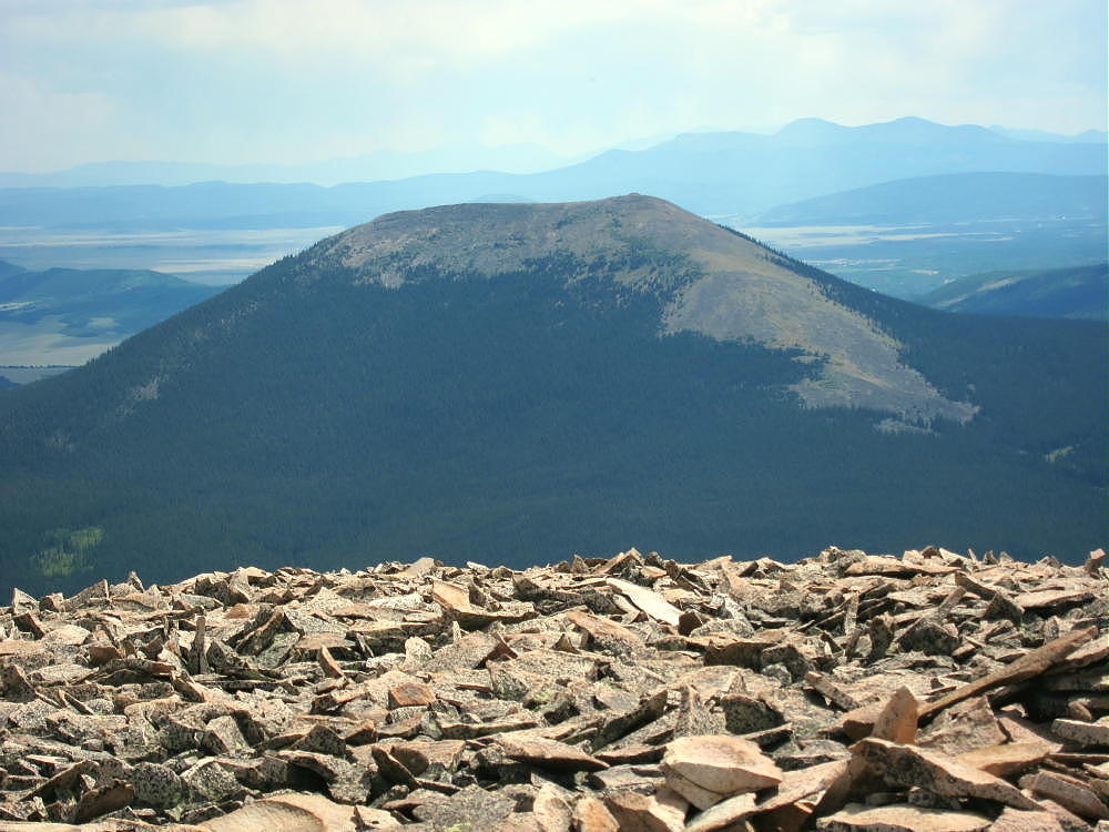
    The peak offers great views of several higher peaks and South Park. Boreas Mountain stands east of the Pass to the north, and Bald Mountain stands higher behind it. Mount Silverheels is impressive to the west, with Hoosier Ridge north of it. Reinecker Ridge and Red Hill extend more miles to the south. Pikes Peak and Mount Evans are visible many miles to the east.

    For a dual activation, consider these nearby summits:

    Madonna Dome W0C/SP-051 Easy – start at Boreas Pass
    Boreas Mountain W0C/SP-030 Challenging – start at Boreas Pass
    Volz Mountain W0C/SP-046 Challenging – start along CR 33

    I activated Volz after Little Baldy, and it was a full, very fun day!

    73

    George
    KX0R


    ATTENTION !! WARNING !! There are old mountaineers, and bold mountaineers… there are no old-bold mountaineers. Hiking and mountain climbing are potentially hazardous activities particularly in Colorado with its extreme elevations. I am not accepting responsibility for any death or injury resulting from activations based on my trip reports. Proper training, experience, and personal capability assessment is required – enjoy!
  • W0C/SP-030 (Boreas Mountain) – 3987 m / 13,082 ft

    W0C/SP-030
    Boreas Mountain
    3987 m / 13,082 ft
    Aug 1, 2016

    By KX0R

    Boreas Mountain is a challenging alpine summit near Boreas Pass, south of Breckenridge.

    Pike National Forest
    • High altitude hike
    • No marked trail to the summit
    • Route follows the Continental Divide part way
    • Fine alpine scenery
    • Excellent HF site
    • 3.3 miles round-trip
    • ~1550 vertical feet total

    Driving access:

    • Drive west on Highway 285 and cross Kenosha Pass
    • Continue west on Highway 285 about 10 miles
    • Turn north on CR 33 and drive about ½ mile to Como
    • Pass through Como and drive up CR 33 about 9 miles to Boreas Pass at 11482 feet
    • The route follows a historic narrow gage rail line and continues all the way across to Breckenridge
    • CR 33 is an OK unpaved road, with several rough, rocky sections, but most cars can make the trip along the railway roadbed
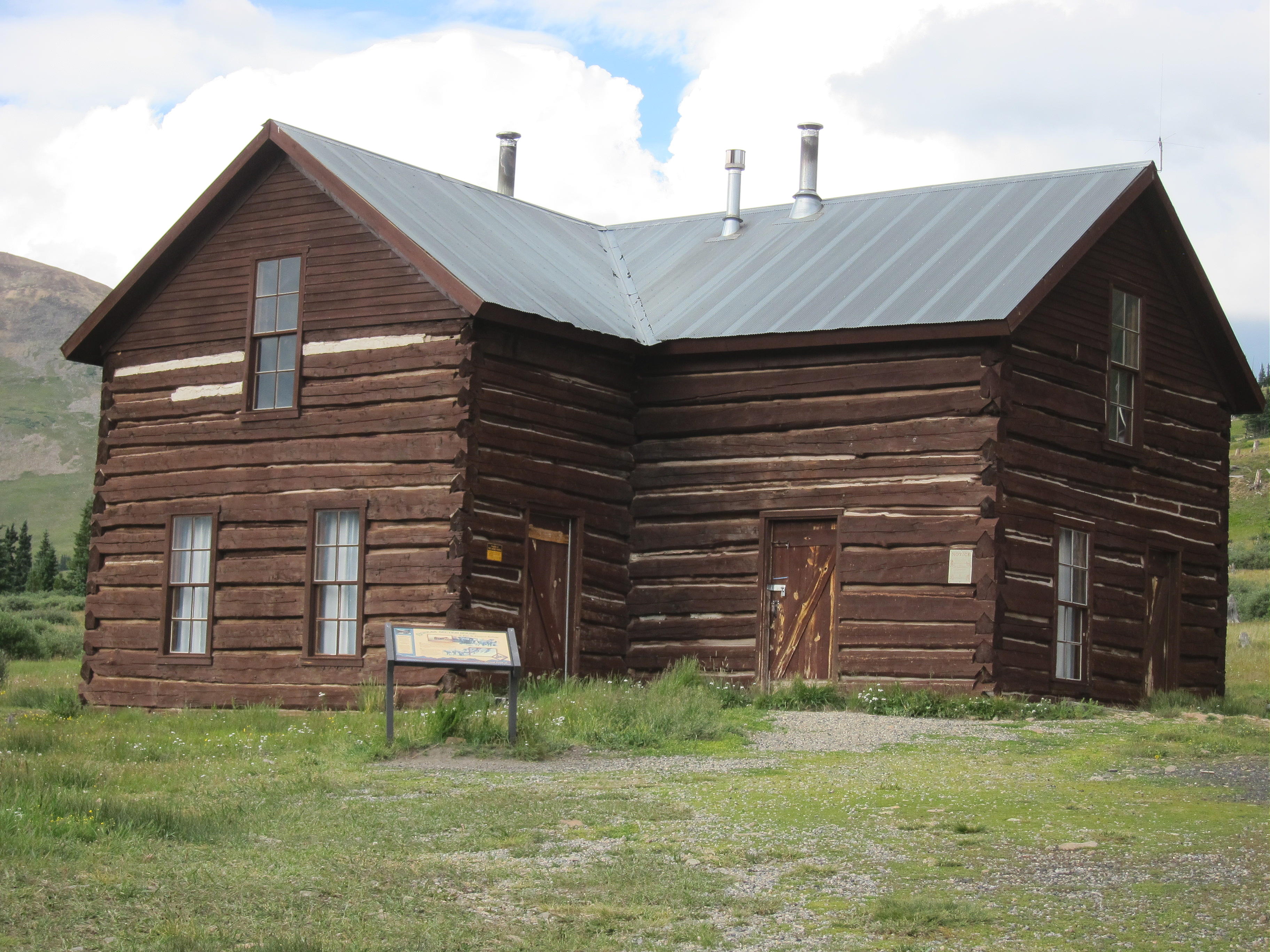
    • Park off the road at Boreas Pass, near the old Section House
    • This is the trailhead

    The hike and climb:

    • Google Maps shows none of the hiking trails near Boreas Pass
    • GPS is very useful in this area
    • Hike east from the Section House up through meadows toward the north ridge of Boreas Mountain
    • This route follows the Continental Divide
    • At about 12,000 feet the grade becomes steep
    • Follow game trails up through the rocky tundra toward the north sub-peak
    • Avoid the obvious talus slopes – stay in the green area
    • Pass southwest below a small sub-peak
    • At about 12,600 feet, traverse southeast up toward the summit ridge
    • Head south up a long, shallow valley west of the summit ridge


    • Follow convenient old trails in the rocks
    • The summit is the highest bump near the south end of the rocky summit ridge
    • Climb up the rock pile to the top
    • There’s a convenient wind shelter on the peak

    Additional Details:

    Not many people climb Boreas Mountain. The off-trail route up to the ridge is steep and rocky. There are a few game trails that lead up through the tundra. The hike gets easier toward the top – the hike up the shallow valley is pleasant. The old trails may date from the mining days, but I didn’t see much evidence of mines up there.

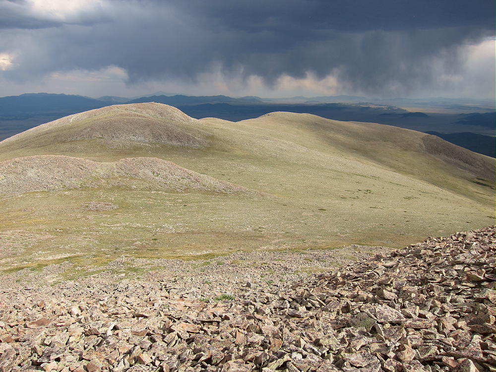
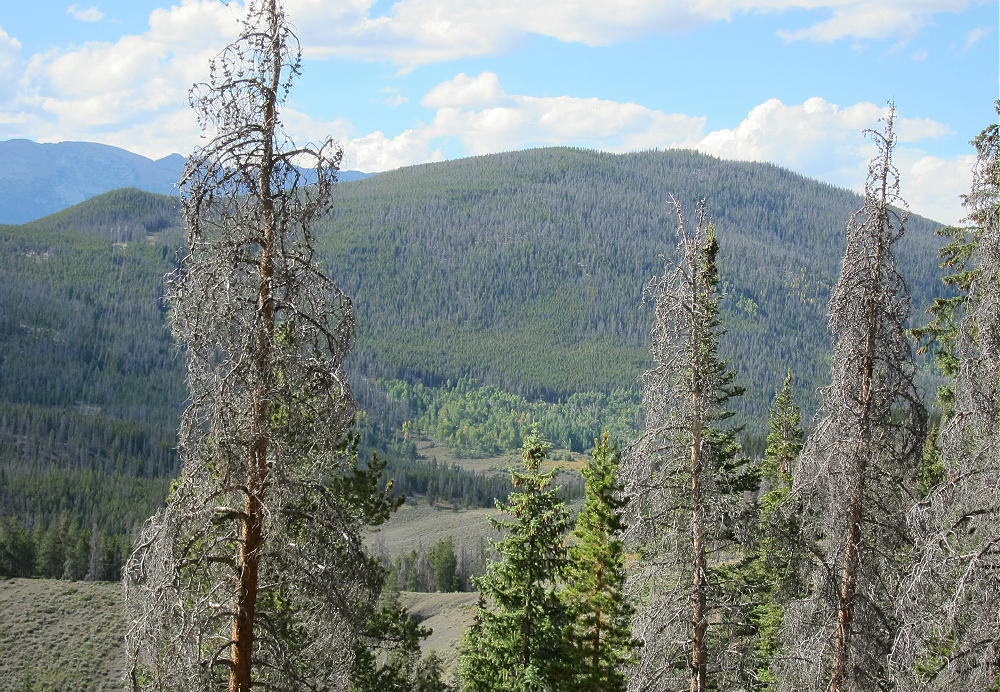
    The entire summit ridge appears to be made of reddish intrusive igneous rock. It makes almost musical tones, like pieces of ceramic, as you hike over it. Most of the top part of the mountain looks like a giant rock pile. The peak is about ½ mile south of the Divide.

    The summit offers great views of the surrounding peaks and most of South Park below. Bald Mountain stands much higher to the north, and Mount Guyot looks cool with its cliffs in the northeast. The views along the Divide to the southwest are interesting – Red Peak, Hoosier Ridge, Mount Silverheels, etc.

    Boreas Mountain is a fine HF summit. It falls away in all directions, and the noise level is very low. My end-fed wire worked well on top – 34 CW contacts on 4 HF bands. Partly surrounded by higher mountains, this peak is likely a poor VHF/UHF summit, with coverage limited to parts of South Park and the area near Breckenridge.

    It might be practical to climb Boreas Mountain’s north ridge via the trail from the Section House to Black Powder Pass, but I haven’t done that. The ascent up the north ridge from the Pass is partly through talus, but there might be a game trail(s) up through it.

    For a dual activation, consider these nearby summits:

    Madonna Dome  W0C/SP-051   Easy – access from Boreas Pass
    Bald Mountain     W0C/PR-019   Very challenging – access from Boreas Pass
    Volz Benchmark  W0C/SP-046  Challenging – access from CR 33

    73

    George Carey Fuller
    KX0R


    ATTENTION !! WARNING !! There are old mountaineers, and bold mountaineers… there are no old-bold mountaineers. Hiking and mountain climbing are potentially hazardous activities particularly in Colorado with its extreme elevations. I am not accepting responsibility for any death or injury resulting from activations based on my trip reports. Proper training, experience, and personal capability assessment is required – enjoy!
  • W0C/SP-051 (Madonna Dome) – 3759 m / 12331 ft

    W0C/SP-051
    Madonna Dome
    3759 m / 12331 ft
    First Activation
    Aug 1, 2016

    By KX0R

    Madonna Dome is a fun, relatively easy alpine summit near Boreas Pass, south of Breckenridge.

    Pike National Forest
    • High altitude hike
    • No marked trail to the summit
    • Route follows the Continental Divide
    • Fine alpine scenery
    • Excellent HF site
    • 2.5 miles round-trip
    • ~1000 vertical feet total

    Driving Directions:

    • Drive west on Highway 285 and cross Kenosha Pass.
    • Continue west on Highway 285 about 10 miles.
    • Turn north on CR 33 and drive about ½ mile to Como.
    • Pass through Como and drive up CR 33 about 9 miles to Boreas Pass at 11482 feet.
    • The route follows a historic narrow gauge rail line and continues all the way across to Breckenridge.
    • CR 33 is an OK unpaved road, with several rough, rocky sections, but most cars can make the trip along the railway roadbed.
    • Park off the road at Boreas Pass, near the old Section House.


    • This is the trailhead.
    • Boreas Pass also can be reached from the north, via I-70, Highway 9, and Breckenridge.

    The Hike and Climb:

    • Google Maps show none of the hiking trails near Boreas Pass.
    • GPS is very useful in this area.
    • The hike begins just to the right of and behind the C&S rail car at the Pass.
    • The route follows the Continental Divide all the way.
    • Hike southwest through willows along an unmarked road through a relatively flat area.
    • Follow the old road through some trees and up a large hill.
    • Continue up the road and across a small summit near 12,000 feet.
    • Descend southwest about 100 vertical feet to a saddle.
    • There’s an old mine part way down the hill.
    • Continue southwest up the next tundra ridge for about 1/3 miles and 400 vertical feet to Madonna Dome.
    • A cairn with a post marks the summit.

    Additional Details:

    Although Madonna Dome is easily climbed from Boreas Pass, few people visit this prominent, pleasant peak.

    The summit offers great views of several higher peaks and parts of South Park below. Broad Boreas Mountain stands east of the Pass, and Bald Mountain stands much higher to the north.

    The views along the Divide to the southwest are interesting – Red Peak, Hoosier Ridge, and Mount Silverheels.

    I set up my radio gear slightly below the summit ridge to escape the breeze. There are no trees, so I guyed my pole to some rocks. I ran the wire to the post at the summit cairn. I had a fun SOTA activation, with 37 CW contacts on four HF bands.

    Madonna Dome is a fine HF summit. It falls away in all directions, and the noise level is very low. Almost no development is visible nearby. A power line runs across the Divide on the west side, but it’s relatively quiet. This peak is likely a poor VHF/UHF summit, with coverage limited to parts of South Park and the area near Breckenridge.

    For a dual activation, consider these high summits nearby:

    Boreas Mountain W0C/SP-030 Challenging – access from Boreas Pass
    Volz Benchmark W0C/SP-046 Challenging – access from CR 33

    73

    George
    KX0R


    ATTENTION !! WARNING !! There are old mountaineers, and bold mountaineers… there are no old-bold mountaineers. Hiking and mountain climbing are potentially hazardous activities particularly in Colorado with its extreme elevations. I am not accepting responsibility for any death or injury resulting from activations based on my trip reports. Proper training, experience, and personal capability assessment is required – enjoy!
  • W0C/FR-172 (9166) – 2794 m / 9166 ft

    W0C/FR-172
    9166
    2794 m / 9166 ft
    Sep 16, 2015 First Activation
    Aug 9, 2016 Second Activation

    By KX0R

    Summit 9166 is an obscure summit near Stove Prairie, west of Fort Collins, Colorado.

    Key Points:

    • Roosevelt National Forest
    • Access via forest road
    • No marked trail
    • Game trails and serious bushwhacking
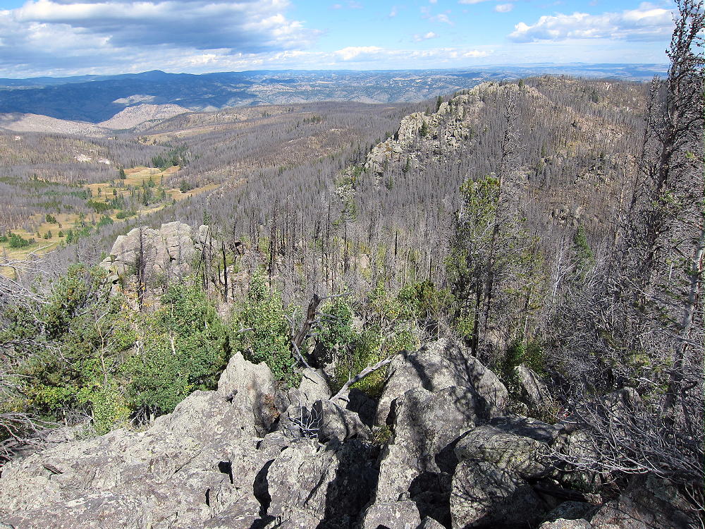
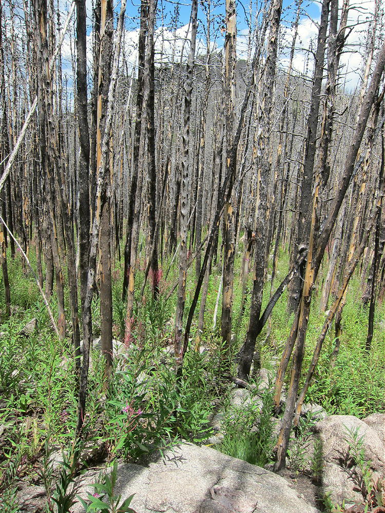
    • Burned by the High Park Fire in 2012
    • Flood damage in 2013
    • Rarely visited
    • Fine HF site
    • ~ 4.6 miles round-trip
    • ~ 1400 vertical feet

    9166 stands about 3.2 miles west of Stove Prairie. Most of the peak and the surrounding forest burned in the huge High Park Fire of 2012. The torrential rains and resulting floods of 2013 further eroded and damaged the burned area. For a long time these parts of Roosevelt National Forest were closed to recreation.

    In 2015 I learned that County Road 52E, the Old Flowers Road, was open to the public; this 4WD road provides access to 9166, as well as the National Forest further west.

    Driving Directions:

    • From Highway 287 in Loveland, drive west on Highway 34 about 6.5 miles
    • Turn north on CR 27 and continue north about 5 miles to Masonville
    • Follow CR 27 Buckhorn Road northwest about 13 miles to Stove Prairie
    • Stove Prairie also can be accessed via Rist Canyon Road 52E from Fort Collins
    • At the crossroads by the school, turn west on 2WD Road 52E
    • Follow 52E about 3 miles through private ranches to the National Forest
    • Continue west up a creek on Old Flowers Road FR-152 (4WD)
    • The trailhead is about 2 miles west of the National Forest gate near the top of a big, open saddle at 8420 feet.

    Road Details:

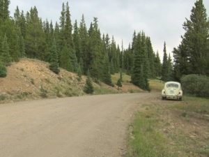
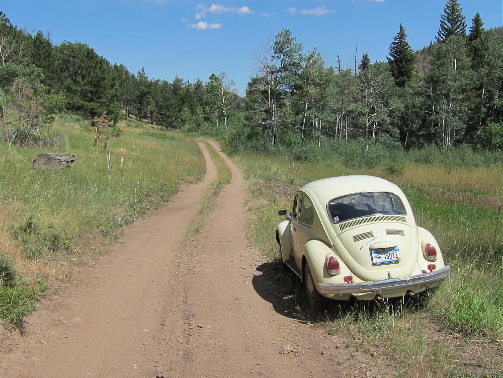
    Initially 52E is a good unpaved 2WD road; it runs through several beautiful private ranches – driving by is OK, but signs warn that no parking or trespassing is allowed. After about 2 miles, 52E goes up over a low pass; then it descends through another ranch, down to a small creek. The Old Flowers Road FR-152 leads west up the narrow valley and enters the National Forest. The road shrinks, becomes rougher, and starts to look and feel like a jeep road. I was able to drive my old VW bug over a mile, up to a steep section east of the trailhead. There are a few pullouts and informal campsites along the road.

    Where Old Flowers Road leaves the ranch property and enters the National Forest there’s a gate. Please check with the USFS to find out if the gate’s open. It’s likely closed for most of the winter and spring.

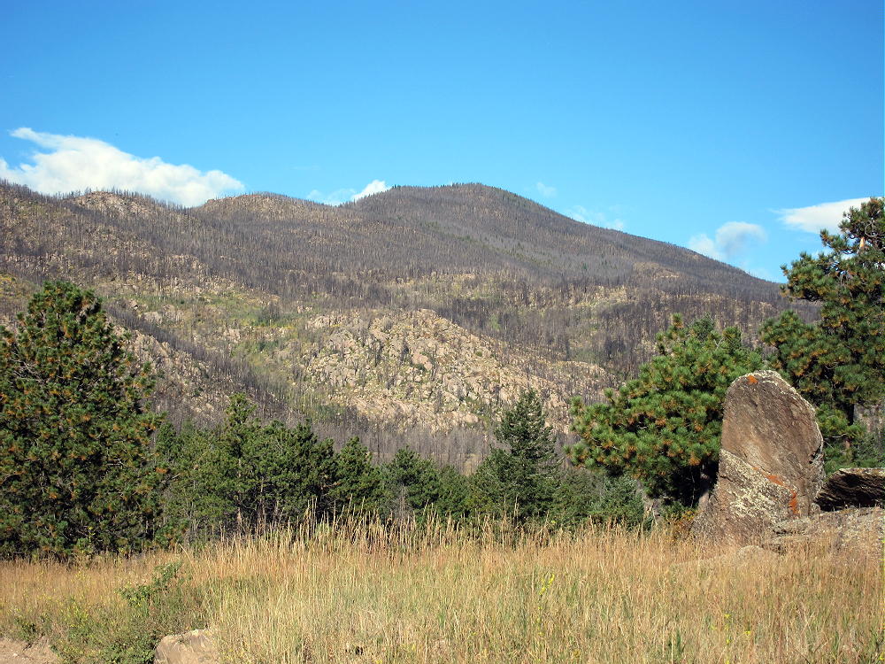
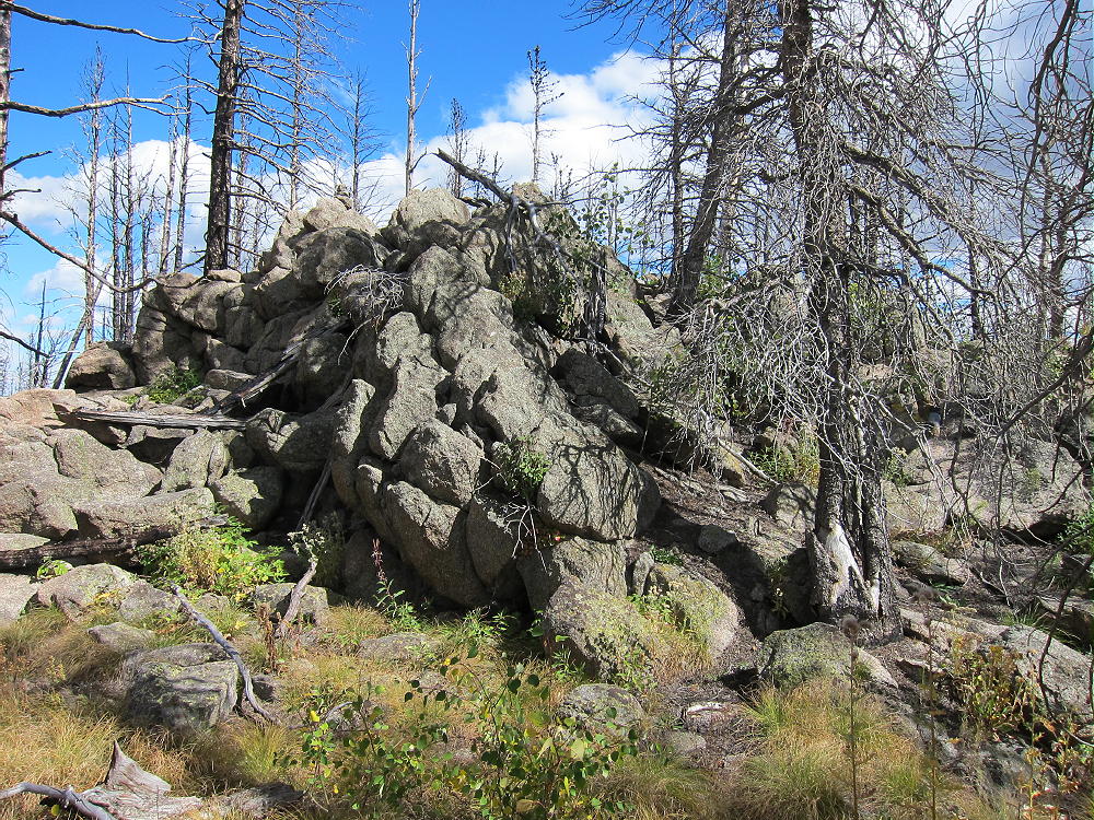
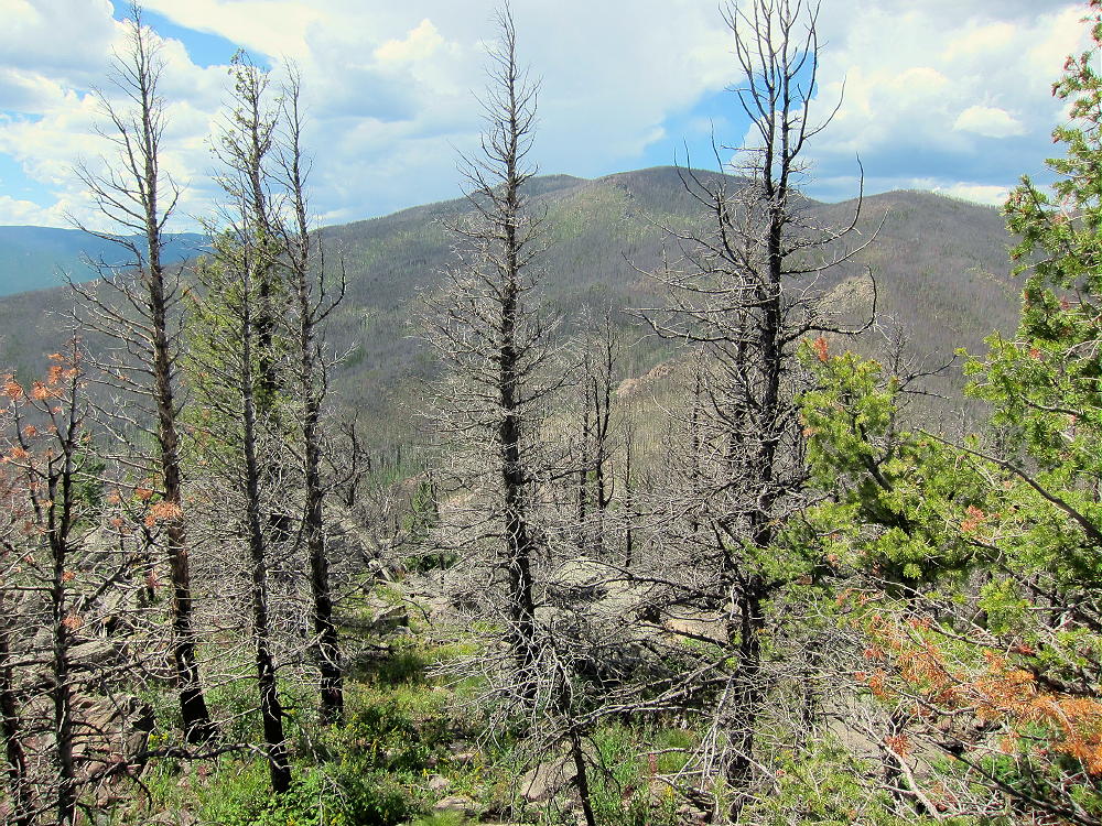
    Except near the creek, most of the forest back there is burned up. Almost all the trees are black, but most are still standing. The area is now full of weeds and other plants that came in after the fire.

    The Hike:

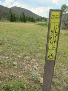
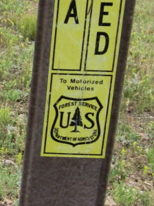
    • From the top of the pass at 8420 feet, walk west a short distance along the road to a Forest Service marker that prohibits access to motorized vehicles.

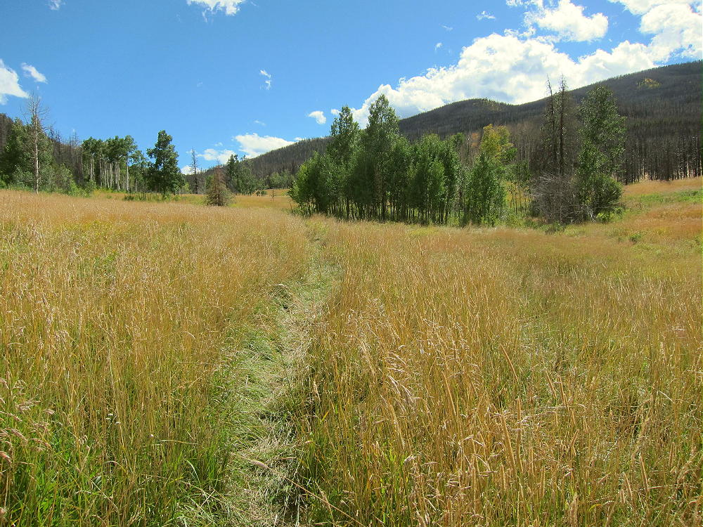
    • Hike south along a track into a huge meadow
    • Follow a game trail along the east side of the meadow for about ¼ mile

    • Head east up a draw, on a good game trail, to the saddle at 8700 feet, north of 9166

    • Hike south on rough game trails up the rocky north ridge of 9166
    • The summit is only about 0.3 miles from the saddle at 8700 feet
    • The ridge has plenty of thickets, deadfall, and other challenges

    • In spots you can choose between scrambling up big rocks or bushwhacking through hells of small trees!
    • The route gets much nicer near the summit
    • The peak’s at the top of a large rock outcrop in a relatively flat area.

    Summit Details:

    The activation zone of 9166 is large, with plenty of dead trees for supporting a pole or antenna wire. The mountain has a pretty good view east to the Plains – I could see a wind farm out near the Wyoming state line. East White Pine Mountain stands higher to the southwest, but the raised horizon is no problem in that direction. HF propagation should be fine in most other directions. There’s limited VHF/UHF coverage to the east. With no development close by, the RF noise level is very low. 9166 is an excellent SOTA peak, once you get up there.

    When I first climbed 9166 in 2015, I left FR-152 northeast of the mountain near 8000 feet and began ascending southwest up the valley there. That route was so overgrown that I climbed up to the saddle at 8700 feet on the north ridge; I continued up the ridge as described above. The route up the grassy valley northwest of the mountain is far superior to anything northeast of the peak.

    When I was on 9166 in 2015, there was no evidence that anyone had visited the peak for a long time. This is probably one of the least-visited SOTA peaks near the Front Range area.

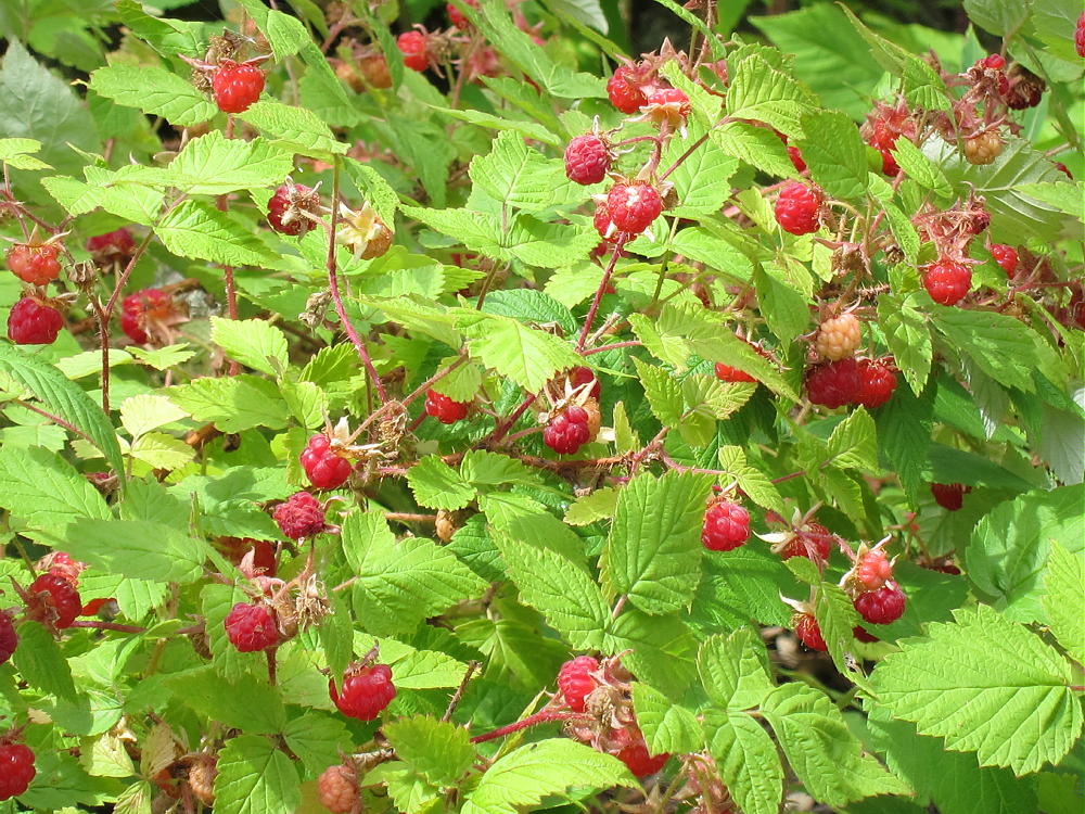
    On August 9, 2016, the north ridge and the summit area were covered with millions of ripe raspberries. It was incredible – these plants flourish after a big fire!

    9166 could be combined with other SOTA peaks in the area for a dual activation:

    W0C/FR-046 West White Pine Mountain
    W0C/FR-146 East White Pine Mountain
    W0C/FR-198 7980
    W0C/FR-097 Sheep Mountain
    W0C/FR-205 7612
    W0C/FR-088 Mount McConnel

    It might be possible to hike the burned northeast ridge of East White Pine mountain to Summit 9166 and back. It’s more than 2 miles from one summit to the other. Possibly all three summits could be done in one very long day: West White Pine, East White Pine, and 9166. The access from Old Flowers Road might work as well as the washed-out Forest Road/Trail 100 from Buckhorn Road.

    Don’t try this unless you’re Superman…the route requires miles of bushwhacking through burned forest.

    73

    George
    KX0R


    ATTENTION !! WARNING !! There are old mountaineers, and bold mountaineers… there are no old-bold mountaineers. Hiking and mountain climbing are potentially hazardous activities particularly in Colorado with its extreme elevations. I am not accepting responsibility for any death or injury resulting from activations based on my trip reports. Proper training, experience, and personal capability assessment is required – enjoy!