SOTA outings by KØMOS and contributors

Tag: South Park

  • W0C/SP-046 (Volz Benchmark) – 3837 m / 12589 ft

    W0C/SP-046
    Volz Benchmark
    3837 m / 12589 ft
    First Activation
    Aug 15, 2016

    By KX0R

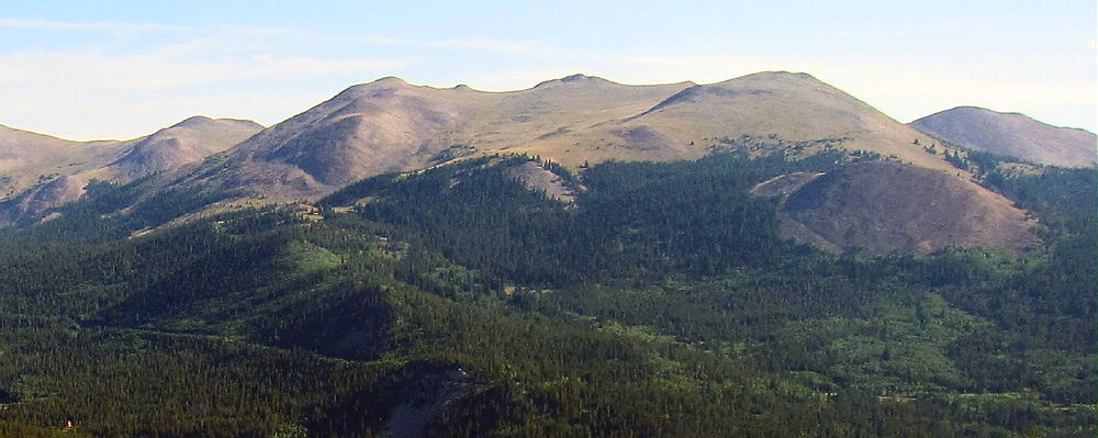
    Volz Benchmark is a moderately challenging alpine summit near Boreas Pass, south of Breckenridge.

    Pike National Forest
    • High altitude hike
    • No marked trail to the summit
    • Route-finding required
    • Fine alpine scenery
    • Excellent HF site
    • ~3.1 miles round-trip
    • ~1650 vertical feet total
    Driving Directions:

    • Drive west on Highway 285 and cross Kenosha Pass
    • Continue west on Highway 285 about 11 miles
    • Turn north on CR 33 and drive about ½ mile to Como
    • Pass through Como and drive up CR 33 about 9 miles to Boreas Pass at 11482 feet
    • The route follows a historic narrow gage rail line and continues all the way across to Breckenridge
    Boreas Pass Road CR 33 also can be reached by driving up from Breckenridge and I-70 to the north
    • CR 33 is an OK unpaved road, with several rough, rocky sections, but most cars can make the trip along the railway roadbed
    • Do not drive all the way up to the pass
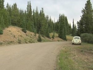
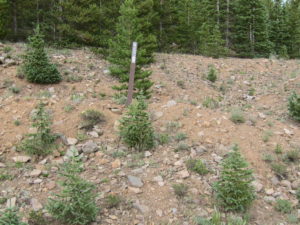
    • Park at Selkirk Gulch, at 10,960 feet, where the road takes a broad bend to the left as it goes across a small creek.
    • This spot is about 1 mile north of the marked left turn, northwest, where FR-801 goes down to Selkirk Campground.
    • This is the “trailhead”
    The hike and climb:

    • Google Maps shows none of the hiking trails near Boreas Pass
    • GPS is very useful in this area
    • The hike begins on the south side of Selkirk Creek.
    • An old closed road runs northeast up the creek to a large meadow at almost 11,200 feet.
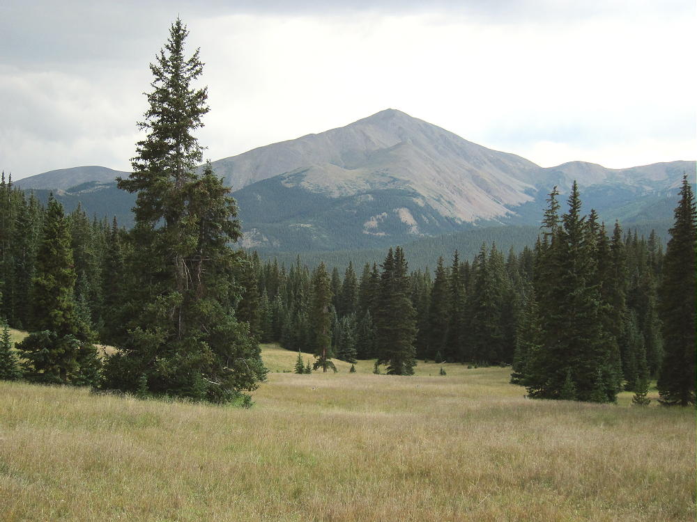

    • Continue hiking up the steep valley that ascends east from the upper part of the meadow. Don’t follow the north drainage.
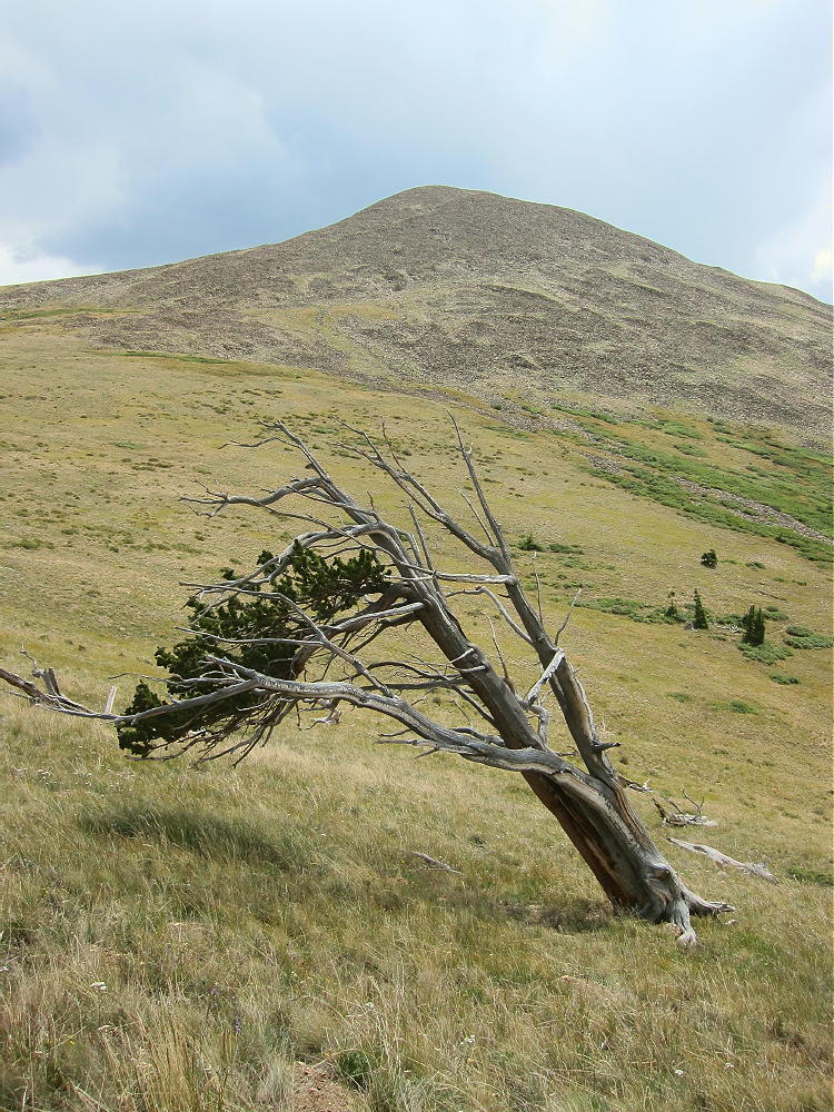
    • A good game trail leads all the way up the valley to a high saddle at almost 12,000 feet.
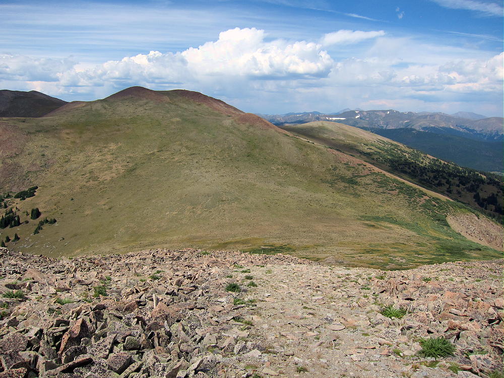

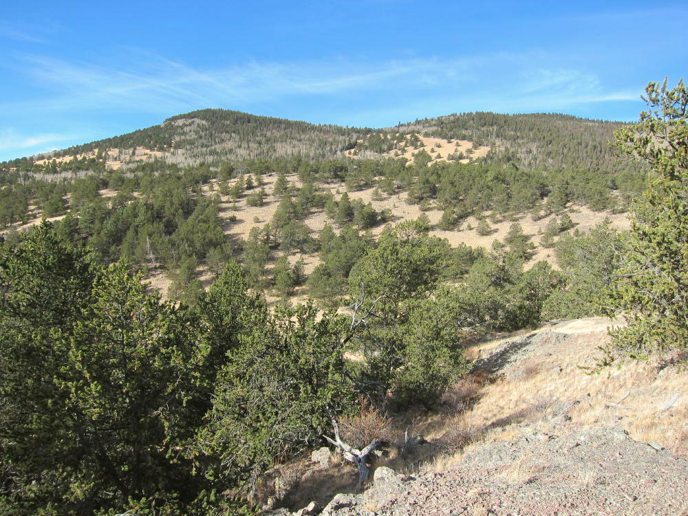
    • From the saddle, hike south up the broad ridge for about ½ mile, following the easiest route available, up to a saddle at about 12,450 feet.
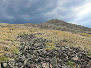
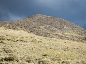
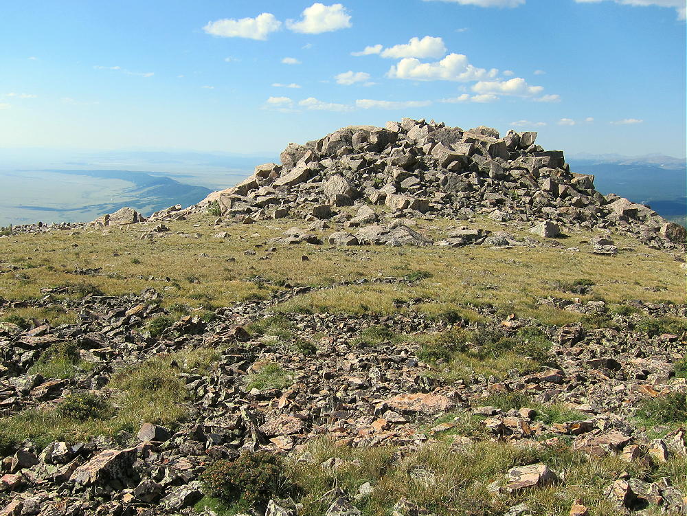
    • The rocky northwest peak is Volz Benchmark.
    • The southeast peak is a slightly lower sub-peak.
    • Climb up a rough path through the talus to the rocky top of Volz
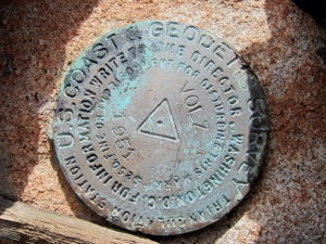
    • A USCGS benchmark from 1951 marks the summit – it says “VOLZ”.
    Additional Details:

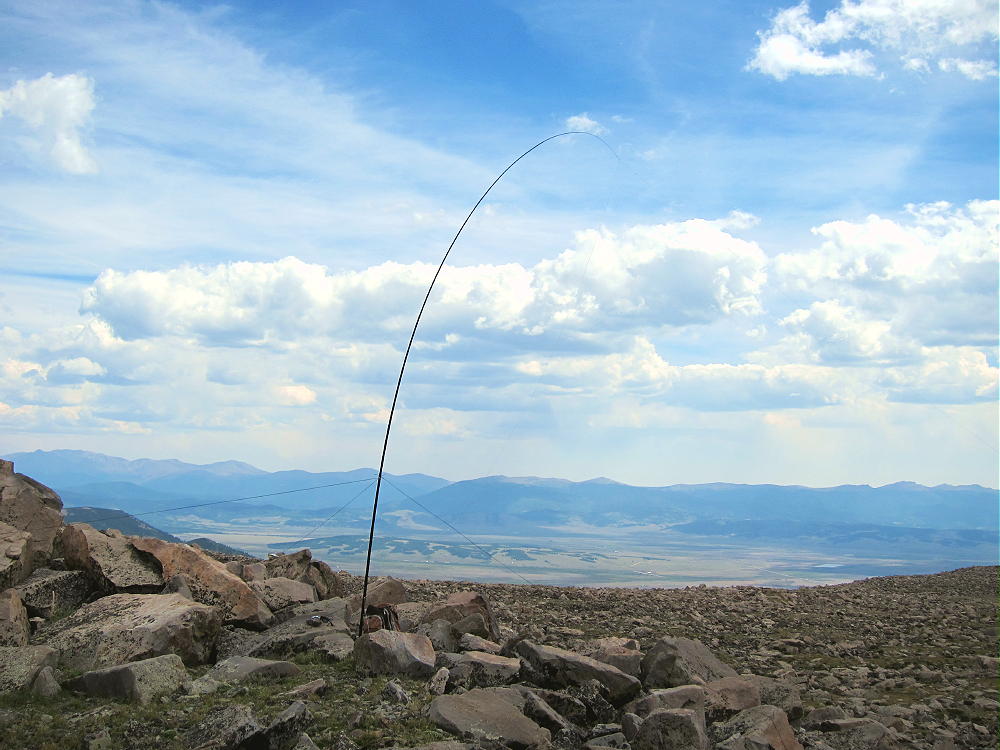
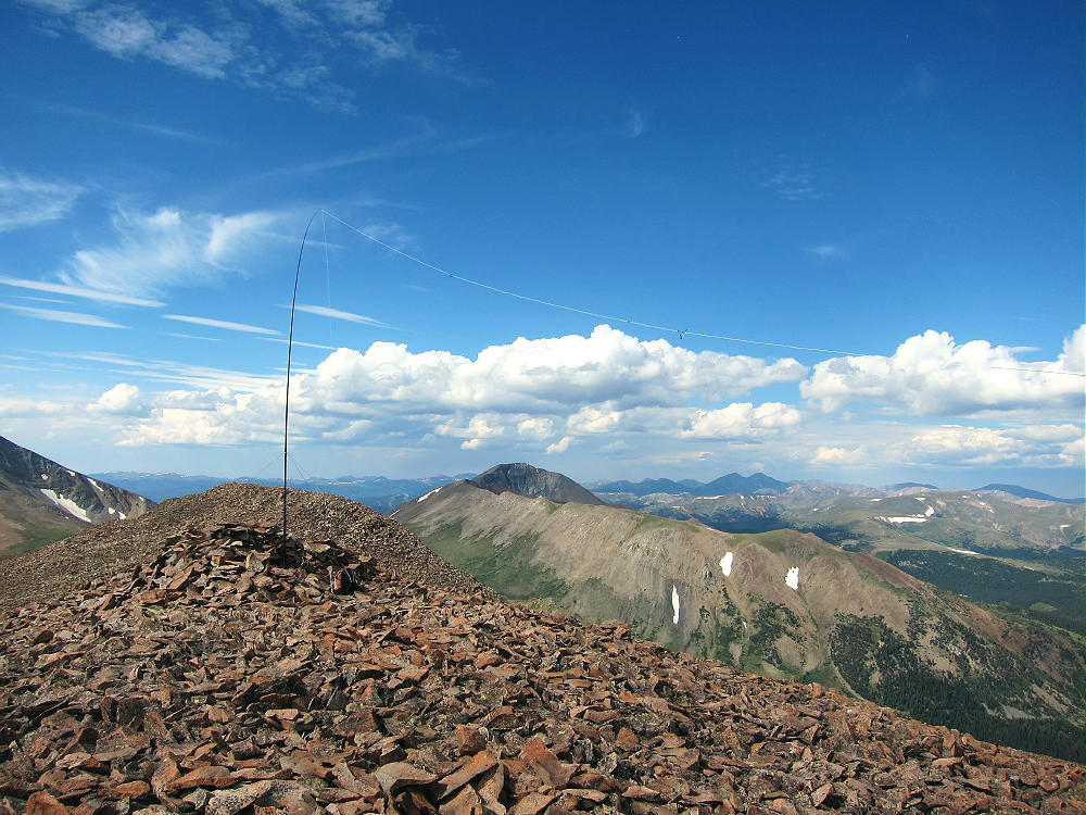
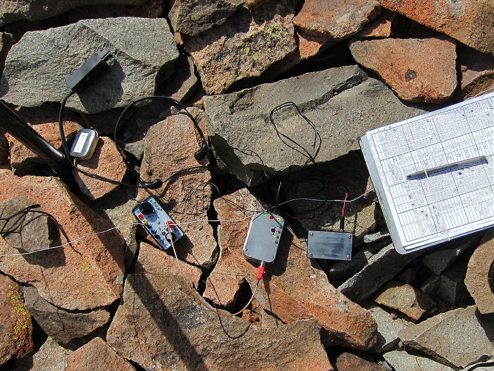
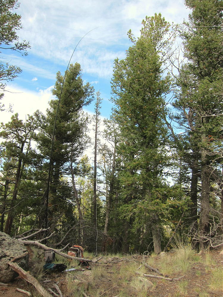
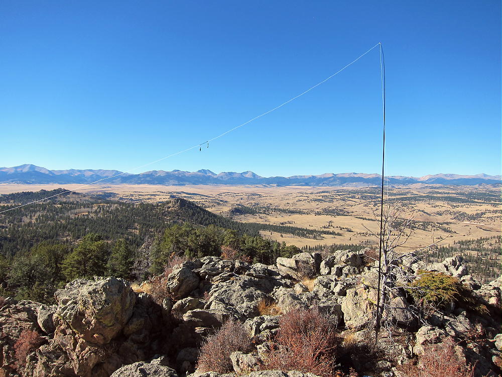
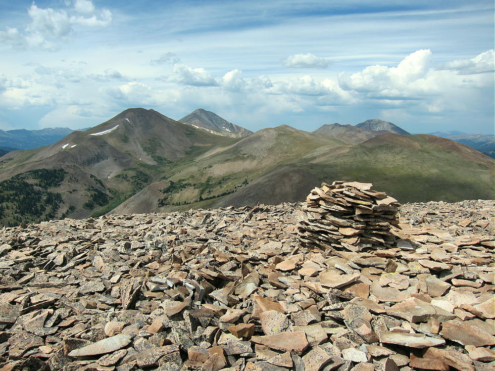
    Few people visit this prominent, pleasant peak. A large cairn is near the summit, and a tiny wind shelter is available nearby; a register container is there. I guyed my pole to some rocks and set up my SOTA radio gear in the lee of the wind shelter. Some dark clouds were developing, so I couldn’t stay on too long, but I made 24 CW contacts on three HF bands.
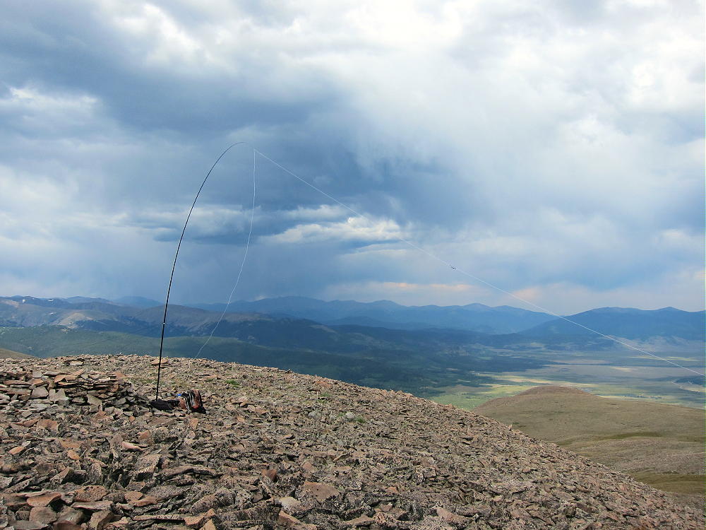
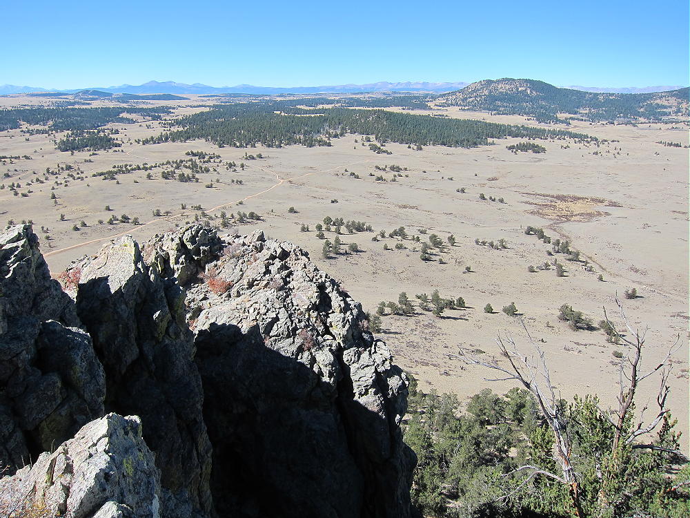
    Volz is a fine HF summit. It falls away in all directions, and the noise level is very low. Almost no development is visible nearby. This peak is likely a fair VHF/UHF summit, with coverage across much of South Park.

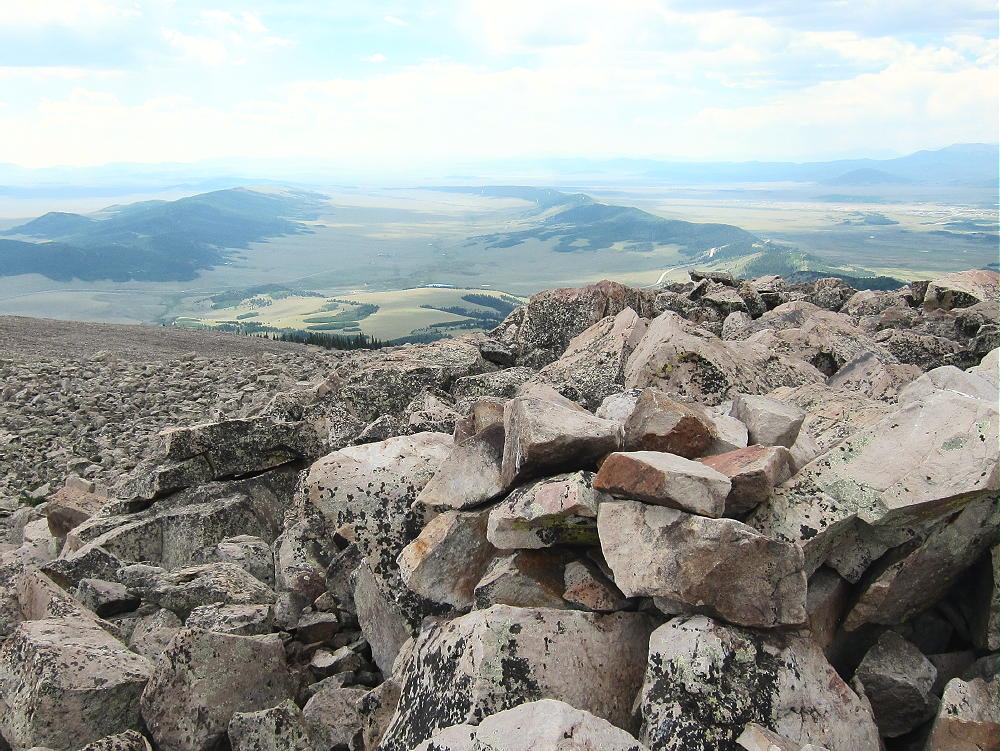
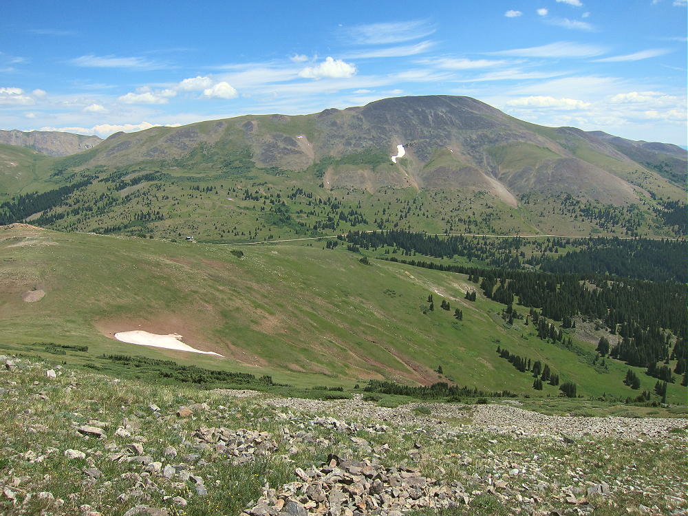
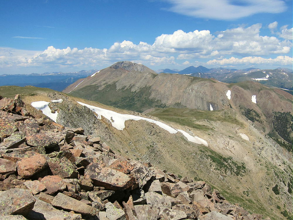
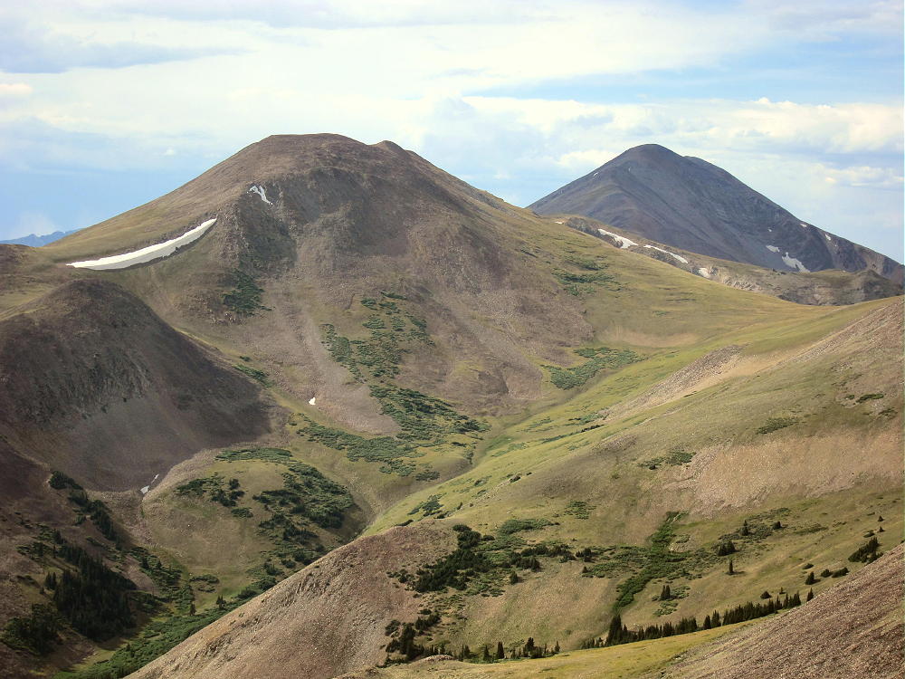
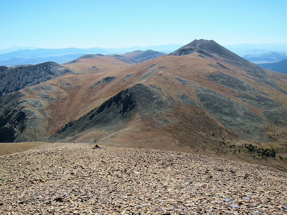
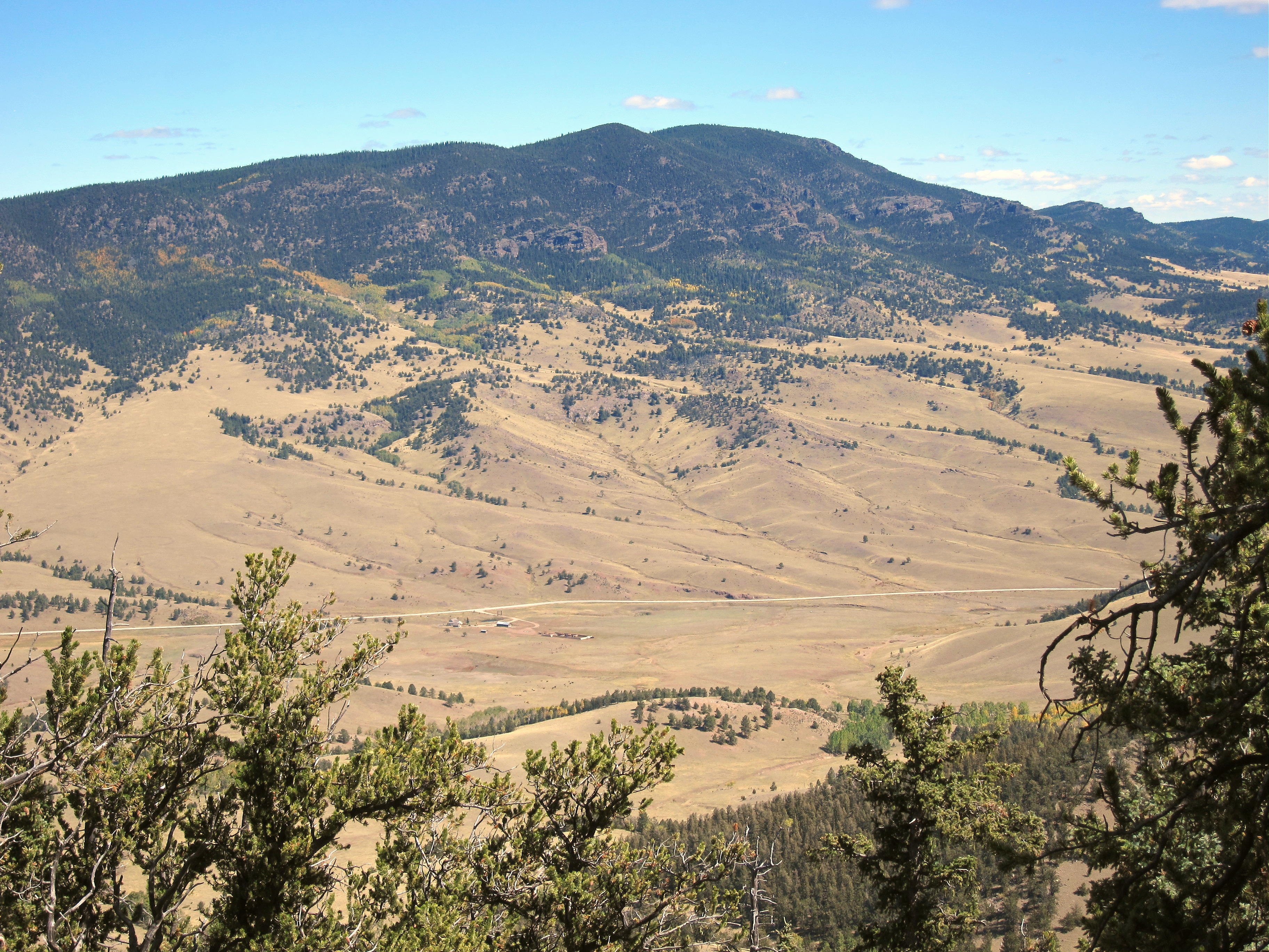
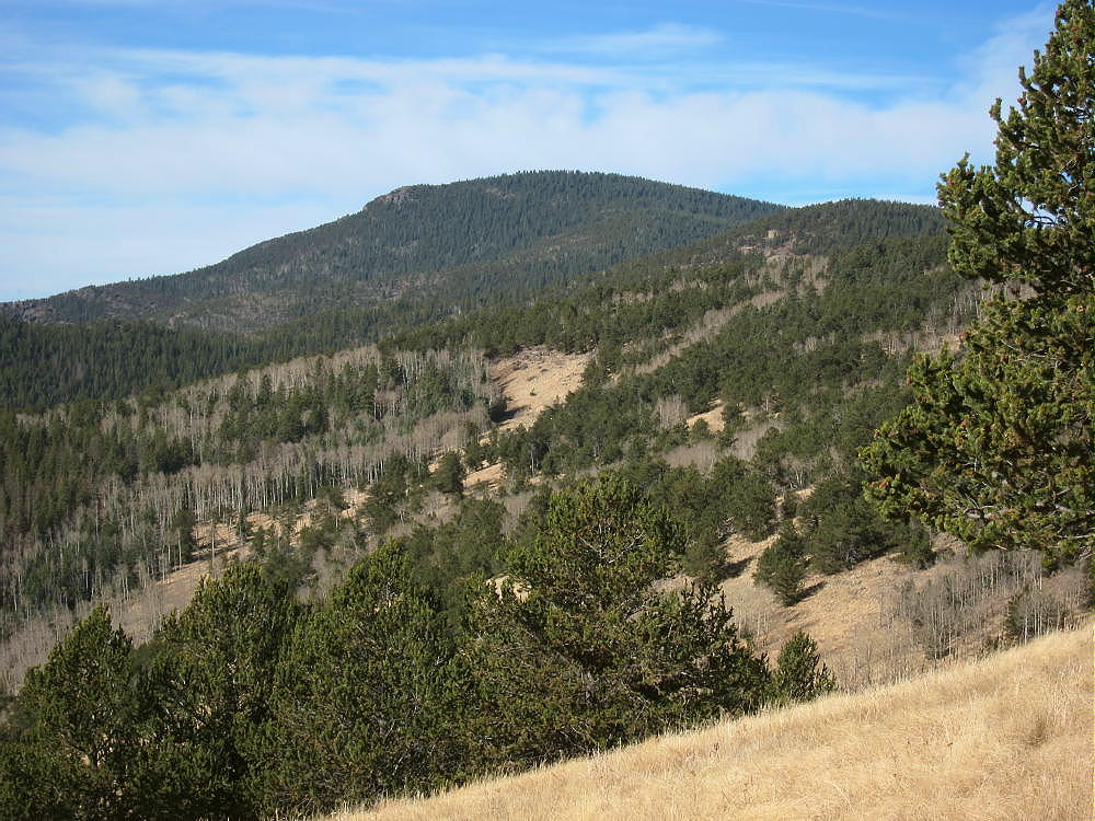
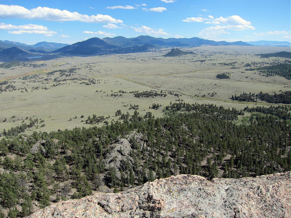
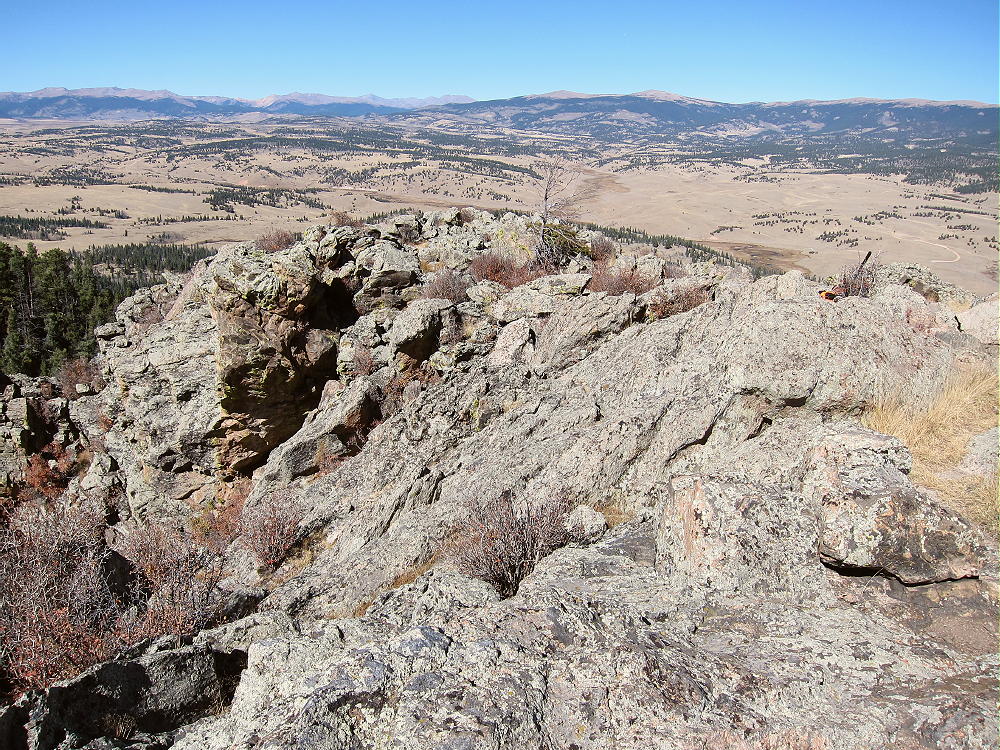
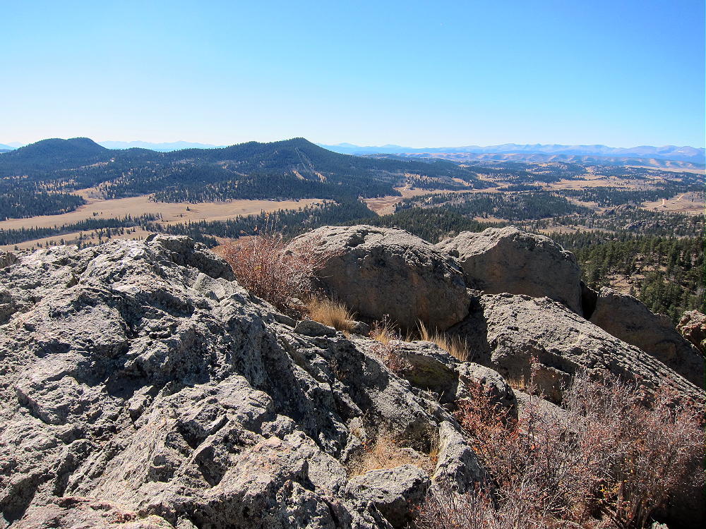
    The summit offers great views of several higher peaks and parts of South Park below. Boreas Mountain stands about 2 miles to the north, and Bald Mountain stands much higher behind it.
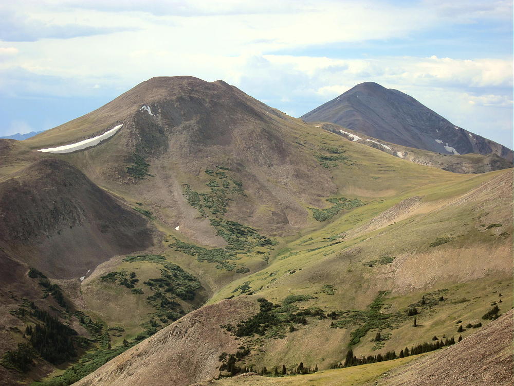
    The top of Mount Guyot looms across a high ridge east of Bald Mountain in the north. The views of the high Divide to the southwest are nice – Red Peak, Hoosier Ridge, and huge Mount Silverheels. Volz’s sub-peak stands nearby across the saddle, and it appears to have a cairn on top.
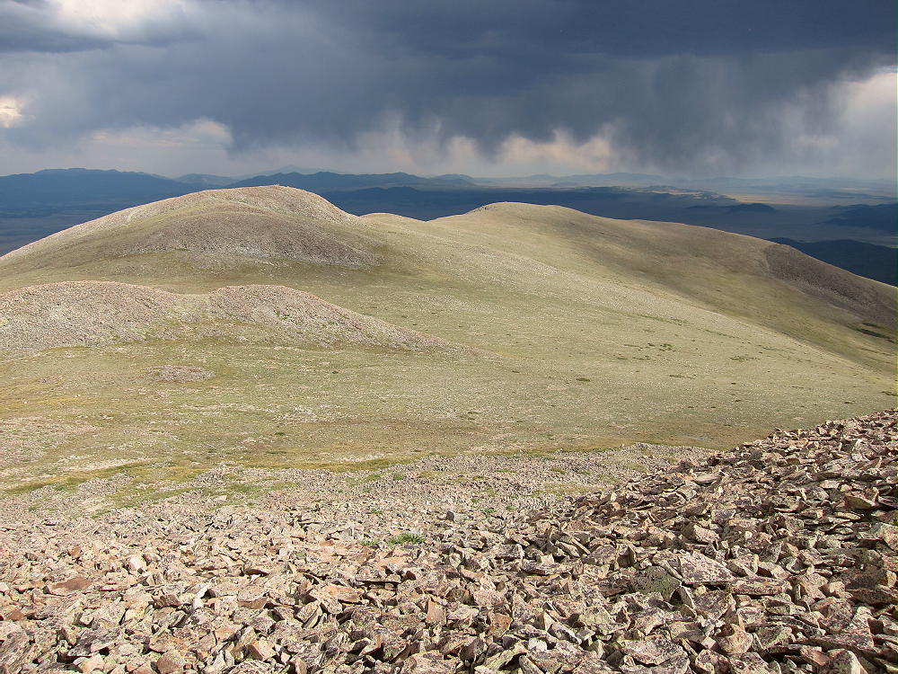
    Clearly there’s a decent route from CR 33 up the drainage on the southwest side of Volz. The “trailhead” for that route is about ¼ mile down the road from Selkirk Creek. It might be a better route for early in the year – more on the sunny side.

    For a dual activation, consider these nearby summits:

    Madonna Dome W0C/SP-051 – Easy – TH at Boreas Pass

    Boreas Mountain W0C/SP-030 – Challenging – TH at Boreas Pass

    Little Baldy Mountain W0C/SP-054 – Challenging – south several miles

    Bald Mountain W0C/PR-019 – Very challenging – TH at Boreas Pass

    I climbed and activated Volz after doing Little Baldy, and it was a full, very fun day!

    73

    George
    KX0R


    ATTENTION !! WARNING !! There are old mountaineers, and bold mountaineers… there are no old-bold mountaineers. Hiking and mountain climbing are potentially hazardous activities particularly in Colorado with its extreme elevations. I am not accepting responsibility for any death or injury resulting from activations based on my trip reports. Proper training, experience, and personal capability assessment is required – enjoy!
  • W0C/SP-054 (Little Baldy Mountain) – 3701 m / 12142 ft

    W0C/SP-054
    Little Baldy Mountain
    3701 m / 12142 ft
    First Activation
    Aug 15, 2016

    By KX0R

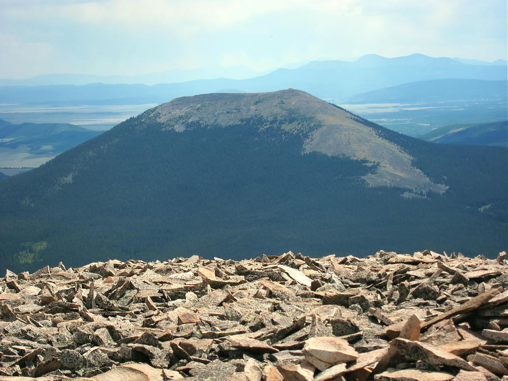
    Little Baldy Mountain is the prominent bald-topped peak standing above Como, in South Park.

    Key Points:

    Pike National Forest
    • Access via Gold Dust Trail
    • No marked trail up the north ridge
    • Route finding required
    • Game trails and bushwhacking
    • ~ 5.5 miles round-trip
    • ~ 2000 vertical feet
    • Seldom visited
    • Superb HF site

    Driving Directions:

    • Drive west on Highway 285 and cross Kenosha Pass
    • Continue west on Highway 285 about 11 miles
    • The Pike National Forest visitor map is very helpful in this area
    • Turn north on CR 33 and drive about ½ mile to Como
    • Continue on CR 33 up the Tarryall Creek drainage for about 3 miles to a marked split where CR 33 heads off to the right, NW, toward Boreas Pass
    Roberts Cabin is near this split
    • Don’t follow CR 33 right at this intersection, but continue straight on CR 50 northwest along Tarryall Creek for about 1.5 miles
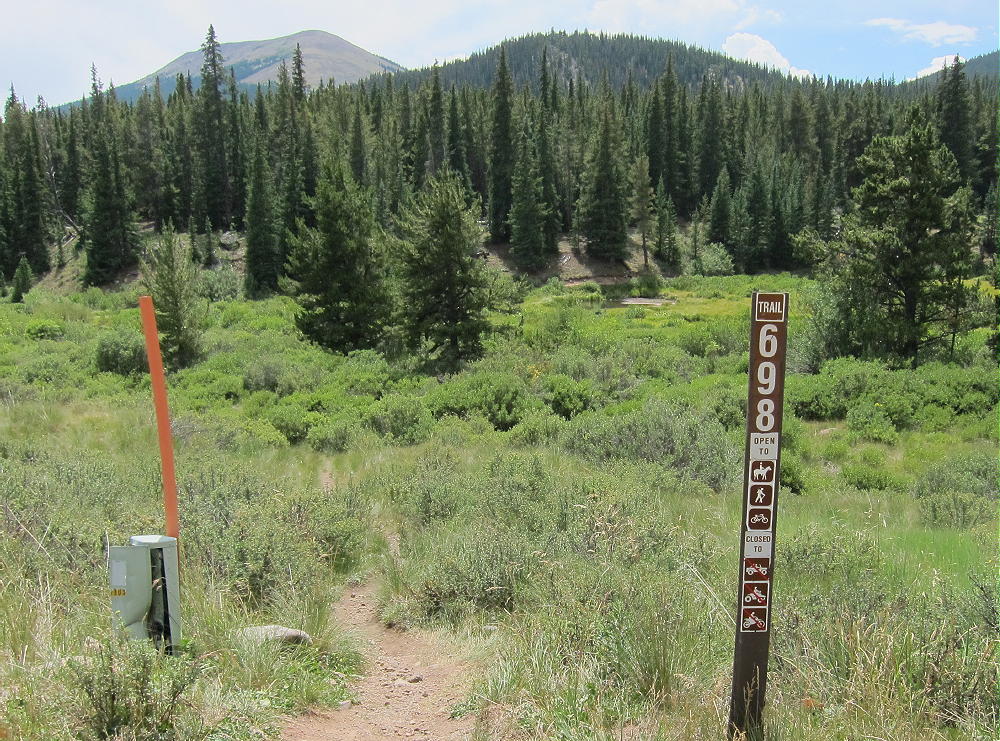
    • Look for a marker on the south side of the road for Trail 698, the Gold Dust Trail

    • The Gold Dust Trail crosses the road at this point – this is the trailhead – park on the north side of the road
    • Most of the land along the creek and the road is private, and the Gold Gust Trail 698 provides convenient, legal access to the National Forest land south of the creek

    The Hike and the Climb:

    • Google Maps show none of the hiking trails in this area, and the Gold Dust Trail 698 and trailhead are not shown
    • All the trails and creeks are shown on the Pike National Forest visitor map
    • GPS is also very useful in this area
    • Hike south from the trailhead on Trail 698
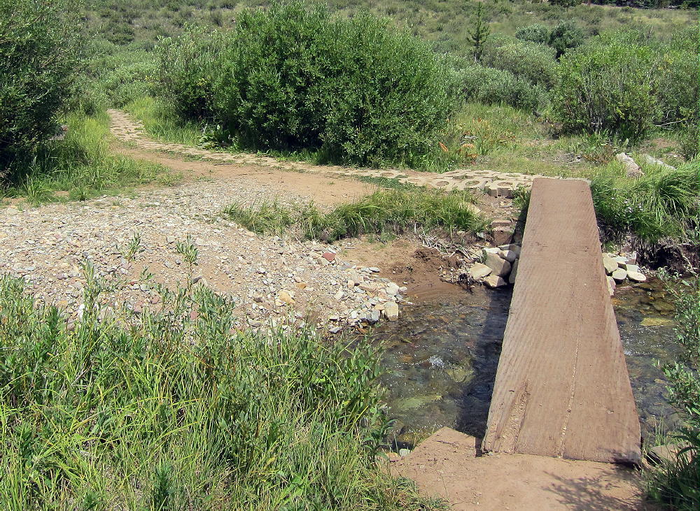
    • Cross Tarryall Creek on a convenient wood bridge

    • This bridge is visible on Google satellite images, and is the key to the whole trip – this is how I found the Gold Dust trailhead!
    • Follow the Gold Dust Trail 698 southeast for about ½ mile to a trail junction – Trail 614 splits off and heads west up Silverheels Creek.
    • Cross Silverheels Creek and continue southeast on Gold Dust Trail 698 for about 0.4 mile to South Tarryall Creek

    • Cross the creek and walk southeast along Trail 698 for about 100-200 feet.
    • Leave the trail and head south, uphill, through mostly open forest

    • This route is gentle at first, but the hike becomes steeper and tougher as it ascends south up the long north ridge of Little Baldy.
    • Visibility is limited; it’s important to stay on the ridge and keep climbing south.
    • Some bushwhacking is inevitable in dense parts of the forest.
    • At about 10,800 feet the ridge gets steeper, but the route ahead can be seen
    • The hardest part of the climb is up through the forest from 10,800 to 11,500 feet – use the available game trails and stay on the ridge.

    • Above 11,500 feet the grade is less steep.
    • Climb south via faint game trails, up tundra and talus of the open, spectacular north ridge, to the summit area

    • The actual peak is at the top of a rocky knoll on the west side of the broad mountaintop
    • Climb carefully over boulders to the top of this knoll.

    Additional Details:

    As far as I can tell, there’s no public route up the south or east side of Little Baldy. There’s likely access on the steep west side via either FR-194 or Trail 614, but I see no advantage to either route. The north ridge route is challenging but relatively efficient. Stay on the ridge – avoid the deadfall and thickets of the steep northeast slopes.

    The forest on the north side holds snow for many months of the year, so the north-side ascent is best done during the summer or fall.

    There are some good spots for setting up radio gear near the summit knoll. I set up on the south side to reduce the wind. Setting up on the knoll provides some additional height for an antenna.

    Little Baldy Mountain is a near-perfect HF radio site. It falls away in all directions, and the noise level is very low. Little development is nearby. This peak is likely a fair VHF/UHF summit, with coverage across much of South Park.

    The peak offers great views of several higher peaks and South Park. Boreas Mountain stands east of the Pass to the north, and Bald Mountain stands higher behind it. Mount Silverheels is impressive to the west, with Hoosier Ridge north of it. Reinecker Ridge and Red Hill extend more miles to the south. Pikes Peak and Mount Evans are visible many miles to the east.

    For a dual activation, consider these nearby summits:

    Madonna Dome W0C/SP-051 Easy – start at Boreas Pass
    Boreas Mountain W0C/SP-030 Challenging – start at Boreas Pass
    Volz Mountain W0C/SP-046 Challenging – start along CR 33

    I activated Volz after Little Baldy, and it was a full, very fun day!

    73

    George
    KX0R


    ATTENTION !! WARNING !! There are old mountaineers, and bold mountaineers… there are no old-bold mountaineers. Hiking and mountain climbing are potentially hazardous activities particularly in Colorado with its extreme elevations. I am not accepting responsibility for any death or injury resulting from activations based on my trip reports. Proper training, experience, and personal capability assessment is required – enjoy!
  • W0C/SP-030 (Boreas Mountain) – 3987 m / 13,082 ft

    W0C/SP-030
    Boreas Mountain
    3987 m / 13,082 ft
    Aug 1, 2016

    By KX0R

    Boreas Mountain is a challenging alpine summit near Boreas Pass, south of Breckenridge.

    Pike National Forest
    • High altitude hike
    • No marked trail to the summit
    • Route follows the Continental Divide part way
    • Fine alpine scenery
    • Excellent HF site
    • 3.3 miles round-trip
    • ~1550 vertical feet total

    Driving access:

    • Drive west on Highway 285 and cross Kenosha Pass
    • Continue west on Highway 285 about 10 miles
    • Turn north on CR 33 and drive about ½ mile to Como
    • Pass through Como and drive up CR 33 about 9 miles to Boreas Pass at 11482 feet
    • The route follows a historic narrow gage rail line and continues all the way across to Breckenridge
    • CR 33 is an OK unpaved road, with several rough, rocky sections, but most cars can make the trip along the railway roadbed
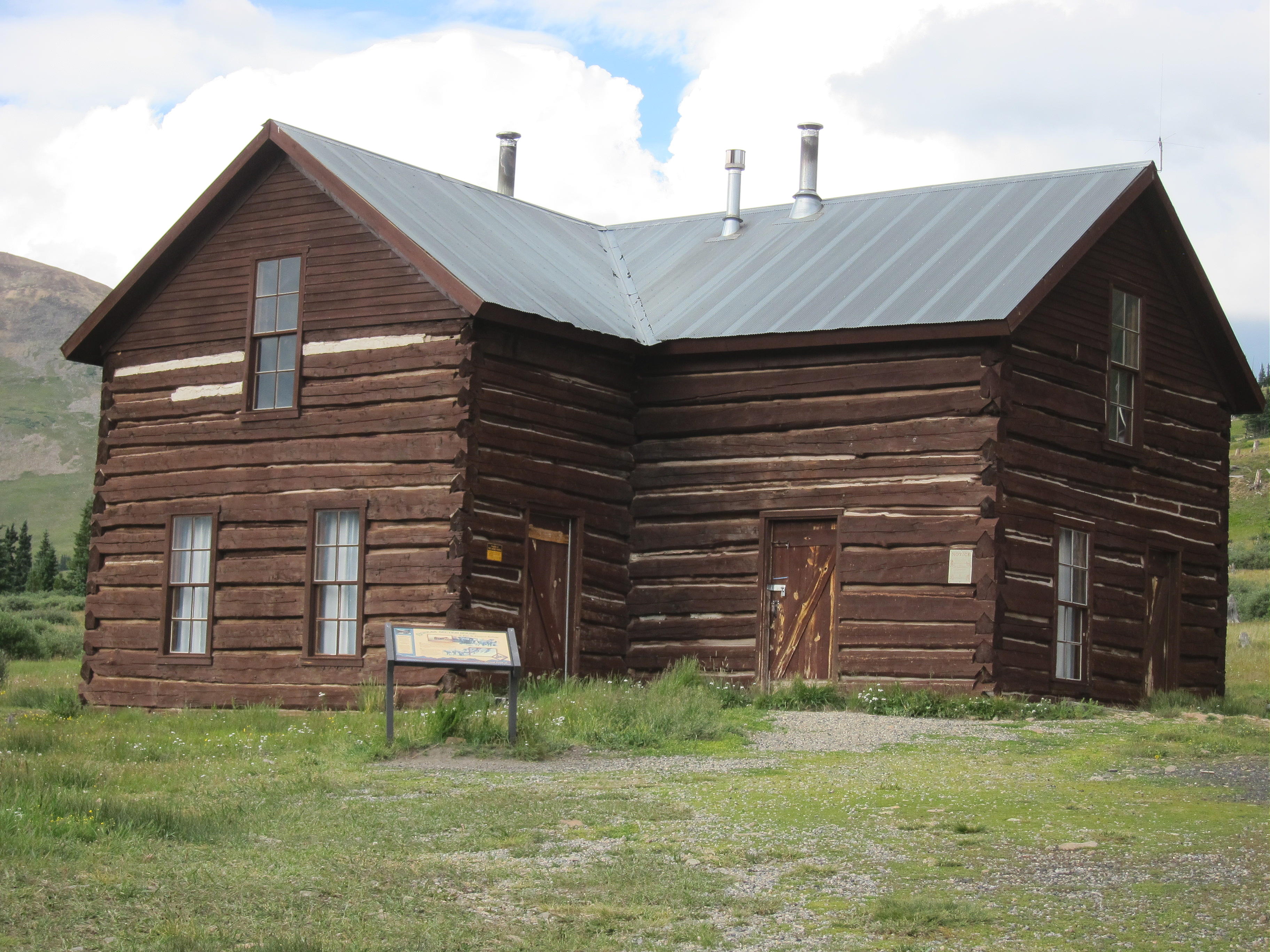
    • Park off the road at Boreas Pass, near the old Section House
    • This is the trailhead

    The hike and climb:

    • Google Maps shows none of the hiking trails near Boreas Pass
    • GPS is very useful in this area
    • Hike east from the Section House up through meadows toward the north ridge of Boreas Mountain
    • This route follows the Continental Divide
    • At about 12,000 feet the grade becomes steep
    • Follow game trails up through the rocky tundra toward the north sub-peak
    • Avoid the obvious talus slopes – stay in the green area
    • Pass southwest below a small sub-peak
    • At about 12,600 feet, traverse southeast up toward the summit ridge
    • Head south up a long, shallow valley west of the summit ridge


    • Follow convenient old trails in the rocks
    • The summit is the highest bump near the south end of the rocky summit ridge
    • Climb up the rock pile to the top
    • There’s a convenient wind shelter on the peak

    Additional Details:

    Not many people climb Boreas Mountain. The off-trail route up to the ridge is steep and rocky. There are a few game trails that lead up through the tundra. The hike gets easier toward the top – the hike up the shallow valley is pleasant. The old trails may date from the mining days, but I didn’t see much evidence of mines up there.

    The entire summit ridge appears to be made of reddish intrusive igneous rock. It makes almost musical tones, like pieces of ceramic, as you hike over it. Most of the top part of the mountain looks like a giant rock pile. The peak is about ½ mile south of the Divide.

    The summit offers great views of the surrounding peaks and most of South Park below. Bald Mountain stands much higher to the north, and Mount Guyot looks cool with its cliffs in the northeast. The views along the Divide to the southwest are interesting – Red Peak, Hoosier Ridge, Mount Silverheels, etc.

    Boreas Mountain is a fine HF summit. It falls away in all directions, and the noise level is very low. My end-fed wire worked well on top – 34 CW contacts on 4 HF bands. Partly surrounded by higher mountains, this peak is likely a poor VHF/UHF summit, with coverage limited to parts of South Park and the area near Breckenridge.

    It might be practical to climb Boreas Mountain’s north ridge via the trail from the Section House to Black Powder Pass, but I haven’t done that. The ascent up the north ridge from the Pass is partly through talus, but there might be a game trail(s) up through it.

    For a dual activation, consider these nearby summits:

    Madonna Dome  W0C/SP-051   Easy – access from Boreas Pass
    Bald Mountain     W0C/PR-019   Very challenging – access from Boreas Pass
    Volz Benchmark  W0C/SP-046  Challenging – access from CR 33

    73

    George Carey Fuller
    KX0R


    ATTENTION !! WARNING !! There are old mountaineers, and bold mountaineers… there are no old-bold mountaineers. Hiking and mountain climbing are potentially hazardous activities particularly in Colorado with its extreme elevations. I am not accepting responsibility for any death or injury resulting from activations based on my trip reports. Proper training, experience, and personal capability assessment is required – enjoy!
  • W0C/SP-111 (9889) – 3014 m / 9889 ft

    W0C/SP-111
    9889
    3014 m / 9889 ft
    First Activation
    Sep 9, 2016

    By KX0R

    9889 is a slightly challenging SOTA peak in the southern Puma Hills, several miles east of Eleven Mile Reservoir.

    Pike National Forest
    • Access via forest roads
    • No marked trail or trailhead
    • Secret closed road leads most of the way
    • Some off-trail hiking near the top
    • Seldom visited
    • Fine SOTA peak
    • ~ 2.2 miles round trip
    • ~ 800 vertical feet

    Driving Directions:

    • Drive to Lake George via Highway 24
    • Continue north 0.8 mile, and turn left, west on CR 90
    • Follow CR90 almost 4 miles, and turn left, southwest, on CR 92
    • Climb up CR 92 into the Puma Hills for about 2 miles
    • At a pass or saddle at 9040 feet, the second high point on this road, turn left, southeast, onto FR 246
    • FR 246 is a good, humpy 2WD road requiring more clearance than some cars allow
    • Drive FR 246 southeast for about one mile, past several dispersed campsites, to a large campsite located near a saddle in the road, on the north side of the road, with an obvious conical hill about 200 feet high on the north side. This is the only campsite in the immediate area with a big hill right behind it.
    • The Google Map coordinates are 38.945715, -105.459343
    • Park at or near this campsite. This is the “trailhead”. I camped there, and it was great!

    The Hike:

    • From the campsite above, walk west along FR-246 for about 100 feet.
    • On the south side of FR-246, find a closed road with a pile of big rocks blocking access. You can see this junction on the Google satellite image.
    • The old road is closed to motor vehicles but not to hikers. This route is not shown on most maps, including Pike NF and Google maps.
    • This route is shown clearly on the Google satellite image, which is where I found it. At high magnification the entire trail is visible running through the forest.
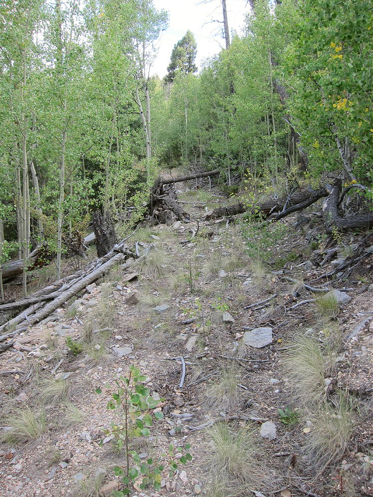
    • Hike southeast up the closed road as far as it goes. It’s not maintained, and there’s significant deadfall and erosion.

    • This convenient secret trail climbs steeply and efficiently toward Peak 9889. It ends at about 9500 feet, about 1/3 mile from the summit.
    • Continue south on a game trail leading up the slope from the end of the road – stay on the north side of the draw.
    • After about ¼ mile, come to a saddle at about 9700 feet.
    • The saddle is between Peak 9889 to the southeast, and its twin sister to the northwest, at almost the same elevation,.
    • Make certain to ascend the peak southeast of the saddle!
    • Hike up less than 0.2 mile, through easy open woods, to the rocky summit.

    Details:

    The Pike National Forest Map is useful for planning a hike to 9889; it shows roads CR 90, CR 92, and FR-246.

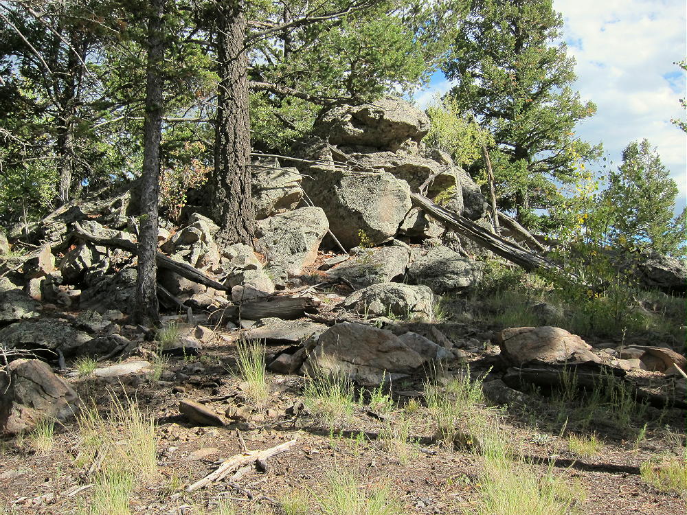
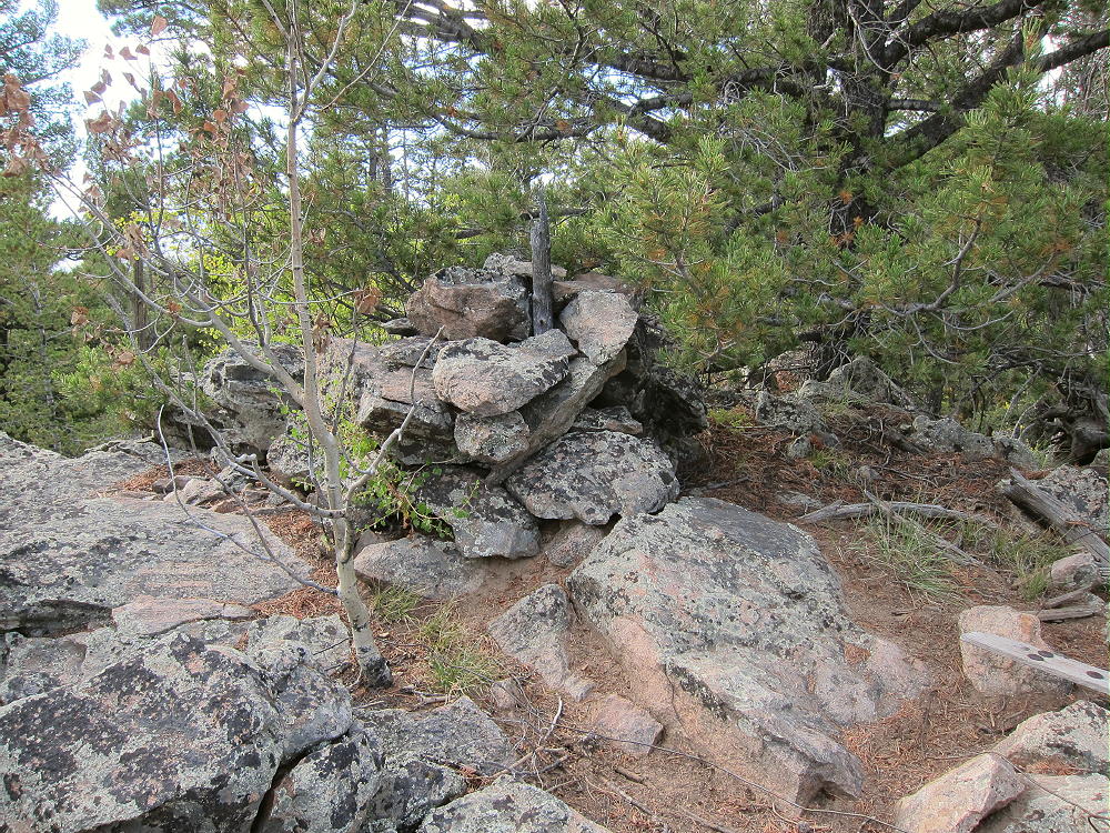
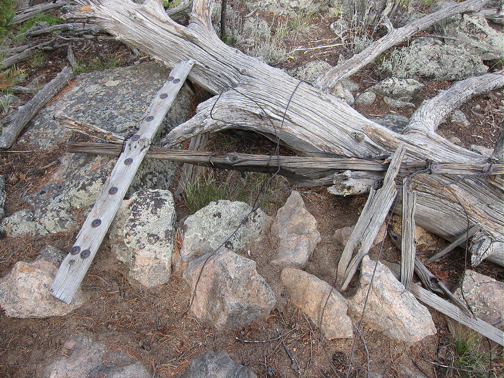
    The top of prominent Peak 9889 is a small rock formation with trees on it. The remains of a triangulation station lie near the peak – boards, wires, etc. There’s a cairn, maybe with a register-jar inside it, on the top. There’s little evidence of visitors. Most of the summit is forested, and views are limited.

    The large activation zone extends along the ridge-top, with sheltered spots, trees for a pole, etc. I set up immediately north of the peak; I ran my wire from a pole up to a tree at the summit rocks.

    The land falls away on the east side of the summit – it’s possible to see down into Eleven Mile Canyon.

    There’s no development on the mountain, and the RF noise level is very low. This is a fine HF site! There are no close summits to block skip signals. This site has some VHF/UHF coverage of South Park, including around Hartsel, near Elevenmile Reservoir, near Lake George, Divide, and the country northwest of Pikes Peak.

    It might be possible to activate Peak 9889 in the same day as another local summit. Possibilities include:

    W0C/SP-079 Stoll Mountain
    W0C/SP-092 The Pulverizer
    W0C/SP-123 Blue Mountain
    W0C/SP-072 Badger Mountain
    W0C/SP-121 Sulphur Mountain
    W0C/SP-118 Spinney Mountain
    W0C/FR-165 Signal Butte
    W0C/SP-091 10462
    W0C/FR-038 South Tarryall Peak
    W0C/SP-071 Schoolmarm Mountain
    W0C/SP-113 Eagle Rock
    W0C/SP-102 Observatory Rock
    W0C/SP-065 Puma Peak
    W0C/SP-074 Burntop
    W0C/FR-066 Tappan Mountain
    W0C/SP-124 9083
    W0C/SP-125 9036
    Etc.

    This area is popular with hunters – there were bow hunters in the area when I was there. Wear bright color – be cautious.

    73

    George
    KX0R


    ATTENTION !! WARNING !! There are old mountaineers, and bold mountaineers… there are no old-bold mountaineers. Hiking and mountain climbing are potentially hazardous activities particularly in Colorado with its extreme elevations. I am not accepting responsibility for any death or injury resulting from activations based on my trip reports. Proper training, experience, and personal capability assessment is required – enjoy!
  • W0C/SP-066 (Thirtynine Mile Mountain) – 3520 m / 11,548 ft

    W0C/SP-066
    Thirtynine Mile Mountain
    3520 m / 11,548 ft
    First Activation
    Nov 1, 2016

    By KX0R

    Thirtynine Mile Mountain is a large, remote summit at the south end of South Park. Its dark volcanic rock is the remains of a huge volcano active about 35 million years ago.

    • Pike National Forest
    • No marked trailhead
    • No marked trail
    • Game trails and man-trail part of the way
    • Navigation required
    • Obscure summit, rarely visited
    • Excellent radio site
    • Interesting igneous geology
    • ~ 8.0 miles round-trip
    • ~ 3500 vertical feet gain total, in and out

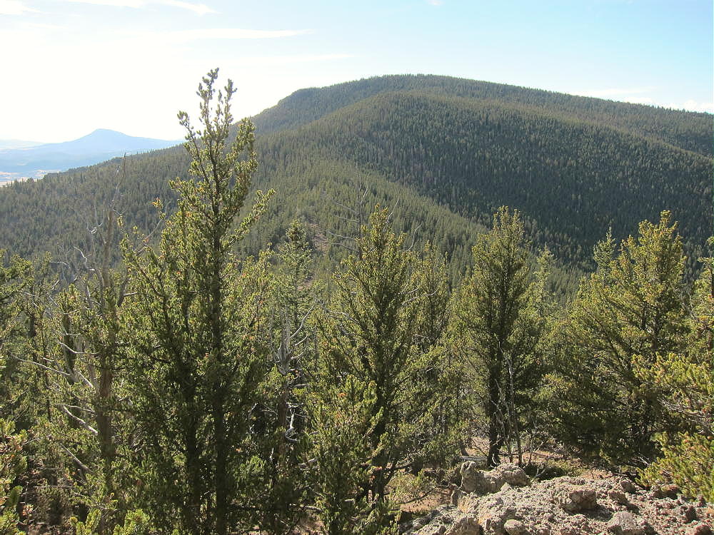
    Thirtynine Mile Mountain SW Side, from Dicks Peak
    Thirtynine Mile Mountain East Side, from Mid-route

    Driving directions:

    • Drive to South Park, either by Highway 285 or Highway 24

    • Continue mostly via dirt roads to the south end of Elevenmile Reservoir

    • Use CR 23 and CR 59 from near Spinney Mountain

    • Or use CR 46 and CR 98 from near Florissant

    • From the junction of CR 59 and CR 98, continue south on CR 59 (Thirtynine Mile Road)

    • Ascend this OK 2WD dirt road to a saddle at about 9550 feet, between Thirtyninemile Mountain and Saddle Mountain

    • Park off the side of the road at the pass

    The Hike:

    • The hike from the Pass to the summit climbs over several significant sub-peaks, and descends to saddles, along the main east-west ridge.

    • There’s no accessible water on the entire trip – except for snow, etc.

    • The route generally runs within about 100 yards of the ridge-top.

    • From the parking spot at the pass, an unmarked path leads west and skirts below some rocks. Stay on the north side of the ridge.

    Thirtynine Mile Mountain, near Start of Route at Pass, View of Hill 10734

    • A jeep road comes up from the north to a fire ring in a clearing. People camp and park here sometimes.

    • A trail ascends steeply west from the clearing.

    • Soon the route comes to a fence line running east-west.

    • A fence-gate with a USFS sign says to close the gate.

    • The land south of the fence is likely private, but it’s not posted.

    • Hill 10734 rises to the west – it’s necessary to climb most of the way to the top, up about 800 vertical feet, through thick grassy meadows along the fence-line.

    • Near the top of 10734, at about 10550 feet, either continue on up along the fence, into the forest, and across the summit; or contour around the south side through more meadows – I did this.

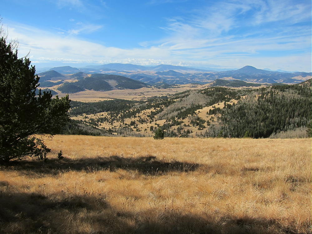
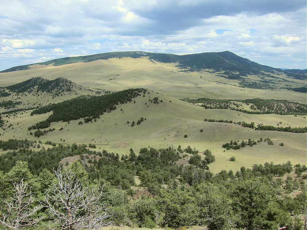
    • Contouring south leads to beautiful open views of the Guffey area, valleys far below, Black Mountain, Waugh Mountain, and the south slopes of Thirtynine Mile Mountain two miles to the west.

    Thirtynine Mile Mountain Trip, View Southwest from Mid-route

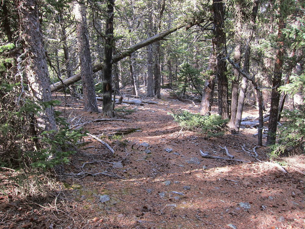
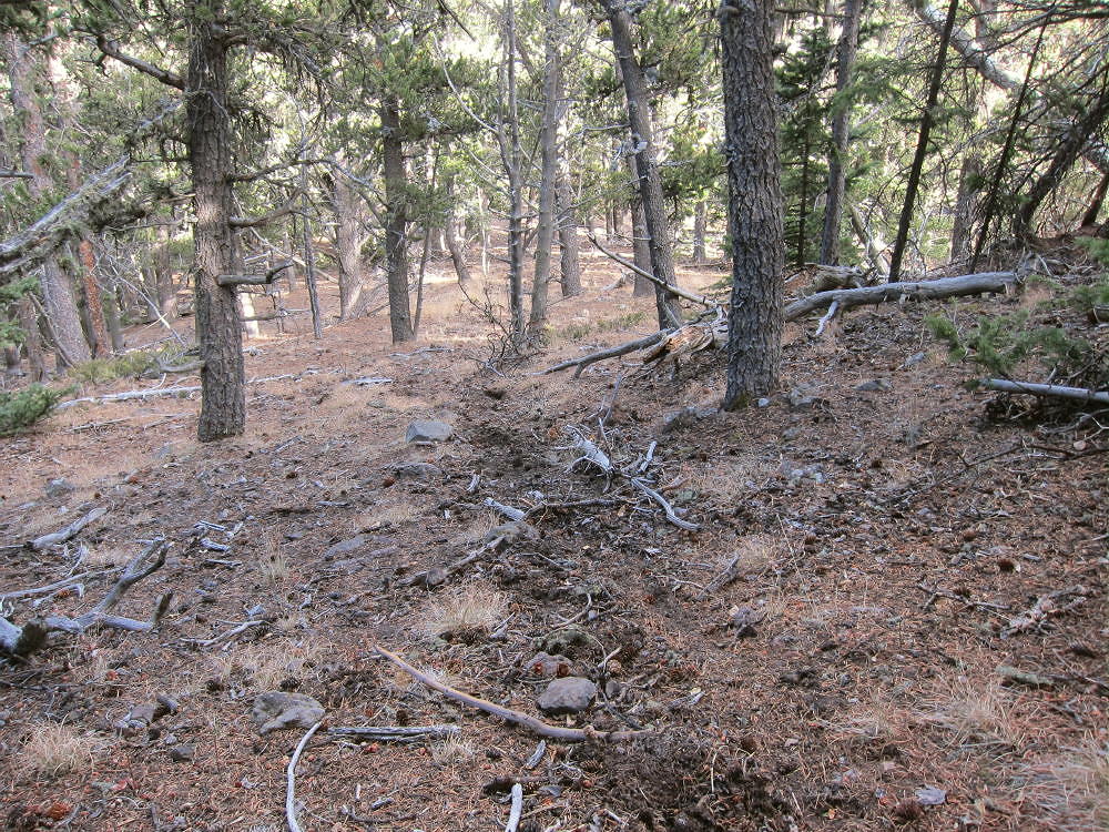
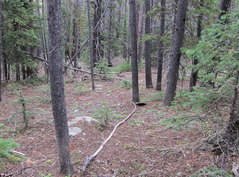
    • Next hike northwest to the main ridge and pick up a game trail – also a man-trail – that runs west along the ridge. Stick with the ridge. There are sections where the trail thins or disappears, but it comes back further on.

    Thirtynine Mile Mountain Trail

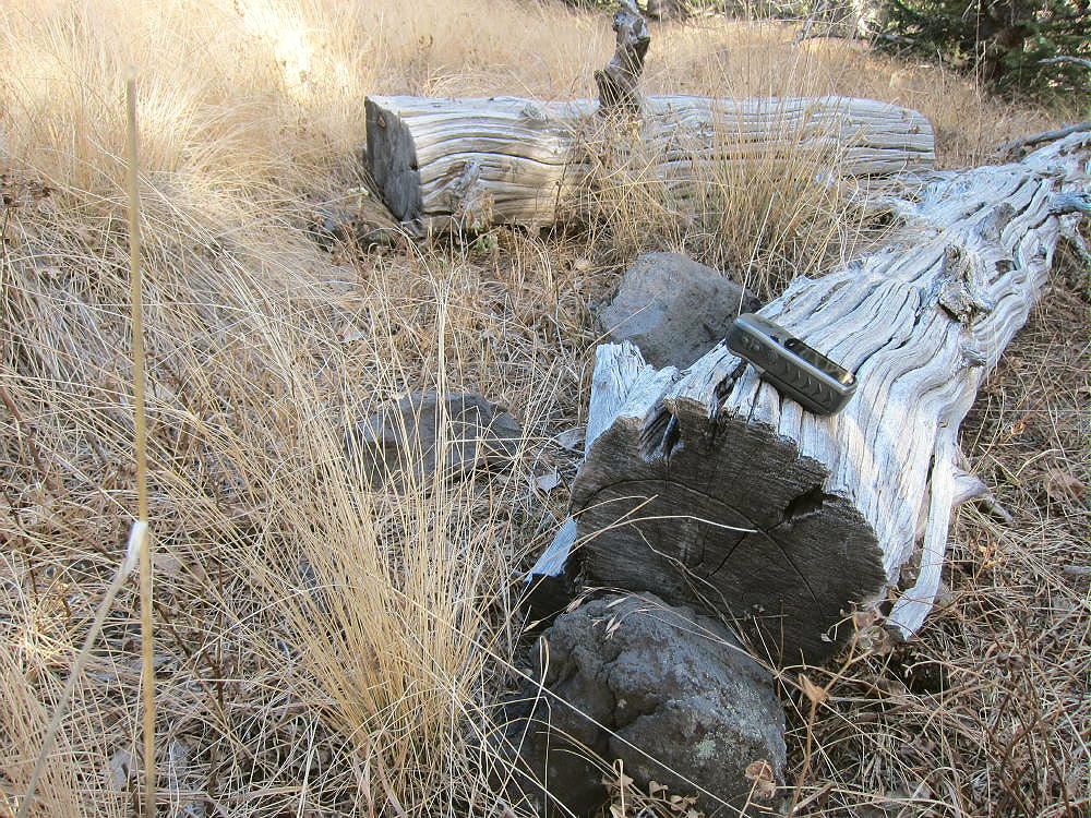
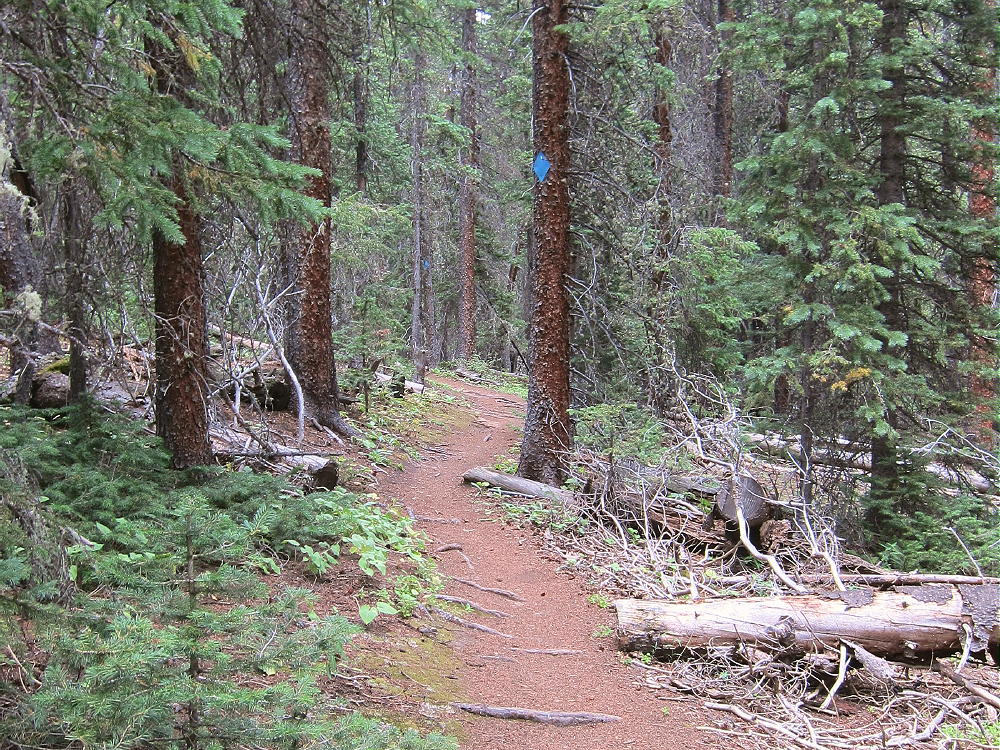
    • Sawed logs are visible, and a few blazes show on trees along the path.

    Thirtynine Mile Mountain Sawed Logs Along Route

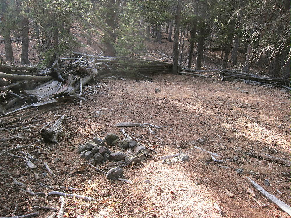
    Eventually the trail leads over a couple of minor bumps and ends at an old campsite with a log fence around it. This camp is at a saddle, and it looks like it’s used occasionally. The USGS topo shows a trail crossing from north to south at the saddle.

    Thirtynine Mile Mountain, Campsite at Saddle East of 11121

    • The next challenge is to climb about 500 vertical feet up big sub-peak 11121, east of the primary summit. A fair game trail starts up from the camp and ascends along the ridge. It deviates just north of the ridge to skirt rock outcrops and fallen trees.

    • It’s essential to stay on the ridge near 11121 and then to descend correctly WSW to the saddle at 10850 feet, between Peak 11121 and the main peak. This narrow saddle is like a bridge, and it’s easy to cross; however, it’s hard to see through the trees – use GPS to hit it.

    Thirtynine Mile Mountain East Side, Bridge Saddle to Main Summit

    • From the saddle, the route follows game trails up along the east ridge of the main peak. These paths lead up around the north sides of various rocky obstructions, climb west along the moderately steep ridge, and continue up gentle slopes to the top. These game trails showed fresh use by elk.

    • The mountain top is forested, and the summit’s almost flat. Look for a cairn with a register in a jar – only a people sign each year.

    • Views are very limited – cliffs about ¼ mile south of the top likely offer fine views – but I didn’t go down there.

    Additional Details:

    This hike is just over 4 miles each way, but the total vertical gain is about 3500 vertical feet for the entire round-trip. The sub peaks and saddles are significant! After the first mountain, you’re at 10,800 or higher for most of the way. You keep dropping down to that level and then going up again.

    It took me almost three hours to hike from the pass to the summit. The return is similar, but a bit easier and faster. Two quarts or more of water are necessary if it’s cool – much more if it’s warm.

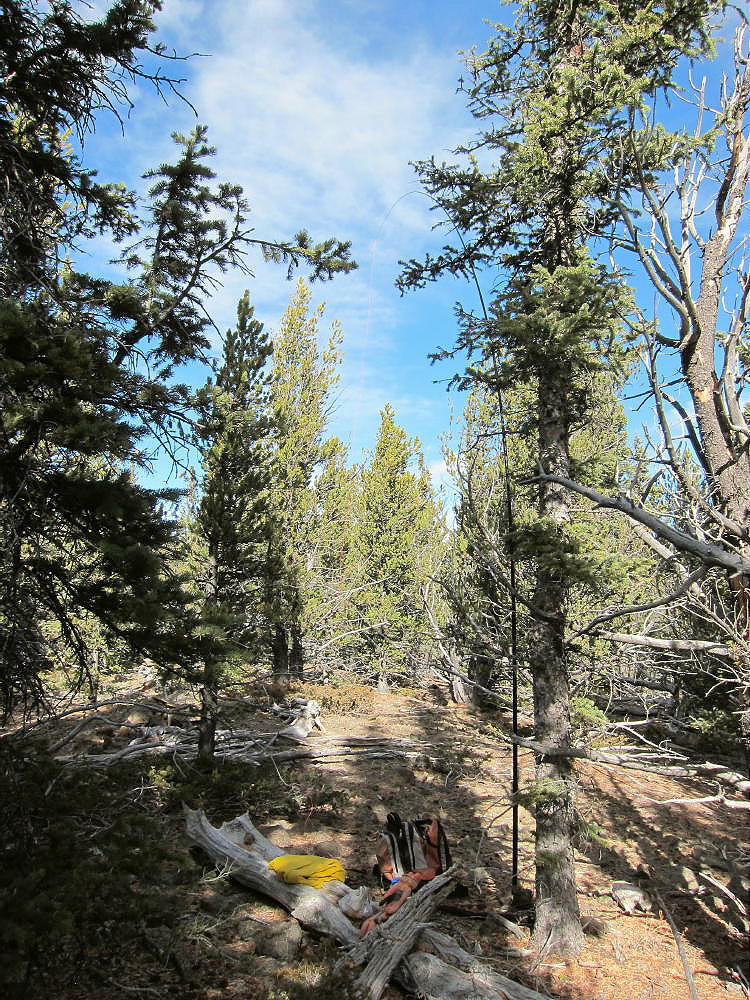
    Thirtynine Mile Mountain is easy to activate – the huge Activation Zone contains numerous bristlecone pines and other trees – it’s really nice. It doesn’t feel like a regular mountain when you’re on top.

    Thirtynine Mile Mountain Summit Activation

    There’s no development nearby, and the HF noise level is very low. With no higher peaks for many miles, this peak is an ideal HF site. VHF/UHF coverage is likely OK across parts of South Park, east toward Pikes Peak, and down to the south.

    There’s a sister summit about 2000 feet west of the main summit, at almost the same elevation. Both summits and the connecting ridge appear to be within the SOTA Activation Zone.

    I saw no hunters or recent evidence of them, but there certainly could be hunting up there in the fall. I heard an elk about half-way in, in the meadows down below. It’s very nice country all the way.

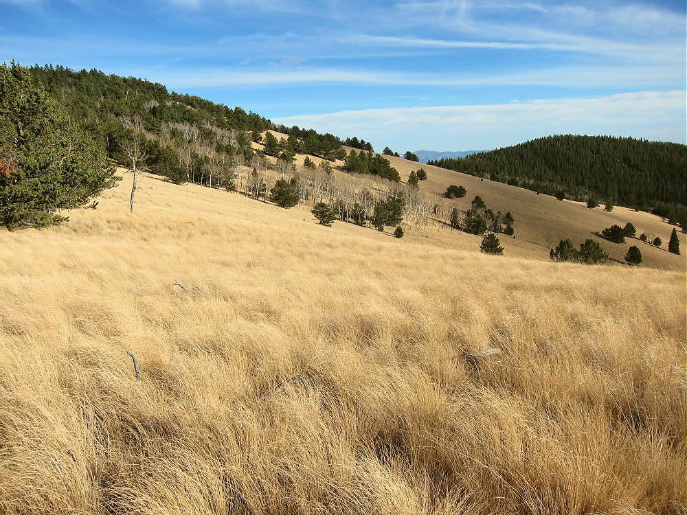
    Thirtynine Mile Mountain, High Meadows West of 10734

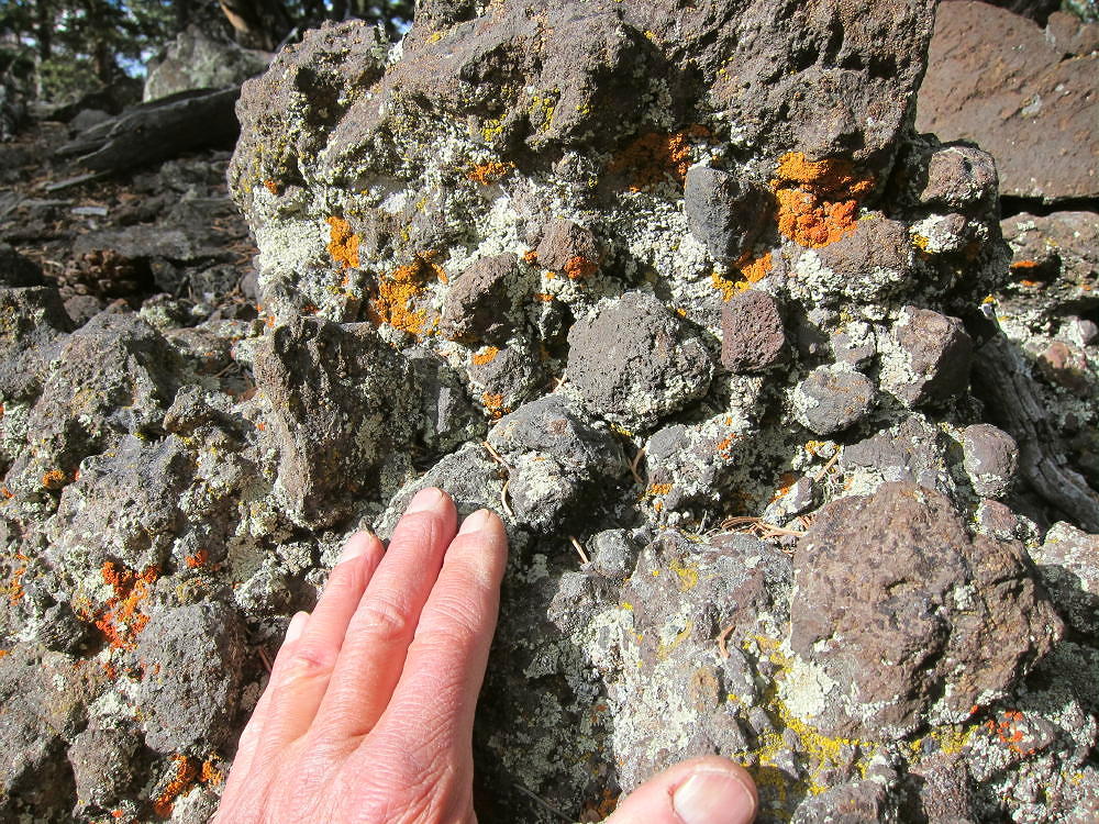
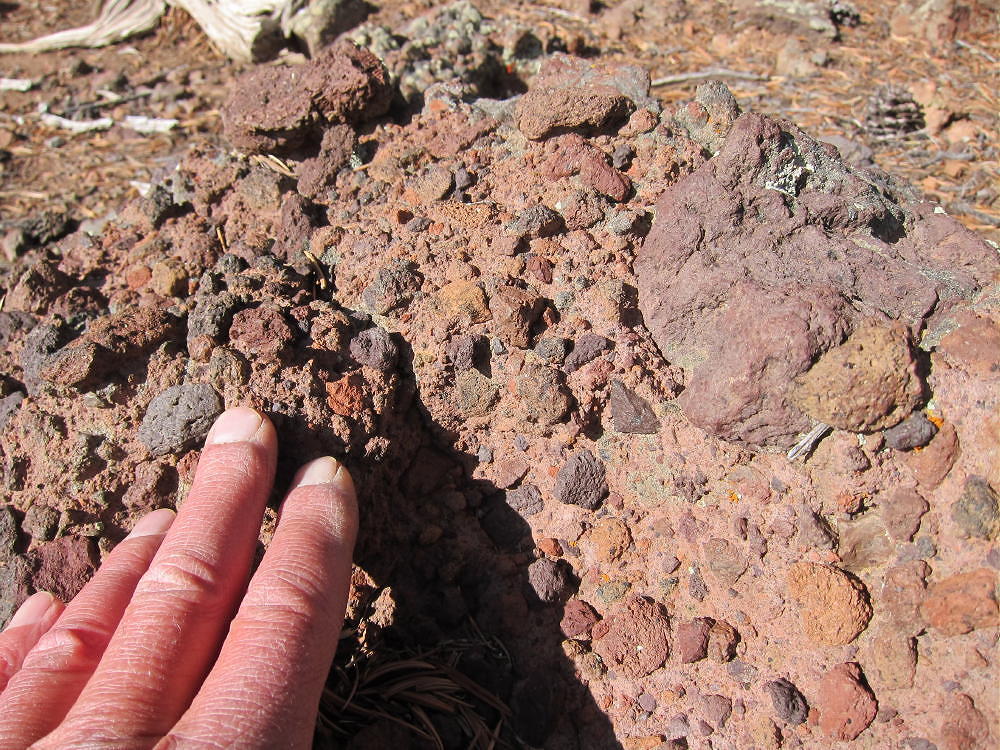
    The entire mountain is volcanic – much of it is breccia made of large rock fragments, etc. Some of the rocks have obvious bubbles. Most of it’s dark, but there are many orange and red rocks. The Guffey Volcano was huge, and this is just one small part of it, originally about half-way up the north side of the monster.

    Thirtynine Mile Mountain Volcanic Breccia

    There are a few sections of the hike that pass through loose rocks, with plenty of chances to stumble on them.

    Thirtynine Mile Mountain Bridge Saddle – View East to 11121

    Most of the ridge route is very reasonable and pleasant, with nice paths, and only moderate deadfall. Avoid the aspens where you can.

    Thirtynine Mile Mountain Fresh Game Trail

    If the summit had better views, it would be a SOTA Classic. If you like long off-trail hikes, wilderness, and geology, this trip is a winner! It’s a lot of driving – about three hours for me via Fairplay and Hartsel – and a big hike for sure. In the fall it takes some night driving both ways to do this trip, and there’s no extra time.

    It’s certainly possible to climb Thirtynine Mile Mountain from the west, perhaps from near Currant Creek Pass, but I have not done this.  The view of the huge west side from Peak 10090 is inspirational:

    Thirtynine Mile Mountain West Side, from Peak 10090

    73

    George
    KX0R

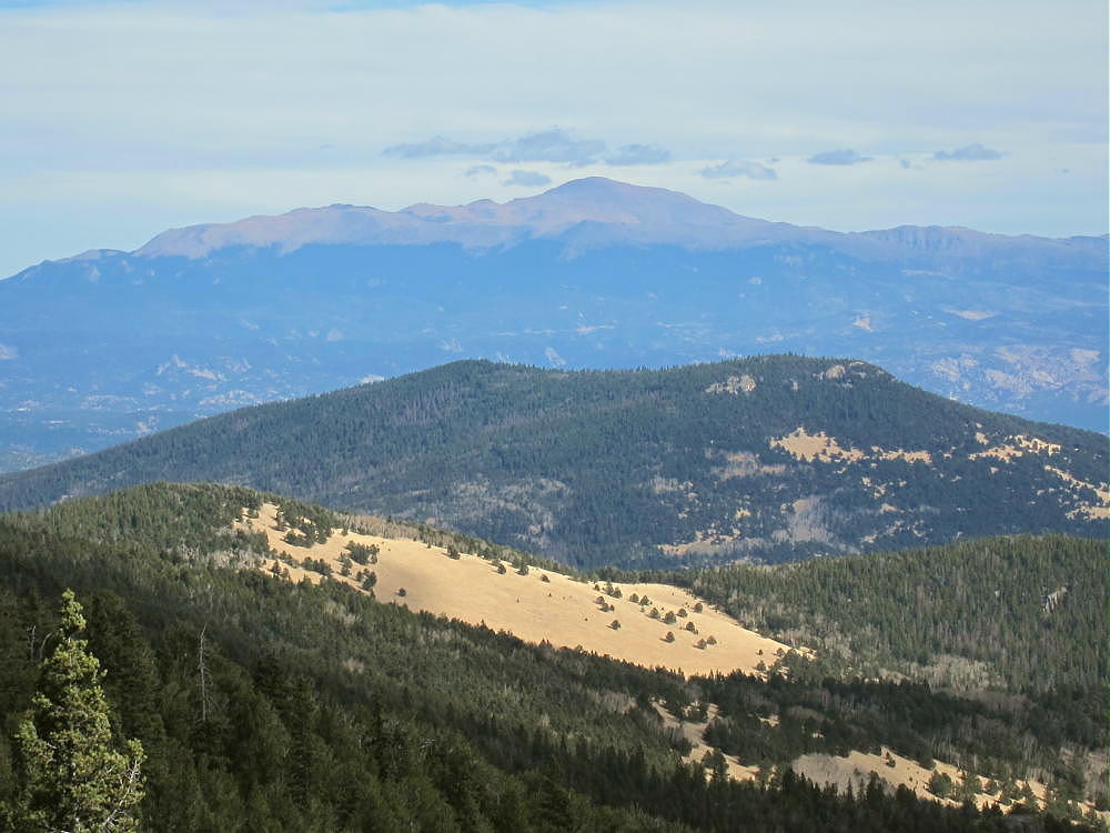
    Thirtynine Mile Mountain View East, Across 10734 and Saddle Mountain, to Pikes Peak
    Thirtynine Mile Mountain Red Volcanic Breccia

    ATTENTION !! WARNING !! There are old mountaineers, and bold mountaineers… there are no old-bold mountaineers. Hiking and mountain climbing are potentially hazardous activities particularly in Colorado with its extreme elevations. I am not accepting responsibility for any death or injury resulting from activations based on my trip reports. Proper training, experience, and personal capability assessment is required – enjoy!
  • W0C/SP-102 (Observatory Rock) – 3070 m / 10073 ft

    W0C/SP-102
    Observatory Rock
    3070 m / 10073 ft
    Oct 12, 2015 solo
    Sep 5, 2016 with N0TA and WA2USA

    By KX0R

    Observatory Rock is a high, prominent summit named for its resemblance to an observatory dome.

    Key Points:

    • Pike National Forest
    • Access via fair dirt roads
    • Prominent, high rock outcrop
    • No marked trail
    • Fun Class 3 scramble required to summit
    • South side parking at ~ 9400 feet
    • ~ 1.0 mile round-trip
    • ~ 670 vertical feet
    • Fine HF site
    • No red tape or special rules
    • SOTA Classic!

    Located on the east side of South Park, almost 5 miles northwest of Tarryall Reservoir, Observatory Rock is easy to spot from Highway 77. This prominent outcrop provides an exciting scramble up a natural radio tower made of ancient granitic rock. On the right day, climbing and activating this peak is a lot of fun!

    Driving Instructions:

    • Start by driving to South Park, either via Highway 285 from Denver, or via Highway 24 from Colorado Springs.

    • Continue to Tarryall Reservoir via the Tarryall Road, Highway 77, which runs north from Highway 24 near Lake George, to Highway 285 at Jefferson.

    • Near the south end of Tarryall Reservoir, turn west off Highway 77 onto dirt road 23 – the Turner Gulch Road. Follow Road 23 around the Reservoir and west about 2-1/2 miles.

    • Where Road 23 forks off to the south at the top of a hill, keep right – Forest Road 146 heads off to the northwest – look for a sign.

    • Follow rough 2WD dirt road FR-146 down a rocky hill into a valley and back up, for about a mile from Road 23 to Eagle Rock – you can’t miss it on the right! The road passes directly south of Eagle Rock.

    • Note that the road numbers on Google Maps differ slightly from the USFS Visitor Map for Pike National Forest

    • From Eagle Rock, continue northwest on FR-146/148 for about 1-1/2 miles

    • Soon after a 3-way intersection with FR-146/148, turn right on marked FR- 834. If it’s dry, this road may be OK for 2WD cars with good clearance.

    • Drive carefully north down the small lumpy road, past Berkey Spring

    • Continue past Copenhaver Gulch – Observatory Rock looms ahead to the north

    • About 2 miles from the turn-off from 146/148, there’s a 4-way junction in a flat open area. Go straight, northwest, and ascend about 0.6 mile up a little valley via a small unmarked high-clearance 2WD road. This trail leads directly to the south side of Observatory Rock. Although it’s not shown on Google Maps or the Pike Forest map, it’s easy to see on the satellite image. There’s a campsite about ¼ mile south of the Rock.

    • Park near the campsite

    The Climb:

    • Climb up the wide gully west of the huge rock; I found no real trail, but there are game trails.

    • Aim for the saddle at 9800 feet between Observatory Rock and its western sub-peak.

    • Ascending slightly left of the gully worked OK to me – avoid the outcrops on the east side.

    • At the saddle, head east up the steep open ridge toward the summit.

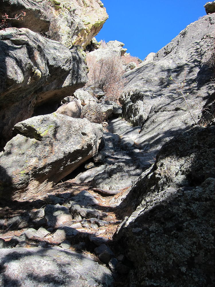
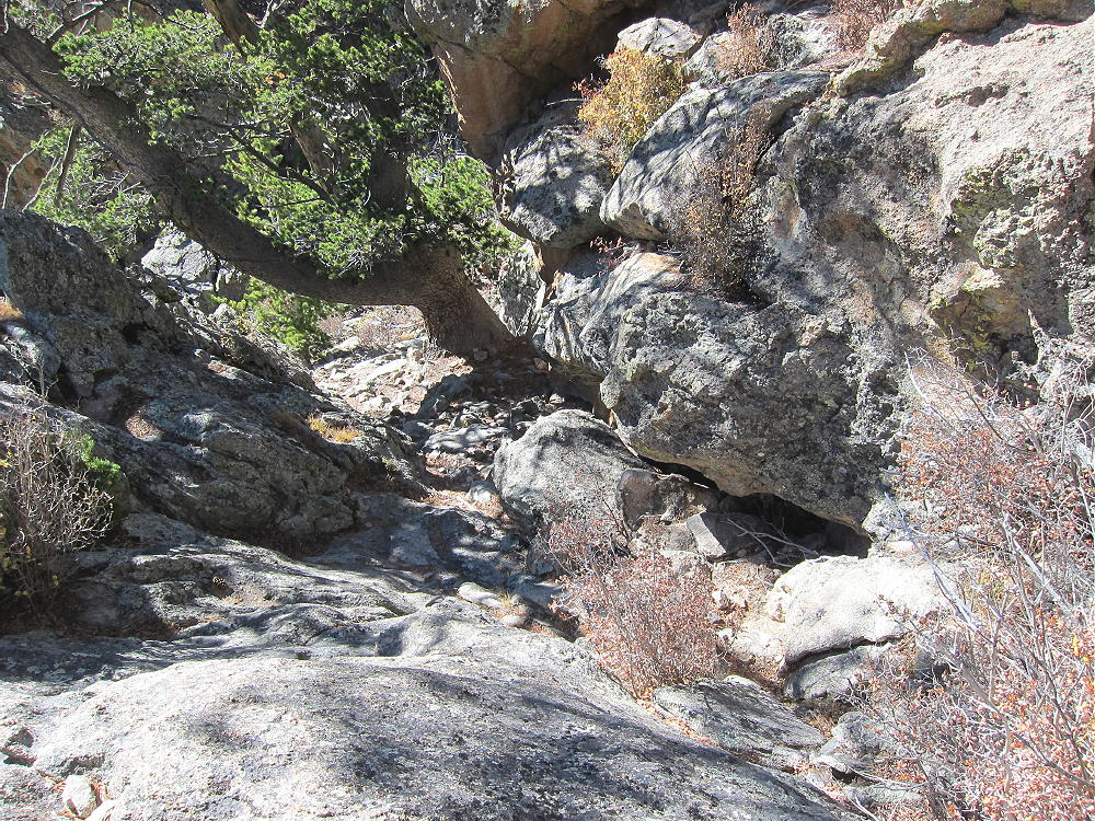
    • After climbing 200 vertical feet up the ridge, the route leads into a gully on the west side of the Rock. There may be a cairn or two, as well as a faint trail. The gully contains an ancient pine tree right below the summit.

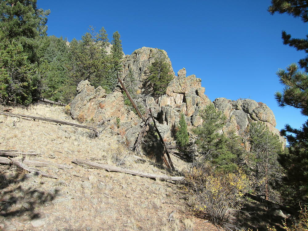
    • The correct route goes right up the rock to the head of the gully. The photos show the route. The climb is Class 2 and Class 3 for about 25-30 vertical feet. You have to use your hands and feet on the rock, but it’s not difficult – provided you have good footwear, and the rock is dry.

    • The gully is the best access to the top of the Rock, so it’s essential to find this route on the west side; be sure to descend the same way.

    Relevant Details:

    The top is about 670 vertical feet about the campsite below – and much higher than the terrain immediately to the east. The rocky summit is large and relatively flat – it’s easy to set up an antenna pole. Moving around the summit is relatively safe, and the only exposure is around the edge. A convenient dead tree provides a good pole support.

    The Rock is effectively an 800-foot tower! There are no peaks nearby to raise the effective wave angle or block signals. With little development nearby, the HF noise level is very low.

    This summit’s probably poor for VHF/UHF contacts, because it doesn’t look down on any population centers. It has good coverage of parts of South Park, but it’s blocked by the mountains surrounding South Park.

    The views of South Park and the surrounding mountains are spectacular! You can gaze across vast distances while you’re on the air – it’s an amazing place. The high-point of the trip was when first activator Frank – K0JQZ – called me on 40M CW and told me that Observatory Rock was his favorite SOTA peak.

    A dual activation of Eagle Rock and Observatory Rock works well on a dry fall day. I was there in the middle of the week, and there was no one else on either summit. Please see the report on Eagle Rock W0C/SP-113 for more information.

    I saw no hunters near either mountain, although they were out there. If you go during hunting season, wear hunter orange, and be careful.

    Unless the dirt roads are dry, a 4WD vehicle may be required to access this area.

    After activating Eagle Rock, the climb and activation of Observatory Rock was a supreme experience! Observatory Rock is a SOTA Classic for several reasons:

    • Iconic SOTA Peak
    • Unique summit
    • Short but challenging climb
    • Fine views
    • Ideal HF site
    • Few visitors

    If Eagle Rock was fun, Observatory Rock will be more fun. On the other hand, if Eagle Rock was too freaky, better skip Observatory Rock – it’s higher and more challenging. Both summits are well worth the drive to South Park – but save them for a special day!

    73

    George Carey Fuller
    KX0R


    ATTENTION !! WARNING !! There are old mountaineers, and bold mountaineers… there are no old-bold mountaineers. Hiking and mountain climbing are potentially hazardous activities particularly in Colorado with its extreme elevations. I am not accepting responsibility for any death or injury resulting from activations based on my trip reports. Proper training, experience, and personal capability assessment is required – enjoy!
  • W0C/SP-113 (Eagle Rock) – 2960 m / 9710 ft

    W0C/SP-113
    Eagle Rock
    2960 m / 9710 ft

    Oct 12, 2015 solo
    Sep 5, 2016 with N0TA and WA2USA

    By KX0R

    Eagle Rock is a prominent summit about 2-1/2 miles west of Tarryall Reservoir, on the west side of South Park.

    Key Points:

    • Pike National Forest
    • OK dirt road access
    • Prominent metamorphic rock outcrop
    • No marked trail
    • Fun Class 2 scramble
    • West side parking at ~ 9310 feet
    • Fine HF site
    • Awesome views of South Park
    • No red tape or special rules
    • ~ 0.8 mile round trip, south side parking
    • ~ 550 vertical feet, south side parking

    • SOTA Classic!
    Driving Directions:

    To access Eagle Rock, start by driving to South Park, either via Highway 285 from Denver, or via Highway 24 from Colorado Springs. Continue to Tarryall Reservoir via the Tarryall Road, Highway 77, which runs from Highway 24, near Lake George, to Highway 285, at Jefferson up north. Near the south end of Tarryall Reservoir, turn west off Highway 77 onto dirt road 23 – the Turner Gulch Road. Follow Road 23 around the Reservoir and west about 2-1/2 miles. Where Road 23 forks off to the south at the top of a hill, keep right – Forest Road 146 heads off to the northwest – look for a sign. Follow the rough 2WD dirt road 146 down a rocky hill into a valley and back up, for about a mile from Road 23 to Eagle Rock – you can’t miss it on the right! The road passes directly south of Eagle Rock. Note that the road numbers on Google Maps differ slightly from the USFS Visitor Map for Pike National Forest.

    Park off the road on the south side; or drive around to the west side of the Rock, and follow a small road up closer to the summit. A look at the satellite image shows the Rock and access clearly.

    The Climb:

    Hike up to the saddle on the south side of the Rock. There’s no marked route, but social paths lead up over the rocky ground. Look up toward the summit, pick a reasonable route, and start up the south side of the outcrop. Several gullies ascend the summit, and the climb is steeper toward the top. The scramble is mostly easy, but it’s Class 2+ in a few spots. The only exposure is on top, near the cliffs around the sides.

    Except for a few loose rocks and numerous bushes, the climb is fun! The ascent is about 0.4 mile, with about 550 vertical feet from the road south of the Rock; it’s slightly shorter from the west side.

    There are fine views of South Park and the local terrain from the top of Eagle Rock; in particular, Observatory Rock W0C/SP-102 stands prominently 3 miles to the northwest.

    Useful Details:

    Activating Eagle Rock on HF requires a little creativity. The summit’s large enough for a decent wire antenna, but there are few supports; guying a pole is the obvious choice. I wanted to save time for climbing and activating Observatory Rock, and because of wind on top of Eagle Rock, I set up just below the top on the south side. This made for a fast, easy activation. With my pole attached to a large bush, I tied my 52-foot wire up near the peak.

    Eagle Rock is a superb HF summit. There’s no development for miles, and the noise level is very low. Operating from this prominent rock is similar to being on a 500-foot tower!

    I made 7 contacts on 40M CW, followed by 16 contacts on 20M CW. The activation lasted 26 minutes, and I could have made more contacts on other bands. However, my focus was on Observatory Rock. I wasn’t sure if I could access it or activate it in the time remaining, so I packed up and headed down quickly.

    Please see my report on Observatory Rock W0C/SP-102 for the rest of the story.

    The decision to try for a dual activation worked out well. Activating both Eagle Rock and Observatory Rock is reasonable with good weather. It was the middle of the week, and no one else was on either summit when I was there.

    I saw no hunters near either mountain, but there certainly were hunters out there in the National Forest that day. During hunting season, wear hunter orange and be careful.

    Eagle Rock is a fine SOTA peak, and it’s a SOTA Classic!  If you like a challenging activation, I recommend it; it’s a good warm-up for Observatory Rock. It was well worth the long drive from Boulder!

    73

    George Carey Fuller
    KX0R


    ATTENTION !! WARNING !! There are old mountaineers, and bold mountaineers… there are no old-bold mountaineers. Hiking and mountain climbing are potentially hazardous activities particularly in Colorado with its extreme elevations. I am not accepting responsibility for any death or injury resulting from activations based on my trip reports. Proper training, experience, and personal capability assessment is required – enjoy!