Please refer to Carey’s/KXØR excellent trip report for details.
Just providing some additional impressions (video clips) from my recent trip to Hagues Peak using the standard route (Lawnlake via saddle between Fairchild and Hagues). Carey took a slightly different approach from Lawnlake to the summit.
Trailhead: 8550 ft / 2606 m Summit: 13560 ft / 4133 Elev. gain: 5010 ft / 1527 m Roundtrip: 18 mi / 29 km
If you would like to leave questions or comments, please do so through Youtube.
!! WARNING !! There are old mountaineers, and
bold mountaineers… there are no old-bold mountaineers.
Hiking and mountain climbing are potentially hazardous activities particularly in Colorado with its extreme elevations. I am not accepting responsibility for any death or injury resulting from activations based on my trip reports. Proper training, experience, and personal capability assessment is required – enjoy!
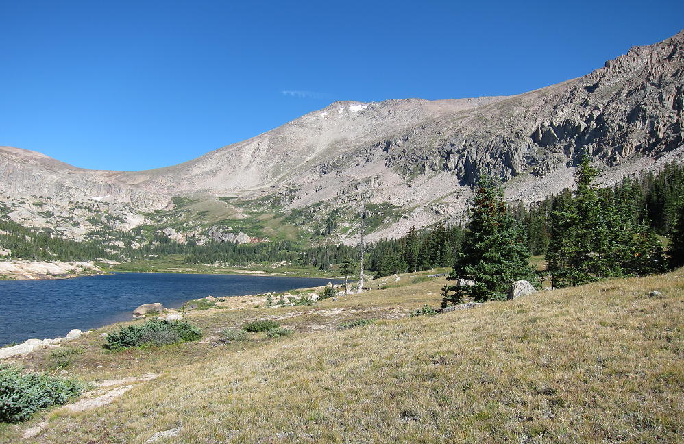
The Lawn Lake Trail is the standard approach to Hagues Peak. This trail runs from the Fall River Road all the way up the Fall River to Lawn Lake. In 1982 the old Lawn Lake Dam failed, and the Fall River flooded. Most of Lawn Lake came rapidly down the steep valley, causing a fatal flood and massive damage for miles downstream. Lawn Lake still exists, but the dam was not rebuilt, so the Lake is smaller than before the flood. It’s a beautiful place, so it’s a popular hiking and backpacking destination.
Hagues from Lawn Lake
The trail starts at 8550 feet, and it’s over 6 miles to Lawn Lake, at 11,000 feet. The trail was damaged in the September 2013 floods, so it’s rocky in spots, but it’s still a fast route up into the Mummy Range. The trail continues past Lawn Lake on the east side, and it efficiently ascends to “The Saddle” at 12,400 feet. From The Saddle it’s possible to climb Hagues Peak via the southwest ridge. This is mostly a rocks-and-blocks climb, and the crux is near the top. Depending on the amount of snow, there are several ways to access the summit from the southwest ridge – some scrambling may be required.
Fairchild, The Saddle, and Hagues
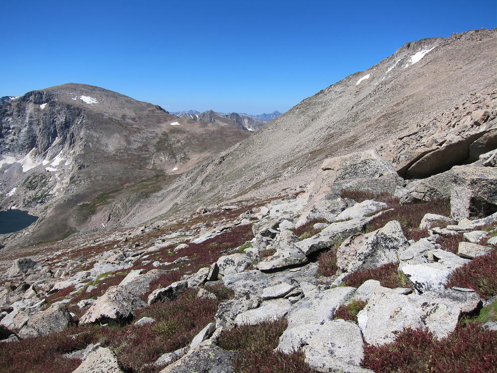
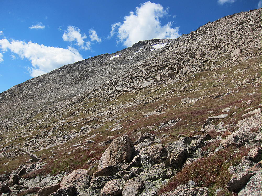
The day I climbed Hagues it was dry, sunny, and very windy; I wanted nothing to do with The Saddle and the southwest ridge! I climbed via the steep tundra slopes south of the Hagues Summit. This unmarked route leaves the main trail at about 11,700 feet, just above where another trail heads southwest toward Crystal Lake. It is possible to climb gullies and steep grassy slopes, eventually heading diagonally, northeast up the slope. The immediate goal is to reach the long saddle between Hagues and Mummy. The higher part of the route up the slopes is easier to the east, but then the trip along the saddle back toward Hagues is longer. The slopes are mostly grass toward the east, and mostly steep scree and rocks toward Hagues. There are many ways to climb, and it’s just personal preference to pick a route.
Hagues South Slopes
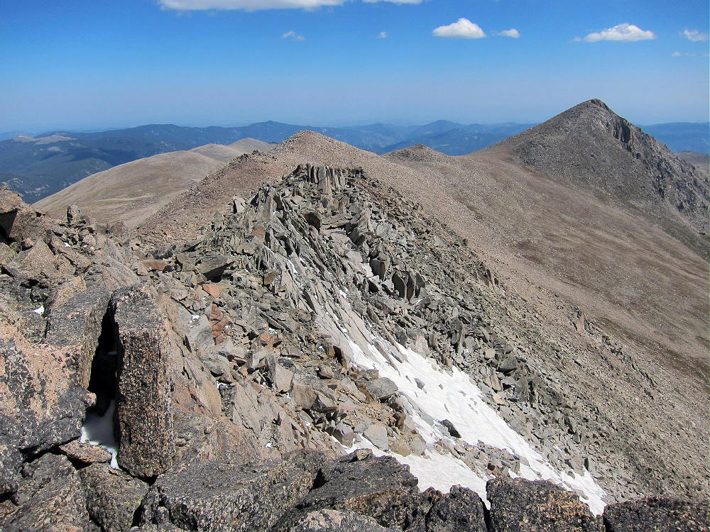
The route along the ridge between the Mummy-Hagues saddle and Hagues summit is mostly rocks and blocks, and it may be easier and safer to hike north of the ridge-top to avoid some of the larger blocks and occasional problems on the ridge. Eventually the ridge reaches the summit, which is a class 2 ascent if everything is dry.
Mummy and Lawn Lake from Hagues
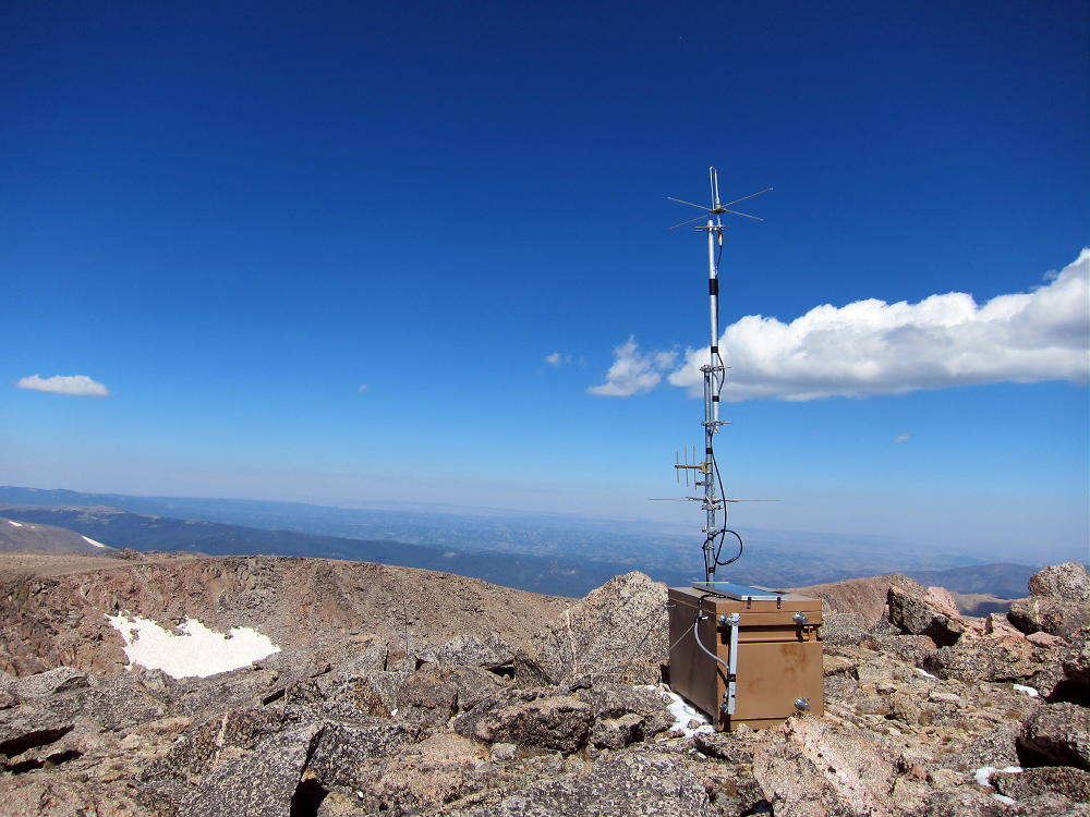
There is a solar-powered NPS repeater on top of Hagues. This is an excellent site with coverage of a huge area, and relatively few visitors climb Hagues, so the location of this device makes good sense. It’s best not to activate close to the repeater, to avoid any possibility of interference.
NPS Repeater on Hagues
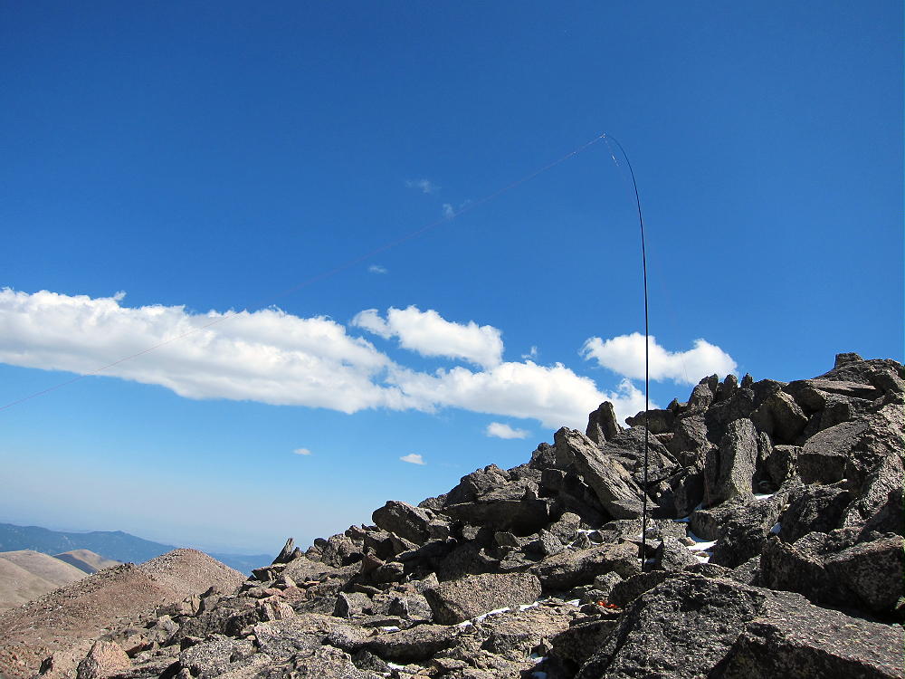
I was able to set up about 30 feet below and north of the summit in a spot where the wind was reduced. Had I not been able to do this, I’m not sure I could have done a successful activation. The wind was gusty and harsh on the summit and ridges, but it was amazing how well everything worked in the lee of the Peak! I had to securely guy my pole and use the tension on the wire to help stabilize the dancing, gyrating mast. The temperature was about 40 degrees during my activation, the sun was bright, and there was corn snow on the shady rocks.
Hagues First Activation
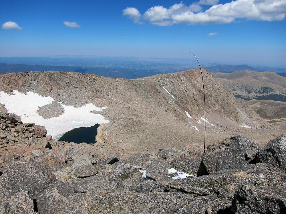
Antenna, Rowe Peak & Rowe Glacier
The route I took to Hagues was approximately 18 miles round trip, with 5000 feet of vertical gain. It took about five hours to hike to the summit. With a normal activation this peak requires most of the day to do. While the weather is windier and colder in late summer, there are more dry days. Hagues and Fairchild Peaks have long approaches and are difficult to activate in mid-summer, because thunderstorms often develop by mid-day, so a very early start is required to reach the summit before storm clouds gather.
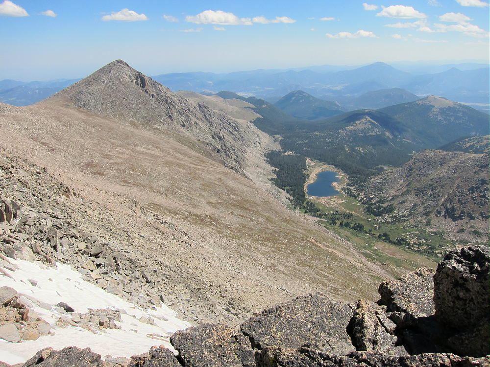
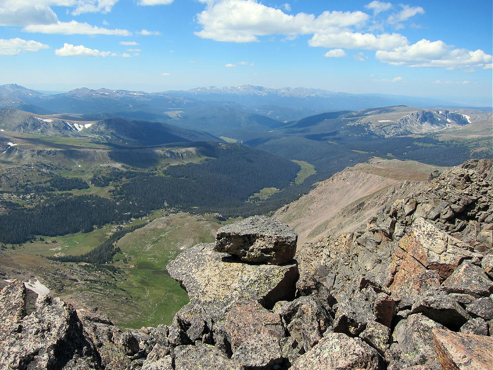
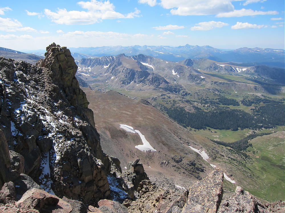
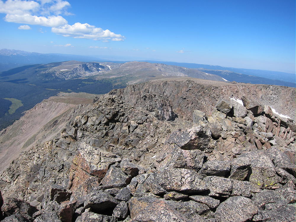
The views from Hagues are some of the best in Rocky Mountain National Park. The entire Mummy Range is heavily glaciated, and it’s half a mile vertically down to Lawn Lake. Rowe Peak and Rowe Glacier to the north are a nice surprise, the Rawah Wilderness is impressive up north, and the Laramie Range is visible in Wyoming. The Plains are visible out east, from north to south, and most of the local high summits are easy to see.
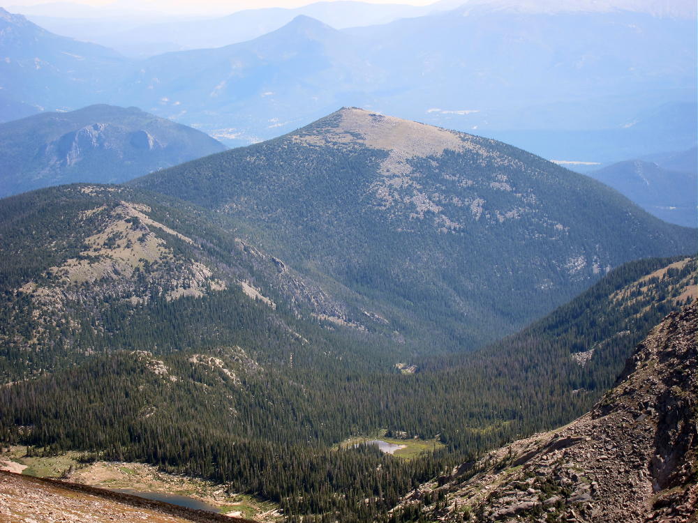
View Down Hague Creek to NW
View off the Back Side of Hagues
View North from Hagues
Numerous SOTA peaks in the Estes Park area and elsewhere stand far below!
Bighorn Mountain from Hagues
Fairchild dominates the view south, with the summit of Ypsilon peeping over. A vast wilderness fills the space north of the Mummy Peaks. Mummy Peak stands like Hagues’ sister 1-1/2 miles to the southeast.
Hagues – Mummy Ridge
Unfortunately Mummy is not quite a SOTA peak, but Hagues and Mummy are a nice pair of high summits on the same very high ridge – they are often climbed together. It is not hard to go over Mummy on the way up or down Hagues. The south slopes of Mummy are a convenient, efficient route up or down from Mummy and Hagues. Bighorn sheep live up on these peaks.
With a base camp at Lawn Lake, it would be possible to activate Hagues or Fairchild with the same hike up to the Saddle between the two big peaks. From the camp, with a dry day, activating both peaks is possible. They are less than 2 miles apart, but the rocky route takes time.
Crystal Lake & Fairchild from Hagues
All this alpine terrain above 11,500 feet is exposed to weather, and it’s a dangerous area in stormy, windy, or cold weather – check the forecast and be prepared!
Hagues Peak is certainly challenging, and it’s a true SOTA Classic!
George Carey Fuller
KX0R
!! WARNING !! There are old mountaineers, and bold mountaineers… there are no old-bold mountaineers.
Hiking and mountain climbing are potentially hazardous activities particularly in Colorado with its extreme elevations. I am not accepting responsibility for any death or injury resulting from activations based on my trip reports. Proper training, experience, and personal capability assessment is required – enjoy!
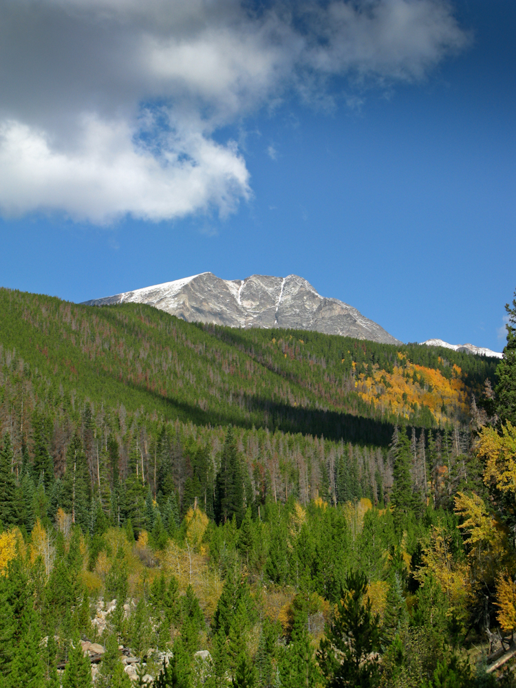
It was a ‘last minute’ decision to go on this activation. WØC/FR-Ø36 or Bighorn Mtn. is located within Rocky Mountain National Park (RMNP), just east of the Mummy Range (Continental Divide). Yesterday we got some snow/rain in the mountains and the road to Mt. Evans is already closed for the season. Trail-ridge road was temporarily closed as well. The weather forecast for today was excellent (at least until later in the afternoon). However, I woke up to thick fog so I could not even see the road, let alone the mountains. The drive up to Estes Park was slow, thanks to the fog and to some heavy trucks in the canyon. I arrived ten minutes later than planned at Lawn Lake trail-head to a beautiful blue sky, bugling elks and pleasant temperatures.
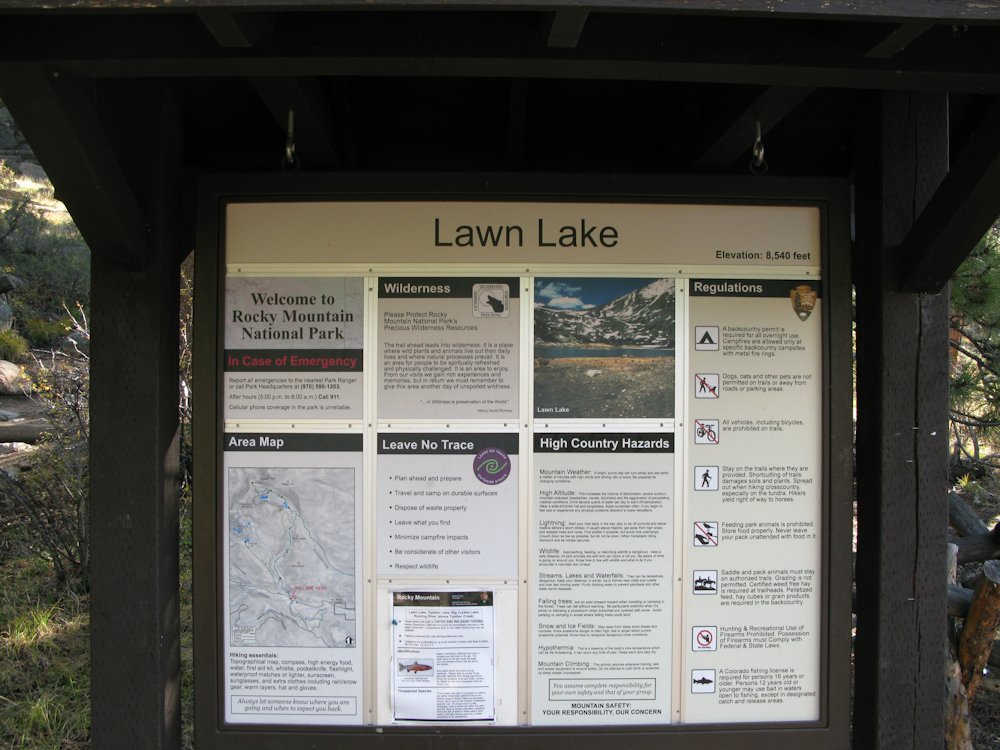
Bighorn Mtn. – Trailhead
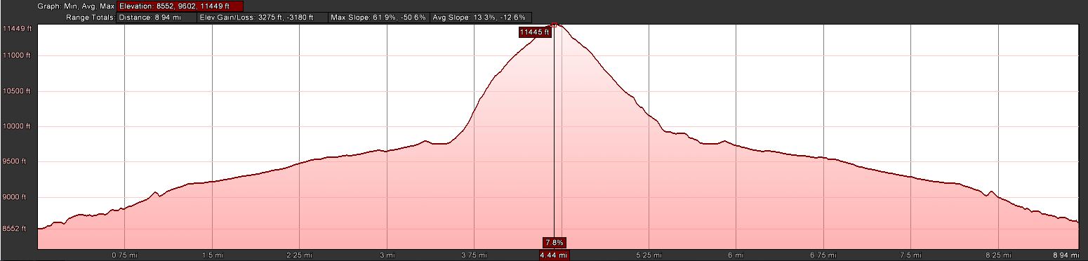
Trailhead: 8552 ft/ 2565 m
Summit: 11463 ft / 3847 m
Elev. gain: 3280 ft / 1000 m
Roundtrip: 9.0 mi / 14.5 km
How to get there: Take US34 from Loveland towards Estes Park through Big Thompson Canyon. Enter RMNP through the Fall River Entrance Station and take a right at the Lawn Lake trail-head sign. A rather large parking lot which can be found shortly after.
Since there is no established trail to Bighorn Mtn., I consulted Google Earth to find a suitable route. An approach from the west seemed to be a good solution because I could follow the Lawn-Lake Trail for about 3.5 miles before turning east, bushwhacking my way up to the summit. The Lawn-Lake trail follows the Roaring River through a gorgeous forest, mainly pines but with a few Aspens groves which sparkled yellow and golden already. On several occasions along the the river you get an idea of the massive flood that occurred here in 1982, killing several hikers/campers. Huge boulders were swept down-rivers like marbles. The steep banks of the river also allow some very scenic views of the northern Mummy Range. Shortly after passing the sign to the Cutbank and Golden Banner camp areas, I left the comfortable trail and started the steep and unpleasant bushwhacking part. I tried to aim for the saddle between Bighorn and Tileson. It was very slow going. Thick forest, steep terrain and slippery boulders (thanks to the rain, the lichens on the boulders were very slick) hampered my progress. Every now and then, I could get a glimpse through the trees to the Mummy Range – a spectacular view from the summit seemed very likely.
The Summit:
Bighorn Mtn – The Summit?
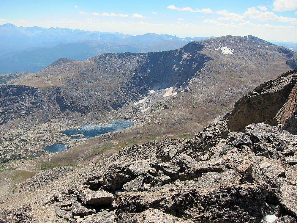
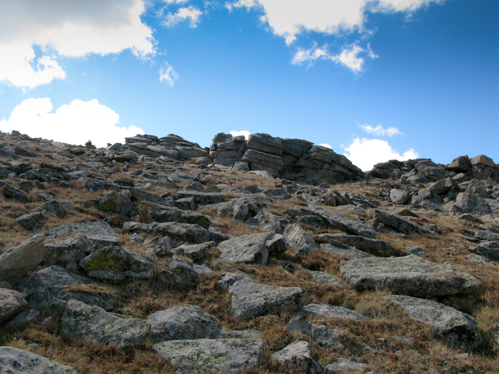
After breaking through the tree-line, I could finally see where I was heading. There were several rock-outcroppings at the top to choose from. The first one I climbed was of course not the summit, but the second one was the highest point and I found a summit book which confirmed that I had indeed reached the top of Bighorn Mtn. The summit is rather large, ideal for multiple activators at the same time. The views are spectacular, one of the best in this area for sure. My initial calls on 2m were unanswered but the HF antenna was up and tuned in no time. Phil/NS7P was the first who answered on 14.343 and thanks to his spot the summit was activated successfully in no time.
The Descent:
I tried to find a gentler and easier way down, heading more towards the saddle. The fact that I could actually see where I am going helped quite a bit. The first part was just fine but I ended up in similarly steep terrain, trying to find the Lawn Lake trail. I hit the trail at the same location I had left it, thanks to GPS technology :)
Some video impressions: httpvh://www.youtube.com/watch?v=f4DjZ5q9cj0
If you would like to leave questions or comments, please do so through Youtube.
!! WARNING !! There are old mountaineers, and bold mountaineers… there are no old-bold mountaineers.
Hiking and mountain climbing are potentially hazardous activities particularly in Colorado with its extreme elevations. I am not accepting responsibility for any death or injury resulting from activations based on my trip reports. Proper training, experience, and personal capability assessment is required – enjoy!
Ypsilon Mountain (WØC/FR-ØØ9) is located in Rocky Mountain National Park (RMNP) and is part of the Mummy Range. The Mummy Range is a sub-range of the Front-Range of the Rocky Mountains and consists of six 13’ers (and a slew of lower ones). Starting with Mount Chapin in the south-west, it arcs to the north-east and ends with Signal Mountain. Some of the more prominent peaks are also SOTA summits. Ypsilon Mtn. was first activated about a month ago by N7UN (Guy) – here is his activation report.
The trip was planned for Sunday and we got the first snow-fall of the season on the Wednesday before. Thus, the access road to the trail-head was closed by the Park-Service on Thursday but re-opened on Friday. The weather forecast was great for Sunday, and even better – my wife was going to join me on this trip as well – all signs pointed towards a great trip.
The original plan was to activate Fairchild Mountain (WØC/FR-Ø1Ø – 4115 m / 13502 ft) which is just a mile or two from Ypsilon Mountain. However, after reaching the steep ridge joining Ypsilon and Fairchild Mountain we reconsidered the plan for safety reasons. The amount of snow and ice on the ridge combined with the high winds (30-40 mi/h) made us abandon the plan and we climbed Ypsilon Mtn. instead.
The first few peaks in the south-west of the Mummy Range can be reached from the Chapin Pass trail-head.
Trailhead: 11041 ft / 3365 m
Summit: 13514 ft / 4119 m
Elev. gain: 3019 ft / 920 m
Roundtrip: 7.34 mi / 11.8 km
How to get there:
Take US34 from Loveland to Estes Park through Big Thompson Canyon. In Estes Park, stay on US34 and enter RMNP through Fall River Entrance Station. Just after Sheep Lakes, take a right onto Old Fall River Road – a one way dirt road going all the way up to the RMNP Alpine Visitor Center. The dirt road is in pretty good shape but be careful in some of the switchbacks if you do not have a high-clearance vehicle. Around mile-marker six, the trail-head is on the right side of the road and the car can be parked across the road. Space is limited to 10-12 cars max.
RMNP charges an entrance fee of $20/car (valid for seven consecutive days). The usual passes are accepted as well. For details check their website.
Old Fall River road is a one-way dirt road which is often closed due to adverse weather conditions. You can check the road conditions on this website.
Few parking spots – you have to be early to claim your spot at the TH.
It is high country… weather conditions can change really fast. Afternoon lightning storms are not uncommon in summer.
The Ascent:
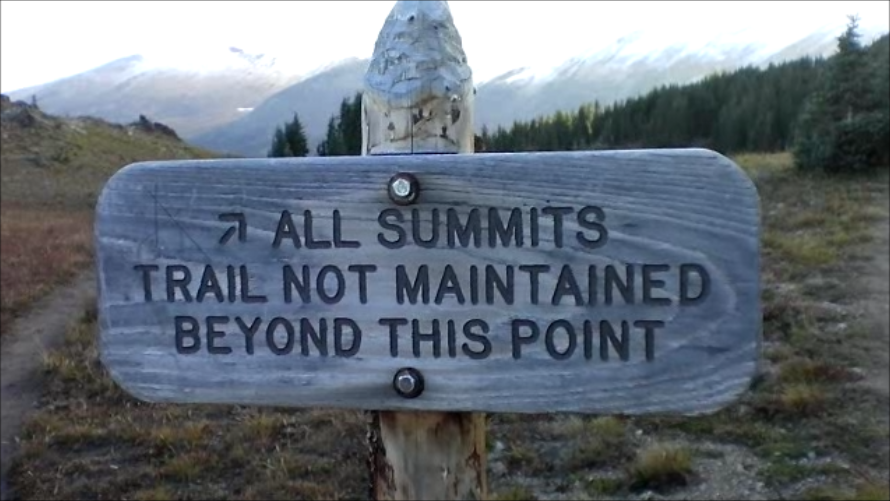
The first section of the trail leads through large and mature pine trees. The trail is well established and clearly marked by NP signs. After reaching the treeline, a last sign indicates
To all summits
the direction to reach ALL SUMMITS and the fact that the trail is not maintained beyond the sign. Nevertheless, it is quite easy to follow the rock-slide area to the saddle between Chapin (3795 m/12454 ft) and Chiquita Mountain (3983 m/13069 ft). Here we experienced the first snow on the ground and extreme winds on the saddle. We followed the trail up to the fake summit of Ypsilon Mtn. Walking upright and in a straight line was rough at times – the icy, howling wind felt like a thousand needles in the face and the summit was engulfed in blowing snow and ice crystals. It felt, sounded and looked more like an ascent to Nanga Parbat – but the GPS confirmed that we are still in Colorado. We tried to stay on the contour line leading directly to the ridge between Ypsilon and Fairchilk Mountain to avoid unnecessary elev gain/loss. A trail was no longer available/visible. The rocky and barren surface was covered by wind-pressed snow and ice. On several occasions I sank into deep snow-drifts well above my knees. However, the route is easy to pick – there are no obstacles to navigate.
The Summit:
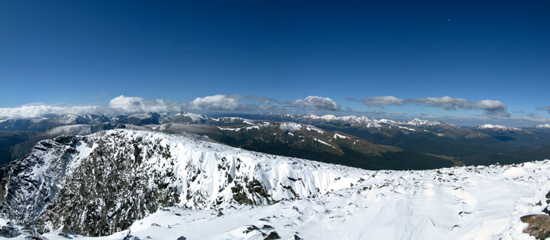
The summit offers incredible views in all directions. It also provides two stone wind-shelters which were filled with drifting snow and could unfortunately not be used at all – leaving us exposed to the howling winds.
Panoramic view from the summit
Under normal circumstances the summit provides ample space to set up the equipment – however, the low temperatures (~10 to 15 F [-12 to -15 C] ) and high winds (~30-40 mi/h) made my teeth chatter (literally), and taking off the gloves was not something I was looking forward to either. Setting up the equipment for 15-20 minutes under this conditions was just not an option. In order to still be able to activate the summit and claim my SOTA points I used my HT on 146.52 MHz to quickly get some QSO’s. I wrapped it up within 5 minutes on the summit, took a few snapshots, put my gloves back on (trying to get the blood flowing in my fingers again ) and we headed downhills with the wind now in our face.
The Descent:
It was a quick retreat against the wind, following basically the same route. We had not had an opportunity yet to eat lunch, and we were looking for sheltered space. There was nothing until we reached the treeline – it was still cold but getting out of the wind after more than 5 hours was a nice change.
To get back to Estes Park, we had to follow the Old Fall River Road up to the Alpine Visitors Center of the RMNP. From there we took Trail Ridge Road east – a quite scenic drive through the heart of the Rockies.
Some video impressions:
The weather conditions were not ideal to take a lot of photo/video shots. I only have a few clips when the wind was not too bad.
httpvh://www.youtube.com/watch?v=-K1YZeKOido
If you would like to leave questions or comments, please do so through Youtube.
!! WARNING !! There are old mountaineers, and bold mountaineers… there are no old-bold mountaineers.
Hiking and mountain climbing are potentially hazardous activities particularly in Colorado with its extreme elevations. I am not accepting responsibility for any death or injury resulting from activations based on my trip reports. Proper training, experience, and personal capability assessment is required – enjoy!
 !! WARNING !! There are old mountaineers, and
bold mountaineers… there are no old-bold mountaineers.
Hiking and mountain climbing are potentially hazardous activities particularly in Colorado with its extreme elevations. I am not accepting responsibility for any death or injury resulting from activations based on my trip reports. Proper training, experience, and personal capability assessment is required – enjoy!
!! WARNING !! There are old mountaineers, and
bold mountaineers… there are no old-bold mountaineers.
Hiking and mountain climbing are potentially hazardous activities particularly in Colorado with its extreme elevations. I am not accepting responsibility for any death or injury resulting from activations based on my trip reports. Proper training, experience, and personal capability assessment is required – enjoy!