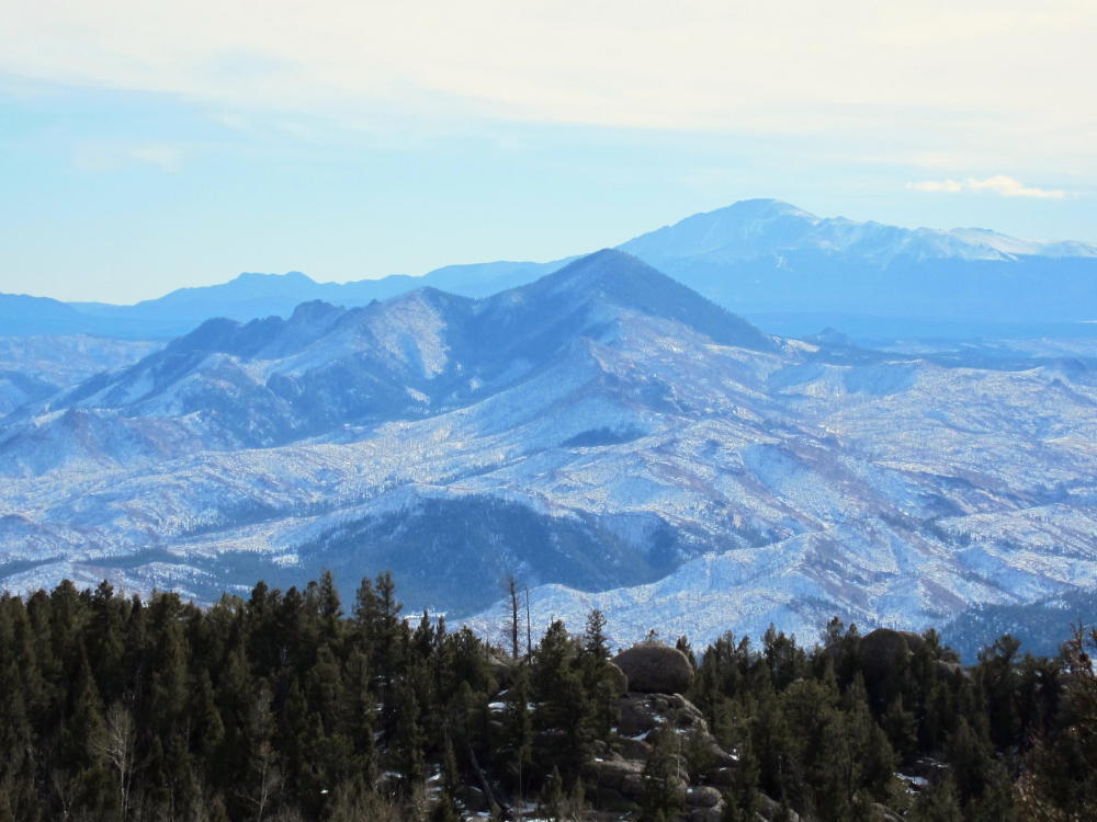
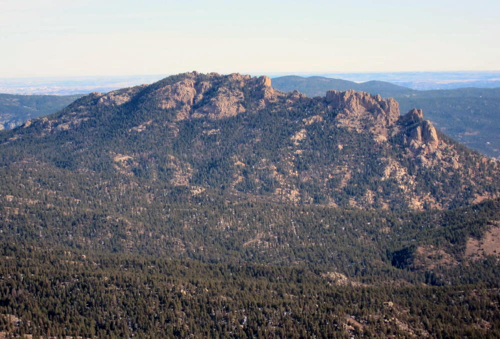
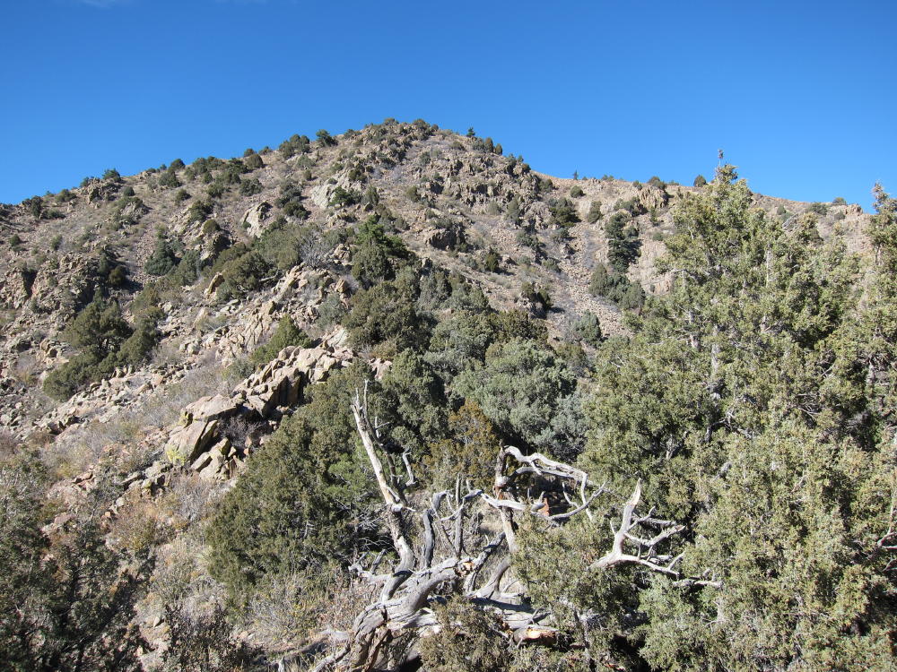
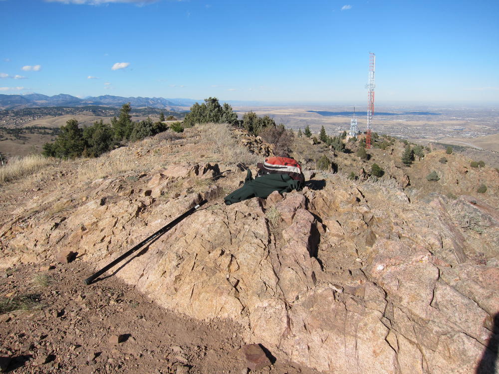
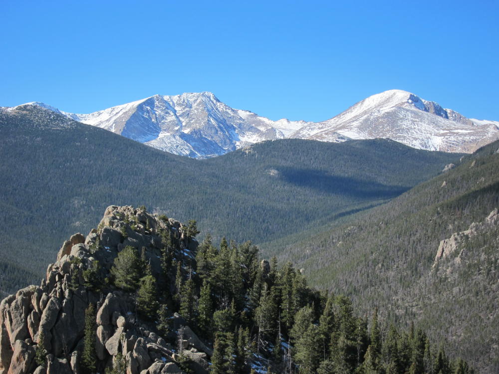
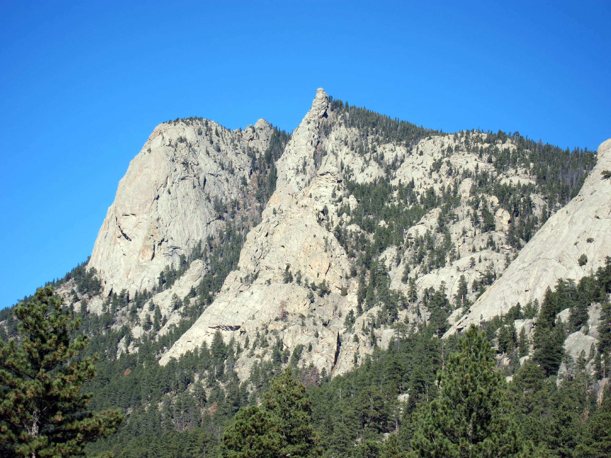
W0C/SP-090 (Crooked Top Mountain) – 3183 M / 10465 ft
Oct 24, 2013 – First Activation
by KX0R
Crooked Top is well-hidden, but it’s a fine SOTA peak. It takes some effort to find it and climb it, so it gets few visitors. When climbed and activated along with its sister summit 10140, W0C/SP-098, Crooked Top provides a rewarding outing.
The route to Crooked Top begins with a drive west from Denver on Highway 285. Crooked Top is located about 4 miles NW of Bailey, but the best road approach is via Road 43, the Deer Creek Road. The marked turn to Road 43 is about one mile east of Crow Hill. From 285, turn right (north) on 43A, continue north about 0.4 mile to 43, and then drive northwest on 43 about 6 miles. Find Saddlestring Road, turn left, cross over Deer Creek, and follow Saddlestring past several other roads to a large parking area and a marked 4WD road (997/P-63) leading uphill – south – into the Pike National Forest. The entire route is shown accurately on Google Maps. Follow 997/P-63 about two miles, first west and then south, until it becomes Forest Road 101, at a junction with FSR-105. Continue southeast on 101, approximately along the 9400 foot contour line, for more than a mile.
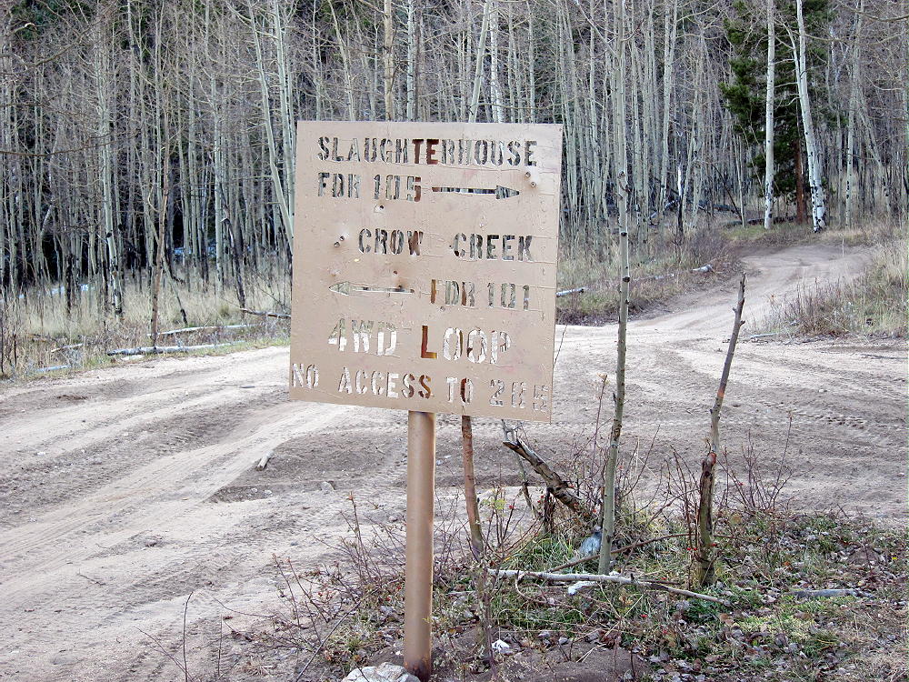
Road 101 has two junctions with FSR-105, a 4WD loop road leading over the ridge to the SW. There is a large gate at the second (SE) junction. When I went up there in late October, that gate was closed across 101 – if the gate is open, you may be able to drive all the way to the Pass at about 9550 feet, between Crooked Top and 10140. If the gate’s closed, just park there and walk up the gentle road to the Pass.
A couple of key points:
1. The route from Saddlestring Road to the pass at 9550 is called a 4WD road on signs, but it’s not a true 4WD road – 2WD vehicles with medium to high clearance can handle this road, as long as conditions are OK and the driver is careful. There are plenty of rocks and other problems, and it’s over 4 miles of bumps, but there are no really steep spots, big humps, mud-holes, or large rocks. It appears that dispersed camping and fires are permitted along the road.
2. There is no open road from the 9550 Pass to the southeast. You cannot drive NW from Crow Hill (285) and reach the 9550 Pass from the south. There may have been such a road (101) up Crow Creek in the past – it is shown on some maps – but it is no longer an option. Google Maps is correct – 101 continues down SE from the Pass for about 1.5 miles, but it either dead-ends or is blocked. There also was a locked gate at the pass the day I was there, and there is a fence across the Pass. Despite the barriers, much of the land immediately south of the Pass, including Crooked Top Mountain, is in Pike National Forest.
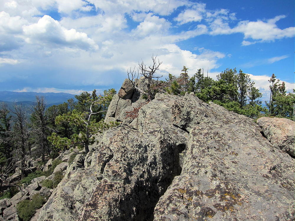
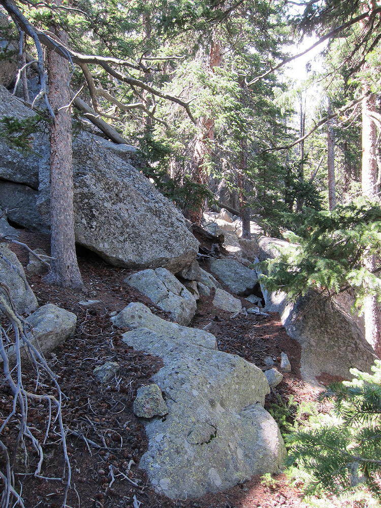
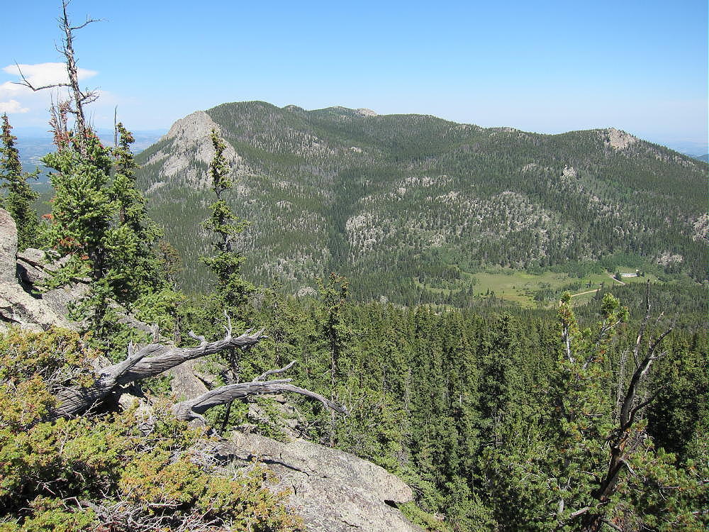
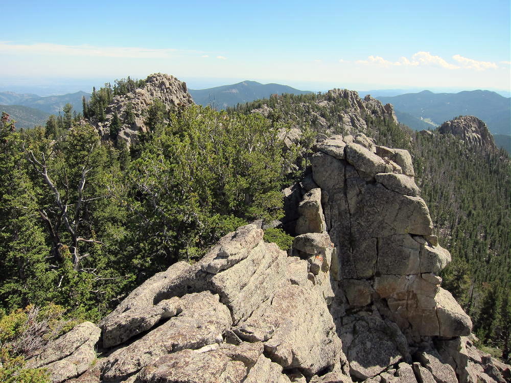
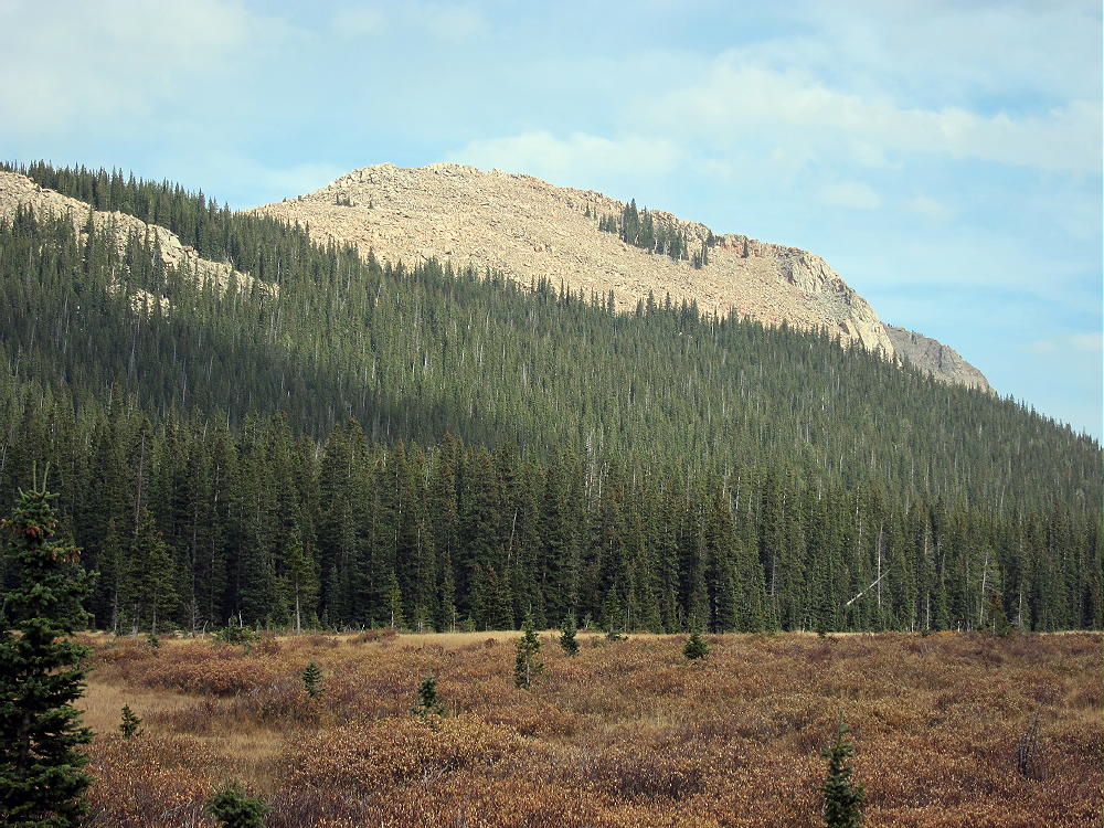
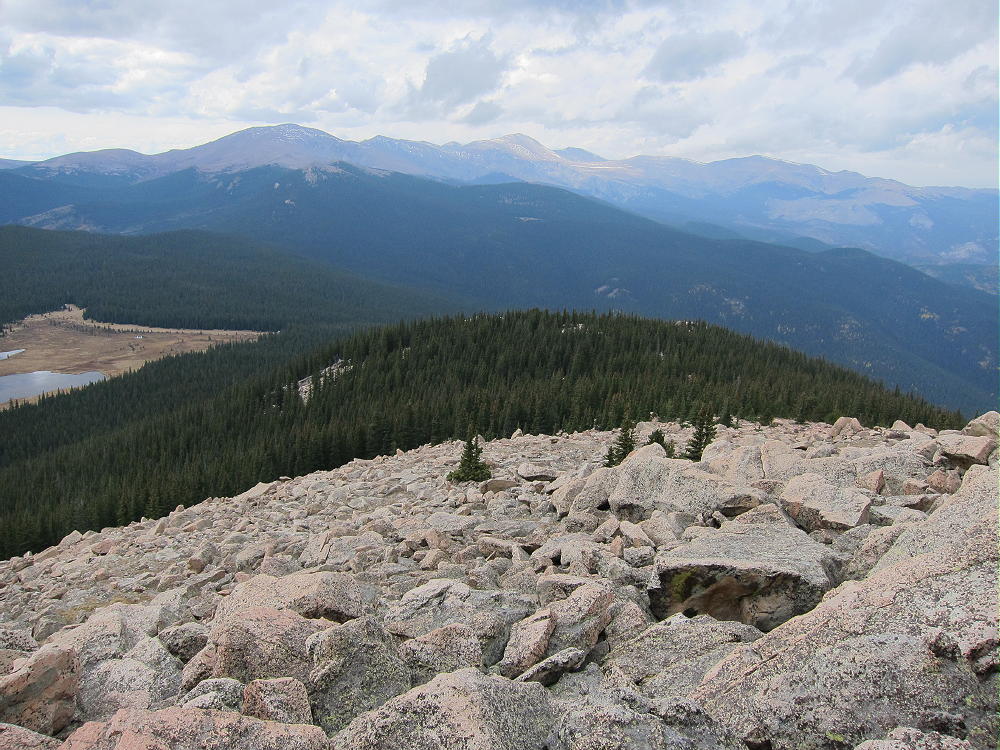
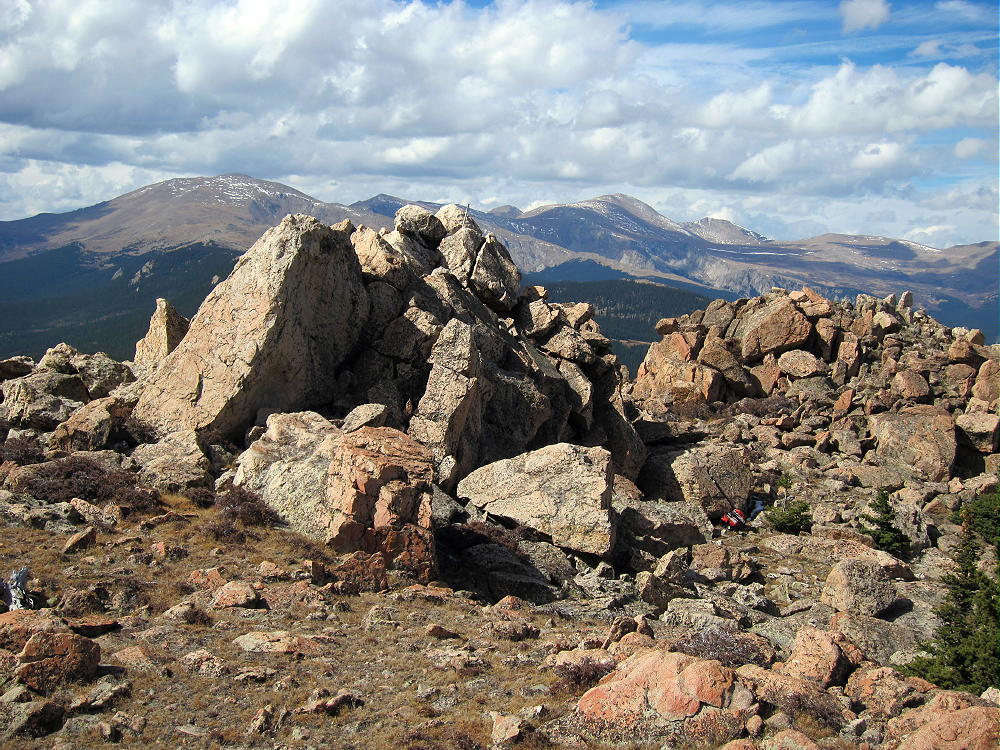
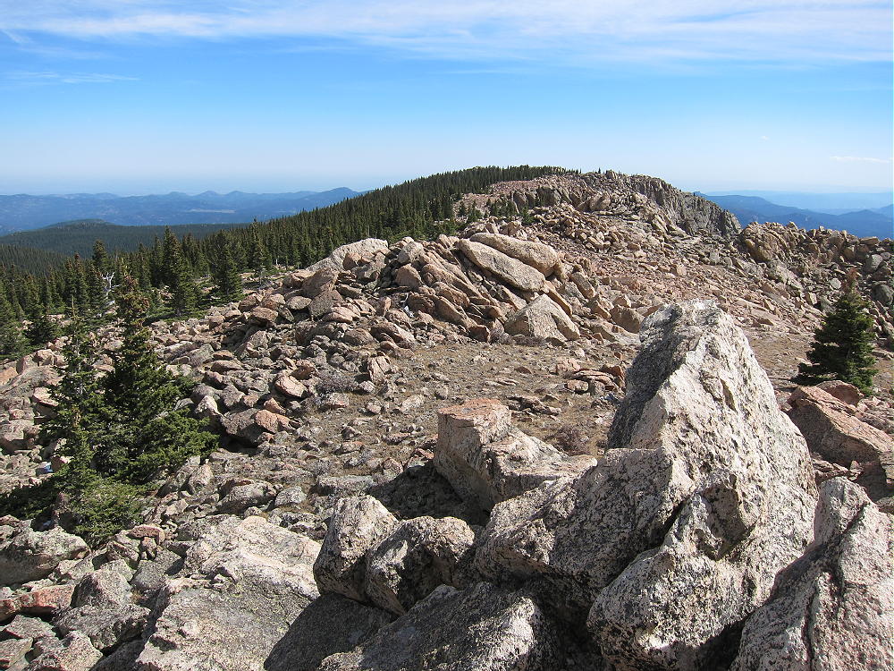
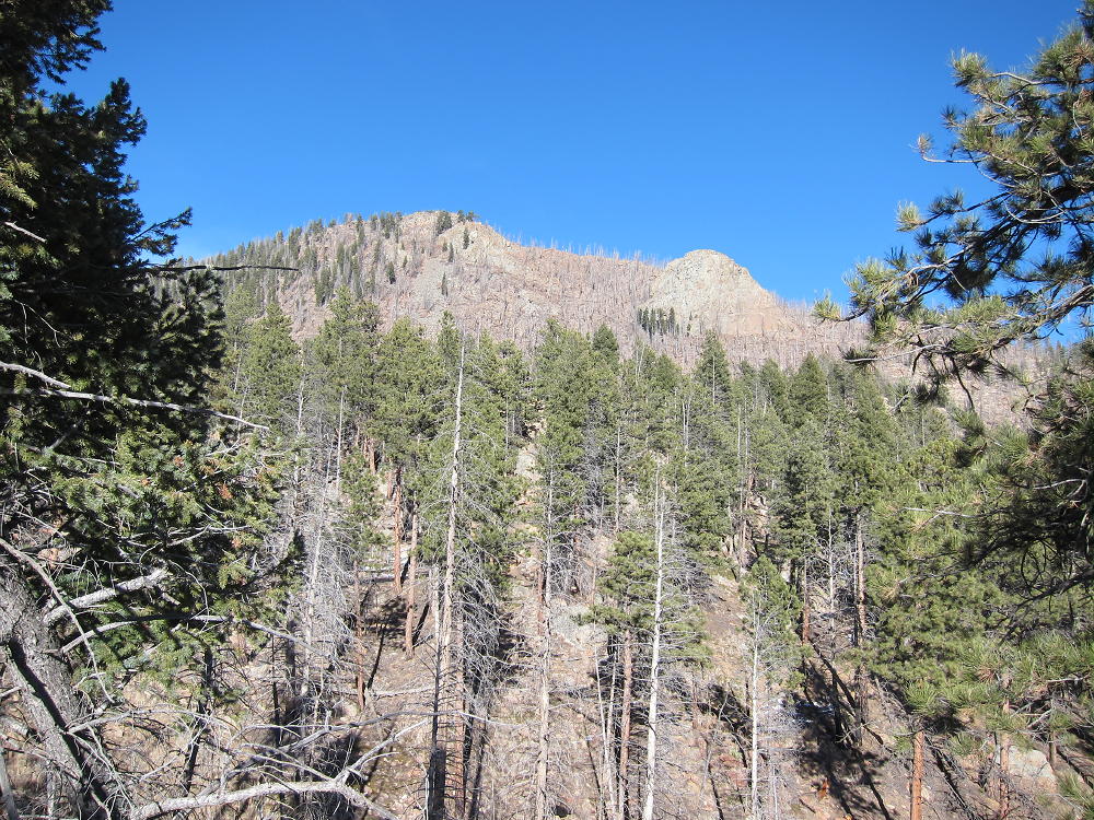
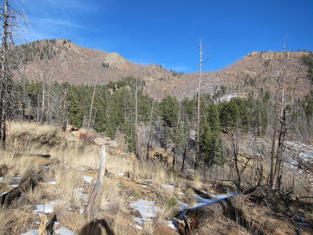
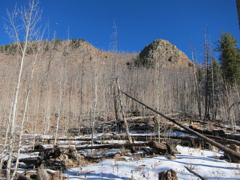
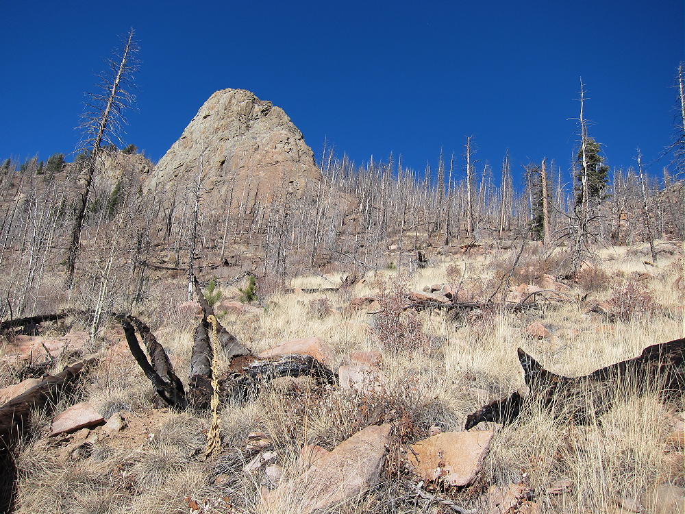
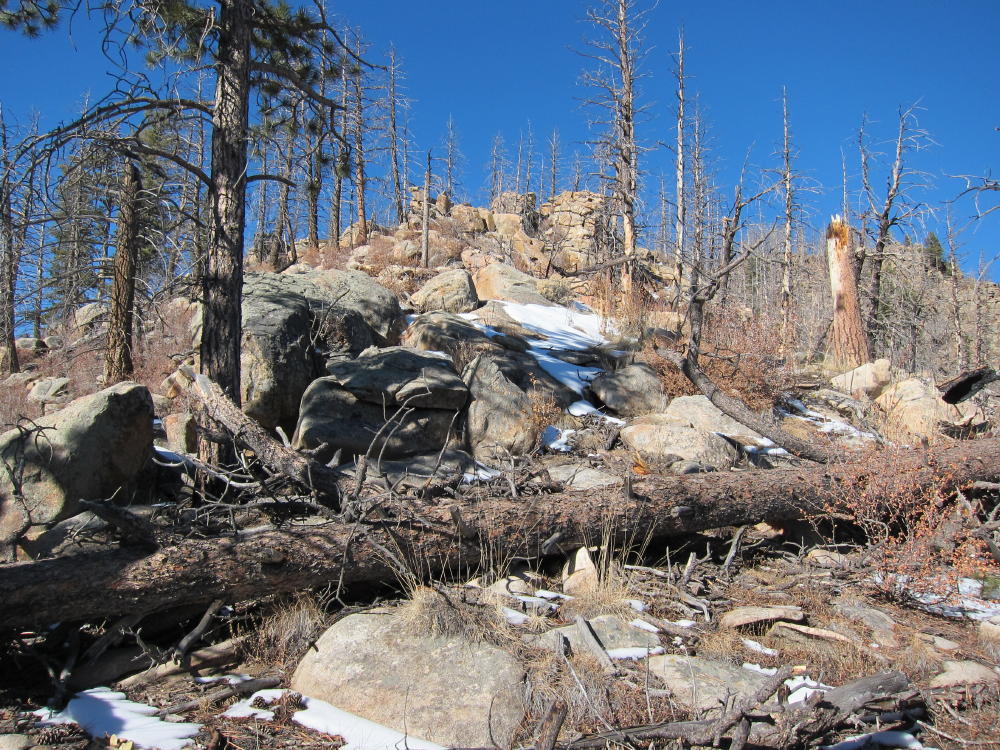
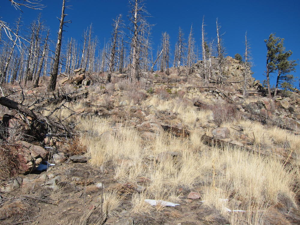
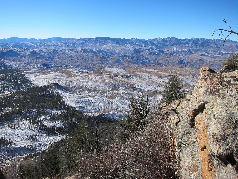
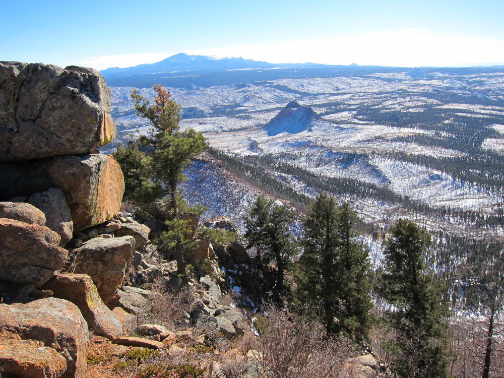
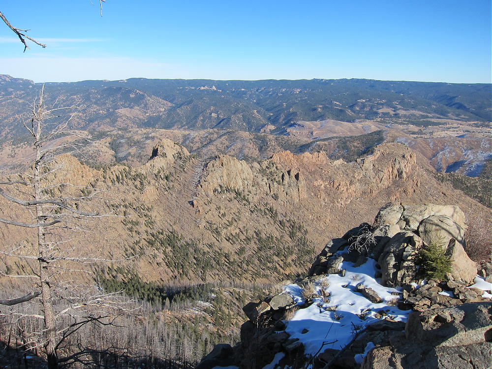
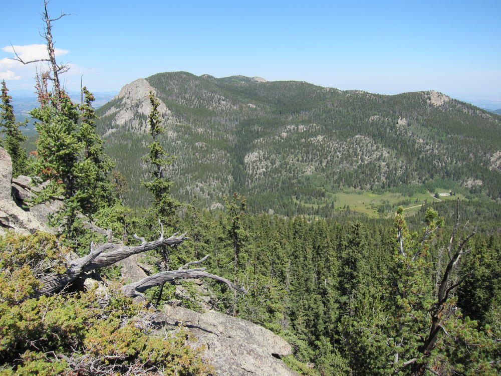
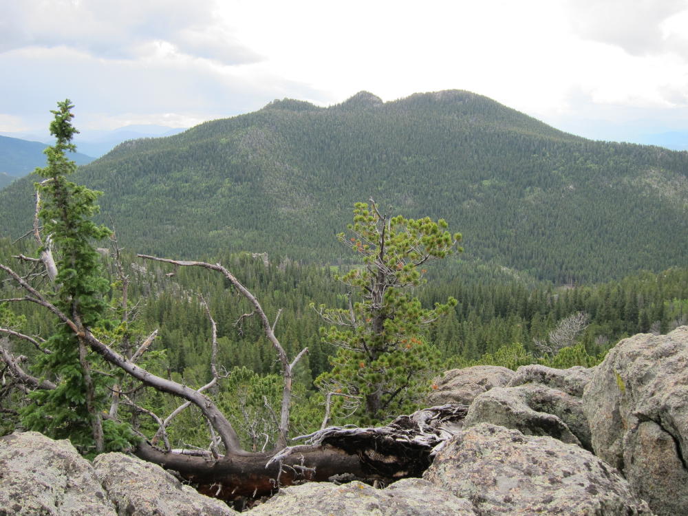
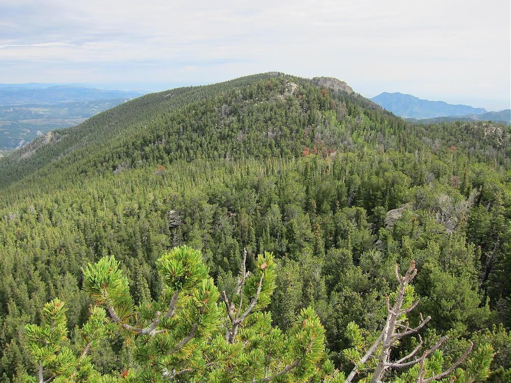
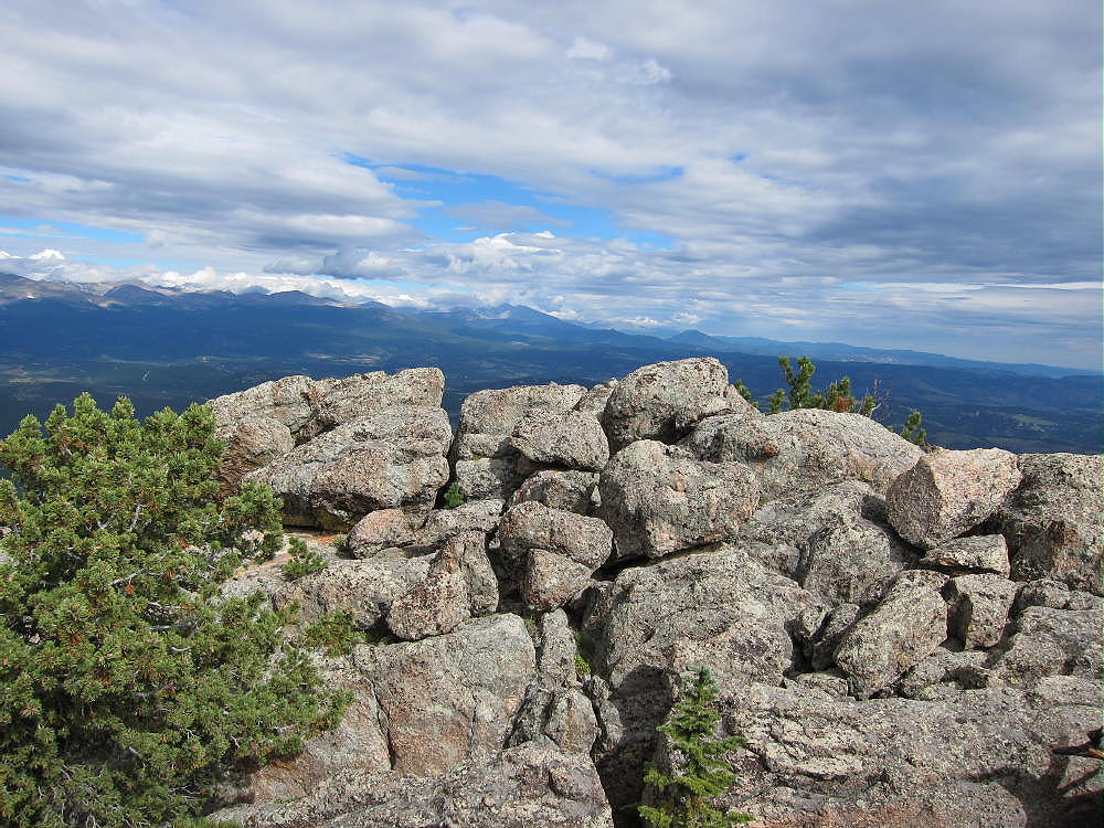
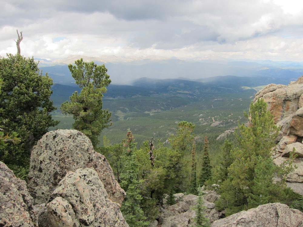
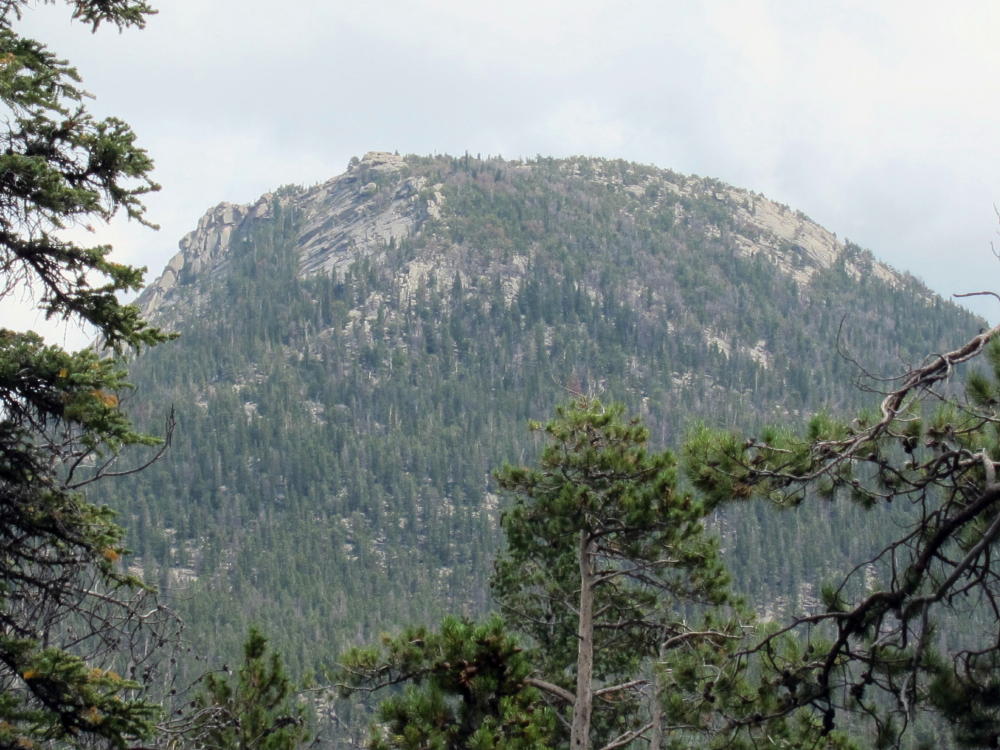
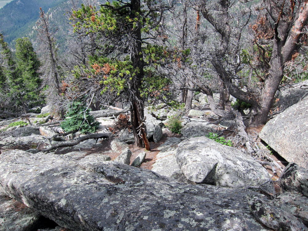
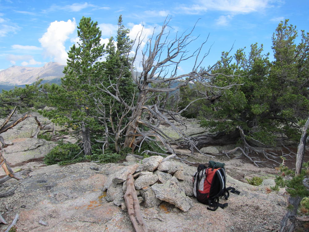
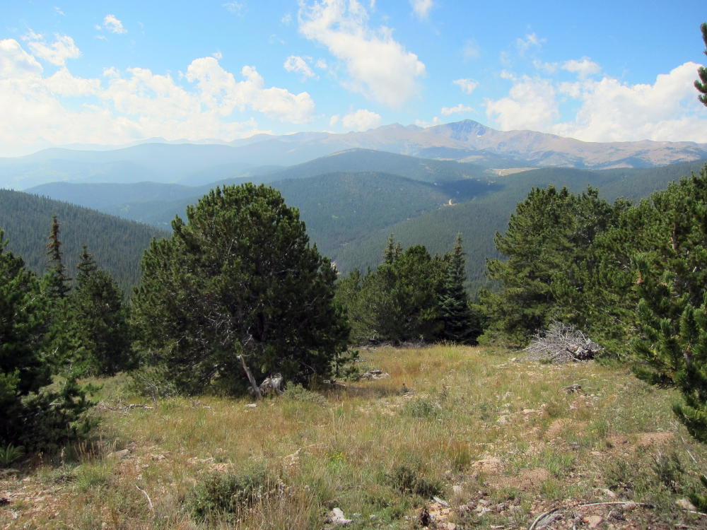
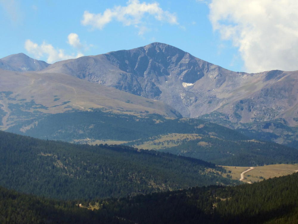
Crooked Top Mountain towers about 900 feet above the 9550 Pass; from the Pass, head up east along the fence until you come to the remains of an old road. Follow this road up SE a short distance until it ends, and then climb directly east, up the moderately steep west slope of Crooked Top, all the way to the ridge just NW of the summit. Once on the ridge, follow the ridge SE up to the summit. There are several rocky knolls on top – the actual summit is toward the SE. There are great views there, as well as nice spots to set up and activate. With some shelter from wind, ample space, and trees suitable for antenna supports, the summit is friendlier than many. This wild peak sees few visitors – but it’s a classic SOTA peak.
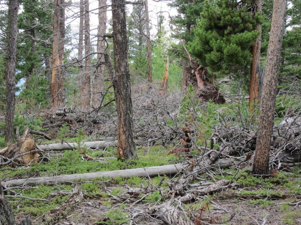
The descent is the reverse of the climb. Strong knees are required to descend – it’s 900 vertical feet down to the Pass, and 700 of those feet are directly down the slope. The west side of Crooked Top is relatively open, with little talus, no cliffs, and few fallen trees – but avoid the steep south slopes below the summit.
After returning down to the Pass, you can decide whether to activate 10140. See the trip report for that peak – the route is simpler and easier than Crooked Top, so doing them both for 8 points is a great idea if weather and time allow. These two peaks make for a classic dual SOTA activation!
George Carey Fuller
KX0R
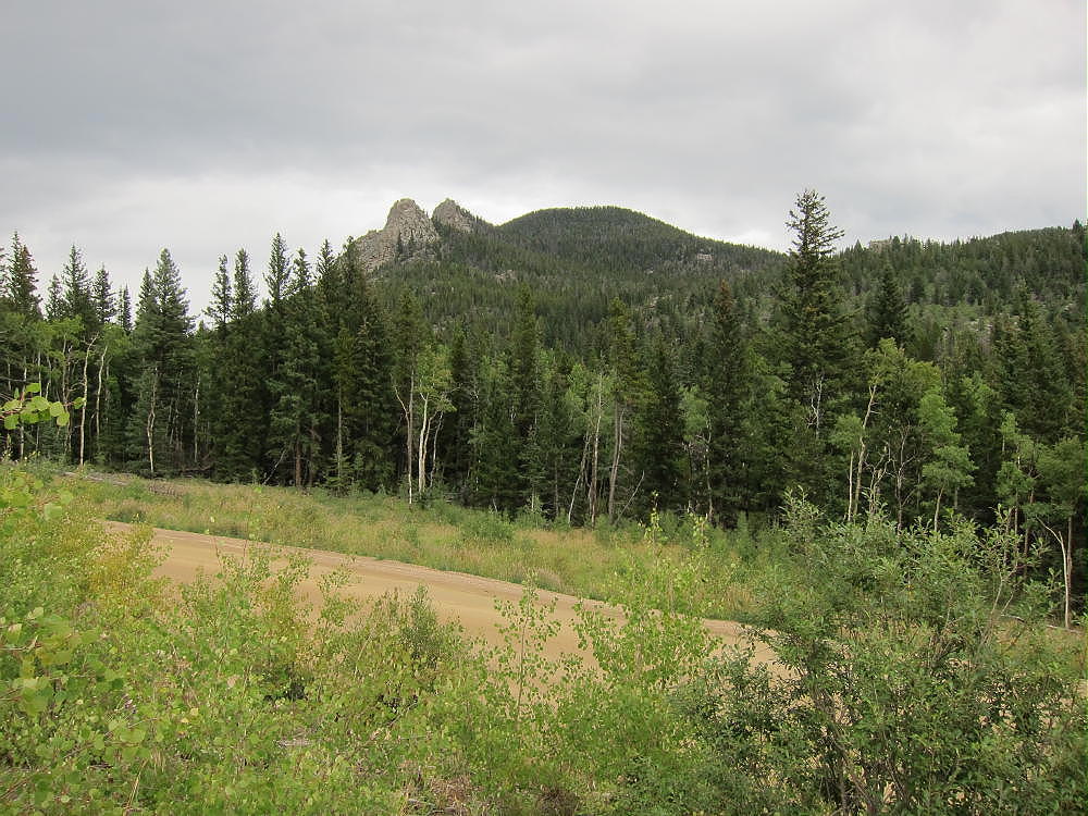
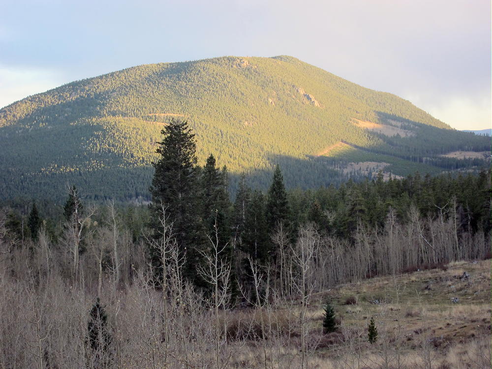
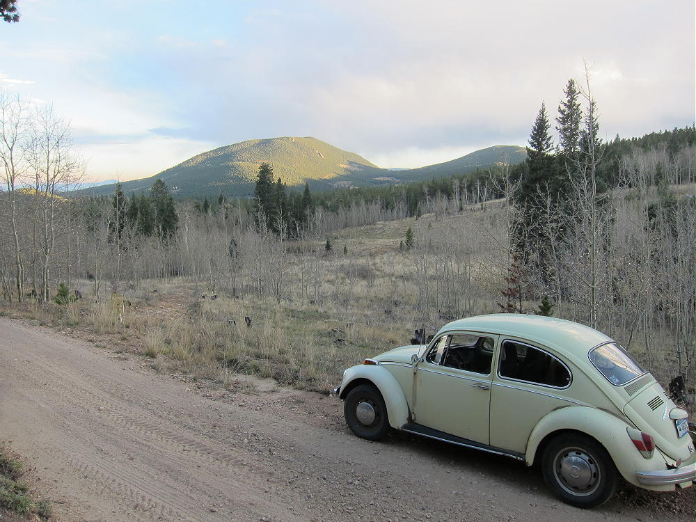
Sunset on Crooked Top
Junction with FSR-105 and FSR-101
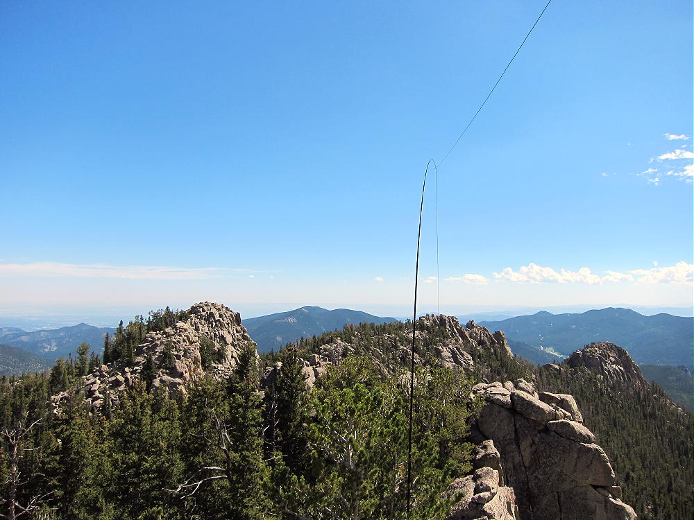
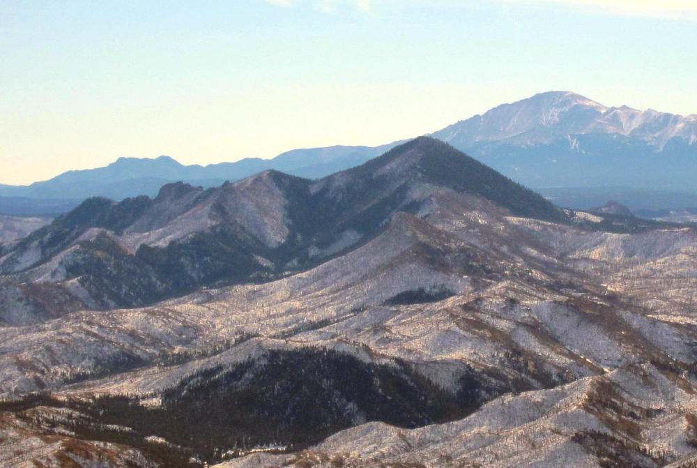
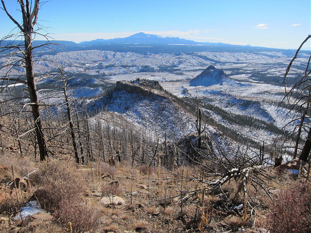
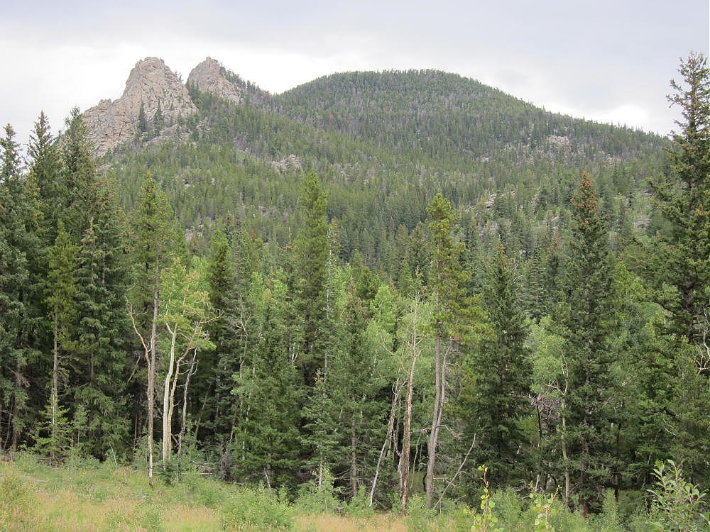
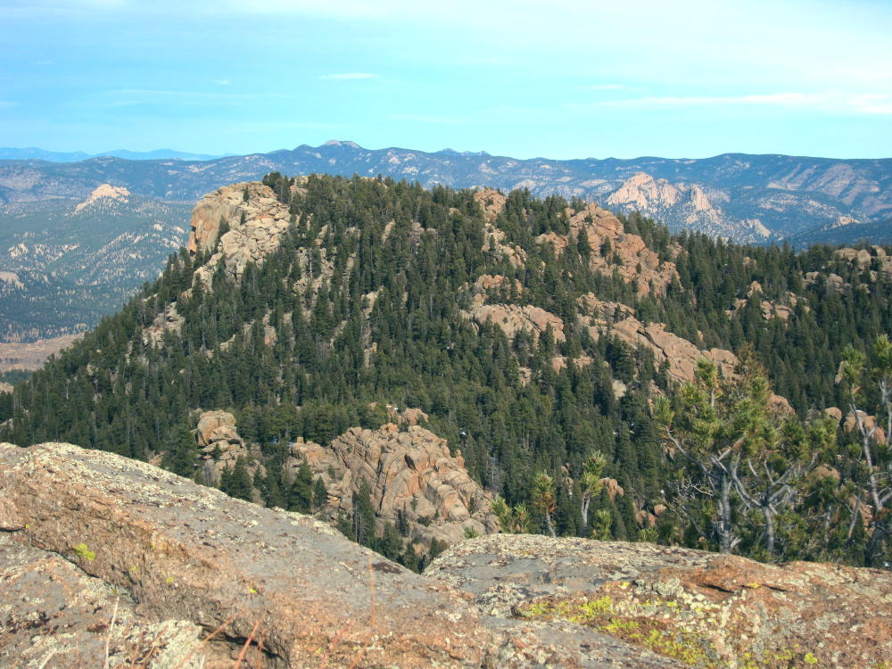
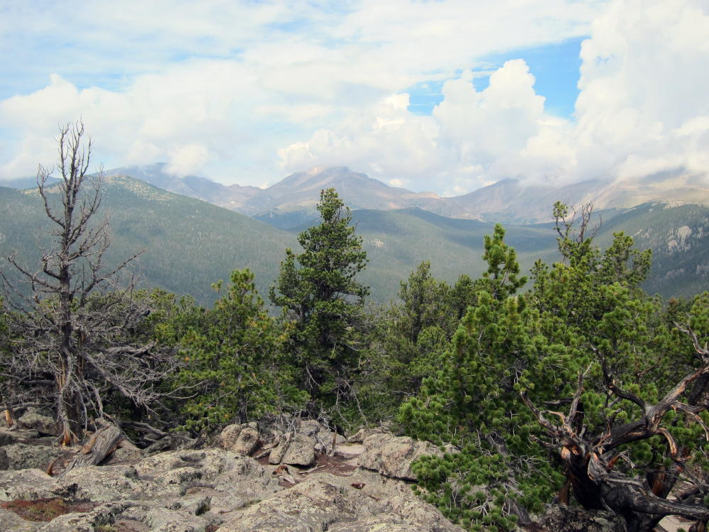
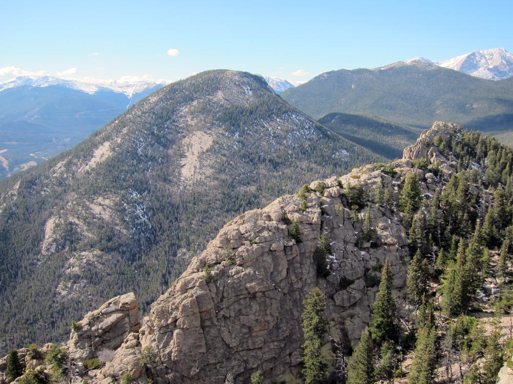
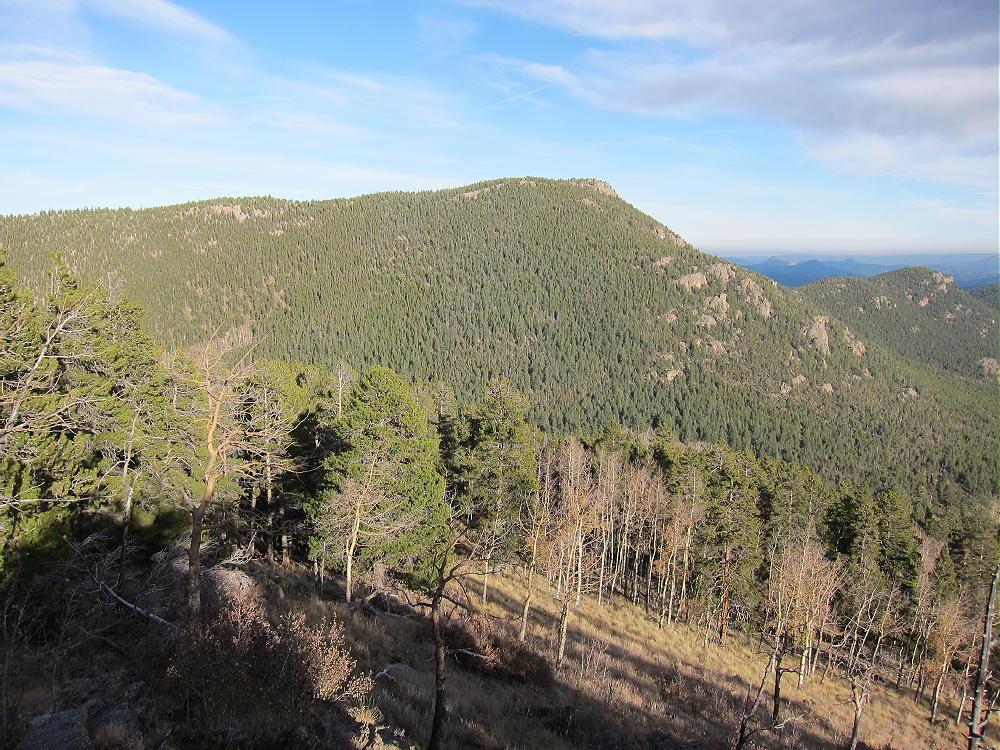
Crooked Top Viewed from 10140
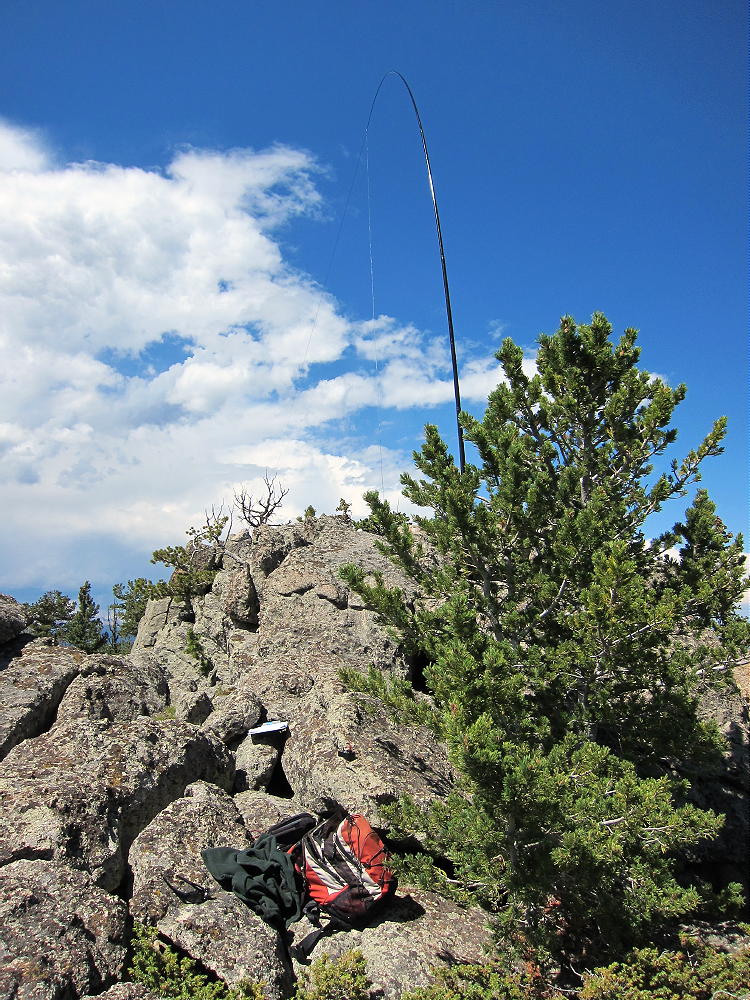
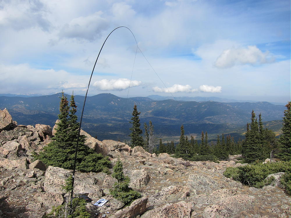
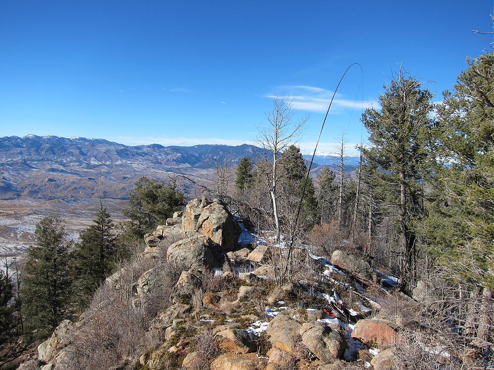
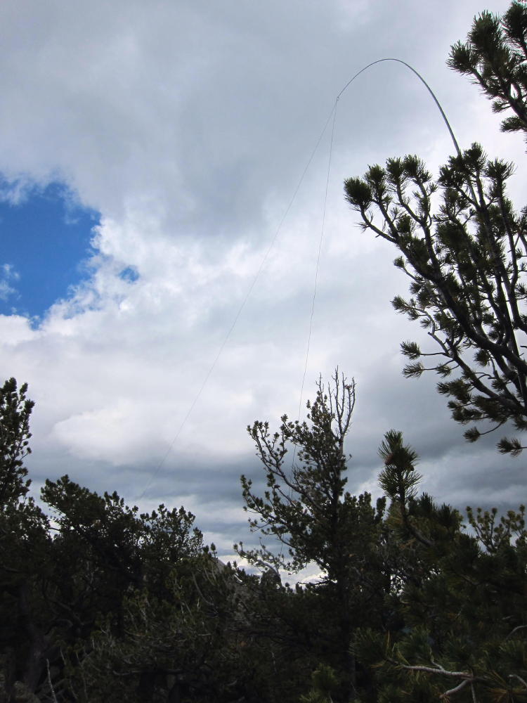
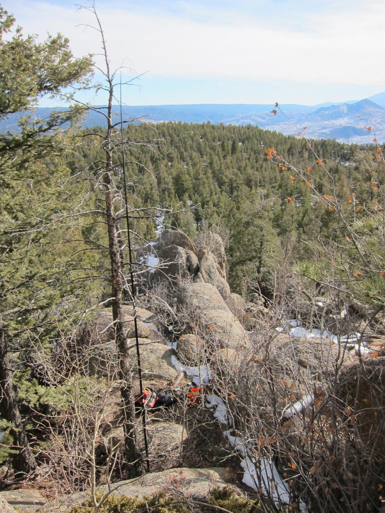
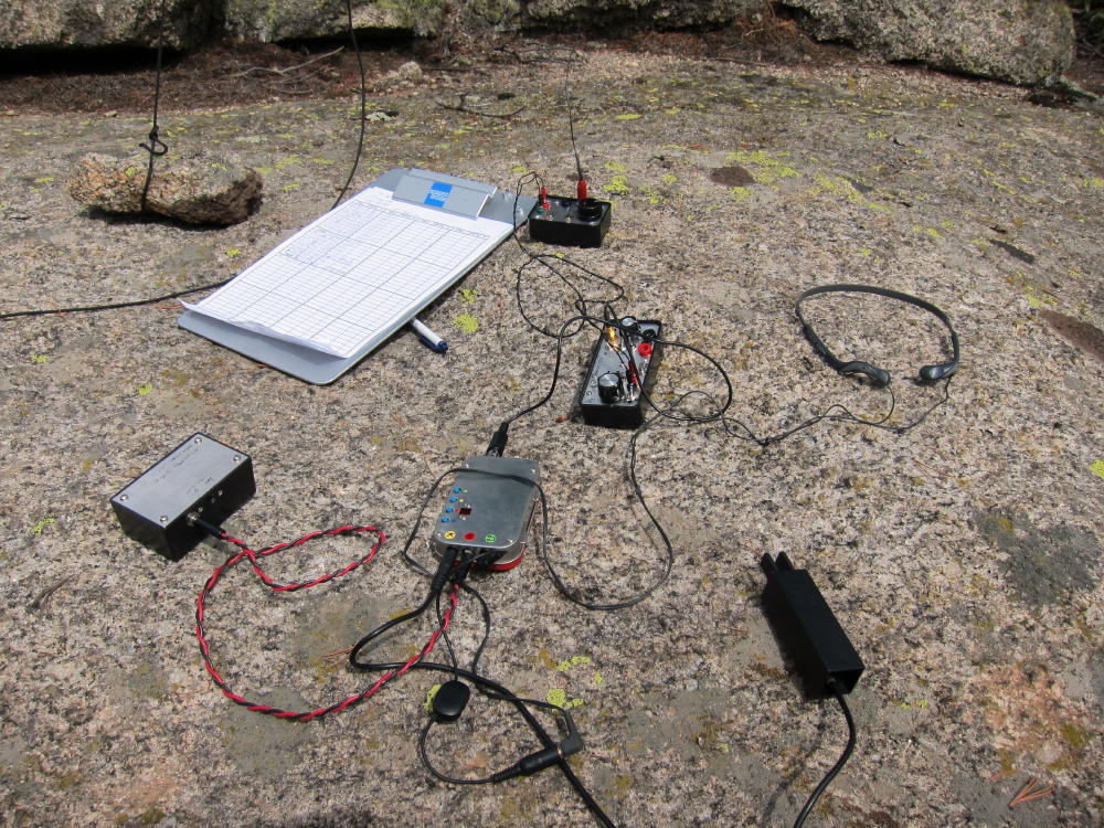
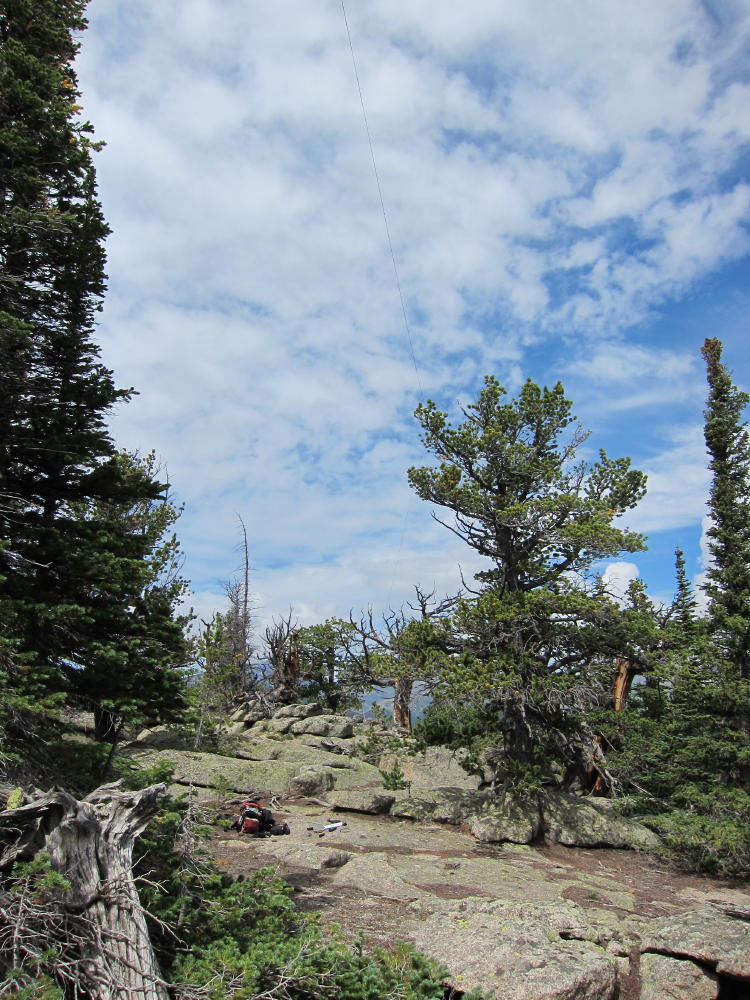
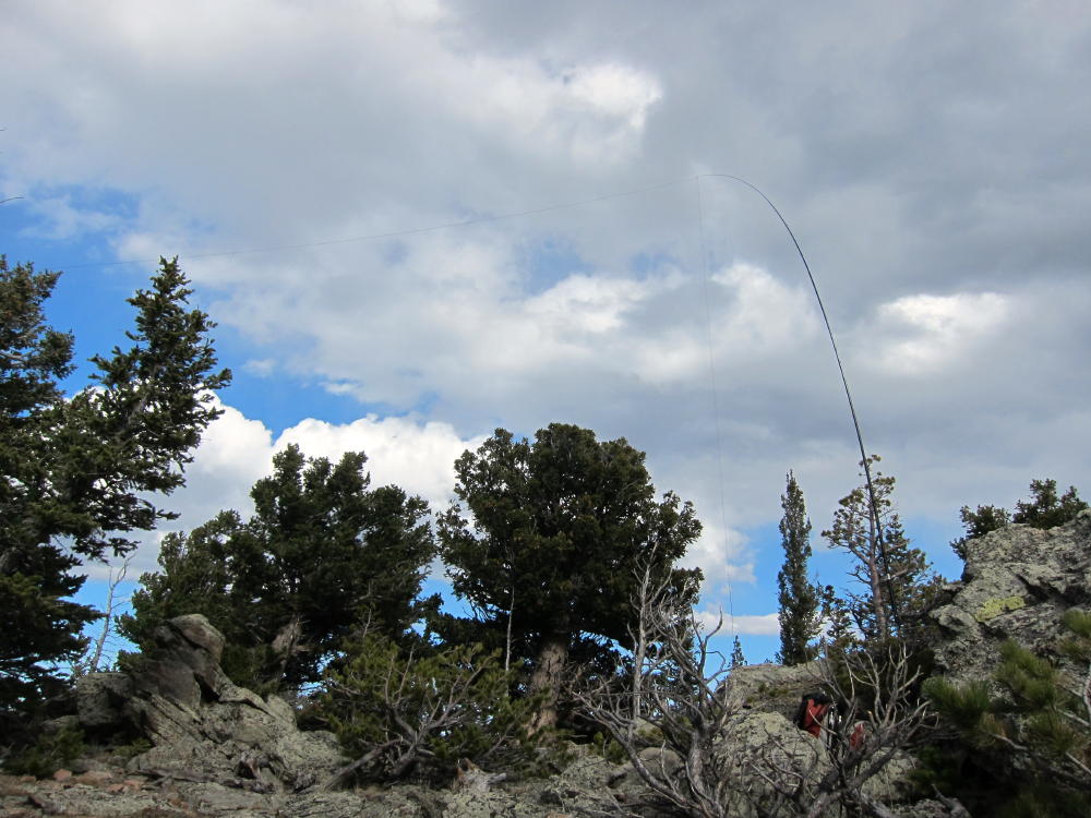
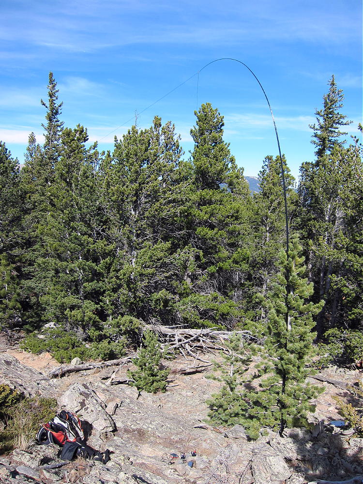
Activation Antenna 66 ft EFFW on Crooked Top
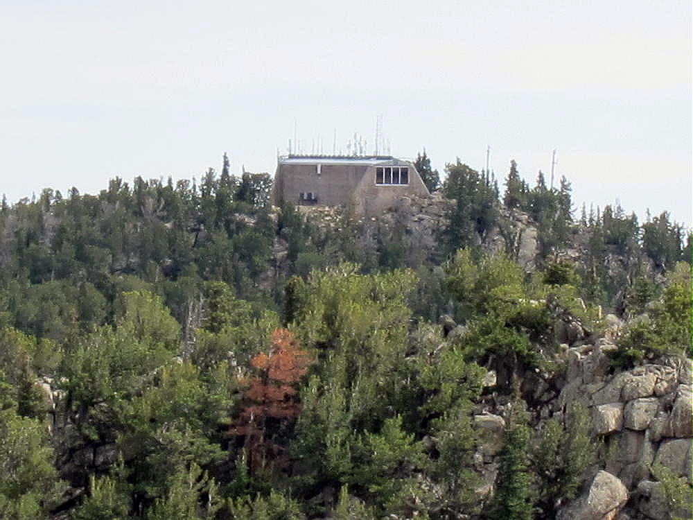
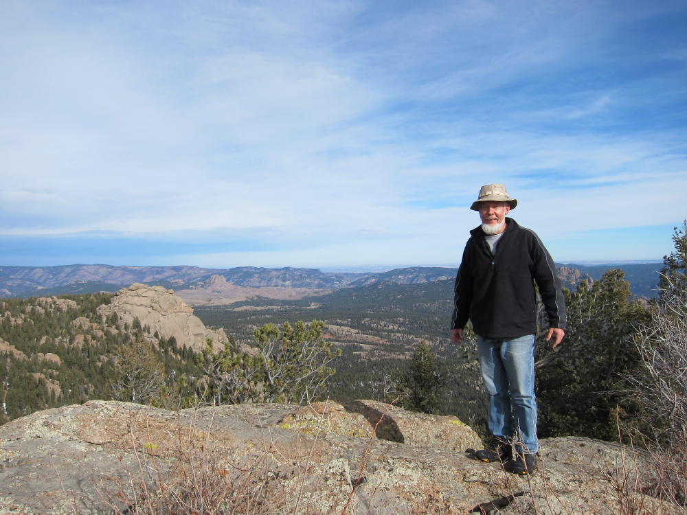
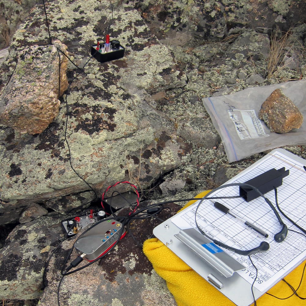
KX0R First Activation Site on Crooked Top
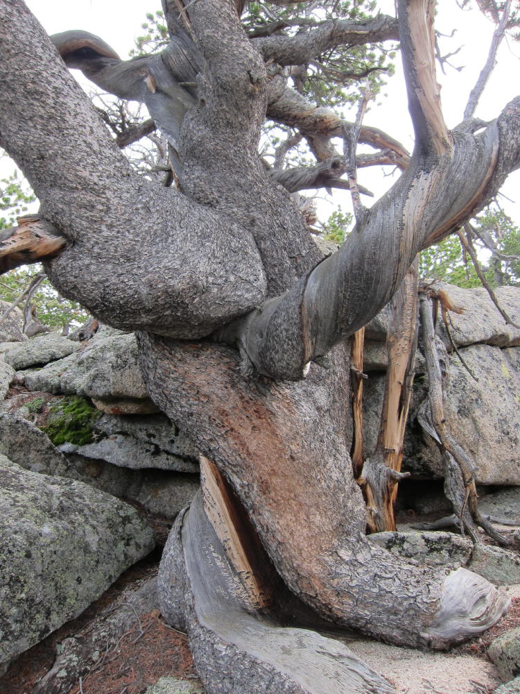
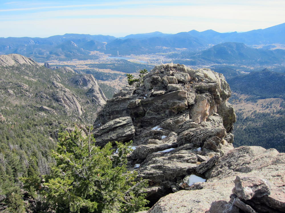
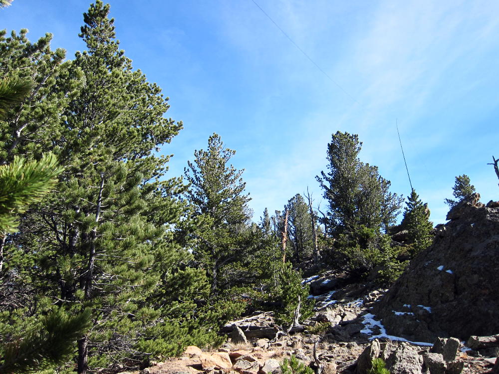
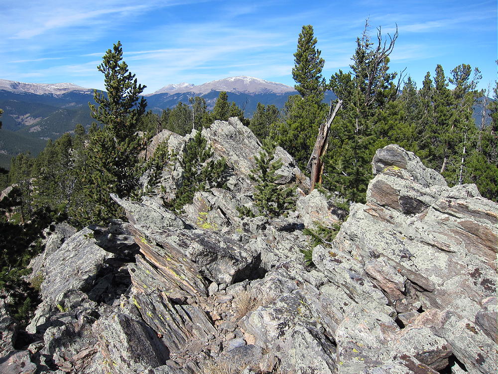
Summit Rocks on Crooked Top
Sunset on Crooked Top and 10140
!! WARNING !! There are old mountaineers, and
bold mountaineers… there are no old-bold mountaineers.
Hiking and mountain climbing are potentially hazardous activities particularly in Colorado with its extreme elevations. I am not accepting responsibility for any death or injury resulting from activations based on my trip reports. Proper training, experience, and personal capability assessment is required – enjoy!
W0C/SR-054 (Tremont Mountain) 3160M / 10388 ft
Sep 7, 2013 First Activation
Tremont Mountain is conveniently located near Gap Road in beautiful Golden Gate Canyon State Park, west of Golden, Colorado. I climbed it from a designated parking spot about ½ mile east of Panorama Point, on the south side of Gap Road. A fee and pass are required to park in the State Park.
For this trip you need a topo map, compass, and good navigation skills; a GPS is helpful. The hike is moderately strenuous, but it’s only about a mile each way.
The route appears to be an off-trail bushwhack trip almost 1000 vertical feet all the way up. However, if you’re sharp, you can find old abandoned logging trails that go directly up, almost to the top. I found two of these trails.
Go south from the parking spot and immediately intersect the hidden Mule Deer Trail. Hike west and climb slightly on this maintained trail about ¼ mile, and find an old trail or trails heading off uphill to the south. I found two of these unmarked trails. If the Mule Deer Trail is descending to the west, you have gone too far. The western of the two routes works pretty well – I descended that way. The route goes up directly, east of the craggy northern ridge of Tremont Mountain. These trails resemble gullies and may have been used decades ago to drag logs down from the mountain. There are old cut stumps near the summits.
Climb up the old trail, and try to stay with it through occasional thickets of new growth. There are significant trees growing in this trail – but it’s a much better route than the off-trail ascent I did through fallen trees, rocks, and bushes. The old route is an obvious game trail. Stay east of the northern ridge, until you get near the summits.
The name “Tremont” may mean “three summits”, because that’s what’s up there. The northwestern summit at 10,388 feet is the highest – but I couldn’t see through the trees, so I climbed the southeastern knob first, then the middle one, and then the northwestern summit before knowing which crag was the top. It’s easy scrambling over large rocks up the northeastern side of the northwestern summit. The actual peak is out at the northwestern end of the slightly exposed granite summit ridge. It’s a spectacular place, with views of the high Front Range peaks, Boulder and Gilpin Counties, Thorodin Mountain, Pike’s Peak, Mount Elbert, and the Eastern Plains.
Despite being included in the Sawatch Range group of SOTA peaks, Tremont is far from the Sawatch area – it’s really in the eastern Front Range.
Tremont is a fine SOTA peak! There are small trees along the summit ridge, and if you bring an antenna pole, you can just stick it in a tree. Even with no pole, the trees could support a wire 6-8 feet above the granite ridge-top. I used a 66 foot end-fed wire supported by a Black Widow pole at 18 feet above the rock, with the NW end tied to a tree. I got 57 contacts of 40, 20, 17, and 15M CW. The solar flux was only 101, and I still managed to get six S2S contacts on 20M, 42 contacts on 20M, DJ5AV on 17M, and 5 contacts on 15M.
This eastern peak has nice coverage of much of the Denver Metro Area, and I made good local contacts, as well short and long skip Q’s. This is surely a great VHF/UHF peak.
Tremont is very prominent and should be avoided if there is any threat of electrical activity! It was nice while I was there, just breezy, but it’s often very windy during the colder months. There are sheltered spots near the ridge-top with some protection from the wind. Since the ascent described here is totally on the cold north side of the mountain, a winter ascent would probably require a strenuous hike on snowshoes. A much longer and stronger south-side ascent might be practical as well.
I would never have climbed Tremont were it not for SOTA, but it ranks high on my list of fun summits!
George Carey Fuller
KX0R
NW Summit Ridge of Tremont
Forest near Tremont Summits
KX0R First Activation on Summit Ridge
KX0R Antenna in Tremont Summit Ridge
Thorodin Mountain from Tremont Summit
Tremont Summits from NW Summit
!! WARNING !! There are old mountaineers, and
bold mountaineers… there are no old-bold mountaineers.
Hiking and mountain climbing are potentially hazardous activities particularly in Colorado with its extreme elevations. I am not accepting responsibility for any death or injury resulting from activations based on my trip reports. Proper training, experience, and personal capability assessment is required – enjoy!
W0C/FR-035 (Meridian Hill) 3495M / 11490 ft
Oct 9, 2013 by KX0R
Meridian Hill is a fine SOTA site located in the Mount Evans Wilderness. Despite its proximity to the Denver metro area, it is rarely climbed. This mountain presents significant physical and navigational challenges; the route detailed here climbs 2500 vertical feet from the trailhead in about 5.5 miles, with about 2.5 miles off-trail. This peak requires preparation, map study, and accurate navigation, but the trip can be a rewarding adventure.
The climb starts at the Meridian Trailhead east of Harris Park. Start by driving west of Denver on Highway 285. Drive past Conifer and Pine Junction, and turn north on paved County Road 43. Drive about 7 miles up Deer Valley, and then turn right on paved road 47. Drive up over a ridge, descend a little, and turn left on Prospectors Way, road 102. There’s a small sign for the Meridian Trailhead at this key junction. Follow dirt road 102 up Elk Creek about a mile, past private Camp Rosalie, to the small USFS trailhead; road 102 is OK for most cars.
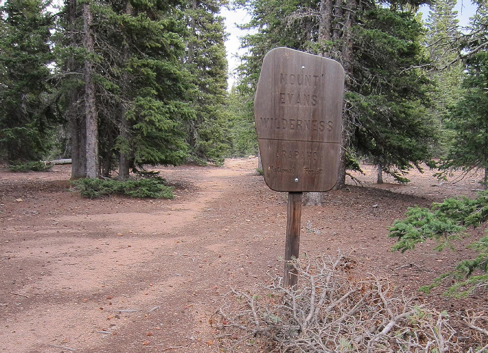
The Meridian Trail starts by crossing a bridge to the east side of Elk Creek, and then it ascends continuously for about 3 miles, from 9040 feet to the 10,700 foot Pass east of Mount Rosedale. This is a high-quality trail with nice views from meadows below the pass. At the Pass there is a sign at the boundary of the Mount Evans Wilderness. This is a good place to turn on your GPS unit and look carefully at your map.
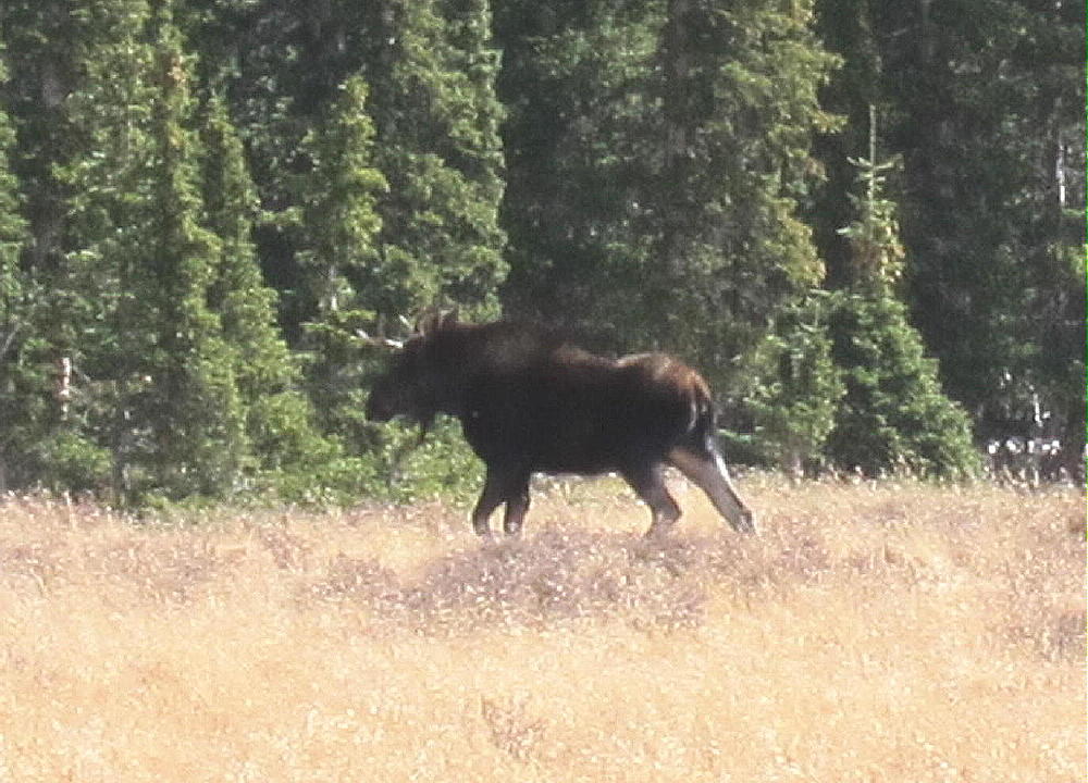
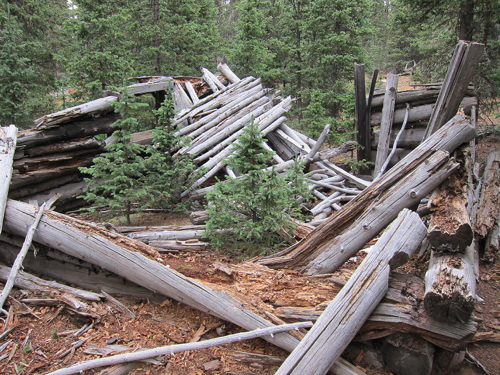
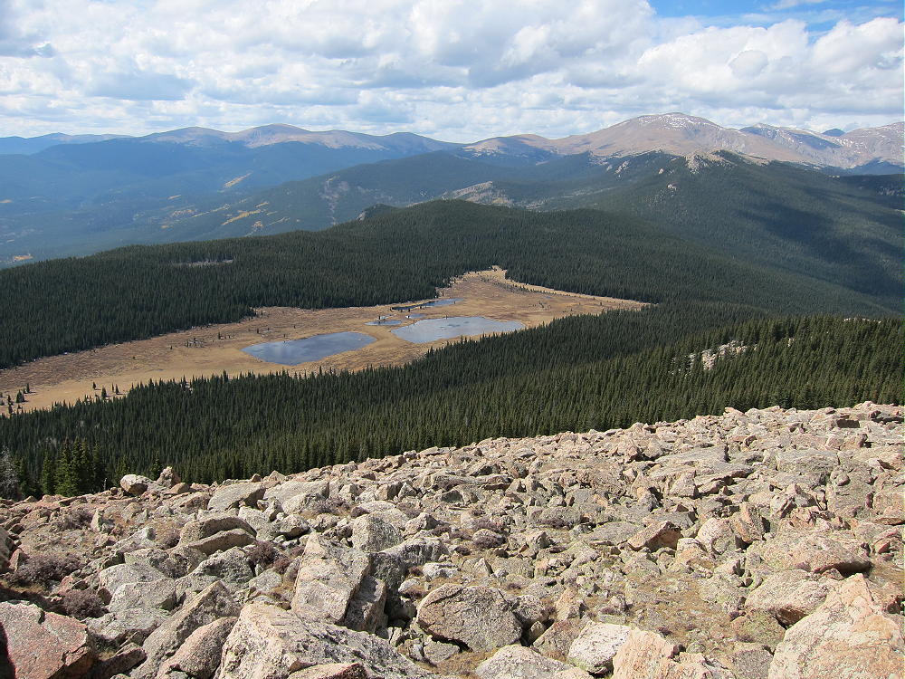
Leave the trail and head east into the forest, staying either on the ridge east of the Pass, or just north of that ridge. There are faint trails near the ridge and closer to Mud Lakes. Navigate about 1-1/2 miles through mostly open forest toward the Lakes, and eventually emerge from the forest into a huge marshy basin at about 10,700 feet. There are several shallow lakes in this sub-alpine swamp. It was here that I encountered a surprised moose! Hike around the northwest side of the marsh, and then head southeast along the northern edge of the open area. Old log cabins are hidden in the woods just north of the lakes. This is real wilderness – but the terrain is not difficult – and it’s grand!
You can see Meridian Hill from the Mud Lakes basin, and the ascent is straightforward. Northeast of the large eastern lake, head up into the forest and climb up the forested slope over rocks and fallen trees. Head for the 11,200’ saddle west of the summit and reach a large, open boulder field. The big rounded rocks are mostly stable and are fun to climb. Head up the boulder-covered ridge to the top. The west summit is the SOTA summit – which is good, because the top of the mountain is about 2/3 of a mile long and covered with granite boulders. There is a register jar on the top, with a few names written on papers inside. Large rocks near the exposed summit provide some shelter from wind. There are a few trees nearby, so it’s not essential to carry an antenna pole. With no higher mountains to the east, Meridian Hill is an excellent radio site for HF, VHF, and UHF. It’s also a grand place, with Rosedale, Mount Rosalie, and Mount Evans to the west, and a panoramic view from Longs Peak to Pikes Peak.
The trip out is best done by returning to the Pass where the developed trail crosses the Meridian-Rosedale ridge. Heading west from Mud Lakes, avoid descending significantly until you’re on the ridge east of the Pass; remember to head for Rosedale as you approach the Pass, and you’ll meet the trail.
Meridian Hill is a classic SOTA destination, mostly because of its wilderness location and the interesting off-trail route. Save this trip for a dry day in late summer or fall. The off-trail part of the route is probably a snowy ordeal in winter or spring, and the Mud Lakes area is likely infested with mosquitoes in early summer. Be sure to tell someone of your intended route and return time before you start out.
If anyone knows anything of the history of the Mud Lakes cabins, please email me…
George Carey Fuller
KX0R
Meridian Hill Trail South of the Pass
Meridian Hill from near Mud Lakes
Wilderness Sign at the 10,700 ft Pass
Moose near Mud Lakes
Old Log Cabin below Meridian Hill
Mud Lakes from Meridian Hill
View West from Meridian Hill
Meridian Hill Summit and Mount Evans Summits
Meridian Hill’s Huge Summit Ridge
KX0R Activation on Meridian Hill
KX0R First Activation – ATS-3B and Tuners
Rosemont and Rosalie from Mud Lakes
!! WARNING !! There are old mountaineers, and
bold mountaineers… there are no old-bold mountaineers.
Hiking and mountain climbing are potentially hazardous activities particularly in Colorado with its extreme elevations. I am not accepting responsibility for any death or injury resulting from activations based on my trip reports. Proper training, experience, and personal capability assessment is required – enjoy!
W0C/FR-048 (Thunder Butte) – 2992 M / 9836 FT
Jan 03, 2014
by KX0R
Thunder Butte is a prominent mountain located in the Pike National Forest southwest of Deckers. It’s an interesting off-trail climb with convenient access and immense vistas – it’s also a great SOTA peak!
Get up early, drive west of Denver on Highway 285, and turn left (south) on Highway 126 at Pine Junction. Drive down through Pine, stay on 126 through Buffalo Creek, and continue south on the good paved road all the way to Deckers. Continue south from Deckers on paved Highway 67 for 9 miles to Westcreek. Turn right at Westcreek on unpaved Abbey Road, drop to Road 73 and turn south, go about ½ mile to the Volunteer Fire Station, and turn right – west – on Highway 68 (W Stump Road). Drive west 2 miles on this good dirt road, past a large rock formation called the Sheep Nose, and turn sharply right on marked 9-J Road.
(You can also drive up from Colorado Springs via Route 24 to Woodland Park, and then take Road 67 north to Westcreek.)
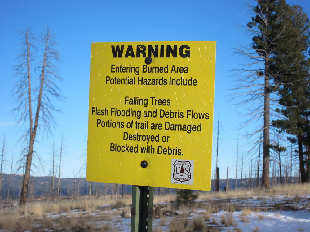
9-J is a maintained forest road. It was not gated on Jan 3, 2014 when I was there, and the snow had been recently plowed. I met a propane truck coming out when I was driving in, so some one lives up the road. There was no problem driving up about 1.3 miles to the marked parking area at the top of a ridge, west of Sheep Nose, where the road turns sharply west. Park here in the designated spot. A sign warns that this is a burn area, with possible hazards like falling trees, flash floods, and destroyed trails. This is a real fun place!
There is no trail-head sign or trail at the parking area. You can see Thunder Butte about 1.5 miles to the north. The route up to the summit is not difficult, and route-finding is easy if you’re prepared; however, it’s essential to study the topo map of this area before starting in. Take a compass, topo map, and perhaps a GPS unit. Note that it would be easier to go wrong on the return than on the ascent – be sure to look back every so often and to learn what the return route looks like.
Hike approximately north on the broad ridge-top from the parking area. This ridge heads roughly toward the summit, which is on the left side of the elevated part of the mountain you see. Stay on the ridge as it veers slightly east and west of north, while mostly climbing gradually. Follow this ridge for about 1-1/2 miles through a nice forested area that was spared by the Hayman Fire (that fire burned most of this region, over 135,000 acres, more than ten years ago). There may be a few cairns along the ridge, and there are sections where a faint trail is visible. The route I followed climbs up a faint trail section near the top of the ridge near various rocky outcrops, and then when the outcrops become obstacles, the route drops northeast a short distance and crosses a shallow gulch. This place is just before the whole landscape begins to get steeper to the north.
After crossing the small gulch, climb generally northeast, on an increasing grade, through the burned forest. The route heads up to the obvious saddle between the summit ridge and the sub-peak to the south. Stay north and above the valley that leads to the saddle – the valley is choked with bushes and trees. The route above ascends northeast through open, burned forest – there are bits of trail if you look – try to follow the natural route up to the saddle. Don’t try to climb up to the summit directly – just head over to the north part of the saddle, get on the summit ridge, and then climb on up to the top. Follow the narrow ridge, staying mostly on the top or west side, where there are bits of trail. Be sure to look down to the east, at the huge craggy ridge system below!
After about 300 vertical feet of climbing rocks and bare soil among dead trees on the summit ridge, you’ll reach a sub-peak; from here you can see the summit not far above – the final ascent is no problem. There’s no exposure on the class 2 summit ridge route, until you reach the top.
The summit is a small exposed rocky area, with an incredible view of Pikes Peak and the huge Hayman Burn to the south and west. There was a “register” in a plastic bottle down in the rocks when I was there. People do climb this remote peak – I saw fresh footprints in the snow when I was there, and another man reached the summit not long after I did. I noticed that Gerry and Jennifer Roach signed the register in 2009 – but there are not many names in the notepad.
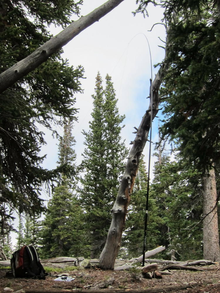
The day I climbed Thunder Butte was abnormally warm for Jan 3. It was sunny, and it followed a warm dry spell with little snow. The temperature on top at 9836 feet was about 40 degrees. The south side of the mountain was mostly free of snow, but there were 4-6 inches of snow in the shade. On the narrow summit ridge it was windy, especially on the west edge. I was able to set up my activation on the ridge – this required stringing my 66 foot wire north along the ridge, across snowy rocks, and through bushes and small trees. I tied the 20 foot fiberglass pole to a small tree – then I found a dead aspen trunk and used it as a mast to raise the far end of my wire 10 feet above the ridge-top.
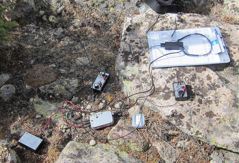
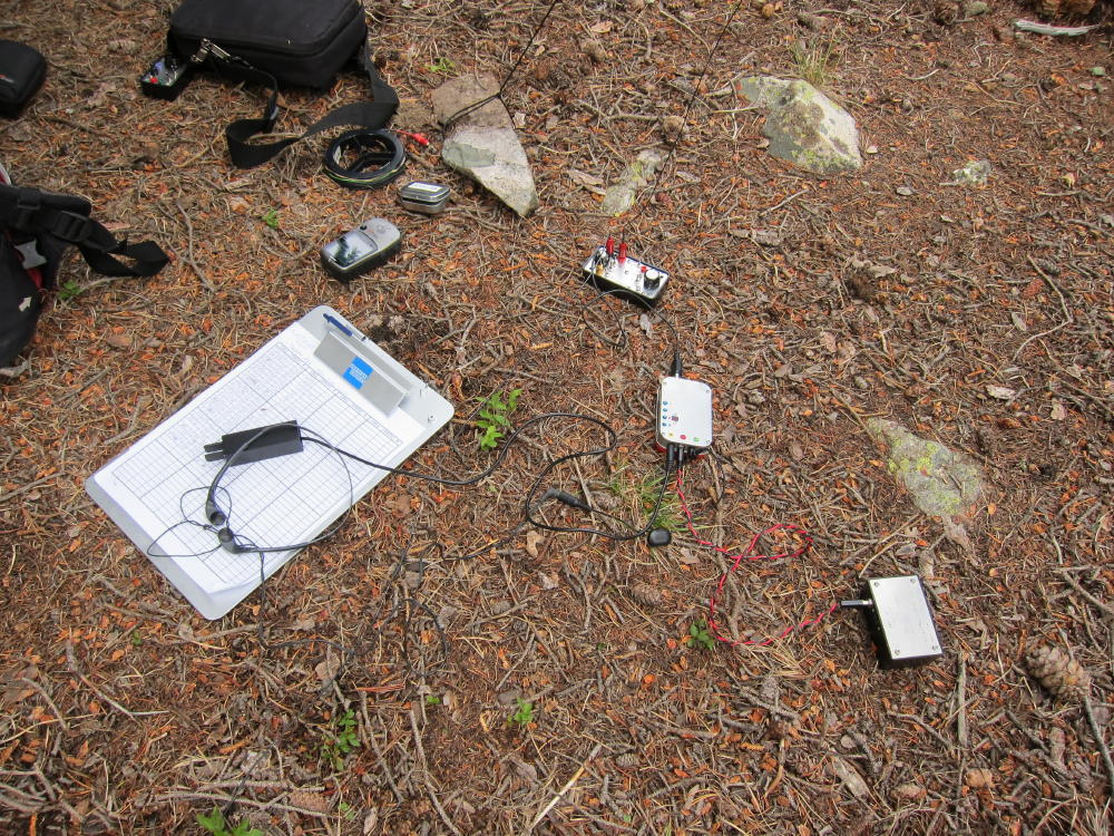
The whole time I couldn’t believe I was actually doing this on January 3. I never needed gloves the whole time I was on top, even though the wind was hissing across the summit cliffs! I set up my ATS-3B, resonated my homebrew high-Z tuner on 15M, matched up the main tuner, and called CQ on 21.062 – I was earlier than my alert time. After two or three calls, N1EU called with a big 599 signal from NY, and I knew it was going to happen! K6EL in CA was next, and then there was a big pile. After 15 Q’s on 15M, I retuned to 20M and worked 25 additional stations. Conditions were great on both bands! Since the 66 foot wire is 3/2 wave on 15M and a full wave on 20M, my high-Z tuner matched it quickly on both bands, with no counterpoise. Somehow the antenna stayed up, even though the pole and wire were both moving around with the wind gusts.
A few comments about propagation from Thunder Butte are in order. This mountain is in a remote part of the South Platte Canyon region, but at 9836 feet, I could see over the Rampart Range and into a small part of the South Denver area. I had solid 21 MHz direct signals from N0TA, up north in Louisville, and K0FNR, in Arvada. For HF, Thunder Butte is an almost perfect site, with huge prominence in all directions and no larger peaks for many miles. VHF/UHF propagation is probably limited by the Rampart Range to the east, as well as in other directions, though local coverage is likely excellent. The site is quiet, and there is little development in the area.
I recommend descending by the same route used for the ascent. Avoid going down into any valleys, except for the small gulch you crossed previously before starting to climb up toward the saddle. Hike out on the long ridge you came in on. Head toward the west (right) side of the Sheep Nose rock on the way out. Use a compass or GPS to make sure you backtrack accurately.
This could be an unpleasant hike in summer, with little shade, no water, and hot, bare ground. The peak is called Thunder Butte for good reason. Don’t test your luck on this summit if dark clouds approach!
One trip report I found warned about thorny bushes, but I didn’t have any problem with them. Most of the burned forest is open and easy to deal with. This should be a nice hike on a dry spring or fall day. Even though there’s no marked route, this ascent is relatively easy, with only 2.5 miles each way, and 1400 vertical feet of gain. The ridge route is easy and pleasant, better than many trails!
Thunder Butte is close enough to the Denver-Colorado Springs area that it should see more SOTA activations. The vast, unique view is both awesome and heartbreaking. With its south-facing route and good road access, this mountain is a SOTA Classic!
George Carey Fuller
KX0R
Warning Sign at Thunder Butte “Trailhead” Parking
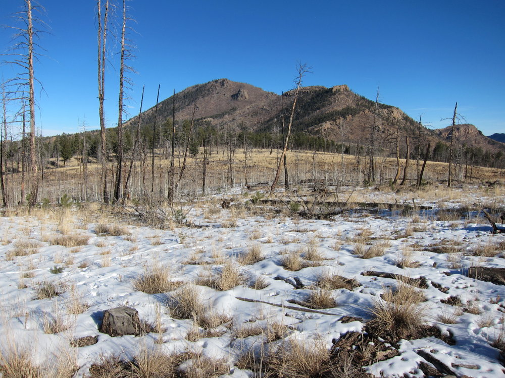
Thunder Butte from the “Trailhead” Parking – the Broad Ridge Route
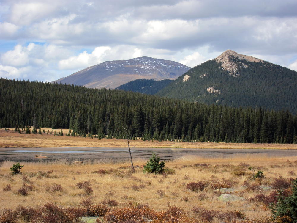
Thunder Butte and Pikes Peak from Little Scraggy Peak
Hiking Route to Thunder Butte along Broad Ridge
Hike along Ridge Part Way to Thunder Butte
Thunder Butte Summit from Ridge Route, about Halfway
Thunder Butte Summit, Saddle, and Southern Sub-Peak
Thunder Butte Route below the Saddle
South Side of Thunder Butte from Burned Forest Route
Thunder Butte Summit Ridge above Saddle
Thunder Butte Summit Ridge
View South from Thunder Butte Summit – Hayman Burn and Pikes Peak
First SOTA Activation on Thunder Butte Summit – 66ft WIre on Black Widow Pole
ATS-3B, Tuners, and Battery – 1st Activation of Thunder Butte
View from Thunder Summit West to Lost Creek Wilderness
View South from Thunder Butte Summit, across Hayman Burn to Pikes Peak
Complex Ridge System SE Side of Thunder Butte
!! WARNING !! There are old mountaineers, and
bold mountaineers… there are no old-bold mountaineers.
Hiking and mountain climbing are potentially hazardous activities particularly in Colorado with its extreme elevations. I am not accepting responsibility for any death or injury resulting from activations based on my trip reports. Proper training, experience, and personal capability assessment is required – enjoy!
W0C/SR-052 Thorodin Mountain 3206 M / 10540 Ft
Sep 14, 2013 – First Activation
KX0R
Thorodin Mountain is a very prominent peak located in Golden Gate State Park, west of Golden, Colorado. The summit is conveniently located north of Gap Road. To reach the de-facto trailhead, follow Gap Road (good quality unpaved 2WD) about ½ mile east from Panorama Point; find a marked parking spot on the south side of the road. A fee and pass are required to park and hike in the State Park.
For this trip you need a topo map, a compass, and good navigation skills. A GPS device is helpful. The hike is moderately strenuous, but it’s only about 1.3 miles to the summit.
There is no designated trail to the top of Thorodin Mountain. On the USGS topo map, the route appears to be an off-trail bushwhack trip ascending about 1100 vertical feet. However, there’s an old abandoned logging road leading up to a route marked with cairns that leads right to the top. From the parking spot, walk north across Gap Road, hike west about 500 feet to the highest spot along Gap road (elevation 9440 feet), and then head north into the woods. You may find a short section of new trail – head north on this trail for a short distance, but veer right and head northeast, about 100 feet before that trail starts to head northwest and down. Soon you’ll intersect the old logging road shown on the USGS 7.5 minute Tungsten quadrangle map. Climb northeast on this unmarked, un-maintained trail. Where the old road heads east, resist the temptation to leave the road; instead stay on the road until it ends at about 9840 feet.
Near the end of the old road, you should find a cairn marking the start of the cairned route up to the summit. Simply follow the numerous cairns up the logical route that follows the broad steep valley up the south side of Thorodin. There is one section where the enthusiastic cairn-builders marked the route up through a slope of large boulders – you may choose to stay slightly east of the cairns on an easier route up the slope until you get past the boulders – then follow the cairns up from there.
Thorodin has several summits. The one marked on the SOTA maps is the southwest summit, marked 10540 on the USGS quad. The middle peak is shown as the summit on Google maps, but that’s not what SOTA or USGS mark as the summit. The northeast summit is called Starr Peak, shown at 10511 on the USGS map, and even though it may appear higher, it’s not the SOTA summit. There is a radio facility on Starr Peak, and legal access over there is doubtful.
The view from prominent Thorodin is awesome. You can see many high Front Range peaks, the area around Central City and Rollinsville, Tremont Mountain to the south, and far out over the Plains.
Thorodin is a superb radio site and SOTA peak! There are small trees along the extended summit ridge, and if you bring an antenna pole, you can just stick it in a tree. Even with no pole, the summit trees are sufficient to support a wire 8-10 feet above the granite ridge-top. There are larger trees close by. I used a 66 foot end-fed wire supported by a Black Widow pole at 18 feet above the ridge, with the west end tied to a tree. I got 25 contacts on 20M CW, plus one on 40M, before I had to shut down because of lightning nearby. The peak has nice coverage of most of the Denver area, and I made good local contacts as far away as Fountain, south of Colorado Springs, as well as short and long skip Q’s on 20M. This is surely a great VHF/UHF peak!
Needless to say, Thorodin should be avoided if there is any threat of lightning. It was mostly nice while I was there, but it may be very windy often. There are sheltered spots near the summit ridge with some protection from the wind. With the good road access and route up the south side, winter activation may be practical at times.
If you’re strong and the weather is good, you could activate both Tremont and Thorodin in one big day from the same parking spot, for a 10 point day.
Because of its easy access from the metro area and great prominence, Thorodin deserves your attention if you want to activate local summits or operate portable radios. If you have lightweight equipment and can hike directly up a mountain without a switch-backed trail, Thorodin will delight you – this is a SOTA classic!
George Carey Fuller
KX0R
South Side of Thorodin and Gap Road from Tremont Mountain
View toward Thorodin from the Parking Spot
South Side of Thorodin – This is the Climb
Black Widow Pole and EFFW Antenna on Thorodin
Starr Peak Radio Facility from Thorodin Summit
View of Tremont Mountain from Trail up Thorodin
View of Starr Peak and Middle Summit from Thorodin Summit
Summit Rocks on Thorodin – Looking North
View North from Thorodin, with Rain Developing
!! WARNING !! There are old mountaineers, and
bold mountaineers… there are no old-bold mountaineers.
Hiking and mountain climbing are potentially hazardous activities particularly in Colorado with its extreme elevations. I am not accepting responsibility for any death or injury resulting from activations based on my trip reports. Proper training, experience, and personal capability assessment is required – enjoy!
W0C/FR-059 (Little Scraggy Peak) – 2796 M / 9192 FT
Dec 28, 2013
by KX0R
Little Scraggy Peak is located in the Pike National Forest between Buffalo Creek and Deckers. It’s a fun climb with convenient access and great views.
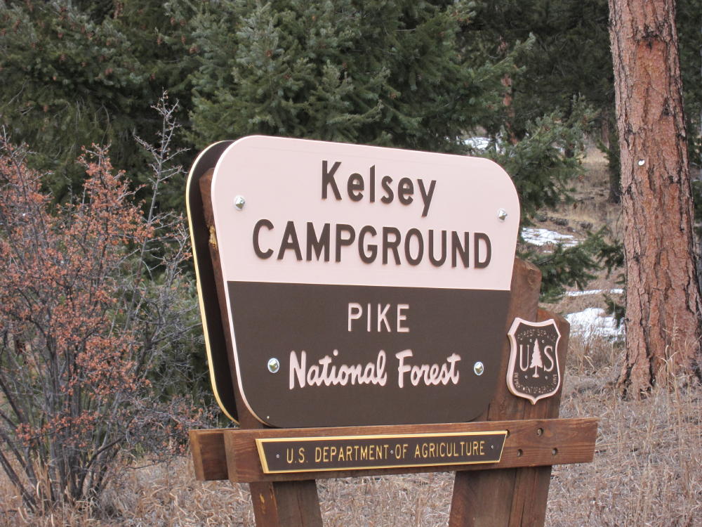
Drive west of Denver on Highway 285, and turn south on Highway 126 at Pine Junction. Drive down through Pine, stay on 126 through Buffalo Creek, and continue south on the good paved road toward Deckers. About 5 miles south of Buffalo Creek, after a long upgrade, there’s a marked overlook on the east side of the road. Continue southwest about a mile, and find the marked Kelsey Campground entrance on the north side of the road – this is the unofficial trailhead. There’s space for a couple of cars to park next to the gate – otherwise park somewhere off the main highway.
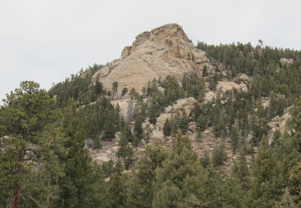
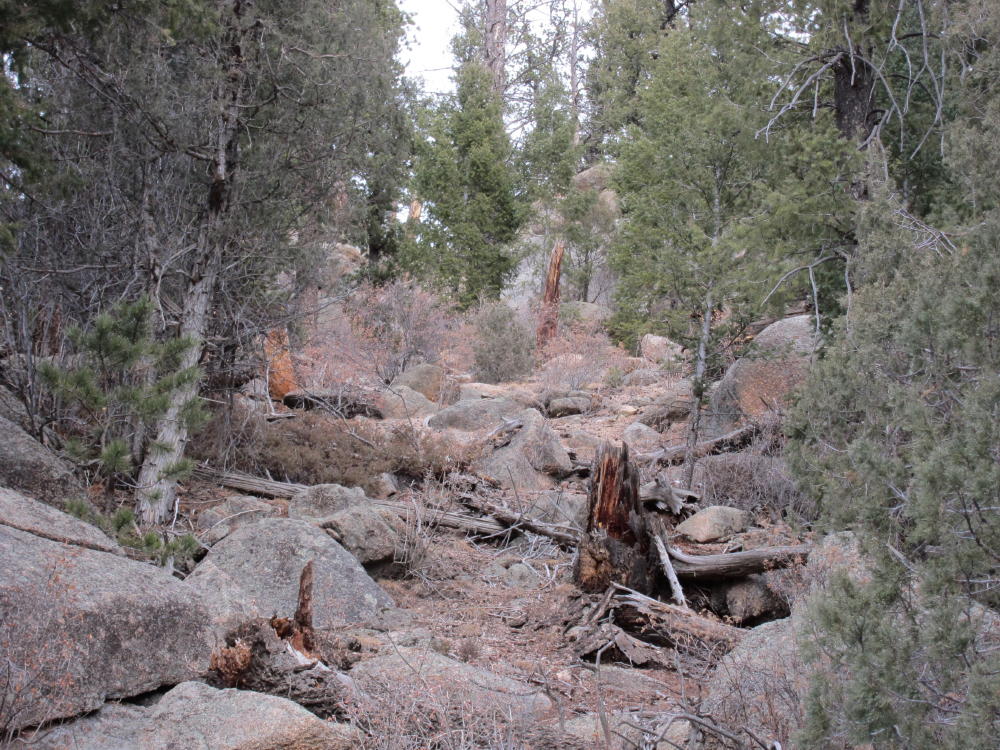
This area gets some light use from rock climbers and others. A small trail heads uphill from the campground entrance and leads toward a prominent climbing rock several hundred feet above. Follow this trail up for a short distance, until the slope increases, and then contour northwest across a sloping meadow; enter the forest where the meadow ends. To avoid private land, stay well north of the fence and signs visible below. Enter a shallow gulch and follow it northwest as it leads up a moderate grade. When in the gulch and nearby slopes, avoid turning right and going up too soon, because there are cliffs and large boulders in the area west of the climbing cliffs above the trailhead. The gulch ends at a saddle at about 8600 feet, east of point 8754. From this saddle climb east up a moderately steep sloping ridge – stay on this ridge and climb gradually up 400 vertical feet to about 9000 feet. This part of the ascent is a standard off-trail hike directly up a slope, with the usual rocks and fallen trees. There are bits of game trail as you go up, and the upper part of the ridge is pleasant. There’s no rock climbing or exposure required for this route.
When you get to the broad ridge-top at about 9000 feet, climb north and find a couple of false summits; head northwest from these points and continue about 1/4 mile to the actual summit. This part of the hike is a pleasant walk through open woods with a few fallen trees and rocks – you can see the main summit rocks to the northwest. The top of Little Scraggy Peak is a granite rock formation with some trees and bushes. Climb up the gullies in the rocks on the southeast side – only a few scrambling moves are required. The actual peak is surprisingly flat. The views are spectacular in all directions, from Pikes Peak to the south, all the way north to Longs Peak. Green Mountain looms up to the west, the huge Hayman burn fills the south view, and Devils Head rises in the east. Long Scraggy Peak and Raleigh Peak stand prominently to the northeast, and Thunder Butte rises in front of Pikes Peak. On top, Little Scraggy Peak doesn’t seem small at almost 9200 feet; it’s actually higher than Long Scraggy Peak. The view is full of SOTA peaks, and this summit is a great place to survey opportunities for many other climbs!
The exposed peak is large enough for setting up an activation, if you have a pole. Because there were other visitors on top, I set up in a sunny spot in the rocks a short distance below. There are useful trees and rocks near the summit, so activating this peak should be no problem, unless the weather is extreme. I found a perfect dead tree for my 20-foot Black Widow pole, and I tied off the far end of the EFHW to a big rock; then I hooked up the gear and got on the air. This first activation was about as easy as I could ask for on December 28 – it was about 45 F, there was almost no wind, and the sun was warm. With my ATS-3B at 5W, 33 feet of #24 teflon wire, and my homemade tuner, I logged 36 contacts – including G4OBL – in 35 minutes on 20M CW.
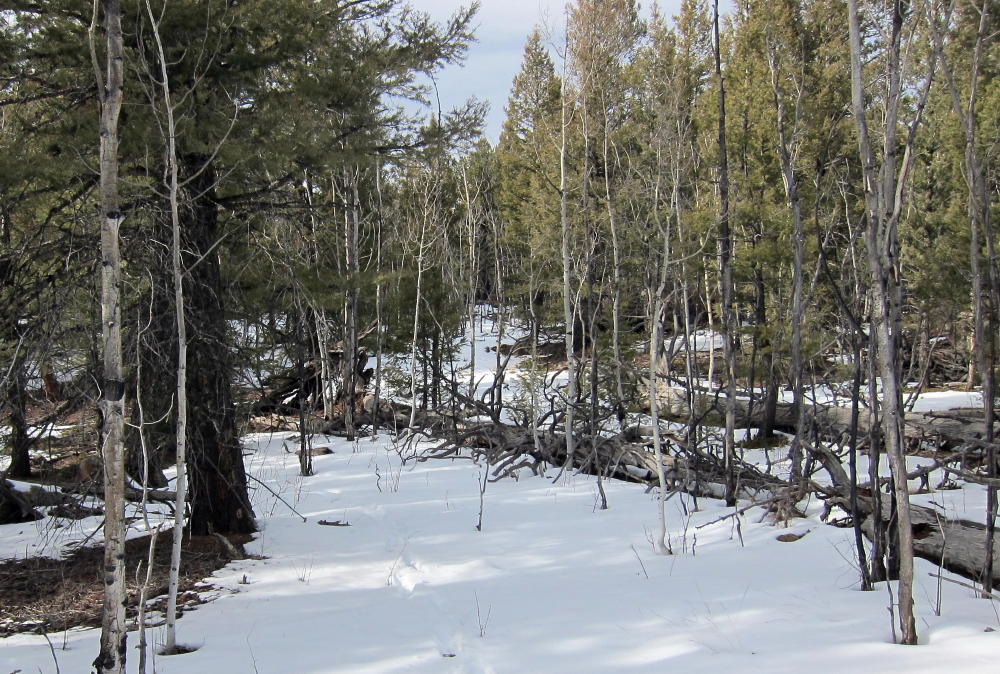
While Little Scraggy sees few visitors, there were 10 of us up there on Dec 28, 2013. A party of 8 climbed up from a trail to the north, and that longer, mostly off-trail route might be worth considering instead of my shorter, steeper off-trail ascent. The climb described here is about 1.6 miles each way, 1200 vertical feet, and can be done in just over an hour in good conditions. There were several inches of snow in the shadowed woods and on parts of the ridge-top when I was there. Since most of my route was on the sunny south side of the mountain, about half of the ascent was on dry ground. In good weather, this can be a nice SOTA climb for the colder months.
Little Scraggy is not an ideal site for a VHF/UHF activation. Because of its remote location west of the Rampart Range among other mountains, VHF and UHF coverage may be limited in several directions; there is a narrow view of the southern Metro area and the Plains. Sites like Devils Head and Genesee Mountain have much better coverage. On the other hand, for an HF activation with lightweight equipment, Little Scraggy is great! The easy access, paved roads, and huge views make up for the off-trail hike.
George Carey Fuller
KX0R
Sign at Little Scraggy Trailhead
Climbing Rocks above Trailhead
Route up West Side of Little Scraggy
Route on Little Scraggy near Summit
First Activator KX0R on Little Scraggy Summit
Antenna and Activation near Summit
KX0R Radio Gear on Little Scraggy
View of Little Scraggy False Summit to North
Pikes Peak and Thunder Butte
Long Scraggy Peak from Little Scraggy Peak
!! WARNING !! There are old mountaineers, and
bold mountaineers… there are no old-bold mountaineers.
Hiking and mountain climbing are potentially hazardous activities particularly in Colorado with its extreme elevations. I am not accepting responsibility for any death or injury resulting from activations based on my trip reports. Proper training, experience, and personal capability assessment is required – enjoy!
W0C/FR-092
Mount Morrison 2397 M / 7837 FT
Nov 10, 2013 by KX0R
Mount Morrison is a very accessible peak located right above Red Rocks Park and Amphitheater, just west of Denver. The trip starts with a drive to Morrison near Red Rocks.
Drive west from Morrison on Bear Creek Road almost ½ mile. Turn north into Red Rocks Park Entrance 4 – the west entrance. Look for parking about 100 yards up the road on the right. There is no charge for entering the Park or for parking, but parking might fill at the trailhead on busy weekends. The trailhead is obvious on the west side of the road, but there are no signs or facilities. The rough, mostly unimproved South Ridge Trail goes up almost 2000 vertical feet, starting near 5900 ft, to the summit at 7837 ft, in less than 2 miles. The trail is direct and steep – there are no switch-backs. The first half mile is steep, the middle part is easy, and the last half mile is the very steep. There is some Class 3 scrambling for about 200 feet or more on the exposed rocky ridge below the summit. Going down the steep part is worse than going up – it’s better to sit down than to slip and fall.
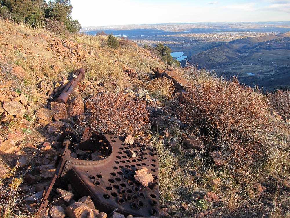
The South Ridge trail is the only one that is “approved” and OK to hike. Hiking on closed trails is strongly discouraged. Mount Morrison has had a hard life during the past hundred years or so. Currently the peak is a major transmitter site for the Denver Metro Area – there are a couple of large towers about 150-200 yards north of the actual (south) summit. Concrete pads, tower anchors, and assorted junk remain from radio facilities that previously existed on the south summit. An old steam boiler lies rusting near the top – was it used for power for a radio transmitter long ago? On the northwest side of the mountain there’s a jeep road, but this is not open to the public for driving up to the summit.
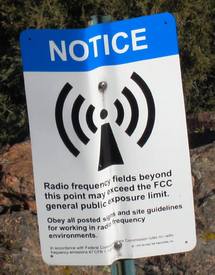
Just north of the summit a power pole stands, with the high voltage disconnected from a transformer. The high voltage line appears to be live, radiating line noise, because I had about 5-10 db of AC RF noise on 20M. I heard almost no noise on 40M. The big surprise was that there was no RFI from the nearby transmitters! Those antennas look really serious, and the site nearby is posted with warnings for RF exposure limits.
I set up my rig about 50 feet west of the south summit, about 15 feet below the summit rock, with a wire stretched from my pole southwest down the hill. There are few useful trees on the summit. A SOTA location up there is a compromise between the power pole, the transmitters, visitors, wind, abundant cactus, and the limited flat ground. The front (east side) of the mountain is very steep. Needless to say, this is probably an awesome VHF/UHF site, unless the RFI level creates intermod or overload problems.
In spite of the AC line noise on 20M, I had a nice CW activation with 34 contacts on 20M and 7 on 40M. The view was spectacular, and it was exciting to be so high above Denver in the late afternoon.
The trip down is steep, relatively fast, and OK – if you have good knees.
Until I did this hike, I didn’t understand why Mount Morrison wasn’t previously activated, given its proximity to Denver and public access. There are a couple of fourteeners that are easier to climb than Mount Morrison! It certainly requires a lot of work for one SOTA point; there are peaks in other states where a similar climb might be worth 8 or 10 points.
This is actually a very rewarding SOTA adventure, if you’re in good condition and don’t carry a pack full of heavy gear.
George Carey Fuller
KX0R
Mount Morrison South Ridge Route
Summit of Mount Morrison
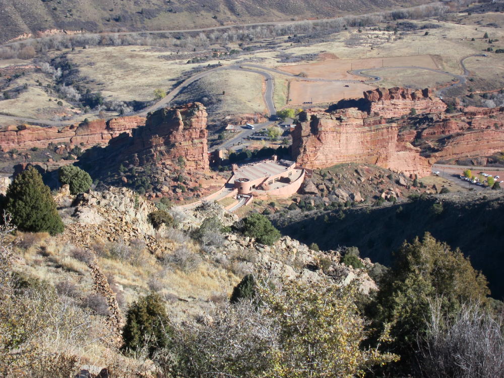
Red Rocks from Mount Morrison Summit
RF Fields Warning Sign near Transmitters
Old Boiler near Mount Morrison Summit
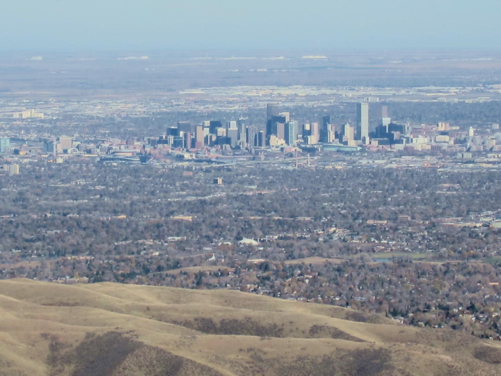
View of Denver from Mount Morrison
Radio Towers on Mount Morrison
Transmitter on Mount Morrison
KX0R Activation Gear
KX0R Activation near Summit
<
!! WARNING !! There are old mountaineers, and
bold mountaineers… there are no old-bold mountaineers.
Hiking and mountain climbing are potentially hazardous activities particularly in Colorado with its extreme elevations. I am not accepting responsibility for any death or injury resulting from activations based on my trip reports. Proper training, experience, and personal capability assessment is required – enjoy!
W0C/FR-145
McGregor Mountain 3190M / 10,486 FT
Sep 01, 2013
by KX0R
McGregor Mountain is a seldom-climbed prominent granite dome located in Rocky Mountain National Park, close to Estes Park. At 10486 feet it towers over 2000 feet above its immediate surroundings, but it’s dwarfed by major peaks several miles away. Activating this peak requires considerable effort with some risks no matter how you do it. There are no trails up or near McGregor. Activating this giant dome provides an exciting challenge – it’s a SOTA classic!
My ascent up McGregor was full of surprises. The original plan was to ascend the major gulch west of McGregor – the gulch route looks reasonable on the topo map. I parked just west of RMNP Fall River Entrance Station. There is a service road up the gulch, but it’s closed to the public. I skirted above and to the west, and I was able to drop into the gulch and go a short distance upstream, but I found the route blocked by huge boulders and thickets. I headed NW up a tributary gulch, up steep slopes covered with fallen trees, loose rocks, thickets, and thorny bushes. It was so bad I almost quit and went down; but I gradually gained altitude, and above 9000 feet the route became more reasonable. I found a game trail and headed NW up to a forested bench at about 9400 feet. The problem was that I had gone NW, away from McGregor, so I had to head northeast and then east toward the mountain.
The route over the forested bench was tedious but much better than the steep slopes down in the gulch. The whole place is covered with thousands of fallen pine trees, most with snagly limbs, so traveling requires picking over and around hundreds of trees. Closer to McGregor there are several forested, rocky ridges to negotiate, but there were no major problems getting over or around these obstacles. The last of these ridges is at about 9800 feet, and from there I descended northeast and then ascended up to the saddle below the west slope of McGregor. There is a faint trail near the saddle – it looks like it comes up from Black Canyon Creek 600 vertical feet and 1/2 mile to the north.
I climbed McGregor via the west ridge. There is no trail, and the route gradually gets steeper and more challenging as you climb higher. There are fallen trees, big rocks, and steep slopes, but most of the route is solid. There is a section of rocks requiring a bit of class 3 climbing, but on the descent I found that most the problems can be avoided by staying a slightly south on the ridge; the route is not technical. Toward the summit the route becomes really fun, as you pass through an amazing area filled with huge ancient twisted trees and granite formations. The top of the mountain is large and impressive – the awesome view looks half a mile down into the valleys to the south and east. To the northwest the high MummyRange summits tower at 13,500 feet, about 6 miles away. All of Lumpy Ridge and the Needles are close below and to the east.
There are plenty of good spots for activating McGregor near the summit. There are good antenna trees, so it’s not necessary to take a pole up there. Various rocky knobs are available for shelter, and if the weather’s OK, it’s a great place to relax and get on the air.
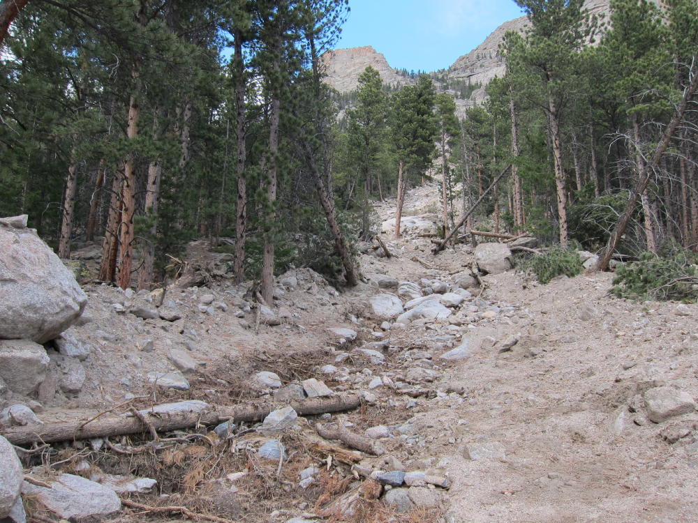
There are certainly other routes up McGregor. Trip reports online suggest going up the southeast side of the mountain, but any southern approach requires over 2000 vertical feet of steep bushwhacking and climbing. There may be routes up the SE side from Black Canyon Creek, but you’re on your own. In mid-September of 2013 torrential rains caused flooding throughout the area, and there’s an enormous mudslide path down a gulch on the SE side of McGregor. To climb McGregor’s SE ridge, a possible approach is from Black Canyon Creek. Since there’s no legal parking at MacGregor Ranch, hikers must park far to the east, at the GemLake – Lumpy Ridge trailhead.
I don’t recommend my gulch-and-bench route described above for activating McGregor. While it’s only a few miles, parts of it are very steep and/or covered with numerous fallen trees. The return trip requires precise navigation (GPS) in order to descend without peril into the gulch. Instead, I suggest:
Park at the Lumpy Ridge/Gem Lake TH north of Devils Gulch Road 43
Hike through MacGregor Ranch and past the Lumpy Ridge climbing formations north of the trail
Follow Black Canyon Creek Trail all the way up to 9100 feet and the junction with the Cow Creek Trail
Head west 2/3 mile through Black Canyon, down and then up to about 9040 feet, where the trail approaches the Creek
Cross Black Canyon Creek
Head south up the moderate forested valley, over 600 vertical feet to the saddle west of McGregor at about 9650 feet
Ascend the west ridge of MacGregor as in my description above
This is probably the safest and least stressful route up McGregor, even though it’s long. There should be no problems navigating, as long as you carry a topo map and compass – you don’t need GPS. Be sure you return down McGregor’s west ridge the same way you came up – an incorrect descent on McGregor might be somewhere between miserable and tragic. If you take a pump filter, there’s usually good water in Black Canyon. The hike through MacGregor Ranch and below Lumpy Ridge is spectacular, and you can see McGregor looming ahead all the way. Start early.
This mountain is nothing to mess with in bad weather – in particular, the lichens on the steep rocks get slick when they’re wet. If there’s ice or snow on the steep slopes, climbing may be too risky. Save this summit for a good day – McGregor is a classic!
George Carey Fuller
KX0R
McGregor’s NW Side
Route down NW Side of McGregor
McGregor Route through Downed Trees
Summit Area
ATS-3B Rig and Tuners
Activation Site with Antenna in Tree
View of Mummy Range
Twisted Tree near Summit
!! WARNING !! There are old mountaineers, and
bold mountaineers… there are no old-bold mountaineers.
Hiking and mountain climbing are potentially hazardous activities particularly in Colorado with its extreme elevations. I am not accepting responsibility for any death or injury resulting from activations based on my trip reports. Proper training, experience, and personal capability assessment is required – enjoy!
Dakota Hill is a good SOTA peak, but it’s not in the Dakotas; and at 10,929 feet, 3325M, it’s not really a hill. Activating this peak requires a little map-reading, some interesting driving, and a short hike.
Drive to Black Hawk, head north on Highway 119 about 2-1/2 miles, and turn left on Apex Valley Road, Co Rd 4-S. Google maps show this route clearly. Follow Apex Valley Road several miles, and continue past the left turn for Elk Park Road – Mammoth Gulch Road. The road gradually gets rougher here, and you may wonder if you’re on the right track. Go north uphill on Co Rd 4-S, then up around a switch back – the road gets steep, and parts of it have been eroded by recent heavy rains. If you have an ordinary car, you should park before the road gets too rough. I was able to drive my old VW bug up to an old mine, where there are a couple of buildings. Parking is not prohibited – park well off the road. Above the mine the road is very rough, but if you have a 4WD vehicle you can drive a bit higher. From the mine you can hike directly up the slope 700 vertical feet to the summit. You also can hike or drive up the road, and then climb the NW ridge up to the summit. Either way this is a short SOTA hike.
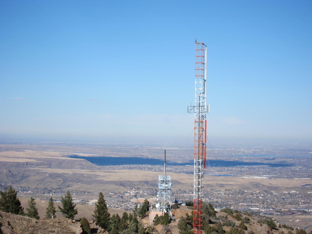
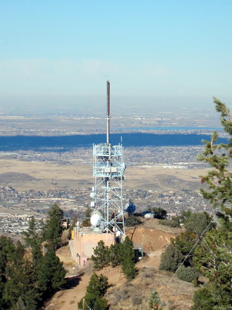
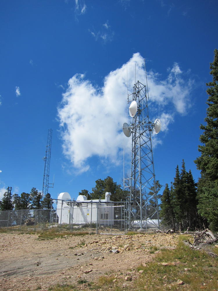
There is a fenced microwave facility and towers on top of the mountain. The area is not posted, but obviously you should avoid the facility.
The Dakota Hill summit is wide and almost flat, so you can easily set up and operate several hundred feet east of the microwave site, while staying well within 75 vertical feet of the summit. The eastern part of the peak is a pleasant, sheltered forest. You are unlikely to see anyone up there. It’s easy to set up and activate. I experienced no interference from the microwave facility.
There is another 4WD route up the eastern side of Dakota Hill – I have no information about access via that route. The western access via Apex Valley Road seems like the best way up.
George Carey Fuller
KX0R
Dakota Hill View
Dakota Hill Facility
James Peak
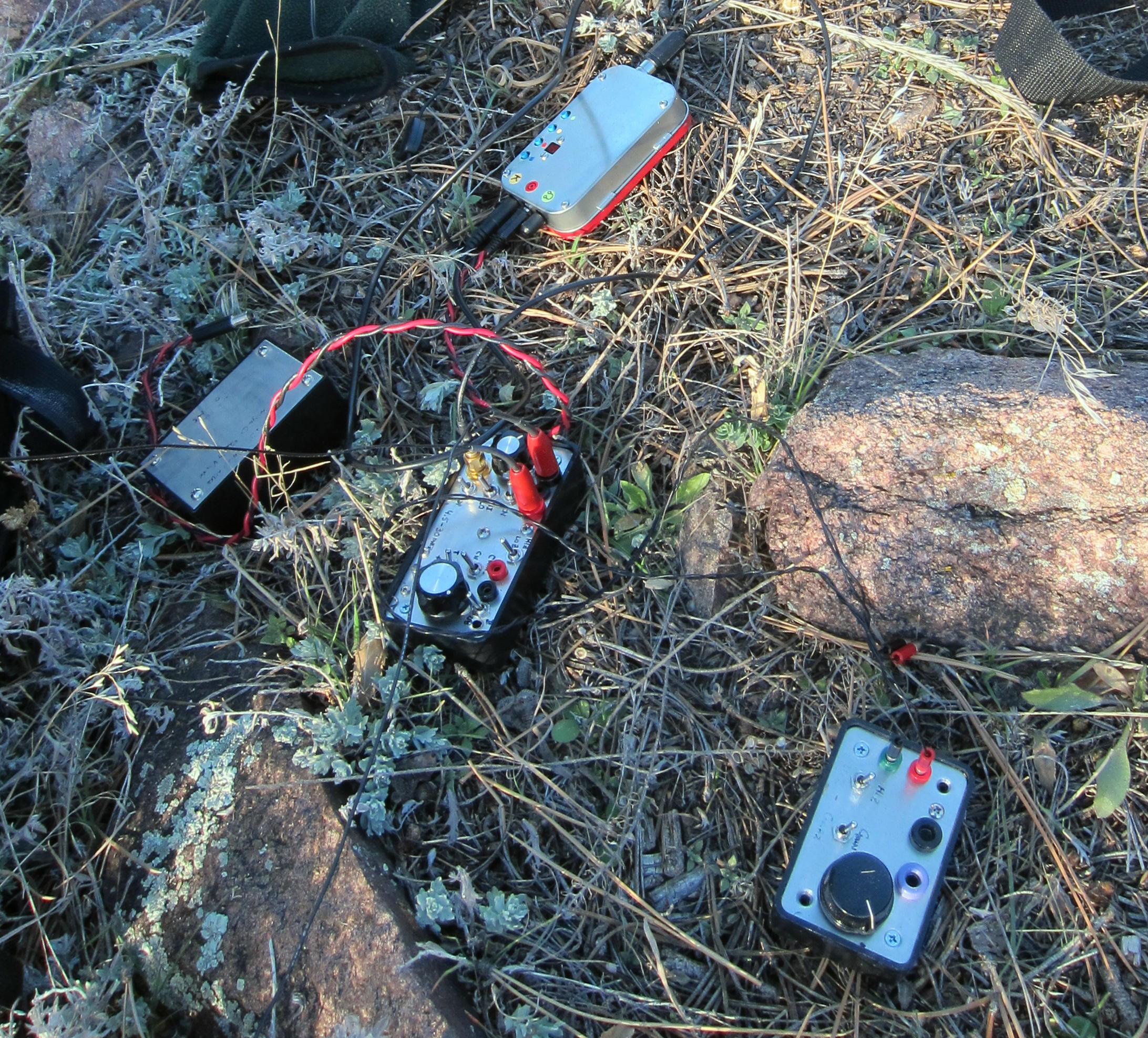
KX0R Rig
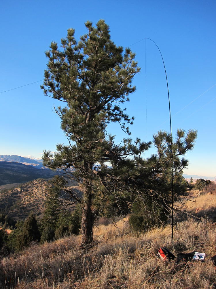
Dakota Hill Activation
!! WARNING !! There are old mountaineers, and
bold mountaineers… there are no old-bold mountaineers.
Hiking and mountain climbing are potentially hazardous activities particularly in Colorado with its extreme elevations. I am not accepting responsibility for any death or injury resulting from activations based on my trip reports. Proper training, experience, and personal capability assessment is required – enjoy!
The Needles are the highest points along Lumpy Ridge, an elongated mass of granite summits and cliffs located north of Estes Park, next to the McGregor Ranch. It takes considerable effort to activate the Needles, but it’s a rewarding expedition.
The most practical route up to the Needles starts at the Gem Lake Trailhead, located northeast of McGregor Ranch. Drive into Estes Park on route 34 or 36, follow the bypass (34) west past the Stanley Hotel on the hill, and turn right, north, on the Devils Gulch Road (43). Go north about 2/3 mile, pass the left turn to McGregor Ranch (where parking is no longer allowed), and drive northeast for about ½ mile on Road 43. Turn left on Lumpy Ridge Road and go north a short distance uphill to the marked Gem Lake Trailhead.
From the popular trailhead, start up the trail, and be careful to choose the route northwest to the Black Canyon Trail and McGregor Ranch – don’t go north up toward Gem Lake. The hike traverses the wide valley of McGregor Ranch and passes several climbing areas along the cliffs of Lumpy Ridge. After a couple of miles you’ll see the Needles high above. Below the Needles the route crosses an impressive mudslide path created during the September 2013 floods; this slide gushed down from near the Needles all the way to the valley floor. After the mudslide, the trail gains altitude steadily for about a mile, until it reaches a junction with the Cow Creek Trail. Turn right, go about 100 yards east to an obvious saddle, have some water, and head southeast up the northwest ridge of the Needles. Climb steadily up through the trees along the ridge until it gets craggy; then head slightly north of the ridge and continue climbing, while heading toward the summits. If you try to follow the ridge all the way it’s too craggy. Avoid the obvious NW summit – it’s a false summit. Stay on the left side of the ridge going up, north of the first summit, until you see the middle summit. The third summit, The Needle, may not be visible until you pass the middle summit. As before, stay left – north – of the middle summit until you come to the higher Needle right behind it.
If you have time, climb the middle summit – it’s a fun scramble up from the west end of its summit rock.
The third (actual) summit requires a bit of class 3 scrambling, and the peak is a very airy point. It feels as high as it appears from below! The views are spectacular in all directions. Estes Park and Lumpy Ridge lie below, prominent McGregor Mountain is close by, and Ypsilon and Fairchild are just a few miles away. This hike would be much more popular if there were a trail up to the Needles.
Please note that the final half mile of this climb is not recommended unless you have experience with off-trail hiking and navigation. From the developed trail at the saddle, there is no reliable path, and visibility is limited. The route gets progressively rougher, and there are many large rocks and fallen trees to climb over toward the top. When I climbed the Needles, there were a couple of inches of snow in the woods, and care was required to negotiate the slippery slope northeast of the ridge.
The dramatic summit area near the Needles can be very pleasant; I found a nice sunny spot with protection from wind right below the summit rock; this was a better place for my activation than the exposed summit. There are several small trees and useful rocks, and propagation is excellent in most directions.
Except for the off-trail part of this expedition, this is a scenic low-altitude Rocky Mountain National Park hike, with grand views and a variety of terrain. The total distance is about 10 miles, with a vertical gain of about 2500 feet. Trail use is light to moderate. This climb is not recommended unless weather and other conditions are right. On the right day, the Needle is a classic SOTA peak, offering a rich experience for the operator who enjoys activating high, isolated places.
A few pictures:
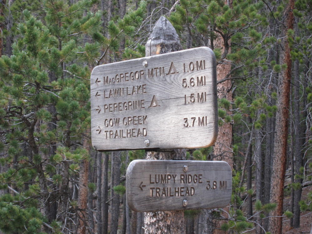
Trail Sign at the Junction West of the Saddle
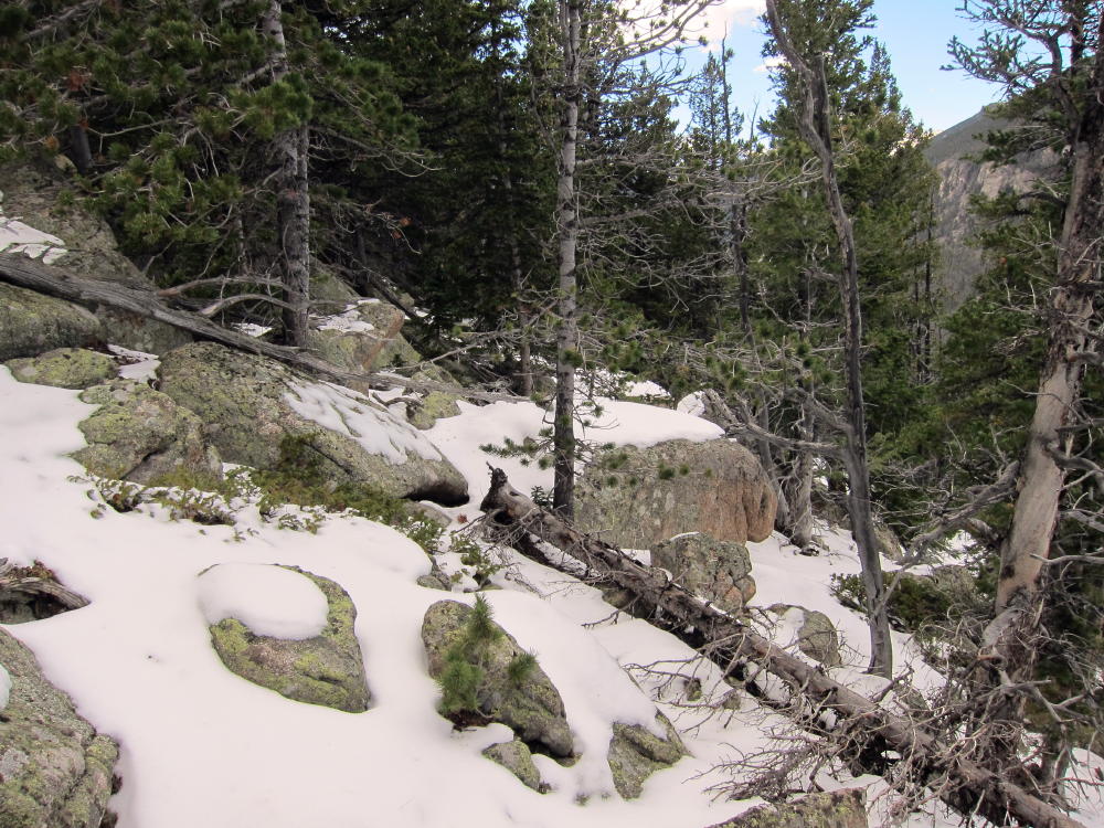
Route NW of the Summits Showing Challenges
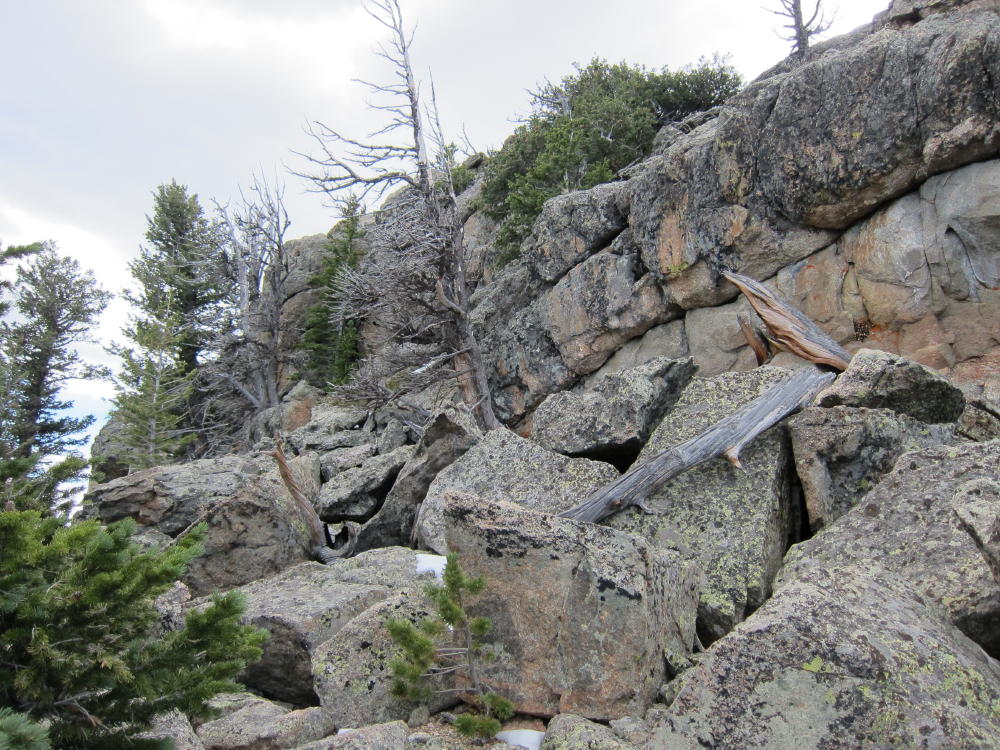
NW Side of the Summit Rocks
KX0R Activation of the Needles
ATS3B and Tuners
McGregor Mountain and Middle Needle from Summit
Exposed Summit of The Needle
Ypsilon and Fairchild from the Middle Needle
Middle Needle and Summit from Below
Mudslide at Trail Crossing below The Needles
George Carey Fuller
KX0R
!! WARNING !! There are old mountaineers, and
bold mountaineers… there are no old-bold mountaineers.
Hiking and mountain climbing are potentially hazardous activities particularly in Colorado with its extreme elevations. I am not accepting responsibility for any death or injury resulting from activations based on my trip reports. Proper training, experience, and personal capability assessment is required – enjoy!
 !! WARNING !! There are old mountaineers, and
bold mountaineers… there are no old-bold mountaineers.
Hiking and mountain climbing are potentially hazardous activities particularly in Colorado with its extreme elevations. I am not accepting responsibility for any death or injury resulting from activations based on my trip reports. Proper training, experience, and personal capability assessment is required – enjoy!
!! WARNING !! There are old mountaineers, and
bold mountaineers… there are no old-bold mountaineers.
Hiking and mountain climbing are potentially hazardous activities particularly in Colorado with its extreme elevations. I am not accepting responsibility for any death or injury resulting from activations based on my trip reports. Proper training, experience, and personal capability assessment is required – enjoy!