SOTA outings by KØMOS and contributors

Tag: Wyoming

  • W7Y/EW-Ø20 (Ring Mountain) – 2688 m / 8818 ft

    Ring Mountain (W7Y/EW-020), the second activation of the day, presented some obstacles… my planned route coming from Jelm Mountain (see picture below) was blocked by a closed gate with a NO TRESPASSING sign. There is a separate trip report for Jelm Mtn. if you are interested.
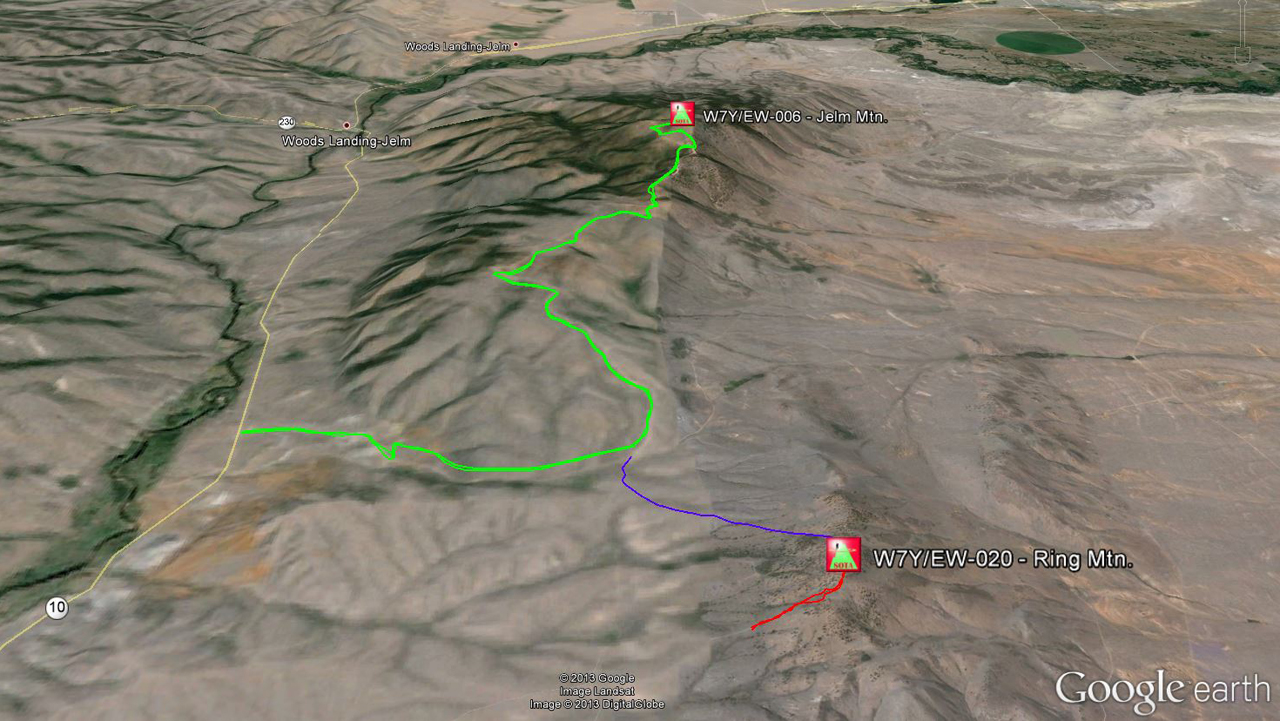
    Jelm Mountain / Ring Mountain: Planned hiking Routes
    Green = route to Jelm Mtn.
    Blue = planned route to Ring Mtn.
    Red = actual route to Ring Mtn.

    To find public access, I continued to drive south on Wy10. The only possible access I could find was a small two-track, not even a dirt road… I almost missed it and had to back up to turn east.
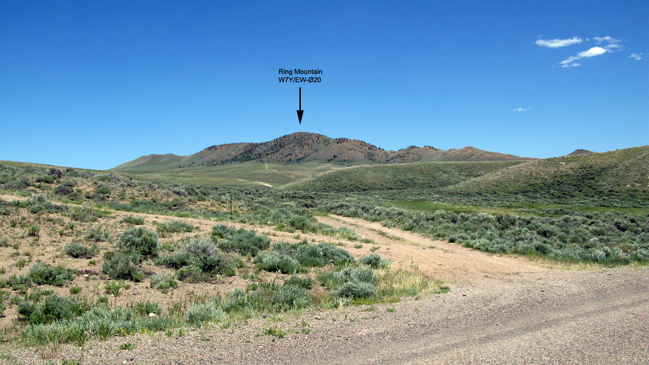
    Access to Ring Mtn.
    Access to Ring Mtn.

    Being hot, tired and thirsty from my prior 10+ mile hike up Jelm Mopuntain, I decided to drive my old Subaru as far up the hill as I could. It was an adventure for the old Subi, some of the ruts were deeper than the ground clearance of my Subi and I had to make sure not to get stuck up here… who knows when the next car would come by… towing would become expensive.
    Gate
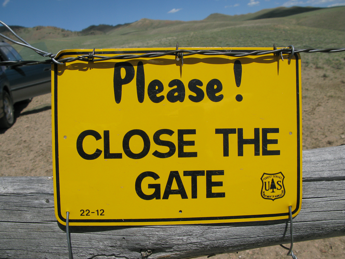
    US Forest Service Gate

    I managed to reach a gate with the car hitting the ground only once. I was sure hoping not to encounter another NO TRESPASSING sign. Luckily it was a US Forest Service gate, just 0.5 miles from WY10. I passed the barbed wire fence/gate in no time and continued to follow the two-track up the hill.
    Finally the track disappeared completely and it became too steep to continue by car. I left the vehicle, declared this point as the trail-head and continued my climb by foot.

    Trailhead:  8288 ft / 2526 m
    Summit:     8818 ft / 2688 m
    Elev. gain:  519 ft / 158 m
    Roundtrip: 0.8  mi / 1.2 km

    Compare this summit with my other activated summits

    How to get there:

    From Laramie WY, take WY-230 W for about 26 miles. Take a left onto WY-10 S for another five miles. The exact coordinates for the two-track:

    Latitude:  41° 2'32.49"N 
    Longitude: 106° 0'3.75"W

    Parking/Trailhead

    View Larger Map

    Red Tape:
    There is private land everywhere and the two-track seems to be the only public access to the summit.

    The Ascent:
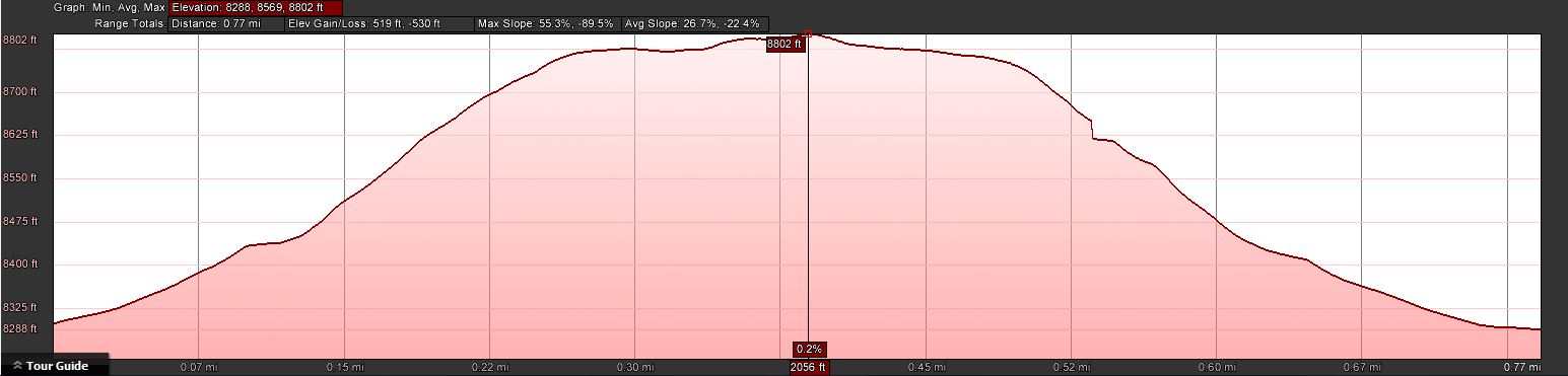
    The elevation profile
    The elevation profile

    The summit is close and clearly visible. Taking the route of least resistance, I crawled up the mountain in scorching temperature. The ground beneath me radiated the heat to uncomfortable levels and no shade was in sight.
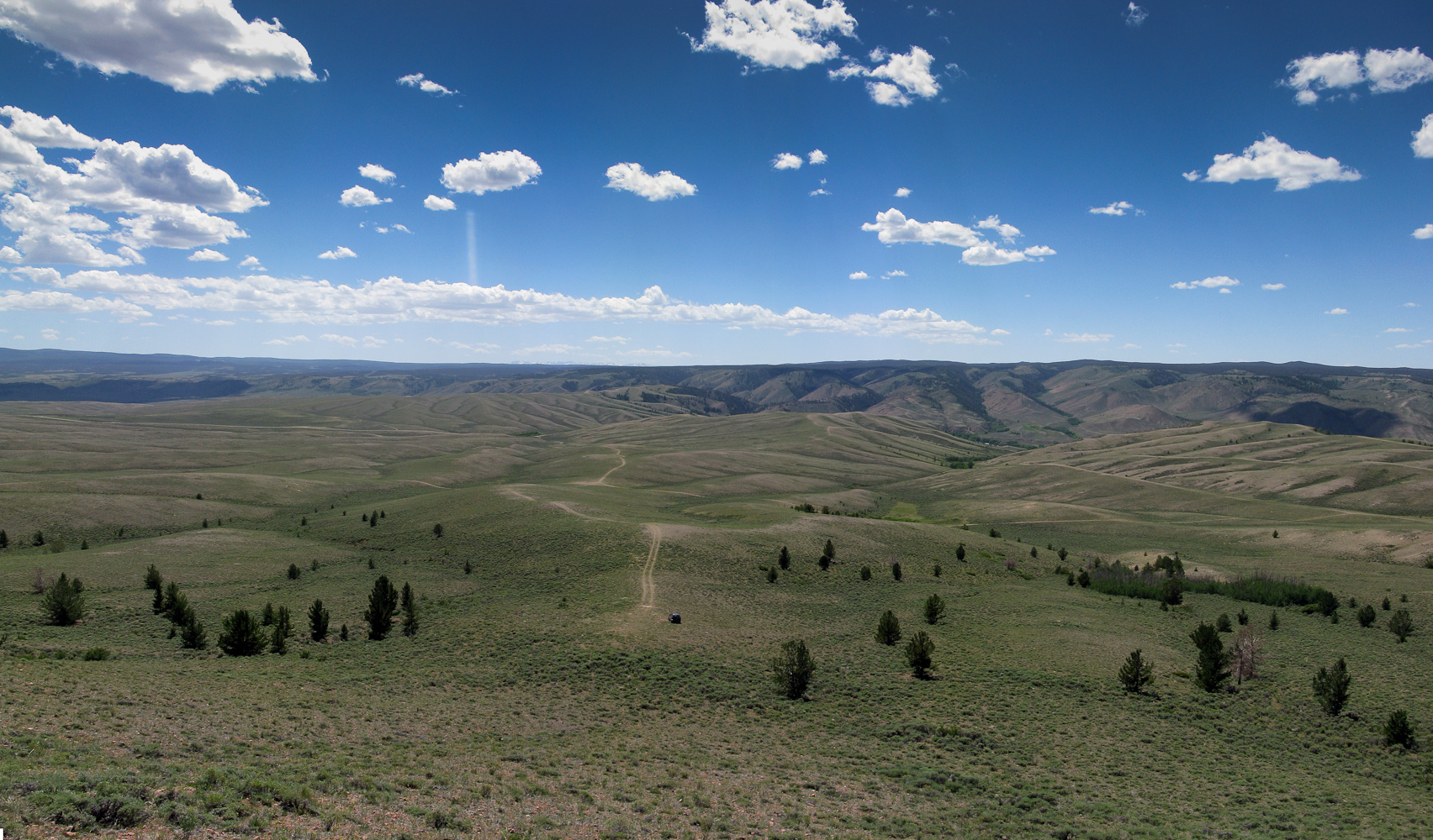
    View back towards the TH (you can see the car if you look closely)
    View back towards the TH (you can see the car if you look closely)

    The Summit:

    My shack
    My shack with Jelm Mtn. in the background

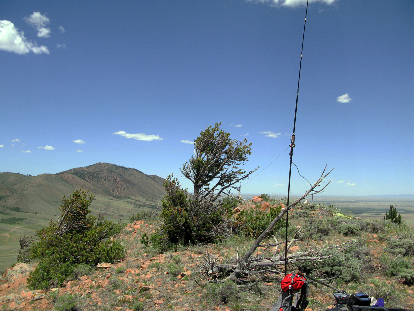
    The summit offers a nice 360 degree view, Jelm Mountain with the WIRO dome clearly visible just a few files to the north. The sun was already high in the sky and the scarce vegetation provided no shade what so ever. I used a dead tree to tie my mast to and tuned the antenna for 20m, only to encounter the same kind of QRM I ‘enjoyed’ on Jelm Mtn. This time I did not try other bands but moved my shack immediately a little further down the mountain to have the summit between my  antenna and Jelm Mtn, still blaming some of the radio installations up there for the noise – BINGO, the noise was gone and Phil/NS7P answered my call, spotted me and I logged ten contacts in no time – thanks Phil.
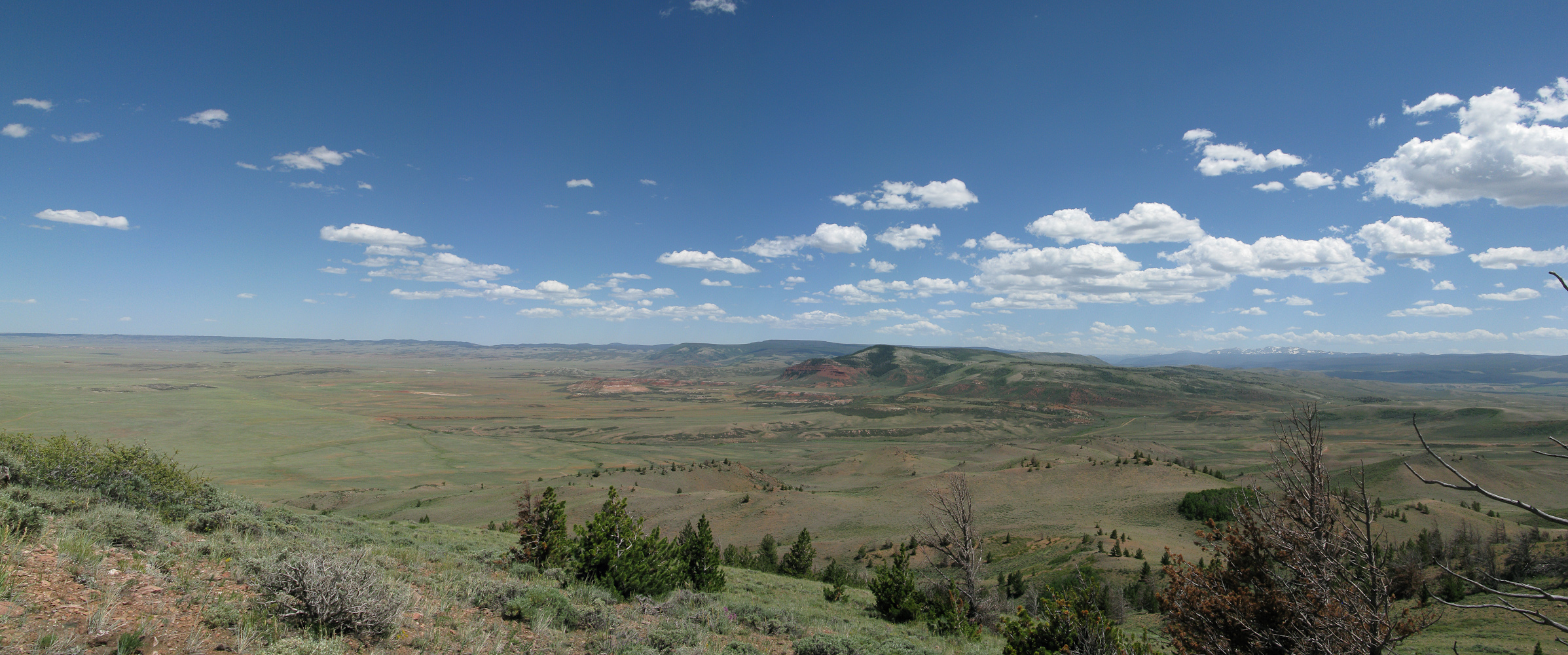
    Panorama view towards north-west
    Panorama view towards north-west

    The Descent:
    Nothing noteworthy on the descent… did I mention that it was HOT? I reached the car, turned on the air-condition to max and carefully navigated my way back to the road while nibbling on my sandwich – thanks to the heat with a layer of melted cheese – yummy.

    Some video impressions:


    If you would like to leave questions or comments, please do so through Youtube.


    ATTENTION !! WARNING !! There are old mountaineers, and bold mountaineers… there are no old-bold mountaineers. Hiking and mountain climbing are potentially hazardous activities particularly in Colorado with its extreme elevations. I am not accepting responsibility for any death or injury resulting from activations based on my trip reports. Proper training, experience, and personal capability assessment is required – enjoy!
  • W7Y/EW-ØØ6 (Jelm Mountain) – 2943 m / 9656 ft

    I felt like it was time to explore the association just north of me, W7Y or Wyoming. The closest mountains are just ~60 mi / 100 km from my home QTH (as the crow flies) and are in the SE region of the association. To ‘justify’ the ~300 mi / 480 km drive I was planning to activate at least two summits. Jelm Mountain (W7Y/EW-006) and Ring Mountain (W7Y/EW-020) seemed to fit the bill perfectly. The two summits are just three miles apart and reaching Ring Mountain is about a two mile extension coming back down from Jelm Mtn. (see picture below) – so much for the plan.

    Jelm Mountain / Ring Mountain: Planned hiking Routes
    Green = route to Jelm Mtn.
    Blue = planned route to Ring Mtn.
    Red = actual route to Ring Mtn.

    During my research for the hike to Jelm Mtn. I discovered two notable facts:

    1) The summits hosts the WIRO, the Wyoming Infrared Observatory and therefore a dirt road connects WY10 with the summit.

    2) The yearly organized Jelm Mountain Run is following the same road. The course  record is held by Nik Deininger who finished the 10+ mile course in 1:10:30 in 2012. The challenge was on… could I beat his record?  ;)

    I was not seriously planning to break Nik’s record but I was hoping to get a tour of the observatory.

    Trailhead:  7622 ft/ 2323 m
    Summit:     9656 ft / 2943 m
    Elev. gain:  2627 ft / 801 m
    Roundtrip: 10.5  mi / 16.9 km

    Compare this summit with my other activated summits

    How to get there:

    Turn left onto Jelm Mountain Road
    Turn left onto Jelm Mountain Road

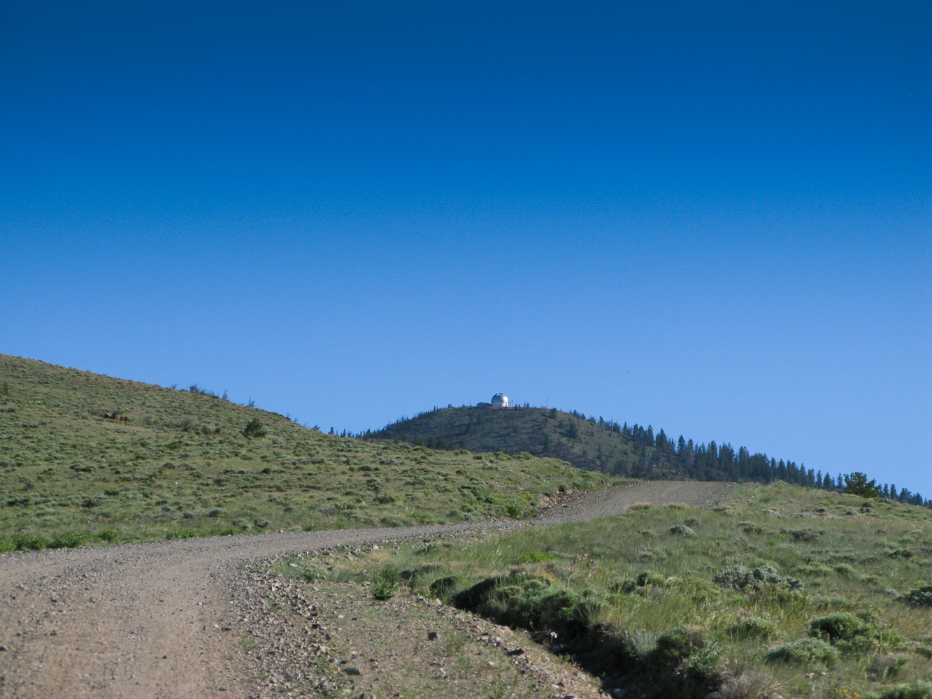
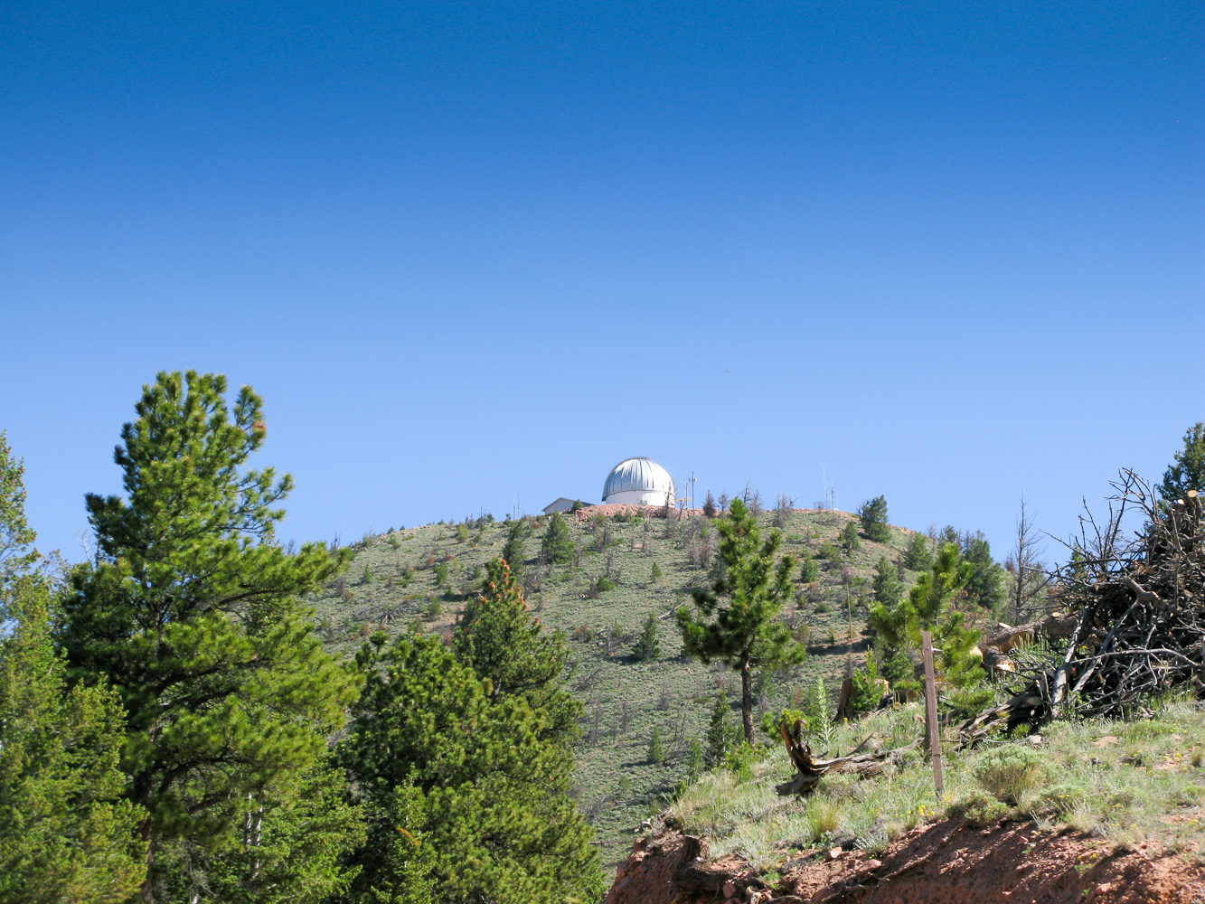
    Jelm Mountain (incl. the dome of the observatory) is visible for miles and miles (even before reaching Laramie) and it is straight forward to get to. From Laramie WY, take WY-230 W for about 26 miles.

    Take a left onto WY-10 S for another three miles.
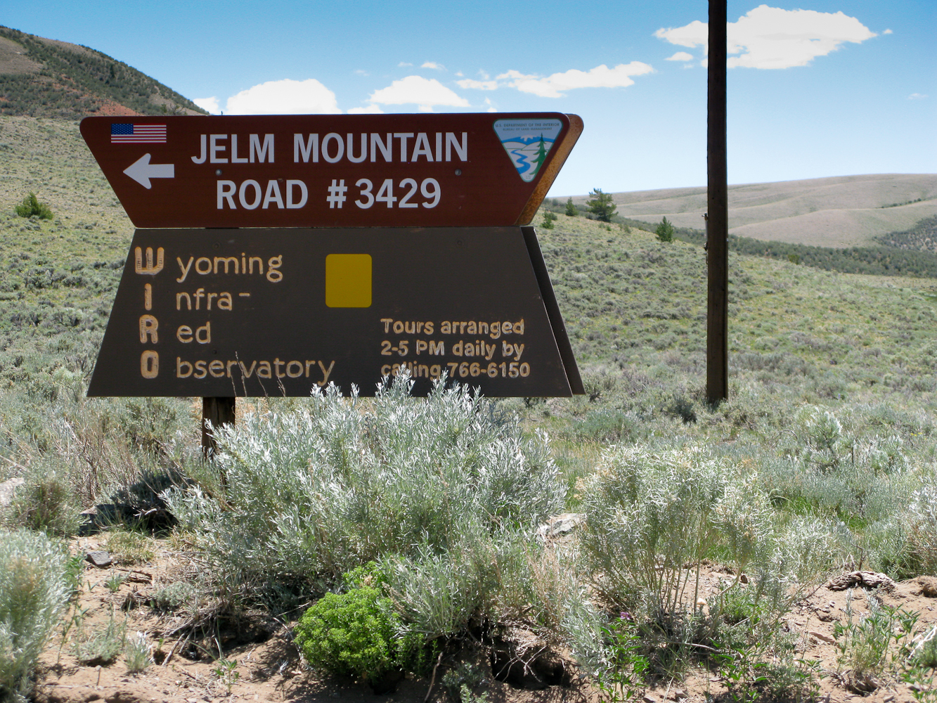
    You will see the sign for the WIRO on your left (see picture on the right) with a maintenance building from the county with ample space to park your car… You can’t miss it.


    Parking/Trailhead

    View Larger Map

    Red Tape:
    This is private land and the dirt road seems to be the only public access to the summit.

    The Ascent:

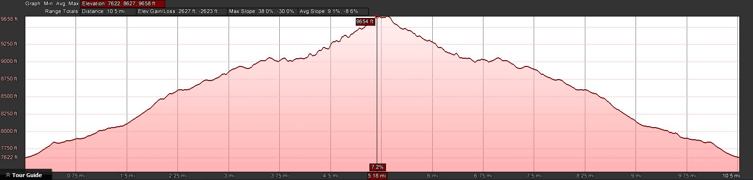
    Jelm Mtn - Elevation Profile
    Jelm Mtn – Elevation Profile

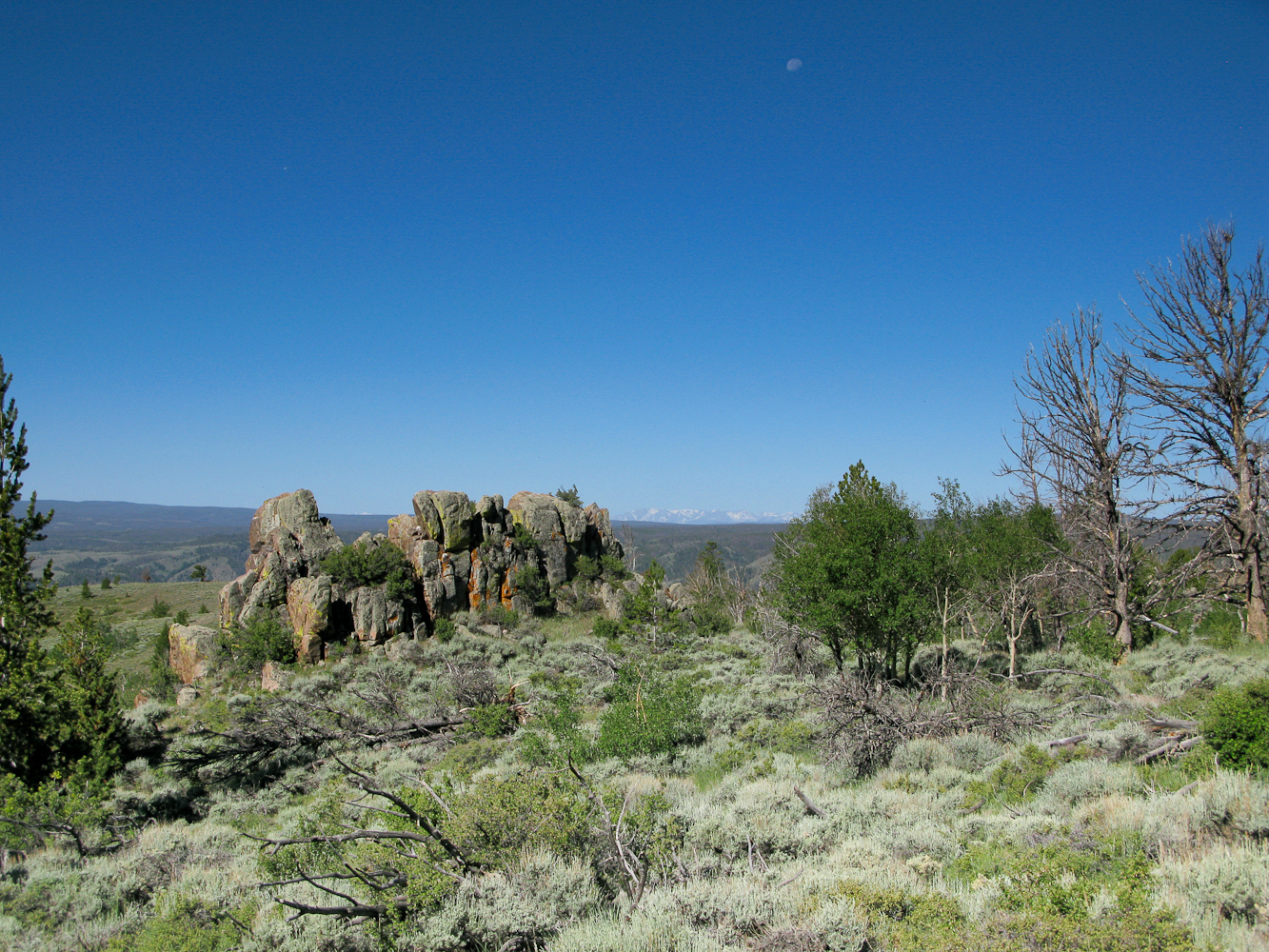
    It does not get any easier than this. Just follow the dirt road all the way to the top. It was a very hot day (upper 90° F / 35°+ C) and the route does not provide any shade. It’s just you, the heat, tons of mosquitoes and a long long dusty road to the top. The views are completely different to what I am used to from the Front Range. Less dramatic but appealing and captivating nevertheless.

    Snowy Range in the distnacewith Moon
    Snowy Range in the distance

    The Summit:

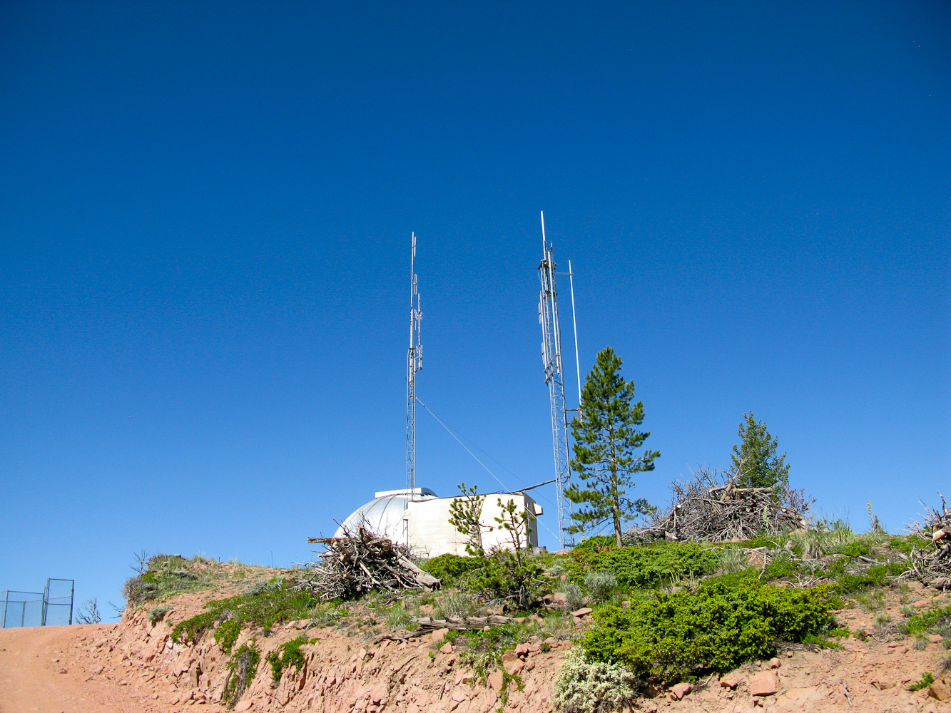
    A few antennas on the summit
    A few antennas on the summit

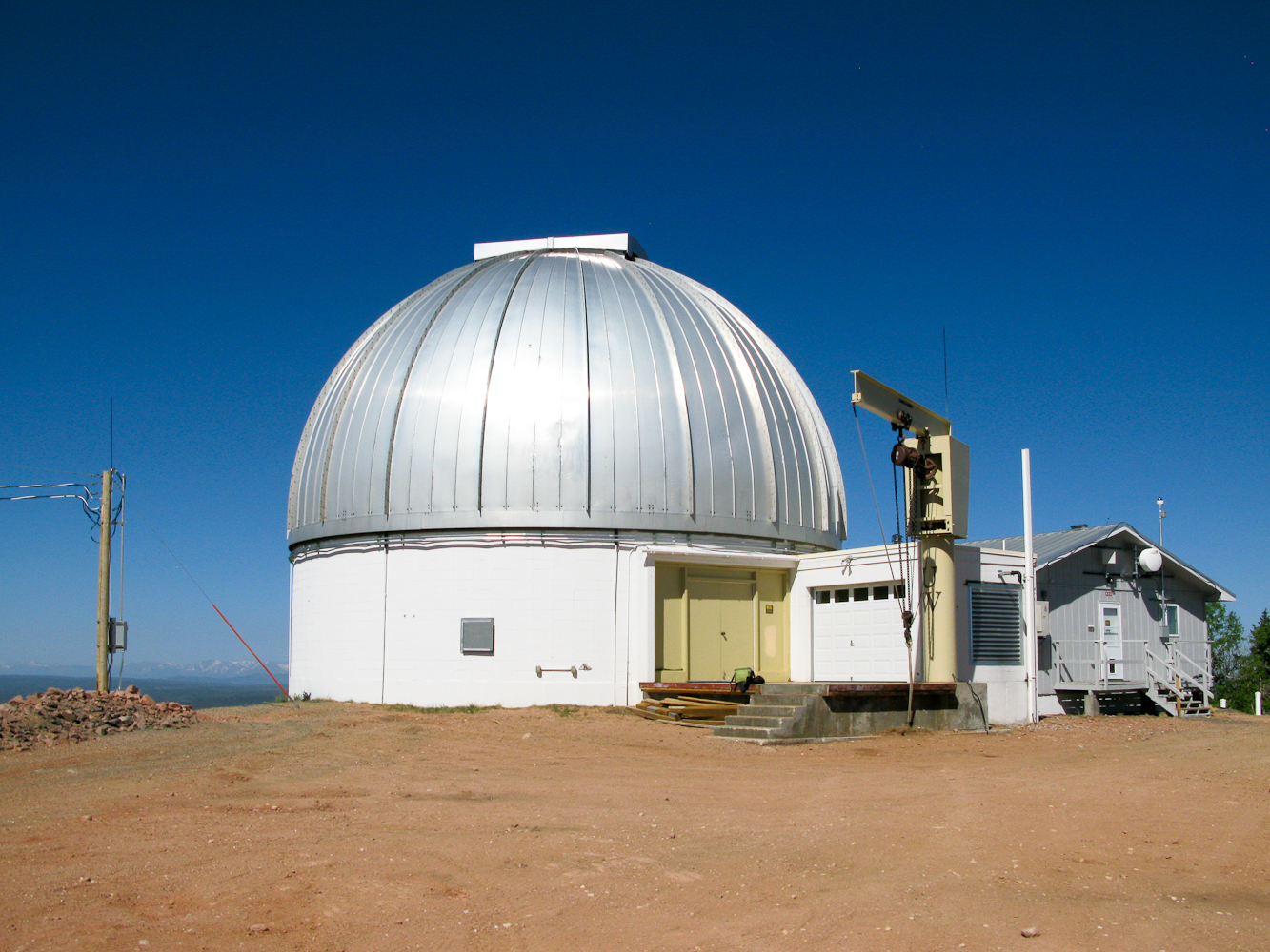
    The summit is occupied by the dome (observatory), attached living facilities, and a few antennas with a container for equipment which seem not to be related to the WIRO. Even though there was a car parked in front of the observatory, I did not meet anybody… so much for the tour I had been hoping for.

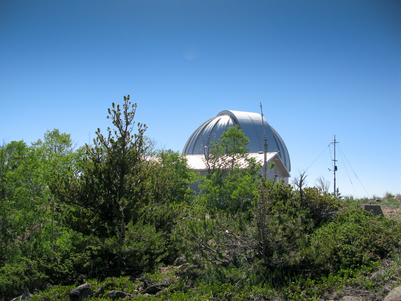
    I setup the Buddipole behind the dome, attaching the mast to a dead tree. Turning on the radio presented me with S8 noise on 15, 17 and 20m… I could not hear a thing. I blamed it on the observatory and switched to 2m and my tape-measure Yagi antenna, hoping to get the necessary four contacts. The only contact was with K7HRO/Tom in Cheyenne (~60 mi with a few mountains in between). Signals were barely above the noise but we finally had a valid QSO.

    Trying to get below any potential radiation patterns coming from the antenna on the summit, I moved my stuff further down the mountain, careful not to leave the activation zone. Setting up the antenna on the west side – with the antenna well below the summit – achieved the goal… noise on 20m was down to a ‘normal’ levels. I was now more than two hours beyond my posted  SOTA alert but WØMNA/Gary and WØERI/Martha returned my call immediately and spotted me on SOTAwatch, rescuing this activation –  thanks guys.

    The Descent:
    I picked up the pace on my way down to make good on my time, not easy with these temperatures. I felt like a turkey on Thanksgiving… HOT.

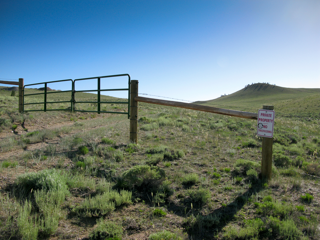
    Closed gate / No Trespassing
    Closed gate / No Trespassing

    According to my plan I was supposed to ‘swing over’ to Ring Mtn., the blue route on my map (see picture above). Unfortunately it was impossible… a closed gate with a NO TRESPASSING sign blocked my way to the second summit of the day. Disappointed I moved on to the car, hoping to find public access further down the road.  I found the car where I left it, jumped in, started the engine to get the air-condition going and made a serious dent into my water supply stored in the car.

    I continued driving south on Wy10 in order to find access to Ring Mountain. Feel free to add your questions/comments below and/or Read on

    More photos:


    ATTENTION !! WARNING !! There are old mountaineers, and bold mountaineers… there are no old-bold mountaineers. Hiking and mountain climbing are potentially hazardous activities particularly in Colorado with its extreme elevations. I am not accepting responsibility for any death or injury resulting from activations based on my trip reports. Proper training, experience, and personal capability assessment is required – enjoy!