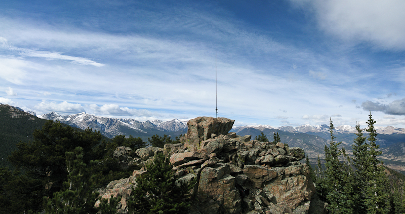
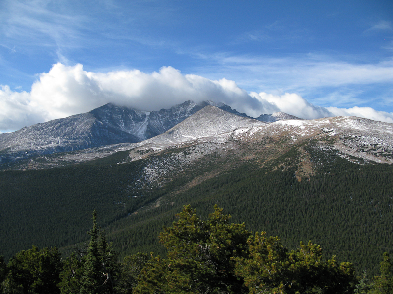
This was a re-activation for me. If you are looking for all the details on how to get there and other useful info, you can find the original trip-report with the necessary details right here. This post has only a few specifics from today’s activation.
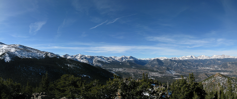
After two days of high winds here in northern Colorado (I clocked 45 mph winds in my back yard – the news reported even higher winds in the mountains of up to 75 mph gusts) the weather forecast for today was excellent. I woke up to 17 degrees F (~minus 8 C) and blue skies. Since everybody in the family had the day off, I was joined by my wife and my daughter – making this a fun family affair. We left the house at nine o’clock with the goal of being at the trail-head of Estes Cone by 10, and on the air by noon local time (or 1900UTC). That’s how I announced my activation on SOTAwatch.org. Since today was a federal holiday, traffic was minimal and the mostly dry roads allowed me to pass through Big Thompson Canyon rather quickly. Nevertheless, we arrived at the TH 15 minutes later as expected because I underestimated the time it took to drive from Estes Park to the trail-head.
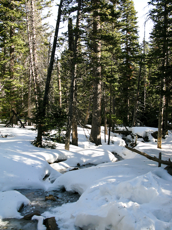
Determined to keep my ‘appointment’ on the summit, I shouldered my pack and headed towards the mountain – splitting up our ‘activation team’. My seven year-old cannot yet keep up with me in deep snow and we planned to re-join later somewhere on the trail after the activation.
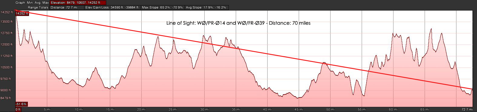
There were two chances for an S2S contact today, one with VA2OTA on HF and the other with KF6LHX (Tim) who was activating WØC/PR-Ø14 near Breckenridge on VHF – that’s only 70 miles (~115 km), I covered larger distances on my HT before. On my way up, I was able to copy KT5E on 2m saying:”Your are Summits on the what?” and knew immediately that Tim was OTA. I was unable to contact him directly however. I was still in the valley and surrounded by trees and mountains. I contacted KT5E and he relayed my message to Tim. By the time I arrived on ‘my’ summit he had already moved on – you can’t stay too long at 14236 ft (4339 m) in winter.
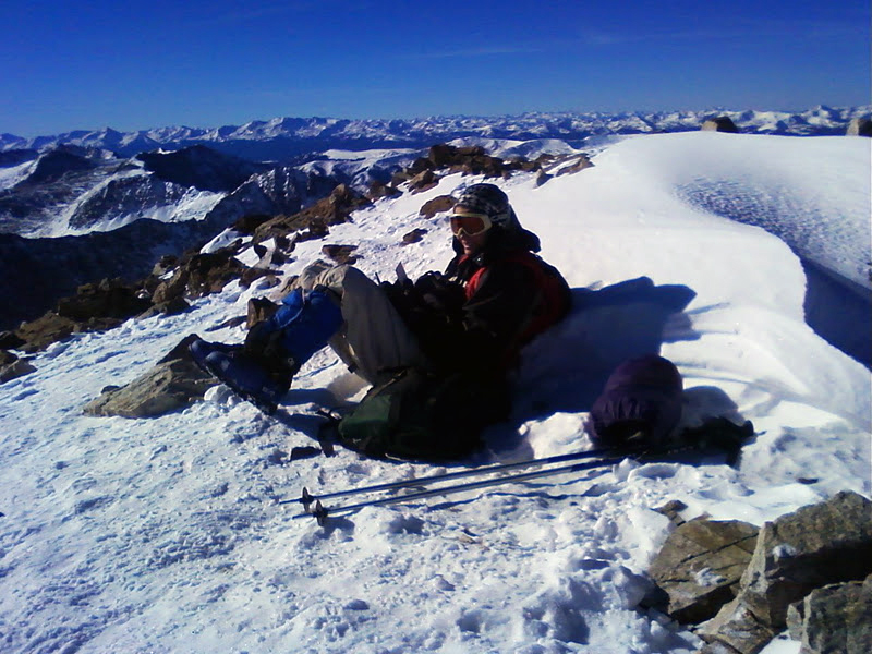
You can find Tim’s trip-report on the SOTA reflector and see Tim’s PQL (Personal QSO Logger) shivering at high elevation on the right. Back home I learned that VA2OTA’s activation was cancelled due to bad weather – so that took care of all the S2S contacts possibilities for today.
Today I looked a little closer at the topography between Quandary Peak and Estes Cone to see whether a contact would have been feasible… it does not look promising (see below):
It took me an hour and 45 minutes to hike the three miles (~4.5 km) and 2000 ft (~600 m) of elevation through about two feet of (mostly) packed snow. I reached the summit at 11006 ft (3348 m) on-time and logged my first QSO at 19:00 UTC. The wind was blowing pretty strongly and I setup my equipment under the same rock formation than last time – about 30 feet below the summit. That blocked my signal towards the East and South-East but made the high winds a lot more bearable. The views from up here are spectacular. Longs Peak (4344 m / 14255 ft ) and Mt.Meeker (4240 m / 13911 ft ) at a close range (~4 miles / 6.5 km as the crows fly) and the snow-covered Mummy Range with several 13000+ ft (~4000 m) summits towards the NNW are all within view. On the other side, one can spot beautiful Lily Lake and in the distance Estes Park.
I tuned the antenna for 17m and started calling CQ. N4EX (Rick) was the first who answered my call on HF and he spotted me as well (thanks Rick). I was forced to move to another frequency after my 12th QSO since some other HAM’s decided to settle on ‘my’ frequency – they did not react to any of my calls and I could not get any other contacts on 17m. Since my extremities started to feel cold, I was tempted to wrap it up and head out of the cold wind. Instead, I opted to give it a try on 20m and re-tuned the antenna, looked for a free frequency and started to announce my presence… no takers after five minutes on this band… time to pack-up and move my body to get warm.
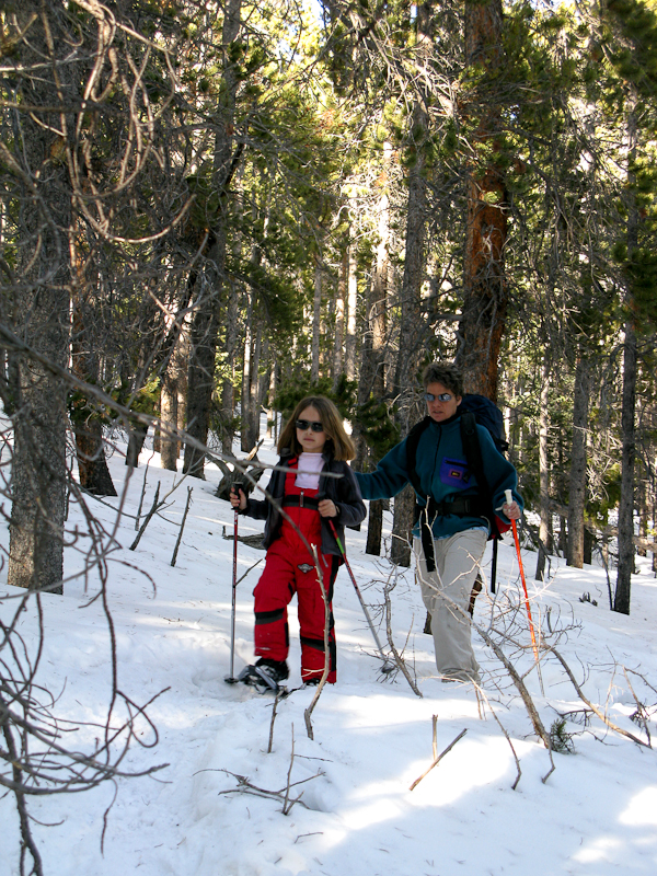
I was pretty much running/sliding down the south-westerly facing route to catch-up with the rest of the family. I found them just below the saddle, singing Christmas songs while trudging through the trees on their snow-shoes.
I was a perfect day in the mountains and it felt great to burn some of the calories which had accumulated around my waist over the holidays – too bad I could not reach Tim for a S2S.
Some video Impressions:
httpvh://www.youtube.com/watch?v=NFeMLIAqpdA
If you would like to leave questions or comments, please do so through Youtube.
 !! WARNING !! There are old mountaineers, and
bold mountaineers… there are no old-bold mountaineers.
Hiking and mountain climbing are potentially hazardous activities particularly in Colorado with its extreme elevations. I am not accepting responsibility for any death or injury resulting from activations based on my trip reports. Proper training, experience, and personal capability assessment is required – enjoy!
!! WARNING !! There are old mountaineers, and
bold mountaineers… there are no old-bold mountaineers.
Hiking and mountain climbing are potentially hazardous activities particularly in Colorado with its extreme elevations. I am not accepting responsibility for any death or injury resulting from activations based on my trip reports. Proper training, experience, and personal capability assessment is required – enjoy!