WØC/FR-Ø7Ø
Castle Mountain
2693 M / 8834 ft
Nov 09, 2013
First Activation
Apr 25, 2014
by KXØR
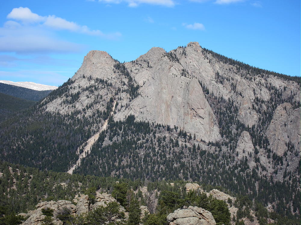
Castle Mountain is an interesting minor summit in the eastern part of Rocky Mountain National Park, right above the town of Estes Park. It provides a fun SOTA activation.
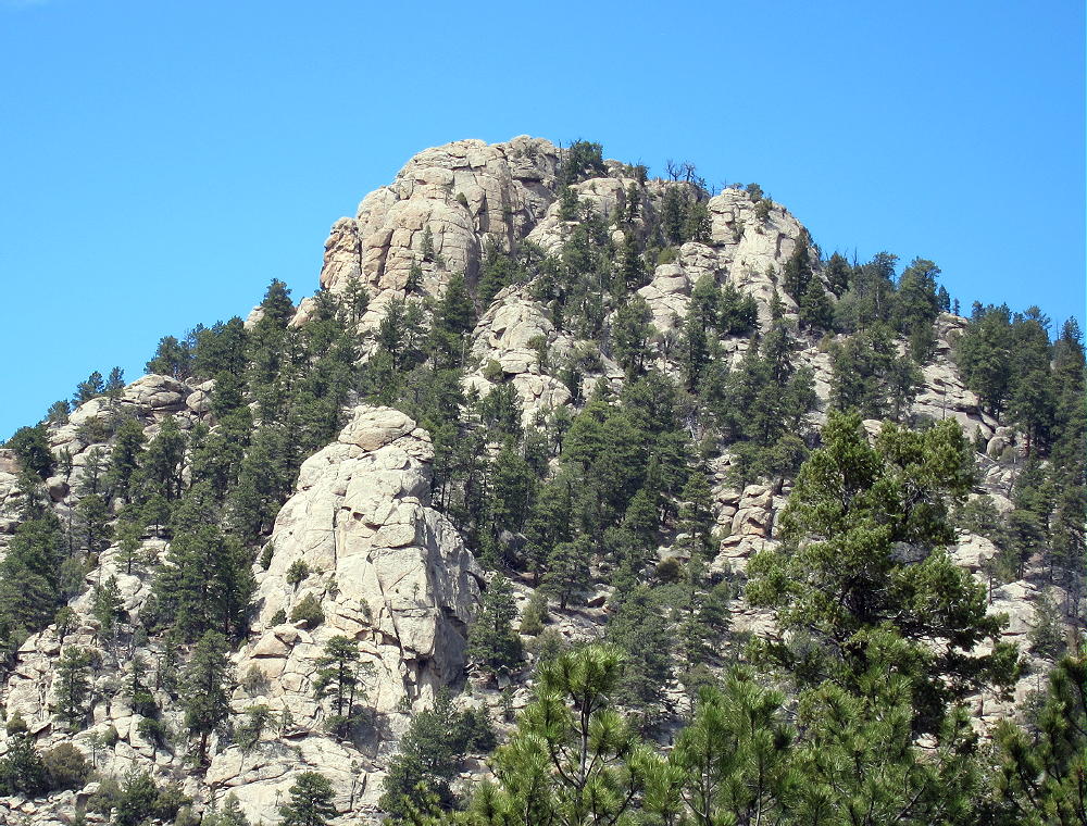
Since this trip has no marked route, and the terrain is steep, good navigation is required. Study the route, take a topographic map, and follow the directions here to stay on National Park land. The key to Castle is to know where to start the hike.
Drive to Estes Park, take the Highway 34 Bypass north (W. Wonderview Ave), drive past the Stanley Hotel and west about 1-1/2 miles, almost to the junction where W Elkhorn Avenue (also Route 34) meets the Highway 34 Bypass west of town. A convenient paved parking spot is on the south side of the Route 34 Bypass, just east of the junction.
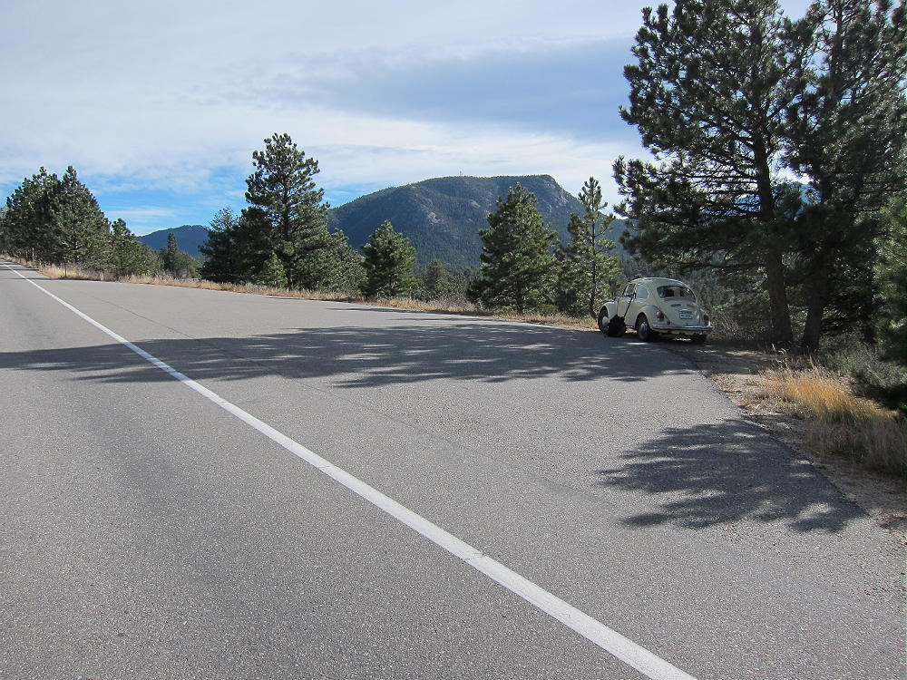
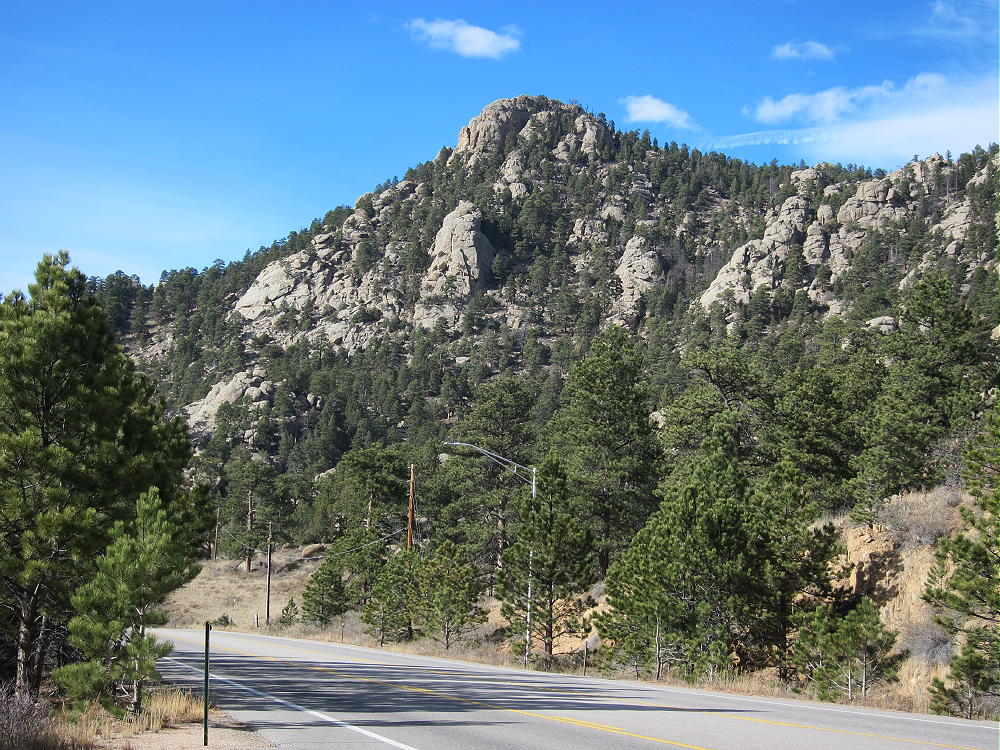
Right across the highway you can see the NPS signs on posts. The land from the highway to the top of the Mountain is part of Rocky Mountain National Park (RMNP). No fee or pass is required for this adventure!
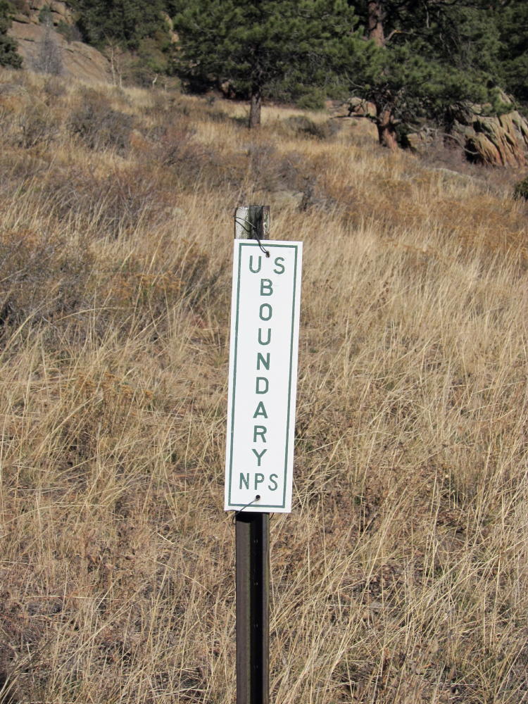
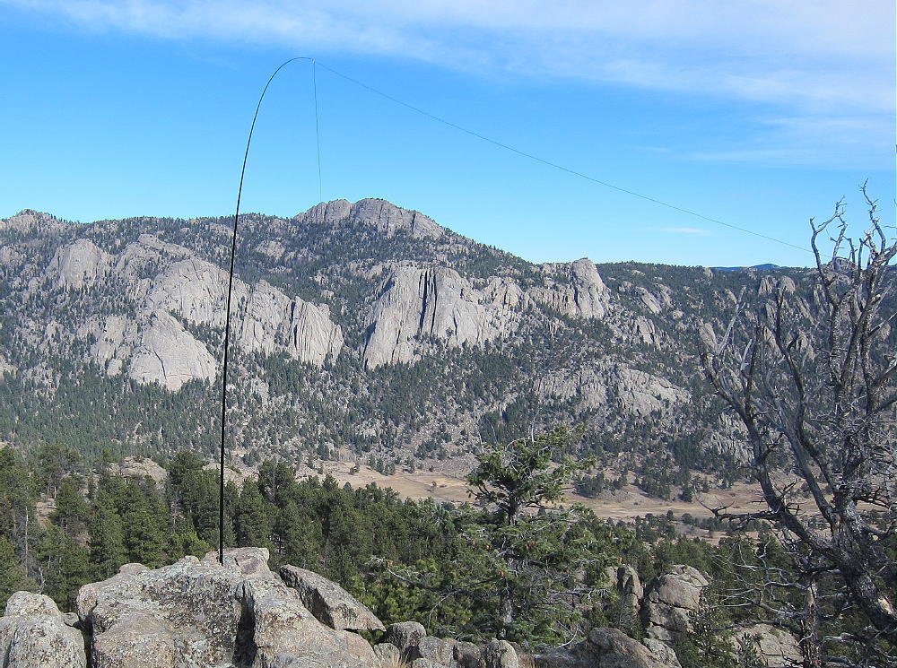
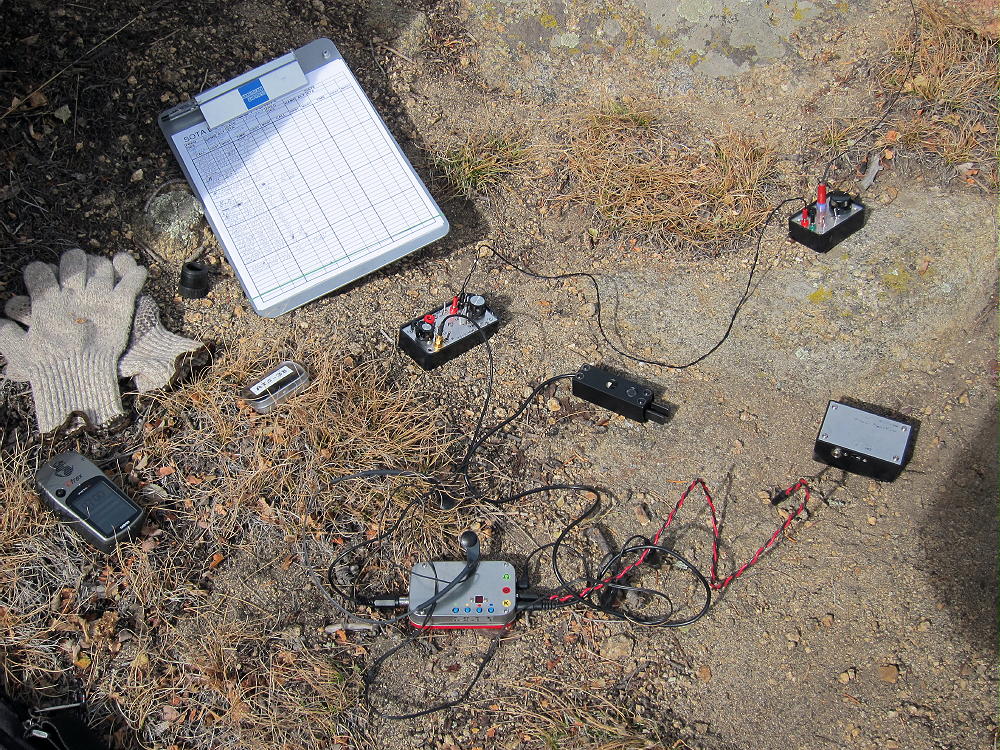
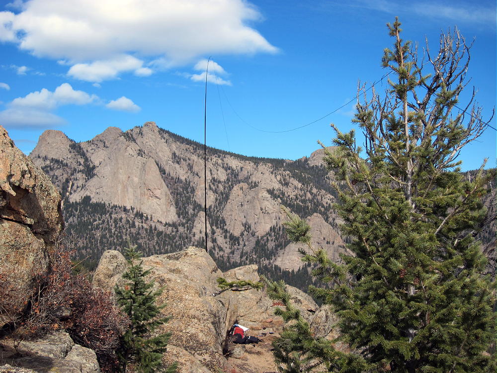
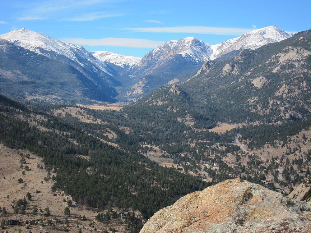
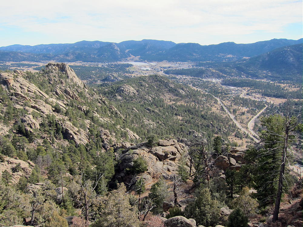
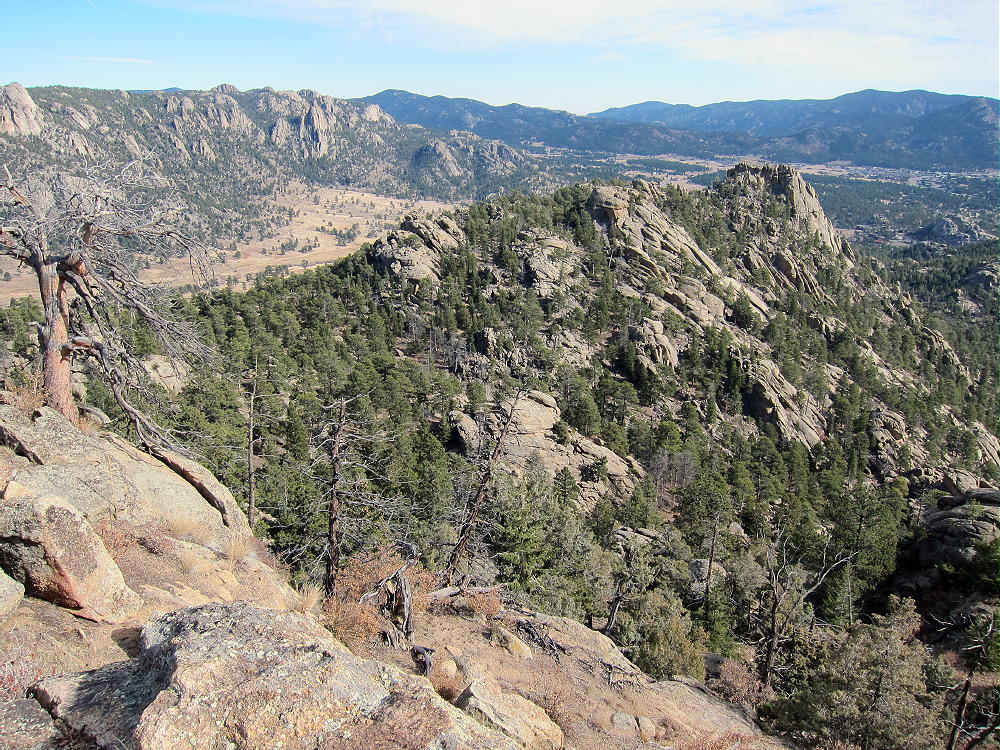
Cross the highway and head up a faint path in the gully north of the parking spot. Stay on the west side of the draw to avoid private land just to the east. After about ½ mile, the gully ends at a saddle near 8000 feet. From this saddle, head first northwest, and then west up the steep ridge toward Castle – there is nothing to follow except bits of game trails. No rock climbing is required – just head up the slope to the rocky ridge leading west toward Castle. On the ridge, stay slightly south to keep inside RMNP. Drop down slightly to a saddle east of the Summit, and continue west up to the easy summit ridge. Climb south toward the obvious peak, and then do a few easy class 3 moves to ascend the prominent summit. Right below the top is a good place to set up and operate. The Needles, McGregor Mountain, Deer Mountain, etc., are close to Castle. Estes Park is over a thousand feet right below. This is a super radio site – like being on a tower! I worked 2 G’s and an EA on 15M CW – 30 Q’s in all.
There is an alternate shorter route up Castle: from the parking spot, cross the highway, and hike a couple hundred yards northwest – avoid private land near the highway. Find an old road leading toward a major gulch southeast of Castle Mountain – follow the road a short distance up.
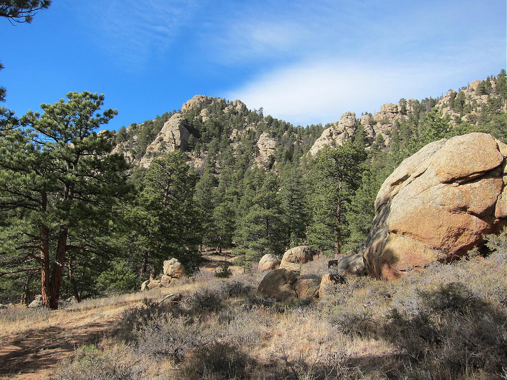
At the end of the road, just head up into the gulch, and climb up a steep, washed-out trail all the way to the saddle east of Castle. It’s steepest midway up.
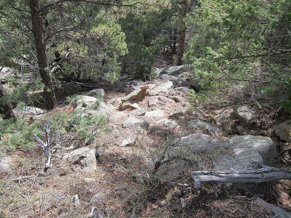
From the saddle, continue west and then south to the summit as described above. Be sure to descend the same way to avoid cliffs and crags.
Castle Mountain can easily be combined with other SOTA peaks near Estes Park for a dual or multiple activation.
73
George Carey Fuller
KXØR
 !! WARNING !! There are old mountaineers, and
bold mountaineers… there are no old-bold mountaineers.
Hiking and mountain climbing are potentially hazardous activities particularly in Colorado with its extreme elevations. I am not accepting responsibility for any death or injury resulting from activations based on my trip reports. Proper training, experience, and personal capability assessment is required – enjoy!
!! WARNING !! There are old mountaineers, and
bold mountaineers… there are no old-bold mountaineers.
Hiking and mountain climbing are potentially hazardous activities particularly in Colorado with its extreme elevations. I am not accepting responsibility for any death or injury resulting from activations based on my trip reports. Proper training, experience, and personal capability assessment is required – enjoy!