W0C/PR-092
Gray Jay Mountain
3342 m / 10965 ft
August 24, 2014
First Activation
By KX0R
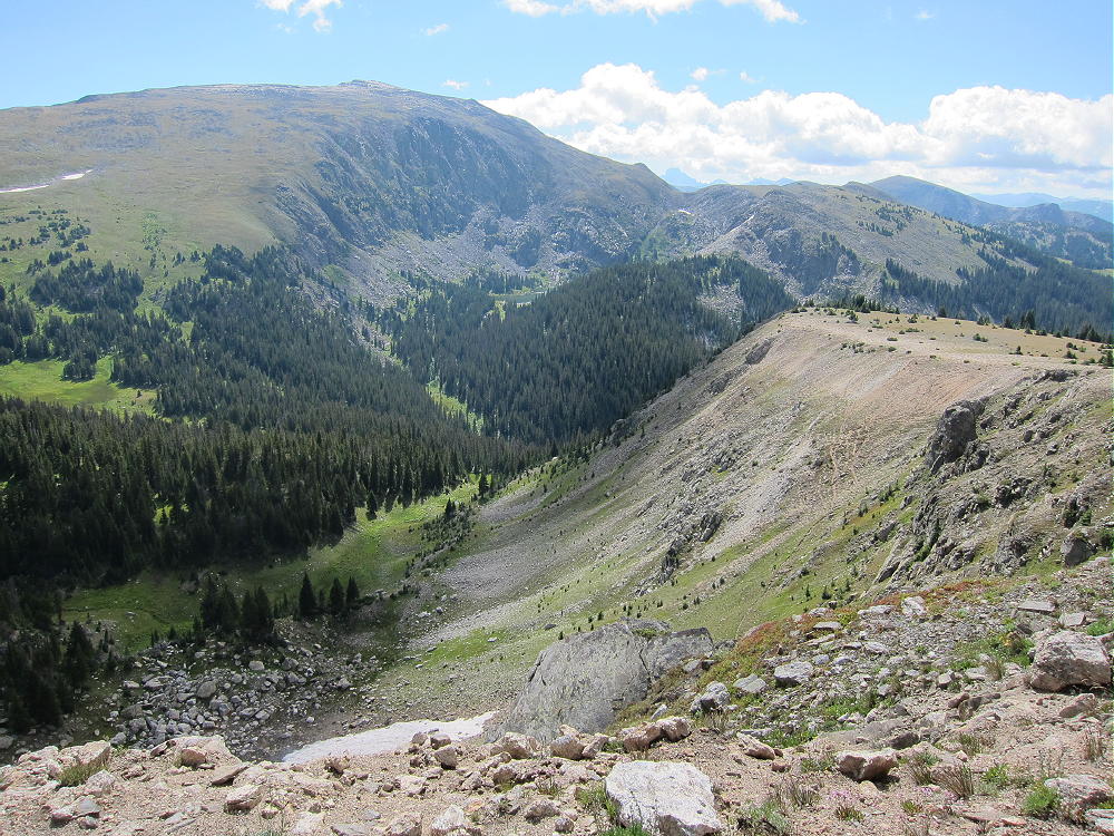
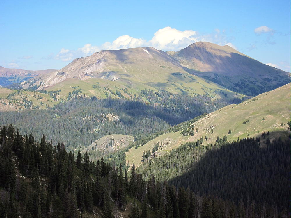
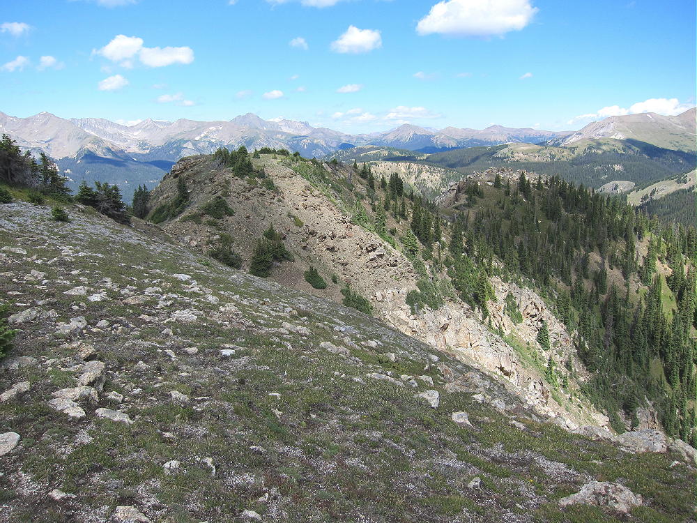
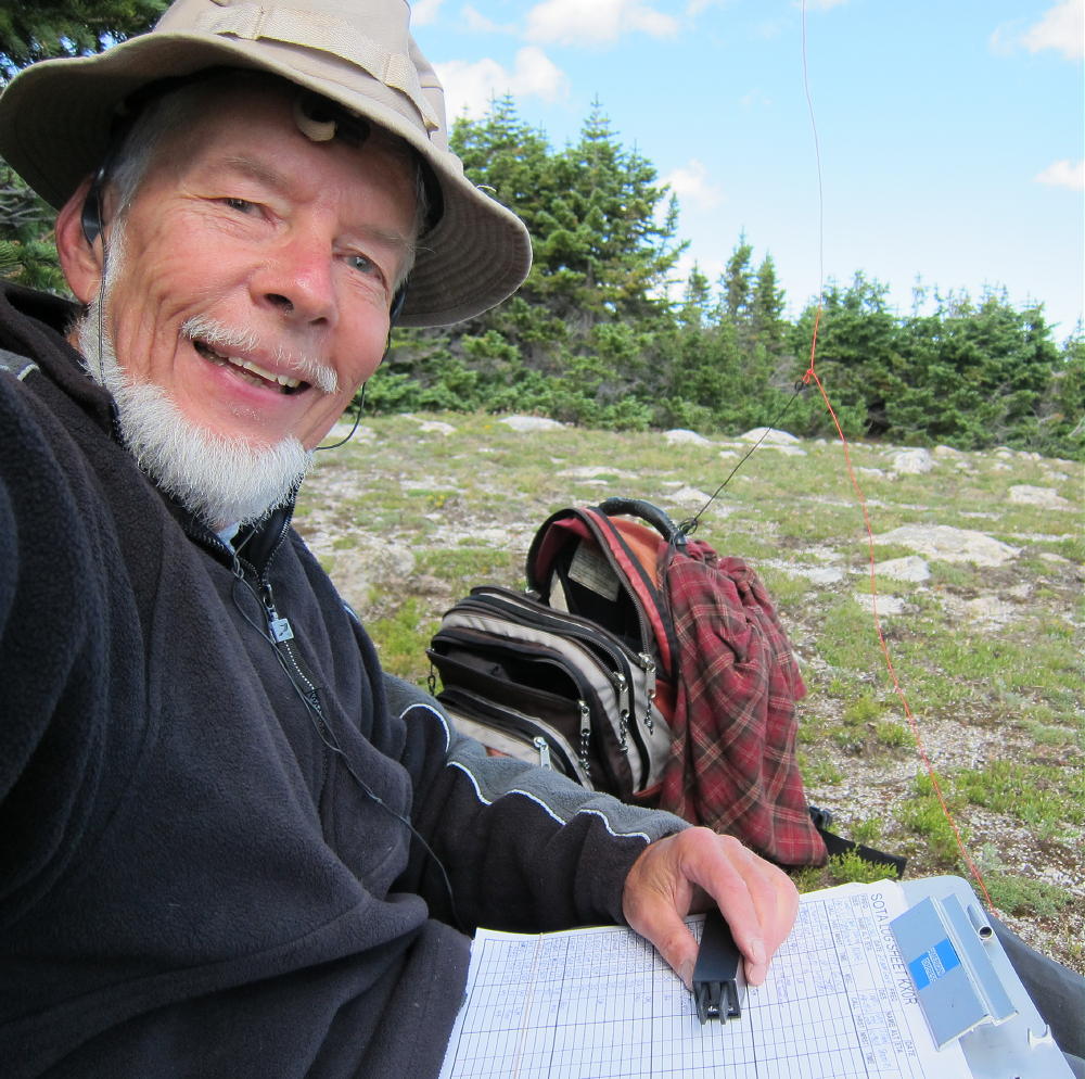
Gray Jay Mountain is a minor summit near Mount Ida and the Continental Divide in Rocky Mountain National Park. Because the peak is in the wilderness, far from roads, it takes a significant effort to activate it – but it’s fun! I combined this summit with an activation of nearby Jackstraw Mountain, and it was a long day. Most of the report for Jackstraw applies to Gray Jay as well.
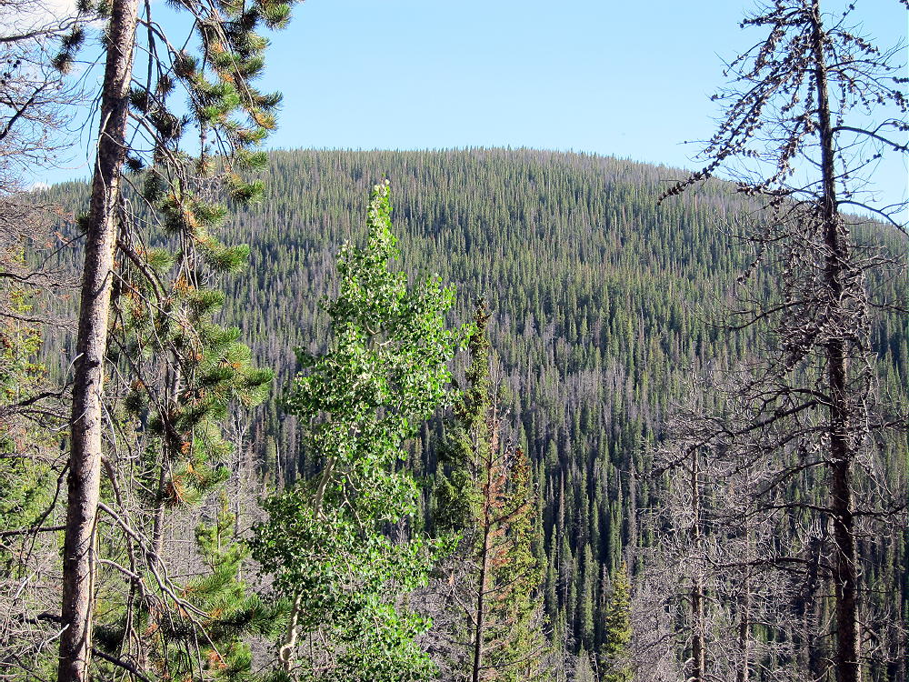
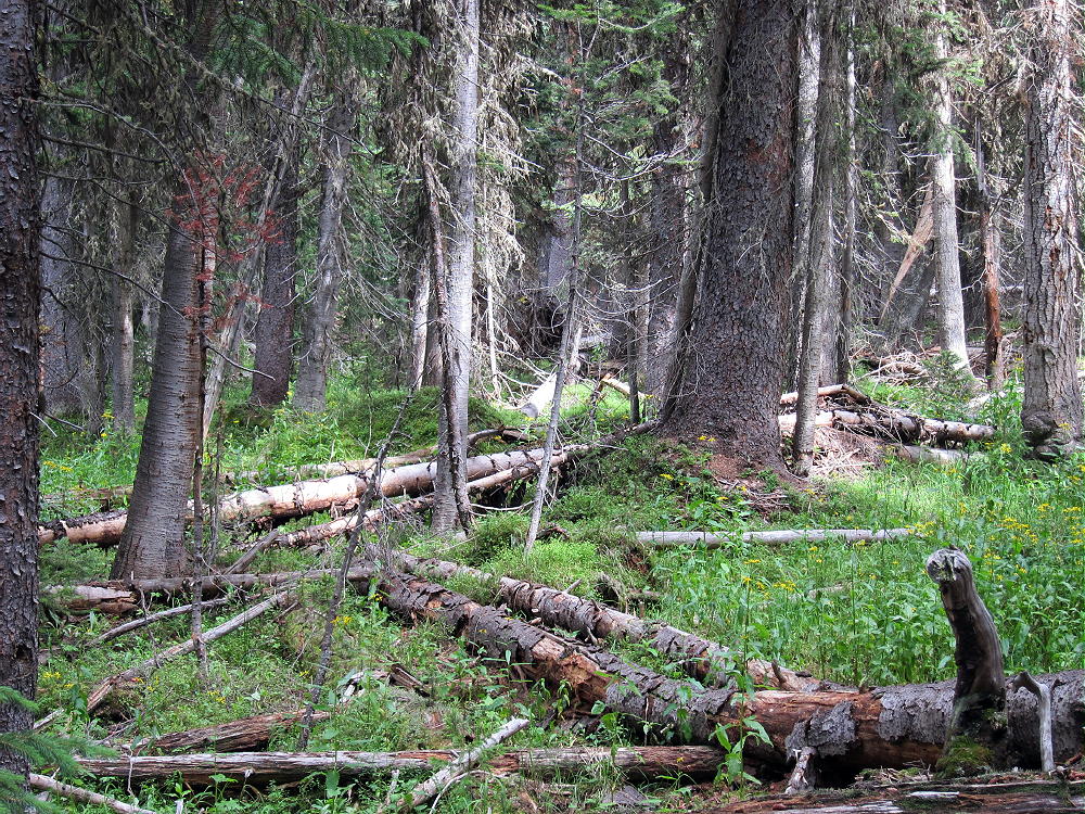
There is no trail to the top of Gray Jay, but a little-used, un-maintained trail runs to Long Meadows, about 1/2 mile east of the summit. The off-trail hike to the summit is a classic bushwhack trip through a swampy sub-alpine forest full of downed trees and slippery logs. Please do not attempt this trip, unless you actually enjoy this kind of travel, and only if you have enough navigation experience to do this right. The area around Gray Jay is wilderness, and the penalty for error might be extreme.
To reach the trail-head, drive to Estes Park, continue into the Park, drive over Trail Ridge Road, and descend into the Colorado River drainage on the west side of the Park. Continue south for about 1.5 miles from the last switchback, and park at the marked Timber Creek trail-head.
The trail starts at 9050 feet and leads south, gradually ascending the west side of Jackstraw Mountain. The route is steep from 9200 to 10,000 feet, and then it moderates. Unfortunately there is a huge mudslide at about 9900 feet, and a tricky detour is required to climb above the head of the slide and back down to the trail. There are strict warning signs; crossing the slide is virtually impossible, because it is a dense 3-D matrix of interlocked trees and branches. Getting around the slide is the hardest part of the hike – hopefully the trail will be restored in 2015.
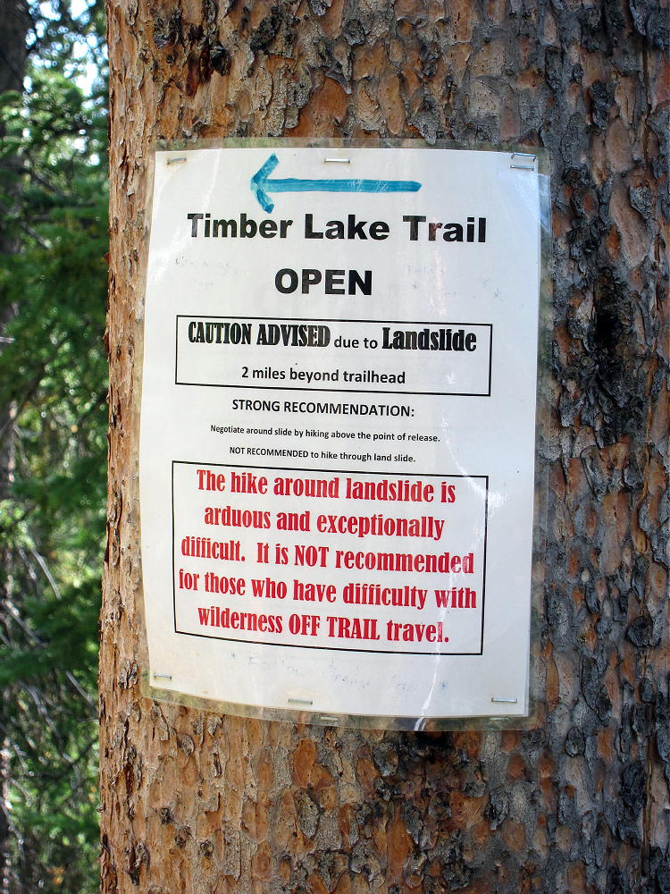
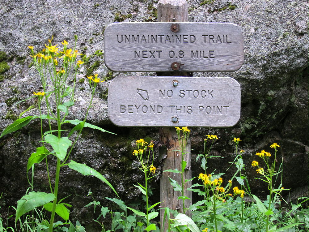
To climb Gray Jay, follow the Timber Creek Trail west past the mudslide, continue up to about 10,200 feet. Keep an eye out for a sign and a trail heading right (south). Other than the main trail up to Timber Lake, there is only one trail that splits off and crosses Timber Creek. You must find and follow the trail that goes to Long Meadows and eventually leads into the Onahu Creek area. Note that the Long Meadows trail is incorrectly located on the USGS maps, Google Maps, National Geographic-Trails Illustrated, and my Garmin GPS map – those maps show the trail junction and creek crossing place at about 10,600 feet, but my GPS track puts this spot near 10,200 feet. Perhaps the trail has been re-located. This junction was clearly marked in 2014.

After the creek crossing – there was a bridge in 2014 – the trail heads southwest and ascends up the slope to the broad saddle at the head of Long Meadows. In 2014 this trail was un-maintained and had several large downed trees across it. “Long Meadows” is an understatement – this incredible, lush, sub-alpine swamp is almost two miles long. Look for elk, moose, and other animals.
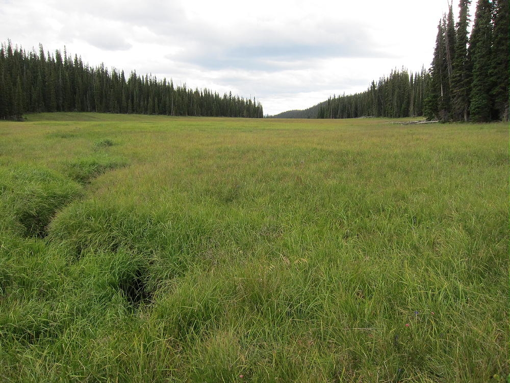
At the saddle, the trail heads south and initially leads along the east side of Long Meadows before disappearing. Gray Jay is the broad, forested summit west of this saddle. To climb Gray Jay, do not head into Long Meadows, but cross the north part of the saddle, head west through the boggy fallen-down forest, and aim for the northeast side of Gray Jay. Avoid the steep east side of the mountain. This is all easier said than done. You may find a game trail that leads right to the top, as I did. The elk know their territory, so use their trails, if they go in the right direction.


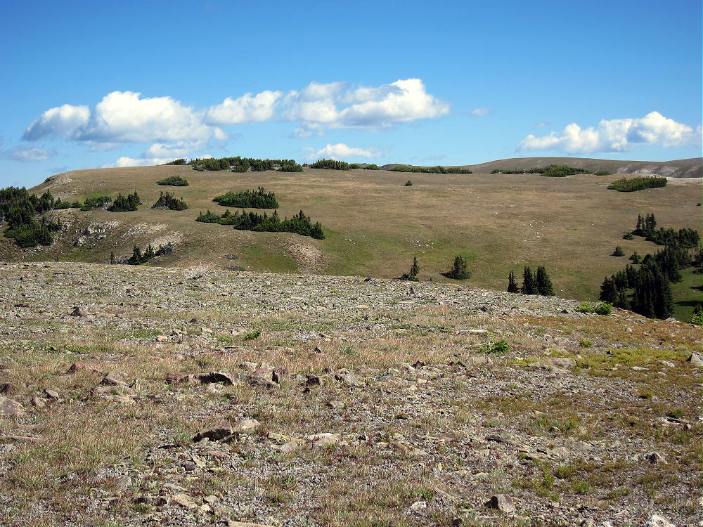
Above 10,600 feet on the northeast side, the climb gets progressively easier – the forest opens up, the slope is less steep, and the route is pleasant. Kinnikinnick covers the forest floor, and you can see where you’re going. The broad summit is easy to find, and it’s bright and pleasant, unlike the route below.
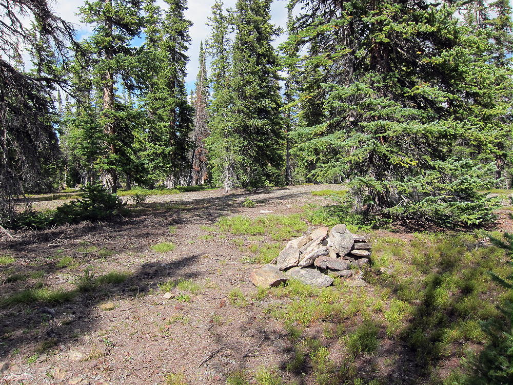
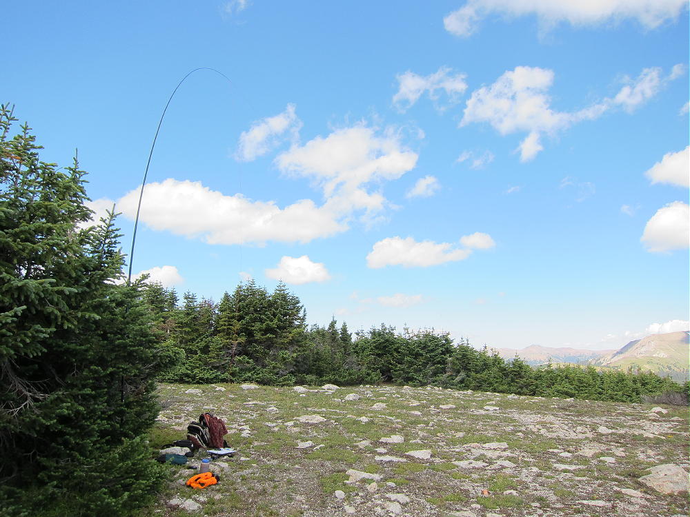
The top of Gray Jay has a large activation zone, with tall trees and plenty of open space for an antenna. There is a pile of rocks near the top, but there are few outcrops and no cliffs. Either take an antenna pole, or bring what you need to hang a wire in a tree. This is an excellent wilderness RF site, quiet and fine for HF, but probably not so good for VHF/UHF, due to the surrounding mountains blocking signals from many directions.
Be sure to return back to the Long Meadows saddle and the trail that descends to Timber Creek. Don’t even think of shortcuts or alternate routes! Some of the slopes below are very steep, covered in heavy timber, with numerous fallen trees and other problems.
The round-trip from Timber Lake Trailhead to Gray Jay is about 10 miles, with about 1900 vertical feet of gain – perhaps 2100 vertical feet with the detour around the mudslide.
Weather and time permitting, Gray Jay can be combined with nearby Jackstraw Mountain, for a challenging dual activation. I did this when I was there, and it worked out OK. See the report on Jackstraw for the rest of the story.
73
George Carey Fuller
KX0R
 !! WARNING !! There are old mountaineers, and
bold mountaineers… there are no old-bold mountaineers.
Hiking and mountain climbing are potentially hazardous activities particularly in Colorado with its extreme elevations. I am not accepting responsibility for any death or injury resulting from activations based on my trip reports. Proper training, experience, and personal capability assessment is required – enjoy!
!! WARNING !! There are old mountaineers, and
bold mountaineers… there are no old-bold mountaineers.
Hiking and mountain climbing are potentially hazardous activities particularly in Colorado with its extreme elevations. I am not accepting responsibility for any death or injury resulting from activations based on my trip reports. Proper training, experience, and personal capability assessment is required – enjoy!