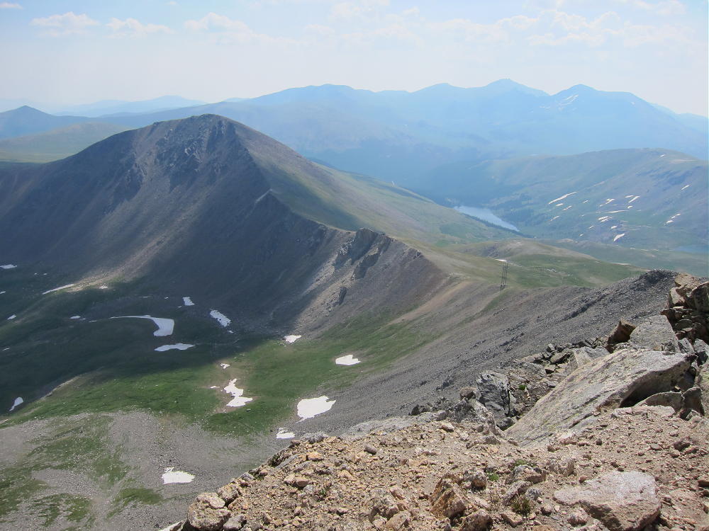
W0C/SP-050
Geneva Mountain
3752 m / 12335 ft
Oct 19, 2014 First Activation
By KX0R
Activating Geneva Mountain for the first time was one my SOTA high points for 2014. Although it’s relatively high and exposed, I had the good fortune to climb it during a period of Indian Summer, on a calm, sunny day. I was up there for hours, and I had it all to myself.
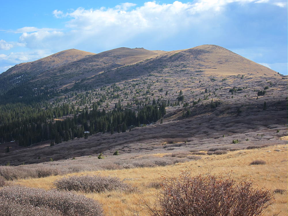
To reach the trailhead, drive up I-70 to Georgetown, exit, and follow the signs to Guanella Pass. A fine paved highway leads steeply up to the Pass. This high road may not be open at all times due to winter conditions – check in advance if in doubt. On busy weekends in good weather, the available parking may get filled – get up there really early. Park near the road crest and find the well-marked Rosalie Trail # 603 that leads south from the parking area into the Mount Evans Wilderness.
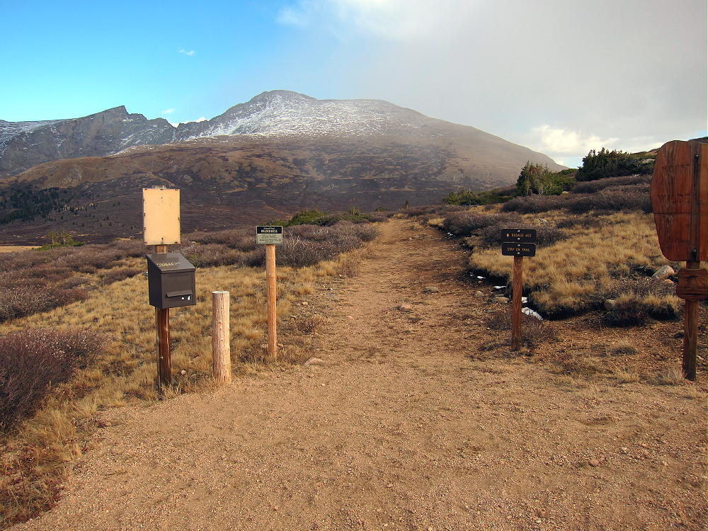
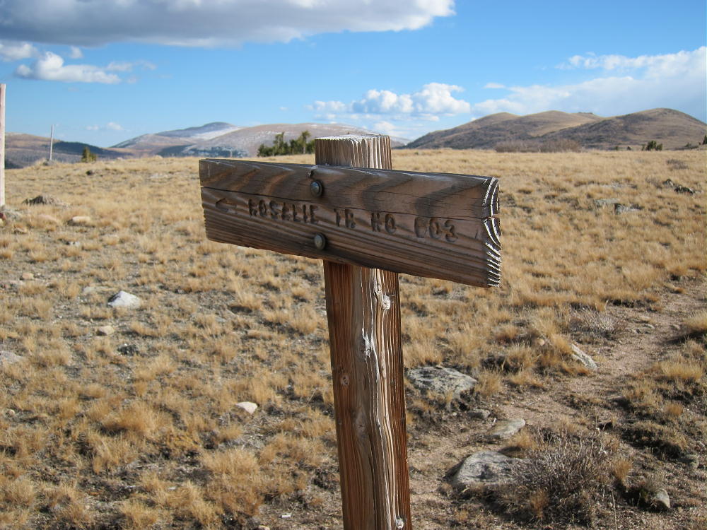
From the trail-head, contour east around a small summit for about a mile, until the trail splits at a sign; don’t follow Rosalie Trail 603 down toward Scott Gomer Creek, but take the right (west) path along an old closed road.
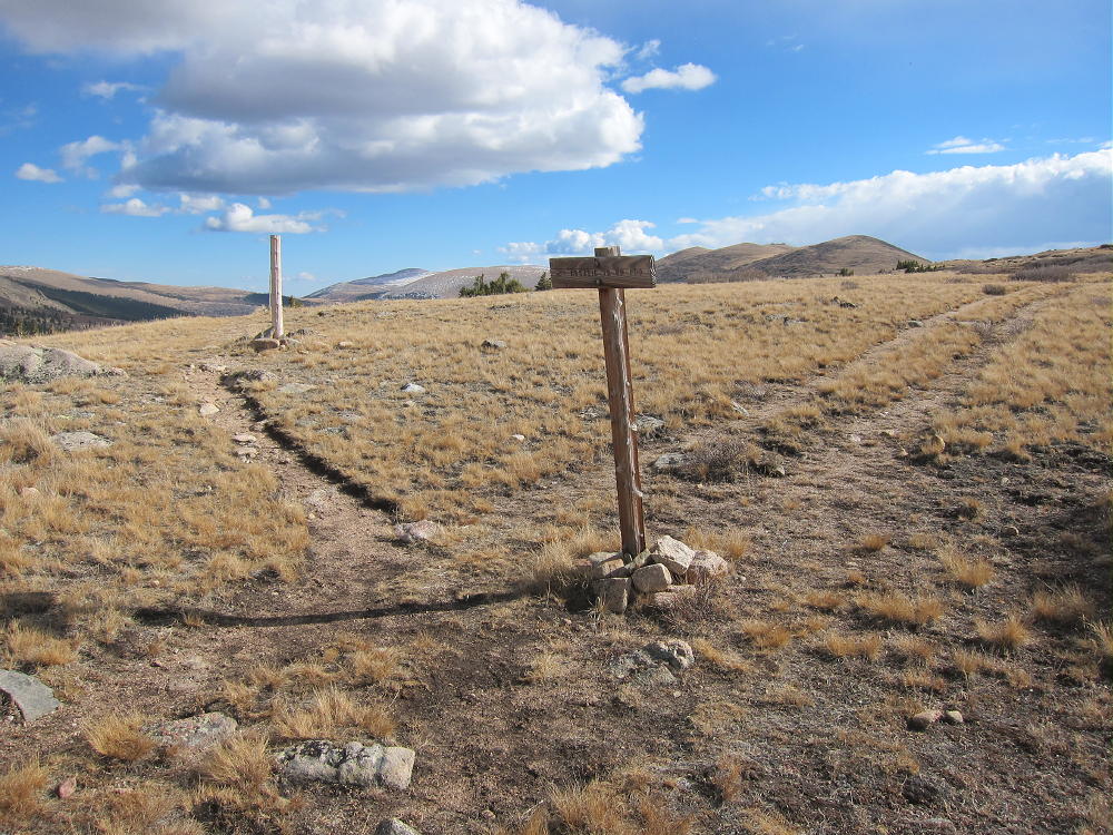
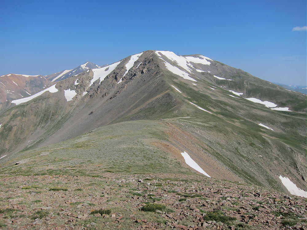
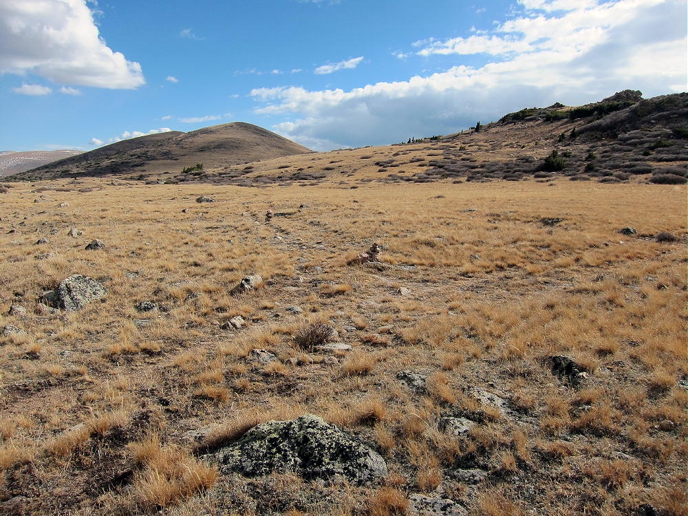
This pair of ruts efficiently follows the ridge south. In the distance three bumps are visible – Geneva Mountain is the last of the three. Follow the road almost as far as it goes along the ridge. Eventually you’ll come to a cairn marking a place where the ruts turn southwest, but a path leads south.
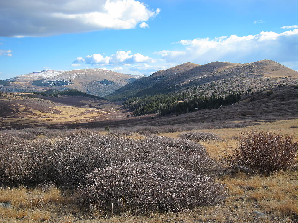
Leave the road and follow the path – first flat, and then up along the ridge. Just head for the ridge tops and follow the obvious route south across the tundra. There are hints of a trail, but most of the remaining route is in the grass and rocks. You can skirt or climb the small sub-peaks as you approach Geneva Mountain. Geneva is distinctly higher than the other bumps, so keep going until you’re really there. It’s almost 4 miles from the parking area, but it goes fast. The net vertical gain is only about 600 feet, but there’s some additional gain because of the bumps.
This is an easy alpine hike – but it’s at over 12,000 feet; don’t underestimate the weather – the entire route is above tree-line, with little shelter. It takes a long time to hike four miles south to Geneva, activate it, and hike four miles back. With a long multi-band activation, I was gone from my car for 7-3/4 hours. It takes at least two hours to hike each way.
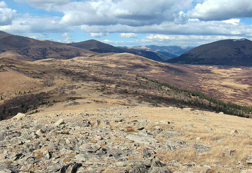
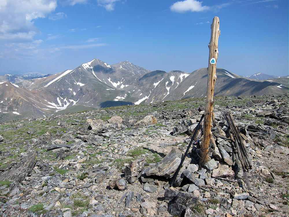
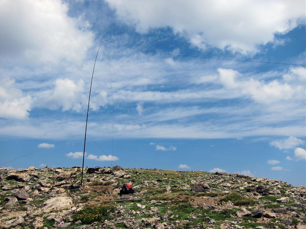
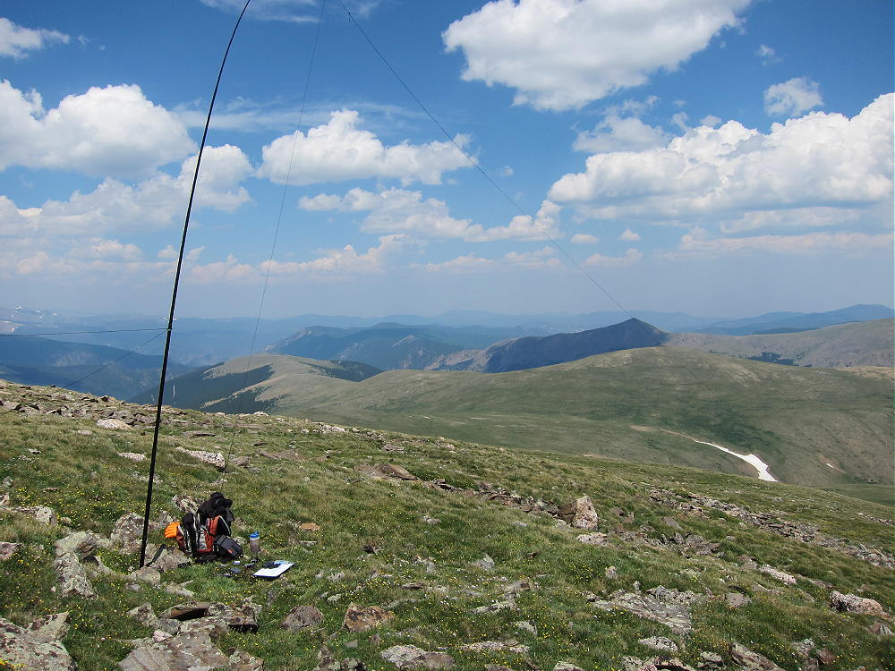
I thought I didn’t have to worry about hunters at such a high altitude, but I was wrong – I saw two parties dressed in bright orange and scouting the ridges. Fortunately they didn’t climb Geneva, and I had the mountain to myself the entire time. The summit is a small rock outcrop, and there is little protection from wind. With only a light breeze, I was able to set up next to the top. Bring a pole, and be prepared for conditions. I was able to run my 67-foot wire out from the pole with a 150-foot cord to the northern sub-peak, to give it some extra height – it looked nice flying up there along that high ridge!
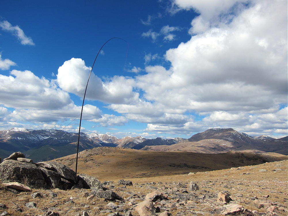
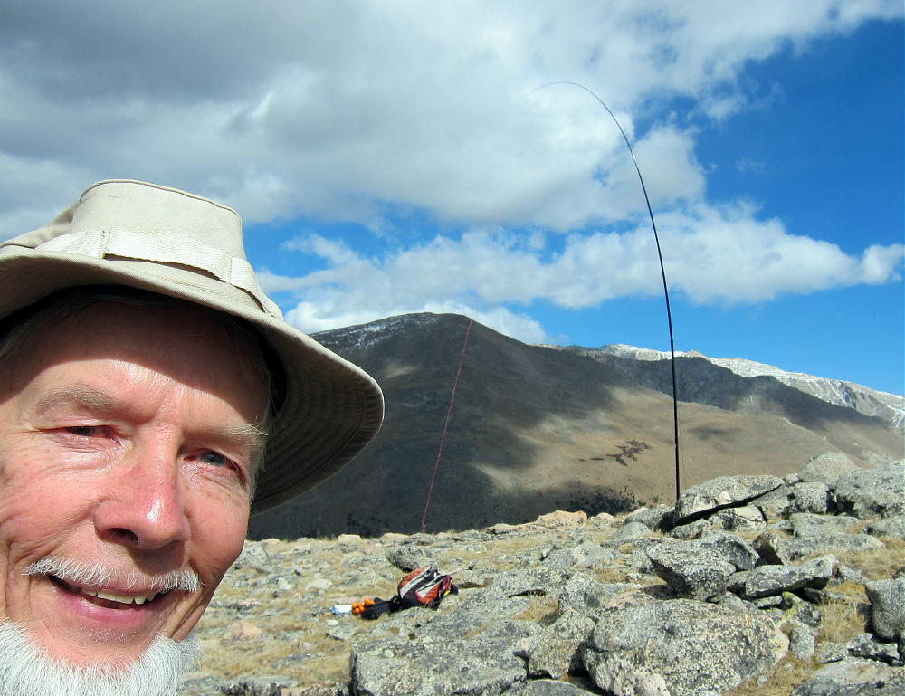
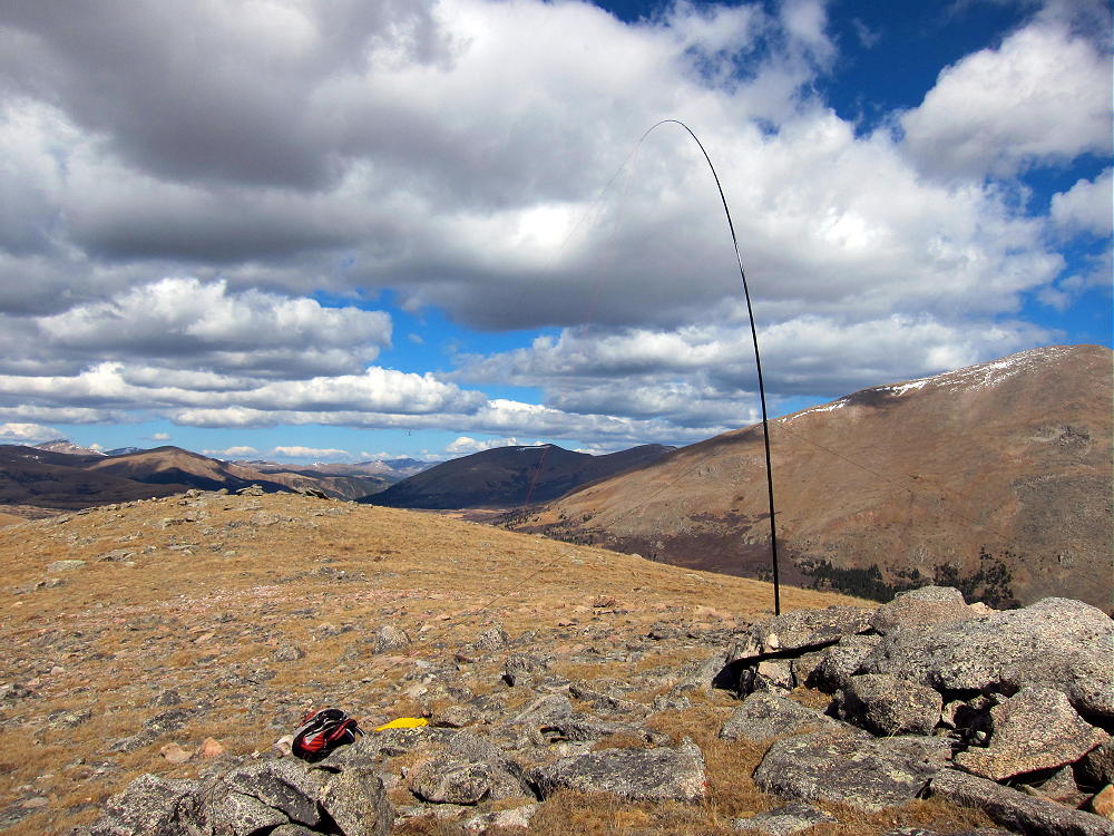
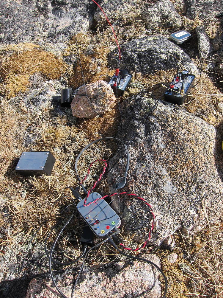
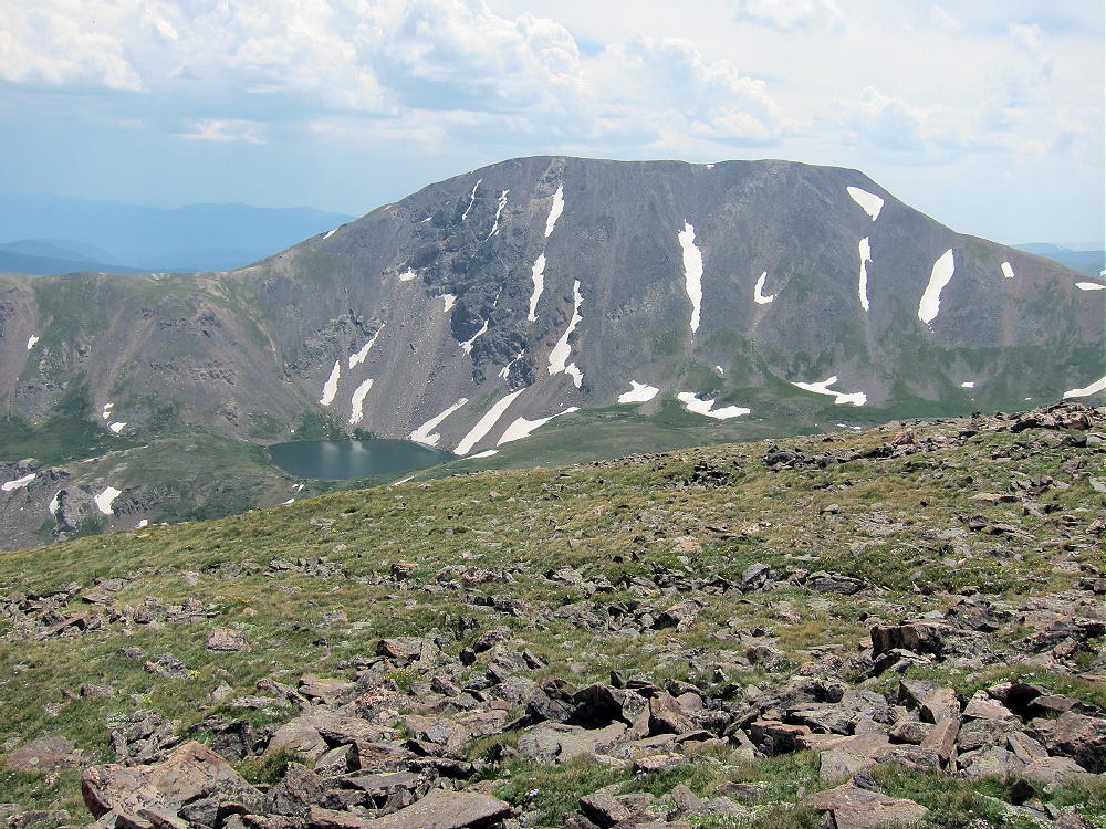
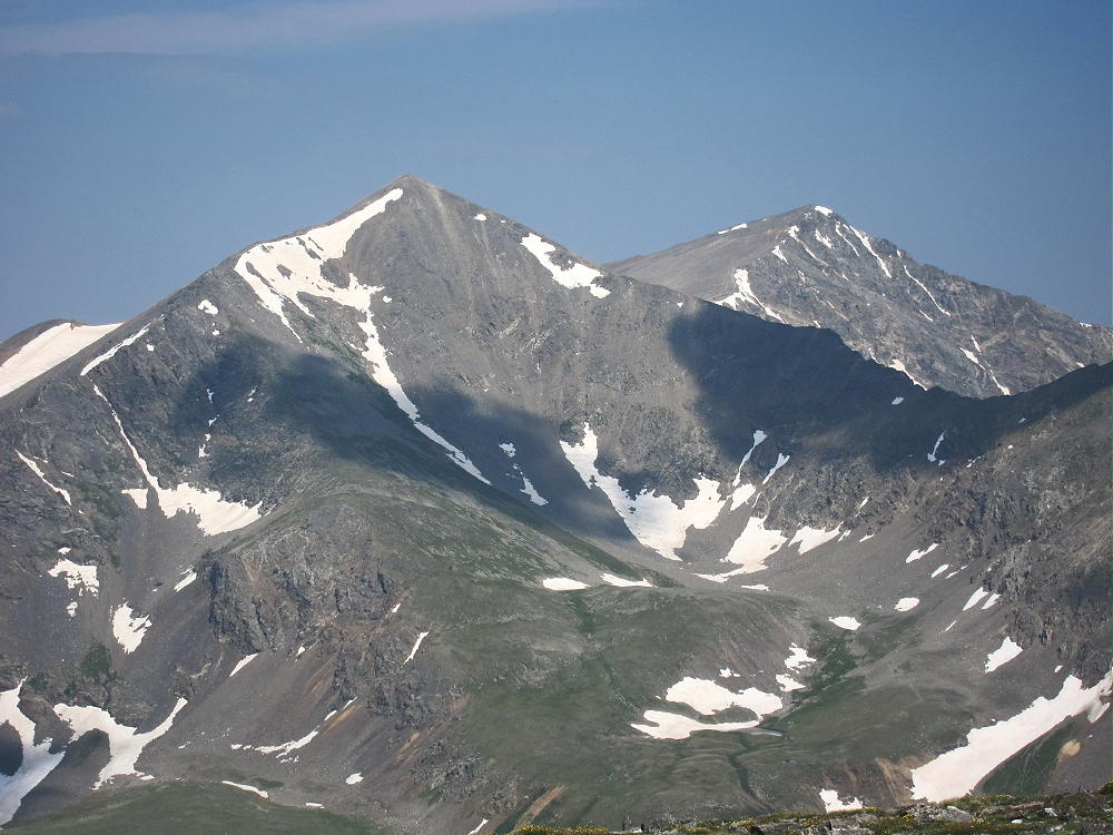
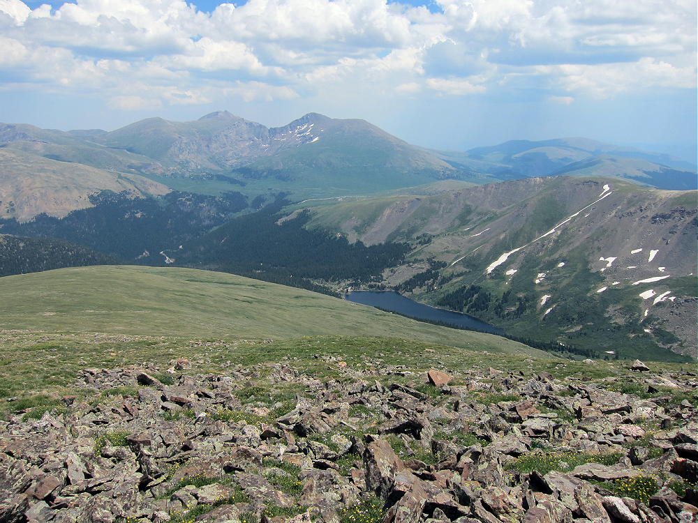
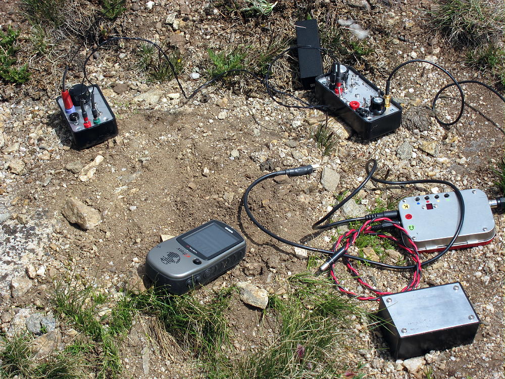
One of the big questions I had as I climbed this summit was “who can I work from this spot?” Even though the mountain towers above the drainages below, it’s dwarfed by 14,000 foot Square Top Mountain, Mount Bierstadt, Mount Evans, and Rosalie Peak, which block low-angle signals to the north and east. The paths west and south are better, but there are higher mountains in most directions. Just for kicks I started out on 21.063 MHz CW, not expecting any miracles. Immediately I was working all around the country, going right over the huge 14-ers to the east. Then I got EA2LU, DJ5AV, EA2IF, as well as many other eastern US stations. With the high solar flux, plus the big horizontal end-fed wire correctly oriented, the high angle path did the trick! On 14 Mhz signals were strong in all directions – it was an outstanding activation! On 40M I worked John, N0TA, 599-579 in Louisville, and that was totally off the sky NVIS! Then I worked several stations on 30M, including Frank, K0JQZ near Colorado Springs – not sure if that was NVIS or more direct. I went back to 20M and made a couple of S2S contacts, plus a whole bunch of other guys, including OK2PDT and CU3AA. It actually was one of my best activations! There were 53 contacts, and I was on the air for over 2 hours. It proved one more time that a low wave angle and power are not required to work DX.
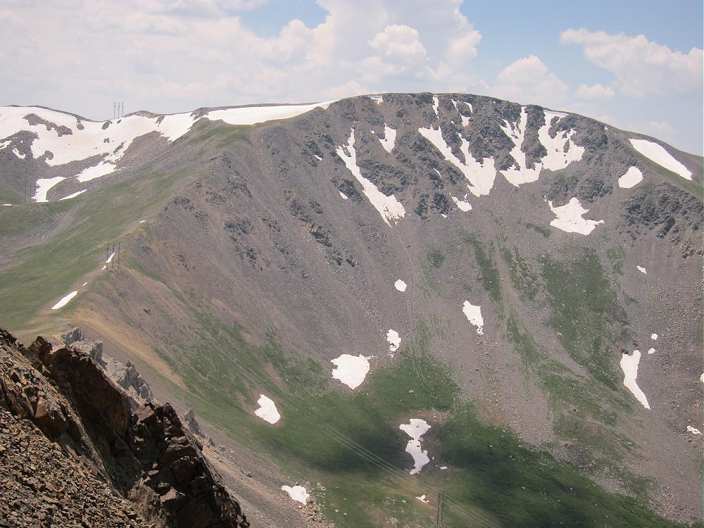
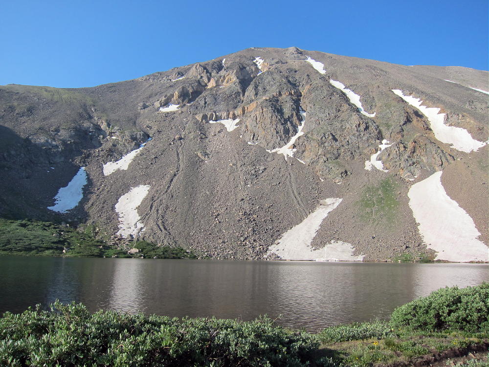
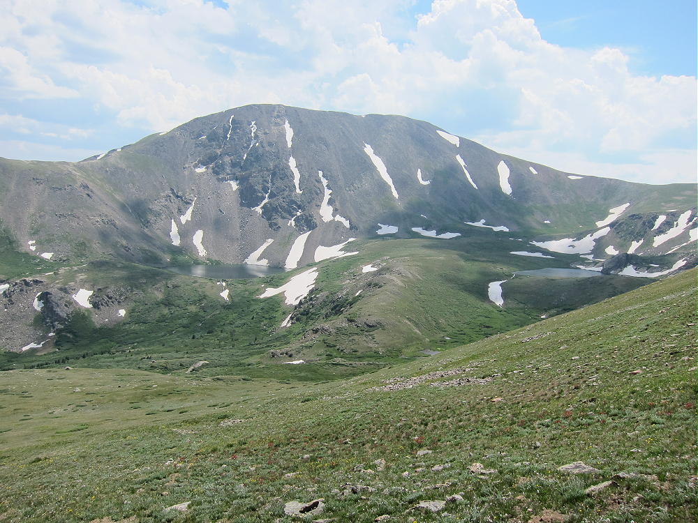
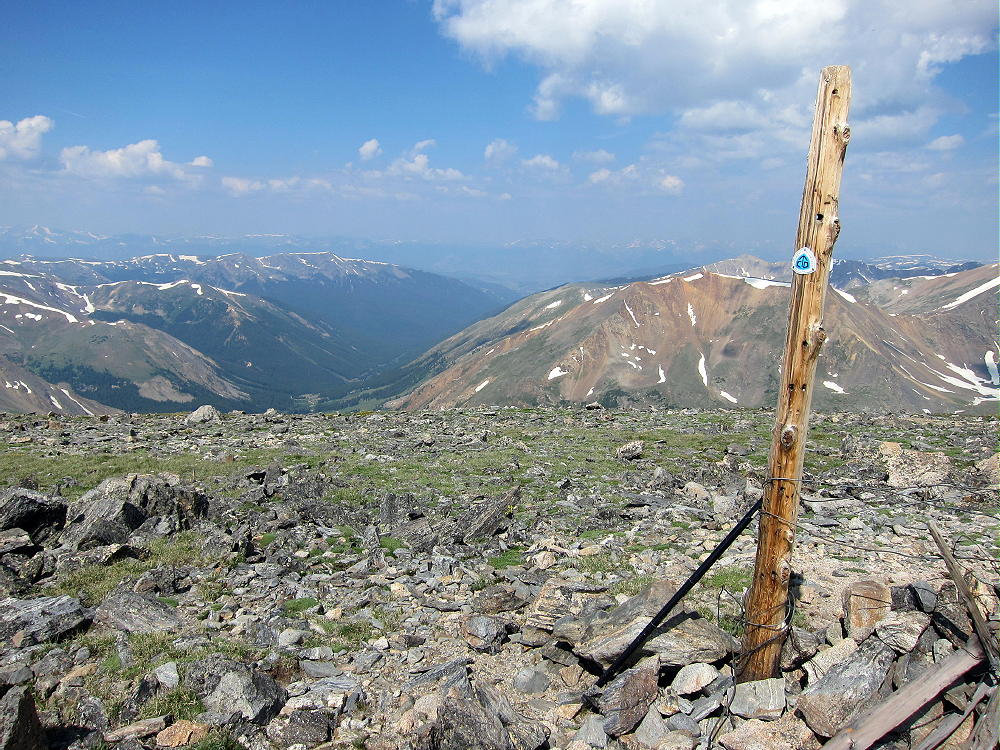
This is a spectacular place to activate – surrounded by snowy higher peaks, away from cars and development, and well inside the Mount Evans Wilderness. The air is thin, the noise level is very low, and Geneva Mountain was a big surprise to me after many high activations. I would never have gone there, were it not for SOTA.
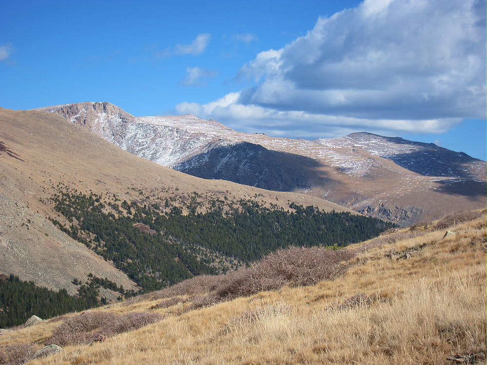
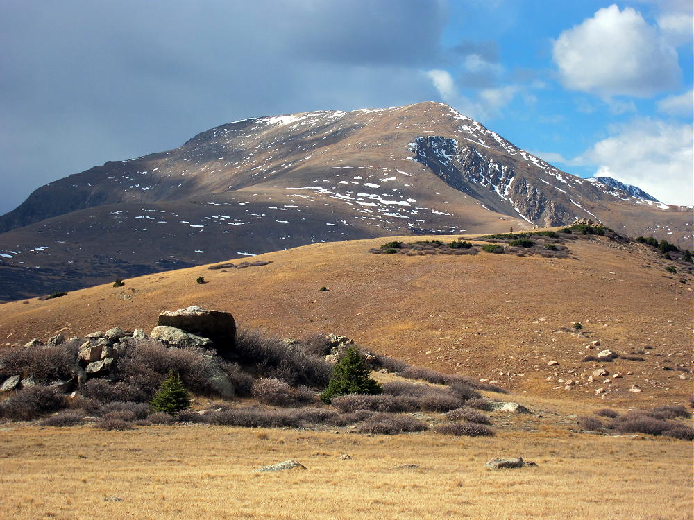
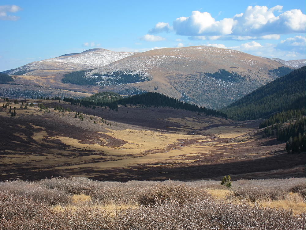
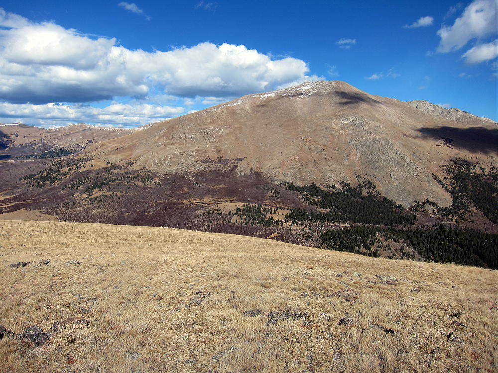
Check it out – on a good day, Geneva Mountain is a SOTA Classic!
KX0R
George Carey Fuller
 !! WARNING !! There are old mountaineers, and
bold mountaineers… there are no old-bold mountaineers.
Hiking and mountain climbing are potentially hazardous activities particularly in Colorado with its extreme elevations. I am not accepting responsibility for any death or injury resulting from activations based on my trip reports. Proper training, experience, and personal capability assessment is required – enjoy!
!! WARNING !! There are old mountaineers, and
bold mountaineers… there are no old-bold mountaineers.
Hiking and mountain climbing are potentially hazardous activities particularly in Colorado with its extreme elevations. I am not accepting responsibility for any death or injury resulting from activations based on my trip reports. Proper training, experience, and personal capability assessment is required – enjoy!