W0C/SP-046
Volz Benchmark
3837 m / 12589 ft
First Activation
Aug 15, 2016
By KX0R
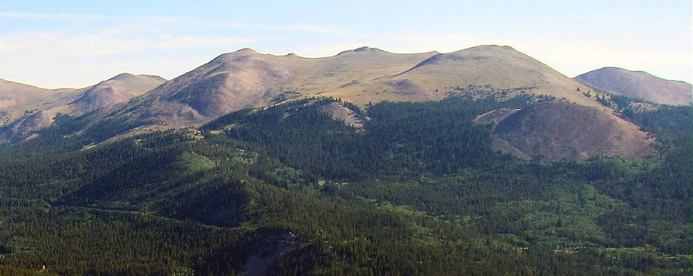
Volz Benchmark is a moderately challenging alpine summit near Boreas Pass, south of Breckenridge.
• Pike National Forest
• High altitude hike
• No marked trail to the summit
• Route-finding required
• Fine alpine scenery
• Excellent HF site
• ~3.1 miles round-trip
• ~1650 vertical feet total
Driving Directions:
• Drive west on Highway 285 and cross Kenosha Pass
• Continue west on Highway 285 about 11 miles
• Turn north on CR 33 and drive about ½ mile to Como
• Pass through Como and drive up CR 33 about 9 miles to Boreas Pass at 11482 feet
• The route follows a historic narrow gage rail line and continues all the way across to Breckenridge
• Boreas Pass Road CR 33 also can be reached by driving up from Breckenridge and I-70 to the north
• CR 33 is an OK unpaved road, with several rough, rocky sections, but most cars can make the trip along the railway roadbed
• Do not drive all the way up to the pass
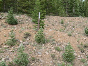
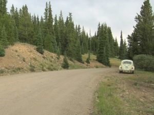
• Park at Selkirk Gulch, at 10,960 feet, where the road takes a broad bend to the left as it goes across a small creek.
• This spot is about 1 mile north of the marked left turn, northwest, where FR-801 goes down to Selkirk Campground.
• This is the “trailhead”
The hike and climb:
• Google Maps shows none of the hiking trails near Boreas Pass
• GPS is very useful in this area
• The hike begins on the south side of Selkirk Creek.
• An old closed road runs northeast up the creek to a large meadow at almost 11,200 feet.
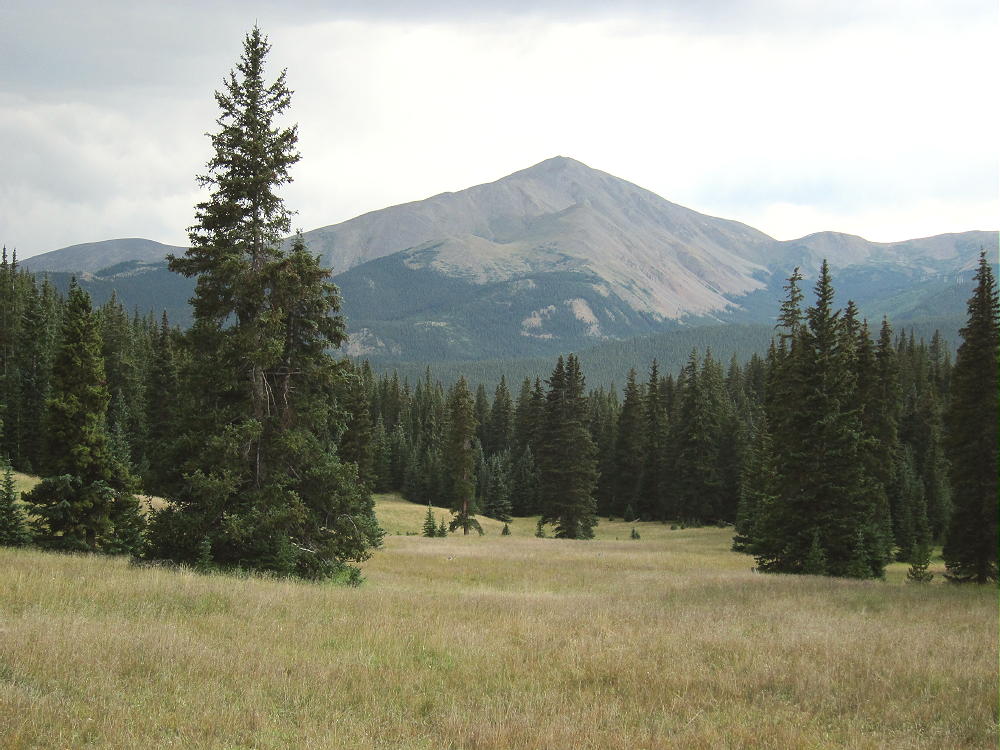
• Continue hiking up the steep valley that ascends east from the upper part of the meadow. Don’t follow the north drainage.
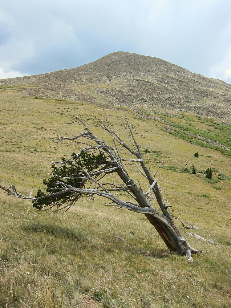
• A good game trail leads all the way up the valley to a high saddle at almost 12,000 feet.
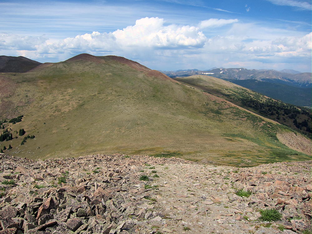
• From the saddle, hike south up the broad ridge for about ½ mile, following the easiest route available, up to a saddle at about 12,450 feet.
• The rocky northwest peak is Volz Benchmark.
• The southeast peak is a slightly lower sub-peak.
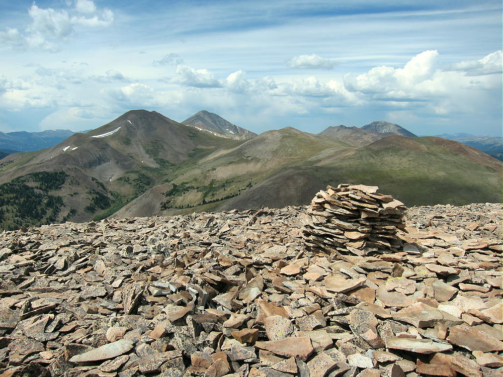
• Climb up a rough path through the talus to the rocky top of Volz
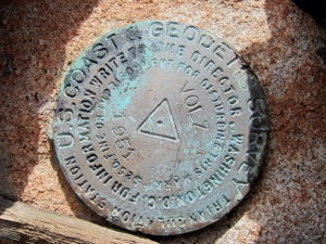
• A USCGS benchmark from 1951 marks the summit – it says “VOLZ”.
Additional Details:
Few people visit this prominent, pleasant peak. A large cairn is near the summit, and a tiny wind shelter is available nearby; a register container is there. I guyed my pole to some rocks and set up my SOTA radio gear in the lee of the wind shelter. Some dark clouds were developing, so I couldn’t stay on too long, but I made 24 CW contacts on three HF bands.
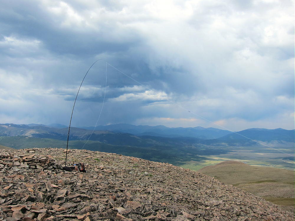
Volz is a fine HF summit. It falls away in all directions, and the noise level is very low. Almost no development is visible nearby. This peak is likely a fair VHF/UHF summit, with coverage across much of South Park.
The summit offers great views of several higher peaks and parts of South Park below. Boreas Mountain stands about 2 miles to the north, and Bald Mountain stands much higher behind it.
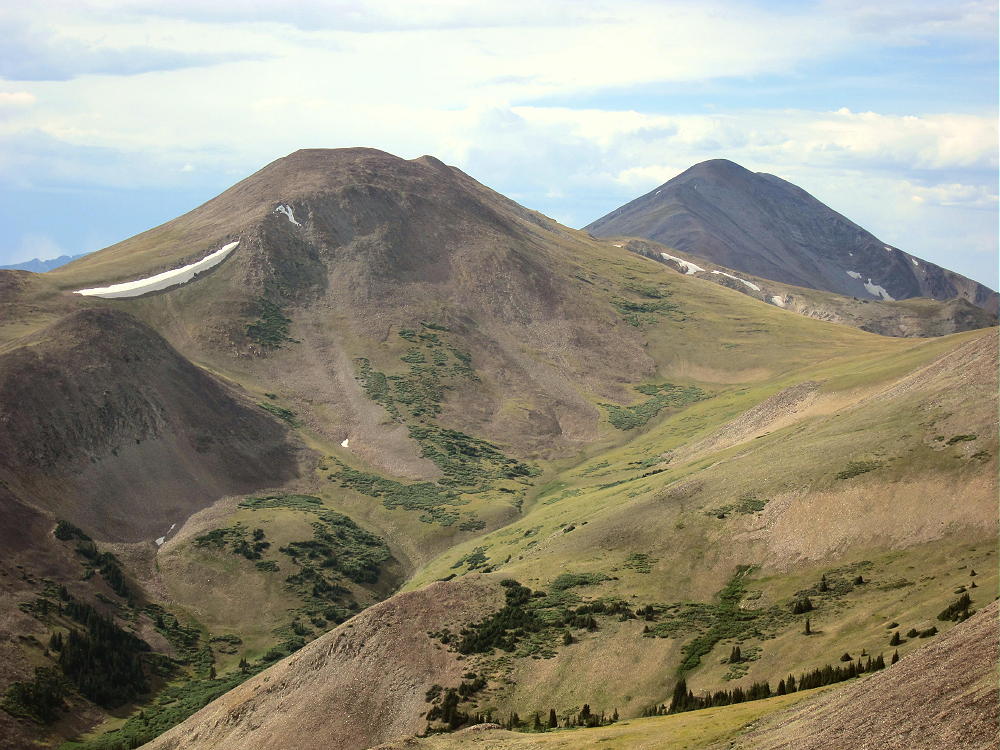
The top of Mount Guyot looms across a high ridge east of Bald Mountain in the north. The views of the high Divide to the southwest are nice – Red Peak, Hoosier Ridge, and huge Mount Silverheels. Volz’s sub-peak stands nearby across the saddle, and it appears to have a cairn on top.
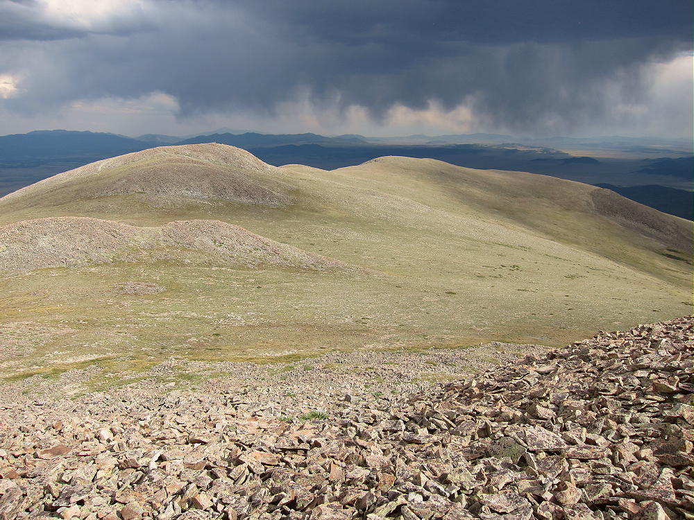
Clearly there’s a decent route from CR 33 up the drainage on the southwest side of Volz. The “trailhead” for that route is about ¼ mile down the road from Selkirk Creek. It might be a better route for early in the year – more on the sunny side.
For a dual activation, consider these nearby summits:
Madonna Dome W0C/SP-051 – Easy – TH at Boreas Pass
Boreas Mountain W0C/SP-030 – Challenging – TH at Boreas Pass
Little Baldy Mountain W0C/SP-054 – Challenging – south several miles
Bald Mountain W0C/PR-019 – Very challenging – TH at Boreas Pass
I climbed and activated Volz after doing Little Baldy, and it was a full, very fun day!
73
George
KX0R
 !! WARNING !! There are old mountaineers, and
bold mountaineers… there are no old-bold mountaineers.
Hiking and mountain climbing are potentially hazardous activities particularly in Colorado with its extreme elevations. I am not accepting responsibility for any death or injury resulting from activations based on my trip reports. Proper training, experience, and personal capability assessment is required – enjoy!
!! WARNING !! There are old mountaineers, and
bold mountaineers… there are no old-bold mountaineers.
Hiking and mountain climbing are potentially hazardous activities particularly in Colorado with its extreme elevations. I am not accepting responsibility for any death or injury resulting from activations based on my trip reports. Proper training, experience, and personal capability assessment is required – enjoy!