W0C/SR-054 (Tremont Mountain) 3160M / 10388 ft
Sep 7, 2013 First Activation
Tremont Mountain is conveniently located near Gap Road in beautiful Golden Gate Canyon State Park, west of Golden, Colorado. I climbed it from a designated parking spot about ½ mile east of Panorama Point, on the south side of Gap Road. A fee and pass are required to park in the State Park.
For this trip you need a topo map, compass, and good navigation skills; a GPS is helpful. The hike is moderately strenuous, but it’s only about a mile each way.
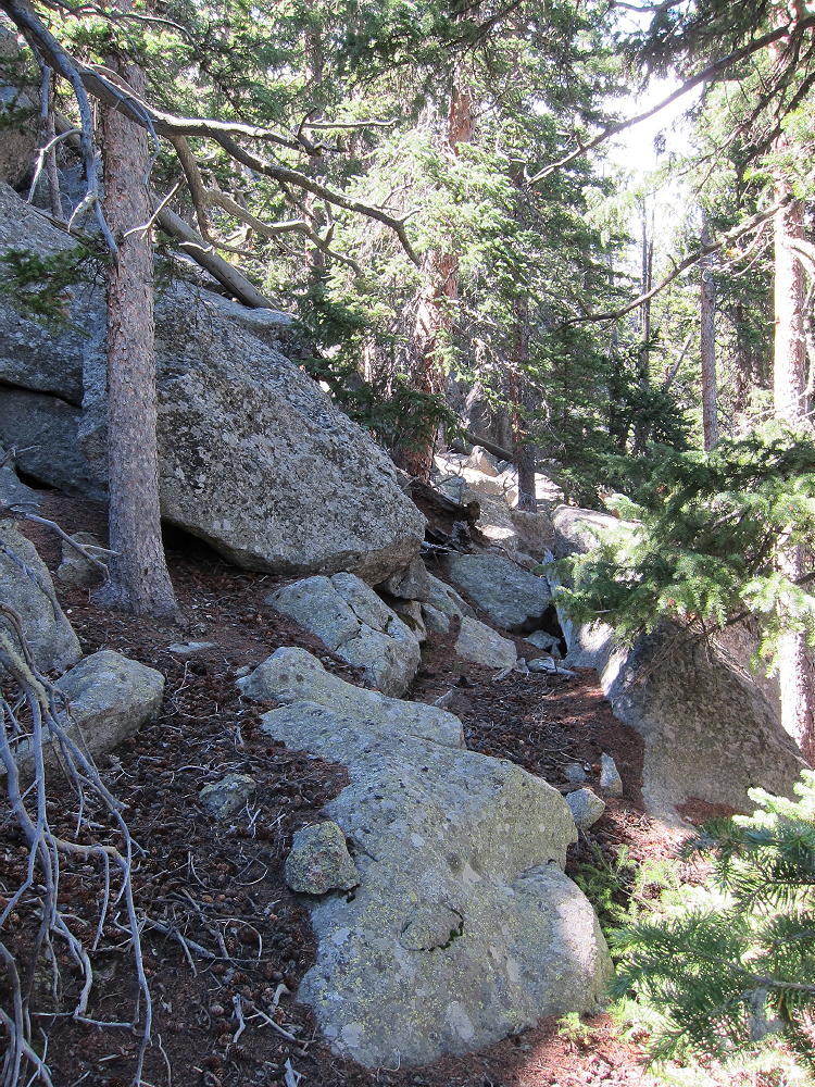
The route appears to be an off-trail bushwhack trip almost 1000 vertical feet all the way up. However, if you’re sharp, you can find old abandoned logging trails that go directly up, almost to the top. I found two of these trails.
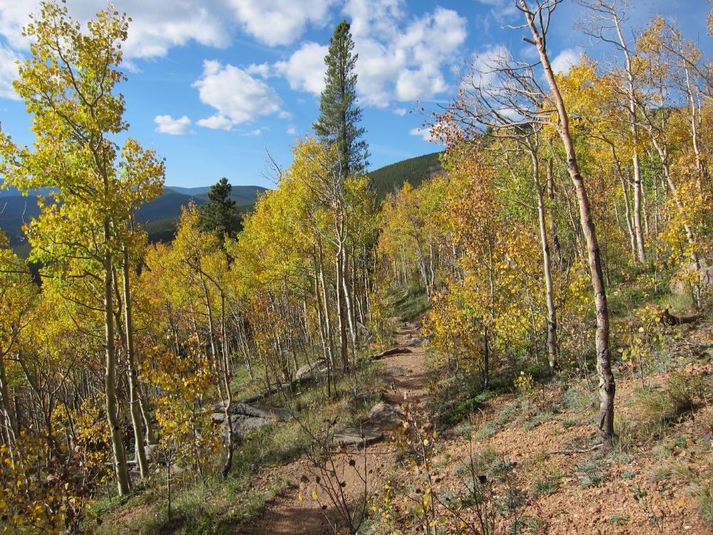
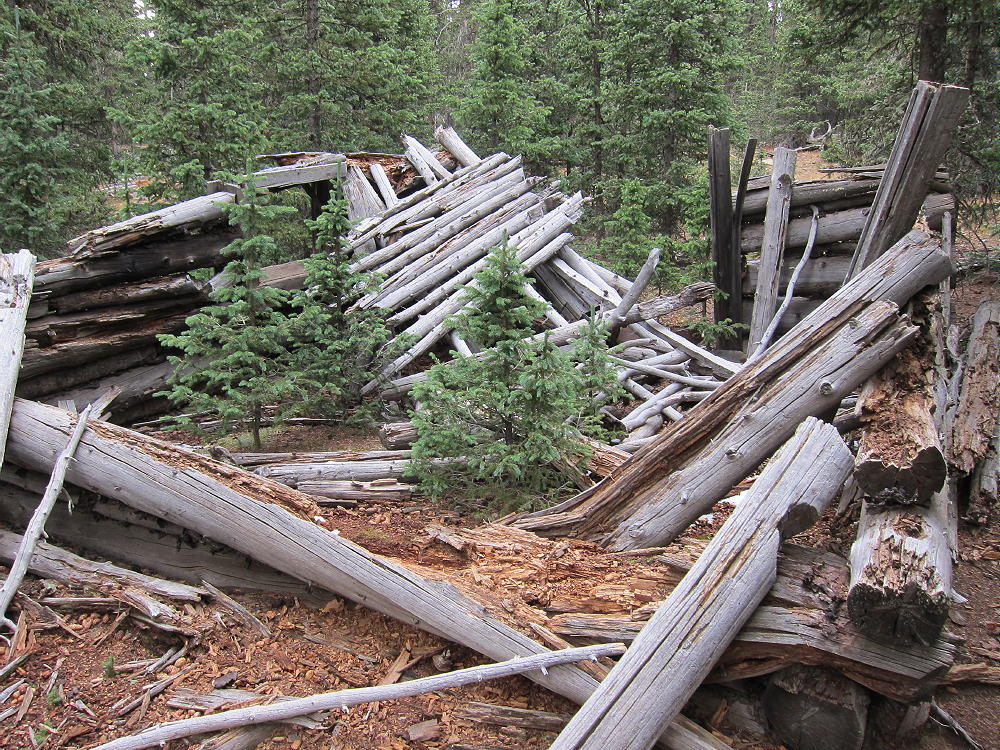
Go south from the parking spot and immediately intersect the hidden Mule Deer Trail. Hike west and climb slightly on this maintained trail about ¼ mile, and find an old trail or trails heading off uphill to the south. I found two of these unmarked trails. If the Mule Deer Trail is descending to the west, you have gone too far. The western of the two routes works pretty well – I descended that way. The route goes up directly, east of the craggy northern ridge of Tremont Mountain. These trails resemble gullies and may have been used decades ago to drag logs down from the mountain. There are old cut stumps near the summits.
Climb up the old trail, and try to stay with it through occasional thickets of new growth. There are significant trees growing in this trail – but it’s a much better route than the off-trail ascent I did through fallen trees, rocks, and bushes. The old route is an obvious game trail. Stay east of the northern ridge, until you get near the summits.
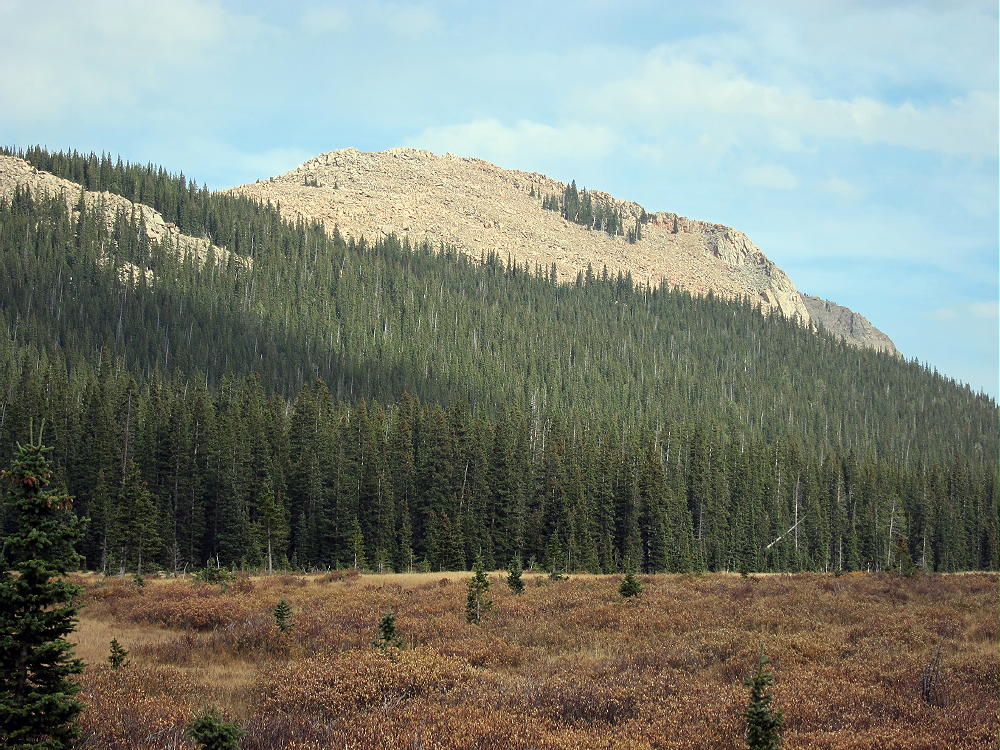
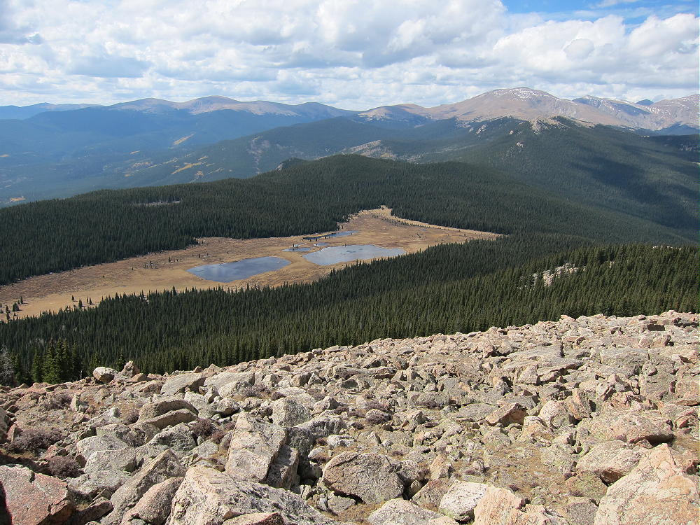
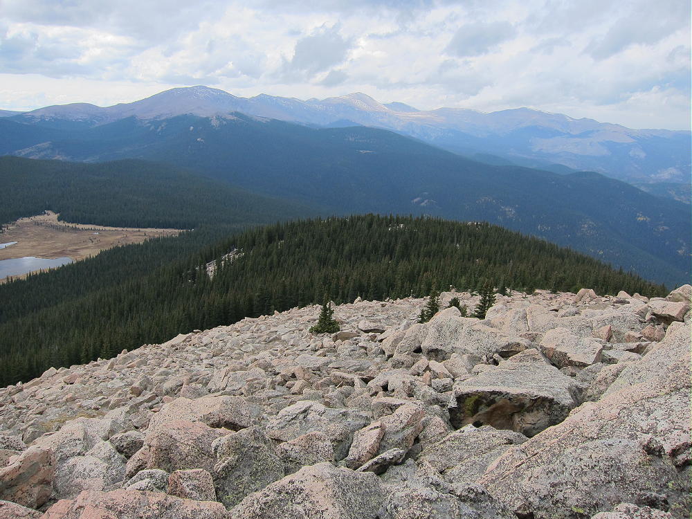
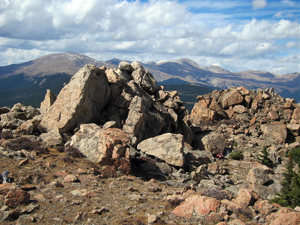
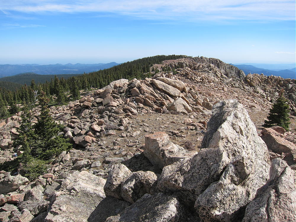
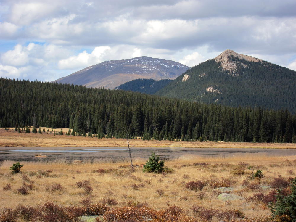
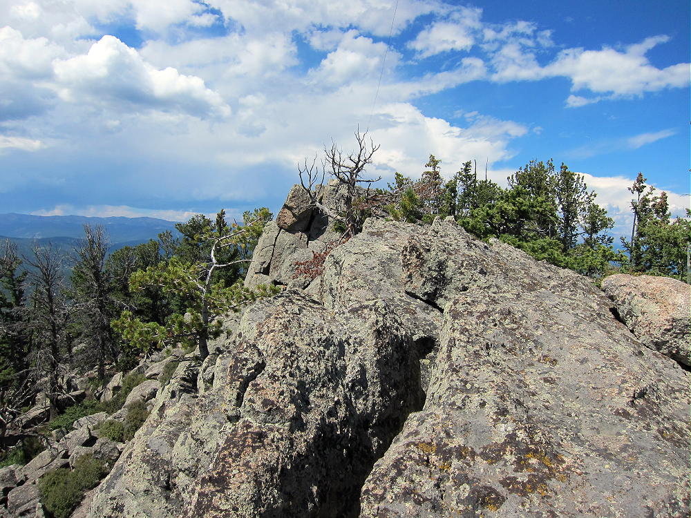
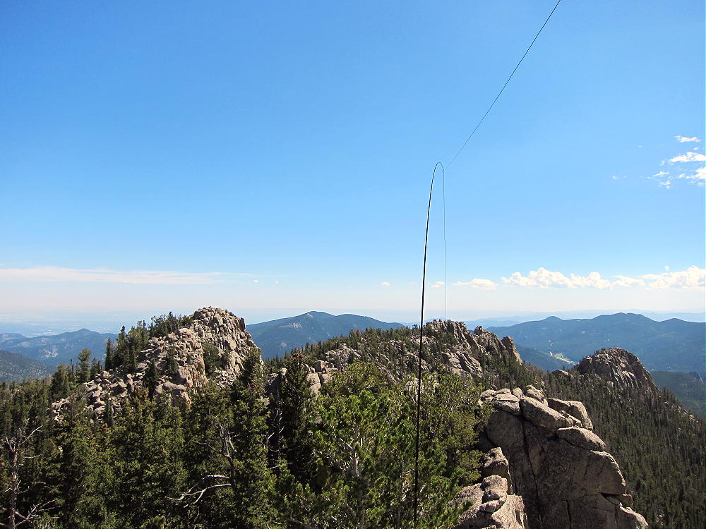
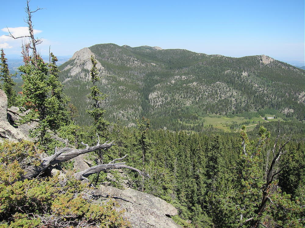
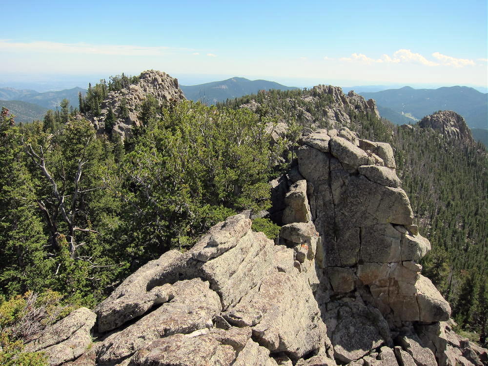
The name “Tremont” may mean “three summits”, because that’s what’s up there. The northwestern summit at 10,388 feet is the highest – but I couldn’t see through the trees, so I climbed the southeastern knob first, then the middle one, and then the northwestern summit before knowing which crag was the top. It’s easy scrambling over large rocks up the northeastern side of the northwestern summit. The actual peak is out at the northwestern end of the slightly exposed granite summit ridge. It’s a spectacular place, with views of the high Front Range peaks, Boulder and Gilpin Counties, Thorodin Mountain, Pike’s Peak, Mount Elbert, and the Eastern Plains.
Despite being included in the Sawatch Range group of SOTA peaks, Tremont is far from the Sawatch area – it’s really in the eastern Front Range.
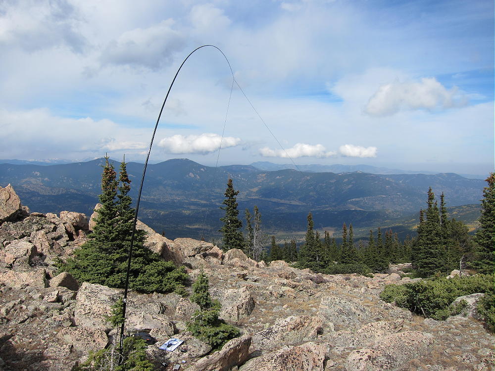
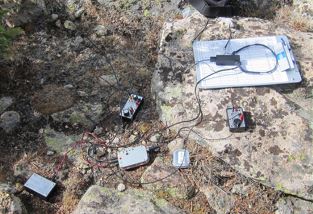
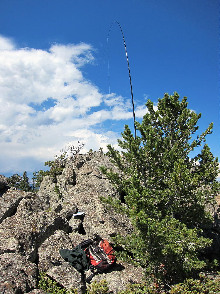
Tremont is a fine SOTA peak! There are small trees along the summit ridge, and if you bring an antenna pole, you can just stick it in a tree. Even with no pole, the trees could support a wire 6-8 feet above the granite ridge-top. I used a 66 foot end-fed wire supported by a Black Widow pole at 18 feet above the rock, with the NW end tied to a tree. I got 57 contacts of 40, 20, 17, and 15M CW. The solar flux was only 101, and I still managed to get six S2S contacts on 20M, 42 contacts on 20M, DJ5AV on 17M, and 5 contacts on 15M.
This eastern peak has nice coverage of much of the Denver Metro Area, and I made good local contacts, as well short and long skip Q’s. This is surely a great VHF/UHF peak.
Tremont is very prominent and should be avoided if there is any threat of electrical activity! It was nice while I was there, just breezy, but it’s often very windy during the colder months. There are sheltered spots near the ridge-top with some protection from the wind. Since the ascent described here is totally on the cold north side of the mountain, a winter ascent would probably require a strenuous hike on snowshoes. A much longer and stronger south-side ascent might be practical as well.
I would never have climbed Tremont were it not for SOTA, but it ranks high on my list of fun summits!
George Carey Fuller
KX0R
 !! WARNING !! There are old mountaineers, and
bold mountaineers… there are no old-bold mountaineers.
Hiking and mountain climbing are potentially hazardous activities particularly in Colorado with its extreme elevations. I am not accepting responsibility for any death or injury resulting from activations based on my trip reports. Proper training, experience, and personal capability assessment is required – enjoy!
!! WARNING !! There are old mountaineers, and
bold mountaineers… there are no old-bold mountaineers.
Hiking and mountain climbing are potentially hazardous activities particularly in Colorado with its extreme elevations. I am not accepting responsibility for any death or injury resulting from activations based on my trip reports. Proper training, experience, and personal capability assessment is required – enjoy!