SOTA outings by KØMOS and contributors

Tag: Rollins Pass

  • W0C/PR-007 (Mount Epworth) – 3610 m / 11843 ft

    W0C/PR-007
    Mount Epworth
    3610 m / 11843 ft
    First Activation
    Sep 11, 2015

    By KX0R

    Mount Epworth is a fun alpine SOTA peak less than a mile west of the Continental Divide, near Winter Park.

    Arapaho National Forest
    • Accessible summer and fall
    • Relatively easy alpine activation
    • Beautiful scenery
    • Few visitors
    • Fine HF site
    • Rocky off-trail hike up the mountain
    • Access via a rough 2WD road
    • 1.7 miles round-trip
    • 730 vertical feet, including the return trip
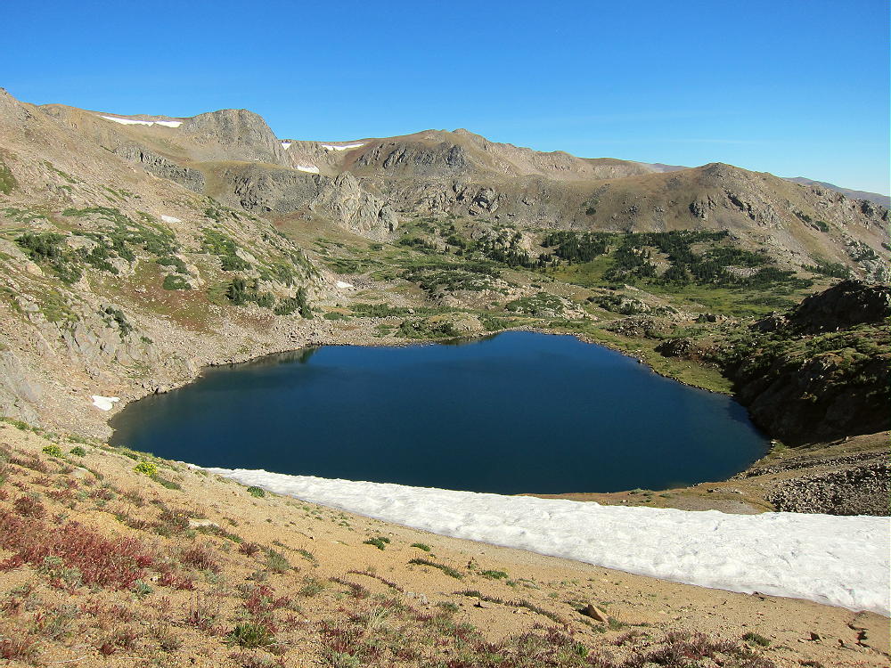
    Driving Directions:

    • Drive west from Denver on I-70
    • Turn northwest on Highway 40
    • Cross Berthoud Pass
    • Continue down Highway 40 to Winter Park
    • About 0.6 mile past Winter Park Resort, turn right, north, on Corona Pass Road 80.
    • This road also is called the Moffat Road.
    • Follow this rough, unpaved, 2WD road about 13 miles
    • The Moffat Road is passable in cars with enough clearance
    • Park along the road about 1 mile south of Rollins Pass
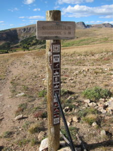
    • A small sign “Corona Lake Trail #118” marks the trail west of the road
    • This is the trailhead.

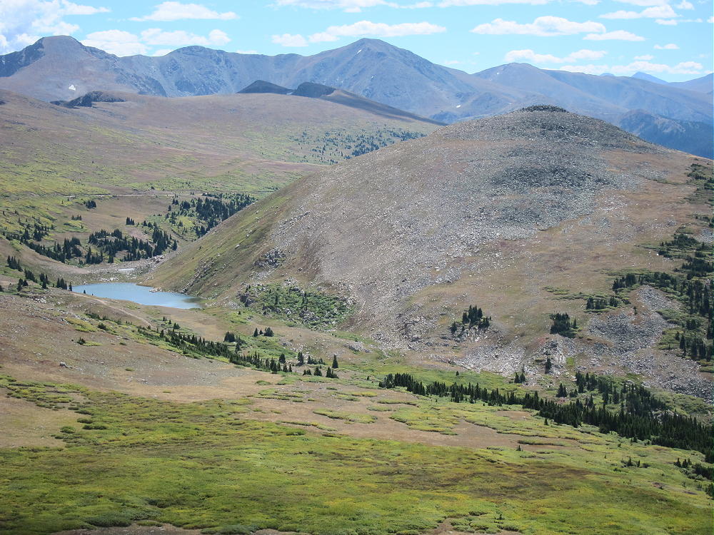
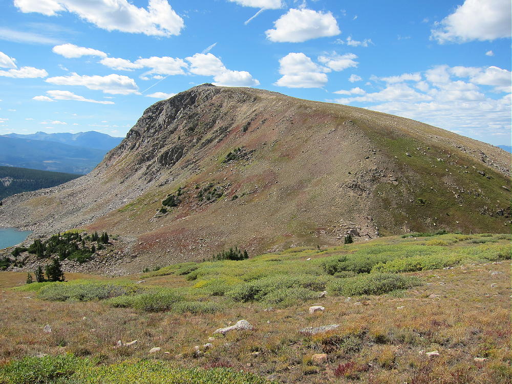
    Trail 118 leads to beautiful Corona Lake, about a mile to the north. Mount Epworth stands west across the valley from the trailhead.
    The Hike:

    • Walk down the Corona Lake Trail about 1/5 mile.
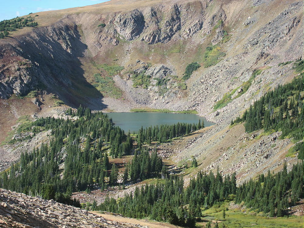
    • Look for an informal path heading down off the main trail, toward Pumphouse Lake below
    • Hike down to the north end of Pumphouse Lake
    • Cross the small outlet creek
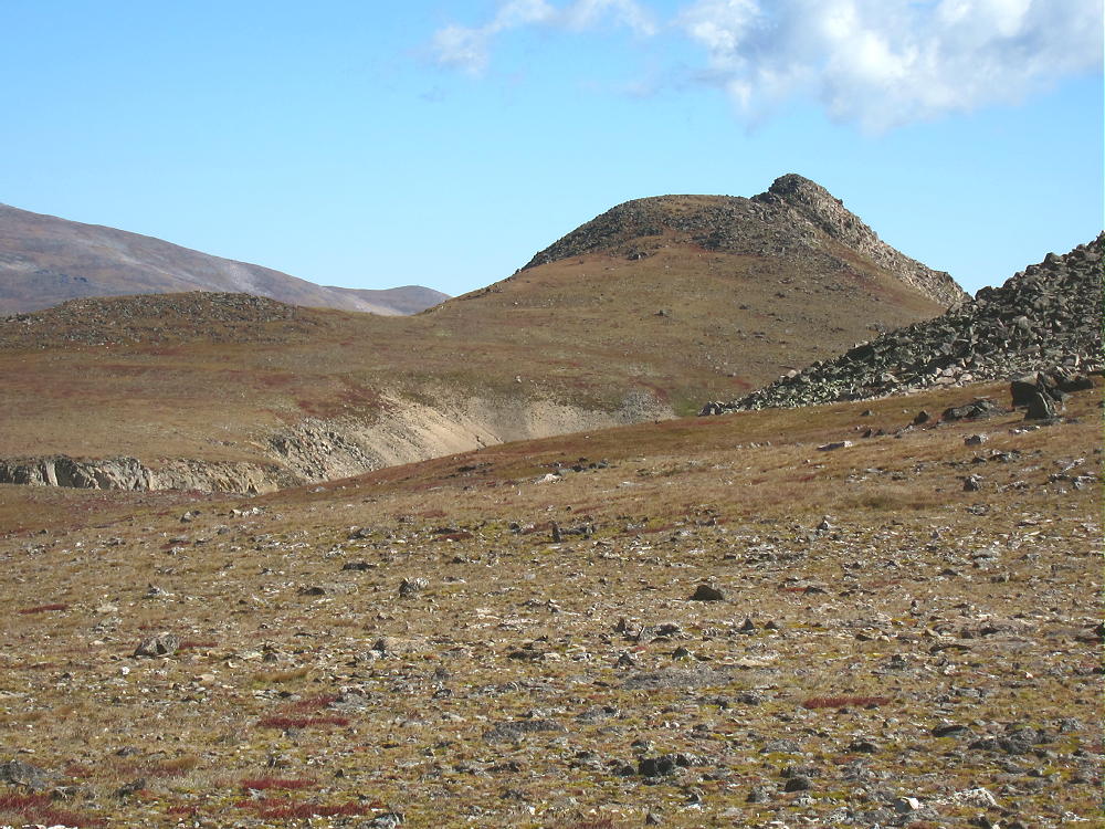
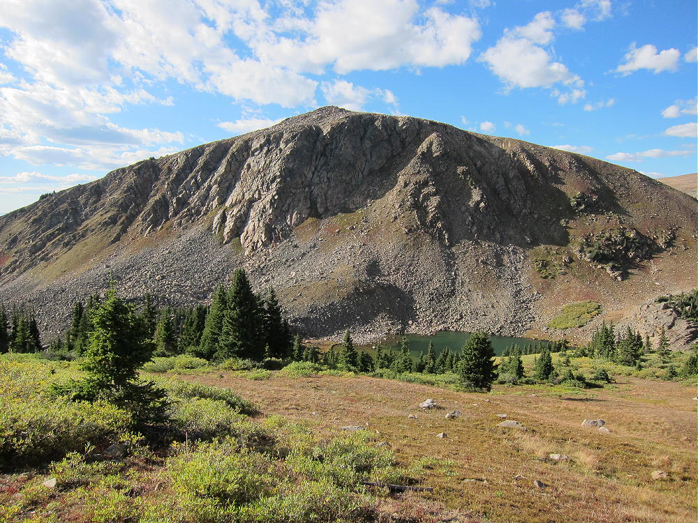
    • Continue southwest toward Mount Epworth, and pick a route up the steep, rocky northeast slope.
    • There are some paths in the scree, but there’s no real trail up Epworth.
    • Further around the mountain to the west, an alternate route is available
    • It’s less rocky, but slightly longer.
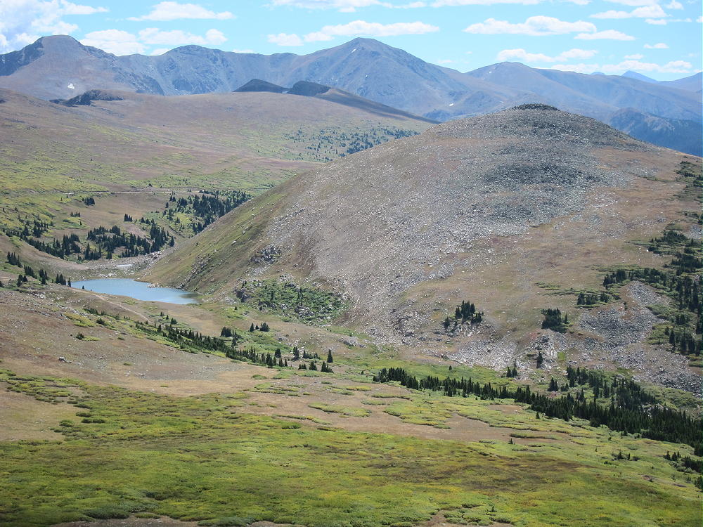
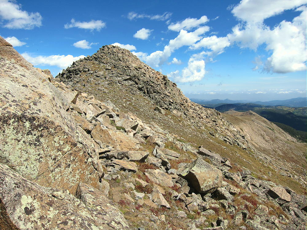
    After about 250 vertical feet of loose rocks above the lake, the route gets much easier. The last part of the climb is over large, stable boulders. The summit is a large mass of rocks, and the pile can be climbed easily on its southeast side. There are numerous large cairns on the summit – the cairn builders certainly had a lot of energy!
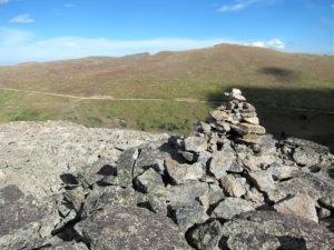
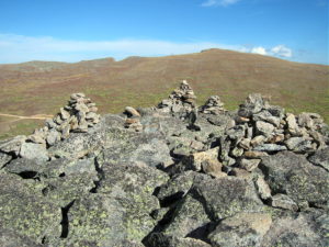
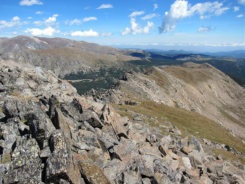
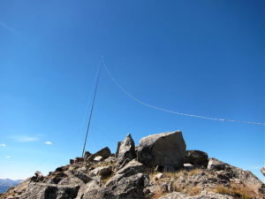
    The activation zone is large and rocky. In good weather it’s pleasant, and the summit has nice views. There are no trees; a pole can be guyed or braced with rocks. It’s possible to operate right on the peak as I did; if it’s windy, set up behind rocks for shelter.
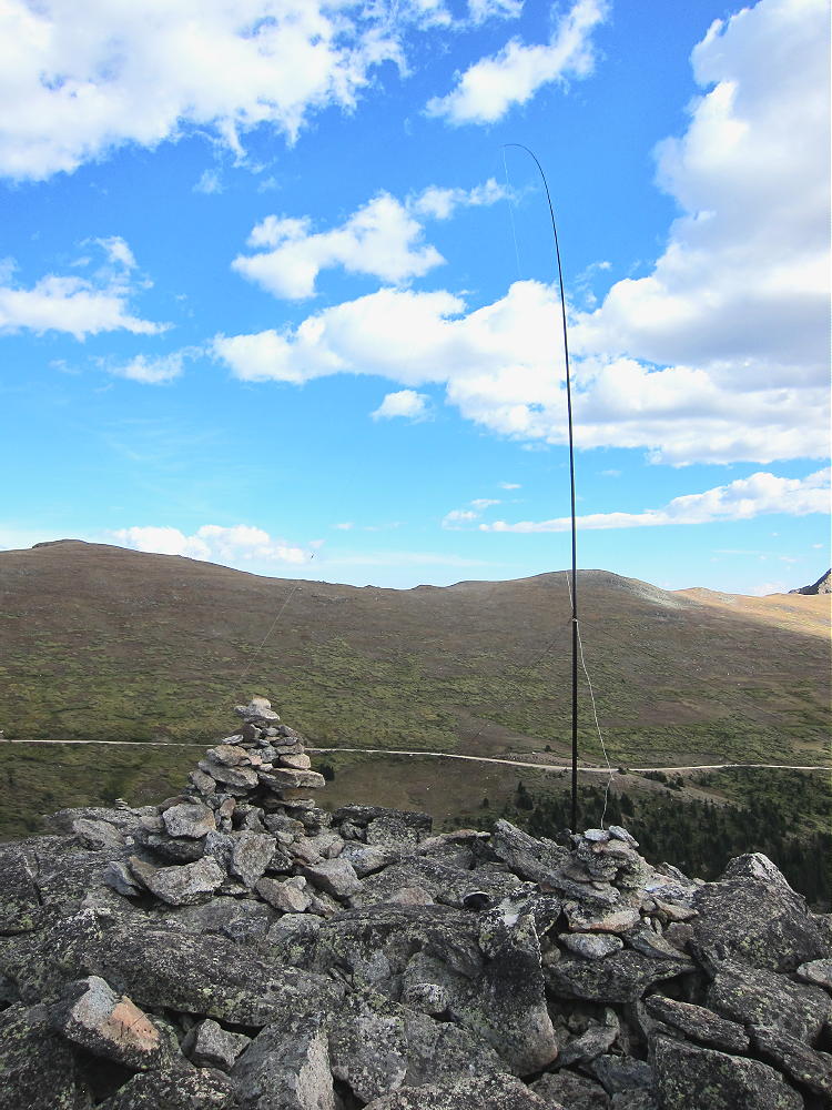
    No development is near the mountain, and the RF noise level is very low. It’s a good HF site – there are no higher peaks nearby to block the signals. Low-angle radiation is possible in most directions. Epworth is probably a poor VHF/UHF site, because it’s partly blocked to the east by the Continental Divide. There’s some coverage of Winter Park, Fraser, and the area around Granby.

    I had an enjoyable late-afternoon activation.  My logs shows 19 contacts on 30, 20, and 17M.  I was able to work EA2IF, Guru, in Spain, across the Continental Divide and the Atlantic Ocean, with my tiny 5 watt ATS-3B radio.

    Mount Epworth can be combined with nearby Skyscraper Peak W0C/FR-122 for a dual activation. Skyscraper takes more time than Epworth, so it’s probably better to activate Skyscraper first. I did this, and it worked well. The mileage total for the dual activation is about 6.9 miles, with a total vertical gain of about 1425 feet. My total time for both trips, including the short drive between the trailheads, was about 7 hours. The drive from Boulder took about 3 hours each way, so it was a 13-hour day in perfect conditions.
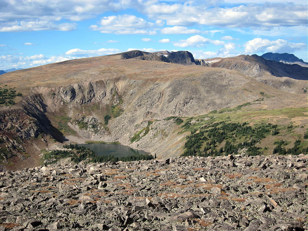
    Climbing and activating Mount Epworth should be reserved for a day with stable, dry weather. The Continental Divide often has dangerous lightning storms, high winds, hail, snow any month, fog & clouds, etc.

    73

    George
    KX0R


    ATTENTION !! WARNING !! There are old mountaineers, and bold mountaineers… there are no old-bold mountaineers. Hiking and mountain climbing are potentially hazardous activities particularly in Colorado with its extreme elevations. I am not accepting responsibility for any death or injury resulting from activations based on my trip reports. Proper training, experience, and personal capability assessment is required – enjoy!
  • W0C/FR-122 (Skyscraper Peak) – 3774m / 12383 ft

    W0C/FR-122
    Skyscraper Peak
    3774 m / 12383 ft
    First Activation
    Sep 11, 2015

    By KX0R

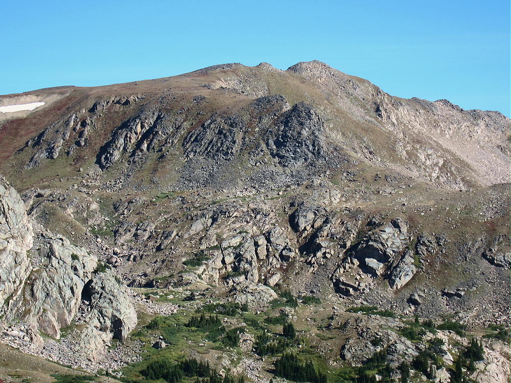
    Skyscraper Peak is a rocky alpine SOTA peak on the Continental Divide near Winter Park.

    Key Points:

    Indian Peaks Wilderness
    • Accessible summer and fall
    • Rough 2WD road to trailhead
    • High exposed summit
    • Relatively easy hike
    • All above timberline
    • 5.3 miles round-trip
    • ~ 700 vertical feet
    • SOTA Classic !

    Driving Directions:

    • Drive west from Denver on I-70
    • Turn northwest on Highway 40
    • Cross Berthoud Pass
    • Continue north down Highway 40 to Winter Park
    • About 0.6 mile past the Winter Park Resort, turn right, north, on Corona Pass Road 80.
    • This road also is called the Moffat Road.
    • Follow this rough, unpaved, 2WD road about 15 miles to Rollins Pass
    • This is the trailhead.

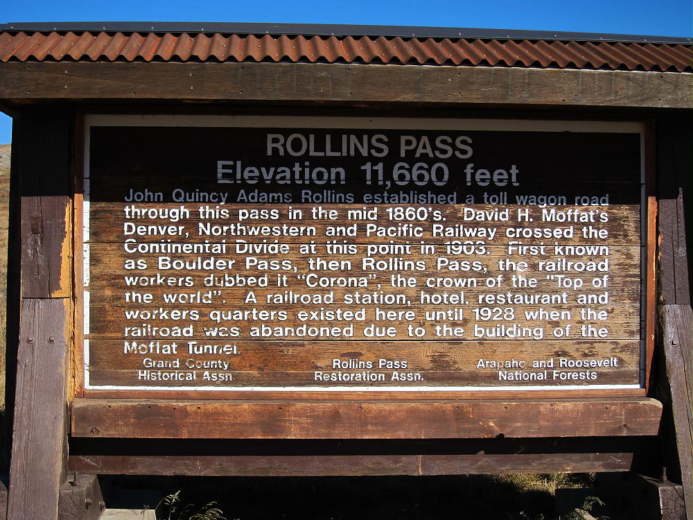
    Rollins Pass – also called Corona Pass – is the primary access to Skyscraper Peak. The trailhead’s on the Continental Divide, southwest of the Peak. The Moffat Road requires more clearance than many cars have; this road follows the old Moffat Railroad Grade. Rollins Pass also is accessible by hiking or biking up from the east side. Skyscraper Peak is in the Indian Peaks Wilderness; there’s no access to vehicles north of Rollins Pass.

    The Hike:

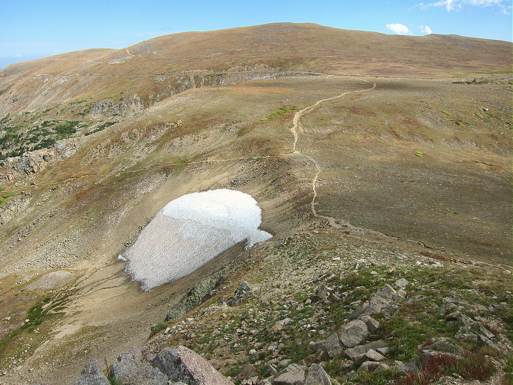
    • Hike north along the Divide via the marked Continental Divide Trail (CDT).
    • The CDT climbs gently to about 12,100 feet – then it descends north
    • There’s no marked route to Skyscraper Peak
    • Use a topo map or GPS to navigate to the summit
    • About 1.7 miles north of Rollins Pass, head northeast from the CDT
    • A good place to leave the CDT is at 12,100 feet on the CDT
    • Contour northeast across the tundra at 12,100 feet for about 2/3 mile
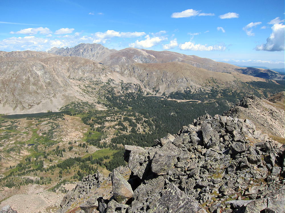
    • Hike to the eastern edge of the Divide and enjoy the deep view down to Bob and Betty Lakes
    • Skyscraper Peak stands ahead – a bump on a long ridge leading to the northeast

    • Continue northeast onto the ridge and climb up to the summit

    There’s no marked trail from the CDT east to the summit. It took me almost 1-1/2 hours to reach the peak from Rollins Pass. The short final climb to the peak is not difficult. Stay to the south of any obstacles – there are hints of a path here and there. Nevertheless, this route is quite high and airy, and it’s not for the faint of heart!

    It might be practical to climb the east ridge of Skyscraper from Woodland Lake – or to ascend steeply up to the summit from Skyscraper Reservoir – but I have not tried either route.

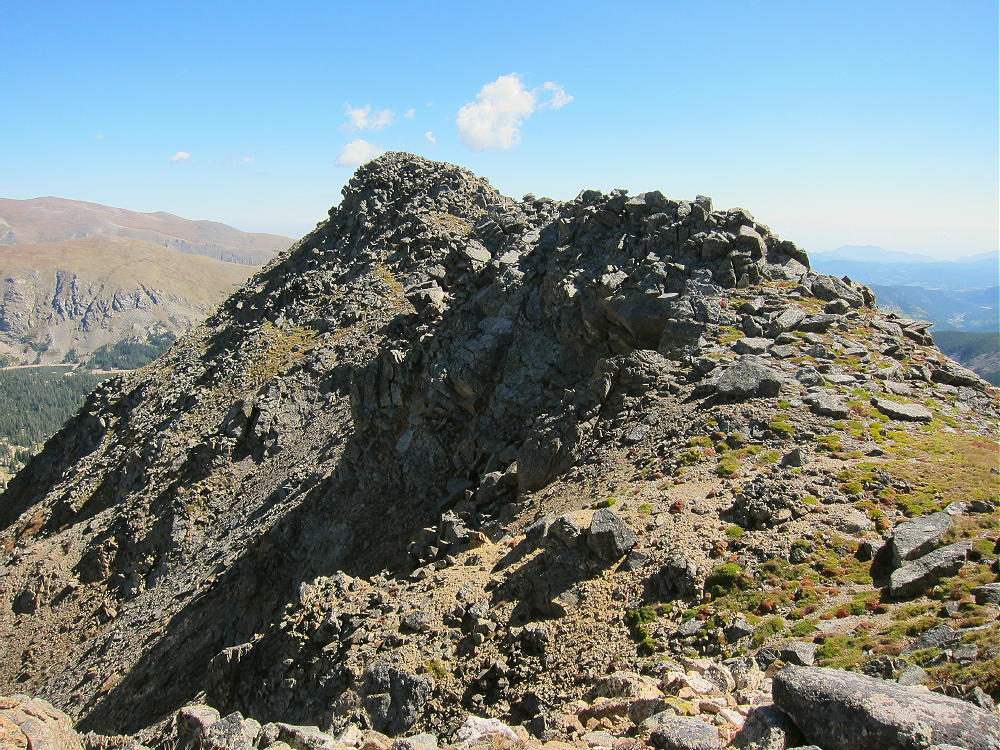
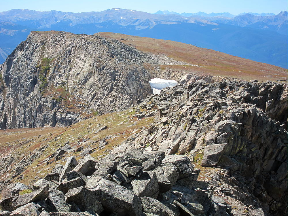
    Skyscraper Peak is not an ideal SOTA peak for all activators. The air’s thin at 12,000 feet, the Divide’s often windy, and dangerous storms may occur. The summit is a rocky knob on a narrow, somewhat exposed ridge with very steep slopes on both sides – there’s almost no protection from wind and weather. The glacial cirques on both sides of the summit are more than 1100 feet down. Setting up an HF antenna requires good judgment and steady feet – there are a few loose rocks. It’s a bit like standing on a 1000-foot skyscraper, hence the name.

    The long, narrow activation zone has enough space to set up gear and an HF antenna; I found a good spot on the southeast side of the summit. I guyed my 20-foot pole to rocks – that was my best option. I ran the 52-foot wire northeast along the ridge – it was a good, secure arrangement for the antenna. There was enough wind that it was worth the trouble to get it right.

    Skyscraper Peak is a fine HF site. It’s many miles from development, and the RF noise level is very low. With no other peaks nearby, this site offers a low-angle view all around. It’s very much like a rock tower – in fact, because the ground falls away so steeply, it may have poorer ground reflection on HF than many less-prominent sites. It should be a fine VHF/UHF site – it has a partial view of the Denver metro area, as well as other population centers on the eastern plains. There’s some blockage from lower mountains east of the peak. Skyscraper also looks west toward Winter Park, Fraser, Granby, and beyond.

    I operated CW on 10, 14, and 18 MHz from Skyscraper. I made 20 contacts – OK, but not great. The was a geomagnetic storm in progress when I was out there, so maybe I did pretty well.

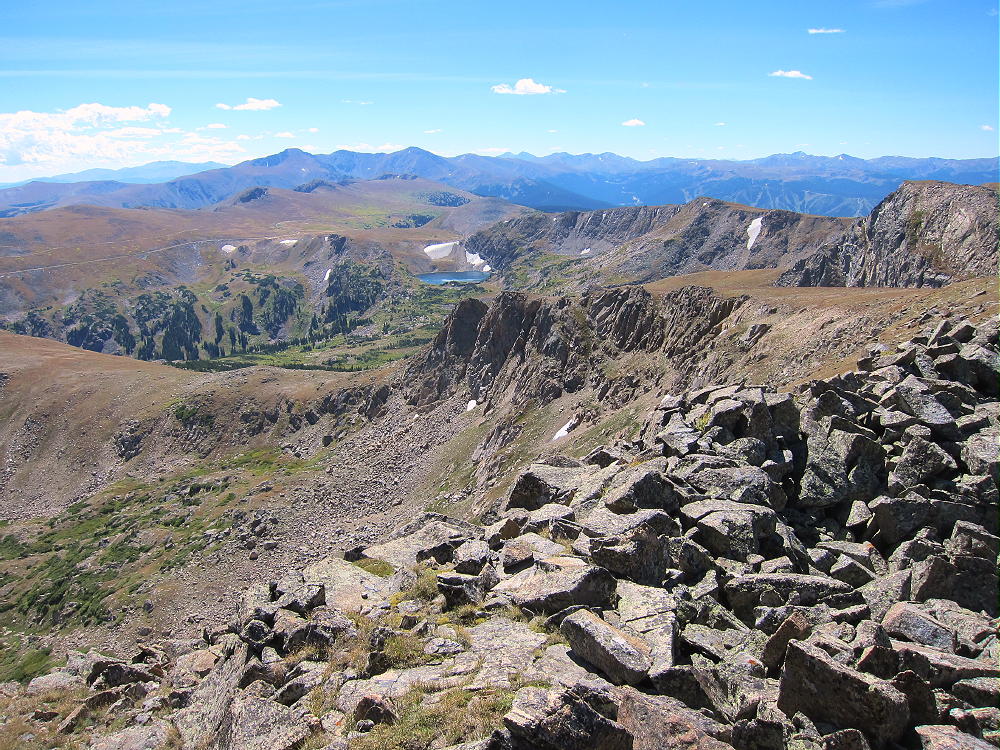
    The views are more than awesome; the experience of setting up and activating Skyscraper is intense! It’s worth the hike just to see the many glacial lakes in the area. Activators who are OK with some exposure and thin air will appreciate this exciting, less-traveled, alpine summit.

    Skyscraper Peak is a SOTA Classic!

    • Wilderness summit
    • Easy alpine hike along the Continental Divide
    • Spectacular views and scenery the entire way
    • Fine HF/VHF/UHF radio site
    • Few visitors

    An activation of Skyscraper Peak can easily be combined with nearby Mount Epworth W0C/PR-007 for a dual activation. Skyscraper takes more time than Epworth, so it’s probably better to activate Skyscraper first. I did this, and it worked well. The mileage total for the dual activation is about 6.9 miles, with a total vertical gain of about 1425 feet. My total time for both trips, including the short drive between the trailheads, was about 7 hours. The drive from Boulder took about 3 hours each way, so it was a 13-hour day in perfect conditions.

    Climbing and activating Skyscraper Peak should not be attempted unless the weather is stable and dry. The Continental Divide often has dangerous lightning storms, high winds, hail, snow any month, fog & clouds, etc.

    Save this experience for a perfect day!

    73

    George
    KX0R


    ATTENTION !! WARNING !! There are old mountaineers, and bold mountaineers… there are no old-bold mountaineers. Hiking and mountain climbing are potentially hazardous activities particularly in Colorado with its extreme elevations. I am not accepting responsibility for any death or injury resulting from activations based on my trip reports. Proper training, experience, and personal capability assessment is required – enjoy!