SOTA outings by KØMOS and contributors

Tag: Poudre Canyon

  • W0C/FR-097 (Sheep Mountain) – 2303 m / 7555 ft

    W0C/FR-097
    Sheep Mountain
    2303 m / 7555 ft
    Oct 20, 2015

    By KX0R

    Sheep Mountain is an obscure SOTA peak on the north side of the Poudre Canyon, right above The Narrows.

    Key Points:

    Roosevelt National Forest
    • Accessible trailhead
    • No marked trail
    • Old trails provide a path part way
    • Navigation and route-finding required
    • Minimal bushwhacking via correct route
    • Prominent open summit
    • Fine views of Poudre Canyon
    • Burned up in High Park Fire of 2012
    • Fine HF summit
    Mount McConnel and 7612 are nearby
    • Trailhead elevation ~ 6500 feet
    • ~ 2.2 miles round-trip
    • ~ 1030 vertical feet
    Driving Directions:

    • Drive to Fort Collins.
    • Continue northwest from Fort Collins on Highway 287 to Ted’s Place.
    • Turn west on Highway 14, and enter the Poudre Canyon after 4 miles.
    • Continue up the winding canyon road, and pass through the Narrows
    • Look for the Narrows Picnic Area on the left side of the highway
    • A good parking spot is nearby, on the west side of the highway. It’s about 20 miles from Highway 287 to the parking spot.
    • Parking is prohibited in some other pullouts nearby.
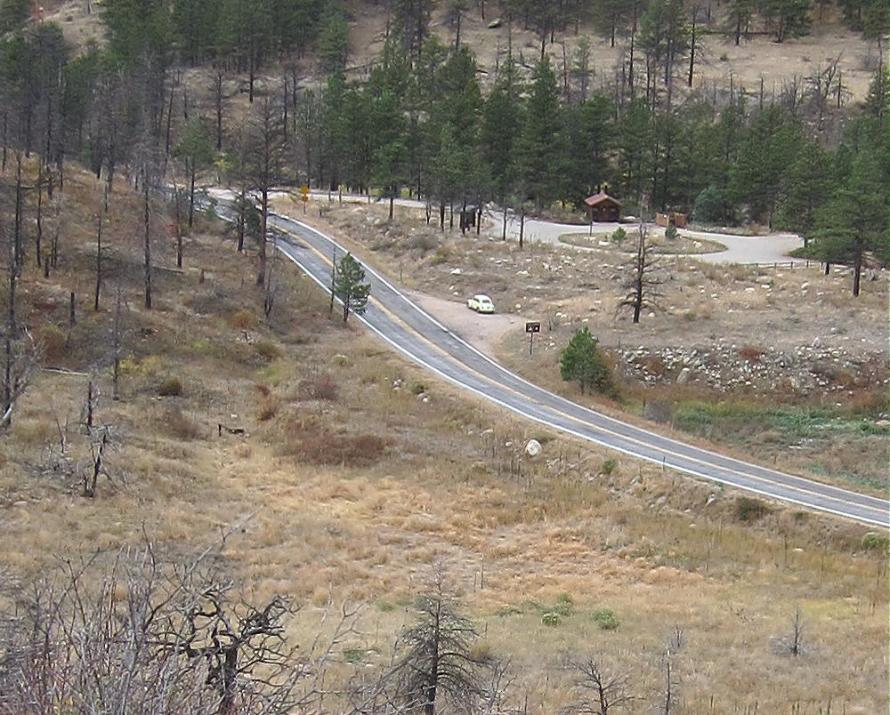
    The Hike:

    • Walk across the highway and hike northeast through an open area toward the obvious gulch.
    • Just to the right, above the gully, is an eroded hill with hints of a trail.
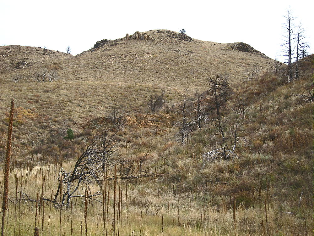

    • Climb up this steep spot, to the eroded orange dirt, rather than hiking directly up the rocky gully.
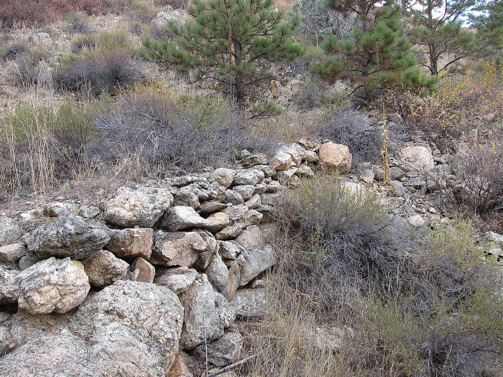
    • A hidden abandoned road 50-100 feet above the gully leads eastward.
    • A good game trail follows this track.
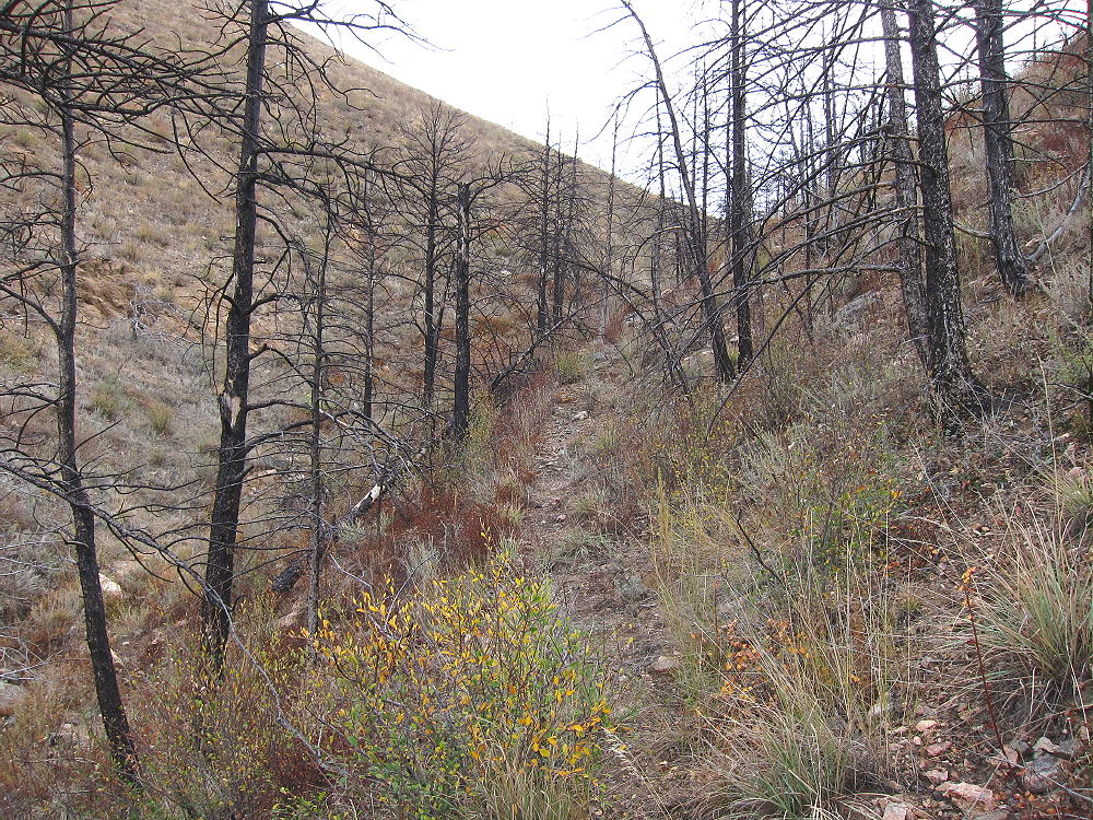

    • This route ascends efficiently up to the wide saddle at 6860 feet, north of Sheep Mountain.
    • Head south from the saddle and climb the north slope of Sheep Mountain.
    • It’s steep and eroded, but it’s probably easier than other routes to the summit – there are hints of an old trail.
    • At the top of the slope, follow the gentle ridge south.
    • Stay just east of a rocky sub-peak.
    • A shallow valley leads up toward summit.
    • Follow the valley and remains of an old trail
    • Climb up the northeast ridge to the top.

    Here’s an alternative trip report from K0MOS.  Matt ascended up the steep southeast side of Sheep Mountain from The Narrows.  I believe my route detailed here is much easier.

    Additional Details:

    The following photo shows the key details of the first part of the climb.  To find the secret trail up above the gully north of Sheep Mountain, you must ascend to the point where this photo was taken.  This is the start of the hidden path up to the saddle north of Sheep Mountain.  Note that this spot is directly across the highway from the south end of the Narrows Campground.  The parking spot is visible down the road to the left.
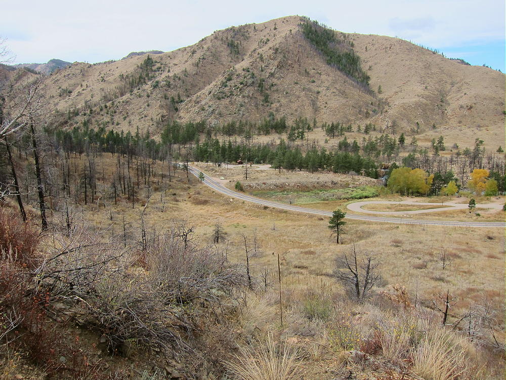
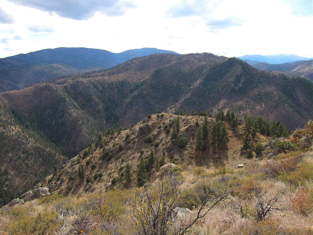
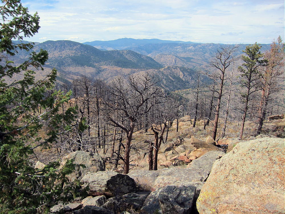
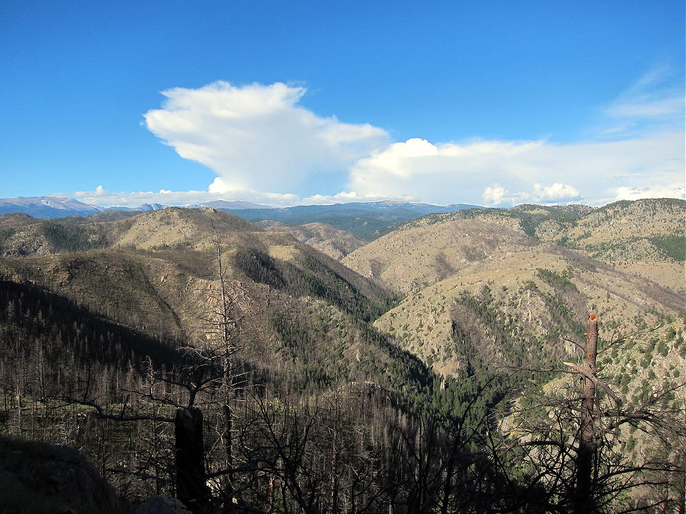
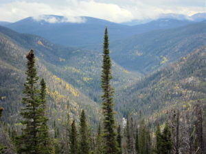
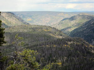
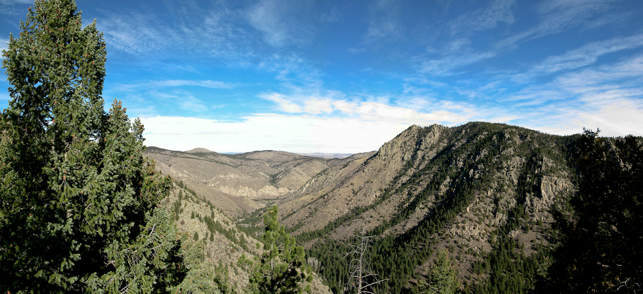
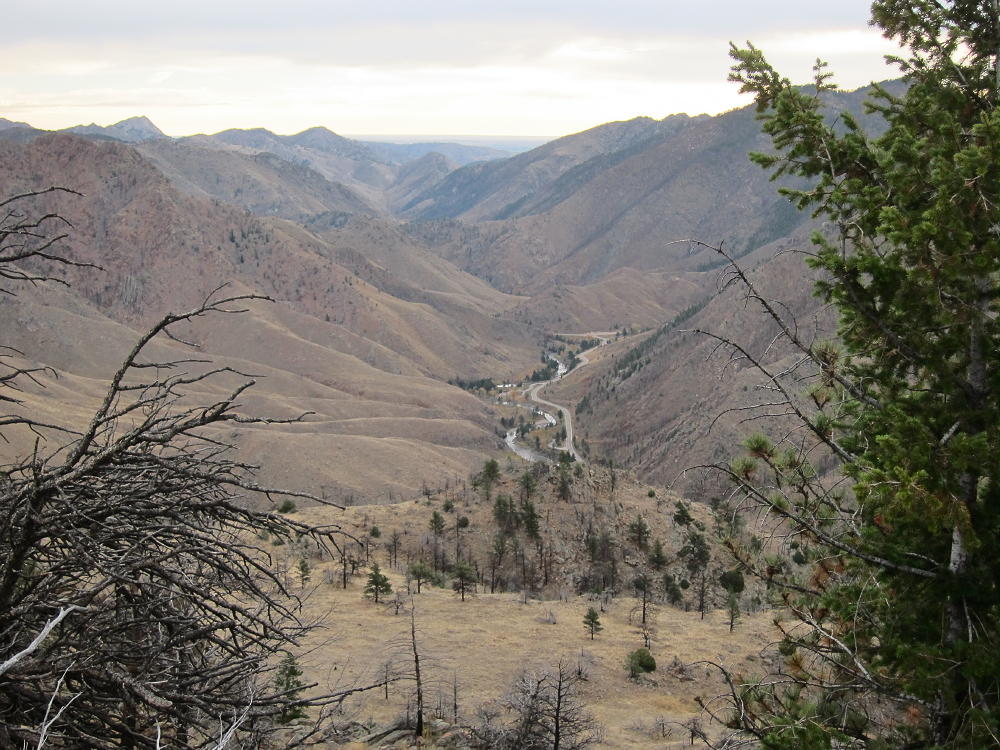
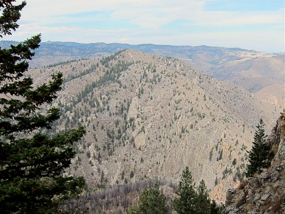
    Because the mountain was burned, there are great views of the Canyon in all directions from the summit:
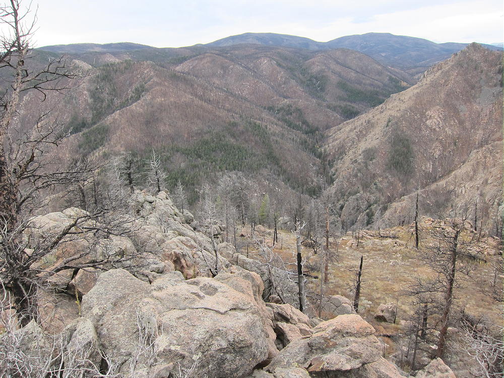
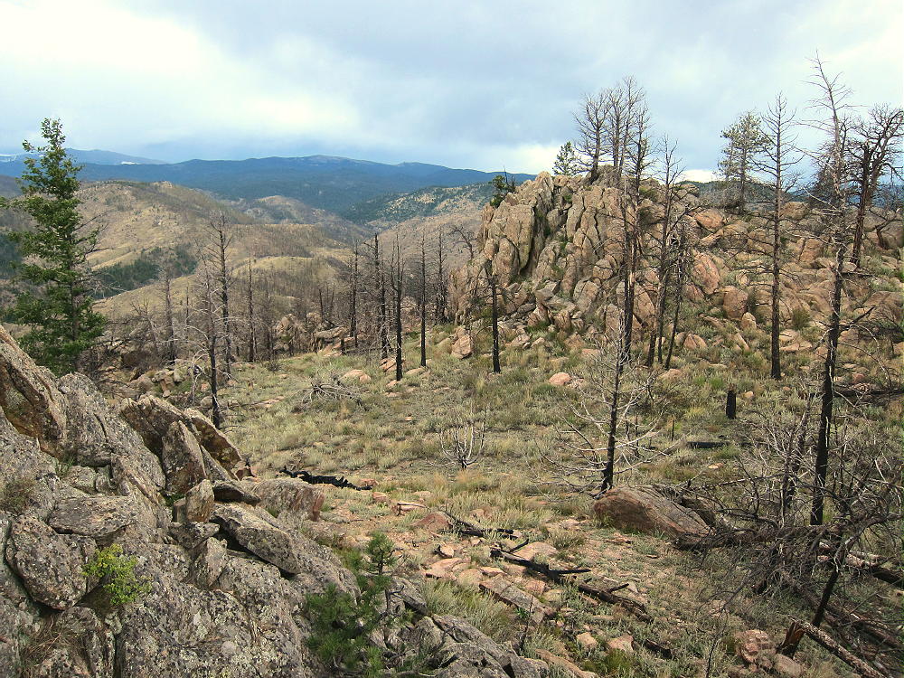
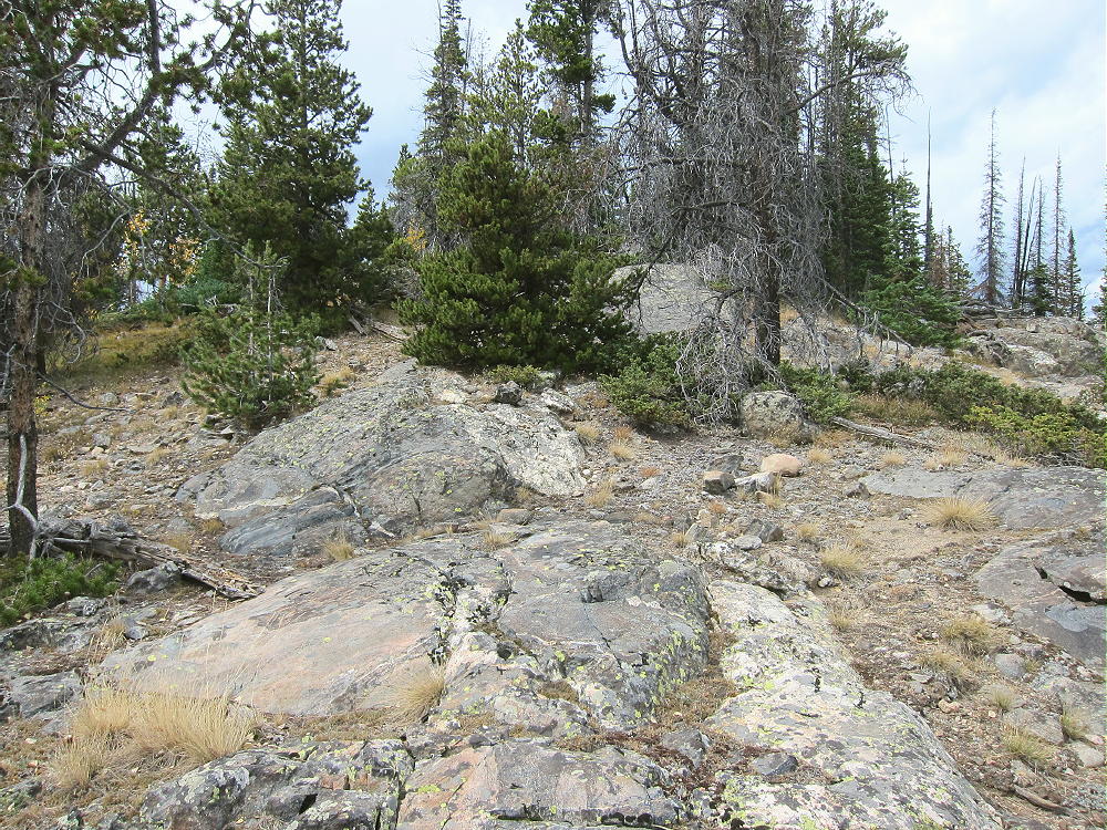
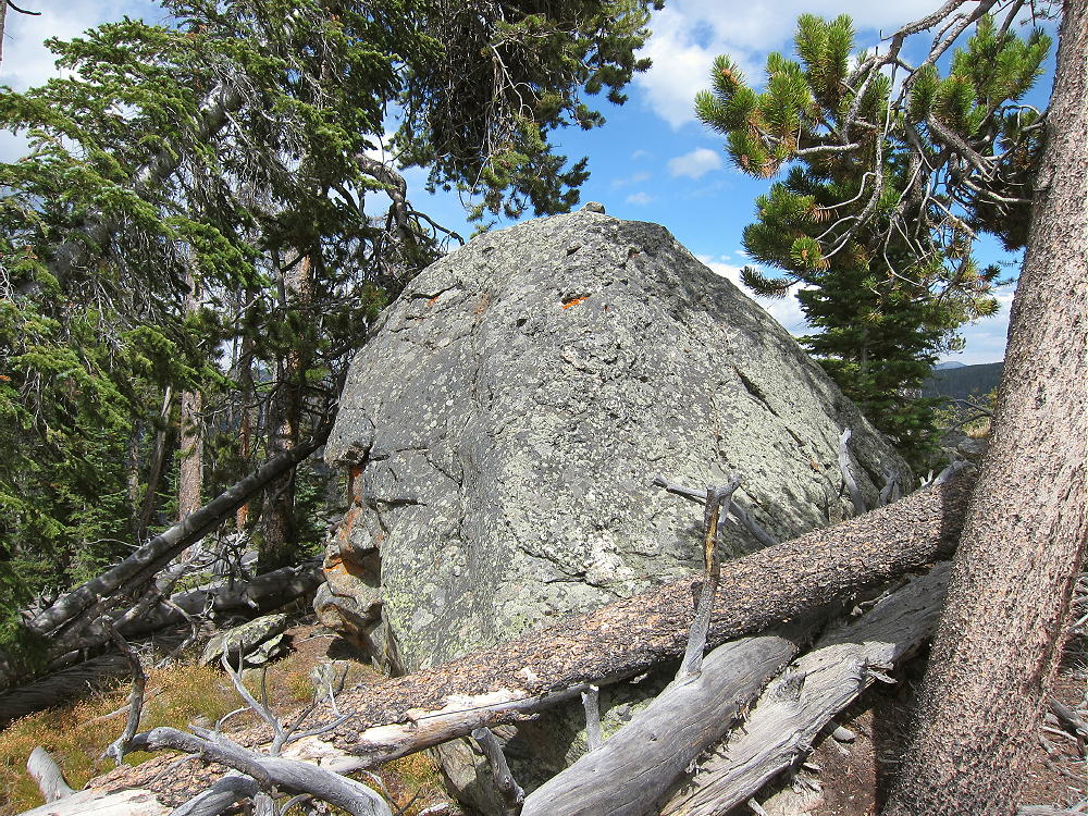
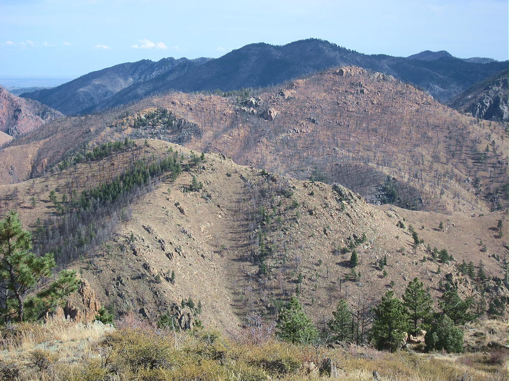
    The prominent summit is very rocky; scorched trees stand all over the slopes.
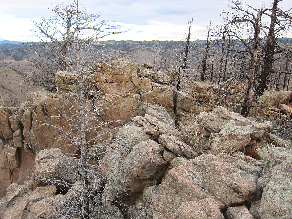
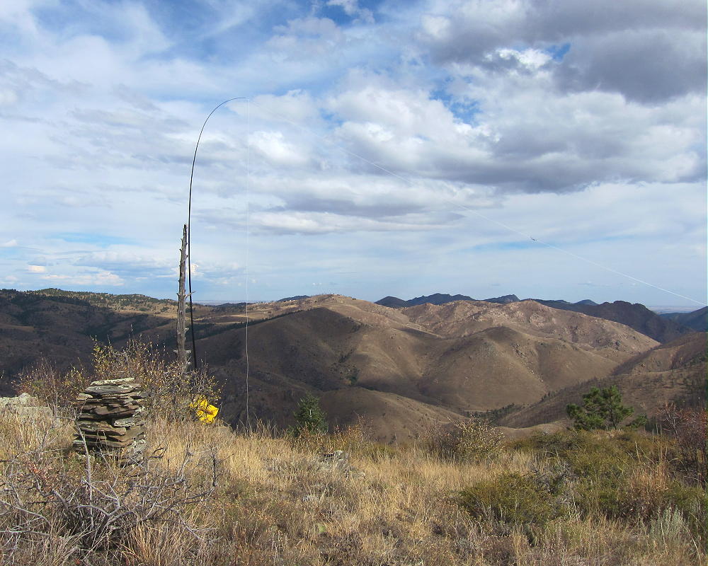
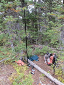
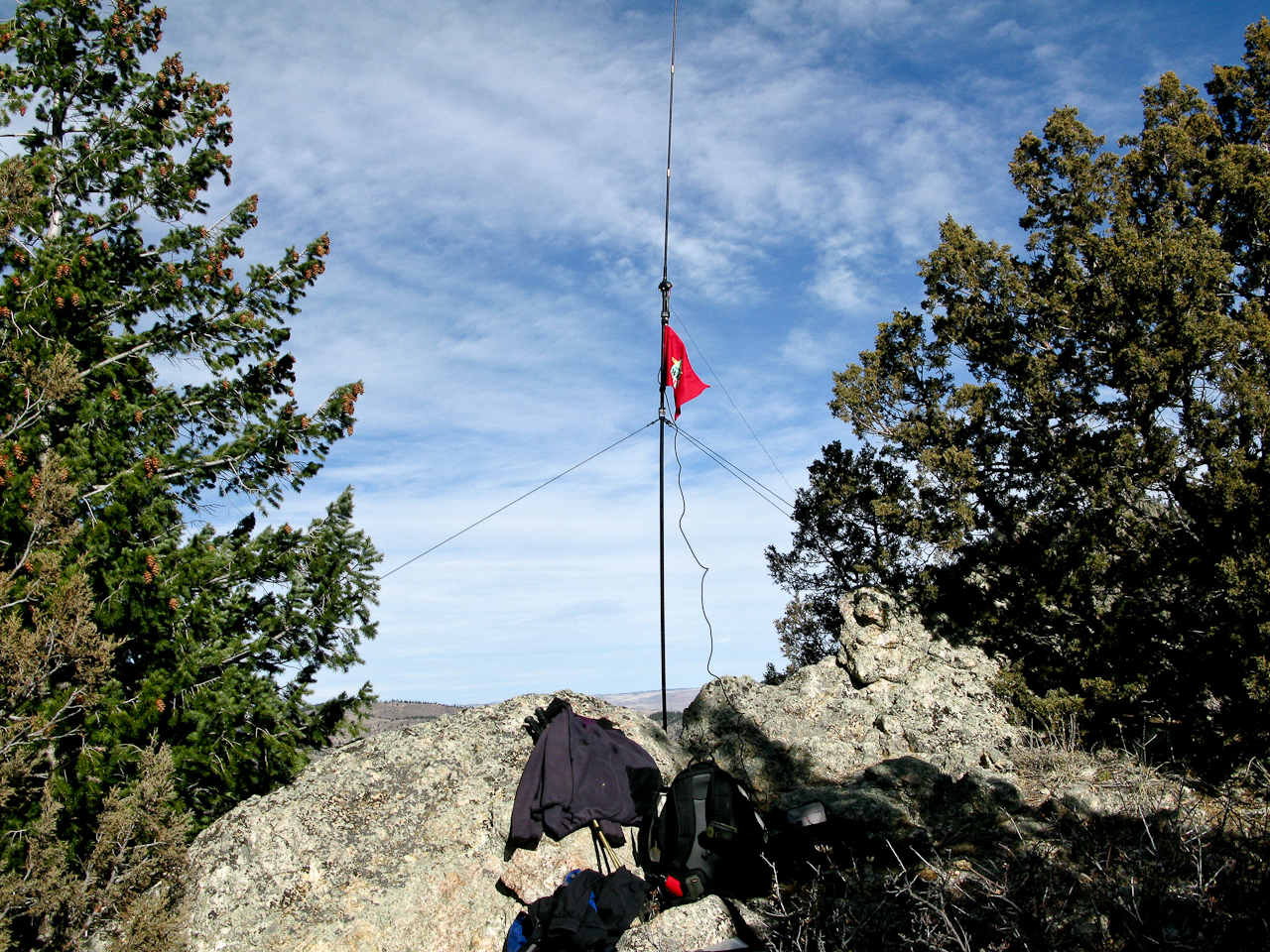
    The large Activation Zone offers several good places to set up with shelter from wind. Plenty of dead trees are available to support an antenna.  The wind forced me to set up my gear down the northeast side below the top.
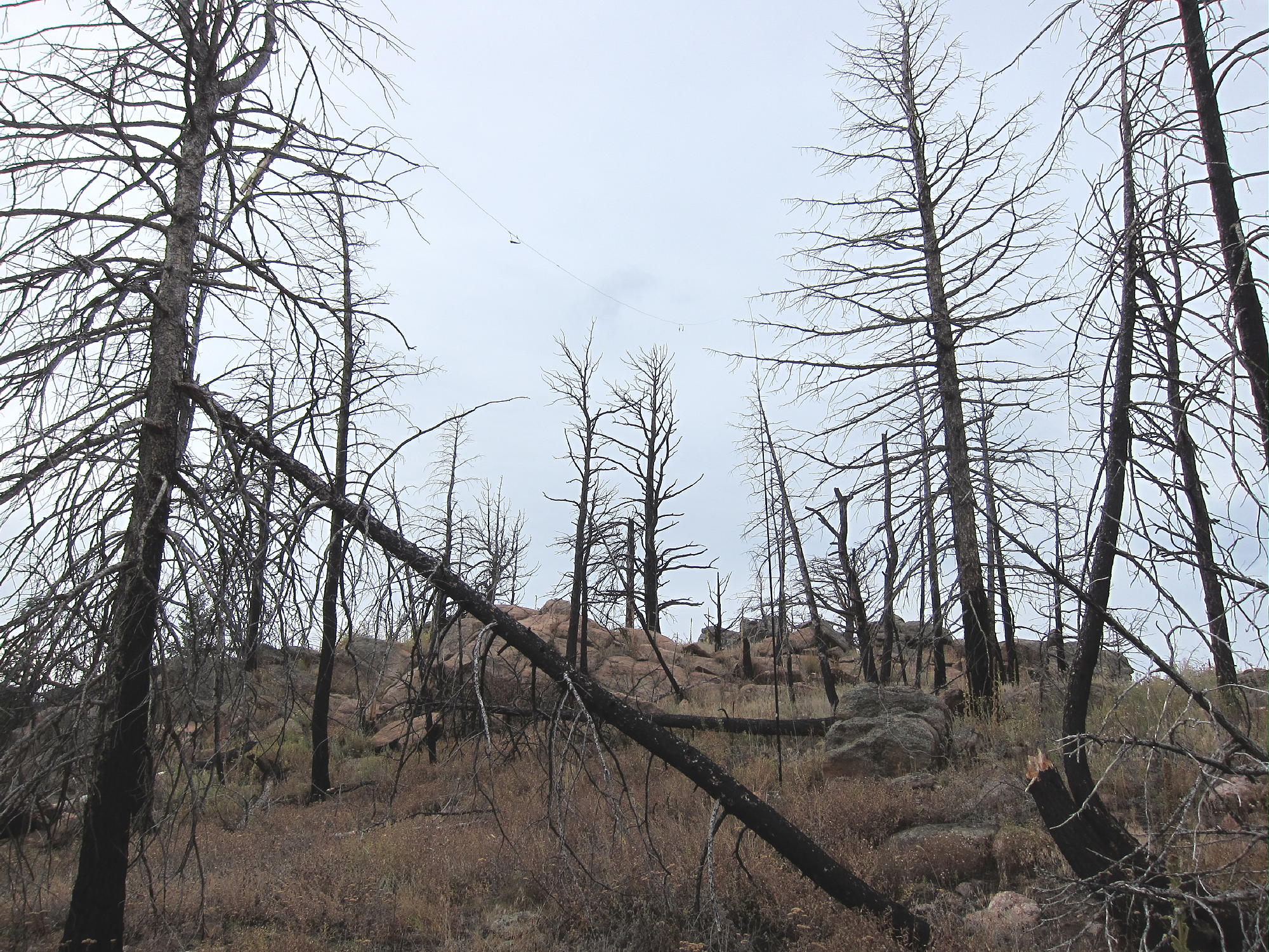
    Sheep Mountain is an excellent HF radio site. There are no higher mountains nearby to interfere with HF propagation. The only development is far down in the canyon, so the HF noise level is low. This is probably a poor VHF/UHF site, as there’s only a glimpse of the plains down the Canyon.

    I had a busy HF activation on 7-10-14 MHz, with 30 CW contacts in less than an hour.

    Several other accessible SOTA peaks are nearby:

    W0C/FR-205 7612                        1.7 miles west
    W0C/FR-088 Mount McConnel       2.2 miles southwest
    W0C/FR-198 7980                        3.0 miles east
    W0C/FR-095 Greyrock Mountain    7.3 miles northeast

    Of these, 7612 and Mount McConnel are the best choices for a dual or multiple activation. I had no problem activating 7612 on the same day as Sheep Mountain.

    Use caution during hunting season in the fall – wear orange; and be careful about lightning, especially in spring and summer.

    73

    George
    KX0R


    ATTENTION !! WARNING !! There are old mountaineers, and bold mountaineers… there are no old-bold mountaineers. Hiking and mountain climbing are potentially hazardous activities particularly in Colorado with its extreme elevations. I am not accepting responsibility for any death or injury resulting from activations based on my trip reports. Proper training, experience, and personal capability assessment is required – enjoy!
  • W0C/FR-205 (7612) – 2320 m / 7612 ft

    W0C/FR-205
    7612
    2320 m / 7612 ft
    Oct 20, 2015

    By KX0R

    Peak 7612 is an obscure SOTA summit in the Poudre Canyon west of Fort Collins. It was surprisingly fun to climb and activate!

    Key Points:

    Roosevelt National Forest
    • Accessible trailhead
    • No marked trail
    • Abandoned roads provide a path almost to the summit
    • Good navigation required
    • Minimal bushwhacking via correct route
    • Exciting, open summit with great views of Poudre Canyon
    • No recent fire damage – live trees and bushes
    • Fine HF summit
    • Trailhead elevation ~ 6700 feet
    • ~ 2.7 miles round-trip
    • ~ 900 vertical feet

    Driving Directions:

    • Drive to Fort Collins.
    • Continue northwest from Fort Collins on Highway 287 to Ted’s Place.
    • Turn west on Highway 14, and enter the Poudre Canyon after 4 miles.
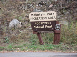
    • Continue up the winding canyon road, past the Narrows, for about 23 miles to Mountain Park Campground.
    • This USFS campground is clearly marked.
    • Pass the bridge to the Campground, and drive west about 0.3 miles
    • Park on the right (north) side of the road at a large pull-out, directly across the River from the Campground.

    The Hike:

    • Avoid the obvious trail heading northwest up a gulch – it goes to an informal shooting area.
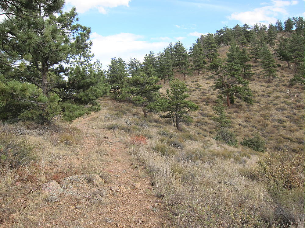
    • Hike northeast from the parking spot instead, along a less obvious, gentle path through ponderosa pines, for about 100 yards to an old abandoned road.


    • This overgrown road is the easiest way up.
    • First the road climbs progressively up into a large valley west of the mountain.
    • Then it continues up a long, gentle ridge leading north to the west ridge of the mountain.


    • The path intersects a more recent jeep road running along the west ridge.
    • This road comes up a steep hill from the northwest – a jeep road is visible in the distance.
    • This un-maintained trail leads to several old campsites northwest of the summit.
    • The jeep trail ends just beyond these campsites.
    • Most of this route is visible on the magnified Google satellite image.

    Beyond the end of the road, a path climbs southeast along the ridge, where it crosses a prominent false summit with a large buttress on the south side. The route continues along the ridge over several small false summits. The trail gradually disappears, but it’s an easy hike to the actual peak.

    The final climb up the north side of 7612 is steep but short. Most of the mountain is bare, but there are no black burned trees, either standing or down; live trees grow on the north side of the summit.

    Additional Details:

    There are great views for miles in all directions. Mount McConnel stands south of Mountain Park Campground, about a mile directly across the canyon.

    The views down into the canyon are exciting. The Plains are barely visible in the east, but the high peaks to the west are easy to see. The perspective up there is very different from what you have in a vehicle down in the canyon!

    A large classic cairn made from slabs of gneiss stands on the summit. A dead tree stands near the cairn – it’s anchored down in the rocks, and it’s ideal for holding an antenna pole.

    There’s some shelter from wind on the east side of the rocks by the dead tree, near the cairn; this is where I set up my gear.

    7612 is a fine HF radio summit. It’s very prominent, with little blockage from higher mountains nearby. The only development nearby is far down in the canyon, so the HF noise level is low. With my pole supported by the dead tree near the cairn, I tied the far end of my antenna wire to a piece of another tree stuck into a bush south of the summit.

    My 5-band activation on 7-10-14-18-21 CW was fun – I made 32 contacts in about an hour.

    This site is probably not very effective for VHF/UHF work. The location is too far west into the mountains to see the population centers to the east.

    Several other accessible SOTA peaks are nearby:

    W0C/FR-088 Mount McConnel       1 mile south
    W0C/FR-097 Sheep Mountain        1.7 miles east
    W0C/FR-198 7980                        4.7 miles east
    W0C/FR-095 Greyrock Mountain   8.9 miles east

    Of these, Sheep Mountain and Mount McConnel are the best choices for a dual or multiple activation. I had no problem activating Sheep Mountain on the same day as 7612.

    Use caution during hunting season in the fall, and wear orange clothing. Please be careful about lightning, especially in spring and summer.

    73

    George
    KX0R


    ATTENTION !! WARNING !! There are old mountaineers, and bold mountaineers… there are no old-bold mountaineers. Hiking and mountain climbing are potentially hazardous activities particularly in Colorado with its extreme elevations. I am not accepting responsibility for any death or injury resulting from activations based on my trip reports. Proper training, experience, and personal capability assessment is required – enjoy!
  • W0C/FR-088 (Mount McConnel) – 2445 m / 8020 ft

    W0C/FR-088
    Mount McConnel
    2445 m / 8020 ft
    Oct 9, 2015
    Nov 8, 2015 with N0TA
    Sep 3, 2016 with N0TA

    By KX0R

    Mount McConnel is a fine SOTA peak in the Poudre Canyon area.

    Key points:

    • Maintained trail all the way to the top
    • Roosevelt National Forest
    • Accessible trailhead
    • Easy hike
    • Good views and scenery
    • Popular in summer
    • Large activation zone
    • Most of the summit area was burned in 2012
    • ~ 4.2 miles round-trip
    • ~ 1300 vertical feet

    Driving Directions:

    • Drive to Fort Collins
    • Continue northwest from Fort Collins on Highway 287 to Ted’s Place.
    • Turn west on Highway 14, and enter the Poudre Canyon after 4 miles.
    • Continue up the winding canyon road, past the Narrows, for about 23 miles to Mountain Park Campground

    • This USFS campground is clearly marked.
    • Access is via a bridge on the south side of the main highway.
    • The trailhead is in the campground area.
    • Cross the bridge to find the trailhead.

    Across the bridge, a right turn leads to special parking for trail-users; parking is limited, and a fee may be charged. If the campground’s closed, park just east of the bridge along the main highway, and walk across the bridge.

    The Hike:

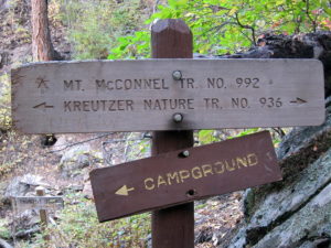
    The Mount McConnel Trail # 992 heads up the north side of the mountain from the campground area. After about ½ mile, the path meets the William Kreutzer Nature Trail # 936 – continue up the main trail, which ascends several switchbacks on the north side of the mountain.

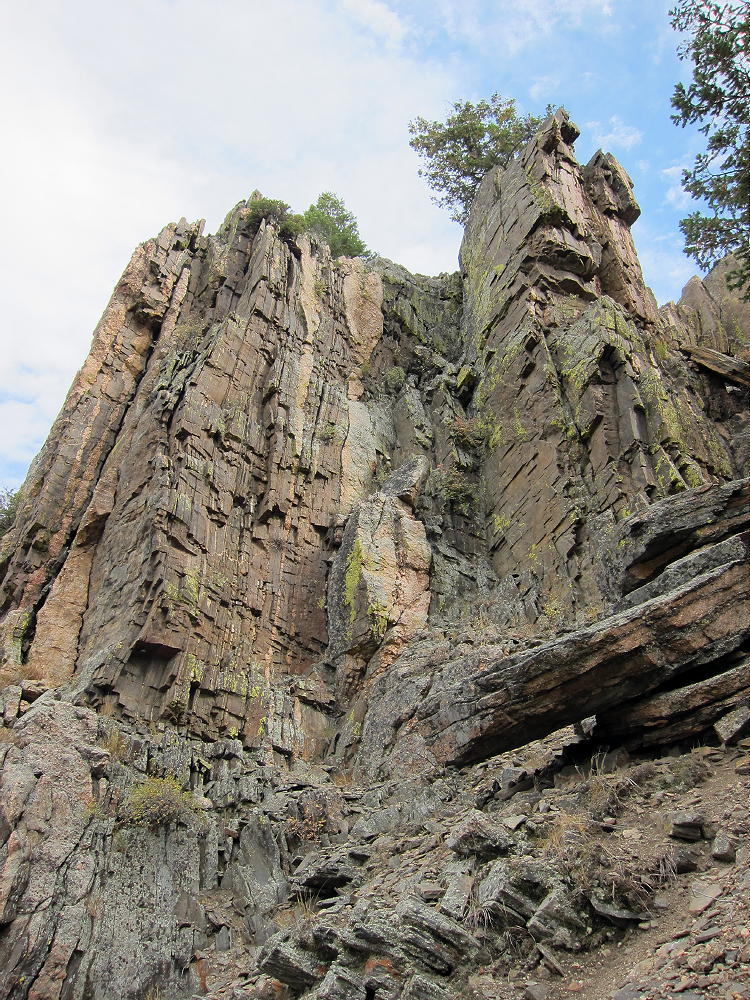
    The route continues up a ridge northwest of the summit – there are good views of the Canyon.  The trail passes some interesting metamorphic rock formations with vertical beds.

    Part of the summit forest burned in the High Park Fire of 2012.

    As the trail approaches the mountaintop, an unmarked fork leads west 200 yards to the summit area. The actual peak is the top of a large rock formation. The spacious Activation Zone offers plenty of room to set up, either near the peak, or on other convenient rock formations in the Zone. When the forest burned, the summit area became more open and sunny.

    Additional Details:

    The main trail continues east from the fork near the summit, traverses several sub-peaks, and leads down the east ridge of the mountain. Then it descends steeply down a “primitive trail” – this is an accurate description. On my first trip up, I ascended via the primitive trail, and it’s steep, with large steps required on some big rocks. It would not be a good route in winter – the main trail is much better. The primitive trail is an alternate, more challenging route with great views down into the Canyon; this path eventually connects with the Kreutzer Nature Trail at a fork. The Nature Trail leads west and connects with the main trail above the Campground. The northern path leads down toward the River and ends by the bridge at the entrance to the Campground.

    Trail 992 is a popular trail. In summer an early start is advised, partly to avoid thunder storms, and also because parking is limited.  This trail is a National Recreation Trail and was built by the CCC in the 1930’s.  R.C. McConnel was an early National Forest ranger in the area.

    Mount McConnel is a superb HF radio site. The Activation Zone contains several large rock outcrops upon which you can set up radio gear and operate; there are trees to support a pole, and some shelter from wind is available. An activation “on the rocks” provides additional height for the antenna, enhancing HF propagation.

    The only development near the mountain is at the campground far below, so the HF noise level is very low.

    On Oct 9, 2015, I made 30 contacts on 7, 10, 14, and 18 MHz CW during my 1 hour, 5 minute activation.

    On Nov 8, 2015, N0TA and I activated McConnel together. John made 20 contacts on 14 MHz CW, while I made 28 contacts on 7, 10, 18, and 21 Mhz CW nearby.

    On Sep 3, 2016, N0TA and I again activated McConnel together. John made 30 contacts on 10 and 14 MHz CW, while I made 27 contacts on 7, 10, and 14 MHz CW.

    McConnel is probably a poor VHF/UHF site, due to its location in the Poudre Canyon. The Plains are hidden behind other mountains, and coverage of populated areas is limited.

    Several other SOTA peaks are nearby, and a dual activation is possible:

    Peak 7612                W0C/FR-205    ~ 1 mile north across the Canyon
    Sheep Mountain        W0C/FR-097    ~ 2 miles east
    7980                        W0C/FR-198    ~ 5 miles east
    Greyrock Mountain    W0C/FR-095    ~ 9.5 miles east

    These mountains are all 1-point summits, with rocky tops and challenging hikes. Many excellent higher SOTA peaks are farther west, near Cameron Pass, etc.

    Mountain Park Campground offers camping in the warmer months, and there are many other campgrounds in the Poudre Canyon. Numerous opportunities for mountain recreation are available across the area – hiking, fishing, rafting, climbing, backpacking, biking, etc.

    73

    George
    KX0R


    ATTENTION !! WARNING !! There are old mountaineers, and bold mountaineers… there are no old-bold mountaineers. Hiking and mountain climbing are potentially hazardous activities particularly in Colorado with its extreme elevations. I am not accepting responsibility for any death or injury resulting from activations based on my trip reports. Proper training, experience, and personal capability assessment is required – enjoy!
  • W0C/FR-156 (9986) – 3044 m / 9986 ft

    W0C/FR-156
    9986
    3044 m / 9986 ft
    First Activation
    Sep 15, 2016

    By KX0R

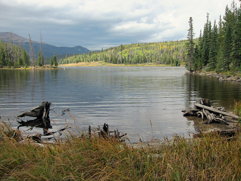
    Peak 9986 is a challenging SOTA peak near Barnes Meadow Reservoir in the Poudre Canyon of Northern Colorado.

    Key Points:

    Roosevelt National Forest
    • Obscure summit, rarely visited
    • No obvious trailhead
    • No marked trail
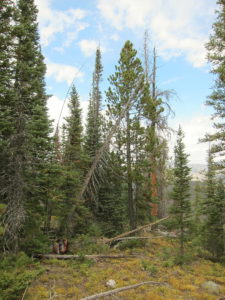
    • Steep, off-trail ascent through thick forest with plenty of deadfall
    • Challenging navigation most of the way
    • Excellent HF radio site
    • ~ 5.4 miles round trip
    • ~ 1000 vertical feet

    Driving Directions:

    • Drive to Fort Collins
    • Go north on Highway 287 about 10 miles
    • Turn west on Highway 14 at Ted’s Place
    • Drive up the Poudre Canyon to where CR-103 heads off to the north to Chambers Lake, Gledevey, etc.
    • This junction is about 51 miles from Ted’s Place
    • Pass this intersection and go about ¼ mile further up Highway 14 to Barnes Meadow Reservoir.
    • This reservoir is not visible from the highway, but the dam is visible; there’s no marked trail-head.
    • Park just off the highway, near the southwest corner of the Reservoir.
    • The parking spot is northwest of some red rocks piled along the shore – see the Google satellite image.

    The Hike and the Climb:

    • Hike from the parking spot to the southwest corner of the reservoir.
    • From there, a trail leads east along the south shore of the lake. This is easy to see on the satellite image.
    • This trail is mostly used by fishermen.
    • The south shore is open to the public.


    • Follow the path along the shore for a bit more than a mile, all the way to the northeast corner of the reservoir.
    • Even though it’s tempting, DO NOT hike across the dam on the west side of the lake to access the north shore – the entire area is posted and closed to the public.
    • The south shore is not posted, and it provides good legal access to the National Forest and Peak 9986 northeast of the Reservoir.
    • The path gets primitive toward the east end of the lake.
    • At the northeast inlet, cross the small creek and head north into the forest.
    • The remaining route to 9986 is off-trail.
    • The general idea is to climb steeply north to about 9600 feet, and then follow the moderate east ridge of the mountain up to the summit.
    • The summit is not visible until you get on top of the ridge.

    Useful Details:

    GPS is helpful for navigating up through the rocky gullies, thick forest, and deadfall on the route to 9986.

    Only strong hikers with backcountry, off-trail experience should attempt to climb 9986. Avoid steep, cliffy areas southwest of the summit, as well as the deep Cache la Poudre River Canyon east of the mountain.

    There are many game trails that help make the southeast ridge route work. Most of the gulches and ridges have game trails. This is a good area for deer, elk, and moose.

    The actual summit of 9986 is a large boulder; I didn’t see a register in a jar, etc.

    The activation zone extends a long way along the east-west ridge-top, so many good spots are available for setting up and operating on the radio. The summit is essentially in the wilderness, more than a mile from a bit of development near the highway, and the RF noise level is very low. While not the highest point in the area, it has enough prominence to be a nice HF site. Because of the surrounding mountains, the peak probably has poor VHF/UHF coverage.

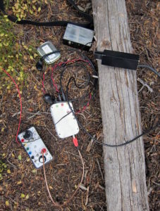
    With wet weather moving in quickly, I set up my radio gear just east of the summit under an evergreen tree.


    In spite of some snow flurries and wind, my activation went well, with 30 CW contacts logged on the 40-30-20M bands.  The sun came out after I was done!

    9986 is not far from several other SOTA peaks near the Poudre Canyon; it might be combined with another hike for a dual activation. Nearby possibilities include:

    W0C/FR-131 10980
    W0C/PR-072 North Diamond Peak
    W0C/PR-061 Iron Mountain
    W0C/PR-006 Lulu Mountain
    W0C/FR-027 Cameron Peak

    It would be a long day. A trip up 9986 and back is a pretty good workout by any standard.

    Here’s an excellent report of a winter expedition to 9986.

    Numerous campgrounds and other facilities are available in the Poudre Canyon area. North Park is only a half-hour drive to the west. Opportunities for recreation are numerous!

    73

    George
    KX0R

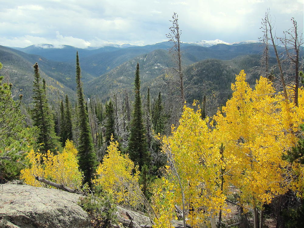
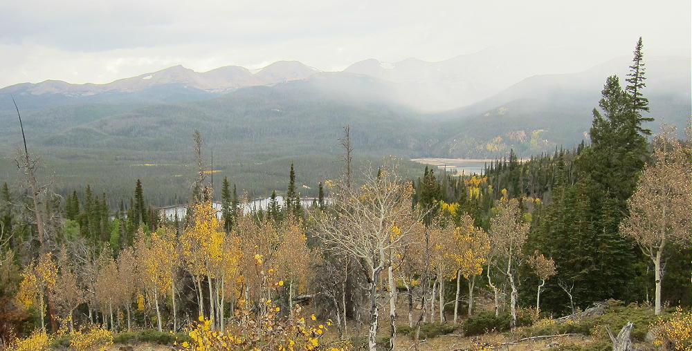
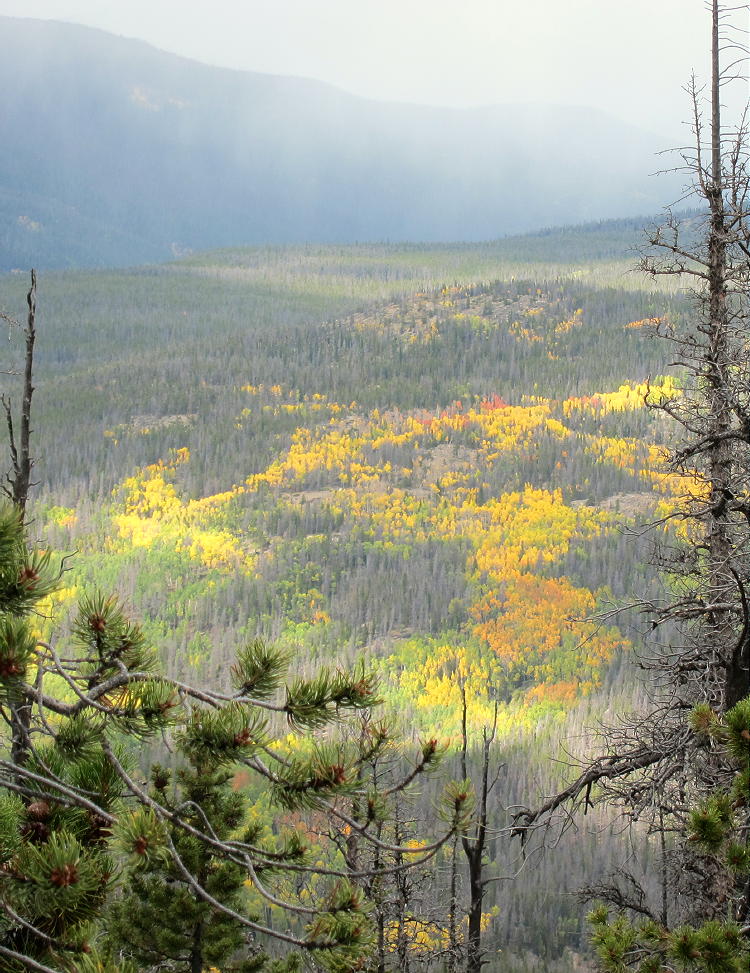
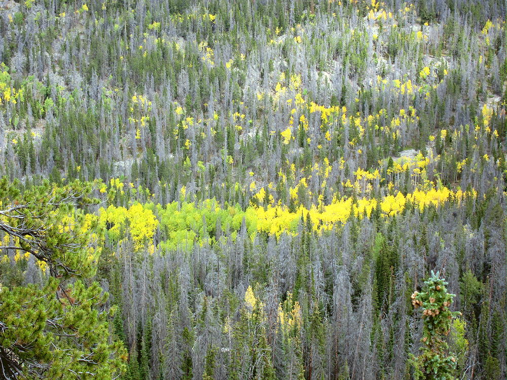
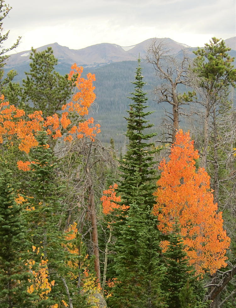
    Aspen Gallery:


    ATTENTION !! WARNING !! There are old mountaineers, and bold mountaineers… there are no old-bold mountaineers. Hiking and mountain climbing are potentially hazardous activities particularly in Colorado with its extreme elevations. I am not accepting responsibility for any death or injury resulting from activations based on my trip reports. Proper training, experience, and personal capability assessment is required – enjoy!
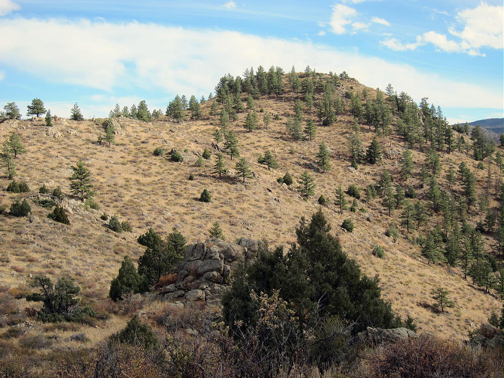
  • WØC/FR-Ø88 (Mount McConnel) – 2nd activation

    This was a re-activation for me. If you are looking for all the details on how to get there and other useful info, you can find the original trip-report with the necessary details right here. This post has only a few specifics from today’s activation.

    Waking up this morning,  I was not sure whether I saw fog or smoke when I looked out of the window. However, my nose was clear about what was going on – it was definitely smoke… coming from a large wild-fire (Hewlett fire) just a few miles north of here. It has been burning for the last six days and consumed over 7300 acres (~30 square km) in the Poudre Canyon, one of my main access routes to SOTA summits. Checking the Web confirmed that Co14 was closed between Ted’s Place and Rist Canyon due to the fire. I was planning to activate Mount McConnel, an easy hike of ~4,2 mi (6,8 km) and 2110 ft (643 m) ASL, about 10 miles up the Canyon from the fire. The road closure forced me to take an alternate route through Rist Canyon to get to the trail head. The early morning drive along the small and winding road was very enjoyable and I reached the trail-head ahead of schedule. The bridge over the Poudre River to Mountain Park Campground (where the TH ls located) was still closed for the season – so I parked the car on the downhill side of the road on a small gravel strip and started my hike. The temperatures were perfect, low 60s with a light breeze. Wildflowers started to come out everywhere and I quickly found my rhythm heading up the trail.  Hanging out with my own thoughts, I almost stepped on a large male Dusky Grouse who panicked and flapped nervously into the trees. He almost gave me a heart-attack, but I was glad it was just a grouse and nothing more predatory. Shortly after that incident we had another encounter. This time it was a little more civilized and relaxed, at a safe distance. He displayed his square tail but did not allow me to take a good picture – too bad. By the time I reached the summit, it was partly cloudy and with all the particles in the air from the raging fire not too far from here, the views were not as good as I had experienced last time.  I used the top of a tree (growing below the cliff) to attach and tune my antenna for 17m. My first contact was with Kriss/KA1GJU/AM who was en route to San Francisco. He was just about 50 miles east of me at 36’000 ft (~11’000 m) and was kind enough to use his unique position and 400 W radio to drum-up some more contacts – thanks a bunch Kriss. 17m was not very productive so I re-tuned to 20m and worked most of my regular chasers. By the time I could not copy any more chasers, more clouds already moved in and the winds picked-up too. A sign to pack up and head down.

    Thanks for all the contacts and spots.

    Update: Sadly, since then Mount McConnel has now been consumed by the Highpark fire as well. As of yesterday, two more SOTA summits are within the burn area.

    Some video impressions:
    httpvh://www.youtube.com/watch?v=azvG7_AnVAk

    Please post comments or questions through YouTube.


    ATTENTION !! WARNING !! There are old mountaineers, and bold mountaineers… there are no old-bold mountaineers. Hiking and mountain climbing are potentially hazardous activities particularly in Colorado with its extreme elevations. I am not accepting responsibility for any death or injury resulting from activations based on my trip reports. Proper training, experience, and personal capability assessment is required – enjoy!
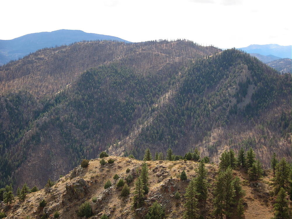
  • WØC/FR-198 (Peak 978Ø) – 2428 M / 798Ø ft

    There was a winter storm watch in effect for later in the day… hard to believe in light of the unusually warm weather in the morning. To get another SOTA peak on my record before the next snow arrives, I picked an unnamed peak WØC/FR-198 (798Ø) in the Poudre Canyon. The peak is located between Young’s Gulch, a popular hiking/biking area, and CO Rd 27 (Stove Prairie Road). It is part of the Front Range of the Rocky Mountains  and is managed by the Roosevelt National Forest.
    Since there is no trail to the summit, I had been wondering about the best way to bushwhack my way up there. There is private property on the south side of the mountain and the approach from the Canyon is too steep (well, it’s a Canyon after all). The approach from the west (Stove Prairie Road) seemed to be short but steep and appeared to be in wooded area. The approach from the east however seemed to be more open and it allowed me to use the hiking/biking trail into Young’s Gulch (along a creek) for a while, with some bushwhacking later in the trip over the south-easterly ridge. Even-though this route was substantially longer, I opted for it, specifically considering the approaching winter storm with forecast high winds out of the west – I would be better protected. Winter storms in the Rockies and Foothills can be fast and furious.

    Trailhead: 5848 ft / 1782 m
    Summit:   7980 ft / 2432 m
    Elev. gain: 2851 ft / 869 m
    Roundtrip: 7.5 mi / 12.1 km

    Compare this summit with my other activated summits

    How to get there:
    Take US287 N from Fort Collins towards Wyoming. Go west  at Ted’s Place on CO14. You will find a sign for the Young’s Gulch TH around mile 13 into the Canyon on the south side of the road. The section between CO14 and the parking lot is in very bad shape. Luckily it’s only about 100-200 yards but some of the pot-holes are  huge. The parking lot is quite big and was completely deserted.  The usual TH signs, warnings and maps can be found, but no potable water, toilet etc.

    Parkinglot/Trailhead

    View Larger Map

    Red Tape:
    It’s a very dog friendly trail, one of the few trails in the Poudre Canyon where you are allowed to let your dogs run off leash. That’s one of the reasons why this trail is very popular on week-ends. Be prepared  to encounter quite a few people/dogs/mountain bikers in summer and on week-ends.


    The Ascent:

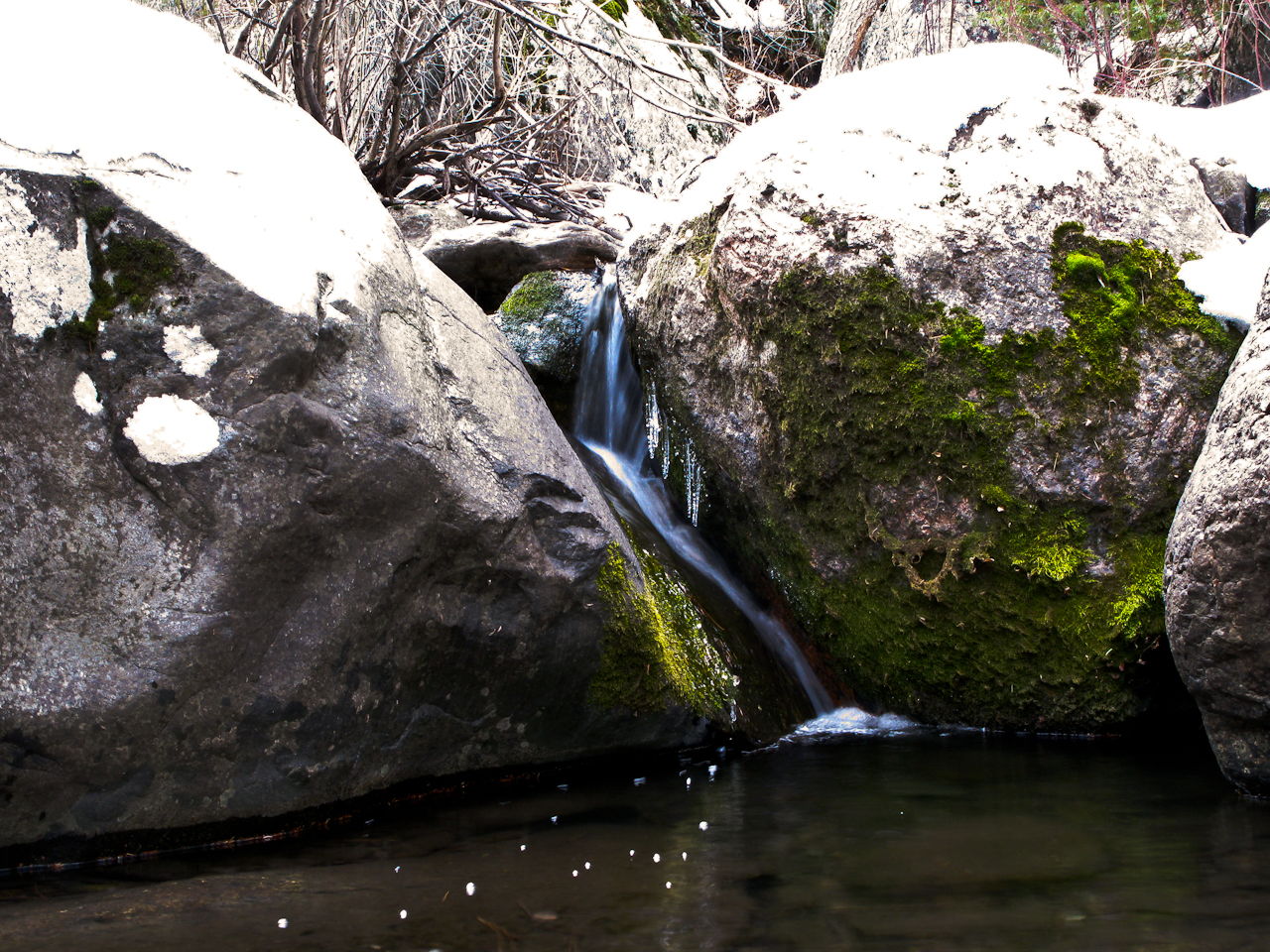
    Icy waters

    The first part was easy to navigate since there is a trail, following a shallow creek. I had to cross the creek every once in a while (approx. 20 times). The (very) low water level in winter keeps your feet dry. The larger problem was the fact that the trail was quite icy. This time of the year the sun can’t reach the ground in the narrow gulch anymore. I was happy that I decided against using my mountain bike for the first part and that I carried my hiking poles – they saved my behind several times.
    I was looking for the ridge I determined on Google Earth to start the bushwhacking portion of the trip. The dense forest did not really help and I finally headed uphills, thinking that I clearly identified the correct spot. Looking at the GPS tracks back home, I missed it by a narrow margin and I sure payed for that mistake. As soon as I got out of the trees, I crossed large areas of mountain mahogany which disappeared higher up leaving me with steep rock outcroppings and the ground covered with cacti and other poky stuff. The views were great though…

    View towards the Poudre Canyon

    I was not willing to give up all the elevation gain and pressed on uphills, looking for a route through the outcroppings – which I finally found. From up there I could see the summit for the first time… and it was still a lot of ground to cover. The good news was that the weather was still nice and warm and that the terrain was free from large trees and other obstacles. Another 1.5 miles of bushwhacking and two more false summits brought me to  WØC/FR-198.

    The elevation profile
    Setup on the summit

    The Summit:
    The summit is large enough to host several activators if necessary. The views are limited due to the relatively low elevation. Some nice/unusual views can be had towards the north-east, looking down into the Canyon. I found some nice trees close to a large drop towards the east to help me guy the antenna. I spend most of my time on 10m until John (WB3LTT) relayed a message from Phil (NS7P) – a very active SOTA chaser/activator – indicating that he cannot copy me on 10m. So I reconfigured my Buddipole antenna for 20m for some more QSOs. Just around 1PM (MST), the wind picked up suddenly as if somebody had turned on a switch. I saw that as a sign that the winter storm was approaching fast and since all the chasers seemed to be satisfied, I started to pack up and head down.

    The Descent:

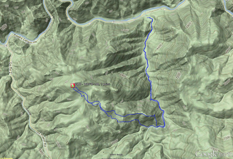
    The route I took

    I was looking for a better route to avoid the steep rock-outcroppings I had encountered on the way up. I found the ridge I was planning to take on my way up and forced my way through dead trees and thick brush – nothing I really enjoyed. Not sure whether it would be an better alternative to get to summit – maybe the westerly approach is no so bad at all. After a lot of swearing (if a man swears in woods and nobody is there, does it still make a sound?) I reached the bottom and followed the little creek towards east – the direction where I expected to meet the Young’s Gulch trail – which I eventually found. The way back to the trail-head/car seemed to be a lot longer than on my way up –  a clear sign that I was tired after five hours of bushwhacking but I got my SOTA point and another first.

    BTW, the winter storm arrived during the night as predicted and left us with a foot (~30 cm) of fluffy snow  in Fort Collins :)

    Some video impressions:

    httpvh://www.youtube.com/watch?v=bzaWovHJ0IM

    If you would like to leave questions or comments, please do so through Youtube.


    ATTENTION !! WARNING !! There are old mountaineers, and bold mountaineers… there are no old-bold mountaineers. Hiking and mountain climbing are potentially hazardous activities particularly in Colorado with its extreme elevations. I am not accepting responsibility for any death or injury resulting from activations based on my trip reports. Proper training, experience, and personal capability assessment is required – enjoy!