SOTA outings by KØMOS and contributors

Tag: Pierson Mountain

  • WØC/FR-16Ø (Pierson Mountain) – 2988 m / 9803 ft (via Hermit Park)

    W0C/FR-160
    Pierson Mountain
    2988 m / 9803 ft
    Nov 15, 2013
    Aug 30, 2014

    by KX0R

    Pierson Mountain is a moderate, pleasant summit to climb, and it offers a fun SOTA activation on the right day. My hikes to the summit were long, interesting trips through a beautiful area rich in history. This report covers my hike on Aug 30, 2014.
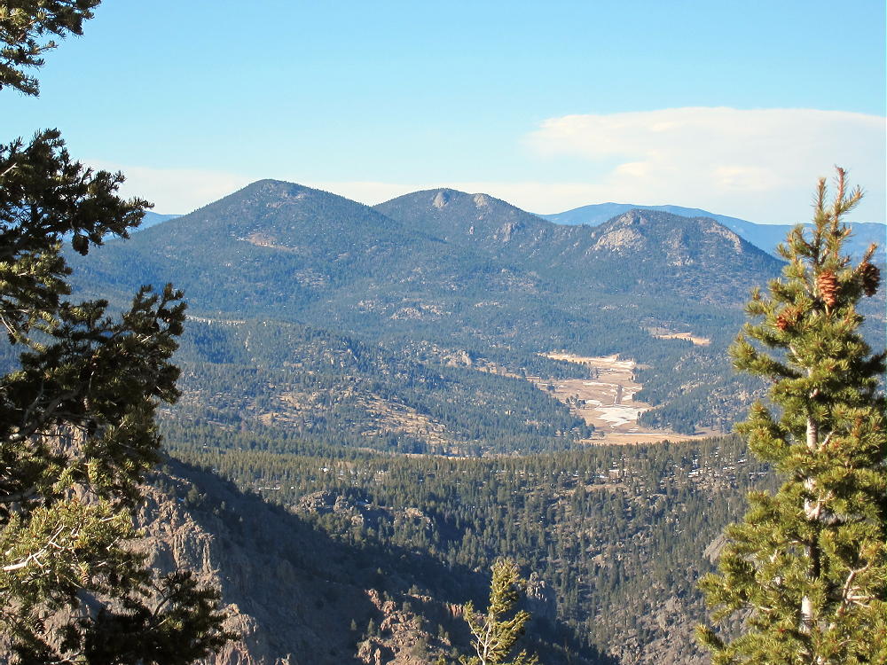
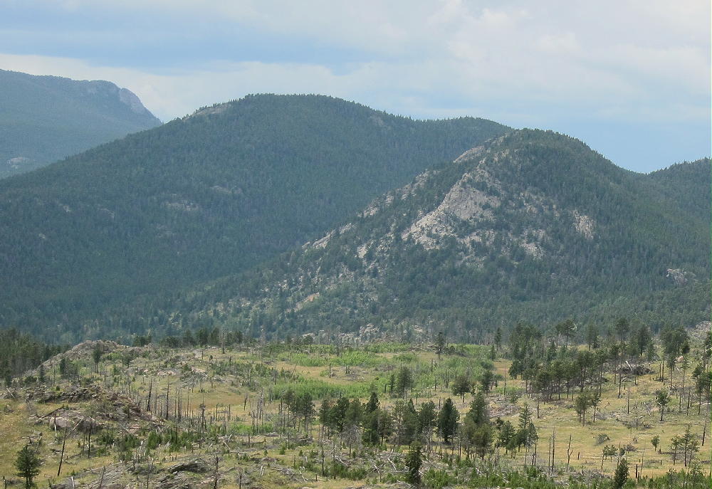
    Pierson Mountain and Lion Head from Taylor Mountain
    Pierson Mountain and Lion Head from Taylor Mountain

    I chose a route that begins in Hermit Park, a few miles south of Estes Park. There are several other ways to approach Pierson, which stands in an isolated part of the Roosevelt National Forest. The September 2013 floods did heavy damage to the region east of Longs Peak. The area around Pierson was affected by the flooding, and many roads and trails were officially closed after the floods. Most of the closed trails have been re-opened to foot travel, including the route described here, so getting to Pierson is not difficult.

    The trailhead I used is at the southern gate of the main Hermit Park access road. To reach Hermit Park, drive from Lyons northwest on Route 36. Several miles north of Pinewood Springs, travel through a long ascending meadow area; just south of the top of the big hill that descends to Estes Park, turn left at the sign to Hermit Park. This is a Larimer County Open Space Park, and a fee is required for entry. Drive into the Park and follow the unpaved main road for several pleasant miles, all the way to the gated end, with a large parking area near a huge meadow.  Click this link for a map!
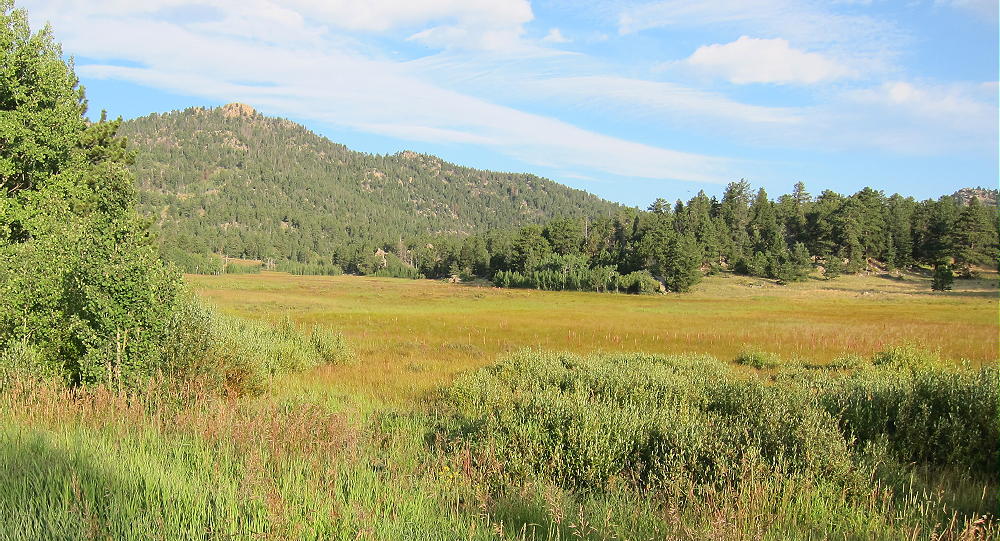
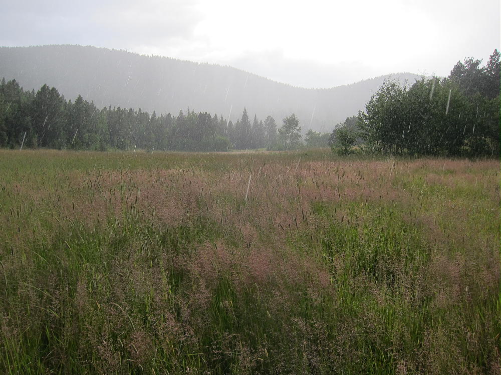
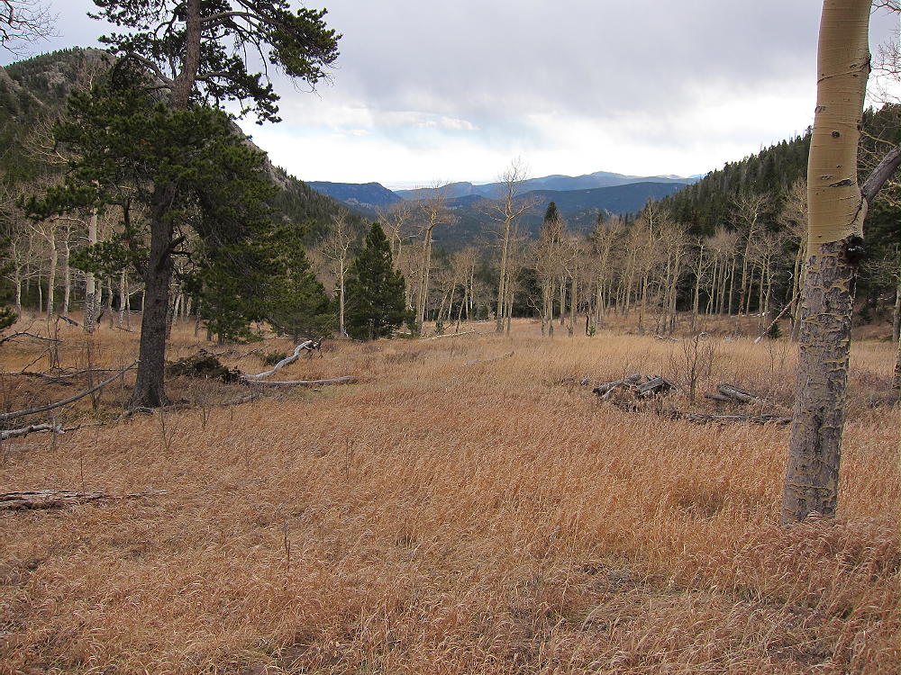
    Meadows in Hermit Park at Southern Trailhead
    Meadow in Hermit Park at Southern Trailhead

    Google maps show this road, but those maps don’t show most of the other key roads and trails used for this hike. Be sure you have a topo map before proceeding further; a GPS with detailed maps is useful also.

    From Hermit Park follow the marked trail to Homestead Meadows. This route begins on a gated road along the meadow, and then it heads off into the woods as a trail up over a saddle. Next the trail descends to a gated jeep road that ascends again, and that leads all the way to the Homestead Meadows in the National Forest. There are several old historical buildings around the Meadows, and this area is a popular hiking destination.
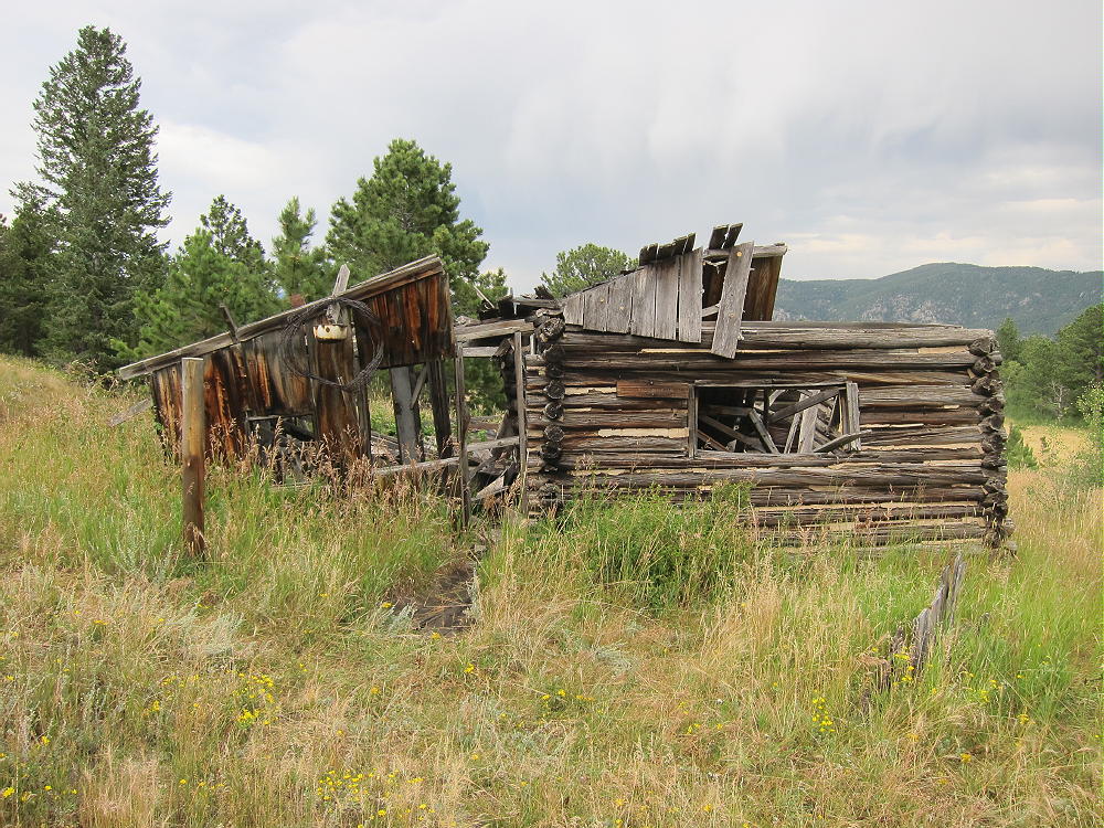
    Brown Homestead in North Part of Homestead Meadows
    Brown Homestead in North Part of Homestead Meadows

    Unfortunately the 2013 floods destroyed the popular trail up Lion Gulch, and that access route is currently closed. See my report on my Nov 15, 2013 activation. When the Lion Gulch Trail re-opens, it will provide a shorter access than the Hermit Park route.

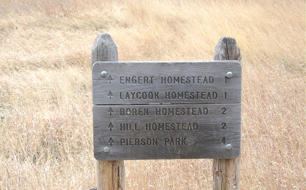
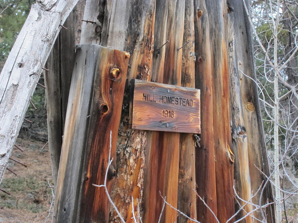
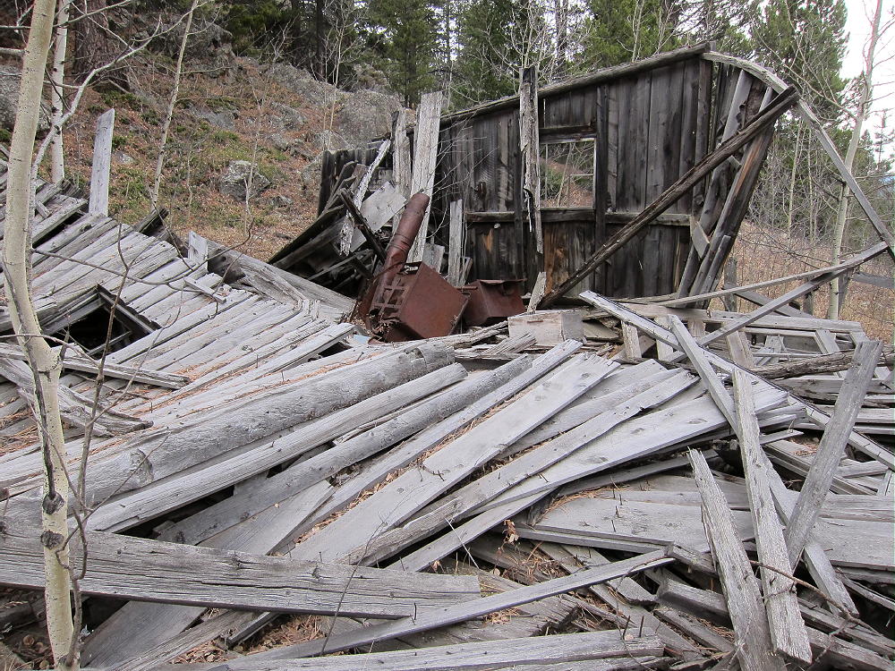
    Follow the Homestead Meadow road southeast past Lion Head on the west and Lion Gulch to the east, and circle all the way around the southeast end of the Lion Head ridge. Follow signs to the Engert Homestead, the Hill Homestead, and Pierson Park. Continue up over a low ridge, and then down about ½ mile to the southwest on an eroded jeep road. There is a sign on the west side of the road marking the trail to the Hill Homestead, up in the valley that ascends between Pierson and Lion Head – follow this path. The trail gets better as it ascends – eventually the old Hill Homestead ruins appear on the east side of the trail, along with other artifacts from about 100 years ago. This is a nice spot for a break and photos. There may be creek water available here, if you have a pump-filter.
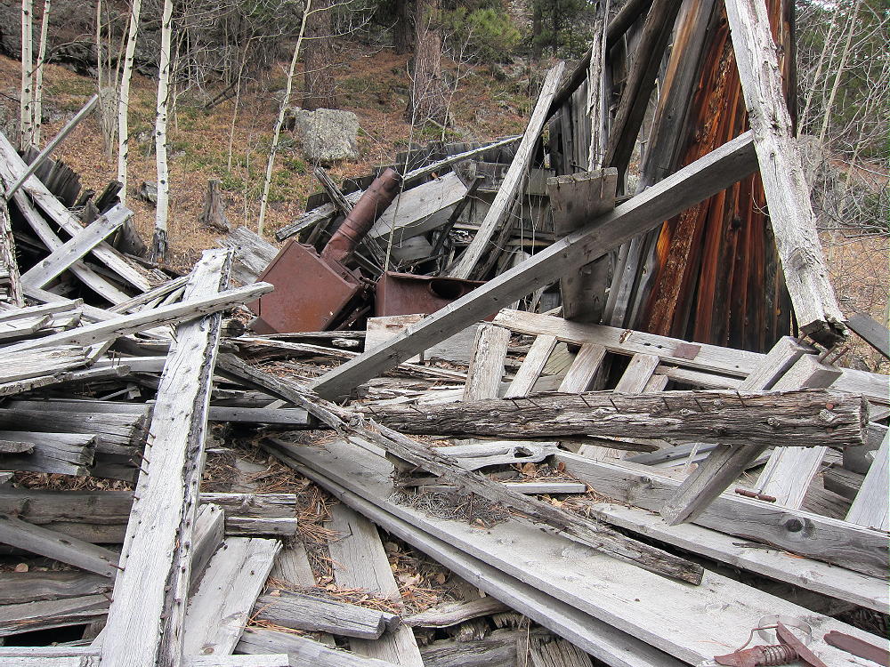
    Hill Homestead Ruins
    Hill Homestead Ruins

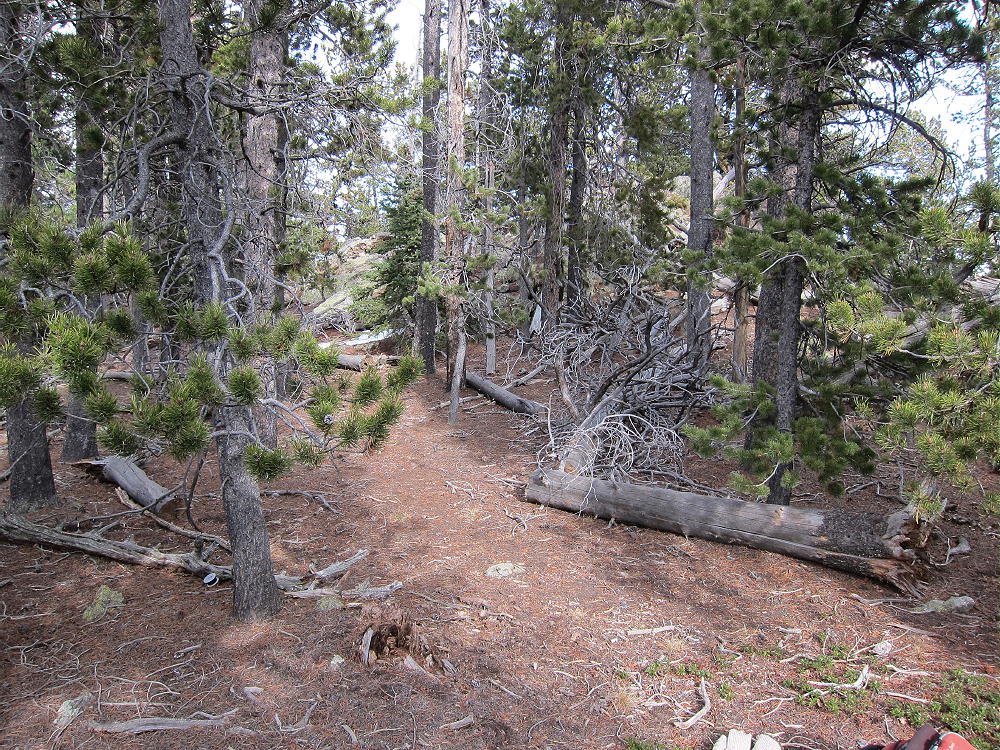
    It’s about one mile and 1000 vertical feet up to the saddle between Lion Head and Pierson, from where the path leaves the jeep road. Head southwest from this saddle, follow a game trail through the woods, and ascend the ridge to Pierson. This path leads up the slopes just east of the ridge-top. Go over or around a false summit, and continue south along the ridge for about 1000 feet to the actual summit.

    The pleasant forested area of the peak is ideal for setting up and activating. There are large pine trees available for antennas – no pole is required.
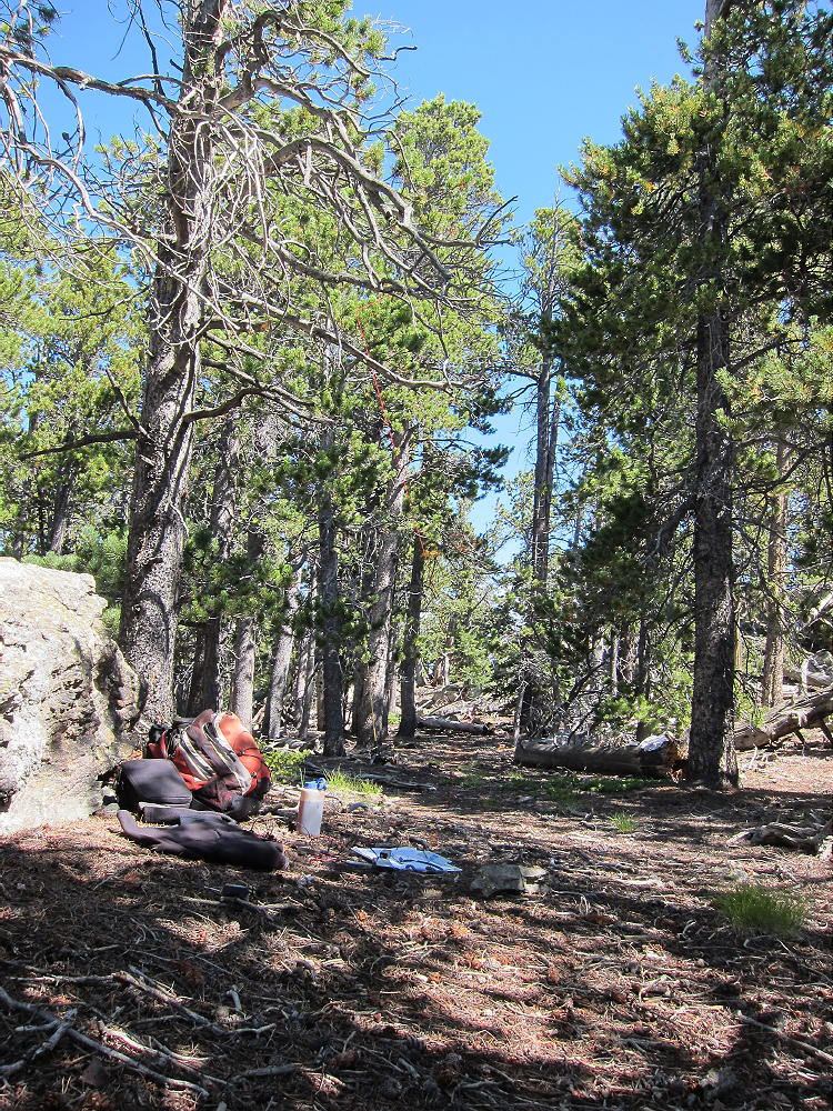
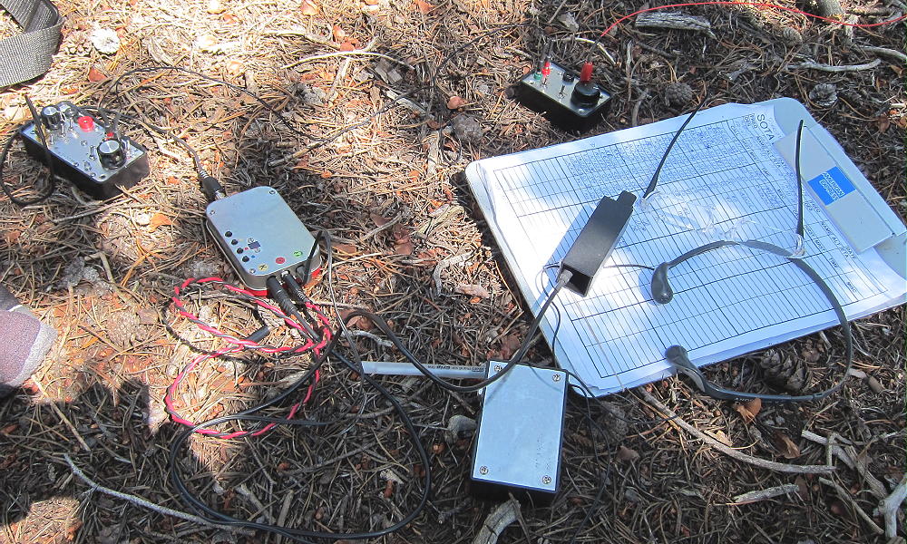
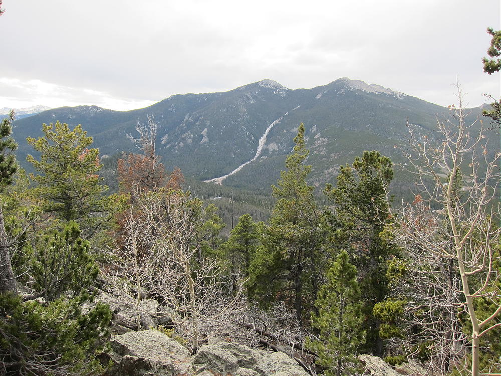
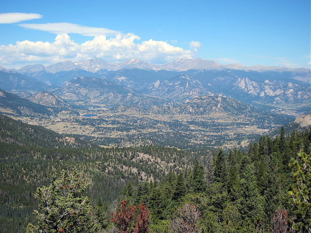
    The amazing view west reveals a huge recent mudflow on the east side of Twin Sisters Mountain. From Pierson you can see most of the National Forest between the Peak-to-Peak Highway and Route 36. Very few people live up there, and it’s near-wilderness, especially after the 2013 flood.
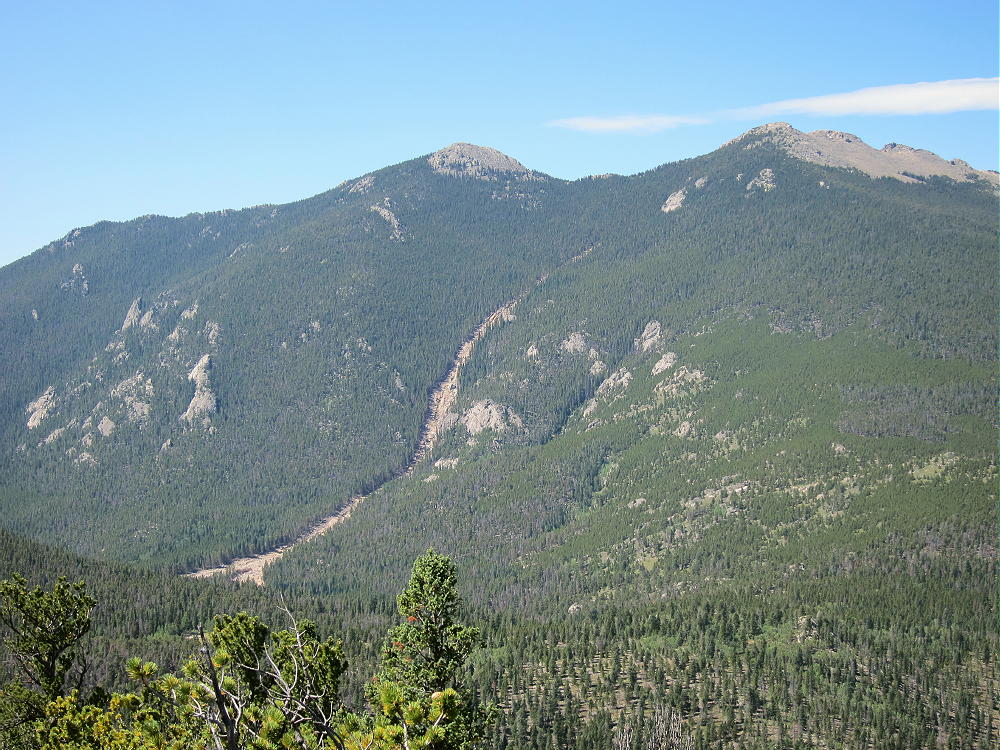
    Twin Sisters Mountain and 2013 Mudslide from Pierson Mountain
    Twin Sisters Mountain and 2013 Mudslide from Pierson Mountain

    It’s possible to take a short-cut from Homestead Meadows up across the Lion Head ridge and access the saddle between Lion Head and Pierson by a more direct, steeper route. This is a bushwhack trip, and some posted private land must be avoided.
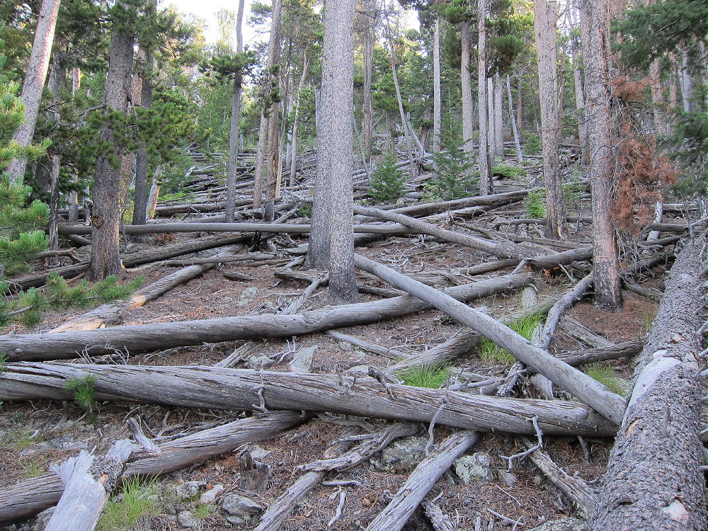
    East Side of Lion Head Bushwhack Route
    East Side of Lion Head Bushwhack Route

    The longer route described above is actually more reasonable, because it’s relatively flat, the hike is fast, and it’s very safe. With a little extra time, you can visit several of the homesteads to see what life was like for the early settlers in this isolated, beautiful area.
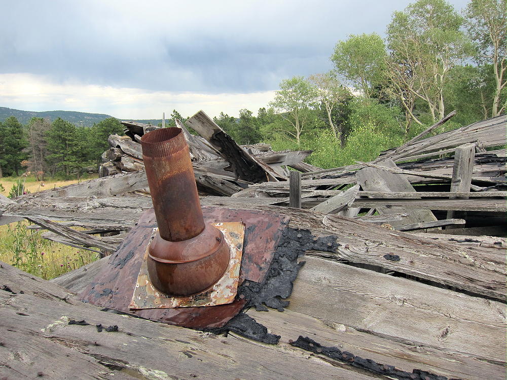
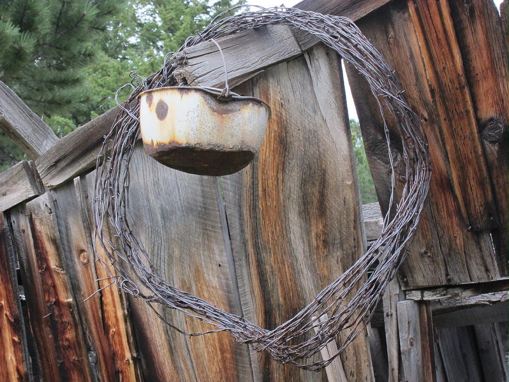
    Pierson can also be accessed more directly from the East Fork of Fish Creek northwest of Pierson and Lion Head. I have not hiked that area, but I believe there is a practical route over there; in particular, there is a trail up the west side of the Pierson-Lion Head saddle. There is private land that must be avoided – a large ranch is visible below Pierson on the west side.

    One advantage of hiking from Hermit Park, aside from the wonderful scenic tour of the Homestead Meadows, is that Kenny Mountain can be activated during the same expedition, with only a few additional miles added to the loop. With the Lion Gulch Trail currently closed, getting to Kenny is not easy, so it may be worth planning an all-day SOTA dual-activation trip to make the most of this long hike.
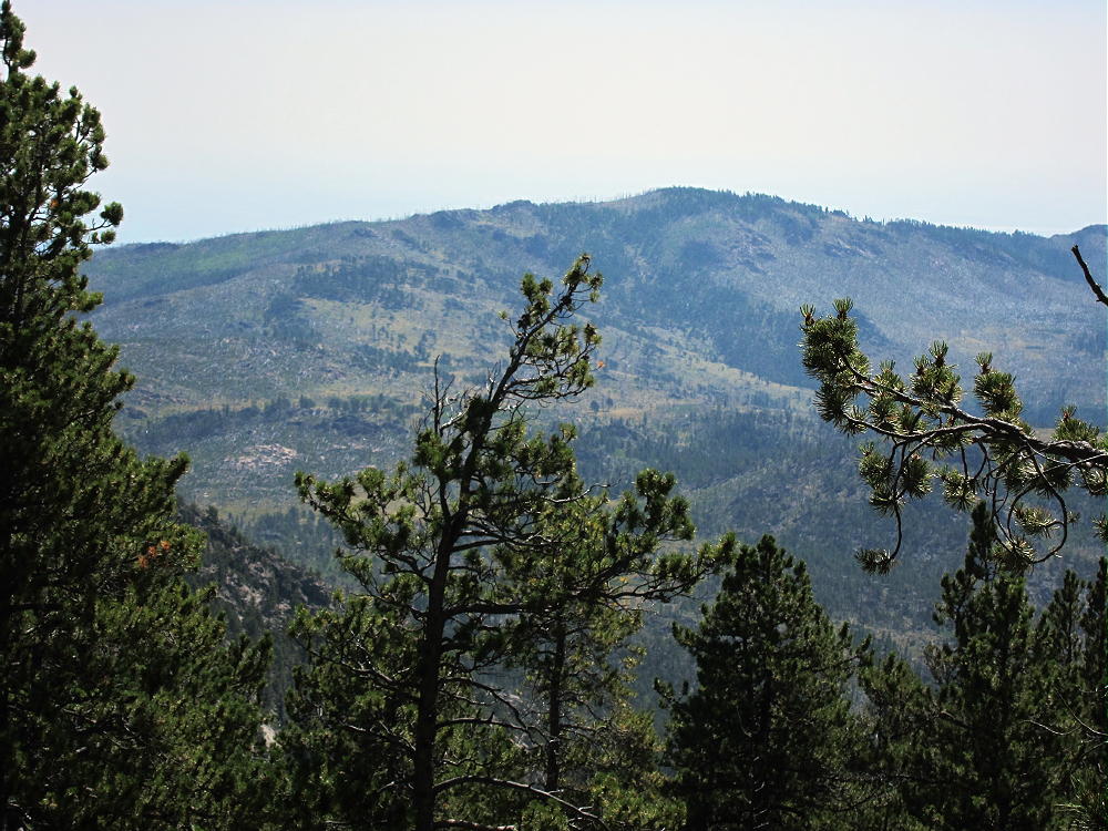
    Kenny Mountain from Pierson
    Kenny Mountain from Pierson

    See my report on Kenny Mountain W0C/FR-055.
    73

    George Carey Fuller
    KX0R


    ATTENTION !! WARNING !! There are old mountaineers, and bold mountaineers… there are no old-bold mountaineers. Hiking and mountain climbing are potentially hazardous activities particularly in Colorado with its extreme elevations. I am not accepting responsibility for any death or injury resulting from activations based on my trip reports. Proper training, experience, and personal capability assessment is required – enjoy!
  • WØC/FR-16Ø (Pierson Mountain) – 2988 m / 9803 ft (via Lion Gulch)

    W0C/FR-160
    Pierson Mountain
    2988 m / 9803 ft
    Nov 15, 2013

    by KX0R

    My first trip up Pierson Mountain was one of my most challenging SOTA activations. It was especially difficult with the short day and tricky weather on Nov 15, 2013.

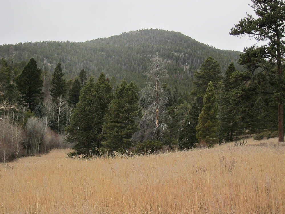
    Pierson Mountain from Hill Creek Trail
    Pierson Mountain from Hill Creek Trail on Nov 15, 2013

    Highway 36 northwest of Lyons was partly destroyed and closed by the September Floods, but it was re-opened in early November; I had seen cars parked at Lion Gulch a week before my hike, so I assumed the trail was useable. I Checked the USFS website, and there was no mention of the popular trail being closed. It was very windy on Highway 36, so my SOTA activation seemed uncertain. I drove to Lion Gulch with my gear; I arrived before 9 AM. There were no warning signs at the trailhead, but with all the destruction along Highway 36 near Lyons, I had a feeling there might be some problems down in the canyon. I saw a group of hunters with rifles start down the trail, only to return a few minutes later.

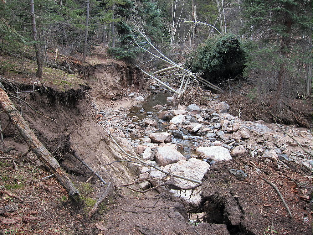
    At Lion Gulch the wind was not strong, so I decided to start the hike. When I descended down to the creek, I saw the extent of the 500-year flood’s destruction. The old bridge was still there, but it was useless. Because the water-flow was minimal, I had no problem crossing the icy creek – and so I headed toward the Gulch. I found the remains of the trail on the north side of Lion Gulch Creek and headed west up the Gulch. In the canyon there was massive, continuous flood destruction.

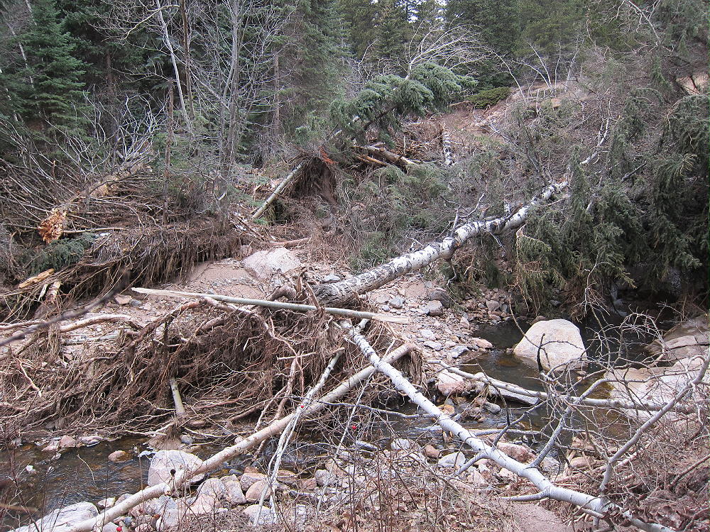
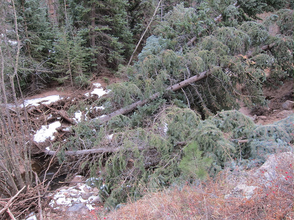
    Lion Gulch Flood #1
    Lion Gulch Flood Damage and Washed-Out Trail at Left

    There were numerous washouts, huge live fallen trees stacked up, enormous boulders, and new creek paths cut deep. The raging creek had filled the width of the canyon. At first I was able to follow the trail, but farther west, I found a long difficult section, where much of the trail was washed out, covered by fallen trees, or severely damaged.

    This was no ordinary bushwhack trip – this was Mother Nature’s obstacle course! I questioned the reality of what I saw many times – the old, sweet, familiar trail up Lion Gulch was gone, and there I was, working to connect the dots! Repeatedly I found detours created by others, followed the new “trail”, and passed around numerous blockades. The worst obstacles required creek crossings and climbing over piles of logs and trees. The creek was low, so the crossings were easy. There was ice along the creek; it’s dark and cold in the canyon in mid-November. At times I thought of going home, because there was no reason to believe that I could make it up the canyon far enough to get past the flood damage. It was a test of will.

    Lion Gulch Alterations after the Flood
    Lion Gulch Alterations after the Flood

    The main worry was not the incredibly ravaged Canyon, or the lack of a distinct trail, but the realization that returning through the Canyon after dark would be almost impossible, even with a light…this was no ordinary SOTA activation.

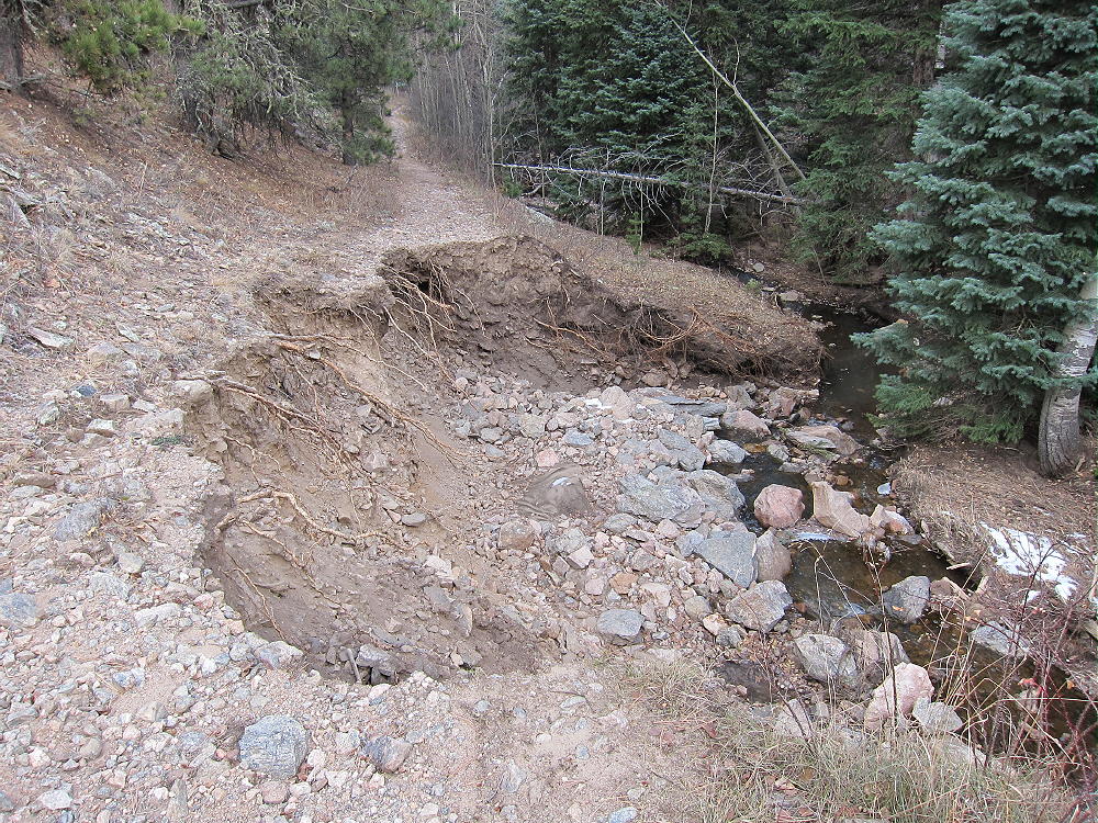
    At about 2 miles from the trailhead, the gradient of the Gulch moderates, and I could travel the original trail, for the most part. There were several places where the trail was severely slumped across or totally washed out, but the detours were easy.

    Lion Gulch Trail Slump
    Lion Gulch Trail Slump

    Closer to the Homestead Meadows, the trail was pretty good, and I managed to make time. I decided to go for the summit for sure. It was sunny, the wind was no problem, and the sky was blue! I found the old signs and trail to the southern Homesteads and headed south.

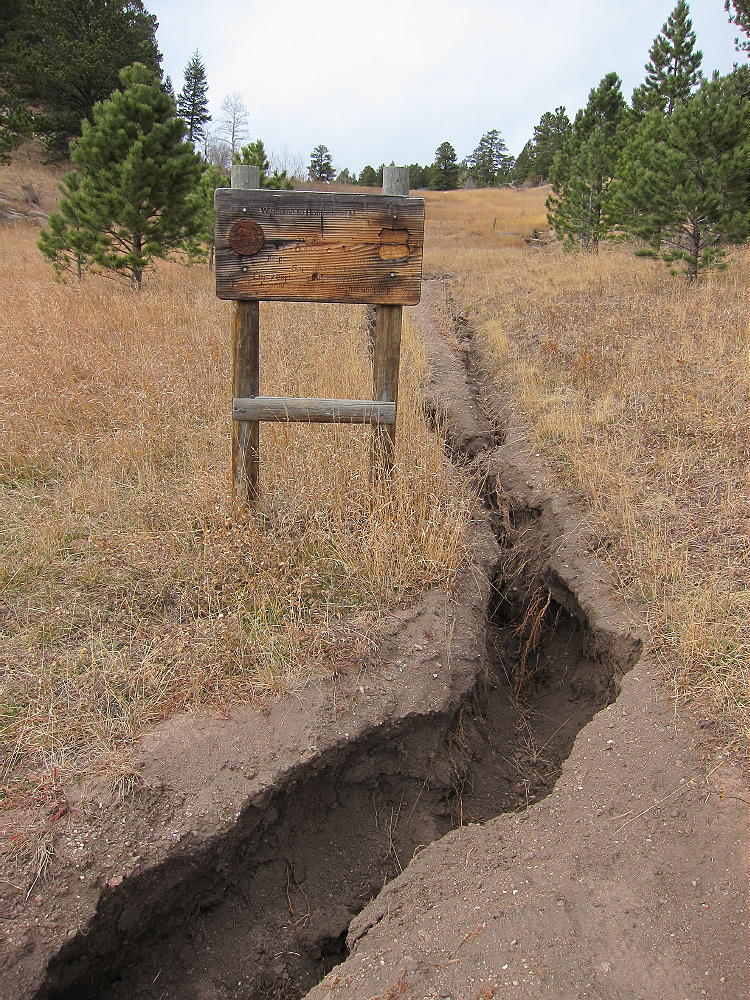
    There’s a short-cut path called Cat’s Paw, followed by a series of old dirt tracks – mainly FR 120 – that head south and southwest. That road eventually leads to Pierson Park – 4 miles from the first sign at Lion Gulch. This is also the way to Hill Homestead and Pierson Mountain. The road goes southwest up over a hill, and then down 300 vertical feet in about ½ mile to the southwest and west. The road has severe gullies from the floods. Even the meadows show erosion from four days of heavy rain!

    After passing the Hancock Homestead down the hill, there’s a marked junction where a path leads right, northwest, up to the old Hill Homestead. Initially the route is a single track that has been washed too deep to walk in. The path leads through the meadows, with Lion Head looming up to the north. Soon the remains of Hill Homestead appear – the house has fallen in, but the stove and bed are there. It was built in 1916.

    An outhouse and other wooden structures stand around the Homestead. The meadows are beautiful – the floods did little real damage up there – just extra erosion on the path and in the small creek. This is a special place with the acres of open forest and fields.

    HIgh Meadows near Lion Head above Hill Homestead
    HIgh Meadows near Lion Head above Hill Homestead

    The trail leads on up through the high meadows, progressively steeper, all the way to the forested saddle. There’s an old lean-to and a few artifacts from a campsite at the saddle.

    I headed southwest into the woods and picked up a game trail that generally follows the left side of the ridge up to Pierson. It’s about 9450 feet elevation at the saddle and almost 9800 feet at the first (false) summit. The real summit is about 300 yards south, but the route is easy through aspens along the ridge. The summit is a forested rocky top with a limited view. There is a notebook in a jar on the top – I signed. I reached the real summit at about 12:15 MST, which was amazing!

    Pierson Activation Zone and Summit behind the Trees
    Pierson Activation Zone and Summit behind the Trees

    There is a nice view of Twin Sisters Mountain from the south point of the real summit. I was stunned to see the huge new mudslide on the east side of the Mountain.

    View from Pierson Mountain to Twin Sisters, with New 2013 Mudslide on East Side of the Mountain
    View from Pierson Mountain to Twin Sisters, with New 2013 Mudslide on East Side of the Mountain

    A large rock and a flat spot nearby provide a good windbreak and radio-operating spot. With limited time available, I used a small fishing pole to get a Dacron line and then my 66 foot wire over a dead tree limb 35 feet up. The wire actually had to go over the branch and then about 10 feet farther – the line was over a second tree. Most of the wire was sloping down at about 35 degrees to the operating point. I loaded up on 15M at about 12:30 MST, and it worked great. I made 21 contacts on 15M CW. Signals were very strong with the solar flux about 175. I could hear echoes on several strong stations. We traded nice reports. There was very little noise – what a classic site! The East Coast and southeast signals were strong, and so were the CA and OR guys, as well as big signals from TX and AZ. The 66 foot wire worked well, never mind what the pattern was. The Reversed Beacon Network spotted me at 27 db at K3LR.

    I had planned also to operate on 20M and 40M, but clouds moved in, the temperature went down to about 40, and a few flakes of snow came down. At 12:50, fearing that much more snow might move in, I packed up and got off the summit. On the way down there was more snow flying – but it eventually blew by, and the weather improved slightly. The trip out was as fast as I could sustain – I was worried about going through the devastated Gulch in the dark, with sunset at 4:45. Although I was tired, the tricky trip down through Lion Gulch was OK – I remembered most of the key detours and crossings. I didn’t see anyone in there the whole day!

    When I got to the Lion Gulch Trailhead at 4:04 PM, I found that the USFS had closed the trail that day, unknown to me! It was not closed when I started my hike. Another man I met at the Trailhead told me he had also hiked the entire Gulch, and he had made it to the Homestead Meadows OK. The Lion Gulch Trail will be closed a long time.

    At the time of this report in March 2015, the Lion Gulch Trail is still closed, but the scenic back routes to Homestead Meadows are open to hikers. Please see my report on how to reach Pearson Mountain via the trailhead in Hermit Park.

    The Lion Gulch round-trip to Pierson Mountain and back was 12.5 miles, with a total vertical gain of 2750 feet – this includes 350 feet of ascent on the return trip. The total time was 7 hours, including about 45 minutes on the summit.

    George Carey Fuller
    KX0R

    Sign at East Side of Homestead Meadows
    Sign at East Side of Homestead Meadows

    ATTENTION !! WARNING !! There are old mountaineers, and bold mountaineers… there are no old-bold mountaineers. Hiking and mountain climbing are potentially hazardous activities particularly in Colorado with its extreme elevations. I am not accepting responsibility for any death or injury resulting from activations based on my trip reports. Proper training, experience, and personal capability assessment is required – enjoy!